
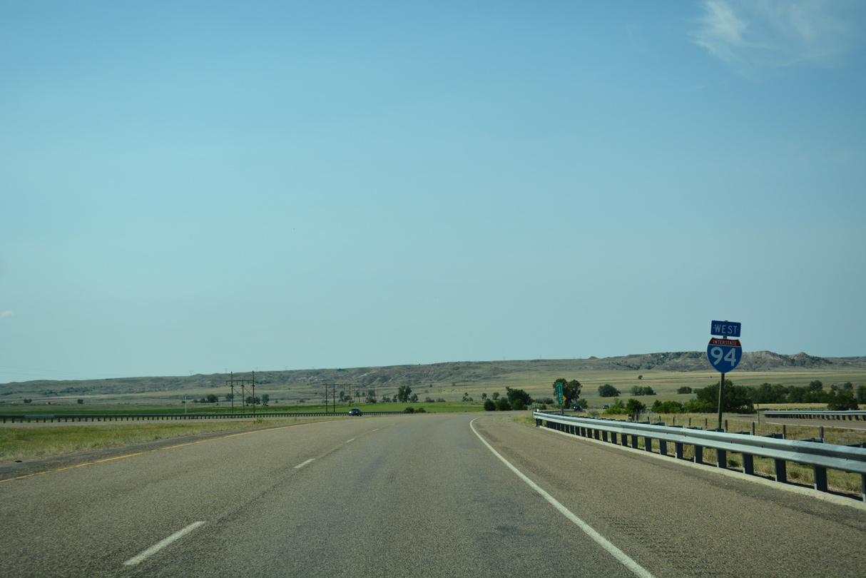
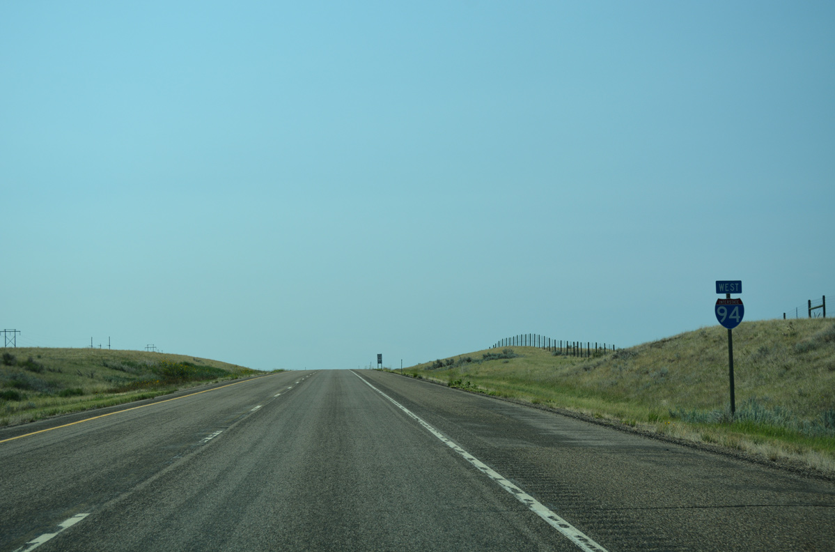
Interstate 94 West - Fallon to Miles City
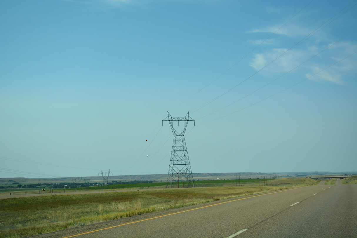
Transmission lines accompany the I-94 corridor southwest from West Glendive to a substation south of Exit 49 in Yellowstone County.
08/07/16

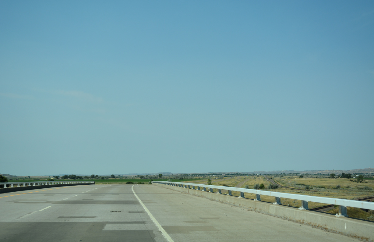
Interstate 94 angles southwest to cross the Yellowstone River ahead of Fallon.
08/07/16
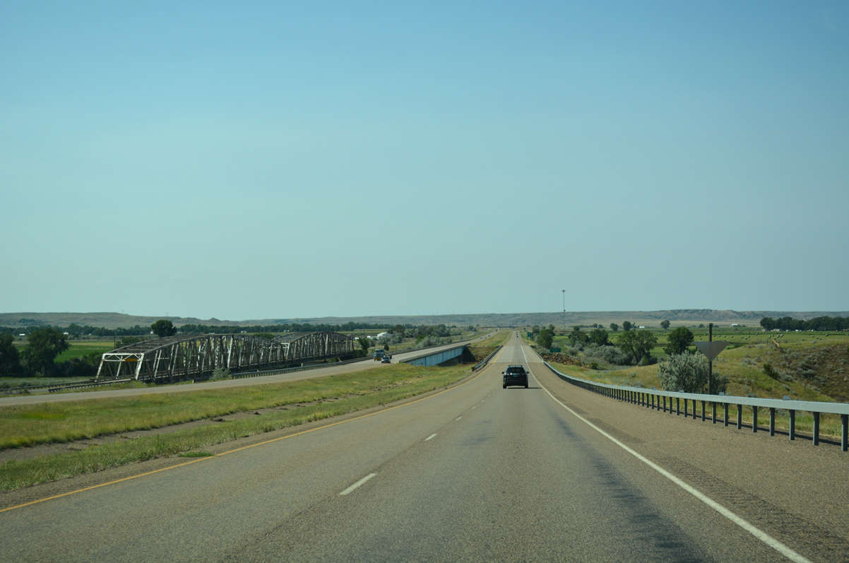
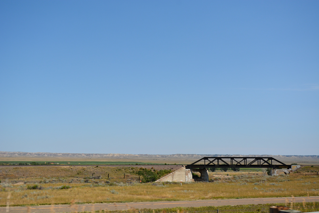
A Warren through truss bridge parallels the east side of I-94. The Yellowstone River Bridge along historic U.S. 10 dates back to 1945.
08/07/16
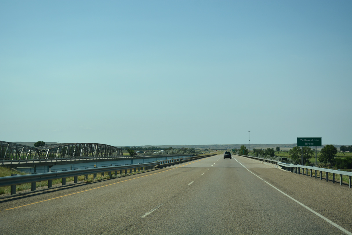
The steel girder bridges for Interstate 94 across the Yellowstone River were built in 1978.
08/07/16
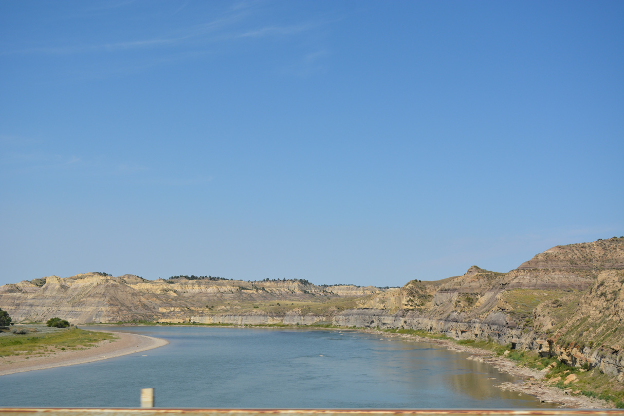
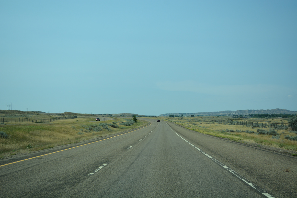
The Yellowstone River shifts sides to flow north of Interstate 94 from Fallon for the remainder of the freeway west to Billings.
08/07/16
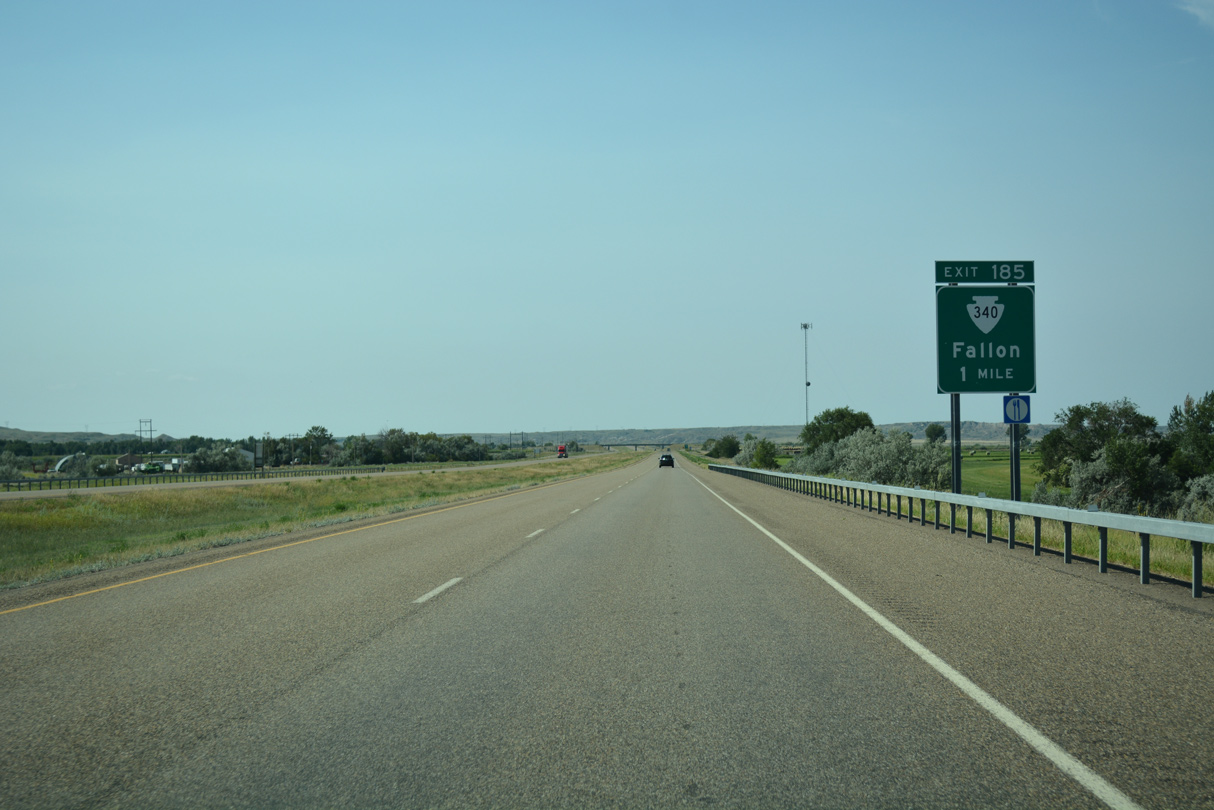
Montana Secondary Highway 340 stems east from a diamond interchange (Exit 185) with I-94 into unincorporated Fallon.
08/07/16
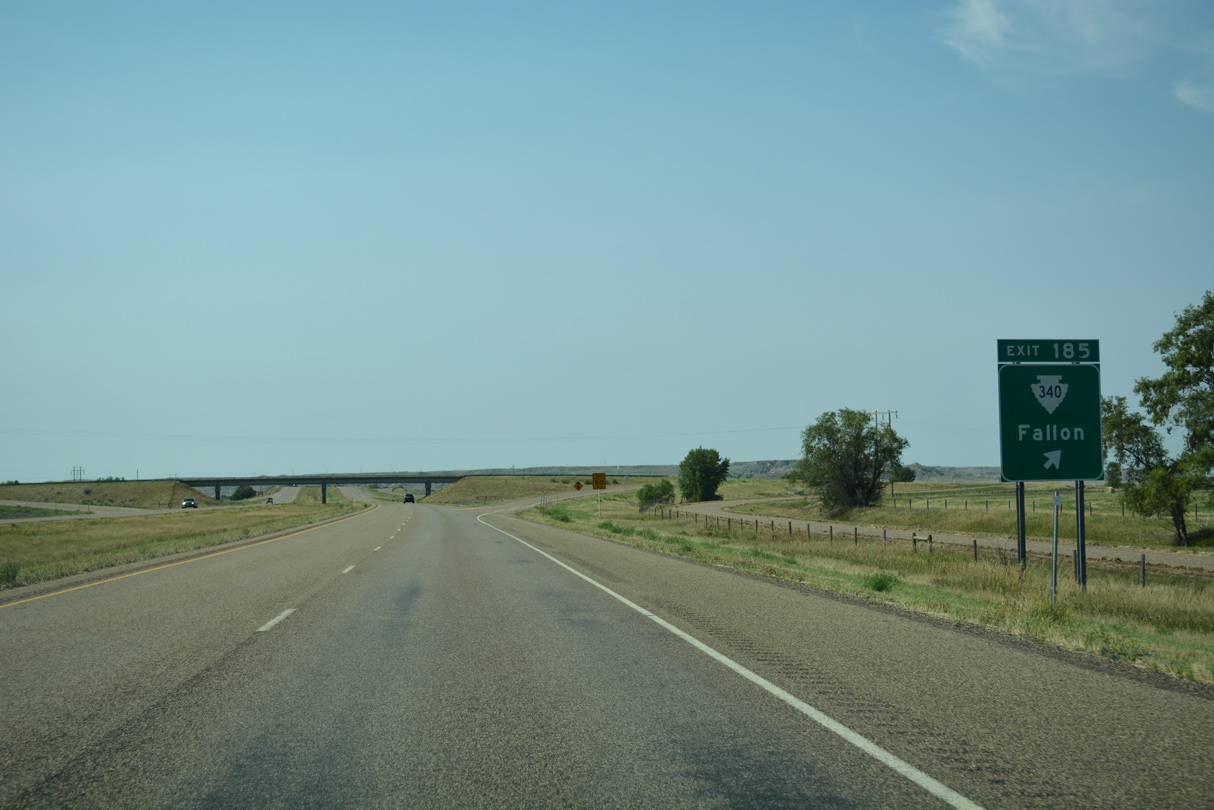
S-340 follows Fallon Flat Road and Railway Avenue across the Fallon street grid. The state highway takes a stair stepped route southeast 19 miles to Mildred.
08/07/16
Interstate 94 spans a BNSF Railroad line just west of Fallon.
08/07/16
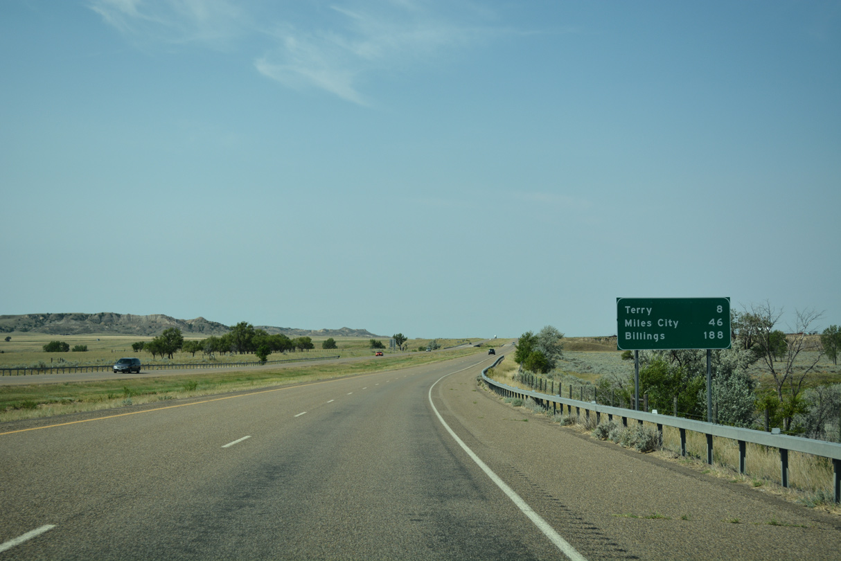
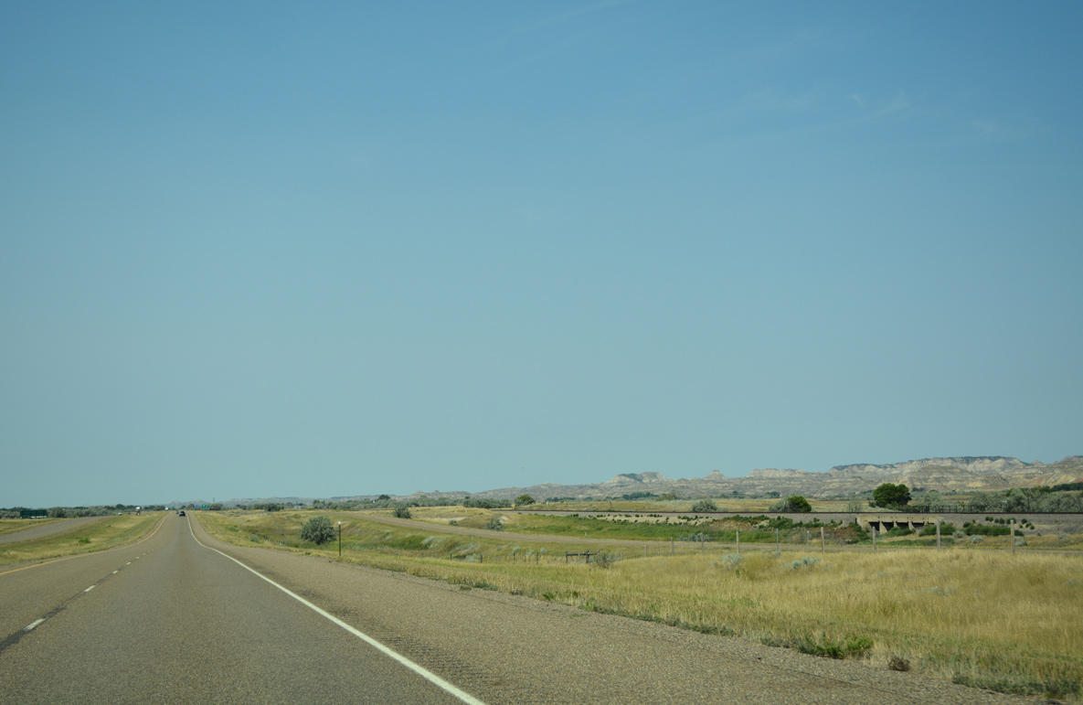
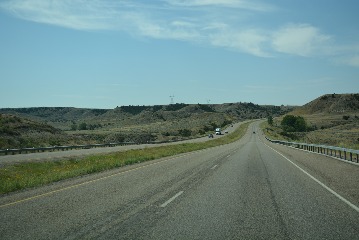
An uninterrupted stretch leads I-94 west eight miles to the Prairie County seat of Terry. Miles City is the next major service center for Interstate 94 in 46 miles.
08/07/16
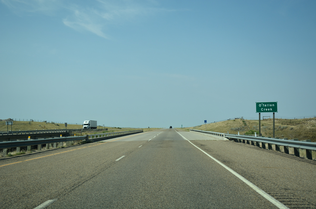
O'Fallon Creek originates from the Beaver Flats plateau well to the south in Carter County. The waterway empties into the Yellowstone River just north of the bridge for I-94 built in 1969.
08/07/16
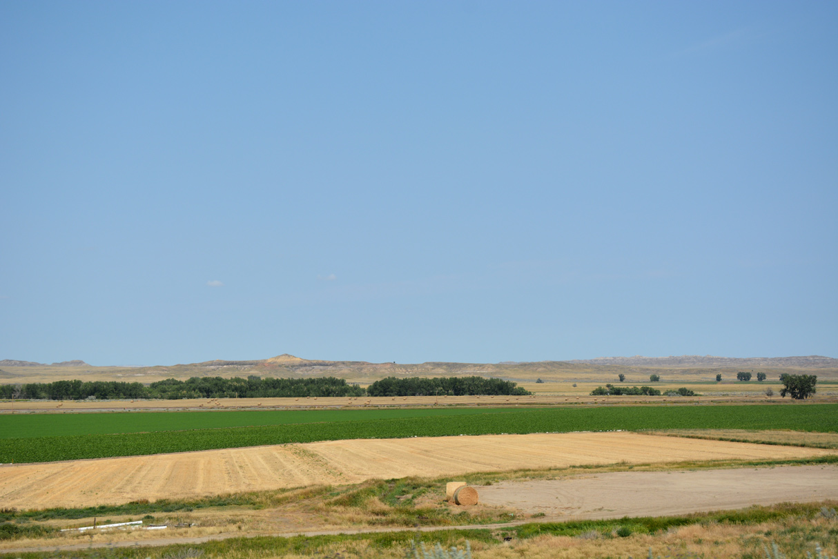
Northern view of adjacent Old Highway 10 and farm land spreading north from the Yellowstone River.
08/07/16
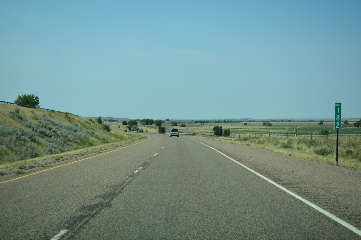
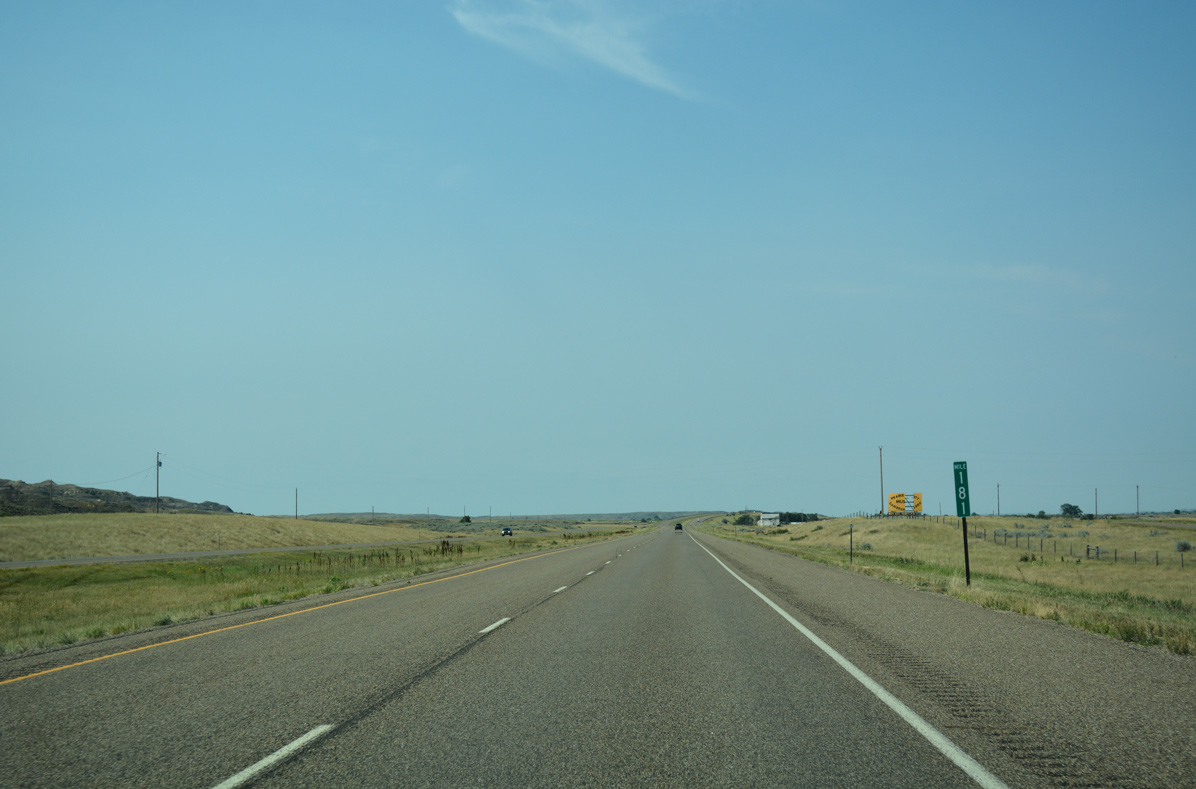
Interstate 94 straddles the north side of Broadview Bench plateau at milepost 182.
08/07/16
BNSF Railroads line both sides of Interstate 94 and adjacent Old Highway 10 west toward Terry.
08/07/16
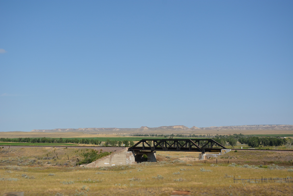
The two BNSF Railroad lines combine west of this pony truss bridge to the north of Old Highway 10 and I-94.
08/07/16
Ash Creek passes below both I-94 and Old Highway 10 through culverts on the outskirts of Terry.
08/07/16
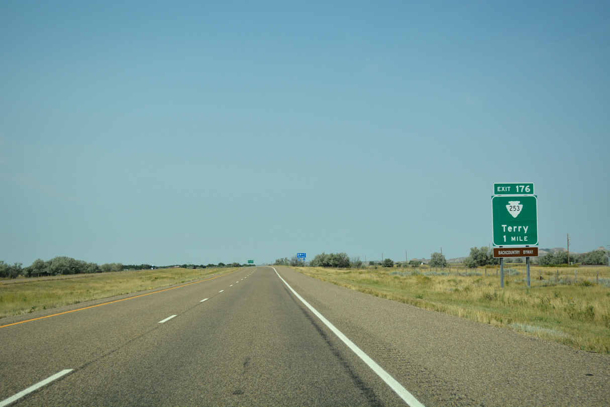
A diamond interchange (Exit 176) joins Interstate 94 with S-253 north and Ten Mile Road at the southeast corner of Terry.
08/07/16
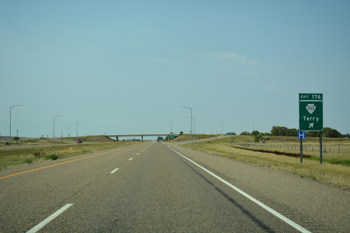
S-253 travels 47 miles northwest from Exit 176 to Brockway and MT 200.
08/07/16
Interstate 94 west passes between the Terry street grid (Montana Boulevard) and Terry Airport (8U6).
08/07/16
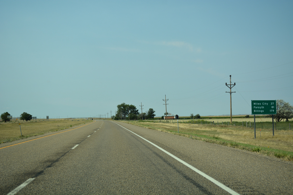
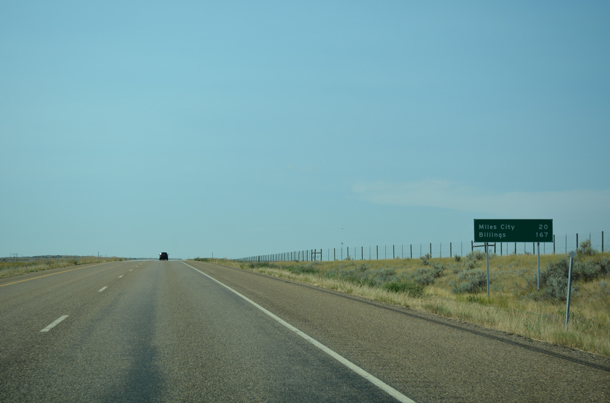
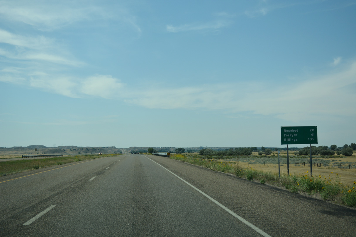
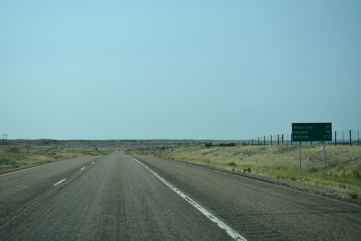
Forsyth, seat of Rosebud County, debuts on distance signs for westbound travelers at 81 miles out. Miles City is a half hour away.
08/07/16
4,670 vpd were recorded in 2015 by MDT along the Interstate 94 straight away after Terry.
08/07/16
A bend of the Yellowstone River appears in the distance in this vista north of I-94 at Conns Coulee.
08/07/16
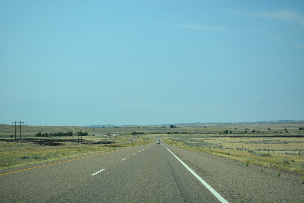
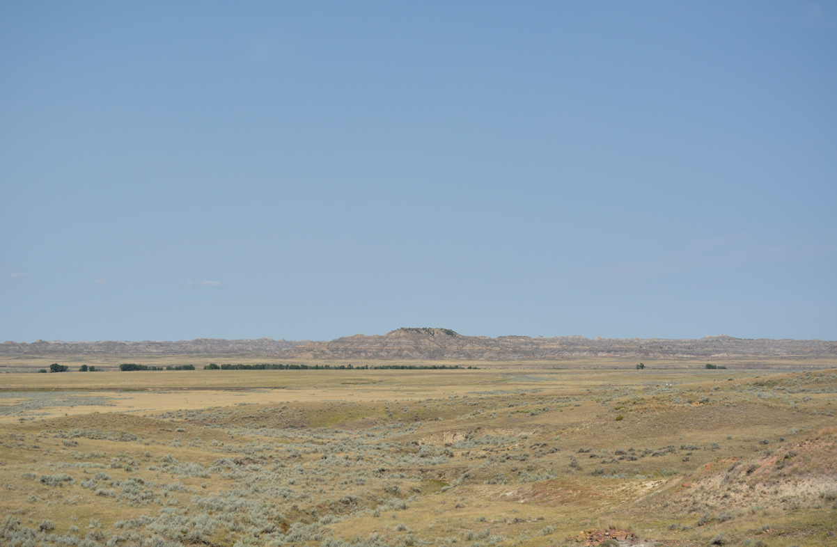
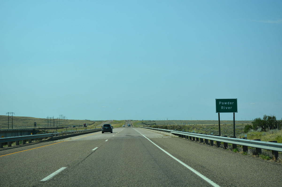
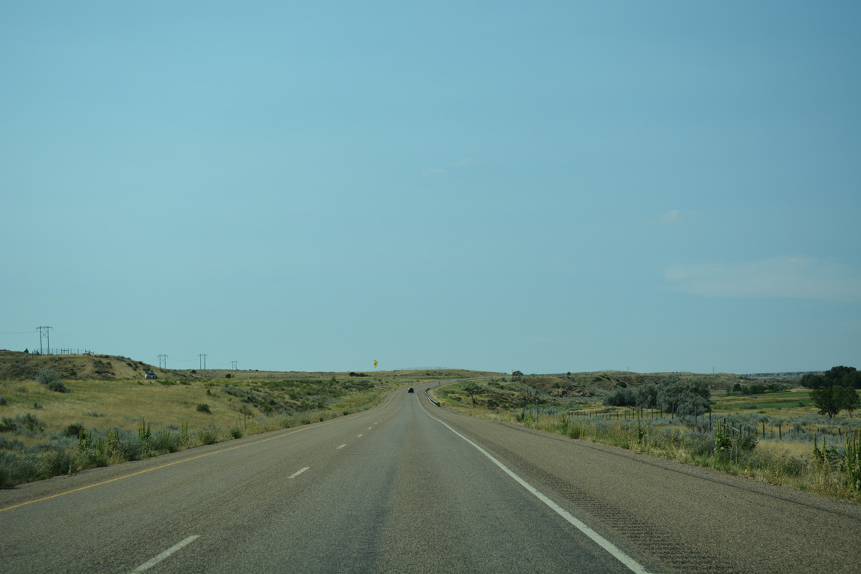
Interstate 94 turns more southerly across a broad valley fed by the Powder River.
08/07/16
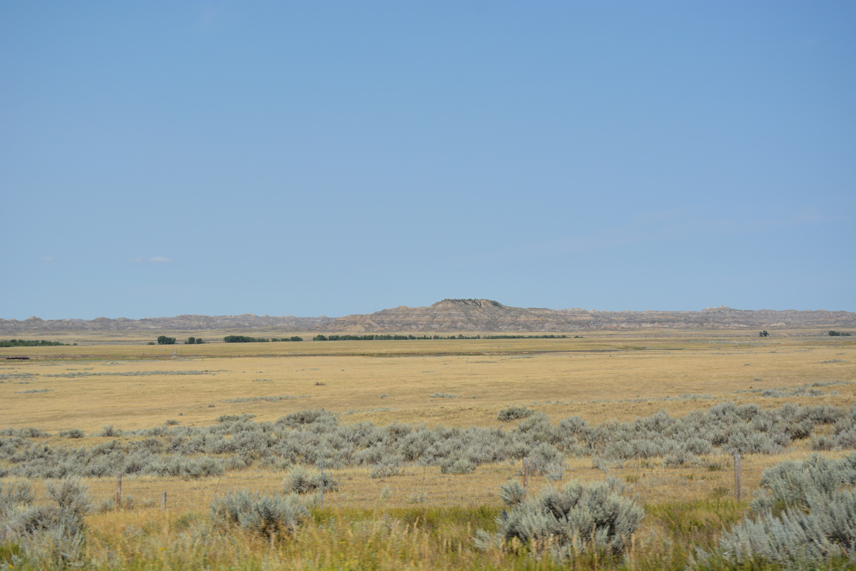
Sheridan Butte (el. 2,650 feet) rises to the northwest across the Yellowstone River.
08/07/16
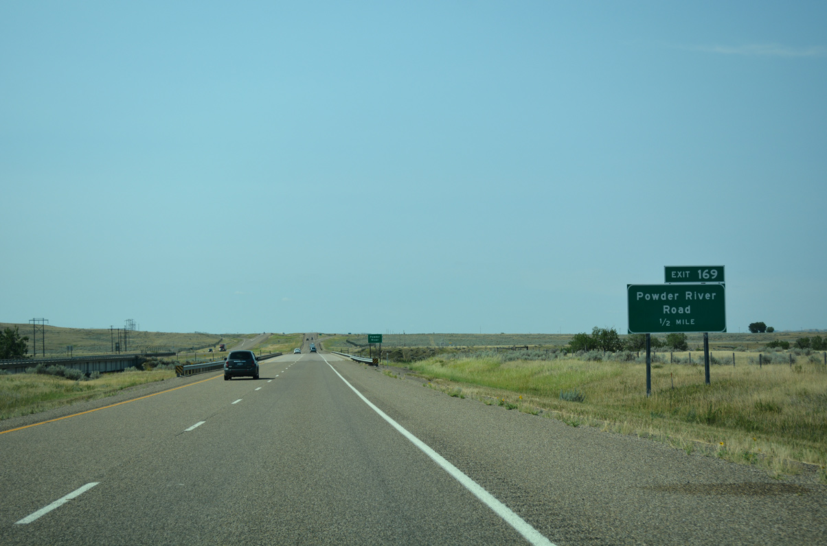
Exit 169 joins I-94 with Powder River Road as it spurs south from Old Highway 10 to ranch land.
08/07/16
The bridges across the Powder River for Interstate 94 were built in 1971.
08/07/16
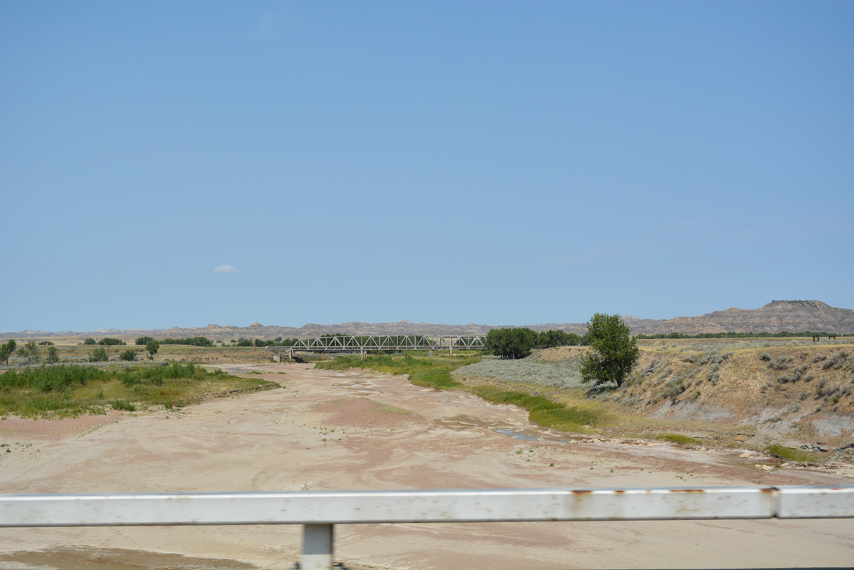
Old Highway 10 spans the dry bed of the Powder River just north of Exit 169 across a 1945 Warren through truss bridge.
08/07/16
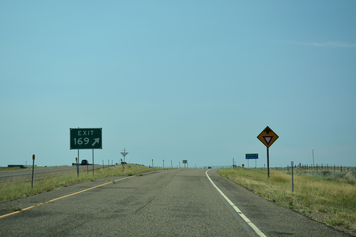
Exit 169 connects I-94 with Old Highway 10 west to the BNSF Railroad sidings of Blatchford and Zero.
08/07/16
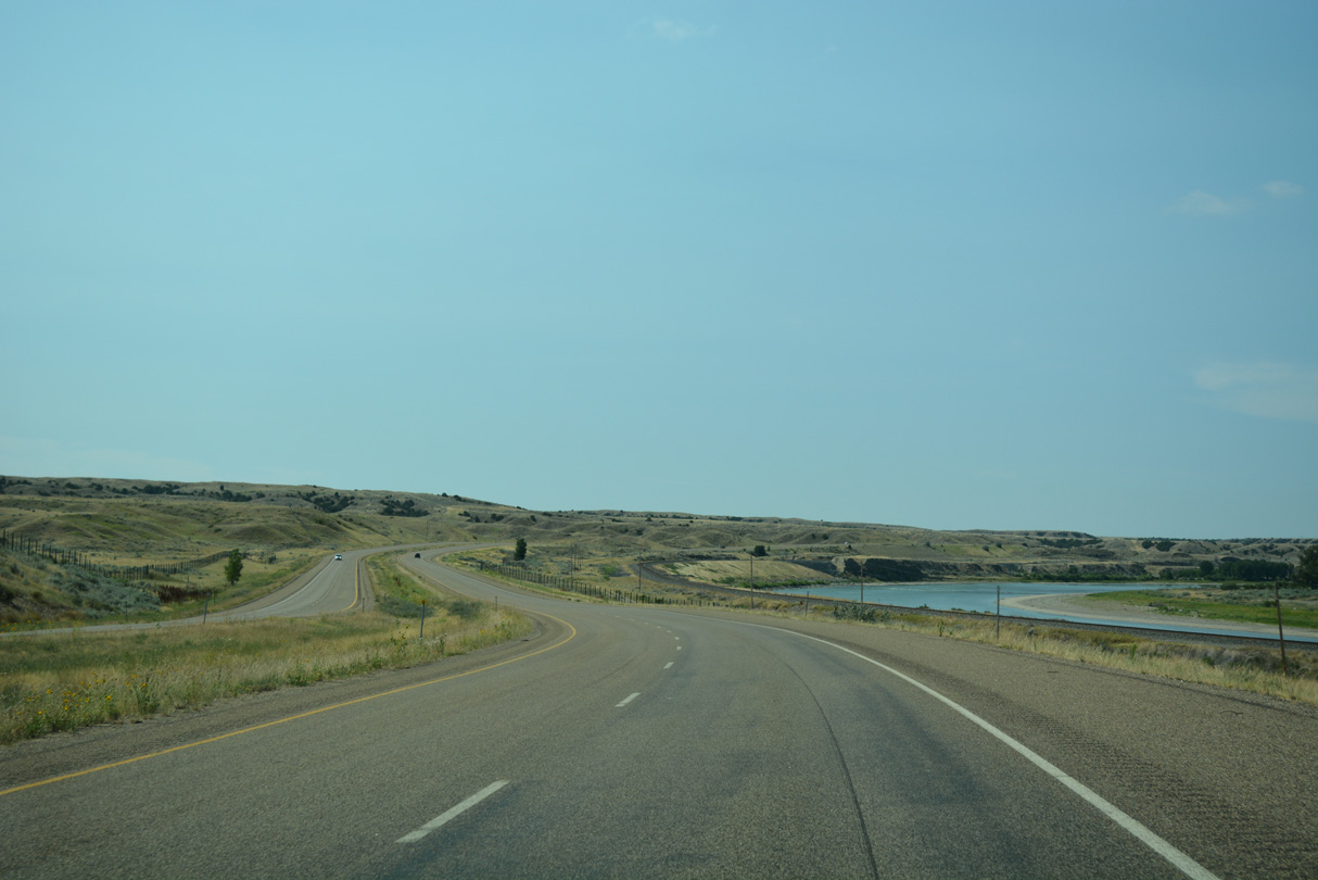
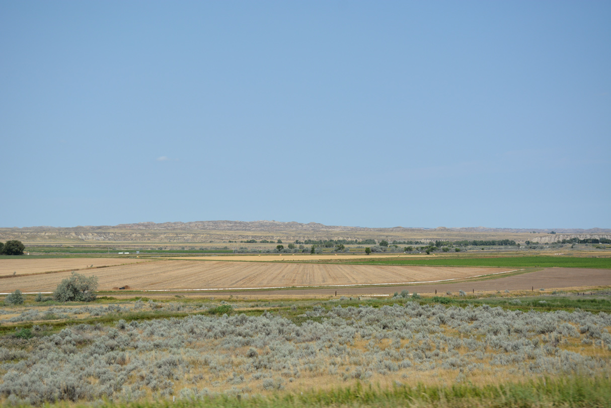
Interstate 94 lines agricultural areas just above Old Highway 10 and the Yellowstone River over the ensuing 12 mile drive south from Powder River Road.
08/07/16
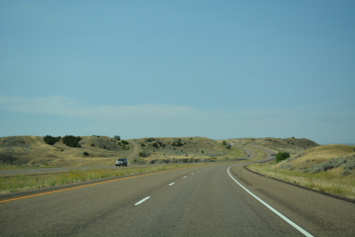
The freeway makes a series of S-curves south of Camp Creek.
08/07/16
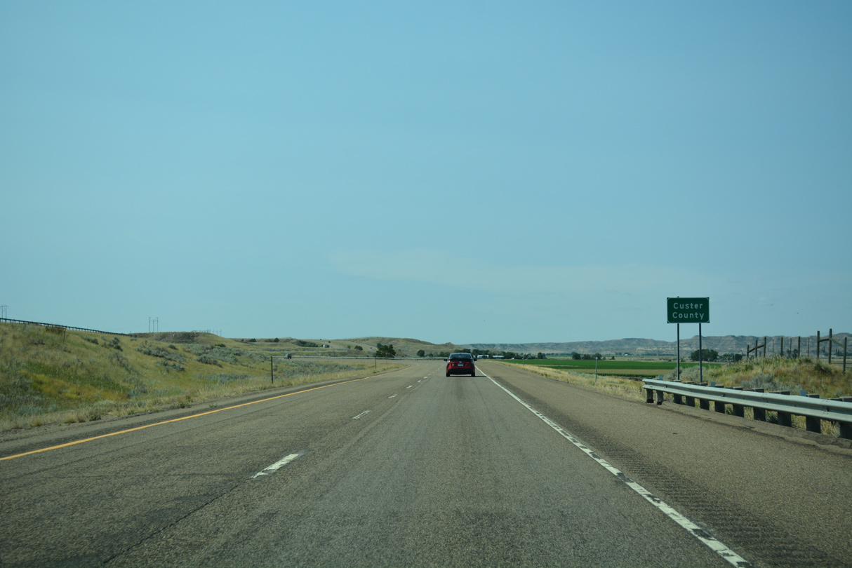
Westbound I-94 crosses into the northwest quadrant of Custer County near the BNSF Railroad siding of Benz.
08/07/16
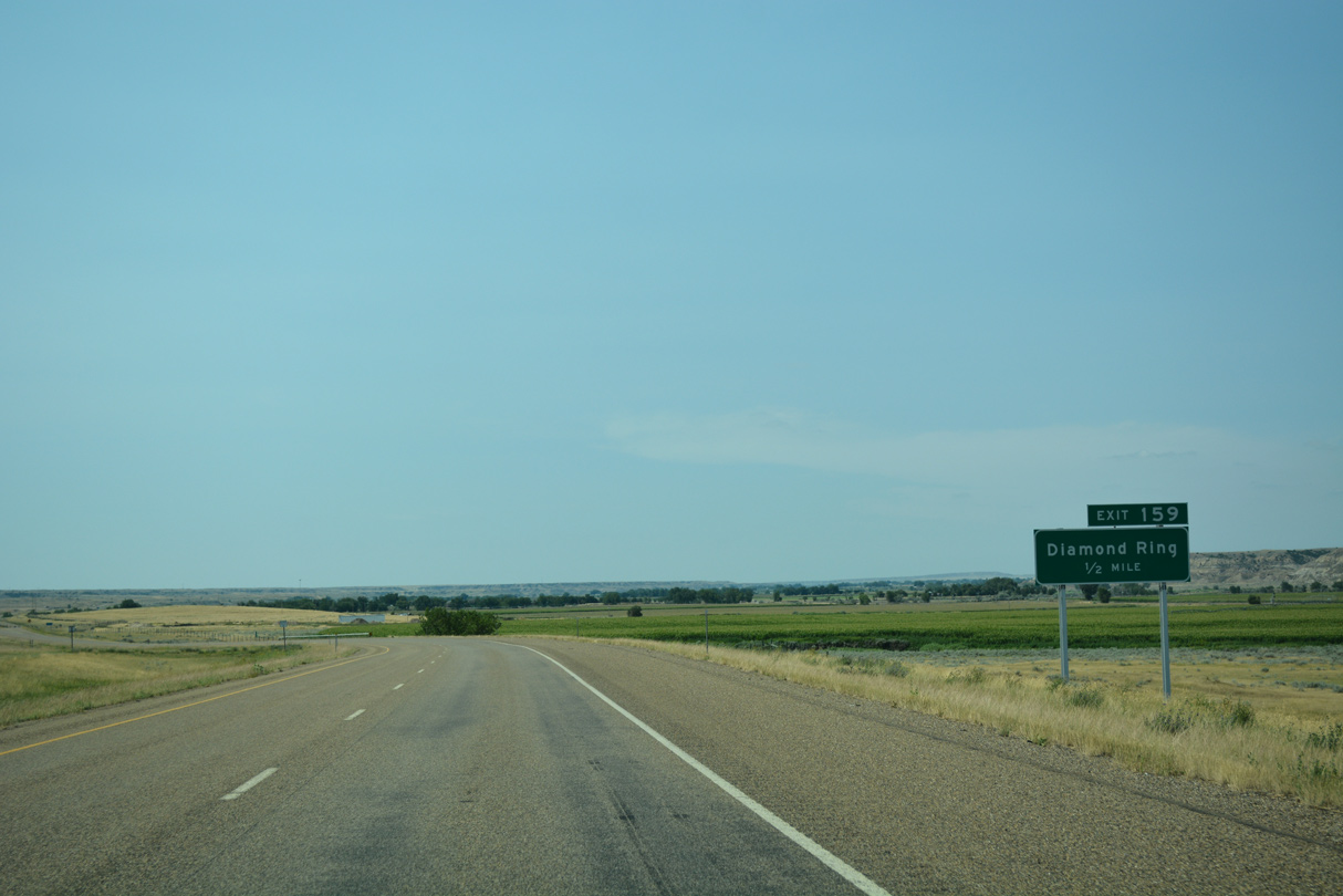
The first of seven exits in Custer County is the diamond interchange (Exit 159) with Diamond Ring Road.
08/07/16

The ranch exit for Diamond Ring Road connects with old U.S. 10 (Frontage Road) as it plies across adjacent farmland south from Benz to Shirley.
08/07/16
Westbound Interstate 94 crosses Cottonwood Creek beyond this confirming marker and mile marker 159.
08/07/16
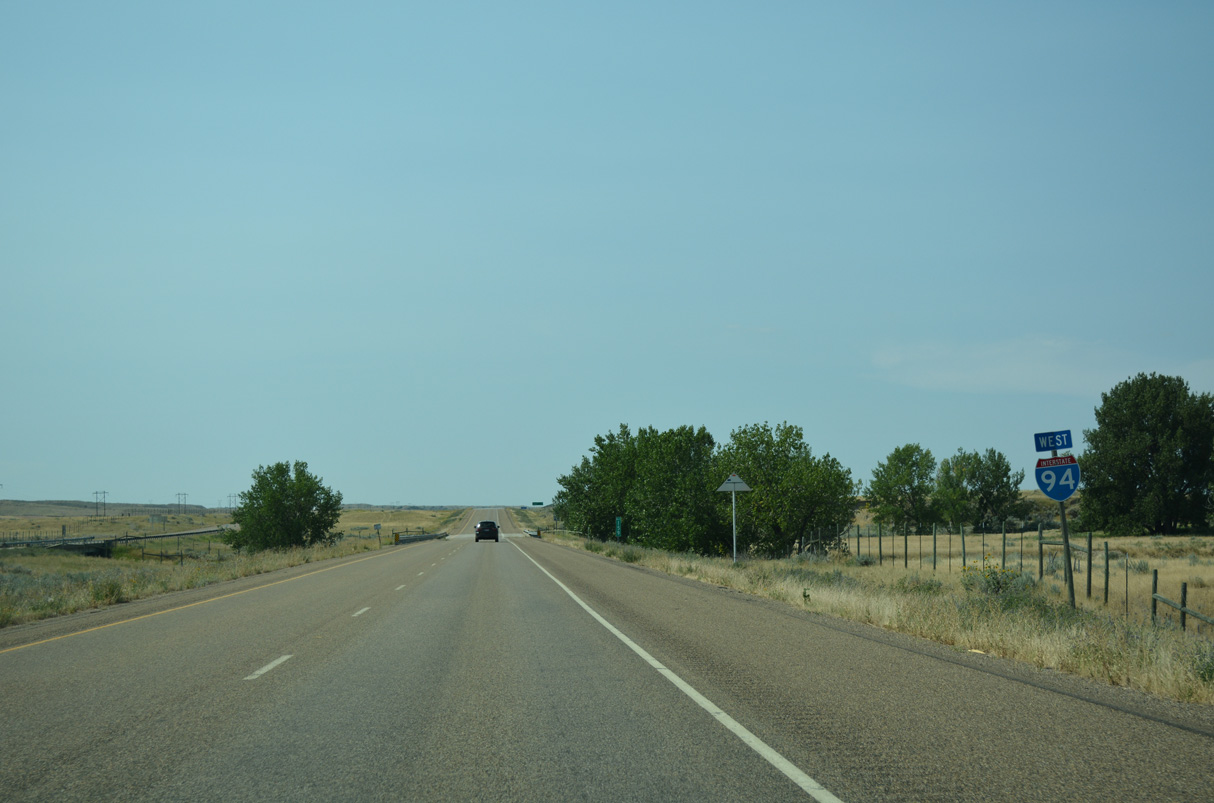
A sparsely populated 20 mile stretch leads Interstate 94 west to Miles City.
08/07/16
Interstate 94 shifts west from Dead Horse Creek toward the parallel Yellowstone River.
08/07/16
Interstate 94 overtakes the old alignment of U.S. 10 along the BNSF Railroad and Yellowstone River south from mile marker 156 and Hay Creek.
08/07/16
The old alignment of U.S. 10 reemerges from Interstate 94 to the south beyond mile marker 154 at Deep Creek.
08/07/16
Interstate 94 west crossing Dixon Creek.
08/07/16
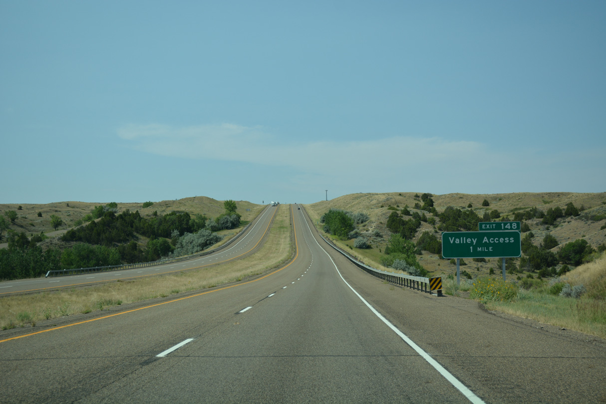
Exit 148 connects Interstate 94 with Valley Drive E (Old U.S. 10) west to farmland along the Yellowstone River.
08/07/16
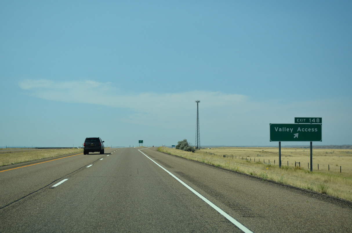
Old U.S. 10 ties into the diamond interchange at Exit 148 from the east.
08/07/16
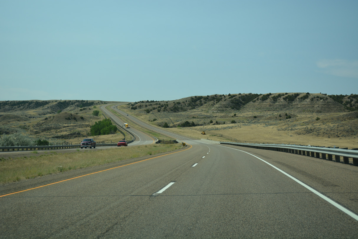
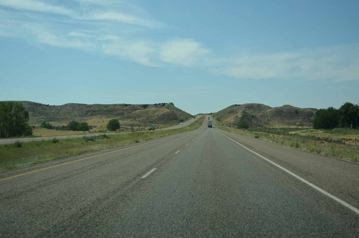
Interstate 94 straddles the bluffs rising east of the Yellowstone River on the ensuing stretch south.
08/07/16
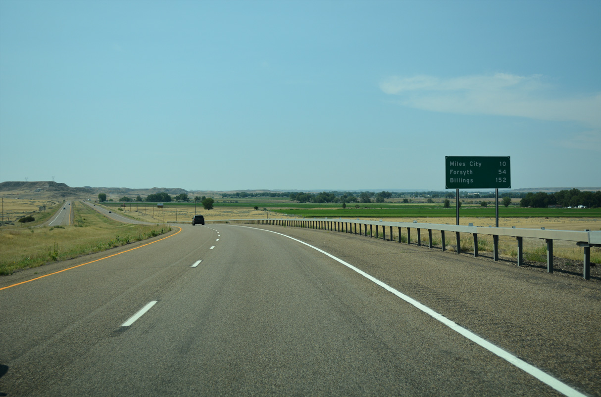
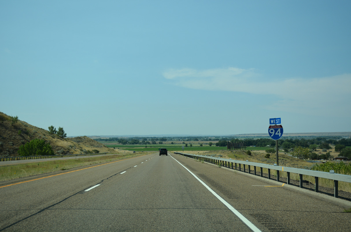
Billings is referenced at 152 miles, five miles beyond the west end of Interstate 94.
08/07/16
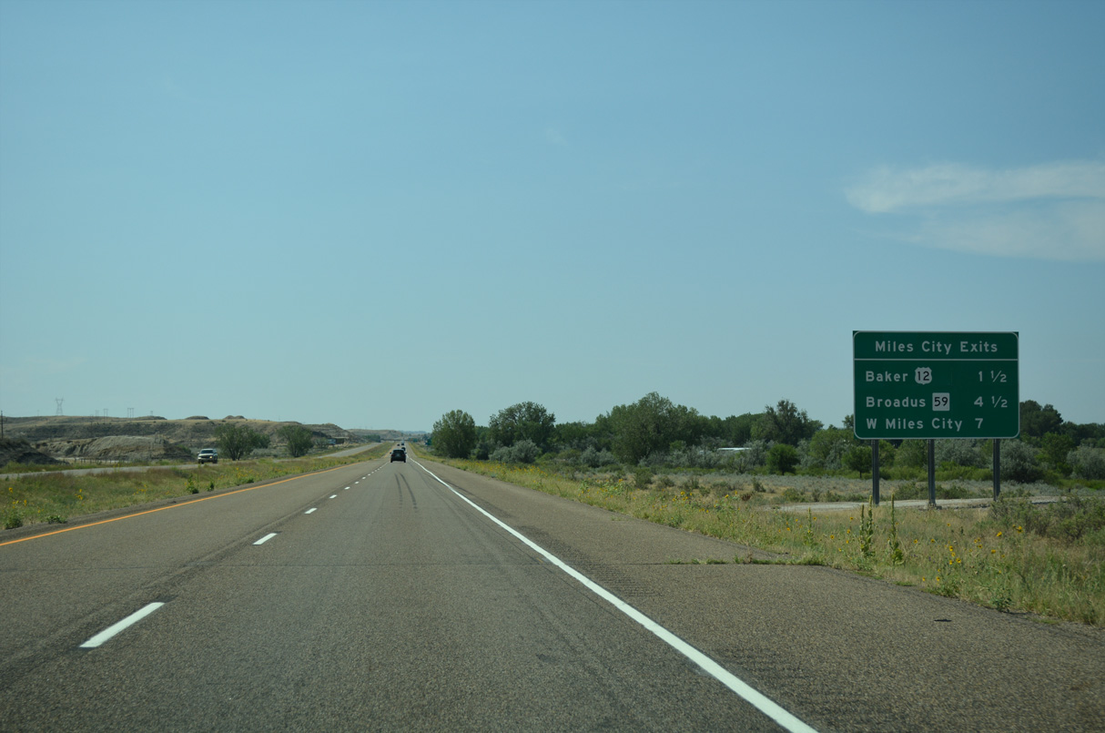
Three exits join Interstate 94 with the Custer County seat of Miles City over the course of 5.5 miles.
08/07/16
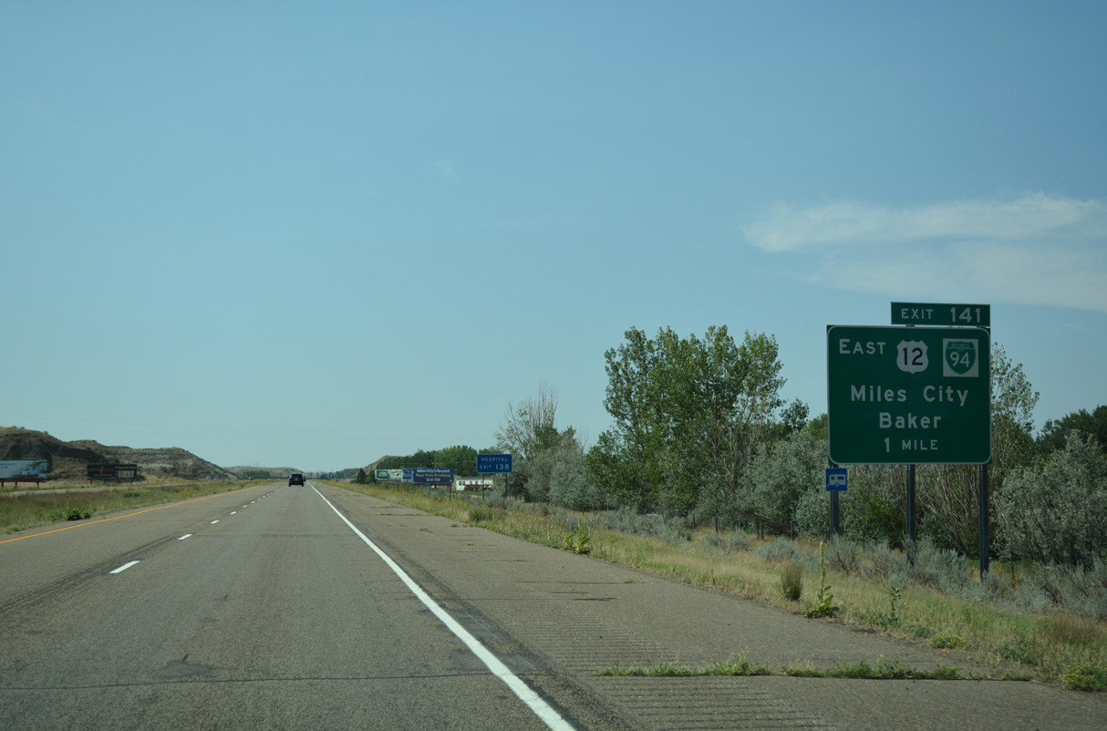
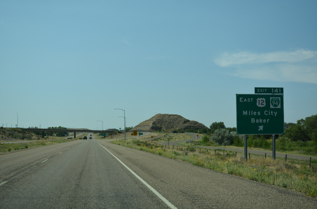
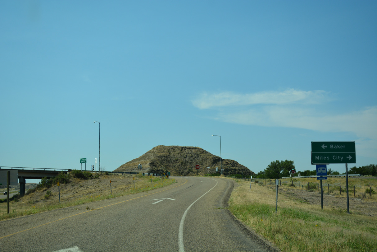
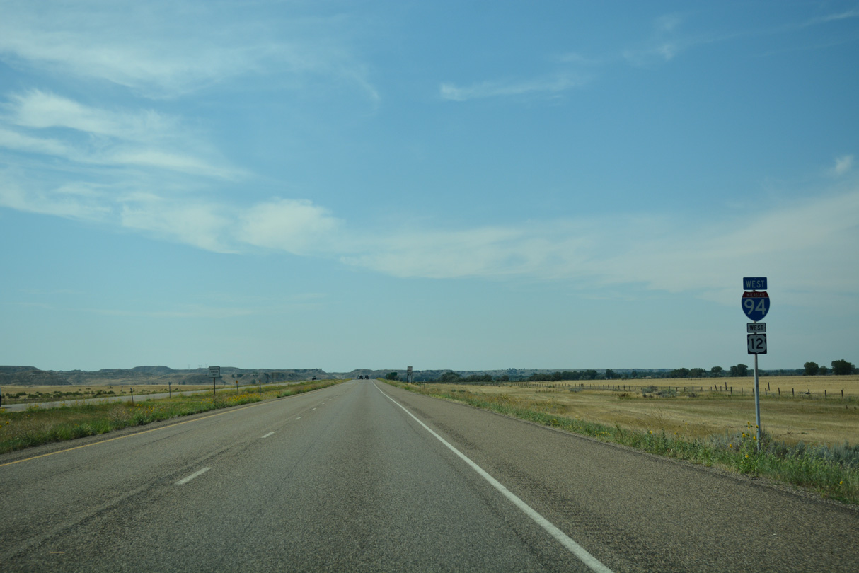
U.S. 12 converges with Interstate 94 at Exit 141 west from Baker and Plevna in Fallon County.
08/07/16
U.S. 12 combines with Interstate 94 west to bypass Miles City while Business Loop I-94 follows the previous route to the city center.
08/07/16
Measuring 6.35 miles in length, Business Loop I-94 returns to I-94/U.S. 12 at Exit 135. Downtown Miles City is 3.3 miles to the west.
08/07/16

Business Loop I-94 runs 1.53 miles west along Old U.S. 12 to overtake Old U.S. 10 along Valley Drive E.
08/07/16
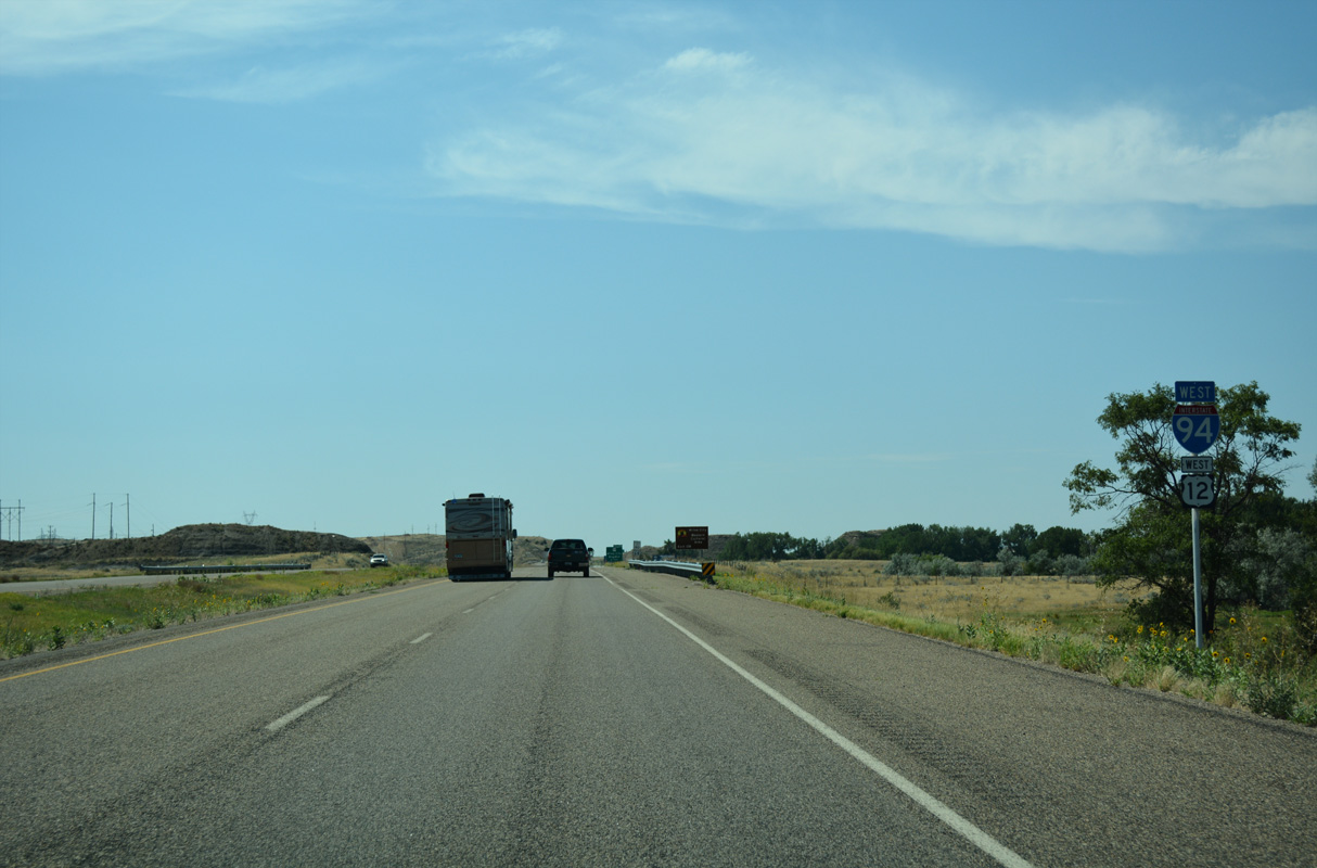
U.S. 12 overlaps with Interstate 94 west 47.76 miles to Forsyth.
08/07/16
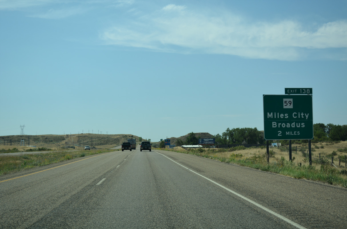
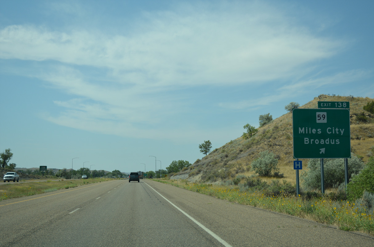
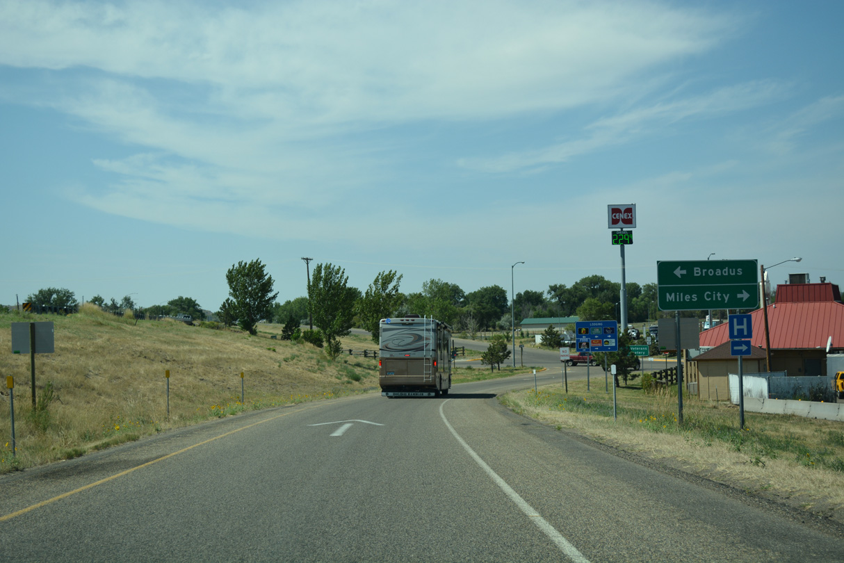
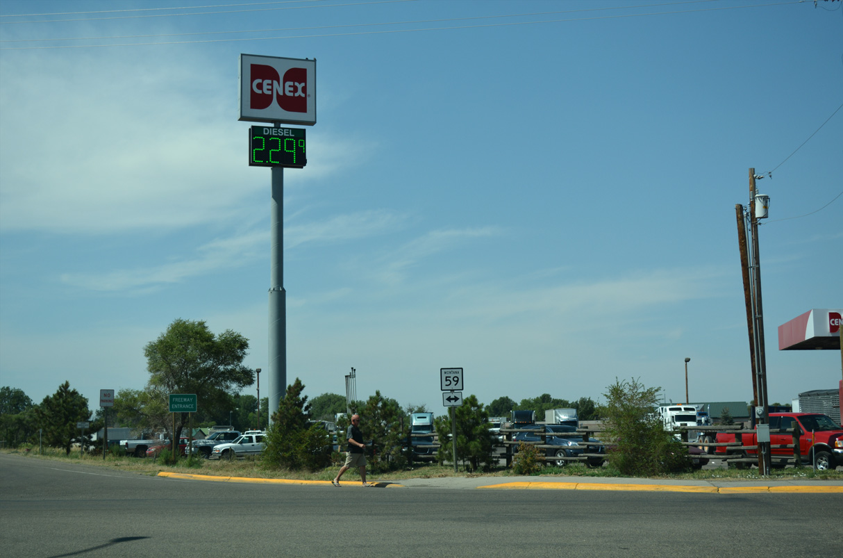
I-94/U.S. 12 straddle the bluffs rising to the east of Miles City southwest to Carbon Hill and Exit 138 with MT 59 (Haynes Avenue).
08/07/16

MT 59 is a 159.38 mile long highway joining Miles City with Jordan to the northwest and Broadus to the south. MT 59 is a multi state route with Wyoming Highway 59 south to Gillette.
08/07/16
MT 59 between Business Loop I-94 (Main Street) in Miles City and U.S. 212 near Broadus was historically U.S. 312 until 1979.
08/07/16
Construction finished in 2020 converted the exchange at Exit 138 into a dumbbell interchange.
08/07/16
MT 59 (Haynes Avenue) comprises a commercial boulevard north from Exit 138 to Main Street in Miles City.
08/07/16
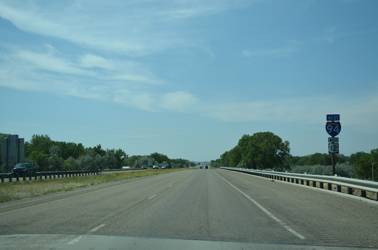
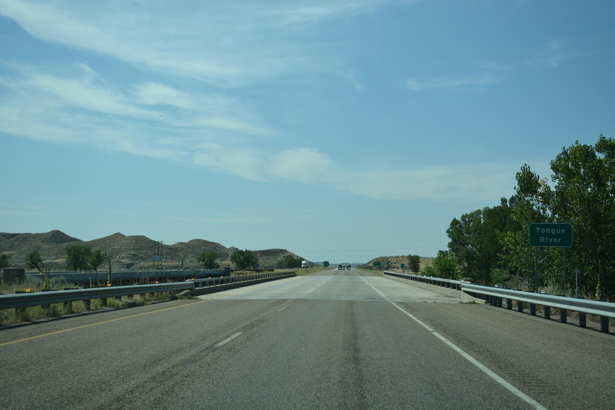
I-94/U.S. 12 advance southwest from the Miles City limits to cross the Tongue River.
08/07/16
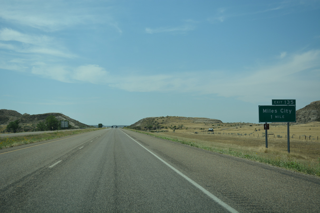
Business Loop I-94 returns to I-94/U.S. 12 south from Miles City at Exit 135.
08/07/16
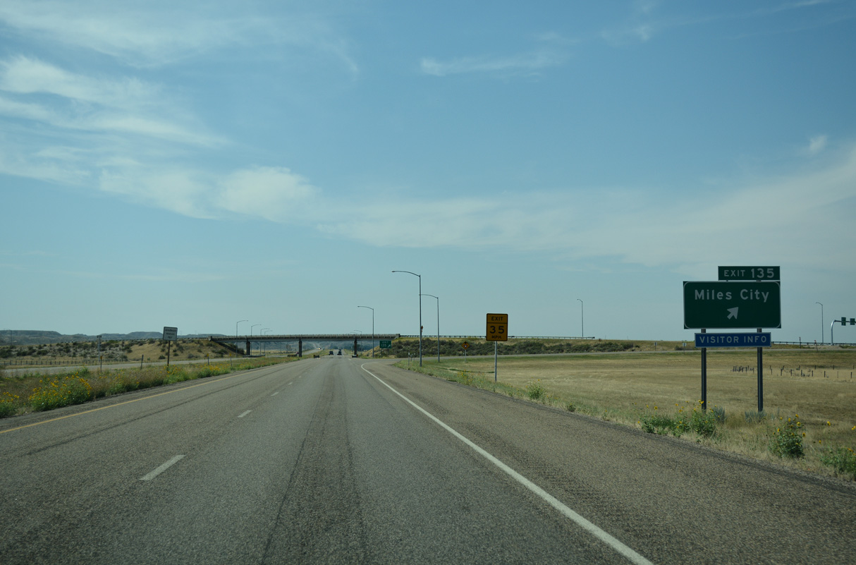
A trumpet interchange joins I-94/U.S. 12 with the west end of the Miles City business loop at Exit 135.
08/07/16
I-94/U.S. 12 head southwest from Miles City between farmland adjacent to the Yellowstone River and bluffs to the south.
08/07/16
Located 28 miles to the west, the unincorporated community of Rosebud is the next populated area along Interstate 94 beyond Miles City.
08/07/16
Traversing bluffs above the Yellowstone River along I-94/U.S. 12 west of Coal Creek and mile marker 132.
08/07/16
I-94/U.S. 12 west at Lignite Creek.
08/07/16
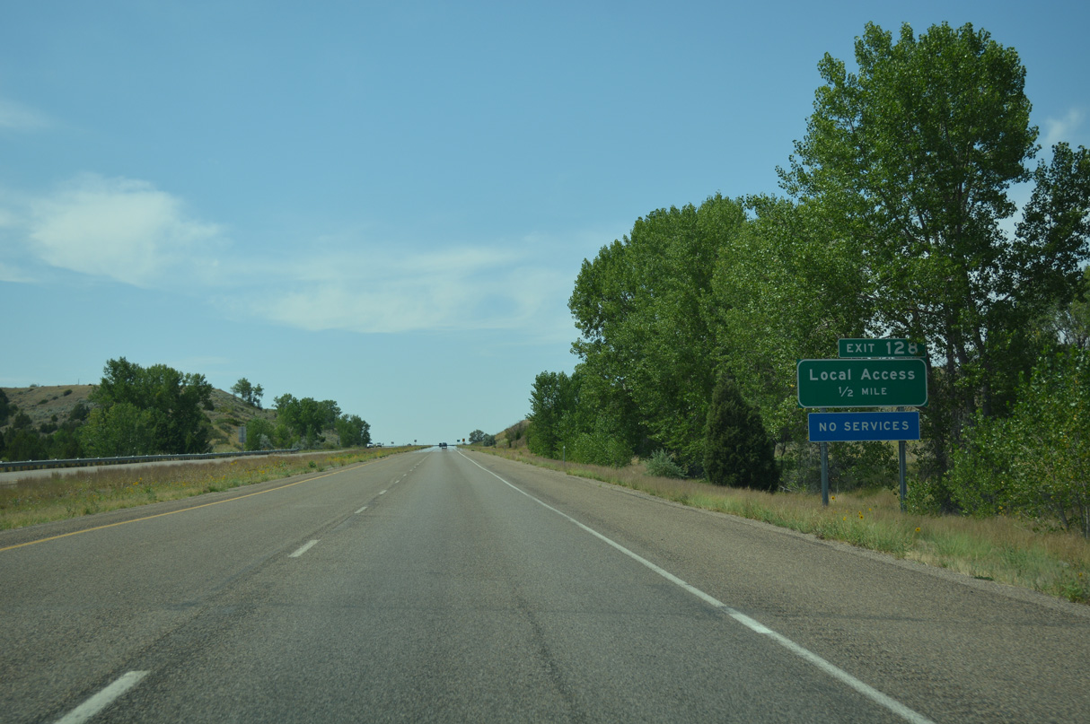
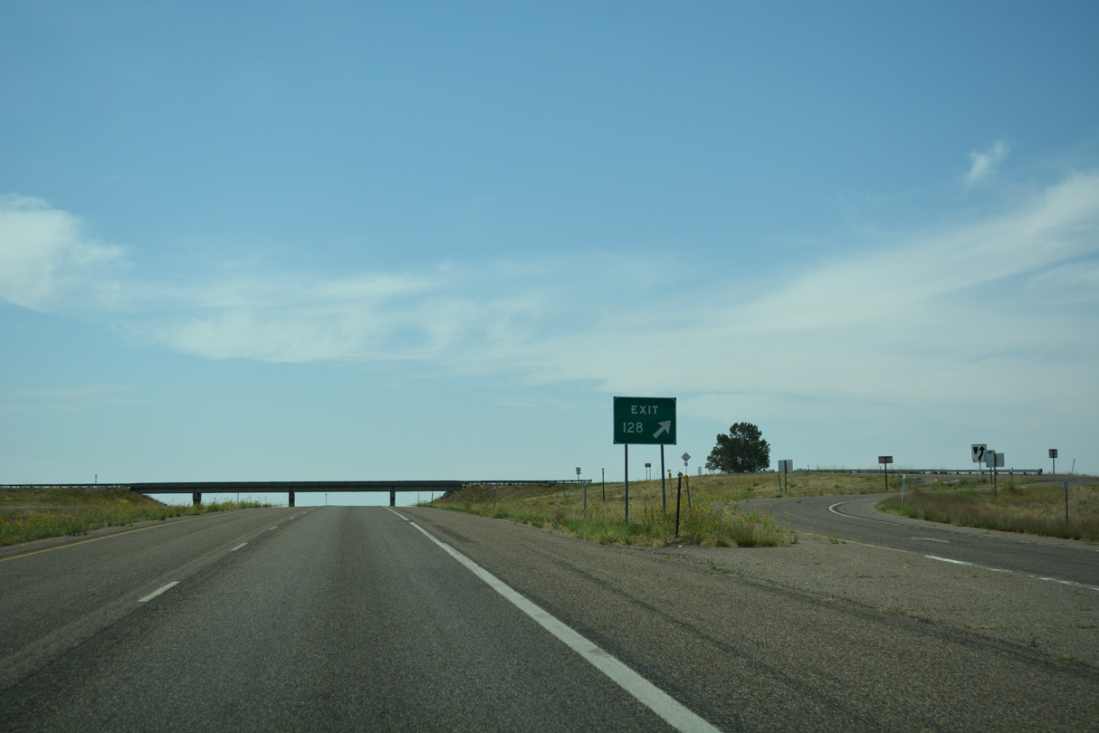
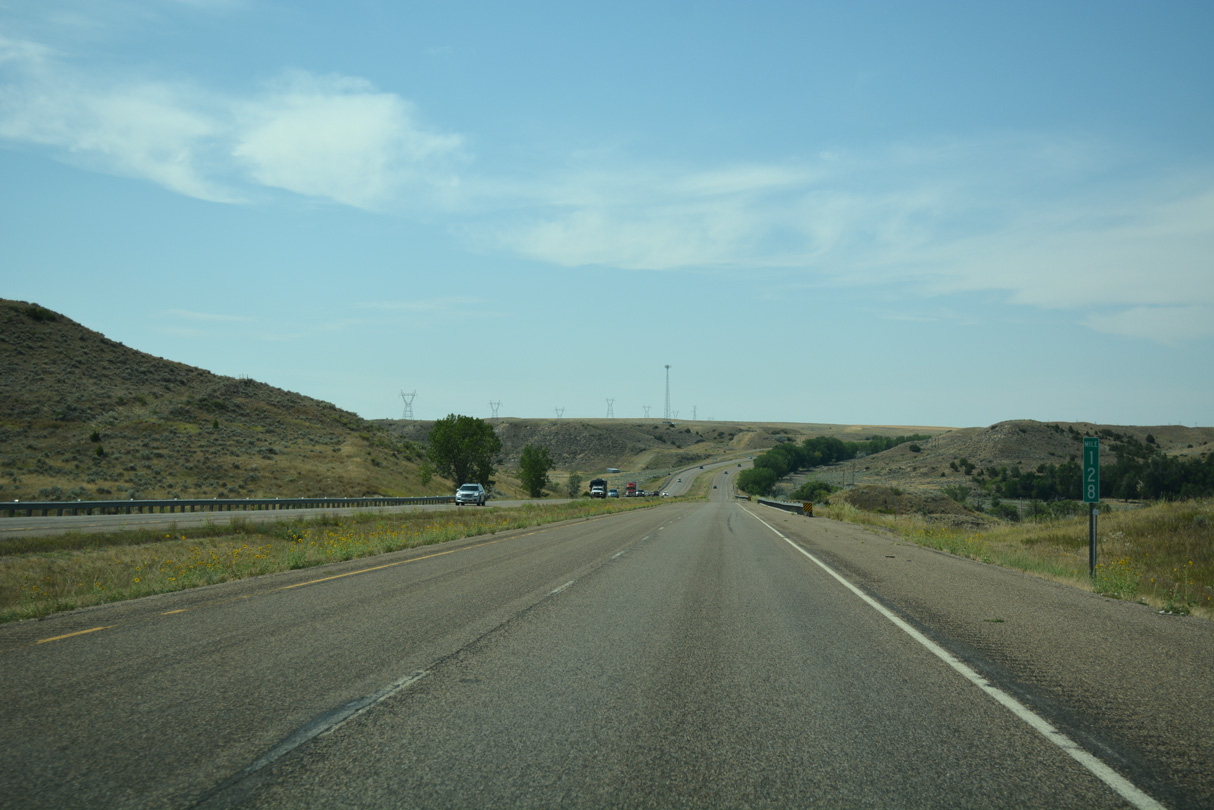
Forthcoming Exit 128 is a ranch exit with no services.
08/07/16
Right in right out (RIRO) ramps connect I-94/U.S. 12 westbound with adjacent Old U.S. 10/12/312 (Frontage Road).
08/07/16
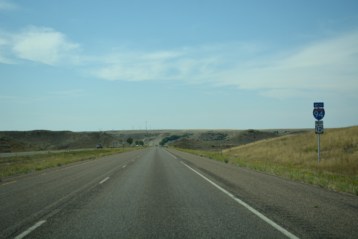
I-94/U.S. 12 west cross Moon Creek beyond mile marker 128.
08/07/16
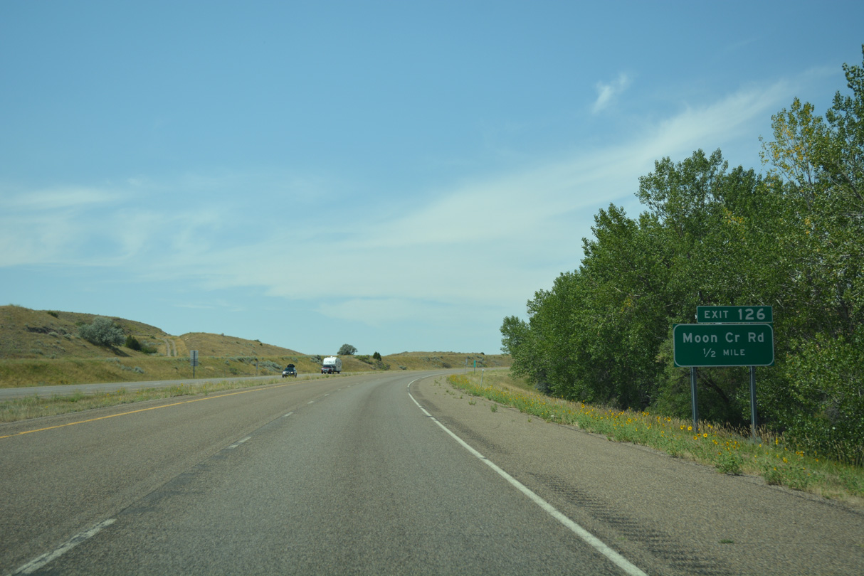
A diamond interchange joins I-94/U.S. 12 west with Moon Creek Road at Exit 126 between Road 616 and Old U.S. 10/12/312 (Radar Base Road).
08/07/16

Moon Creek Road leads 28.63 miles south across ranch land.
08/07/16

Photo Credits:
- ABRoads: 08/07/16
Page Updated Thursday January 22, 2026.