
Business Loop I-94 - Miles City

The BNSF Railway Main Street Overpass above Business Loop I-94/MT 59 in Miles City dates back to 1932. - 08/07/2016
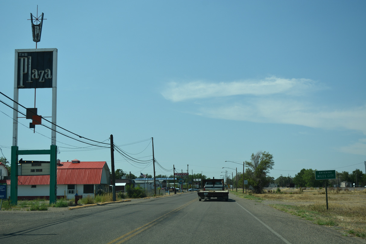
6.35 miles in length, Business Loop I-94 at Miles City follows the historic route of U.S. 10 and the pre-freeway alignment of U.S. 12. Heading north from I-94/U.S. 12 at Exit 135, the business route overtakes Old U.S. 10/12 at the intersection with Fort Keogh Truck Route and Fish Hatchery Drive. Curving east past the Eastern Montana Fairgrounds, Business Loop I-94 crosses the Tongue River into Miles City.
Main Street leads Business Loop I-94 east past Riverside Park to MT 59 at N 7th Street. MT 59 joins Main Street east to Haynes Avenue, overlapping with the business route for 0.43 miles to Valley Drive. Paralleling the BNSF Railroad, Valley Drive angles northeast 1.62 miles to old U.S. 12, which returns Business Loop I-94 east to I-94/U.S. 12 at Exit 141.

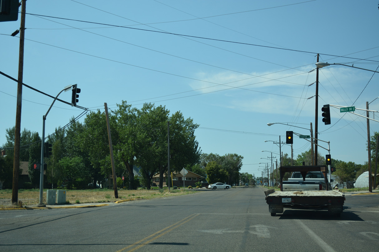
Emerging from below the BNSF Railway Main Street Overpass, Business Loop I-94 makes an unmarked turn from MT 59 (Main Street) northeast along Valley Drive.
08/07/16
Center Avenue north ties into the intersection of Main Street and Valley Drive. The continuation of Business Loop I-94 along Valley Drive is acknowledged here.
08/07/16
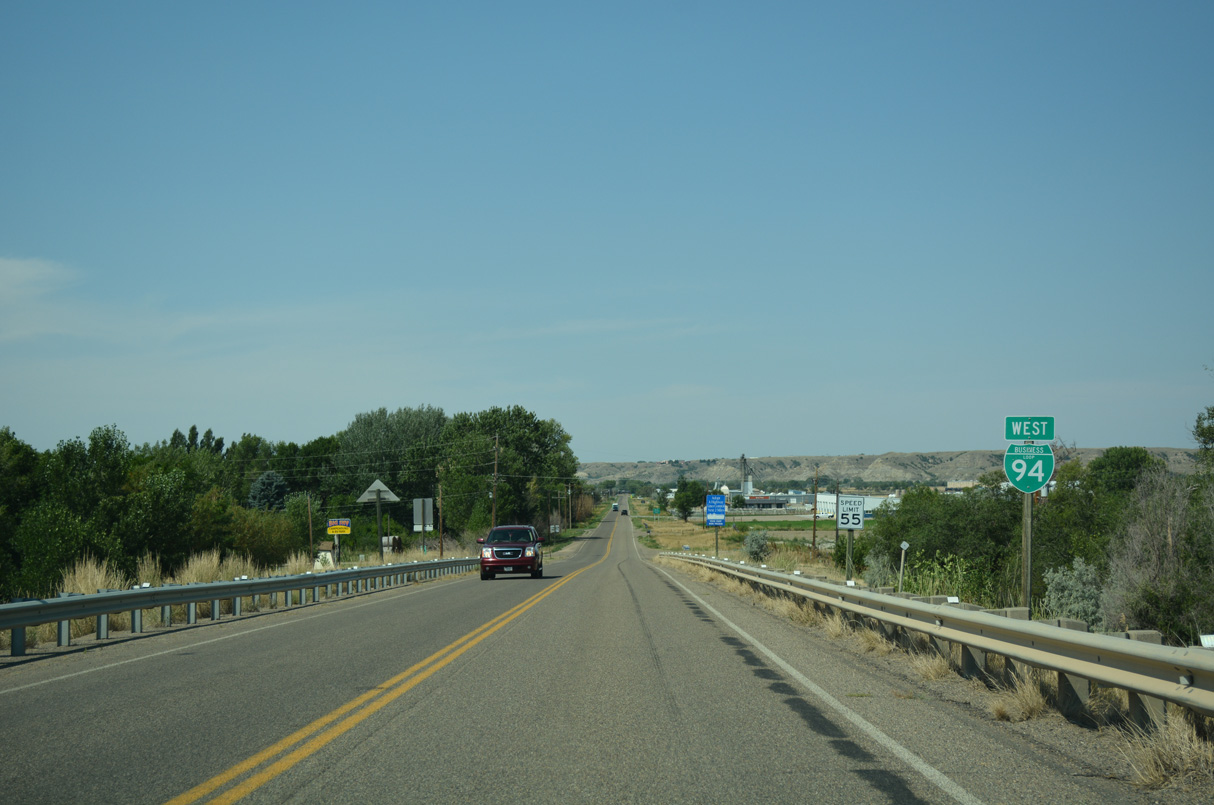
Business Loop I-94 bee lines west from the diamond interchange joining U.S. 12 with Interstate 94 at Exit 141.
08/07/16

A weigh station precedes the southward turn of Business Loop I-94 onto Valley Drive.
08/07/16
Valley Drive is the historic route of U.S. 10 northeast from Miles City to the BNSF Railroad siding of Tusler.
08/07/16

Business Loop I-94 (Valley Drive) westbound between old U.S. 12 and Haynes Avenue.
08/07/16
Business Loop I-94 (Valley Drive) enters the Miles City limits west just ahead of Sewell Avenue.
08/07/16
Leighton Boulevard is a minor arterial west from Valley Drive to Washington Street and east to Haynes Avenue.
08/07/16
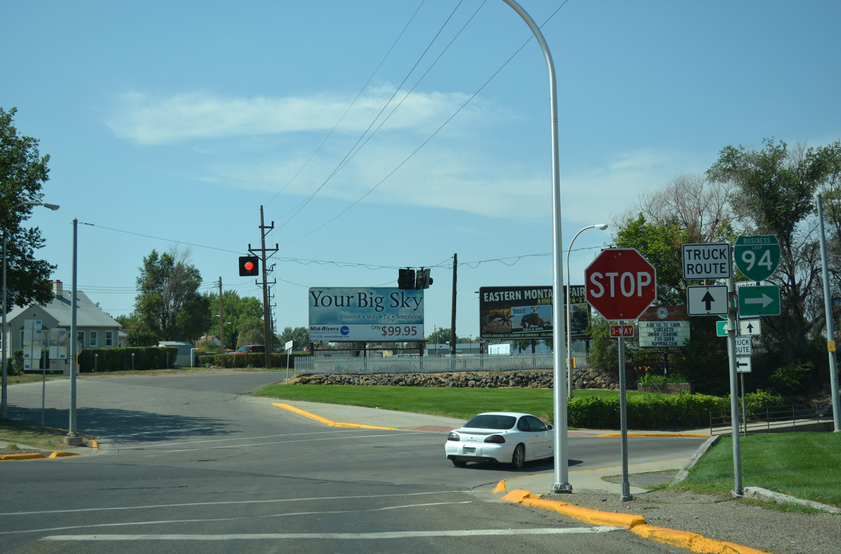
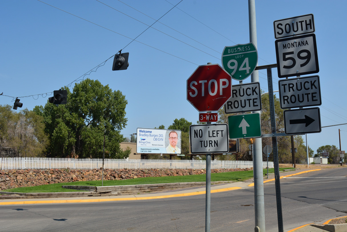
Business Loop I-94 combines with MT 59 along Main Street west at a three-way stop sign. MT 59 is not marked along Valley Drive leading into the intersection.
08/07/16
Business Loop I-94 and MT 59 overlap 0.43 miles west along Main Street into the Miles City center.
08/07/16
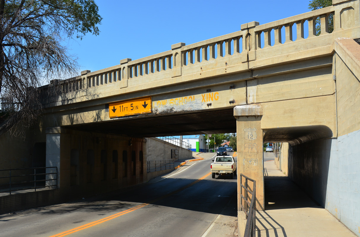
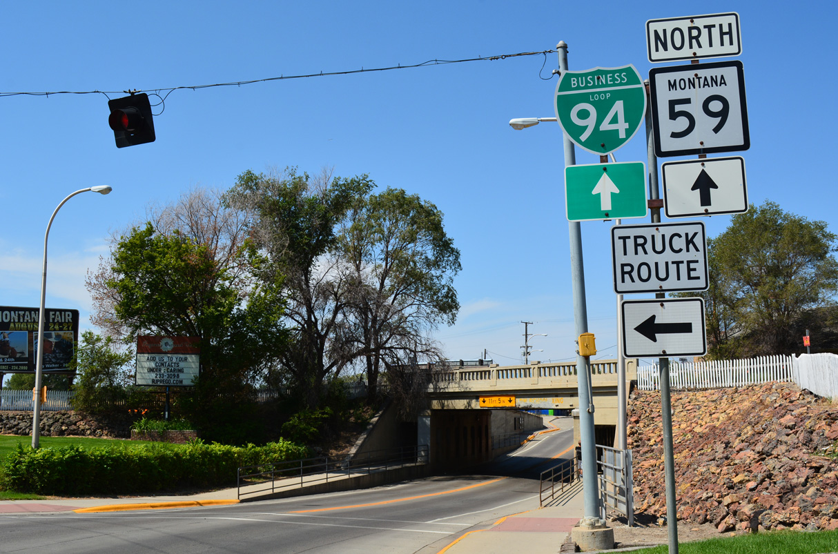
Main Street passes below the BNSF Railway west of Center Avenue and Valley Drive. The 53 foot long steel stringer bridge was built in 1932 (Baughn, 2021).
08/07/16
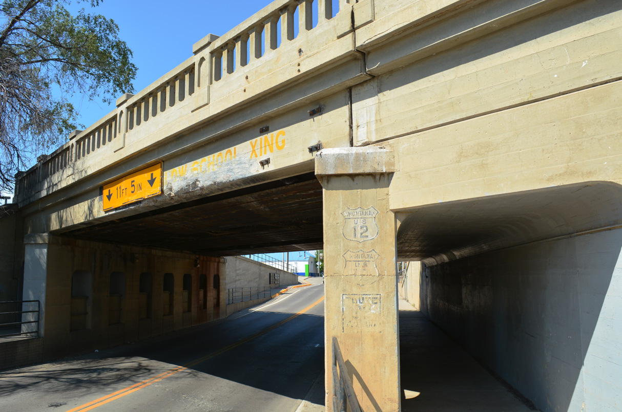
Painted route markers for the historic routes of U.S. 10/12 and State Highway 22 on the Main Street Overpass.
08/07/16
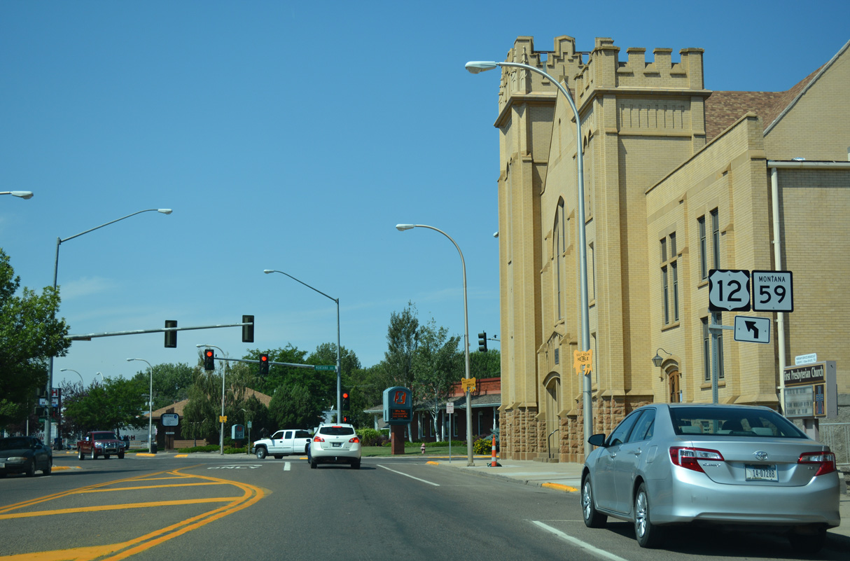
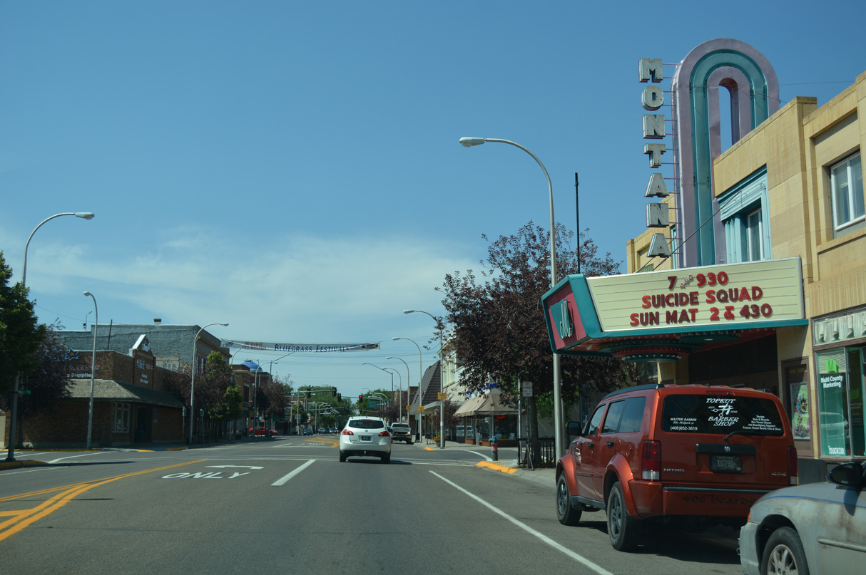
Shields for U.S. 12 remain posted along Business Loop I-94 west into Downtown Miles City. These trailblazers precede the southwestern turn of Main Street at Montana Avenue.
08/07/16
Montana Avenue stems 1.13 miles north from Main Street to Bender Park.
08/07/16

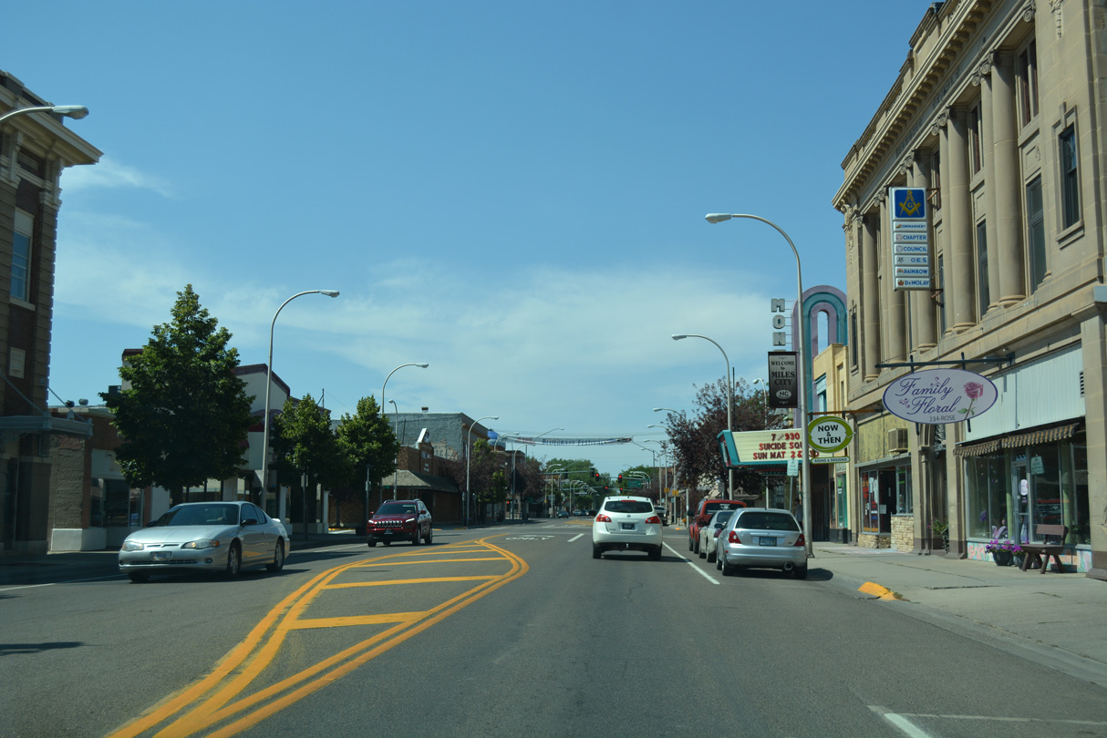
Main Street west at Tenth Street in Downtown Miles City.
08/07/16
Main Street west at Ninth Street in Downtown Miles City.
08/07/16

8th Street is a major collector angling southeast across the BNSF Railway to Montana Avenue at Stower Street.
08/07/16
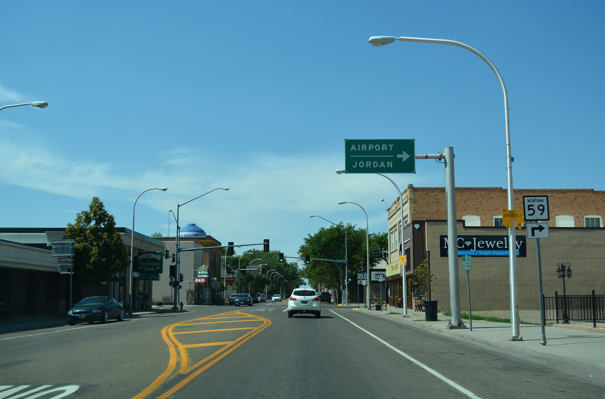
MT 59 branches north from Business Loop I-94 (Main Street) along 7th Street toward Miles City Airport (MLS).
08/07/16
MT 59 travels 82.63 miles northwest from Main Street to MT 200 near the Garfield County seat of Jordan.
08/07/16
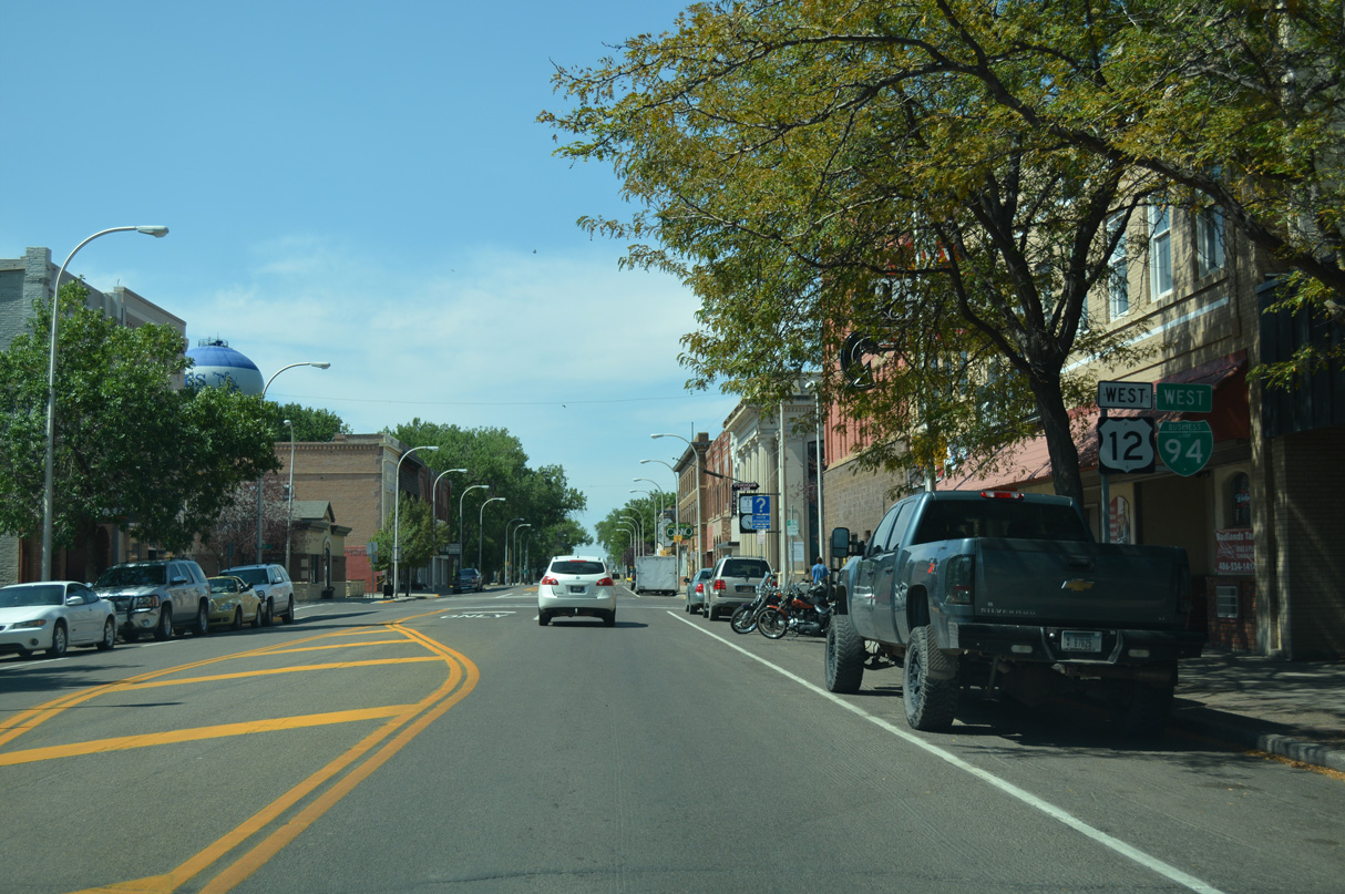
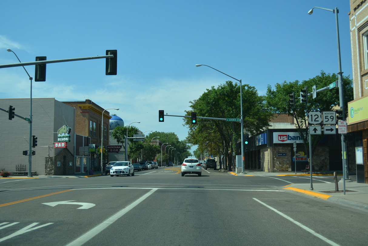
Business Loop I-94 confirming marker and a remaining shield for U.S. 12 posted west of the separation with MT 59 at 7th Street.
08/07/16
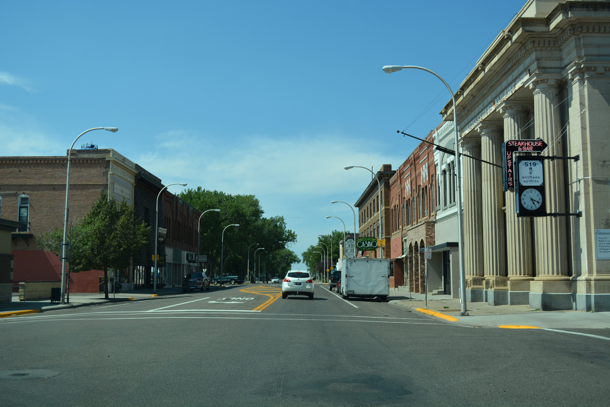
Main Street west at Sixth Street in Downtown Miles City.
08/07/16
Business Loop I-94 (Main Street) runs between Riverside Park and Cook Lake ahead of the Tongue River.
08/07/16

Crossing the Tongue River, Business Loop I-94 west reenters unincorporated Custer County.
08/07/16

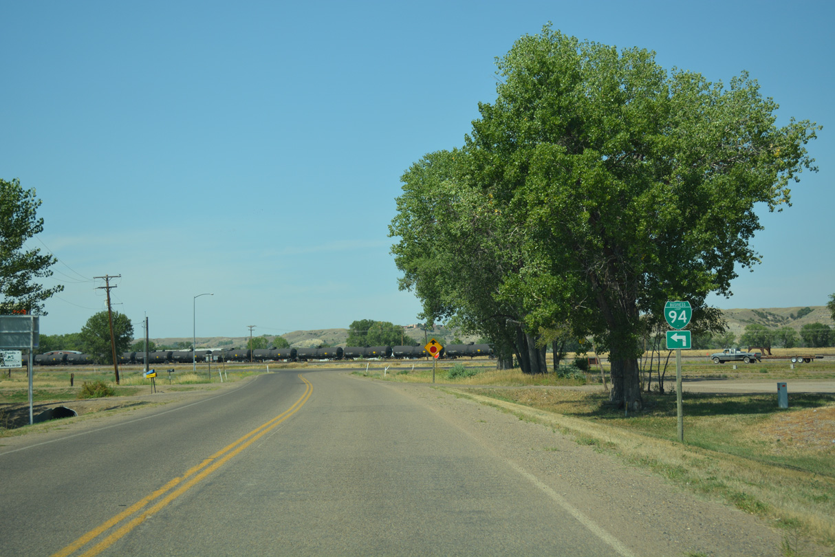
Business Loop I-94 turns south at Old Fort Keough Road.
08/07/16

The historic alignment of U.S. 10/12 branches southwest from Business Loop I-94 ahead of the trumpet interchange (Exit 135) with Interstate 94 at the west end of the route.
08/07/16

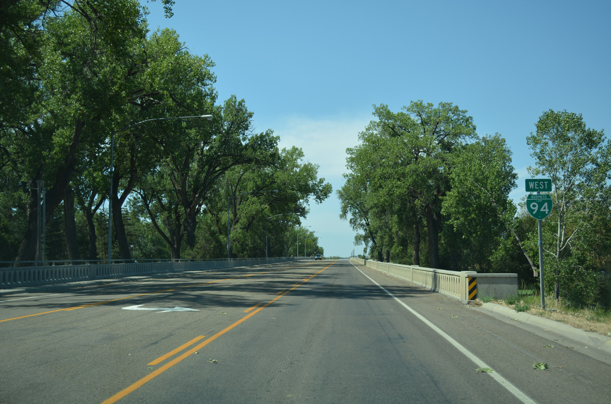
West from Miles City, I-94/U.S. 12 overlap west to Forsyth.
08/07/16

I-94/U.S. 12 continue around Mile City 5.6 miles to the northeast. I-94 travels northeast from there to Terry and Glendive.
08/07/16
References:
Baughn, J. (2021, December 3). BNSF - Main Street Overpass. Bridgehunter.com. Retrieved from https://web.archive.org/web/20211203215538/http://bridgehunter.com/mt/custer/bh65750/.
Photo Credits:
- ABRoads: 08/07/16
Connect with:
Page Updated Thursday January 22, 2026.