
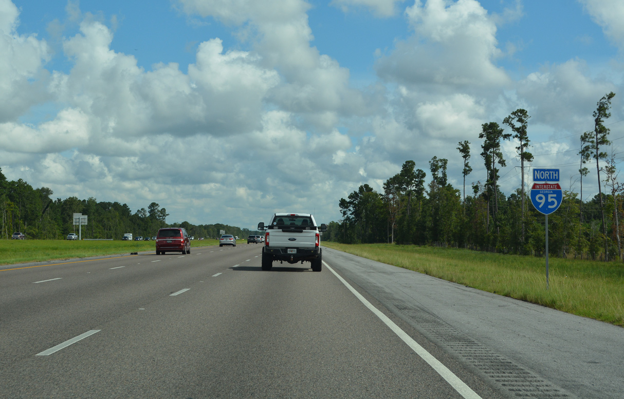
Interstate 95 North - Darien to Richmond Hill
Richmond Hill was founded in 1962, though its origins date from before the Civil War as Ways Station. Ways Station later became home to Henry Ford's winter retreat, and the automobile pioneer invested heavily in the area, partaking in the construction of over 272 buildings. By 1941 the town was renamed Richmond Hill after Ford's estate.1
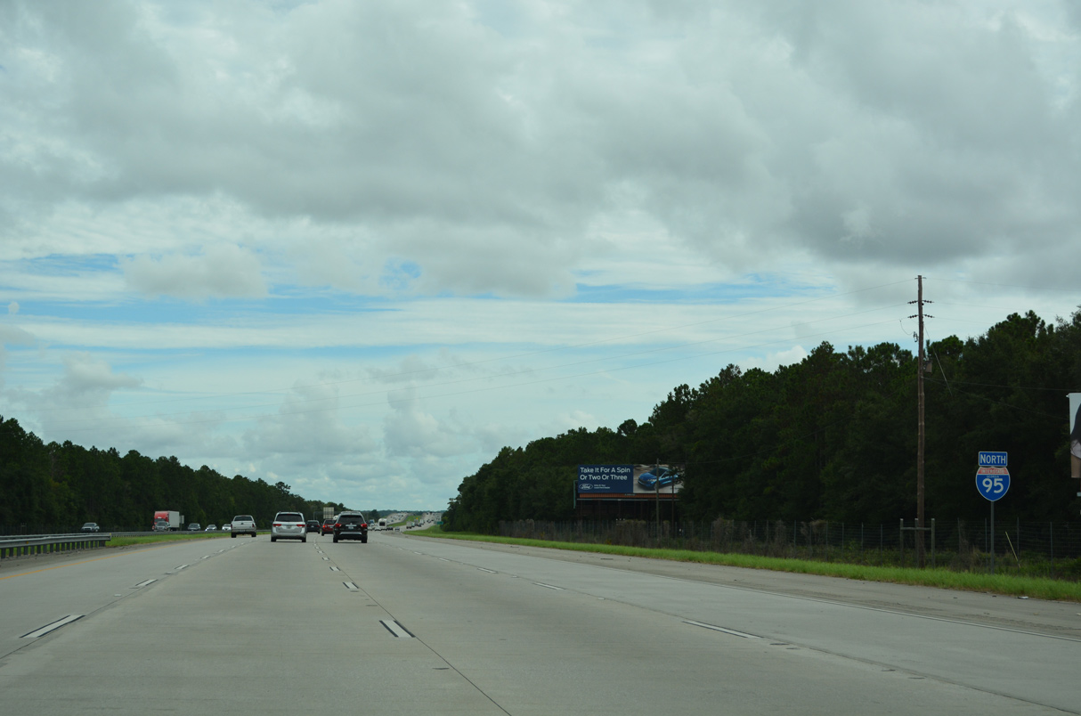
Interstate 95 continues north with eight overall lanes to Exit 49.
08/14/21

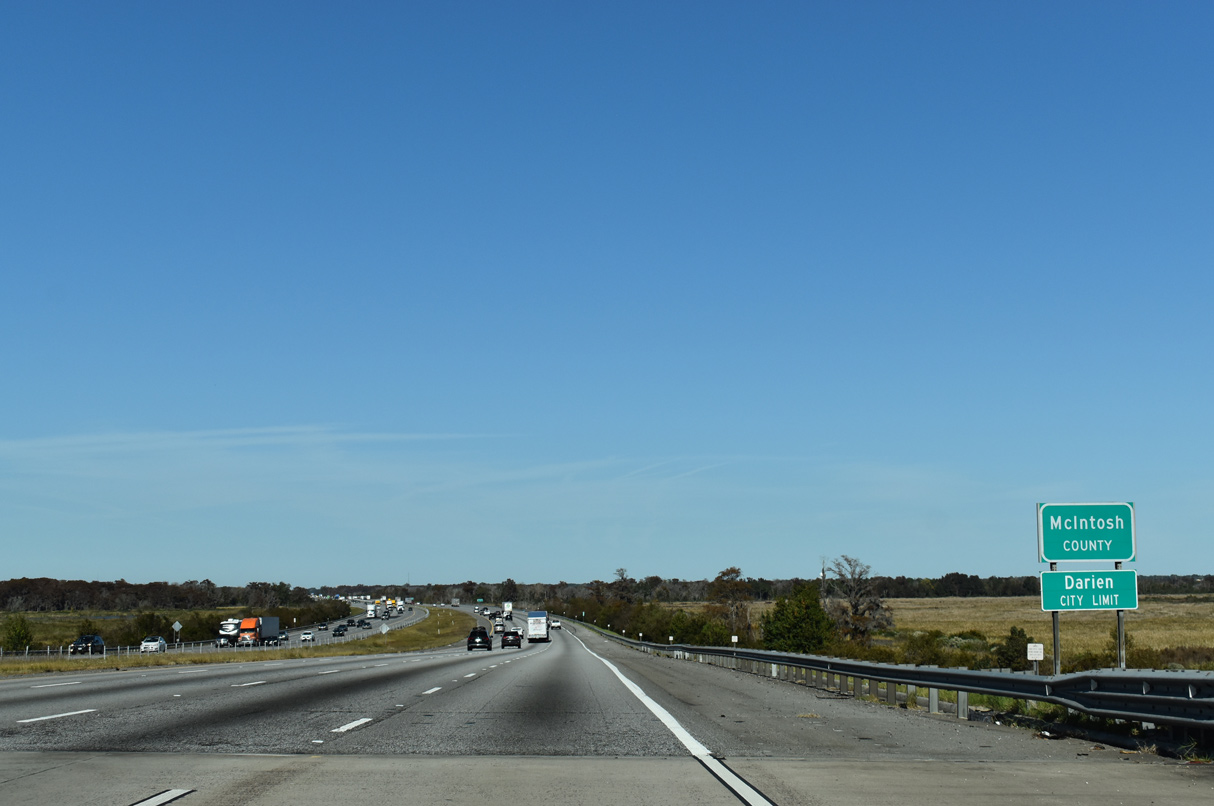
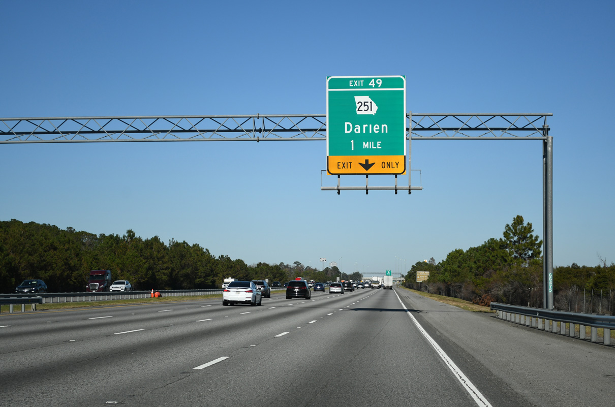
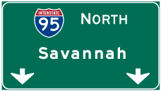
Darien, seat of McIntosh County, is eight miles ahead via SR 251 south. Savannah is an hour away.
11/19/21

Spanning the Altamaha River, Interstate 95 enters the Altamaha Wildlife Management Area.
11/19/21
The Altamaha separates Glynn and McIntosh Counties across Interstate 95 north at Darien.
11/19/21
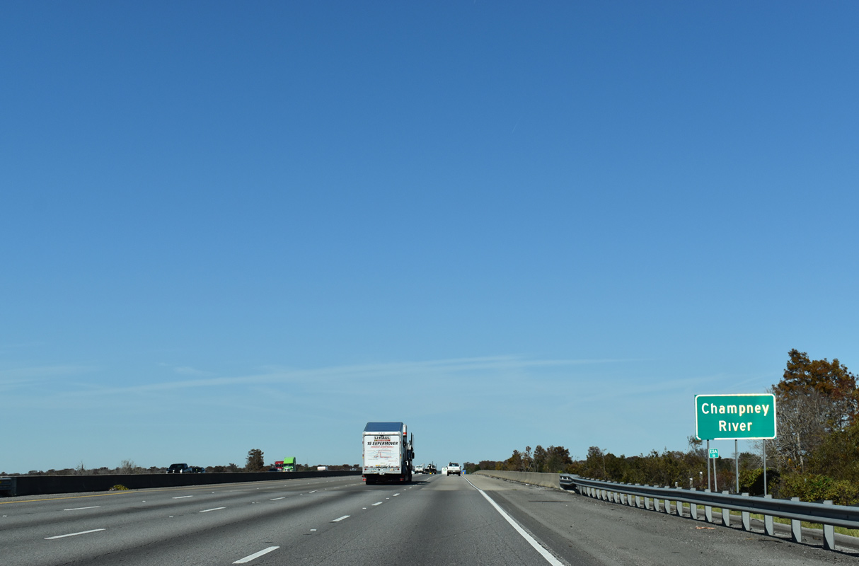
Interstate 95 ascends over the Champney River from Champney Island north onto Butler Island.
11/19/21
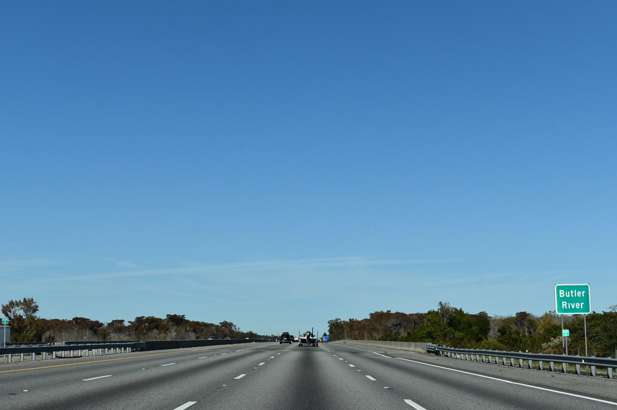
Crossing the Butler River, Interstate 95 continues onto Generals Island.
11/19/21
The lone exit in McIntosh County along I-95 is the diamond interchange with SR 251.
12/20/24

SR 251 commences a 13.48 mile long route to SR 57 at Townsend from U.S. 17/SR 25 at Darien. U.S. 17 to SR 99 leads to Fort King George Historic Site and the Sapelo Island Visitors Center.
12/20/24
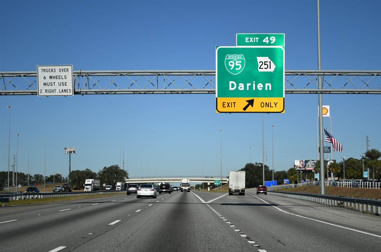
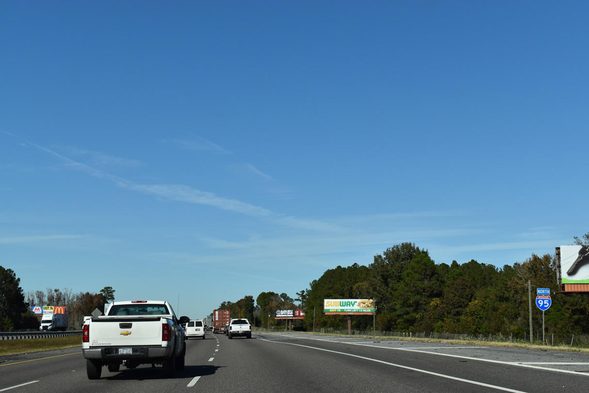
Exit 49 represents the historic north end of Business Loop I-95 from Darien. Reconstruction of the exchange at SR 251 between September 29, 2014 and April 30, 2017 included installation of a sign bridge recognizing the former business route.2
12/20/24
GDOT recorded 52,200 vehicles per day (vpd) along Interstate 95 north of Darien in 2016 and 55,400 vpd in 2019.
08/14/21
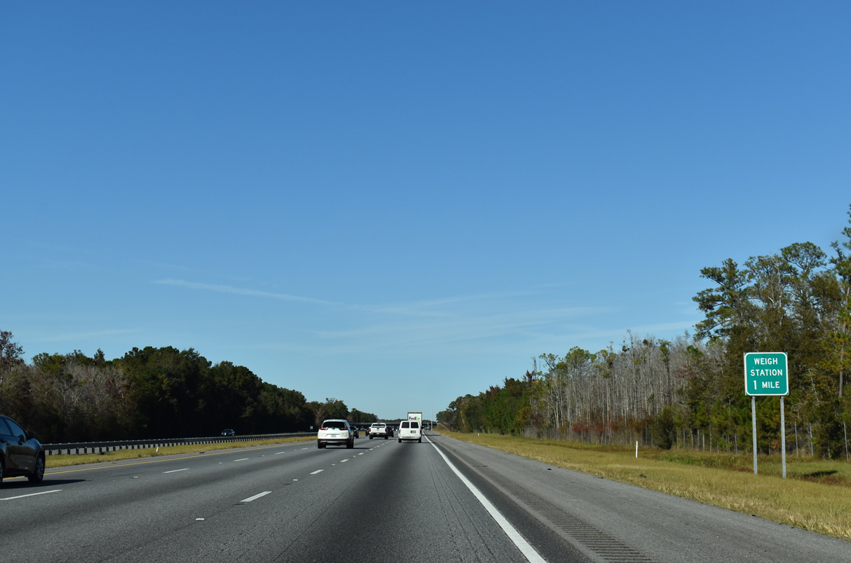
The nine mile stretch between Darien and Eulonia includes a truck weigh station for commercial vehicles.
11/19/21
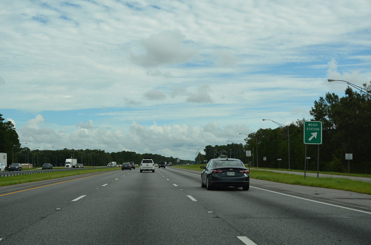
The weigh station near Ardoch and Kidd Island is the only facility along Interstate 95 northbound in Georgia.
12/20/24
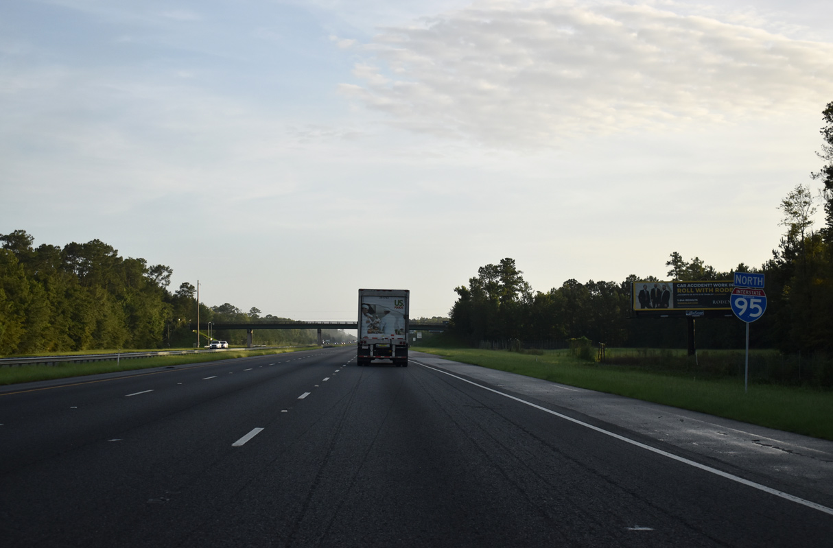
Leaving the truck scales, this reassurance marker for I-95 north precedes the Church Hill Road overpass.
07/10/24
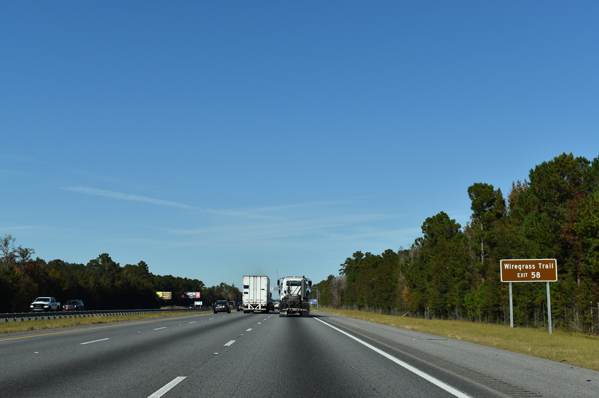
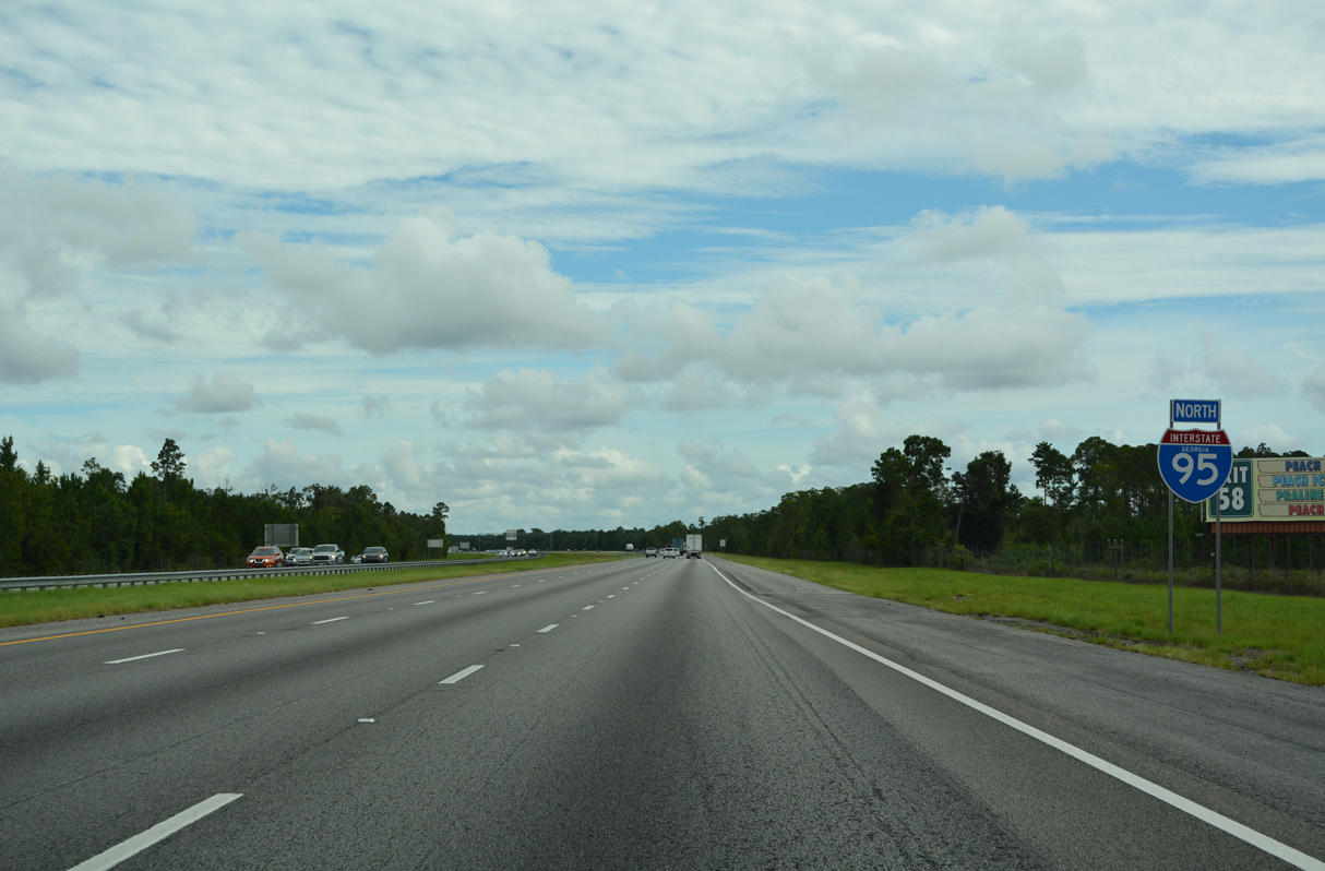
U.S. 84, a cross state route from Midway west to Safford, is the Wiregrass Trail. The name reflects the Wiregrass Region, which U.S. 84 traverses from South Georgia into Lower Alabama. Providing a cutoff to U.S. 84 west from I-95 north, SR 57 leads 23 miles northwest from forthcoming Exit 58.
11/19/21
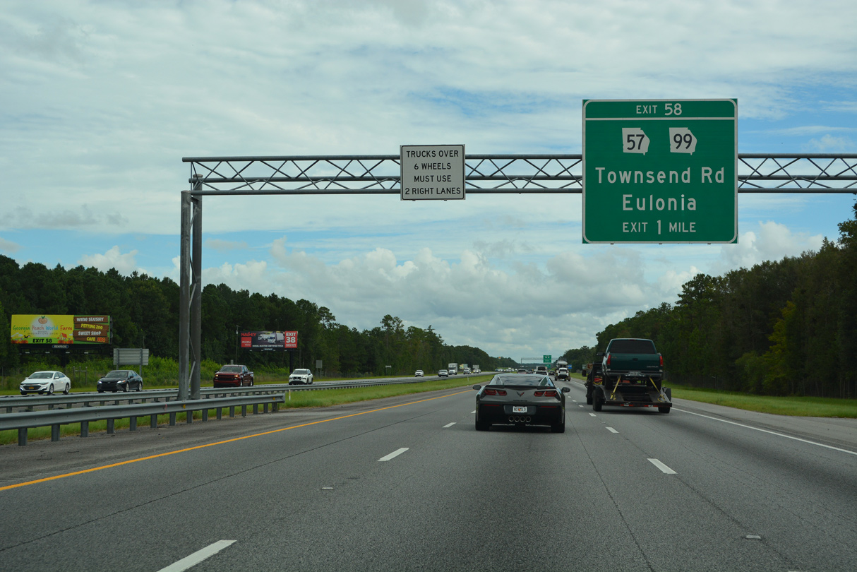
One mile south of the diamond interchange (Exit 58) with SR 57 (Townsend Road) on I-95 north.
08/14/21
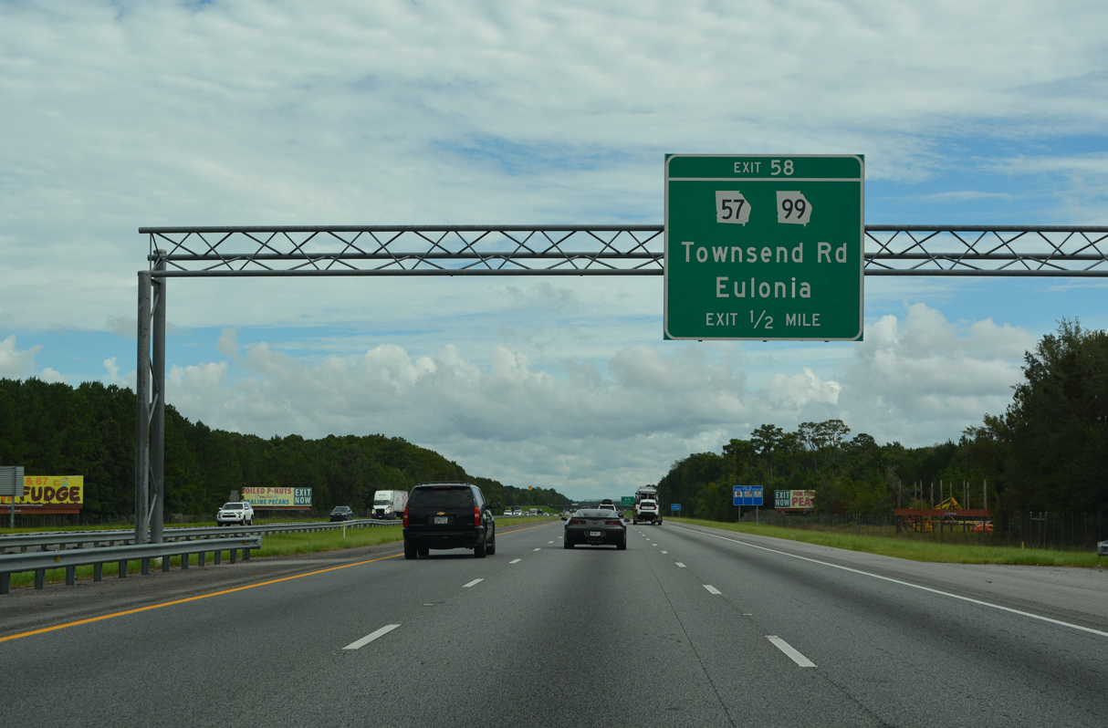
SR 57 comprises a 177.65 mile long highway northwest from I-95/SR 99 at Exit 58 to U.S. 25, U.S. 84 and U.S. 301 at Ludowici and Macon. SR 99 runs east from I-95 to U.S. 17/SR 25 near Eulonia en route to Crescent.
08/14/21

Exit 58 departs I-95 north for SR 57 north and SR 99 south. SR 99 loops 17.12 miles east to Crescent and south to Meridian and U.S. 17/SR 25 at Darien.
08/14/21
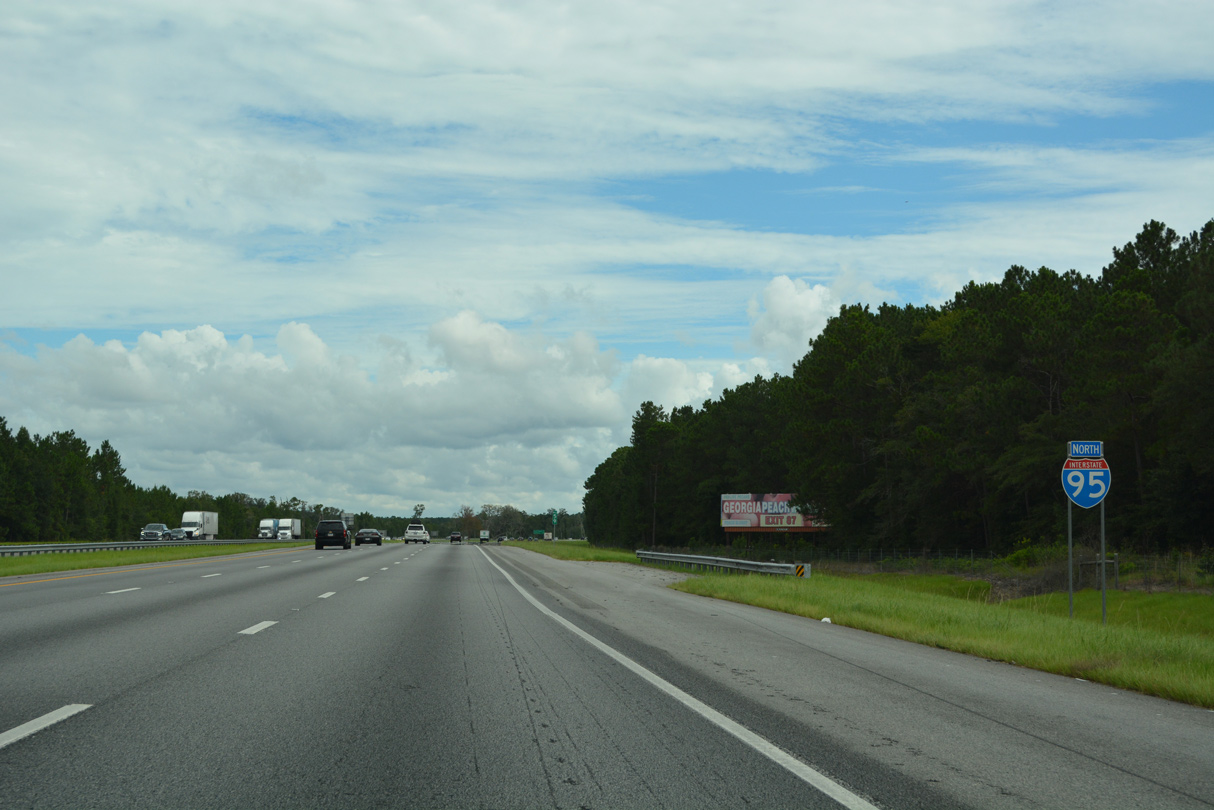
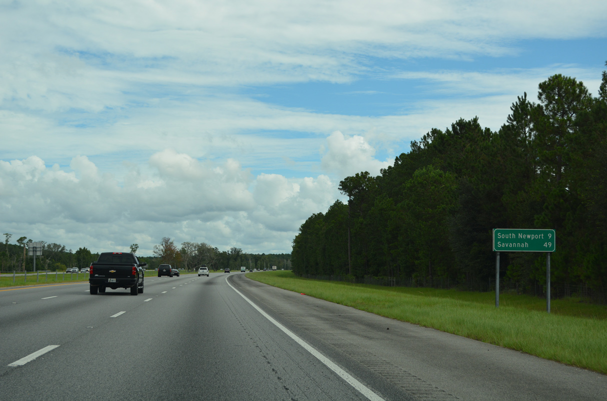
Curving more easterly from Eulonia, Interstate 95 proceeds nine miles to South Newport and 40 miles to I-16 for Savannah.
08/14/21
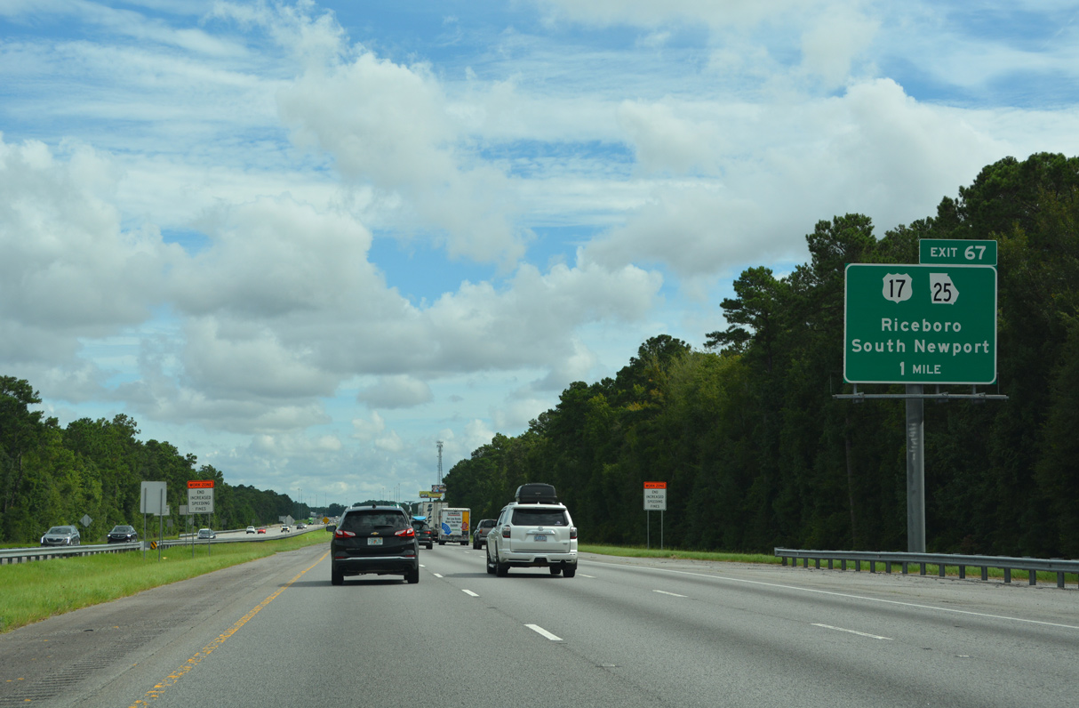
U.S. 17/SR 25 and Interstate 95 meet again at Exit 67 in southern Liberty County.
08/14/21
Reaching west to encompass portions of Fort Stewart, Liberty County is one of two Georgia counties that stretch well inland from the Atlantic Ocean.
11/19/21
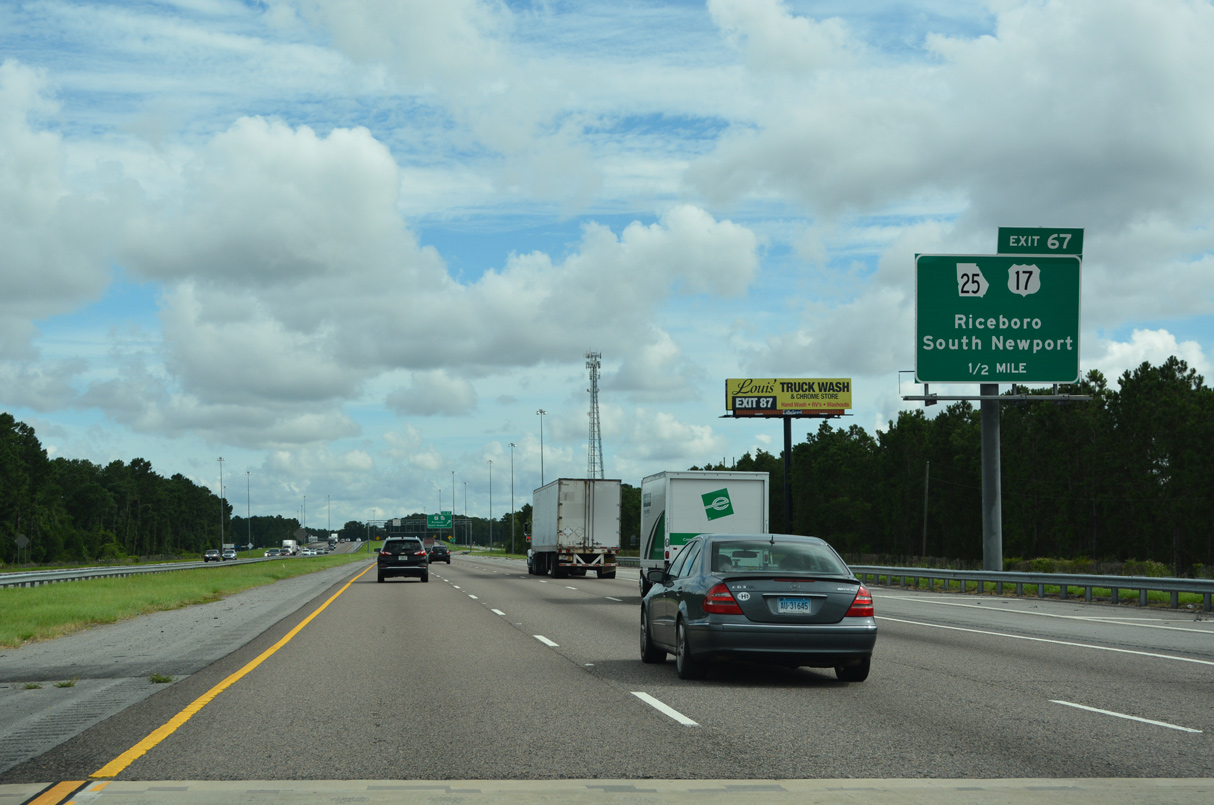
U.S. 17/SR 25 (Coastal Highway) head south from Exit 67 into South Newport and northwest to Retreat, Riceboro and Midway.
08/14/21
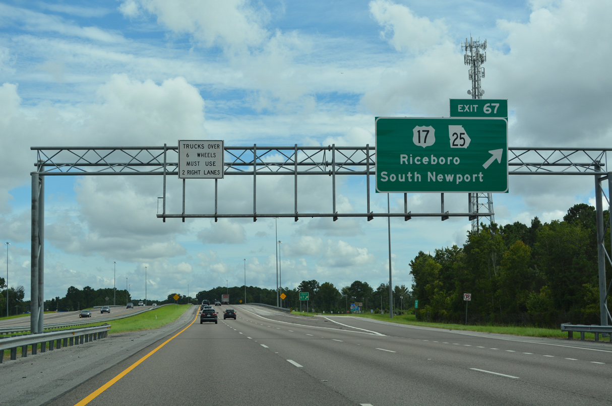
Displaying U.S. 17 and Coastal Highway, older guide signs for Exit 67 omitted SR 25, the counterpart of U.S. 17 north from Florida to Savannah. Sign replacements made in 2021 added Riceboro.
08/14/21
41,870 vehicles per day (vpd) were recorded along Interstate 95 through southern Liberty County in 2012. The AADT in 2019 was 54,200 vpd.
11/19/21
Continuing on I-95 from South Newport, the city of Midway is ten miles to the northwest at the cross roads of U.S. 17/84.
08/14/21
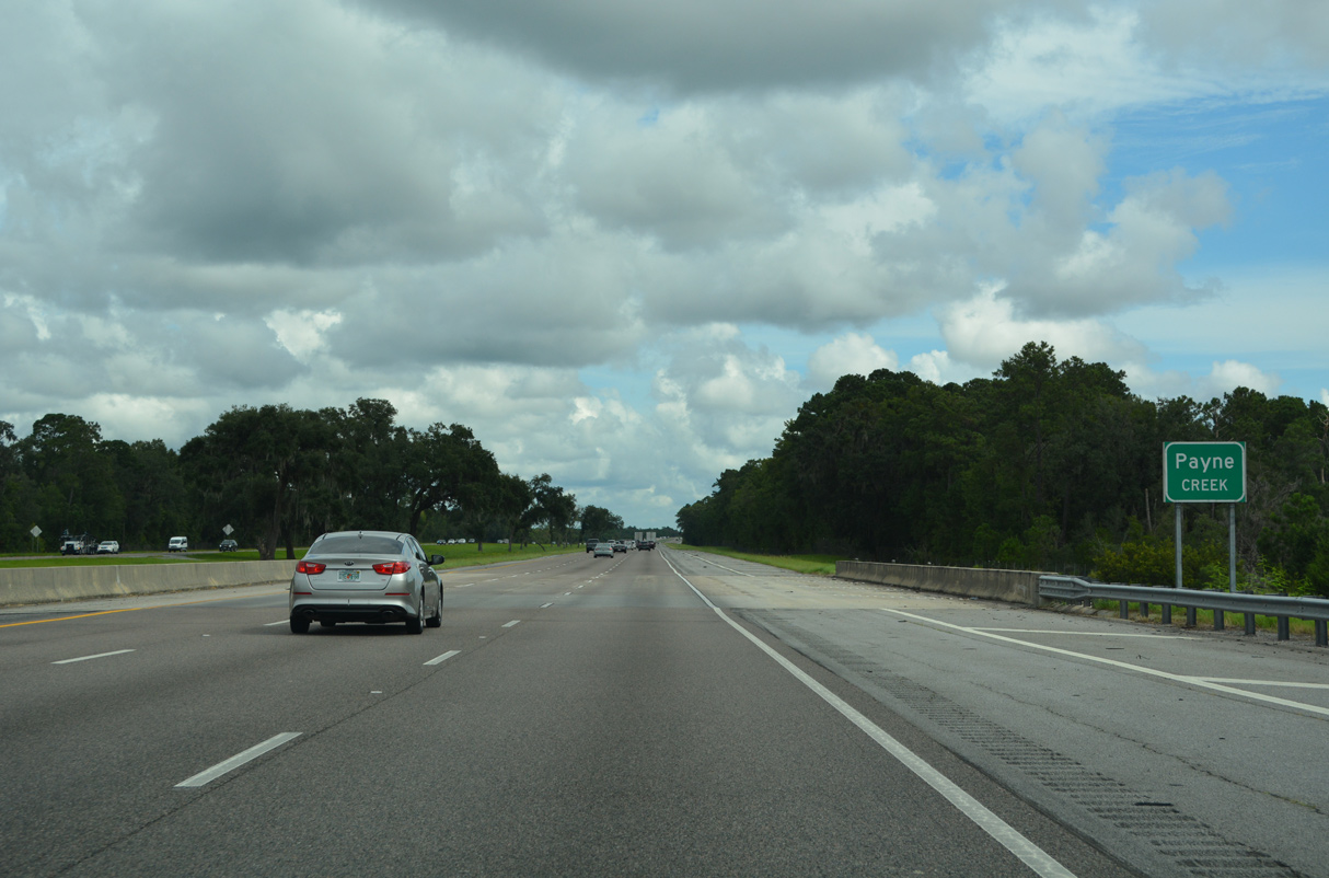
Interstate 95 remains through woodland and marshy areas throughout most of Liberty County. The six lane freeway spans Payne Creek in this scene.
08/14/21
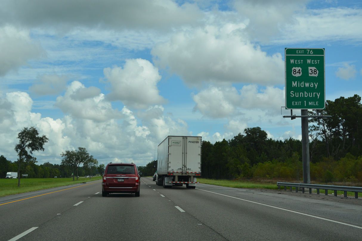
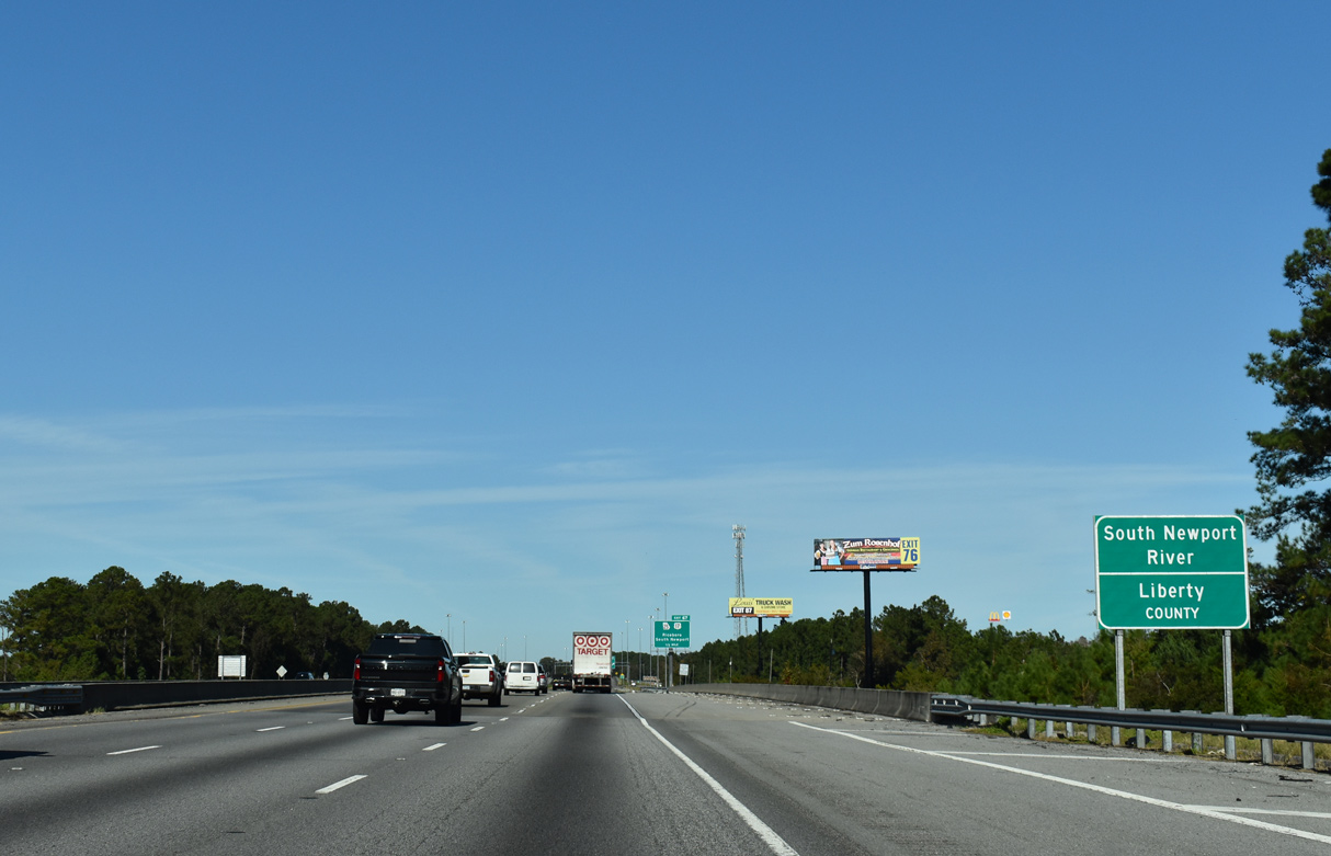
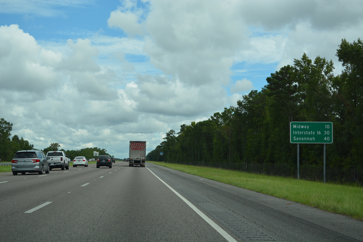
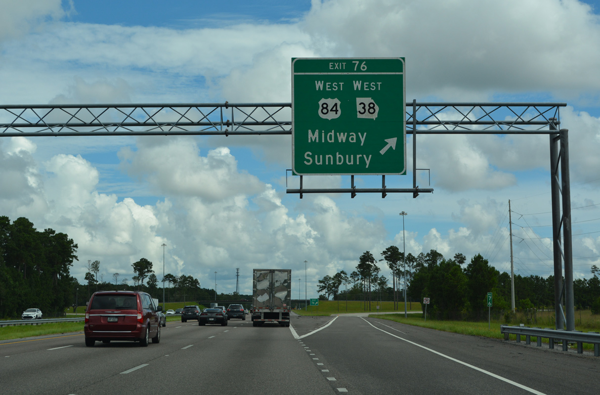
U.S. 84/SR 38 traverse the southern tier of Georgia from Bainbridge to Thomasville, Valdosta, Jesup and Hinesville. Both conclude at Exit 76 east of Midway.
12/20/24
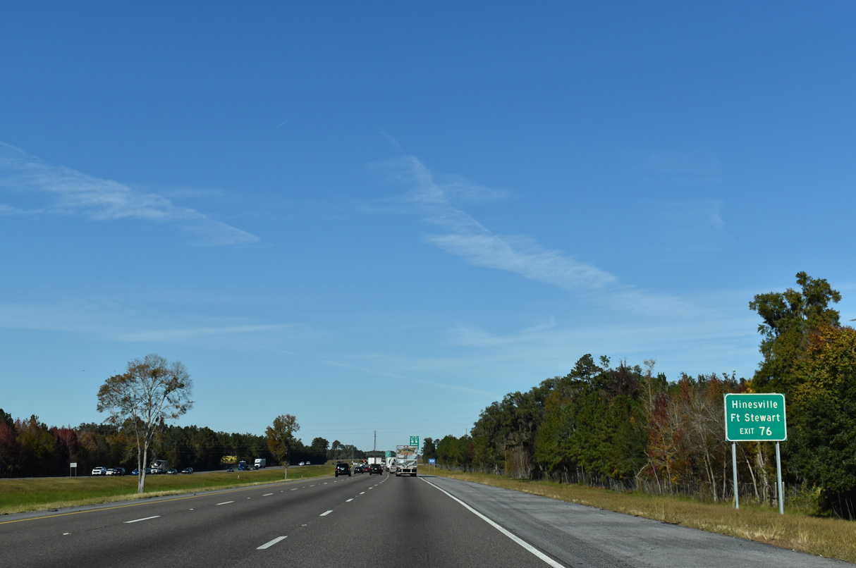
U.S. 84/SR 38 constitute a four lane hghway west 14 miles to the Liberty County seat of Hinesville at Fort Stewart.
11/19/21
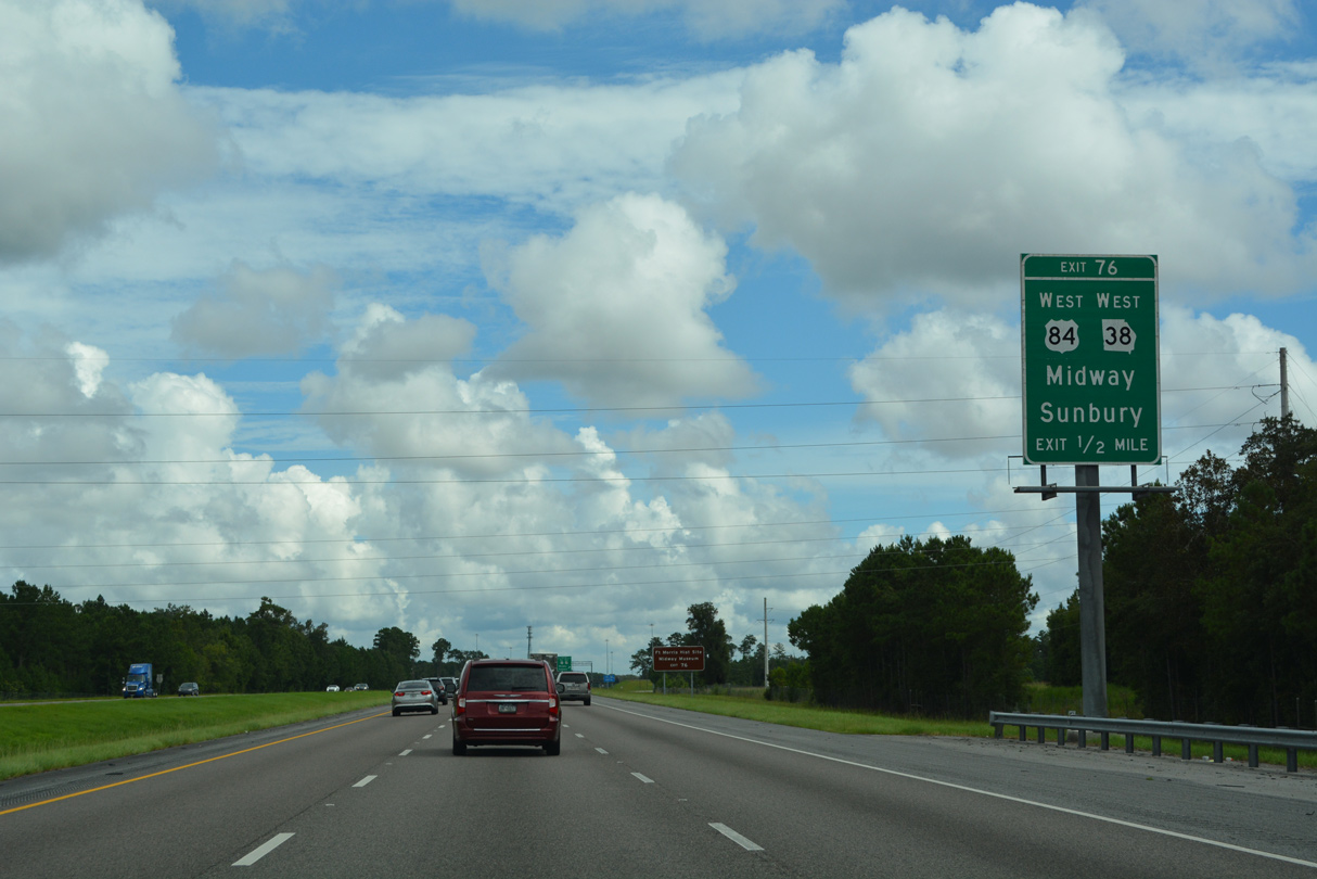
U.S. 84/SR 38 (Oglethorpe Highway) run 3.7 miles west from the diamond interchange at Exit 76 to U.S. 17/SR 25 at Midway. Islands Highway, and Sunbury Road nearby, spur east from I-95 to Seabrook, Sunbury and the Ft. Morris Historic Site.
12/20/24
U.S. 84 stretches 1,919 miles west from coastal Georgia to Pagosa Springs, Colorado. U.S. 84 southwest from I-95 to Waycross was part of U.S. 82 until 1988, when it switched alignments with U.S. 84 east to Brunswick. The swap was made to simplify both routes.
12/20/24
Continuing to Jones Creek and the Isle of Wight along Interstate 95 north.
08/14/21
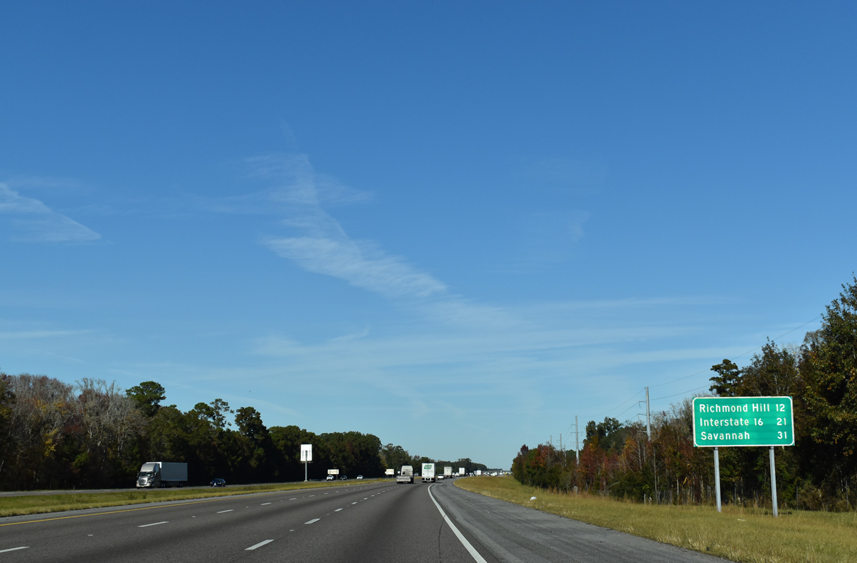
Richmond Hill and the Savannah metropolitan area are 12 miles to the north along I-95. Interstate 16, which provides a direct route into Savannah, follows in 21 miles.
11/19/21
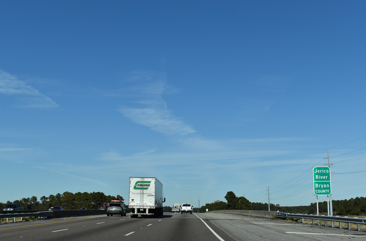
Another series of bridges take Interstate 95 over the Jerico River and associated wetlands into Bryan County.
11/19/21
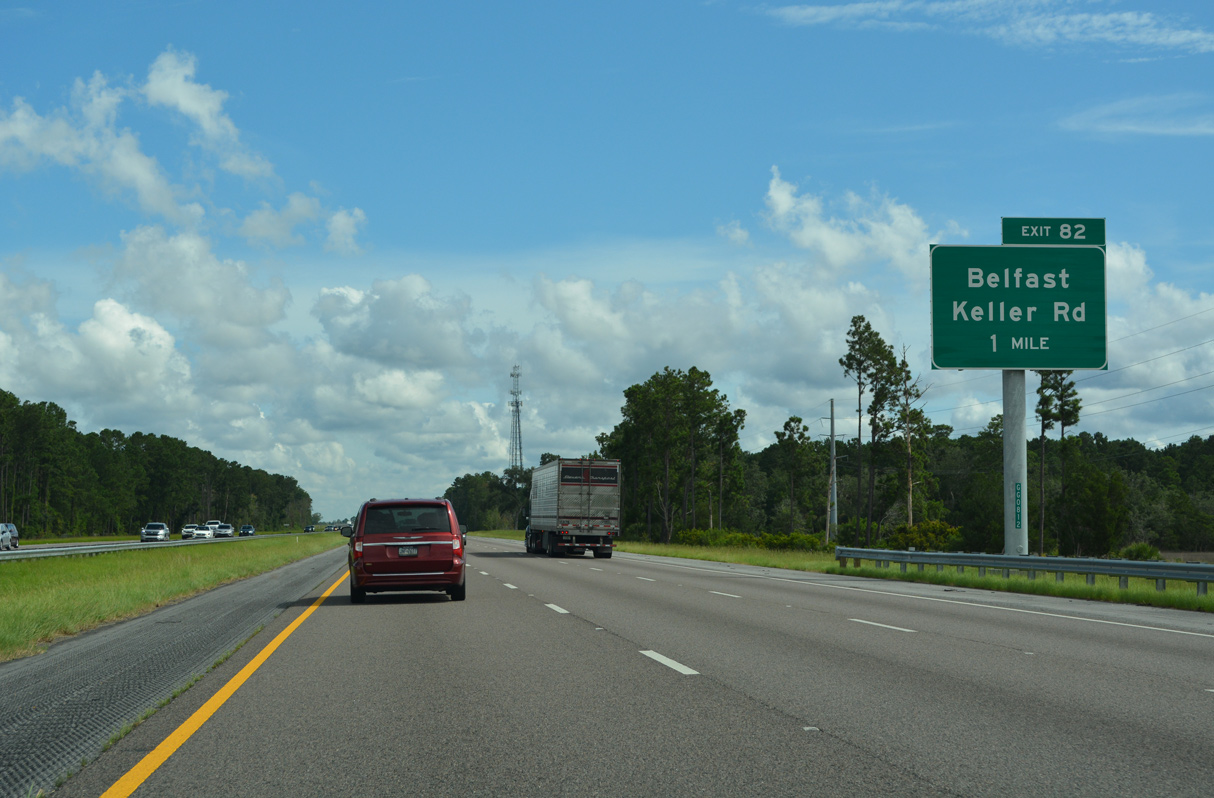
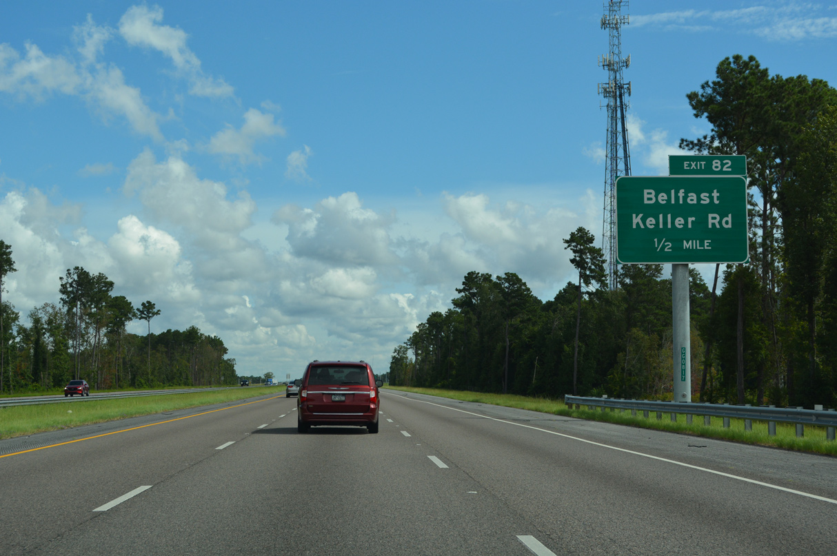
Located in south Richmond Hill, the dumbbell interchange with Belfast Keller Road at Exit 82 opened to traffic on January 22, 2021.3
12/20/24
Planned for 20 years and costing $19 million, the exchange with Belfast Keller Road was previously anticipated for completed in October 2020.3
12/20/24
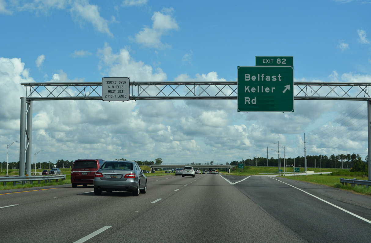
Belfast Keller Road loops 9.61 miles south from U.S. 17/SR 25 to SR 144 (Bryan Neck Road) at Keller. Opening of Exit 82 supported industrial development to the north and suburban development to the southeast.
08/14/21
I-95 runs through or along the Richmond Hill city line northward to Exit 87. Over 5,000 acres were annexed by the city along and to the east of I-95 in October 2017. Radient Places and Properties owns the land and plans widespread mixed-use and commercial development.4
12/20/24
Downtown Savannah lies 25 miles to the northeast from Belfast Keller Road via I-95 and I-16. The exchange with I-16 is 15 miles ahead.
12/20/24
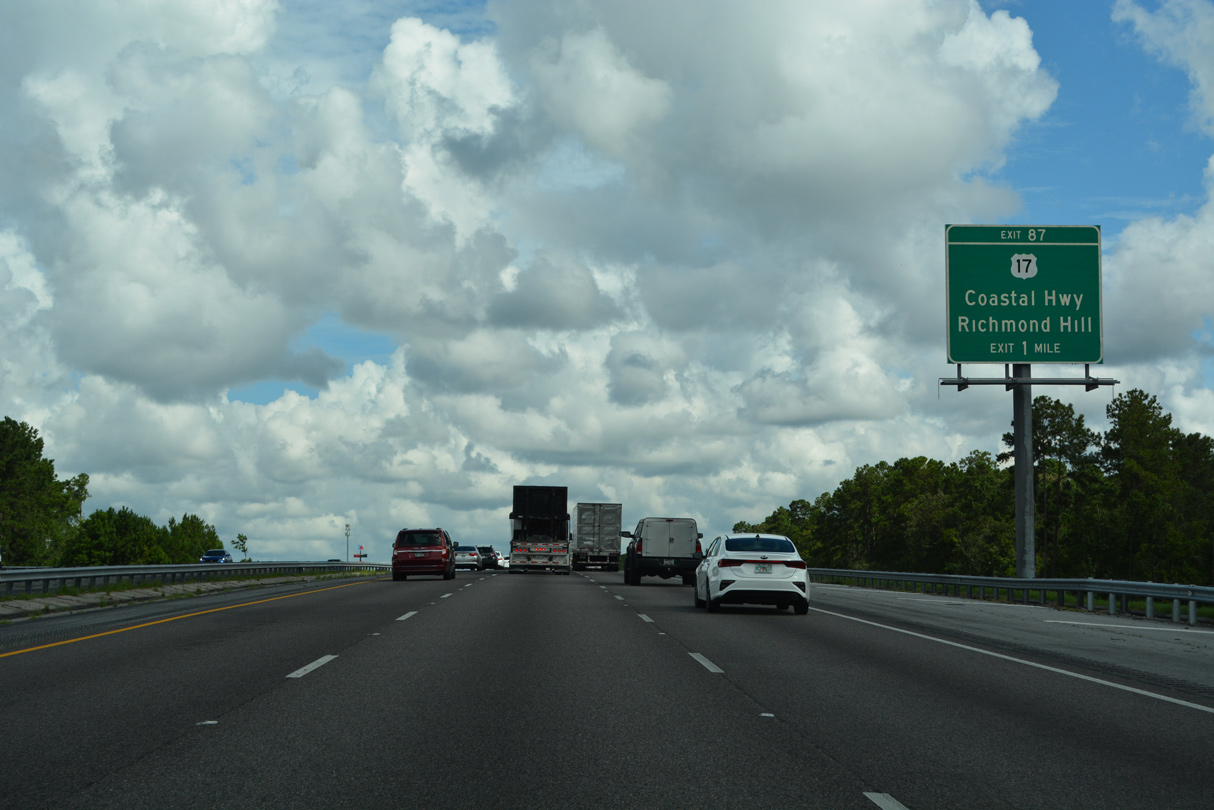
U.S. 17/SR 25 (Coastal Highway) converge with I-95 northeast from Midway at Exit 87 in Richmond Hill.
12/20/24
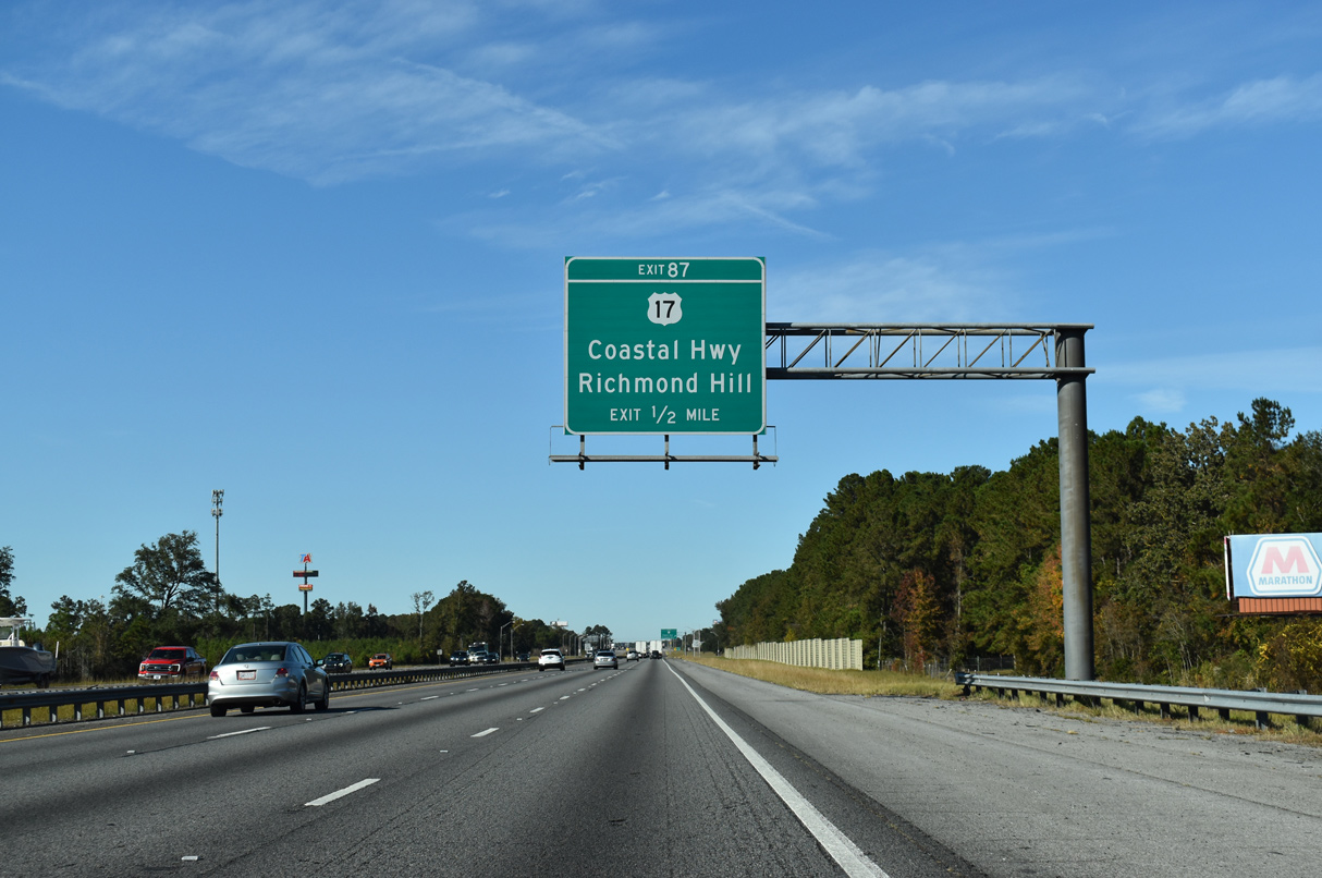
U.S. 17/SR 25 comprise a commercial arterial north through Richmond Hill to the Ogeechee River. A number of traveler services line U.S. 17/SR 25 at Exit 87.
11/19/21

U.S. 17/SR 25 shift east of I-95 through Richmond Hill into southern reaches of Savannah. U.S. 17 meets I-95 directly again at Hardeeville, South Carolina.
11/19/21
Interstate 95 passes over a CSX Railroad line and vacates the Richmond Hill city limits briefly before reentering them ahead of Exit 90.
08/14/21
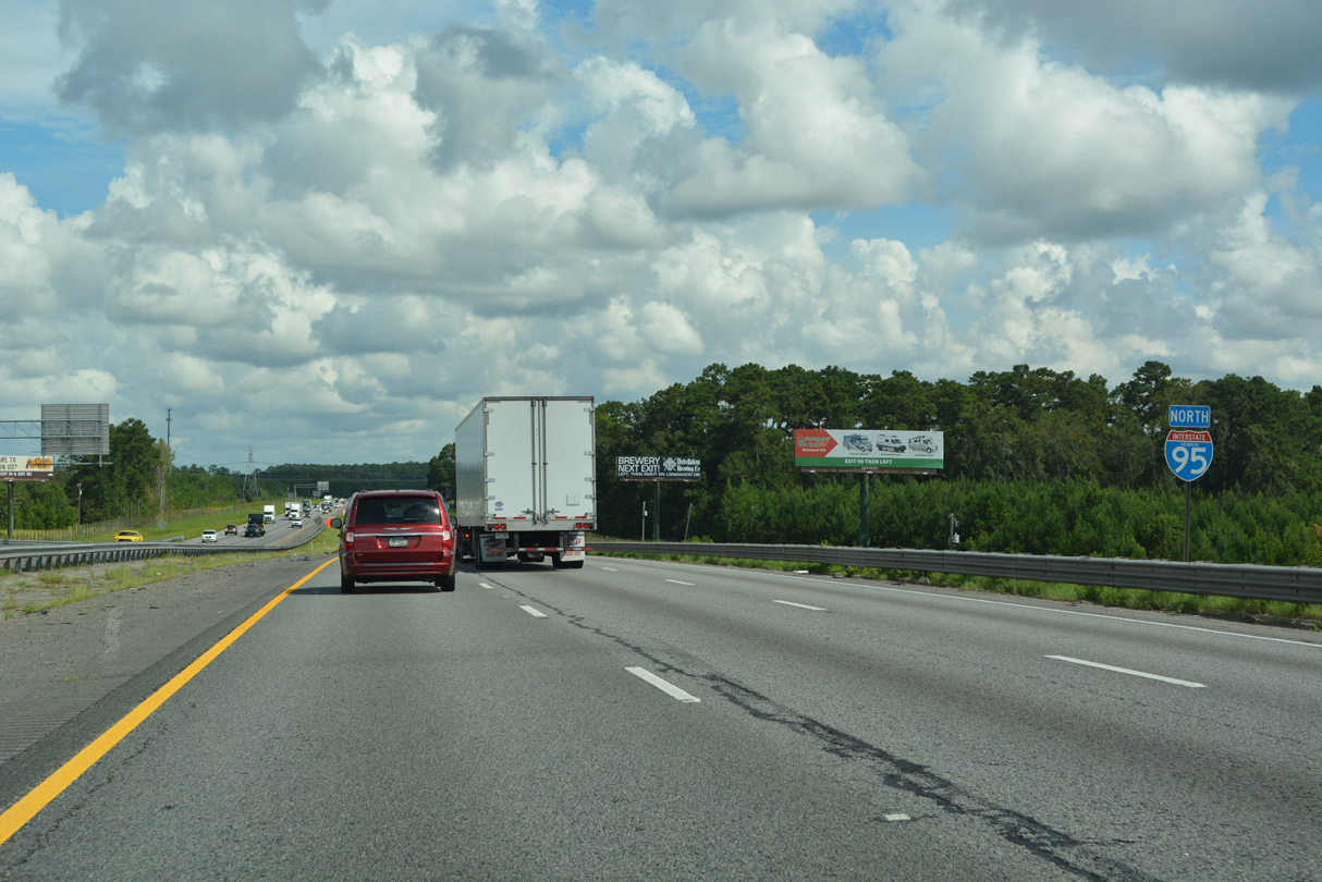
Interstate 16 is 11 miles ahead, with Savannah another ten miles further.
07/25/22
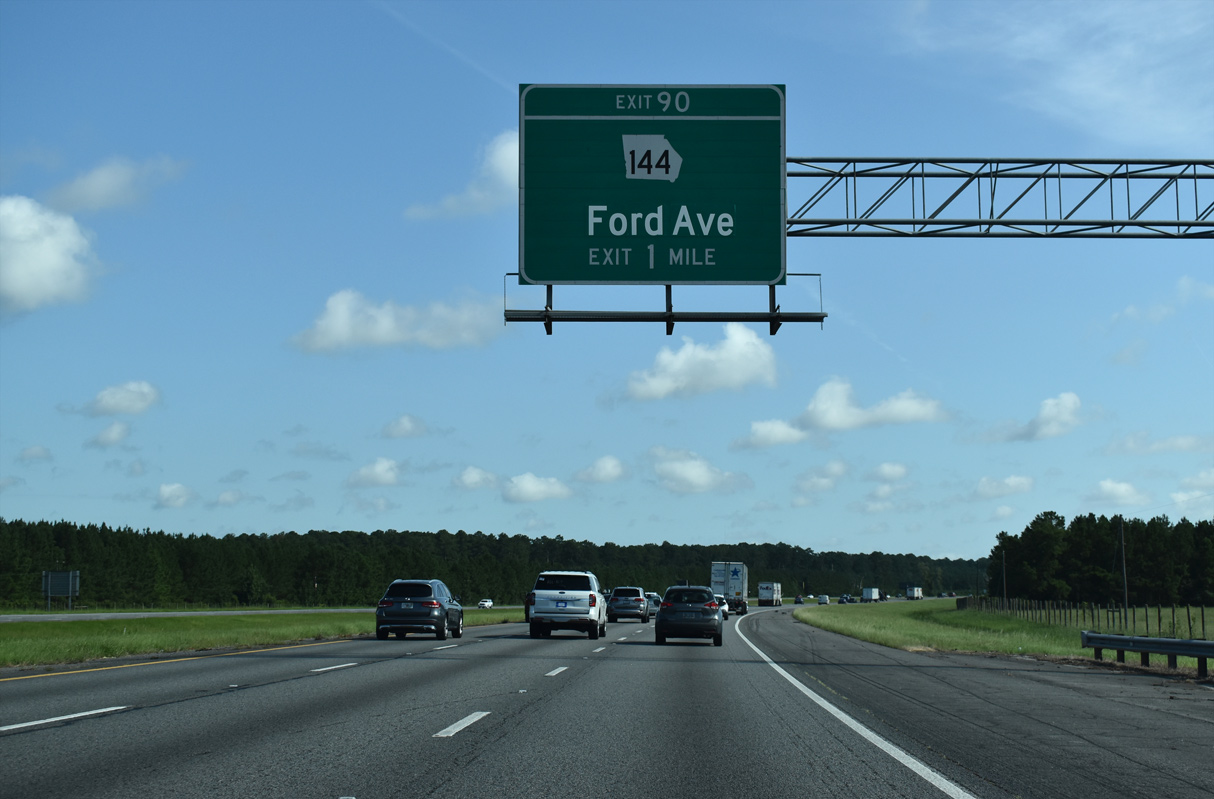
Encircling Richmond Hill to the west, I-95 advances northward to SR 144 (Ford Avenue) at Exit 90. SR 144 enters Fort Stewart west of I-95.
Greenouts for Exit 90 cover Old Clyde Road.
07/25/22
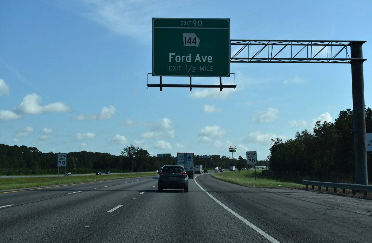
SR 144 follows Ford Avenue 1.25 miles southeast from Exit 90 to U.S. 17/SR 25 (Coastal Highway). Westward SR 144 winds 20 miles through Fort Stewart to SR 119 and 39 miles to Glennville.
07/25/22
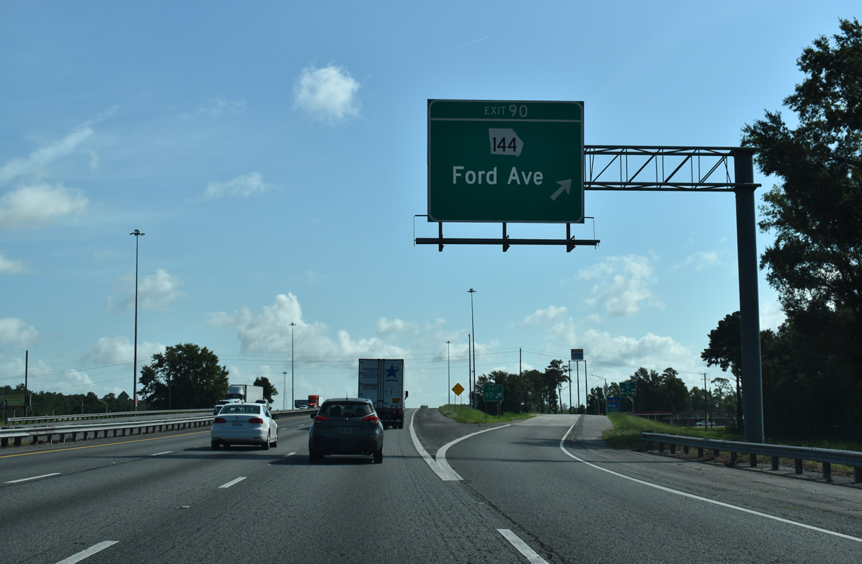
Entering the dumbbell interchange (Exit 90) with SR 144 (Ford Avenue) on I-95 north. SR 144 overall travels 83.00 miles west from coastal areas of Bryan County to Fort Stewart, Glennville and Baxley.
07/25/22
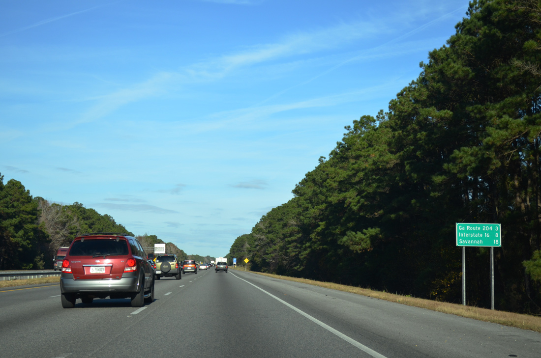
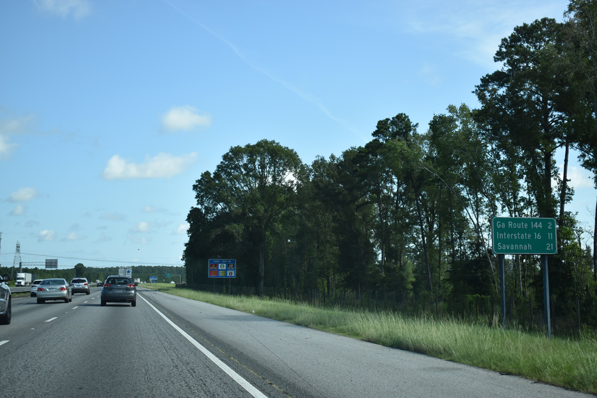
SR 204, three miles ahead, is the first of six interchanges within Chatham County. Interstate 16 is the second exit in eight miles.
12/19/13
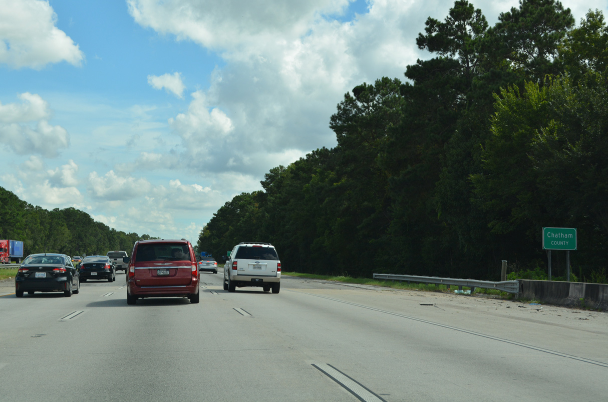
Interstate 95 plies across Lost Swamp to the Ogeechee River, which separates Bryan and Chatham Counties east to Ossabaw Island.
08/14/21
References:
- History of Richmond Hill Georgia
http://www.richmondhill-ga.gov/ AboutRichmondHill/History/ tabid/55/Default.aspx, City of Richmond Hill, Georgia web site. - "Plan Ahead to Survive Summer 2016 Road Construction." Georgia Department of Transportation (GDOT), press release. May 20, 2016.
- "Local, state leaders hold groundbreaking ceremony for I-95 interchange project in Bryan Co." WTOC TV-11 (Savannah, GA), October 24, 2018.
- "Richmond Hill approves major annexation." WTOC TV-11 (Savannah, GA), October 19, 2017.
Photo Credits:
- Alex Nitzman: 12/19/13, 08/14/21, 12/20/24
- ABRoads: 11/19/21
- Brent Ivy: 07/10/24
- Alex Nitzman, JP Nasiatka: 07/25/22
Connect with:
Page Updated Tuesday December 09, 2025.