
Interstate 95 & New Jersey Turnpike South - Newark to Edison


 South
South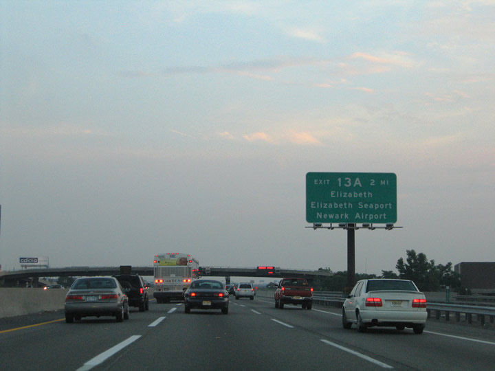
The two mile guide sign for Exit 13A precedes the Interstate 78 over crossing. Route 81 meets the Turnpike ahead, providing a direct connection to the U.S. 1/9 Freeway at Newark Liberty International Airport (EWR).
06/13/05
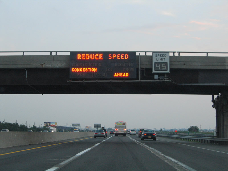
The New Jersey Turnpike originally featured neon traffic message signs. These signs illuminated when conditions warranted to advise motorists of traffic congestion, construction, accidents, etc. The signs were generally accompanied by a variable speed limit sign.
06/13/05
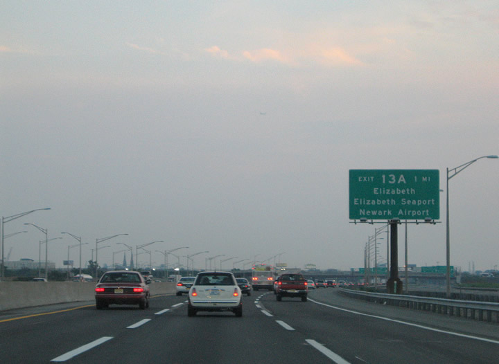
Interstate 95 crosses into Union County from Essex County on the one mile approach to Exit 13A. The forthcoming interchange complex serves Route 81 north, North Avenue, and Jersey Gardens Boulevard. Route 81 runs 1.18 miles north to Newark Airport; North Avenue and Jersey Gardens serve the city of Elizabeth and the Elizabeth Seaport to the east.
06/13/05
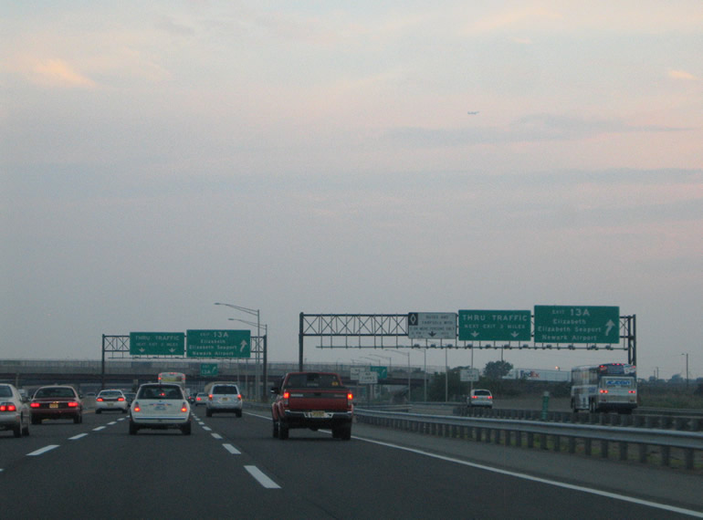
Separate ramps depart the two roadways of the New Jersey Turnpike for Route 81 north, North Avenue, and Jersey Gardens Boulevard south. Jersey Gardens Boulevard heads southeast to 3rd Street and Jersey Gardens. North Avenue (CR 624) travels west from McLester Street to U.S. 1/9 (Spring Street) where it upgrades to Route 439 and continues west to New Jersey 28 (Westfield Avenue).
06/13/05

Interstate 278 meets the New Jersey Turnpike at the Exit 13 interchange in south Elizabeth. Interstate 278 comprises a major route through New York City, heading southwest from the Bronx through Queens, Brooklyn, and Staten Island to Linden, New Jersey. Interstate 278 spans the Arthur Kills river between Staten Island and Elizabeth via the four lane Goethels Bridge. The Goethels Bridge includes a toll for all passenger vehicles traveling eastbound into Richmond County, New York. West of I-95, I-278 spurs to U.S. 1/9 (Edgar Road) where it ends prematurely at Linden.
06/13/05
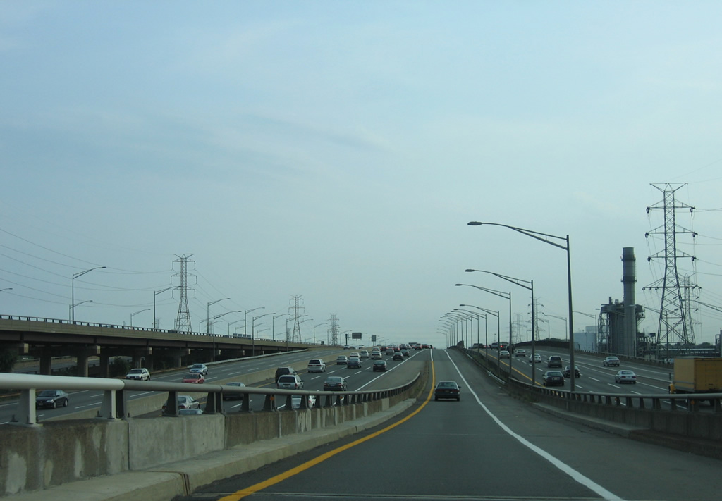
Ascending from the I-278 on-ramp onto the Inner Roadway of the NJ Turnpike south. Industrial areas spread to the west between I-95 and U.S. 1/9.
08/29/05
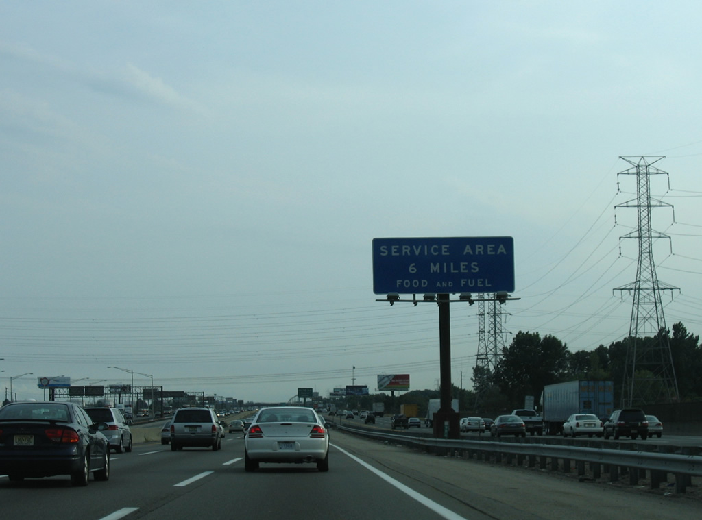
The second Service Area of the NJ Turnpike south lies six miles ahead at Woodbridge township.
08/29/05
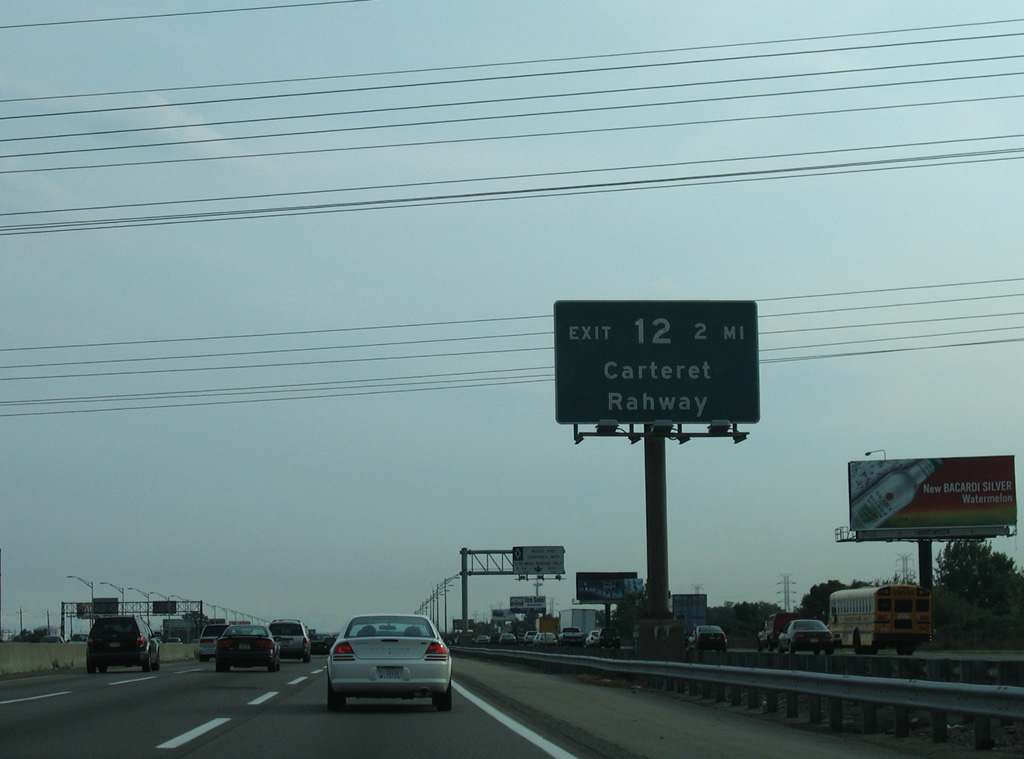
Continuing south through Linden toward the Exit 12 interchange with Roosevelt Avenue (Middlesex County 602) and Peter J. Sica Industrial Highway at Carteret. Roosevelt Avenue travels west from Carteret as Randolph Avenue to Middlesex County 514 (Rahway Avenue) along the Rahway city line.
08/29/05
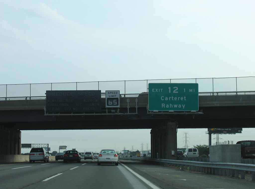
Tremley Point Road crosses over the New Jersey Turnpike one mile north of the Exit 12 trumpet interchange with Roosevelt Avenue and Peter J. Sica Industrial Highway. The four roadways of the Turnpike span the Rahway River between here and Carteret.
08/29/05
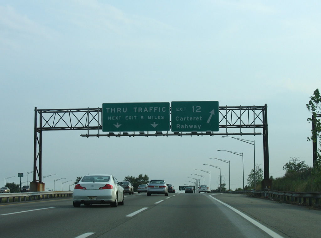
Exit 12 leaves the inner roadway of the New Jersey Turnpike south for Carteret. Peter J. Sica Industrial Highway loops east from I-95 to the industrial waterfront of Arthur Kill. CR 602 follows Roosevelt Avenue to the south through the Carteret street grid.
08/29/05
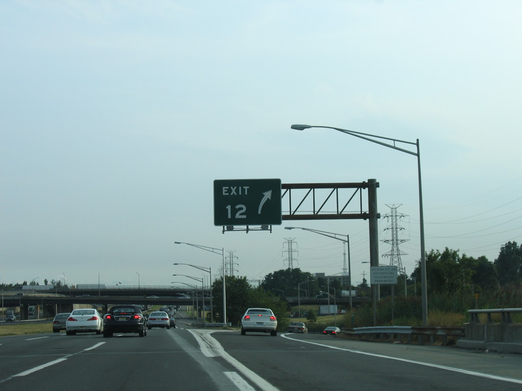
Rahway, to the west of Exit 12, lies along U.S. 1/9 and New Jersey 27 (St. Georges Avenue) across the Union County line.
08/29/05
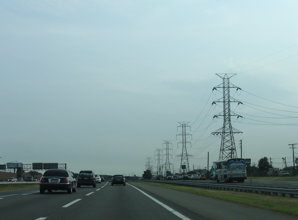
A row of transmission towers line the west side of the NJ Turnpike through the borough of Carteret.
08/29/05
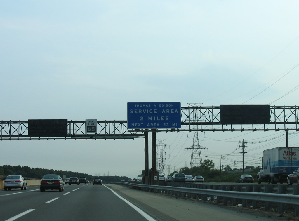
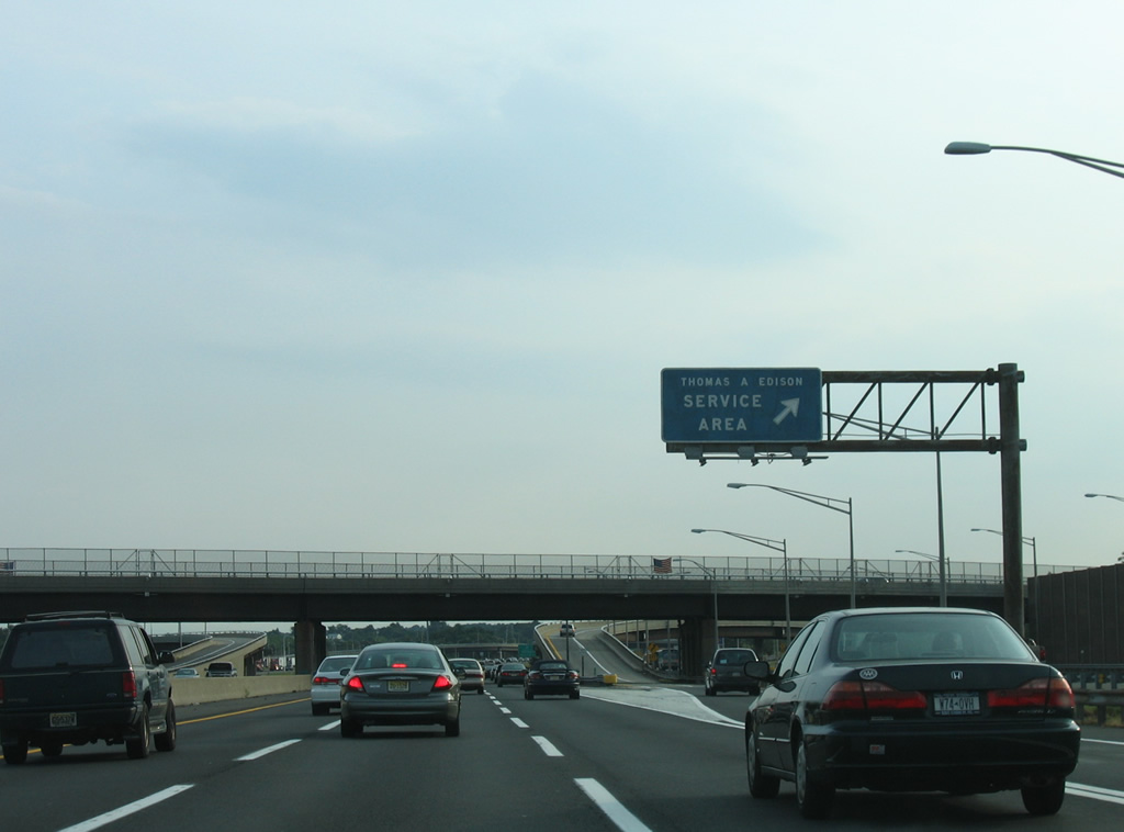
New Jersey Turnpike motorists next approach the Thomas Edison Service Plaza. The facility provides on-site gas, food, and tourist information.
08/29/05
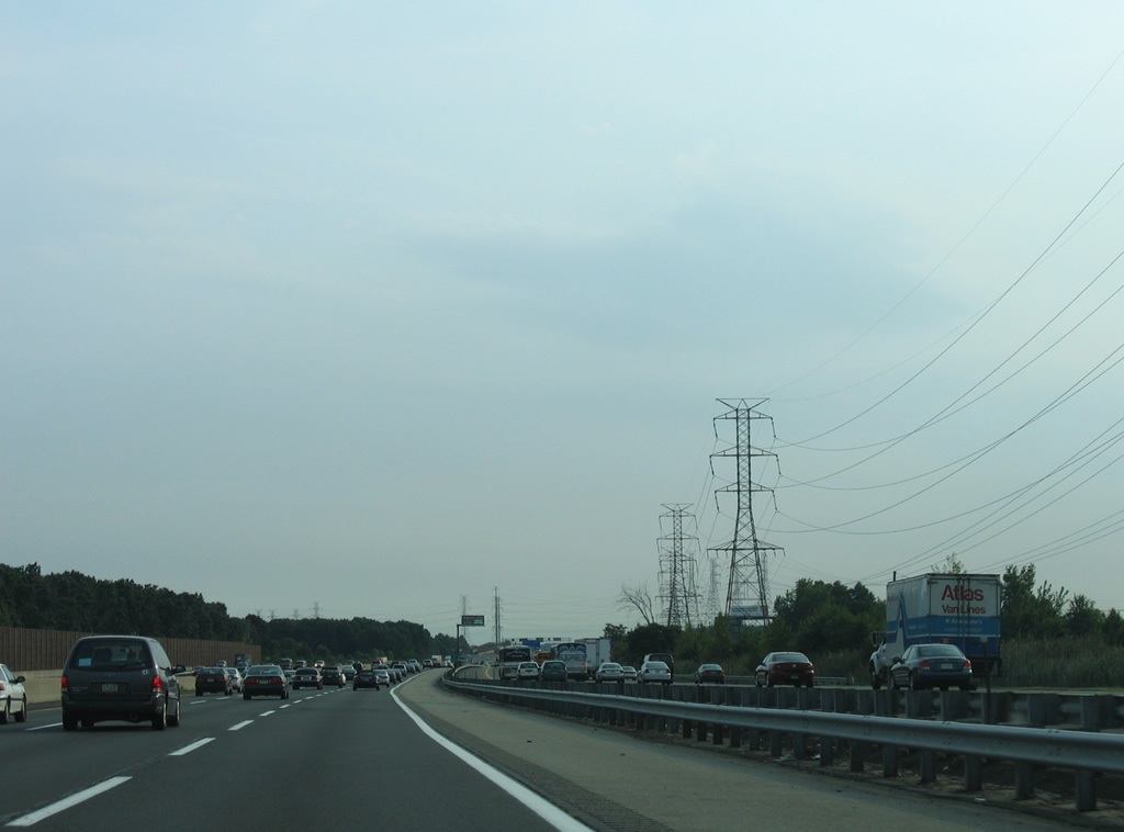
Interstate 95 crosses into Woodbridge township at Port Reading.
08/29/05
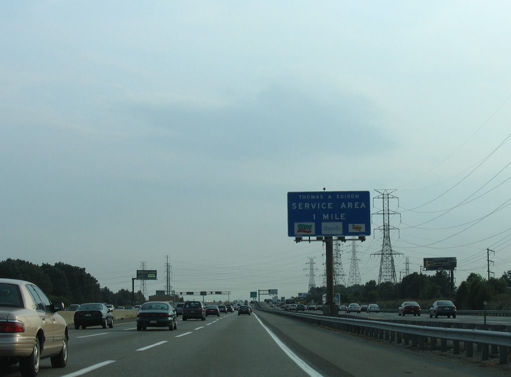
One mile north of the Thomas A. Edison Service Area. Edison, inventor of the phonograph, motion picture camera, and electric light bulb, established his research lab in Menlo Park, New Jersey.
08/29/05
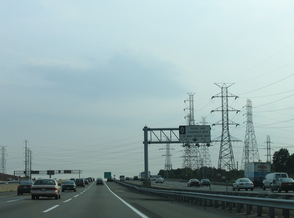
The left lane of the Turnpike outer roadway is restricted to HOV-3 eligible motorists during the evening peak hours.
08/29/05
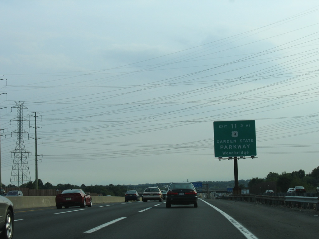
Exit 11 represents a major crossroads when the Garden State Parkway meets the New Jersey Turnpike at Woodbridge in two miles.
08/29/05
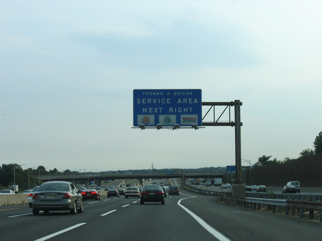
Port Reading Avenue (CR 604) crosses over Interstate 95 at the Thomas Edison Service Plaza off-ramp.
08/29/05
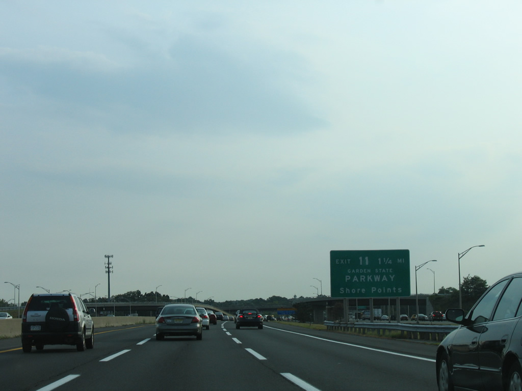
The Garden State Parkway constitutes a 172 mile long toll road traveling the length of New Jersey from the New York state line at Montvale south to Cape May.
08/29/05
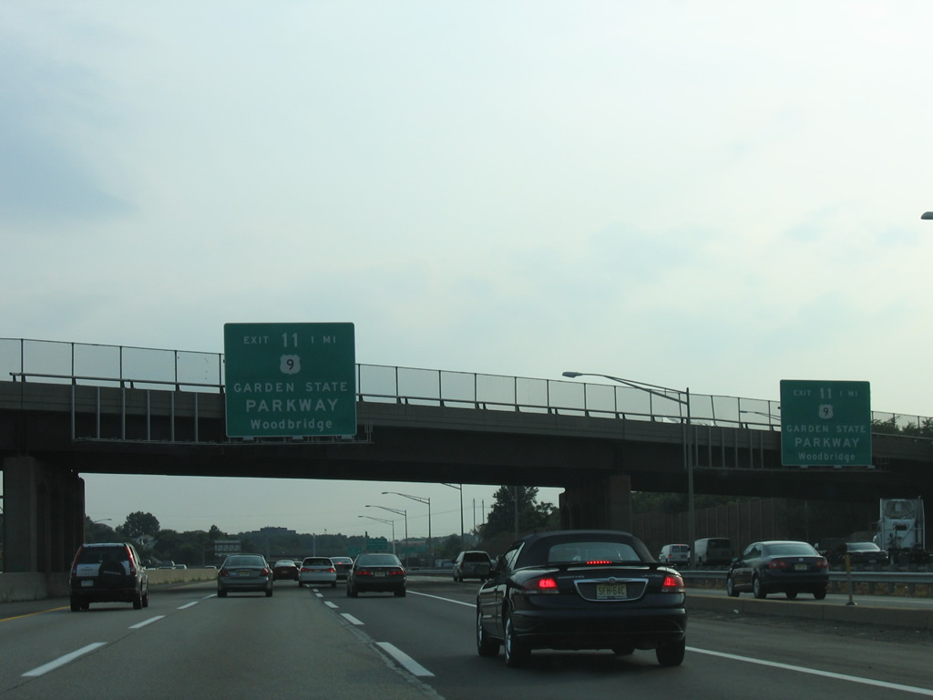
Southbound at the Woodbridge Avenue (CR 652) over crossing, one mile north of Exit 11 for Garden State Parkway and U.S. 9. U.S. 9 parallels the Garden State Parkway closely from Woodbridge southward across the Edison Bridge to South Amboy. Both highways continue south toward Toms River, Atlantic City, and Cape May.
08/29/05
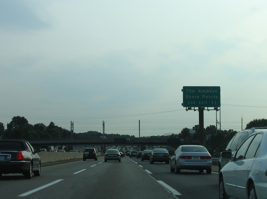
Exit 11 serves the communities of Perth Amboy and South Amboy closely via U.S. 9 and the Garden State Parkway. Shore Points refers to the coastal cities along the Garden State Parkway corridor south from Long Branch to Cape May. The toll road provides a high speed route to Asbury Park, Point Pleasant, Long Beach, and other towns along the Atlantic Ocean.
08/29/05
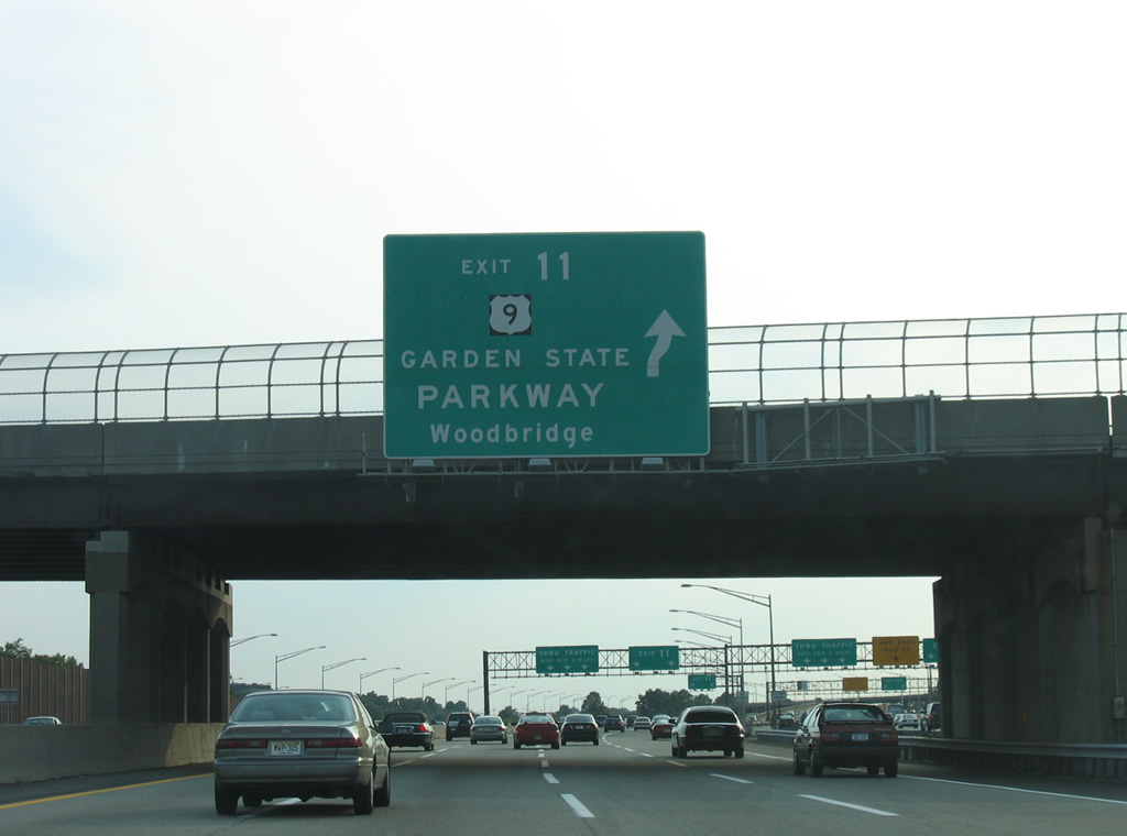
U.S. 9 ties into the parkway within a mile south of the turnpike. For northbound travelers, the Garden State Parkway provides a free route to Cranford, Union, and U.S. 22.
08/29/05
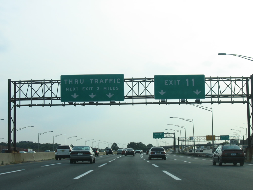
A connector roadway extends west from the wye interchange (Exit 11) through a large toll plaza to join the Garden State Parkway at Route 184 east and CR 501 (King Georges Road) west.
08/29/05
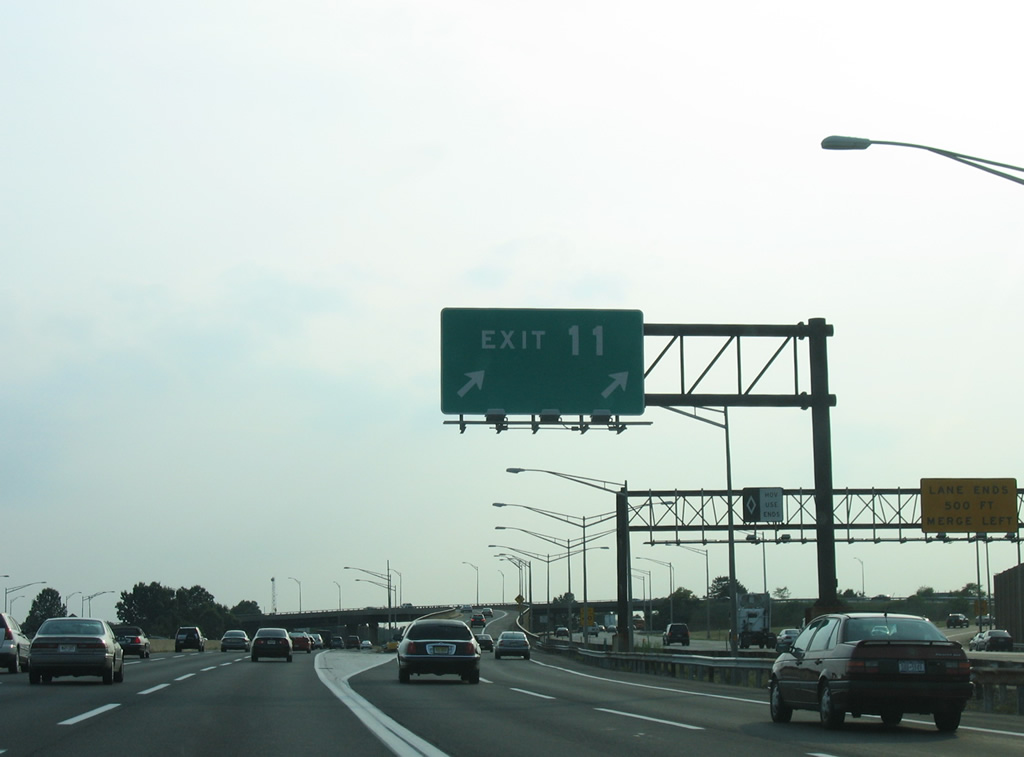
A second wye interchange adds traffic onto I-95 south from the Garden State Parkway beyond U.S. 9.
08/29/05
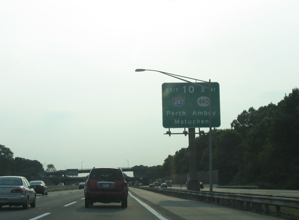
Interstate 95 progresses two miles southwest from Exit 11 toward Interstate 287 & Route 440 (Exit 10). Interstate 287 constitutes an outer belt route for the North Jersey metropolitan area, serving such communities as Piscataway, Morristown, Oakland, and Mahwah. The south end of the Interstate transitions into the Route 440 east-west freeway between Fords and Perth Amboy.
08/29/05
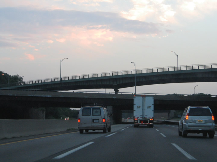
The only stack along the New Jersey Turnpike exists at the Garden State Parkway and Main Street over crossings at Woodbridge. The parkway mainline comprises the second level. Main Street (CR 514) spans the crossing on the top level.
06/13/05
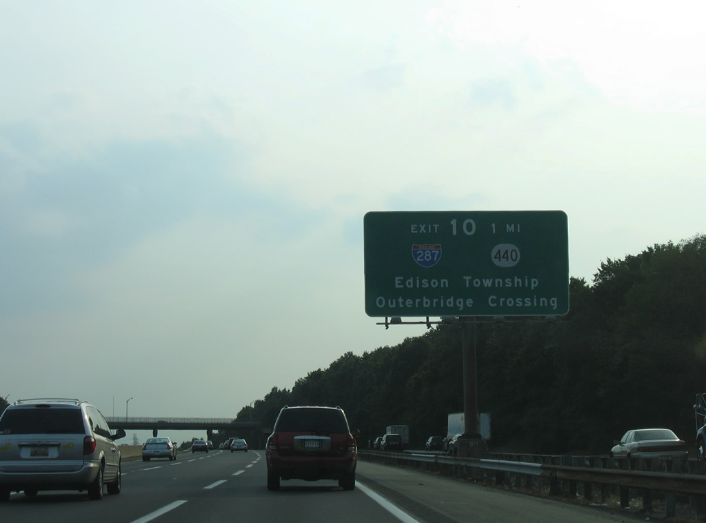
In addition to serving the borough of Metuchen via Interstate 287 north and Perth Amboy via Route 440 east, Exit 10 also provides access to Edison Township and the Outerbridge Crossing respectively. Edison Township entails the communities west of the Garden State Parkway along the U.S. 1 and Route 27 corridors. Route 440 spans the Arthur Kills between Perth Amboy and Staten Island, New York via the four lane Outerbridge Crossing.
08/29/05
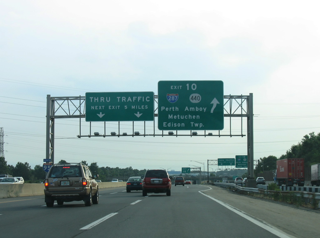
Interstate 95 southbound at the Exit 10 trumpet interchange with the connecting roadway to Interstate 287 north, Route 440 east, and Middlesex County 514 (Woodbridge Avenue).
08/29/05
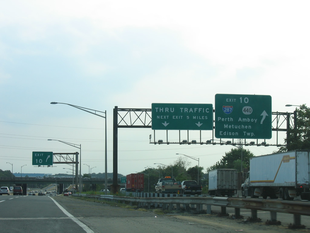
Interstate 287 ventures west to U.S. 1 and Metuchen within its first two miles. Route 440 transitions into NY 440 once on Staten Island, providing direct access to the Korean War Veterans Memorial Parkway and West Shore Expressway.
08/29/05
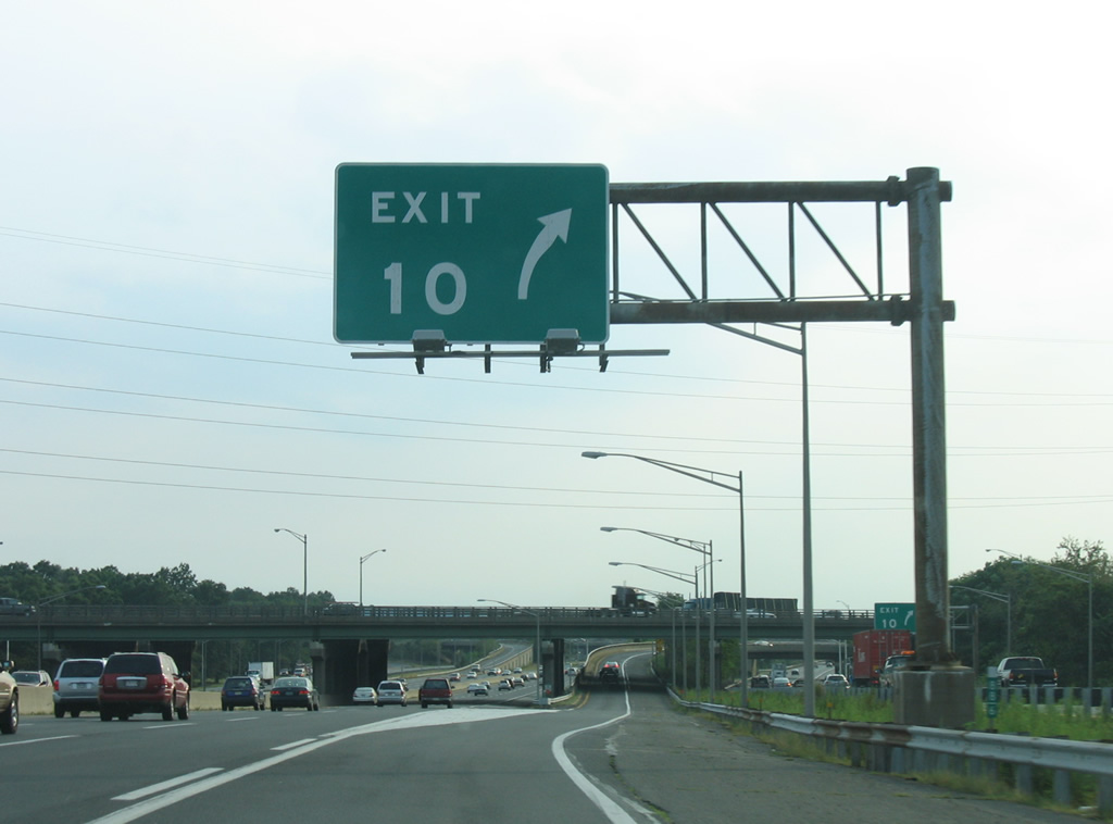
Exit 10 gore point from the Inner Roadway of the NJ Turnpike south. Woodbridge Avenue crosses Route 440 just east of the I-287 transition at the connecting ramps with the New Jersey Turnpike between Bonhamtown and Fords.
08/29/05
Photo Credits:
- Alex Nitzman, Justin Cozart: 06/13/05
- AARoads: 08/29/05
Connect with:


Page Updated Wednesday April 16, 2014.