
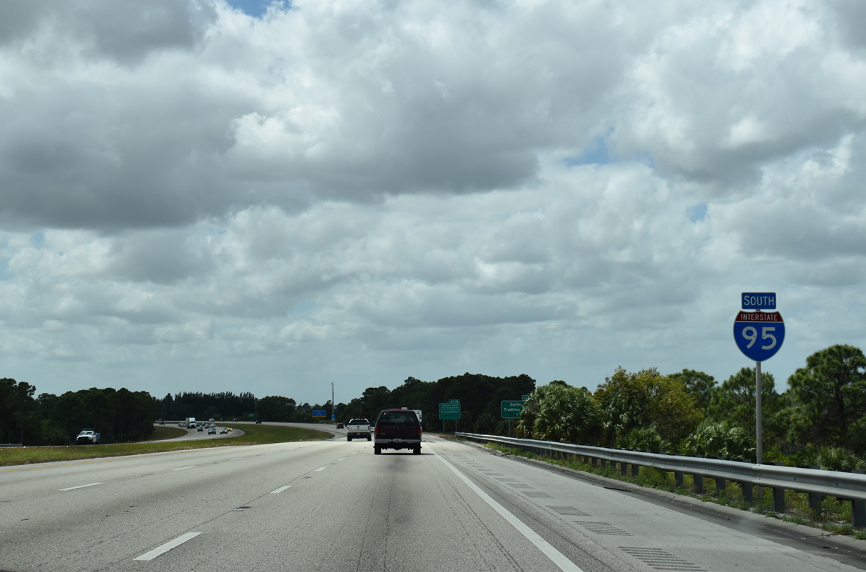
Interstate 95 South - Port St Lucie to Jupiter
Turning southward again, I-95 crosses over both CR 709 (Glades Cut Off Road) and the Florida East Coast (FEC) Railway. 2017-19 construction replaced both bridge decks.1
03/20/20
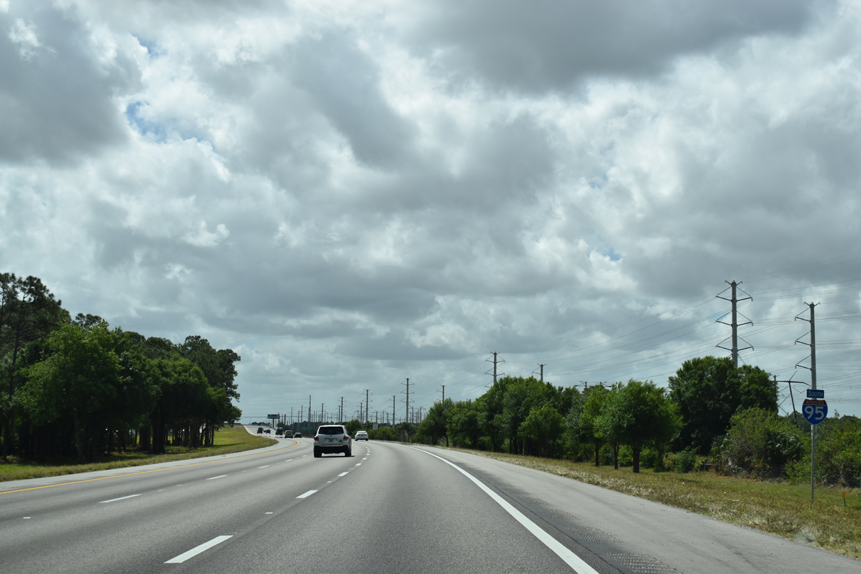
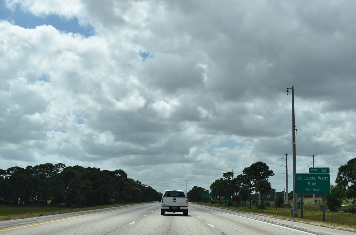
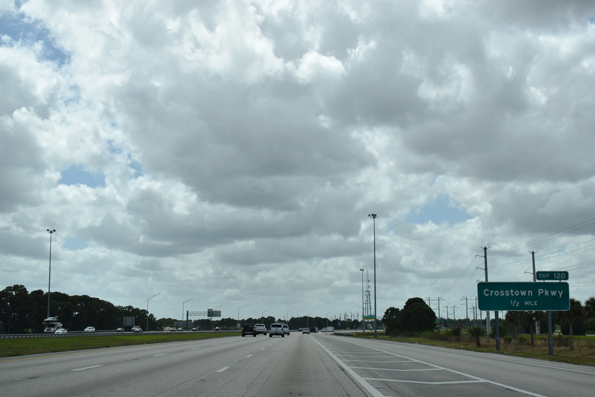
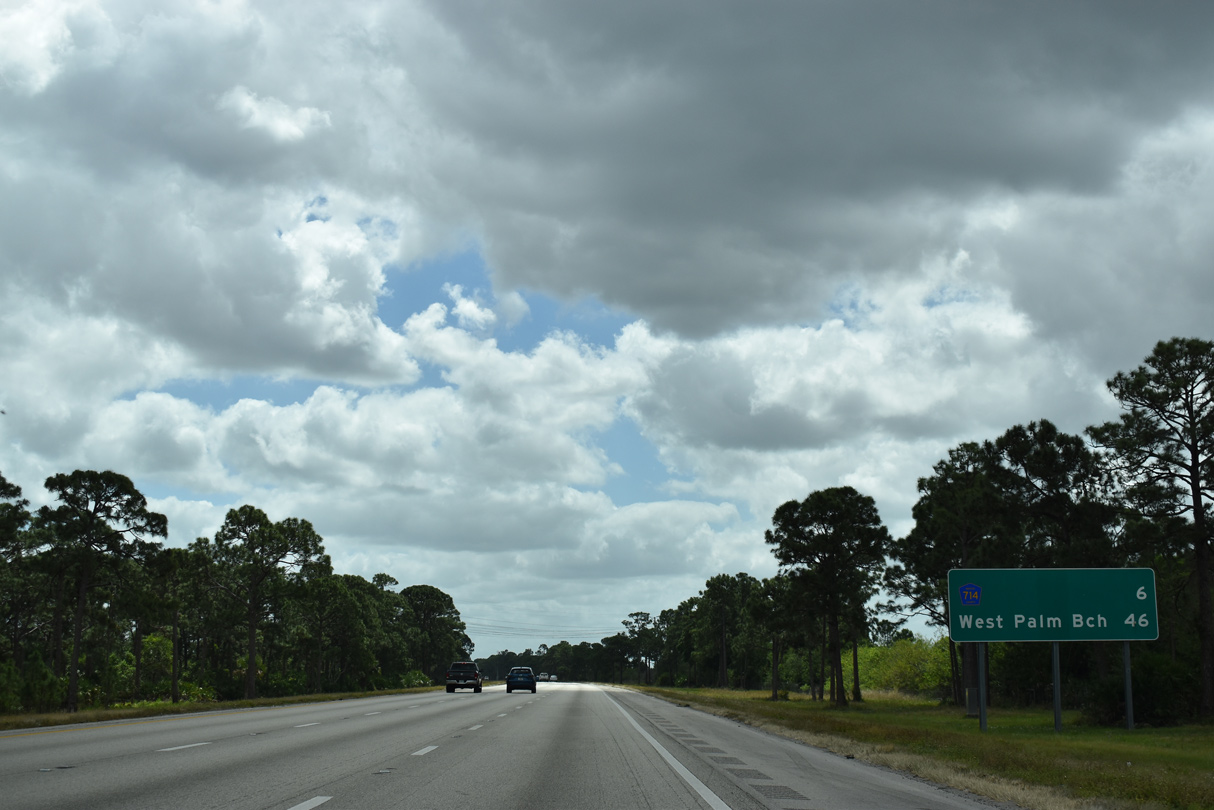
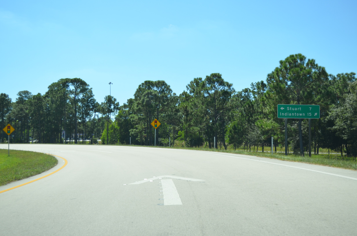
This distance sign posted 54 miles north of West Palm Beach omits the St. Lucie West and Crosstown Parkway interchanges. The forthcoming exchange opened to traffic on March 3, 1989.2
03/20/20
Construction on the St. Lucie West Interchange began in June 1987. Representing the first privately funded interchange in the Florida, the $6 million cost for the exchange was divided between adjacent land developers. Opening of the ramps accelerated growth of the 4,600 acres of former farm land in southwest St. Lucie County, including The Reserve, which started in 1984.3
03/20/20
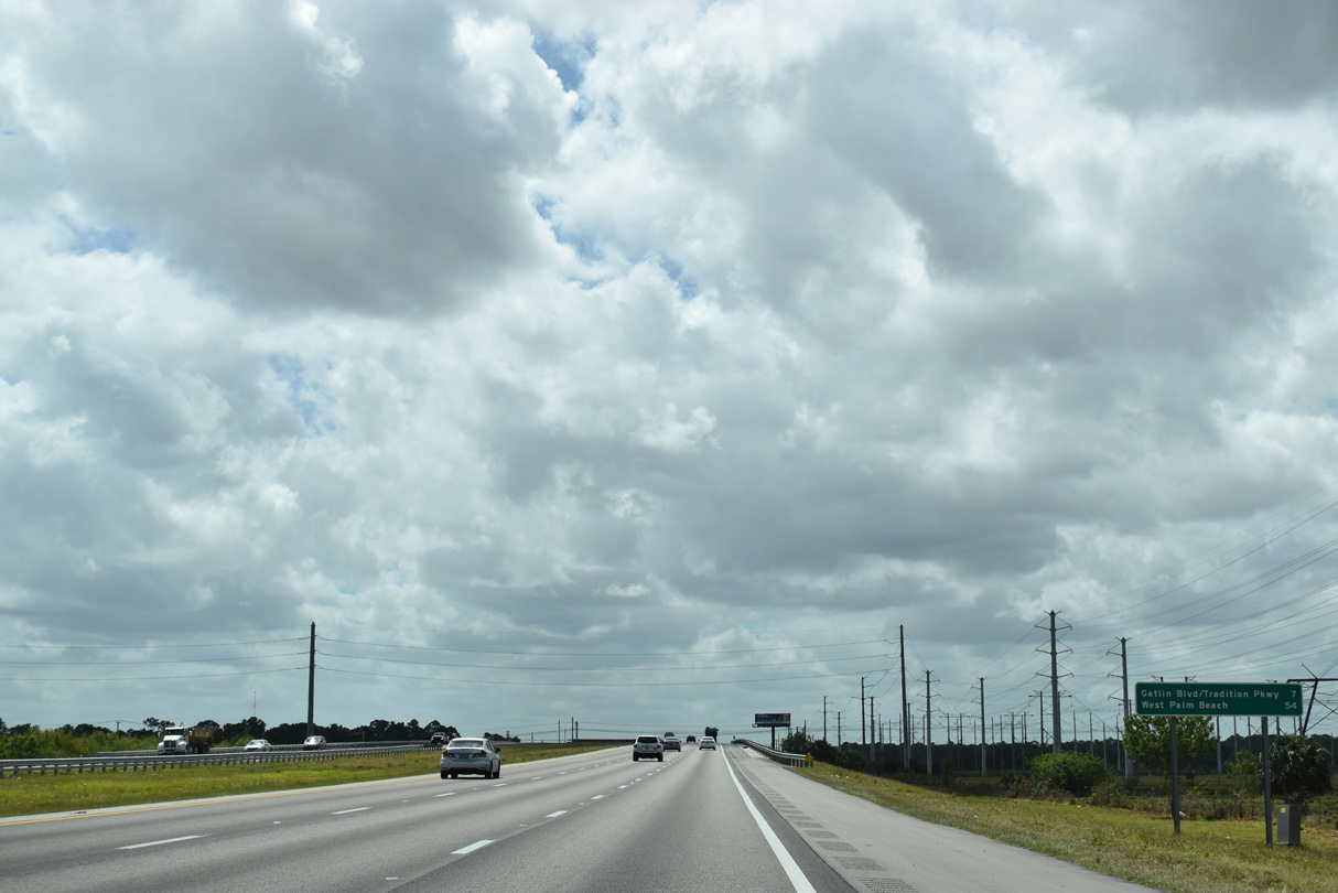
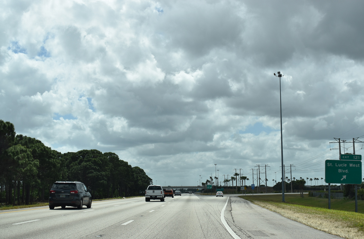
A half mile north of the parclo interchange (Exit 121) with St. Lucie West Boulevard on I-95 south.
03/20/20
The addition of ramps from I-95 to St. Lucie Boulevard included extending the arterial west from Prima Vista Boulevard.2 St. Lucie Boulevard ends at Reserve Boulevard leading into The Reserve golf course community.
03/20/20
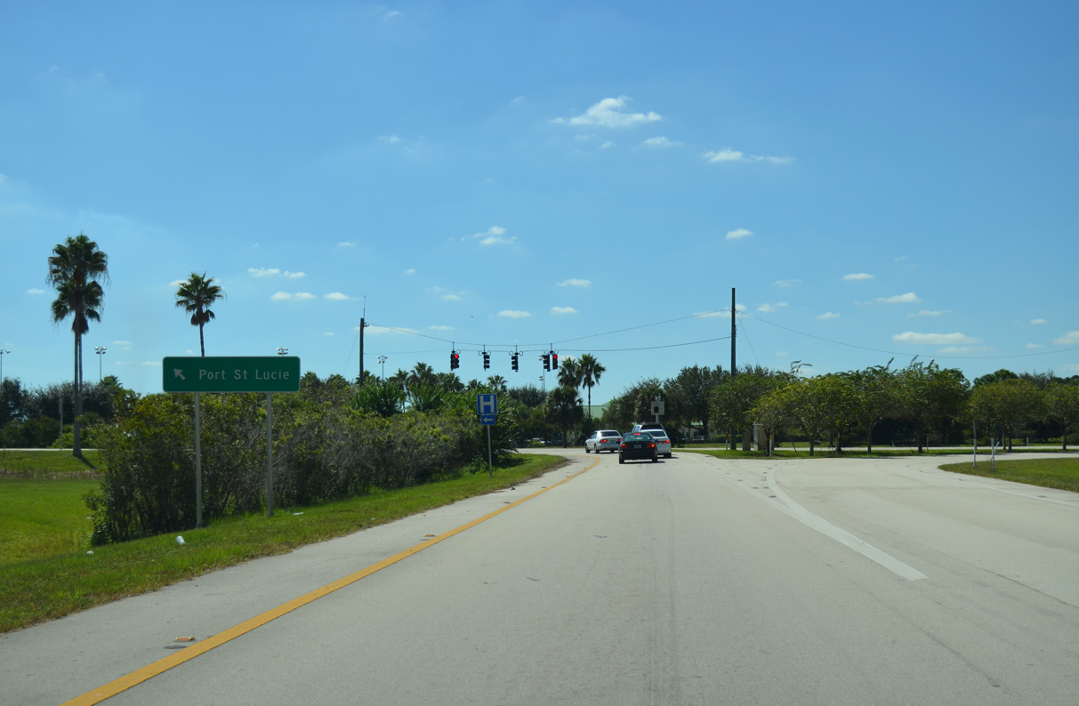
Taking Exit 121 from I-95 south to St. Lucie West Boulevard. A wide of array of retail spreads along arterial heading east toward the River Park community. First Data Field, the New York Mets spring training facility, lies a short distance to the northeast.
10/18/14
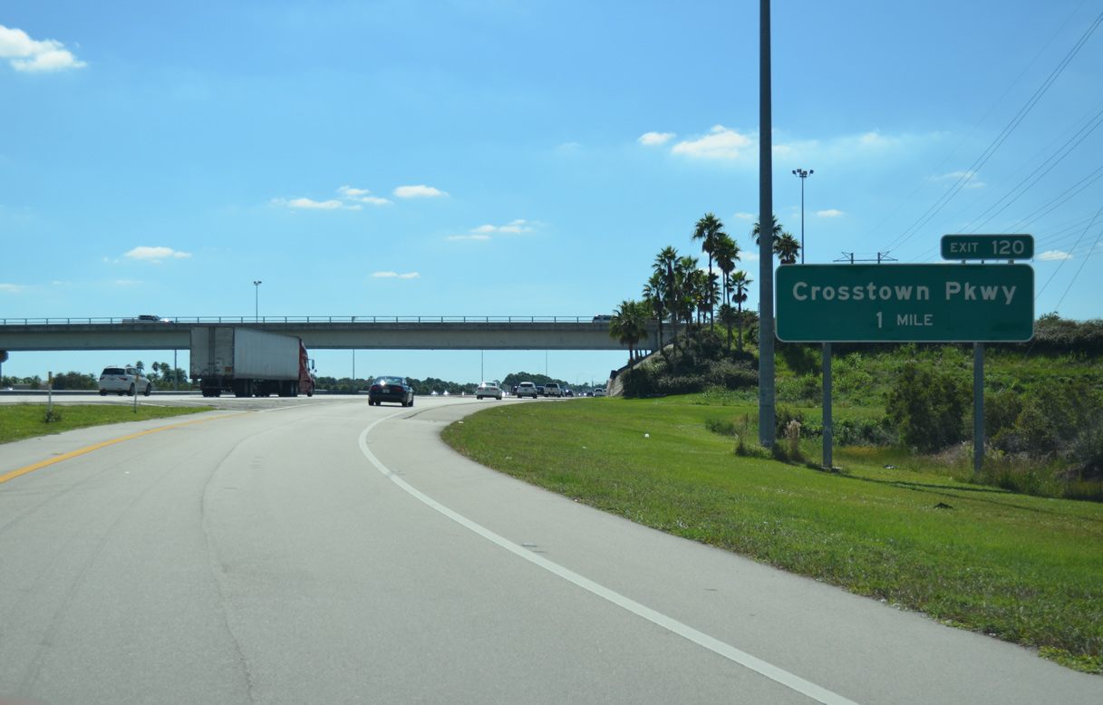
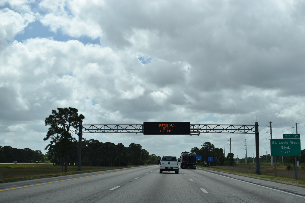
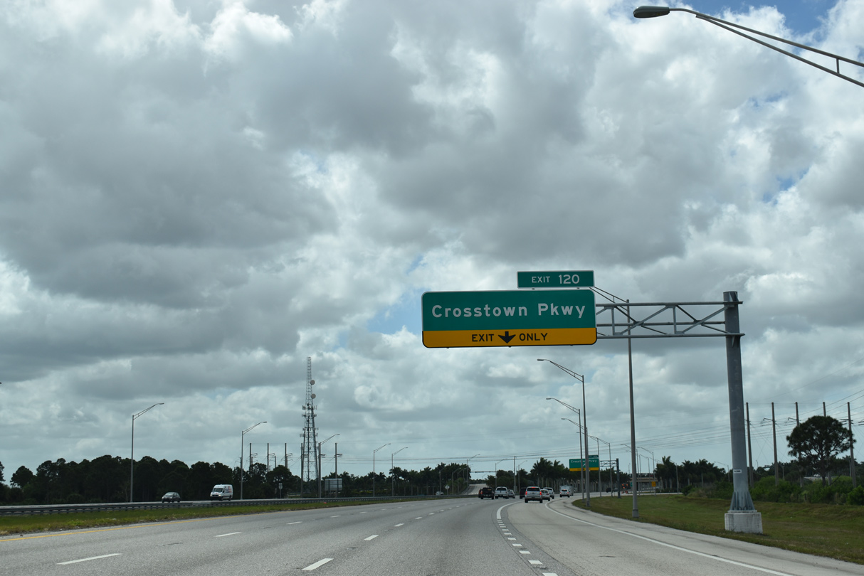
The third of the four exits for Port St. Lucie lies just a mile south of St. Lucie West Boulevard at Crosstown Parkway.
10/18/14
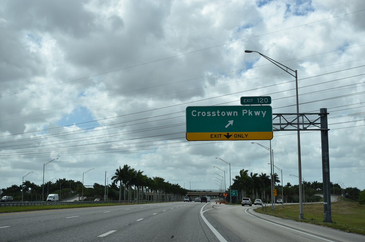
The diamond interchange (Exit 120) with Crosstown Parkway opened after a ribbon cutting ceremony held on March 28, 2009. First envisioned in 1980, the ramps with Crosstown Parkway connect with a controlled access arterial stretching across Port St. Lucie from Village Parkway at the Tradition development to U.S. 1.4
03/20/20
Interstate 95 shifts westward between the Lakes at PGA Village development and subdivisions in St. Lucie West to Crosstown Parkway.
03/20/20
Crosstown Parkway was extended east to Manth Lane after Exit 120 opened. The portion west to Tradition was finished in May 2009.4 Future work extends the arterial built by the city to Range Line Road.
03/20/20
An 8,200 acre area bound by I-95 and the planned extensions of Crosstown and Discovery Parkways, falls within the Tradition project. Including the Western Grove and Vitalia developments, an expected 17,000 homes with 4.8 million square feet of retail are envisioned in the rural lands of west Port St. Lucie. Tradition Parkway will be built to link the two east-west arterials as building progresses.5
03/20/20
This confirming marker stands beyond the bridge across C-24 Canal.
03/20/20
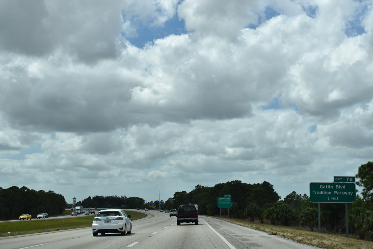
Subdivisions abut both sides of I-95 south to Exit 118 with Tradition Parkway west and SW Gatlin Boulevard east.
03/20/20
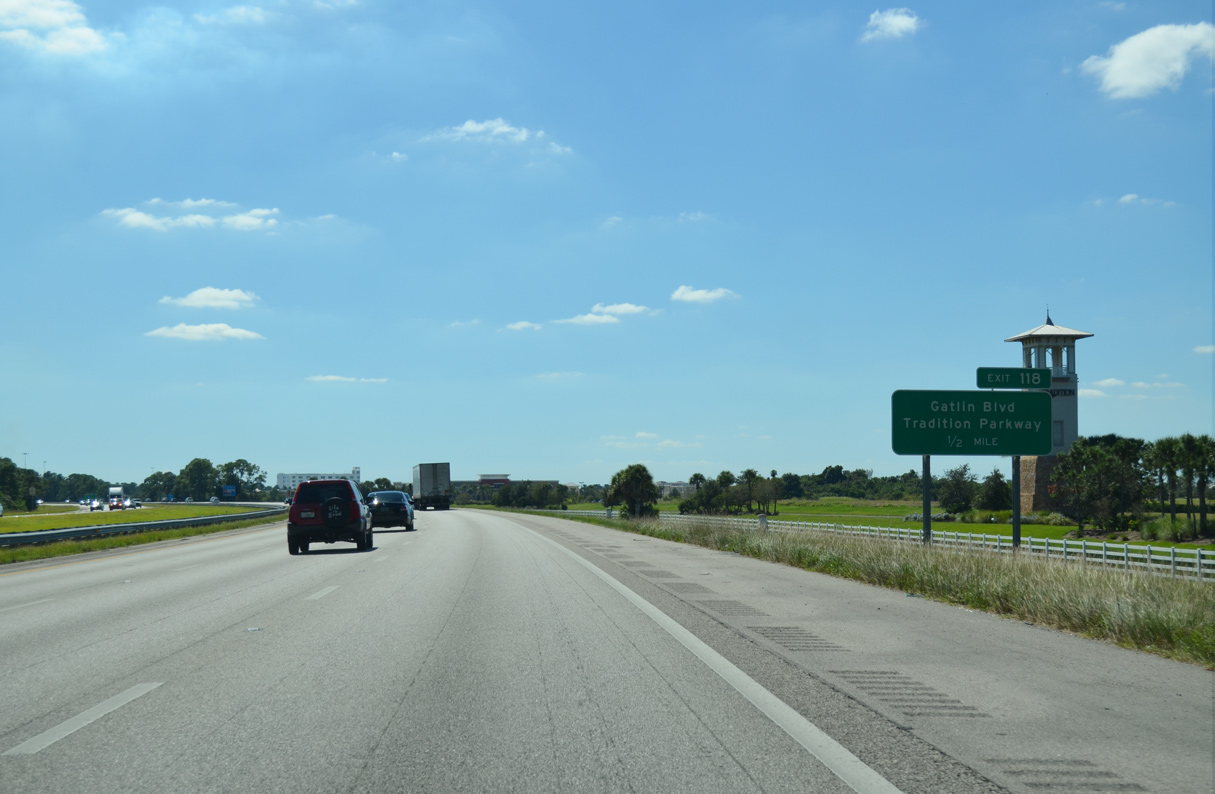
Gatlin Boulevard comprises a commercial boulevard heading east from I-95 to SW Port St. Lucie Boulevard. Tradition Parkway continues the arterial west to Village Parkway Drive and additional retail including The Landing at Tradition.
10/18/14
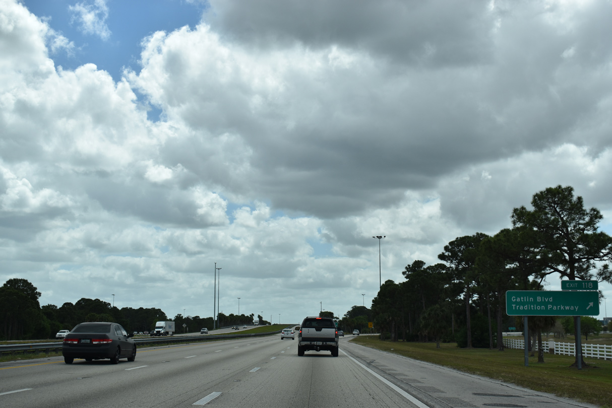
Traffic enters the diamond interchange (Exit 118) with Tradition Parkway and Gatlin Boulevard. Plans call for Tradition Parkway to continue west through the Traditions project area to Range Line Road.
03/20/20
The eight mile section of Interstate 95 south from Gatlin Boulevard in Port St. Lucie to SR 714/CR 714 opened to motorists on April 12, 1985.6
03/20/20
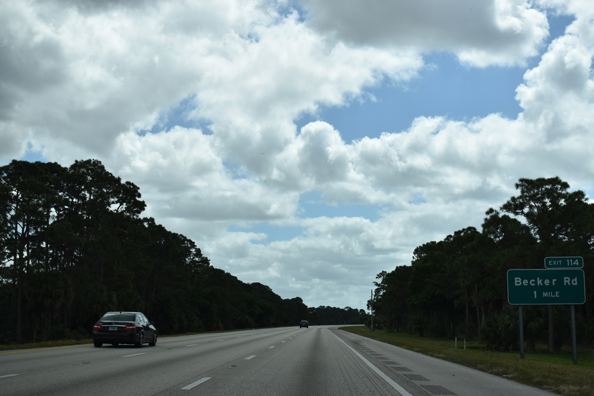
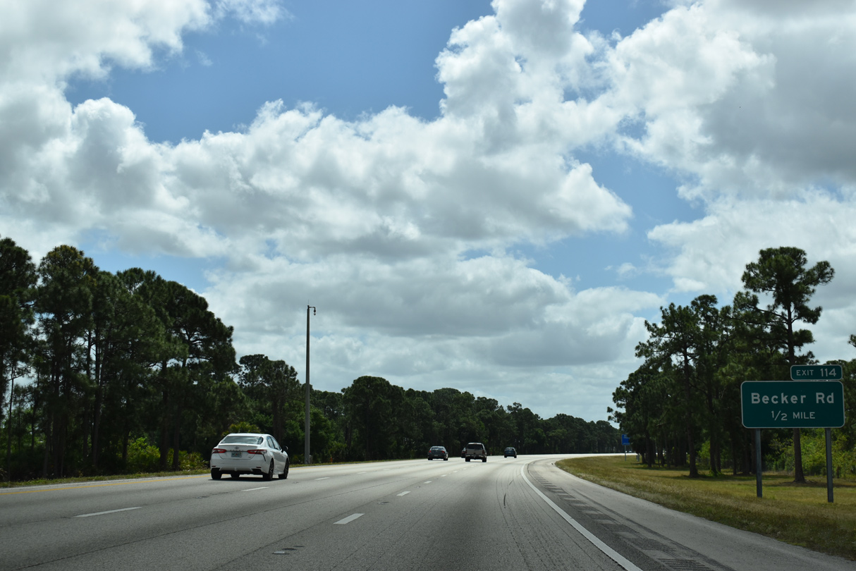
A series of S-curves lead I-95 south to Exit 114 with Becker Road in southwestern Port St. Lucie.
03/20/20
Parallel Village Parkway extends south to Becker Road, opening up open ranch land for additional suburban expansion along this stretch.
03/20/20
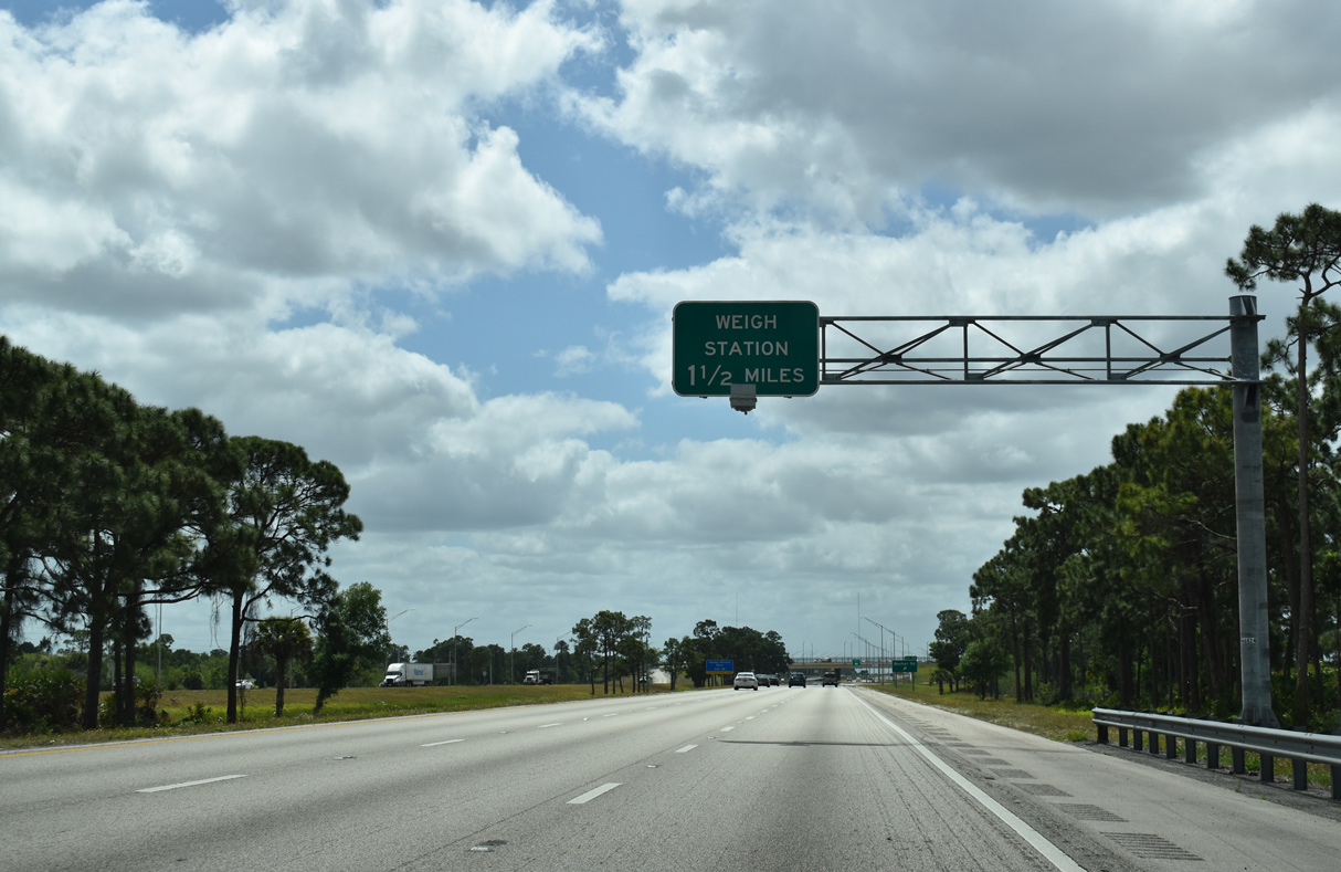
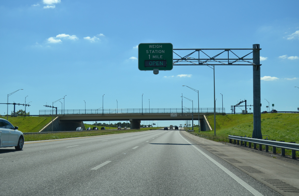
I-95 advances one mile south from Becker Road to a weigh station.
03/20/20

The diamond interchange with Becker Road was constructed between October 20077 and a ribbon cutting ceremony held on July 31, 20098
03/20/20
With $40 million funded by developers, and another $5 million from the city of Port St. Lucie, road work for the new exchange at Exit 114 included making improvements to Becker Road. Becker Road will eventually link with Rangeline Road two miles to the west.8
10/18/14

The Becker Road entrance ramp joins I-95 south at the bridge spanning County Line Canal.
03/20/20
Interstate 95 winds southeasterly 24.82 miles through Martin County.
03/20/20

The link to SR 714 in Martin County was the second to last segment of I-95 completed statewide. It opened followed 18 years of lawsuits, funding resolutions and alignment changes involving whether the new route would travel east of west of Florida's Turnpike.9
03/20/20
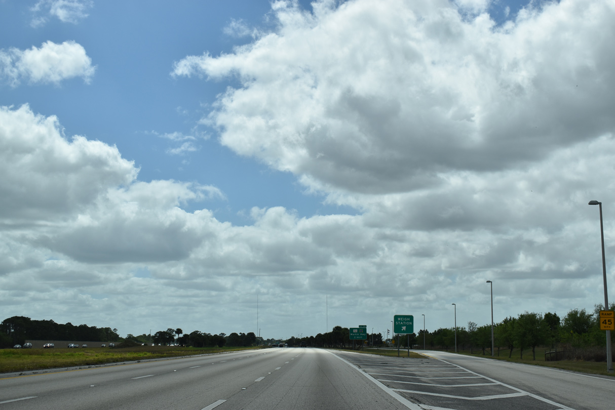
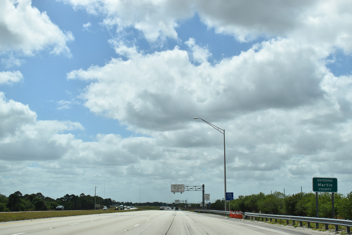
The southbound weigh station in Martin County is located across from the Cobblestone subdivision at milepost 112.
03/20/20
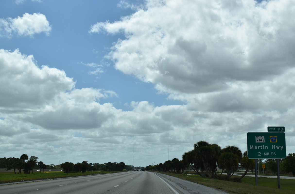
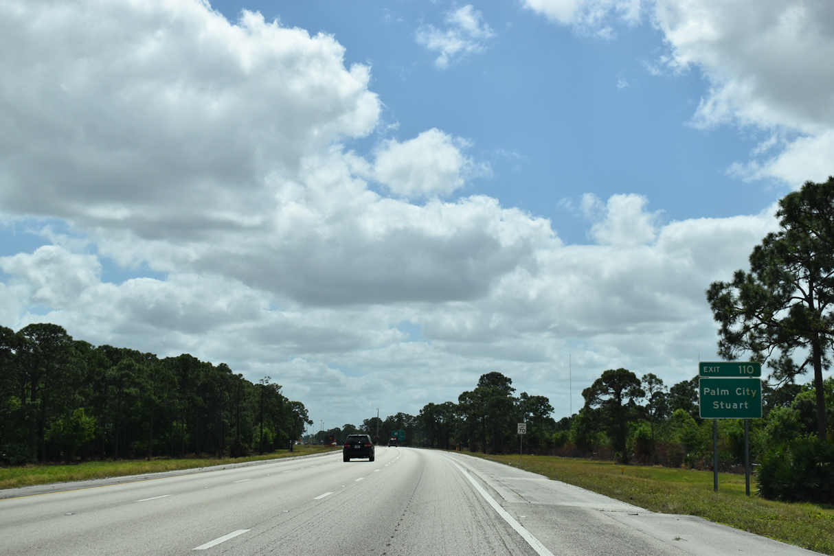
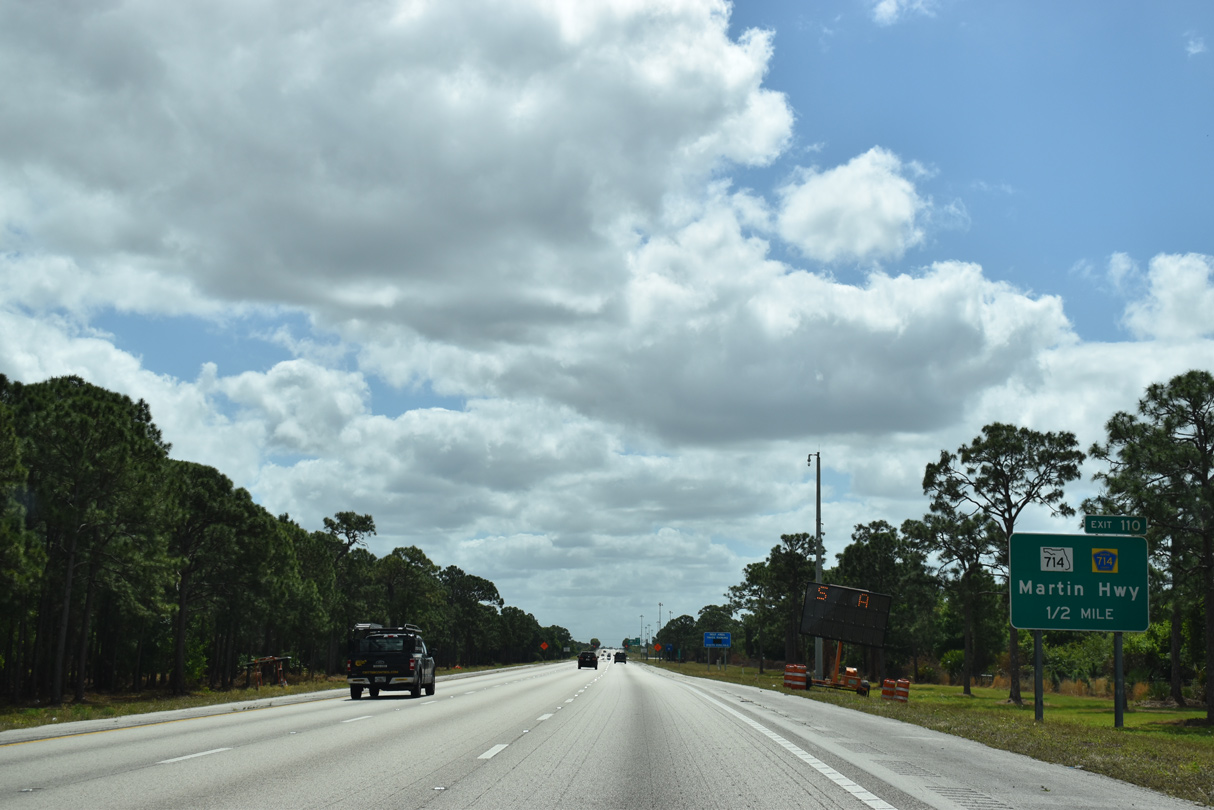
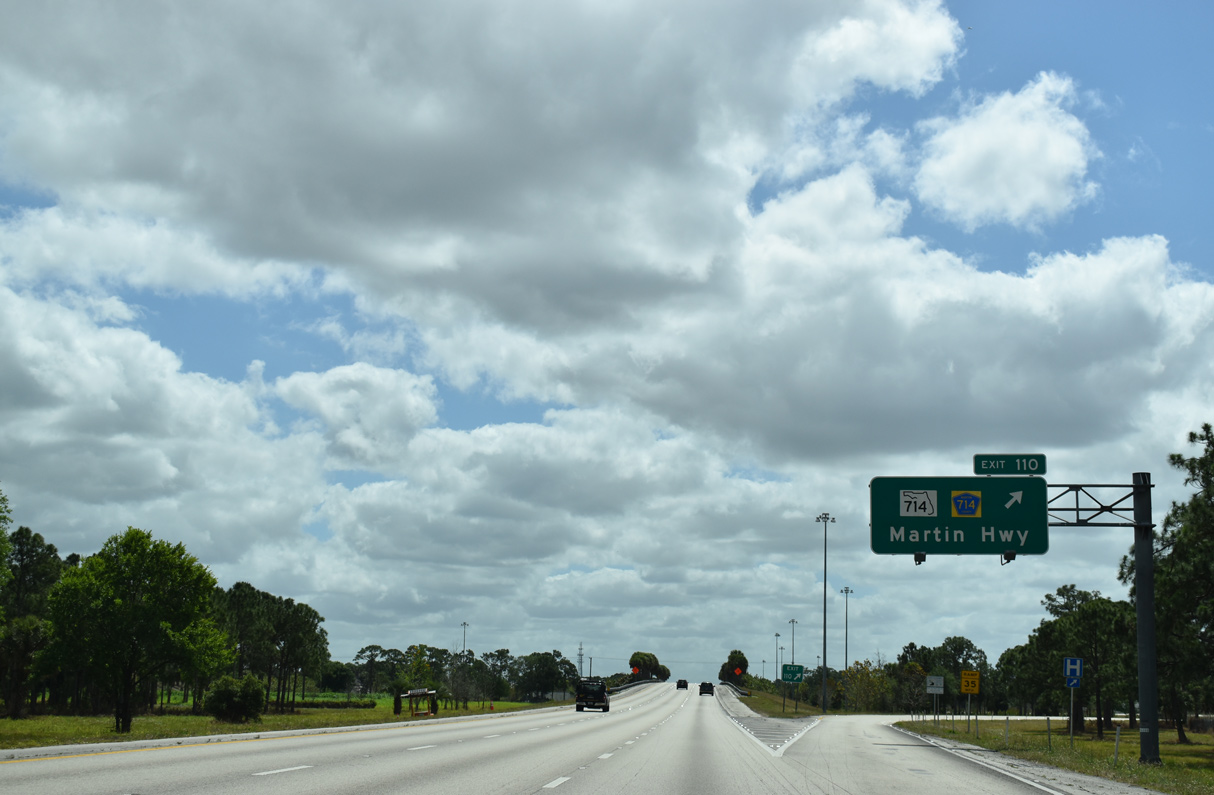
A diamond interchange (Exit 110) joins I-95 with CR 714 (Martin Highway) west and SR 714 east two miles south of the weigh station at Green Ridge.
03/20/20

Martin Highway (CR 714) bee lines 17.6 miles west from I-95 and SR 714 across the Allapattah Flats to connect with SR 710 (Warfield Boulevard) at the Okeechobee County line.
03/20/20
SR 714 (Martin Highway) travels 5.5 miles east from Exit 110 to Florida's Turnpike and the arterial bypass around Palm City (Martin Downs Boulevard). Beyond there the state road spans the South Fork of the St. Lucie River into the city of Stuart.
03/20/20
SR 714 (Martin Highway) measures 12.38 miles in length from Interstate 95 to SR A1A (Ocean Boulevard) in Stuart. SR A1A loops northeast to Sewalls Point and Tiger Shores Beach on Hutchinson Island.
03/20/20
Okeechobee lies 27.5 miles to the west of Exit 110 via CR 714 (Martin Highway) and SR 710 (Bee Line Highway).
03/20/20
Interstate 95 makes a pronounced easterly turn between Exit 110 and Florida's Turnpike at the St. Lucie River.
03/20/20
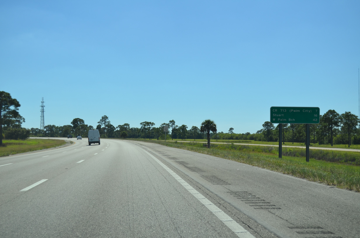
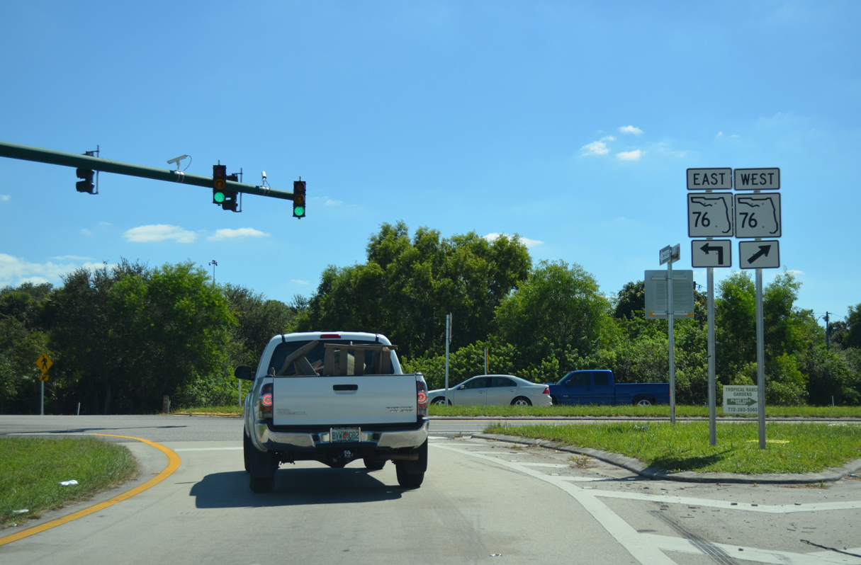
Bypassing Stuart to the southwest of Palm City, the Martin County seat lies 16 miles to the northeast via SR 76. West Palm Beach lies 35 miles beyond the succeeding interchange with CR 713.
10/18/14
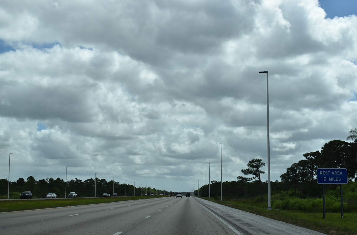
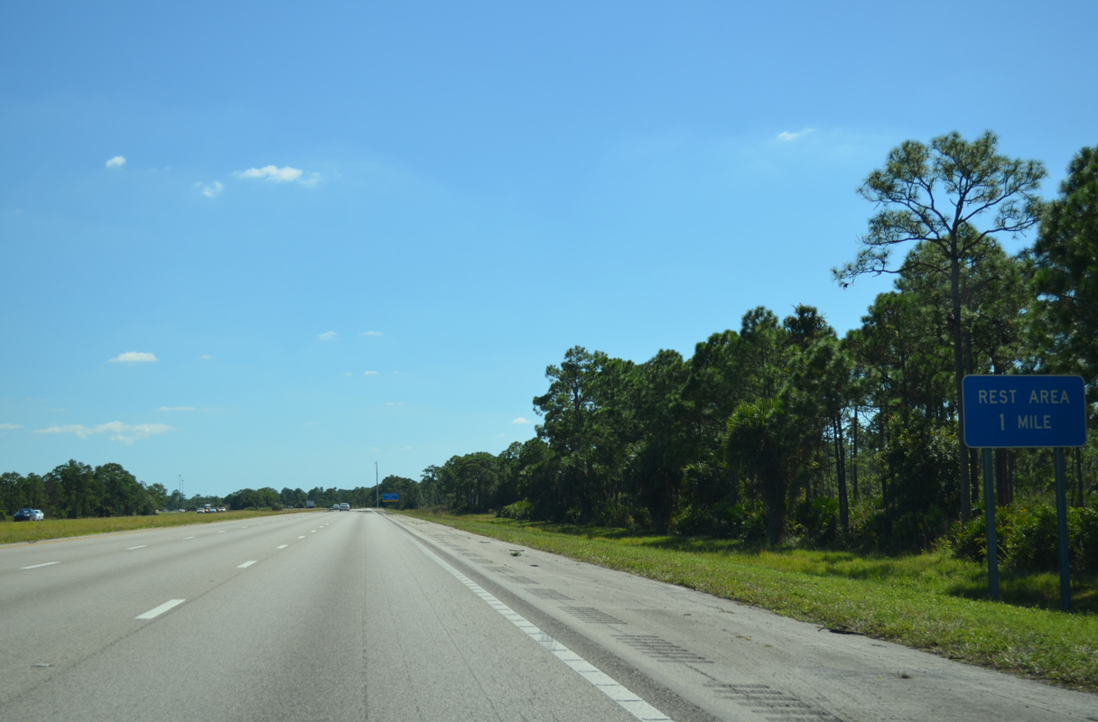
The seventh rest area along Interstate 95 south is located 26 miles from the previous facility in St. Lucie County.
10/18/14
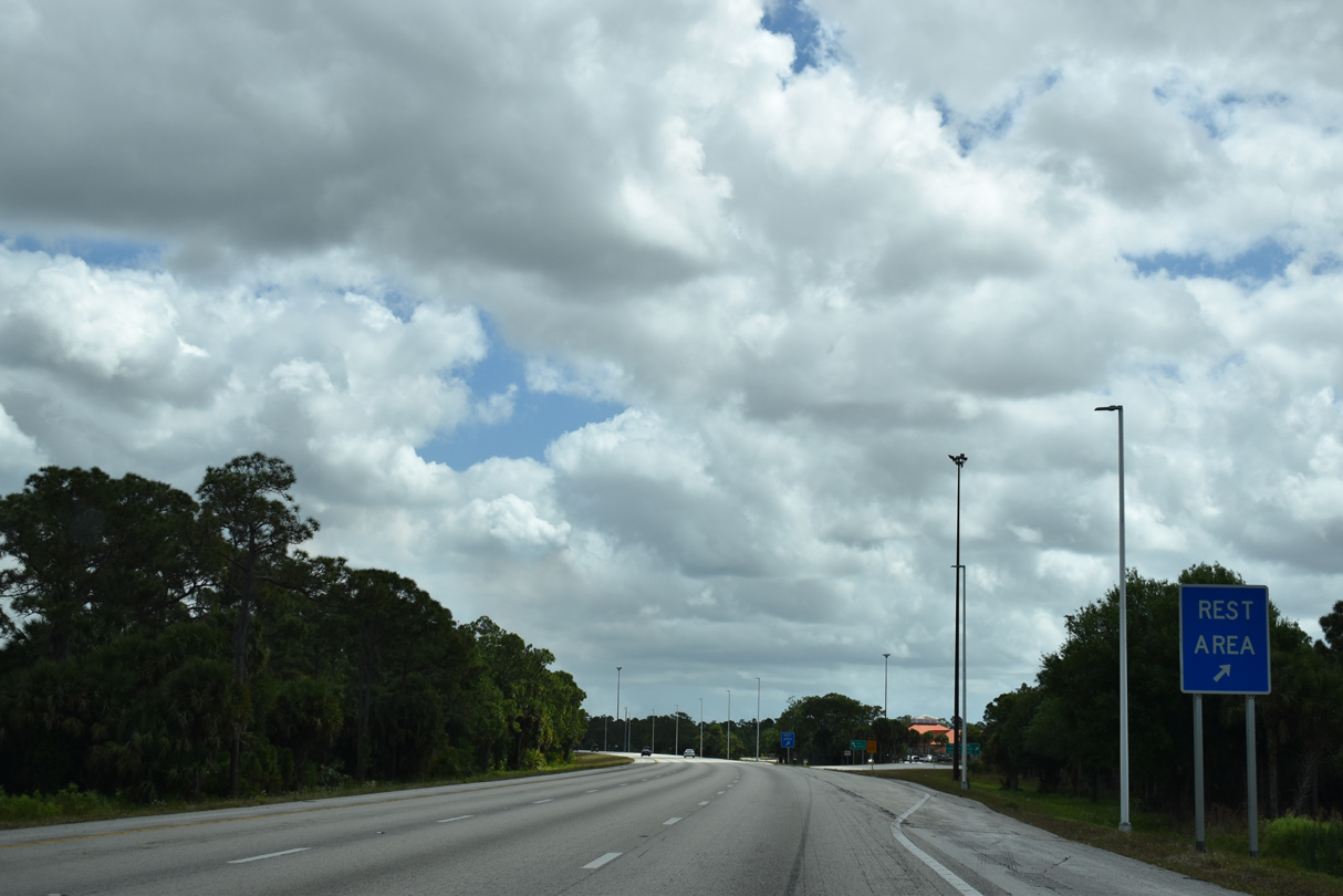
Southbound travelers along I-95 reach the Martin County rest area off-ramp after mile marker 107.
10/18/14
Continuing eastward from the rest area, Interstate 95 passes under Martin County Road 76A (SW 48th Avenue).
03/20/20
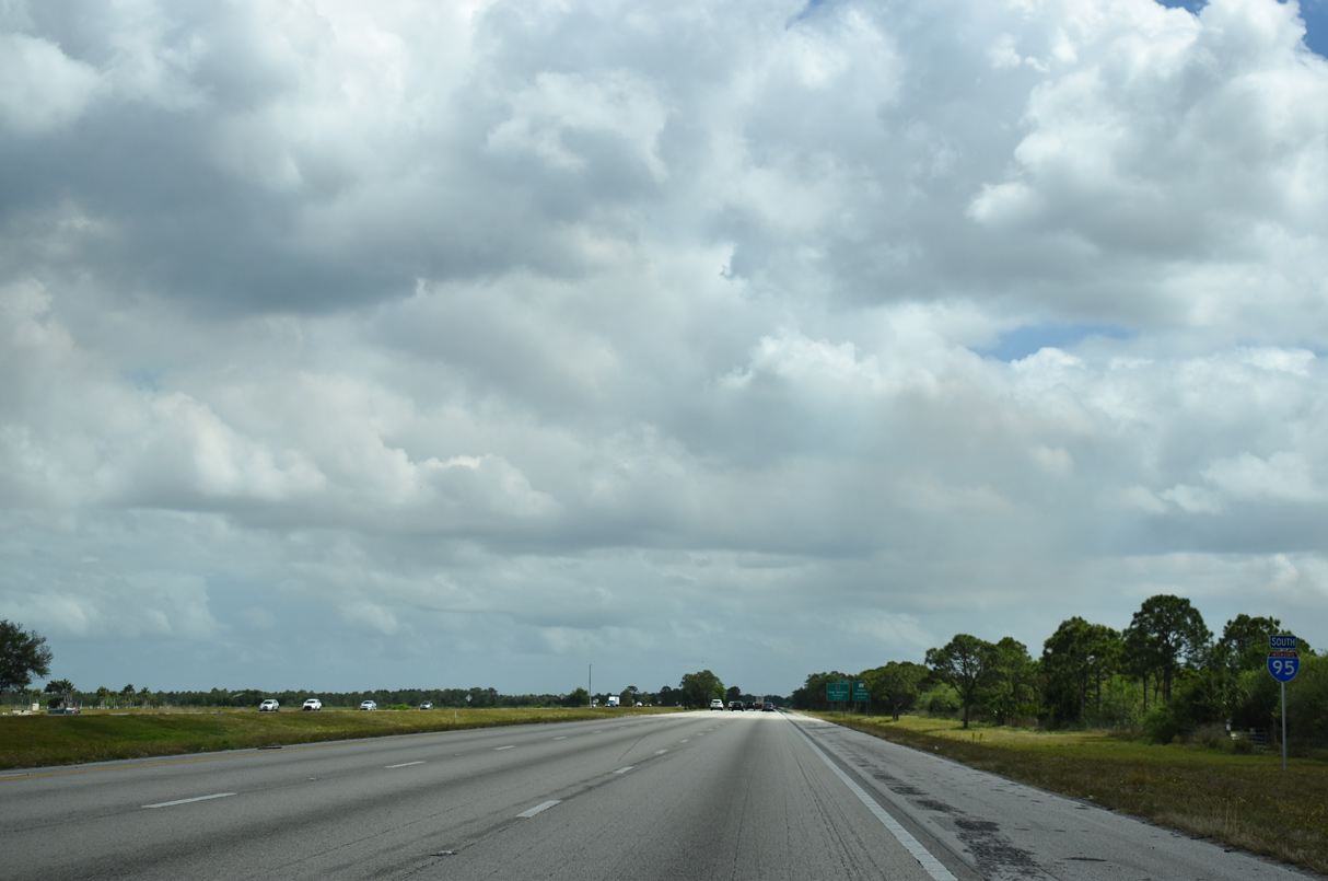
An additional reassurance marker stands along I-95 south between CR 76A and the second crossing of Florida's Turnpike. FDOT recorded 36,900 vehicles per day (vpd) on this section of freeway in 2017.
03/20/20
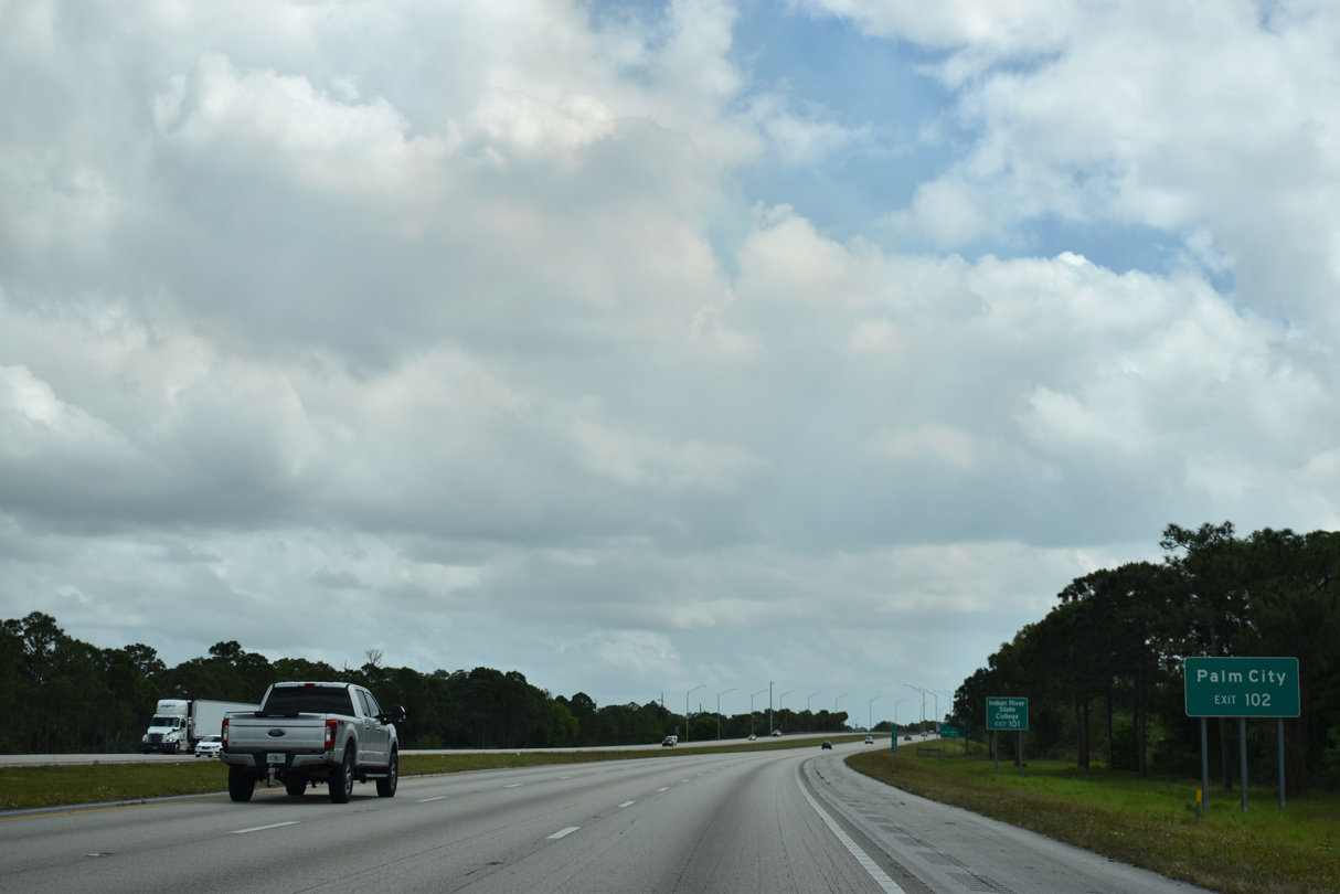
Succeeding exits join Interstate 95 south with unincorporated ares south of Stuart over the course of three miles.
03/20/20
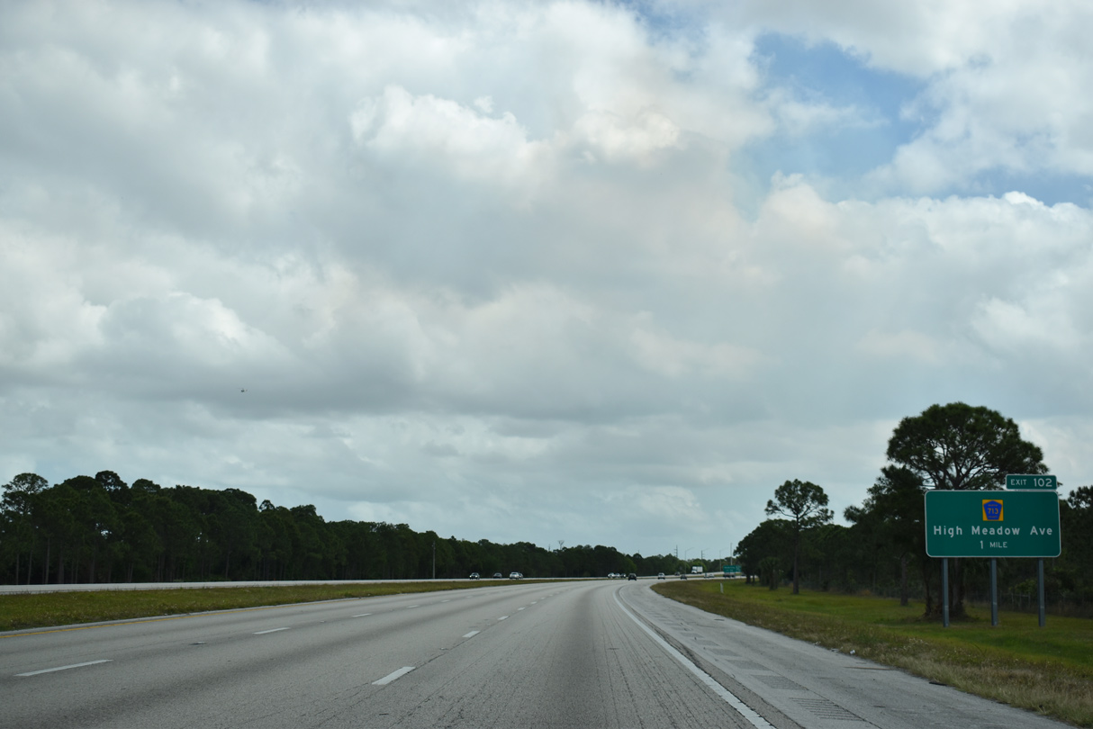
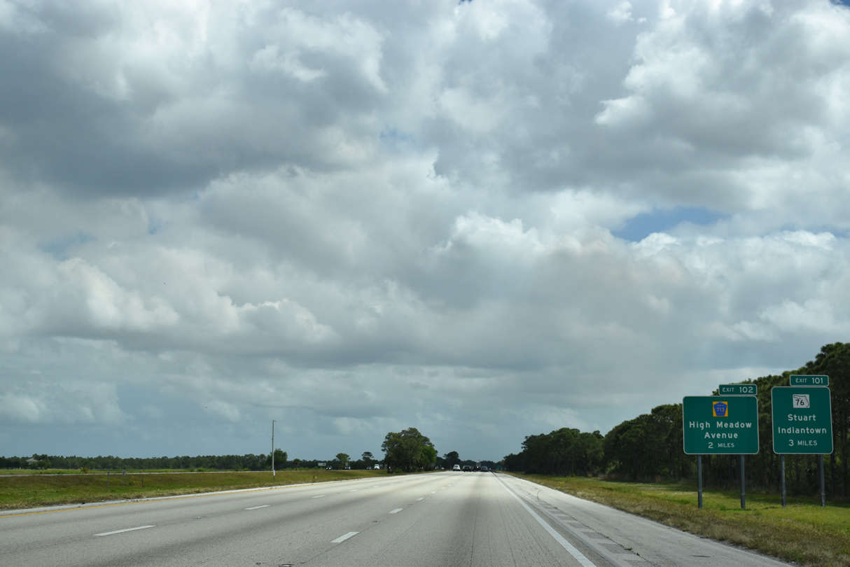
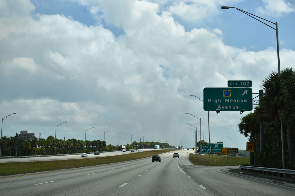
County Road 713 (High Meadow Avenue) stems 3.6 miles north from Exit 102 to CR 714 (Martin Highway) and SR 714 (Martin Downs Boulevard) at Palm City.
03/20/20

The folded diamond interchange (Exit 102) with CR 713 (High Meadow Avenue) north lines the east side of Florida's Turnpike in a half mile.
03/20/20
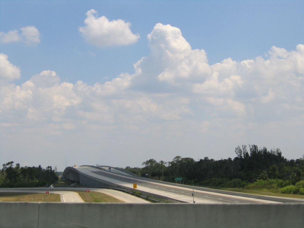
Florida's Turnpike crosses the St. Lucie River south of the Interstate 95 overpasses. While paralleling each other southward, the Turnpike does not meet I-95 directly again until its south end at the Golden Glades Interchange.
05/06/06
Exit 13 loops away from I- 95 southbound for CR 713 (High Meadow Avenue) north. High Meadow Avenue runs between Florida's Turnpike and the Highlands Reserve and Hammock Creek neighborhoods to SR 714.
03/20/20
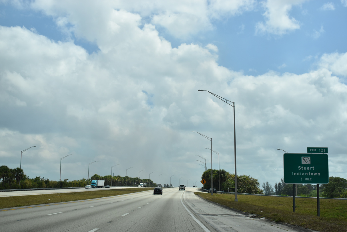
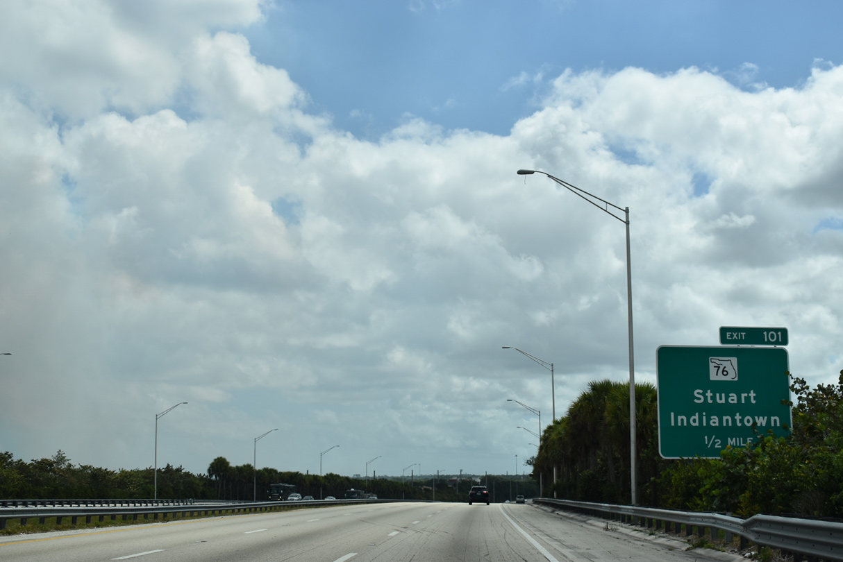
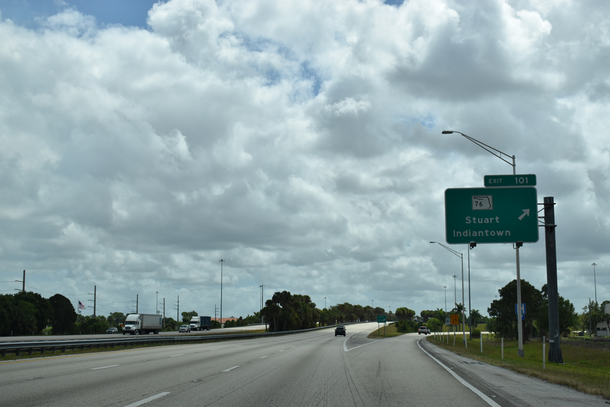
Interstate 95 arcs southward across St. Lucie Canal ahead of the parclo interchange (Exit 101) with SR 76 (Kanner Highway).
03/20/20
SR 76 (Kanner Highway) meets Interstate 95 along a suburban corridor south to CR 711 near Arundel and north to the Stuart city line at the Veterans Memorial Bridge (CR 714).
03/20/20
SR 76 travels wholly within Martin County along a 31.45 mile course between Port Mayaca (U.S. 98/441) and U.S. 1 and CR A1A near Downtown Stuart.
03/20/20
Downtown Stuart centers around the intersection of Colorado Avenue and Ocean Boulevard, 6.6 miles to the north. Both streets are a part of unsigned CR A1A. Indiantown is a village located 15 miles to the west at the crossroads of SR 76 and SR 710 (Warfield Boulevard).
10/18/14
Martin County Road 708 (Bridge Road) crosses Interstate 95 at a diamond interchange (Exit 96) in three miles.
03/20/20
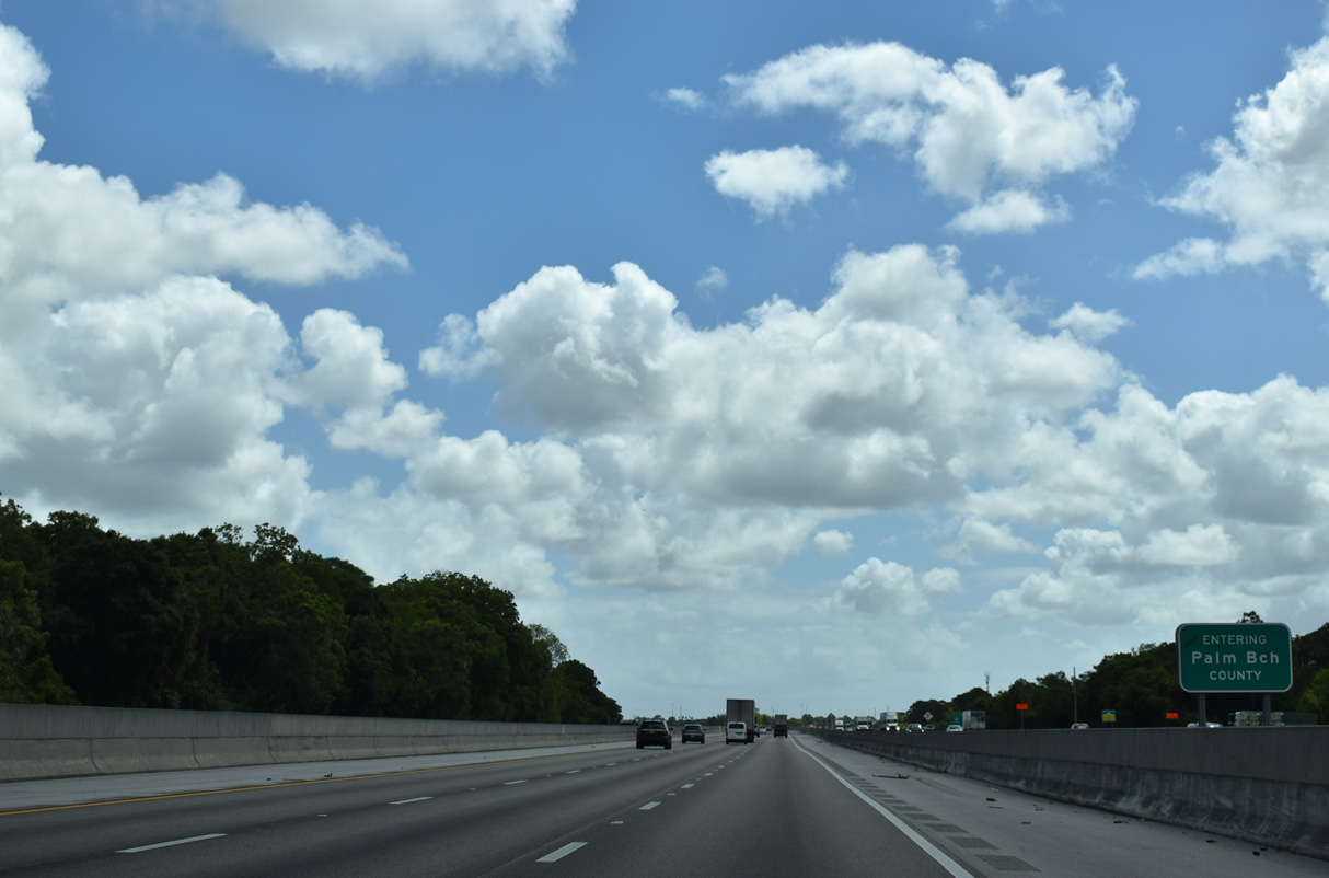
Continuing south into Palm Beach County, I-95 passes through Palm Beach Gardens and Riviera Beach on the 30 mile drive to West Palm Beach.
03/20/20
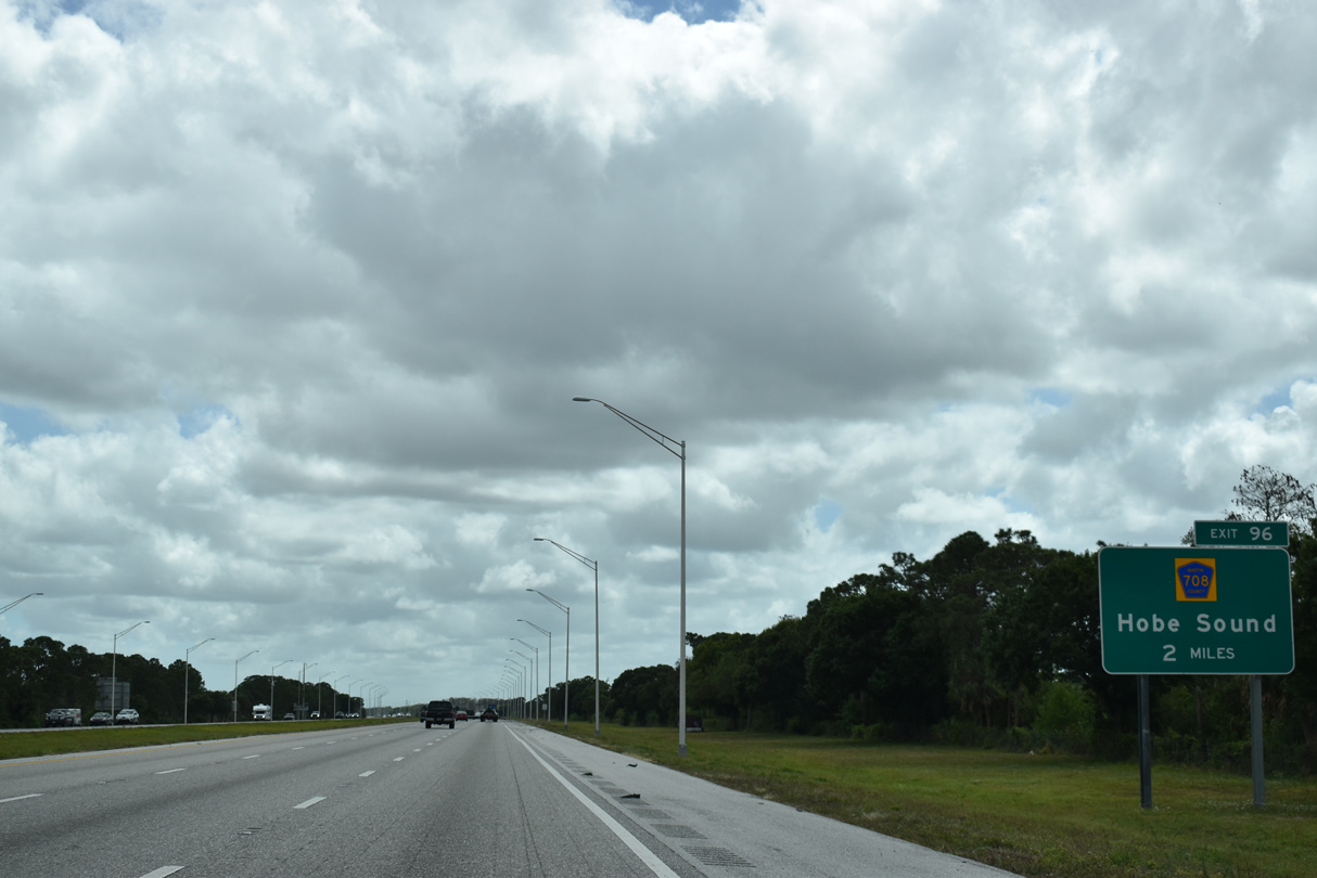
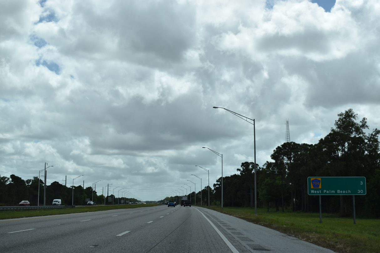
County Road 708 (Bridge Road) is a rural highway linking SR 76 (Kanner Highway) with U.S. 1 at the community of Hobe Sound.
03/20/20
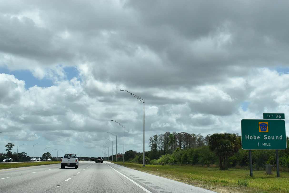
CR 708 (Bridge Road) heads east to U.S. 1 at Hobe South and CR 707 to Jupiter Island. U.S. 1 (Federal Highway) travels south from Hobe South along Johnathan Dickinson State Park.
03/20/20
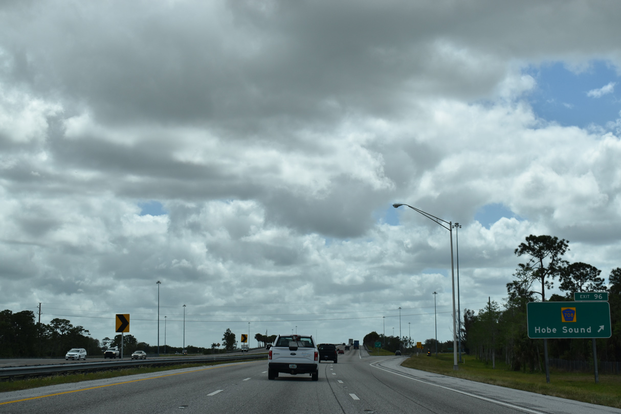
Exit 96 parts ways with southbound Interstate 95 to Bridge Road. County Road 706 travels 11.78 miles overall from SR 76 to SR A1A.
03/20/20

Distance sign posted ten miles from the city of Jupiter and 20 miles from West Palm Beach.
03/20/20
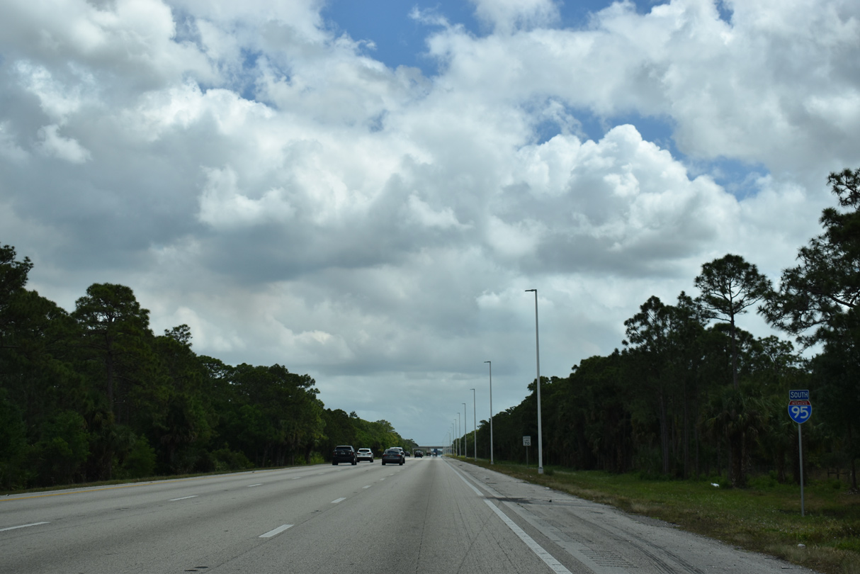
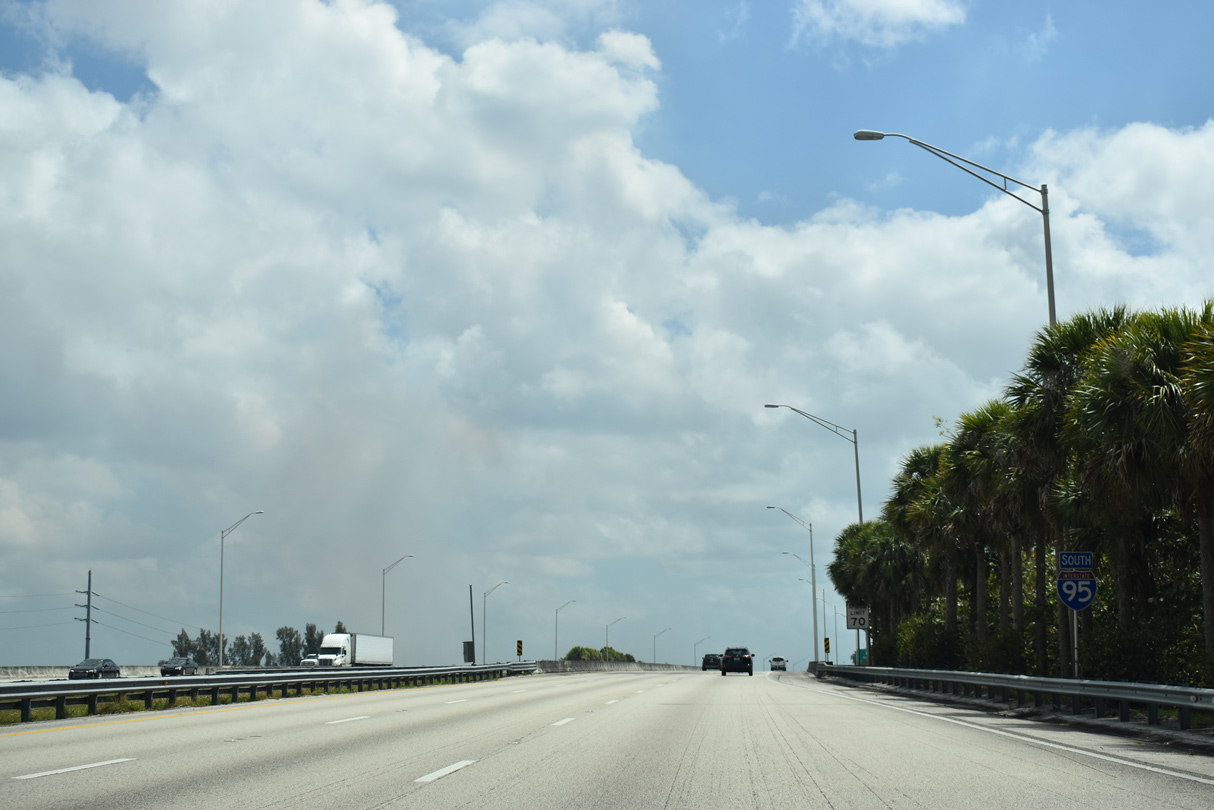
Florida's Turnpike runs directly along the west side of Interstate 95 to the Palm Beach County line.
03/20/20


References:
- I-95 Bridge Deck Replacement Project at Glades Cut Off Road (County Road 709) and Ten Mile Creek.
http://www.d4fdot.com/tcfdot/ I95_Bridge_Deck_Replacement_Project_over_Glades.aspFlorida Department of Transportation District 4 web site. - "I-95 Interchange Opens the Road for St. Lucie West." Palm Beach Post, The (FL), February 11, 1989.
- "St. Lucie West Interchange Open Today." Miami Herald, The (FL), March 3, 1989.
- "Crosstown Parkway opens at Interstate 95." Hometown News (Fort Pierce, FL), April 3, 2009.
- "Vitalia at Tradition homeowners oppose expansion." TCPalm (Treasure Coast Newspapers), October 24, 2018.
- "I-95 Extension Opens on a Quiet Note." Miami Herald, The (FL), April 13, 1985.
- "Becker I-95 exit almost ready." TCPalm (Treasure Coast Newspapers), June 6, 2009.
- "City's fourth interchange along interstate now open." Hometown News (Fort Pierce, FL) Section: St. Lucie County (FL), August 7, 2009.
- "First I-95 Exit in Martin County Opens in 2 Weeks." Miami Herald, The (FL), April 1, 1985.
Photo Credits:
- ABRoads: 03/20/20
- Alex Nitzman: 10/18/14
- Alex Nitzman, Justin Cozart: 05/06/06
Connect with:
Page Updated Wednesday September 30, 2020.