
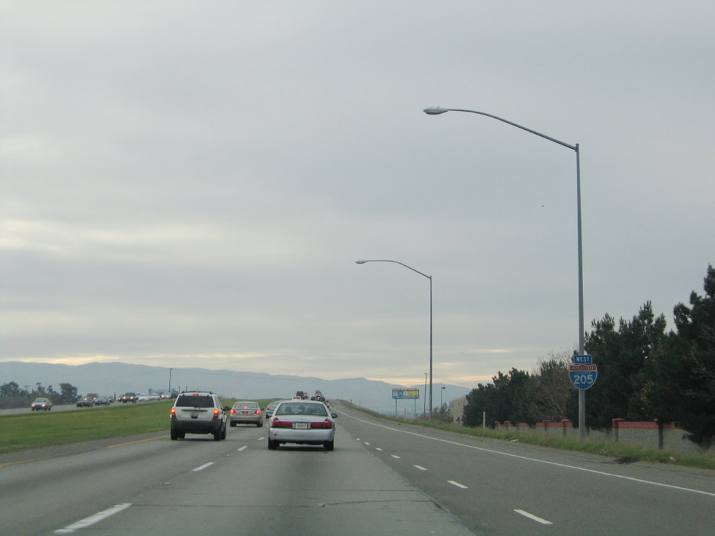
Interstate 205 West

 West
West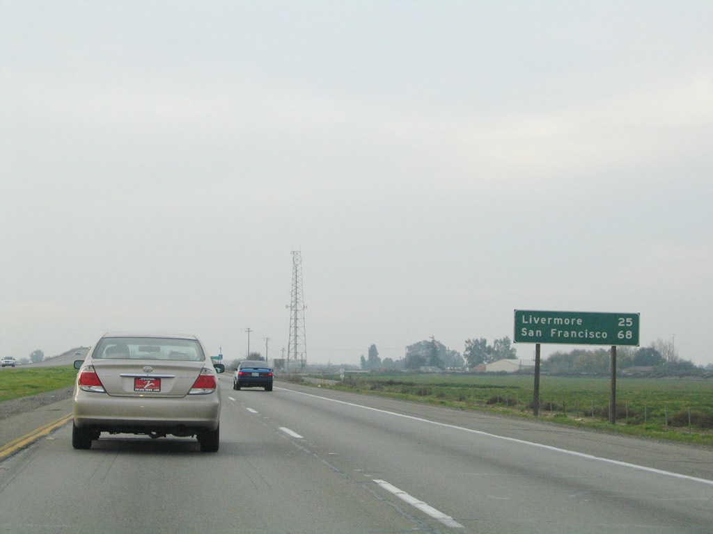
This distance sign provides the distance to two destinations found via Interstate 580: Livermore, the first Bay Area suburb along Interstate 580 west, and San Francisco, which is the western control city for Interstate 80.
11/25/04
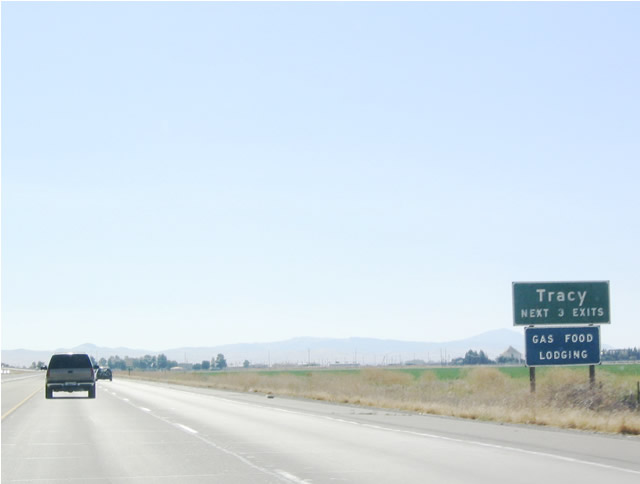
The next three exits serve the city of Tracy. Home to 56,929 people as of the 2000 Census, the city of Tracy is a booming exurb of the San Francisco Bay Area. Many commute daily from Tracy to the employment centers of the Bay Area, including some who commute to the city of San Francisco. Tracy is close to Stockton, Manteca, and Modesto along the SR 99 corridor, yet is also connected to Interstate 5, the Westside Highway.
07/03/04
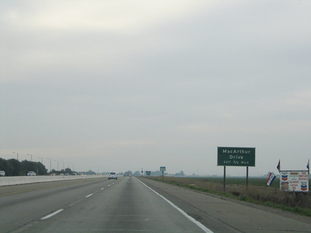
The first exit along westbound Interstate 205 is Exit 9, MacArthur Drive. This exit connects to a Prime Outlets shopping center as well as a park and ride for commuters.
11/25/04
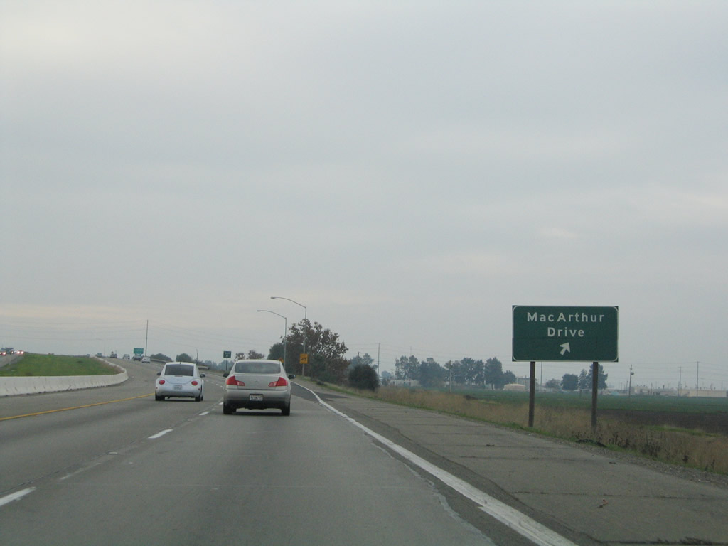
I-205 (Robert T. Monagan Freeway) west reaches Exit 9 to MacArthur Drive south to San Joaquin County Route J-4 (Grant Line Road) and Business Loop I-205 (East 11th Street).
11/25/04
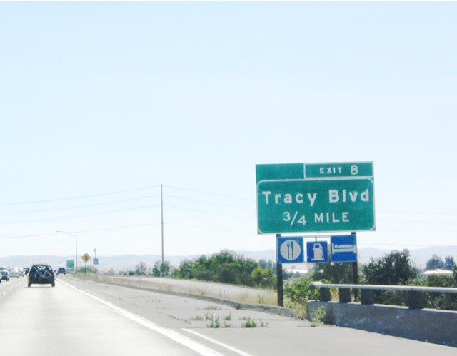
The next exit along westbound Interstate 205 is Exit 8, San Joaquin County J-13 (Tracy Boulevard) and Central Boulevard, three-quarters of a mile. San Joaquin County J-13 originates in downtown Tracy and travels north along Tracy Boulevard, ending at its junction with San Joaquin County J-2 (Corral Hollow Road). It is a fairly short signed county route and is one of many found in the Central Valley.
07/03/04
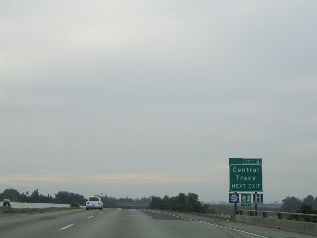
Westbound Interstate 205 approaches Exit 8, San Joaquin County J-13 (Tracy Boulevard) and Central Boulevard, next right. This exit leads south into Tracy, and the county route ends at Business Loop I-205 (Eleventh Street).
11/25/04
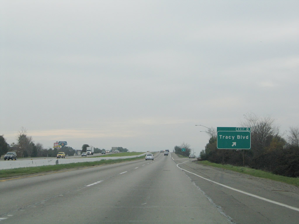
Westbound Interstate 205 reaches Exit 8, San Joaquin County J-13 (Tracy Boulevard).
11/25/04
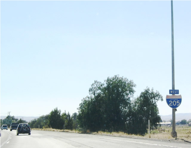
This west Interstate 205 shield is placed after the on-ramp from San Joaquin County J-13 (Tracy Boulevard).
07/03/04
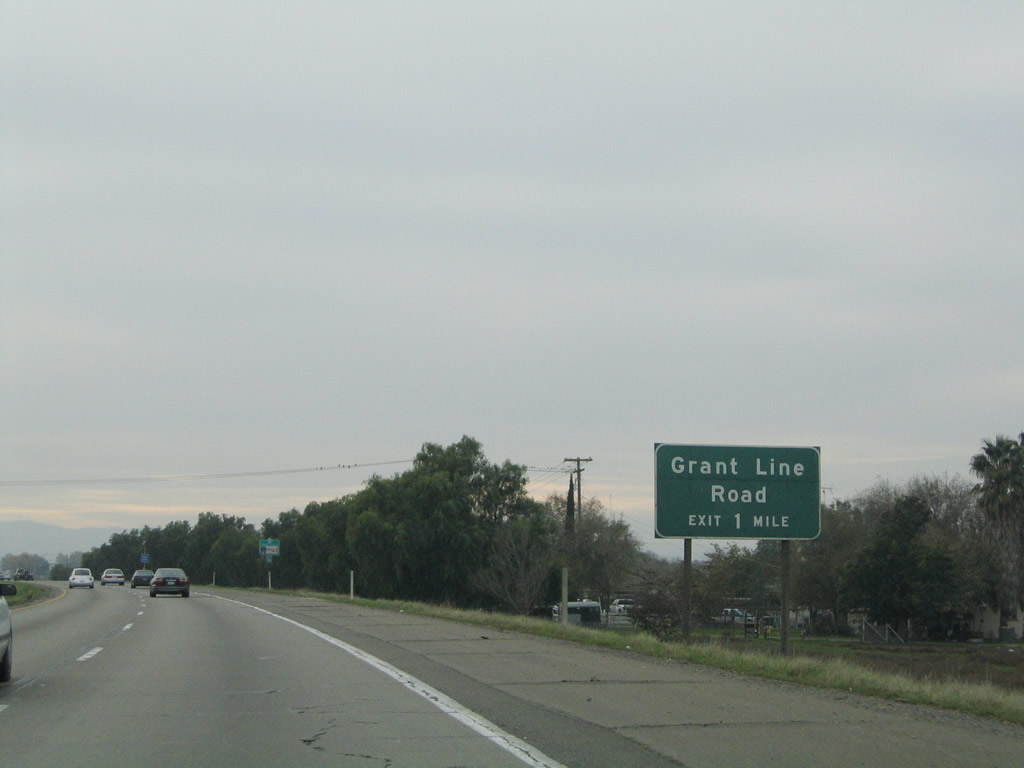
Westbound Interstate 205 approaches Exit 6, San Joaquin County J-4 (Grant Line Road), one mile. This exit also connects to San Joaquin County J-2 via San Joaquin County J-4 (Grant Line Road) east. San Joaquin County J-2 travels north along Coral Hollow Road to SR 4 in the Delta and south to Interstate 580. At Interstate 580, San Joaquin County J-2 turns west, passes through Corral Hollow, and emerges as Alameda County Route J-2 in Livermore, where that county route ends.
11/25/04
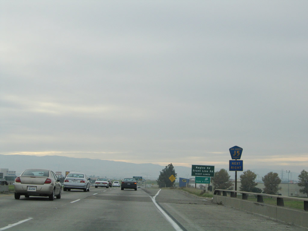
To add to the confusion of the three county routes that converge on Tracy (J-2, J-4, and J-13), this J-5 county route shield was placed in error. It should be San Joaquin County J-4, not J-5. San Joaquin/Sacramento County J-5 is north-south Jack Tone Road from SR 99 at Ripon north to SR 104 at Clay.
11/25/04
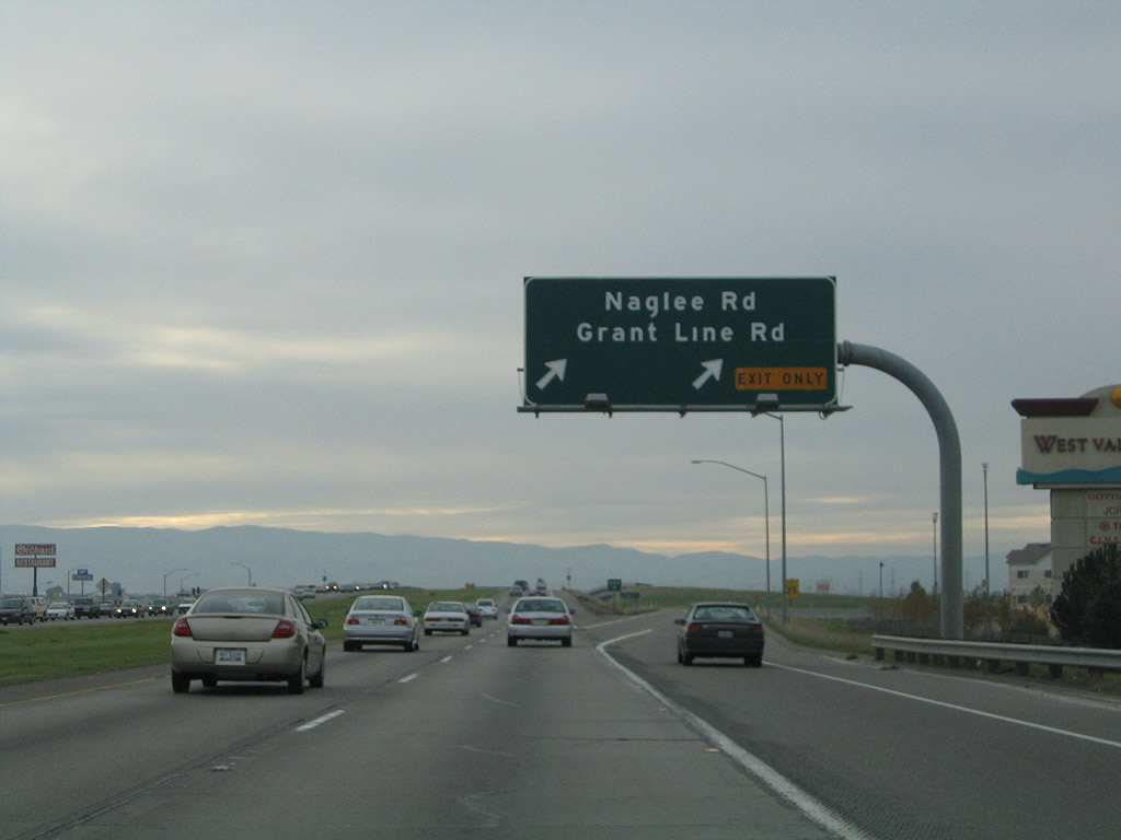
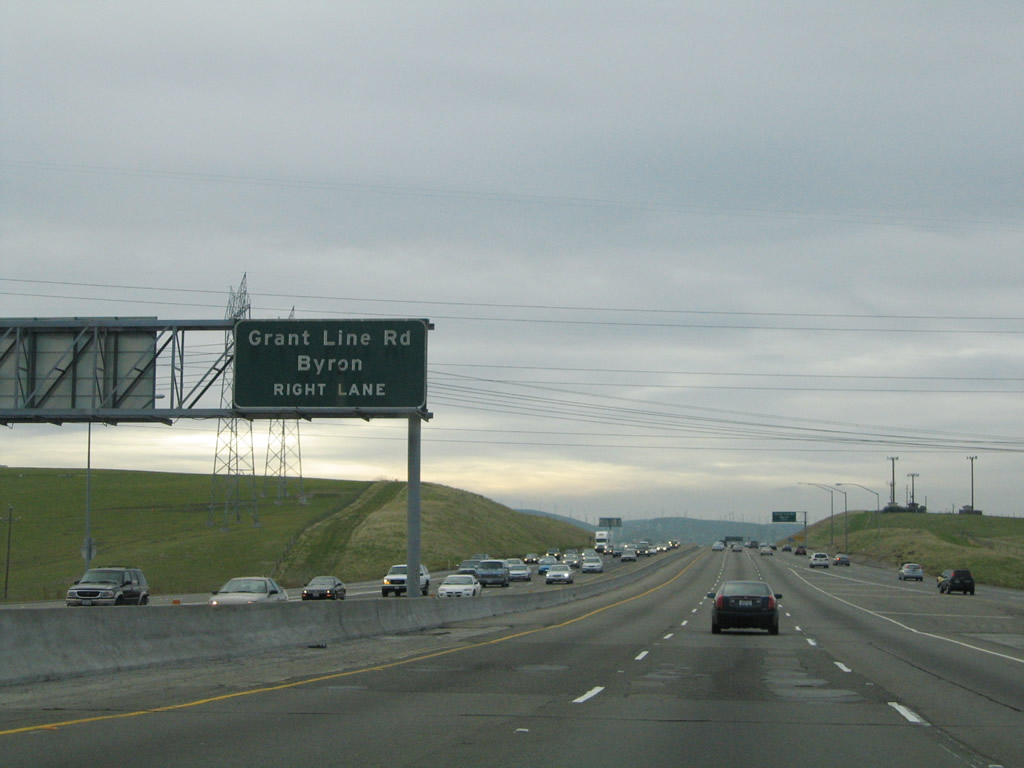
Westbound Interstate 205 reaches Exit 6, Naglee Road west to San Joaquin County J-4 (Grant Line Road). At this interchange, San Joaquin County J-4 travels west on Grant Line Road, then shifts onto Byron-Bethany Road northwest to Byron and its terminus as Contra Costa County J-4 at SR 4 near Discovery Bay.
07/03/04
An Interstate 205 west reassurance shield is posted after Exit 6.
11/25/04
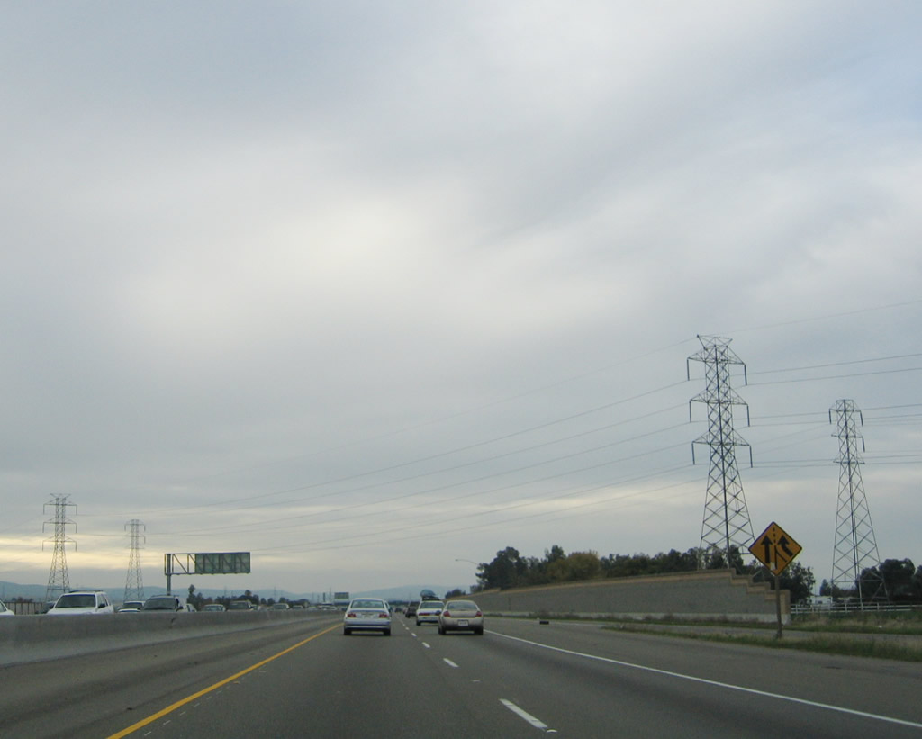
Between Exit 6 and Exit 2, traffic from Business Loop I-205 (Eleventh Street) merges onto westbound Interstate 205. There is no access from Interstate 205 west onto Business Loop I-205 east, since this interchange (Exit 4) is a directional interchange. Note the overhead power lines, which cross this region by bringing power from the main north-south Path 15 transmission corridor to Bay Area and Central Valley communities. Path 15 itself comes into view once Interstate 205 merges with Interstate 580.
11/25/04
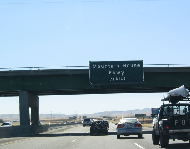
The next exit along westbound Interstate 205 is Exit 2, Mountain House Parkway, 0.75 mile. This is the last exit before Interstate 205 transitions onto westbound Interstate 580.
07/03/04
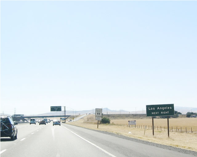
A somewhat odd sign, this roadside sign advises that Mountain House Parkway south may be used to reach Interstate 580 east to Interstate 5 south to ... Los Angeles!
07/03/04
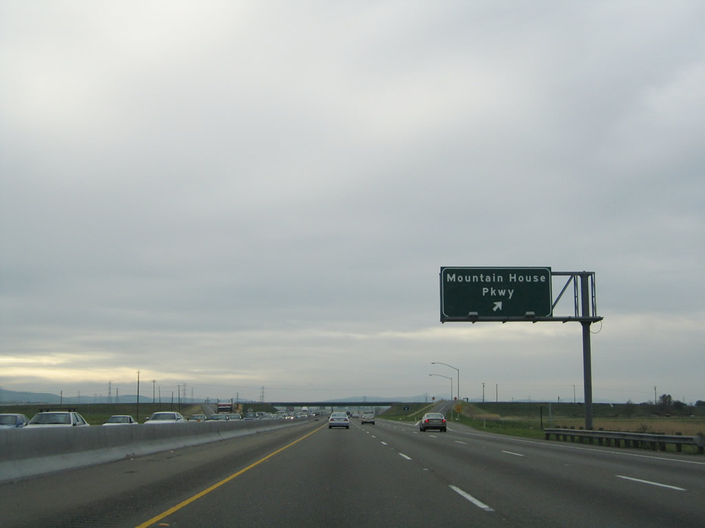
Westbound Interstate 205 reaches its final exit at Exit 2, Mountain House Parkway.
11/25/04
This Interstate 205 west reassurance shield is posted after the Mountain House Parkway interchange. It is the final shield along westbound.
11/25/04
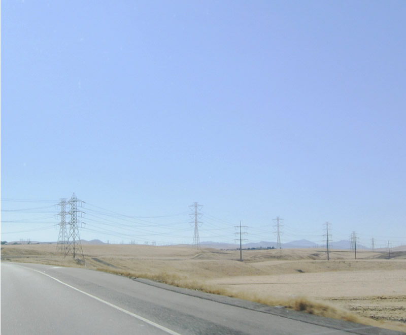
For the last mile of Interstate 205 and the following mile of Interstate 580 pass under a variety of power lines that form the main power transmission corridor for the length of the Golden State. The first of these lines are these, which appear after the Mountain House Parkway exit.
07/03/04
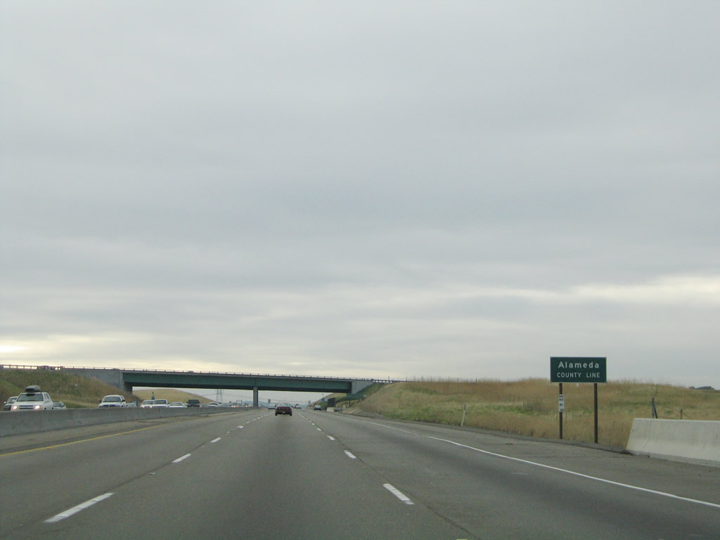
Westbound Interstate 205 departs from San Joaquin County enters Alameda County.
11/25/04
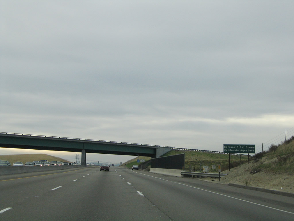
Interstate 205 crosses the California Aqueduct as it approaches its merge with Interstate 580. There is no access to Interstate 580 east; all traffic will connect to Interstate 580 west.
11/25/04
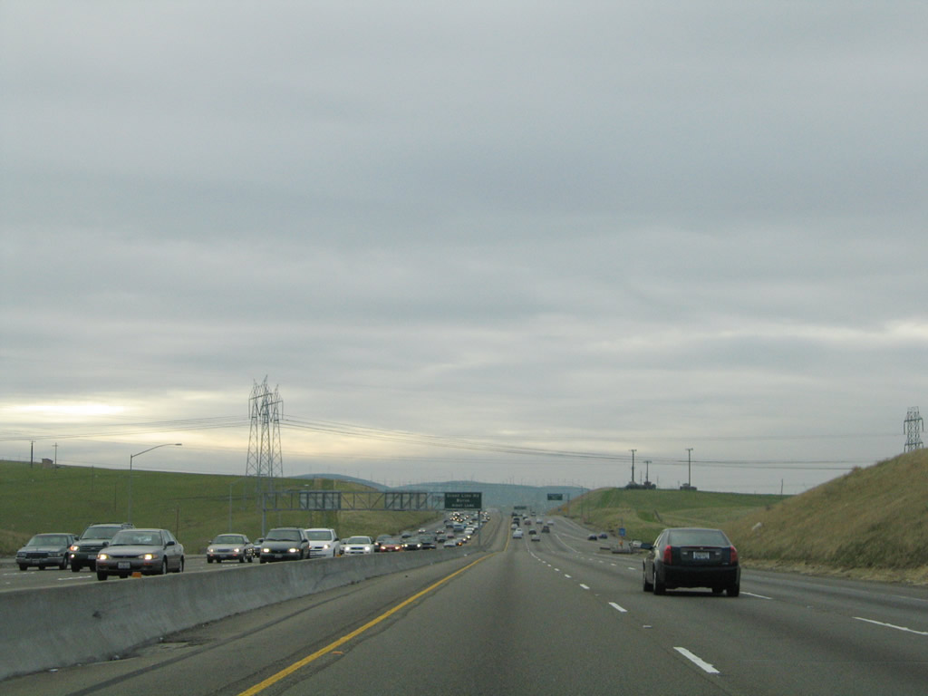
The two Path 15 power lines come into view as Interstate 205 passes under the Interstate 580 transition ramp.
11/25/04
The lanes of westbound Interstate 205 form the three lanes of westbound Interstate 580. Traffic from westbound Interstate 580 merge onto Interstate 205 from the west, and Interstate 205 comes to its end here. Unlike the eastern terminus, there is no end sign for Interstate 205 along westbound.
11/25/04
Photo Credits:
- AARoads: 11/25/04
- Andy Field: 07/03/04, 11/25/04
Connect with:
Page Updated Saturday April 07, 2018.