
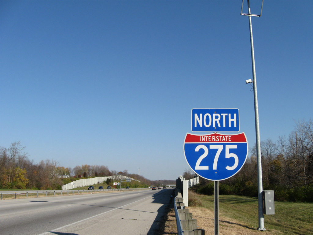
Interstate 275 North - Kentucky to Sharonville

 North
North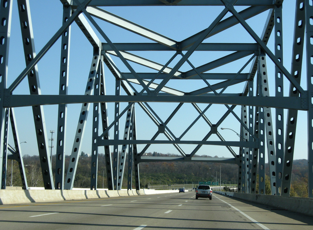
11/08/09
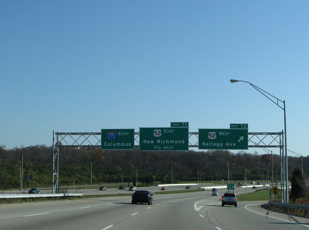
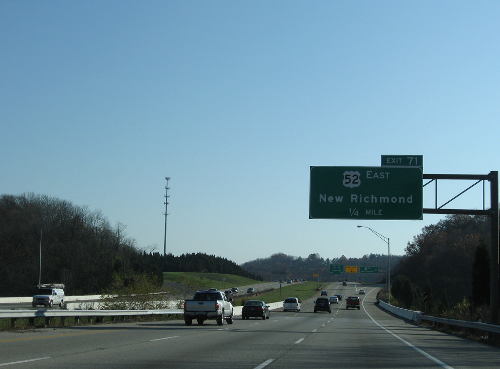
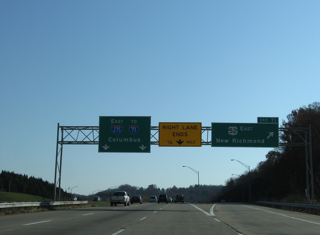
U.S. 52 (Kellogg Avenue) joins I-275 east from the California neighborhood along the Ohio River in Cincinnati.
11/08/09
11/08/09
 East
East
11/08/09
11/08/09
11/08/09
11/08/09
11/08/09
East
11/08/09
11/08/09
11/08/09
11/08/09
11/08/09
11/08/09

11/08/09
11/08/09
11/08/09
North
11/08/09
11/08/09
11/08/09
11/08/09
11/08/09

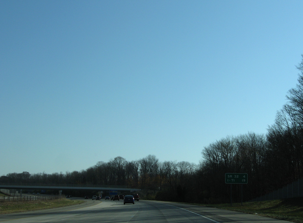
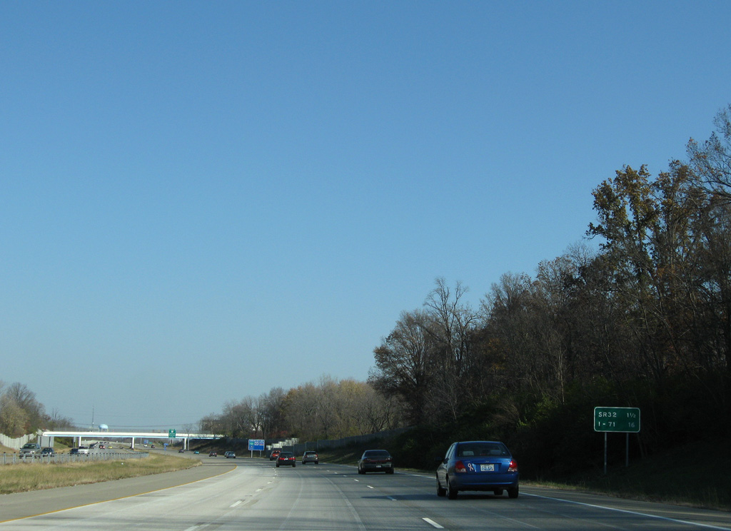
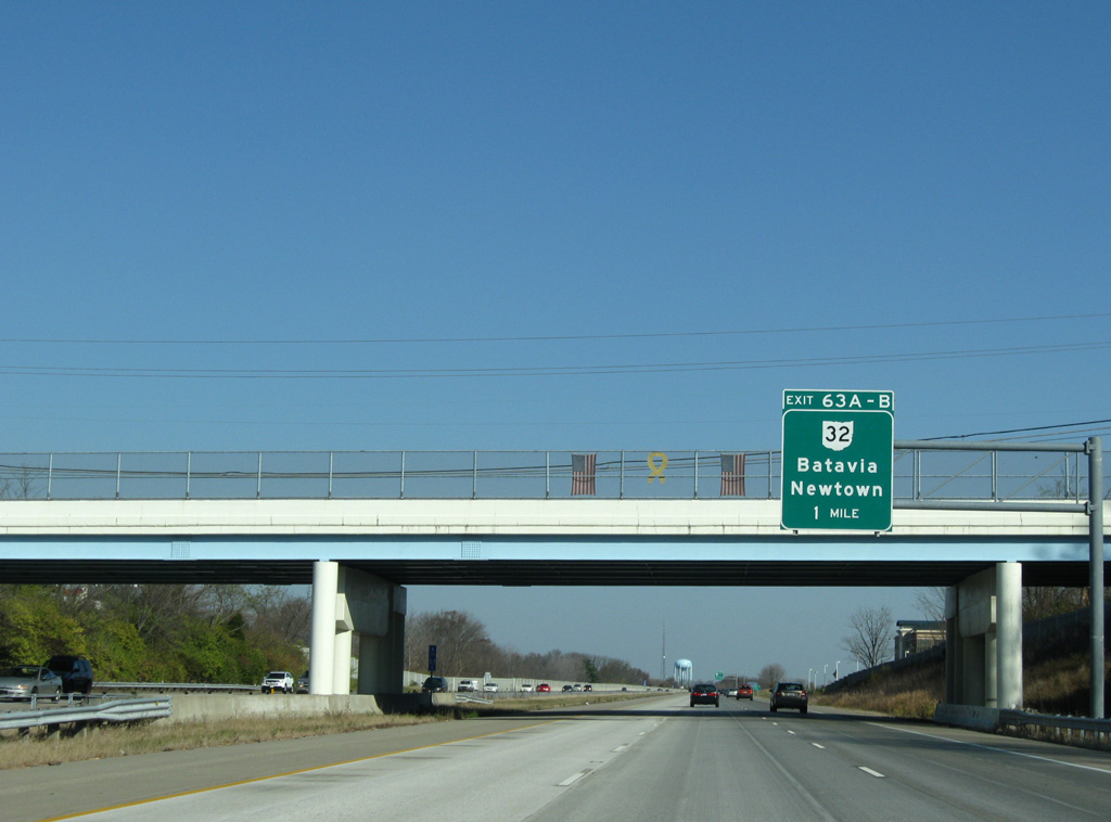
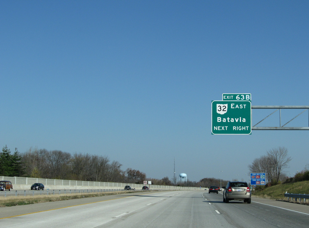
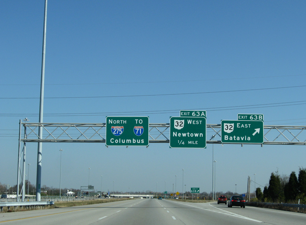
The loop ramp from I-275 north to SR 32 at Mt. Carmel was removed during reconstruction of the interchange at Exit 63 in 2014.
11/08/09
11/08/09
11/08/09
11/08/09
11/08/09
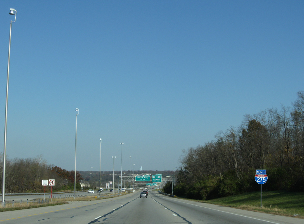
Closed in 1983, abandoned rest areas line both sides of Interstate 275 by mile marker 60.1
11/08/09
11/08/09
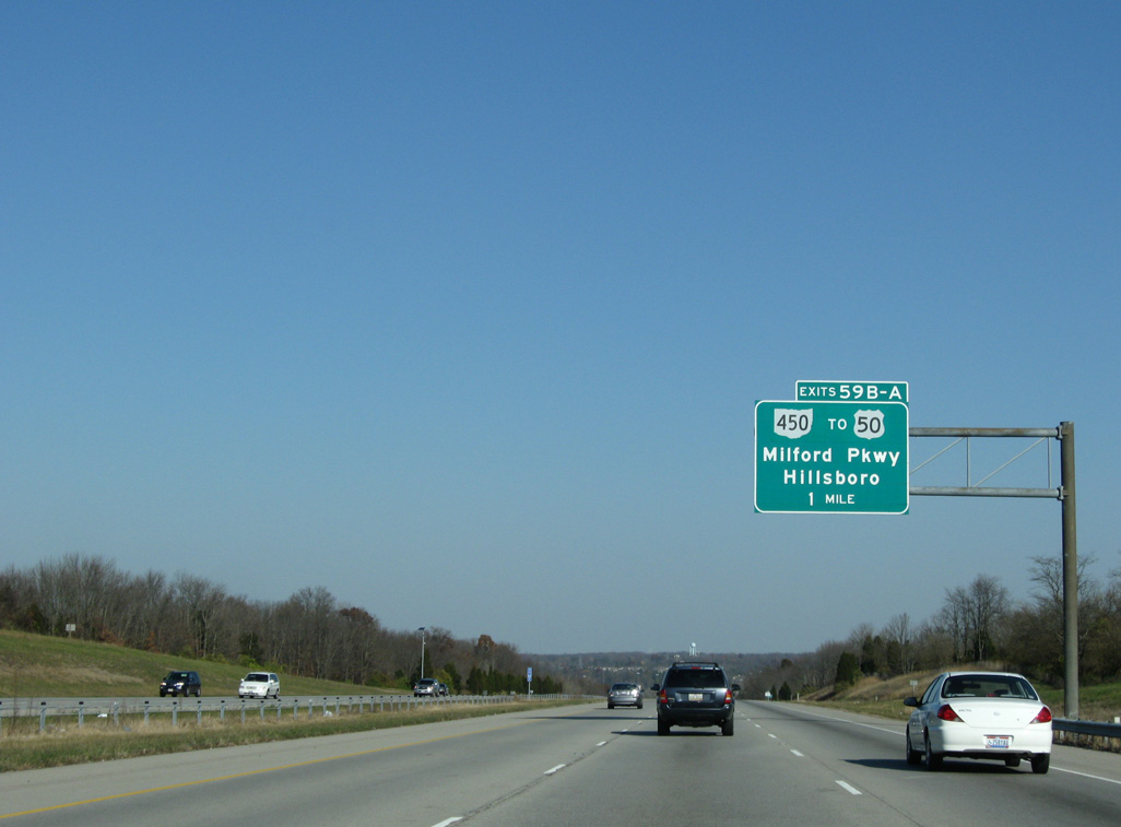
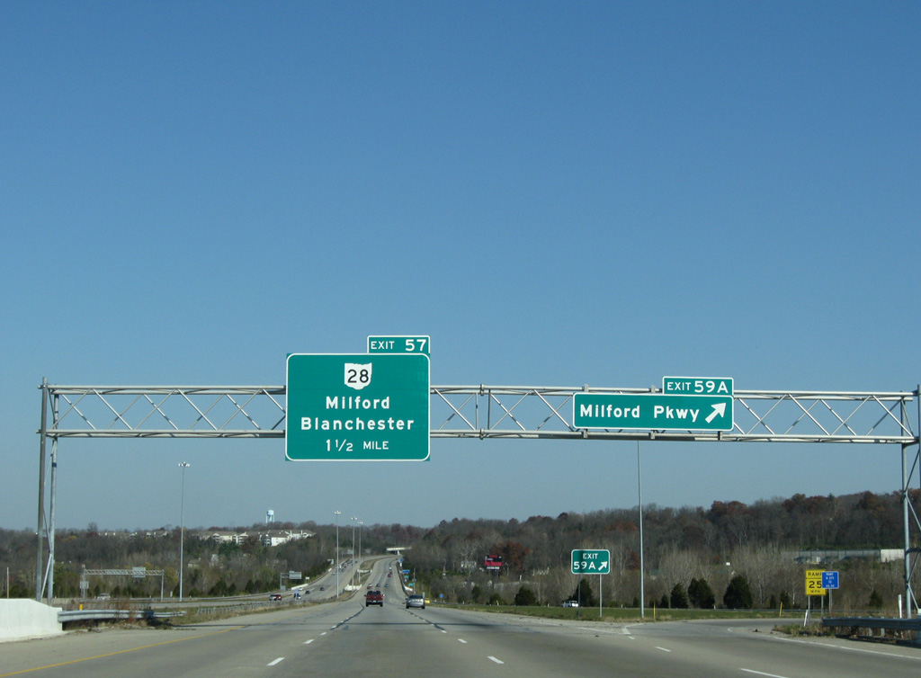
I-275 continues from the former rest areas by the Polo Fields subdivision to a three quarter cloverleaf interchange (Exit 59) with SR 450 (Milford Parkway).
11/08/09
11/08/09
The loop ramp from SR 450 east to I-275 was removed from the forthcoming exchange.
11/08/09
11/08/09
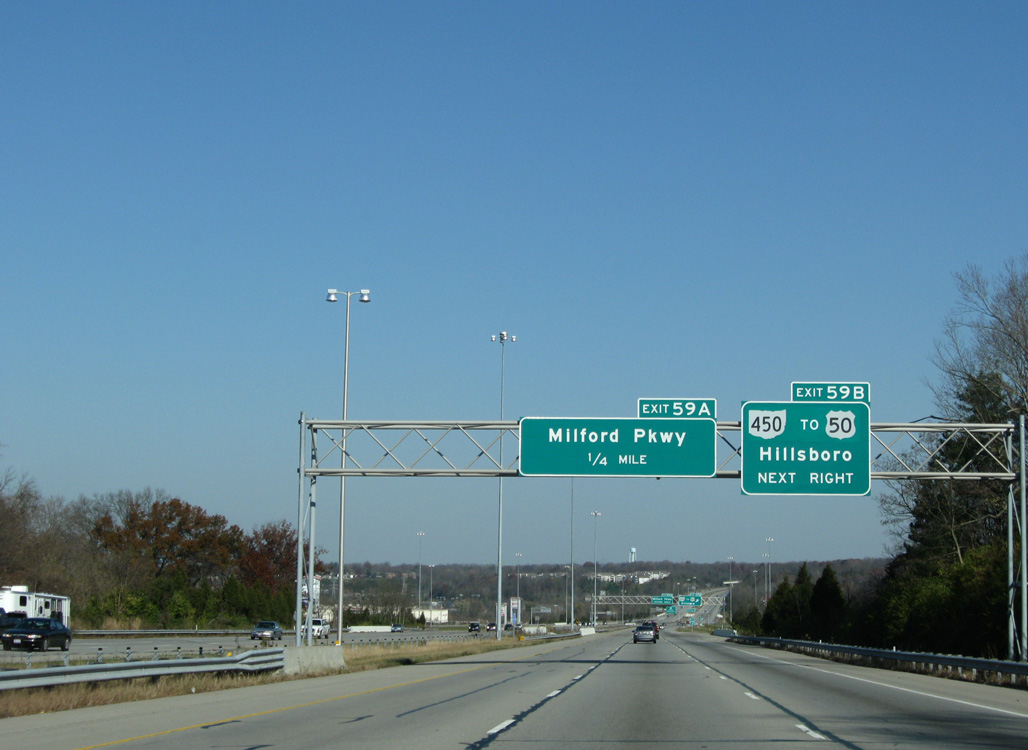
SR 450 constitutes a 1.06 mile long expressway linking I-275 east with U.S. 50 at Eastman Drive and the TechneCenter business park.
11/08/09
11/08/09
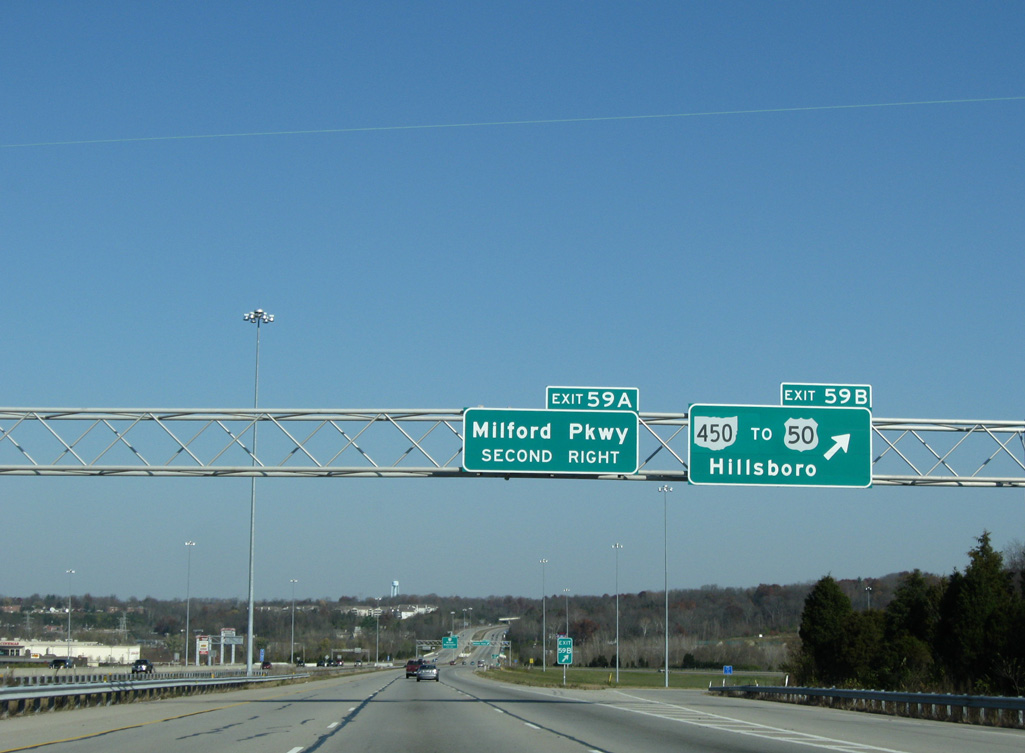
U.S. 50 heads south from the town of Milford to SR 450 (Milford Parkway). Leaving the Cincinatti area, U.S. 50 travels to Hillsboro and Chillicothe in south central Ohio.
11/08/09
11/08/09
U.S. 50 arcs northwest onto Main Street through Milford. Milford Parkway extends north from SR 450 at the River's Edge at Milford retail complex to Finley Ray Park and U.S. 50 at SR 131 in Milford.
11/08/09
11/08/09
11/08/09
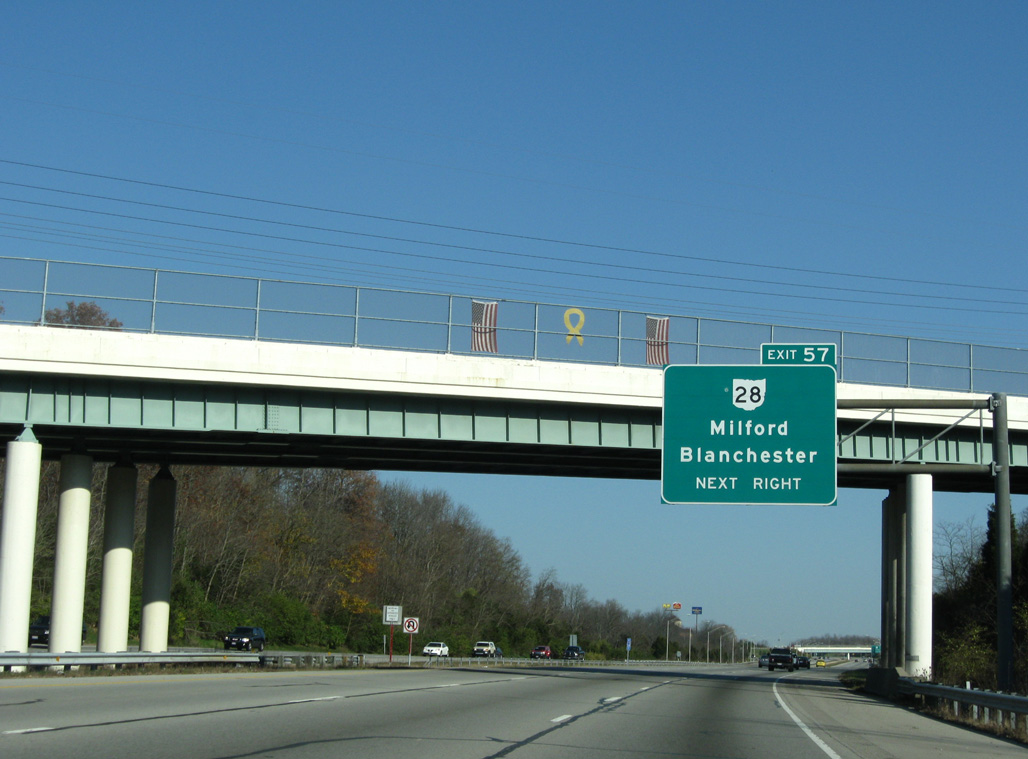
SR 131 (Milford Parkway) spans I-275 east toward Williams Corners ahead of the six-ramp parclo interchange (Exit 57) with SR 28.
11/08/09
11/08/09
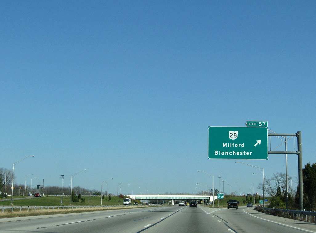
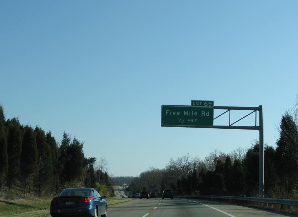
SR 28 (Main Street) branches east from U.S. 50 (Lila Avenue) in Milford to meet I-275 by the community of Mulberry. 71 miles in length, SR 28 heads to Goshen, Greenfield and U.S. 50 outside Chillicothe.
11/08/09
11/08/09
West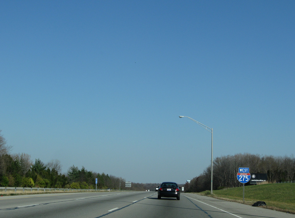
Interstate 275 curves northwest toward Montgomery and Blue Ash.
11/08/09
11/08/09
11/08/09

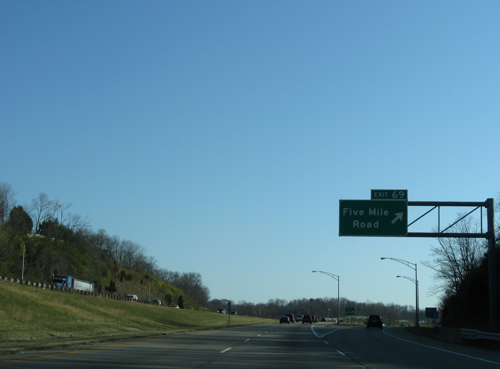
A diamond interchange (Exit 54) next joins Interstate 275 with Wards Corner Road in unincorporated Clermont County near Miamiville.
11/08/09
11/08/09
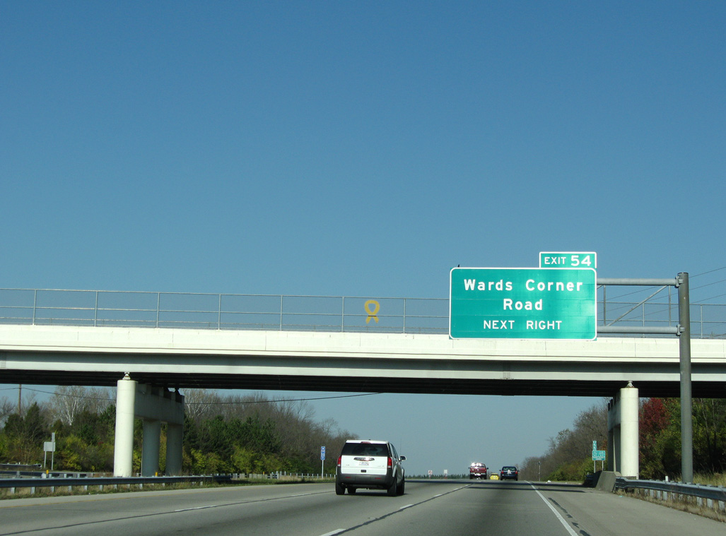
Loveland-Milford Road crosses I-275 a half mile from Exit 54. Wards Corner Road meanders southwest to SR 126 (Center Street) in Miamiville.
11/08/09
11/08/09

Wards Corner Road continues north from Exit 54 to SR 48 (Oakland Road) in eastern Loveland.
11/08/09
11/08/09
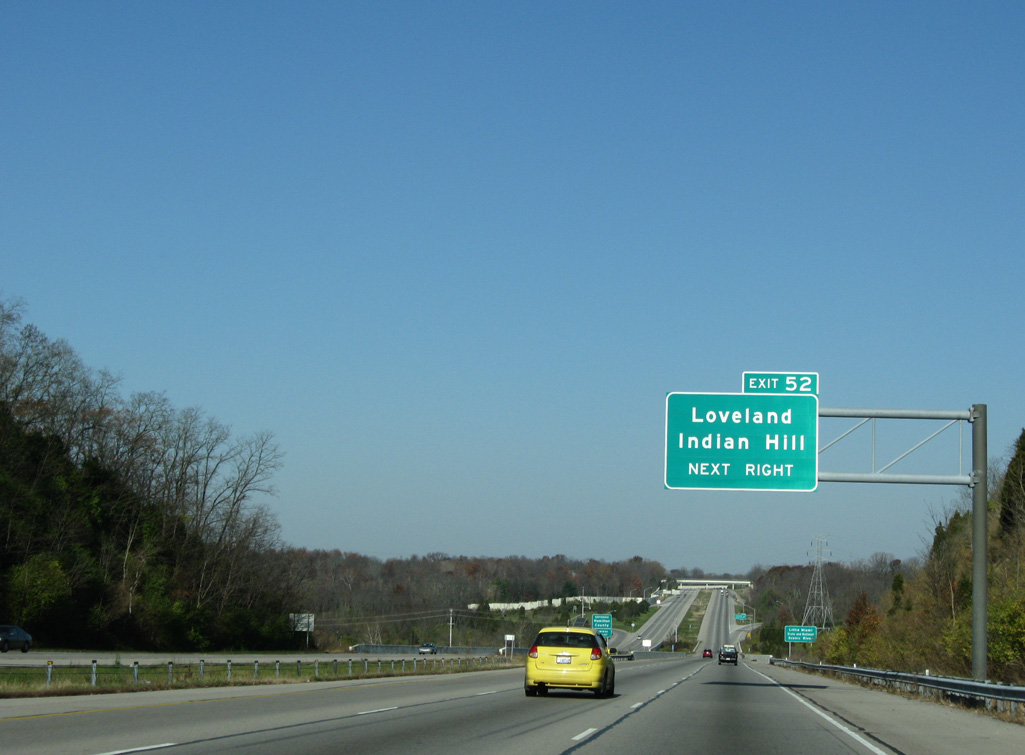
Interstate 275 lowers to the Little Miami River at Lake Isabella Park ahead of the folded diamond interchange (Exit 52) with Loveland Madeira Road.
11/08/09
11/08/09
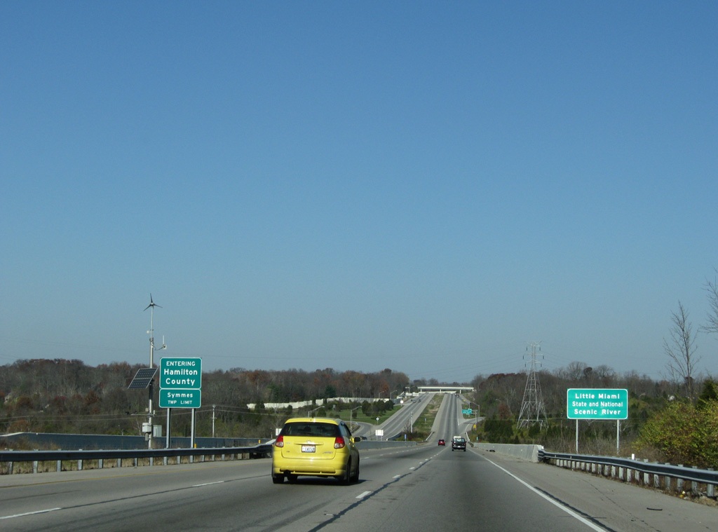
Little Miami River is designated a State and National Scenic River. The river flows southward from the Springfield and Xenia area into the Ohio River at south Cincinnati.
11/08/09
11/08/09
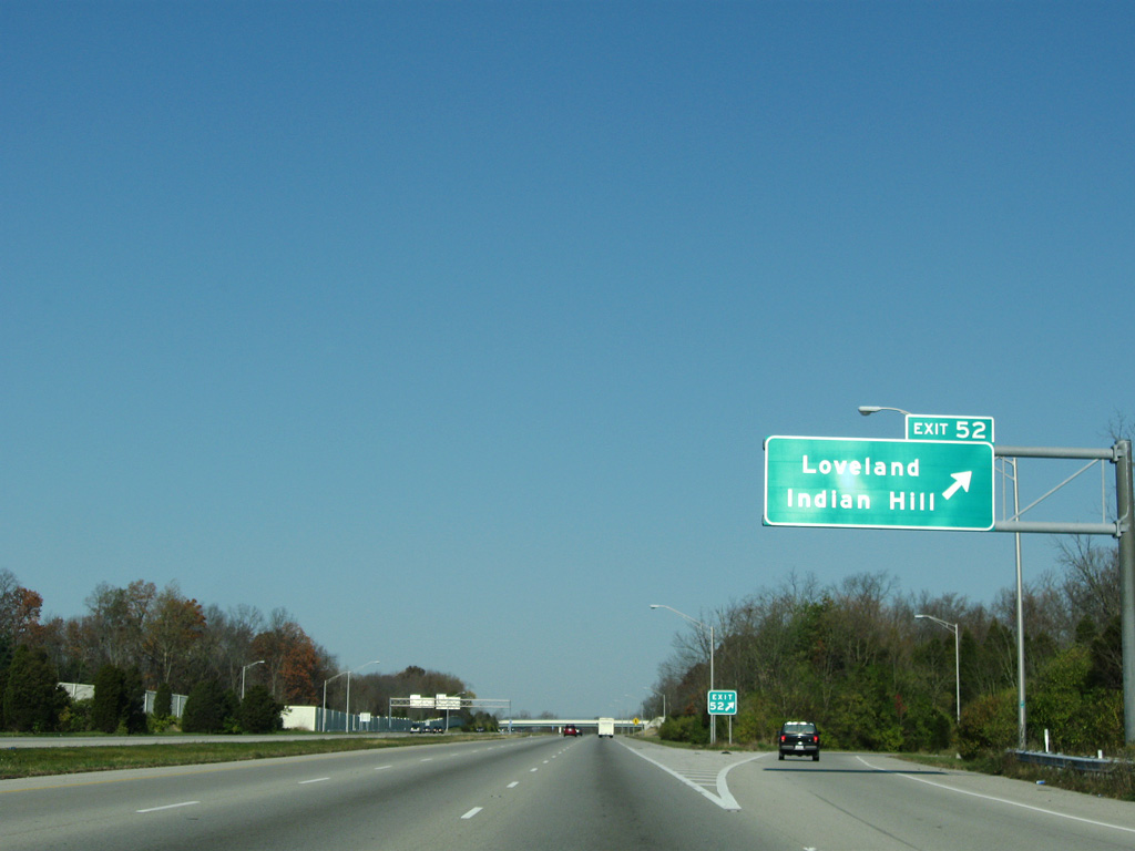
Loveland Madeira Road follows the Little Miami River northeast from SR 126 at Remington near the village of Indian Hill to Loveland Avenue near Downtown Loveland.
11/08/09
11/08/09
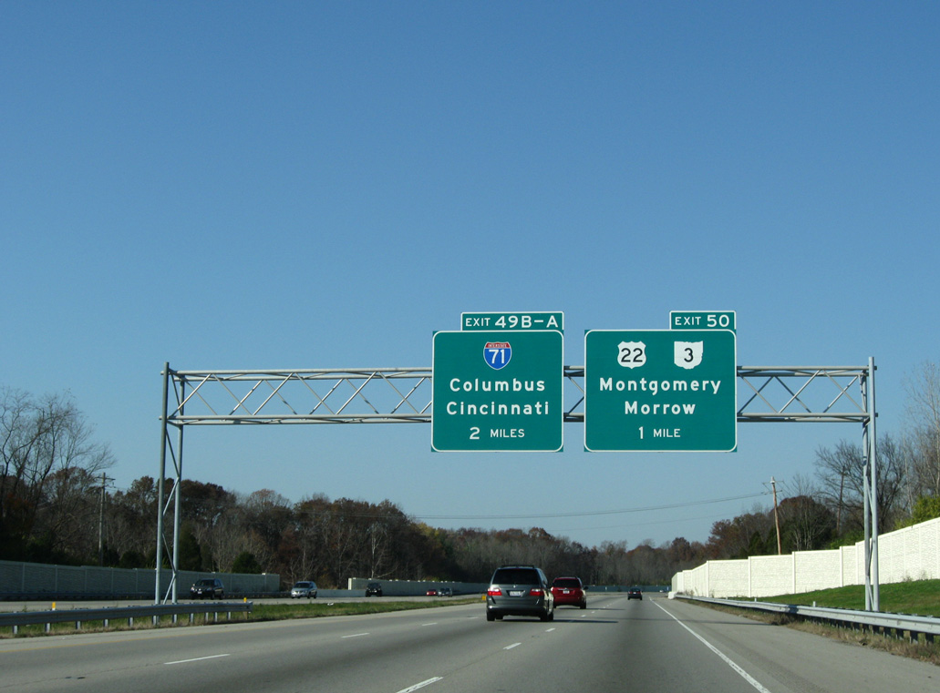
Advancing northwest, I-275 converges with U.S. 22/SR 3 (Montgomery Road) at Exit 50. U.S. 22/SR 3 overlap 112 miles northward from Cincinnati to Washington Court House.
11/08/09
11/08/09
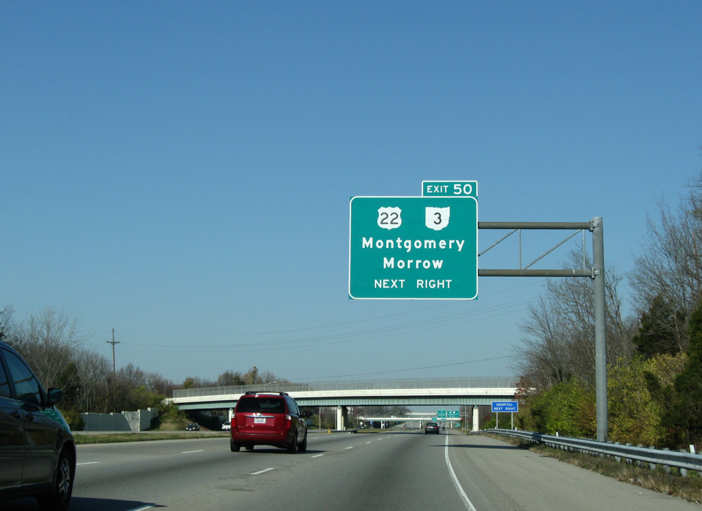
U.S. 22/SR 3 (Montgomery Road) run south from the parclo interchange at Exit 50 through the city of Montgomery to SR 126 (Cross County Highway).
11/08/09
11/08/09
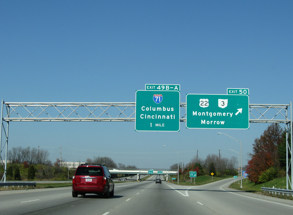
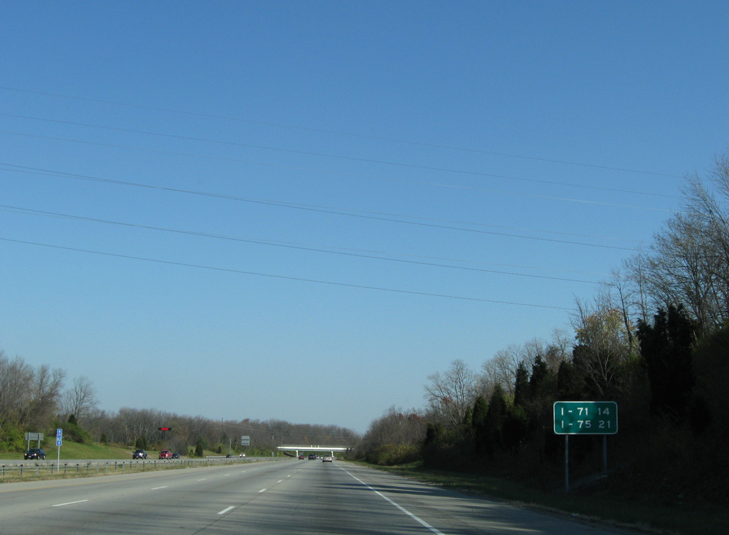
U.S. 22/SR 3 parallel I-71 northeast to Morrow and Wilmington.
11/08/09
11/08/09
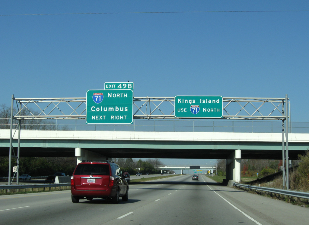
Interstate 71 joins the Cincinnati metropolitan area with the capital city of Columbus and Cleveland to the northeast. Kings Island theme park lies seven miles to the northeast just off I-71.
11/08/09
11/08/09

A half turbine interchange joins I-275 with I-71 at Exit 49. I-71 runs between Blue Ash and Montgomery south to Norwood and Cincinnati.
11/08/09
11/08/09
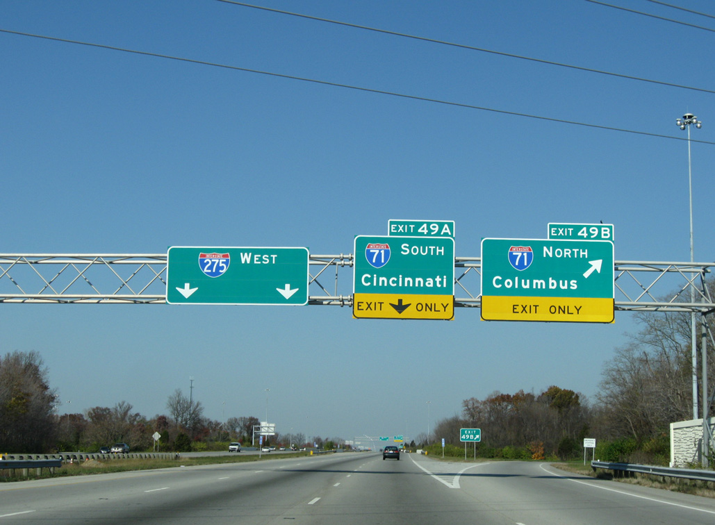
Exit 49B leaves I-275 west for Interstate 71 north to the Warren County seat of Lebanon. Columbus is 95 miles away.
11/08/09
11/08/09
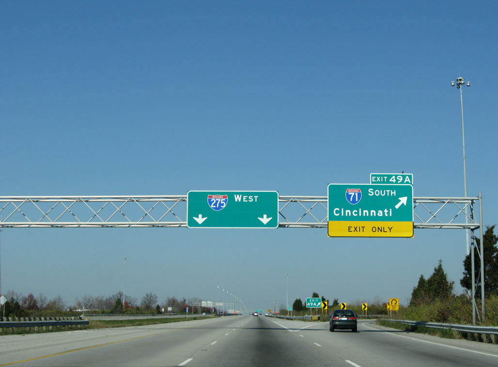
Interstate 71 travels 17 miles southwest to Downtown Cincinnati, where it combines with I-75 across the Brent Spence Bridge into Covington, Kentucky.
11/08/09
11/08/09
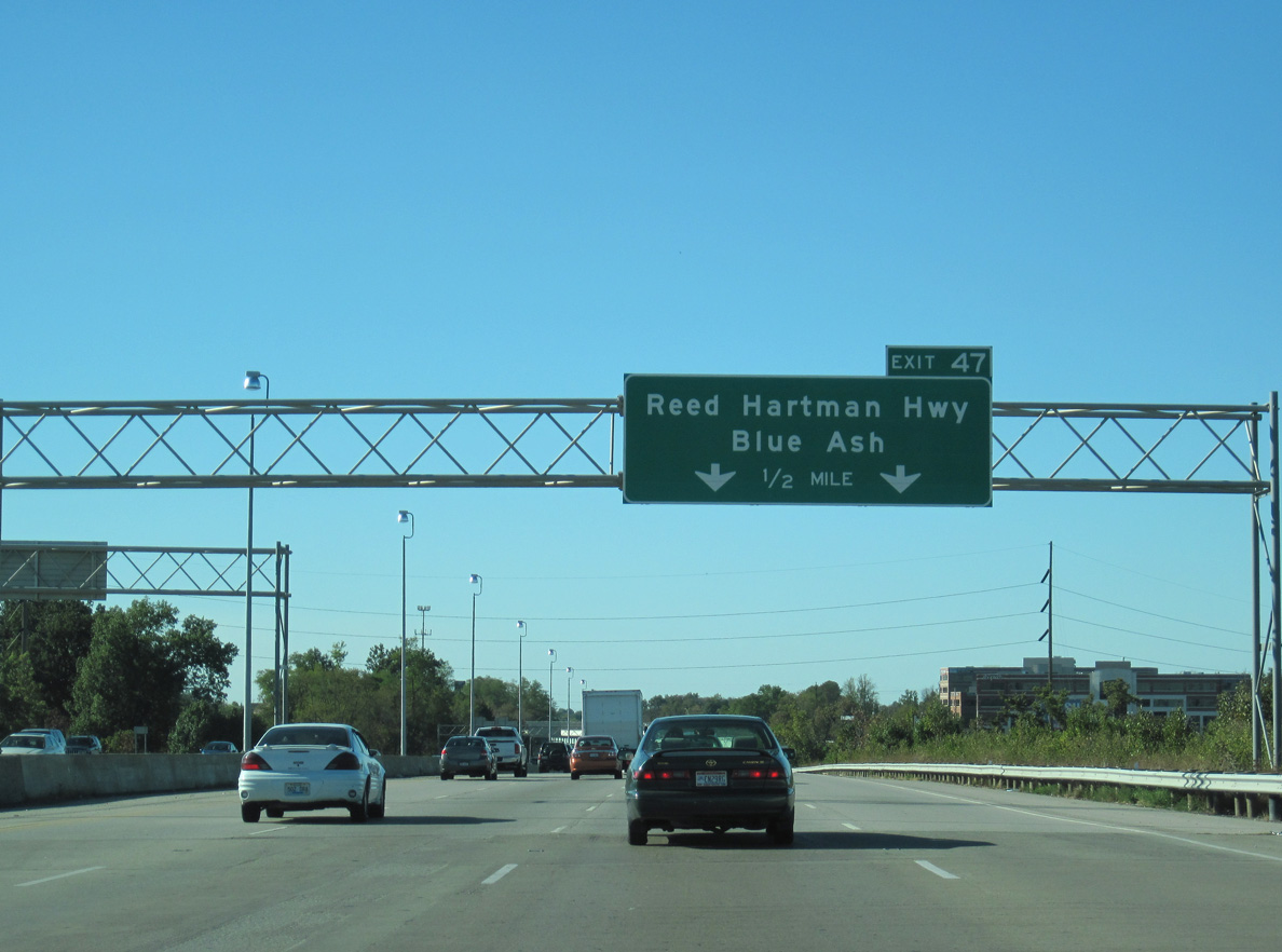
Continuing west, Interstate 275 skims northern Blue Ash before entering the city of Sharonville. Exit 47 with Reed Hartman Highway serves both cities.
10/01/10
10/01/10
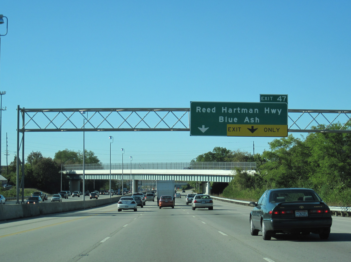
Reed Hartman Highway heads south to an array of business parks at the site of Blue Ash Airport (ISZ) and north to Fields Ertel Road at the Butler County line.
10/01/10
10/01/10
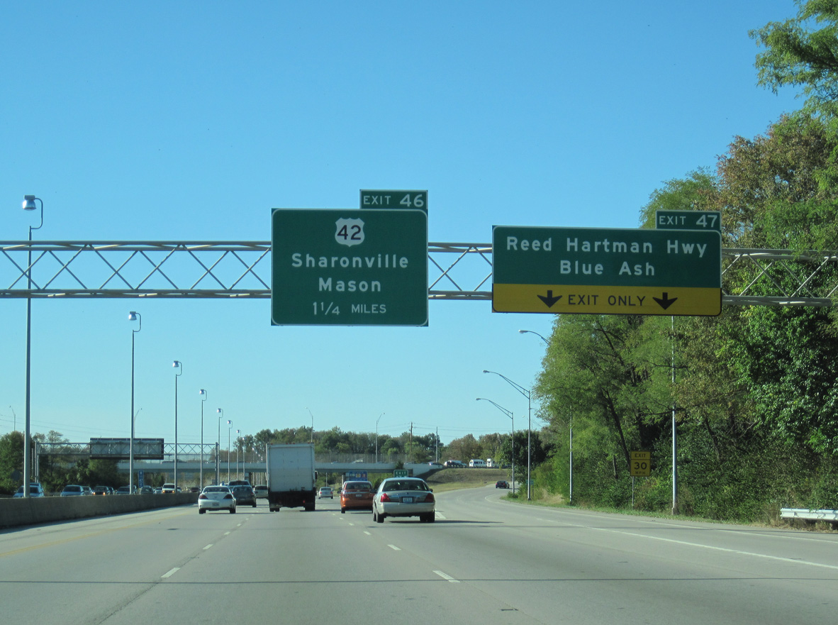
U.S. 42 parallels I-71 southward from Exit 47 and Sharonville to Evendale, Reading and Downtown Cincinnati.
10/01/10
10/01/10
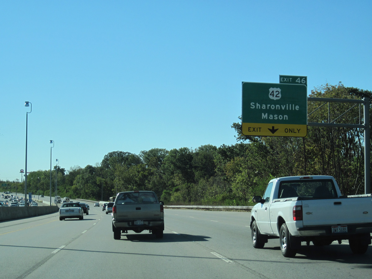
I-275 passes between the Tennyson and Copperfield subdivisions ahead of the diamond interchange (Exit 46) with U.S. 42 (Lebanon Road).
10/01/10
10/01/10
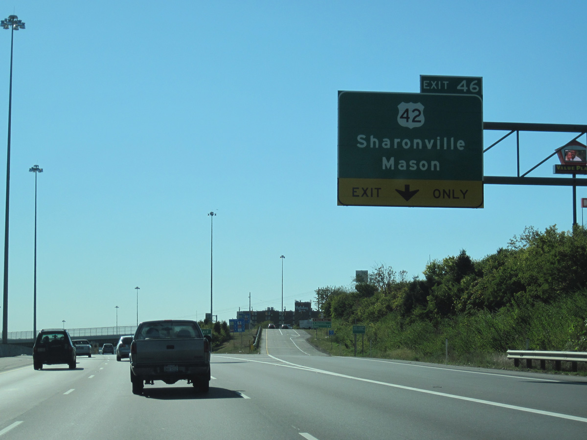
Running midway between I-71 and I-75, U.S. 42 continues north from Exit 46 to Pisgah, Mason and Lebanon en route to Xenia.
10/01/10
10/01/10
Interstate 275 crosses an area of industrial parks west to Mosteller Road by the Sharonville Commerce Center.
10/01/10
10/01/10
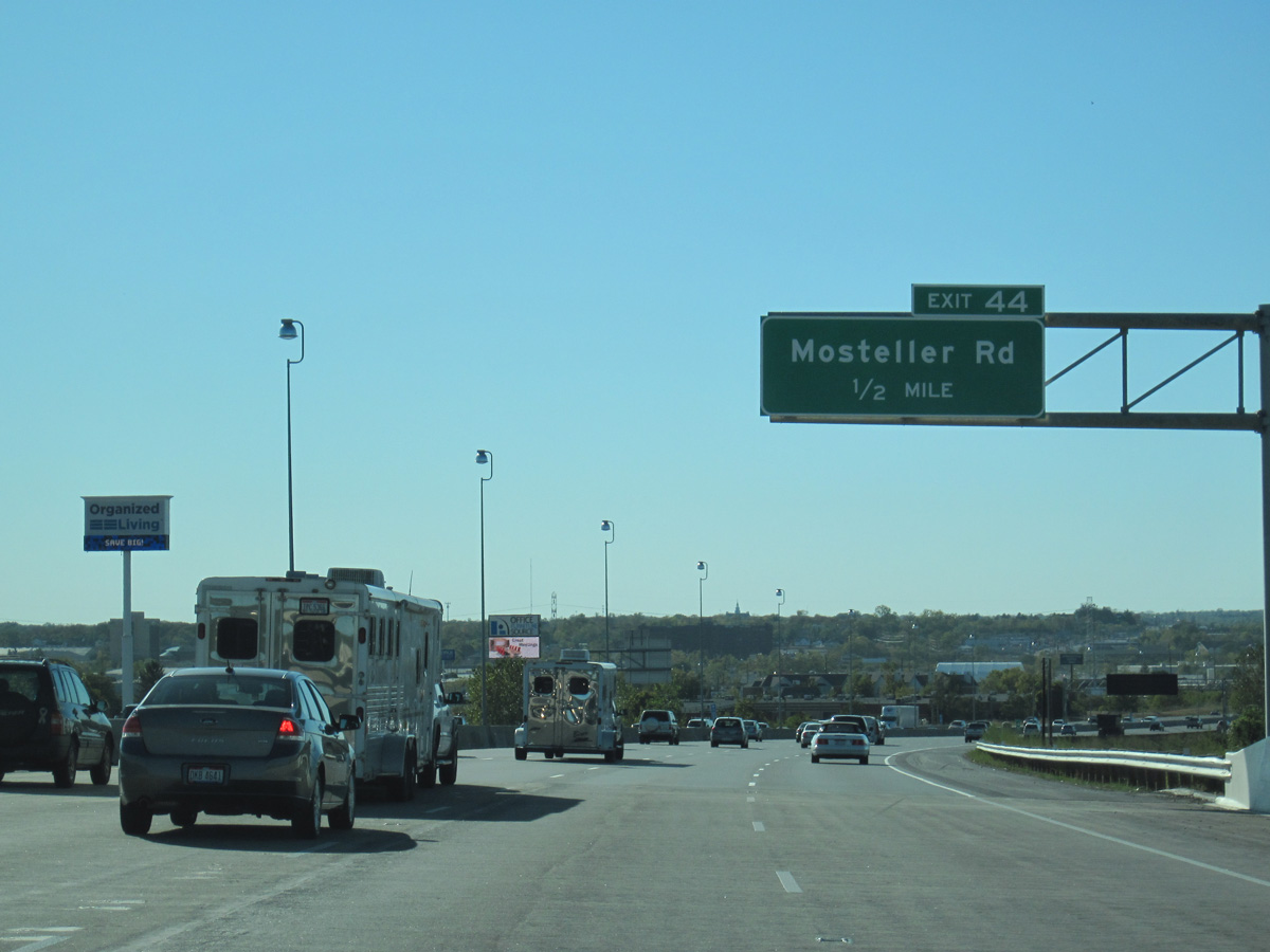
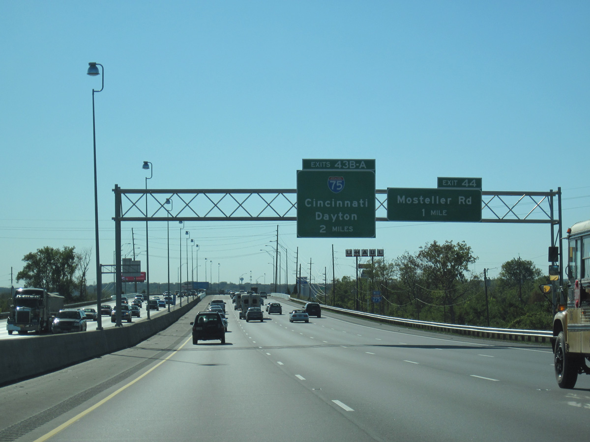
Mosteller Road meets I-275 at a folded diamond interchange (Exit 44).
10/01/10
10/01/10
Joining Cincinnati with Dayton, Findley and Toledo in western Ohio, Interstate 75 converges with I-275 a mile west of Mosteller Road.
11/08/09
11/08/09
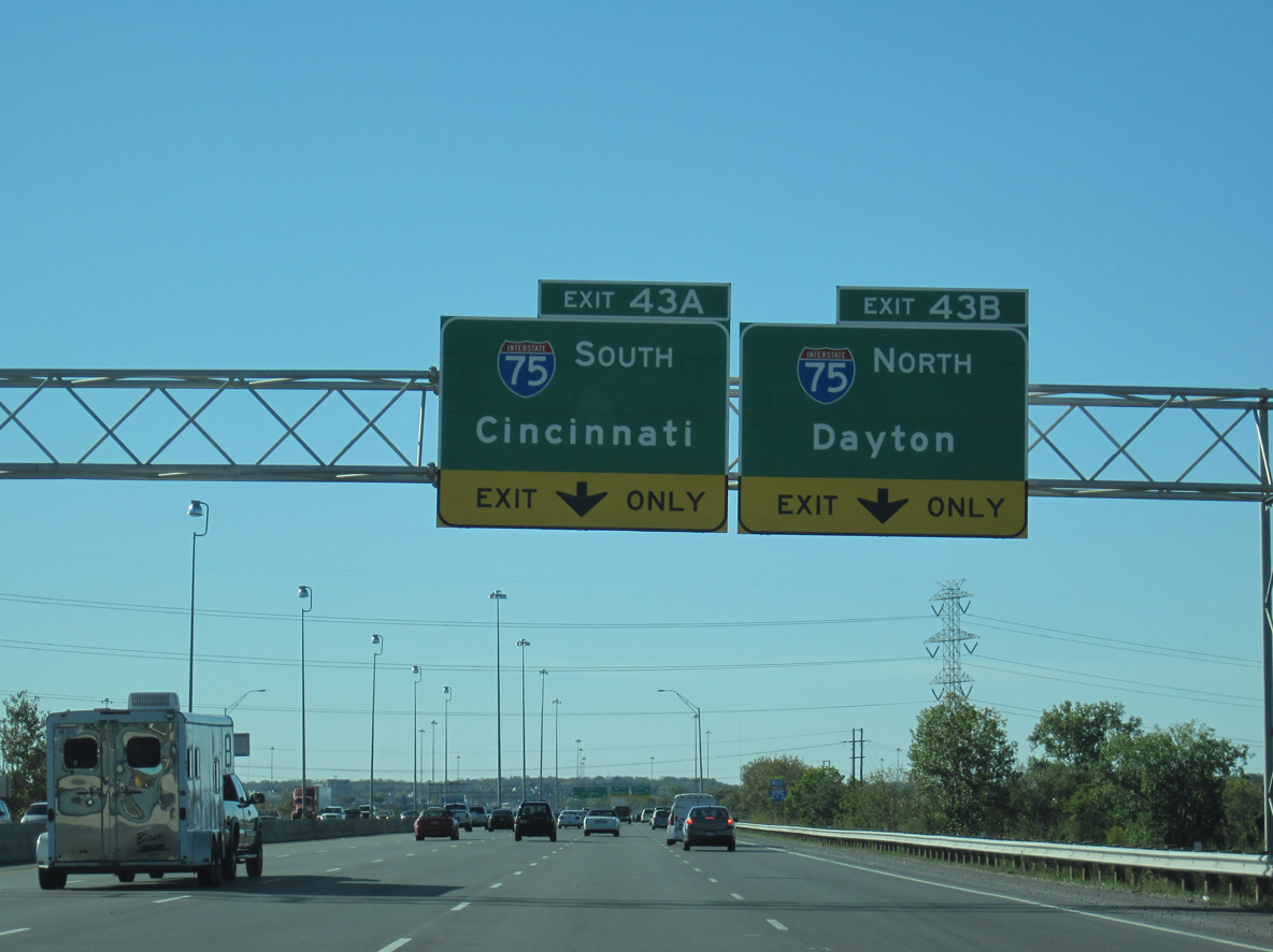
Interstate 75 travels 16 miles north from Exit 43B to Middletown and 36 miles to Downtown Dayton.
10/01/10
10/01/10

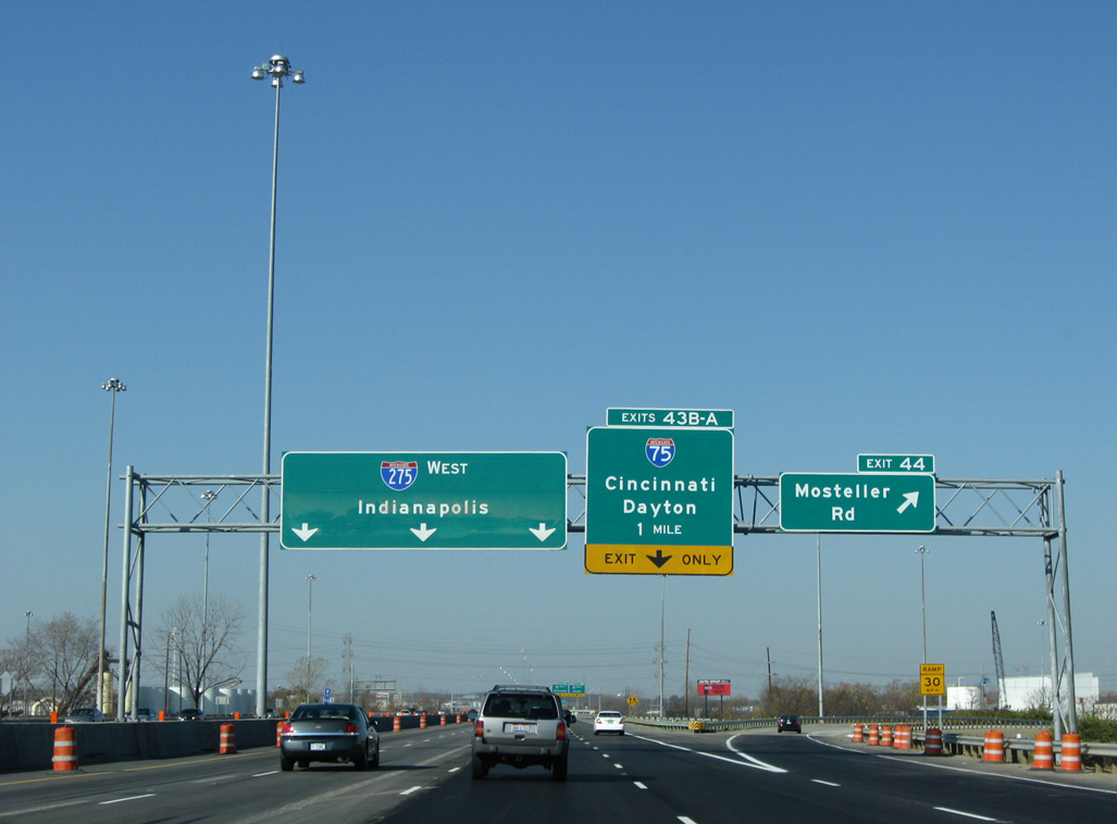
I-275 passes over a Norfolk Southern Railroad line leading into the directional cloverleaf interchange (Exit 43) with Interstate 75.
10/01/10
10/01/10
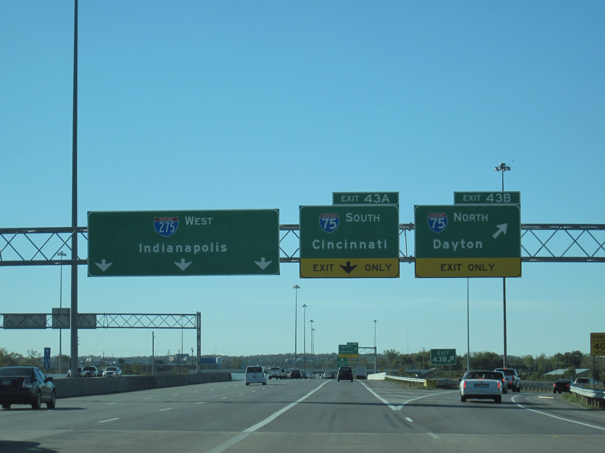
Exit 43B departs I-275 west for I-75 north to Butler County and West Chester. Exit 43A follows for I-75 south to Lincoln Heights, Lockland and St. Bernard.
10/01/10
10/01/10
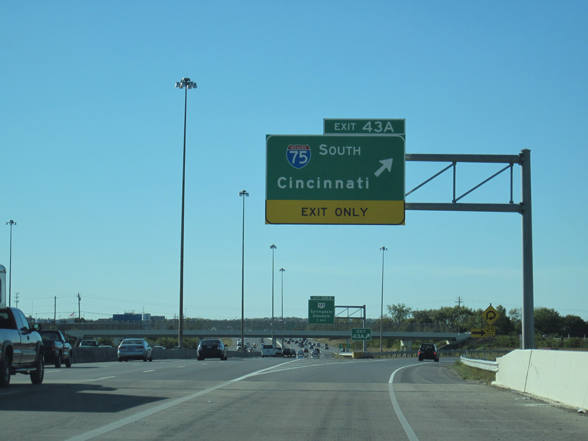
Interstate 75 extends 16.6 miles south from I-275 to cross the Kentucky line along the Brent Spent Bridge from Downtown Cincinnati.
10/01/10
10/01/10

References:
- Interstate 275 Cincinnati. Cincinnati-Transit.net.
Photo Credits:
- ABRoads: 11/08/09, 10/01/10
Connect with:
Page Updated Tuesday September 07, 2021.