
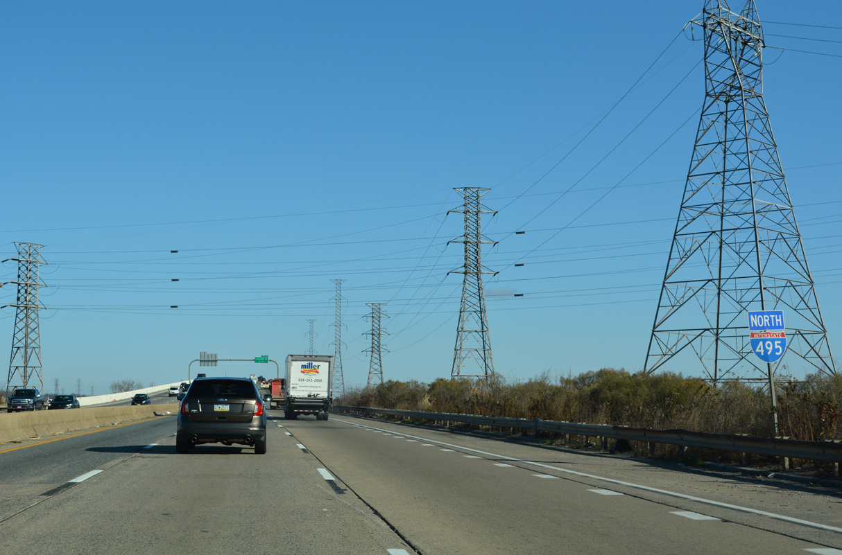
Interstate 495 North
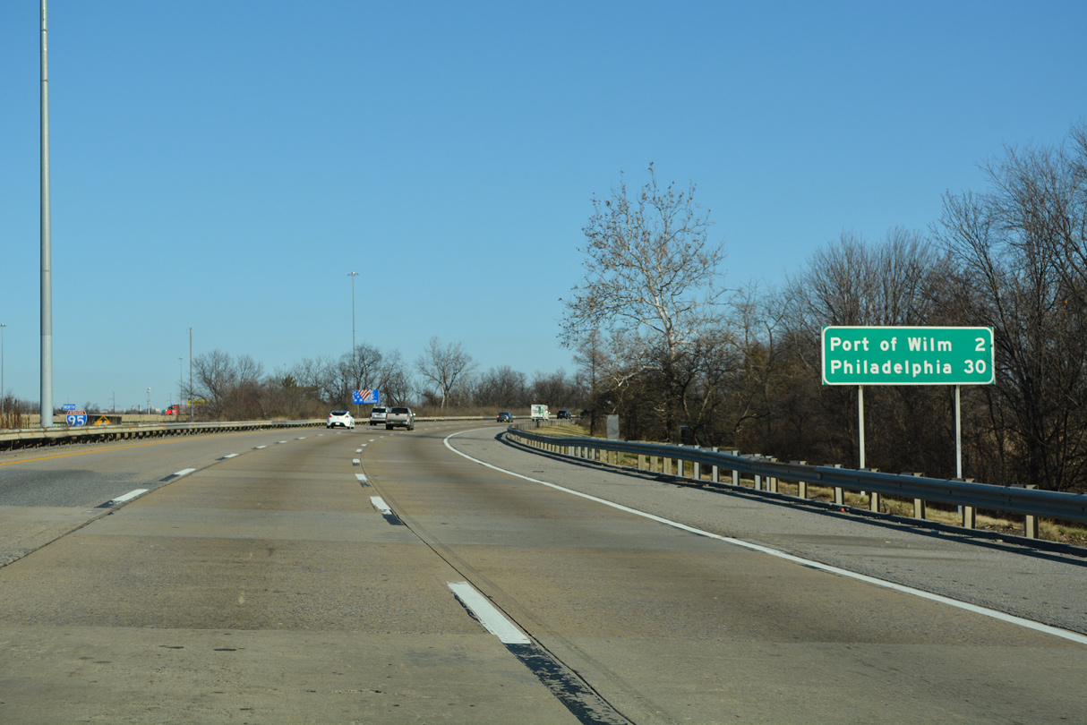
Leading away from a wye interchange with I-95/U.S. 202, Interstate 495 traverses an area of wetlands south of the Christina River. Downtown Philadelphia lies 30 miles to the northeast.
12/20/22
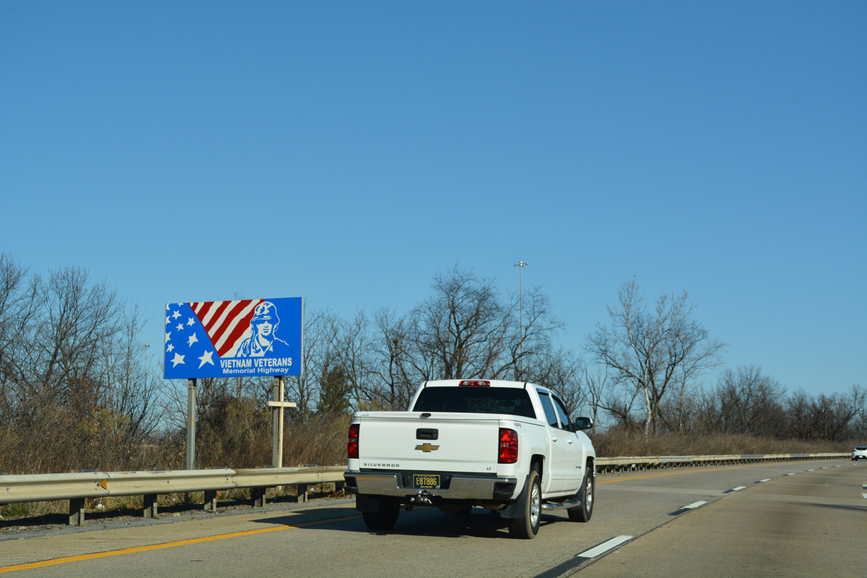
Interstate 495 is dedicated the Vietnam Veterans Memorial Highway. Signs are posted for the name at each end of the freeway.
12/20/22
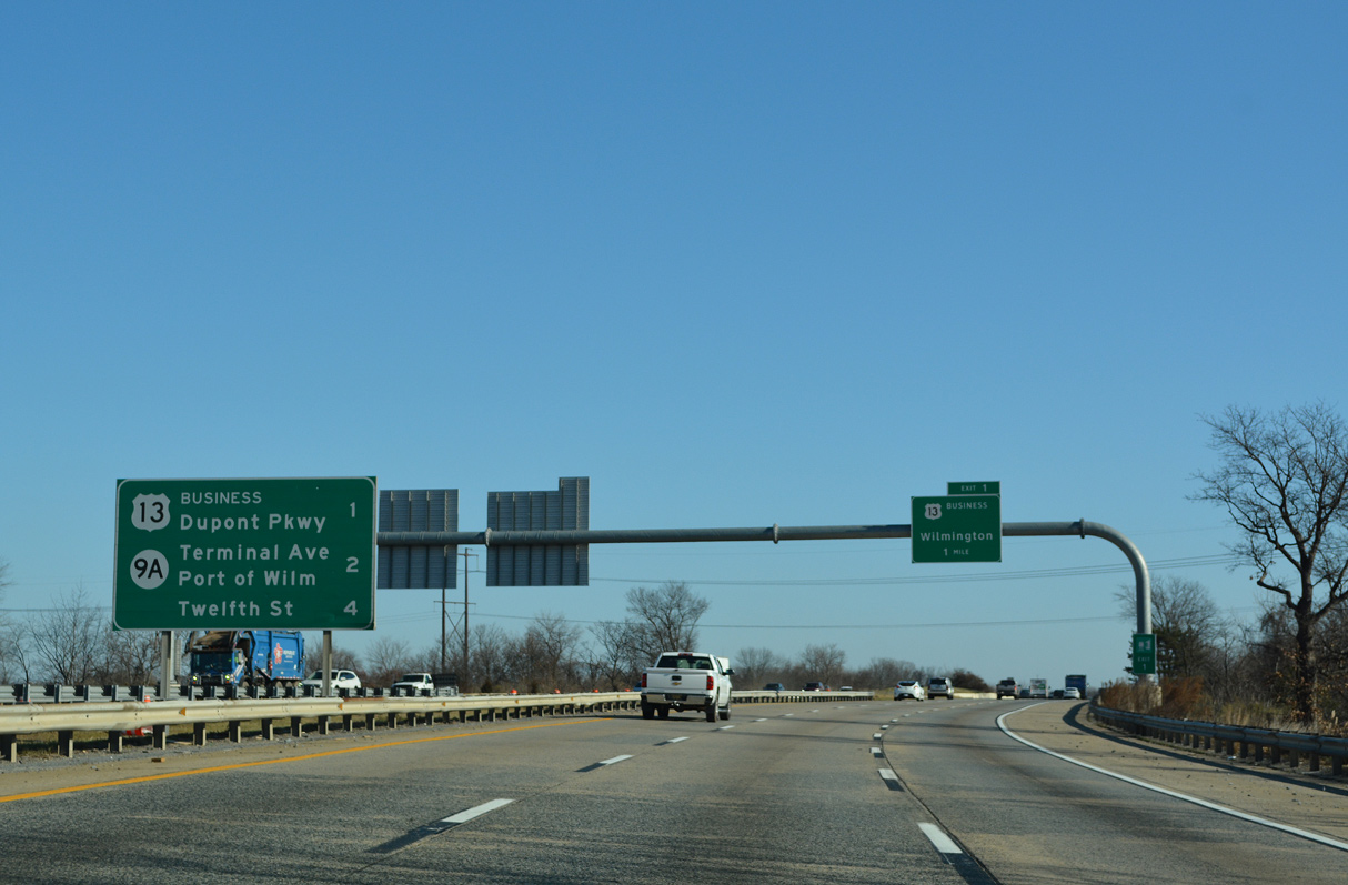
U.S. 13 (Dupont Parkway) meets Interstate 495 at the first of four interchanges for the city of Wilmington in 1.25 miles. A monotube assembly for Exit 1 was installed just ahead of the underpass for Jack A. Markell Trail by July 2018.
12/20/22
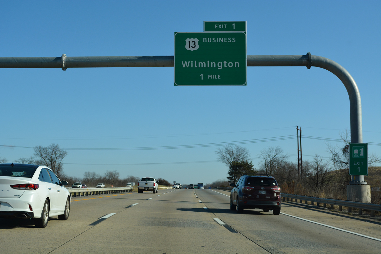
Interstate 495 passes by a landfill and the Delaware Division of Motor Vehicle complex opened in 2000 ahead of the directional cloverleaf interchange (Exit 1) with U.S. 13 (Dupont Parkway) at the split with U.S. 13 Business (Walnut Street).
12/20/22
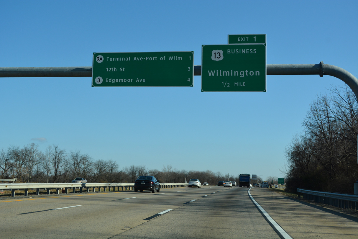
The forthcoming loop ramp (Exit 1) for Dupont Parkway northbound connects with both U.S. 13 Business (Market Street) north to Downtown Wilmington and U.S. 13 (Heald Street) north to Southbridge.
12/20/22
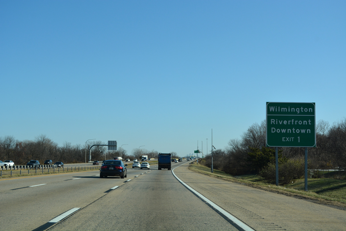
U.S. 13 Business (Market Street) leads 1.4 miles north to Wilmington Station at Front Street, east of the Christina Riverfront. The transit station serves both Amtrak and SEPTA (Southeast Pennsylvania Transit Authority) service.
12/20/22
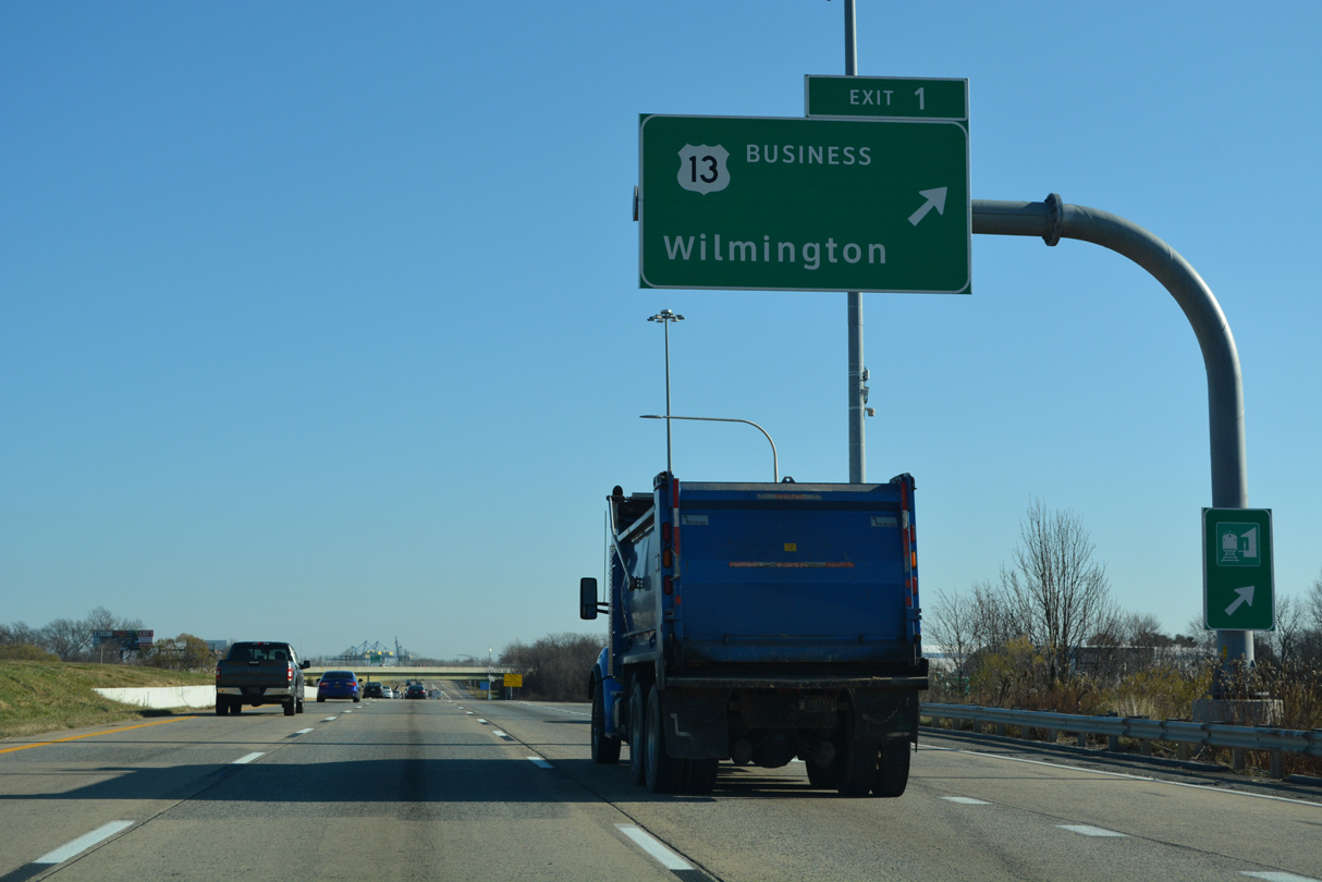
U.S. 13 angles northeast from Exit 1 and Dupont Highway to Southrbridge, where the route combines with SR 9. U.S. 13 converges with I-495 again at Claymont in 8.8 miles.
12/20/22
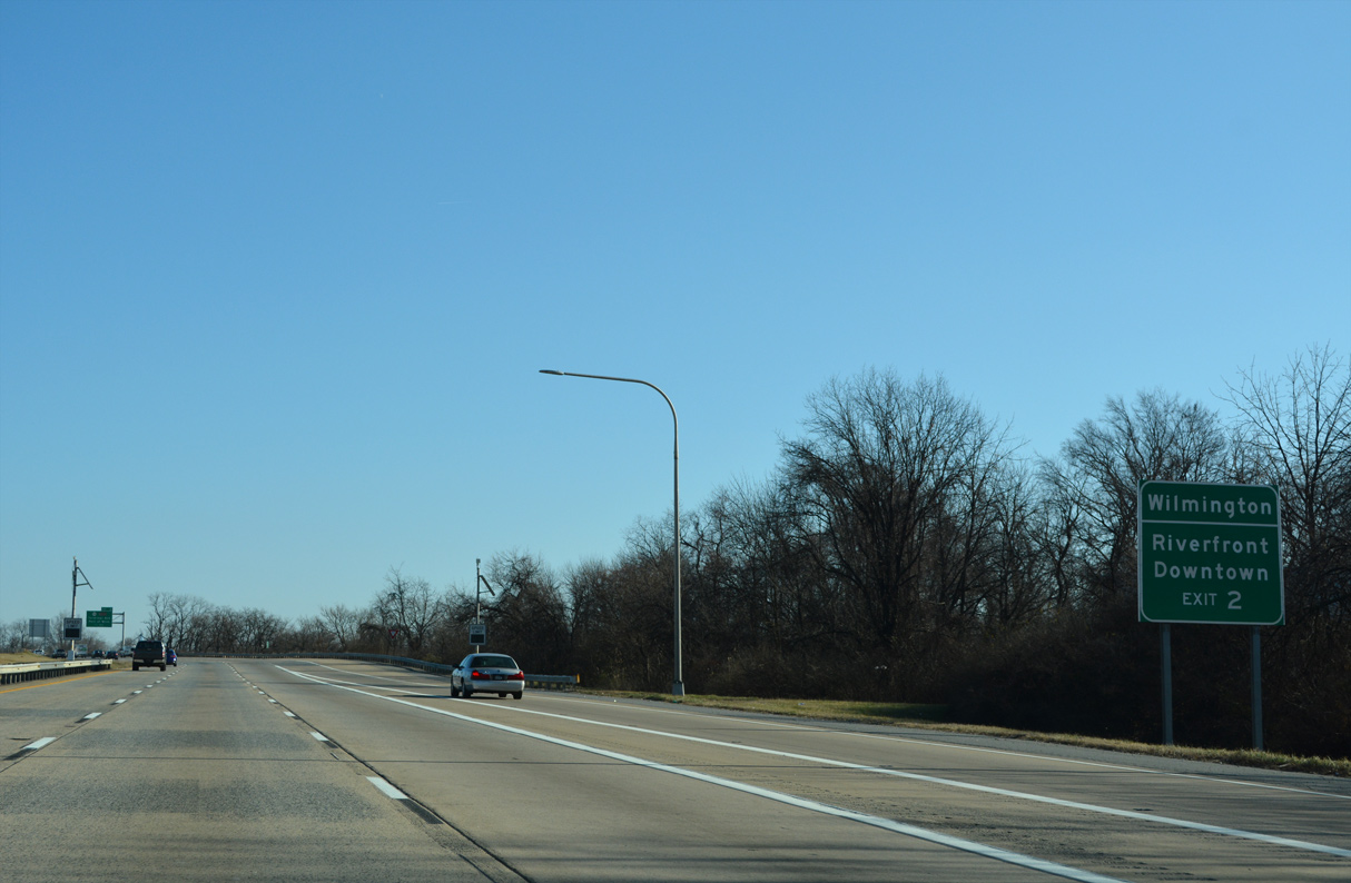
SR 9A (Terminal Avenue) stems east from SR 9 (New Castle Avenue) to a parclo interchange with Interstate 495 at Exit 2.
12/20/22
Removed by 2014, the first reassurance marker for Interstate 495 appeared ahead of the SR 9 (New Castle Avenue) underpass. Milepost 2.5 stands in the same location now.
12/23/12
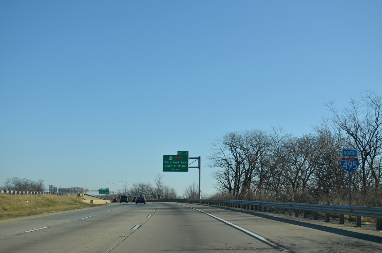
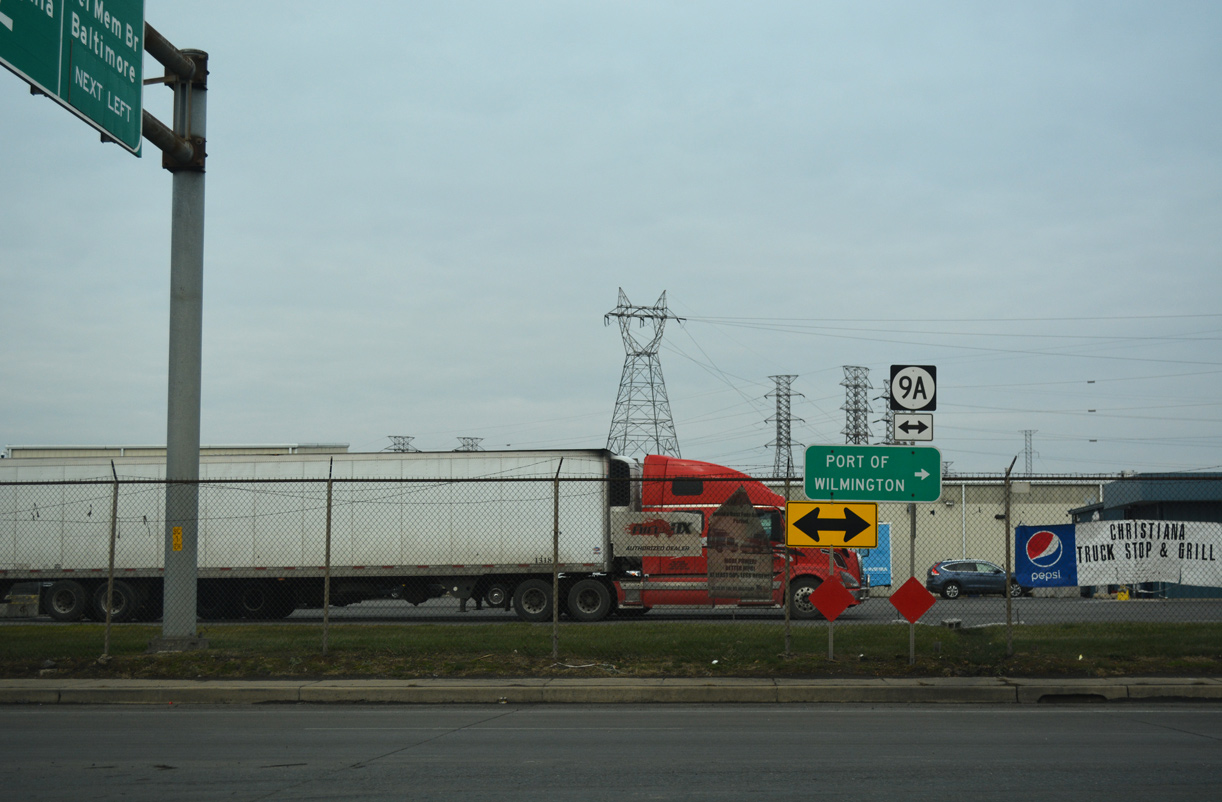
SR 9A forms a 2.07 mile long loop east from SR 9 to the Port of Wilmington.
12/20/22
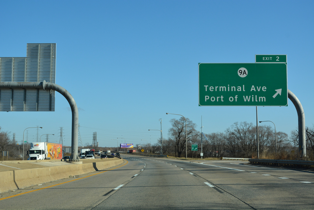
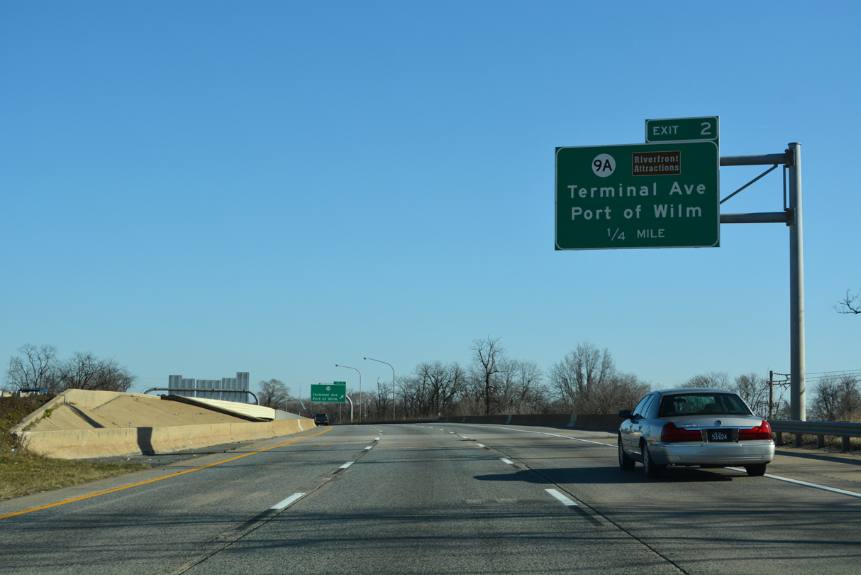
Exit 2 departs I-495 north for SR 9A (Terminal Avenue), the Port of Wilmington and Delaware River Industrial Park.
12/20/22
SR 9A returns to SR 9 (New Castle Avenue) via Christina Avenue north at the Southbridge section of Wilmington. Christina Avenue historically was a part of SR 48 when ferry service operated between Wilmington and Penns Grove, New Jersey. Ferry service ceased when the Delaware Memorial Bridge opened in 1951.
12/18/17
Reassurance marker posted ahead of the Christina River Bridge along I-495 north. The span passes over SR 9A (Christina Avenue) and a Norfolk Southern Railroad line as well.
12/20/22
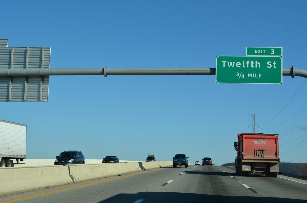
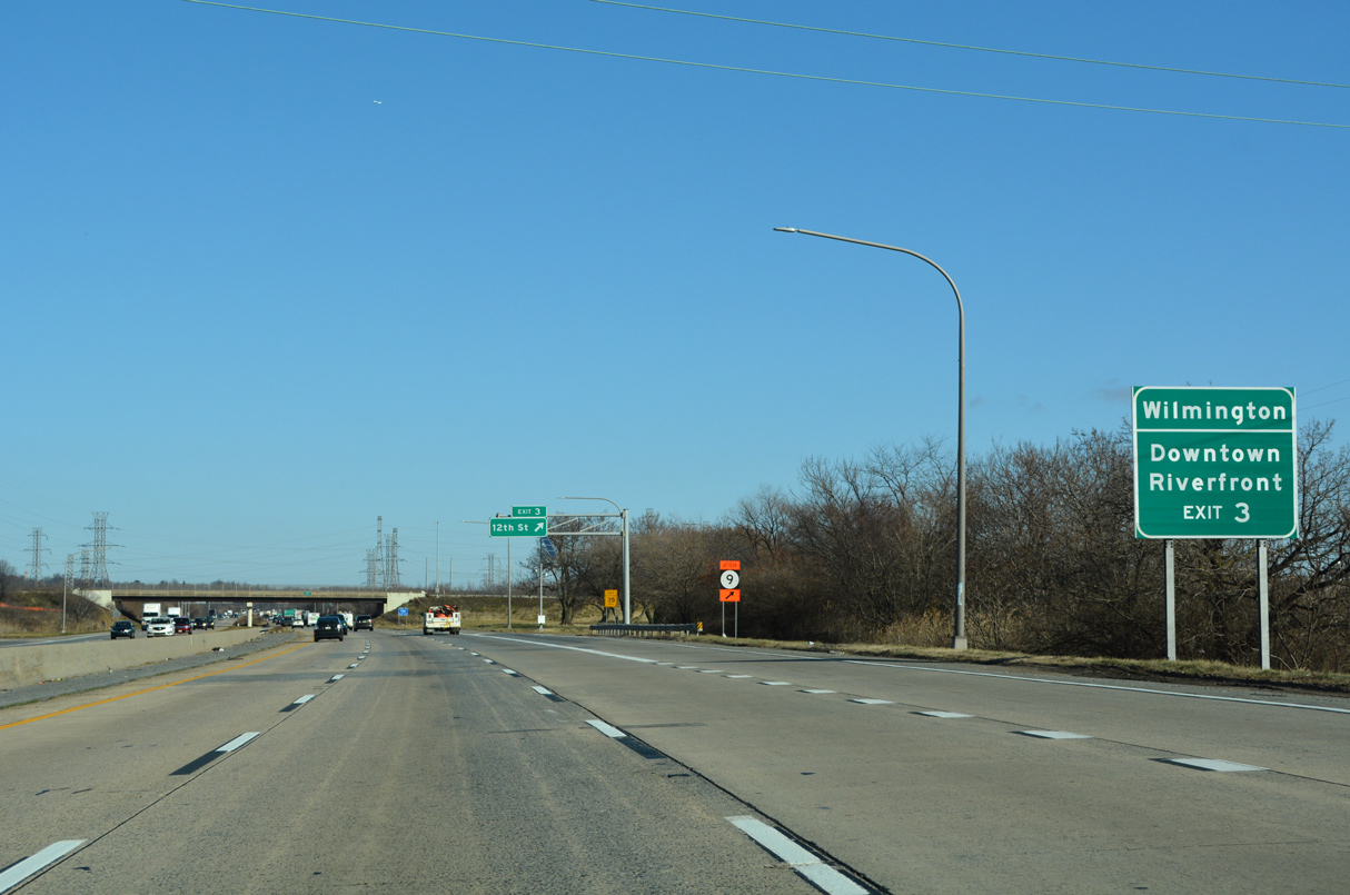
Forthcoming Exit 3 joins I-495 with 12th Street west to the 11th Street Bridge and Upper East Side neighborhoods of Wilmington.
12/20/22
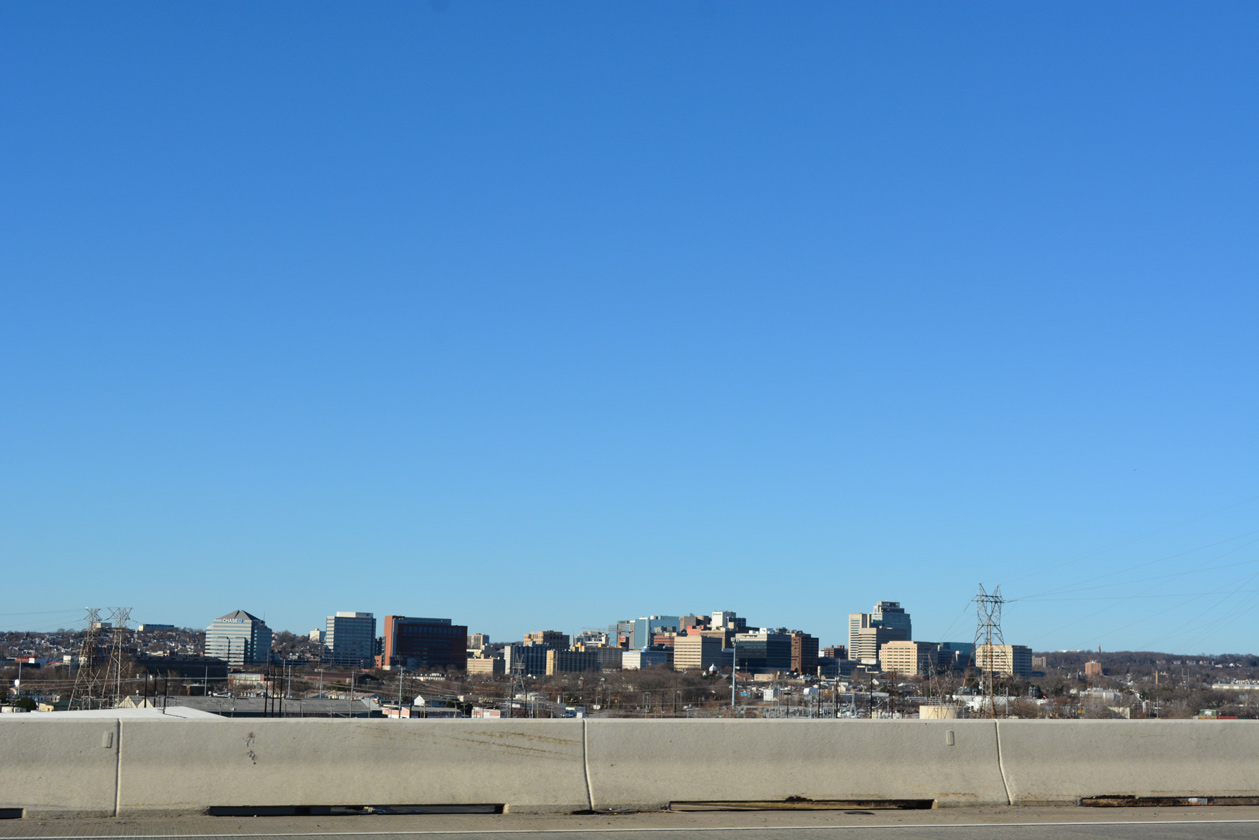
Looking west from the Christina River Bridge at the Wilmington skyline.
12/27/16
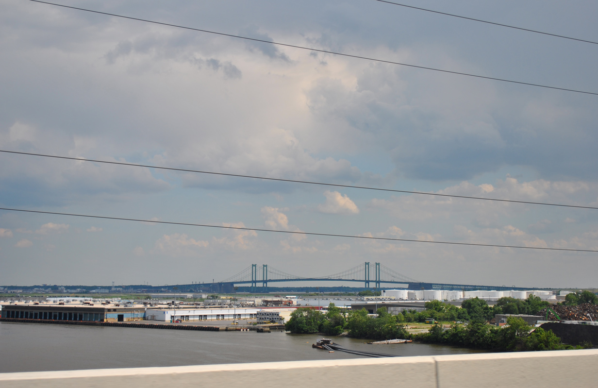
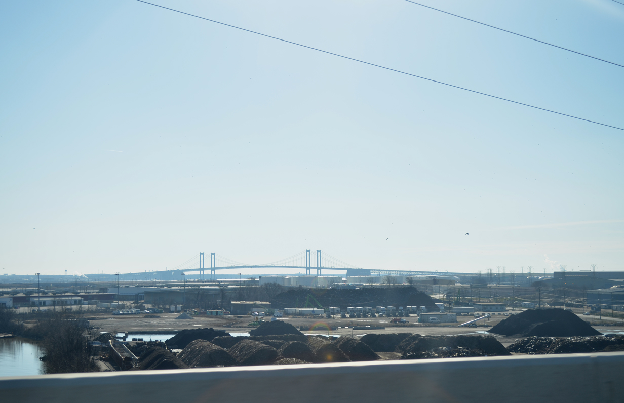
The Port of Wilmington spreads into view at the mouth of the Christina River. Rising along the horizon are the 440 foot towers of the Delaware Memorial Bridge (I-295/U.S. 40).
06/03/12
12/23/12
The Christina River Bridge was completed in 1974 at a length of 4,800 feet with a 60 foot clearance.1 The span closed for emergency repairs between June 2, 2014 and August 23, 2014 due to tilting of bridge columns caused by over 50,000 tons of dirt improperly stockpiled near its supports. Nearly $40 million in work repaired the damage, which included construction of a new foundation for the weakened section.2
10/05/14
12th Street (Road 9) links with U.S. 13 (Northeast Boulevard) 0.98 miles west of I-495. U.S. 13 crosses Brandywine Creek to E 11th Street outside Downtown Wilmington.
12/20/22

Entering the diamond interchange (Exit 3) with 12th Street on I-495 north. Hay Road stems north from the east end of 12th Street at the Cherry Island landfill.
12/20/22
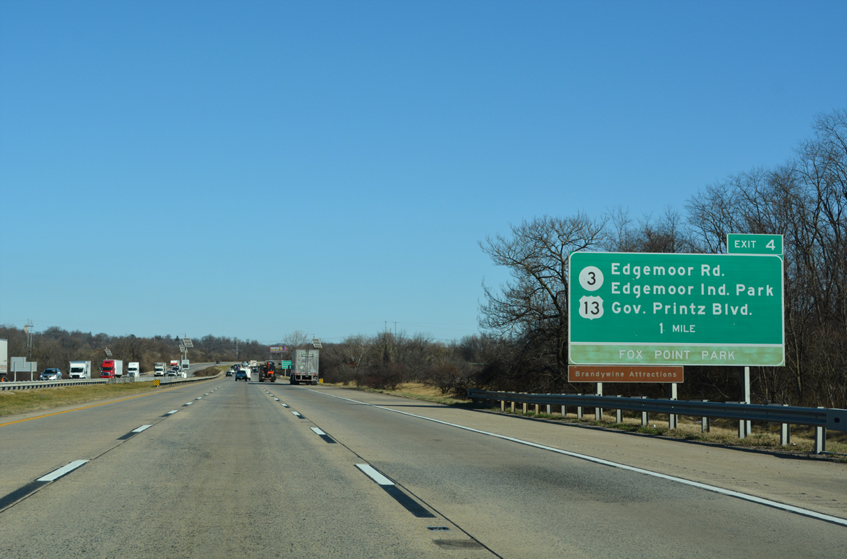
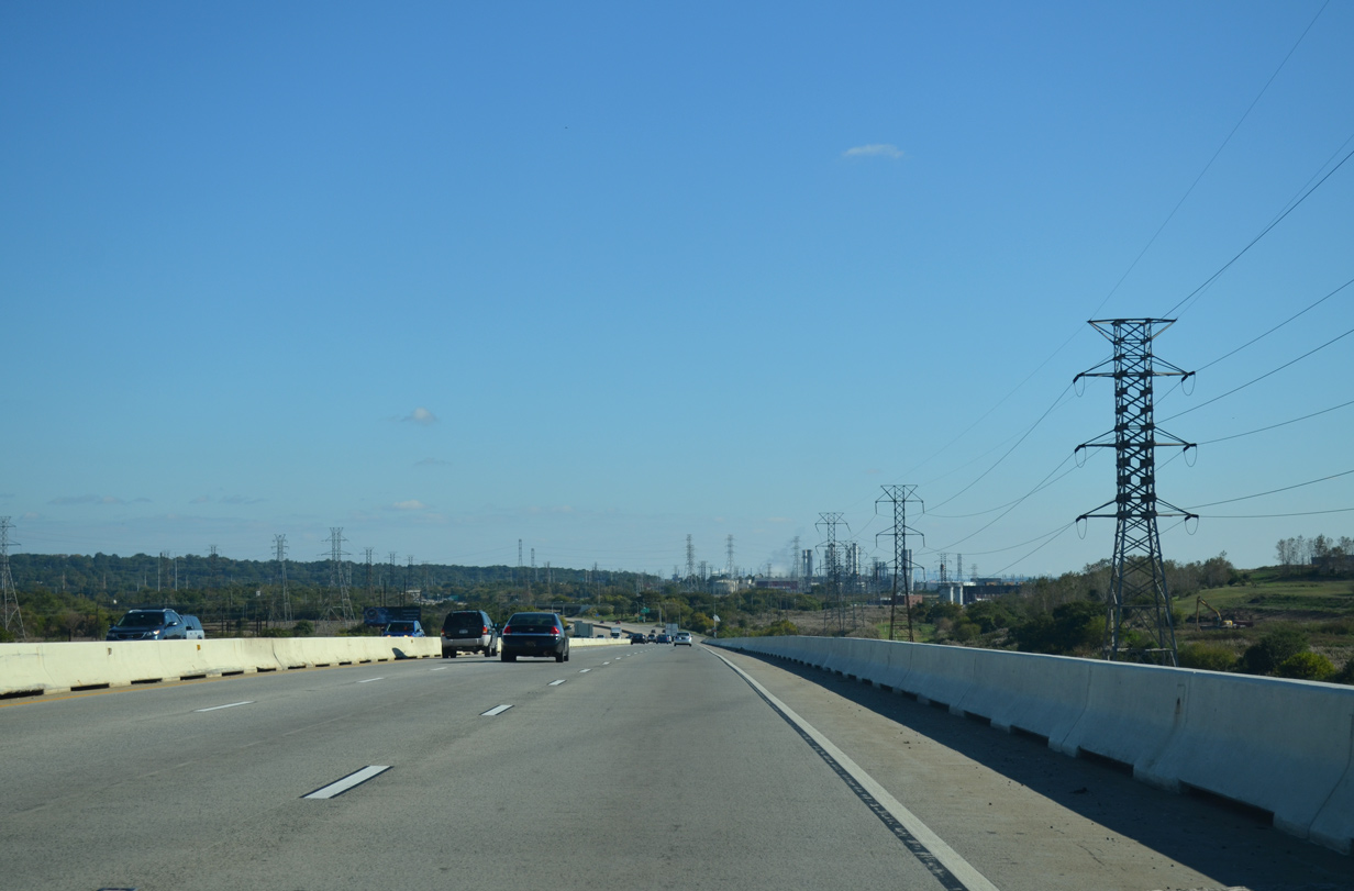
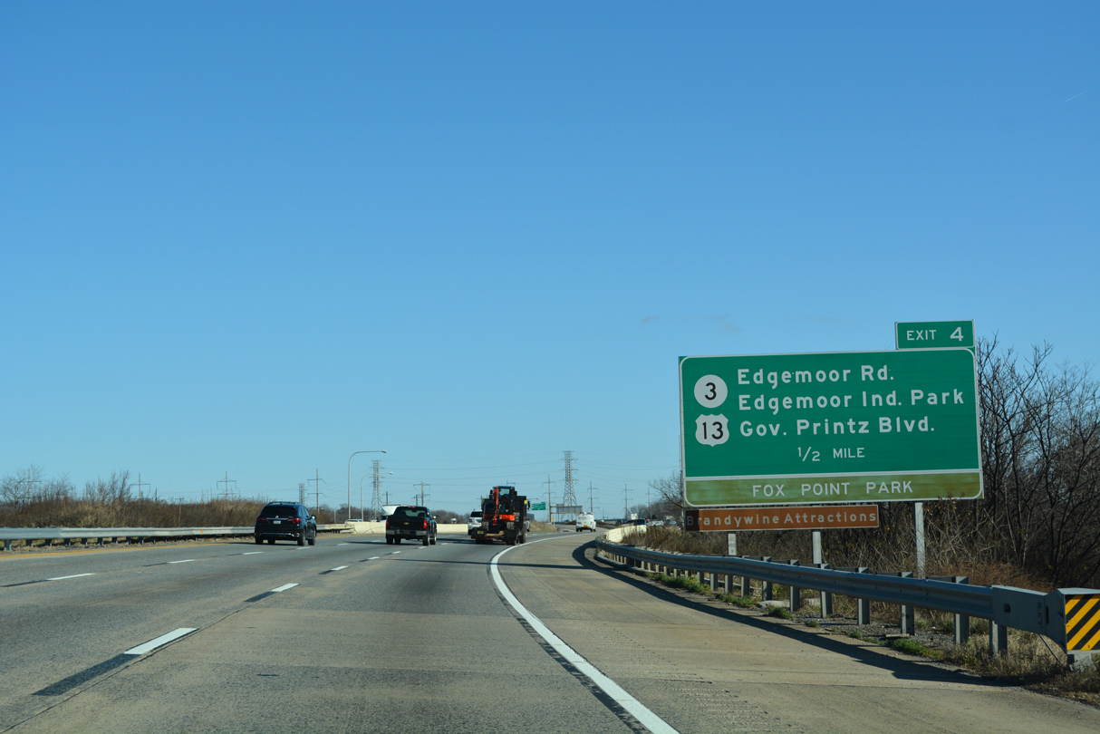
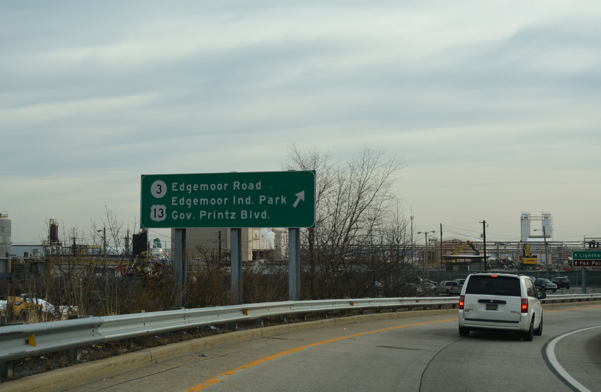
Advancing north, I-495 meets SR 3 (Edgemoor Road) and Lighthouse Road at a parclo interchange (Exit 4) in one mile. Guide signs for Exit 4 were updated in 2000 to include Fox Point State Park. Opened then, Fox Point Park was created above a landfill on a narrow strip of land between I-495 and the Delaware River.
12/20/22
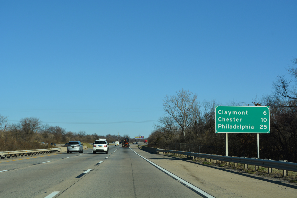
Claymont, a census designated place at the north end of I-495, is six miles out while Philadelphia is 25 miles away. Crossing Shellpot Creek by this distance sign, I-495 vacates the Wilmington city limits.
12/20/22
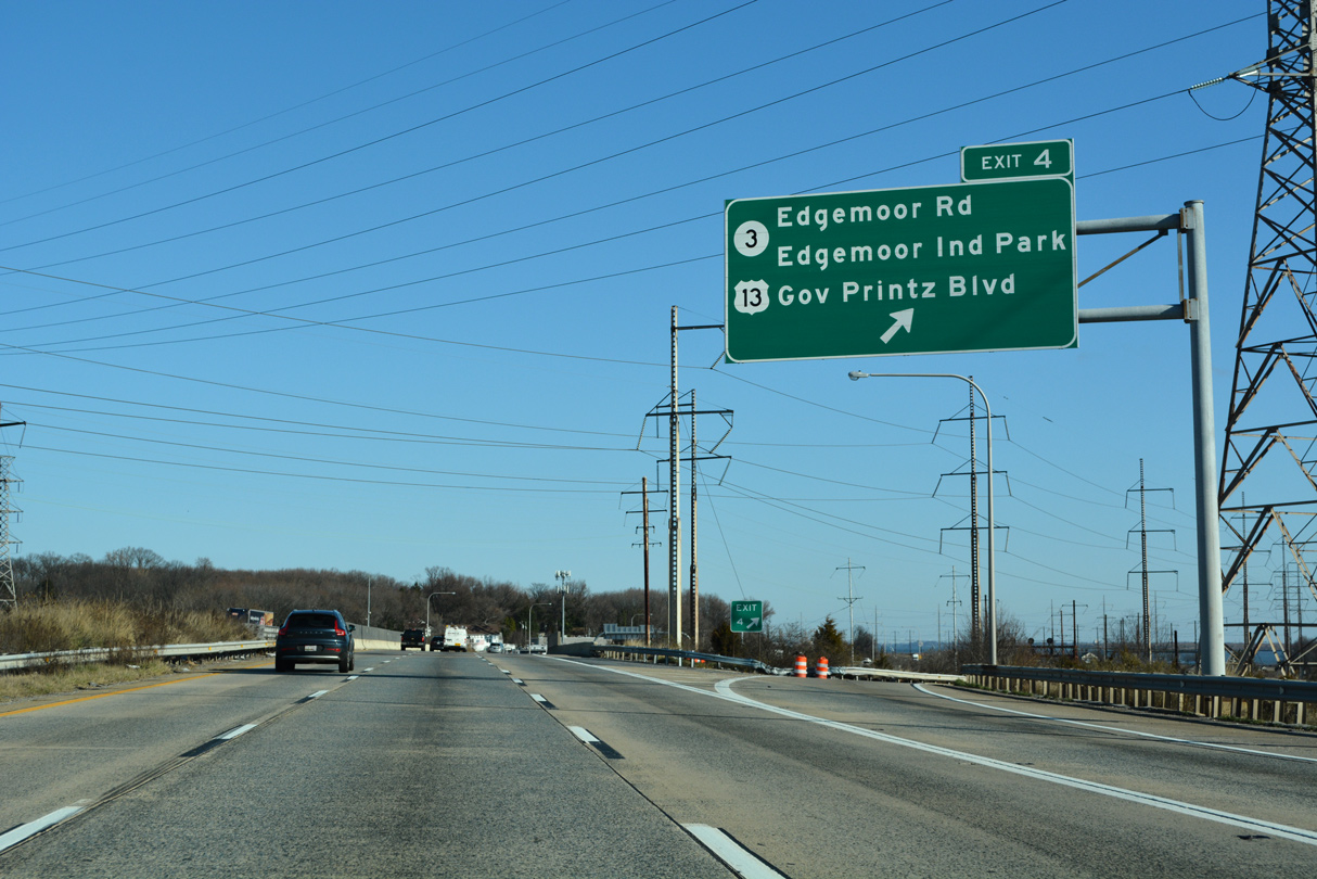
The exchange joining I-495 with SR 3 at Edgemoor opened to traffic in 1989. Prior to its completion, the state route ended at adjacent U.S. 13 (Governor Printz Boulevard).
12/20/22
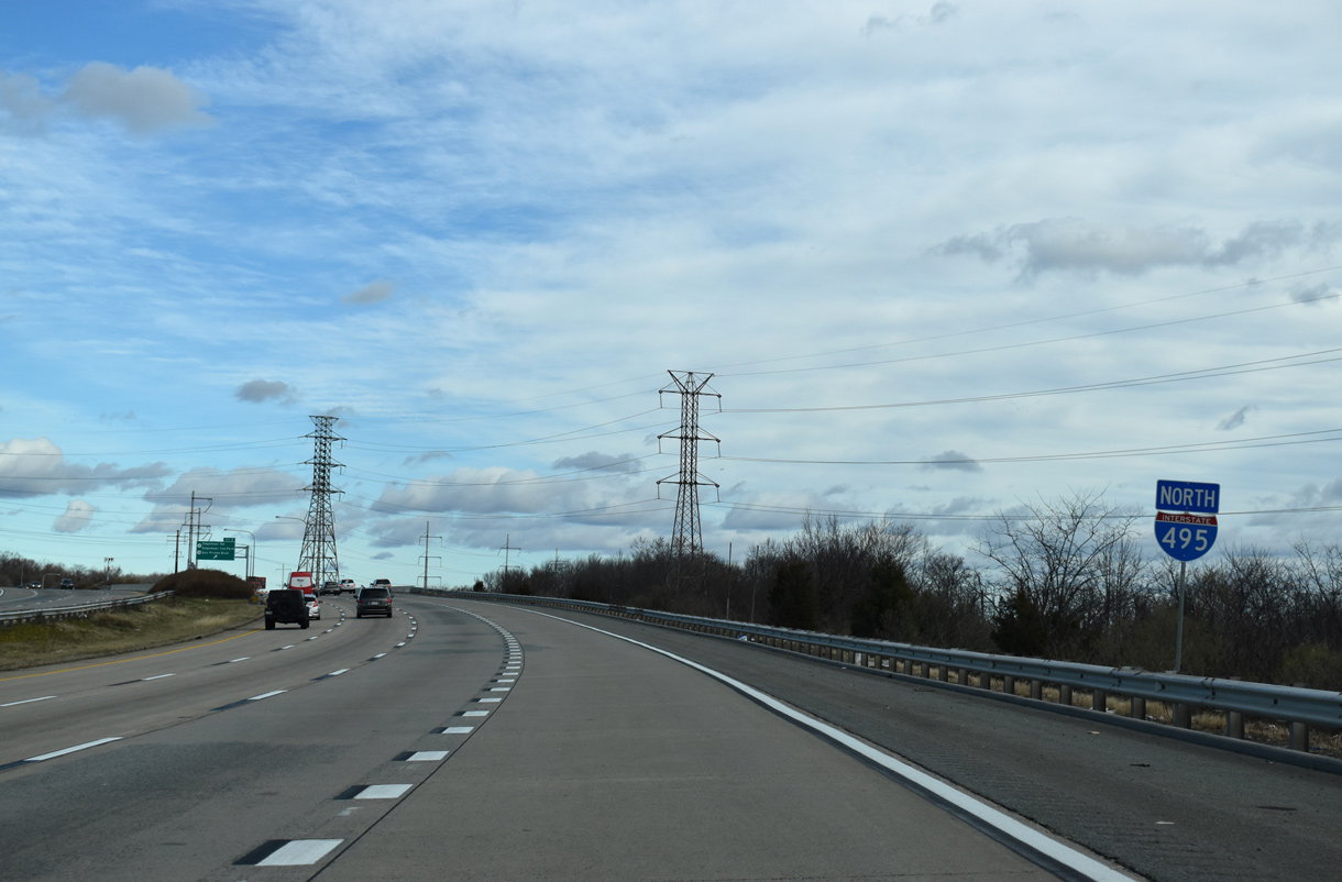
A loop ramp merges onto I-495 north from adjacent Hay Road and the south end of SR 3 ahead of this shield assembly. Hay Road extends north from Cherry Island and adjacent Edgemoor Industrial Park to Lighthouse Road.
01/01/19
Exit 4 loops away from I-495 north to Lighthouse Road between Fox Point State Park and SR 3 (Edgemoor Road).
12/20/22
A guide sign directs motorists onto Lighthouse Road southbound for SR 3 (Edgemoor Road). Edgemoor Road passes underneath I-495 and over the AMTRAK Northeast Corridor and Norfolk Southern Railroad tracks before intersecting U.S. 13 (Governor Printz Boulevard). U.S. 13 parallels I-495 directly to the west from Edgemoor northward to Claymont.
12/21/16
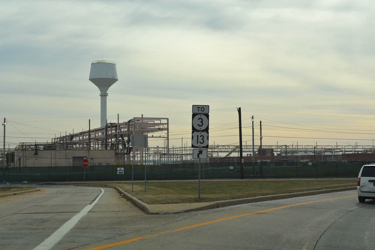
U.S. 13 and SR 3 trailblazers along the ramp (Exit 4B) to Lighthouse Road. SR 3 totals 5.87 miles overall from Edgemoor to SR 92 (Naamans Road) in the Brandywine Hundred area. The state route serves the nearby town of Bellefonte.
12/21/16
A wye interchange connects U.S. 13 (Governor Printz Boulevard) with I-495 directly ahead of a missing confirming marker.
12/20/22
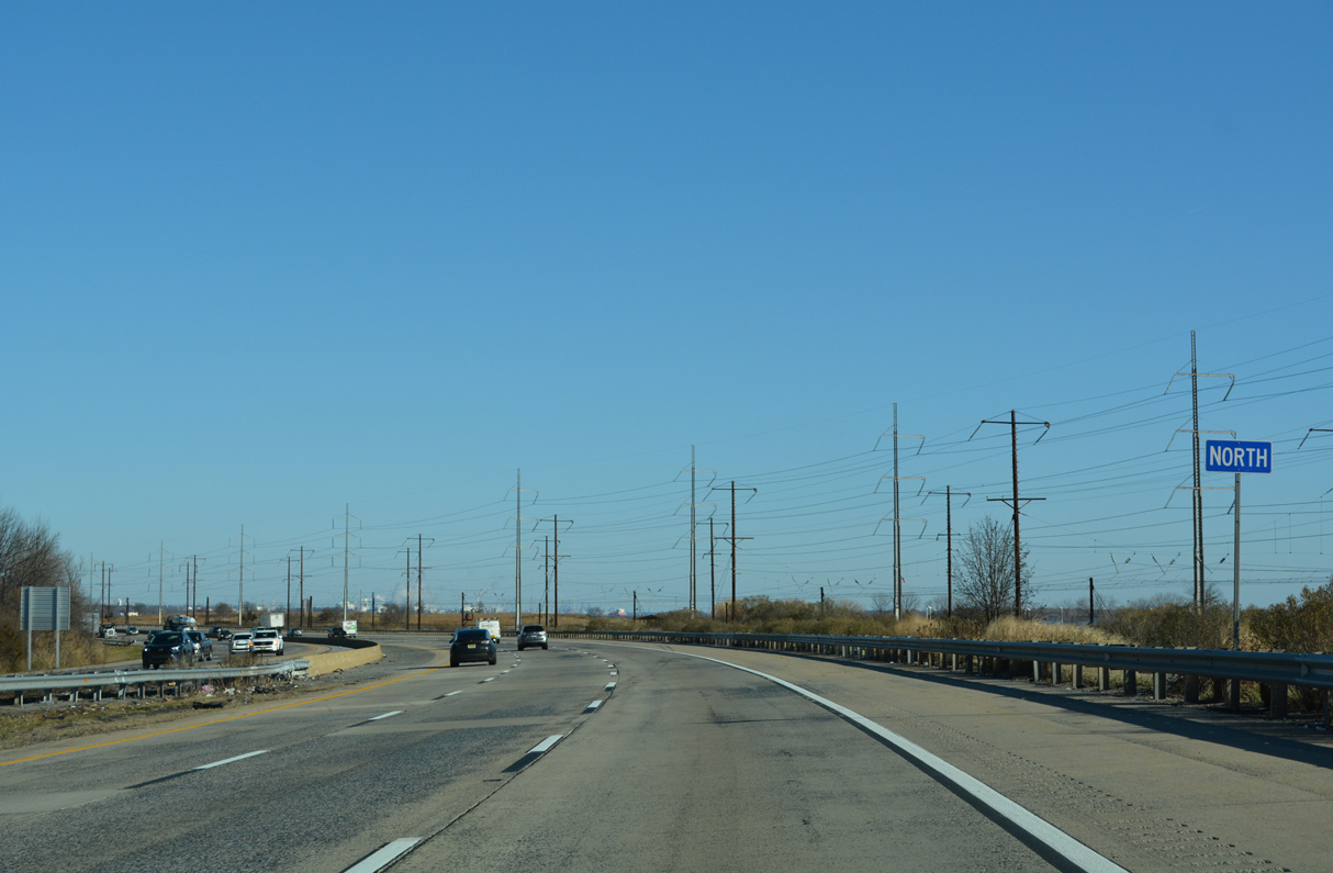
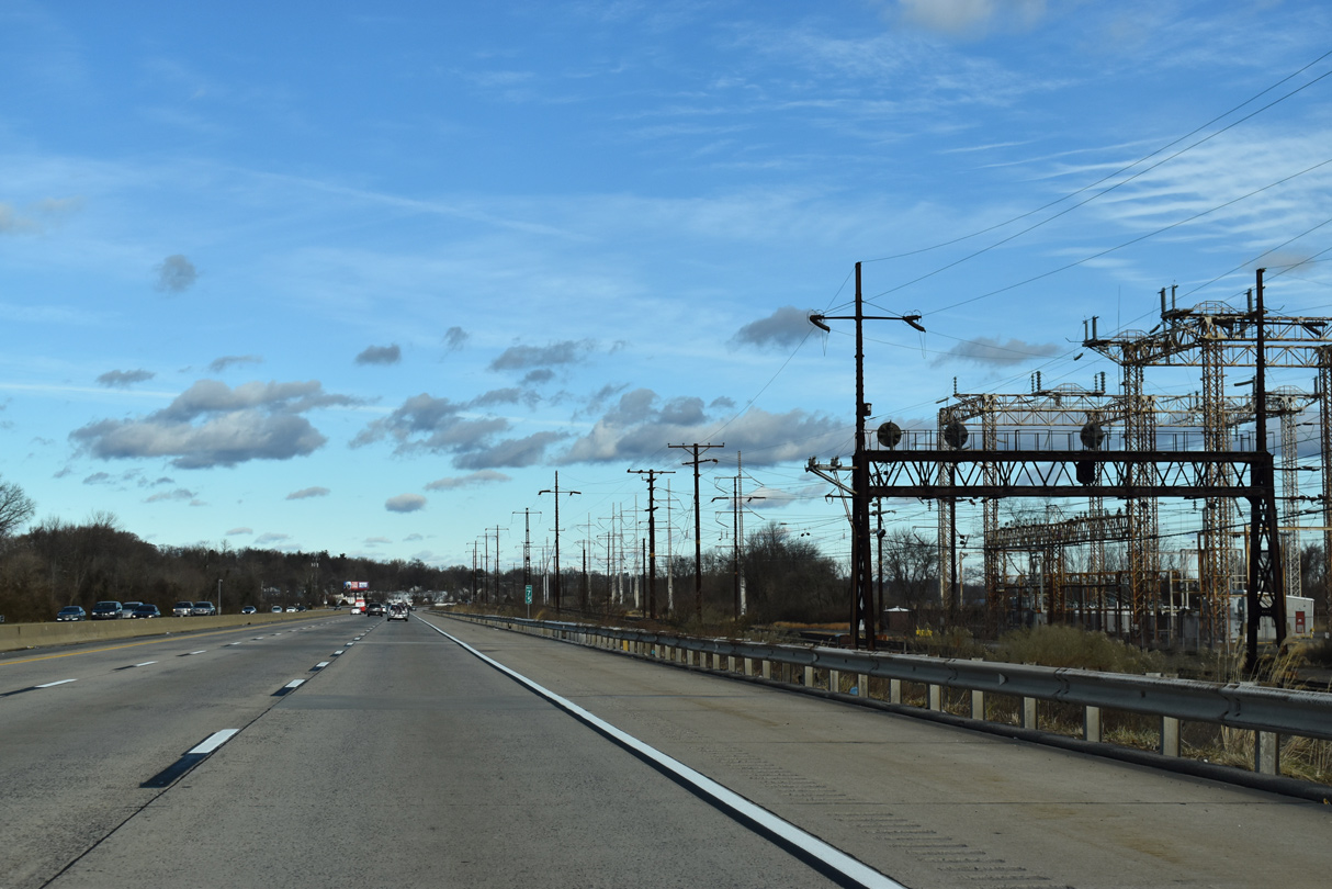
Interstate 495 runs between U.S. 13 (Governor Printz Boulevard) and the AMTRAK Northeastern Corridor to Claymont. Fox Point State Park and the Delaware River appear along the east side of AMTRAK and NS Railroad tracks.
12/20/22
01/01/19
The Commodore Barry Bridge (U.S. 322) comes into view upriver of Grubbs Landing.
12/23/12
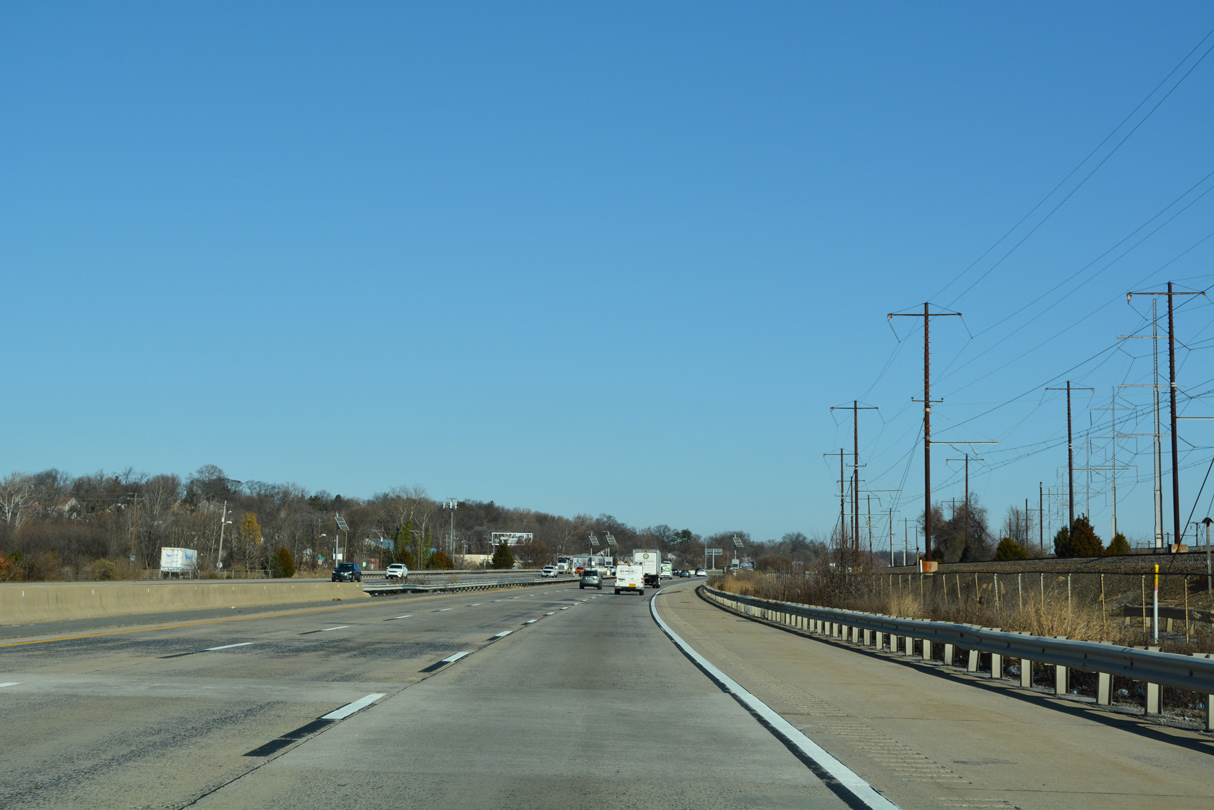
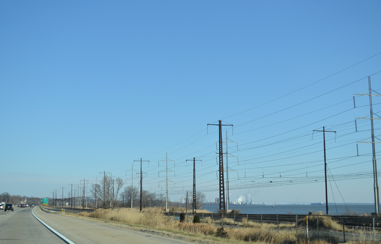
Interstate 495 and U.S. 13 converge two miles ahead at a parclo interchange (Exit 5) in Claymont.
12/20/22
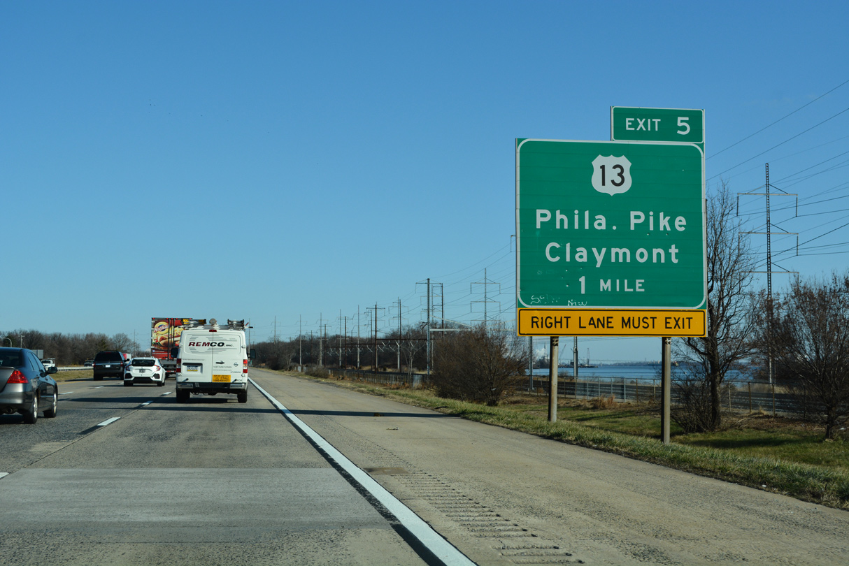
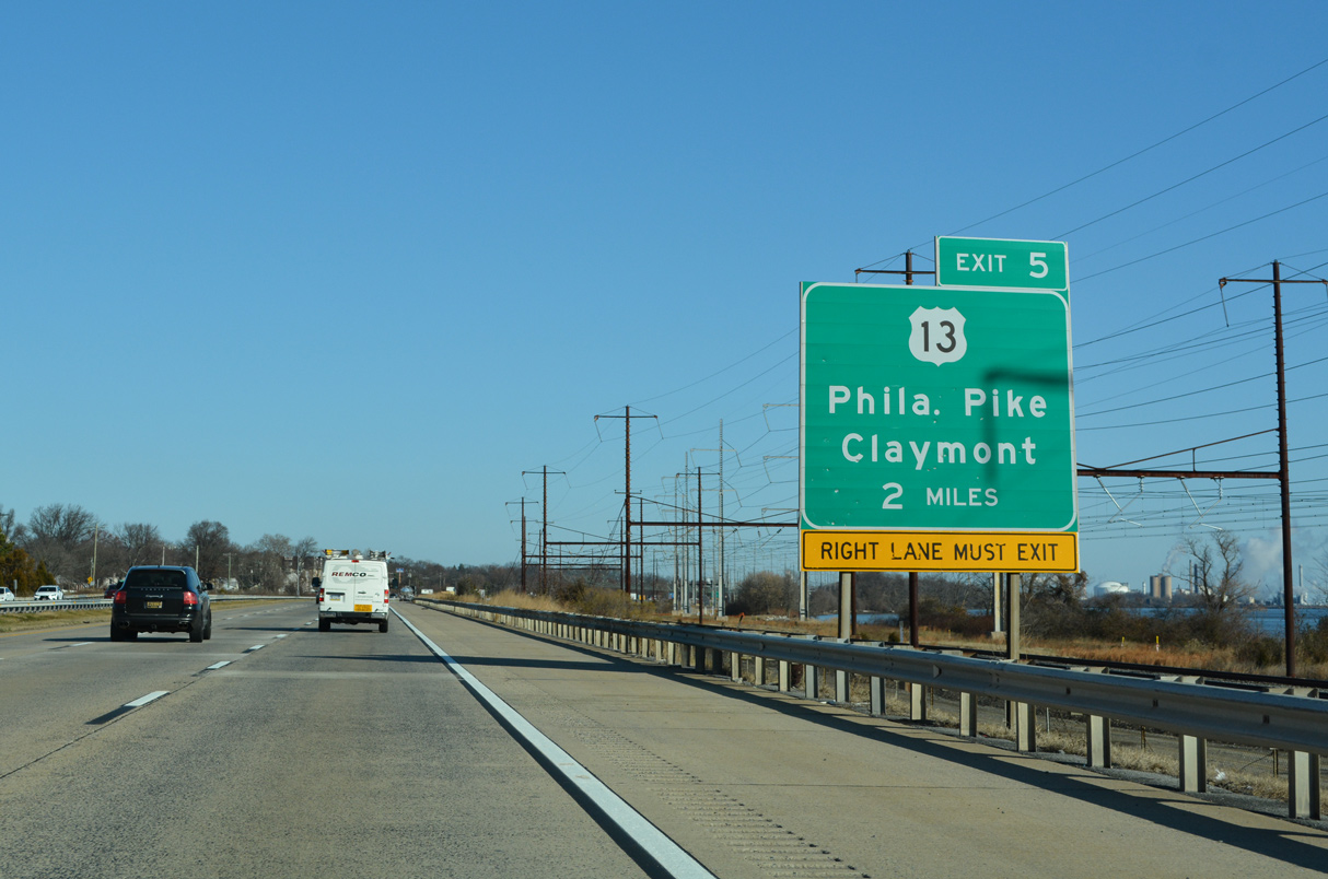
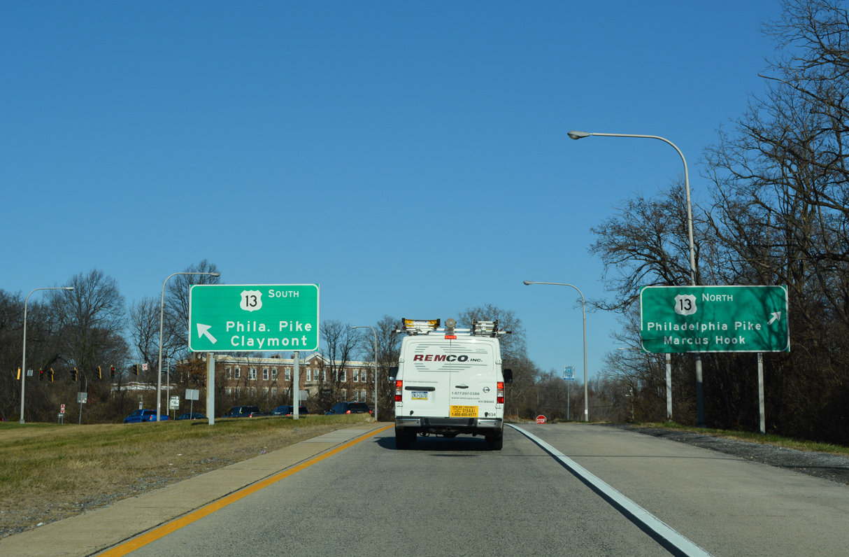
U.S. 13 (Governor Printz Boulevard) curves away from the Delaware River and overtakes Philadelphia Pike from U.S. 13 Business in Claymont. Philadelphia Pike meets I-495 just beyond the Reserve at Darley Green mixed use development.
12/20/22
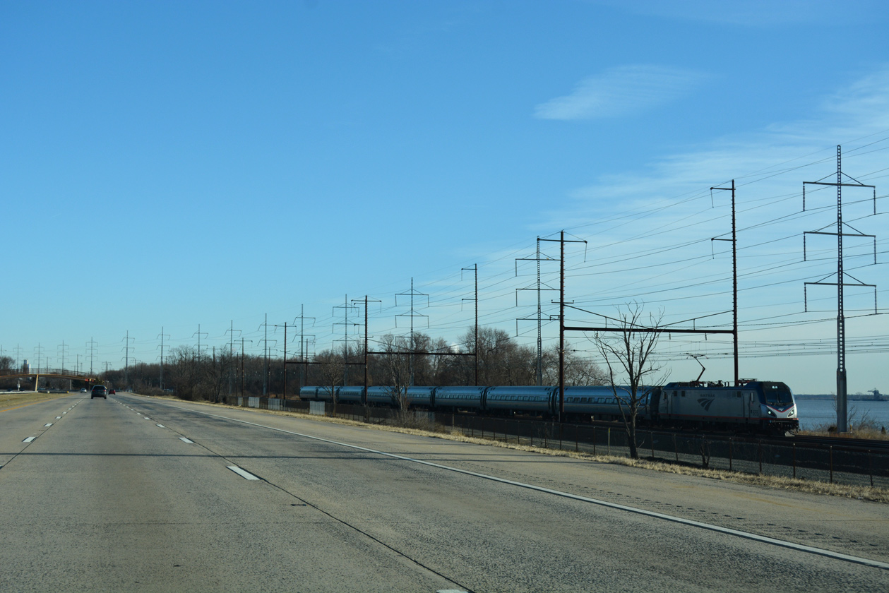
An AMTRAK train heads south toward Wilmington in this scene preceding the Claymont SEPTA Station.
12/19/16
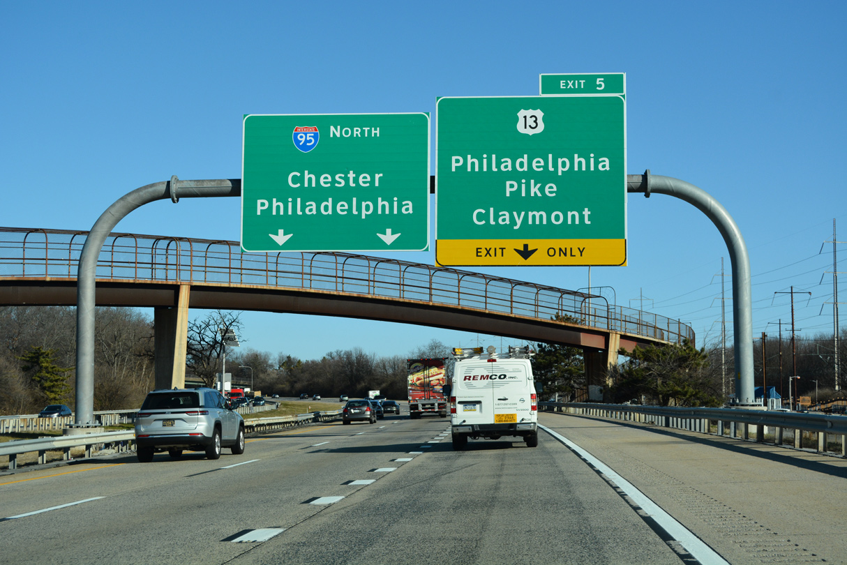
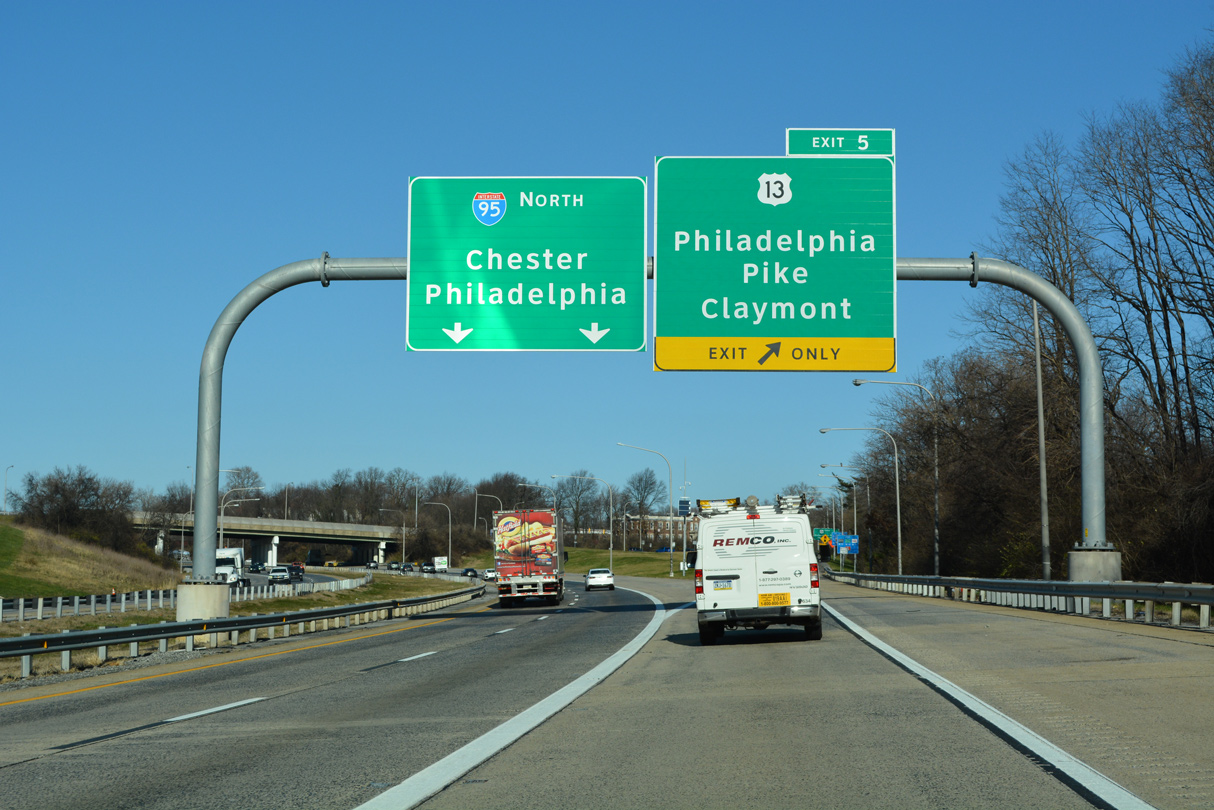
A pedestrian bridge spans Interstate 495 between Governor Printz Boulevard and the Claymont SEPTA Station. The freeway curves northwest on the final mile to Exit 5 and the wye interchange with Interstate 95 north.
12/20/22
U.S. 13 (Philadelphia Pike) travels northeast from Exit 5 into Marcus Hook, Pennsylvania. Many oil refineries and industrial plants line U.S. 13 between Claymont and Chester, Pennsylvania.
12/20/22
U.S. 13 follows Philadelphia Pike southwest 0.72 miles to Governor Printz Boulevard, where U.S. 13 Business begins.
12/20/22
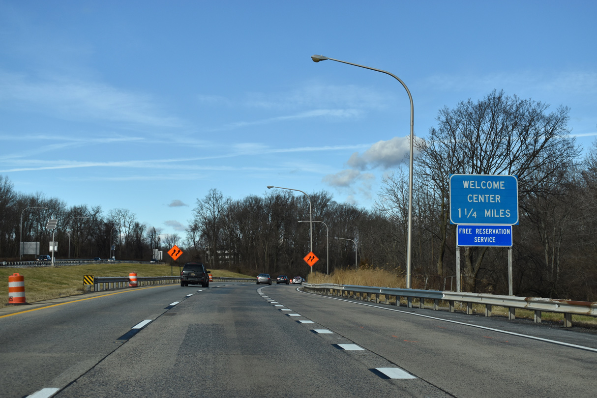
Motorists remaining on I-495 default onto I-95 north ahead of the Pennsylvania welcome center and Chichester Avenue at Boothwyn.
01/01/19
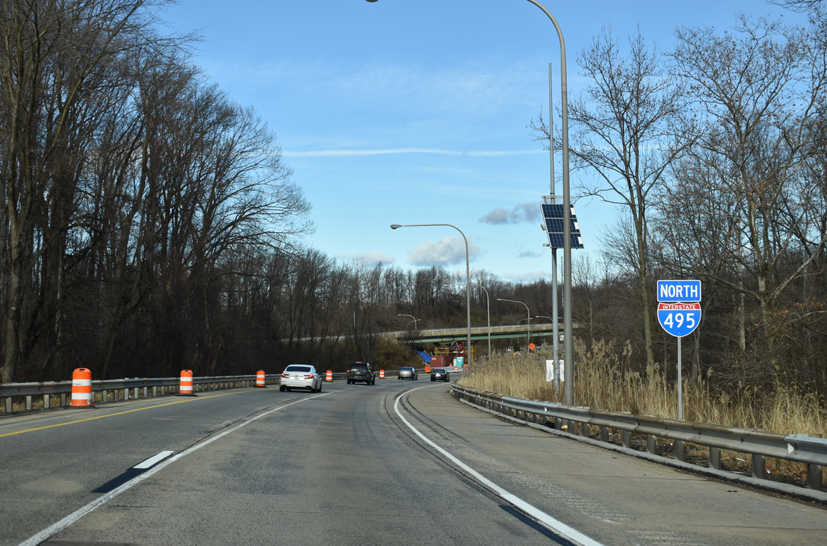
Interstate 495 winds through a wooded area by Woods Haven Kruse Park between U.S. 13 and I-95.
01/01/19
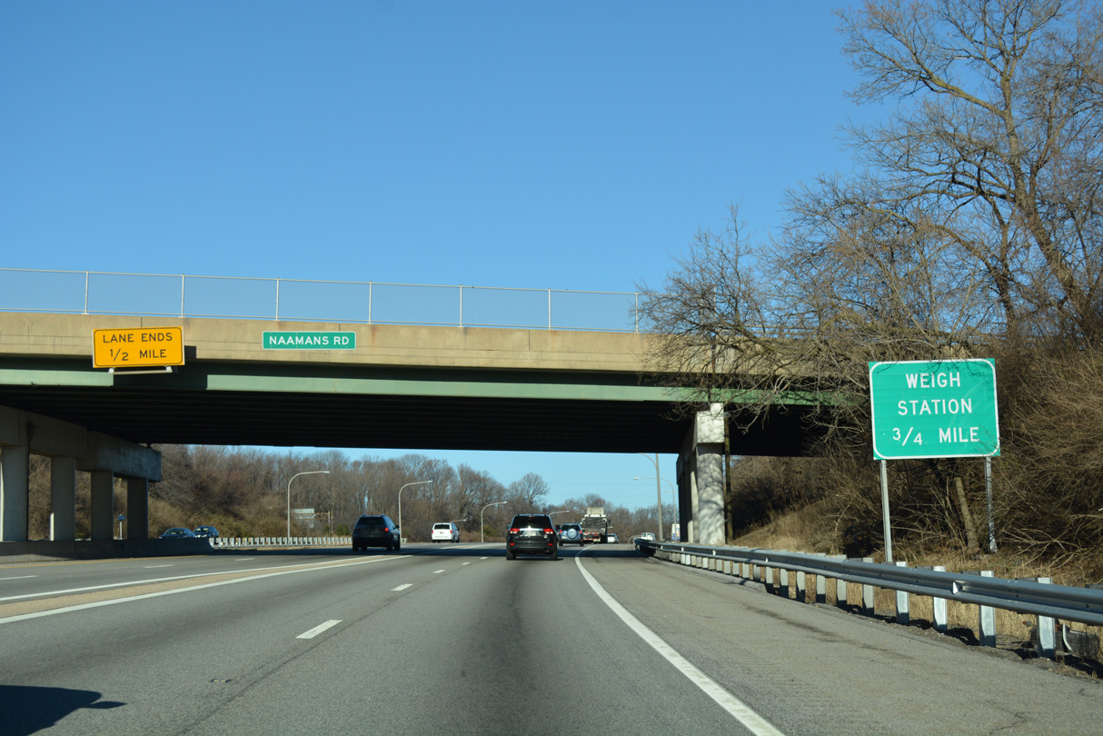
Traffic from I-495 north joins I-95 north below the SR 92 (Naamans Road) overpass. The forthcoming welcome center doubles as a truck weigh station.
12/27/16
References:
- "Del. closes I-495 bridge because of column tilt." Associated Press, June 2, 2014.
- "All I-495 lanes open." The News Journal (DE), August 25, 2014.
Photo Credits:
- Alex Nitzman: 06/03/12, 12/19/16, 12/21/16, 12/27/16, 01/01/19, 12/20/22
- AARoads: 12/23/12
- ABRoads: 10/05/14, 12/18/17
Connect with:
Page Updated Monday January 09, 2023.