
Highway 22 West - Johnson / Washington Counties

 West
West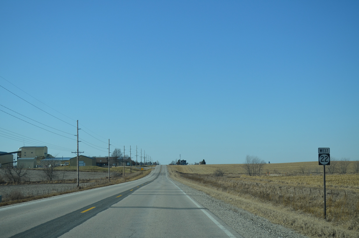
Continuing beyond the Muscatine County line along Iowa 22 west.
12/31/14
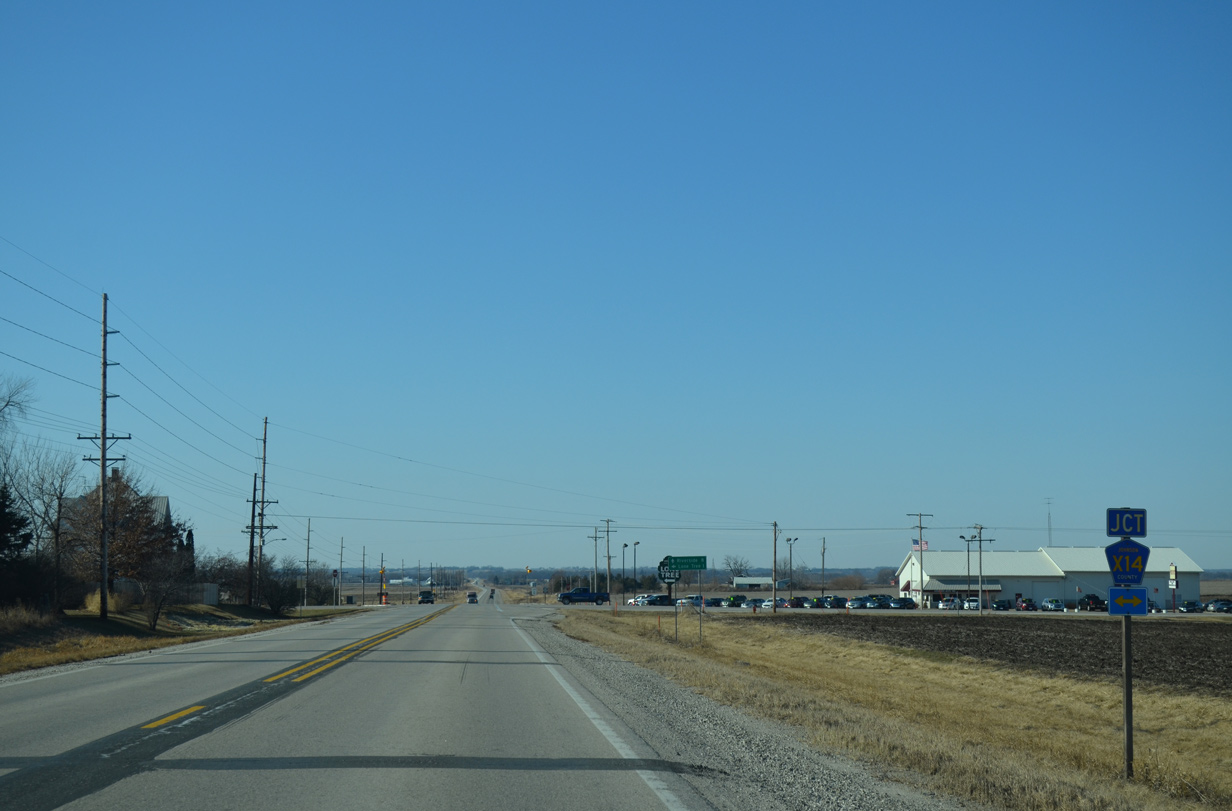
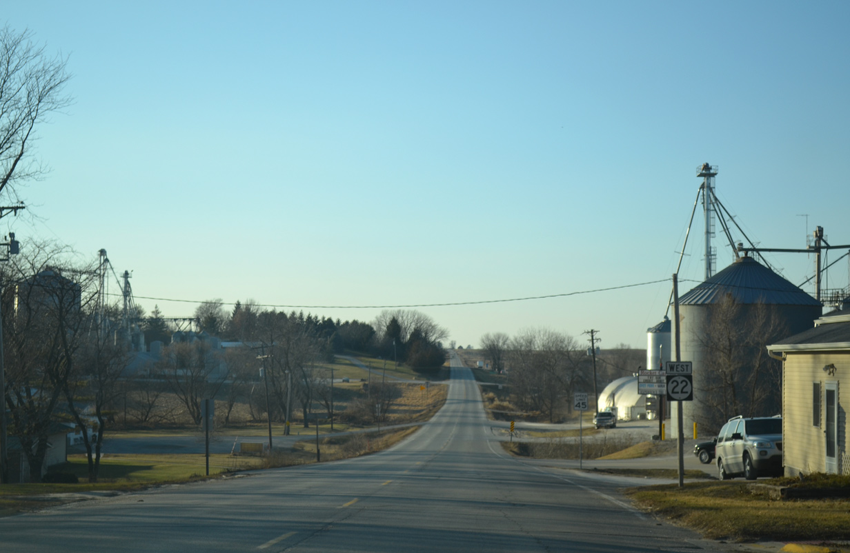
County Road X14 (Wapsi Avenue) connects Iowa 22 with the city of Lone Tree, one mile to the south.
12/31/14
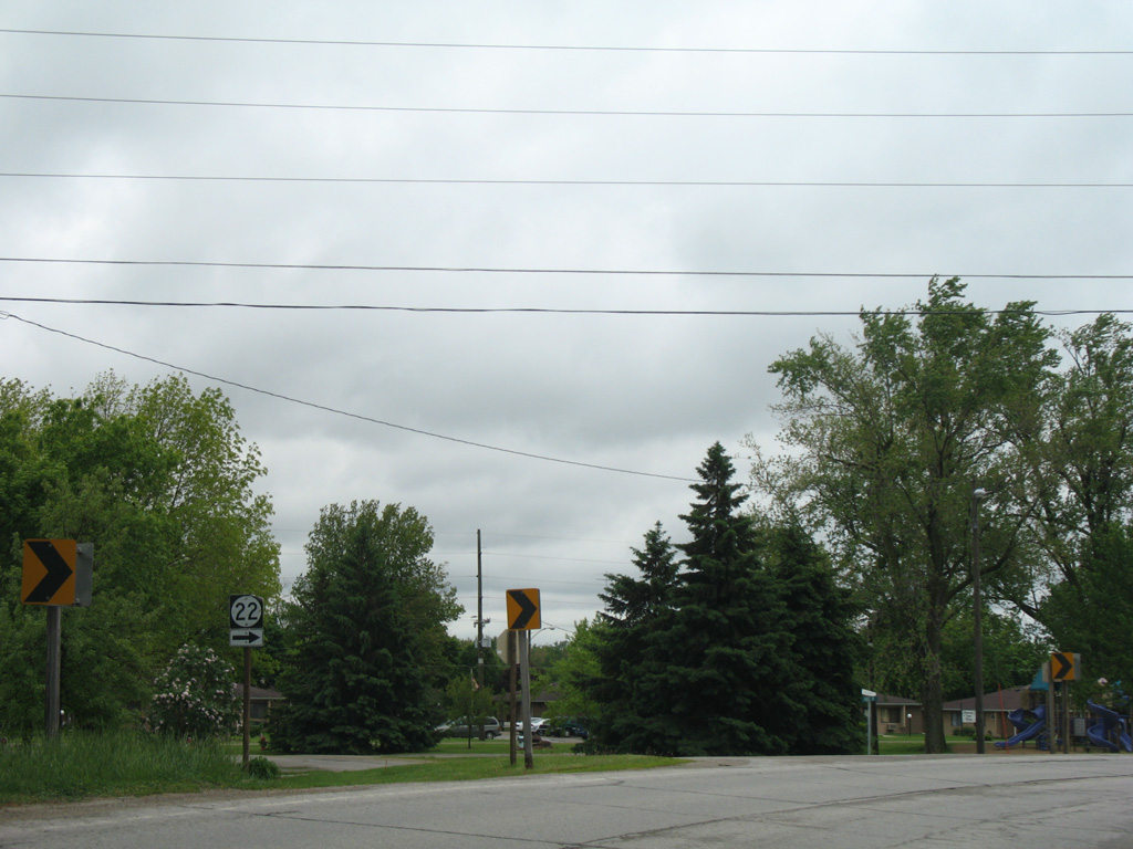
Iowa 22 stays outside of Lone Tree and next reaches Riverside in eight miles.
12/31/14
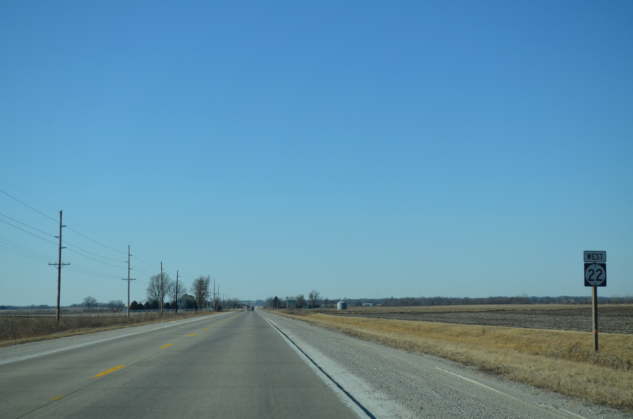
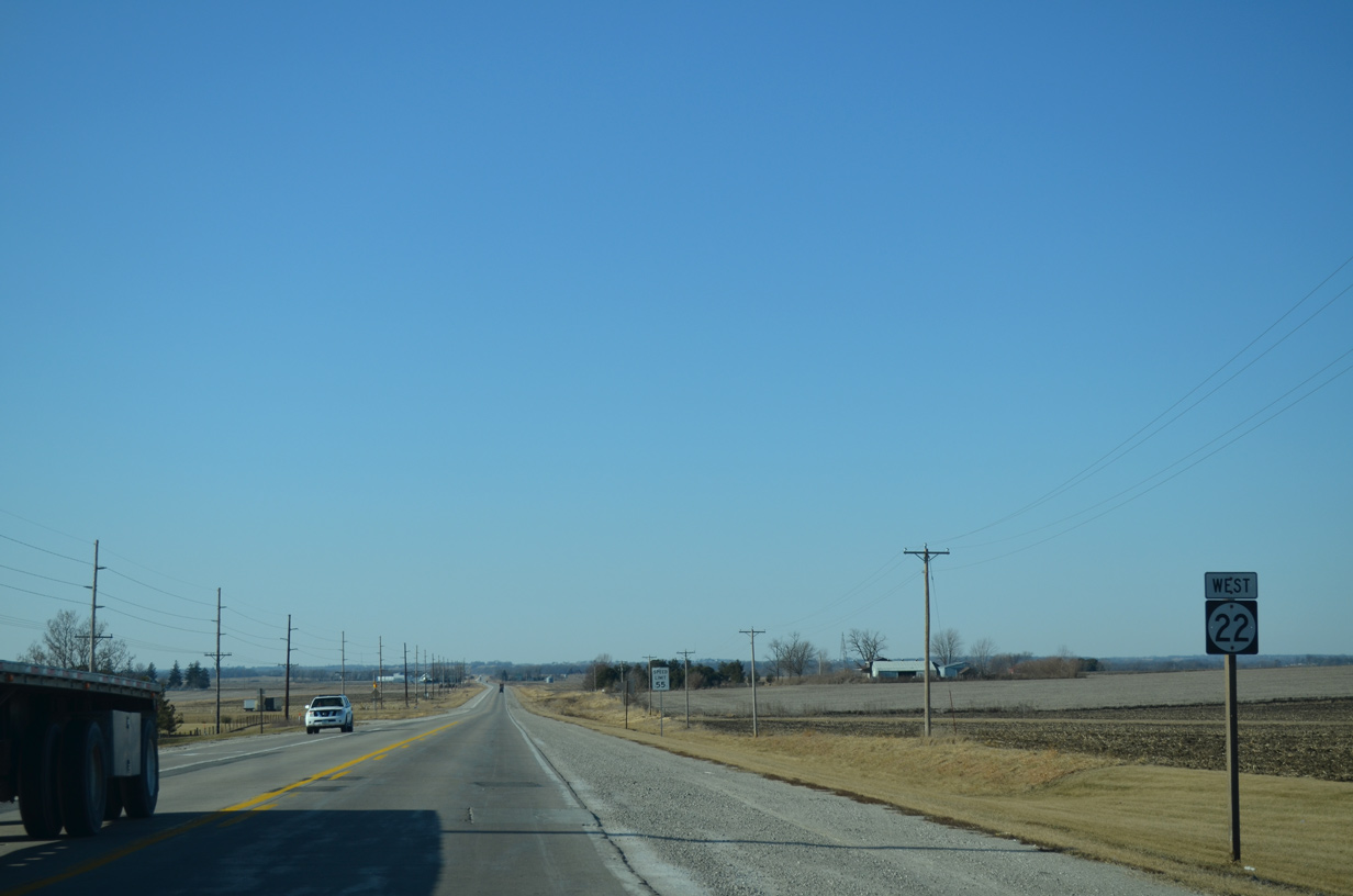
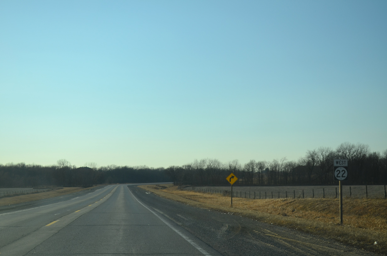
Iowa 22 remains due west to eastern Washington County.
12/31/14
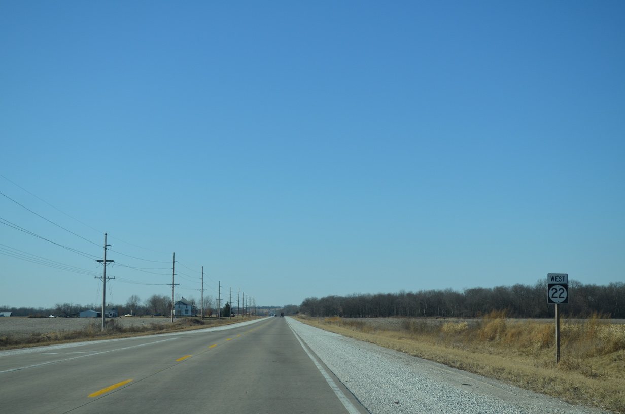
Westbound shield for IA 22 posted after Sioux Avenue.
12/31/14
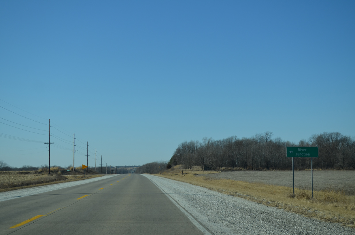
Otter Creek Road spurs south to the nearby settlement of River Junction
12/31/14
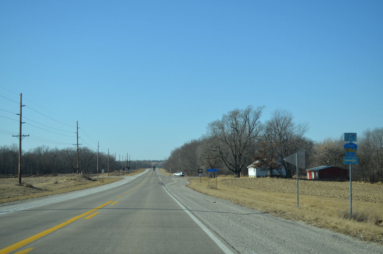
Johnson County Road W66 (Sand Road) meanders north from Iowa 22. The route mirrors the course of the Iowa River to Iowa City.
12/31/14
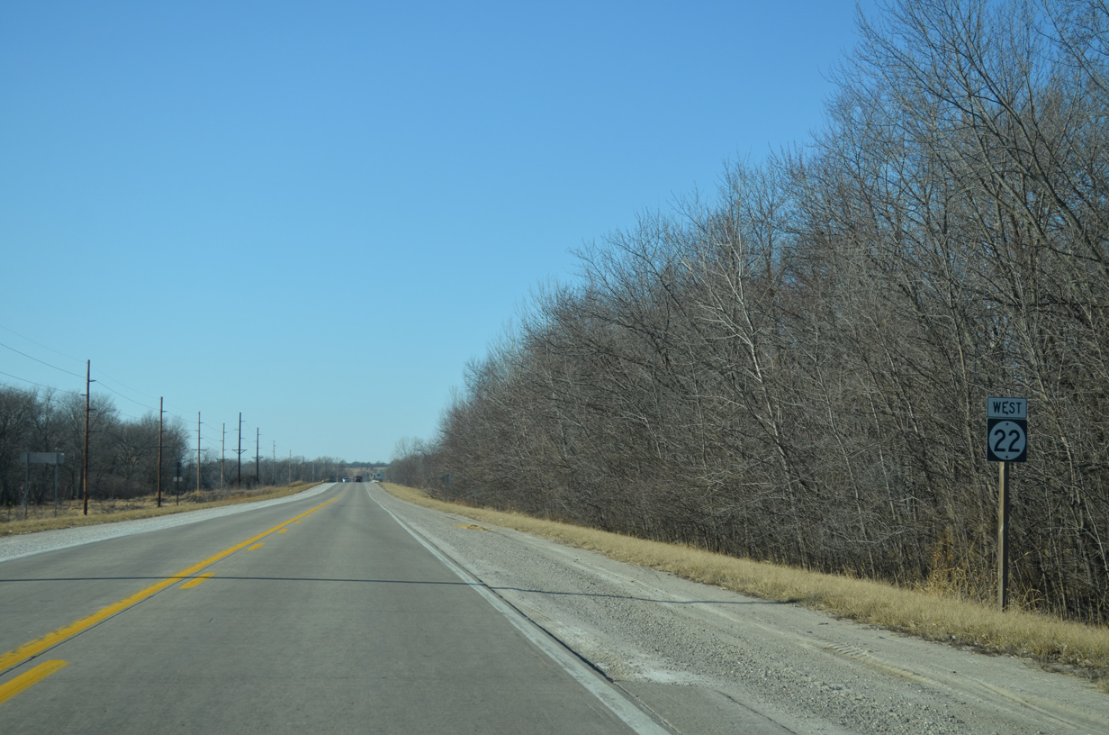
Forest stands appear along Iowa 22 preceding the Iowa River.
12/31/14
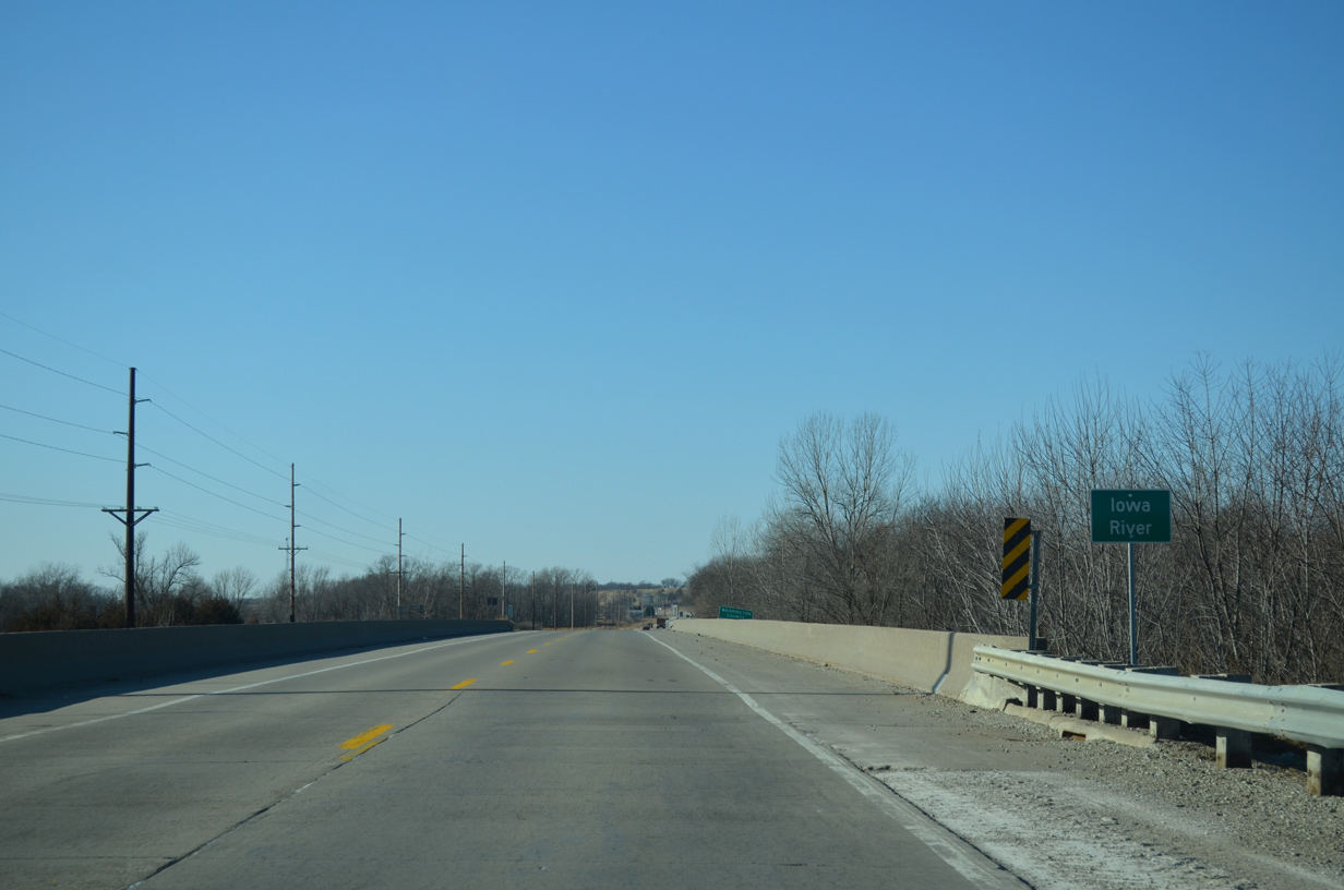
The 323 mile long Iowa River originates in Hancock County and ends at a confluence with the Mississippi River in Louisa County. The river can flood and did historically through Iowa City and Coralville in 2008.
12/31/14
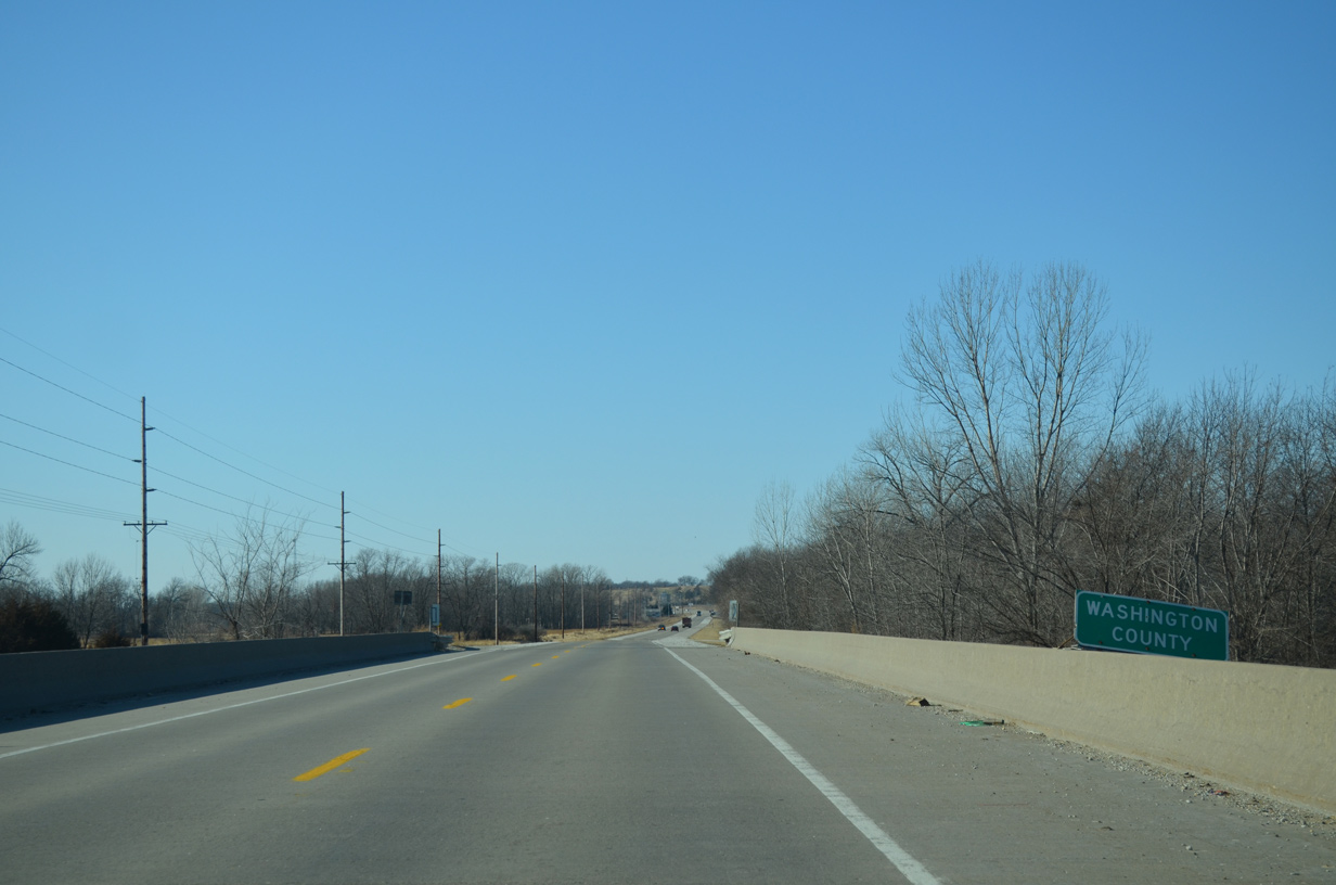
The midpoint across the Iowa River represents the Washington County line on Iowa 22 west.
12/31/14
A short distance west of the Iowa River is the Riverside Casino and Golf Resort.
12/31/14
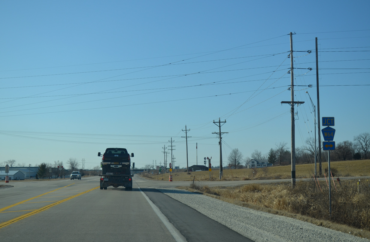
County Road W64 (Vine Avenue), the pre-1982 alignment of U.S. 218 between Riverside and Hills, intersects Iowa 22 just west of Riverside Casino. The two lane roadway parallels the U.S. 218 expressway / freeway northward into Iowa City and south toward Haskins.
12/31/14
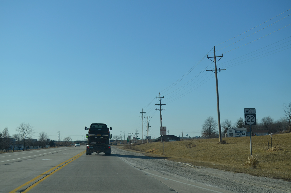
Iowa 22 between CR W64 (Vine Avenue) and U.S. 218 was expanded from two to three lanes after 2008 with the addition of a center turn lane.
12/31/14
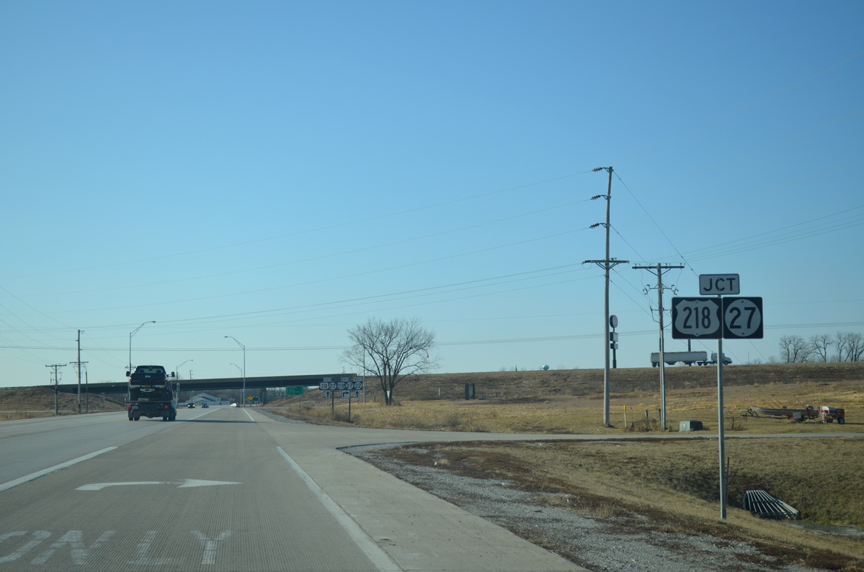
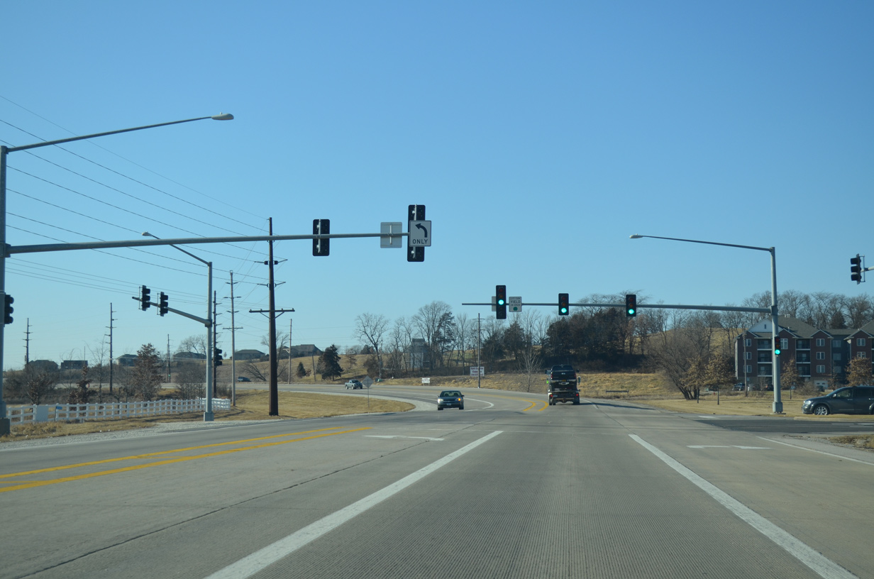
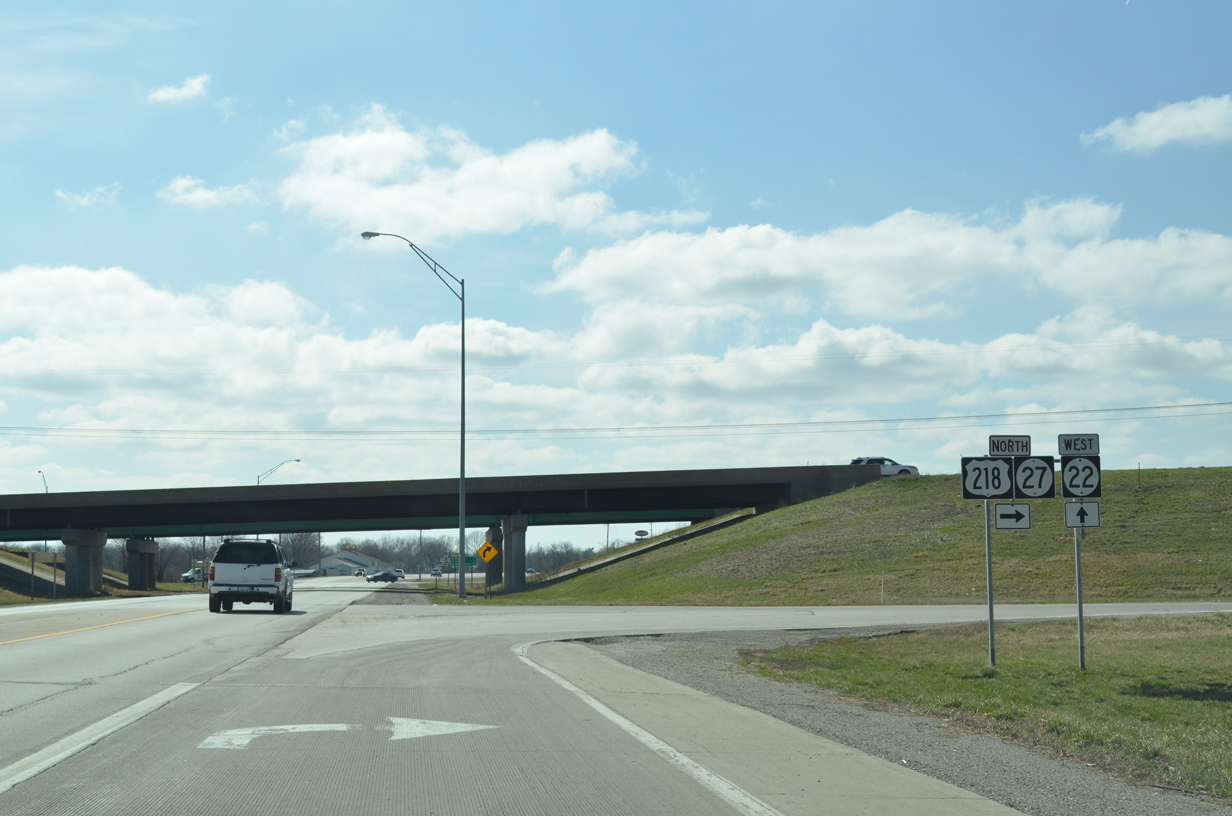
A diamond interchange joins Iowa 22 with U.S. 218/Iowa 27. Iowa 27 is the designation given to the Avenue of the Saints Corridor throughout the Hawkeye State. The route overlaps with U.S. 61, U.S. 218, Interstate 380, U.S. 20, U.S. 18 and I-35.
12/31/14
U.S. 218/Iowa 27 proceed north from the Riverside area to Iowa City and Coralville, where they combine with Interstate 380. I-380 doubles as U.S. 218 north to U.S. 30/151 on the south side of Cedar Rapids.
12/31/14
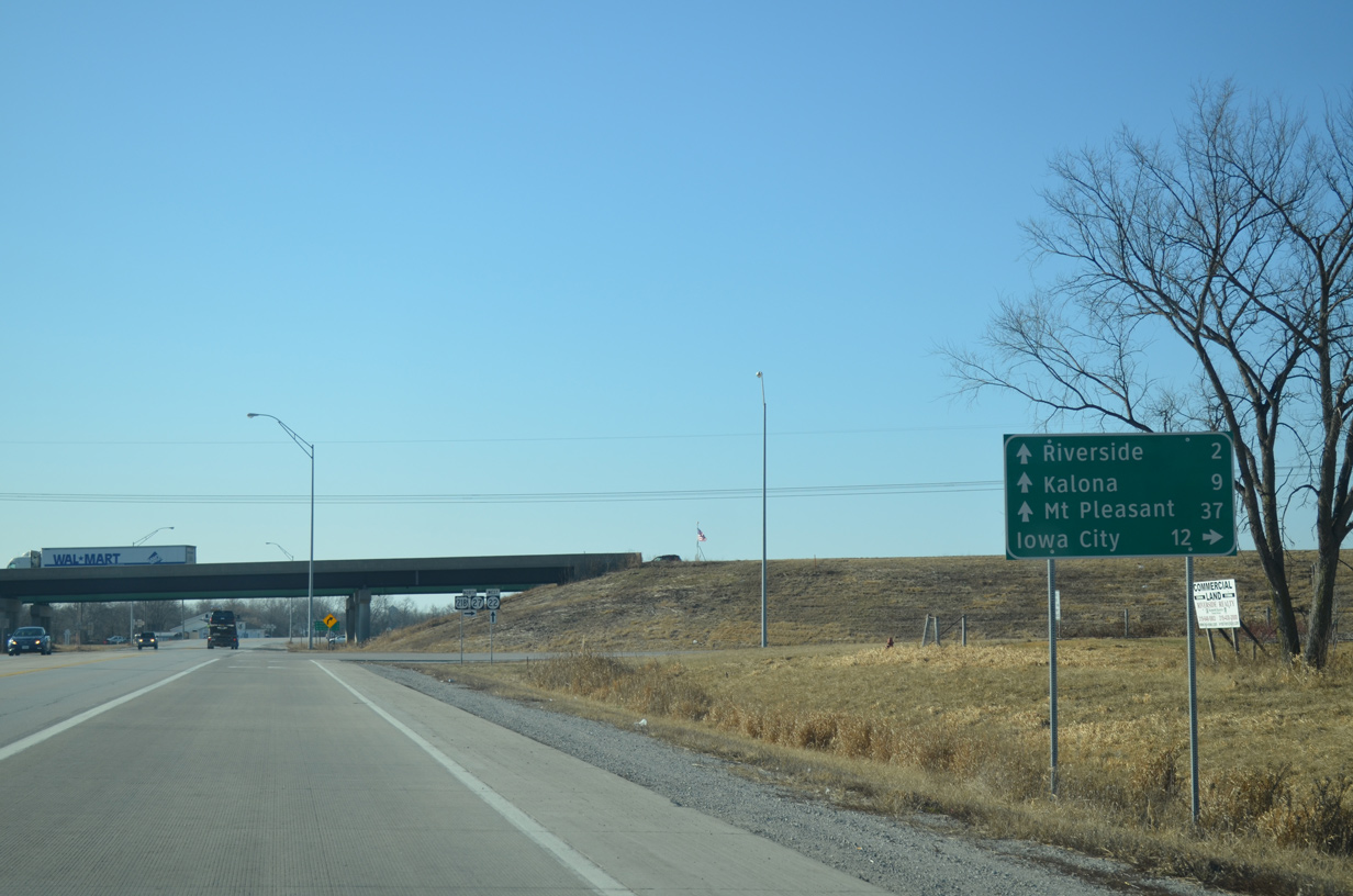
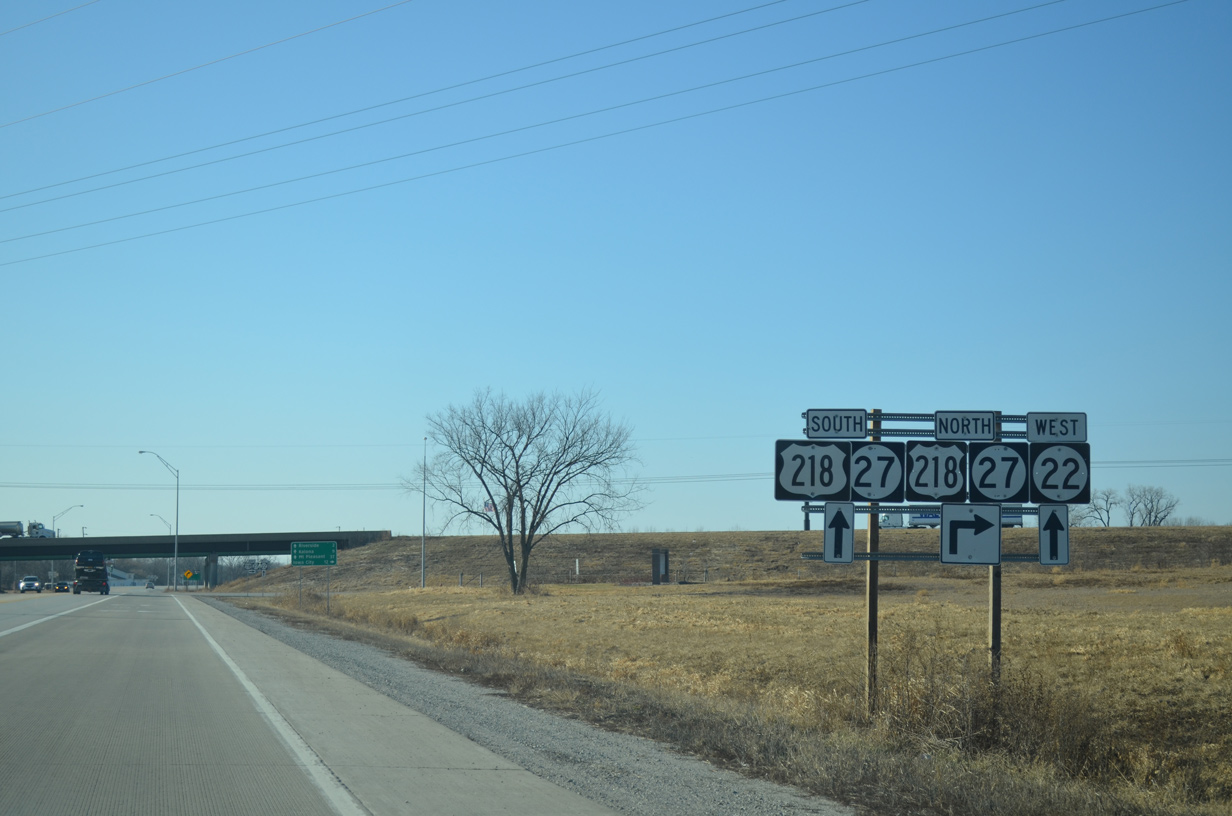
Iowa City, home of the University of Iowa, is a 12 mile drive to the north. U.S. 218 south continues 37 miles to Mount Pleasant.
12/31/14
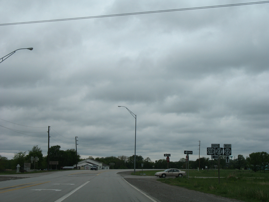
Drivers bound for U.S. 218/Iowa 27 north depart Iowa 22 west. Iowa 27 follows all of Interstate 380 to U.S. 20 at Waterloo.
03/25/16
U.S. 218/Iowa 27 transition from a freeway to an expressway just south of the adjacent English River at 130th Street. The controlled access route includes interchanges at select routes and a freeway bypass alongside U.S. 34/Iowa 163 at Mount Pleasant.
05/23/08

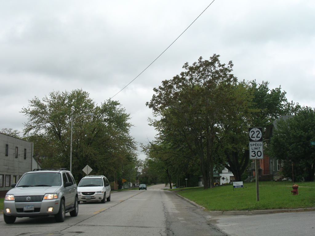
Advancing toward the city of Riverside along Iowa 22 west.
05/23/08

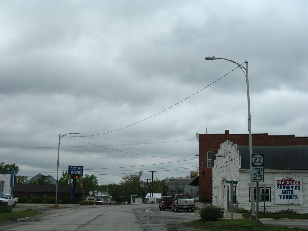
Iowa 22 enters the Riverside city limits at East Street. Riverside is home to around 1,000 and is the self proclaimed future birthplace of Captain James T. Kirk, from the Star Trek TV franchise.
05/23/08
Iowa 22 takes Hickory Street west to St. Marys Street and a southward turn to become 1st Street.
05/23/08
Curving southward into the Riverside street grid at St. Marys Street on IA 22 west.
05/23/08
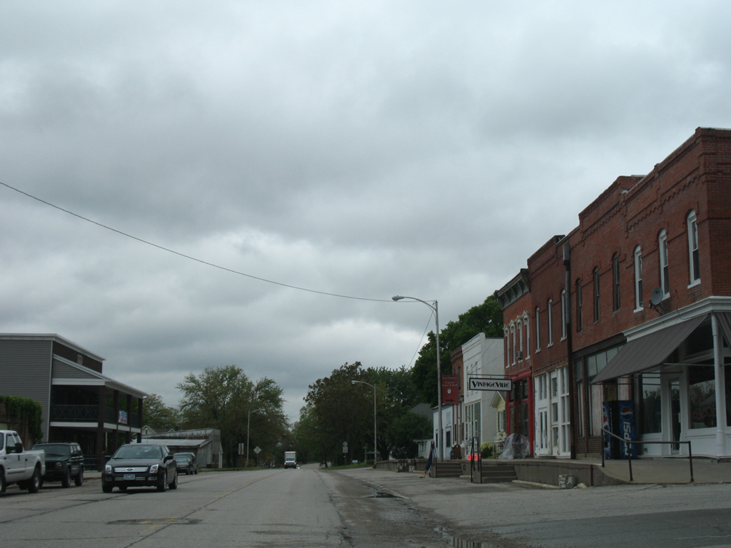
Iowa 22 turns again from Hickory to 1st Streets ahead of the Riverside business district.
05/23/08
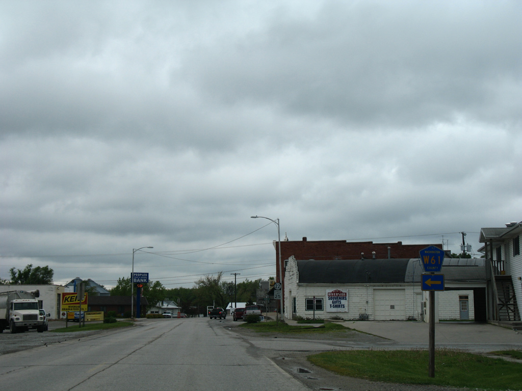
Washington County Road W61 (Pioneer Street) leads south from Iowa 22 (1st Street) to become Riverside Road en route to the city of Washington.
05/23/08
An Iowa 22 shield stands at the intersection of 1st and Greene Streets in Downtown Riverside.
05/23/08
The Future Birthplace of Captain James T. Kirk birthplace monument sits behind the storefronts between Washburn and Glasgow Streets off Iowa 22 (1st Street).
05/23/08
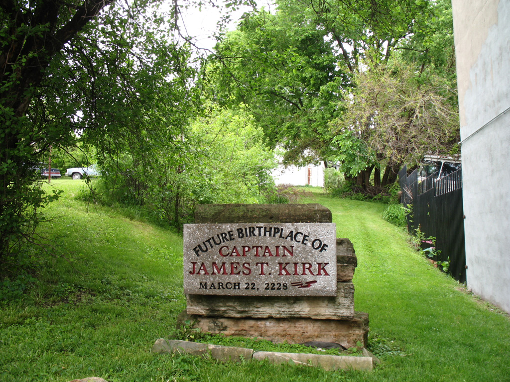
The monument to Captain Kirk is incorrect by five years, as the character's birthday is March 22, 2233.
05/23/08
A second shield marker for IA 22 west appears at Glasgow Street.
05/23/08
Iowa 22 (E Avenue) leaves the city of Kalona after intersecting Iowa 1 (1st Street).
12/31/14
The state highway swings southwest to cross the English River ahead of Juniper Avenue south and this shield assembly.
12/31/14
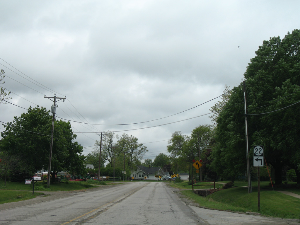
Iowa 22 meanders southwest through the Smith Creek valley on the approach to Wellman. This shield is posted after Hickory Avenue.
12/31/14
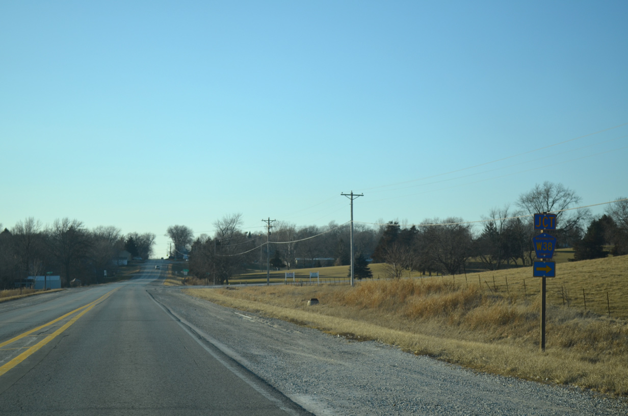
Washington County W38 (1st Avenue) enters the city of Wellman from the Iowa and Johnson County line three miles to the north.
12/31/14

Home to around 1,400, the city of Wellman incorporated in 1885 as a trade center focused on the Burlington, Cedar Rapids and Northern Railway.
Iowa 22 bisects the city along 6th Street while the former railroad line branched southwest to parallel 1st Street.
12/31/14
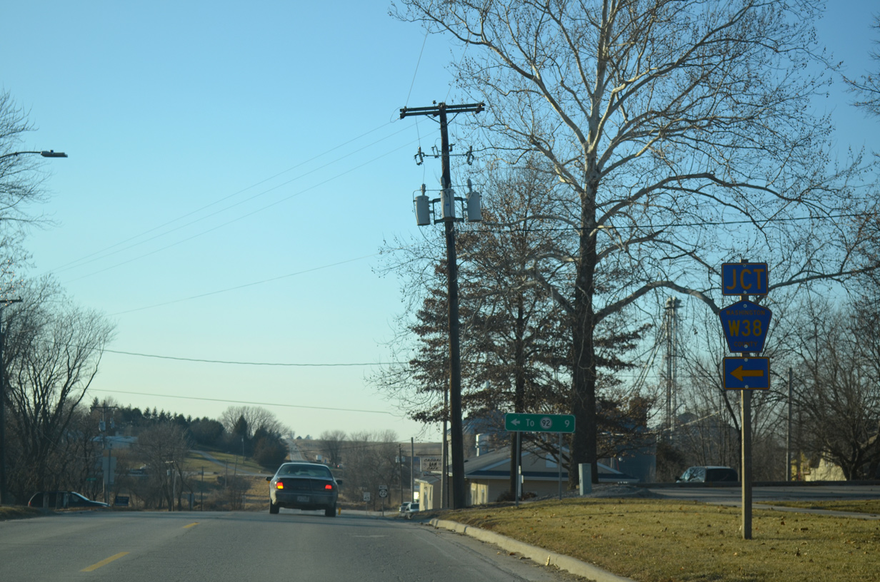
9th Avenue south from Iowa 22 (6th Street) becomes County Road W38 (Ginko Avenue), a north-south route linking Wellman with West Chester.
12/31/14
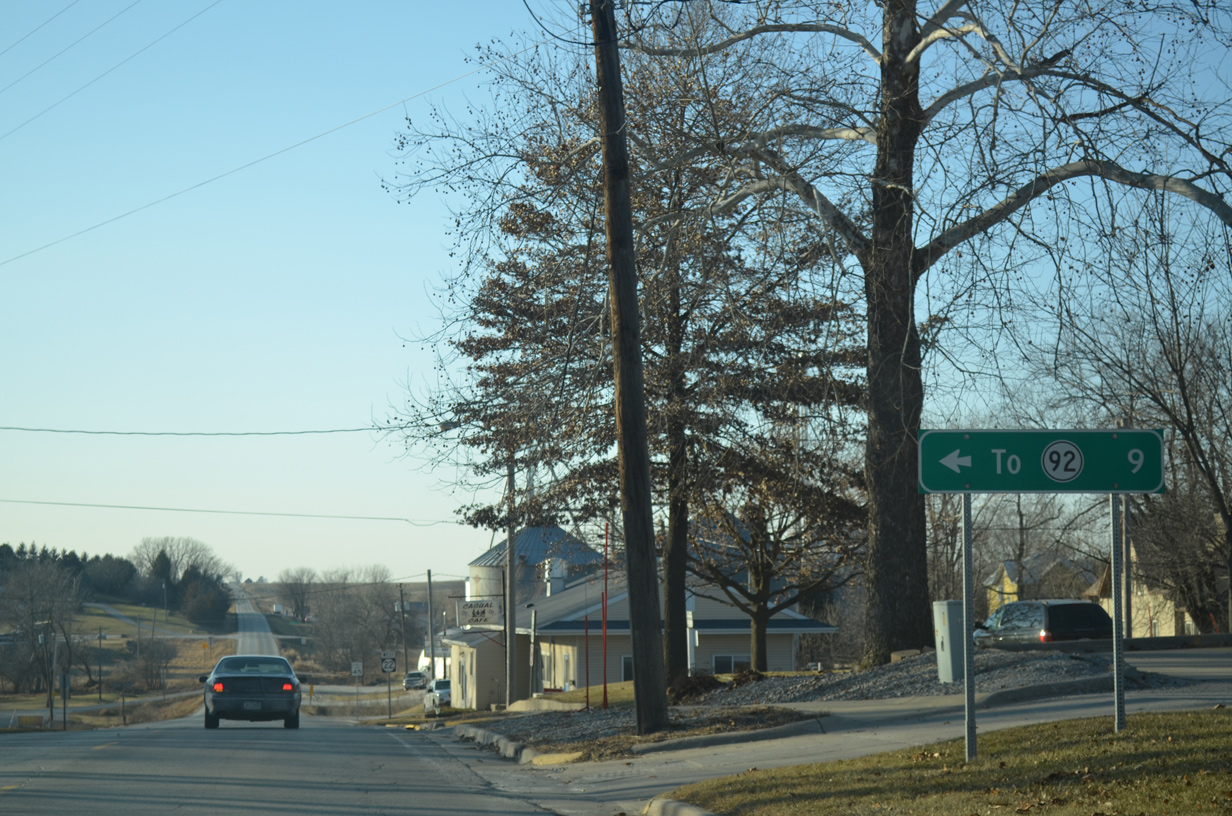
An older distance sign remains from when County Road W38 was state maintained as Iowa 114. Iowa 114 ran 9.2 miles south from Iowa 22 to Iowa 92 along 9th and Ginko Avenues. The state highway was decommissioned in 1980.
12/31/14
Iowa 22 transitions back into a rural highway from Wellman west to the Keokuk County line.
12/31/14
Photo Credits:
- Alex Nitzman, Scott Onson: 12/31/14
- Alex Nitzman, Bill Gatchel: 03/25/16
- AARoads: 05/23/08
- Alex Nitzman, Bill Gatchel, Scott Onson: 12/31/14
Connect with:
Page Updated Thursday December 05, 2019.