
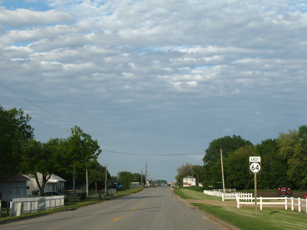
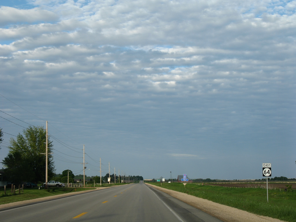
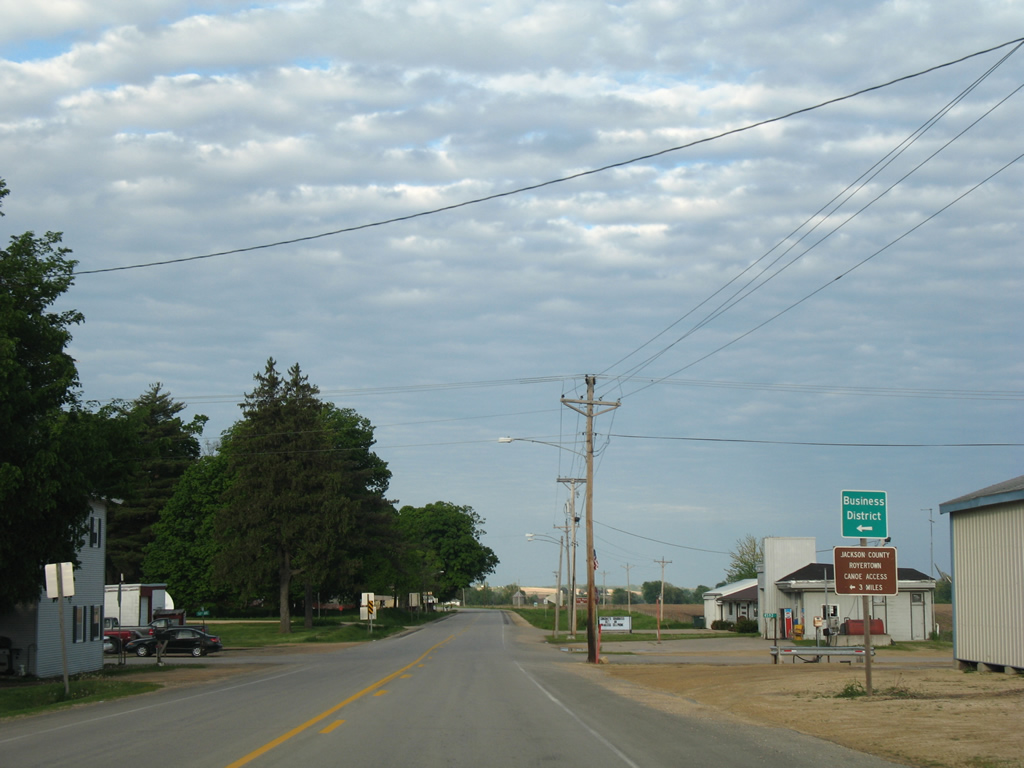
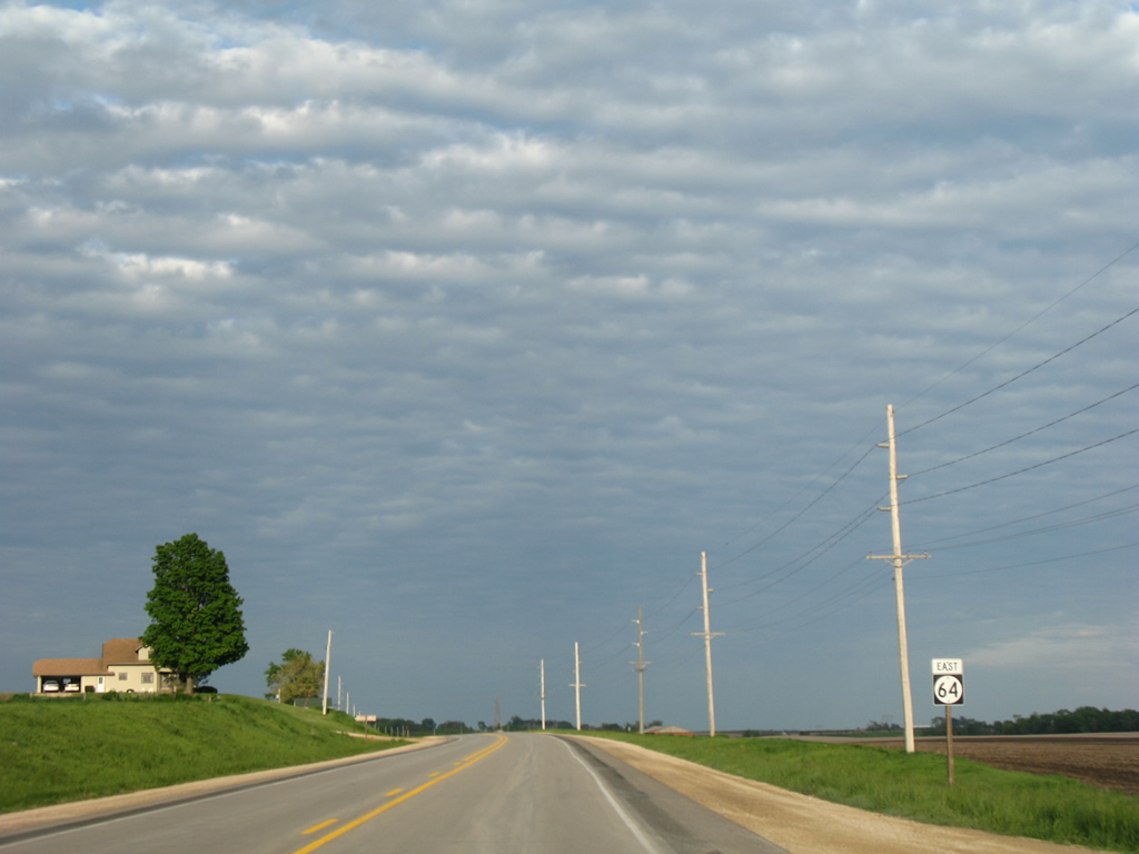
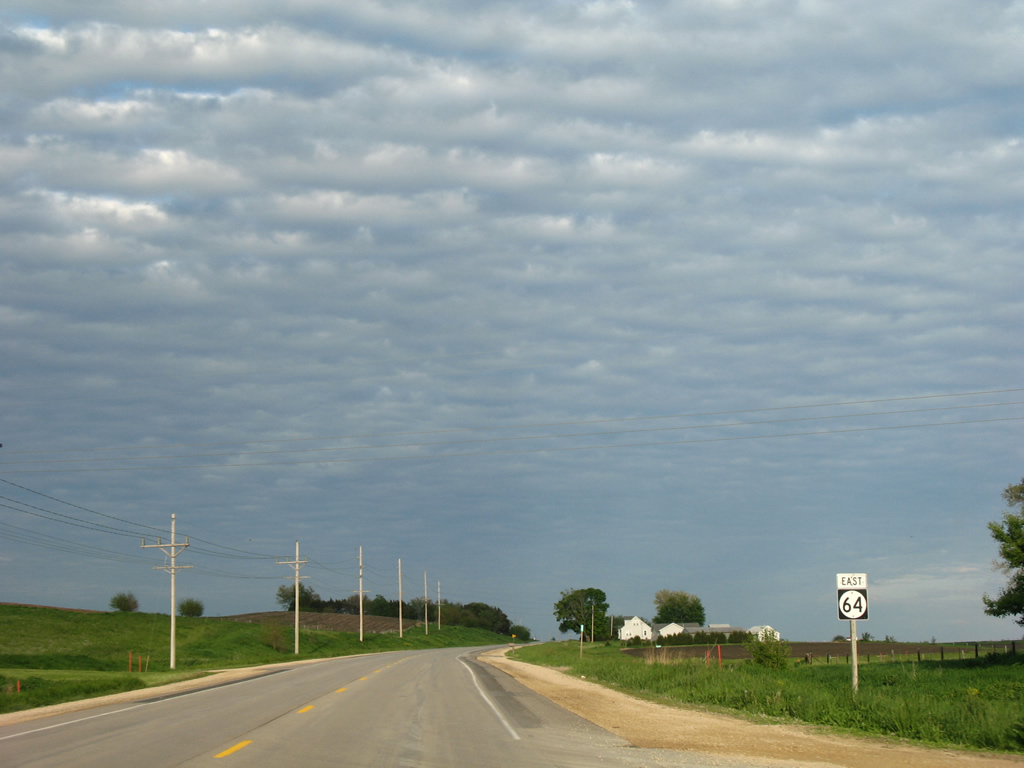
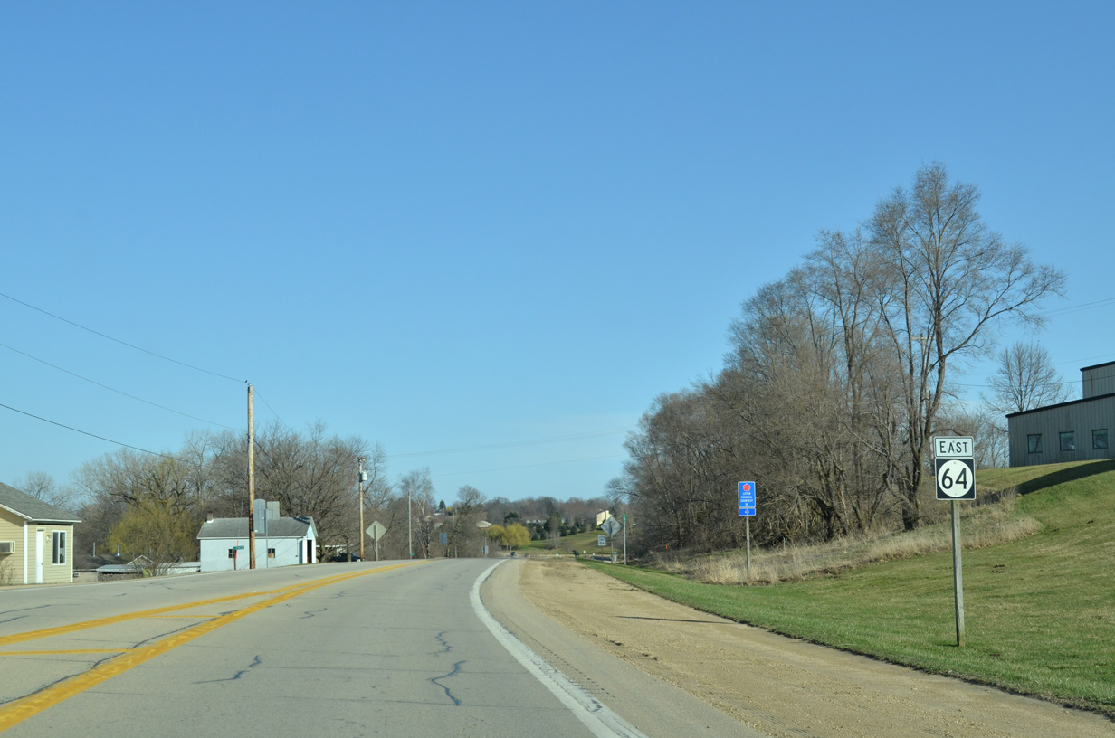
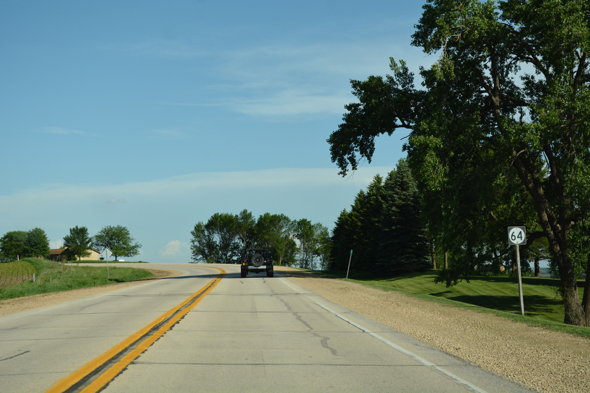
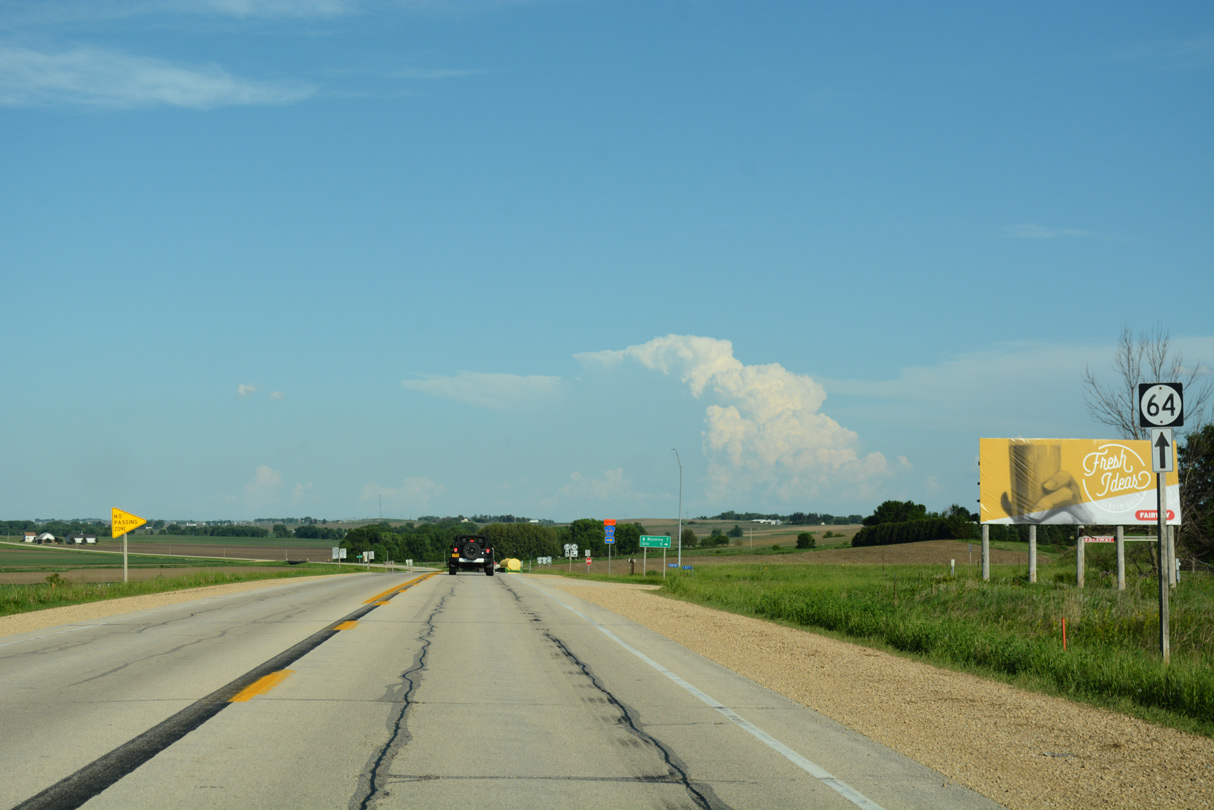
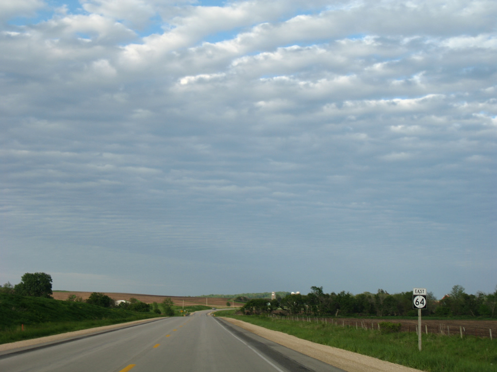
Highway 64 East
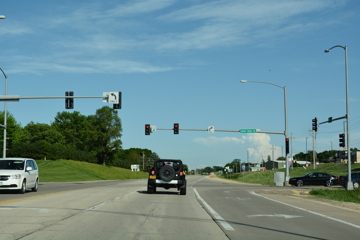
Iowa 64 enters a signalized intersection with Grant Wood Drive for adjacent big box retail to the immediate east of the parclo interchange with U.S. 151.
05/26/18
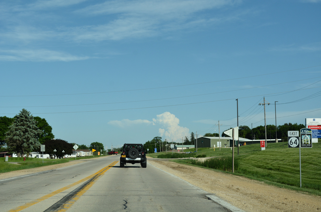
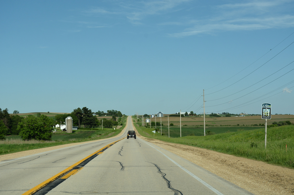
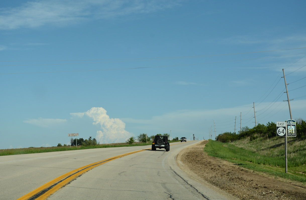
The first confirming marker for Iowa 64 stands east of Grant Wood Drive in Anamosa.
05/26/18
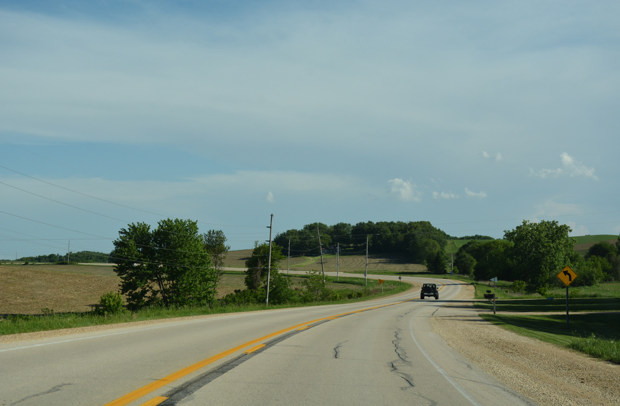
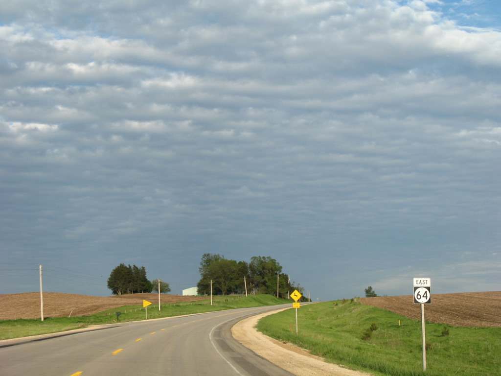
Iowa 64 winds south through a series of S curves from the Anamosa city line to Lead Mine Road in Jackson township.
05/26/18
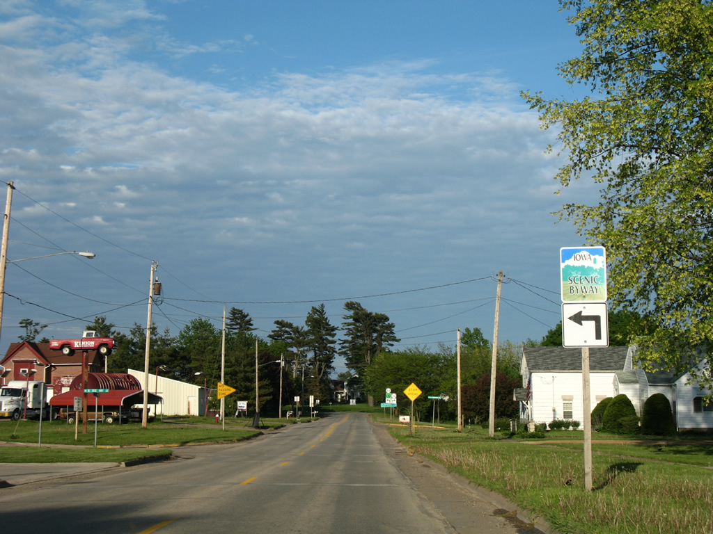
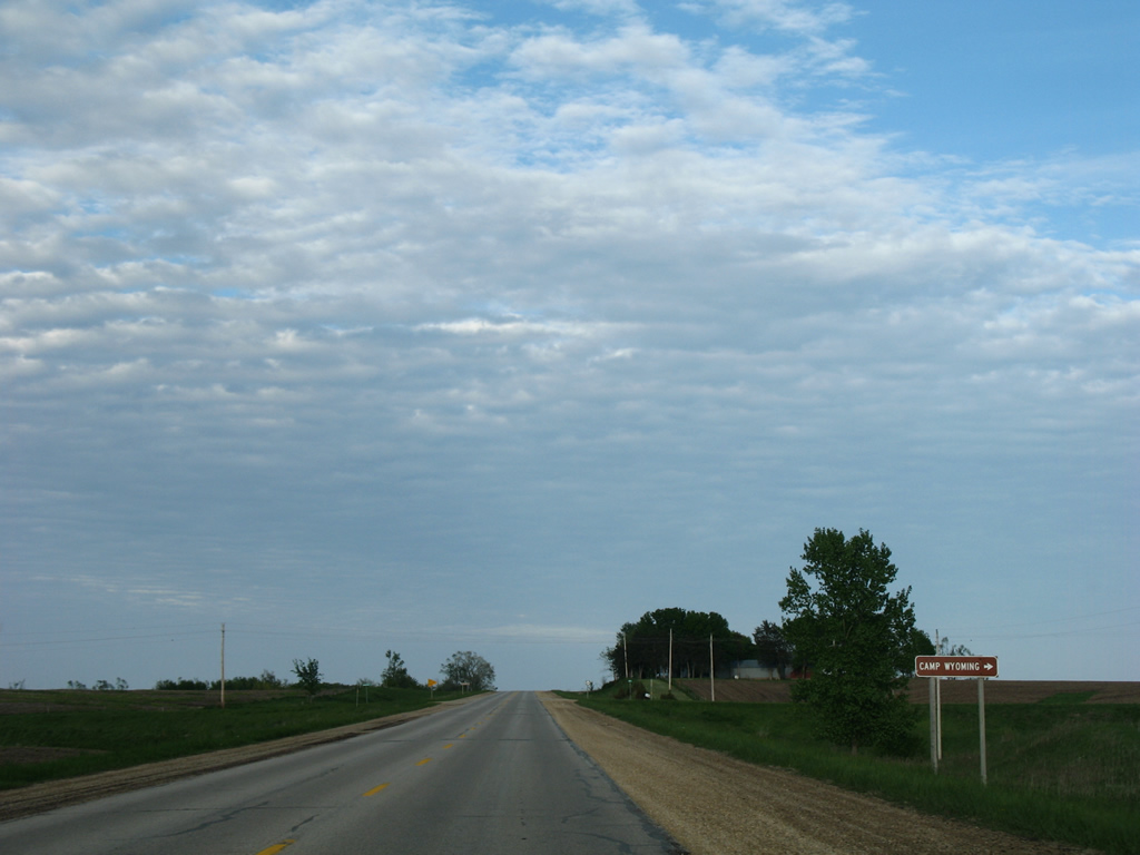
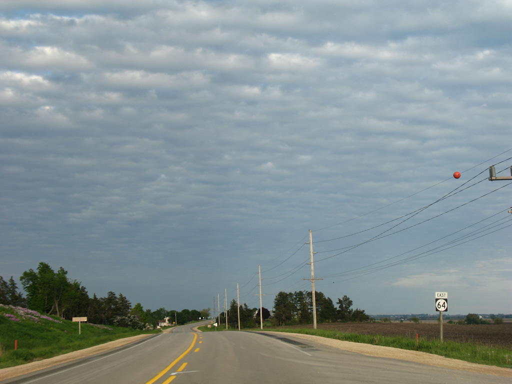
Highway 64 is a part of the Grant Wood Scenic Byway east to Maquoketa.
05/26/18
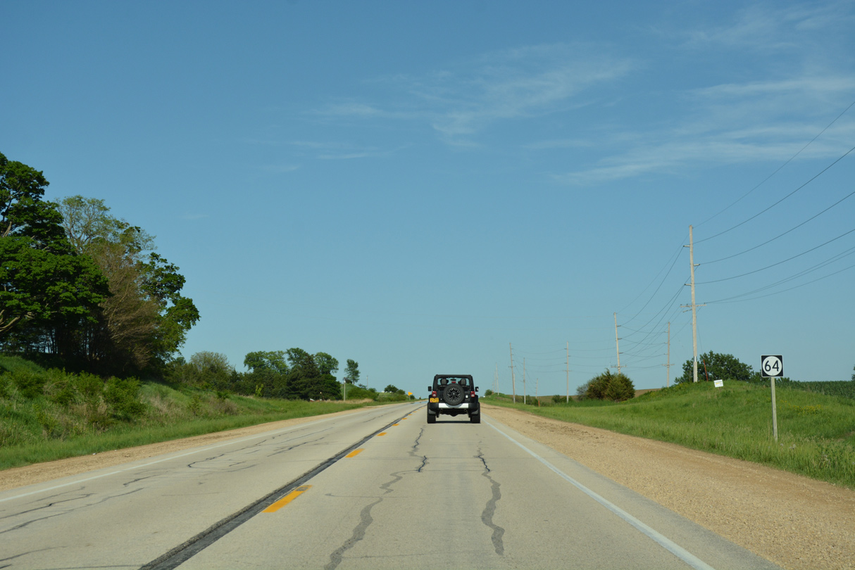
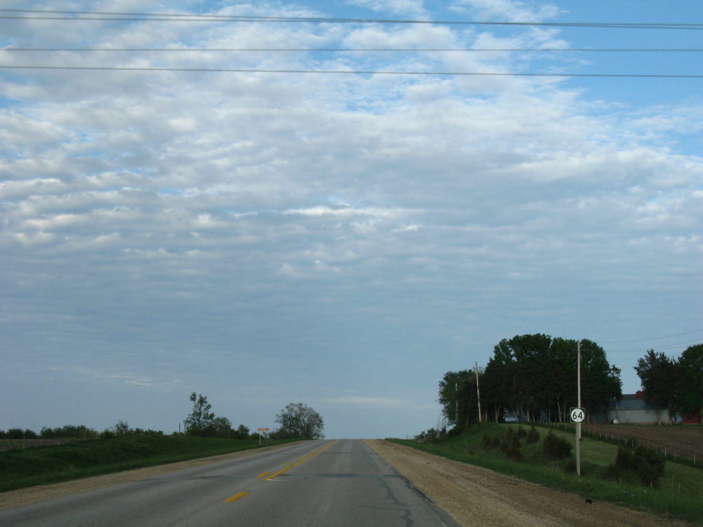
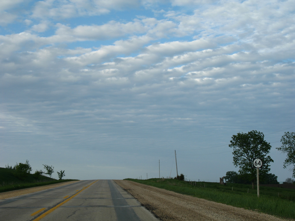
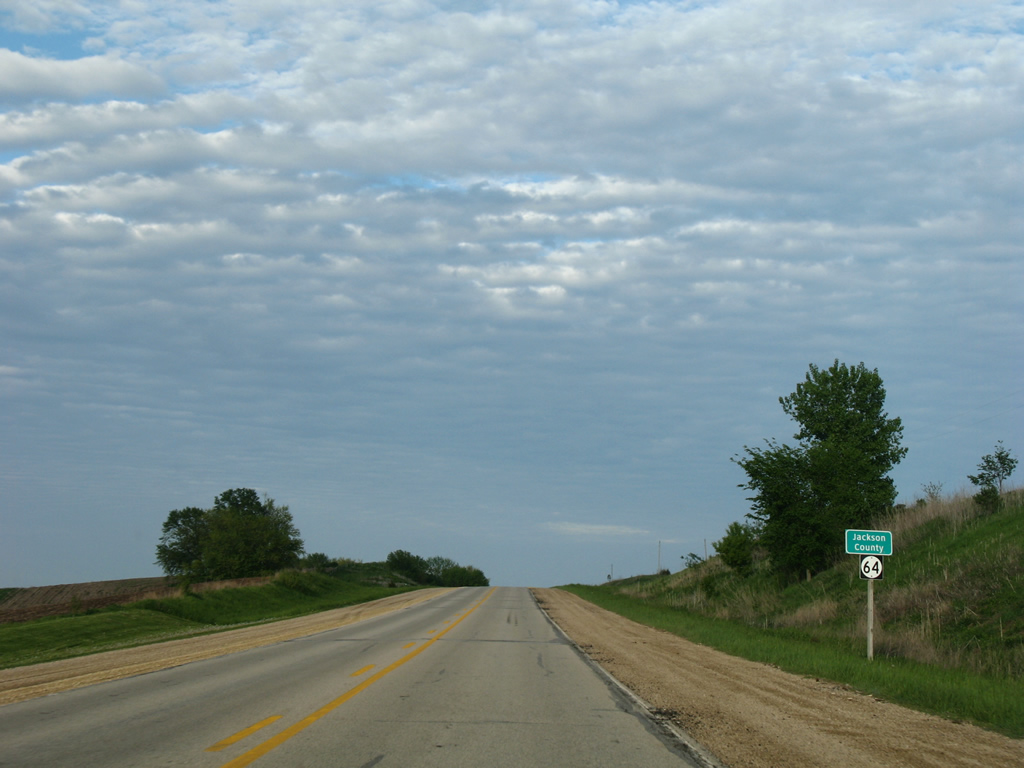
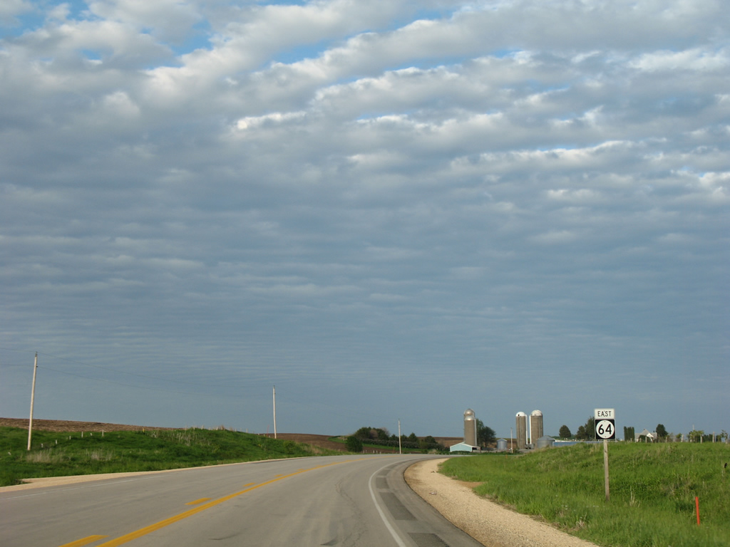
Highway 64 tops out at 885 feet in elevation at 160th Avenue in Jackson township.
05/26/18
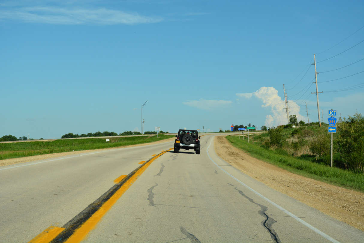
County Road X44 (Amber Road) runs 9.2 miles north from Iowa 64 to U.S. 151 at Monticello.
05/26/18
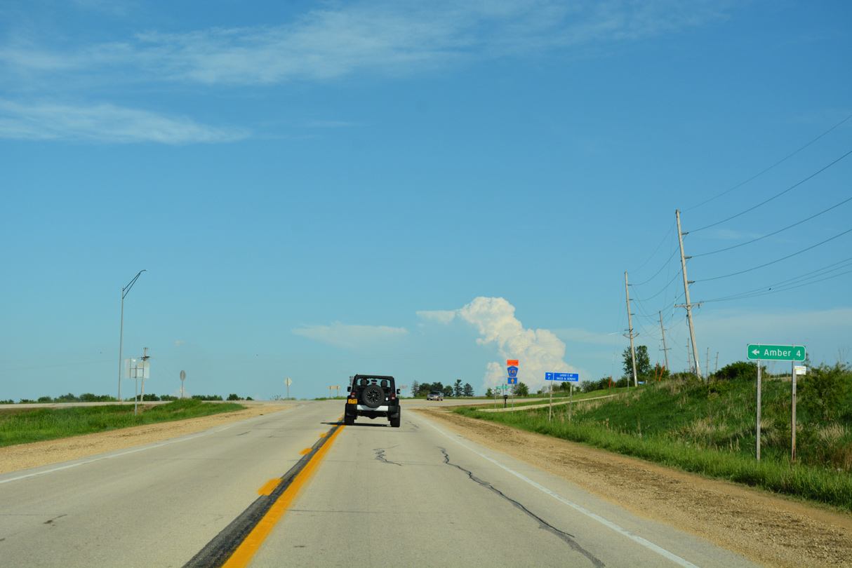
The community of Amber lies 3.4 miles north along CR X44 at CR E23.
05/26/18
The ensuing stretch of Iowa 64 parallels Bear Creek southeast into Madison township.
05/26/18
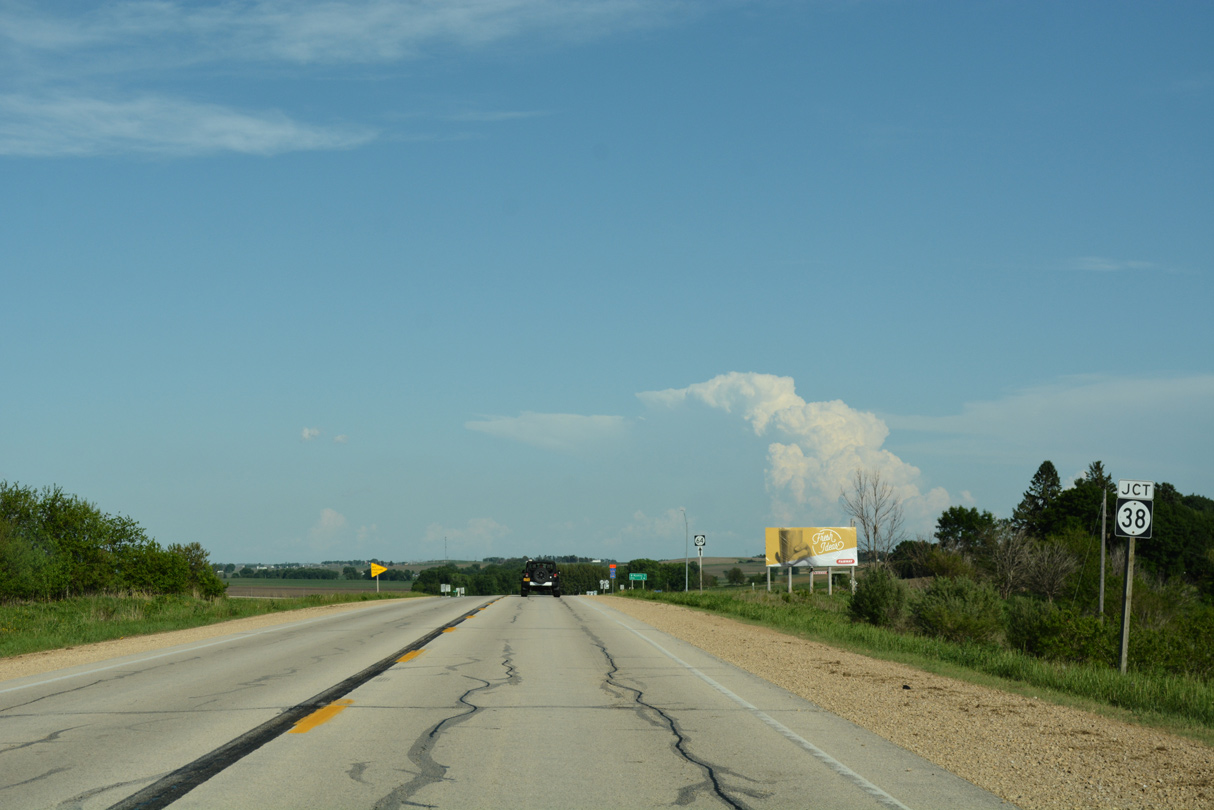
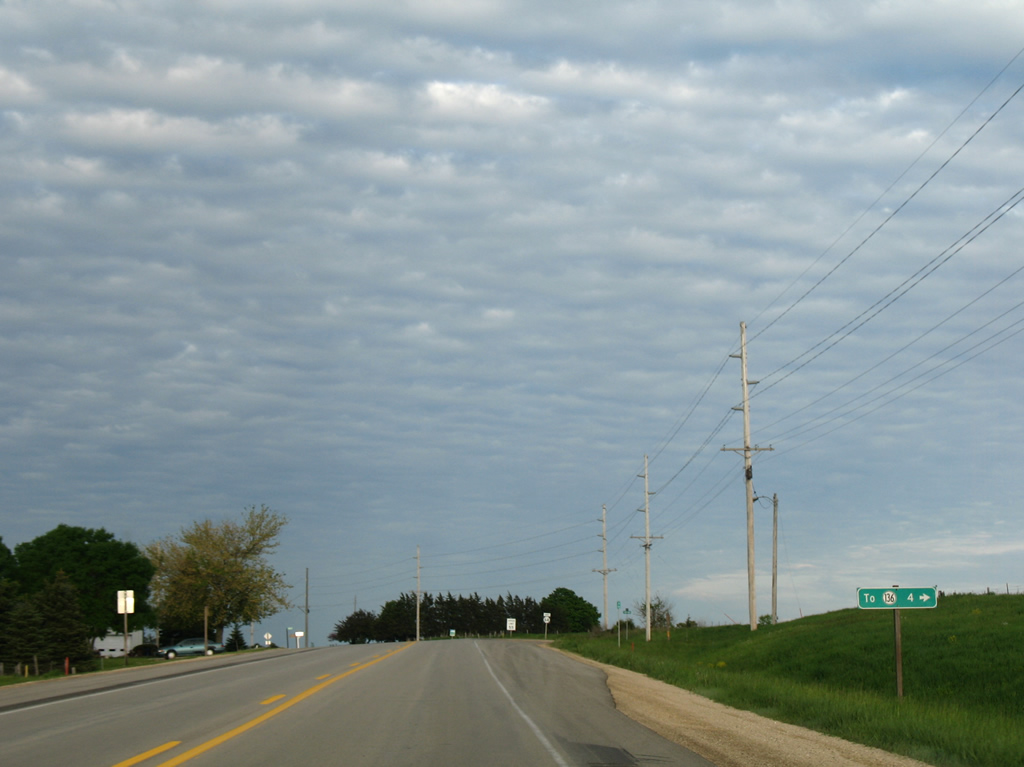
Approaching Iowa 38 south on Iowa 64 east in Jackson township.
05/26/18
Iowa 38 combines with Iowa 64, 4.3 miles north of the Olin city line. The state highway travels south to Stanwood, Tipton and ultimately Muscatine.
05/26/18
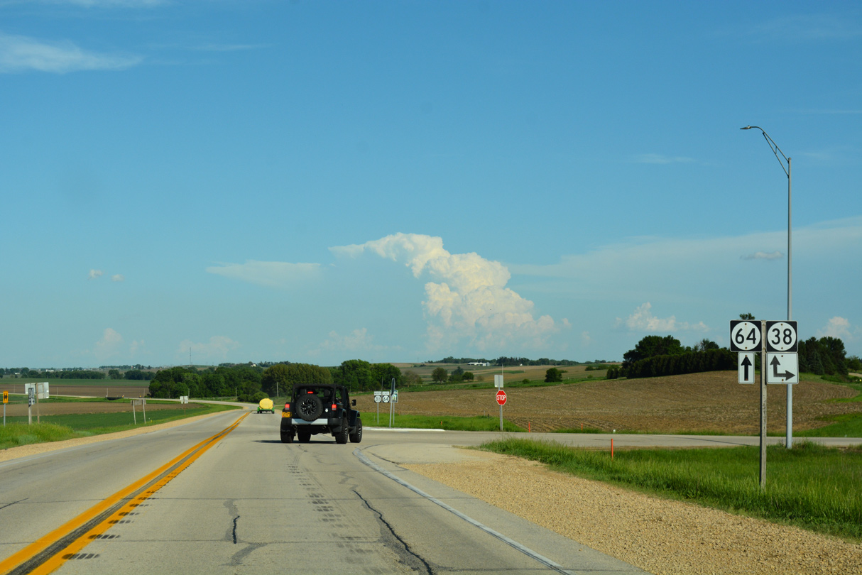
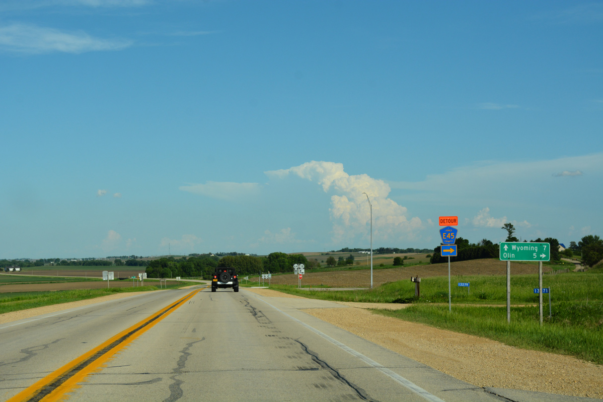
Iowa 38 dog legs east alongside Iowa 64 for two miles before resuming northward to Monticello.
05/26/18
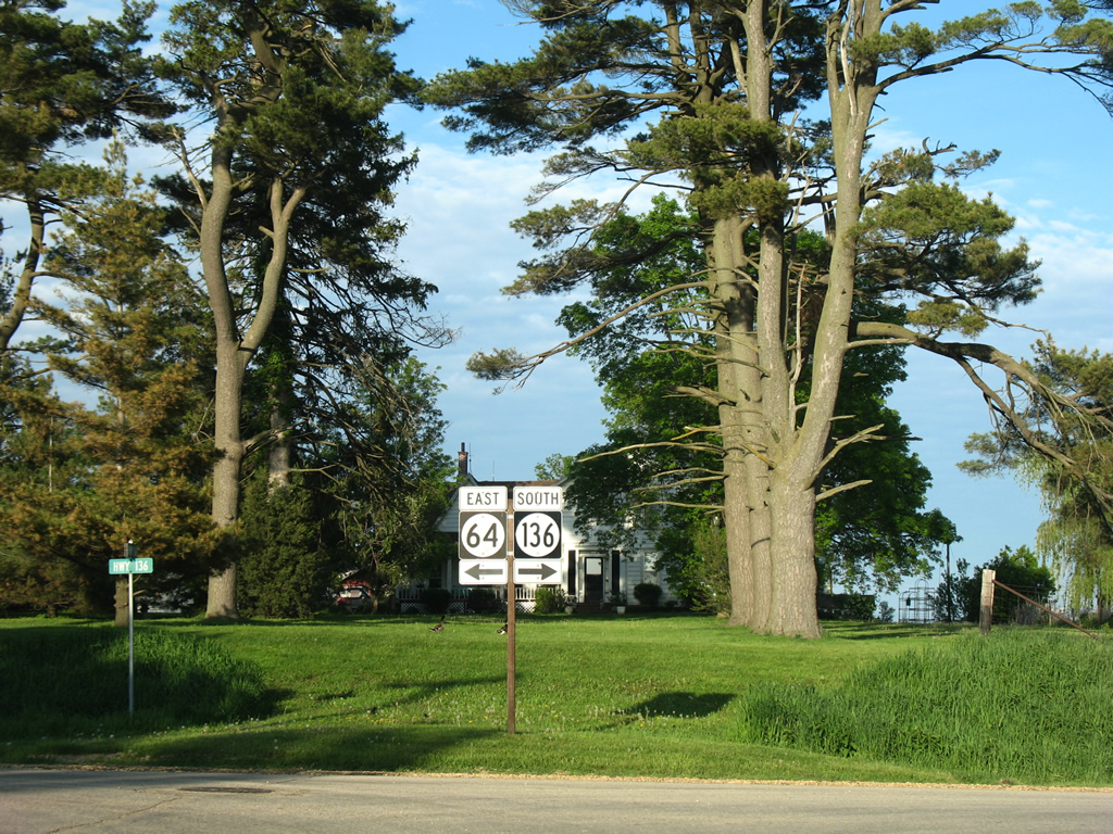
 East
East  South
South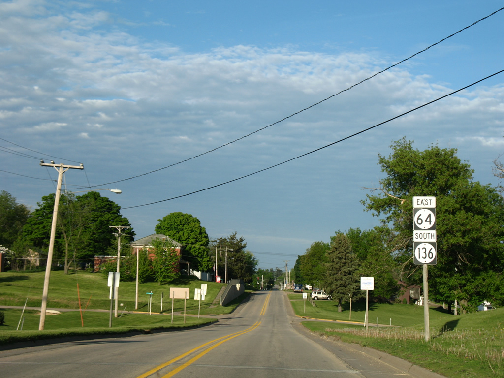
Iowa 64/136 shield markers posted between Madison and Oak Streets in the city of Wyoming.
05/23/08
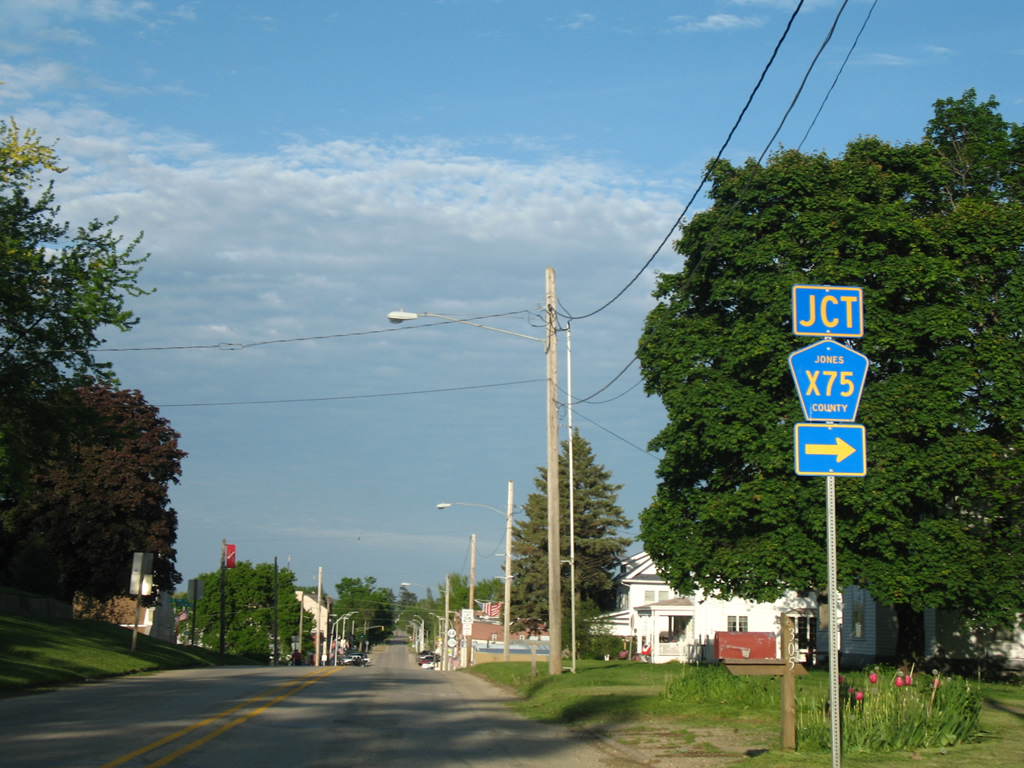
Jones County Road X75 leads south from State Street in Wyoming, 3.6 miles to County Road E45, east of Hale.
05/23/08
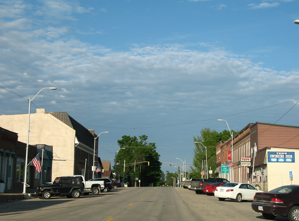
The Wyoming business district lies east of Little Bear Creek along Main Street.
05/23/08
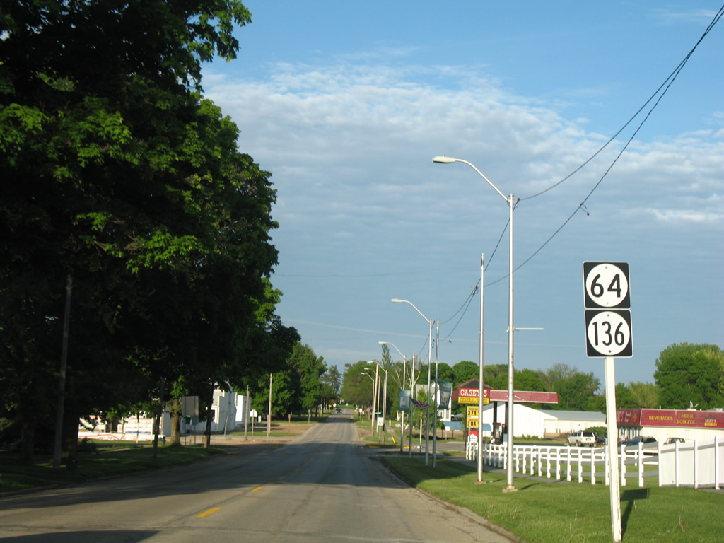
A third set of shields for the one mile overlap of Iowa 64/136 follows Washington Street.
05/23/08
A trailblazer directs drivers along the Iowa Scenic Byway to remain on Iowa 64 east to Isabell Street at the Main Street intersection with Old Highway 64. Old Highway 64 curves northeast to Green Street.
05/23/08
Iowa 64 east follows Isabell Street north while Iowa 136 takes the street south.
05/23/08
East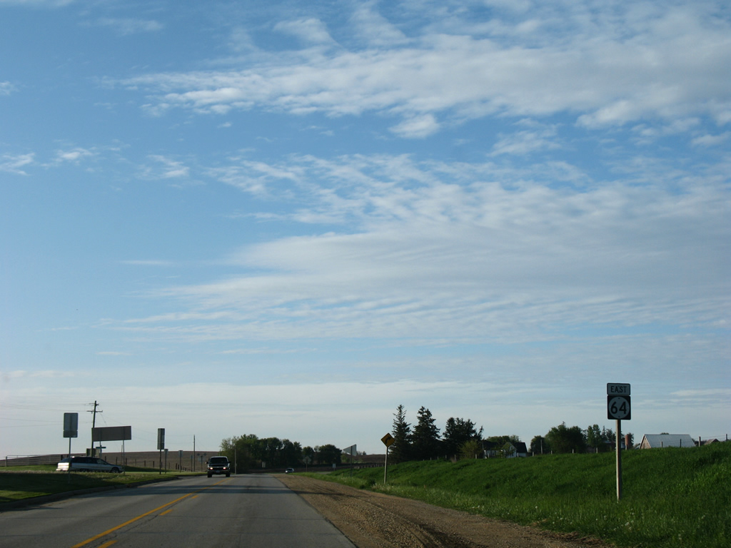
Isabel Street heads two blocks north from Iowa 136 and Main Street to leave Wyoming by the fairgrounds.
05/23/08
Beyond the Wyoming city limits, Iowa 64 winds across a tributary of Bear Creek in this scene west of Pleasant Ridge Road.
05/23/08
Pleasant Ridge Road loops south to become 42nd Avenue south at Iowa 64.
05/23/08
A reassurance marker follows 42nd Avenue on Iowa 64 east.
05/23/08
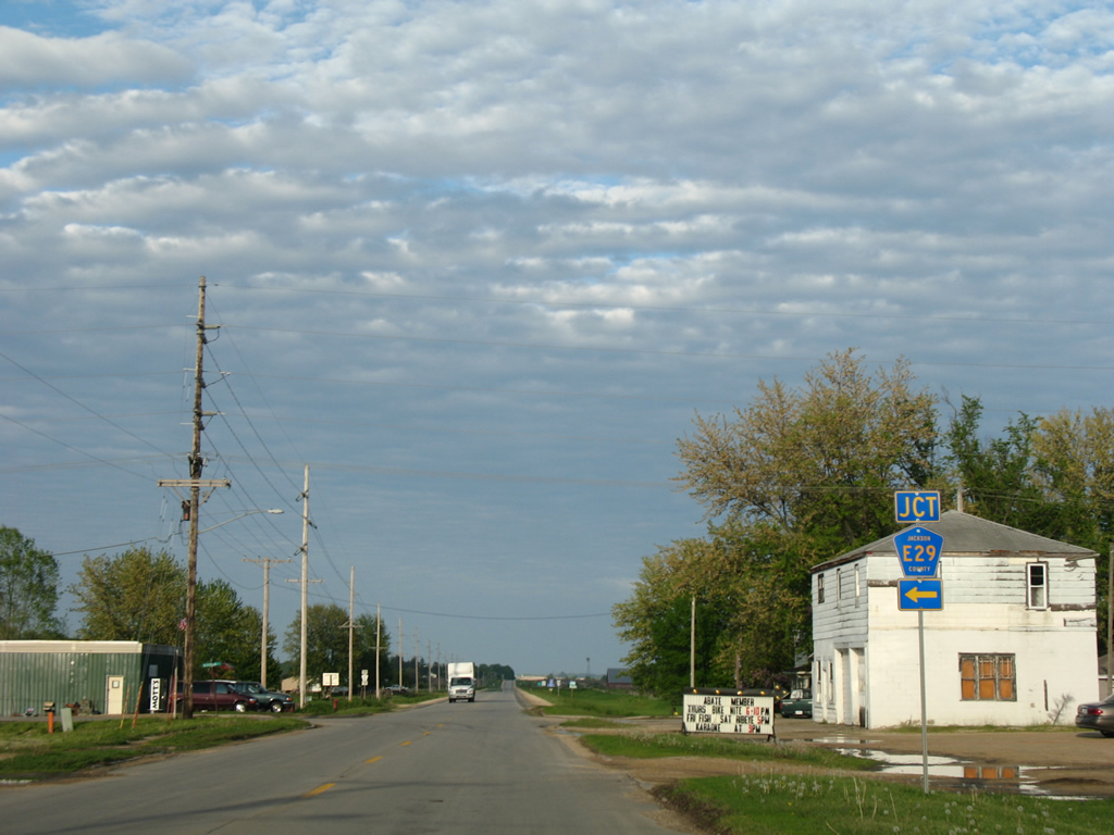
20th Avenue leads north from Iowa 64 to Jones County Road E29 ahead of the next eastbound shield.
05/23/08
Entering Jackson County along Iowa 64 east.
05/23/08
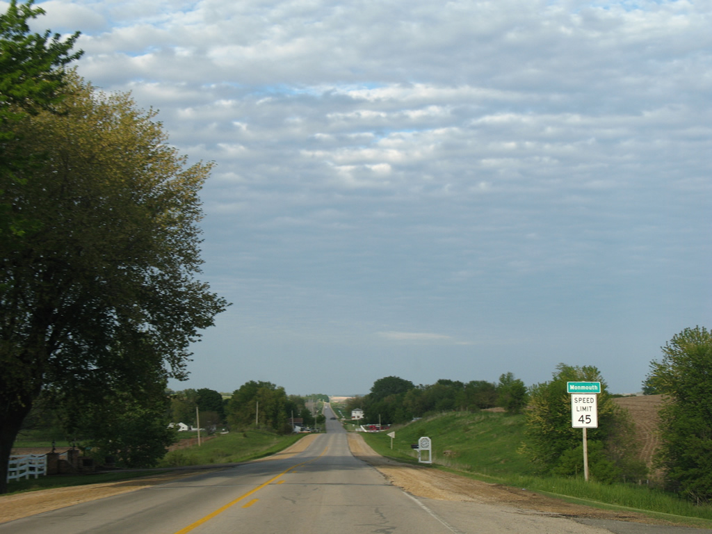
Drivers along Iowa 64 east reach the city of Monmouth just east of the Jones County line. The city is home to around 150.
05/23/08
Eastbound after West Street on Iowa 64.
05/23/08
Division Street doubles as Jackson County Road E29 north through the center of Monmouth. The county road arcs northwest into Jones County en route to Iowa 136 at Onslow.
05/23/08
Iowa 64 parallels Bear Creek east from Monmouth to 33rd Avenue.
05/23/08
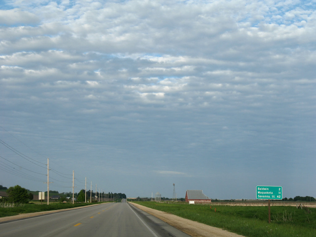
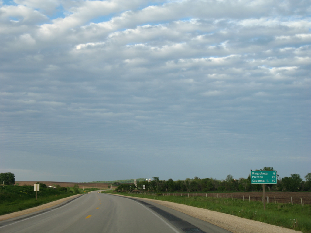
Baldwin, a city of just over 100, is next along Iowa 64 east in 1.5 miles. Maquoketa is nine miles further, followed by Savanna in 42 miles.
05/23/08
33rd Avenue ventures south from Iowa 64 east before this shield assembly.
05/23/08
Iowa 64 follows Railroad Street through the city of Baldwin. Removed long ago, the original Chicago and Northwestern Railroad (Clinton and Anamosa Line) ran along the south side of the community.
05/23/08
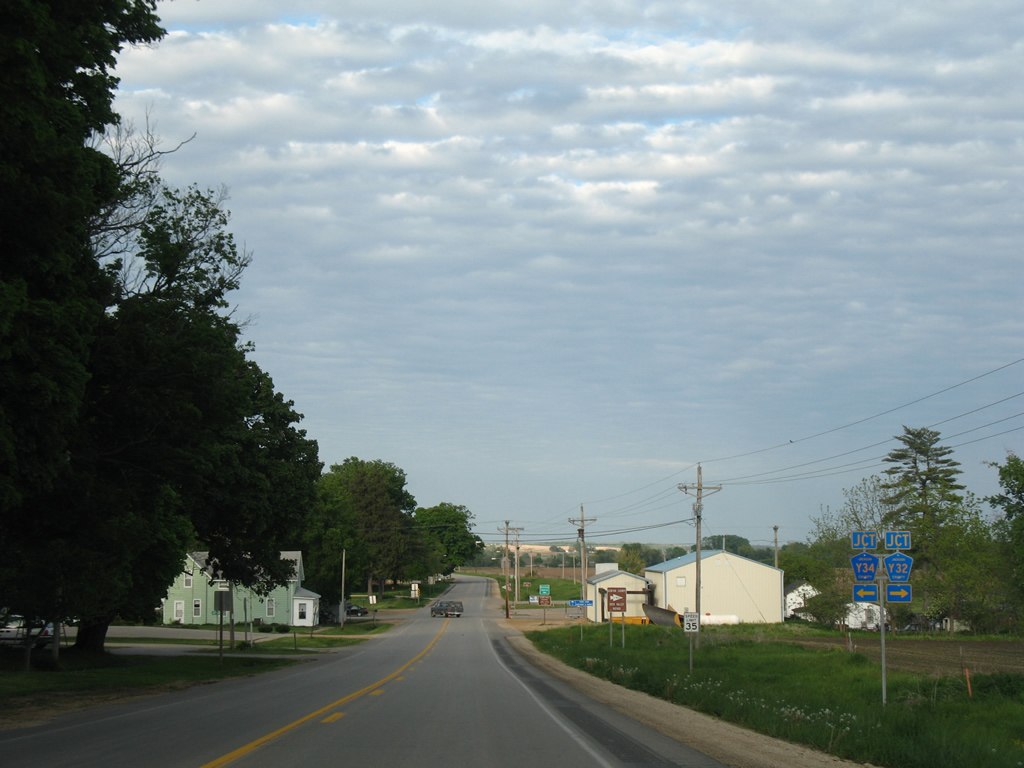
County Road Y34 (50th Avenue) intersects Iowa 64 in Baldwin. CR Y34 heads south to CR Y32 (115th Street) in northern Clinton County and to Iowa 136 in the city of Lost Nation.
05/23/08
50th Avenue heads north from Iowa 64 (Railroad Street) through the Baldwin business district, taking County Road Y34 toward County Road E17 at Emeline.
05/23/08

A Iowa Scenic Byway trailblazer stands along Iowa 64 (Railroad Street) east at 53rd Avenue in Baldwin.
05/23/08
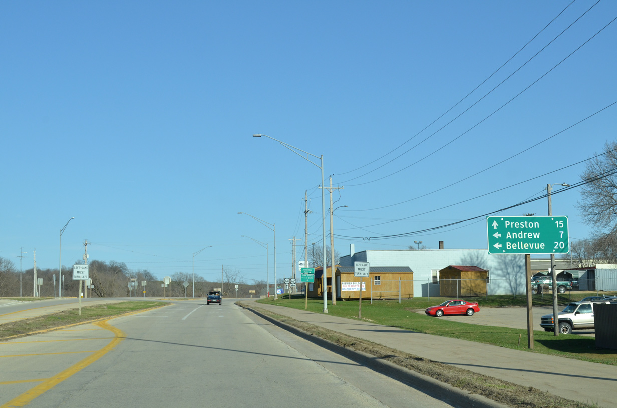
Iowa 64 advances 8.1 miles from Baldwin to the Maquoketa city line. Preston, located midway between U.S. 61 and U.S. 67, is 25 miles to the east.
05/23/08
Iowa 64 curves southward after 67th Avenue.
05/23/08
Motorists along Iowa 64 east cross Bear Creek between 82nd Avenue and this shield.
05/23/08
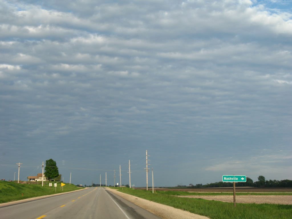
Nashville is an unincorporated community south of Iowa 64 at the crossroads of 100th Avenue and 33rd Street.
05/23/08
Continuing east from 100th Street on Iowa 64.
05/23/08
Iowa 64 crosses Pumpkin Creek and reaches the settlement of Buckhorn at 125th Avenue south.
05/23/08
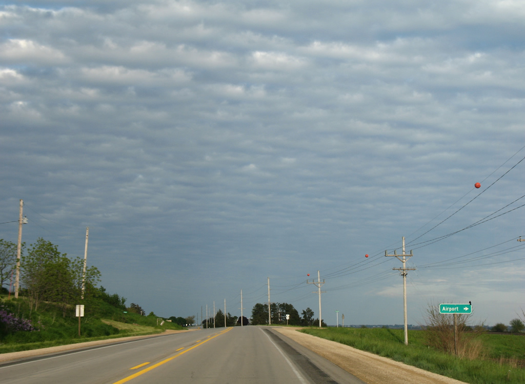
134th Avenue stems south from Iowa 64 to Maquoketa Municipal Airport (OQW).
05/23/08
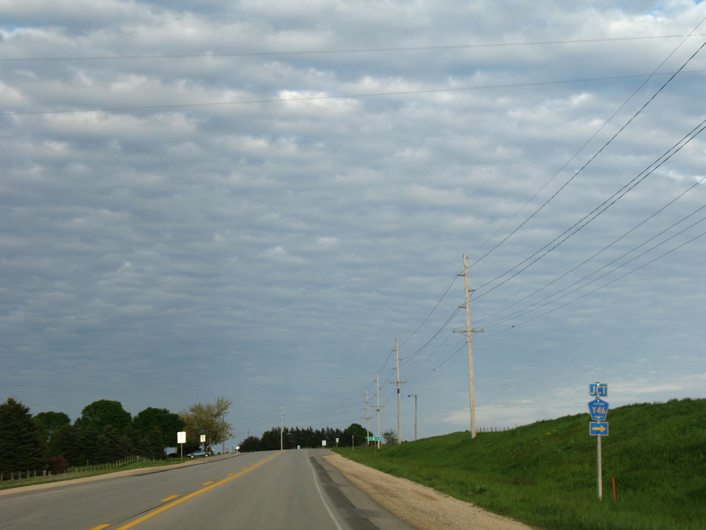
County Road Y46 (142nd Avenue) travels south from Iowa 64 four miles to Iowa 136 near Elwood.
05/23/08
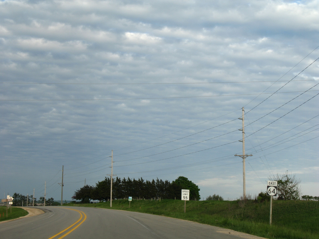
Iowa 64 maintains a 55 mile per hour speed limit on the rural approach to Maquoketa.
05/23/08
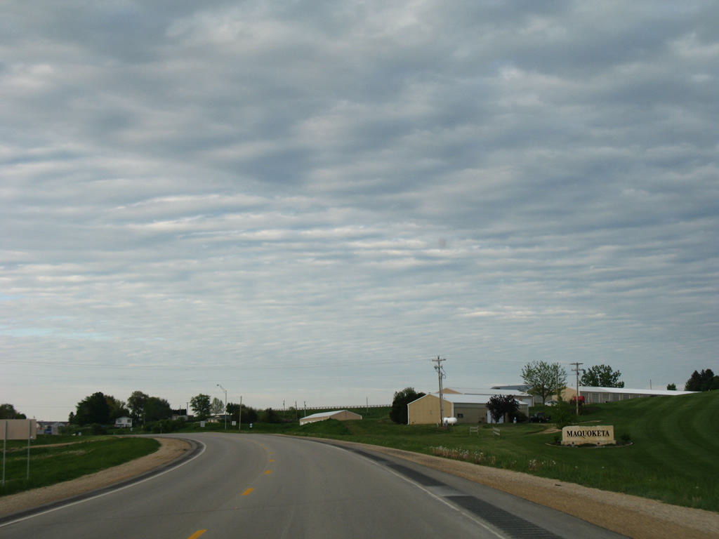
Iowa 64 angles northward by Maquoketa Country Club to enter the city. 33rd Street provides access to south Maquoketa along Summit Street from the forthcoming intersection in this scene.
05/23/08
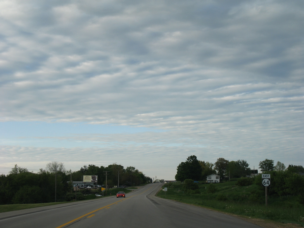
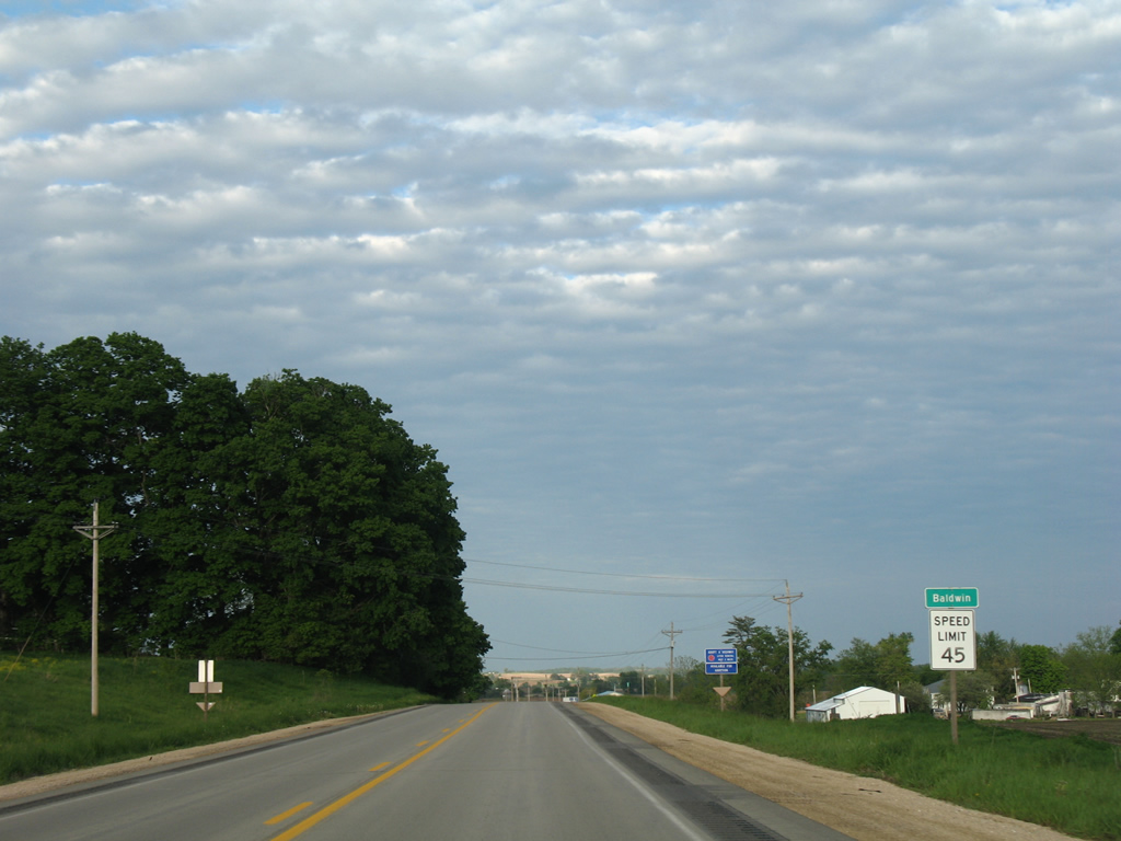
Speed limits reduce to 45 miles per hour as Iowa 64 nears the city line.
05/23/08

Maquoketa was home to 5,998 per the 2018 census estimates. Origins of the city can be traced to the establishment of a post office here on June 4, 1840. The post office was named Springfield but changed by March 13, 1844 to Maquoketa due to a number of communities already named Springfield. Maquoketa is a native word meaning "bear were here". The town was incorporated in 1853.1
05/23/08
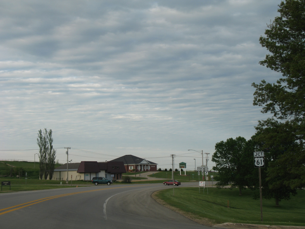
Iowa 64 becomes Platt Street leading into the diamond interchange with U.S. 61.
05/23/08
U.S. 61 follows a freeway bypass around the west and south sides of Maquoketa from the Maquoketa River to Iowa 136 in Clinton County.
05/23/08
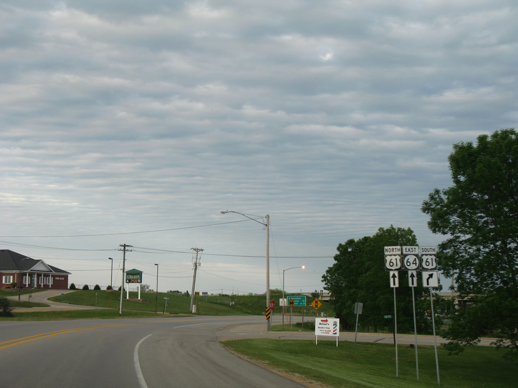
Davenport is 39 miles to the south via U.S. 61 and U.S. 61 Business. U.S. 61 varies as a freeway or expressway to Interstate 80.
05/23/08
Drivers bound for DeWitt and the Quad Cities depart Iowa 64 (Platt Street) east for U.S. 61 south. U.S. 61 was upgraded to a freeway through Maquoketa between 1996 and 1999.
05/23/08
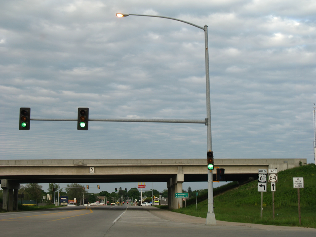
U.S. 61 travels 30 miles north from Iowa 64 (Platt Street) to Dubuque. Iowa 64 east doubles as unsigned U.S. 61 Business to Downtown and Main Street.
05/23/08
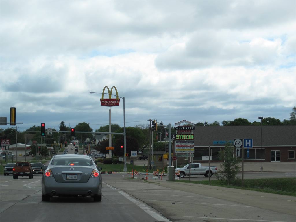
Retail lines both sides of Iowa 64 (Platt Street) directly east from the exchange with U.S. 61. A traffic light was added at Westgate Drive by 2010.
05/08/10
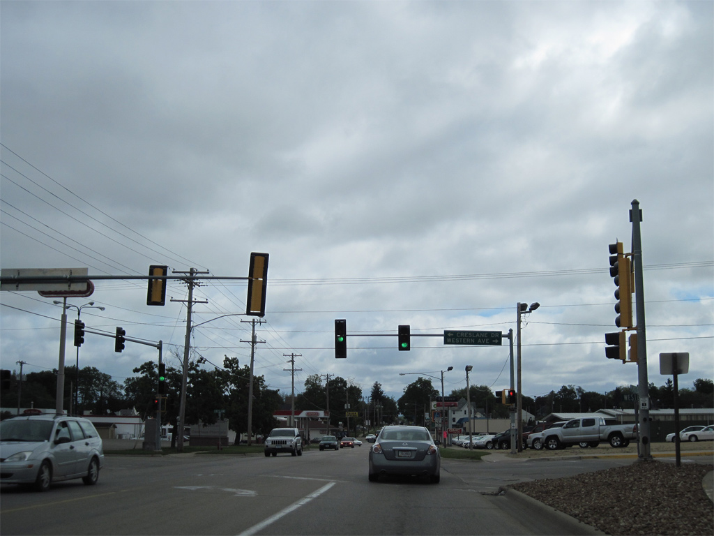
Creslane Drive south and Western Avenue north come together at the succeeding traffic light on Platt Street.
05/08/10
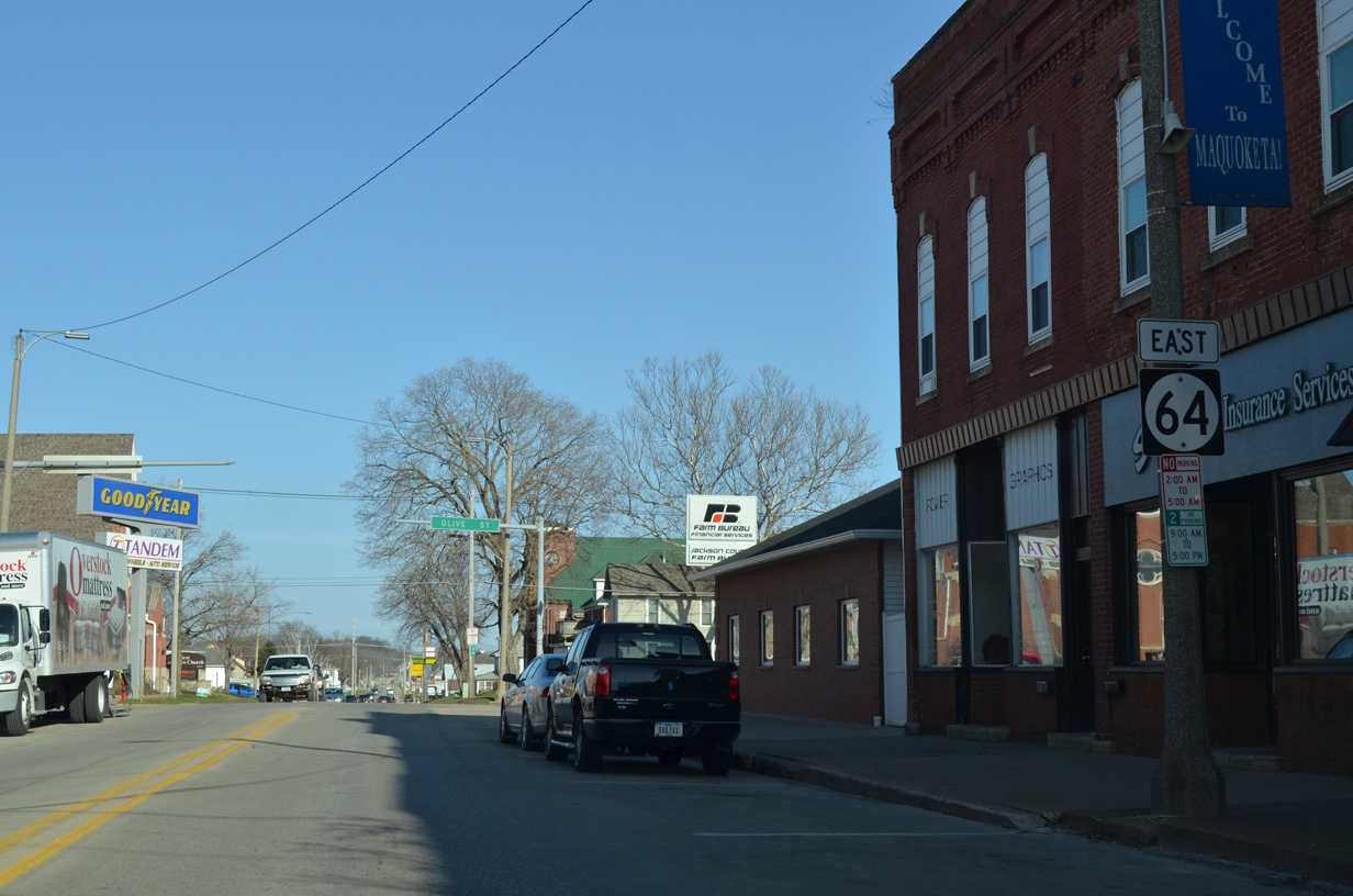
Iowa 64 east of Main Street (U.S. 61 Business) in Downtown Maquoketa.
03/25/16
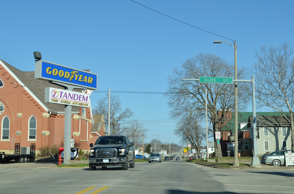
Mast arm remaining from removed traffic lights at Platt and Olive Streets on the east side of Downtown Maquoketa.
03/25/16
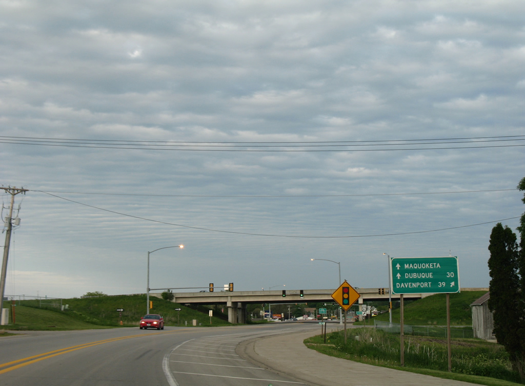
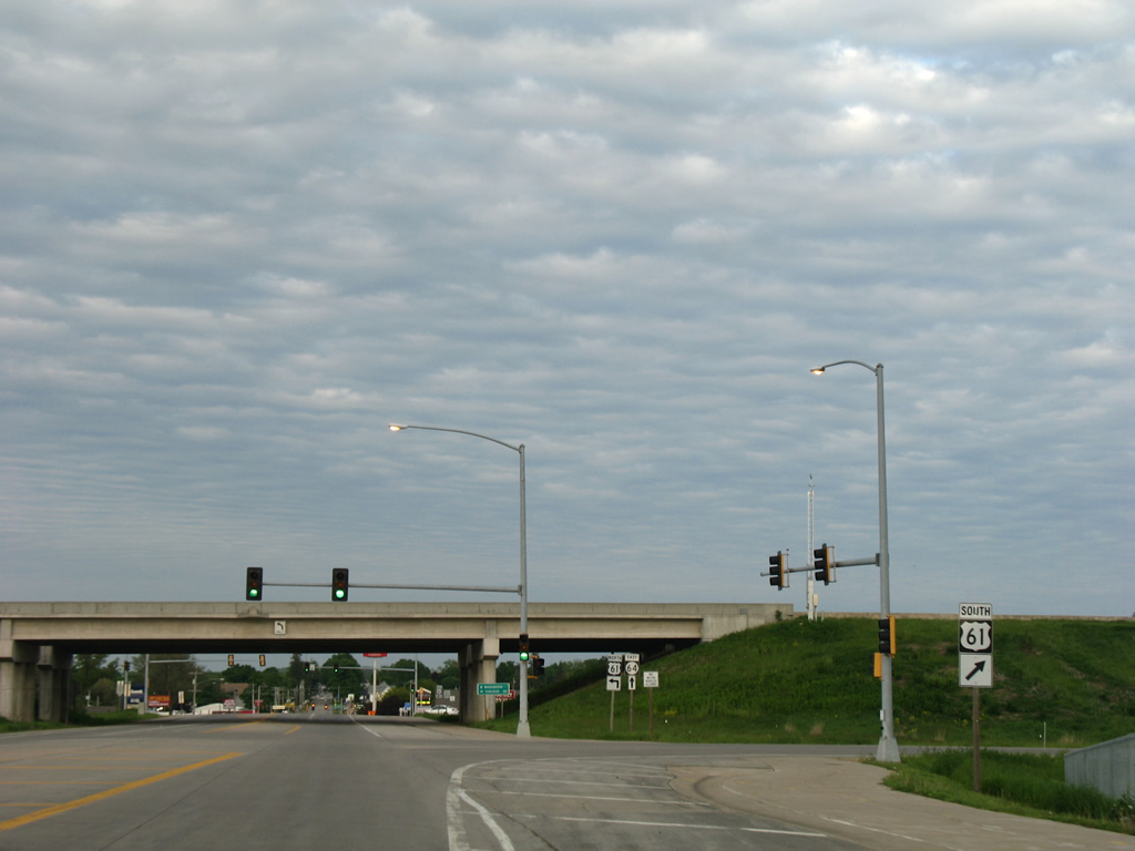
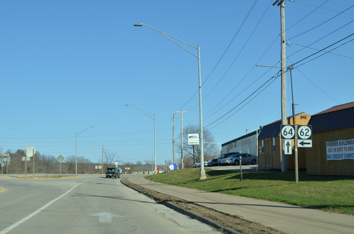
Advancing across the east side of Maquoketa, Iowa 64 (Platt Street) approaches the west end of Iowa 62.
03/25/16
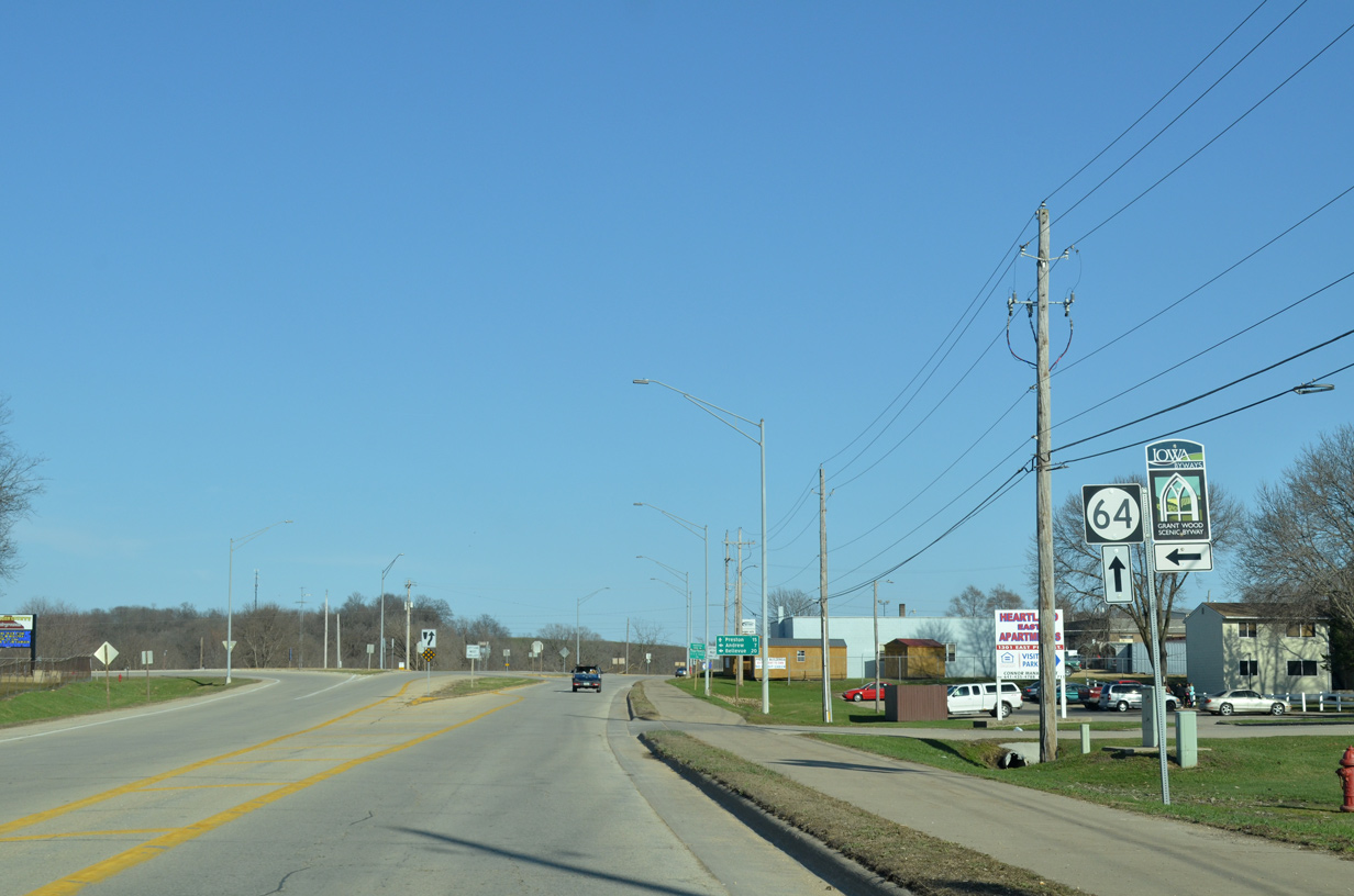
The Grant Wood Scenic Byway accompanies Iowa 62 northeast to CR E17 in Andrew.
03/25/16
Iowa 62 constitutes a 19.6 mile route northeast to U.S. 52 in the Mississippi River city of Bellevue.
03/25/16
Iowa 64 continues southeasterly from Iowa 62 and Maquoketa across Prairie Creek.
03/25/16
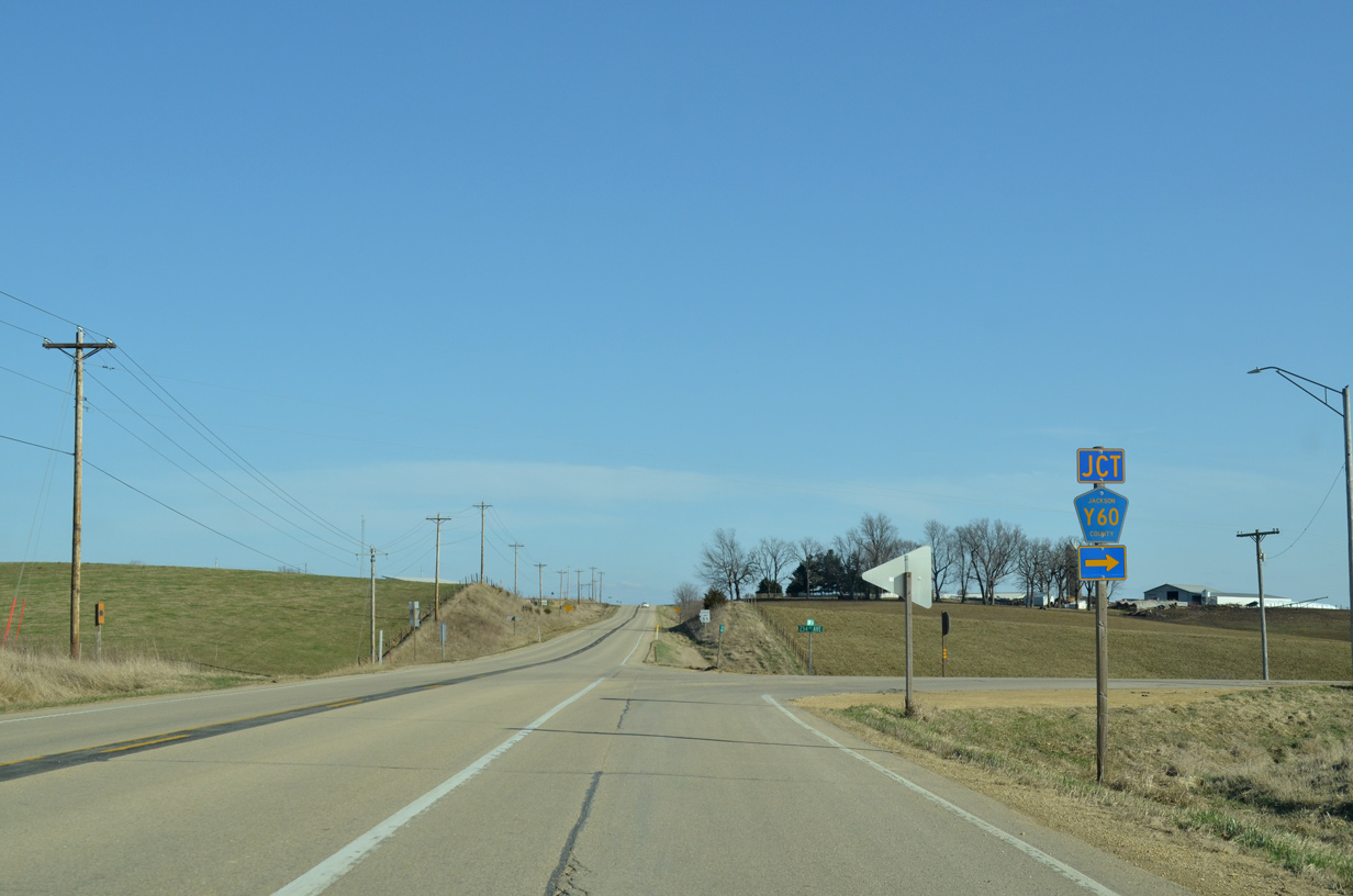
County Road Y60 (254th Avenue) stems south from Iowa 64 to Iowa 136 in the city of Delmar.
03/25/16
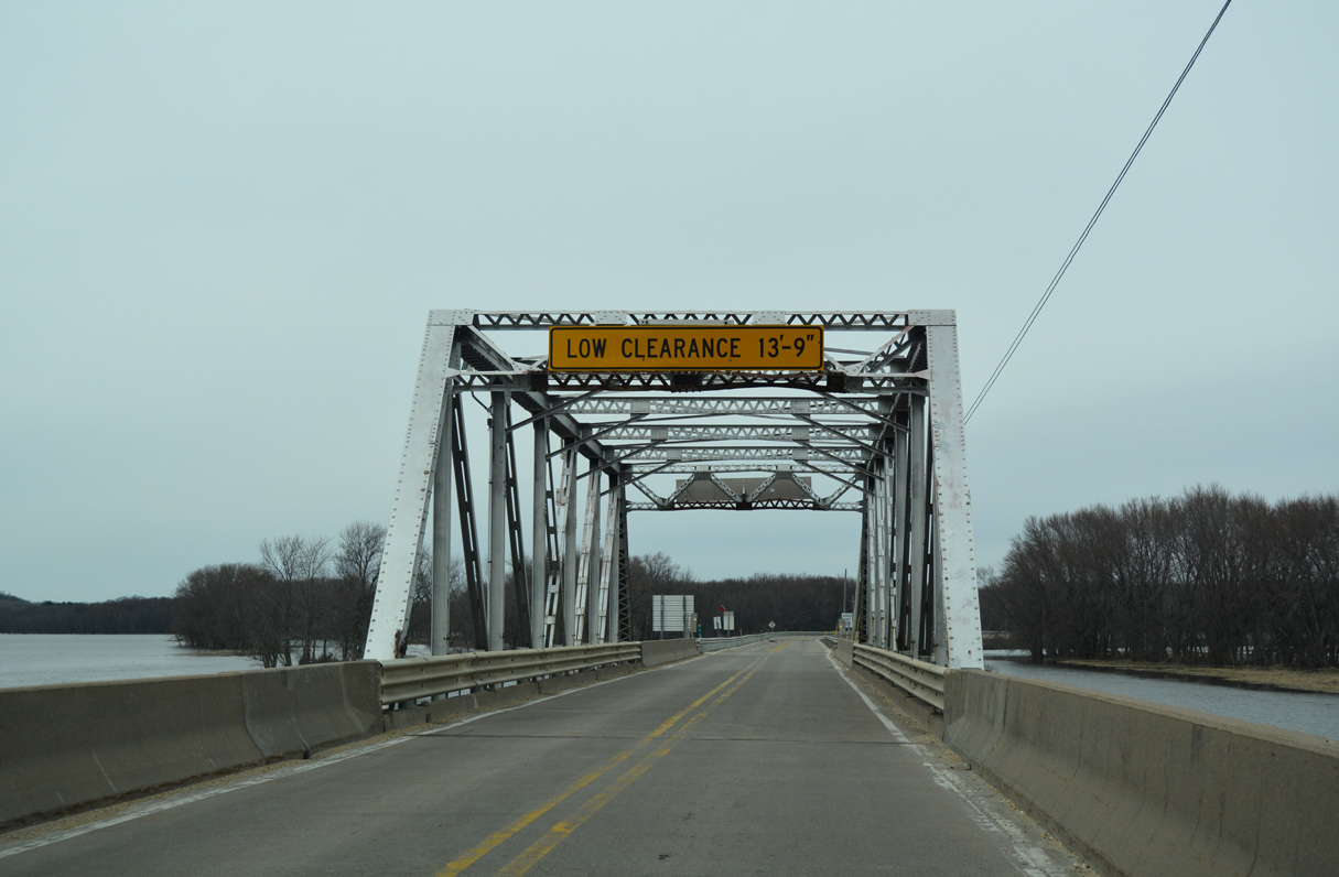
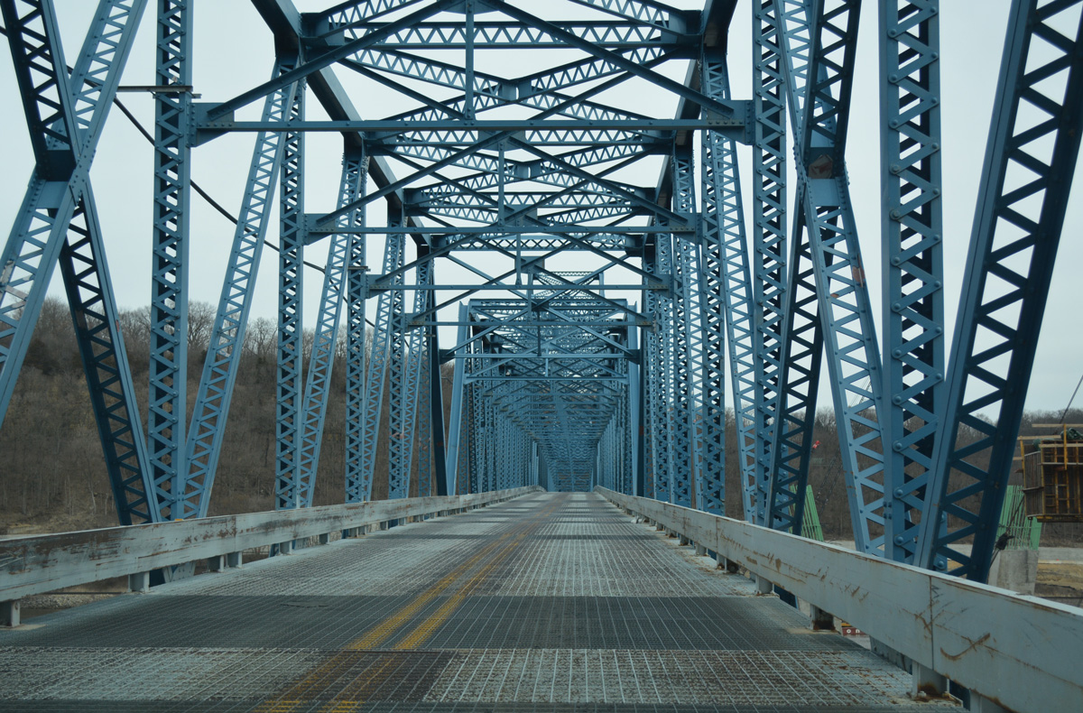
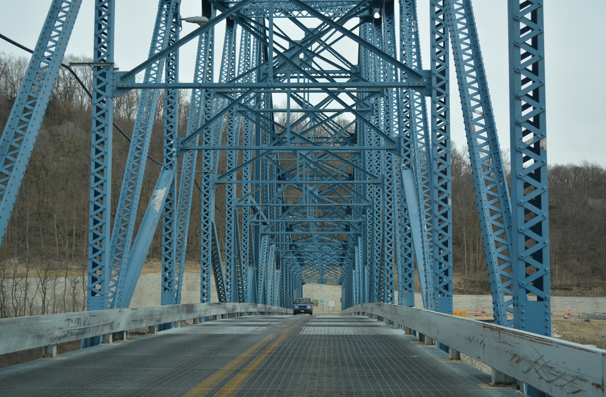
U.S. 52/Iowa 64 cross over the Mississippi River overflow bridge at the north end of Sabula between Towne Lake and the Mississippi River main channel. Construction in 2018 replaced this vintage truss bridge carrying Broad Street north.
03/12/17
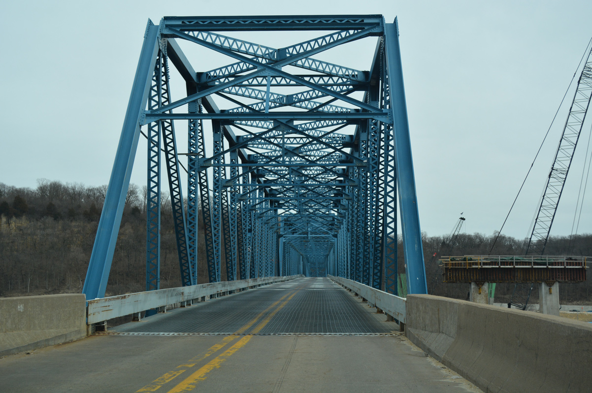
Constructed at a cost of $80.6 million, the new tied arch bridge on the south side of the former Savanna-Sabula Bridge accommodates two lanes of traffic with full shoulders.
03/12/17
The Savanna-Sabula Bridge opened to traffic in 1932 as a privately built toll bridge. The metal bridge deck was just 20 feet wide.
03/12/17
References:
Photo Credits:
- Alex Nitzman: 05/23/08, 05/26/18
- ABRoads: 05/08/10
- Alex Nitzman, Bill Gatchel: 03/25/16, 03/12/17
Connect with:
Page Updated Friday December 20, 2019.