
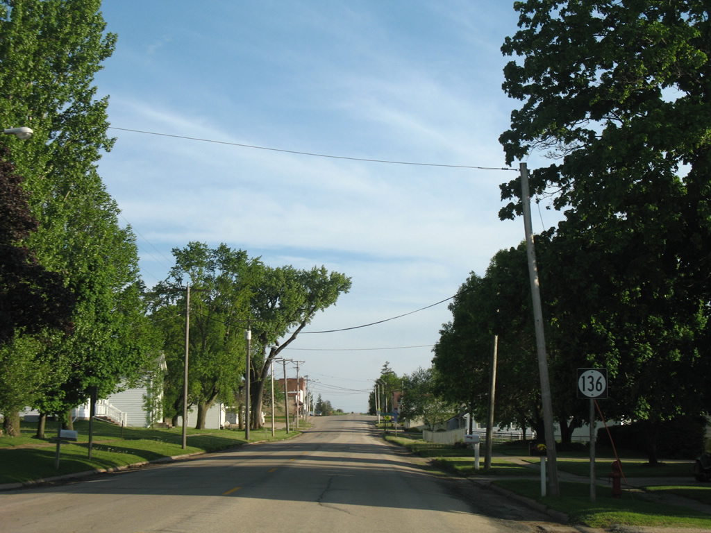
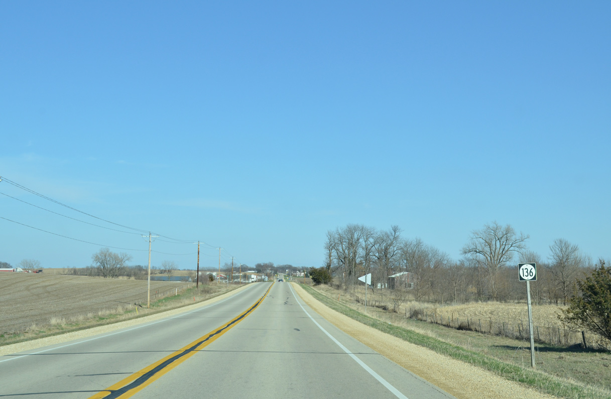
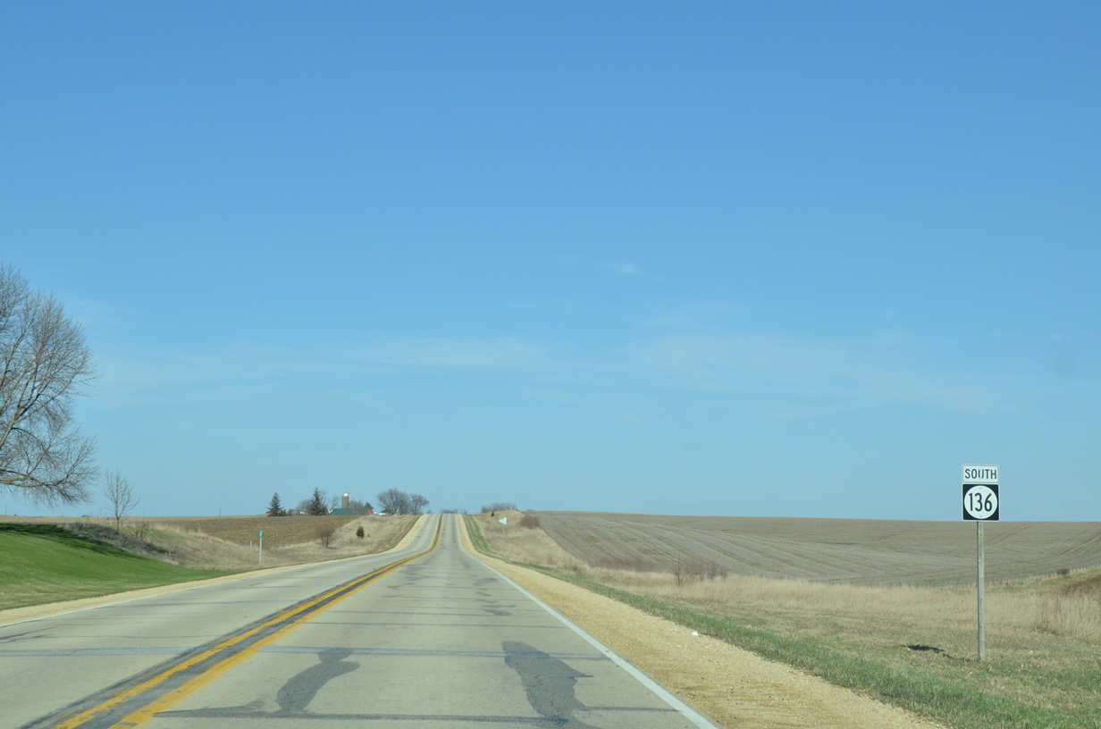
Highway 136 South

 South
South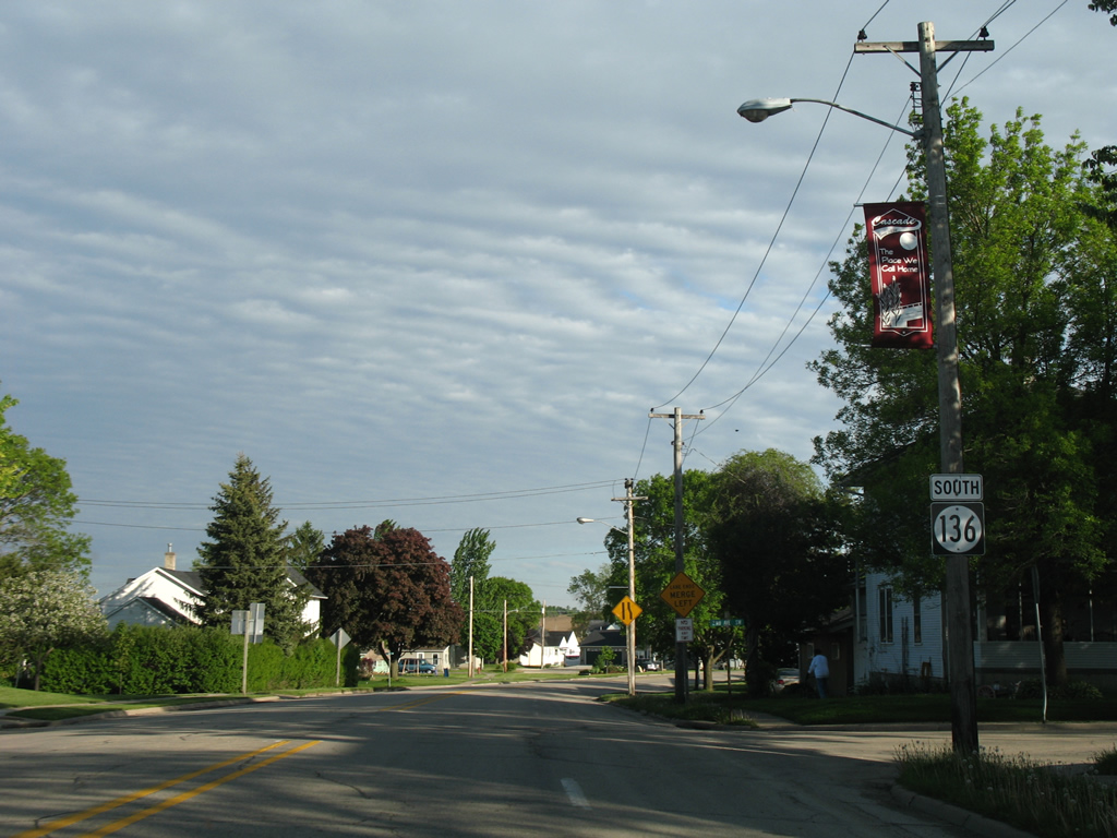
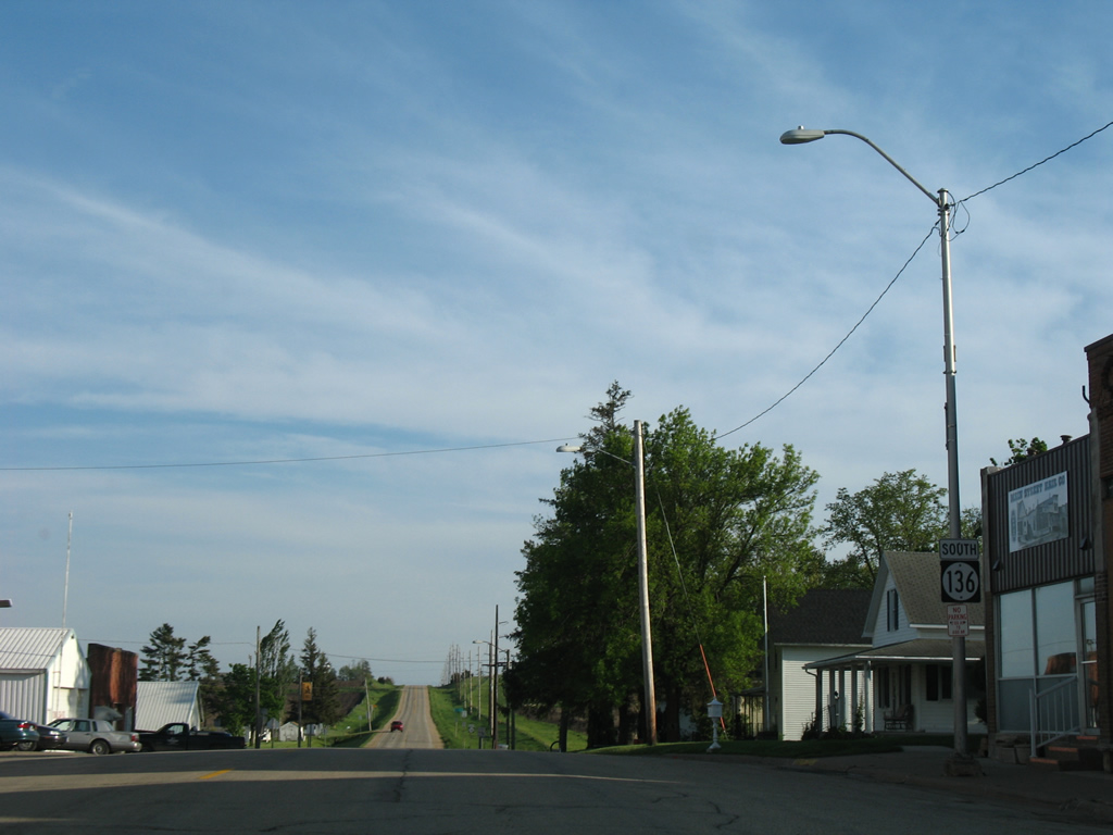
Iowa 136 follows Johnson Street through the business district of Cascade. Pictured here is a southbound reassurance marker posted after the intersection with U.S. 151 Business (1st Avenue).
05/23/08
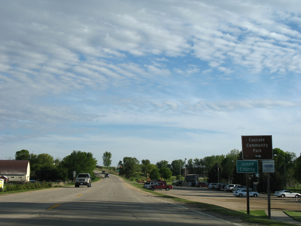
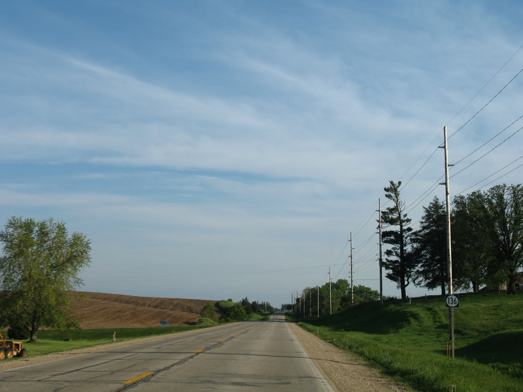
Still within the city of Cascade, Iowa 136 enters Jones County by Cascade Community Park along Johnson Street south.
05/23/08
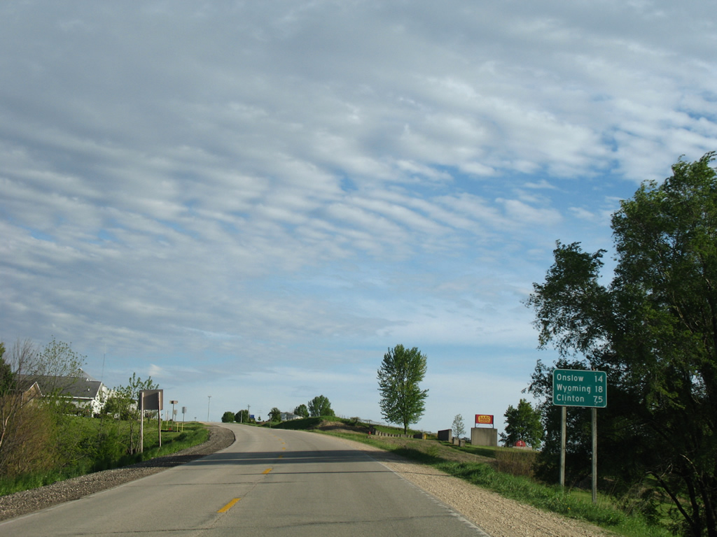
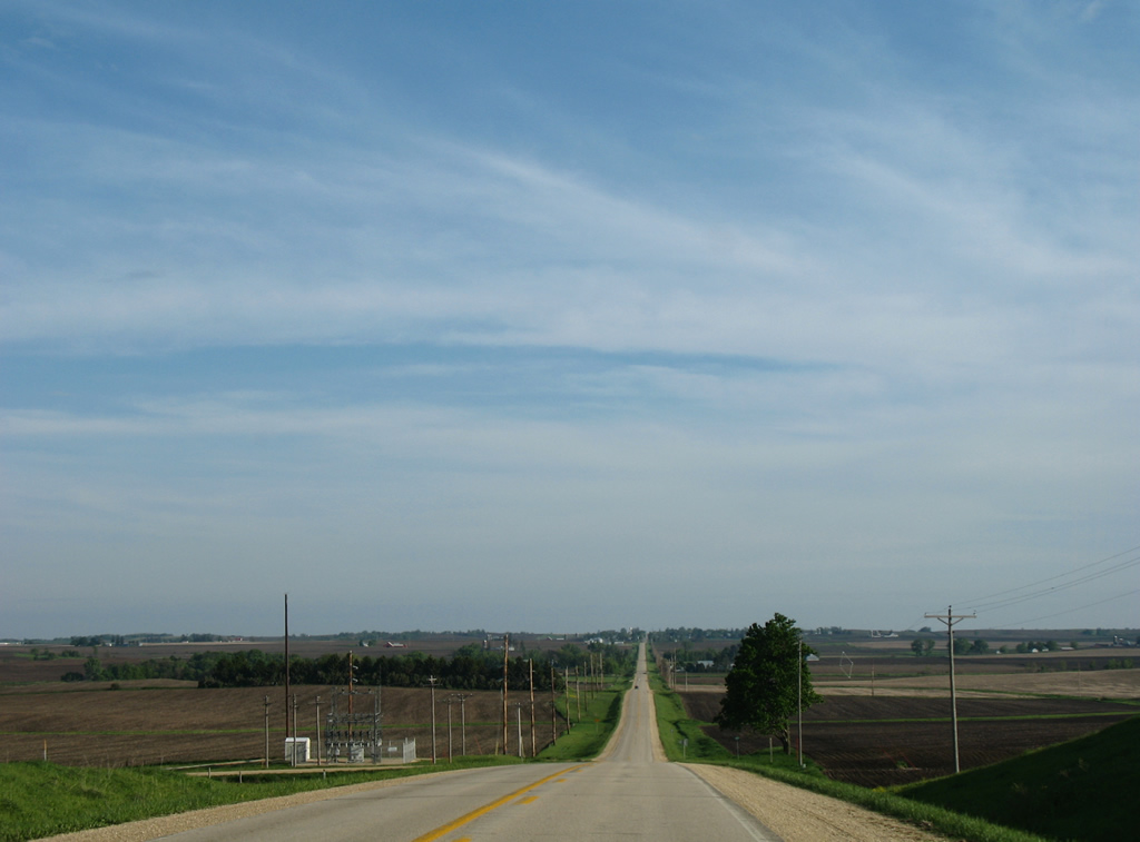
Leaving Cascade and Dubuque County, Iowa 136 travels south another 14 miles to Onslow, 18 miles to the merge with Iowa 64 at Wyoming and 75 miles east to Clinton.
05/23/08
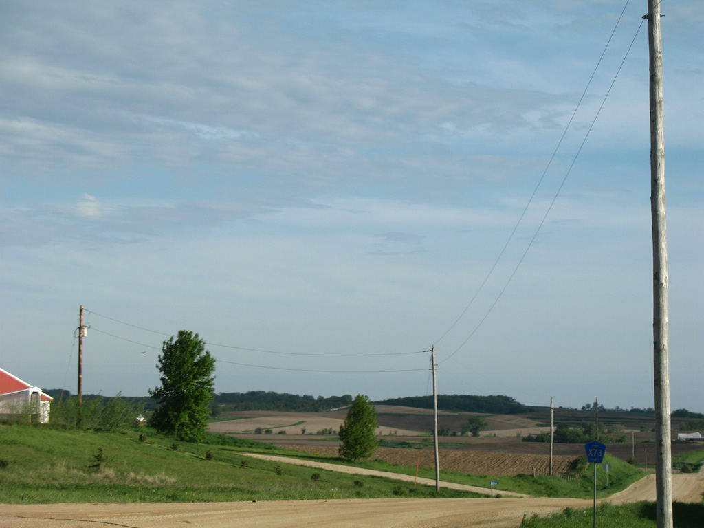
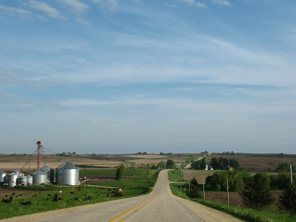
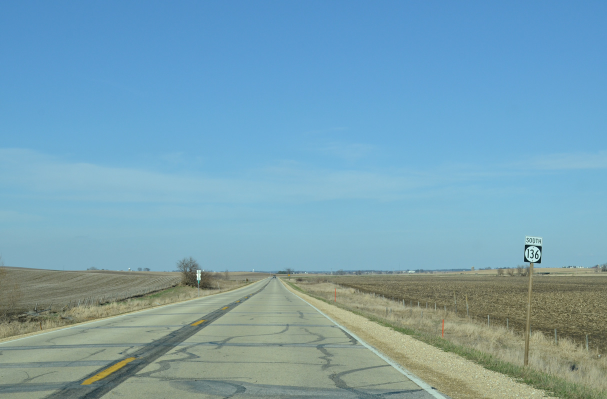
Jones County Road X73 (Ebys Mill Road) branches southward from Iowa 136 as the state route turns east to circumvent hills west of Farm Creek.
05/23/08
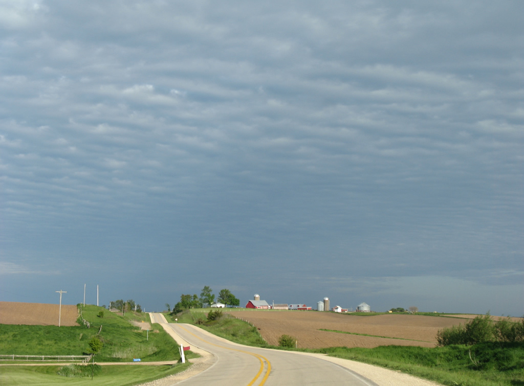
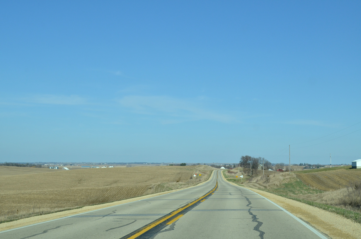
Iowa 136 undulates across open farm land on an arc southeast from Cascade toward Temple Hill.
05/23/08
Approaching the intersection with Riverview Road along Iowa 136 south.
05/23/08
Southbound Iowa 136 between Riverview Road and Skahill Road.
05/23/08
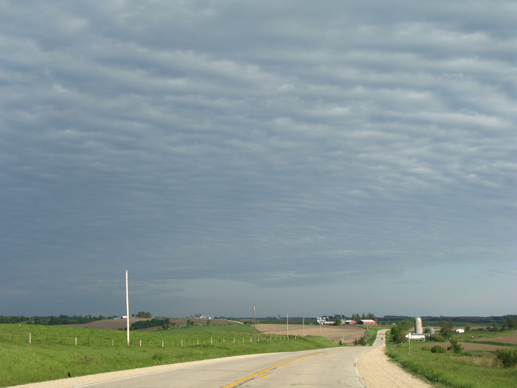
Traversing farmland along a straight away south ahead of Farm Creek.
05/23/08
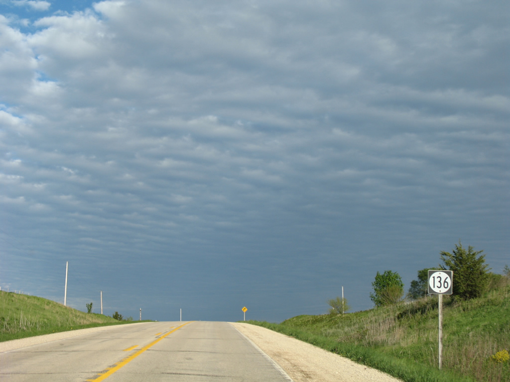
Temple Hill Road leads east from Iowa 136 to Temple Hill opposite Richland Road (County Road D65) west ahead of this shield assembly.
05/23/08
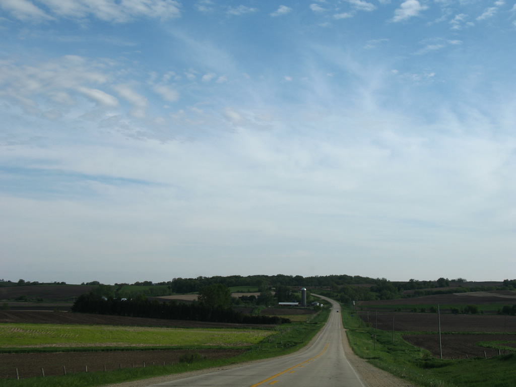
Forested hills surrounding the Maquoketa River come into view along the horizon south of Iowa 136.
05/23/08
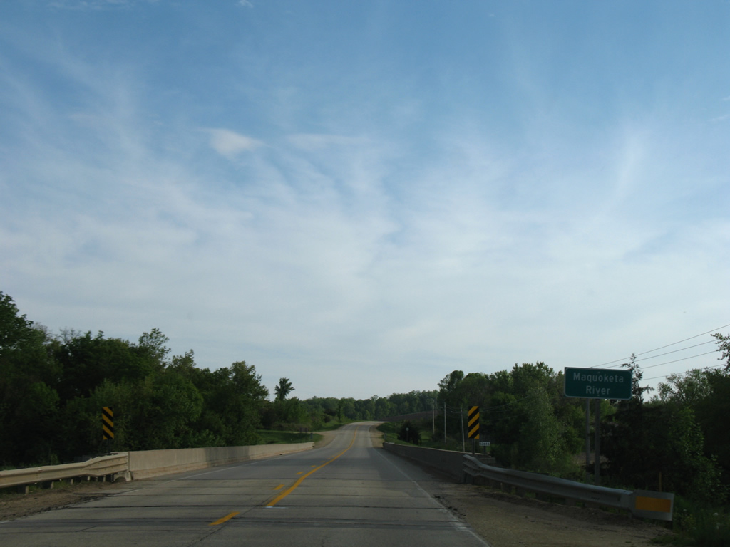
Spanning the Maquoketa River, a 150 mile long waterway flowing southeast from Fayette County into the Mississippi River near Green Island in eastern Jackson County.
05/23/08
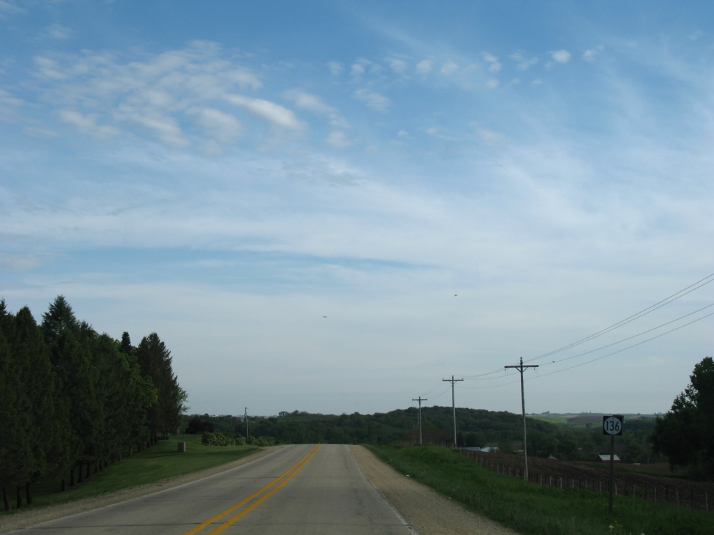
Iowa 136 shield assembly posted southbound after the Maquoketa River and ahead of 60th Avenue.
05/23/08
Iowa 136 traverses additional rolling farm land ahead of Jones County Road E17 west in this scene.
05/23/08
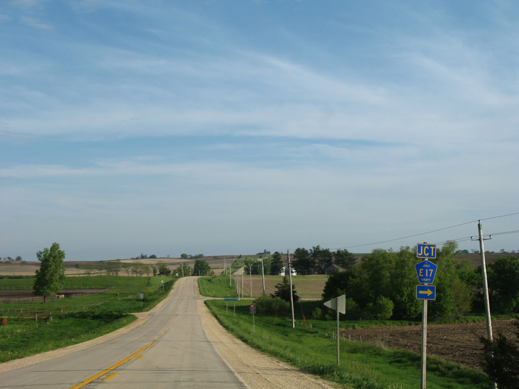
County Road E17 shares an implied overlap with Iowa 136 south from its western branch to Scotch Grove and eastern segment to Andrew.
05/23/08
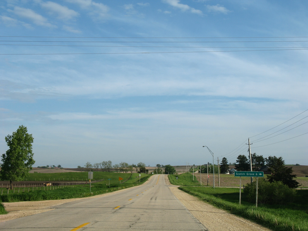
CR E17 heads west 5.3 miles from Iowa 136 to Iowa 38 at Scotch Grove.
05/23/08
One mile of Iowa 136 separates the two segments of County Road E17.
05/23/08
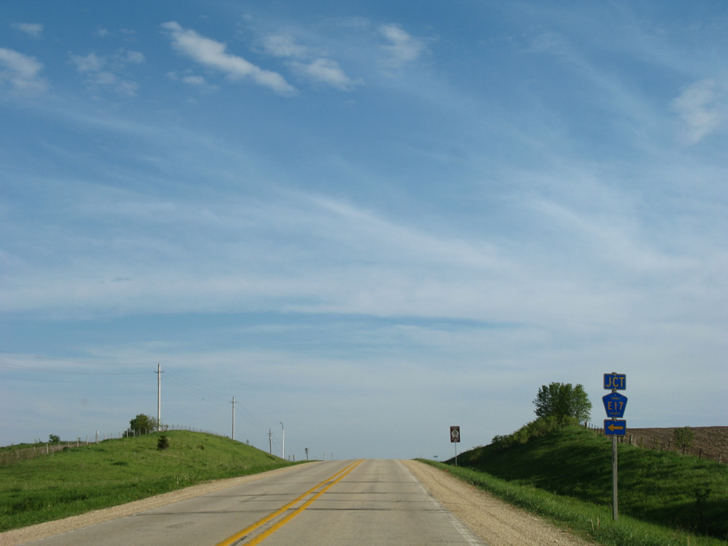
Leading east from Iowa 136, County Road E17 travels 6.6 miles to Canton and 19 miles to U.S. 61 near Fulton.
05/23/08
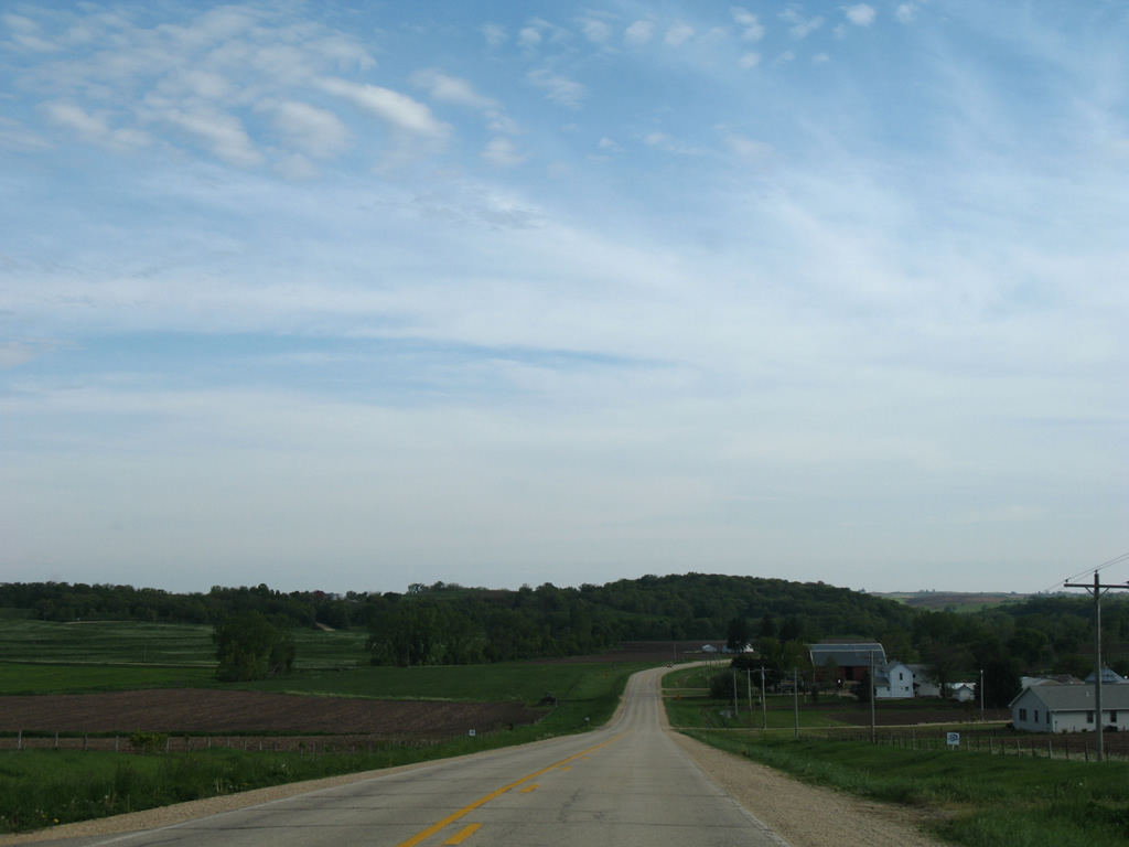
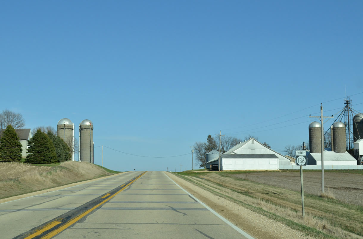
Iowa 136 continues straight on a course slightly east of due south from Jones County Road E17 four miles to Onslow.
05/23/08
Dropping from the intersection with 152nd Street ahead of Mineral Creek along Iowa 136 south.
05/23/08
130th Street crosses paths with Iowa 136 ahead of this shield assembly from Center Junction, 3.5 miles to the west.
05/23/08
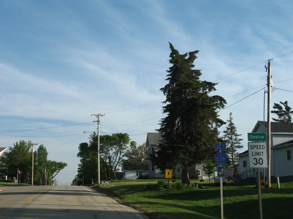
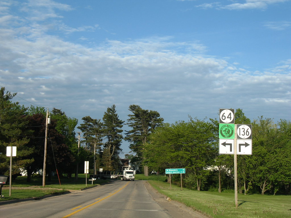
Entering Onslow, a city of nearly 200, on Iowa 136 south at North Street (CR E29) east. County Road E29 meanders east to Monmouth and Iowa 64.
05/23/08
Iowa 136 follows Main Street through the heart of Onslow.
05/23/08
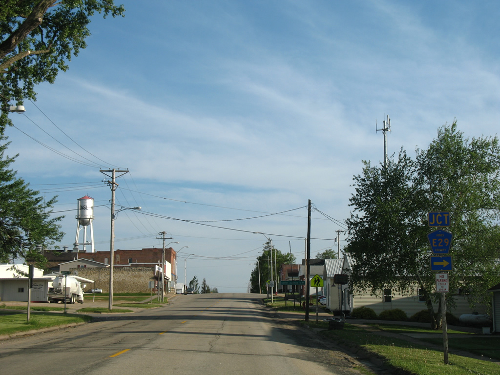
Jones County Road E29 leads due west from Iowa 136 (Main Street) along Anamosa Avenue in Onslow to Iowa 38.
05/23/08
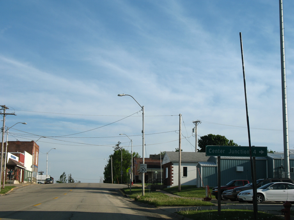
Center Junction, a city of 110 (2010 census) lies just north of County Road E29 along Iowa 38, 3.5 miles to the west.
05/23/08
Iowa 136 intersects Elm Street east and Wyoming Avenue west before traversing more agricultural lands.
05/23/08

Reassurance marker posted by Chamberlain Park as Iowa 136 leaves Onslow.
05/23/08
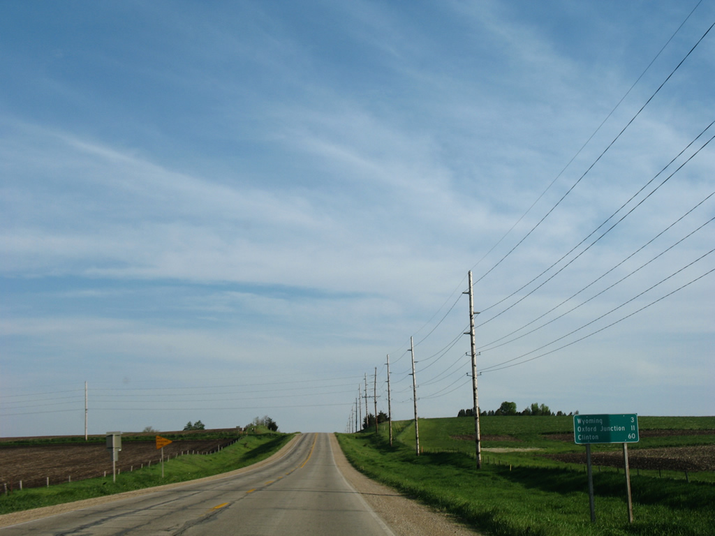
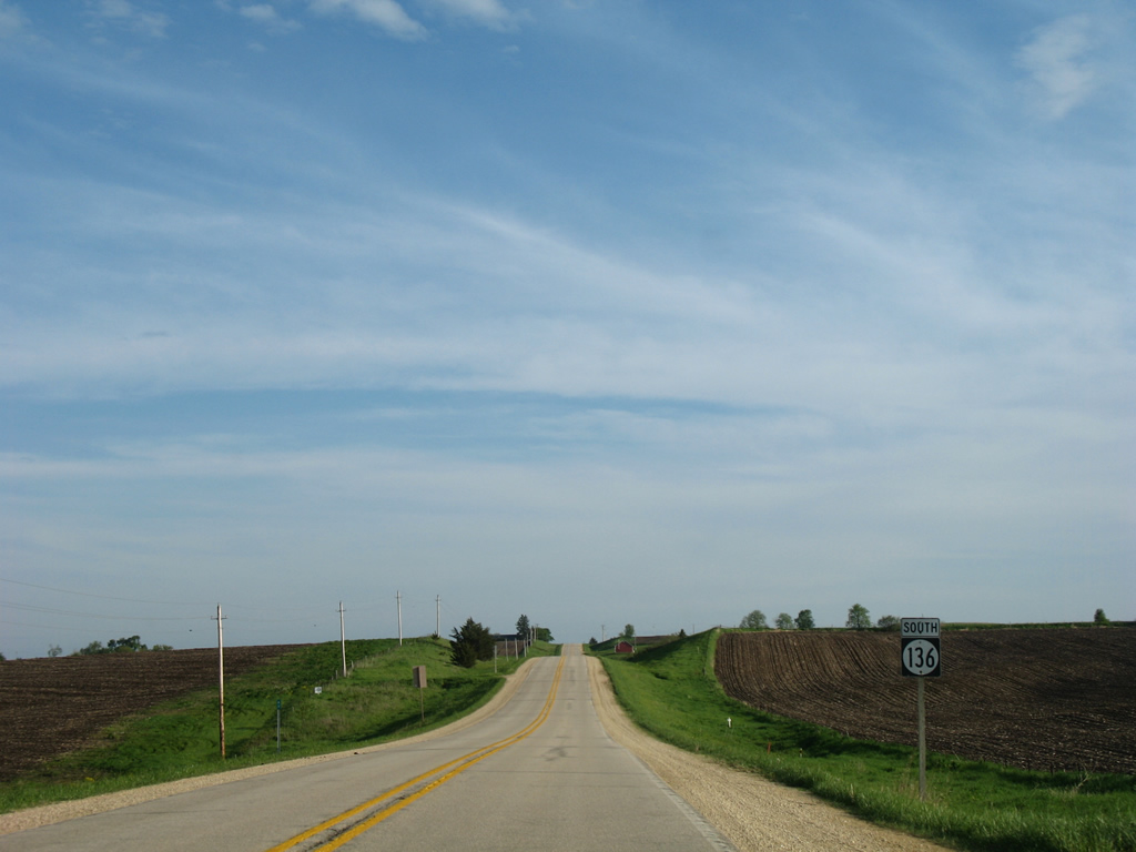
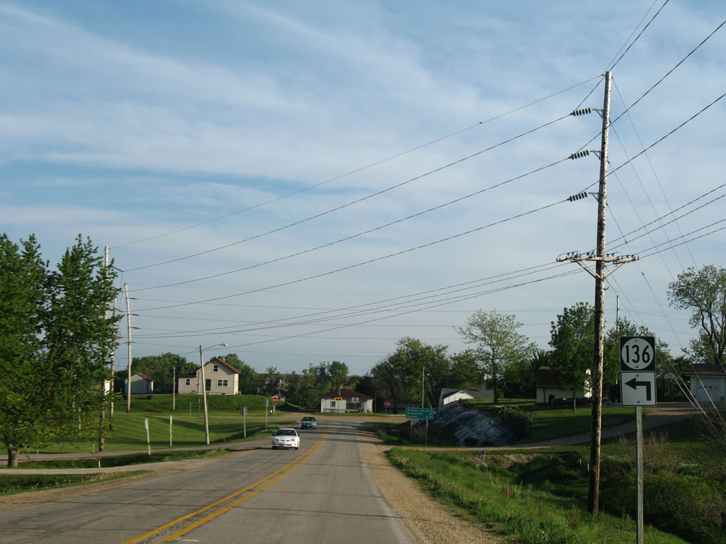
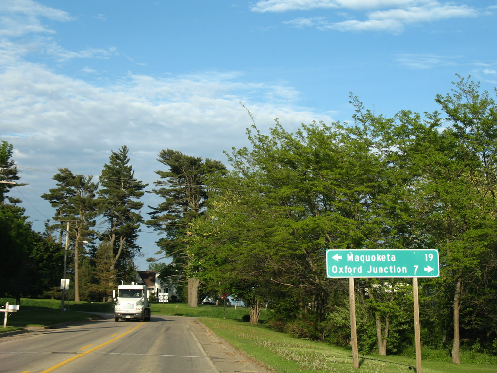
The city of Wyoming is three miles further south along Iowa 136. Oxford Junction (11 miles) and Clinton (60 miles) round out the Iowa 136 destinations.
05/23/08
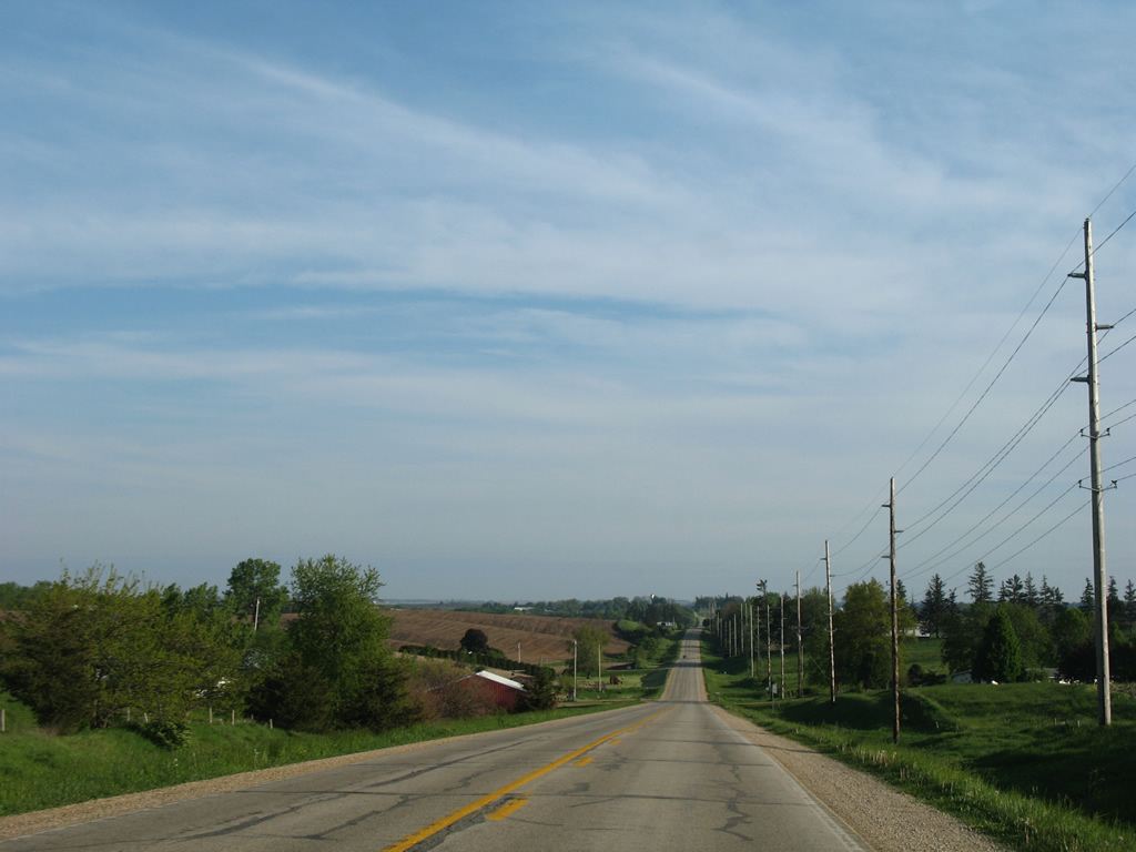
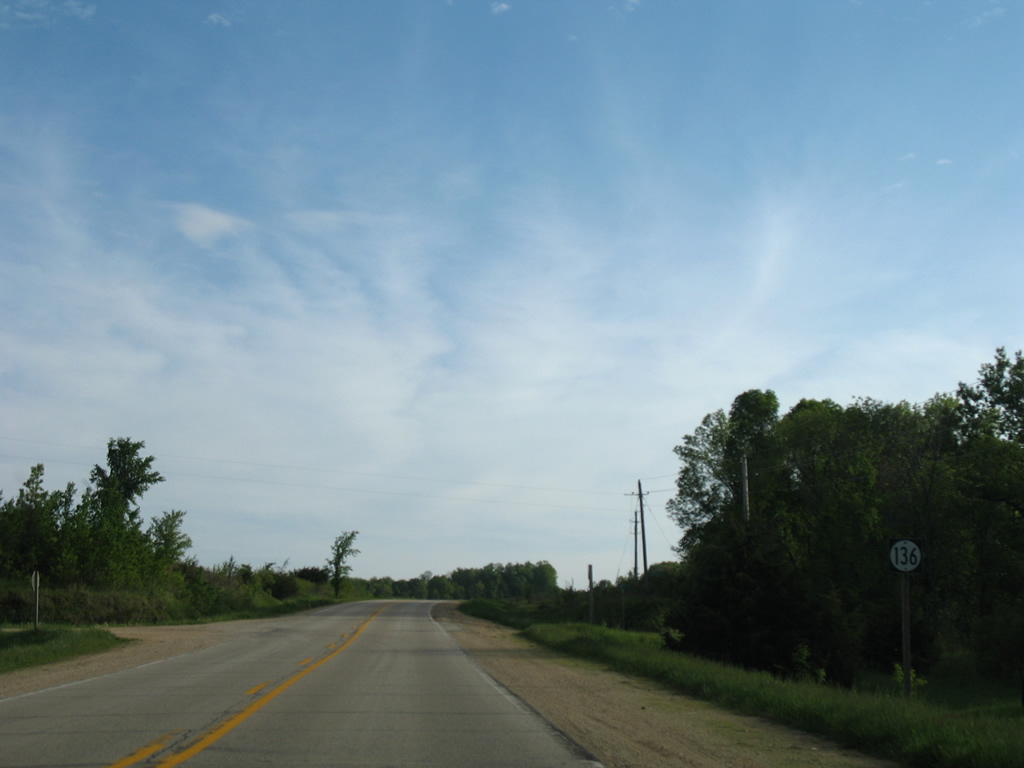
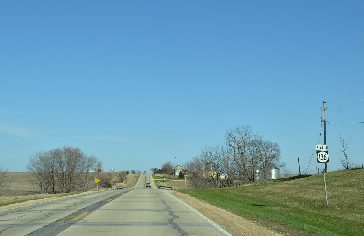
Another series of hills rise north of the Little Bear Creek valley along Iowa 136 south.
05/23/08
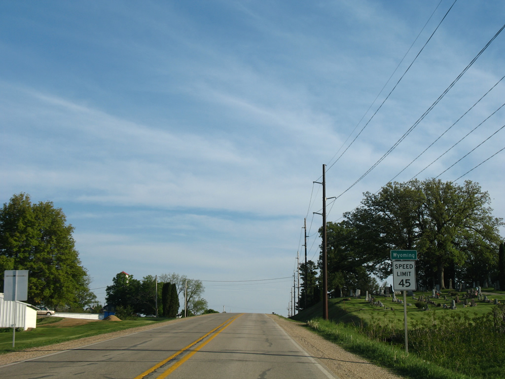
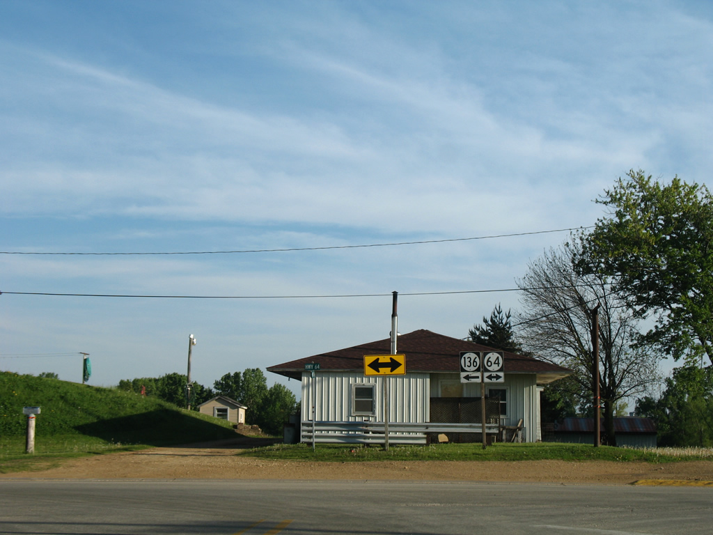
Entering northwestern reaches of Wyoming along Iowa 136 (Madison Street) south. Named for Wyoming County, New York, the city was incorporated on October 21, 1873 and home to 515 per the 2010 census.
05/23/08
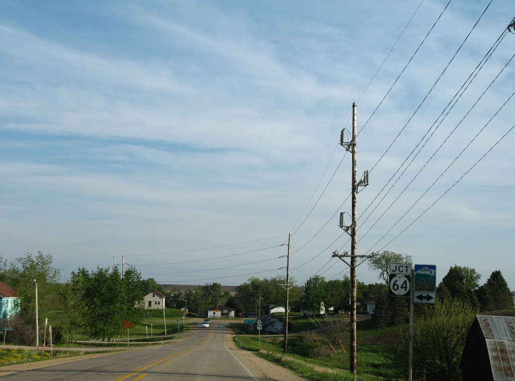
Madison Street carries Iowa 136 a short distance south to Iowa 64 (Main Street) in Wyoming. Iowa 64 is an Iowa Scenic Byway east to Maquoketa and west to U.S. 151.
05/23/08
Iowa 64 east and Iowa 136 south travel one mile east along Main Street through Wyoming.
05/23/08

West from Wyoming, Iowa 64 ventures 15 miles to end at Anamosa. Eastward the state highway joins Wyoming with Maquoketa in 20 miles.
05/23/08
Iowa 136 turns east onto Iowa 64 (Main Street). Iowa 64 constitutes a 64 mile long route between U.S. 151 and the Dale Gardner Veterans Memorial Bridge across the Mississippi River with U.S. 52.
05/23/08
 East South
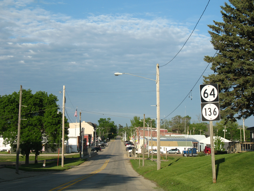
Nearing the crossing of Little Bear Creek along Iowa 64/136 (Main Street) east in Wyoming.
05/23/08

Vintage traffic light assemblies appear at Iowa 64/136 (Main Street) and Washington Street.
05/23/08
Iowa 64 doubles as the Hiawatha Pioneer Trail from Anamosa to Maquoketa.
05/23/08
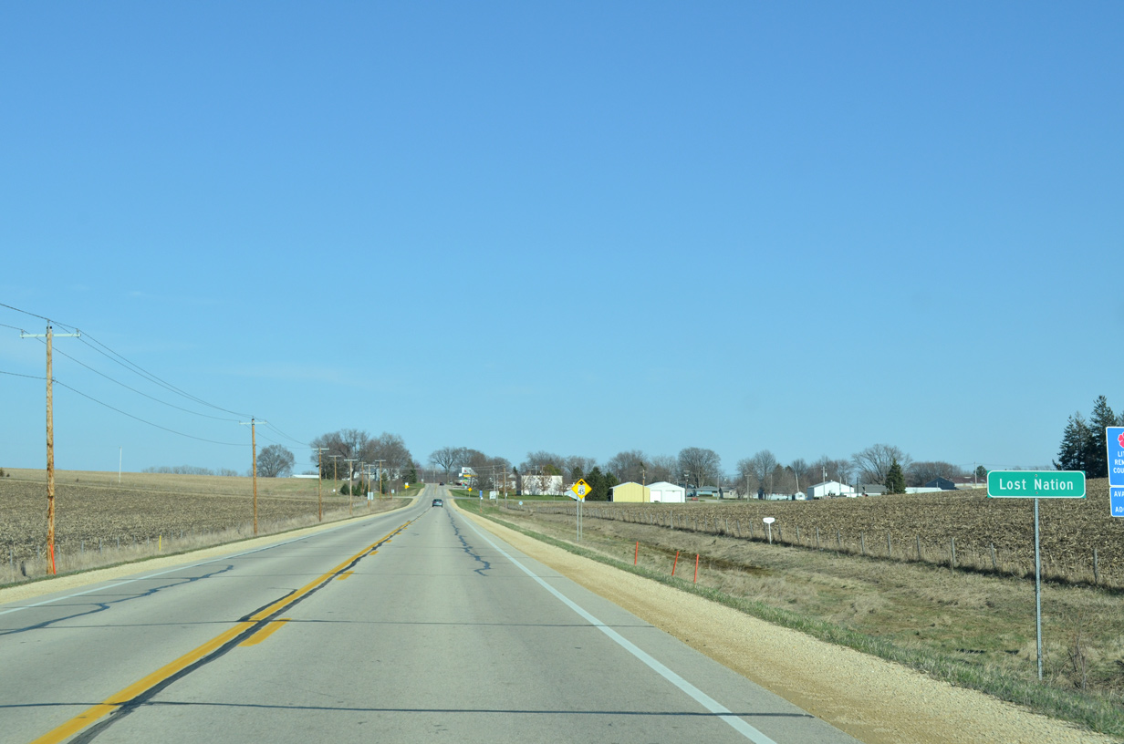
Maquoketa, seat of Jackson County, is a 19 mile drive from Wyoming along Iowa 64 east. Iowa 136 turns south and east from town seven miles to Oxford Junction, where the route begins an easterly push to Lost Nation, Delmar and Clinton.
05/23/08
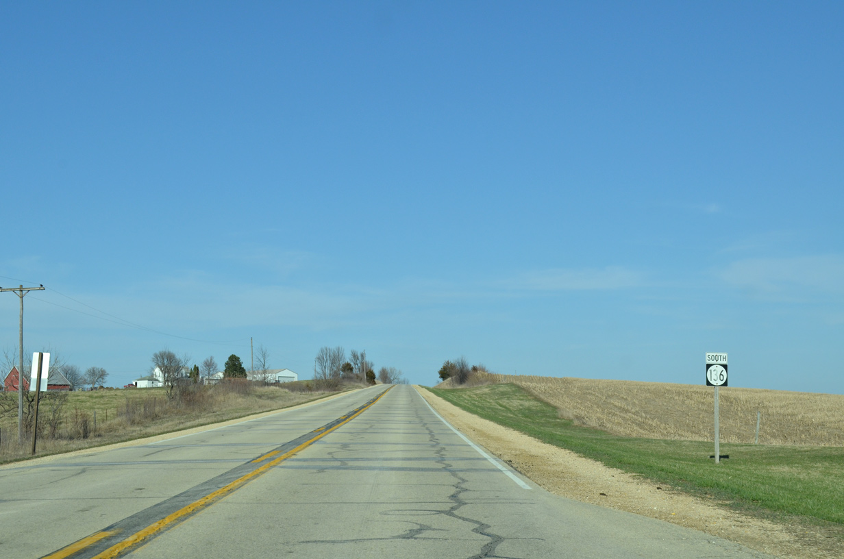
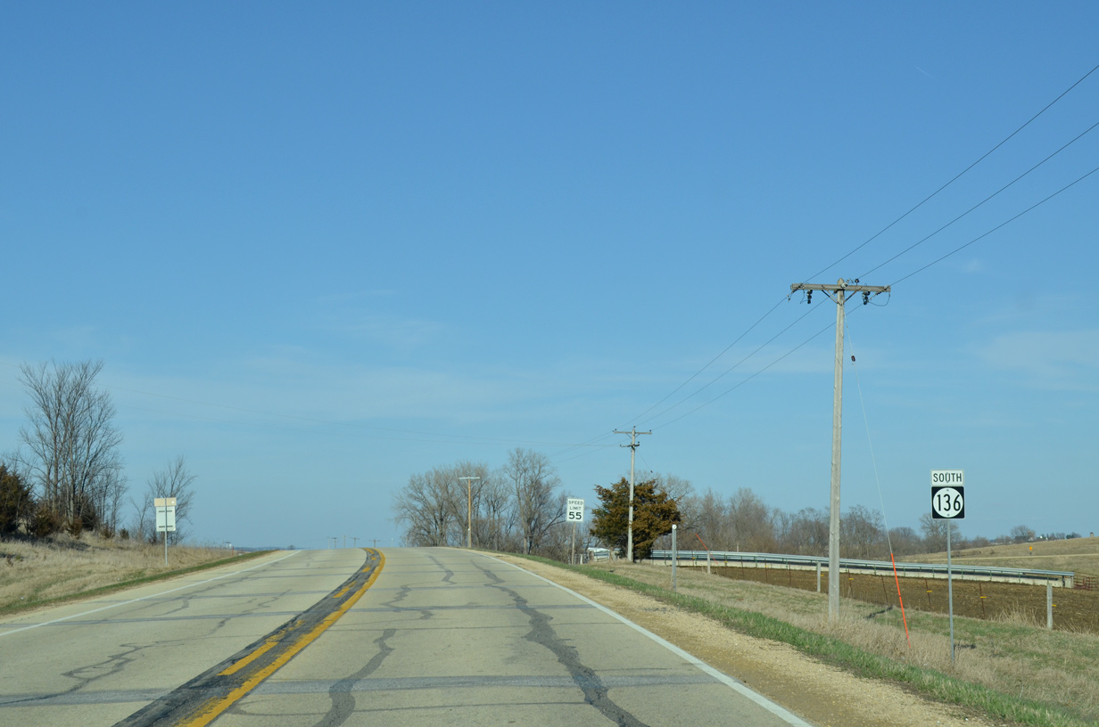
South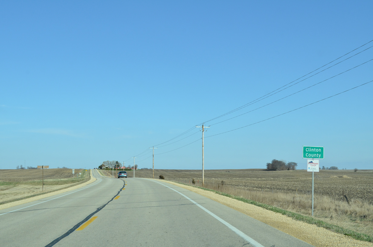
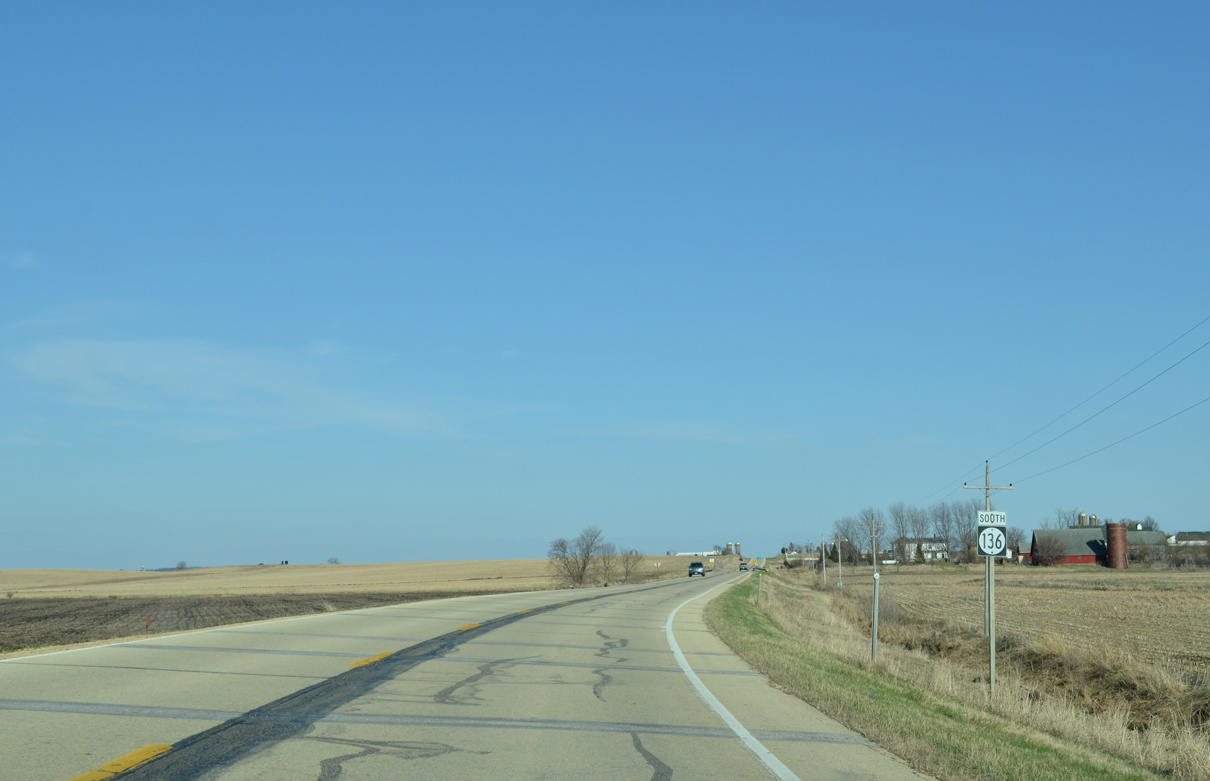
Iowa 136 enters Clinton County at the intersection with CR Y24 (100th Avenue) south.
03/25/16
108th Avenue stems north from Iowa 136 ahead of this shield assembly in Sharon township.
03/25/16
Iowa 136 east of 130th Avenue.
03/25/16
Entering the north side of the Lost Nation city limits.
03/25/16

County Road Y34 follows Western Street south by the Lost Nation business district.
03/25/16
Iowa 136 turns northeast from Winter Street in Lost Nation.
03/25/16
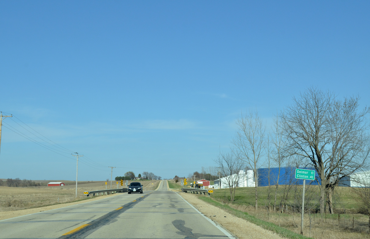
Delmar lies 11 miles east beyond U.S. 61 via Iowa 136.
03/25/16
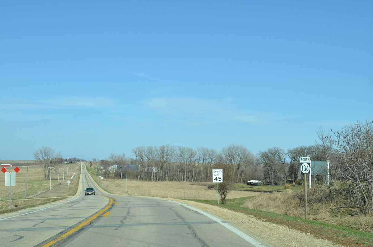
Although traveling northeast, Iowa 136 remains signed with south banners between Lost Nation and Elwood.
03/25/16
Crossing 160th Avenue and Brookfield township along Iowa 136 southbound.
03/25/16
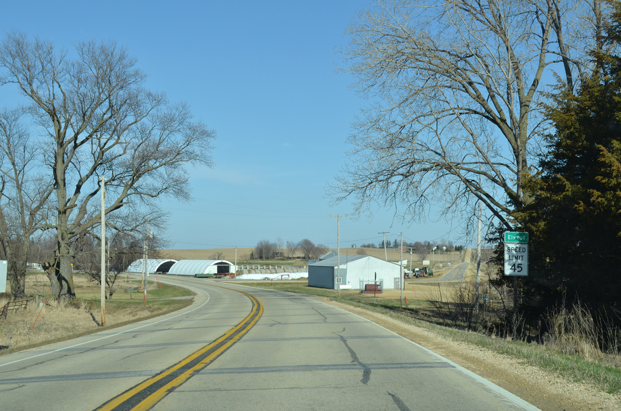
Curving northward again, southbound Iowa 136 passes through the unincorporated community of Elwood.
03/25/16
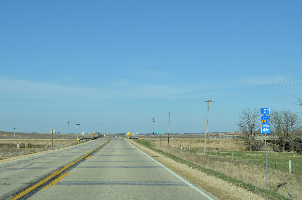
County Road Y46 crosses paths with Iowa 136 northward to Maquoketa Municipal Airport (OQW) and Iowa 64 in Jackson County.
03/25/16
Iowa 136 continues northeast another half mile from CR Y36 to 120th Street, where it resumes an eastward heading toward Delmar.
03/25/16
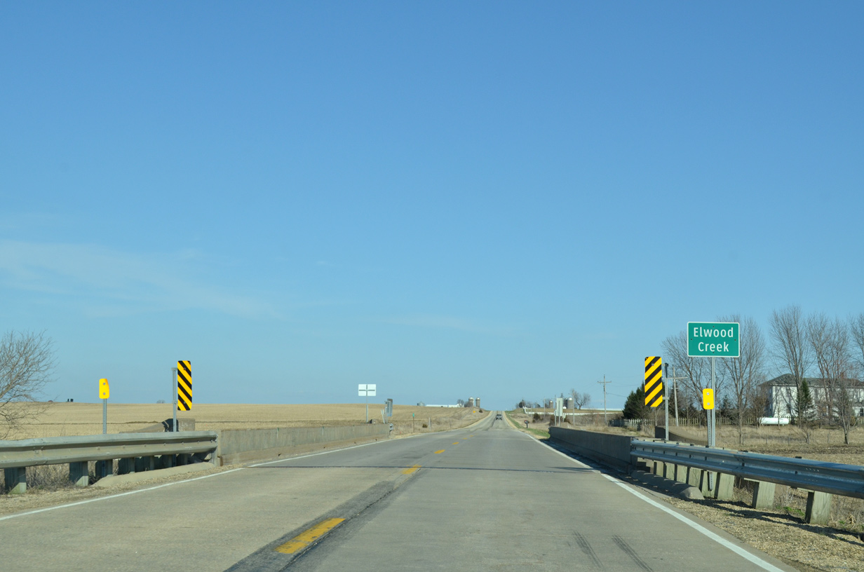
Elwood Creek flows north to Prairie Creek on the Jackson County line.
03/25/16
Iowa 136 proceeds east along a section line to 200th Avenue.
03/25/16
Reassurance marker posted between 210th Avenue and a tributary of Elwood Creek.
03/25/16

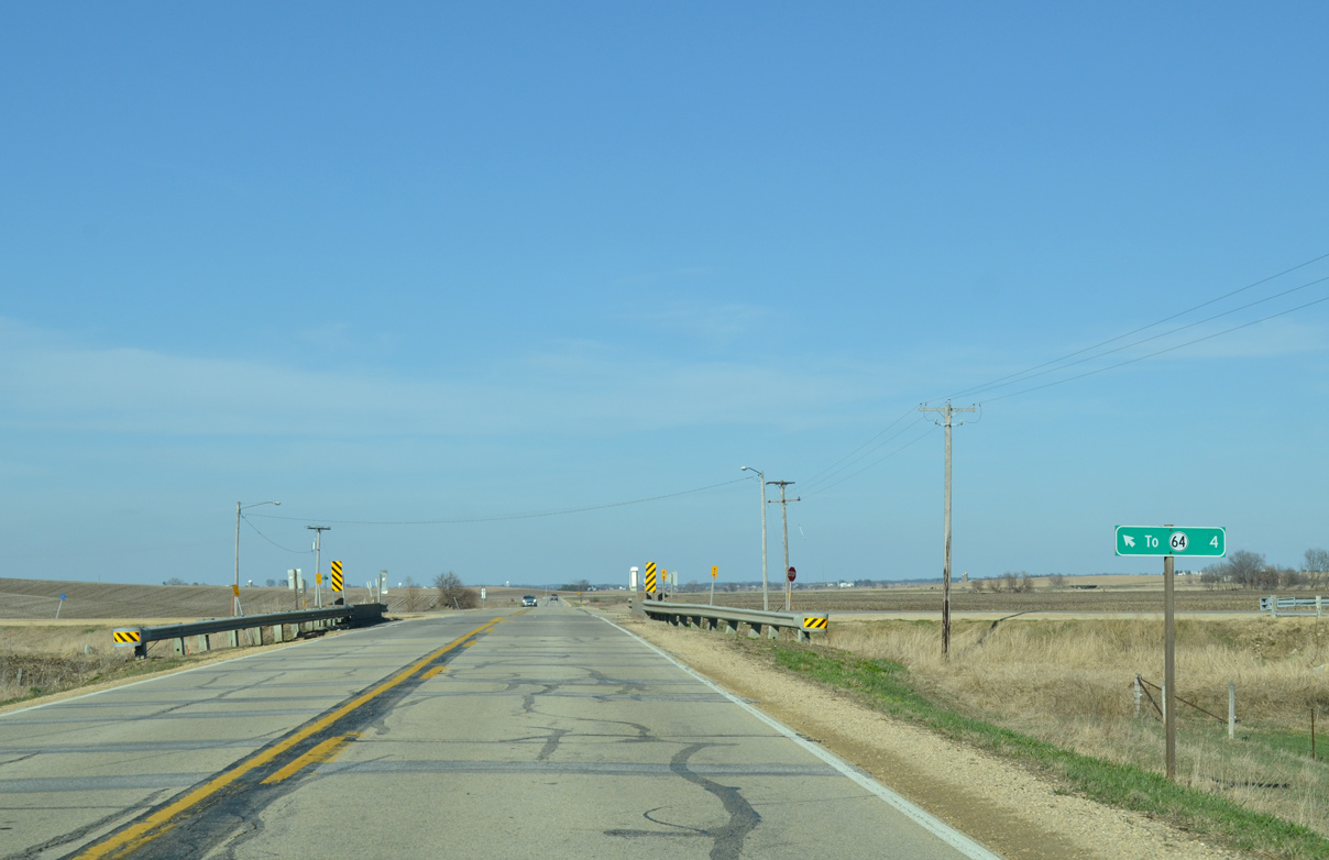
Iowa 136 meets U.S. 61 at a diamond interchange adjacent to 220th Avenue in Bloomfield township.
03/25/16
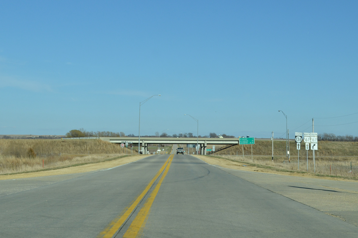
220th Avenue represents the pre-freeway alignment of U.S. 61 leading north into Maquoketa.
03/25/16
 South
South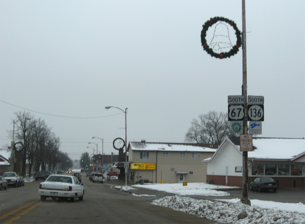
U.S. 67/Iowa 136 combine for three blocks east on Main Avenue to 2nd Street.
12/21/09

Approaching the turn of U.S. 67/Iowa 136 south onto Main Avenue. The pair overlap for 0.7 miles.
12/21/09
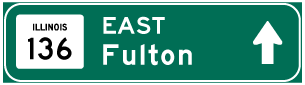
Traffic bound for Fulton, Illinois departs U.S. 67 (2nd Street) south for Iowa 136 south. Iowa 136 becomes Illinois Route 136, a 3.2 mile route linking Clinton with U.S. 30 east of Fulton.
12/21/09
South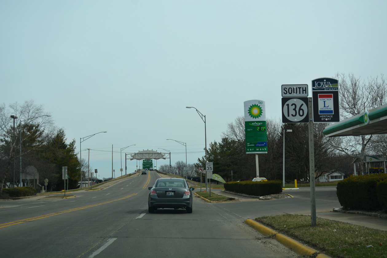
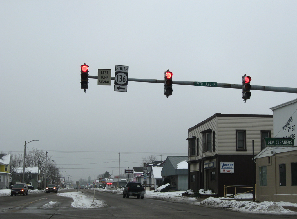
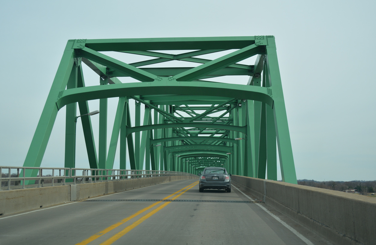
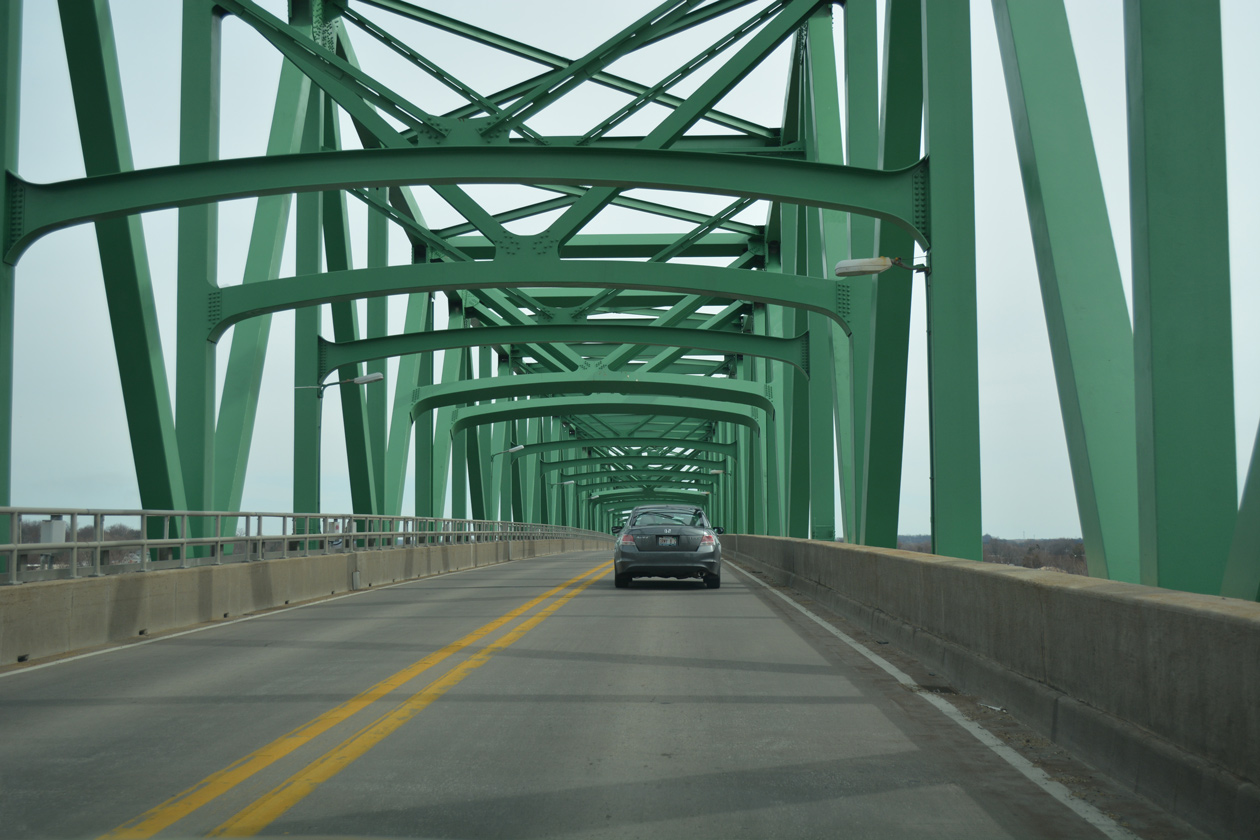
Iowa 136 turns east onto a block of 19th Avenue North before ascending onto the Mark Morris Memorial Bridge. Two eastbound lanes quickly merge beyond the intersection with Roosevelt Street and this reassurance marker.
03/12/17
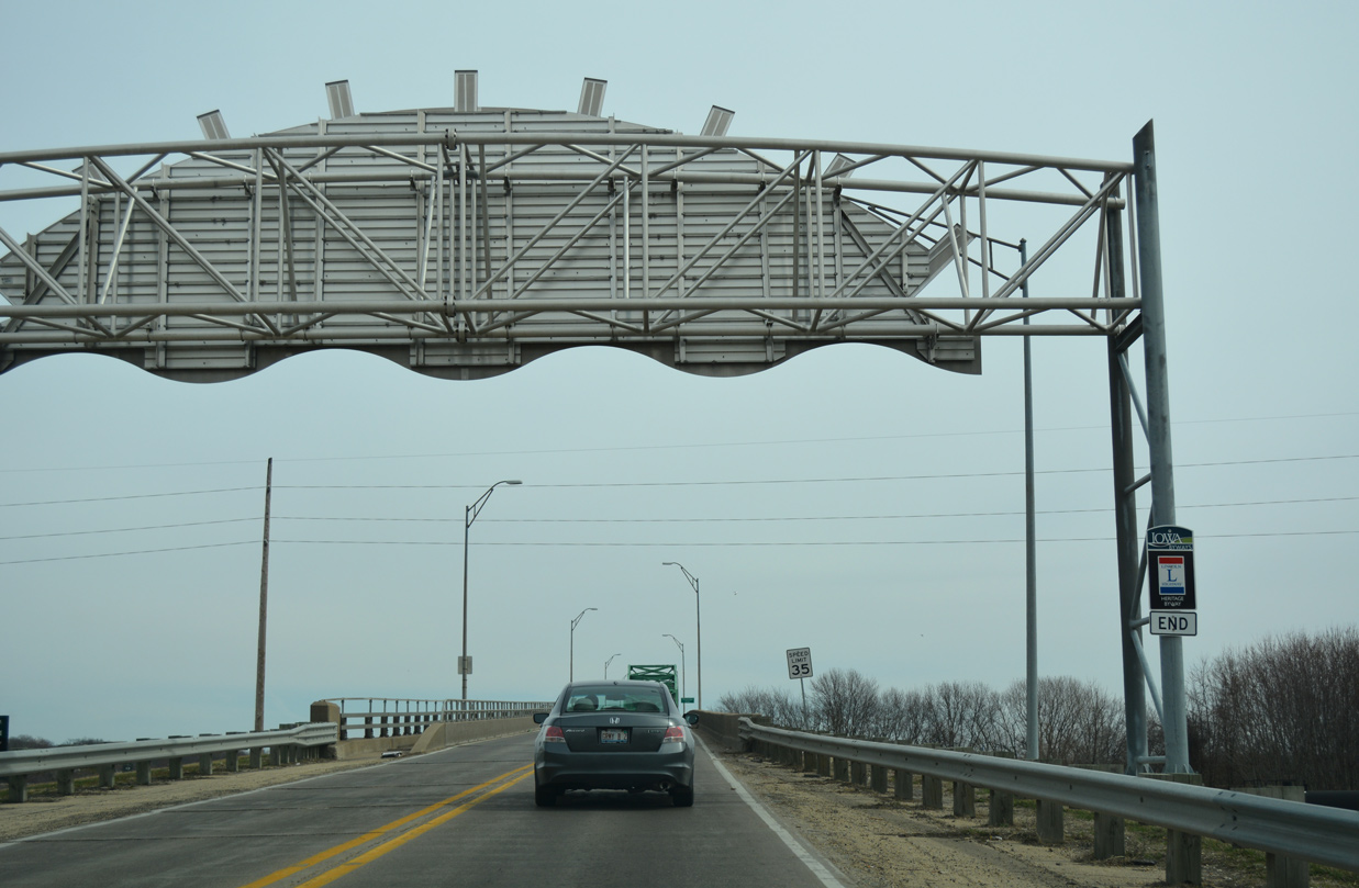
The Lincoln Highway Heritage Byway formally ends at the Mark Morris Memorial Bridge. U.S. 30 crossed the Mississippi River on the previous Lyons-Fulton Bridge until 1954, when the Gateway Bridge opened to the south.
03/12/17
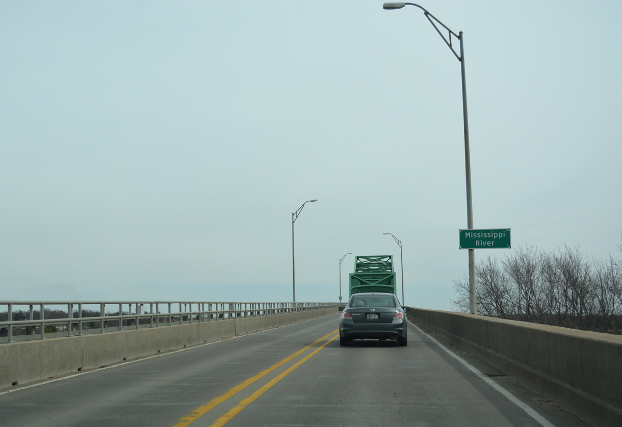
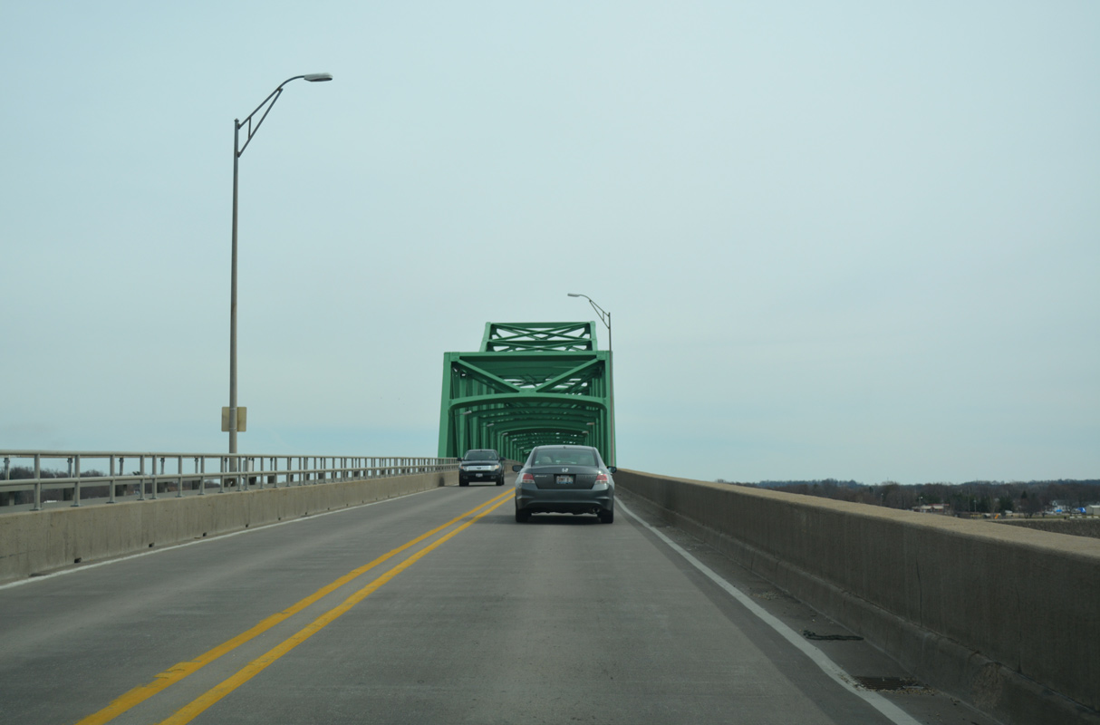
The two lane Mark Morris Memorial Bridge links the Lyons District of Clinton with Fulton, Illinois across the Mississippi River.
03/12/17
The Mark Morris Memorial Bridge is a steel truss bridge measuring 3,011 feet in length with a 30 feet wide deck. Opened to traffic in January 1975, the span peaks at a height of 65 feet above the Mississippi River.1
03/12/17

References:
- Gateway Bridge. johnweeks.com.
Photo Credits:
- Alex Nitzman: 05/23/08, 12/21/09
- Alex Nitzman, Bill Gatchel: 03/25/16, 03/12/17
Connect with:
Page Updated Friday December 20, 2019.