
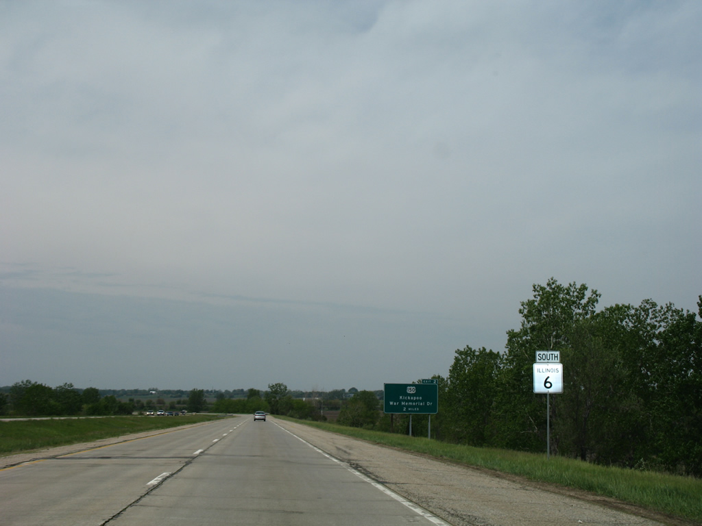
Route 6

Illinois Route 6 extends 10.10 miles north along a freeway from Interstate 474 at I-74 in western Peoria around northern reaches of Peoria to IL 29 at Mossville. The freeway opened initially along with I-474 from I-74 north to U.S. 150 on December 20, 1979. Opening of IL 6 north to IL 40 (then IL 88) followed on on December 28, 1982. The freeway north to IL 29 was completed on November 3, 1985.1

IL 6 extends north from the west end of Interstate 474 through suburban areas of western Peoria.
05/24/08

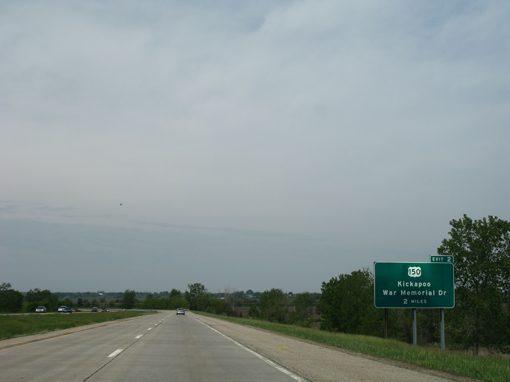
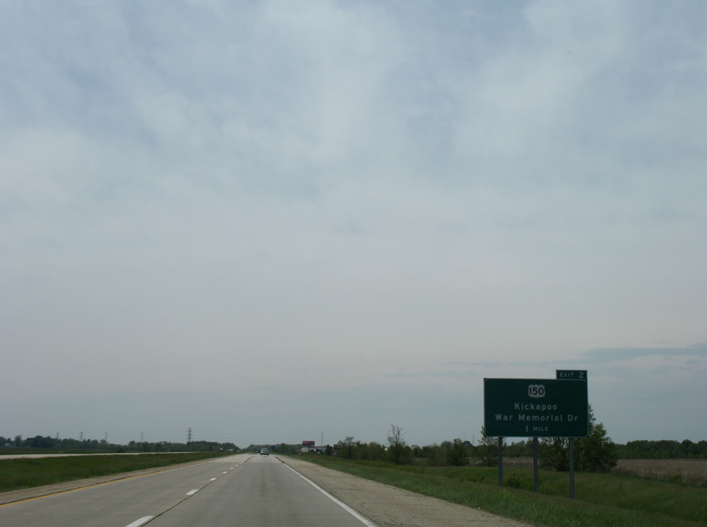
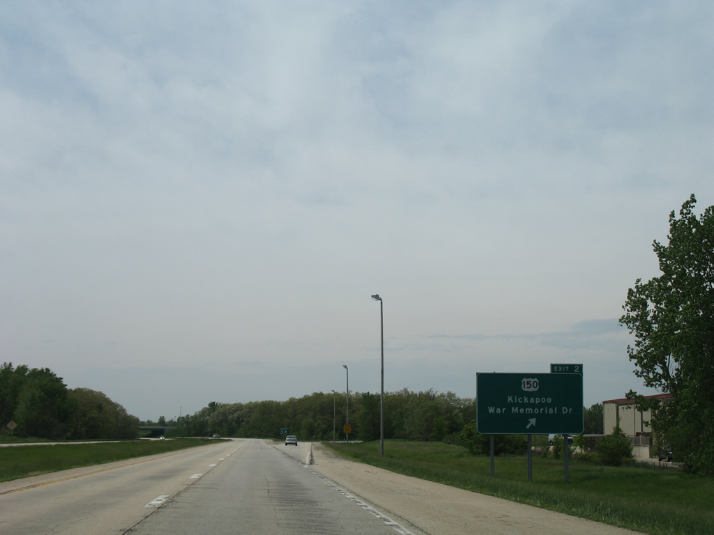
The first of four exits along IL 6 joins the freeway with U.S. 150 (War Memorial Drive) at Orange Prairie in one mile.
05/24/08

U.S. 150 follows War Memorial Drive southeast through the city to Peoria Heights and the Mc Clugage Bridge across the Illinois River. Commercial frontage lines the arterial along both directions from Exit 2.
05/24/08
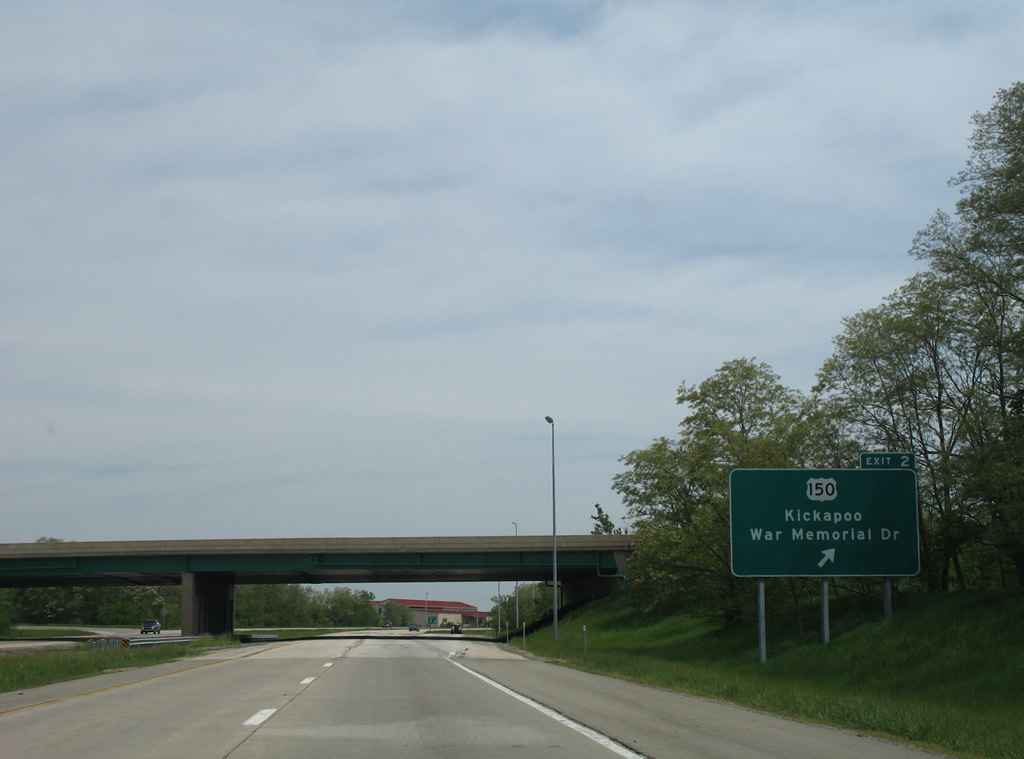
A folded diamond interchange joins IL 6 with U.S. 150 (War Memorial Drive) at Exit 2. U.S. 150 vacates Peoria west en route to Kickapoo along an alignment paralleling I-74 to Galesburg and the Quad Cities.
05/24/08
IL 6 reassurance marker posted ahead of a tributary from Fargo Run. IL 91 parallels the route to the west nearby.
05/24/08
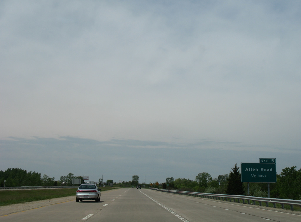
The freeway turns northeast across open farm land on the two miles preceding Exit 5 to Allen Road.
05/24/08
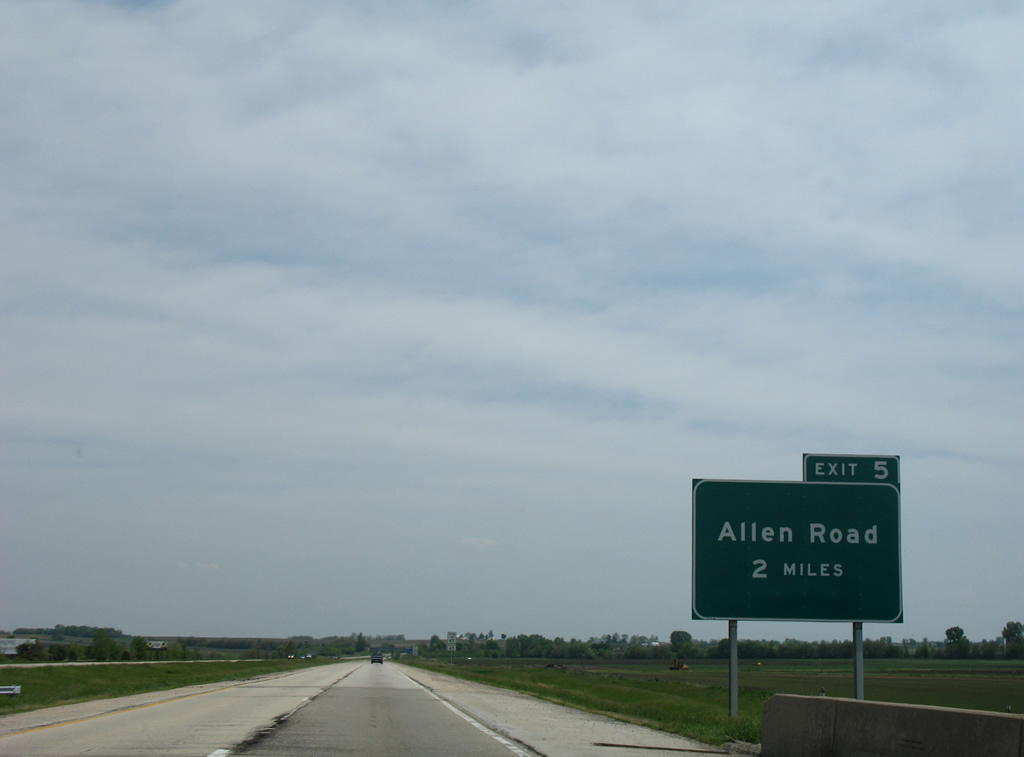
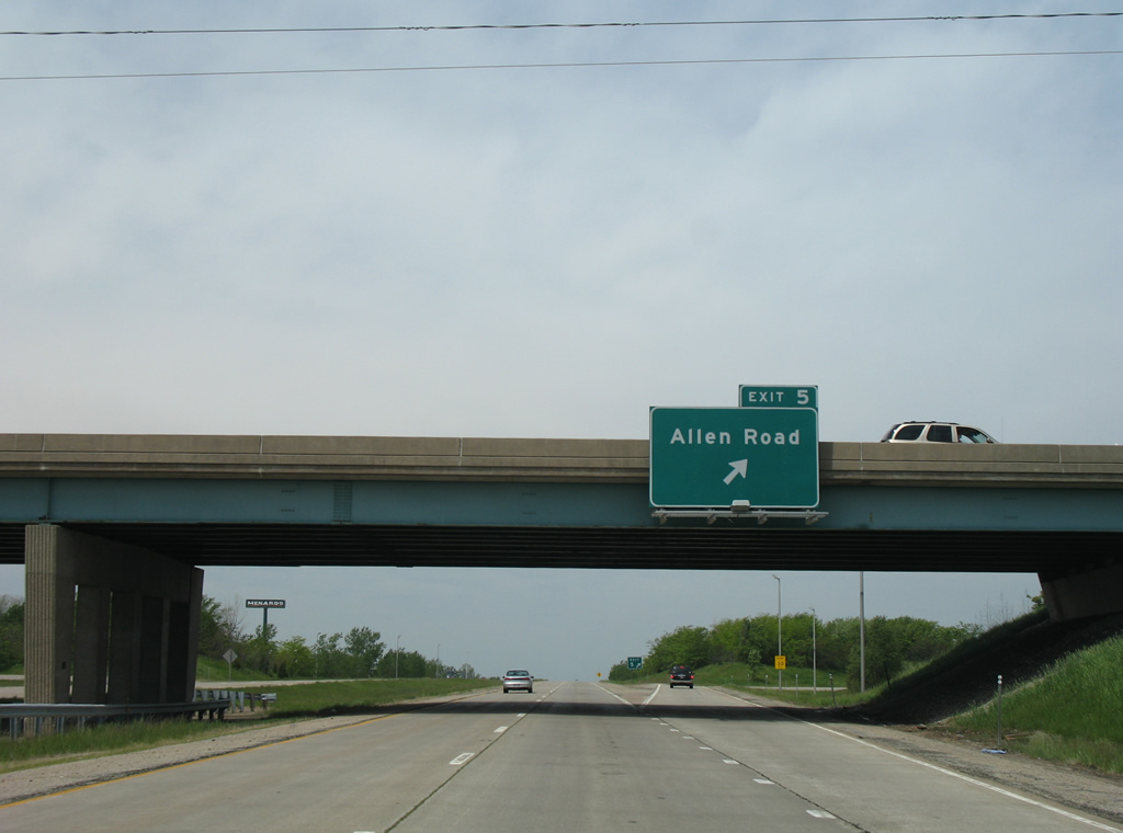
Allen Road meets IL 6 at a folded diamond interchange (Exit 5) a half mile ahead of IL 40 and four miles from the freeway end at IL 29.
05/24/08

Allen Road comprises a multi lane arterial south across the industrial north side of Peoria to U.S. 150 (War Memorial Drive). North from Exit 5, Allen Road enters the unincorporated community of Alta, were it intersects Grange Hall Road. Grange Hall Road west from Alta and Alta Road east from Allen Road to IL 40 represents former IL 174, a state route decommissioned in 1980.2
05/24/08
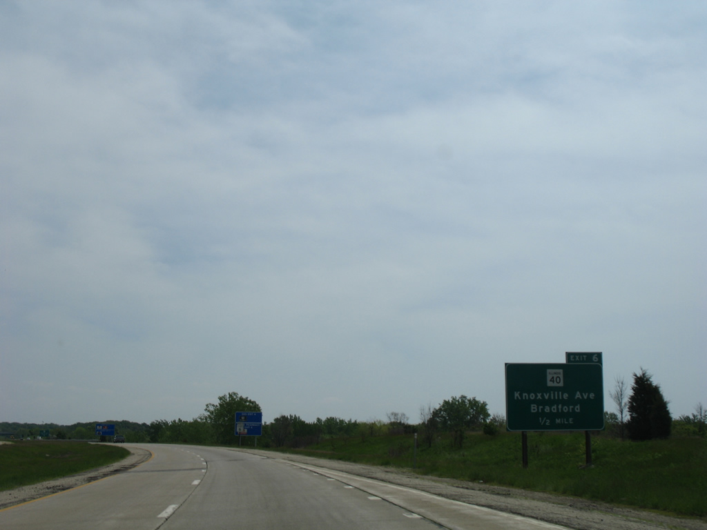
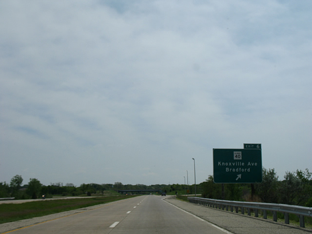
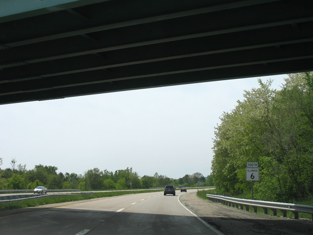
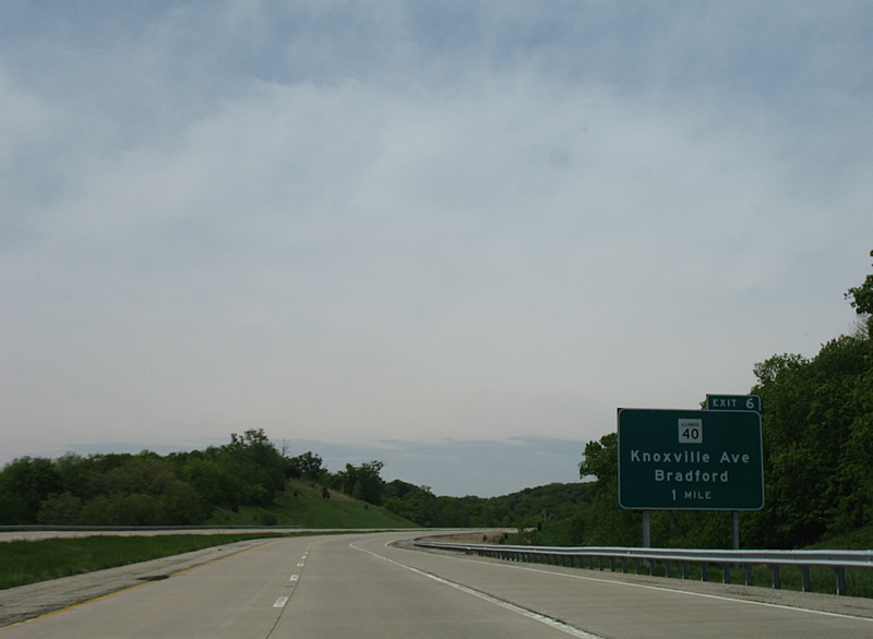
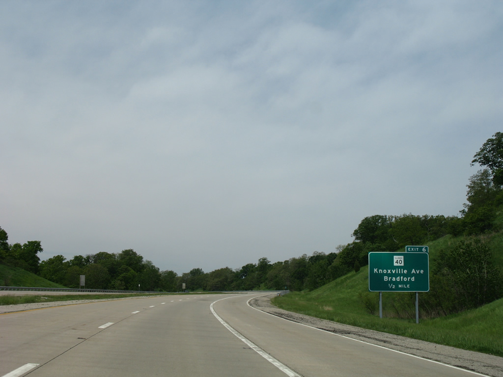
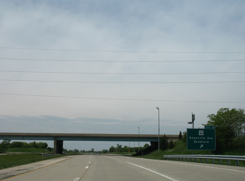
The third folded diamond interchange in succession links IL 6 with IL 40 (Knoxville Avenue) at forthcoming Exit 6.
05/24/08
IL 6 bends northward ahead of the Rock Island Greenway and Mt. Hawley Park in north Peoria.
05/24/08
IL 40 begins at the east end of the Murray Baker Bridge in East Peoria. The state route leads north through Downtown Peoria onto Knoxville Avenue to Exit 6. The 108 mile long highway continues to Bradford, Rock Falls and Mt. Carroll.
05/24/08
The final shield posted for IL 6 northbound.
05/24/08
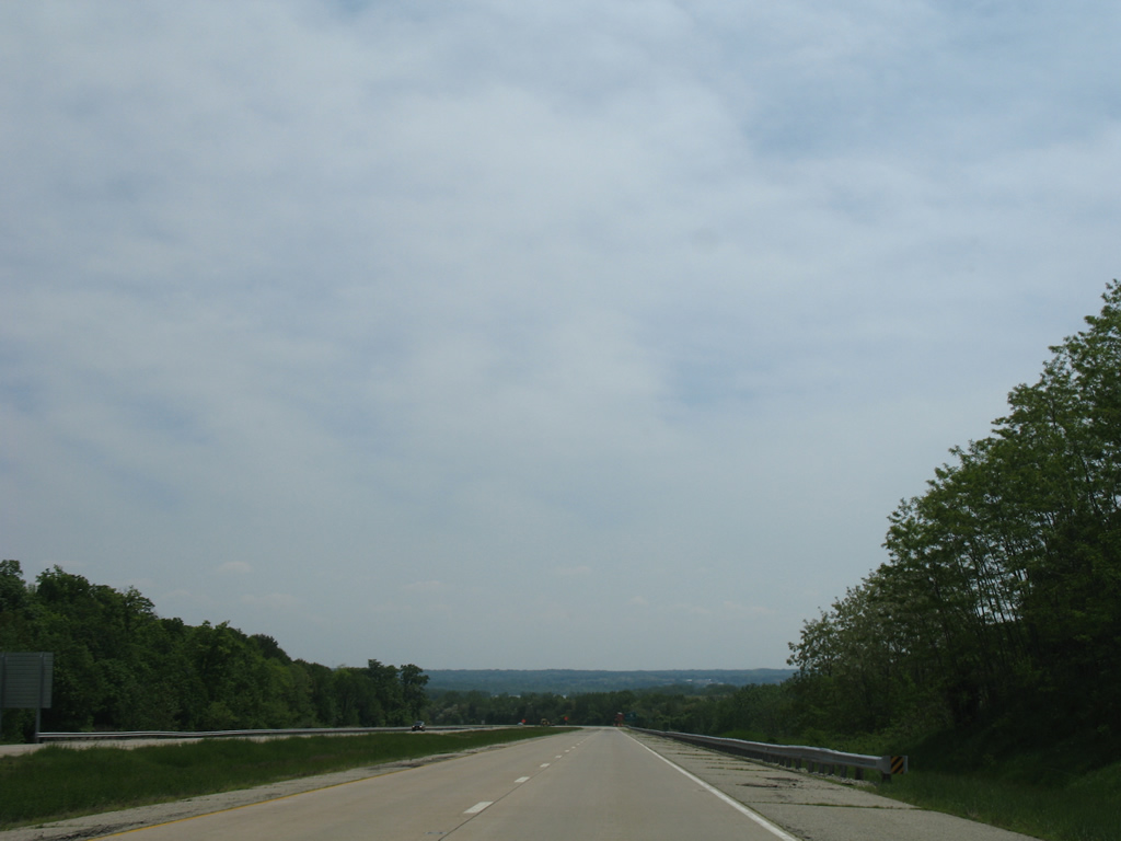
IL 6 makes an S-curve by Robinson Park and through Boyds Hollow ahead of the Illinois River flats at Mossville.
05/24/08
The freeway along IL 6 concludes at Exit 9 and an at-grade access road linking with IL 29 at Mossville.
05/24/08
IL 6 curves northward ahead of the freeway end beyond Robinson Park.
05/24/08

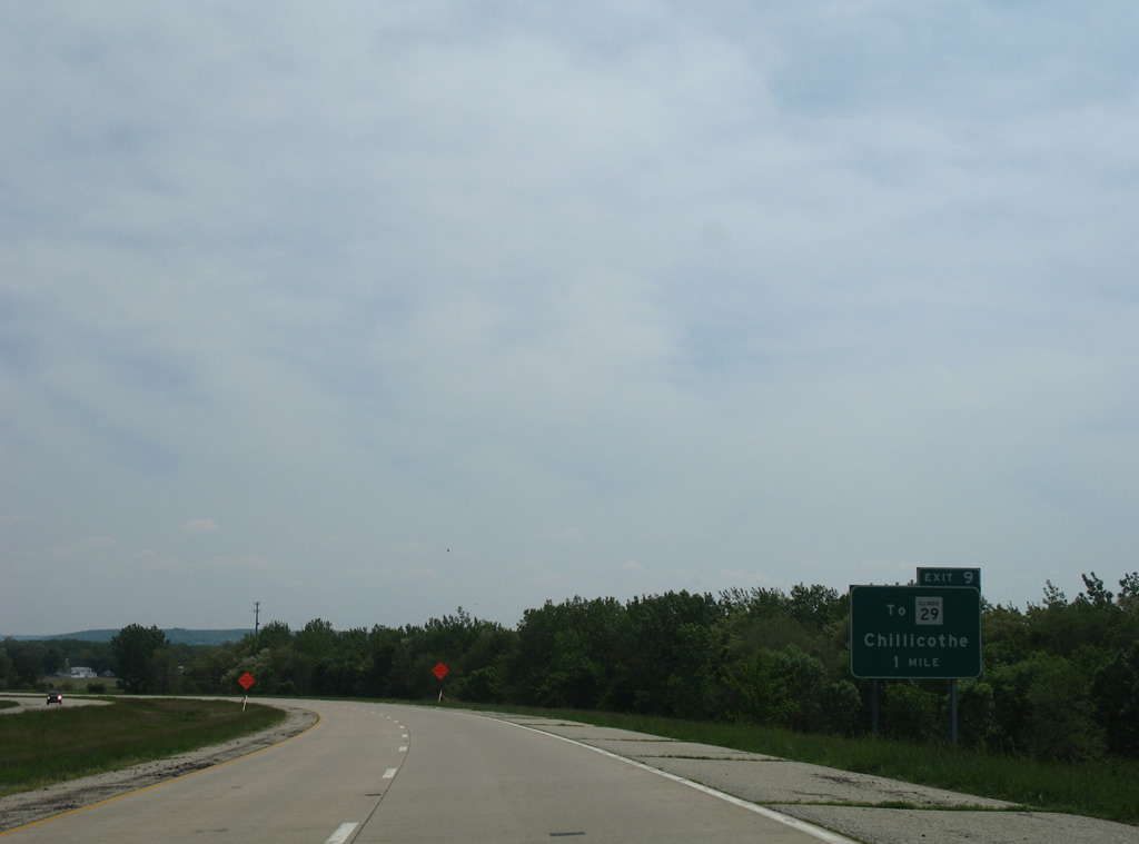
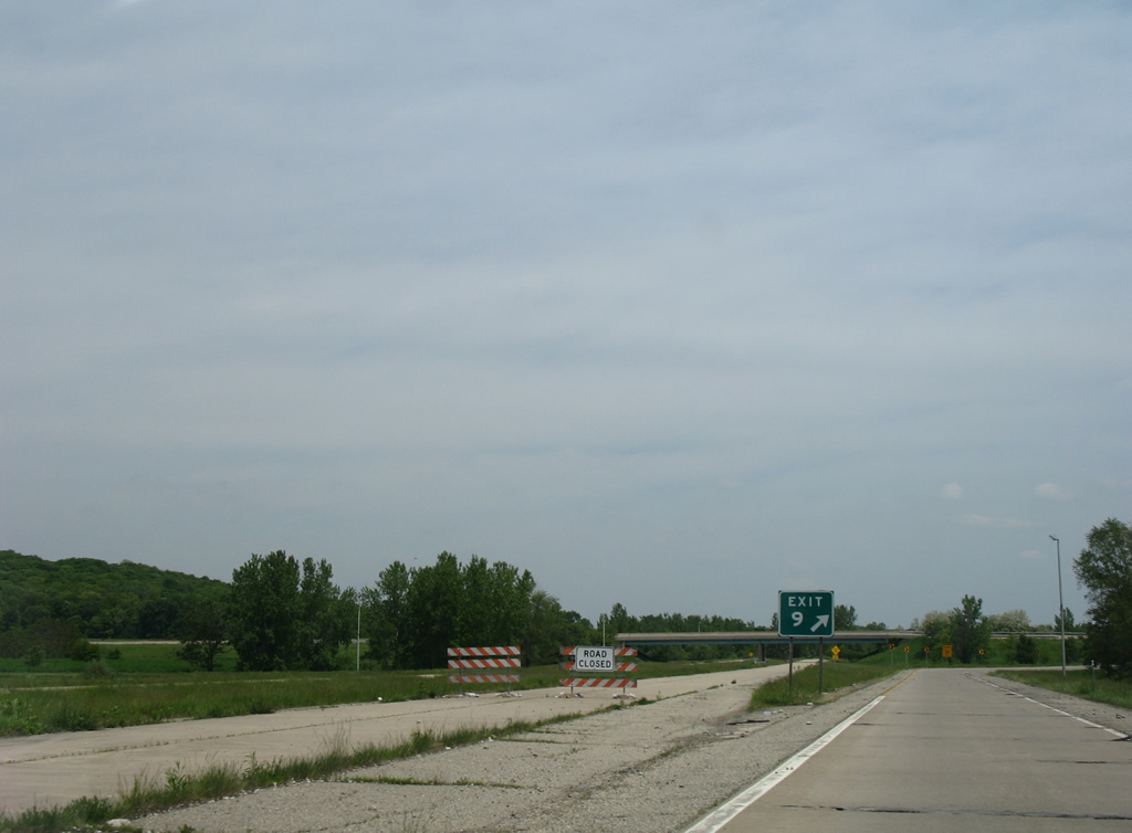
A partially built trumpet interchange (Exit 9) joins the freeway with the 0.17 mile long access road leading IL 6 east to both Peoria County Route 59R (State Street) and IL 29 north to Chillicothe.
05/24/08
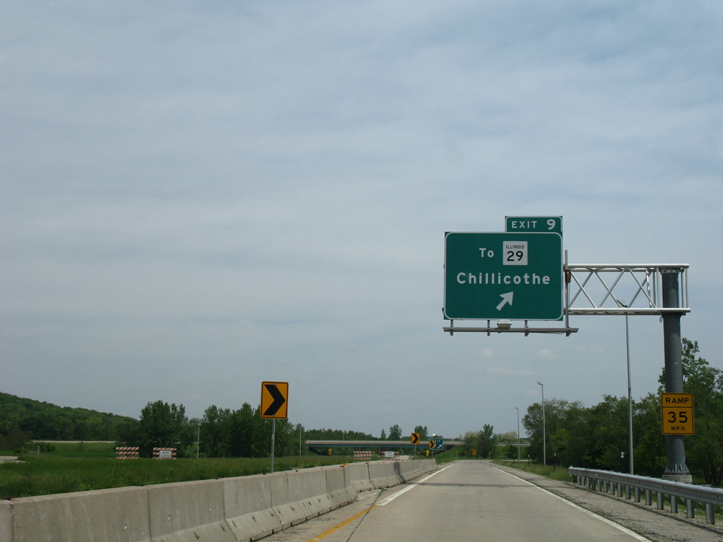
Barriers shunt all traffic on IL 6 north onto a single lane for Exit 9 to IL 29 at Mossville. IL 29 constitutes a 180 mile long highway between Pana and Spring Valley. Locally the route lines the Illinois River through Peoria and Peoria Heights.
05/24/08
Options previously considered for lengthening the freeway include lengthening IL 6 northward following the IL 29 corridor to Chillicothe. Another proposal was an eastern extension of the freeway across the Illinois River to complete the loop south to East Peoria and Interstate 74.
05/24/08
Regulatory signs posted along the unopened freeway stub for IL 6 at Exit 9.
05/24/08
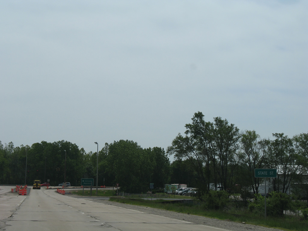
IL 6 intersects State Street to the immediate east. State Street heads south into Mossville and north 0.71 miles as CR R59 to a roundabout with Old Galena Road (CR E60).
05/24/08
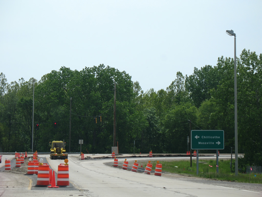
IL 29 heads south from Mossville to enter Peoria at Detweller Park. The census designated place of Rome and the city of Chillicothe are within eight miles to the north.
05/24/08

IL 6 stems 0.17 miles west along a four lane access road connecting IL 29 at Mossville to the partially built trumpet interchange with the freeway taking IL 6 south to Peoria.
05/24/08

The entrance ramp for the unconstructed extension of IL 6 north was partially constructed.
05/24/08

Unused roadways for the freeway along IL 6 at Exit 9.
05/24/08
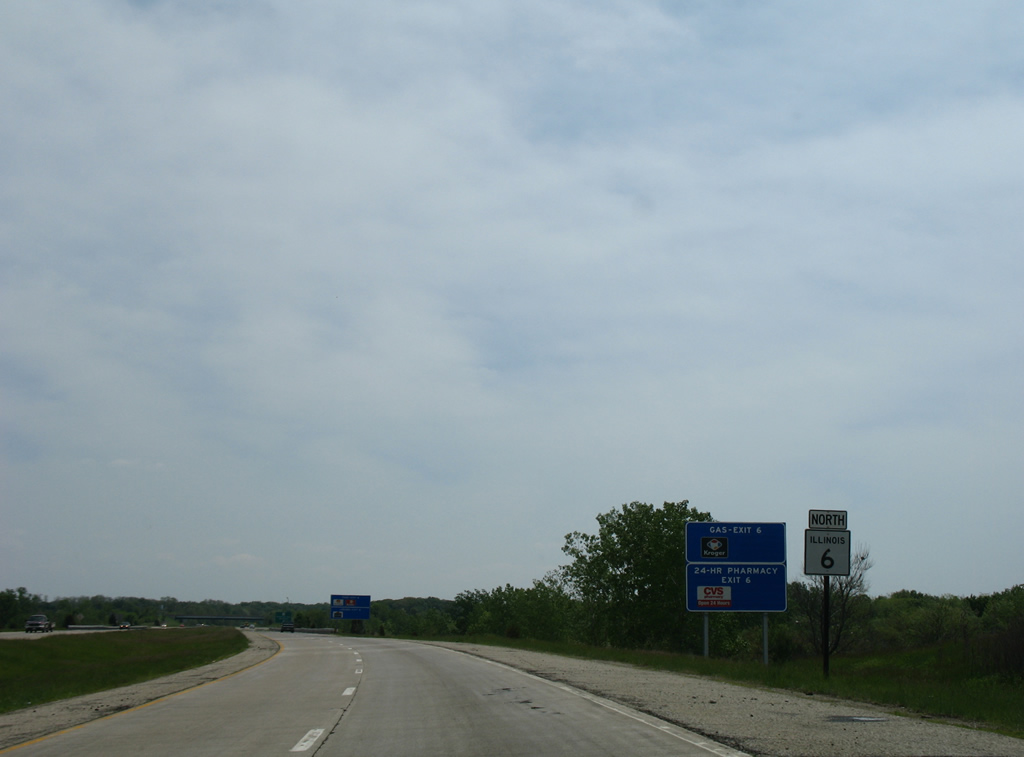
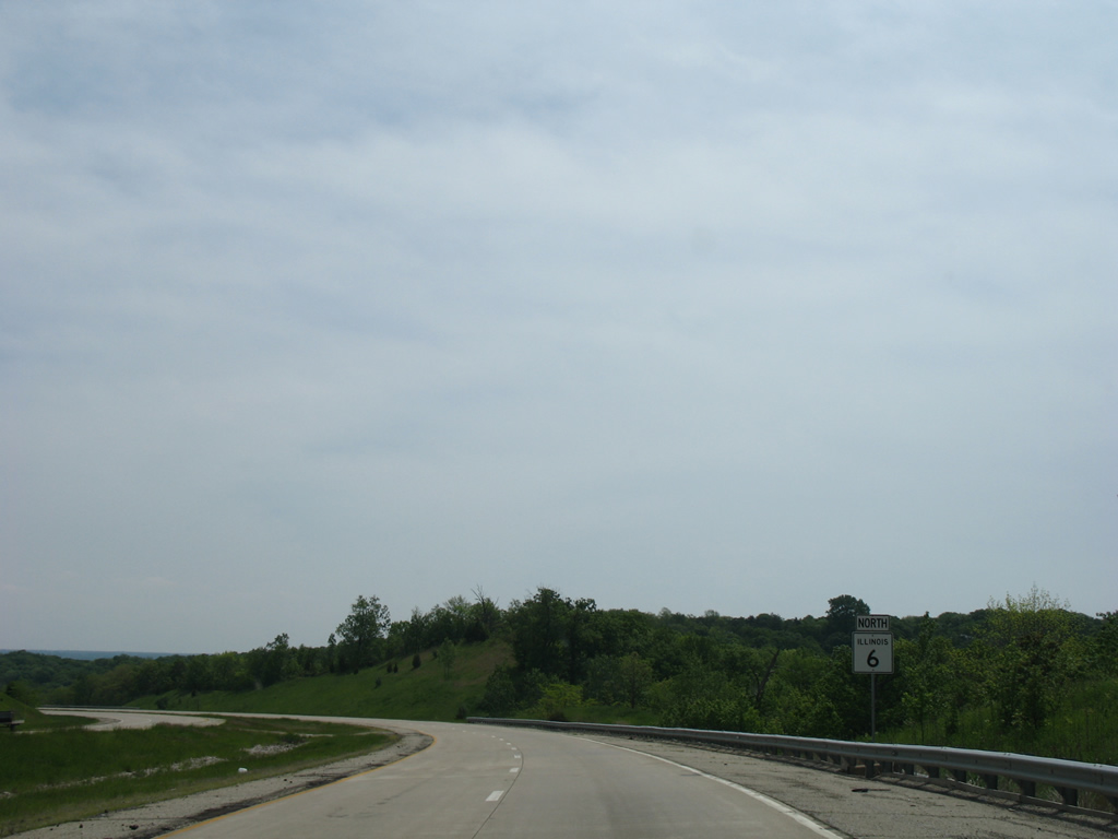
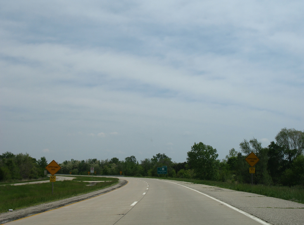
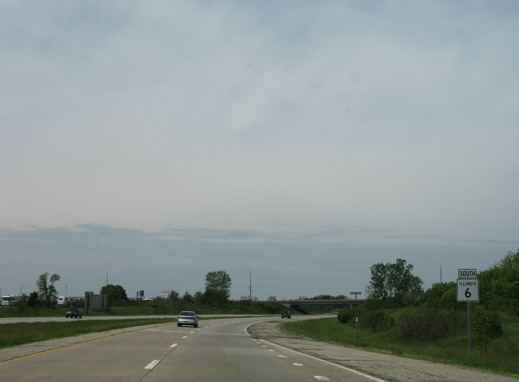
Mossville Road (County Route D31) crosses over IL 6 southbound at the first confirming marker for the 10.10 mile long route.
05/24/08
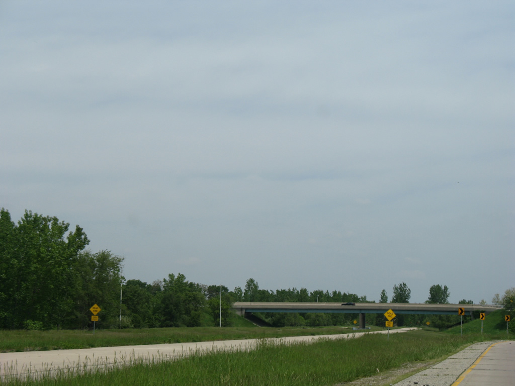
IL 6 south turns to climb onto hills west of the Illinois River ahead of a folded diamond interchange (Exit 6) with IL 40 (Knoxville Avenue).
05/24/08
Measuring 108 miles in length, IL 40 travels south from IL 78 at Mt. Carroll to Sterling, Rock Falls and Bradford before entering Peoria just ahead of Exit 6.
05/24/08
Knoxville Avenue leads IL 40 south from Exit 6 by Mount Hawley Auxiliary Airport (3MY) to I-74 and Downtown Peoria.
05/24/08
Exit 5 follows from IL 6 south for Allen Road. Allen Road branches south from IL 40 ahead of CR D28 (Cedar Hills Drive). Passing by a number of subdivisions in north Peoria, Allen road continues to the unincorporated community of Alta and the exchange with IL 6.
05/24/08
IL 6 crosses the Rock Island Greenway by Mt. Hawley park on the ensuing stretch west from IL 40.
05/24/08
Allen Road heads south from IL 6 by an industrial area before turning west to U.S. 150 (War Memorial Drive) at Charter Oak Road.
05/24/08
IL 6 travels west for another mile before curving south along the west side of Peoria.
05/24/08
U.S. 150 converges with IL 6 at a folded diamond interchange (Exit 2) in two miles.
05/24/08
Entering Peoria from Kickapoo, four miles to the west, U.S. 150 passes by The Shoppes at Grand Prairie mall to meet IL 91 adjacent to IL 6 at Exit 2.
05/24/08
Southeast from Exit 2, U.S. 150 follows War Memorial Drive to Golden Acres, Northwoods Mall and Peoria Heights.
05/24/08
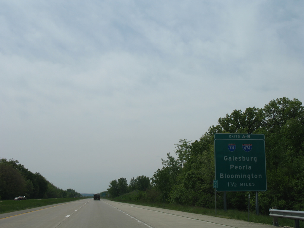
IL 6 runs between several subdivisions on the 1.5 miles preceding Exits 0 A/B for I-74 and Interstate 474 east.
05/24/08
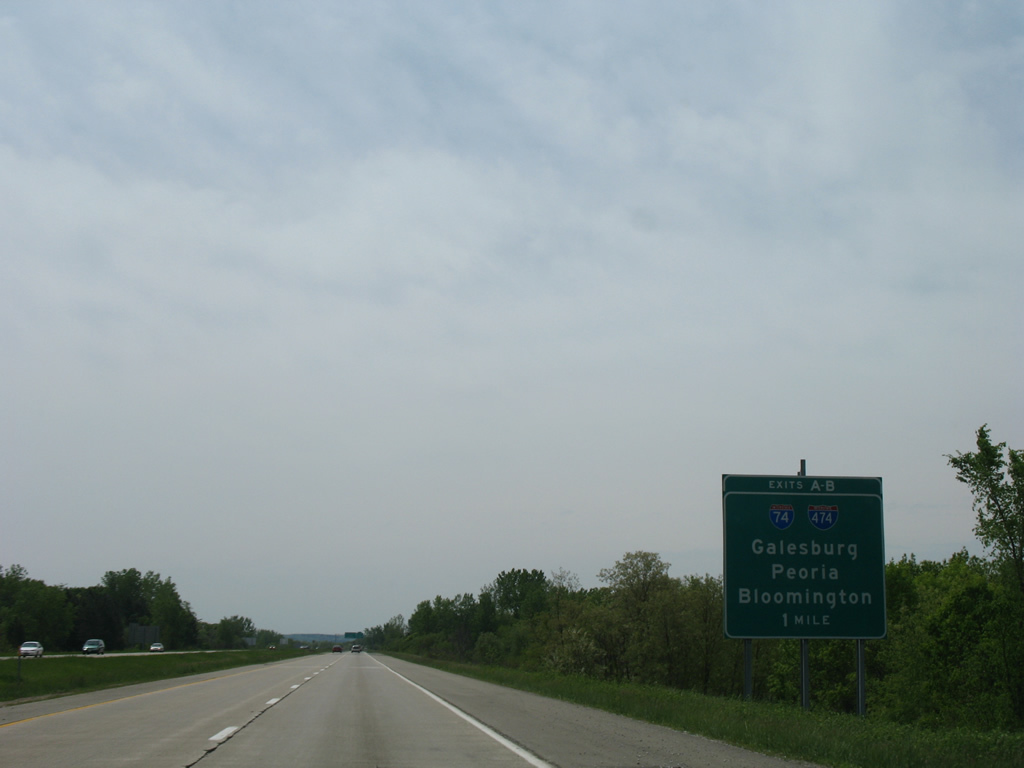
Interstate 74 vacates the Peoria area for Galesburg and the Quad Cities to the west while eastbound leads directly to Downtown.
05/24/08
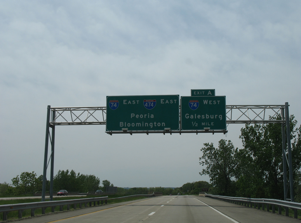
Interstate 74 leads west from Exit 0 A to Wildlife Prairie State Park, Galesburg, Moline and Rock Island. Bloomington is the control city for the south bypass around Peoria on I-474.
05/24/08
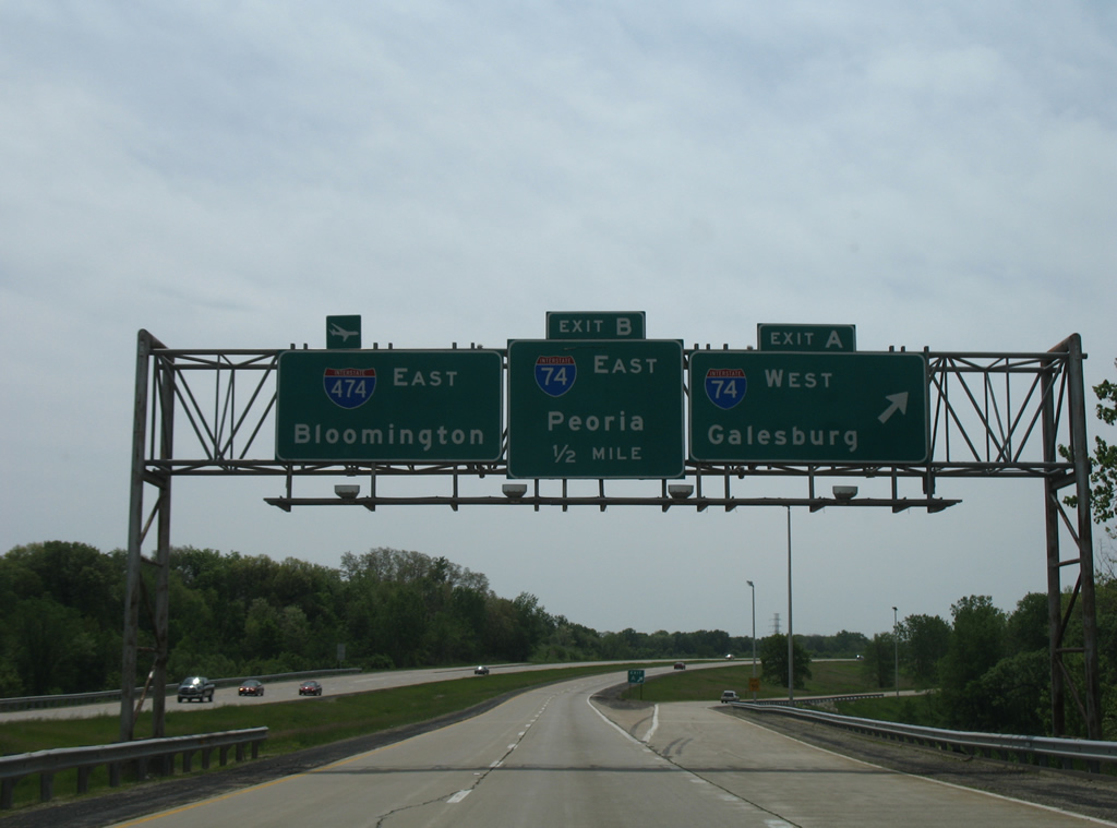
Exit 0 B follows a half mile after Exit 0 A, just beyond milepost zero where IL 6 south transitions into I-474 east.
05/24/08
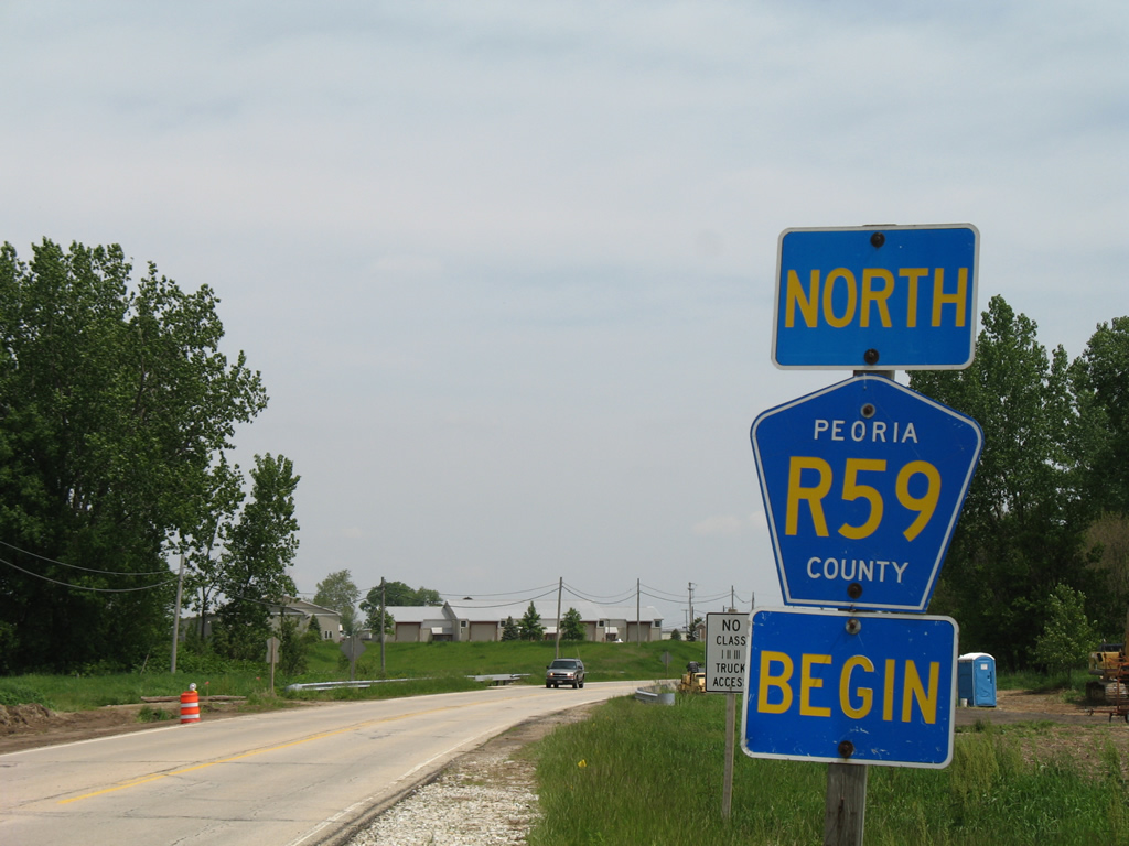
Peoria County Route R59 commences along State Street north from IL 6 at Mossville.
05/24/08
References:
- "Road to Change>Building Interstates." Journal Star (Peoria, IL), June 30, 1996.
- Routes 161 thru 180. Illinois Highways Page.
Photo Credits:
- Alex Nitzman: 05/24/08
Connect with:
Page Updated Monday March 25, 2013.