
Route 92 East - Rock Island

 East
East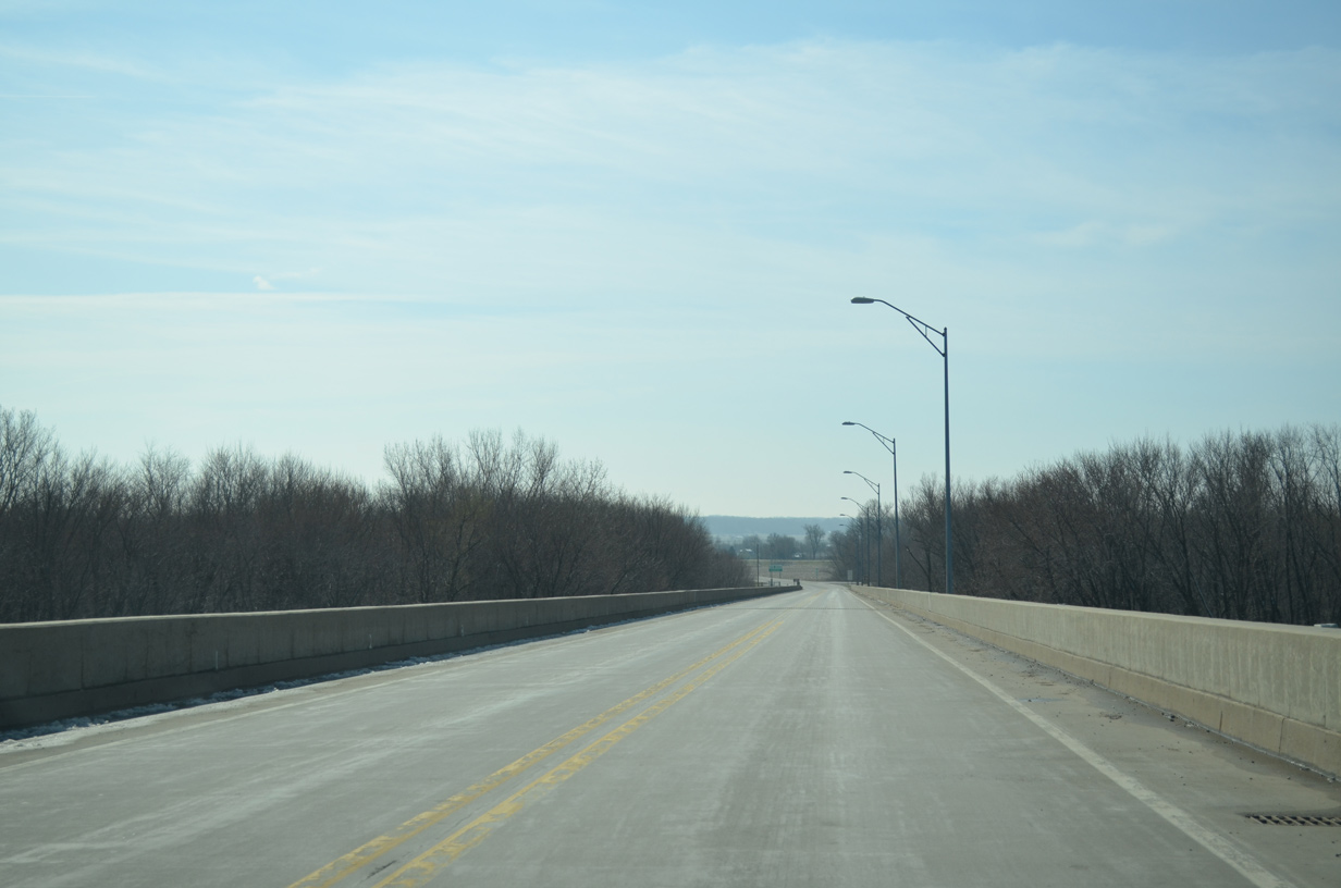
IL 92 descends gradually from the Beckey Bridge crest onto a flat agricultural area between the east banks of the Mississippi River and Fourth Slough.
03/25/16
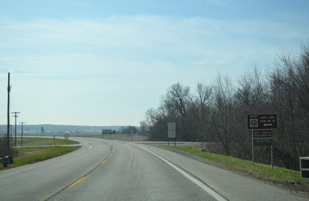
102nd Avenue West, a Great River Road Spur to Lock and Dam Number 16 on the Mississippi River, intersects IL 92 at the east end of the Beckey Bridge approach.
03/25/16
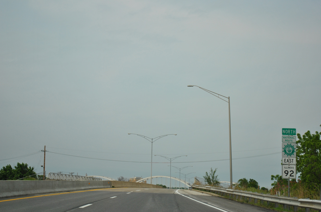
The first confirming marker for IL 92 follows 102nd Avenue West. The Great River Road overlays the state route to the Quad Cities.
03/25/16
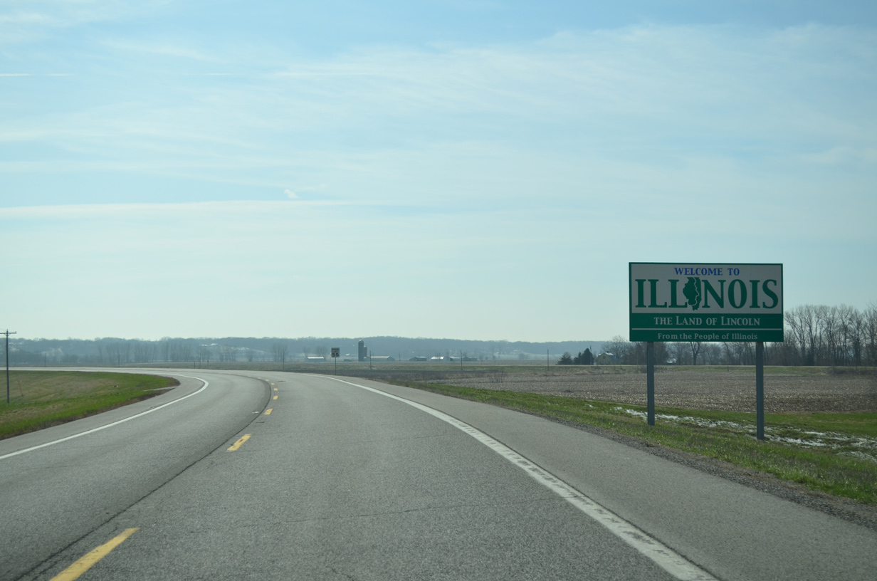
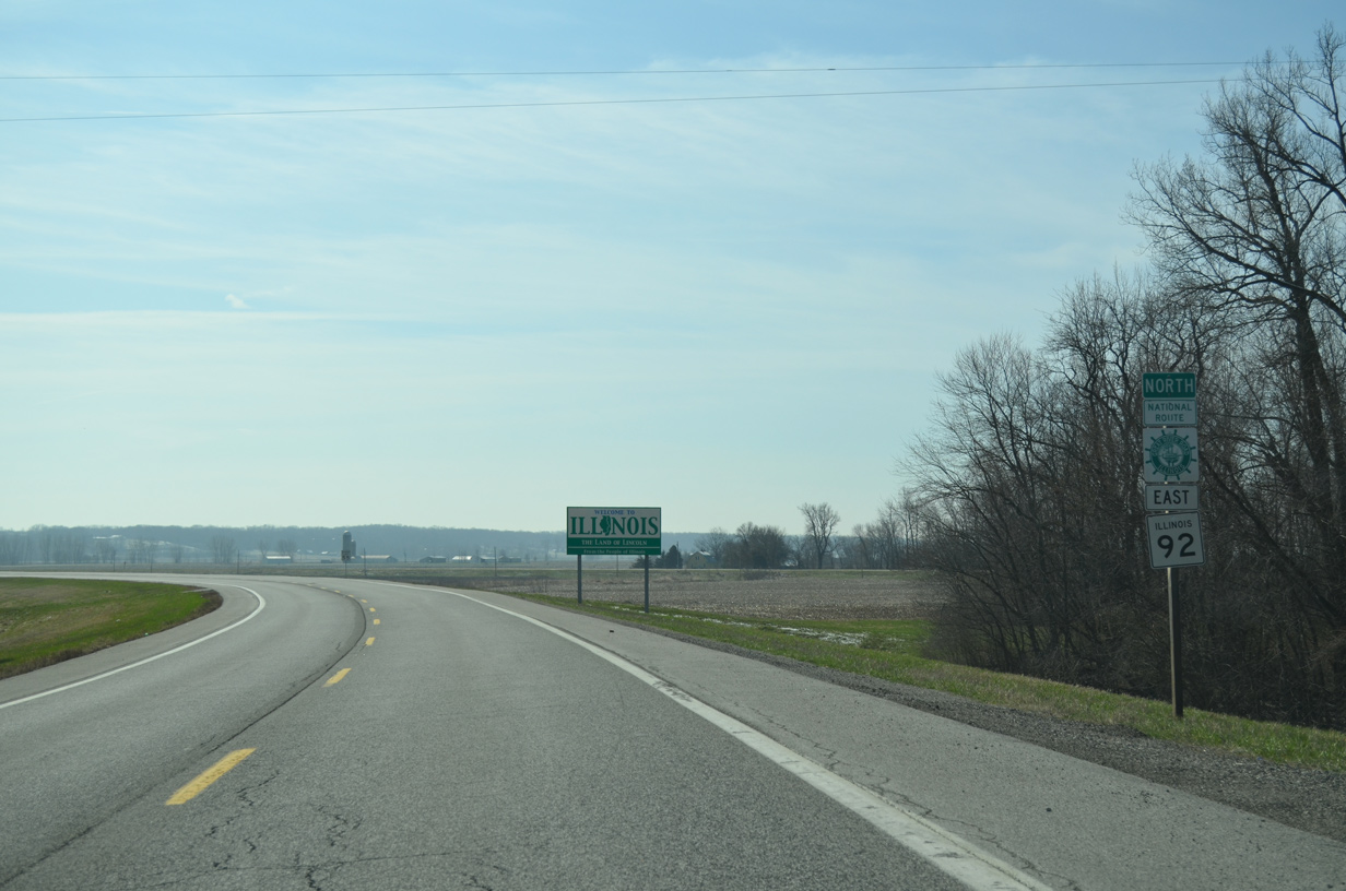
Passing by the Illinois welcome sign along IL 92 east between 102nd Avenue west and the old IL 92 alignment that connected with the former Muscatine High Bridge.
03/25/16
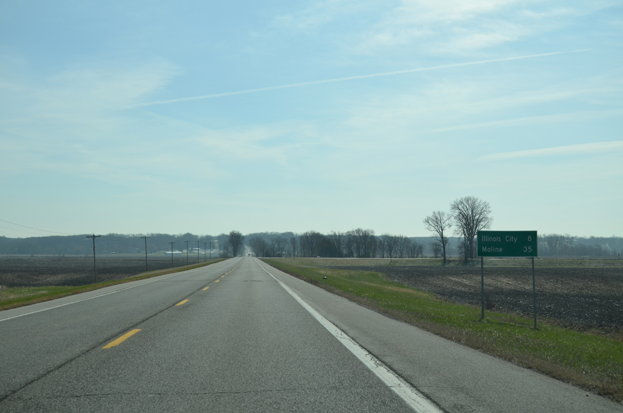
IL 92 climbs on the Mississippi River bluffs on the eight mile drive east to Illinois City. Downtown Moline is 35 miles from the Beckey Bridge.
03/25/16
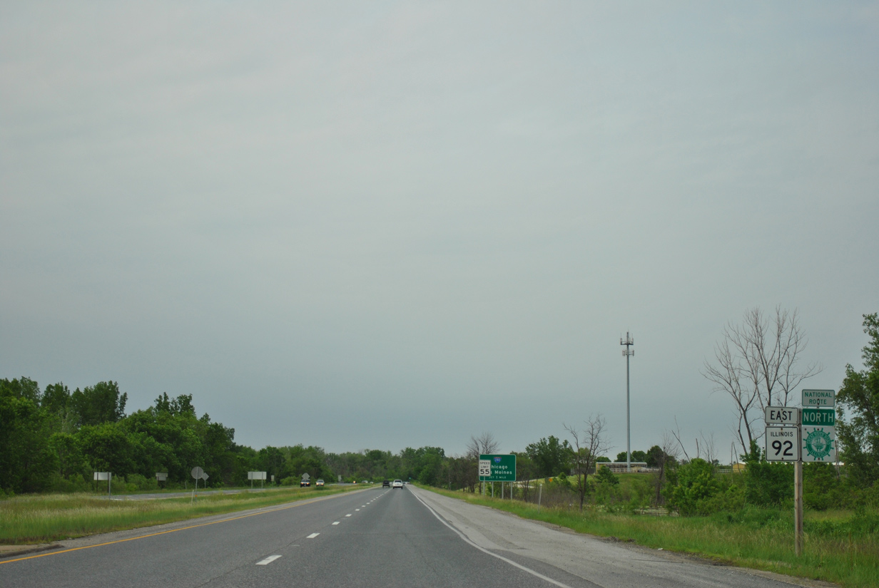
IL 92 turns north from Andalusia Road onto the Centennial Expressway in Southwest Rock Island.
05/29/11

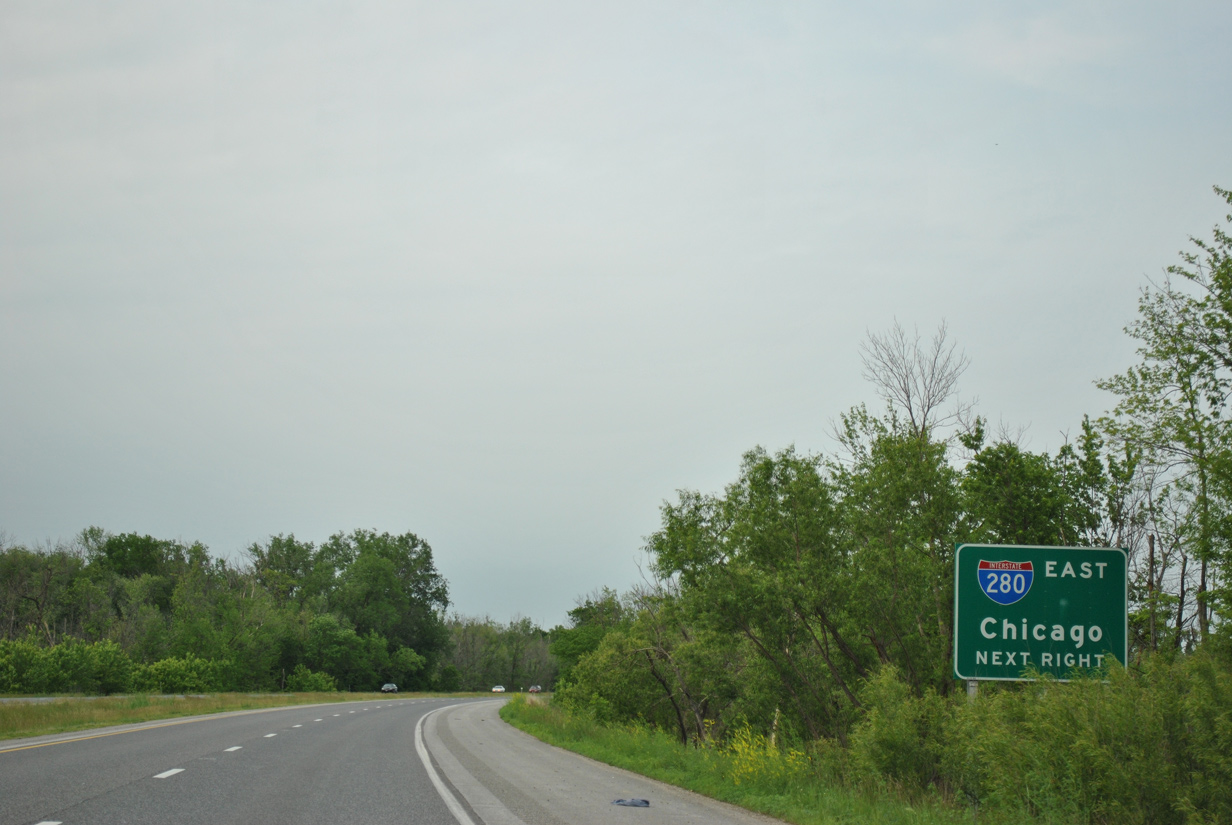
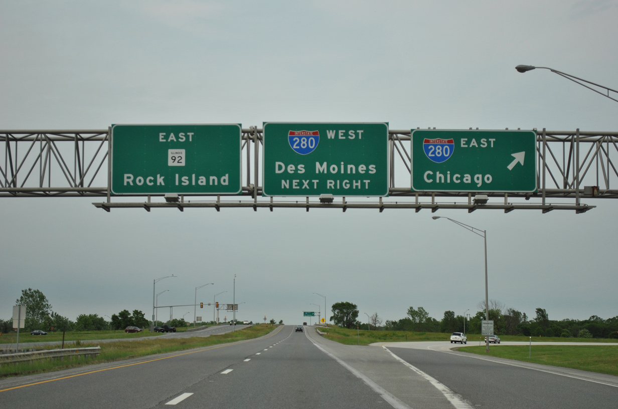
Freeway style guide signs appear for the cloverleaf interchange along IL 92 east with Interstate 280. I-280 encircles the west and south sides of the Quad Cities as one half of the Quad Cities beltway north to Davenport and east to Colona.
05/29/11
IL 92 (Centennial Expressway) crosses Mill Creek onto Big Island ahead of the ramps for Interstate 280. I-280 travels east through Milan and south Moline to directly link with I-80 east to the Chicago area.
05/29/11
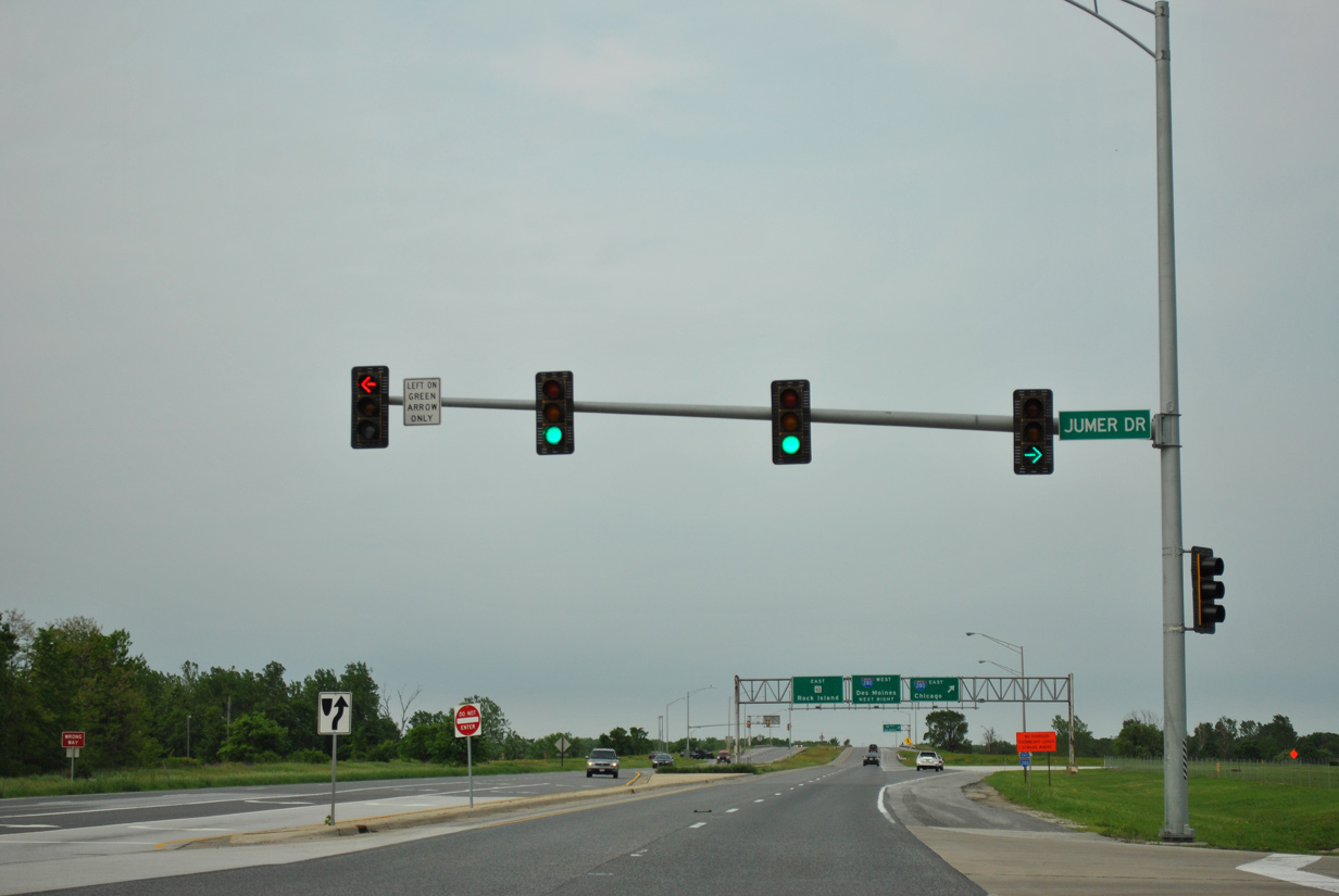
A traffic light was added for Jumer Drive when Jumer's Casino opened on December 1, 2008 within the southeast quadrant of the I-280 and IL 92 junction.
05/29/11
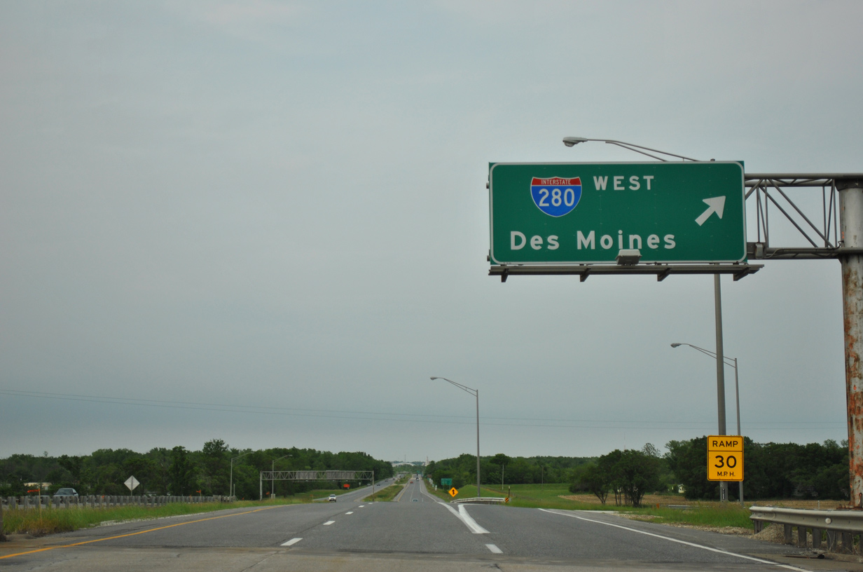
IL 92 upgrades to a freeway beyond Jumer Drive as motorists bound for Moline, Quad City International Airport (MLI) and Chicago depart for I-280 east to I-74 and I-80 east.
This set of signs was replaced by 2013.
05/29/11
Interstate 280 angles northwest from Big Island in Southwest Rock Island to span the Mississippi River through southwest Davenport. I-280 west ends at I-80/U.S. 6-61 in 11.2 miles.
05/29/11

Continuing northeast, IL 92 and the Great River Road travel alongside a levee to the Rock River.
05/29/11

Northward through the west side of Rock Island, IL 92 (Centennial Expressway) has three diamond interchanges over the course of 2.25 miles.
05/29/11
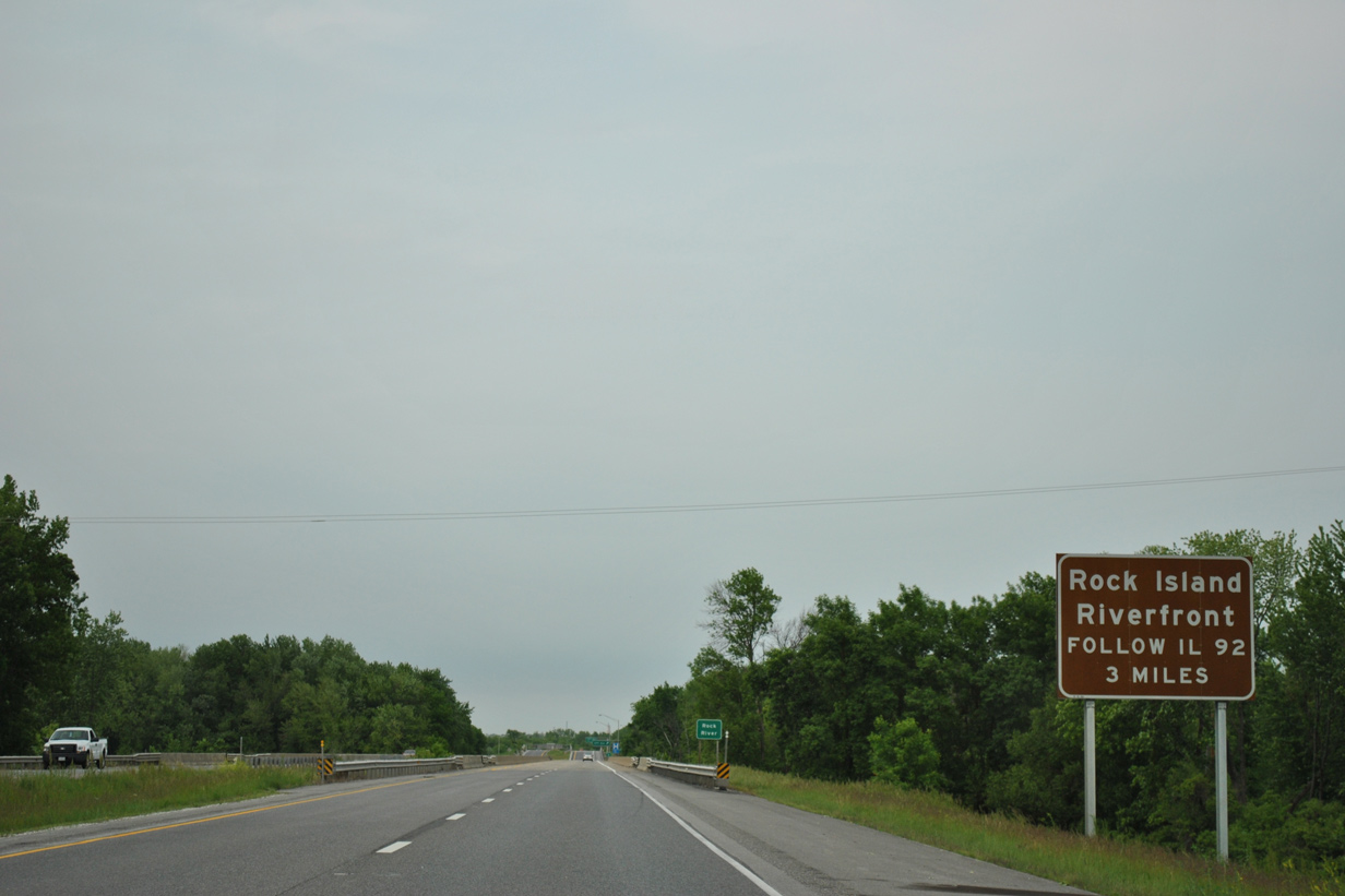
The Centennial Expressway defaults IL 92 east onto 1st Avenue through the Rock Island Riverfront area in three miles.
05/29/11
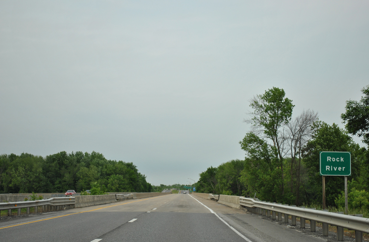
IL 92 crosses the Rock River just west of Turkey Island and east of the Mississippi River. The Rock River flows 299 miles southwest from Fond do Lac County in Wisconsin through Rockford to the Quad Cities.
05/29/11
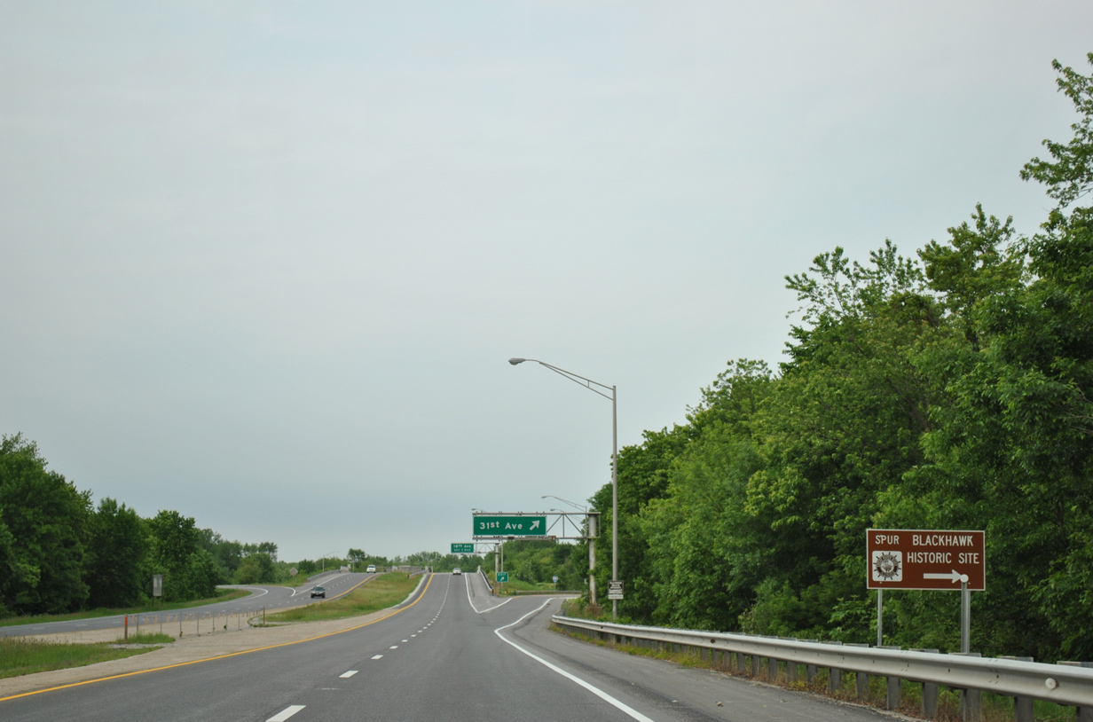
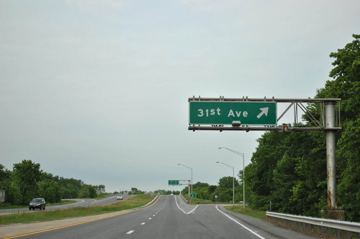
Forthcoming 31st Avenue connects IL 92 with adjacent Sunset Park at Lake Potter via a Spur of the Great River Road to the west. 31st Avenue east to U.S. 67 (11th Street) south to IL 5 (Blackhawk Road) east leads motorists to the Black Hawk State Historic Site.
05/29/11
31st Street heads east from the Centennial Expressway through an industrial area along the Iowa Interstate Railroad. The street emerges from there to intersect U.S. 67 en route to 38th Street at the Saukie Golf Course.
05/29/11
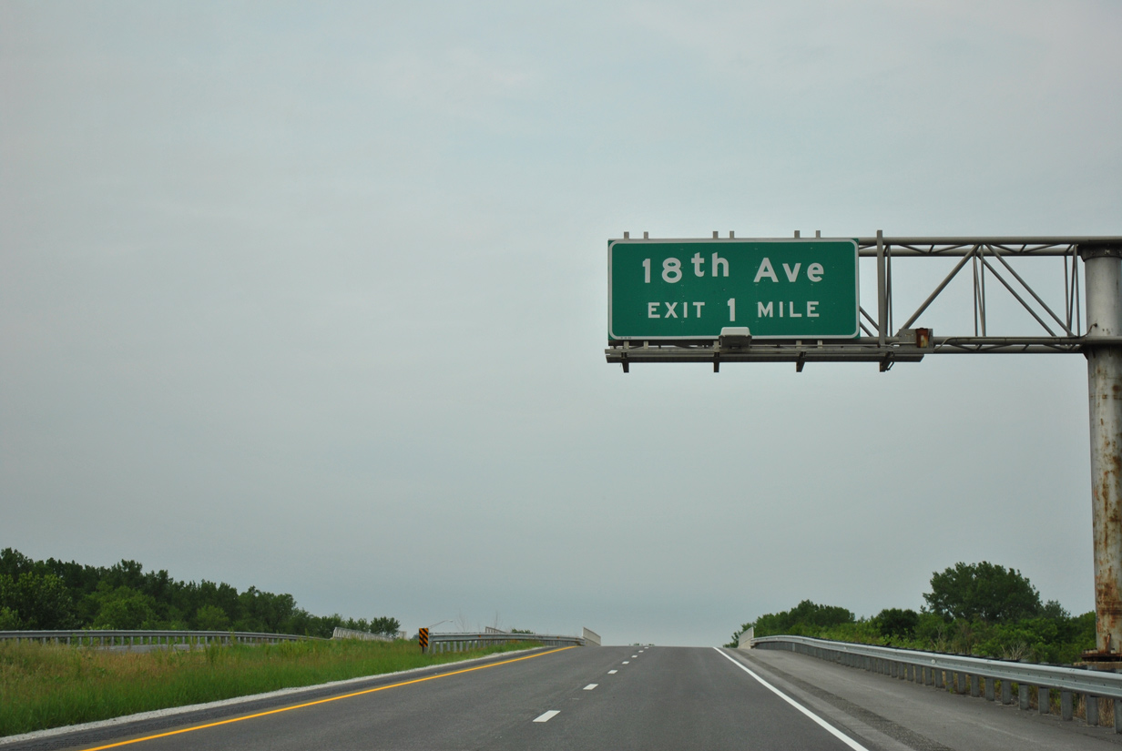
18th Avenue converges with IL 92 (Centennial Expressway) in one mile between Sunset Park and the Rock Island street grid.
05/29/11
Two miles remain before IL 92 reaches the Centennial Bridge north into Davenport, Iowa.
05/29/11
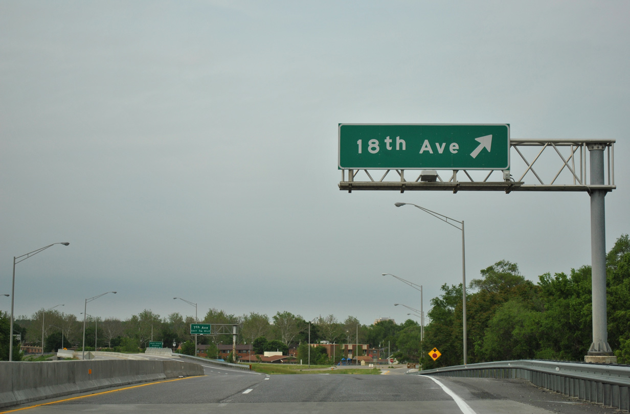
Northbound at the off-ramp for 18th Avenue west to Lake Potter and east to Longview Park and the city of Moline.
05/29/11
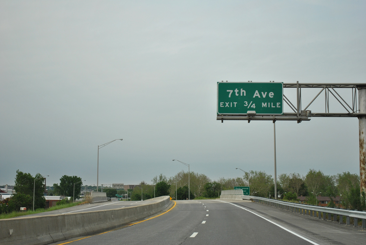
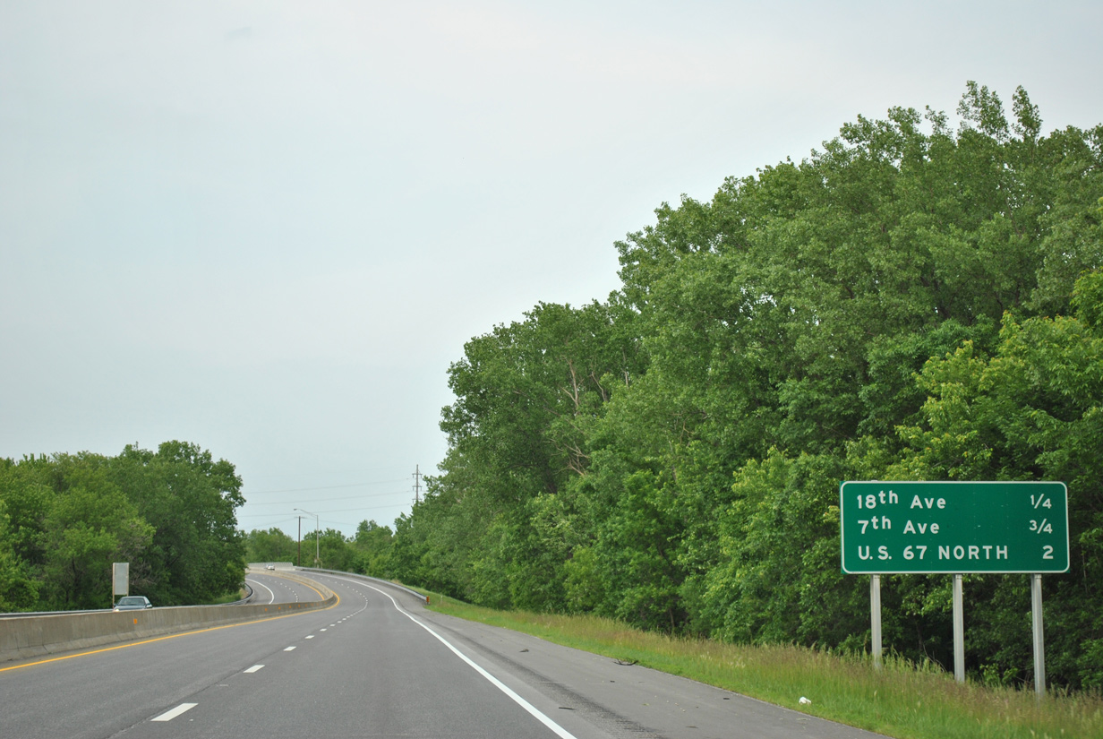
The Centennial Expressway separates the industrial area along the Mississippi River from the residential street grid northward to 7th Avenue.
05/29/11
7th Avenue extends 6th Avenue east from the Mississippi River to the south end of the Rock Island central business district.
05/29/11
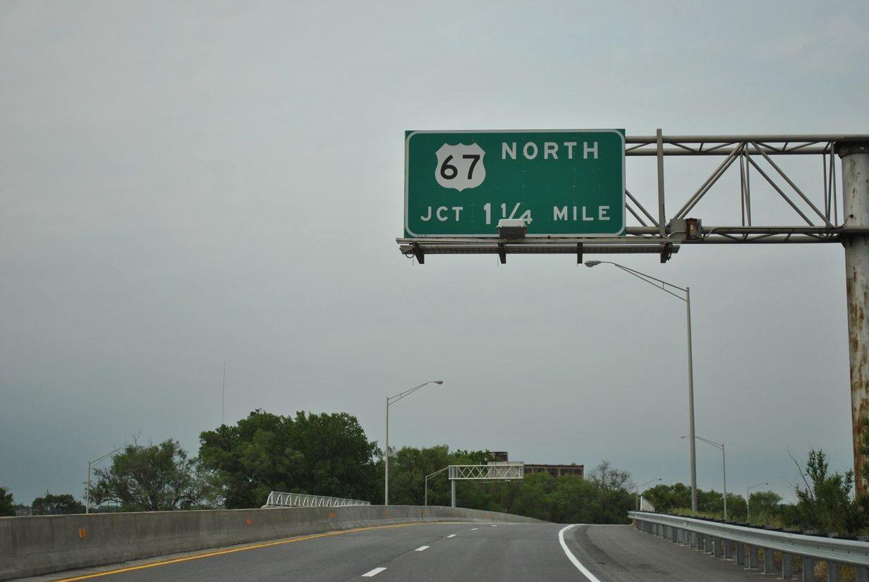
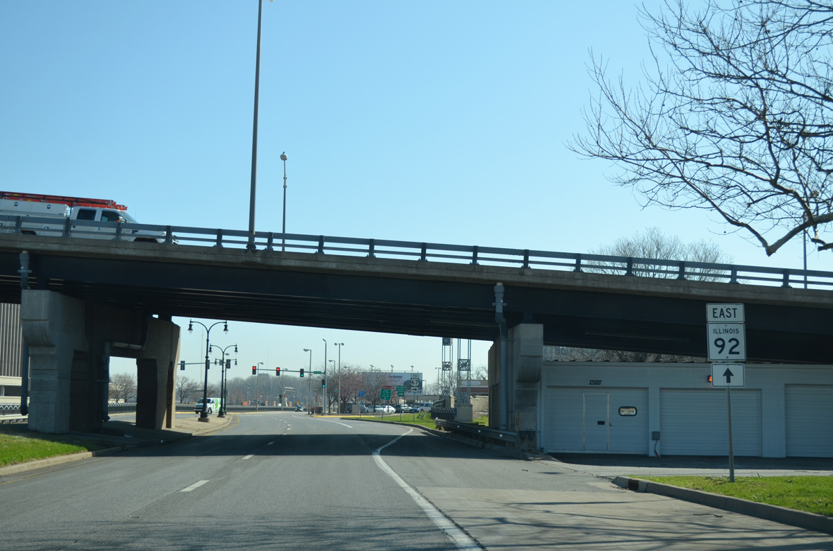
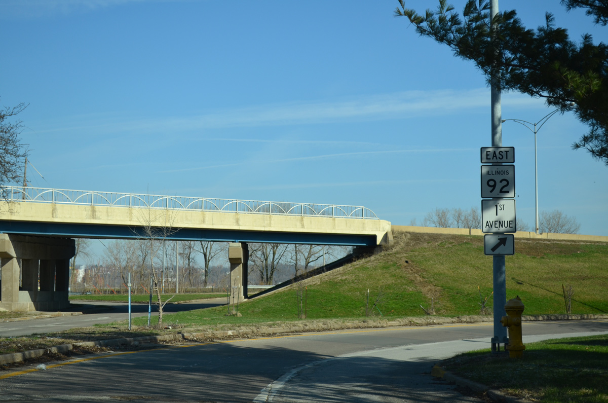
A folded diamond interchange with 16th Street and 2nd Avenue ties IL 92 with the south end of the Centennial Bridge (U.S. 67) in 1.25 miles. U.S. 67 spans the Mississippi River to the Davenport Riverfront from Downtown Rock Island.
05/29/11
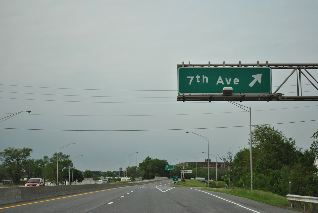
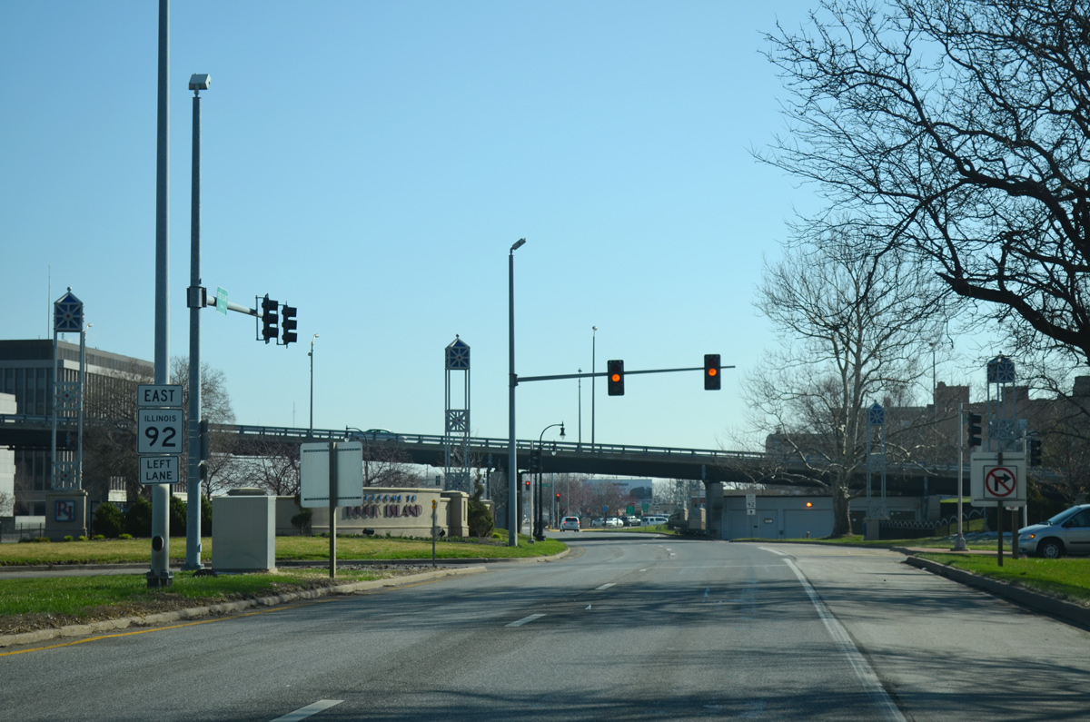
IL 92 reassurance marker posted at the 7th Street underpass. The state route remains a Great River Road to IL 84 at East Moline.
05/29/11
A wye interchange connects 11th Street north with IL 92 east ahead of 1st Avenue and the Centennial Bridge (U.S. 67).
05/29/11
03/25/16
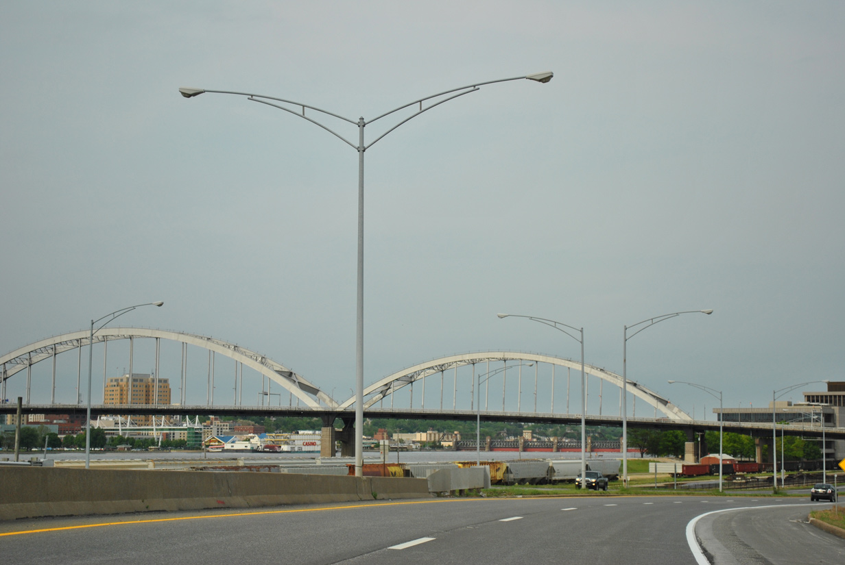
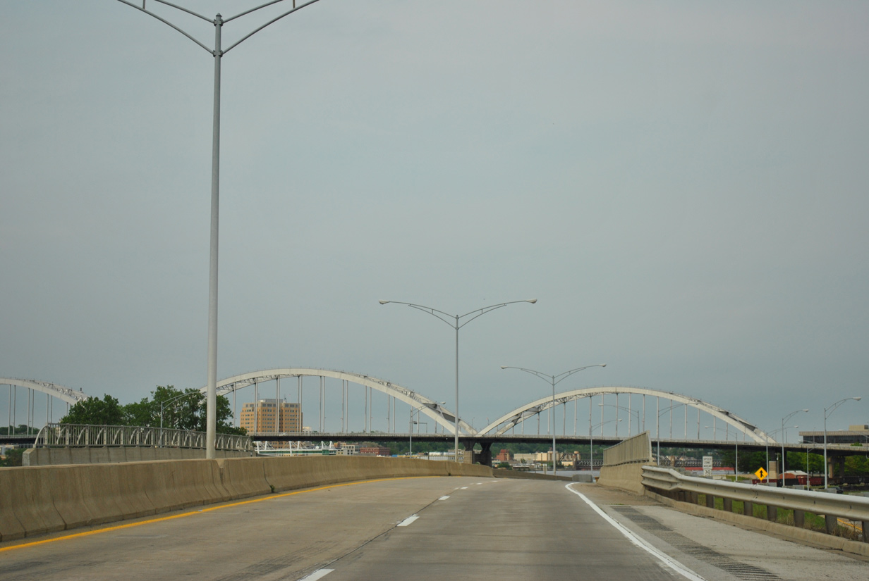
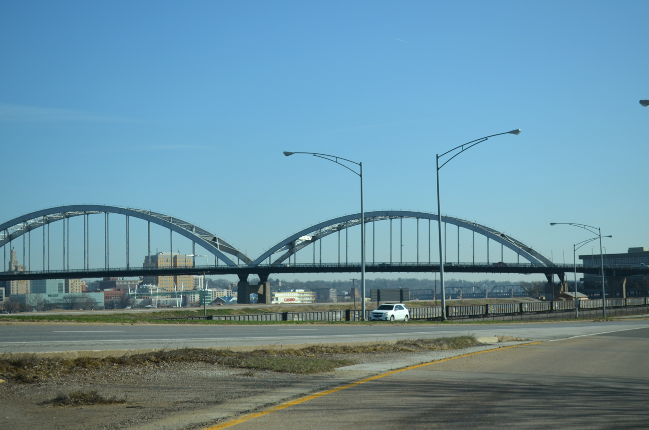
The Centennial Bridge spans an Iowa Interstate Railroad yard before crossing the Mississippi River. The 1940-opened bridge features five steel arches as it carries four lanes of U.S. 67.
05/29/11
03/25/16
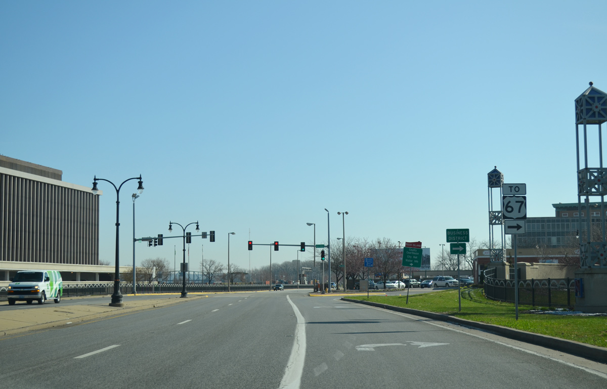
A traffic light at the end of the U.S. 67 southbound ramps for IL 92 concludes the Centennial Expressway.
03/25/16
IL 92 transitions to 1st Avenue through the Rock Island Riverfront. The state route has a loop ramp onto the Centennial Bridge north at 16th Street.
03/25/16
16th Street provides access to 3rd Avenue west to the County Courthouse and Rock Island City Hall. U.S. 67 travels one block to the west along 15th Street.
03/25/16
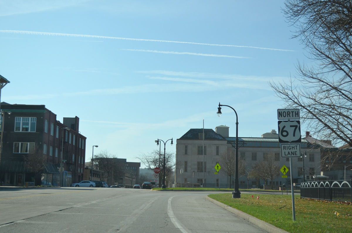
Turning south onto 16th Street, traffic partitions into the loop ramp for U.S. 67 north to Iowa. U.S. 67 parallels the Mississippi River east from Downtown Davenport to Downtown Bettendorf. The route south connects Rock Island with Milan.
03/25/16
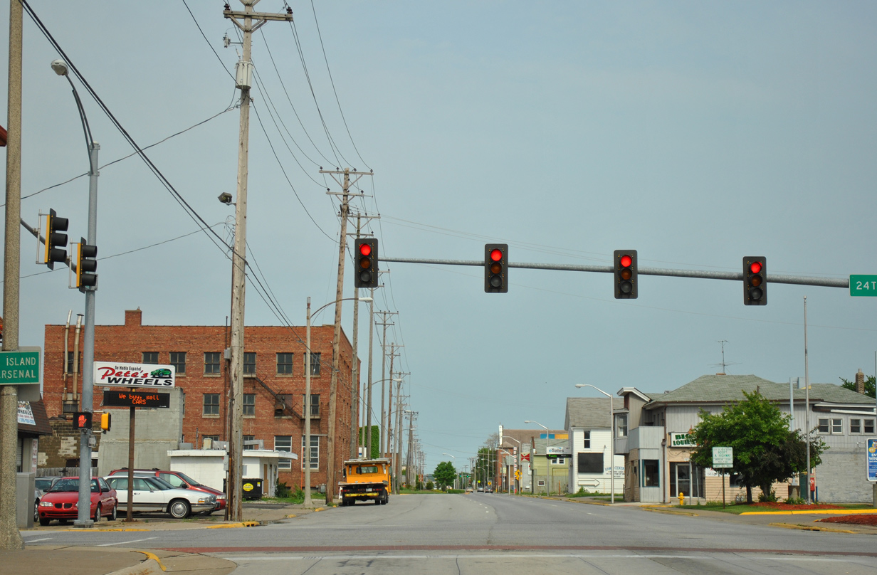
5th Avenue exits Downtown Rock Island to become a part of IL 92 east of 24th Street
05/29/11
Photo Credits:
- Alex Nitzman, Bill Gatchel: 03/25/16
- ABRoads: 05/29/11
Connect with:
Page Updated Friday May 18, 2018.