
State Road 1 South - Jay & Randolph Counties

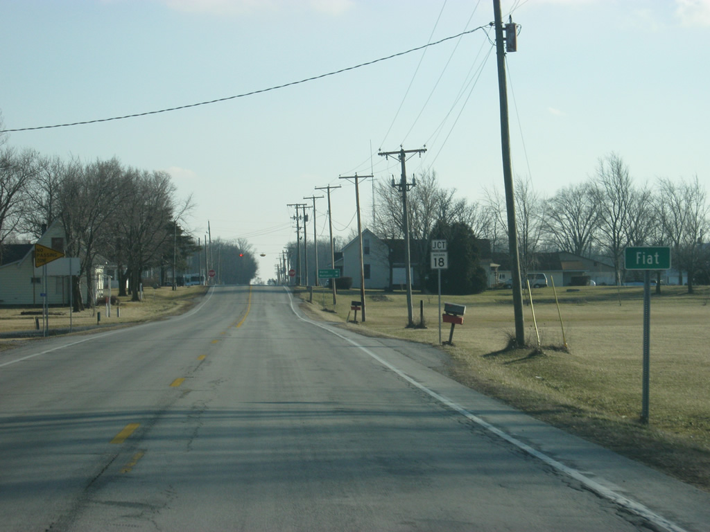
Into Jay County, SR 1 enters the town of Fiat near the junction with SR 18. SR 18 goes for 141 miles from the Illinois border to U.S. 27 in Bryant. The highway goes through Fowler, Delphi, Galveston, Converse, Marion and Montpelier along its route.
02/06/12
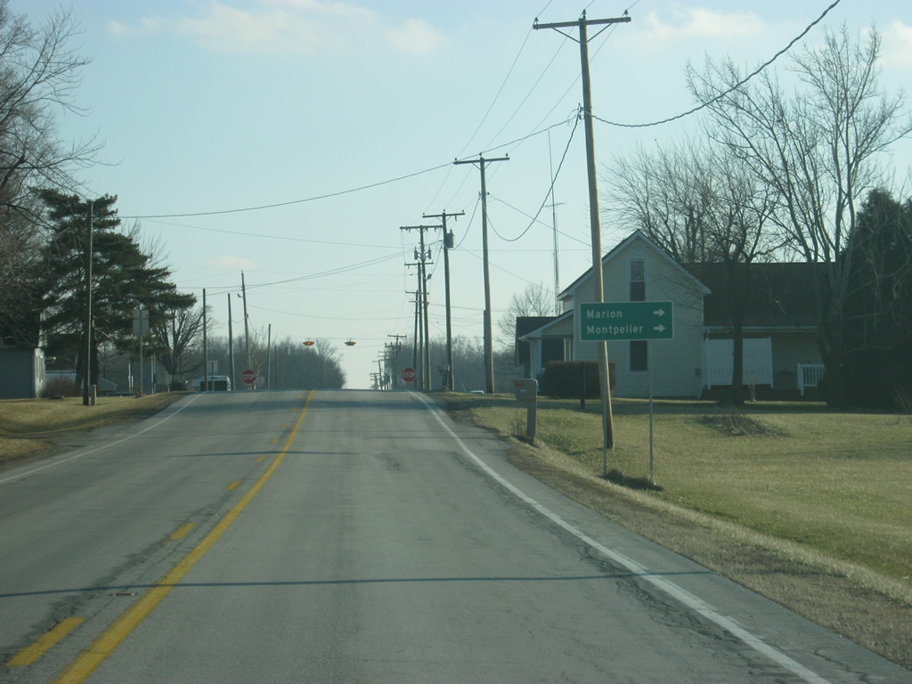
Along SR 18, the Blackford County town of Montpelier is six miles away while the Grant County seat of Marion is 28 miles to the west. Bryant, at U.S. 27 is ten miles to the east.
02/06/12
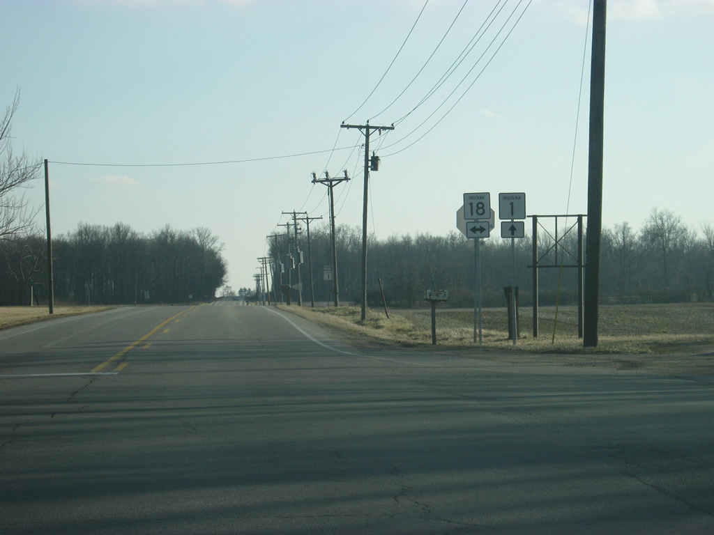
Now at the junction with SR 1 and SR 18 in Fiat.
02/06/12
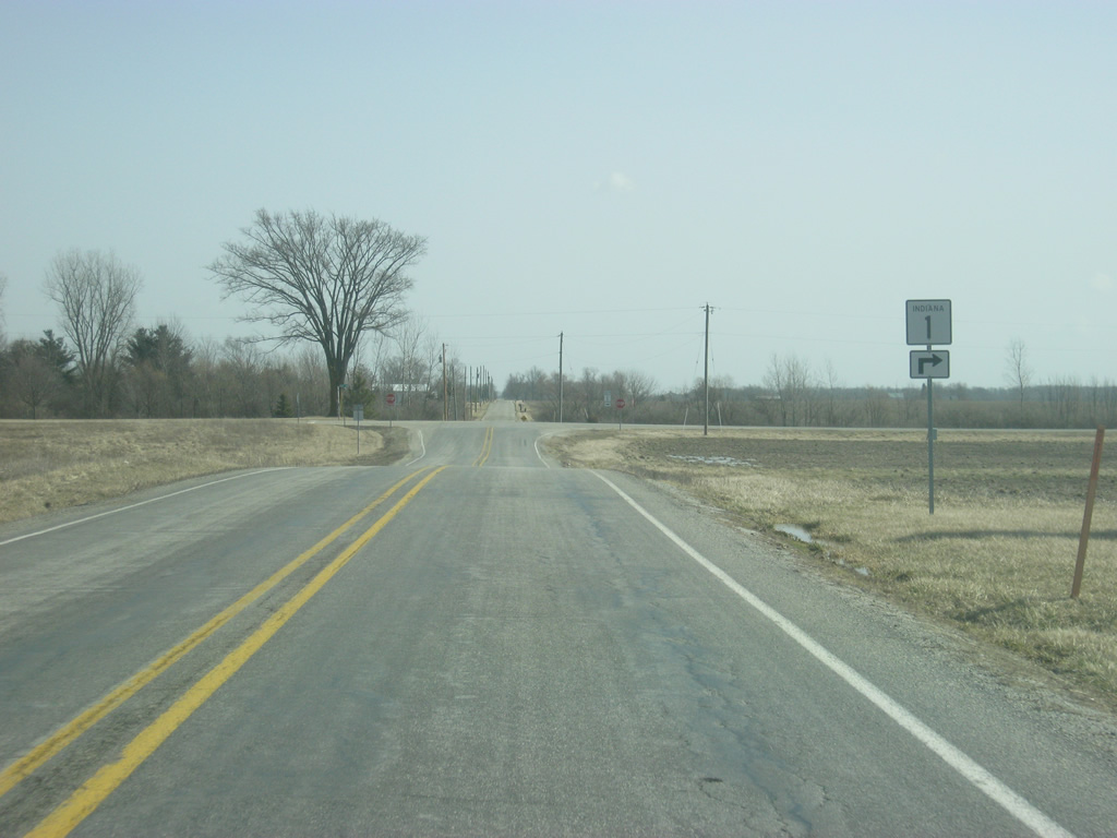
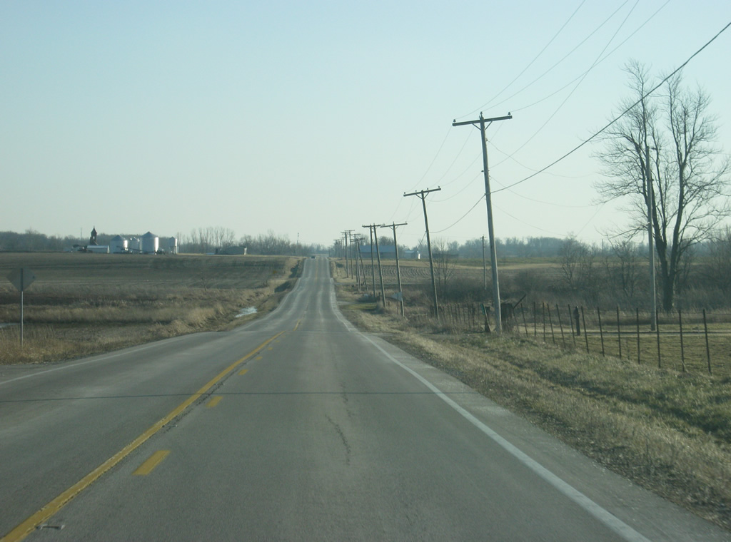
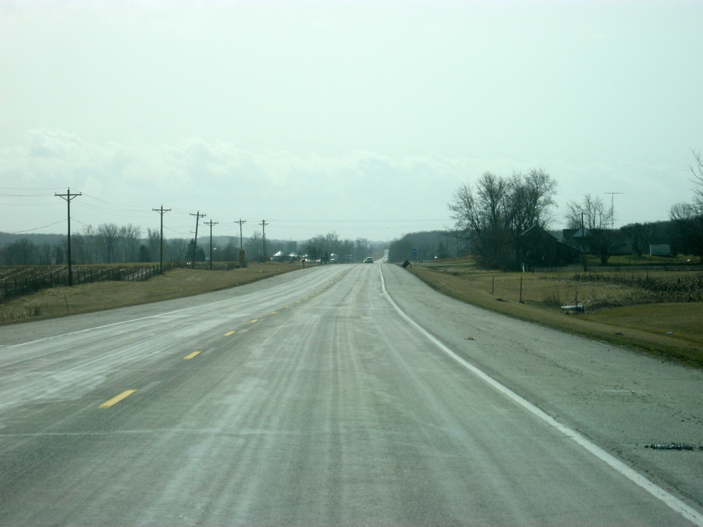
A view of SR 1 to the south of Fiat. In the second photo, SR 1 passes through another small town, Balbec.
02/06/12
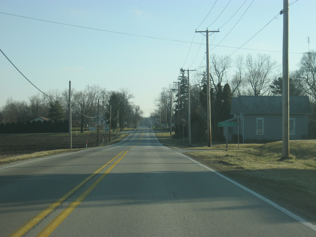
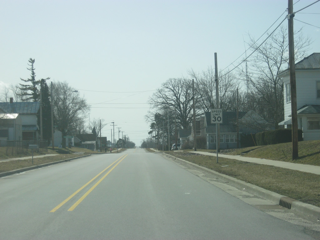
SR 1 passes through what is the largest community between Bluffton and Redkey, Pennville.
02/06/12

Crossing Pleasant Street in the community of Pennville.
02/06/12
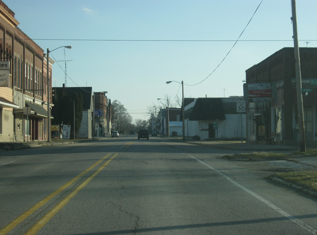
SR 1 enters downtown Pennville.
02/06/12
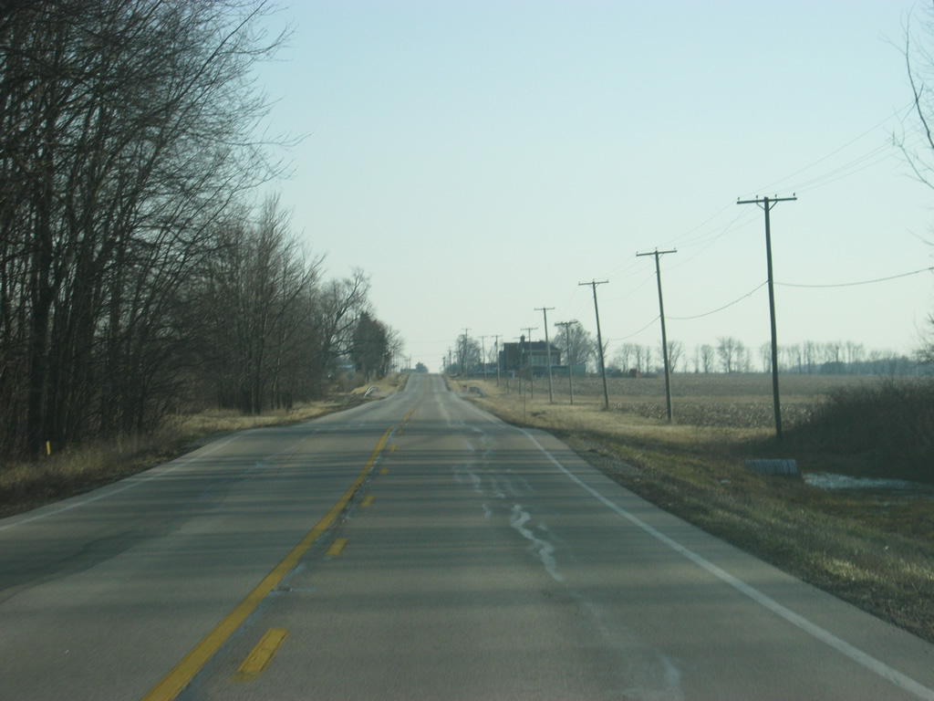
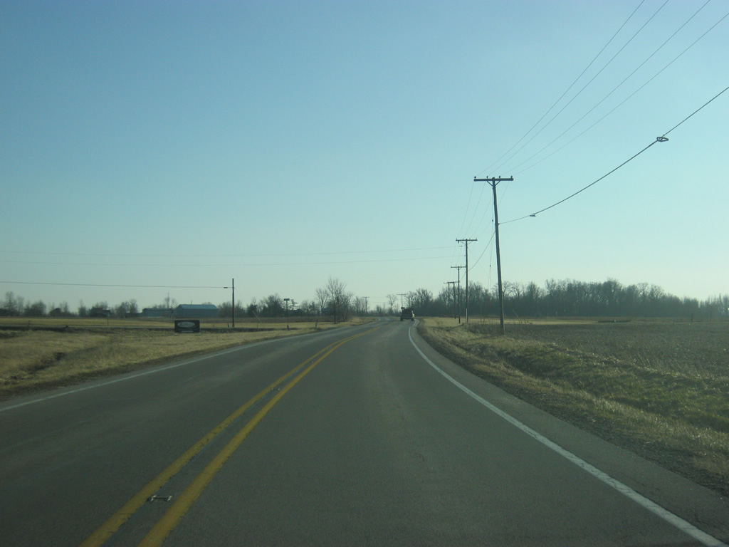
A view of SR 1 to the south of Pennville.
02/06/12
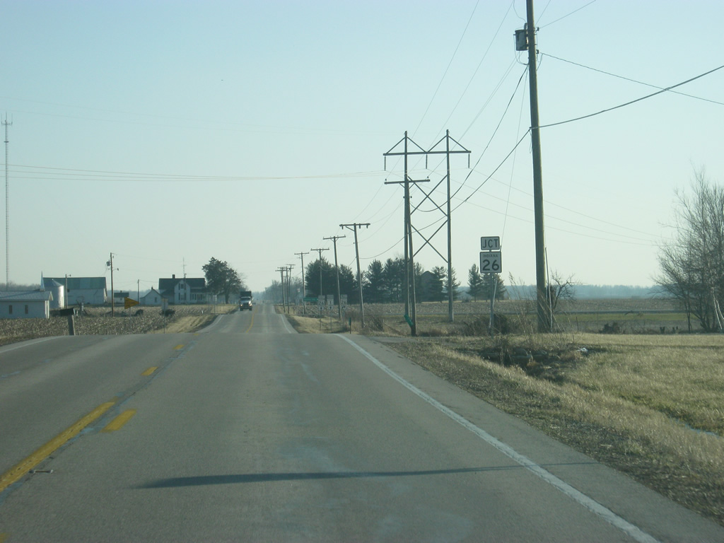
SR 1 now comes up to the junction with SR 26 west. SR 26 goes for 150 miles across the state from the Illinois state line east through Lafayette, Rossville, Fairmount, Upland and Portland before crossing into Ohio near Fort Recovery.
02/06/12
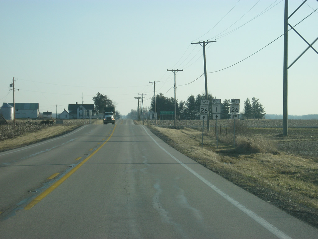
SR 26 east will follow SR 1 for a half mile multiplex as part of its longer east-west path across Indiana.
02/06/12
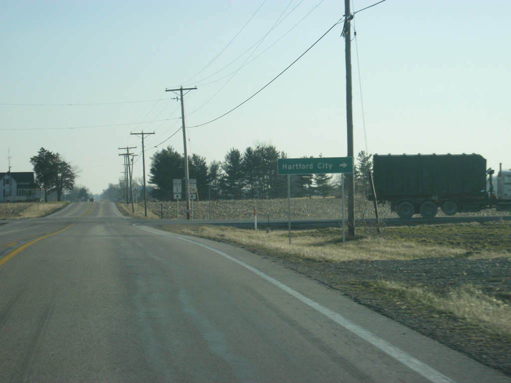
The Blackford County seat of Hartford City is about twelve miles to the west along SR 26 west.
02/06/12
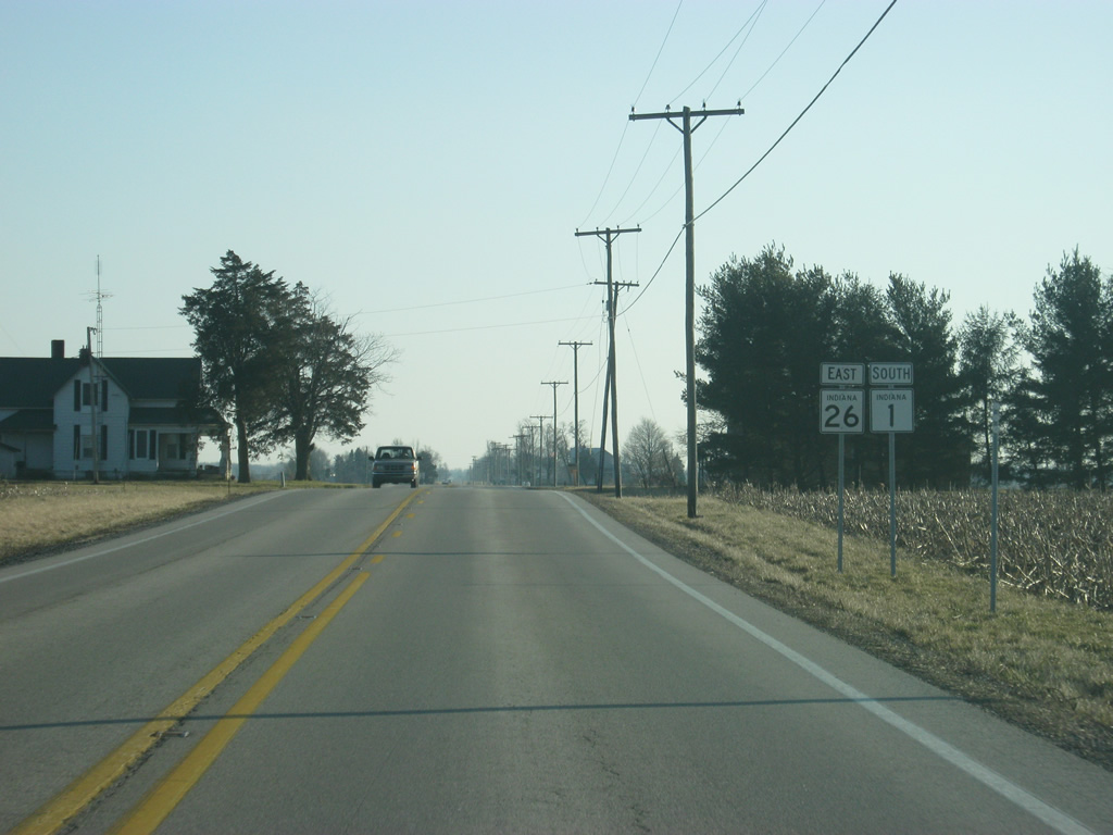
A view of SR 1 and SR 26 shields on the half mile multiplex of the two highways.
02/06/12
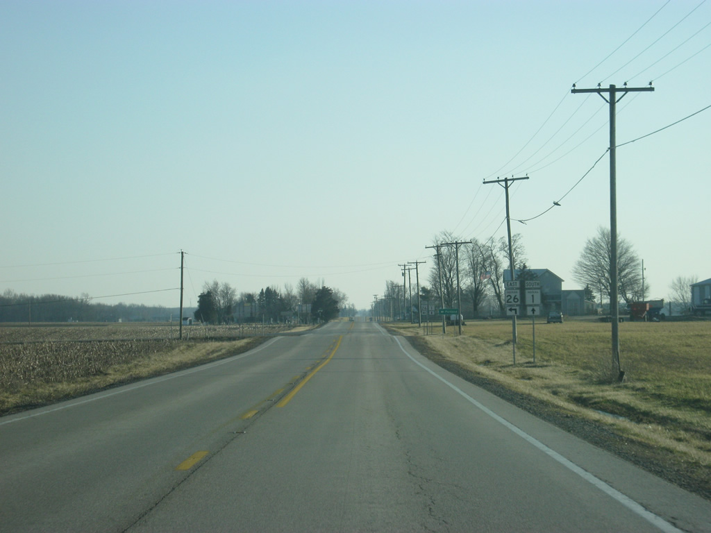
Now approaching the point where SR 26 will break off toward the east.
02/06/12
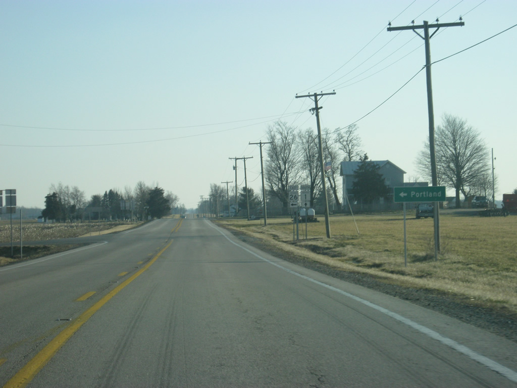
SR 26 heads east for its eight mile trip to the Jay County seat of Portland.
02/06/12
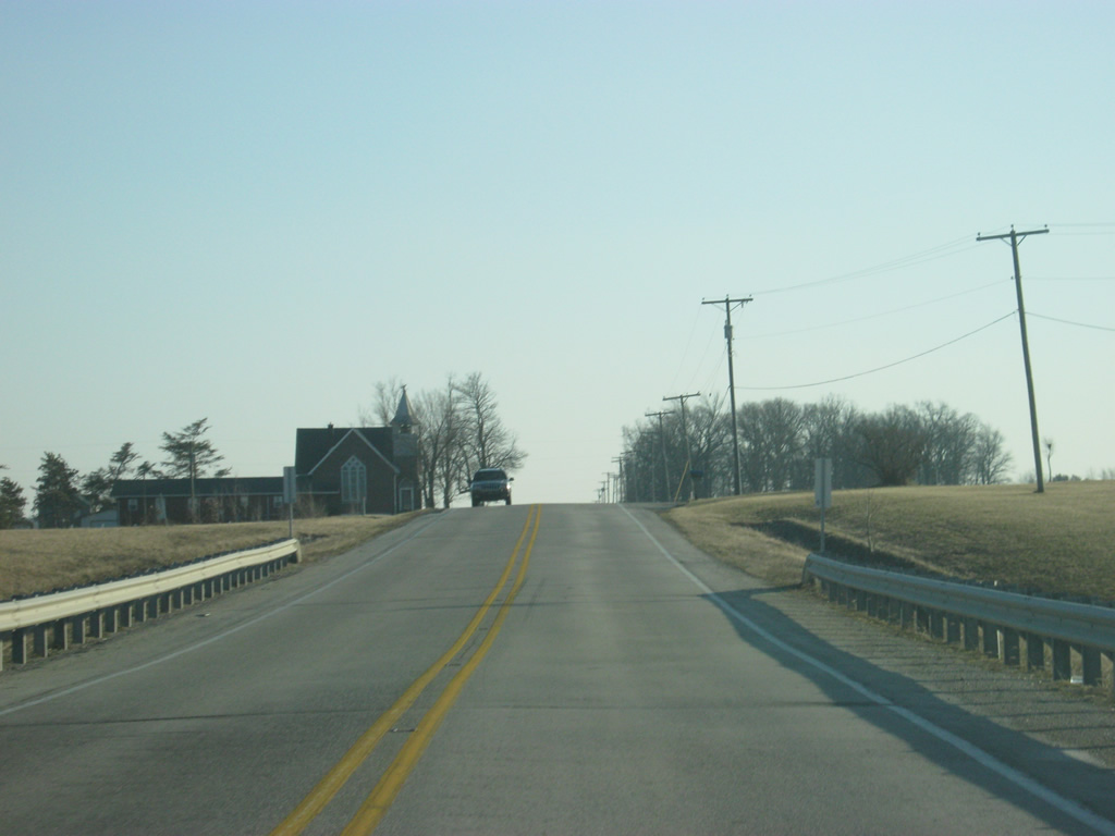
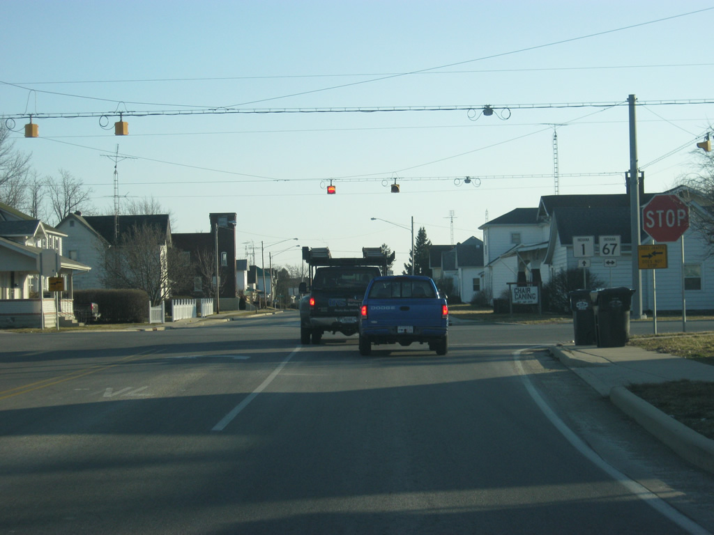
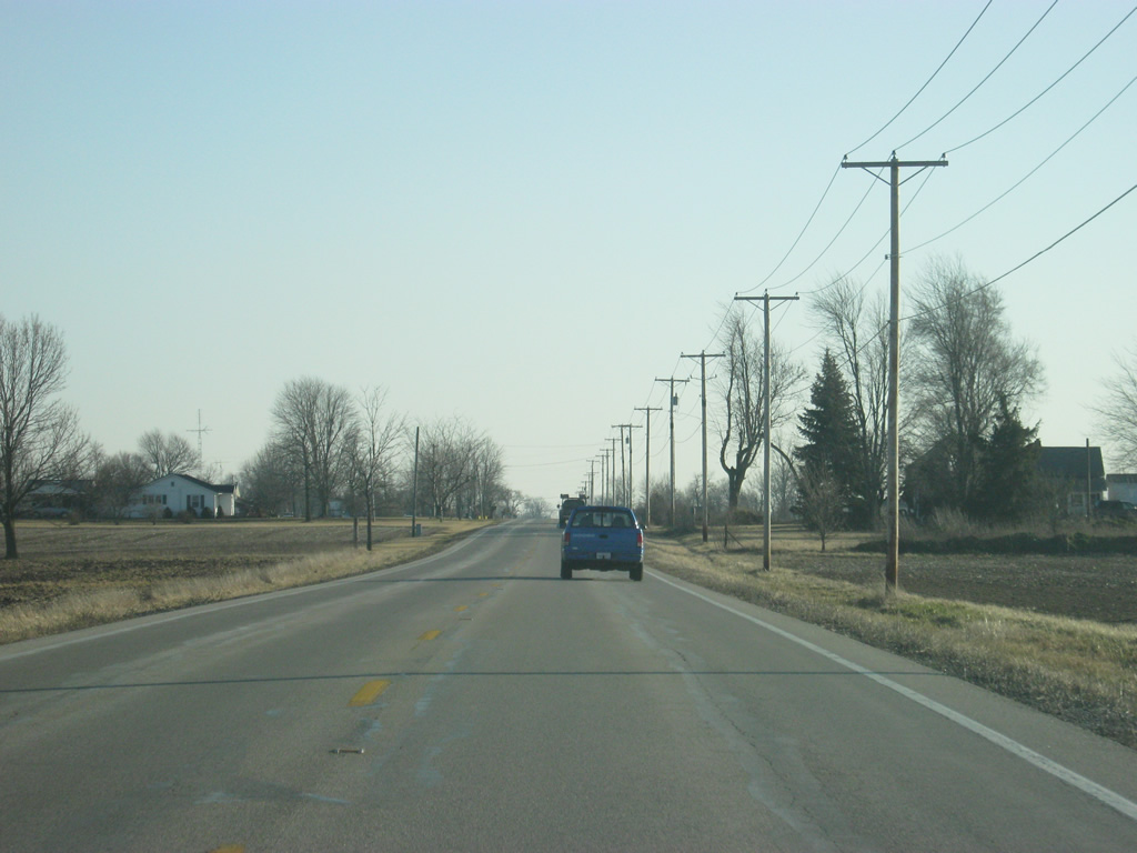
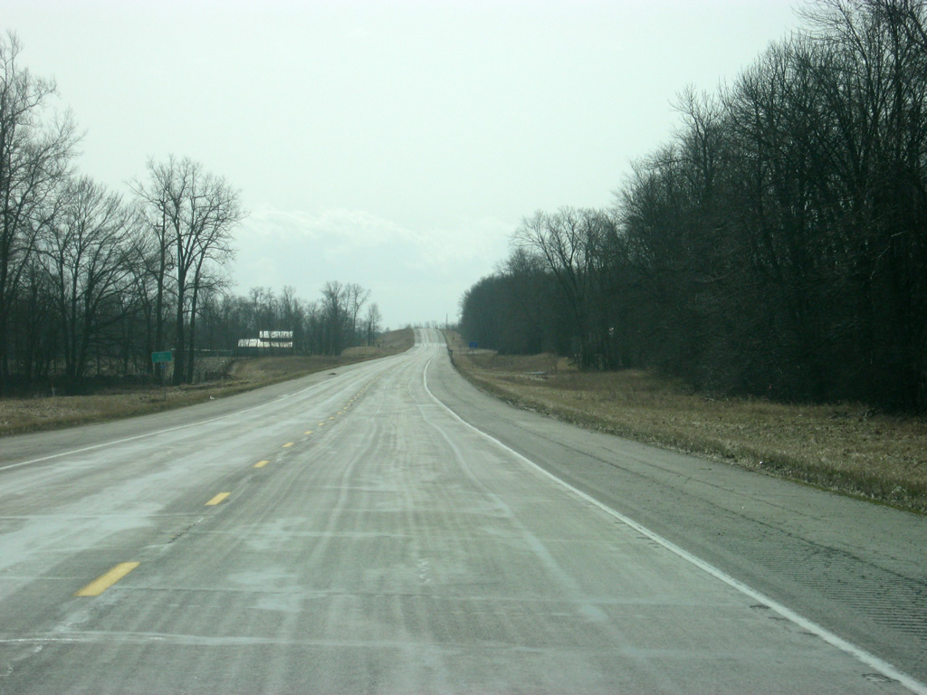
More familiar scenes of SR 1 south of the junction with SR 26 east. It is only six miles from SR 26 east to the town of Redkey and the junction with SR 67.
02/06/12
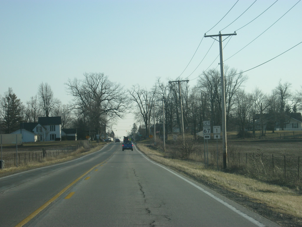
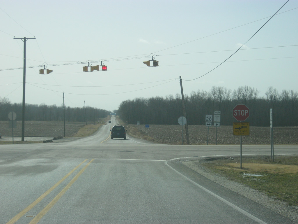
SR 1 approaches the intersection with SR 67. SR 67 travels for 199 miles from Vincennes to the southwest north through Indianapolis and Muncie before ending at the Ohio border near Bryant.
02/06/12
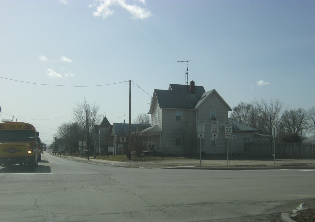
SR 1 enters the town of Redkey (population 1,427) near the junction with SR 67.
02/06/12
SR 1 traffic must stop at the intersection with SR 67; while SR 67 cross-traffic does not stop. The Delaware County seat of Muncie is about 12 miles to the southwest along SR 67 while Portland is about ten miles to the northeast.
02/06/12

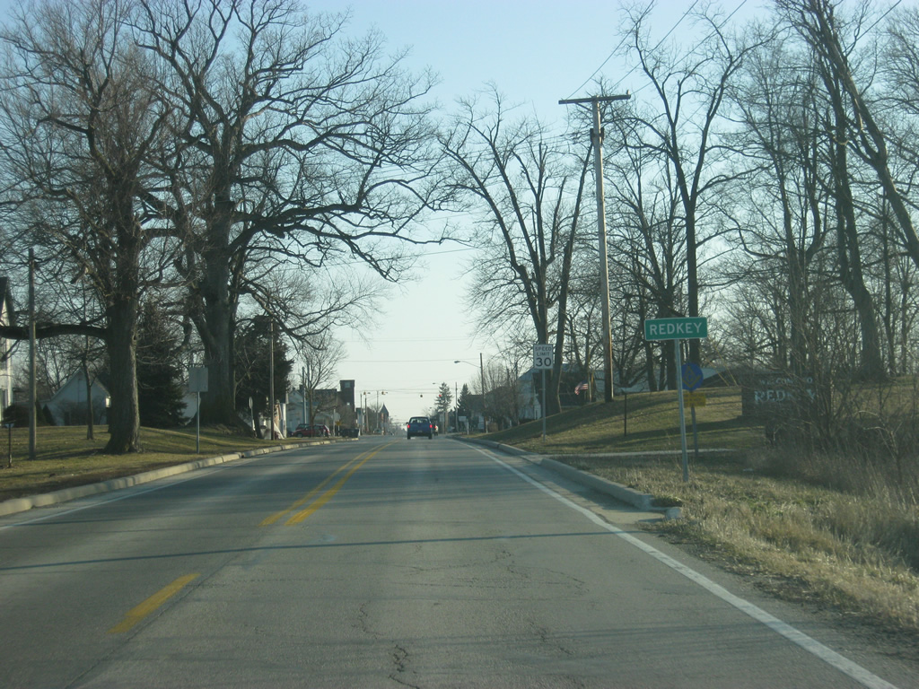
An SR 1 shield greets motorists to the south of SR 67 in the town of Redkey.
11/15/10
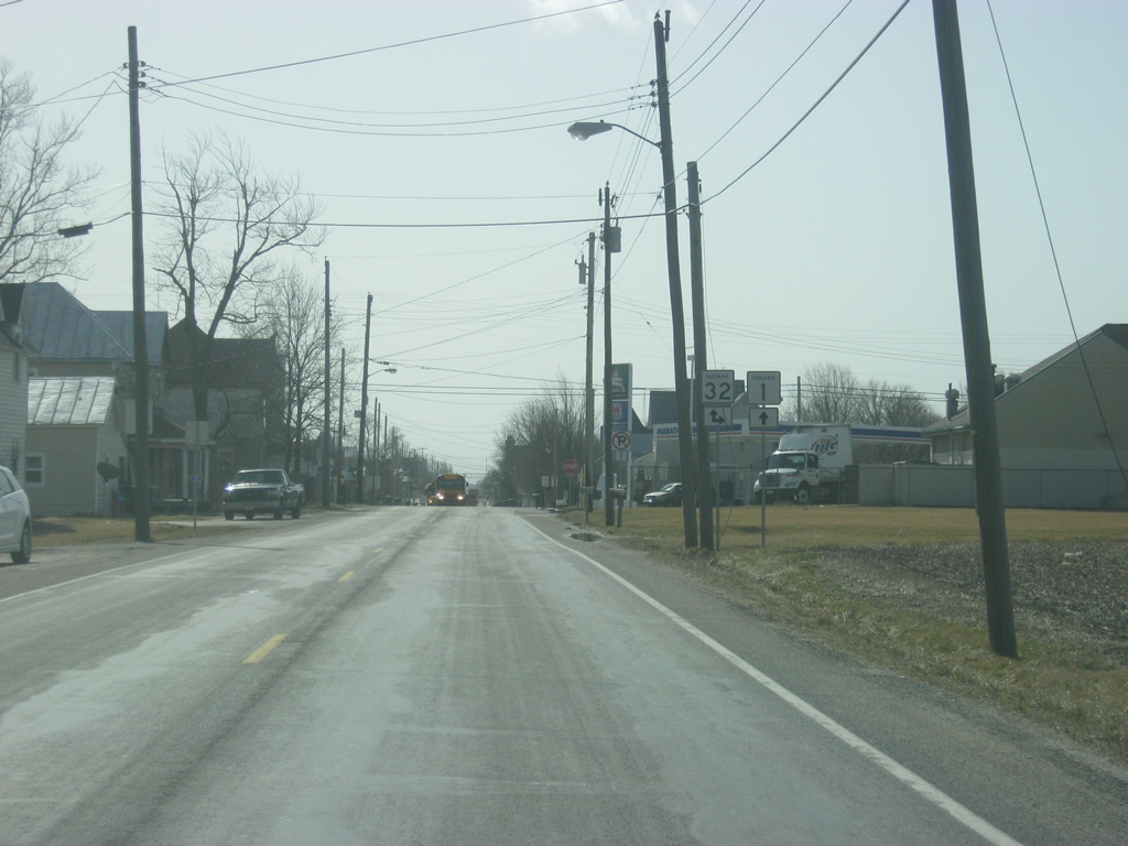
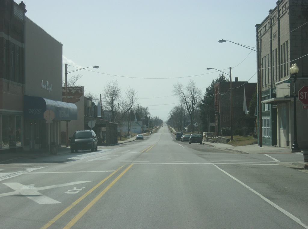
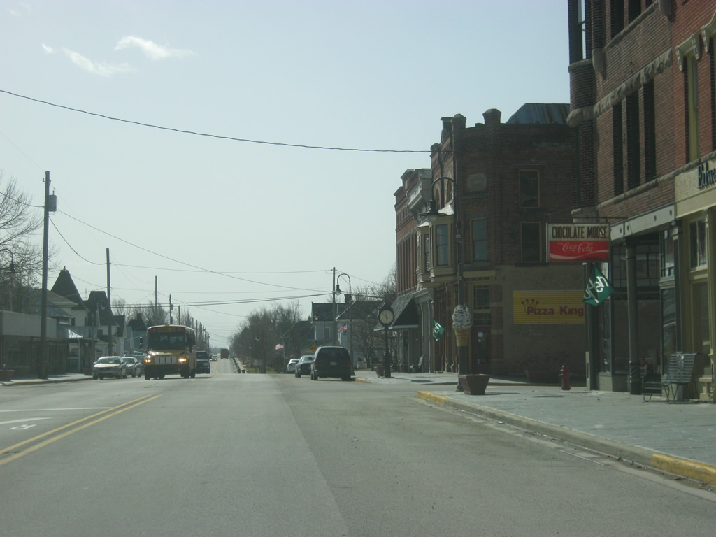
SR 1 (Meridian Street) goes through the heart of the small town of Redkey, passing by the only four-way stop in town at Main Street (County Road 600 South). The highway was rebuilt through Redkey (as state highways were in many towns during the Major Moves program) in the late 2000s.
11/15/10
South of Redkey, it is a 12 mile drive to the next community of Farmland.
11/15/10
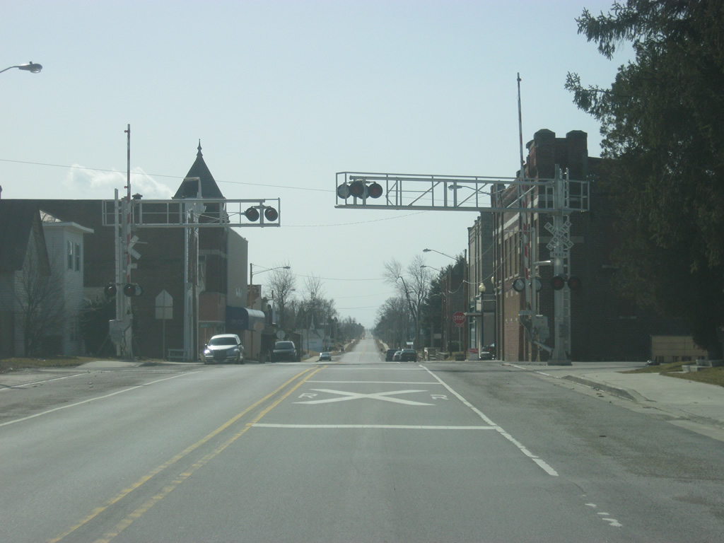
Three miles south of Redkey, SR 1 crosses over into Randolph County (population 26,171).
11/15/10
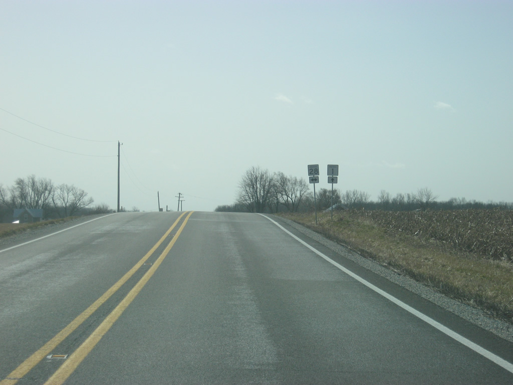
South of the county line, SR 1 nears the intersection with SR 28. SR 28 is a 153 mile highway that stretches across the state from Illinois to Ohio. The highway goes through Attica, Frankfort, Tipton, Elwood and Alexandria to the west and through Albany and Union City to the east. SR 28 does not have to stop for SR 1 at the crossing between the two highways.
11/15/10
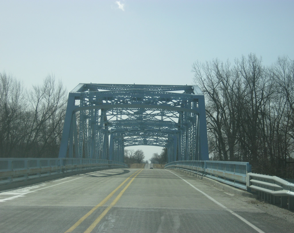
SR 1 crosses a through truss bridge over the Mississinewa River. The bridge was first built in 1941 and was rehabilitated in 1979 and 2008.
11/15/10

Passing by the intersection with County Road 700 North, which leads to the town of Brinckley one mile away to the east.
11/15/10
A couple of miles north of Farmland, SR 1 turns off of County Road 900 West to follow County Road 400 North one mile to the east. The shift in SR 1's routing was made necessary in order to route the highway through Farmland. The four-way intersection with both county roads is marked by a four-way stop.
11/15/10
A view of SR 1 following County Road 400 North toward the east.
11/15/10
Approaching the intersection with County Road 800 West, where SR 1 will make a turn to the right in order to follow the county road's routing into Farmland. County Road 400 North continues to the east across rural Randolph County.
11/15/10
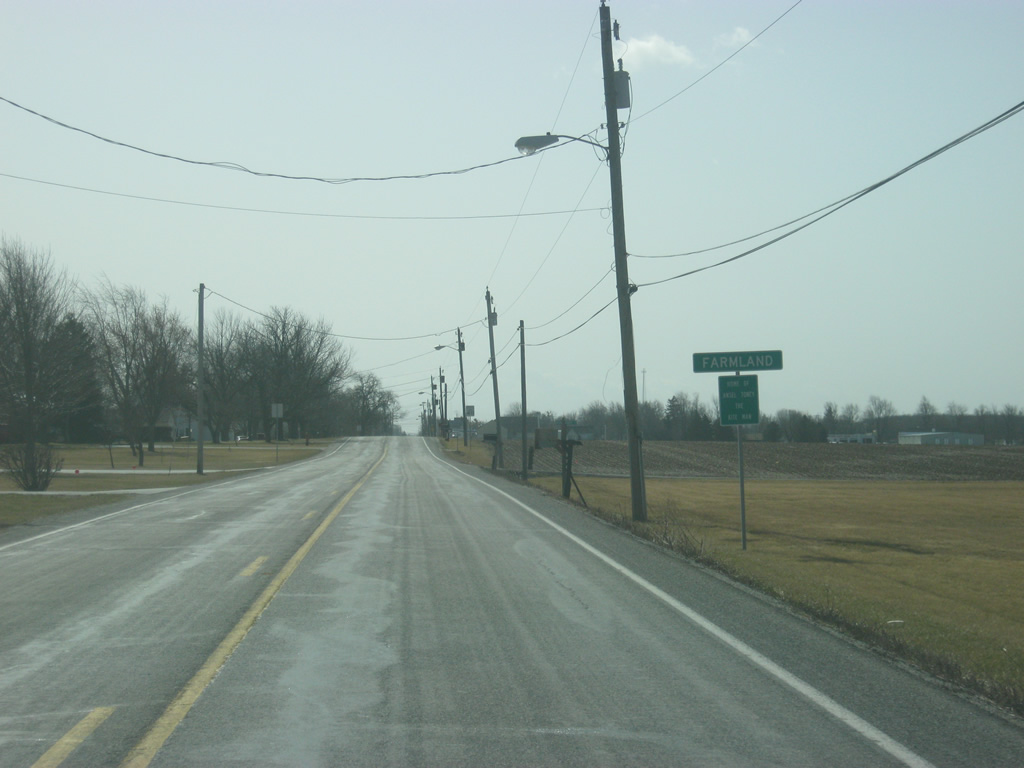
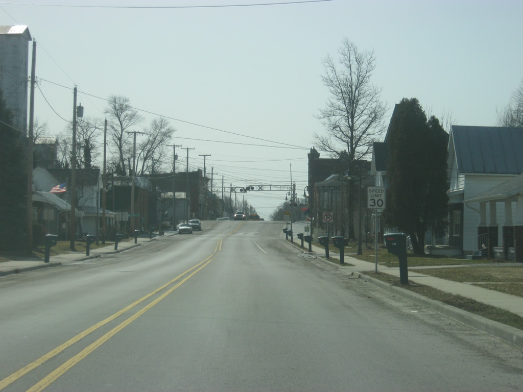
Heading south once again, SR 1 enters the Randolph County town of Farmland (population 1,333).
11/15/10
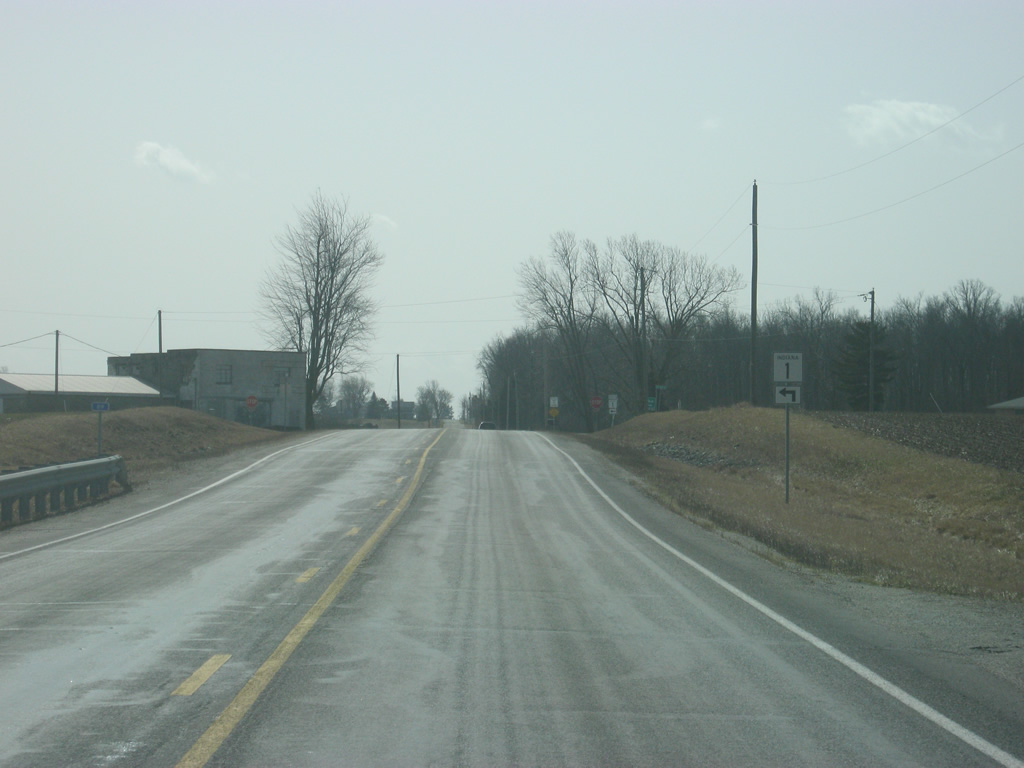
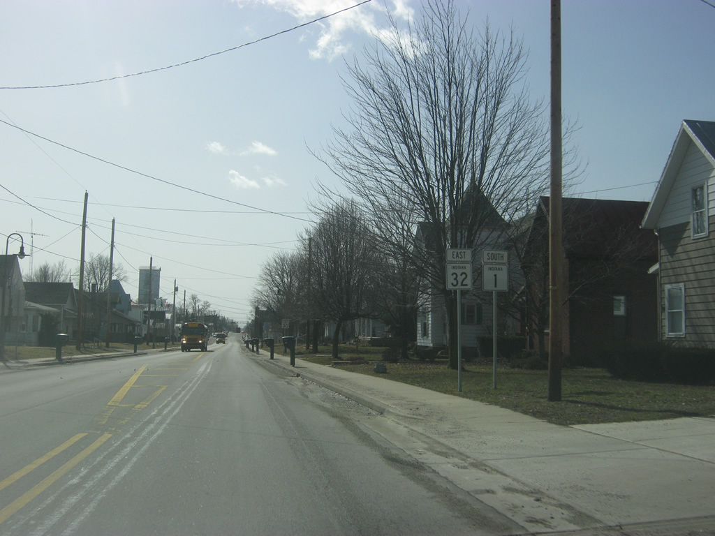
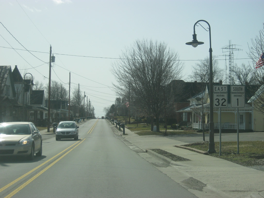
On the north side of Farmland, SR 1 nears the intersection with SR 32 west (Jackson Street). SR 32 is a 157 mile highway that stretches from the Illinois state line to the Ohio state line, going through the communities of Crawfordsville, Lebanon, Noblesville, Anderson, Muncie, and Winchester before crossing into Ohio at Union City.
11/15/10
SR 32 heads west from the four-way stop with SR 1 (called Main Street in Farmland) as Jackson Street heads to the east. SR 32 connects Farmland to the communities of Parker City and Selma before reaching Muncie. To the south, SR 32 multiplexes with SR 1 across Farmland.
11/15/10
SR 1 and SR 32 are multiplexed along Main Street through the heart of Farmland. As with Redkey, SR 1 & 32 (Main Street) across Farmland was also reconstructed in the late 2000s.
11/15/10
South of Farmland, SR 1 and SR 32 split as SR 32 continues to the east for its eight mile trip to the Randolph County seat of Farmland.
11/15/10
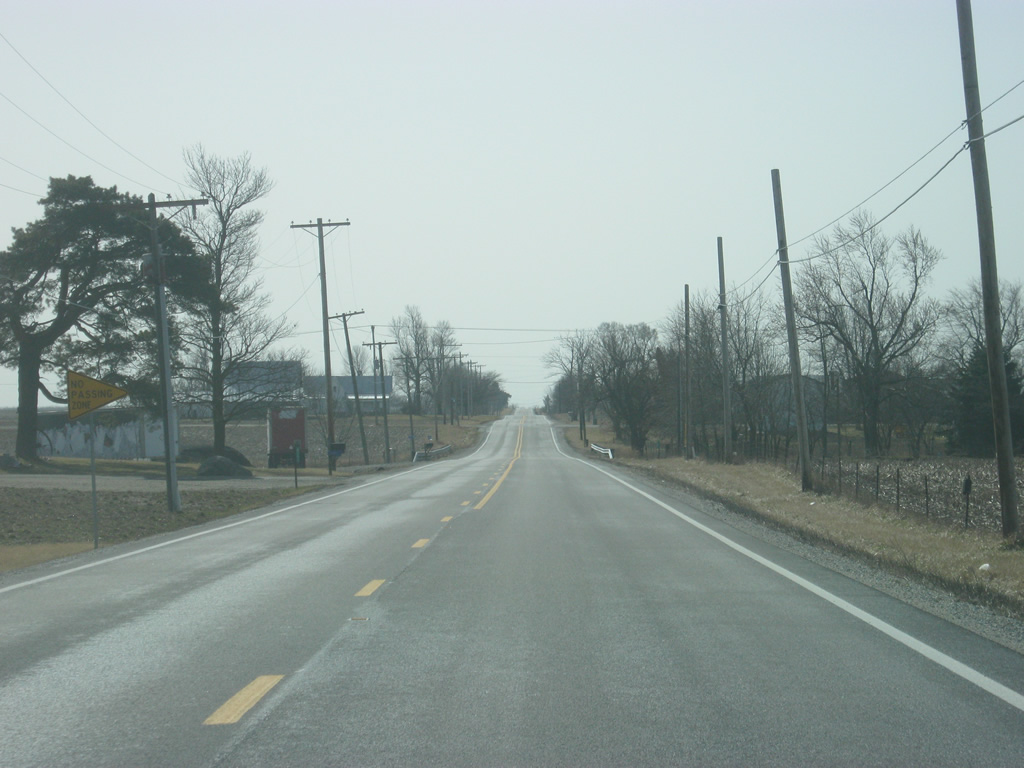
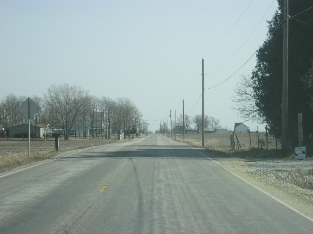
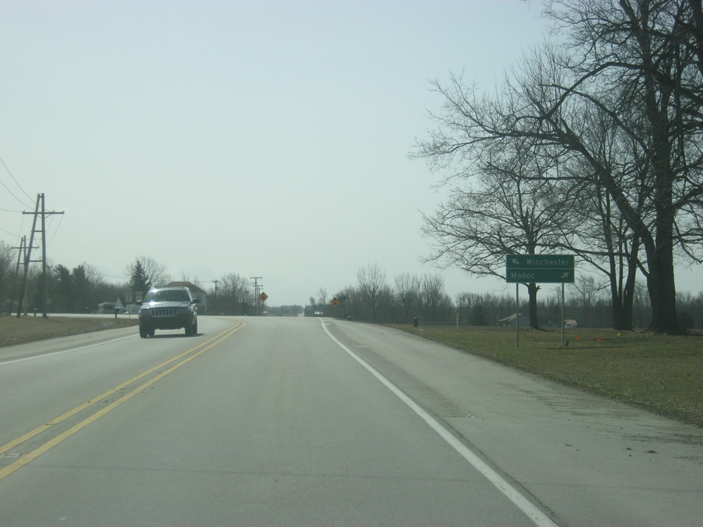
South of Farmland, it is nine miles to the next town of Modoc. As with much of SR 1's journey southbound up to this point, the scenery remains flat.
11/15/10
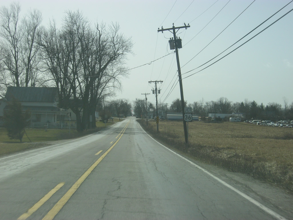
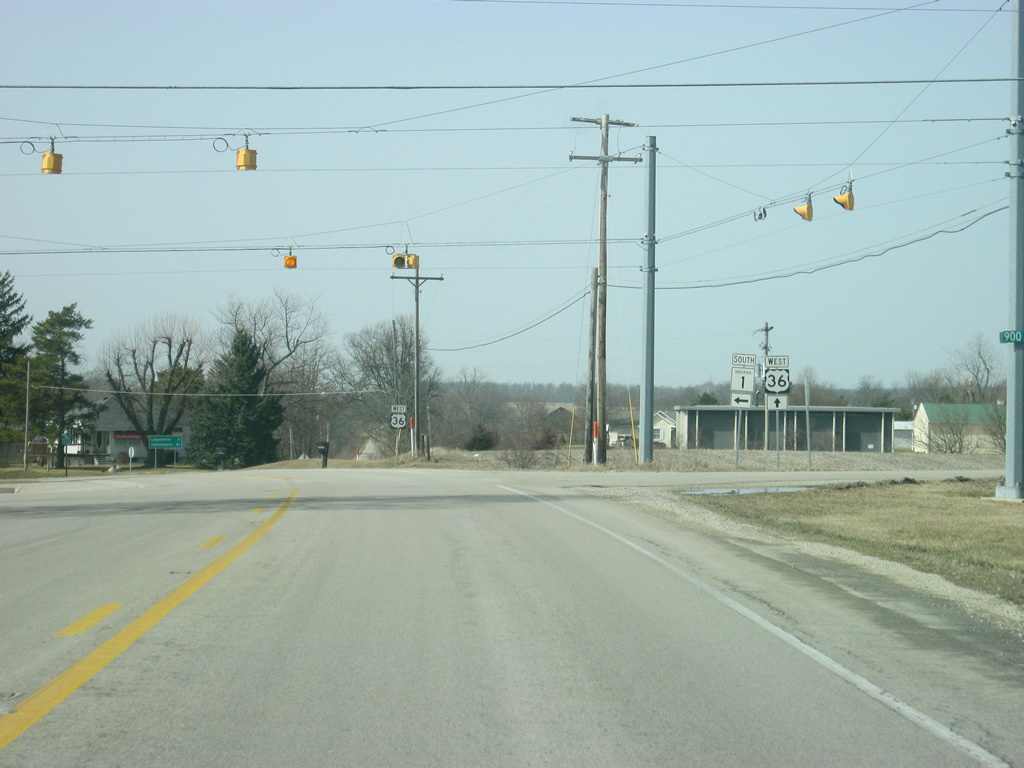
SR 1 nears the community of Modoc and the intersection with U.S. 36. U.S. 36 goes for 1,414 miles from the Rocky Mountain National Park to Uhrichsville, Ohio and for 139 miles across Indiana from the Illinois line, through Rockville, Danville, Indianapolis, and Pendleton before leaving into Ohio.
11/15/10
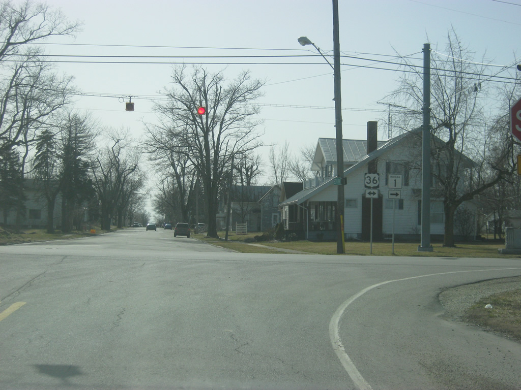
SR 1 meets U.S. 36 on the north side of Modoc. SR 1 will follow U.S. 36 one mile to the west to return to its alignment along County Road 900 West as it was north of Farmland. SR 1 used to continue to the south into Modoc toward the intersection with County Road 900 South. At that point, the state highway made its one mile westward jaunt to the current SR 1.
11/15/10
 West
West 
A view of U.S. 36 & SR 1 as the highways multiplex west of Modoc.
11/15/10
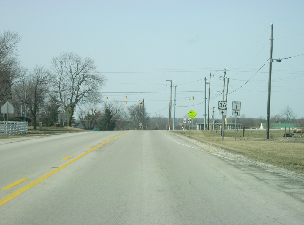
Nearing the intersection with County Road 900 West, SR 1 continues to the south as U.S. 36 continues west toward Losantville, Mount Summit and Indianapolis.
11/15/10
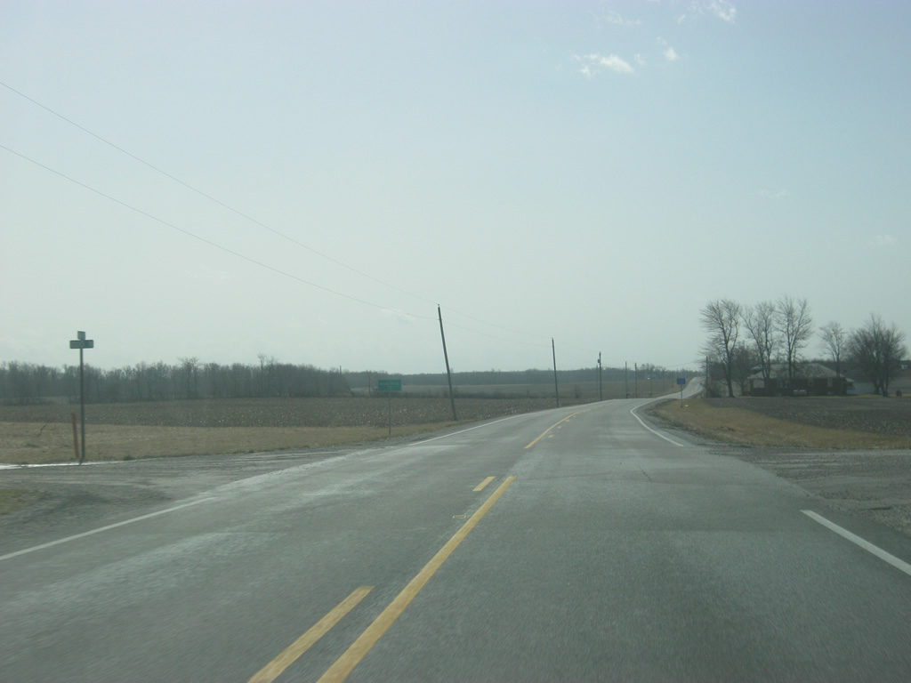
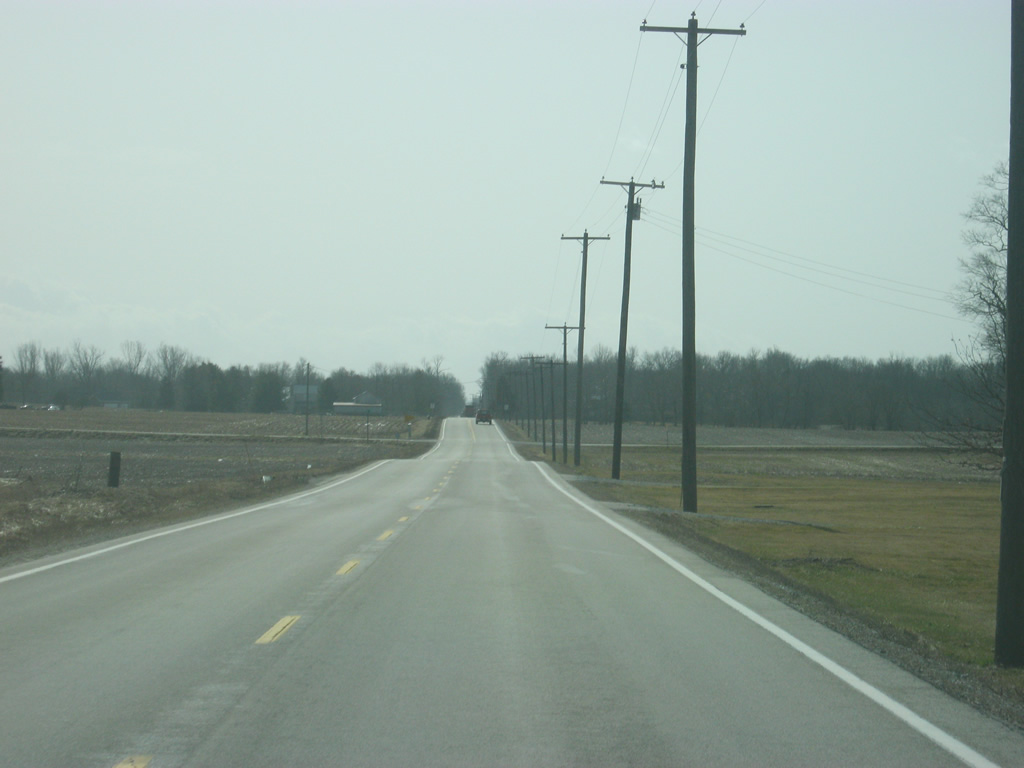
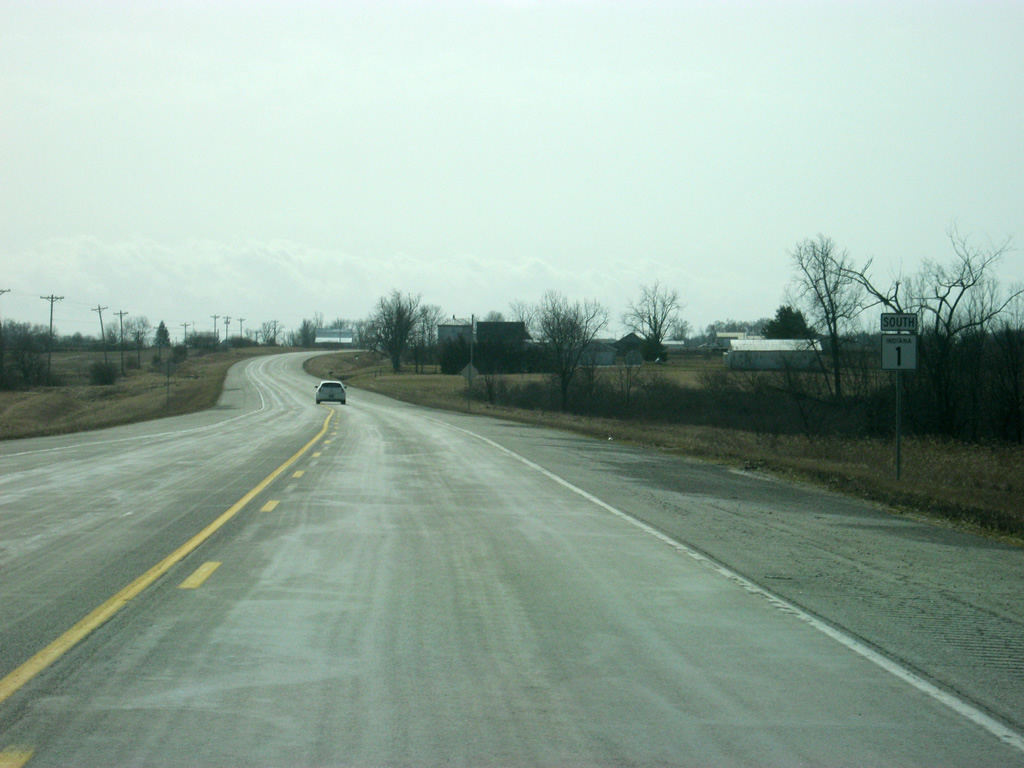
South of U.S. 36, SR 1 picks up shoulders at it slowly will become a more important highway as it enters Wayne County.
11/15/10
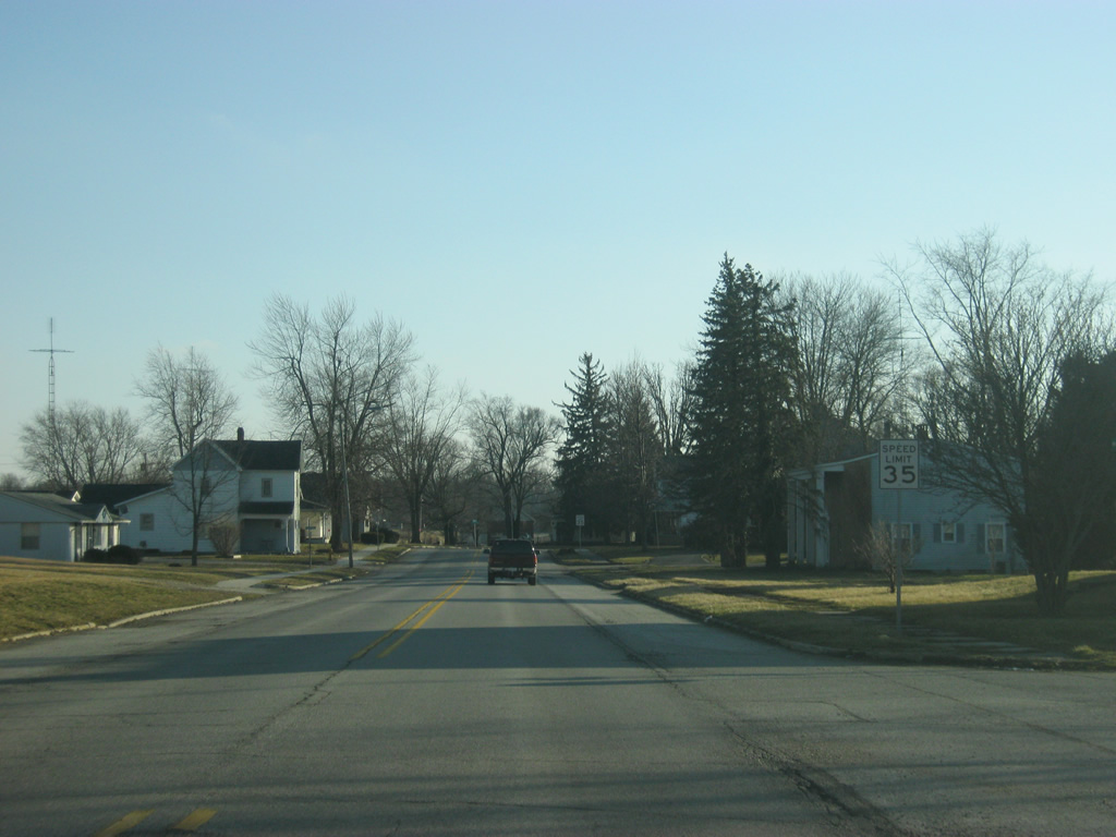
SR 1 enters Wayne County (population 68,917).
11/15/10


Photo Credits:
- Thomas Decker: 11/15/10, 02/06/12
Connect with:
Page Updated Monday August 18, 2014.