
State Road 1 South - Allen & Wells Counties

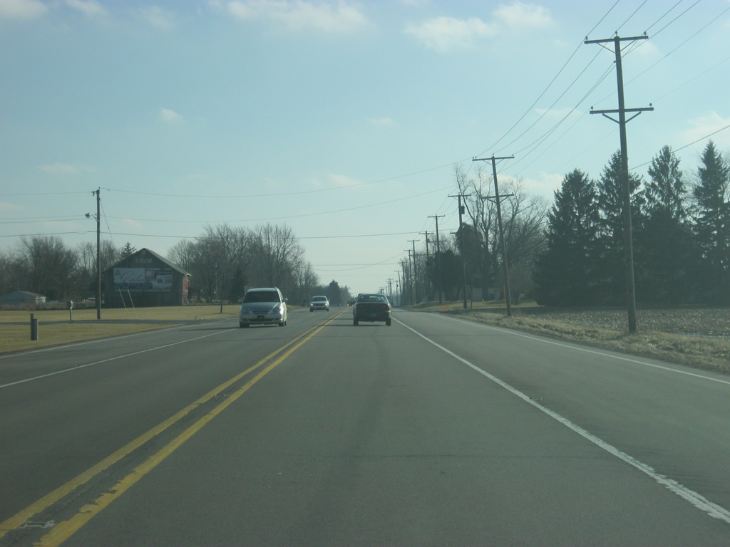
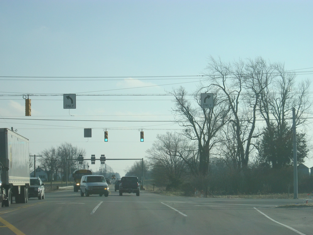
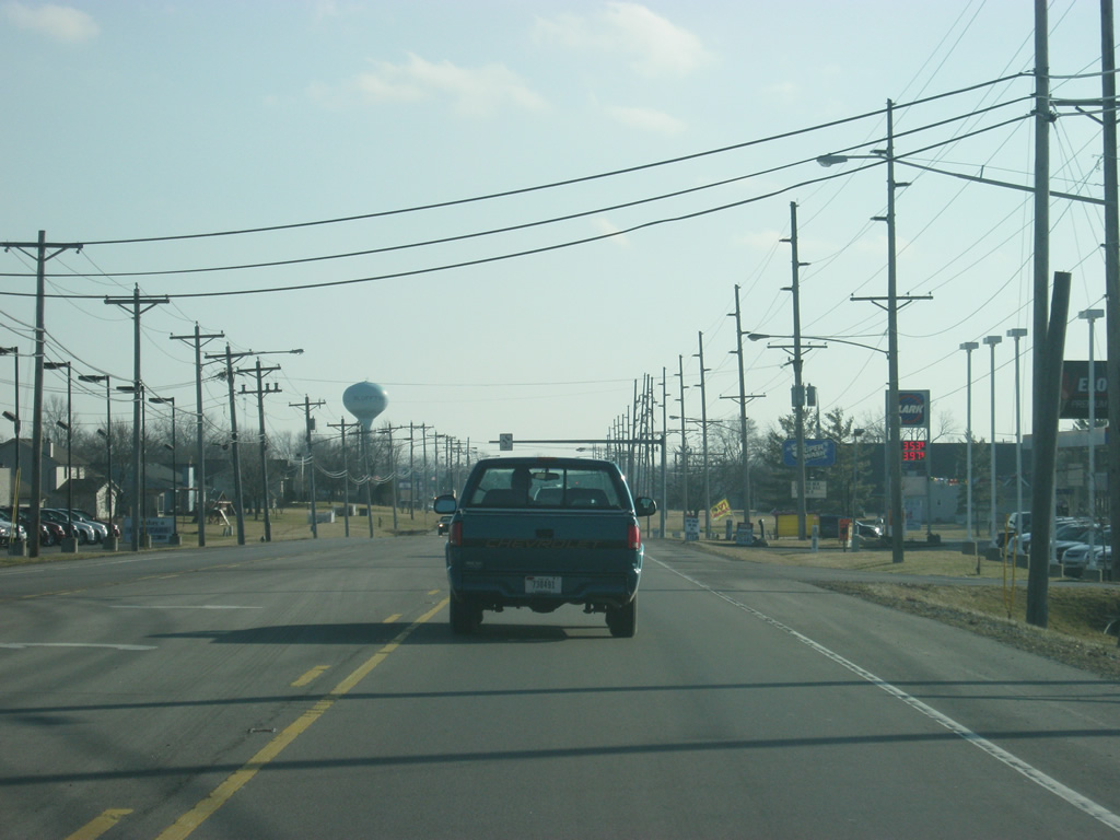
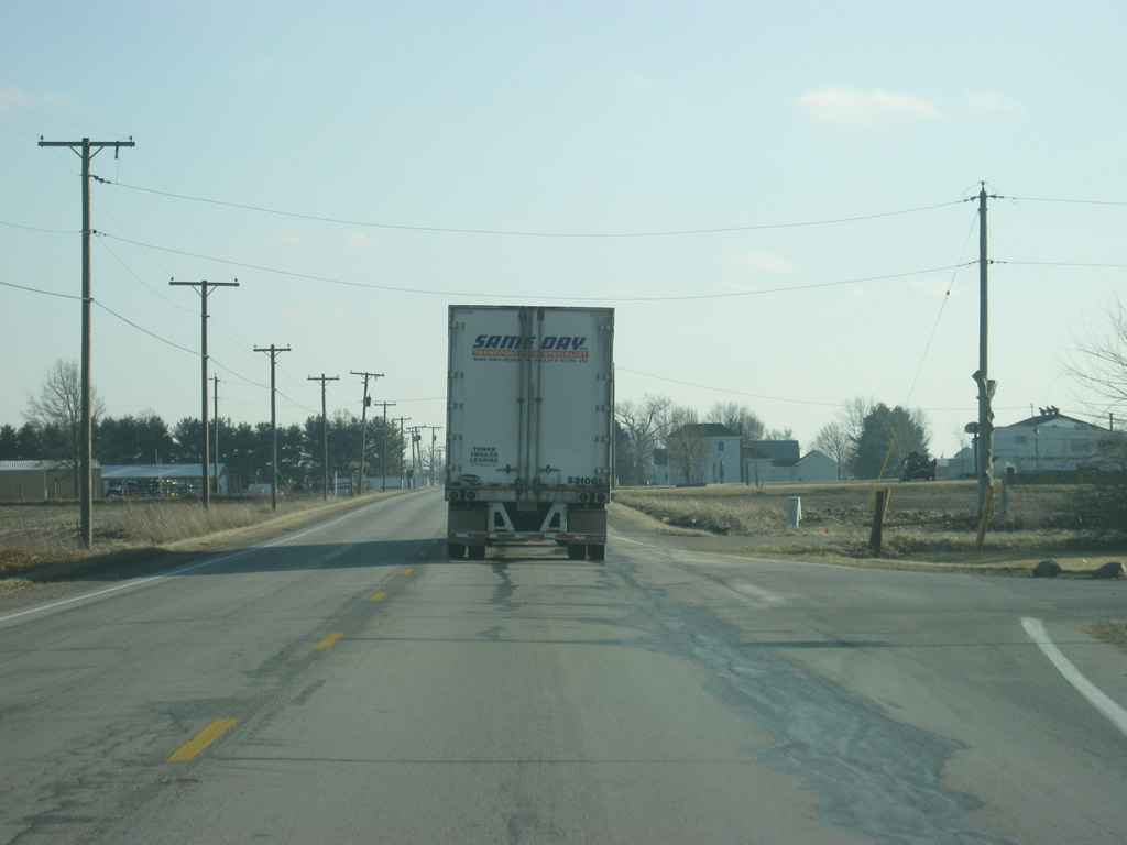
We begin on SR 1 heading south from Interstate 469/U.S. 24/U.S. 33 in southern Allen County (population 355,329). The highway once went north of the interstate along Bluffton Road into the city of Fort Wayne, but has since been decommissioned to the interstate, splitting the overall highway in two. SR 1 heads through mainly agricultural fields as it leaves the Fort Wayne area en route for Wells County.
02/06/12
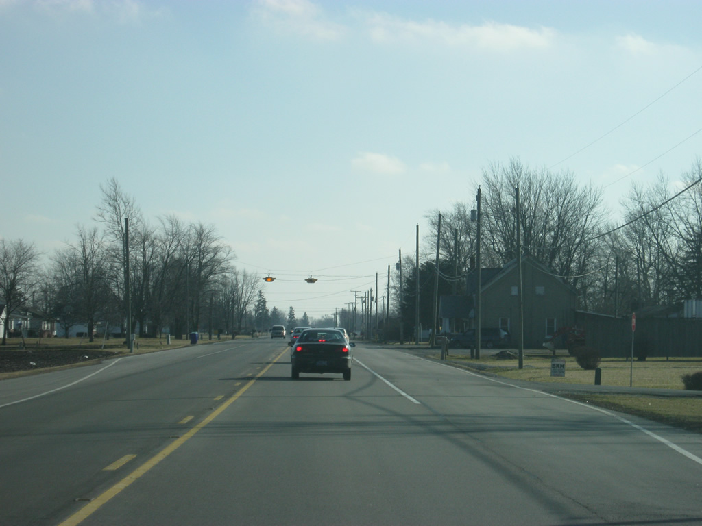
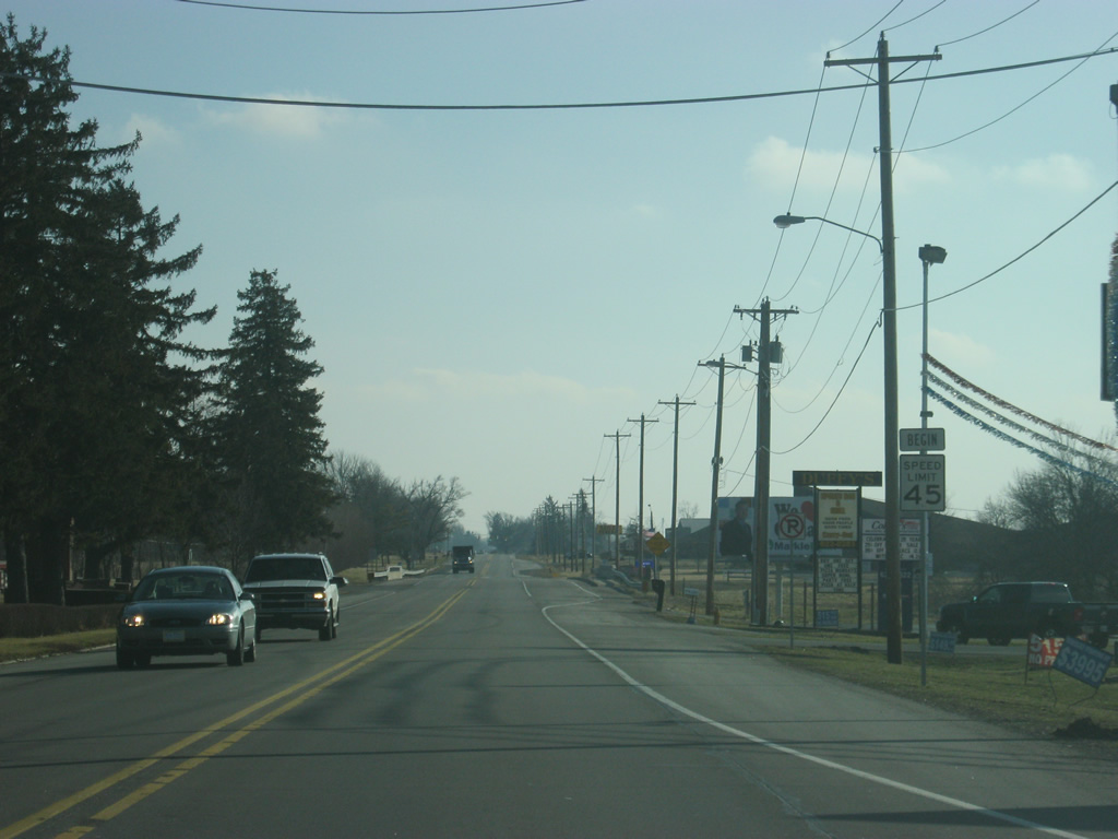
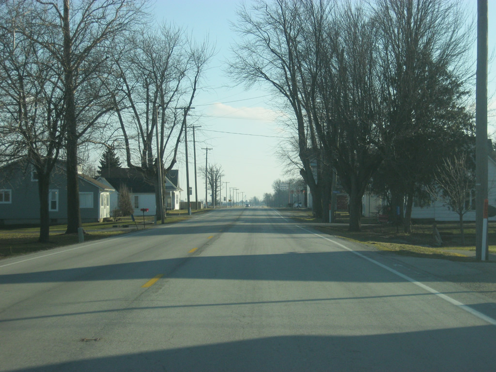
At the junction with SR 1 and Yoder Road, which goes to the town of Yoder less than a mile to the west.
02/06/12
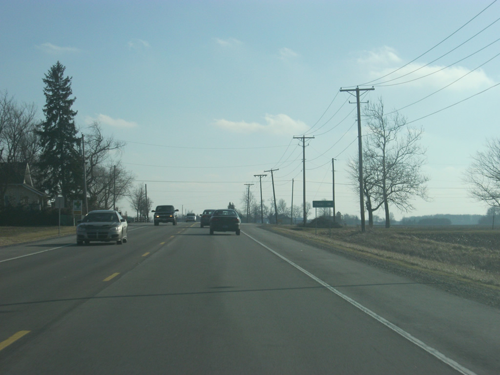
A view of SR 1 south of the intersection with Yoder Road.
02/06/12
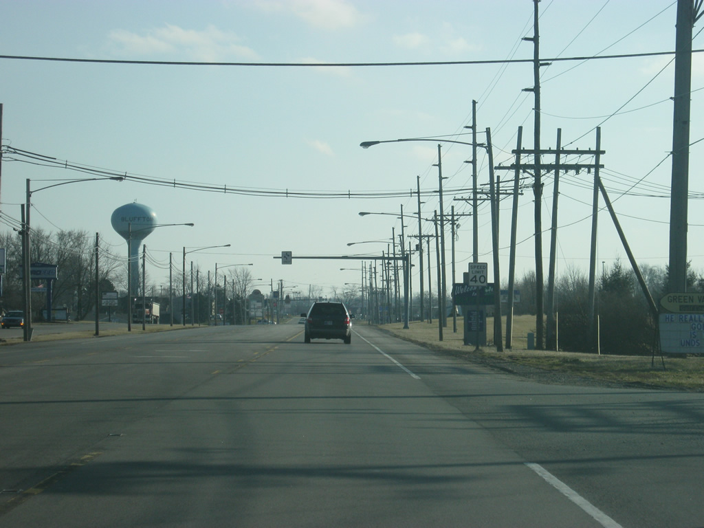
SR 1 enters Wells County (population 27,636).
02/06/12
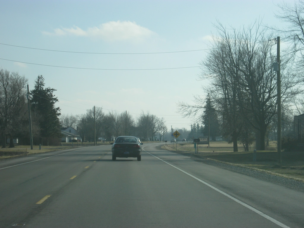
Upon entering Wells County, SR 1 passes by the flasher light intersection with County Road 1100 North.
02/06/12
SR 1 to the south of County Road 1100 North nearing the town of Ossian.
02/06/12
SR 1 enters the town of Ossian (population 3,289) along Jefferson Street.
02/06/12
A view of SR 1 (Jefferson Street) on the north side of Ossian. While it's not as big as the county seat of Bluffton, Ossian has seen steady growth as a suburb of the Fort Wayne. The location of the town along SR 1 only a few miles from Interstate 469/U.S. 24/U.S. 33 and the Fort Wayne International Airport has helped.
02/06/12

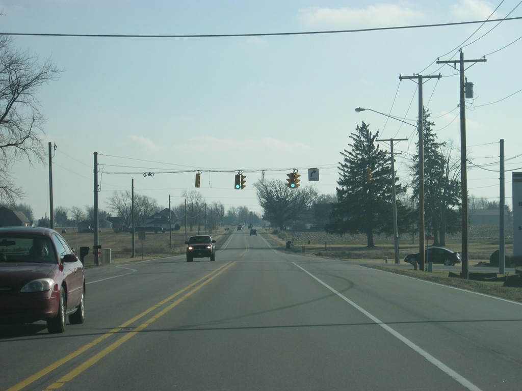
SR 1 (Jefferson Street) through Downtown Ossian. The stoplight up ahead is with Mill Street.
02/06/12
A small commercial district abuts SR 1 (Jefferson Street) on the south side of Ossian. While most of the community will head north toward Fort Wayne along SR 1, the stretch between Ossian and Bluffton remains heavy with county traffic that may be headed to the county seat for business.
02/06/12
On the far south side of Ossian, SR 1 (Jefferson Street) passes by the intersection with County Road 850 North which serves the Ossian Industrial Park.
02/06/12
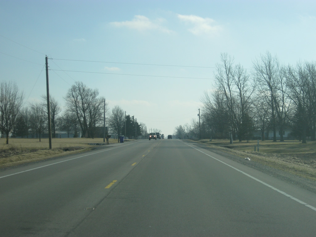
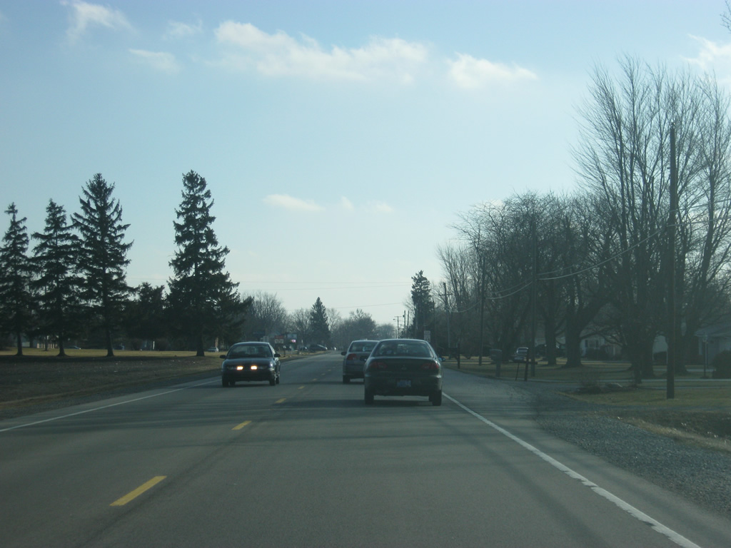
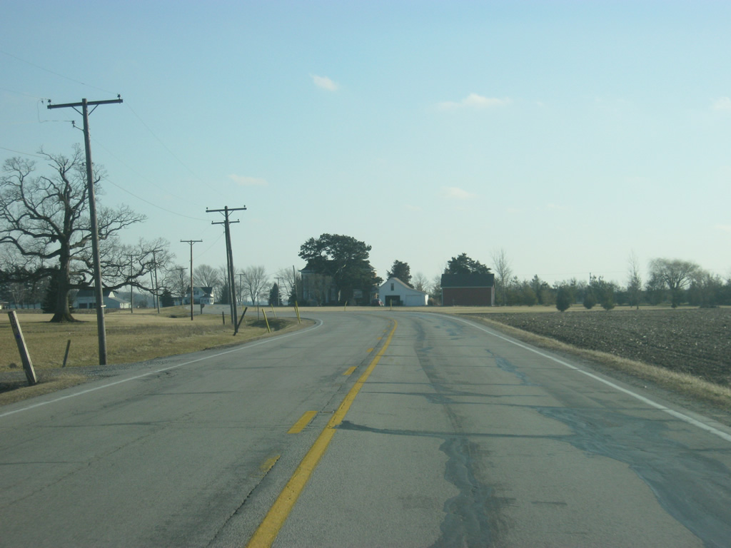
South of County Road 850 North, SR 1 is again a rural highway as it now heads toward the Wells County seat of Bluffton.
02/06/12
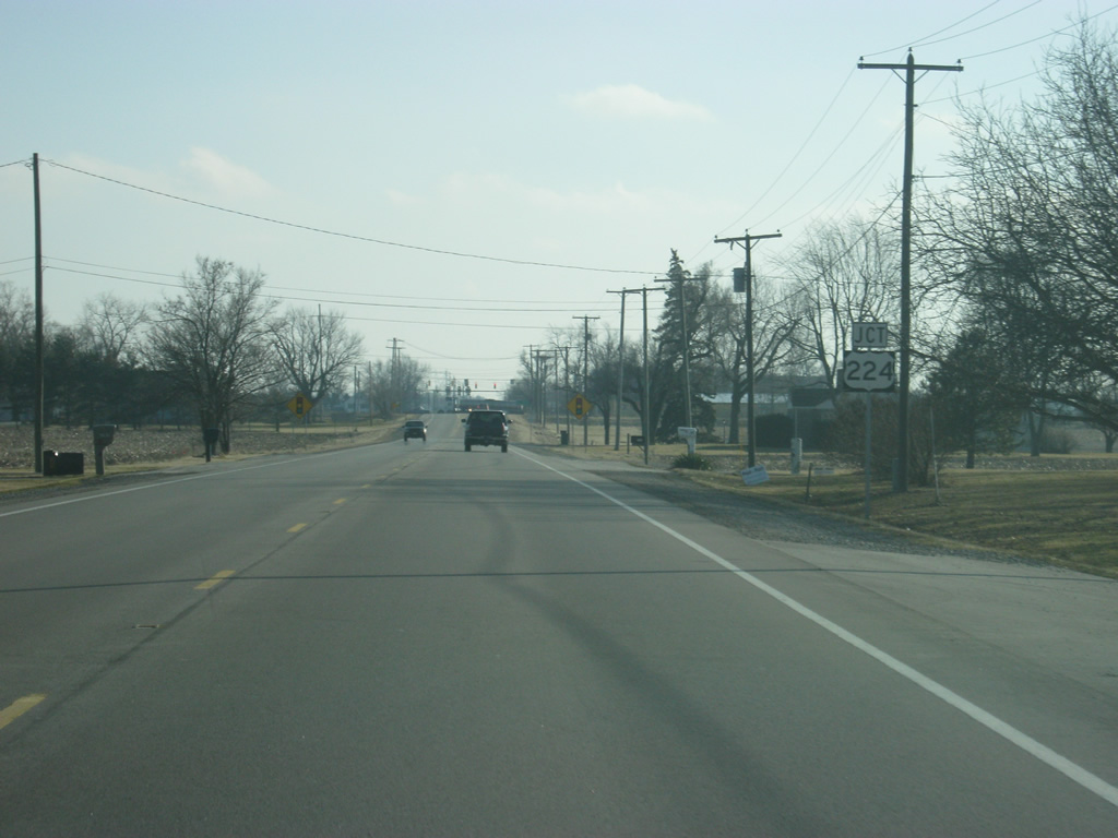
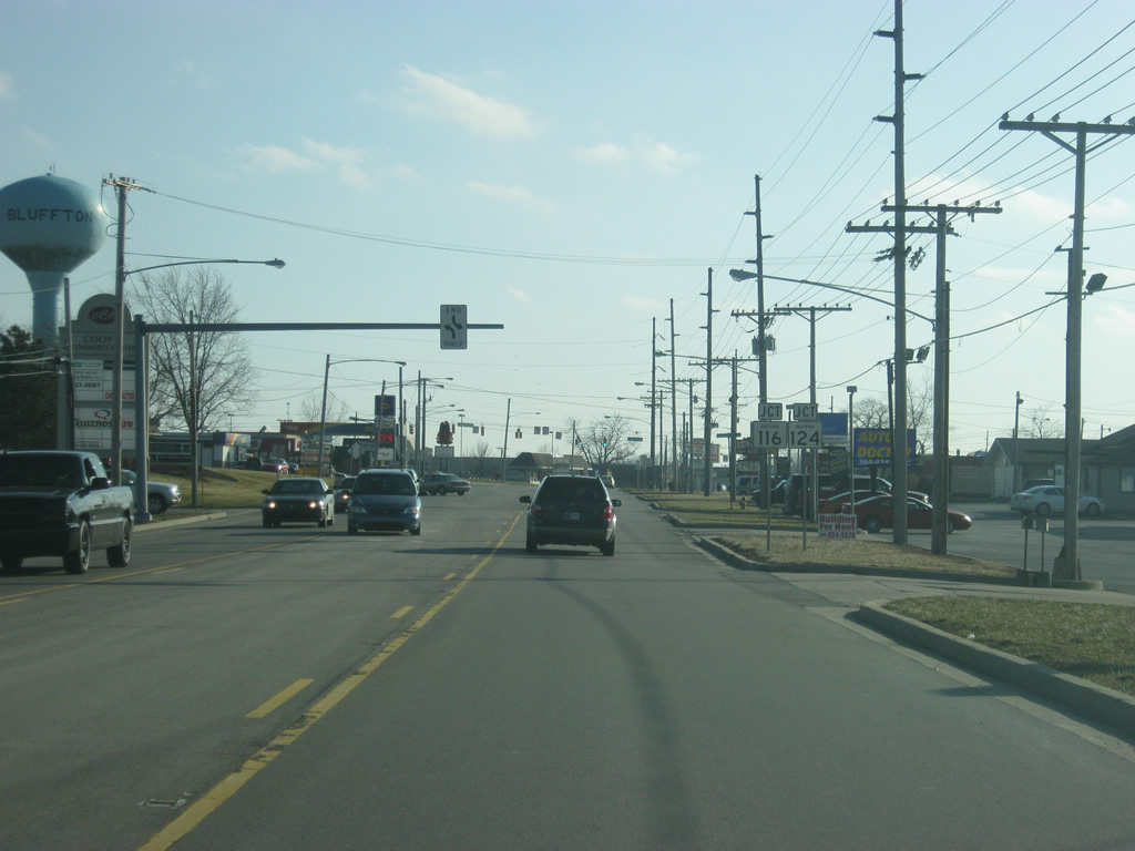
SR 1 nears the intersection with U.S. 224 in between Ossian and Bluffton. U.S. 224 goes for 289 miles from U.S. 24 in Huntington through Markle and Decatur en route across the state of Ohio to New Castle, Pennsylvania. In total, the highway goes for 289 miles.
02/06/12
Looking at the stoplight intersection with SR 1 and U.S. 224. The Adams County seat of Decatur is 12 miles to the east while Markle and Interstate 69 is about 13 miles to the west.
02/06/12
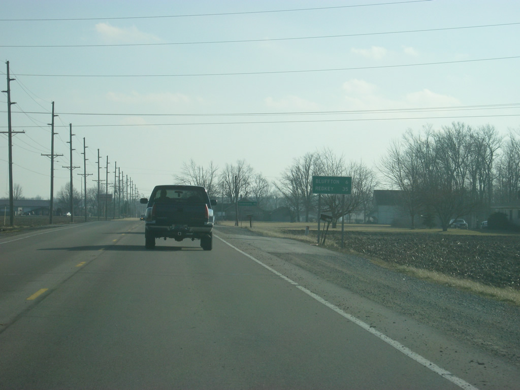
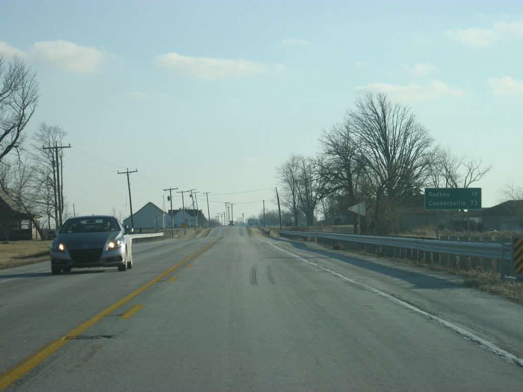
South of the junction with U.S. 224, Bluffton is six miles away with Redkey, in southwestern Jay County, at 35 miles.
02/06/12
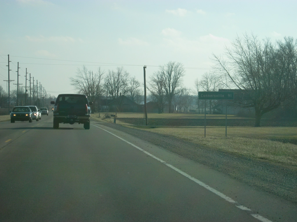
Another distance sign gives the distance to the Fayette County seat of Connersville, at 91 miles. After Bluffton, Connersville is the next major community that SR 1 goes through.
02/06/12

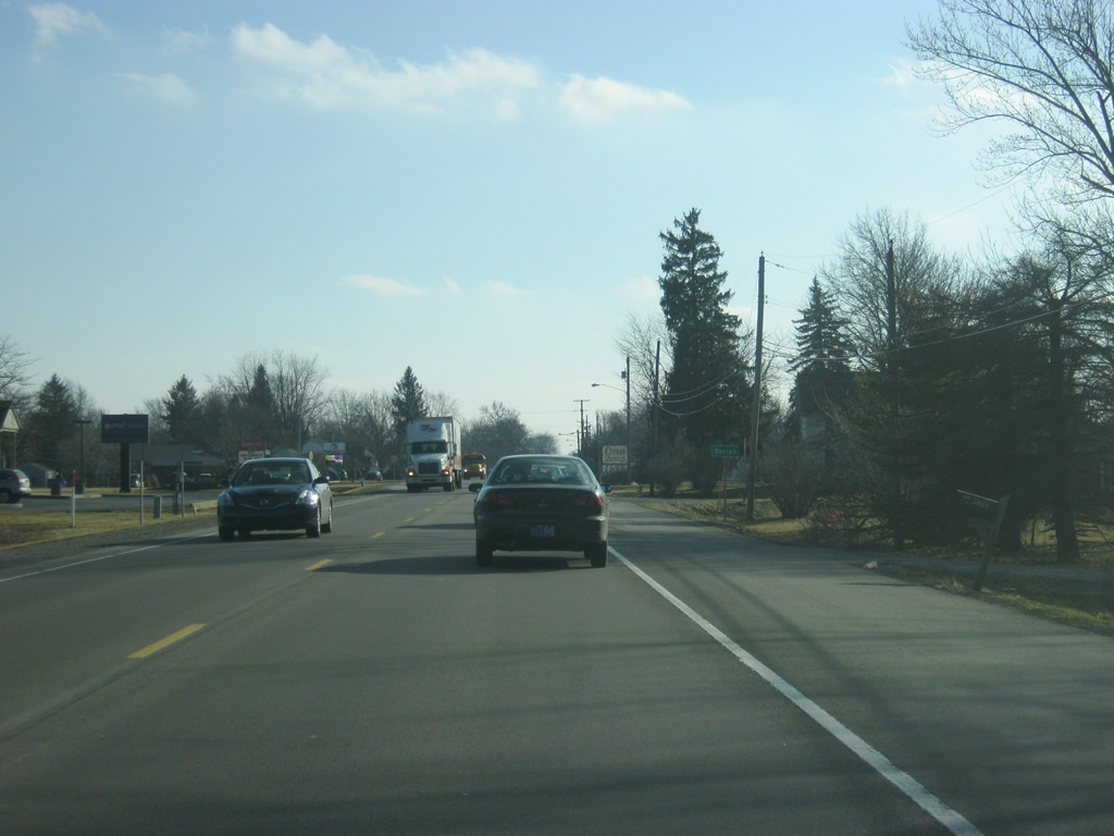
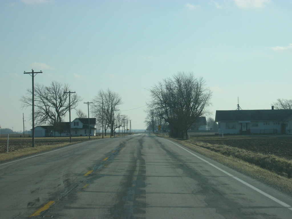
A view of SR 1 heading toward the city of Bluffton.
02/06/12

Still about three miles north of the downtown, SR 1 officially enters the Wells County seat of Bluffton (population 9,897). Due to suburban growth, residential and commercial developments have headed north from the main part of Bluffton along SR 1, called Main Street in town, pushing the corporation line in the country.
02/06/12
Since most of the residents who live in Bluffton work in Fort Wayne, if not Bluffton itself, the commuter traffic heads north along SR 1 (Main Street). Commercial development has been set up along this stretch of highway.
02/06/12

Passing by a couple of big-box stores, SR 1 (Main Street) comes up to the first stoplight intersection in Bluffton, with Monroe Street (County Road 200 North).
02/06/12
South of Monroe Street, SR 1 (Main Street) continues south past a mix of commercial and residential zones as we are still two miles out from the downtown.
02/06/12
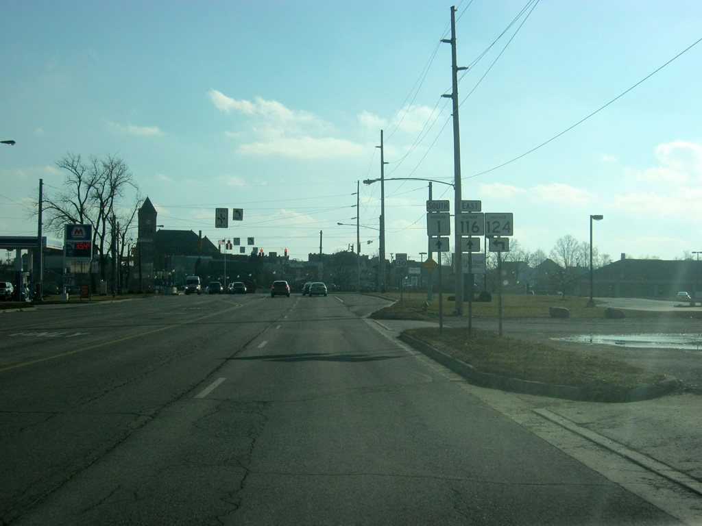
We are now coming up on the intersection with SR 116 west/SR 124 west (Dustman Road). SR 116 starts at U.S. 224 in Markle and heads south toward Bluffton and into Adams County, ending at U.S. 27 in Geneva and going for 32 miles. SR 124 is a 67 mile highway that goes from Peru to Bluffton and the Ohio border.
02/06/12
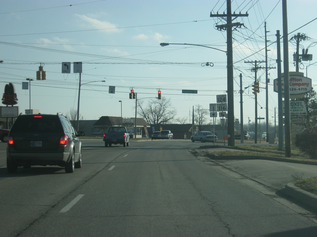
Both SR 116 and SR 124 will follow SR 1 (Main Street) toward Downtown Bluffton. Both state highways flow Dustman Road to the west, where SR 124 breaks off toward county Road 100 North. Before the early 2000s, SR 124 was routed through Downtown Bluffton. The highway was rerouted along County Roads 100 East and 100 North along with SR 116 (Dustman Road).
02/06/12

SR 1 south & SR 116-124 east (Main Street) head south as a four lane highway through another commercial corridor that once marked the north side of Bluffton before it moved further north along SR 1. We are now a mile from Downtown Bluffton.
02/06/12
The Wells County Courthouse looms in the distance as SR 1-116-124 (Main Street) head toward the south.
02/06/12
We now approach the split with SR 1 south & 116 east (Main Street) and SR 124 east (Division Road). SR 124 heads east out of Bluffton toward the community of Monroe in Adams County. Before the reroute of SR 124 around Bluffton, the state highway came in from the south to continue east along its current routing.
02/06/12
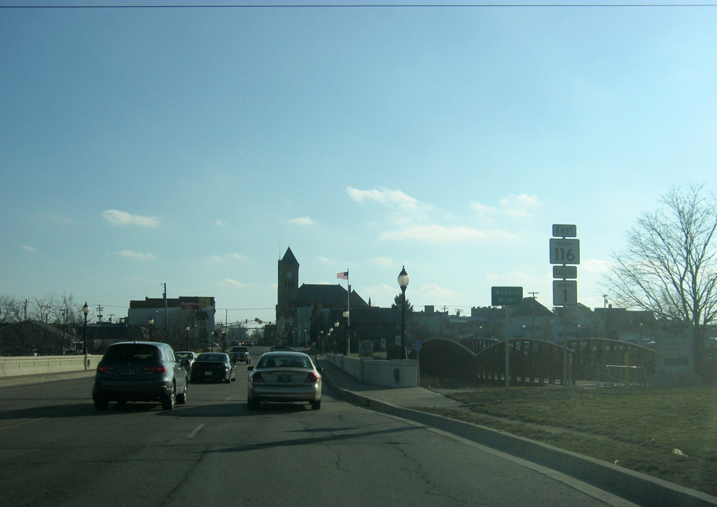
SR 1 south & 116 east (Main Street) now cross over the Wabash River and enter Downtown Bluffton. A pedestrian bridge flanks the highway span on the west side, connecting to a pathway of trails along the Wabash River.
02/06/12
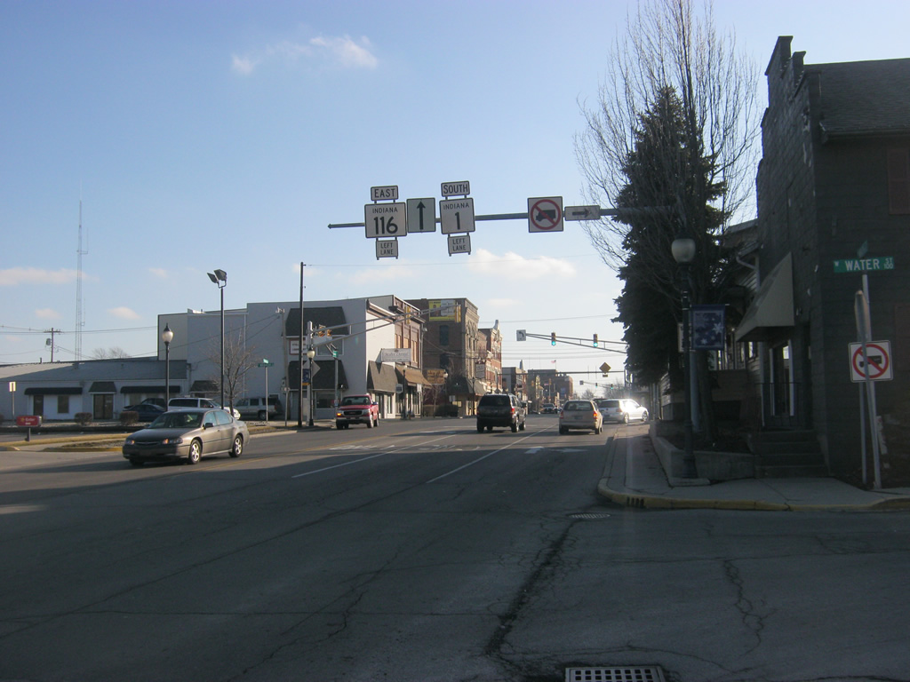
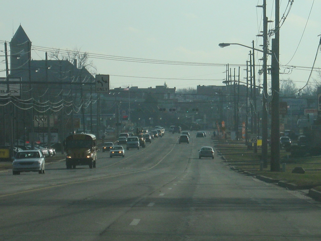
Traffic heading south along SR 1 and SR 116 are directed to use the left lane since the right lane ends just south of Downtown Bluffton. This is the most urban that SR 1 will get until the city of Connersville. Before the early 2000s, SR 124 traffic would have also followed this highway to the Wabash Street intersection (the first stoplight in this picture) where it would have followed Wabash Street to west toward Oak Street north to Lancaster Street, heading west out of the city of Bluffton.
02/06/12
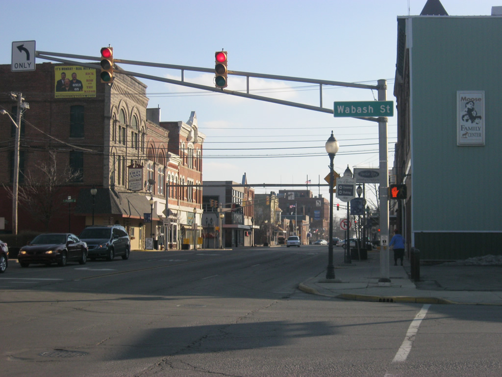
A view of SR 1 & 116 (Main Street) at Wabash Street as the multiplex goes through the heart of Downtown Bluffton.
02/06/12
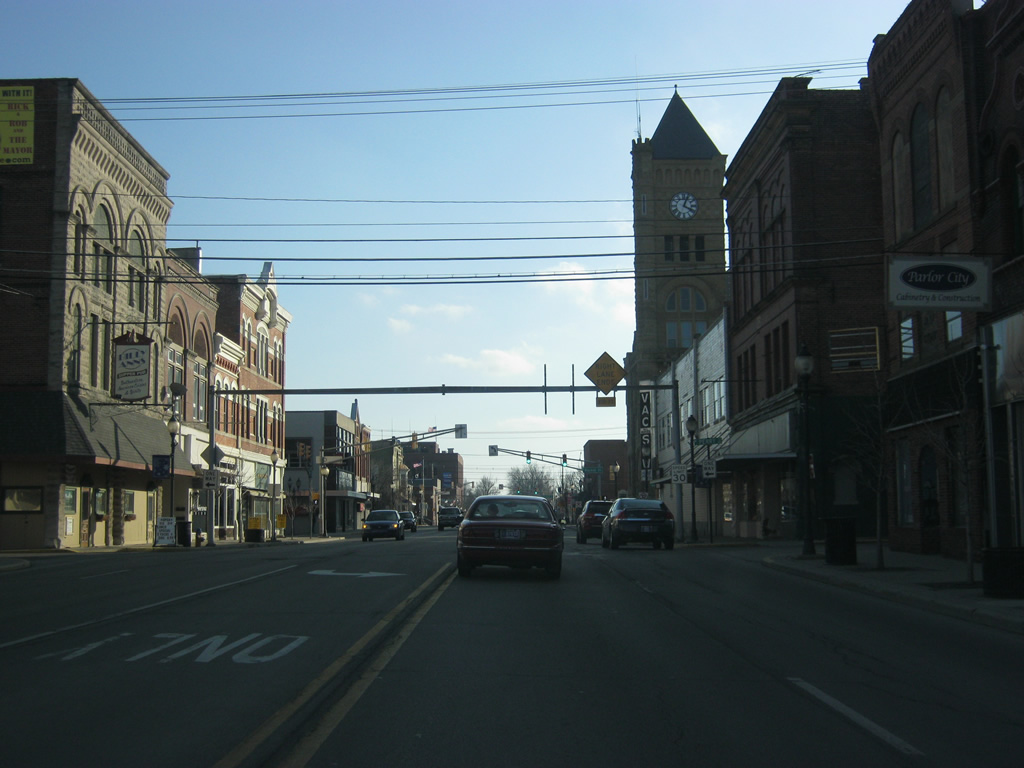
The tower from the Wells County Courthouse rises over Downtown Bluffton as we follow SR 1 & 116 south along Main Street through Downtown Bluffton. A sign bridge warns of the end of the right lane. Highway shields for the two state highways were also once on the sign bridge, but they have since been removed.
02/06/12
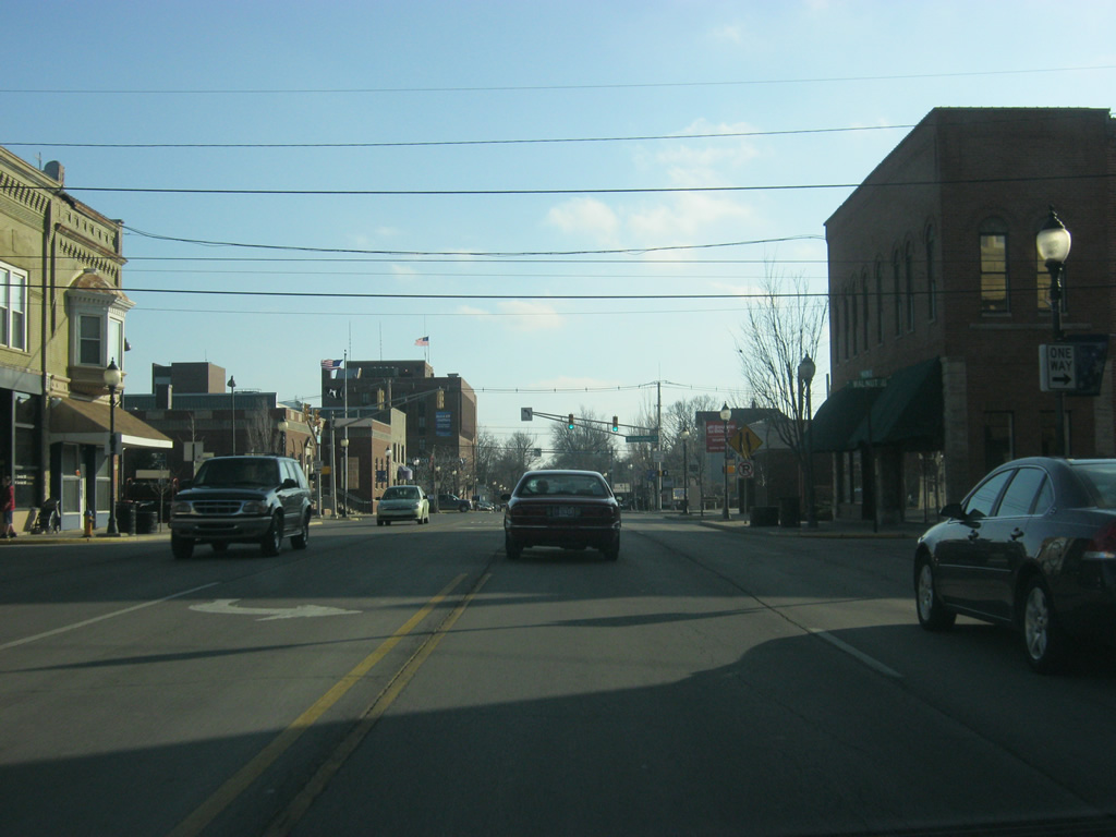
SR 1 south & 116 east (Main Street) heads out of Downtown Bluffton as the right lane ends past the Washington Street intersection (at the next stoplight).
02/06/12
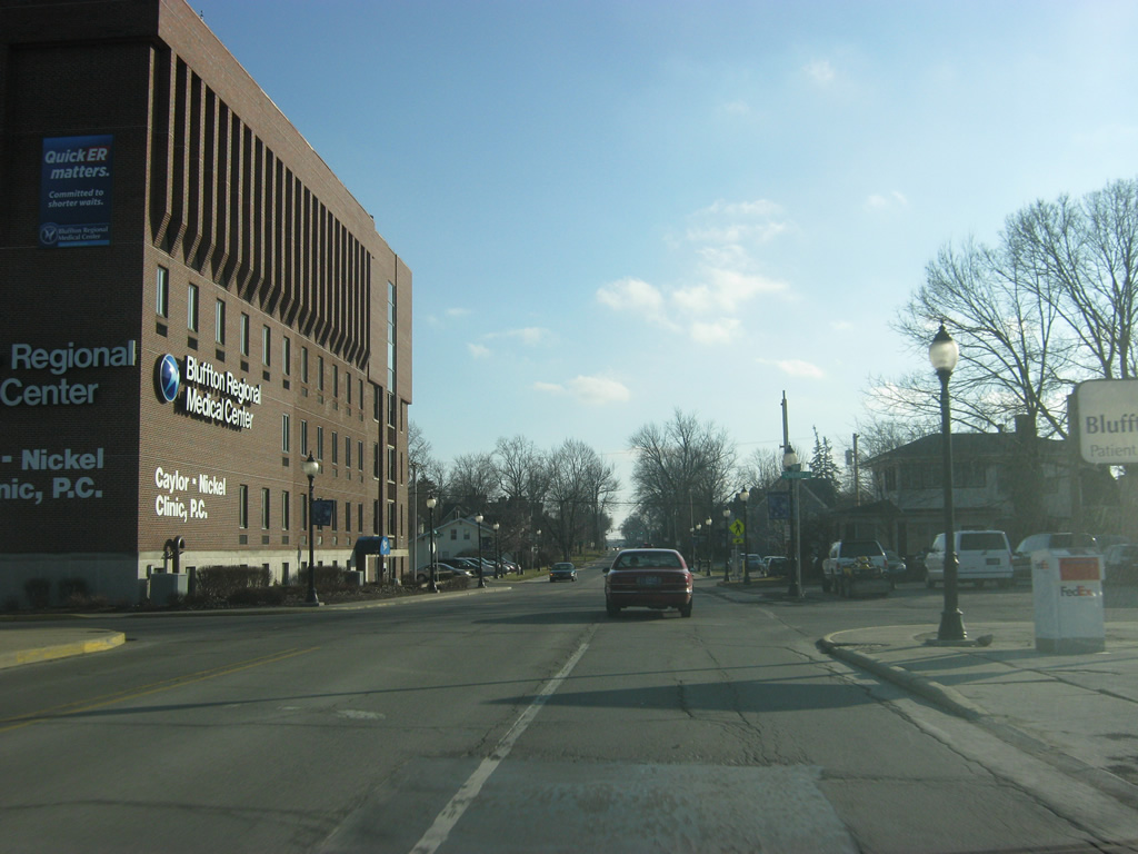
SR 1 & 116 (Main Street) pass by the Bluffton Regional Medical Center as it continues south toward the south side of Bluffton.
02/06/12
A view of SR 1 south & 116 east (Main Street) on the south side of Bluffton.
02/06/12
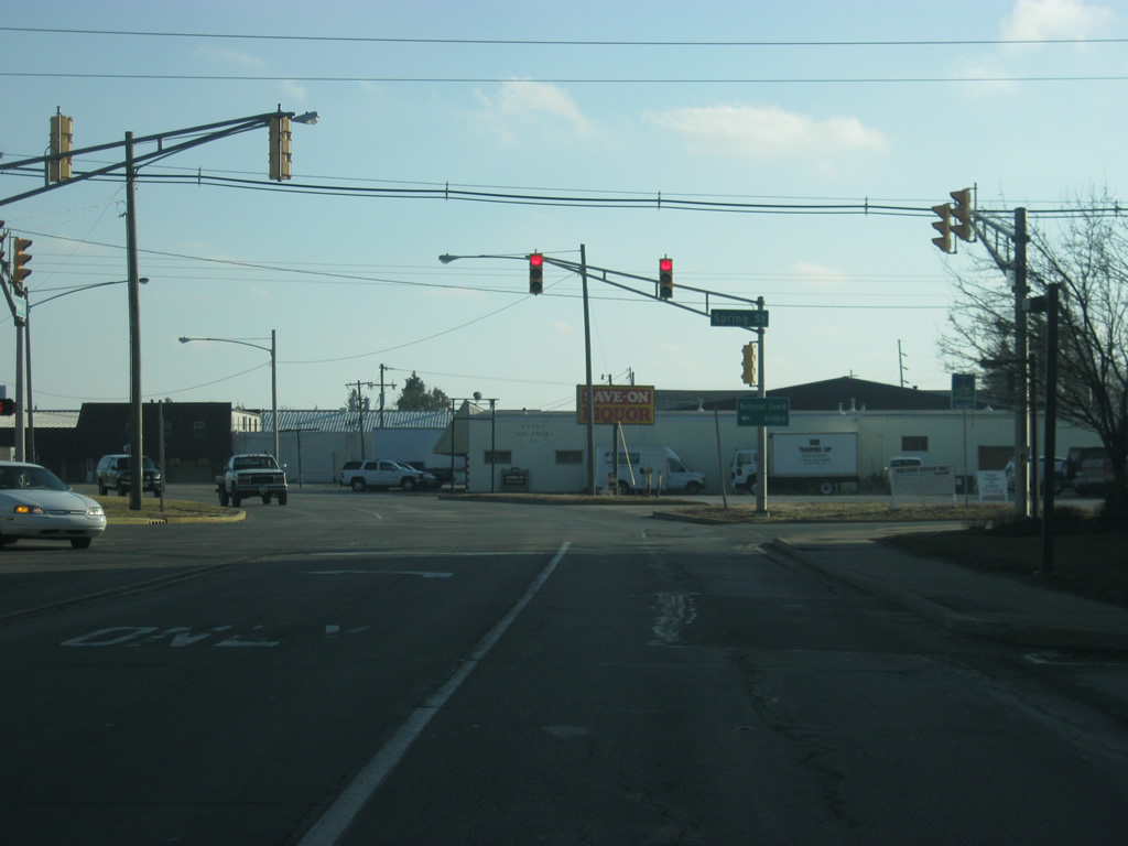
SR 1 & 116 (Main Street) pass by the intersection with Spring Street, leading east to a National Guard Armory and Bluffton Elementary School.
02/06/12
SR 1 south/SR 116 east (Main Street) curve by some industrial and commercial zones as it heads south out of the city of Bluffton.
02/06/12
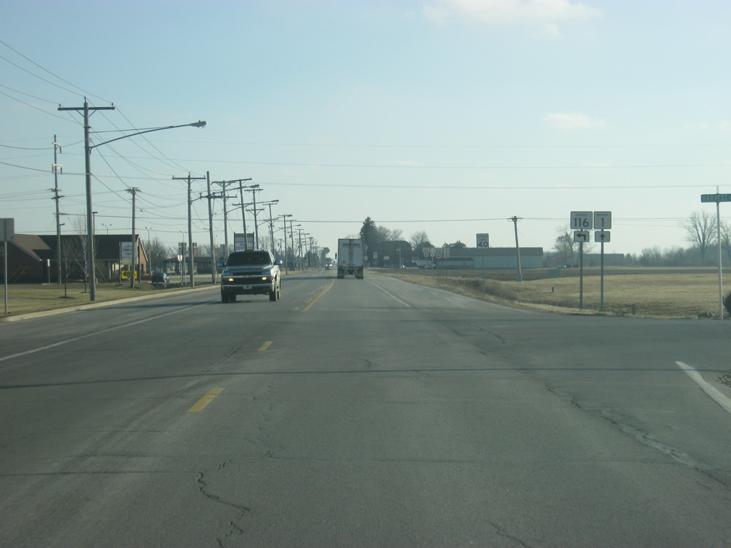
Now of the far south side of Bluffton, we near the point where SR 116 will split off toward the east, en route to the communities of Vera Cruz and Geneva.
02/06/12
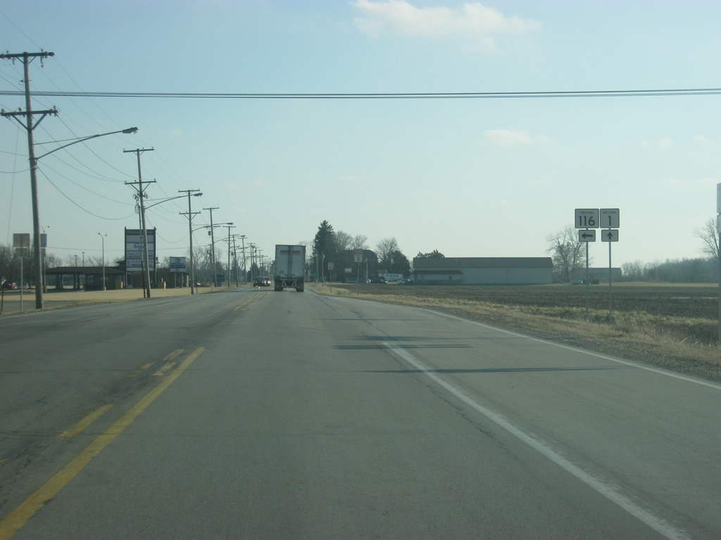
Only a passing blister (the passing lane to the right) marks the intersection with SR 1 and SR 116 south.
02/06/12
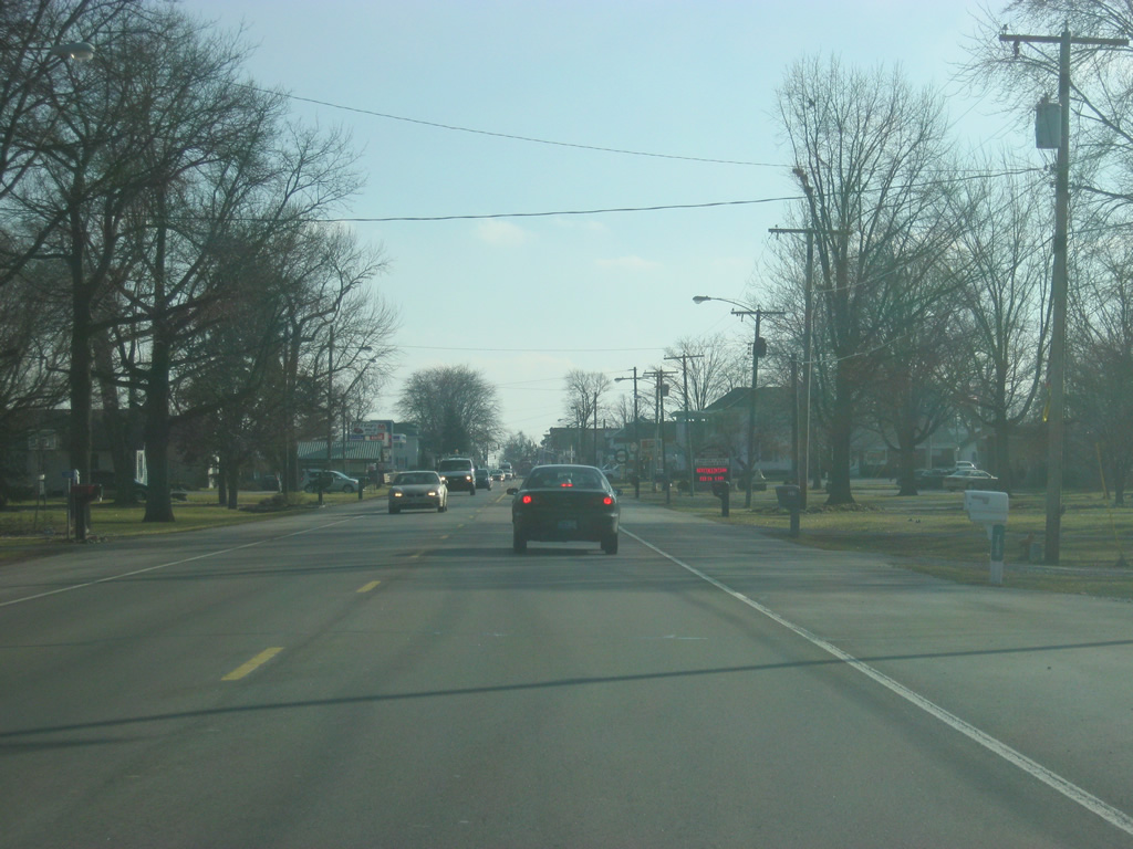
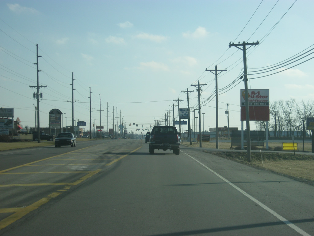
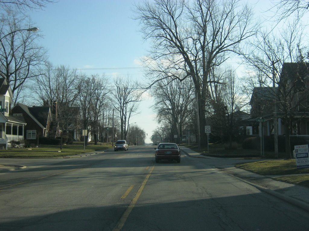
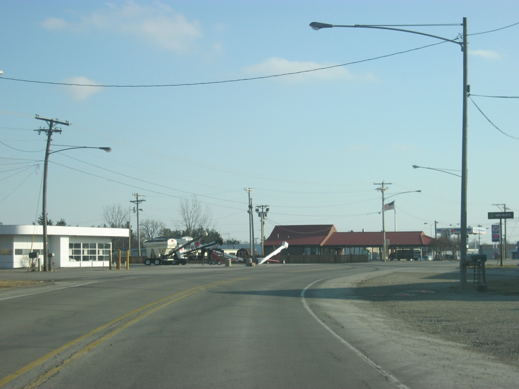
South of Bluffton, traffic levels drop dramatically as the highway heads toward the southern part of Wells County.
02/06/12
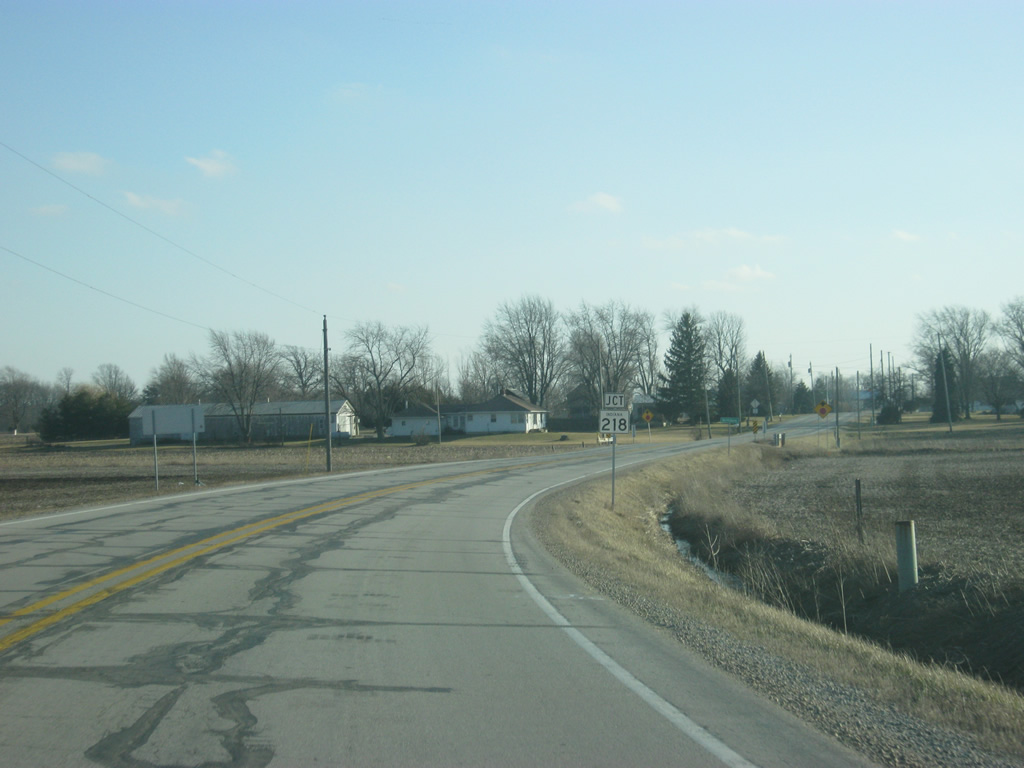
SR 1 comes up to the junction with SR 218. SR 218 goes for over 91 miles in two segments. The western segment exists in Carroll, Cass and Miami Counties. The eastern 50 mile segment begins at SR 15 in La Fontaine and heads east toward Warren and Berne before reaching the Ohio border.
02/06/12
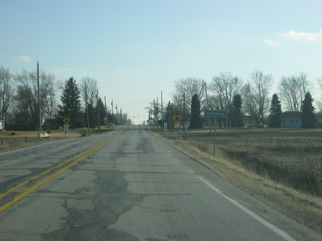
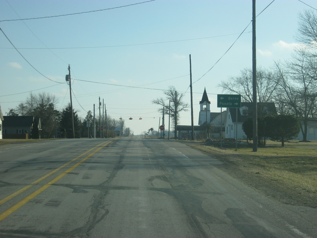
SR 1 enters the very small town of Relffsburg at the junction with SR 1 and SR 218.
02/06/12
In the town of Relffsburg, SR 1 nears the four-way stop with SR 218. The Swiss town of Berne is ten miles to the east while Poneto is four miles to the west.
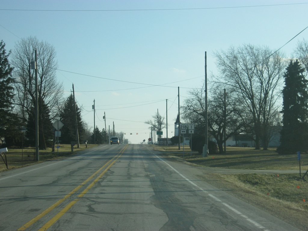
02/06/12
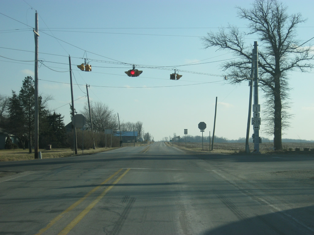
Now at the intersection with SR 1 and SR 218.
02/06/12
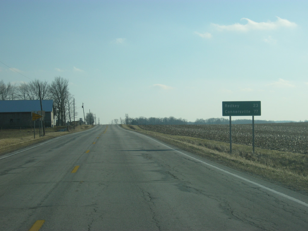
The next decent-sized community that SR 1 will go through is Redkey (23 miles away) while the next large community is Connersville (77 miles away).
02/06/12
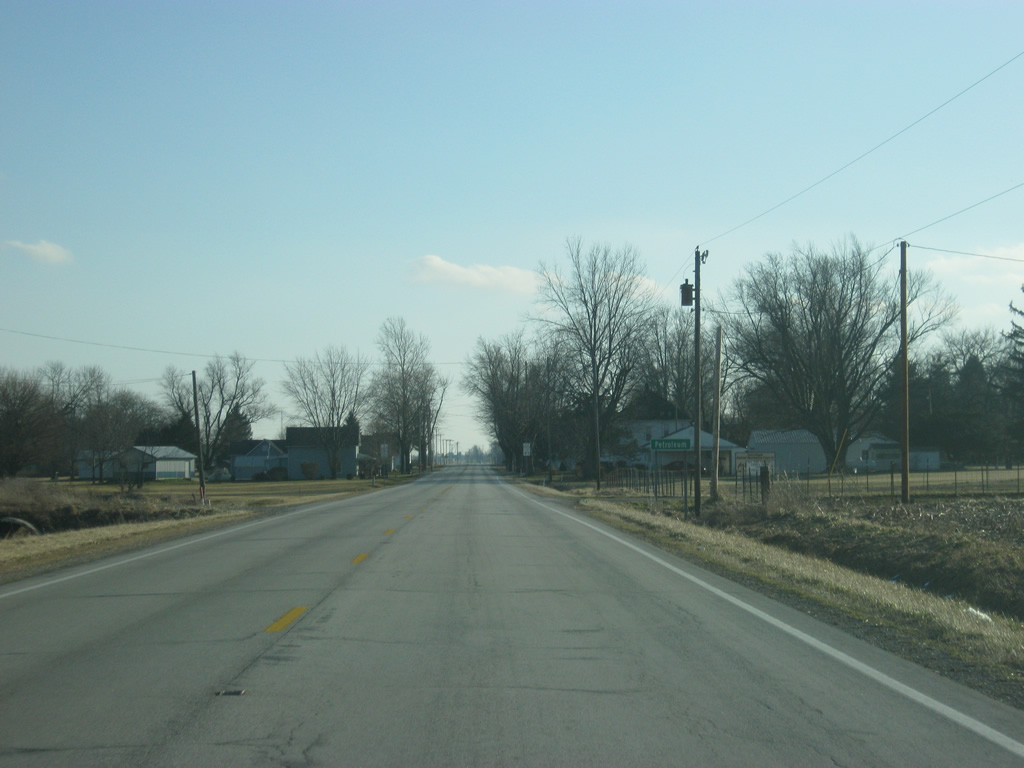
South of the junction with SR 218, SR 1 goes through the town of Petroleum.
02/06/12
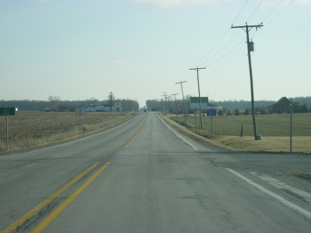
South of Petroleum, Redkey is 19 miles away while Connersville is 73 miles away.
02/06/12
SR 1 enters Jay County (population 21,253). A blue sign to the right identifies SR 1 as the Purple Heart Memorial Highway.
02/06/12


Photo Credits:
- Thomas Decker: 02/06/12
Connect with:
Page Updated Monday August 18, 2014.