
State Road 15 North - Jonesboro to Wabash

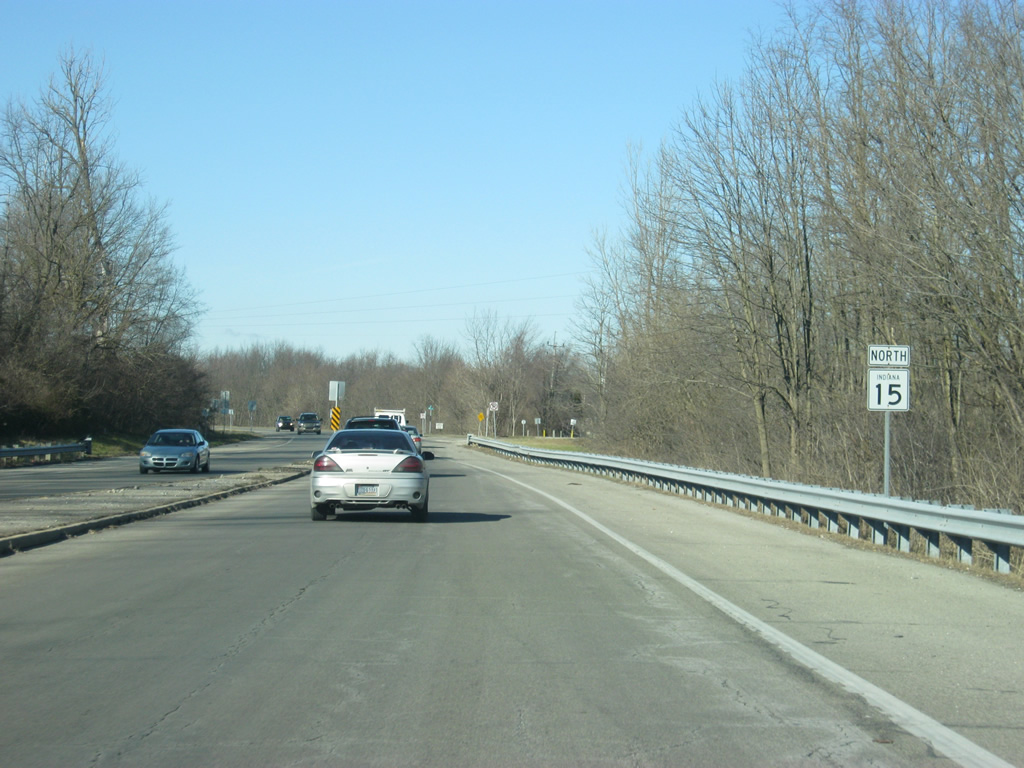
SR 15 begins at the intersection with U.S. 35/SR 22 within Jonesboro in Grant County; this is a view of the first SR 15 shield going northbound from that intersection.
03/05/11

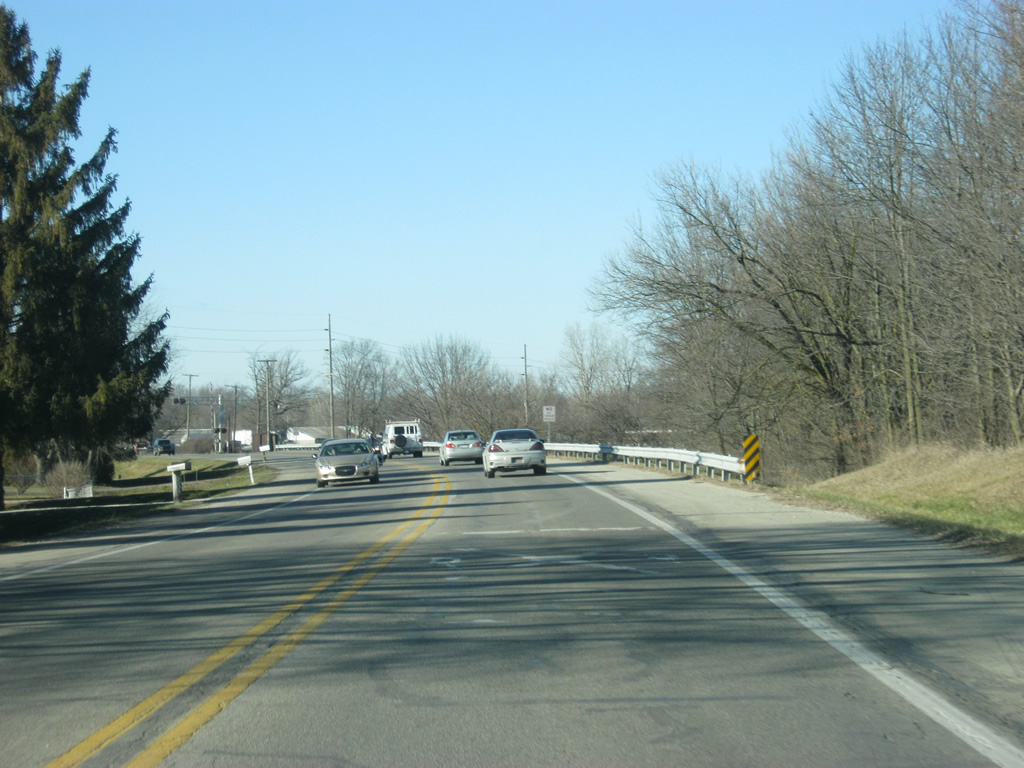
The first couple of miles of SR 15 go through some wooded sections in between Jonesboro and the city of Marion. The Cardinal Greenway, the longest rail-trail in the state, which goes from Sweester to Jonesboro through Marion, and from Gaston in Delaware County through Muncie and onto Richmond, follows the highway for the first mile.
03/05/11
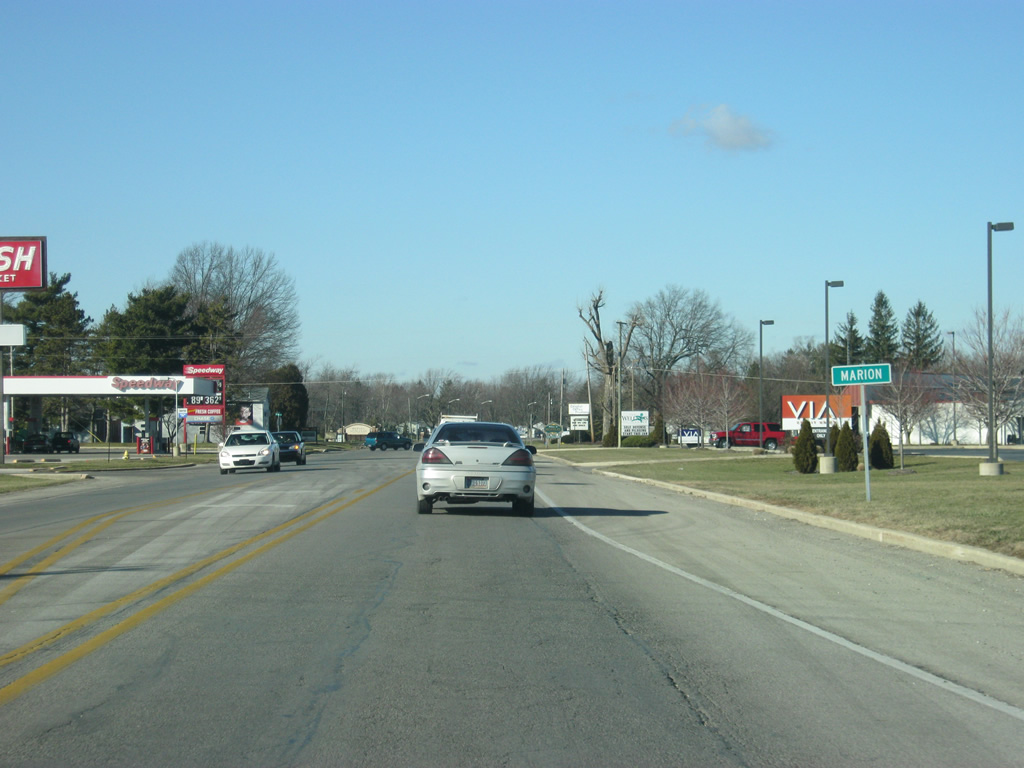
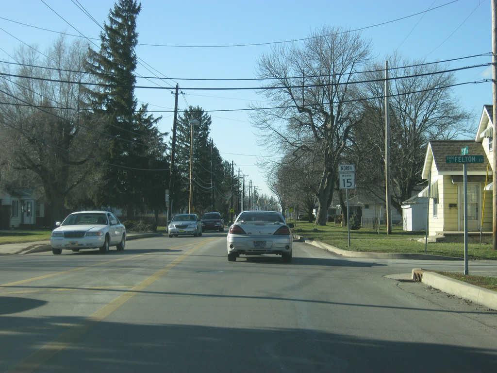
Just southeast of the intersection with Meridian Street, SR 15 enters the city of Marion (population 29,948). Marion is an older industrial city, similar to nearby Anderson and Muncie and is home to the Indiana Wesleyan University. In town, SR 15 follows the path of Adams Street, at least up to 38th Street.
03/05/11
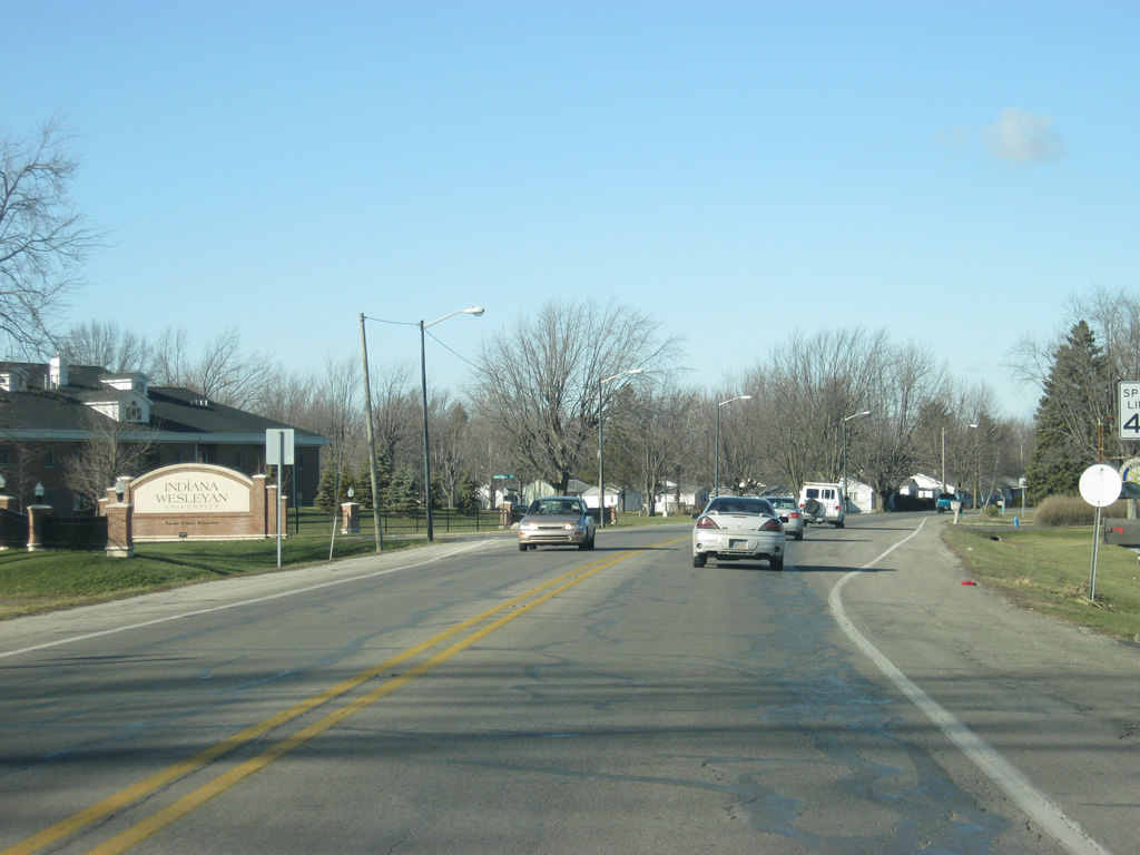
As SR 15 (Adams Street) angles toward the north, it passes University Boulevard, which provides access to Indiana Wesleyan University, the largest evangelical Christian university in the Midwest and the largest private university in the state.
03/05/11
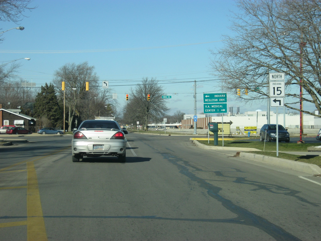
SR 15 (Adams Street) arrives at the intersection with 38th Street, where the state highway turns toward the west. Originally, the highway followed Adams Street north all the way into Downtown Marion, and then it followed Wabash Avenue toward the northwest. Today, the highway utilizes 38th Street to the Marion Bypass (SR 9).
03/05/11
Now heading westerward along 38th Street beyond the Adams Street intersection.
03/05/11
Now at the intersection with SR 15 (38th Street) and Washington Street. Washington Street was where SR 9 and SR 37 were routed through Marion before they were moved to the western bypass and truncated respectively.
03/05/11
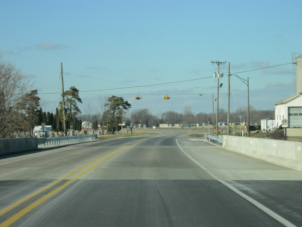
Now approaching the intersection with SR 9 (Western Avenue/Marion Bypass). SR 9 goes for 196 miles from Columbus to the south and through Shelbyville, Greenfield and Anderson before multiplexing with SR 15 for about three miles along the Marion Bypass.
03/05/11
SR 15 turns northward and follows SR 9 around the western side of Marion at the intersection of 38th Street and Western Avenue/Marion Bypass.
03/05/11
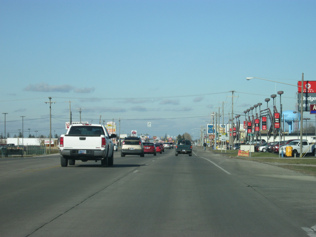
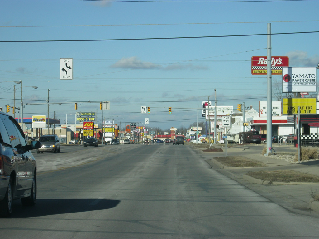
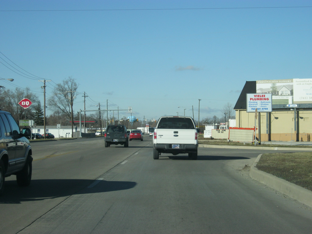
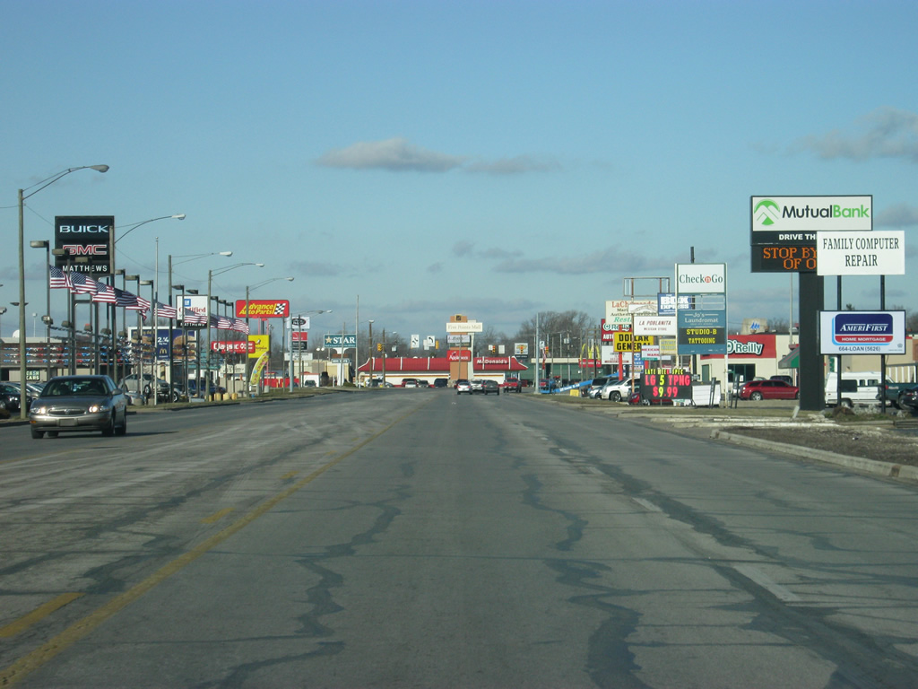
SR 9 and SR 15 multiplex along the Marion Bypass (Western Avenue/Baldwin Avenue) as a variety of retail businesses abut the highways. The Marion Bypass is easily the busiest road in Marion and can be slow going for traffic at certain times.
03/05/11
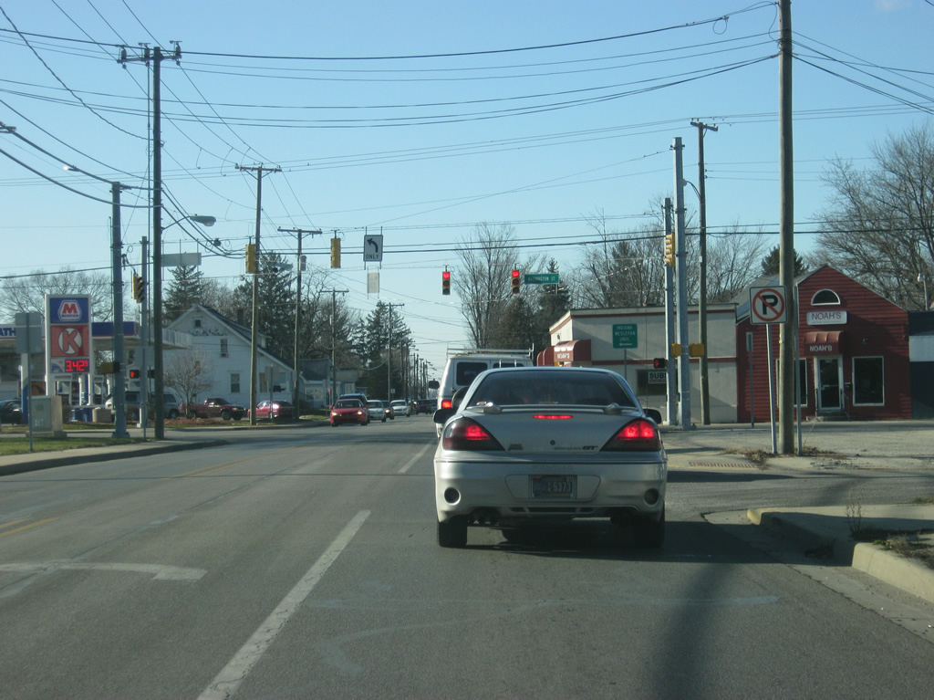
SR 9 & 15 (Marion Bypass/Baldwin Avenue) approach the intersection with SR 18 East (4th Street). Through Marion, SR 18 follows a pair of two-way streets with 4th Street carrying the eastbound traffic and 3rd Street/Delphi Avenue/2nd Street carrying the highway westbound. SR 18 goes for 141 miles from the Illinois border to U.S. 27 in Bryant. The highway goes through Fowler, Delphi, Galveston, Converse, Marion and Montpelier along its route.
03/05/11
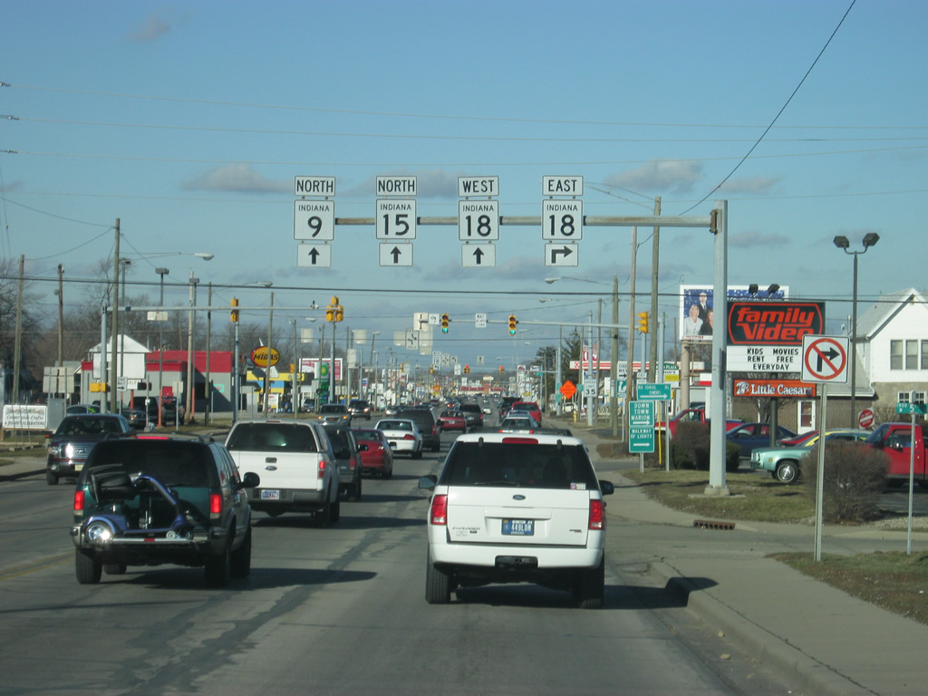
Now at the intersection of SR 9/SR 15 (Marion Bypass/Baldwin Avenue) and SR 18 east (4th Street). Downtown Marion is a mile away to the east, and Interstate 69 is just under eight miles from here.
03/05/11
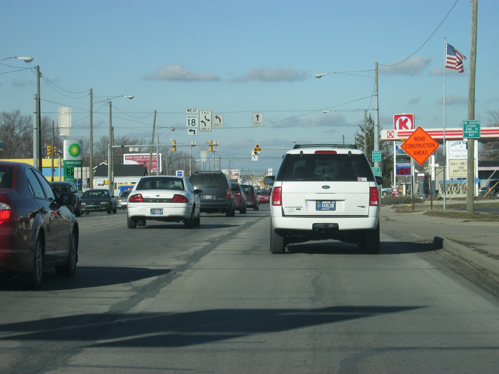
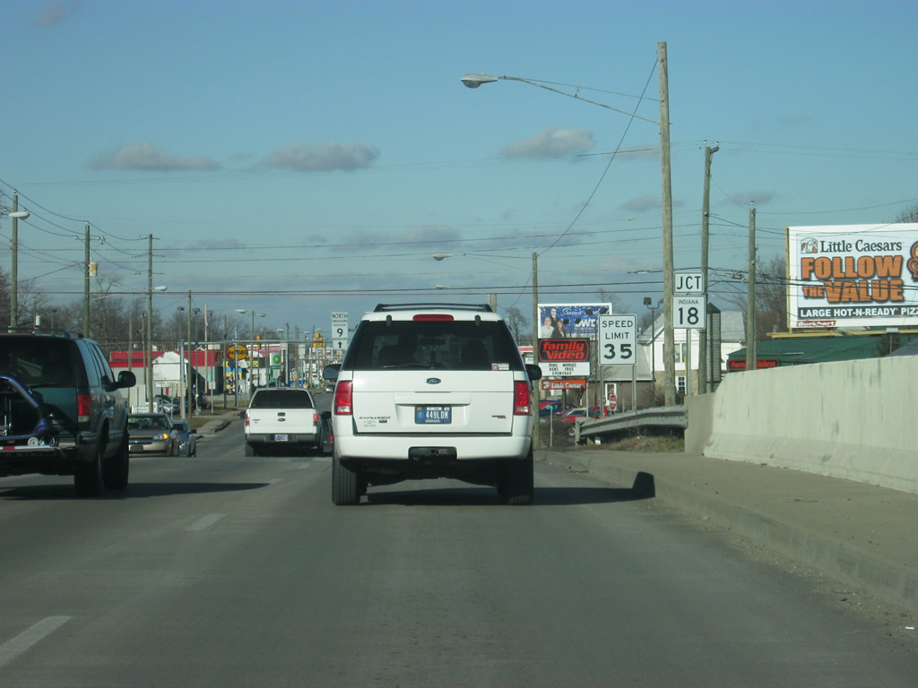
The next stoplight is for SR 18 west, which follows 2nd Street toward the town of Sweester.
03/05/11
Reassurance shields for both SR 15 and SR 9 north of the intersection with SR 18 west (2nd Street).
03/05/11
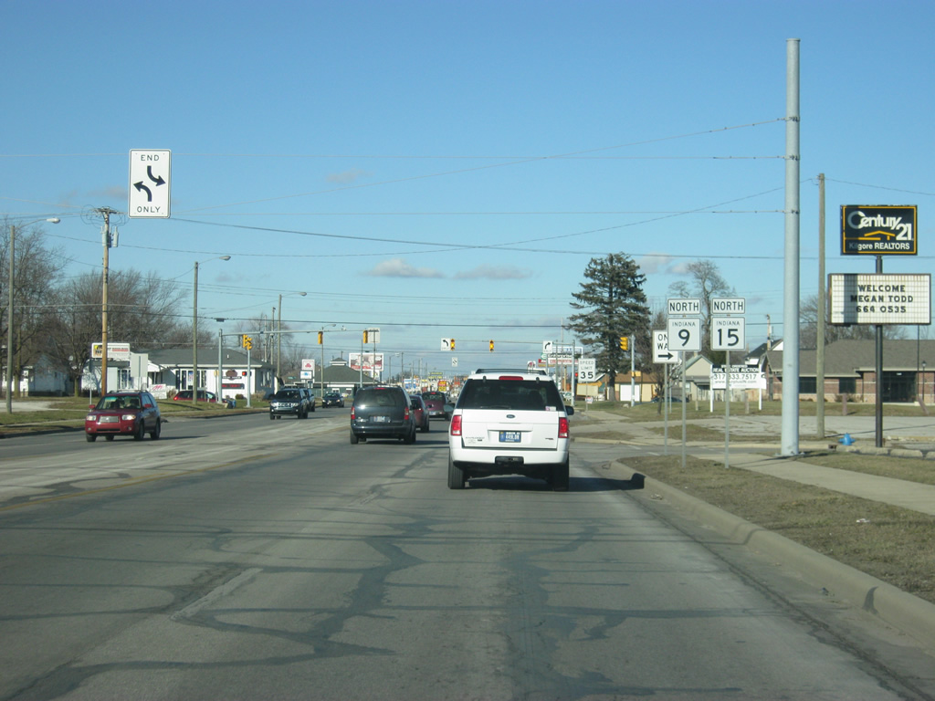
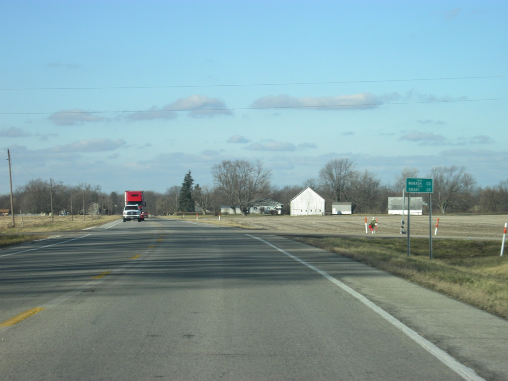
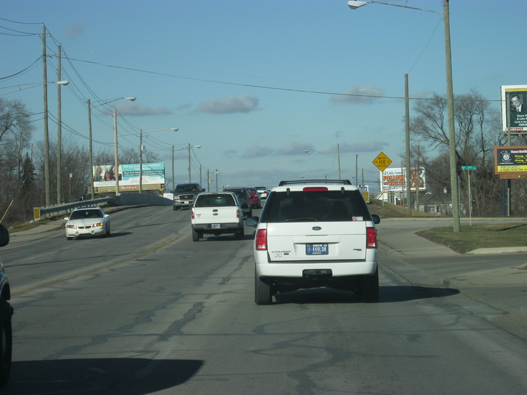
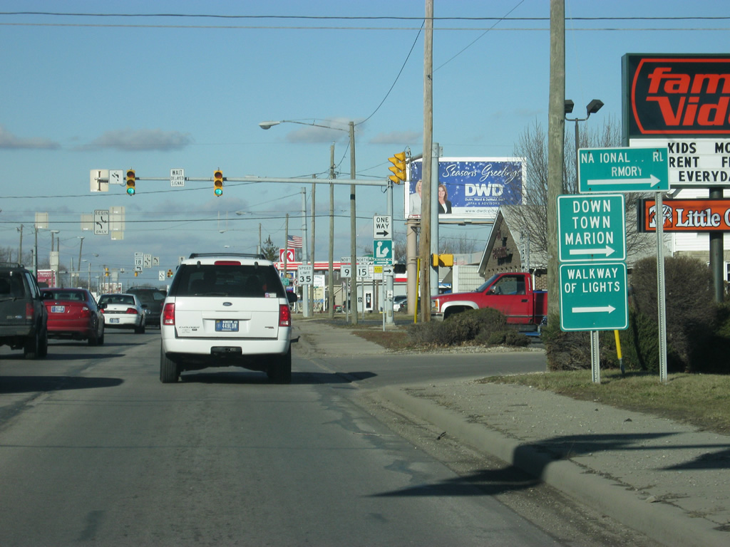
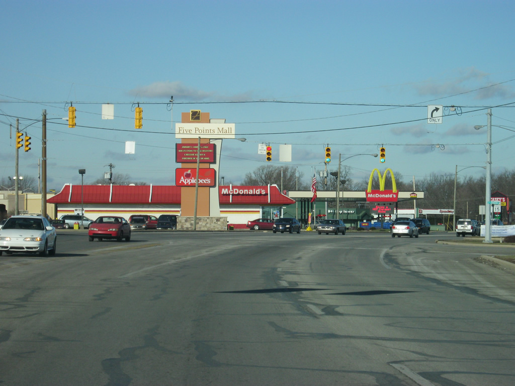
North of SR 18, SR 9/SR 15 (Marion Bypass/Baldwin Avenue) continues north toward the Five Points Mall (formerly North Park Mall), which is the main shopping center for the Marion and Grant County area.
03/05/11
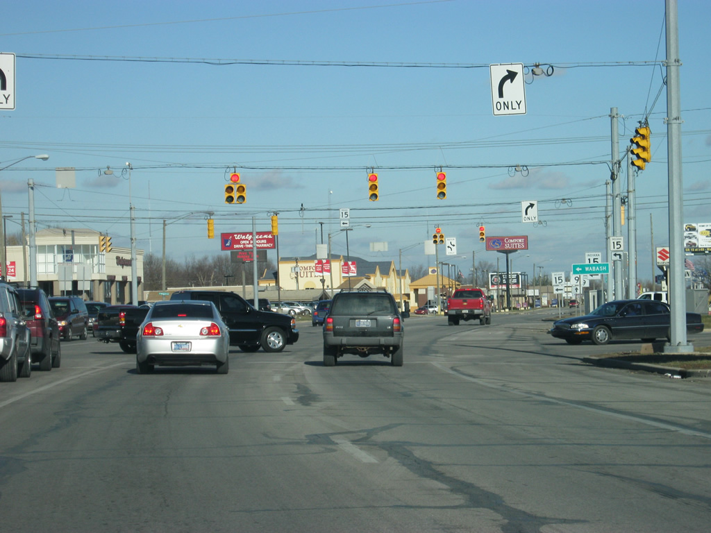
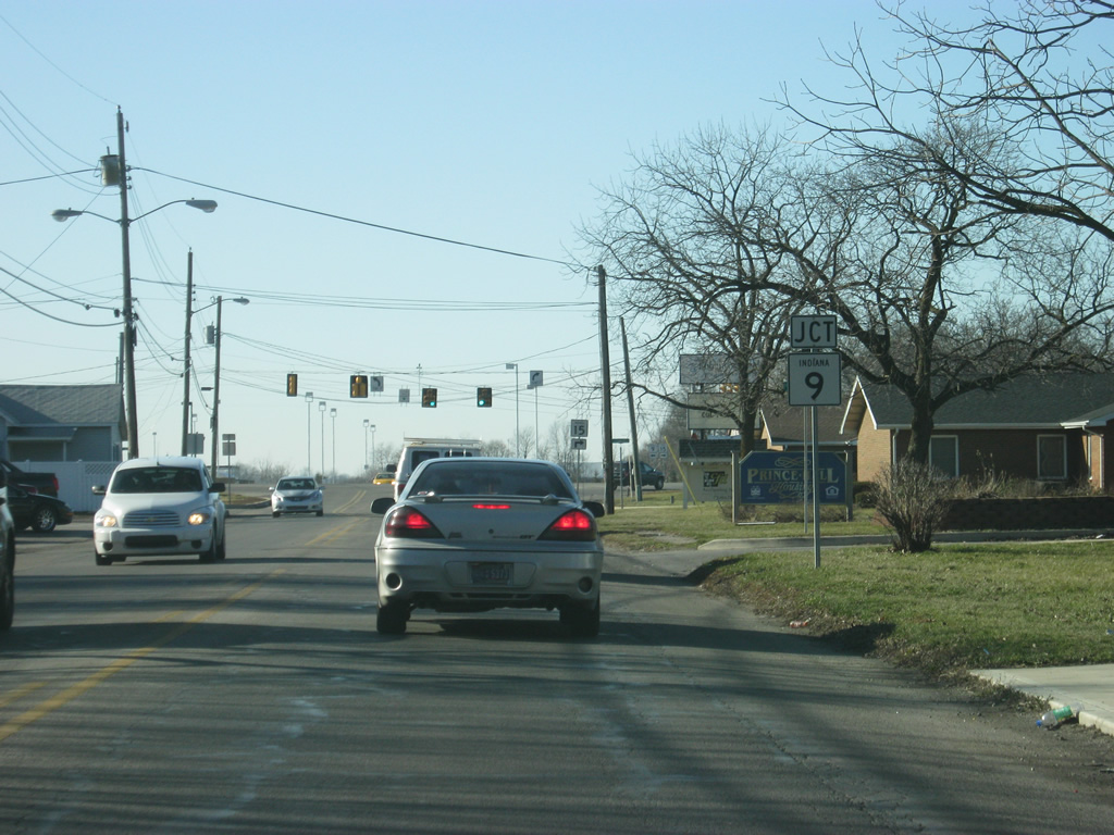
Now at the intersection of SR 9 & 15 (Marion Bypass/Baldwin Avenue) and Kem Road. Just past this stoplight is the intersection with Wabash Avenue, where SR 15 will split to the north toward Wabash, Warsaw and Goshen.
03/05/11
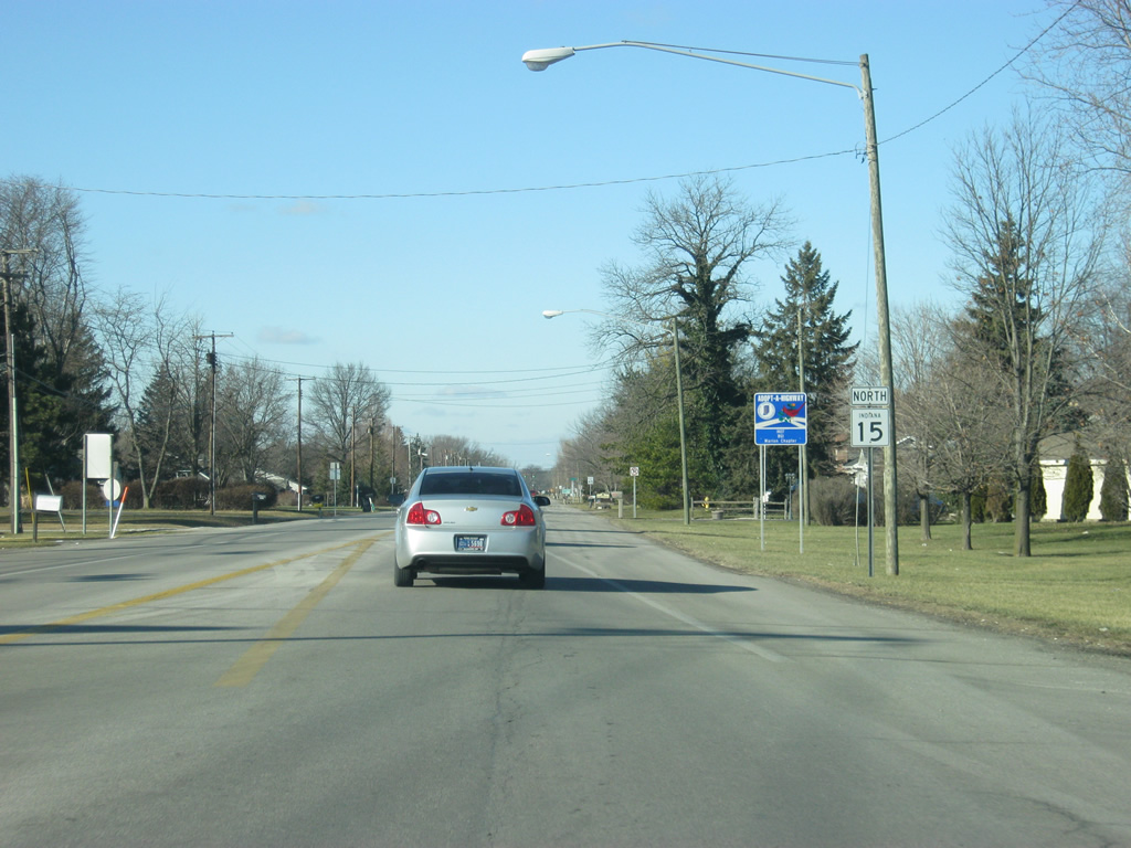
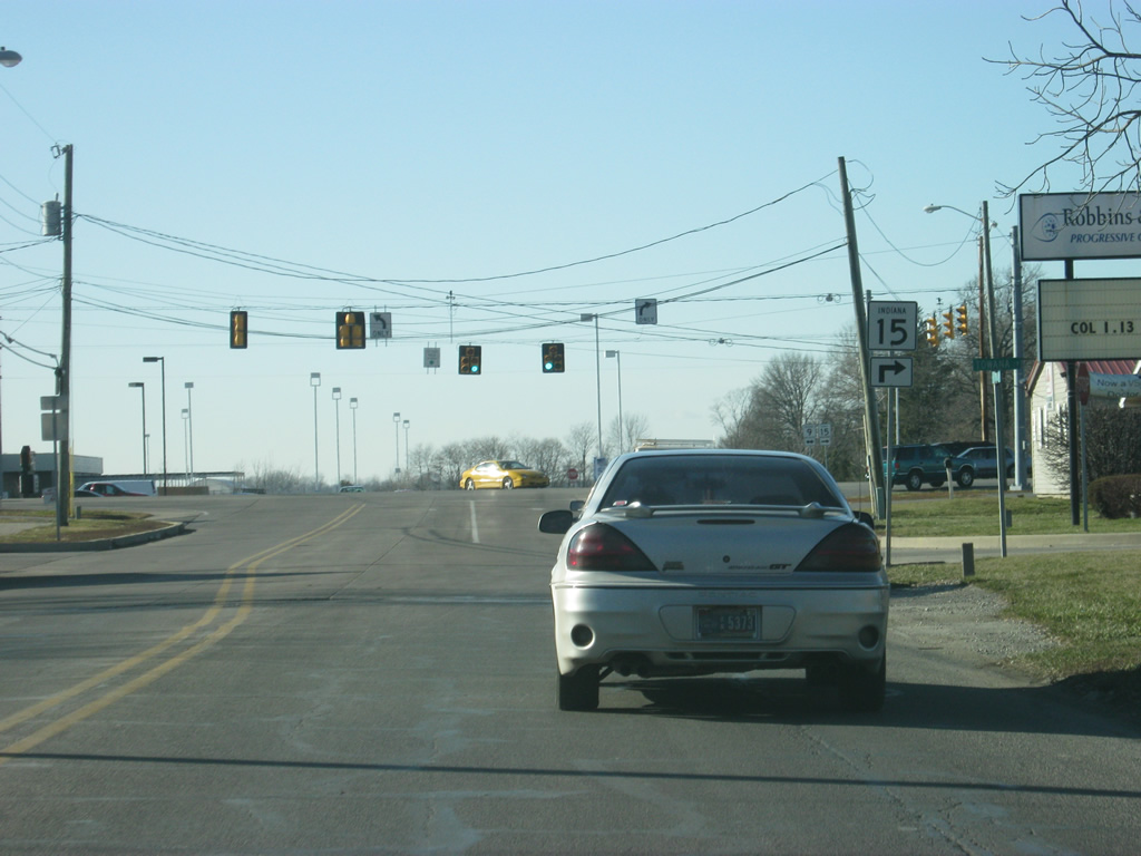
North of the Marion Bypass/Baldwin Avenue, SR 15 is by itself again as it follows Wabash Avenue north out of Marion.
03/05/11
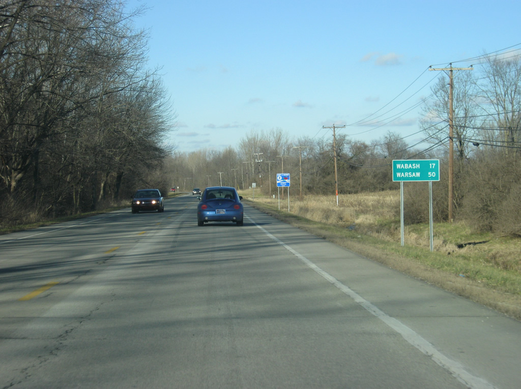
Now outside of Marion, Wabash is 17 miles away and Warsaw is 50 miles.
03/05/11
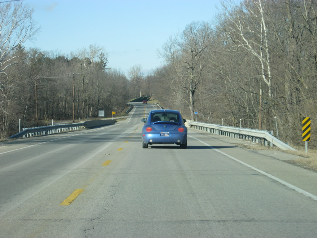
SR 15 north of Marion, crossing the Mississinewa River.
03/05/11
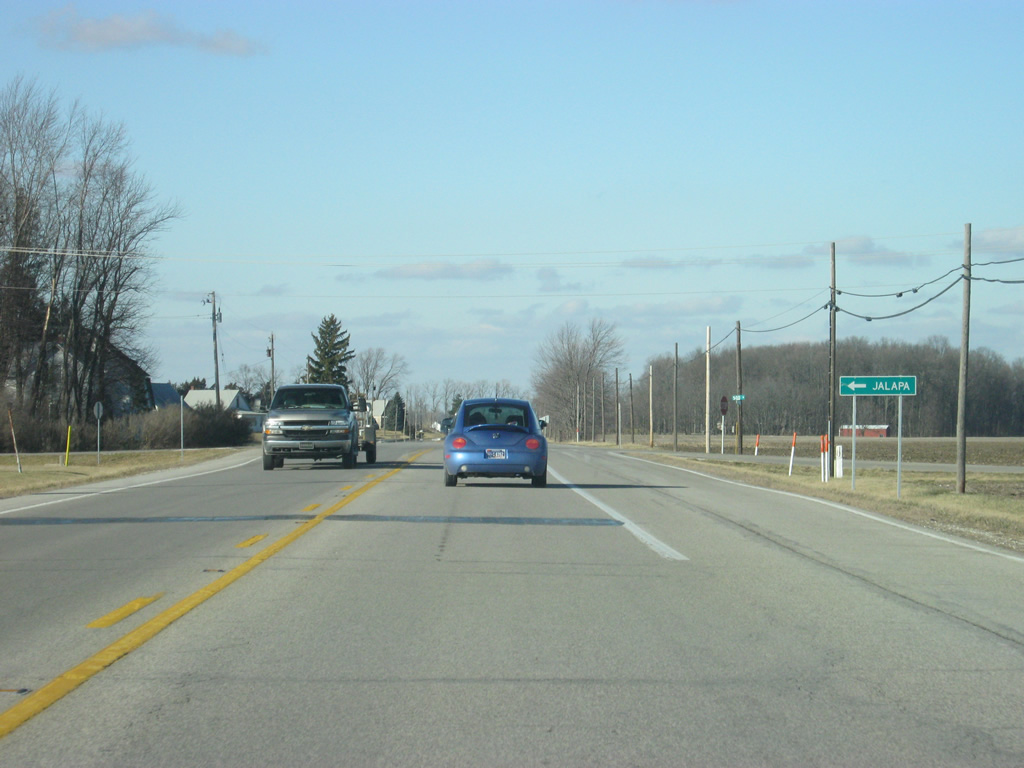
Jalapa a few miles to the west of SR 15, is accessed at the junction with County Road 500.
03/05/11
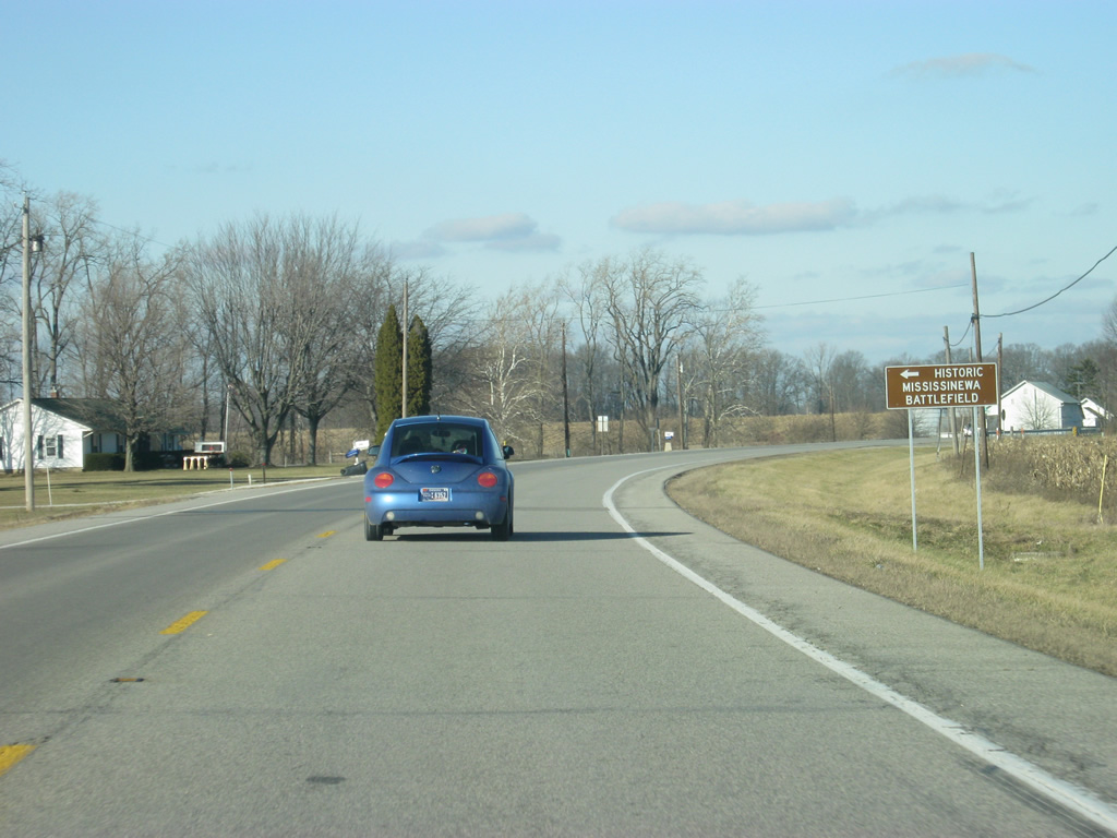
SR 15 meets the junction with County Road 600 North, with leads west to the site of the 1812 Battle of Mississinewa, a battle between the United States and the Miami Indian tribe that today is home of the largest War of 1812 reenactment.
03/05/11
SR 15 crosses into Wabash County (population 32,888).
03/05/11
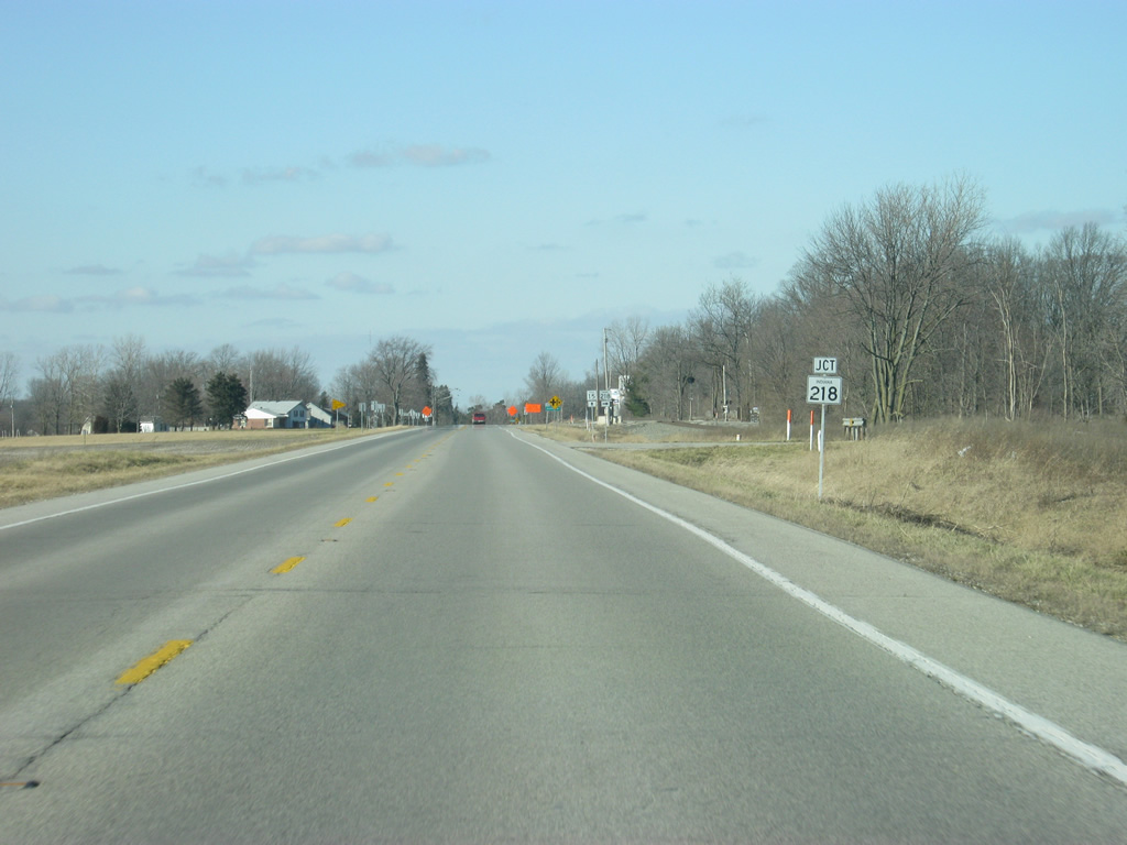
SR 15 approaches the intersection with SR 218 east.
03/05/11
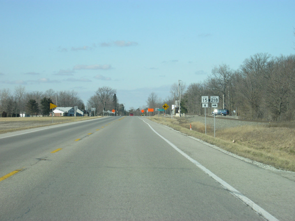
SR 218 goes for over 91 miles in two segments. The eastern 50 mile segment begins here at SR 15 in La Fontaine and heads east toward Warren and Berne before reaching the Ohio border.
03/05/11
Now at the intersection with SR 15 and SR 218 east.
03/05/11

North of the SR 218 East intersection, SR 15 bypasses the town of La Fontaine.
03/05/11
Spanning Grant Creek on a recently reconstructed overpass leading into the intersection with Kendall Street east and County Road 1050 South west.
03/05/11
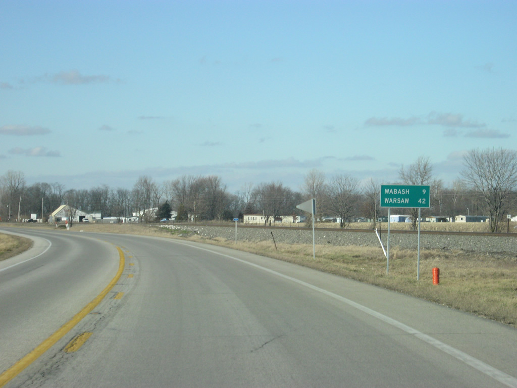
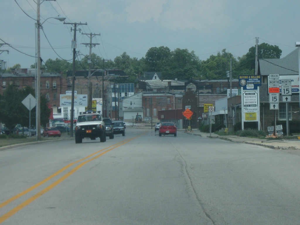
North of La Fontaine, SR 15 is 9 miles from Wabash and 42 miles from Warsaw.
03/05/11
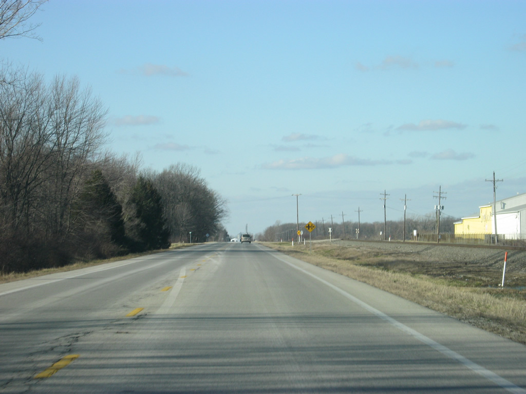
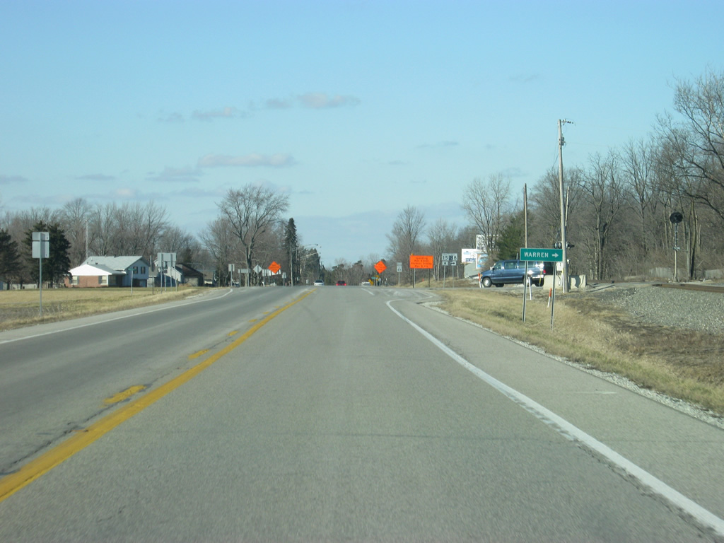
SR 15 travels a straight northwest path in between the towns of La Fontaine and Treaty.
03/05/11
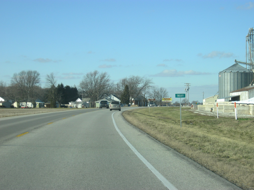
SR 15 passes through the small town of Treaty just to the south of SR 124.
03/05/11
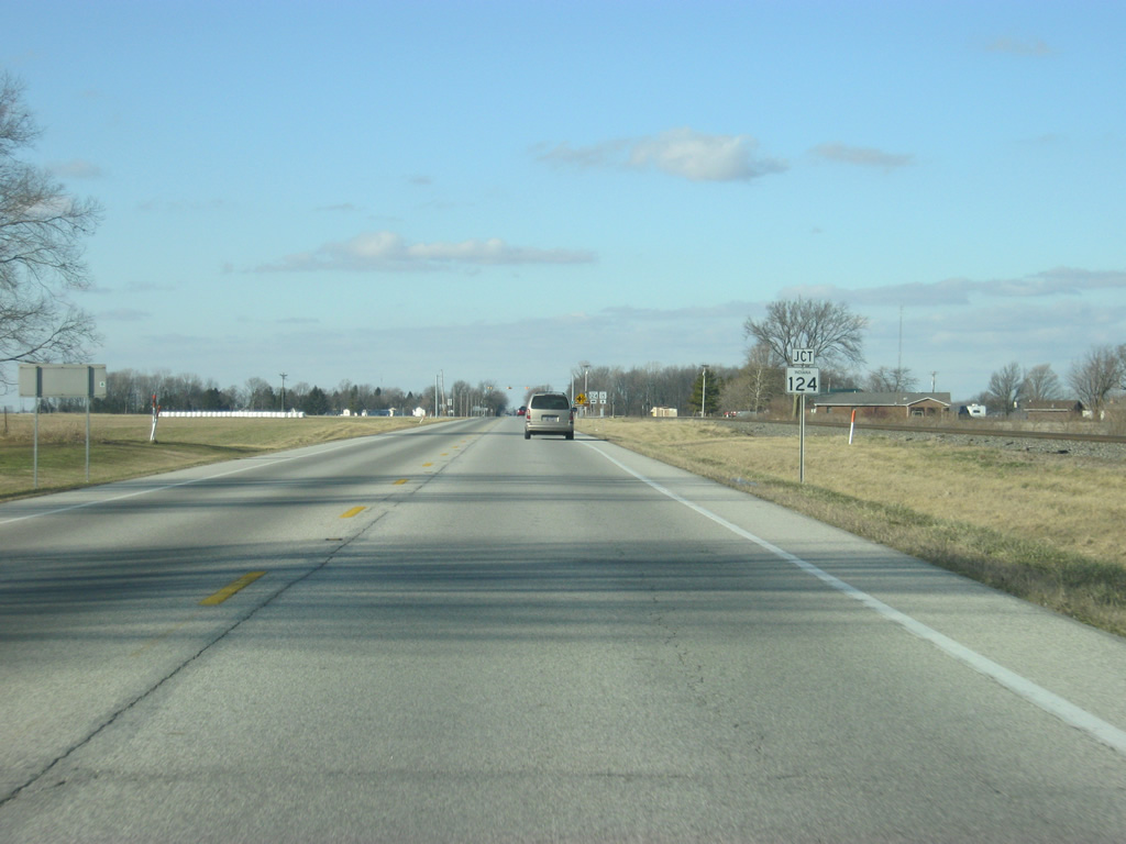
Ahead is the junction between SR 15 and SR 124. SR 124 is a 67 mile highway that goes from Peru to Bluffton and the Ohio border.
03/05/11
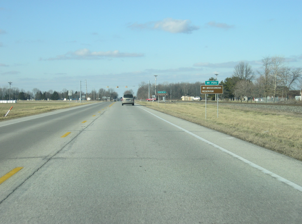
Mississinewa Reservoir can be reached by taking SR 124 to the west.
03/05/11
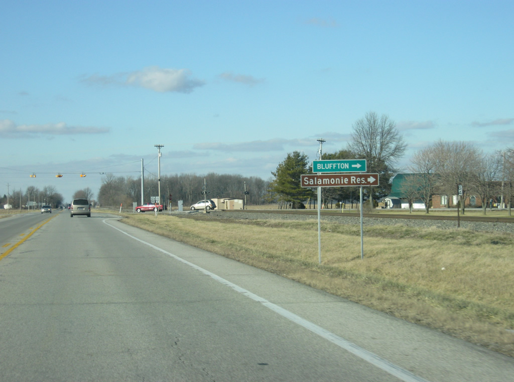
Salamonie Reservoir can be reached by taking SR 124 to the east.
03/05/11
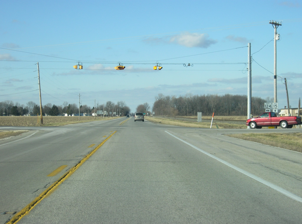
A flasher light marks the intersection between SR 15 and SR 124.
03/05/11
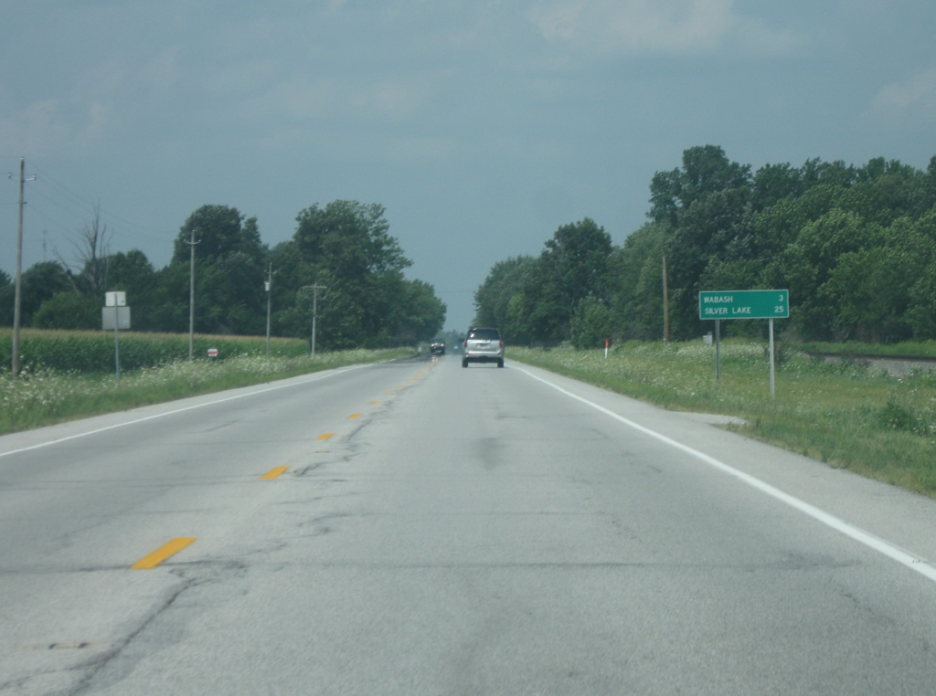
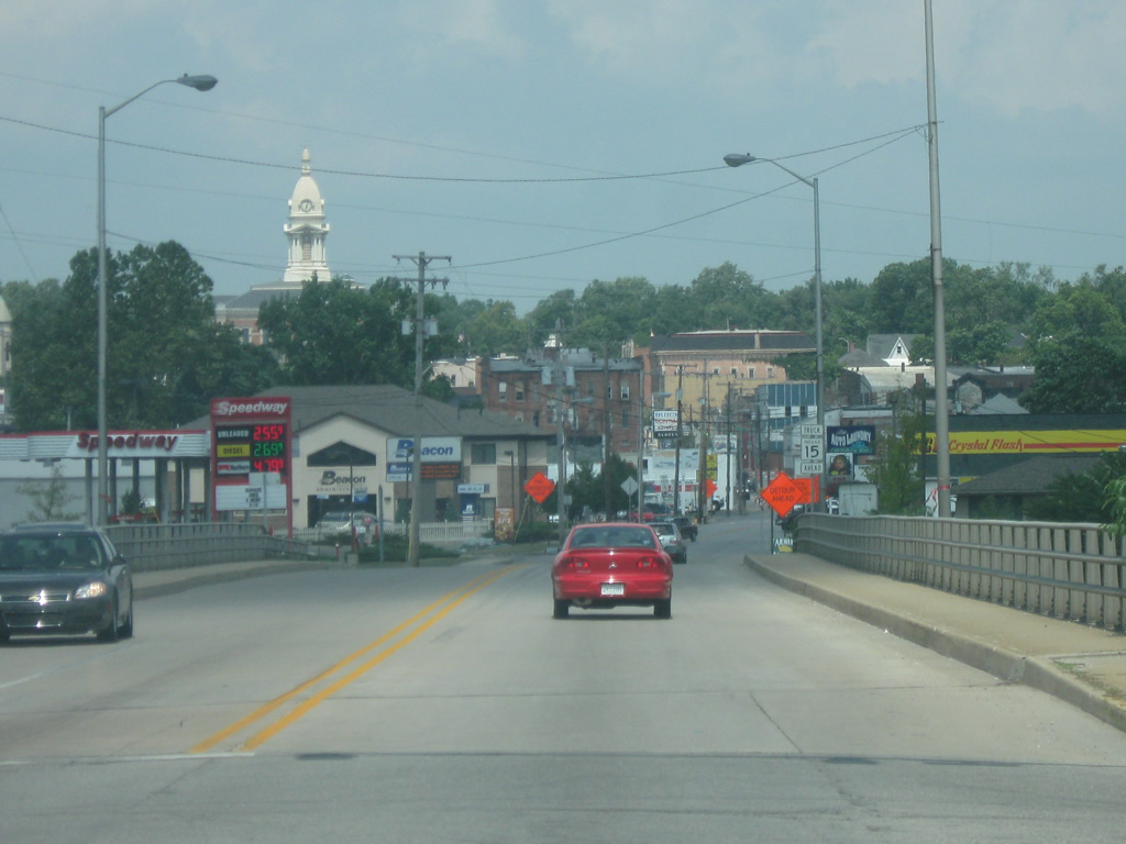
North of the intersection with SR 124, Wabash is a mere three miles away with Silver Lake at 25 miles away.
08/16/09
SR 15 turns toward the north as it nears the city limits of Wabash.
08/16/09
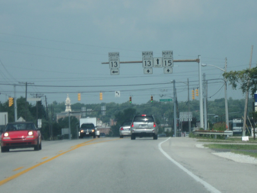
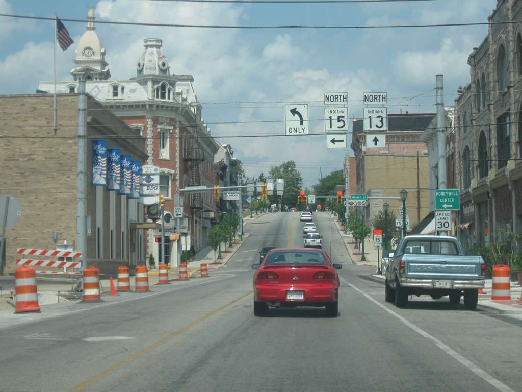
SR 15 finally reaches the county seat of Wabash County, Wabash (population: 10,666). Here, SR 13 meets up with SR 15 for multiplex through Wabash. To the south, SR 13 goes through Swayzee and Elwood before ending in Fortville.
08/16/09
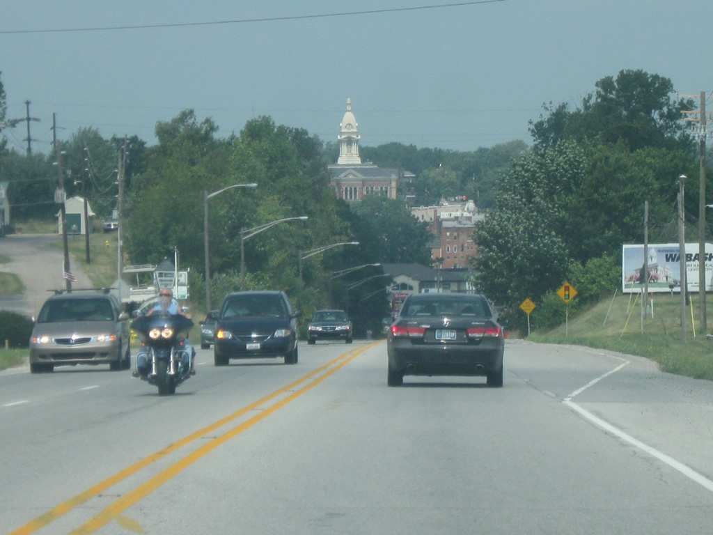
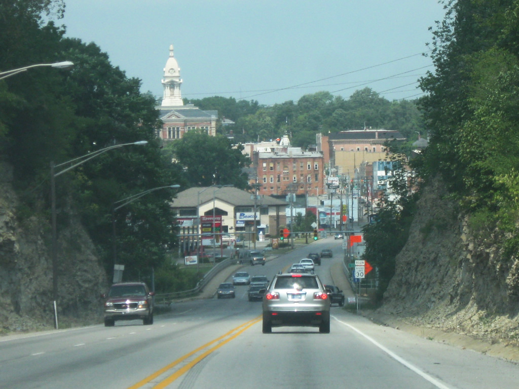
SR 15/SR 13, locally known as Wabash Street, heads down into the Wabash River valley in a dramatic fashion through rock cuts with the Wabash County courthouse looming in the distance. Wabash's claim to fame is that it was the first electrically lighted city in the world, being first lighted in 1880.
08/16/09
SR 13 & 15 (Wabash Street) cross the Wabash River, Indiana's state river and Wabash's namesake.
08/16/09
Across the Wabash River, SR 15/SR 13 heads through older industrial areas that are within the floodplain of the Wabash River on the approach to Downtown Wabash.
08/16/09
SR 15/SR 13 (Wabash Street) climbs uphill into central Wabash. The Wabash Street area contains several historic buildings that form part of the downtown.
08/16/09
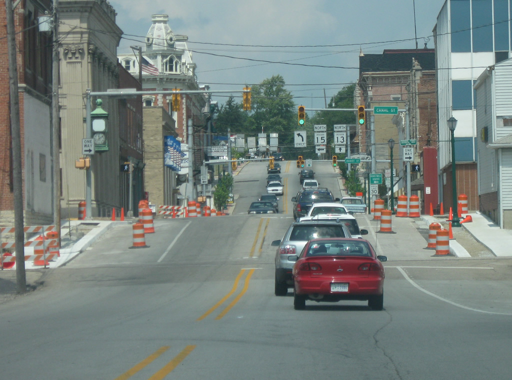
Wabash Street approaches the intersection with Market Street, which carries SR 15 North for two blocks to the west before the state road turns north along Cass Street. SR 13 resumes its 138 mile trek along Wabash Street toward North Manchester, Syracuse and the Michigan border.
08/16/09
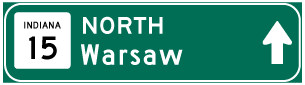

Photo Credits:
- Thomas Decker: 08/16/09, 03/05/11
Connect with:
Page Updated Monday April 23, 2012.