
State Road 46 East - Bartholomew County

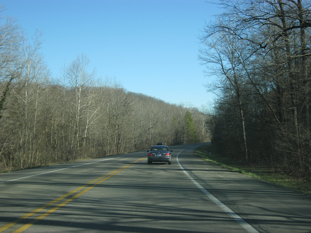
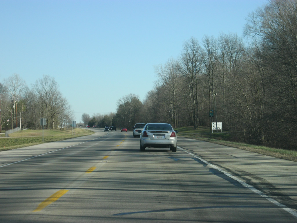
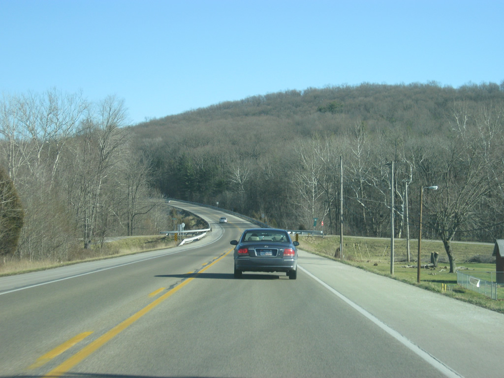
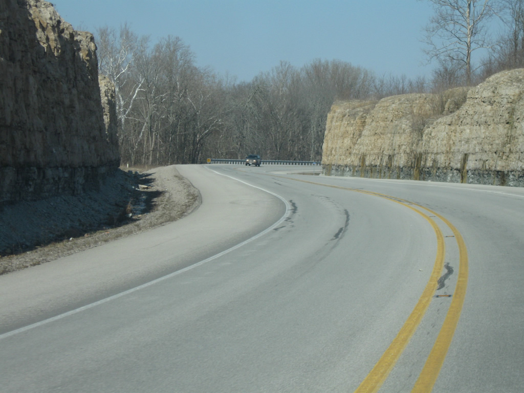
East of the county line, SR 46 retains its rural appearance as it winds through some more hills from Stony Lonesome to Dowell Hill. The state road leaves the rugged terrain on the approach to the Columbus area. This stretch of highway replaced Old Nashville Road, an older alignment of SR 46 through western Bartholomew County.
12/29/11

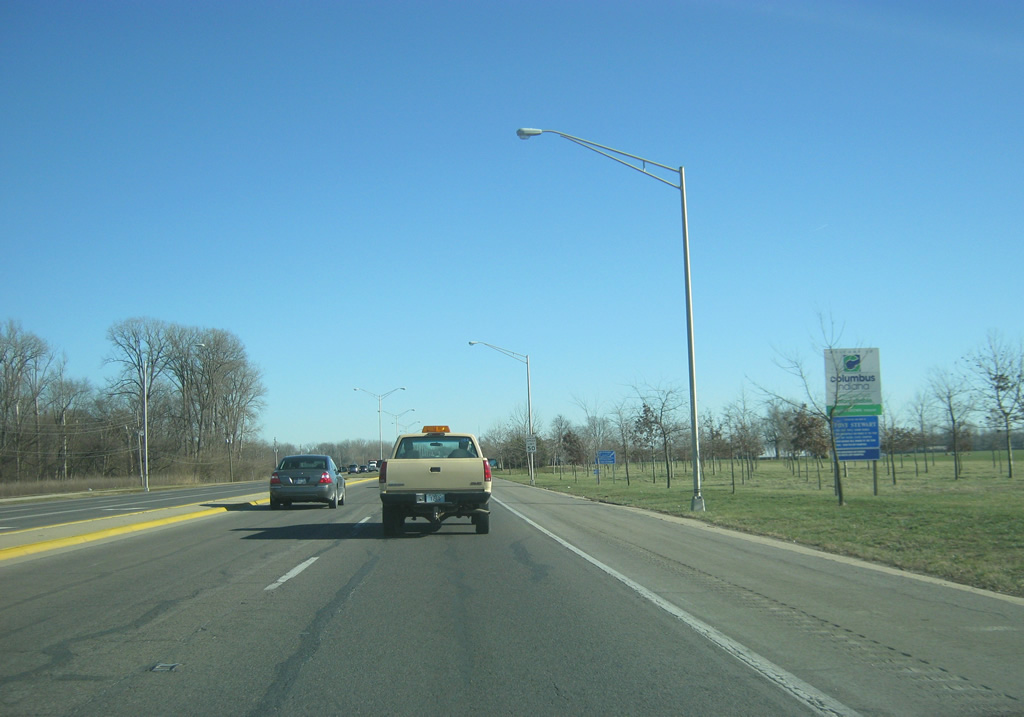
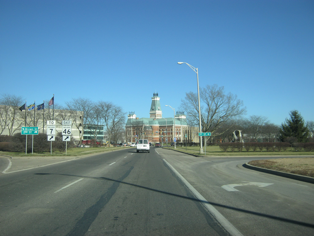
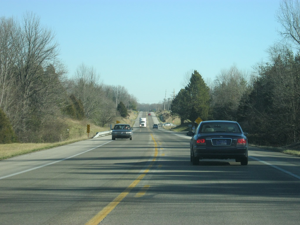
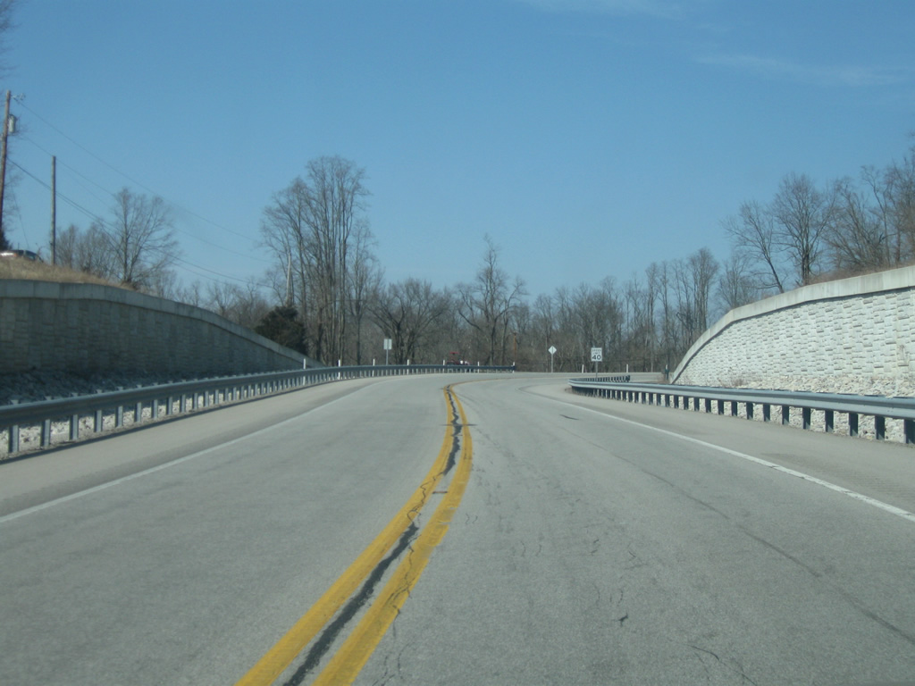
SR 46 starts to see some development after County Road 500 West north to the Camp Atterbury complex. Pictured here is the intersection with Tipton Lakes Boulevard, an entrance road to a large scale development south of Goeller Road. SR 46 along this stretch is called Jonathan Moore Pike.
12/29/11
A reassurance shield for SR 46 (Jonathan Moore Pike) posted as it approaches the first stoplight since Nashville, at Rocky Point Road / Pine Ridge Drive. The roads serve a shopping center and apartment complex that are part of the new suburban growth to the west of Columbus.
12/29/11
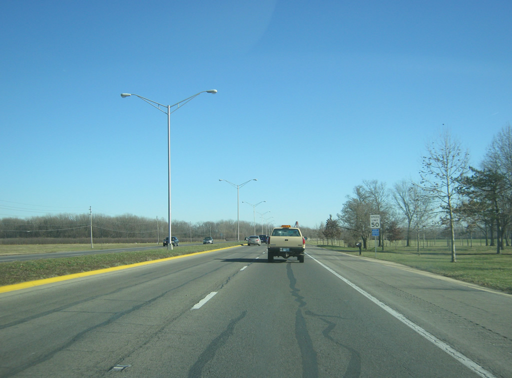
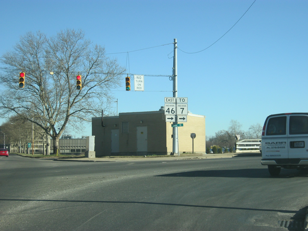
SR 46 (Jonathan Moore Pike) expands to four lanes east of the Rocky Point Road / Pine Ridge Drive intersection. Up ahead is the next stoplight for Goeller Boulevard.
Goeller Boulevard provides quick access from several upscale subdivisions to SR 46 (Jonathan Moore Pike) and Interstate 65.
12/29/11
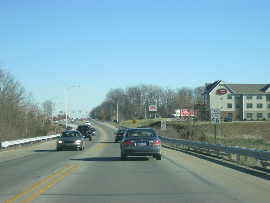
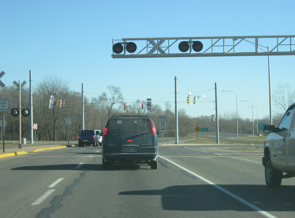
East of the Goeller Boulevard intersection, SR 46 (Jonathan Moore Pike) enters a stretch of highway-oriented retail as the interchange with Interstate 65 now looms ahead.
12/29/11

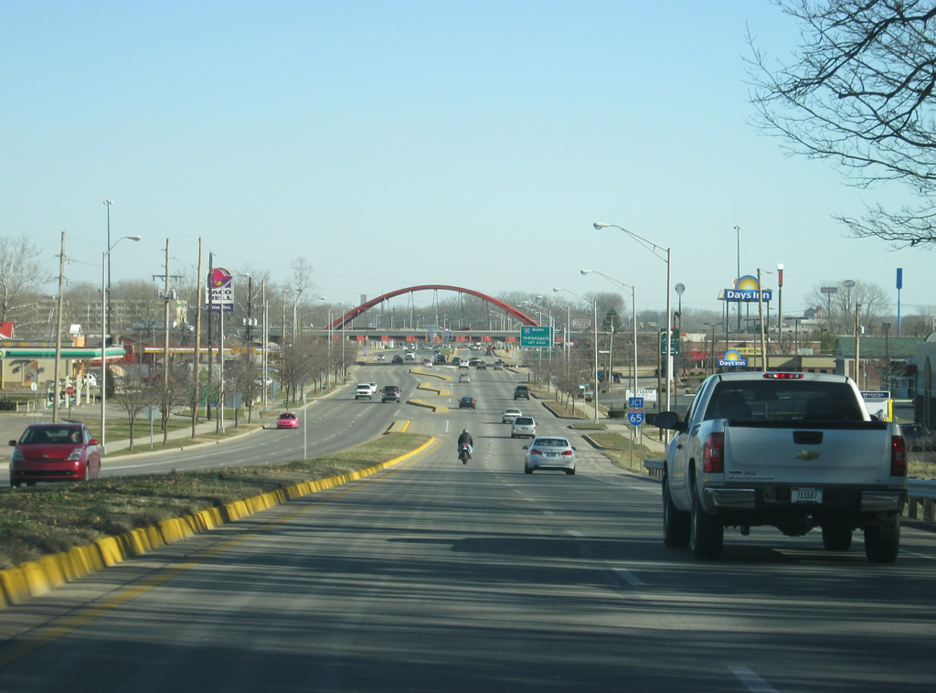
Interstate 65 totals 887.3 miles overall, from here north to Indianapolis and Gary and south to Louisville, Nashville, Birmingham, Montgomery and Mobile, Alabama.
12/29/11
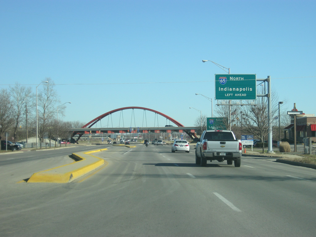
Traffic bound for Interstate 65 north toward the capital city of Indianapolis, along with the communities of Edinburgh, Franklin, Greenwood, Lebanon, Lafayette and the greater Chicago area are directed to stay in the left lanes as SR 46 (Jonathan Moore Pike) approaches the Single-Point Urban Interchange (SPUI) with Interstate 65.
12/29/11
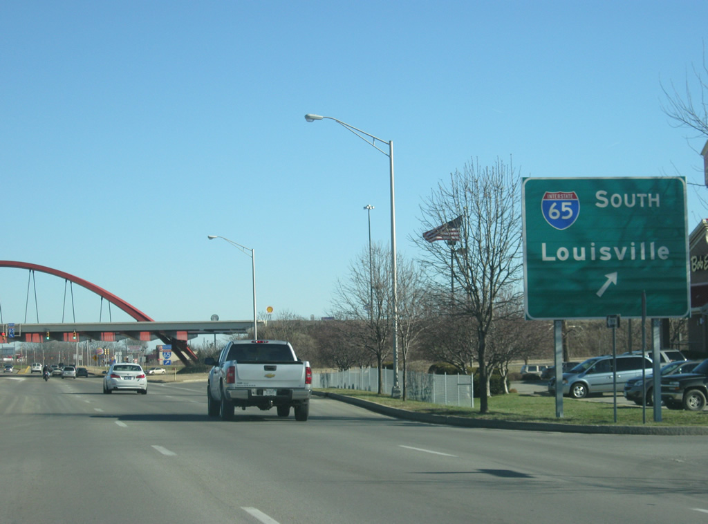
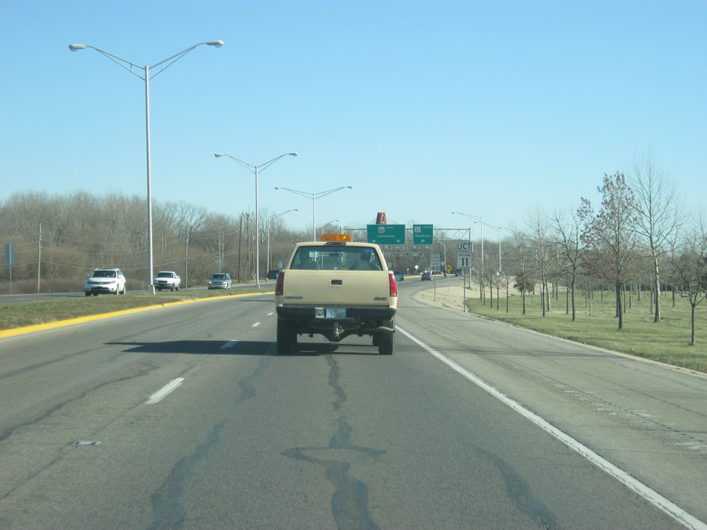
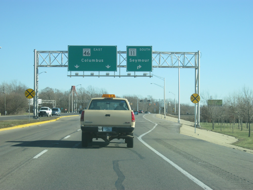
Traffic bound for the communities of Seymour, Scottsburg and the Ohio River city of Louisville, Kentucky are directed toward the right as SR 46 enters the interchange.
12/29/11
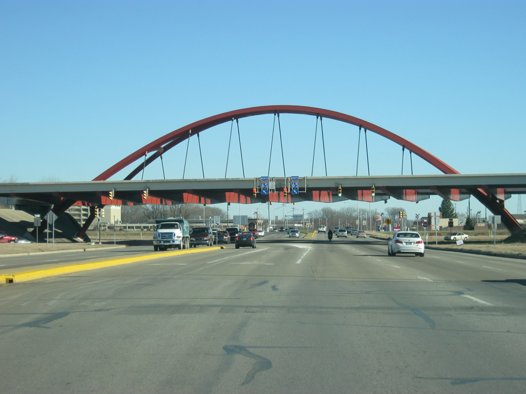
A twin-ribbed arch bridge marks the SPUI interchange between SR 46 (Jonathan Moore Pike) and Interstate 65. The interchange was originally built as a diamond interchange, but was changed into a SPUI interchange, then the first in Indiana, in 1996. The decorative arch feature was added because of the fact that Columbus's claim to fame is its architectural diversity. In a ranking of cities by the American Institute of Architects, Columbus was ranked sixth for its innovations in architecture and design. Officially, this bridge is known as the Front Door Bridge.
12/29/11
Now east of the interchange with Interstate 65, SR 46 (Jonathan Moore Pike) continues as a four to six lane highway east toward the city of Columbus. Even the stoplights around this stretch were built with a certain architectural style to welcome visitors into the city off the interstate. Everything from the Interstate 65 interchange eastward toward the Second Street Bridge in the city was part of the Columbus Front Door Project, which sought to create an attractive gateway for visitors.
12/29/11
For the next mile, SR 46 (Jonathan Moore Pike) traverses through mostly floodplains as it approaches the junction with SR 11 south and the bridges over the East Fork of the White River. Severe flooding in 2008 left this area covered by river floodwaters, severing Columbus from the interstate for a few days.
As mentioned previously, Columbus (population 44,061) is famous for its architectural design. This distinction started from the Cummins Engine Company, who brought in architects to design various public buildings such as schools and churches as well as sculptures throughout the city. All of these have given Columbus the nickname of "Athens of the Prairie."
12/29/11
SR 46 (Jonathan Moore Pike) approaches the intersection with SR 11 south. The tree line to the north marks the edge of the Driftwood River, which merges with the Flatrock River to form the East Fork of the White River.
12/29/11
SR 11 exists in two segments, the northern one goes for 26 miles from SR 46 south through Seymour, ending at SR 250 in Jackson County. The southern segment goes for 30 miles through Floyd and Harrison Counties.
12/29/11
A right turn lane directs traffic onto SR 11 south toward Seymour while the left two lanes continue east along SR 46 into Downtown Columbus. Originally, SR 11 continued across the East Fork of the White River, where it followed a path north toward U.S. 31. Because of this, the highway was at one time known as U.S. 31A. In 1999, the segment of SR 11 from U.S. 31 to SR 46 was decommissioned.
12/29/11
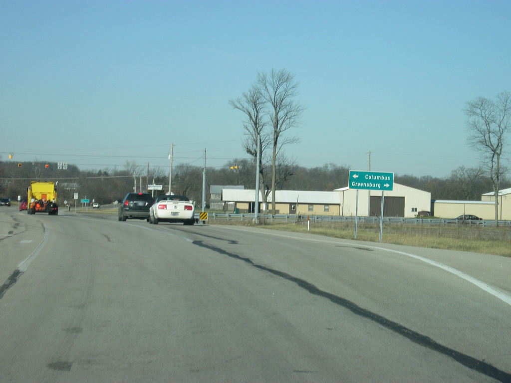
SR 46 separates into a one way street couplet from SR 11 east into Downtown Columbus. The Louisville & Indiana railroad crosses the highway at the split it continues south along the path of SR 11.
12/29/11
Now east of the intersection with SR 11 south, the eastbound lanes of SR 46 loop toward a new crossing into the city of Columbus, the Second Street Bridge. Traffic bound for northbound Brown Street is advised to stay left while traffic continuing east along SR 46 joins 2nd Street. SR 11 used to follow Brown Street north to Indianapolis Road, where it continued north to U.S. 31.
12/29/11
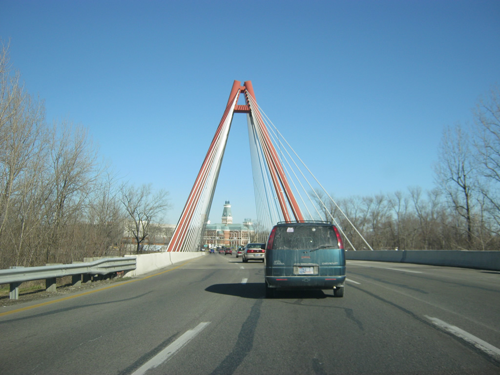
Now crossing the Second Street Bridge into Downtown Columbus. Opened in 1999, the Second Street Bridge is a cable-stayed bridge that spans the East Fork of the White River. The bridge provides a gateway feature into Downtown Columbus and was built to frame the Bartholomew County Courthouse as a focal point for drivers crossing the span. Until the bridge's completion, all SR 46 traffic went across on the 3rd Street Bridge, which today carries only the westbound traffic.
12/29/11
The Bartholomew County Courthouse, along with the Bartholomew County Memorial of Veterans, loom in the distance as SR 46 crosses the Second Street Bridge. SR 46 consists of a one way couplet through Downtown Columbus with 2nd Street carrying the eastbound lanes and 3rd Street carrying the westbound lanes.
12/29/11
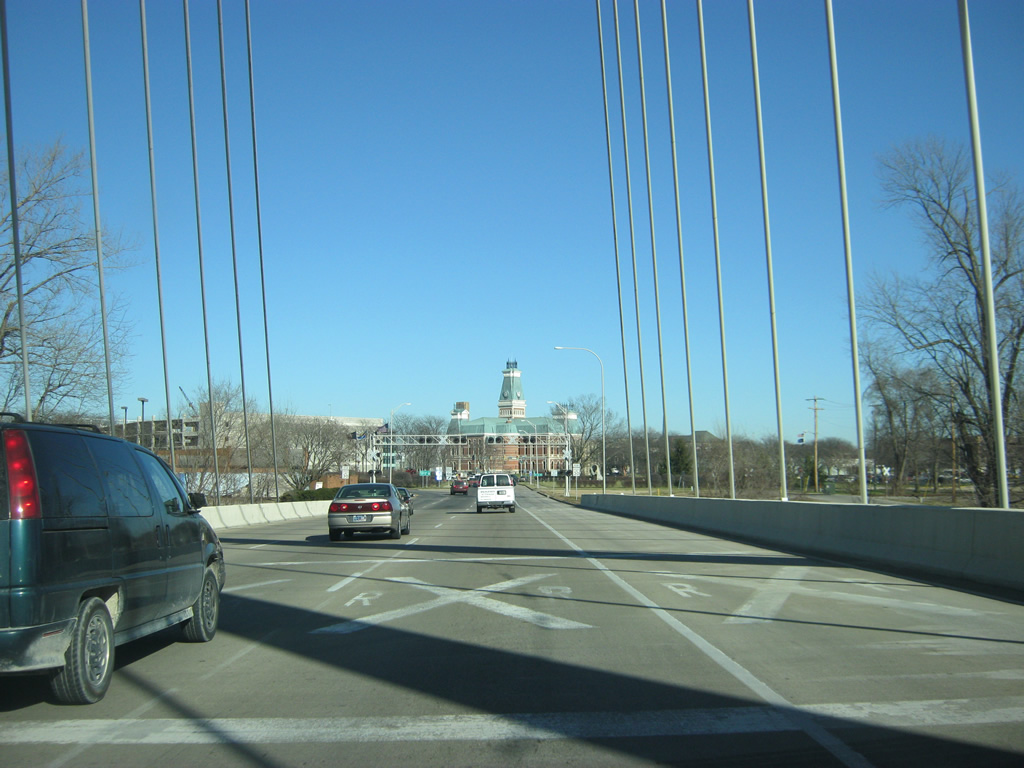
Past the Second Street Bridge, SR 46 follows the two center lanes eastward onto 2nd Street while the left lane forms the northbound beginning of Brown Street (old SR 11).
Until 2004, SR 46 followed a path that took the highway north along Brown Street (along with the southbound Lindsay Street) north to 11th Street. From there, the highway followed Washington Street north to 25th Street. SR 46 then followed 25th Street east all the way to SR 9, where it currently picks up with the present SR 46. The highway was rerouted to the south and east of Columbus, as shown in the following pictures.
12/29/11
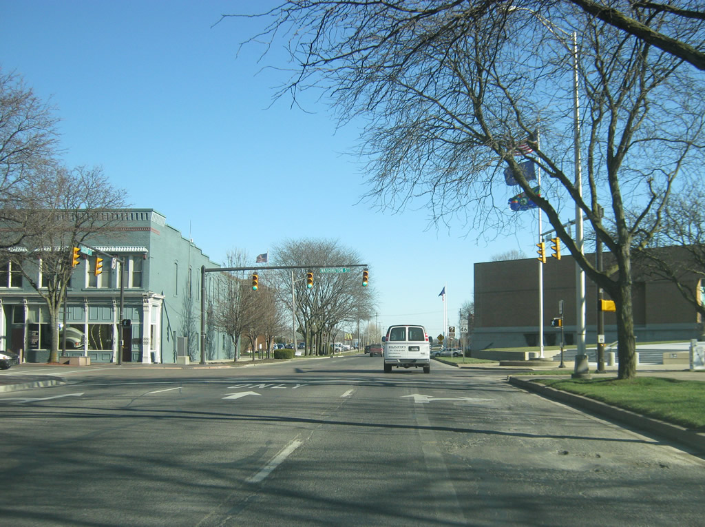
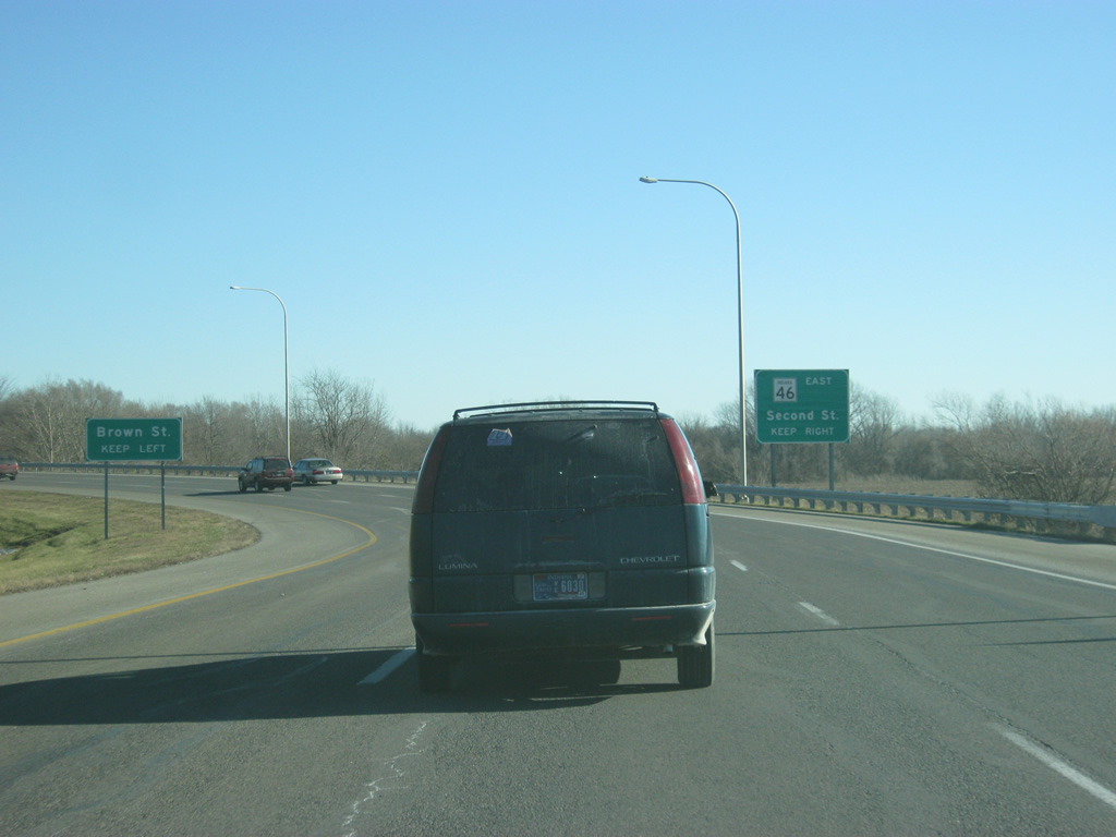
2nd Street (SR 46) begins its trek eastward across the southern part of Downtown Columbus. The first stoplight is with Washington Street, which heads north to U.S. 31, partly as old SR 46. SR 7 used to end in Downtown Columbus before SR 46 was rerouted along its corridor east to U.S. 31.
12/29/11
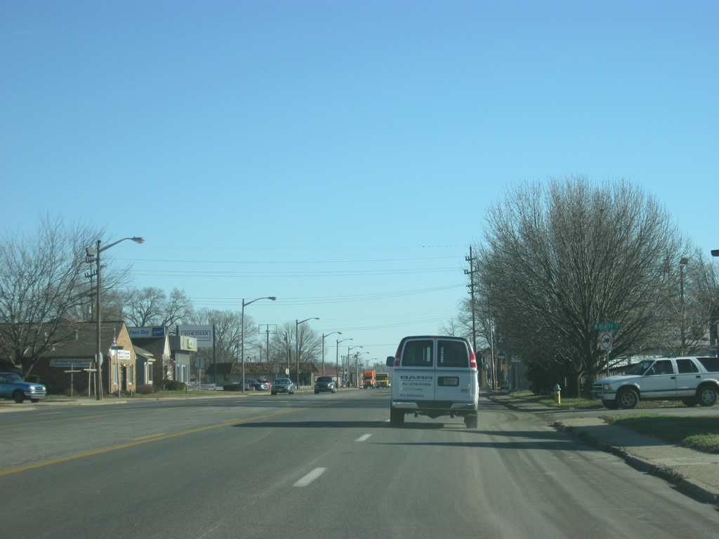
Reassurance shields line both sides of SR 46 (2nd Street) east of Lafayette Avenue by Downtown Columbus. Until 2004, SR 7 was the sole route along this stretch. Despite the reroute, SR 46 still goes through Columbus, but only the southern part of the city as opposed to the northern and eastern parts.
12/29/11
Now coming up to the 2nd Street intersection with Central Avenue and State Street. SR 46 turns onto State Street to the southeast while 2nd Street continues to the east to become Central Avenue. The westbound lanes of Central Avenue and State Street both form the westbound lanes of 3rd Street, carrying SR 46 to the west.
12/29/11
2nd Street continues east onto Central Avenue, which turns toward the north and becomes the main north-south arterial across Columbus. SR 46 makes a right toward State Street with signs directing traffic "to" SR 7, whereas it was previously that SR 7 made this right turn itself.
12/29/11
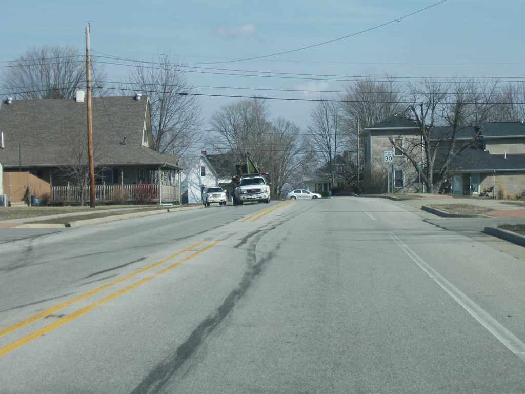
SR 46 east along State Street at Beatty Street. The road was rebuilt to be four lanes with a center turn lane throughout the south side of Columbus. Several industrial centers are present along the south side of the state road ahead.
12/29/11
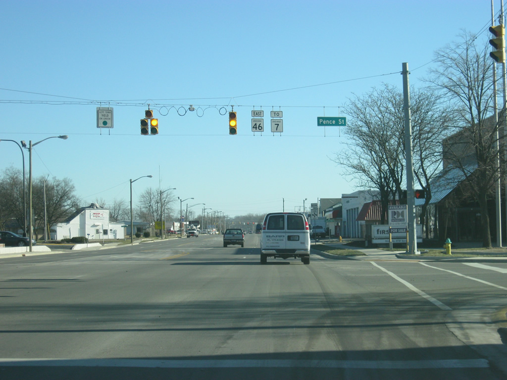
Pence Street north and Mapleton Street south come together at SR 46 (State Street) and this traffic light.
12/29/11
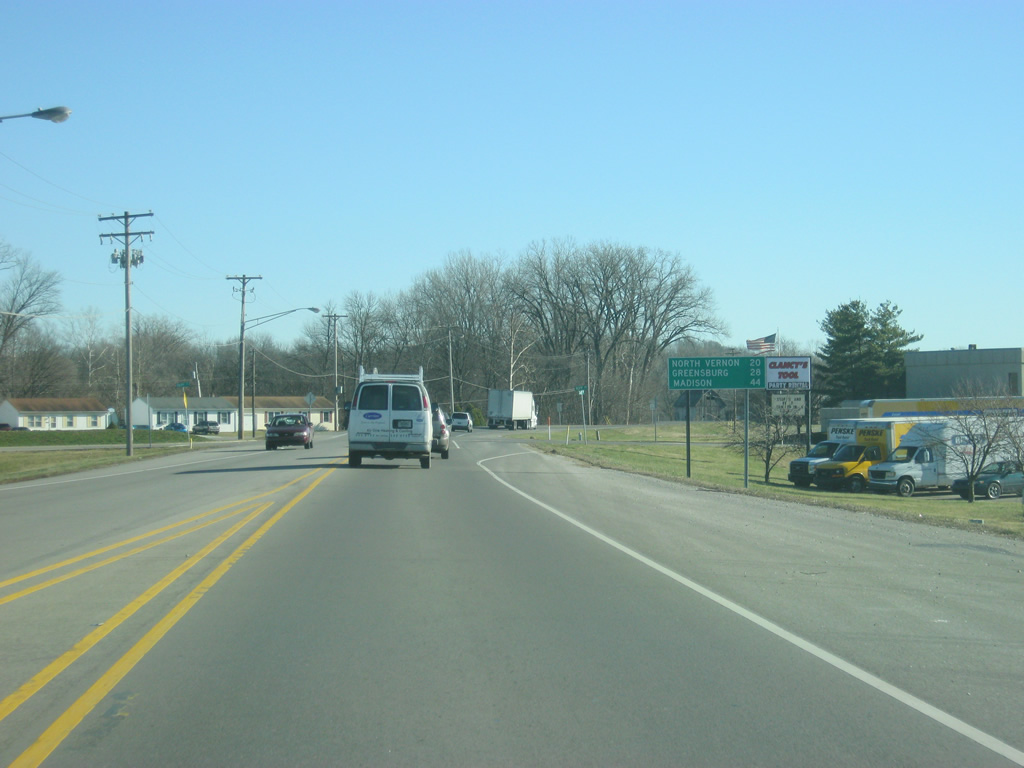
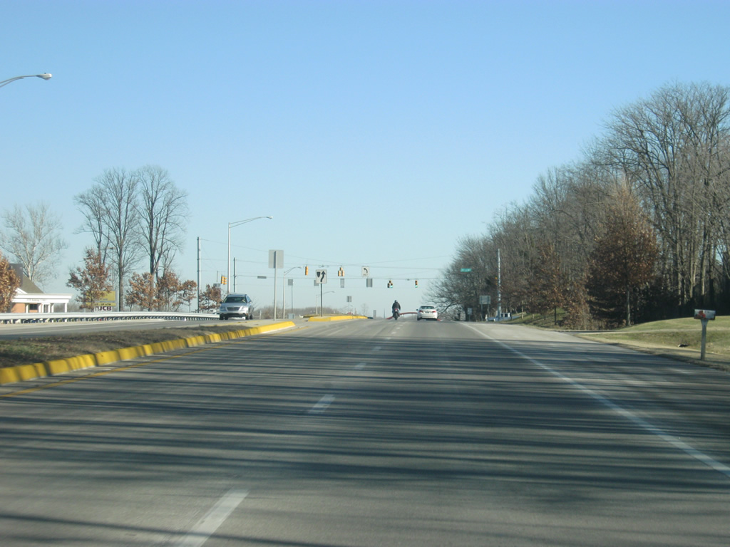
East of the intersection with Marr Road, SR 46 (State Street) reduces to two lanes as it leaves the city limits of Columbus. The upcoming destinations signage alludes to the SR 7 destinations of North Vernon (20 miles) and Madison (44 miles). SR 46's next major community, Greensburg, is 28 miles away.
12/29/11

SR 46 crosses Clifty Creek toward the southeast, nearing the junctions with SR 7 and U.S. 31.
12/29/11
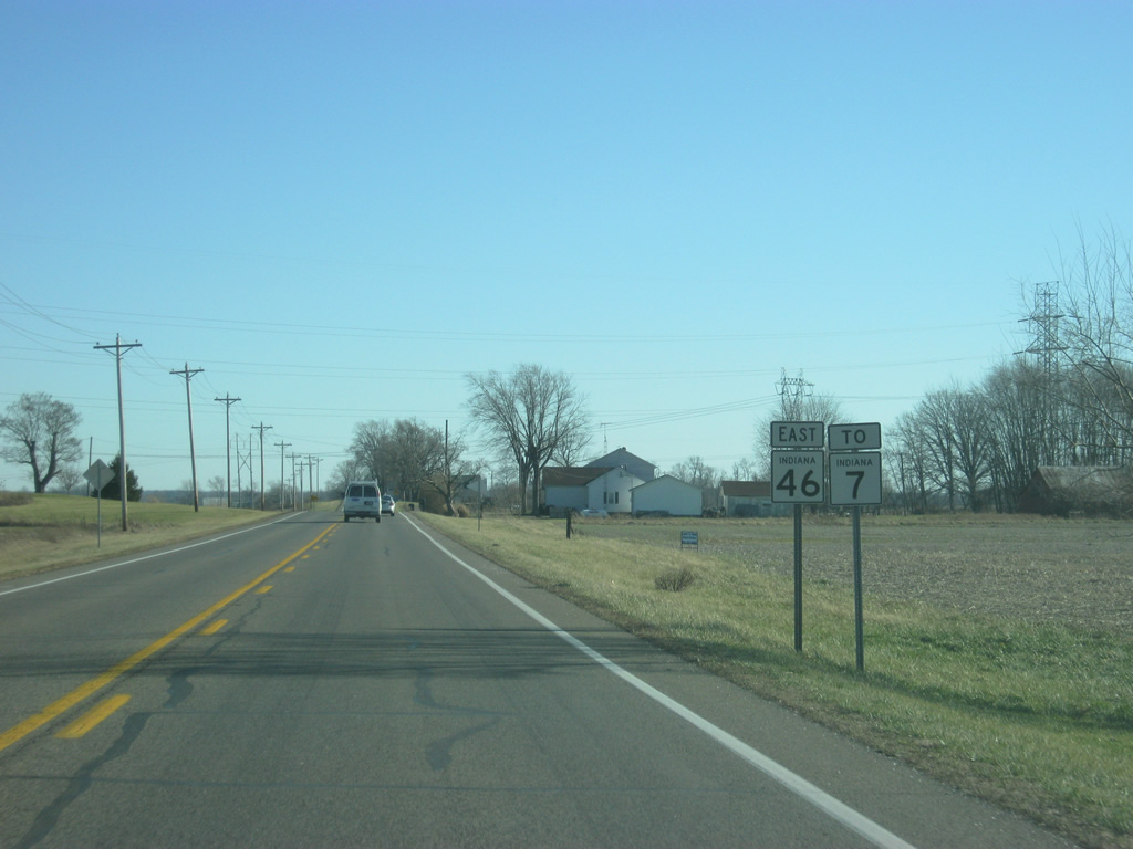
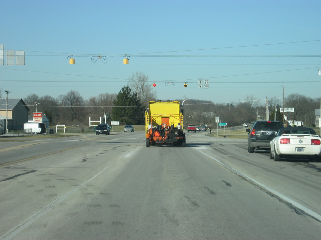
Another reassurance shield for SR 46 and trailblazer for SR 7 posted after County Road 250 East.
12/29/11
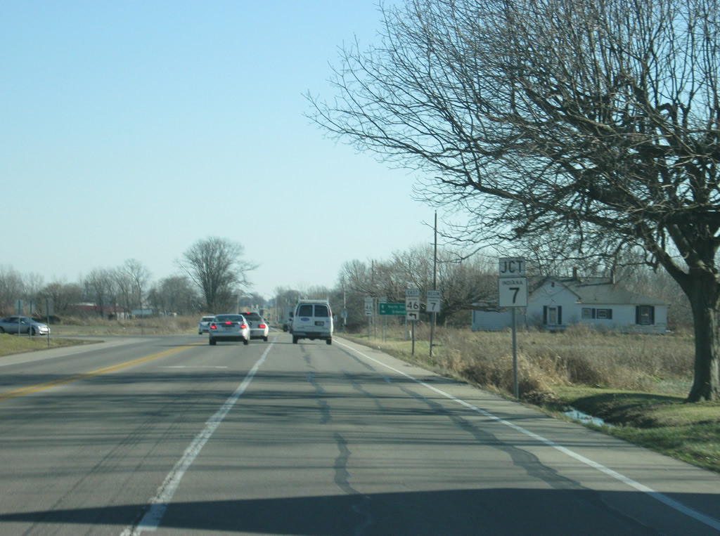
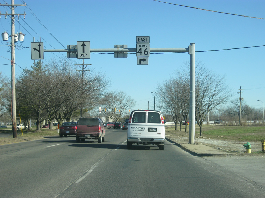
We now approach the current northern terminus with SR 7. Travelers planning on continuing east on SR 46 have to turn left off of the highway, which becomes SR 7.
12/29/11
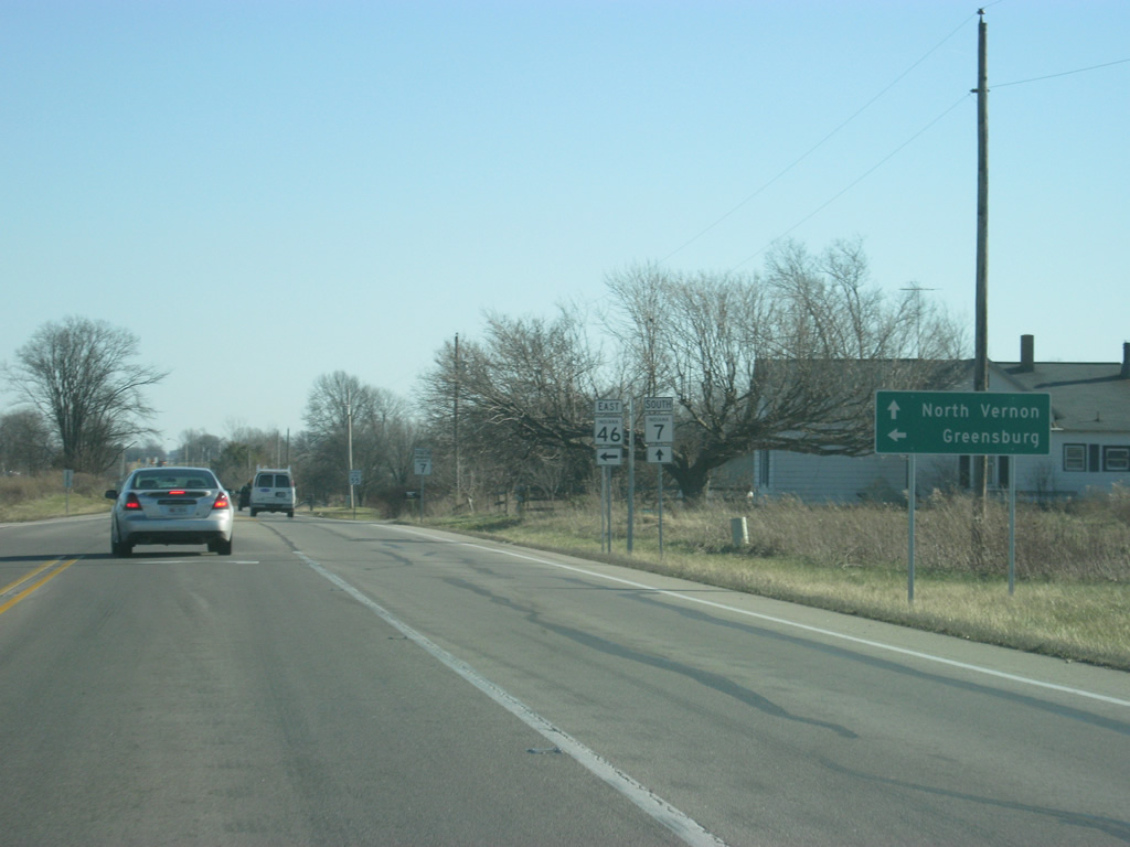
SR 46 resumes an eastward course toward Greensburg as SR 7 officially begins its 41 mile journey to North Vernon and Madison.
12/29/11
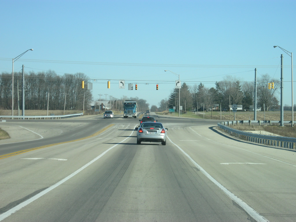
East of the junction with SR 7, SR 46 approaches its stoplight intersection with U.S. 31. U.S. 31 goes for 258 miles across Indiana from Louisville north alongside Interstate 65 toward Seymour, Columbus, Franklin and Indianapolis and as its own expressway from Indy to Kokomo, and South Bend.
12/29/11

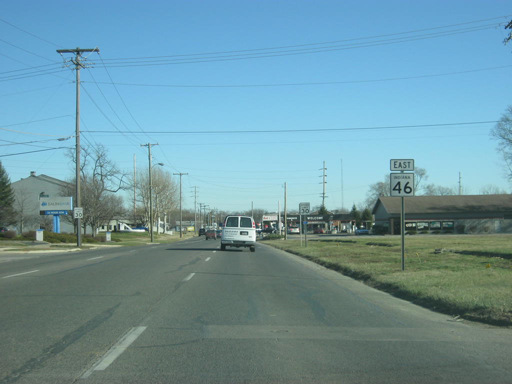
Beyond the U.S. 31 intersection, SR 46 east heads along what was the path of SR 9. As with SR 7, SR 9 was also truncated for its southernmost seven miles when SR 46 was rerouted around the east side of Columbus. This is why the distances to Hope (12 miles) and Shelbyville (29 miles) are given. Greensburg is now 25 miles along SR 46.
12/29/11
SR 46 for the next seven miles curves from the east to the north along the former path of SR 9, completing the long bypass around the east side of the city.
12/29/11
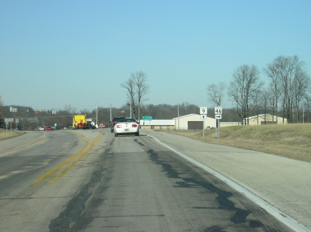
Facing north, SR 46 nears the southern terminus of SR 9. SR 9 begins and travels 196 miles from this intersection north through Shelbyville, Greenfield, Anderson, Marion, Huntington, Columbia City and LaGrange before ending at the Michigan state line.
12/29/11
SR 46 east makes a right turn onto its original alignment to Newburn and Greensburg. To the west, the road continues as 25th Street back into the city of Columbus, reflecting the previous routing of SR 46.
12/29/11
A four-way stop works at the intersection with SR 9 and 25th Street.
12/29/11
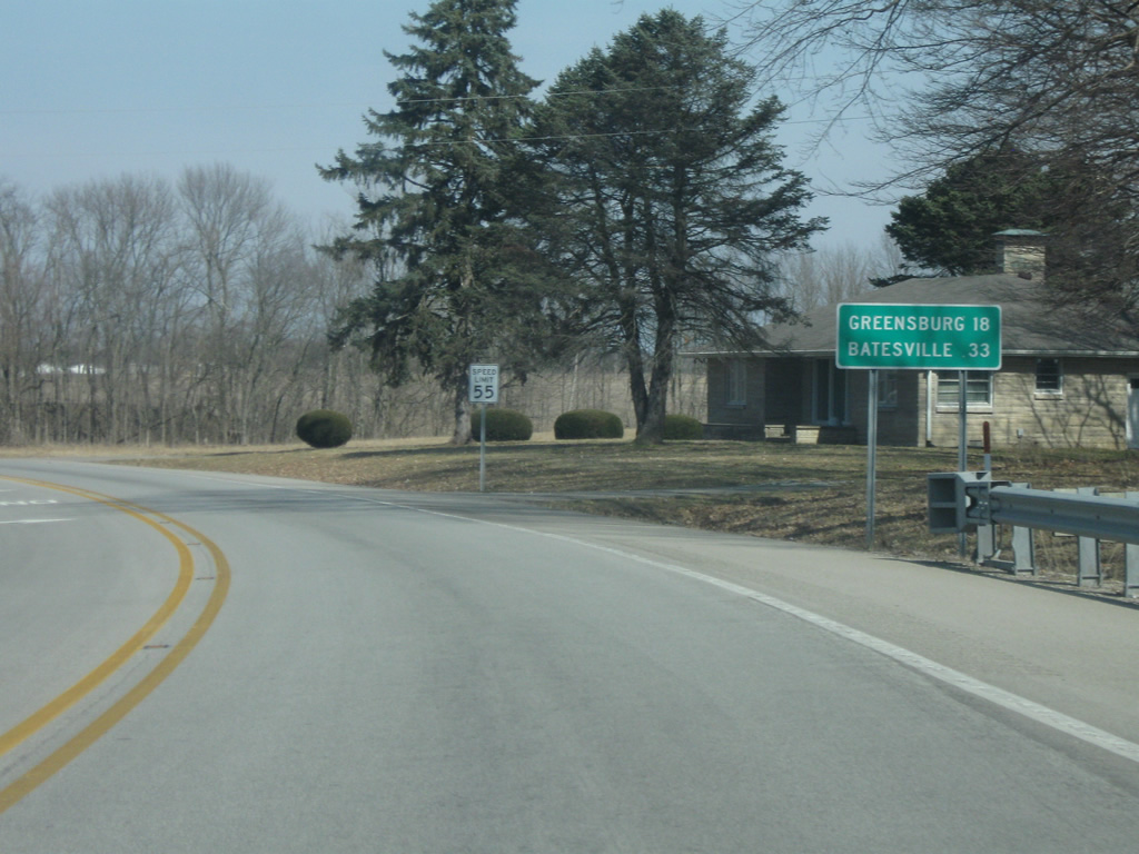
East of the junction with SR 9 and 25th Street, SR 46 is now 18 miles from Greensburg and 33 miles from the next control city of Batesville.
03/10/10
Eastbound SR 46 reaches the settlement of Newbern, which lies south of Clifty Creek at County Road 850 East.
03/10/10

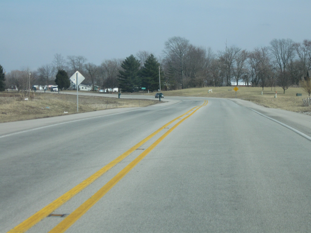
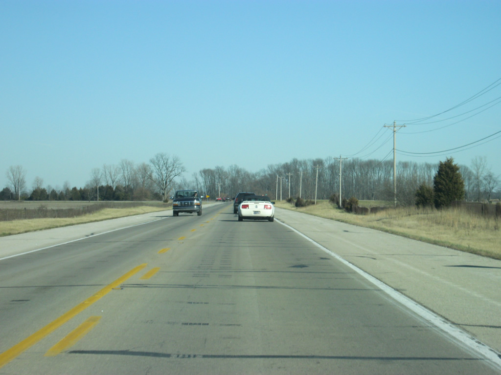
SR 46 makes several turns as it goes through the terrain of eastern Bartholomew County. While these are not as pronounced as the hills of the western part of the county, the highway does go through some slight terrain changes as it follows Clifty Creek to the northeast.
03/10/10
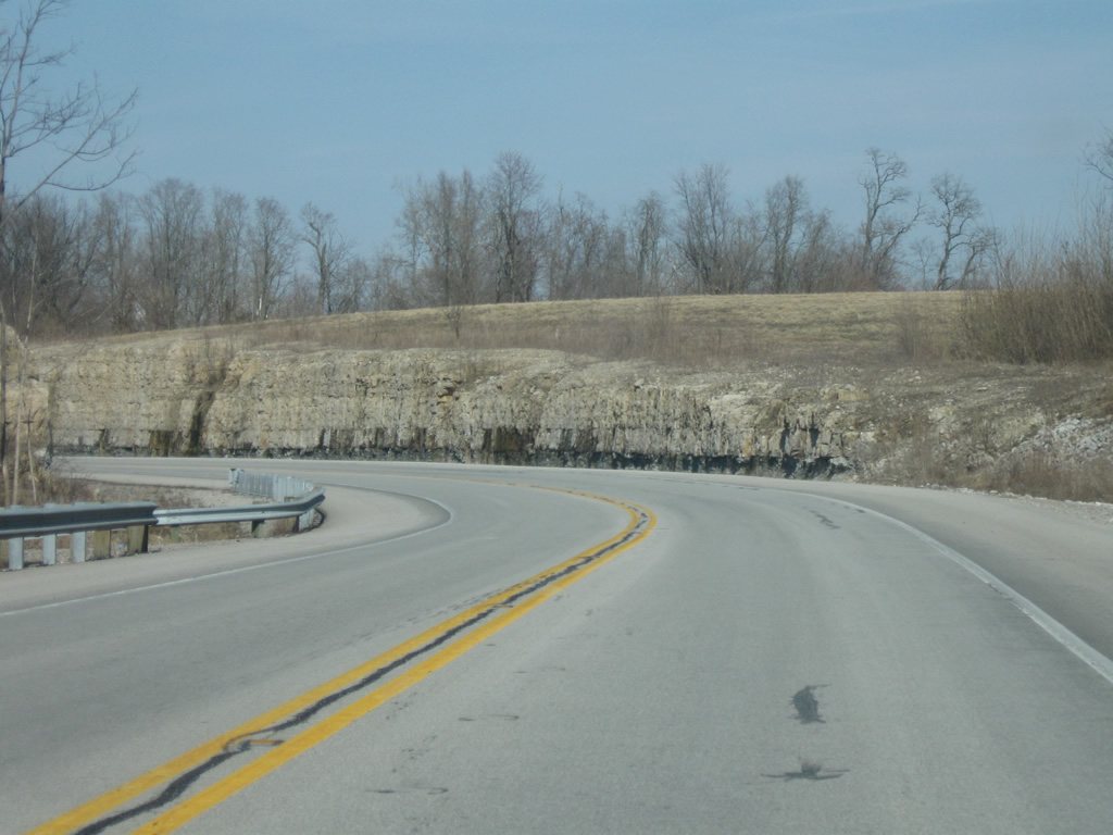
SR 46 was realigned and modernized from ahead of the Fall Fork of Clifty Creek northward toward Hartsville. This includes both rock cuts and a new retaining wall along the hills parallel to Clifty Creek.
03/10/10
SR 46 emerges from the realigned portion of highway along Clifty Creek as Harrison Street into the town of Hartsville. This is the only community in between Columbus and Greensburg.
03/10/10
A reassurance shield for SR 46 east of the town of Hartsville.
03/10/10
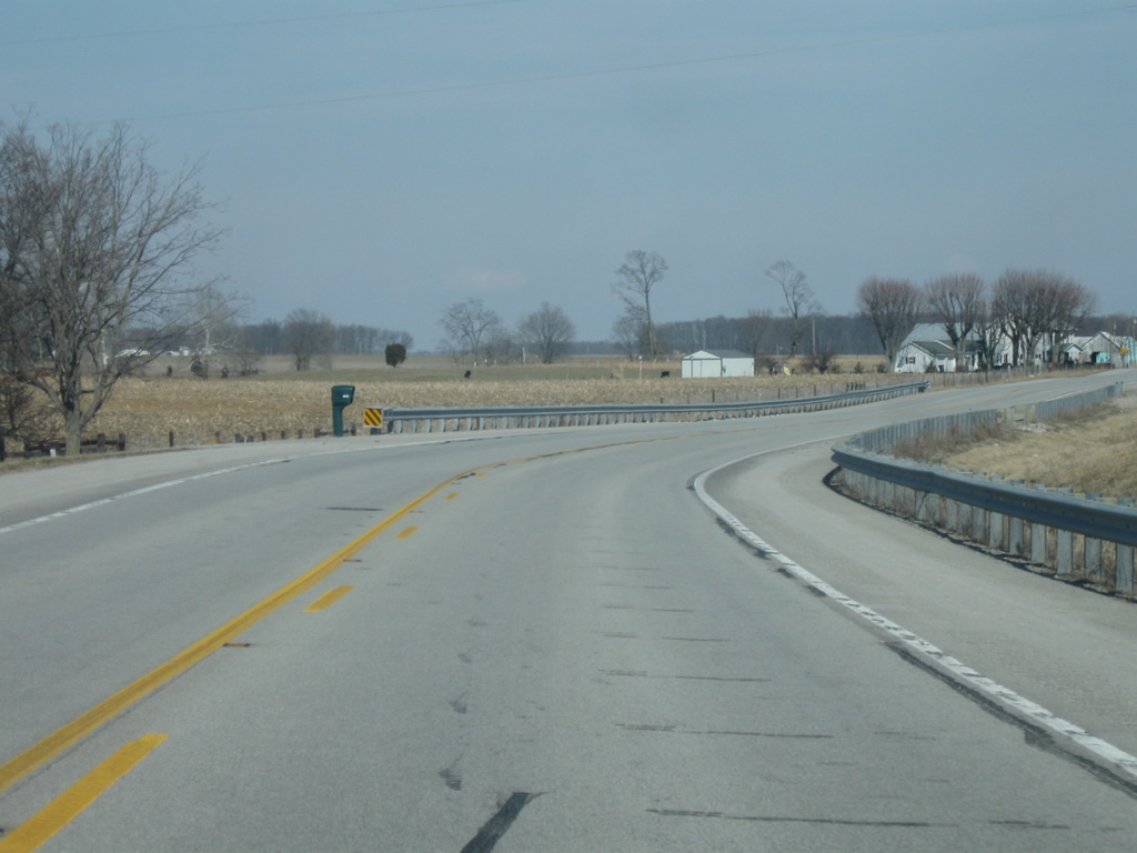
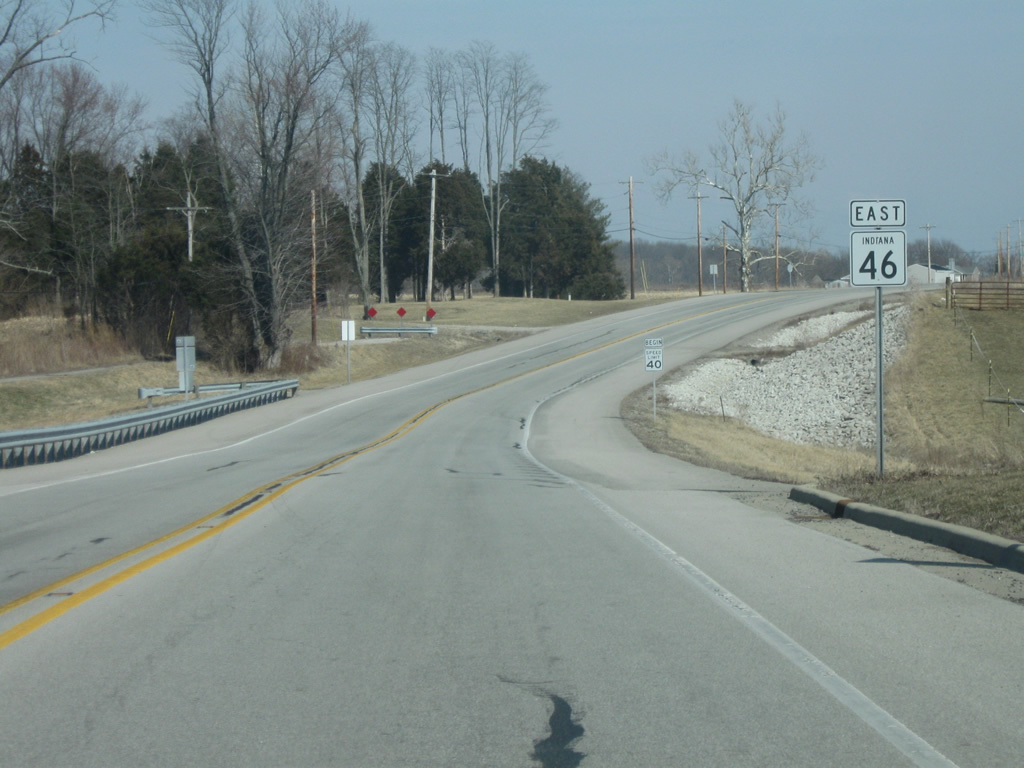
Leaving the valley of Clifty Creek, SR 46 returns to the flat agricultural fields around the Bartholomew-Decatur county border.
03/10/10
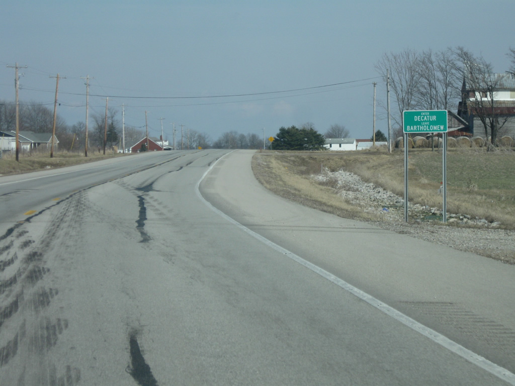
SR 46 enters Decatur County (population 25,740). Interesting, the county line sign here omits the county abbreviation and just states the county name.
03/10/10
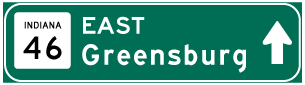
Photo Credits:
- Thomas Decker: 03/10/10, 12/29/11
Connect with:
Page Updated Monday May 06, 2013.