
State Road 46 West - Bartholomew County

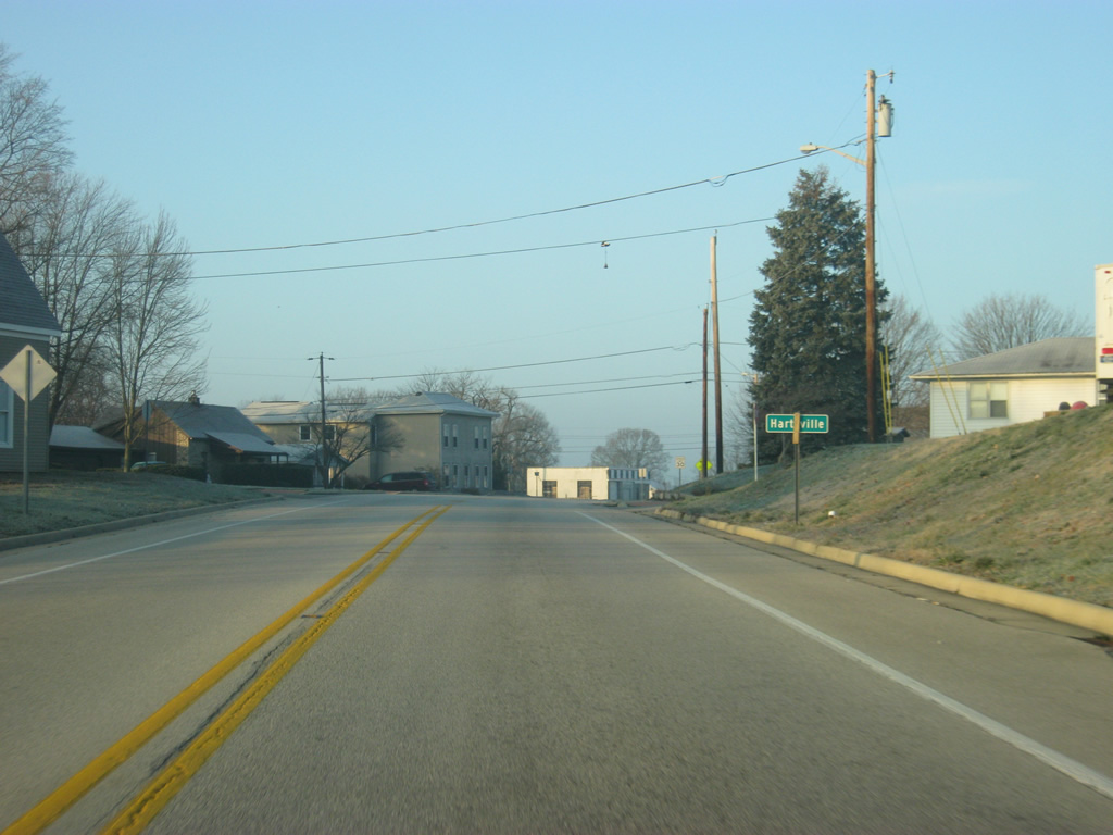
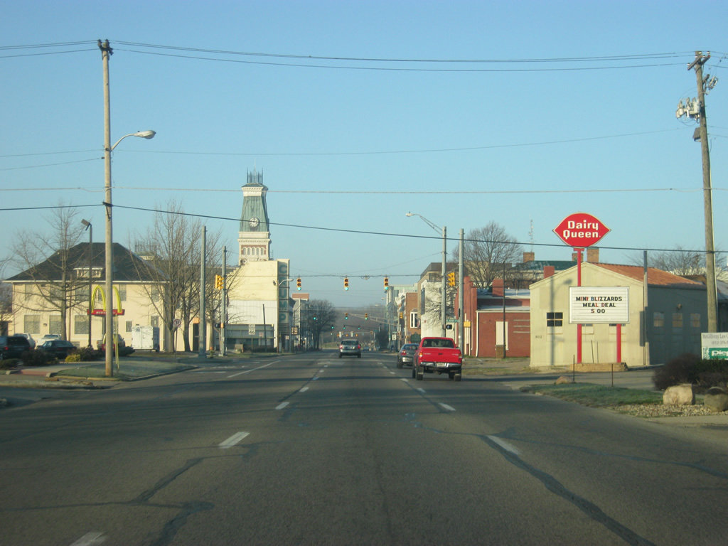
West of the county line, SR 46 enters the town of Hartsville, which is the largest community in between Greensburg and Columbus.
12/17/11
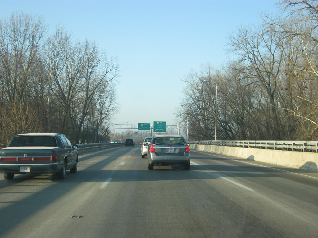
A view of SR 46 as it goes through the town of Hartsville.
12/17/11
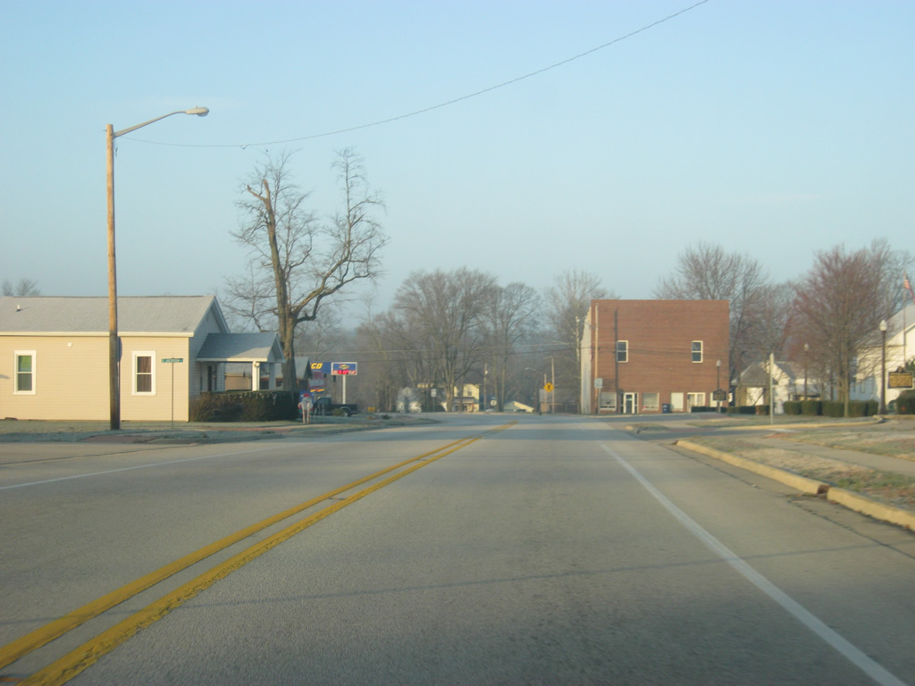
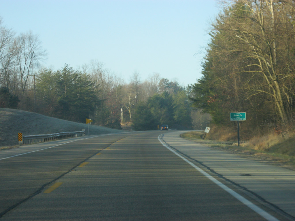
A reassurance shield for SR 46 to the west of Hartsville.
12/17/11
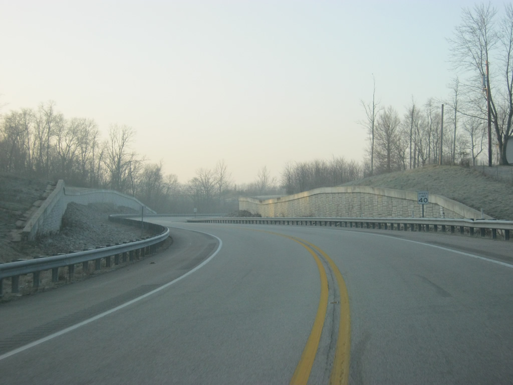
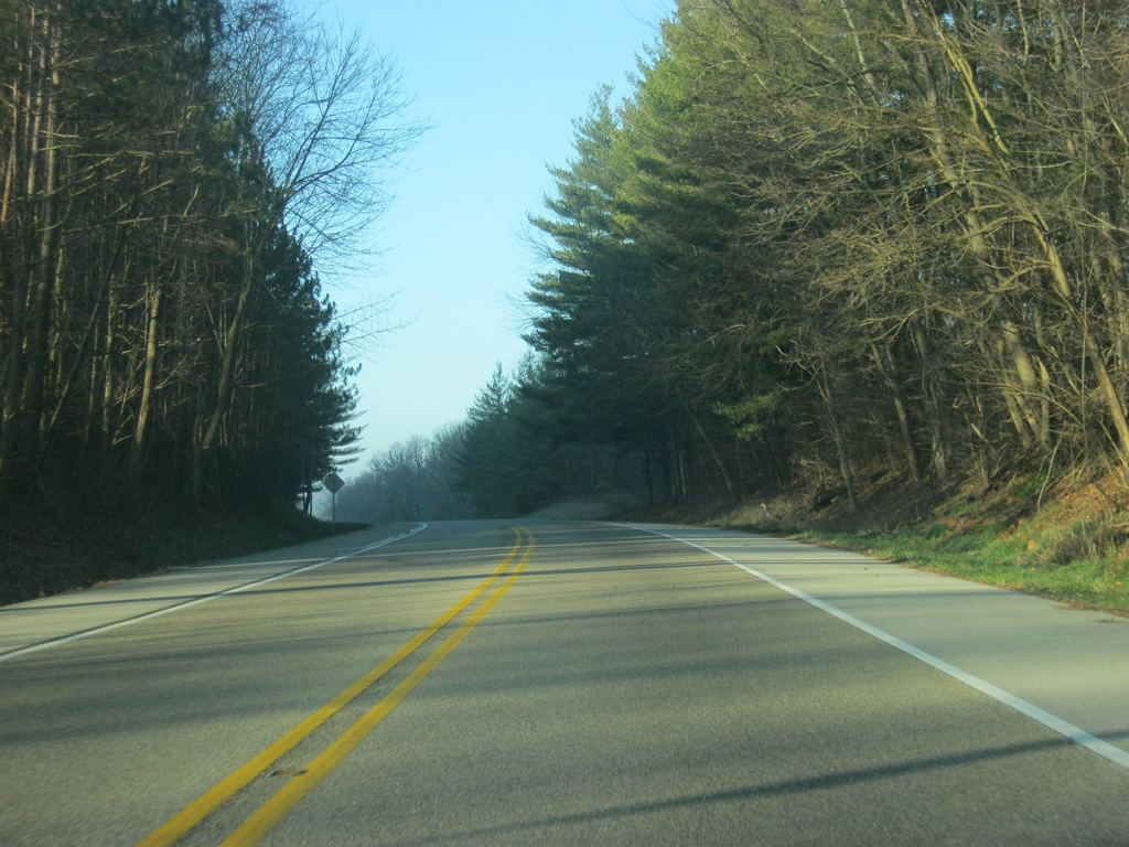
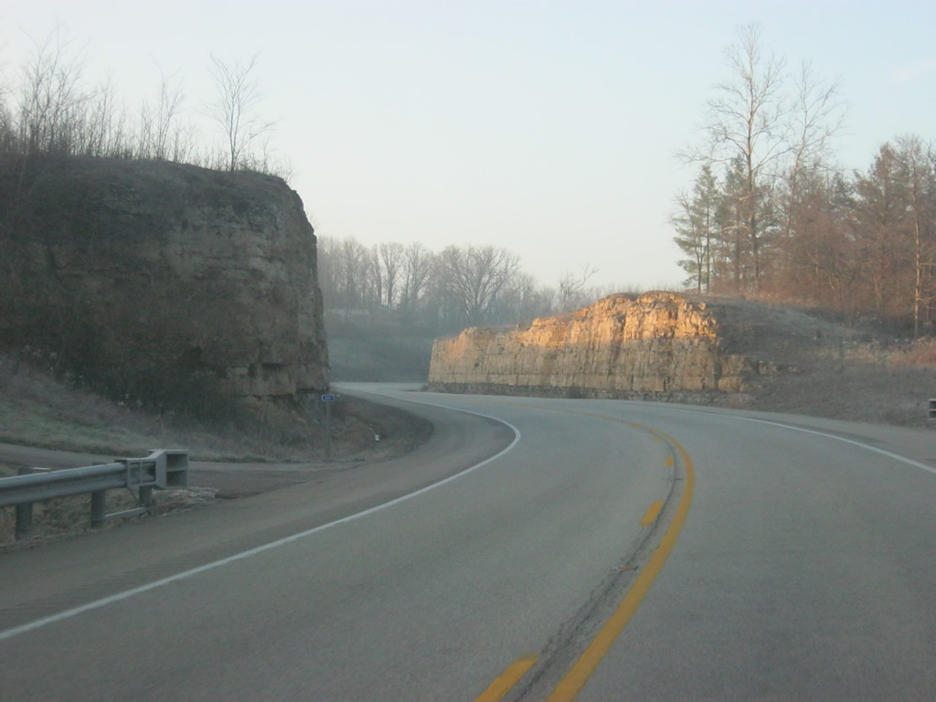
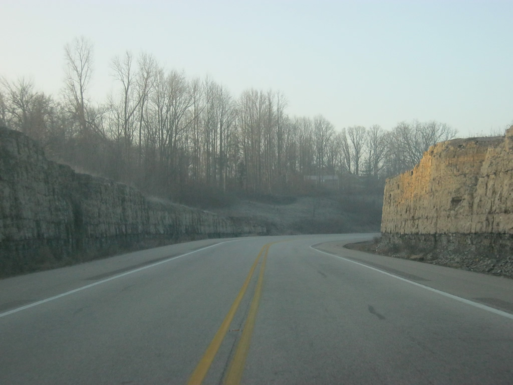
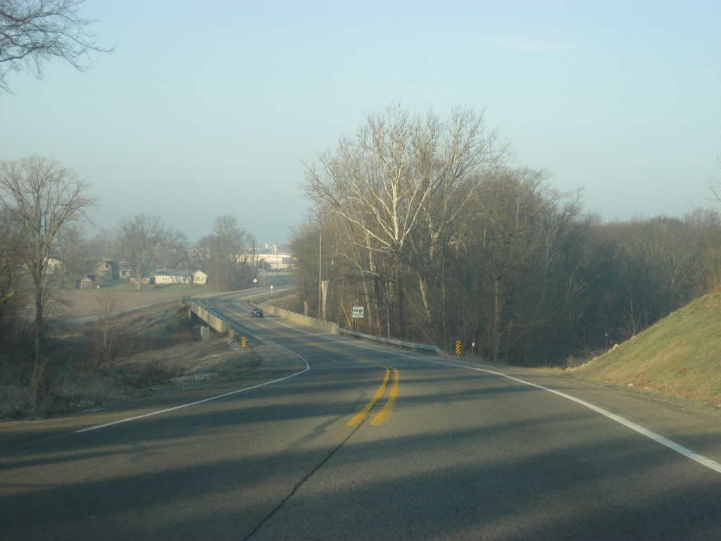
To the west of Hartsville, SR 46 goes through a new alignment that was created for it in the 2000s. The new alignment straightened out the highway as it previously had winded through the Clifty Creek valley toward the southwest from Hartsville. New retaining walls and rock cuts highlight the new alignment of the highway.
12/17/11
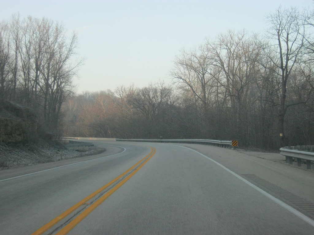
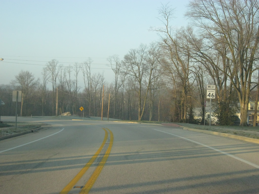
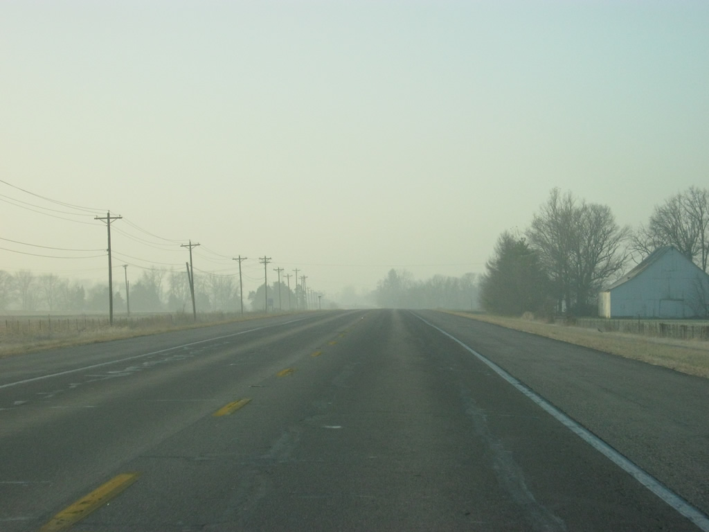
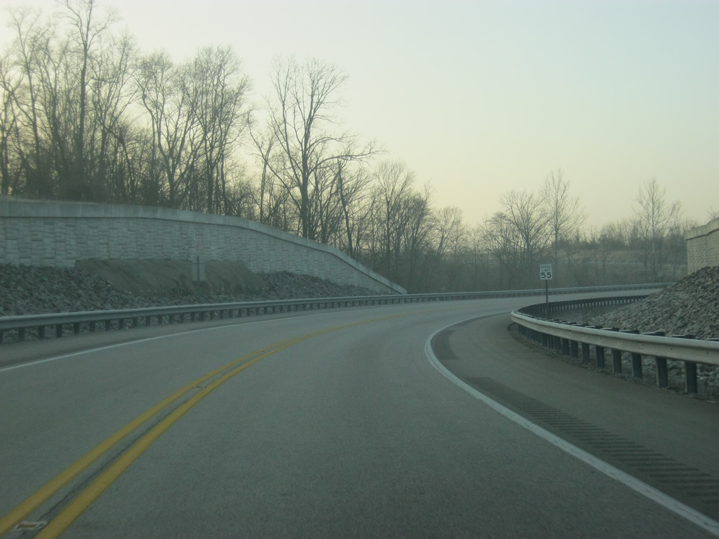
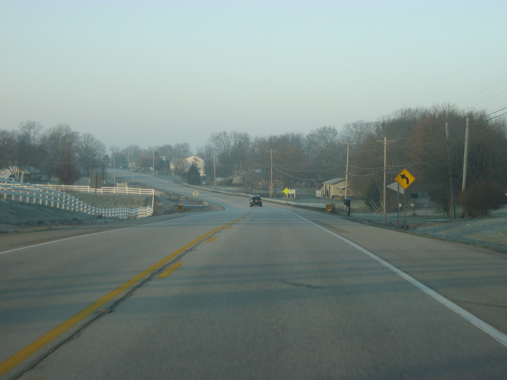
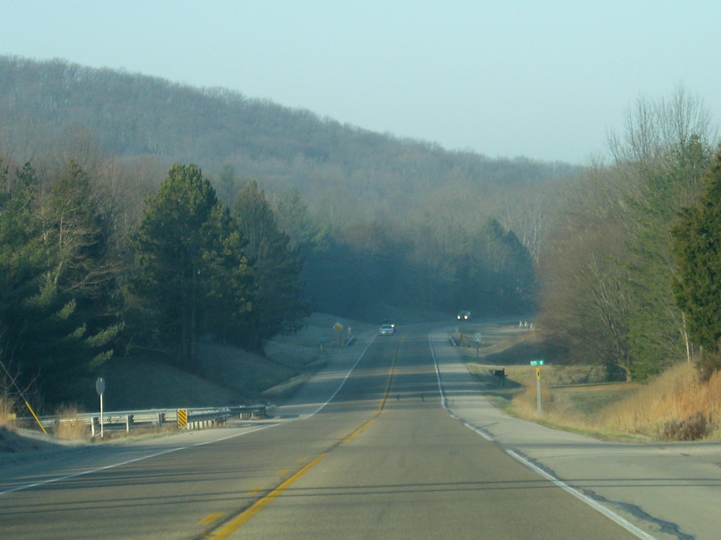
Leaving the winding section near Clifty Creek, SR 46 returns to agricultural areas west of County Road 925 East.
12/17/11
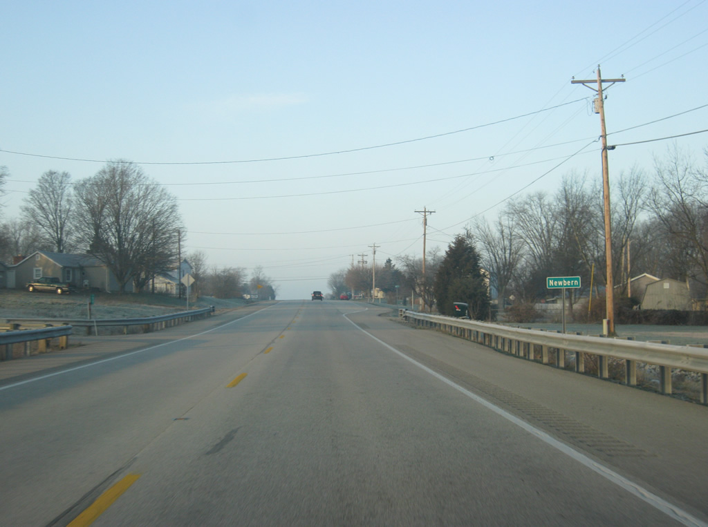
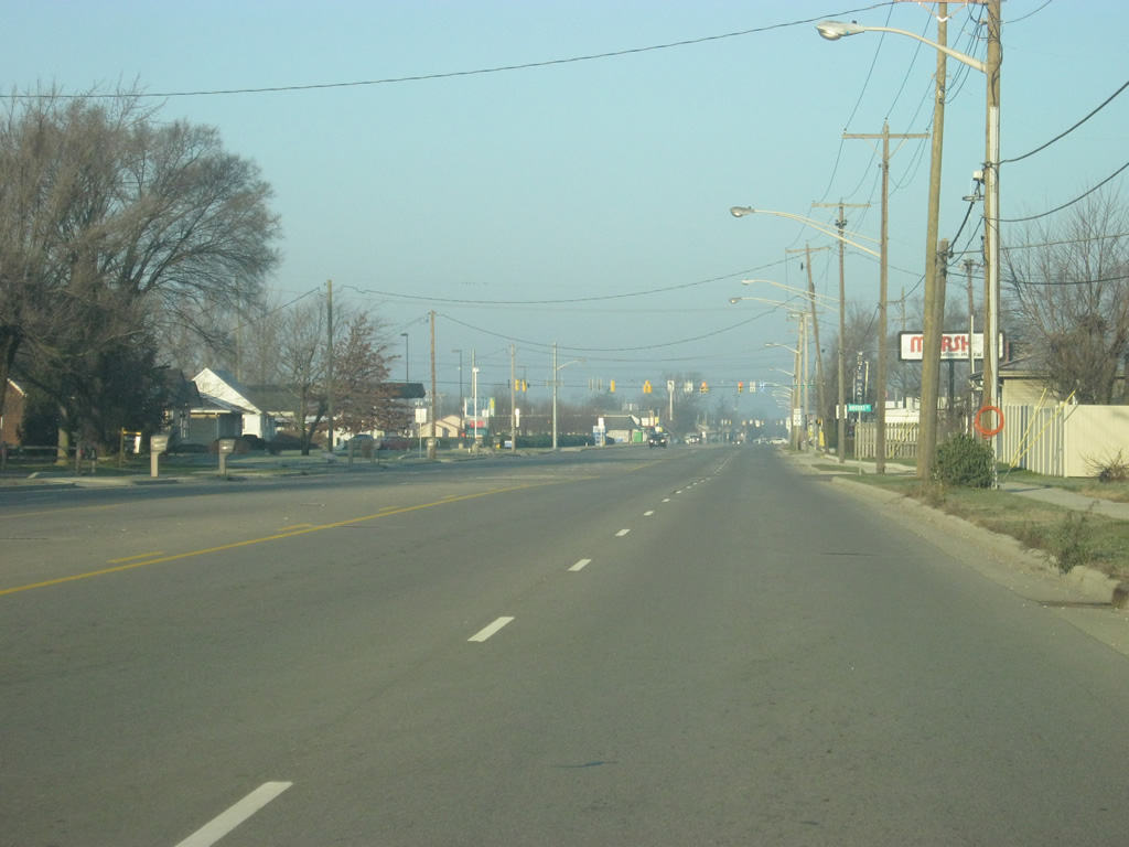
West of the new alignment for SR 46, the highway goes through the small town of Newbern.
12/17/11
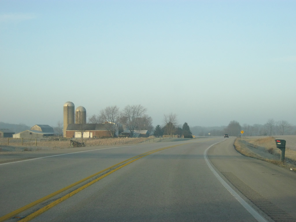
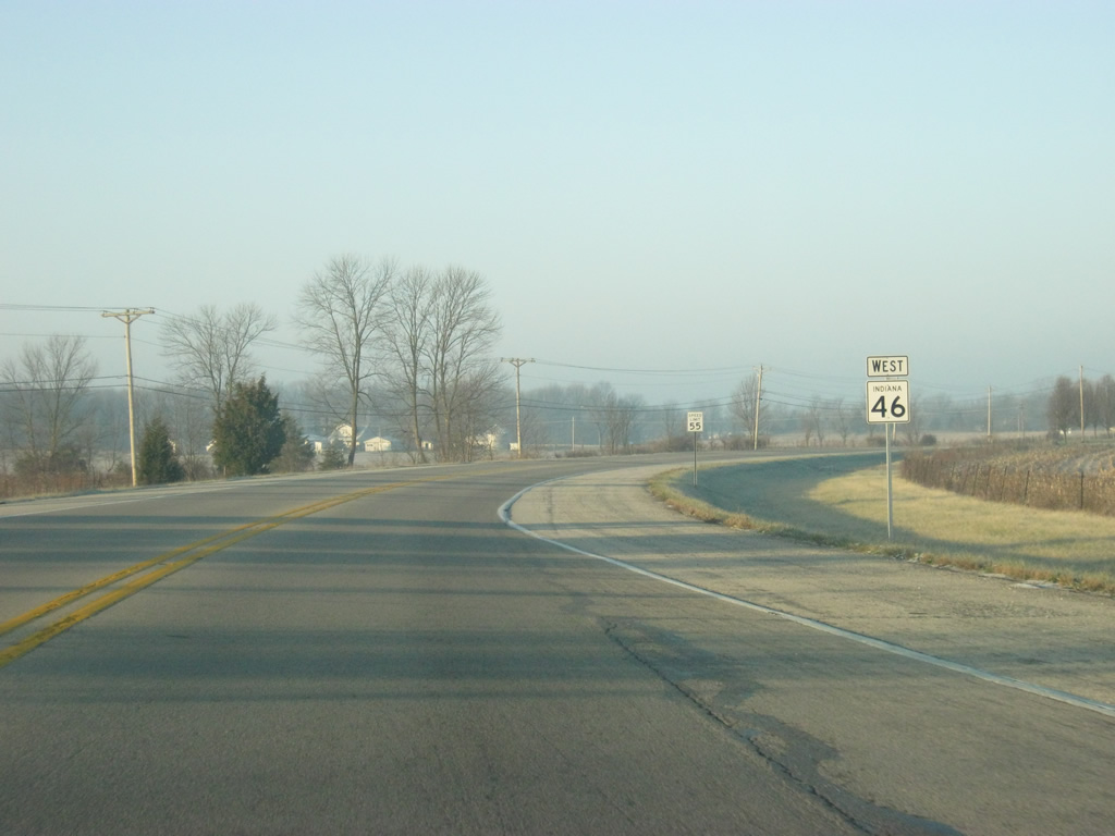
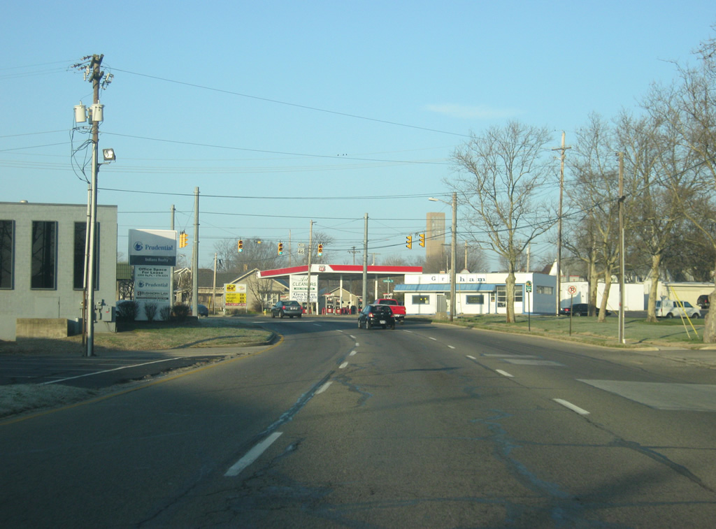
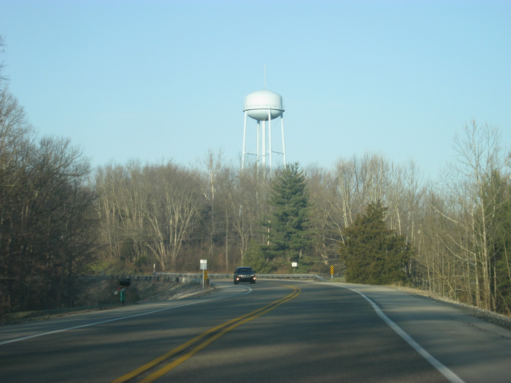
Now west of Newbern, SR 46 passes through some farms on a late autumn morning as it approaches the junction with SR 9.
12/17/11
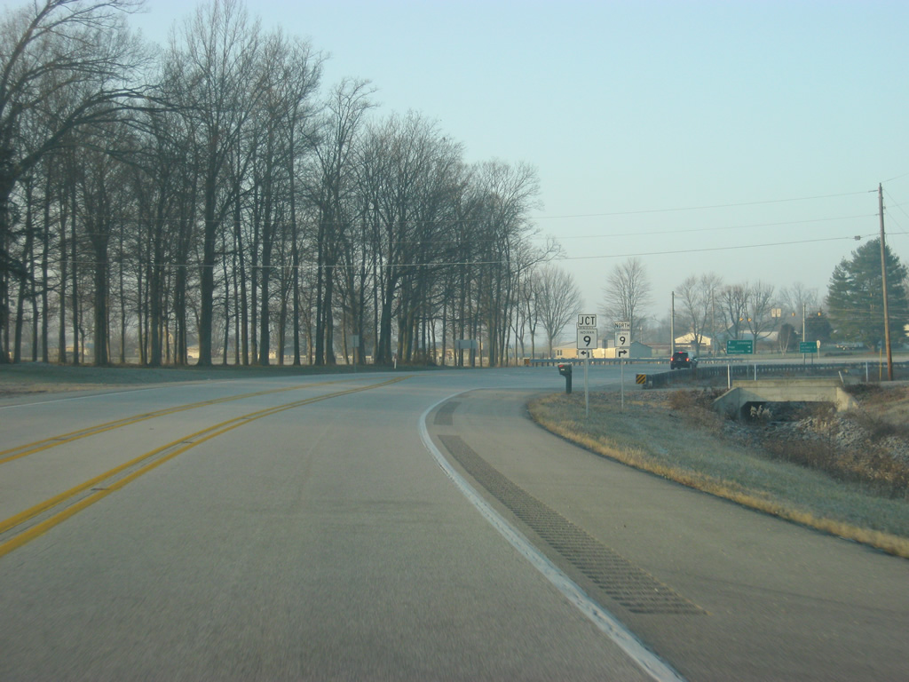
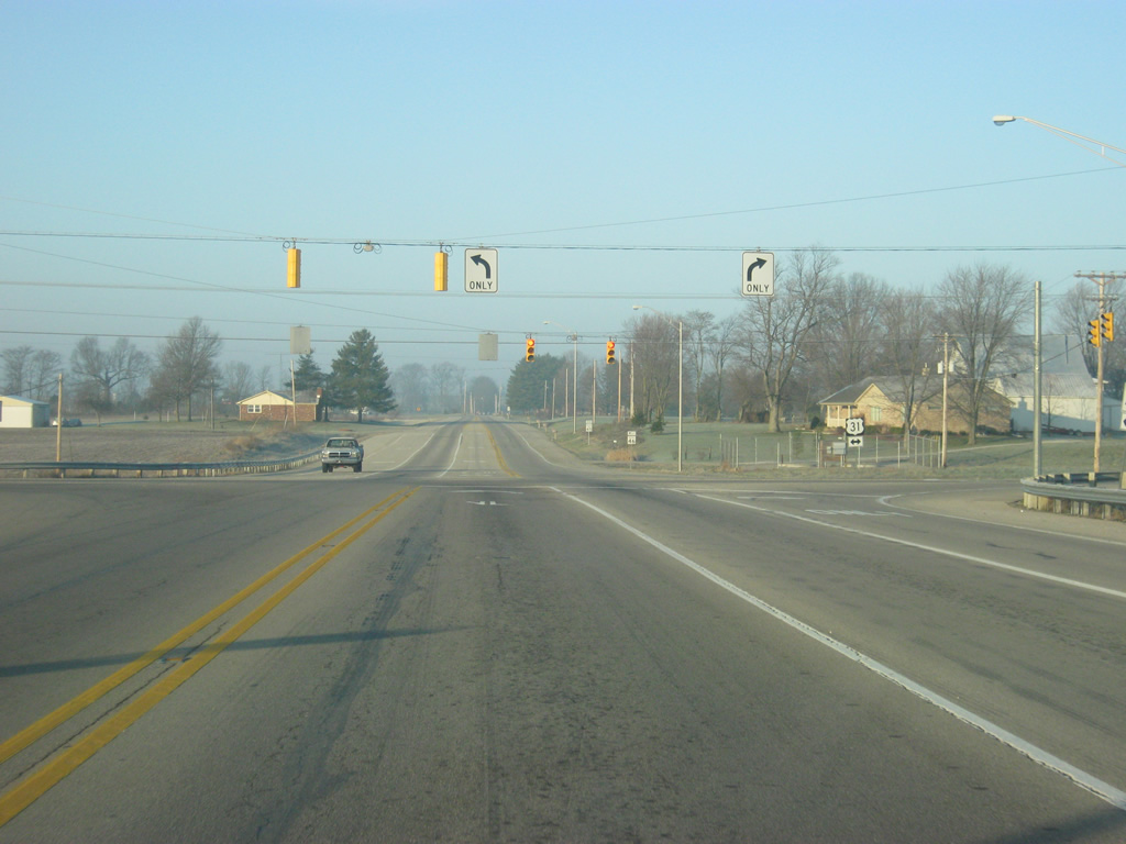
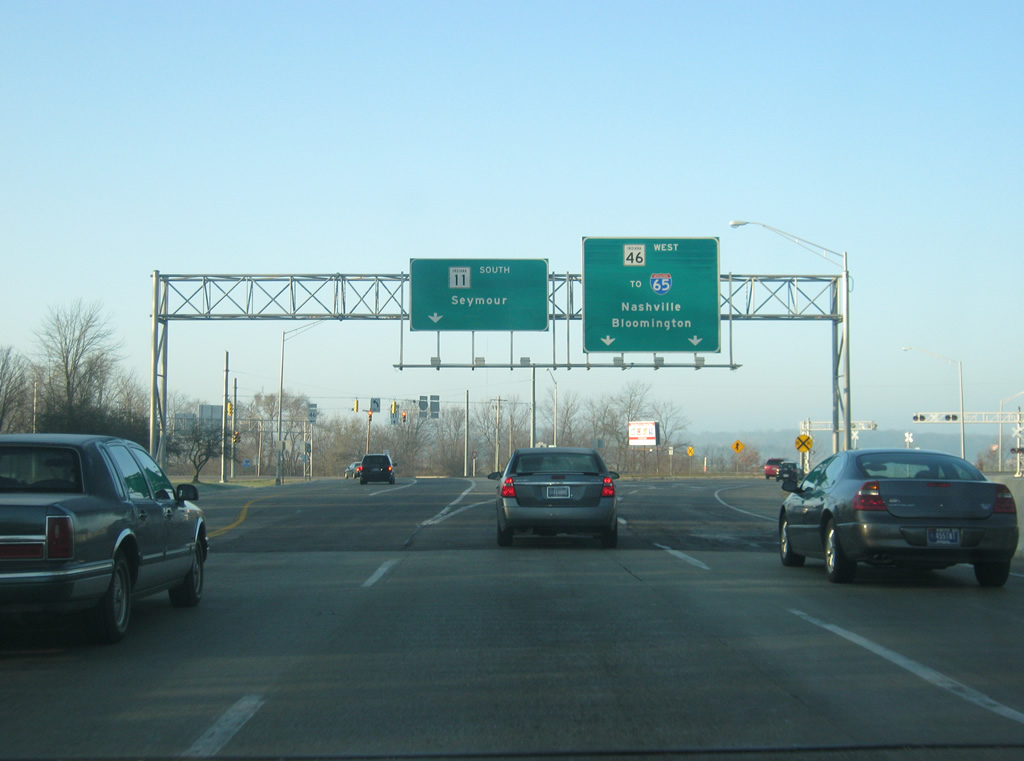
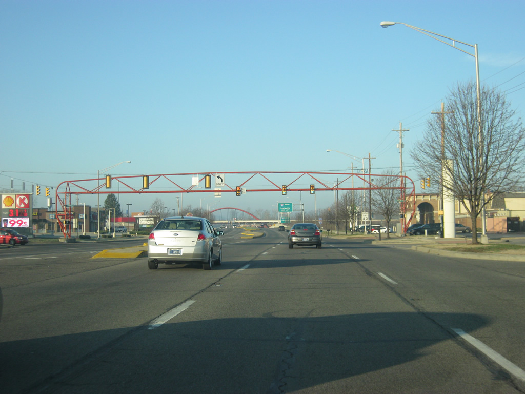
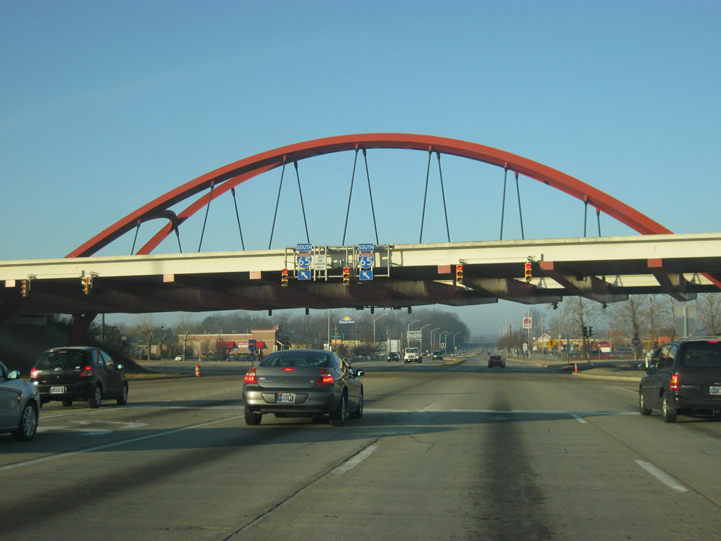
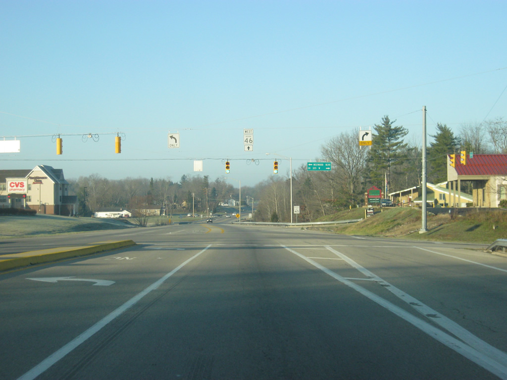
SR 46 approaches the intersection with SR 9 and 25th Street. SR 9 goes north from the intersection for 196 miles to the communities of Shelbyville, Greenfield, Anderson, Marion, Huntington, Columbia City, Albion, and LaGrange, ending at the Michigan state line.
12/17/11
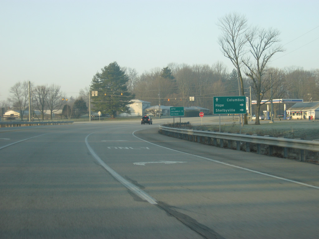
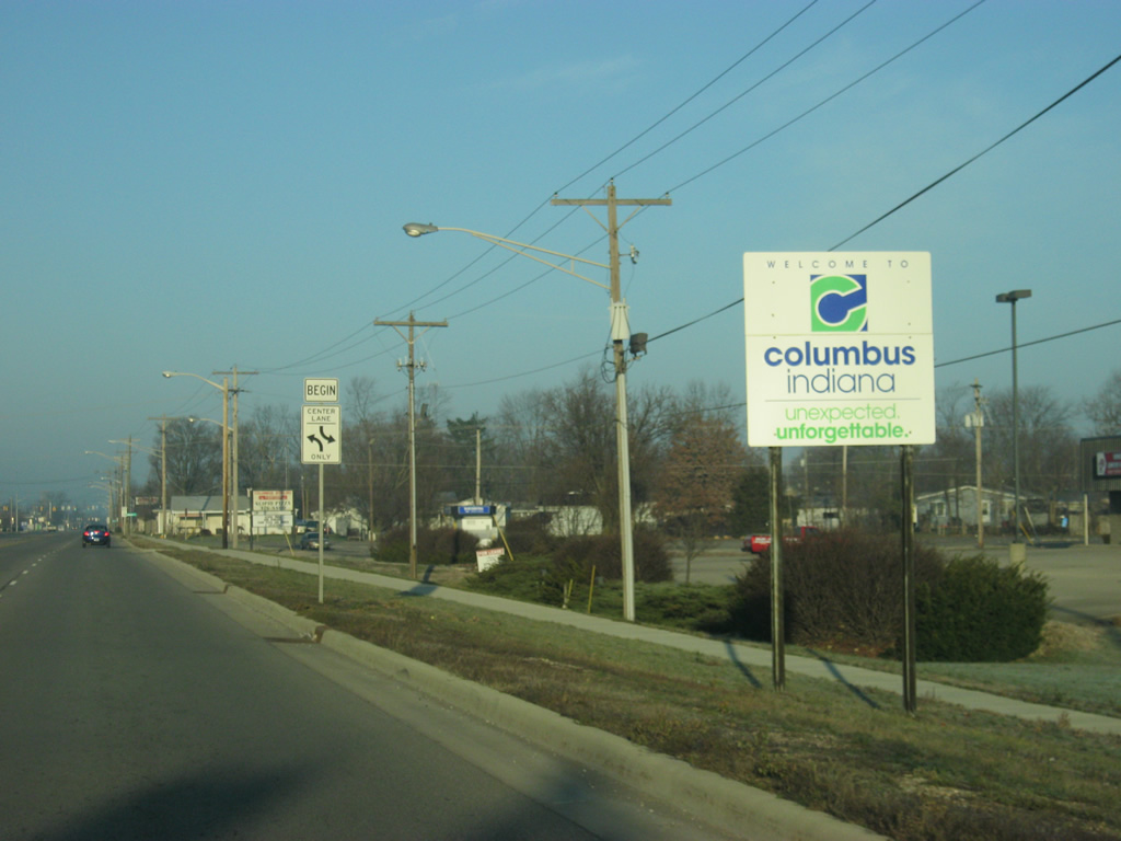
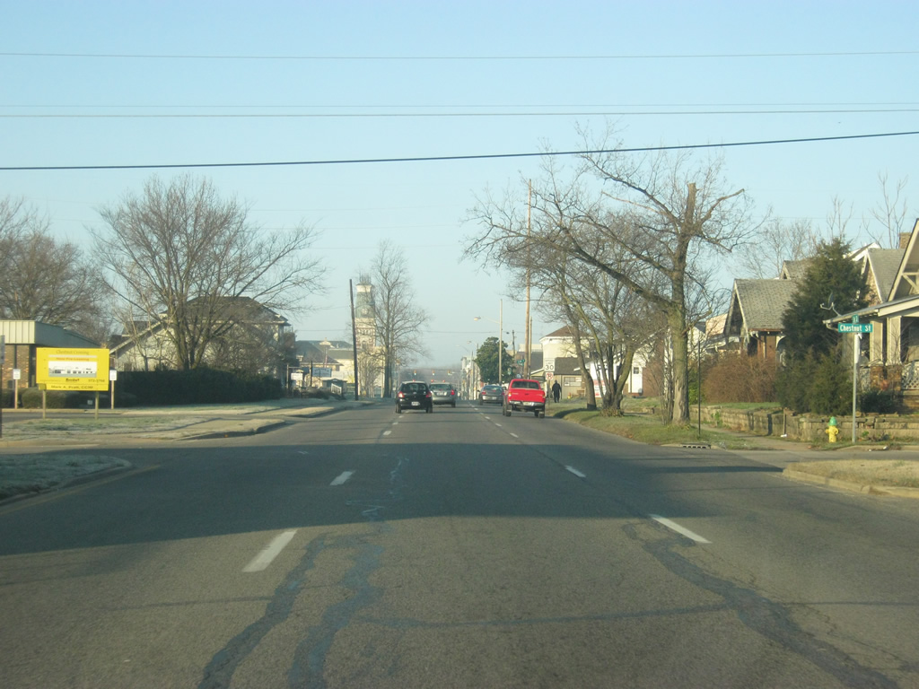
The Bartholomew County town of Hope is only a few miles to the north whereas Shelbyville is less than 30 miles away. Columbus can be reached by continuing straight through the intersection along 25th Street. Until the mid-2000s, 25th Street was SR 46. The state road had gone through Columbus via 2nd Street into downtown, Washington Street to the north and then 25th Street to the east out of town.
12/17/11
At the flashing four-way stop, SR 46 traffic is directed to head south while SR 9 is directed to the north. SR 46 was rerouted along what was the southernmost seven miles of SR 9 and onto the northernmost four miles of SR 7, providing a sweeping arc to the southeast of Columbus, bypassing the majority of the city. Still, SR 46 has to go through the south side of town and through Downtown Columbus.
12/17/11
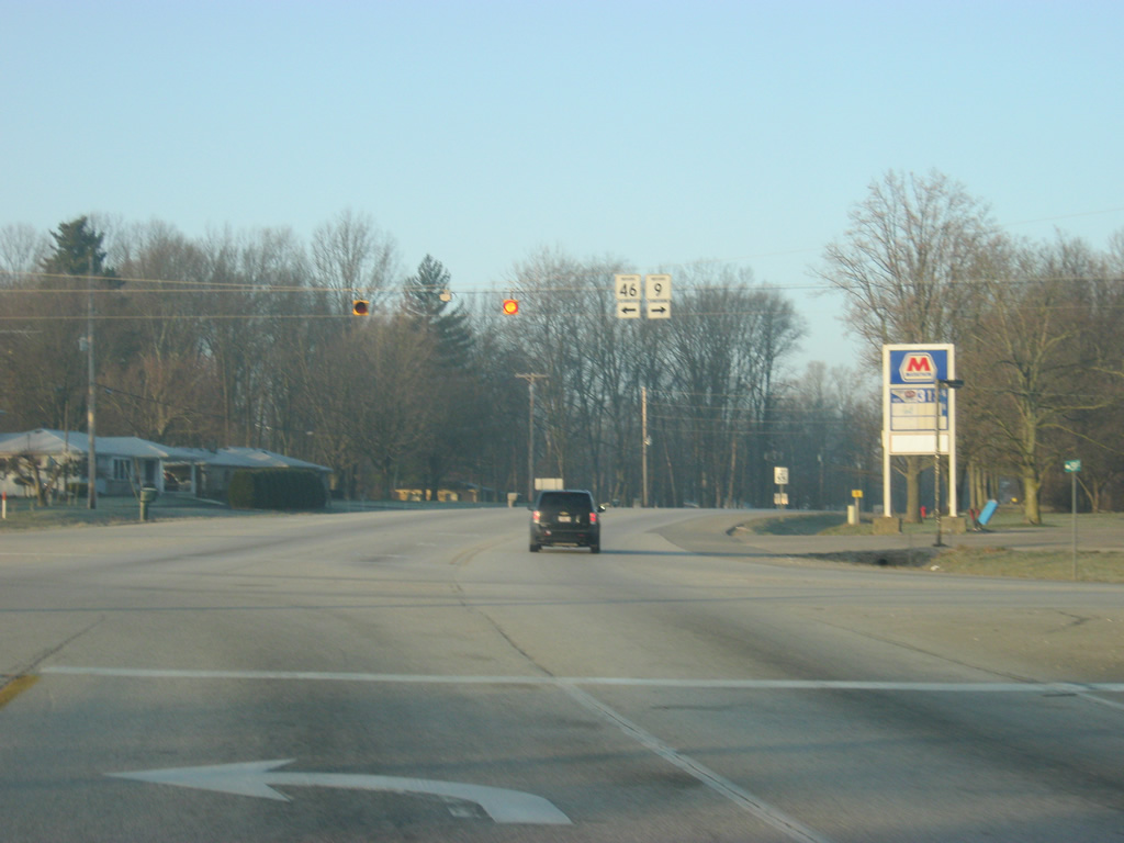
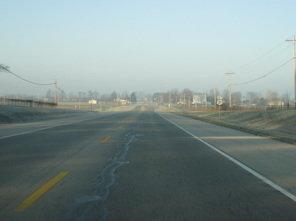
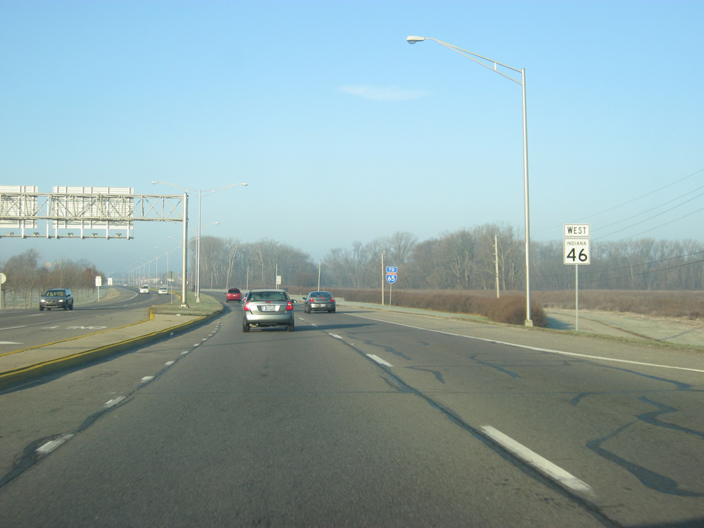
Now heading south along SR 46 (old SR 9), U.S. 31 is seven miles. This distance sign is a remnant from the time that U.S. 31 was the final control point along SR 9.
12/17/11
Because of the bypass of the city, Columbus itself is still 14 miles away. Seymour, reached via U.S. 31 is 24 miles to the south and Nashville, the next community along SR 46, is 30 miles away.
12/17/11
A view of SR 46 (old SR 9) as it makes it way toward the south, before making a 90 degree turn to the west.
12/17/11
A reassurance shield for SR 46 as the road turns toward the west.
12/17/11
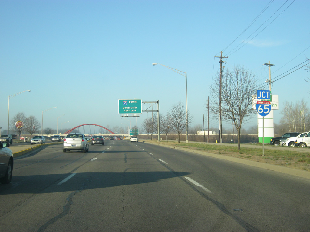
Now coming up to the intersection with U.S. 31. U.S. 31 goes for 258 miles across Indiana from Louisville north toward Seymour, Columbus, Franklin, Indianapolis, Kokomo, and South Bend. From Indianapolis to the south, U.S. 31 follows Interstate 65, but north of Indianapolis it is a major expressway north to South Bend.
12/17/11
The city of Columbus can be reached either from heading north along U.S. 31 (National Road) toward the east and north sides of the city, or straight along SR 46 toward the downtown. U.S. 31 south takes you in the direction of Reddington and Seymour.
12/17/11
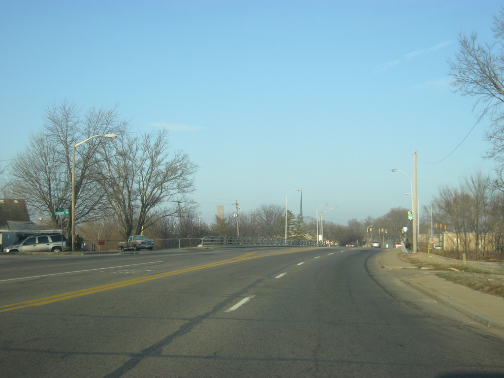
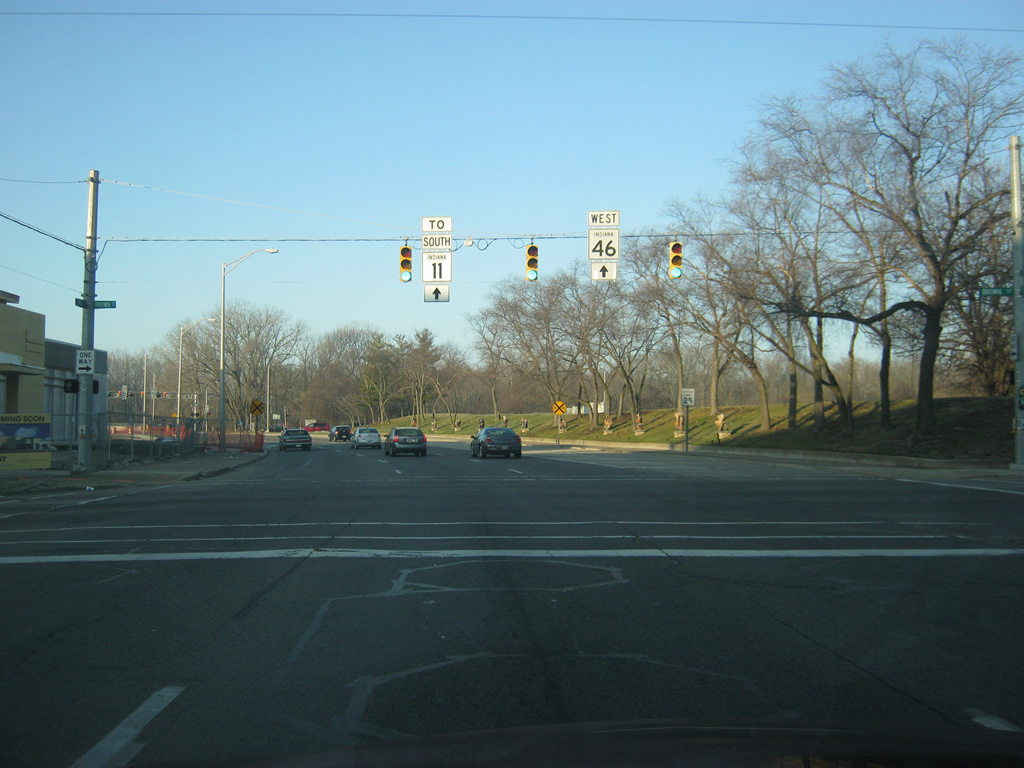
Now at the stoplight intersection with U.S. 31. Before the rerouting of SR 46, this was the southern terminus for SR 9. Originally, the road continued ahead as a smaller County Road 200 South. Now, SR 46 continues on the highway to the west to SR 7. SR 7 begins at SR 46 a few hundred yards to the west and goes for 41 miles to the southeast toward North Vernon and Madison.
12/17/11
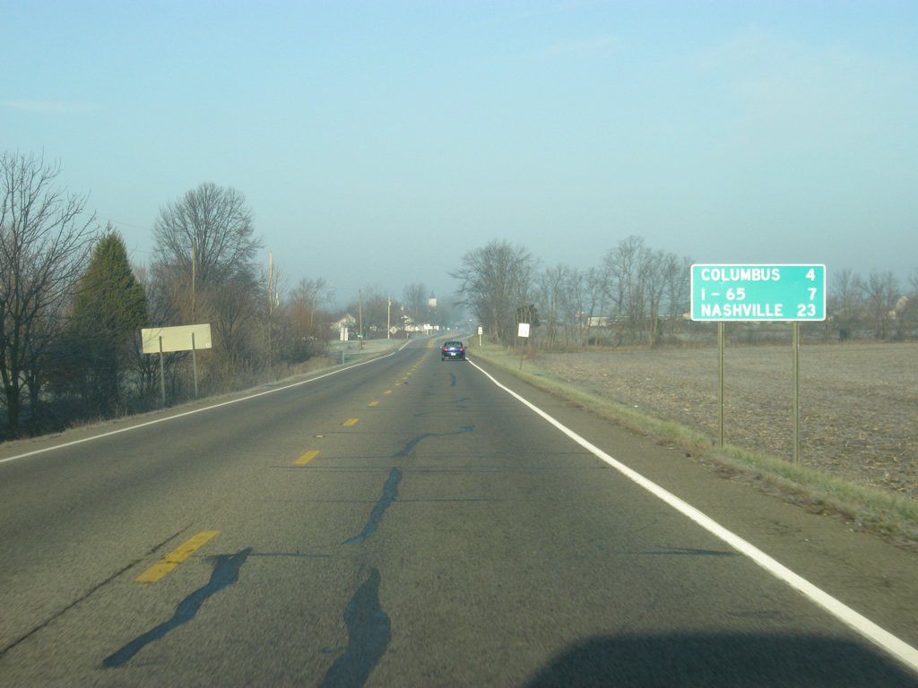
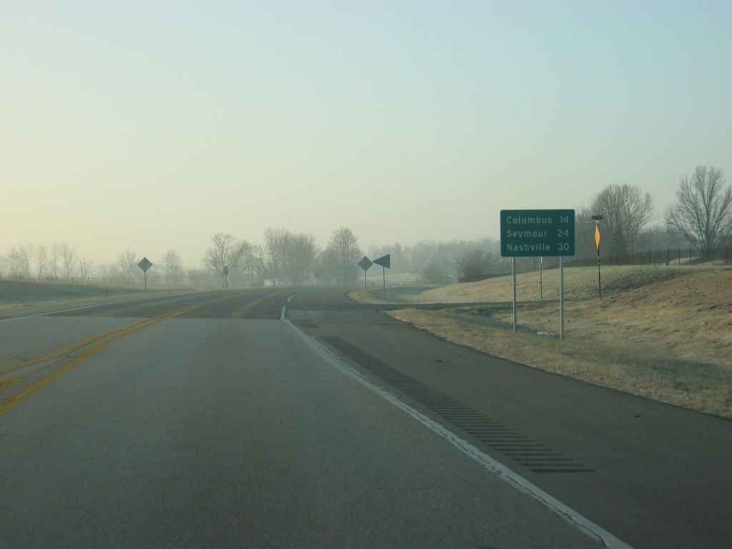
Now following the original routing for SR 7, SR 46 heads toward the northwest. Downtown Columbus is now four miles away, Interstate 65 is seven miles away and Nashville is 23 miles away.
12/17/11
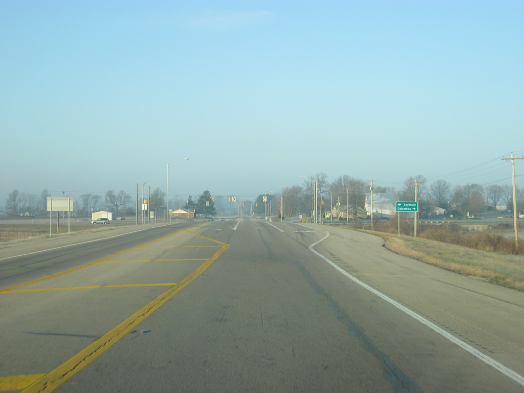
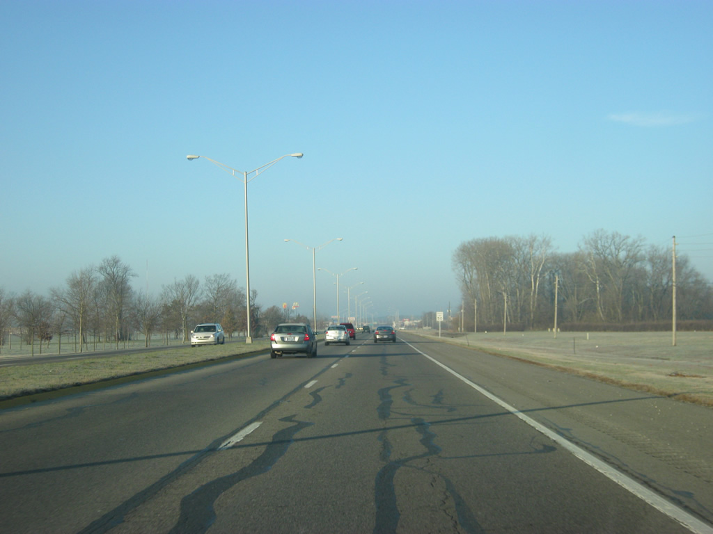
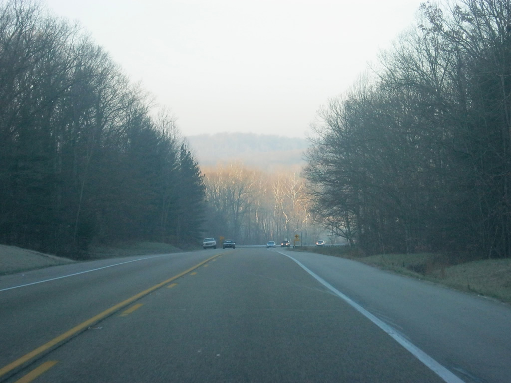
Views of SR 46 (old SR 7) as it makes its way northwest through the rural fringes of Columbus.
12/17/11
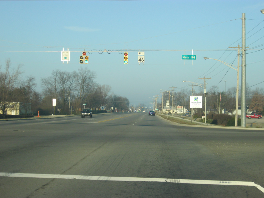
SR 46 becomes State Street at the Marr Road intersection at the eastern edge of the city of Columbus.
12/17/11
Past the intersection with Marr Road, SR 46 (State Street) enters the city of Columbus (population 44,061). Columbus is famous for its architectural design, started from the Cummins Engine Company, who brought in architects to design various public buildings, such as schools and churches as well as sculptures throughout the city. In a ranking of cities by the American Institute of Architects, Columbus was ranked sixth for its innovations in architecture and design. All of these have given Columbus the nickname of "Athens of the Prairie."
12/17/11
SR 46 (State Street) expands to four lanes as it continues to the northwest toward Downtown Columbus. In the last picture, the steeple for St. Peter's Lutheran Church rises in the distance. As with many churches in the city, St. Peter's was built with a unique architectural style.
12/17/11
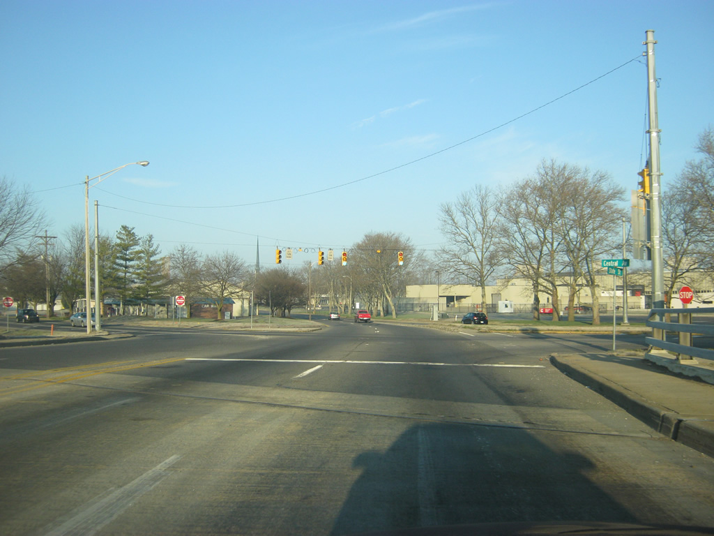
SR 46 (State Street) on the approach to the bridge crossing over Haw Creek. Up ahead is the point where the state road will split into the one way couplet of 2nd and 3rd Street. As well, the intersection with Central Avenue is up ahead to the right.
12/17/11
Now at the split with 2nd and 3rd Street. Westbound SR 46 follows 3rd Street while eastbound SR 46 follows 2nd Street. East of SR 46, both 2nd and 3rd Streets become Central Avenue, the main north-south arterial across Columbus.
12/17/11
SR 46 now follows the three lanes of westbound 3rd Street from the intersection with Central Avenue, 2nd Street and State Street.
12/17/11
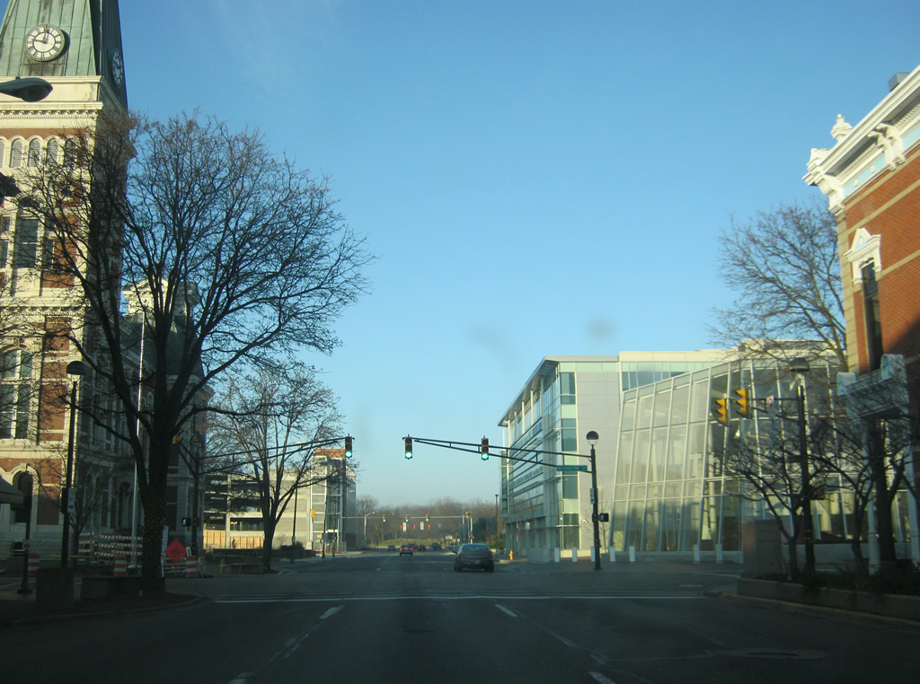
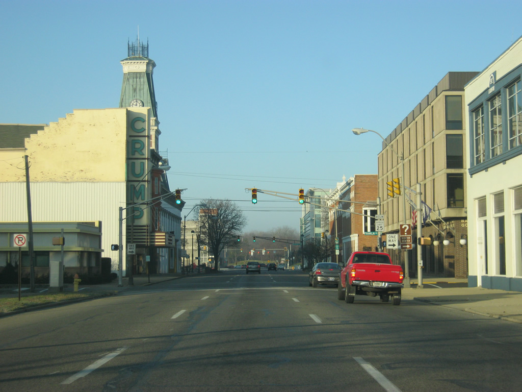
Views of SR 46 as it follows 3rd Street to the west into Downtown Columbus. The tower for the Bartholomew County Courthouse can be seen to the left as the one way road approaches it.
12/17/11
SR 46 (3rd Street) comes up to the intersection with Washington Street. Washington Street carried SR 46 north to 25th Street before the rerouting of the highway. Before then, SR 7 went all the way up to this point, but today has been truncated by SR 46 to outside of town.
12/17/11
Now at the intersection with SR 46 (3rd Street) and Brown Street. Brown Street, along with nearby Lindsay Street, used to carry SR 11 and for a while SR 46 (when it bypassed the first five blocks of Washington Street). Today they are both city streets. SR 11 south traffic is directed to continue west along SR 46 to its junction on the other side of the East Fork of the White River.
12/17/11
SR 46 crosses the Third Street Bridge over the East Fork of the White River as it leaves Downtown Columbus. Unlike the Second Street Bridge, which provides for a dramatic entry into the city, the Third Street Bridge is less dramatic. Until the Second Street Bridge was built, SR 46 followed the Third Street Bridge in both directions.
12/17/11
On the other side of the Third Street Bridge, SR 46 enters the intersection with SR 11 south. SR 11 exists in two segments, the northern one goes for 26 miles from SR 46 south through Seymour, ending at SR 250 in Jackson County. The southern segment goes for 30 miles through Floyd and Harrison Counties. At one time, SR 11 was given the designation of U.S. 31A for part of its routing from Seymour through Columbus.
12/17/11
A reassurance shield for SR 46 and a "To" Interstate 65 shield direct traffic along the four lane Jonathan Moore Pike. Jonathan Moore Pike is a four to six lane boulevard that connects Downtown Columbus with the interstate.
12/17/11
Views of SR 46 (Jonathan Moore Pike) as it heads west toward the interchange with Interstate 65. The boulevard goes through some floodplains as it heads west toward the freeway. Severe flooding in 2008 left this area covered by waters from the river, severing Columbus from the interstate for several days.
12/17/11
Coming up on the intersection with SR 46 (Jonathan Moore Pike) and Johnson Boulevard. Highway-oriented retail surrounds the intersection. Even some of the stoplights have a particular architectural style. The area of SR 46 around the Interstate 65 interchange was designed to provide a fitting gateway into the city of Columbus, a larger part of the Front Door Project.
12/17/11
Up ahead, SR 46 (Jonathan Moore Pike) has its interchange with Interstate 65. Interstate 65 goes for 887.3 miles from Gary to the north, through Indianapolis, Louisville, Nashville, Birmingham and Montgomery before ending at Interstate 10 in Mobile, Alabama.
12/17/11
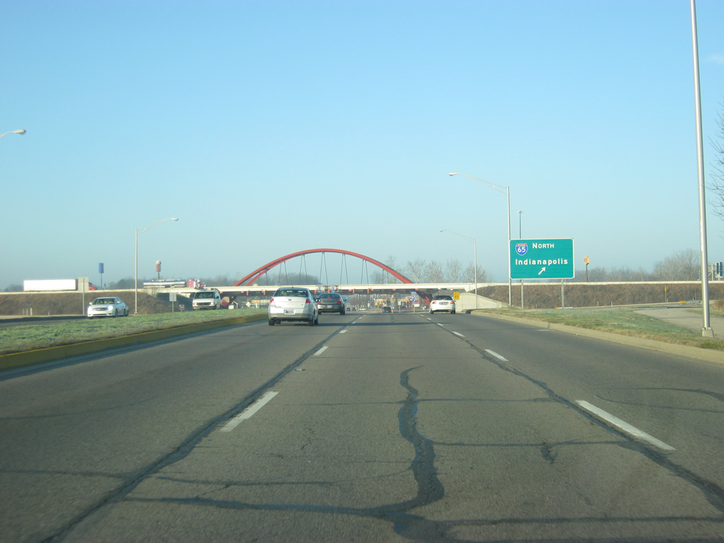
Traffic bound for Interstate 65 north toward the capital city of Indianapolis, along with the communities of Edinburgh, Franklin, Greenwood, Lebanon, Lafayette and the greater Chicago area are directed to turn toward the right as SR 46 (Jonathan Moore Pike) approaches the Single-Point Urban Interchange (SPUI) with Interstate 65.
12/17/11
Traffic bound for the communities of Seymour, Scottsburg and the Ohio River city of Louisville, Kentucky are directed to the two left turn lanes at the Single-Point Urban Interchange (SPUI).
12/17/11
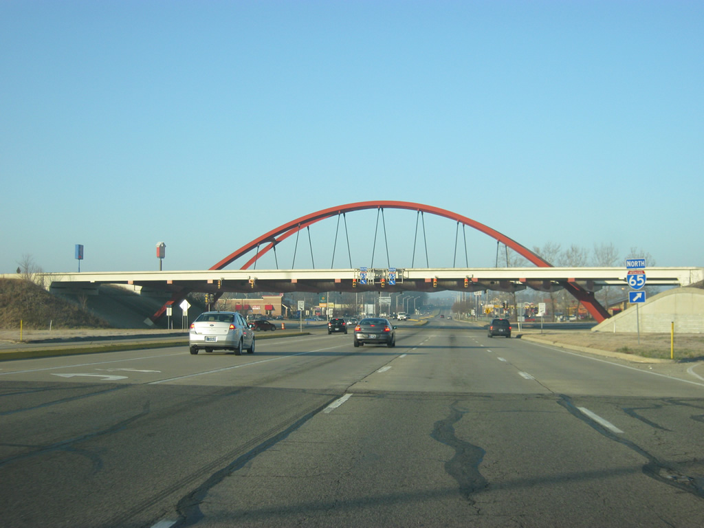
A decorative arch marks the SPUI between SR 46 (Jonathan Moore Pike) and Interstate 65. The interchange was originally built as a diamond interchange, but was changed into a SPUI, then the first in Indiana, in 1996. The decorative arch feature was added because of the fact that Columbus's claim to fame is its architectural diversity. Officially, this bridge is known as the Front Door Bridge.
12/17/11
An SR 46 reassurance shield to the west of the interchange with Interstate 65. The highway remains six lanes up to the intersection with Old Nashville Road, which follows the back of an upcoming shopping center.
12/17/11
SR 46 (Jonathan Moore Pike) reduces to four lanes as the far right lane turns into Old Nashville Road. Up ahead is the intersection with Goeller Boulevard.
12/17/11
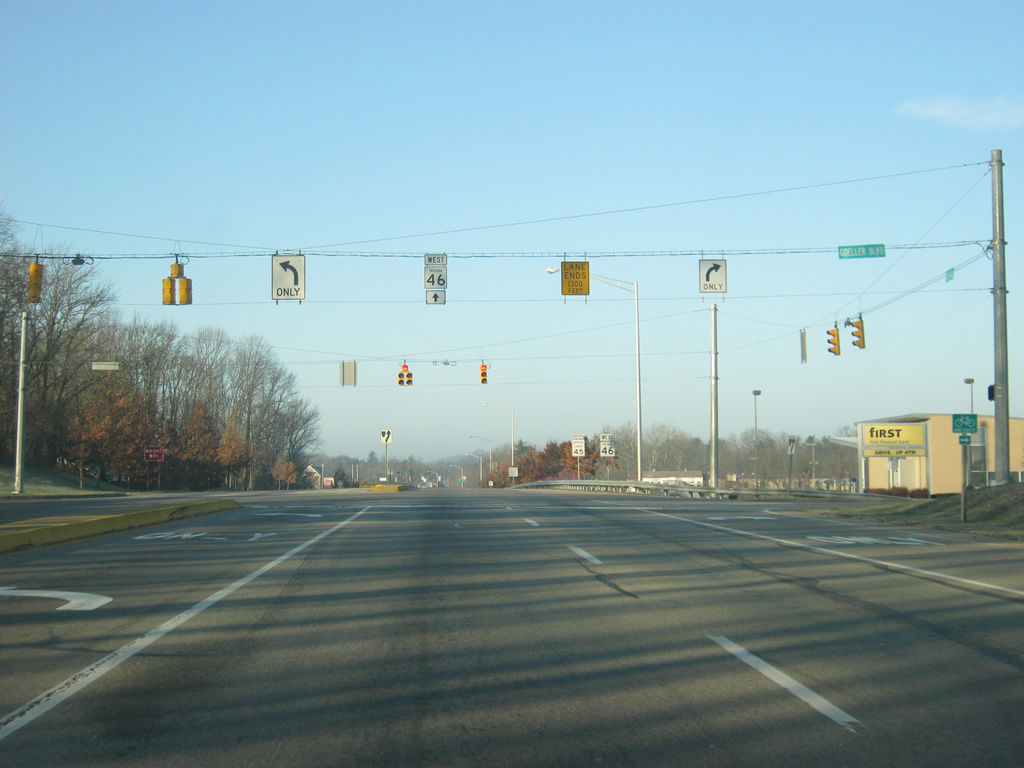
Now at the Goeller Boulevard intersection. Goeller Boulevard provides quick access from several upscale subdivisions to SR 46 (Jonathan Moore Pike) and Interstate 65. Traffic staying west on SR 46 is directed to stay in the left lane as the right lane is set to end in 1,300 feet.
12/17/11
Now at the intersection with Rocky Point Road/Pine Ridge Drive. The roads serve a shopping center and apartment complex that are part of the new suburban growth to the west of Columbus.
12/17/11
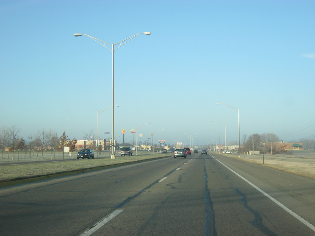
West of the Rocky Point Road/Pine Ridge Drive intersection, SR 46 reduces to two lanes.
12/17/11
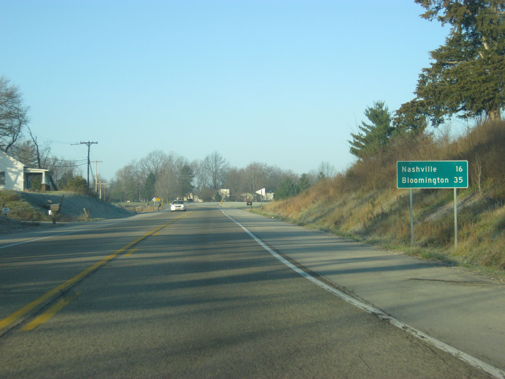
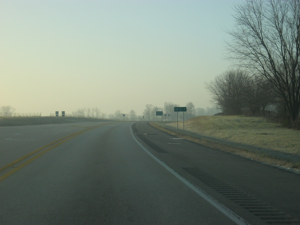
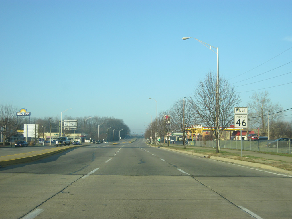
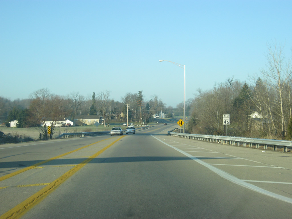
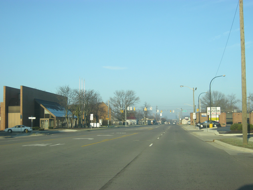
West of the Columbus area, the Brown County seat of Nashville is 16 miles away whereas the city of Bloomington, home to Indiana University, is 35 miles away.
12/17/11
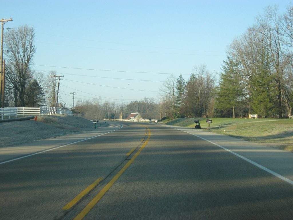
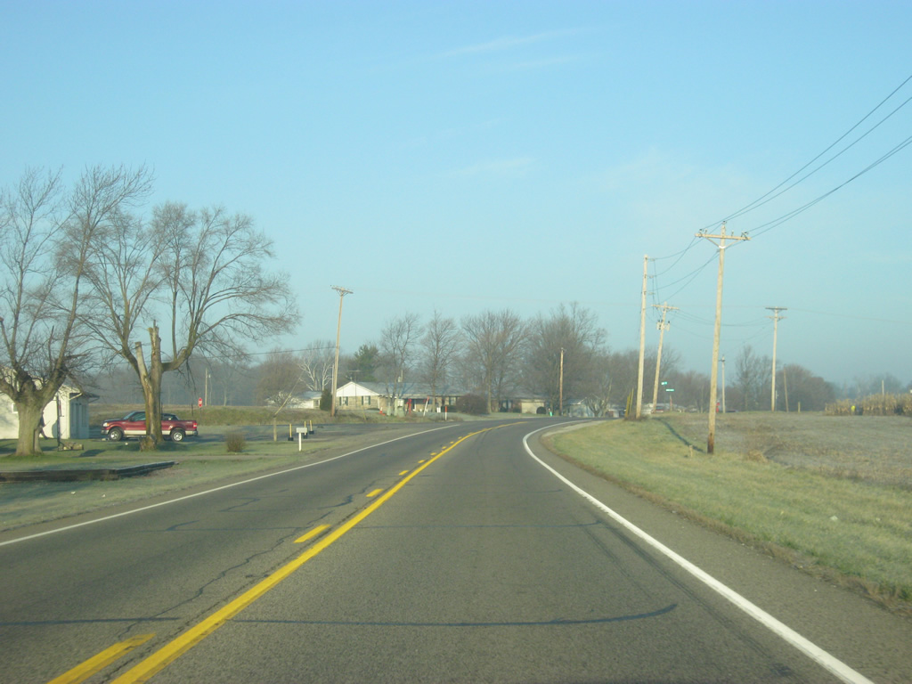
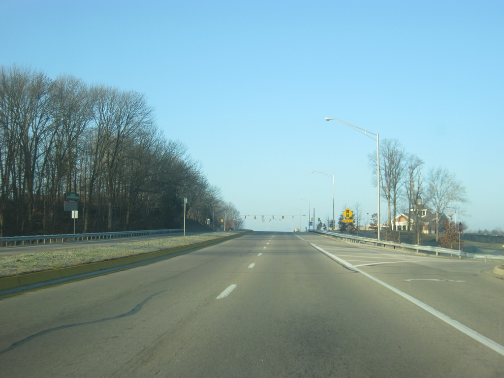
West of Columbus, SR 46 starts to enter the hill country of the south-central part of the state. SR 46 is an important highway in between Interstate 65 and Bloomington and is a well-traveled commuter route for those in the area.
12/17/11
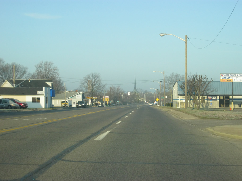
Posted at various locations along SR 46 west are signs for the Old Nashville Road. This road once carried SR 46 through western Bartholomew County. The Camp Atterbury complex lies to the north as it covers the northwestern corner of the county.
12/17/11
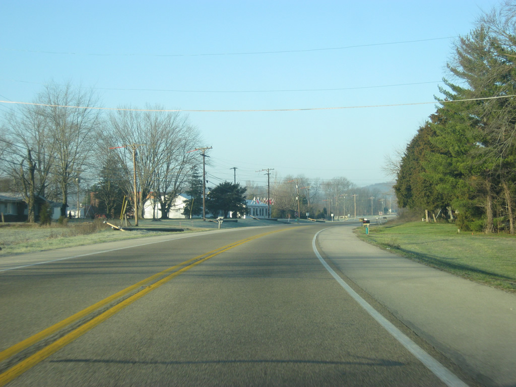
SR 46 now enters Brown County (population 15,242). Brown County is famous for the hilly terrain that covers the entire county. In the past, this isolated the county from the rest of the state and brought artists who sought out seclusion. Over time, the county was connected via SR 46 and SR 135 and it has since become a vacation spot for those in the Indianapolis and surrounding areas clamoring to be out in the outdoors.
12/17/11

Photo Credits:
- Thomas Decker: 12/17/11
Connect with:
Page Updated Tuesday August 19, 2014.