
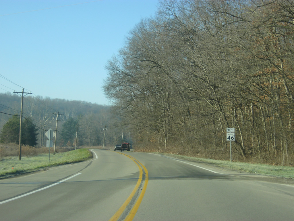
State Road 46 West - Brown County

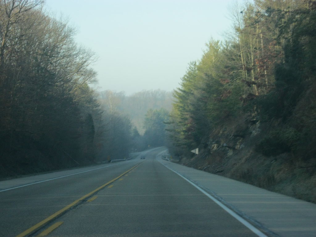
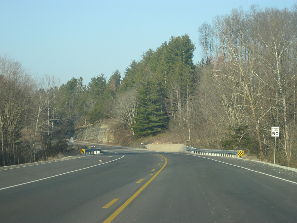
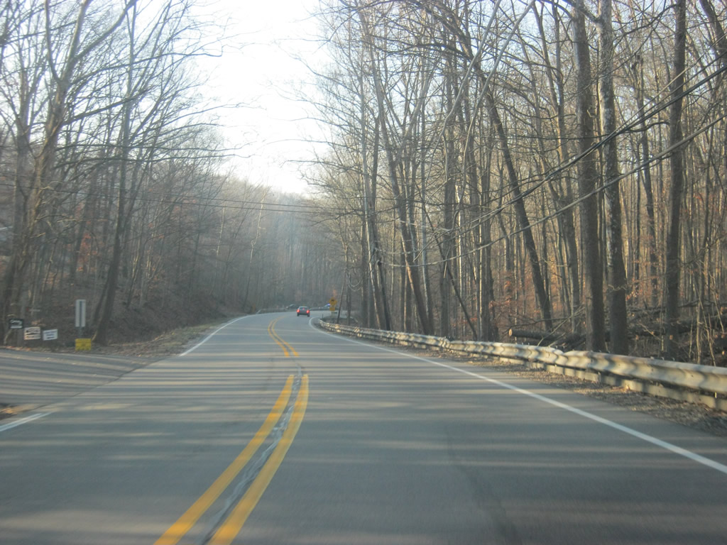
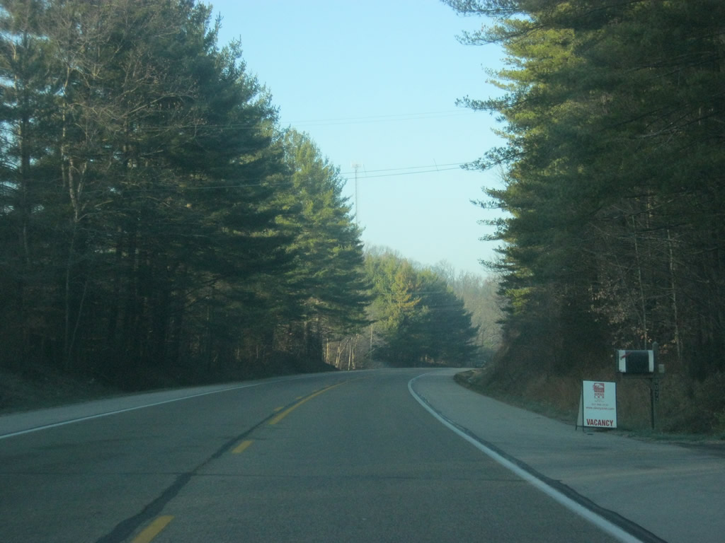
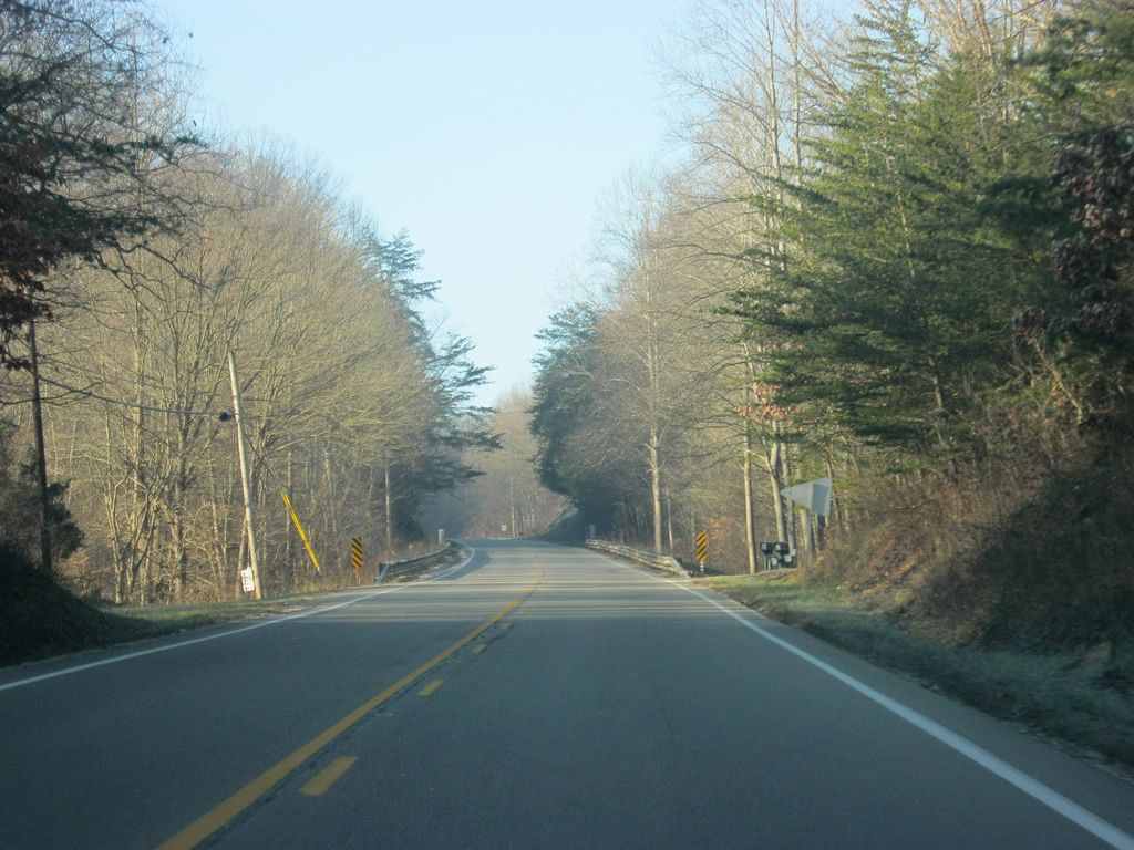
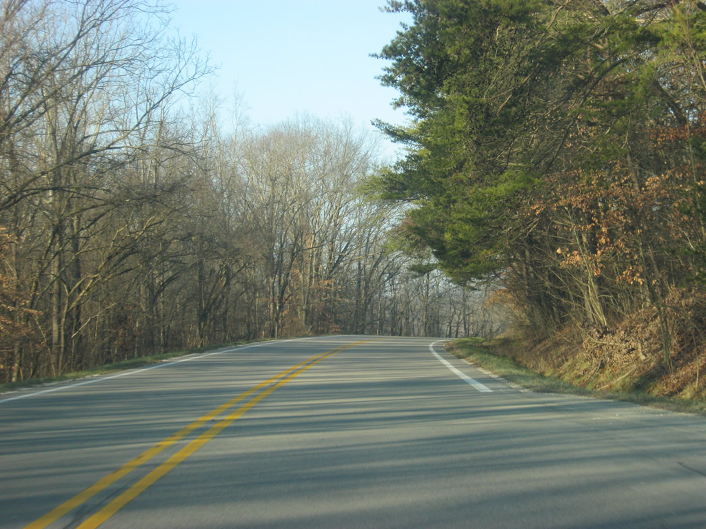
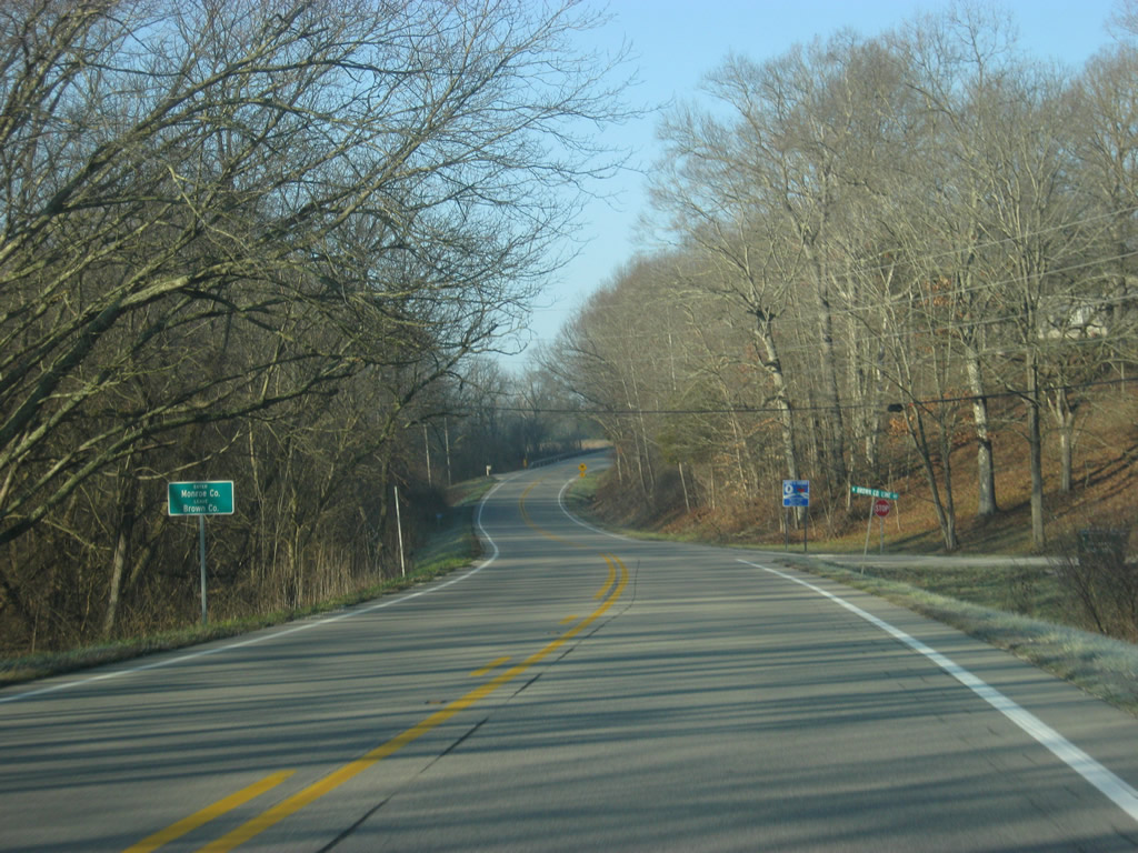
West of the county line, SR 46 continues to wind itself through some of the hills as it goes deeper into Brown County. Rock cuts and pine trees abut the highway on this early late-fall morning along SR 46. SR 46 from Bloomington to Columbus is usually listed among the most scenic highways in Indiana and at times in Fall can bring heavy traffic to this stretch of roadway.
12/17/11
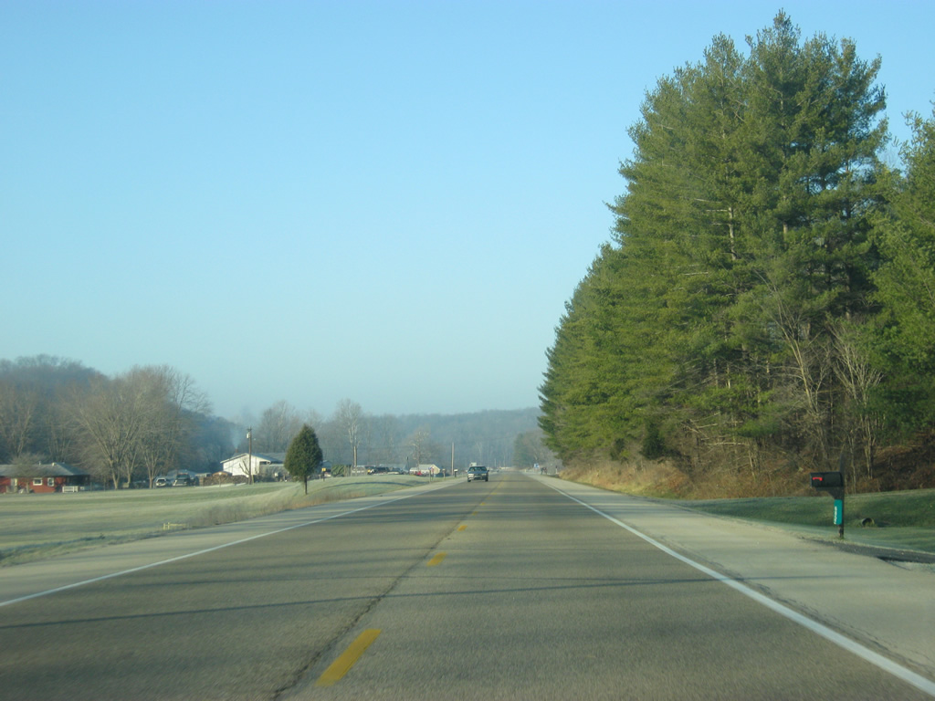
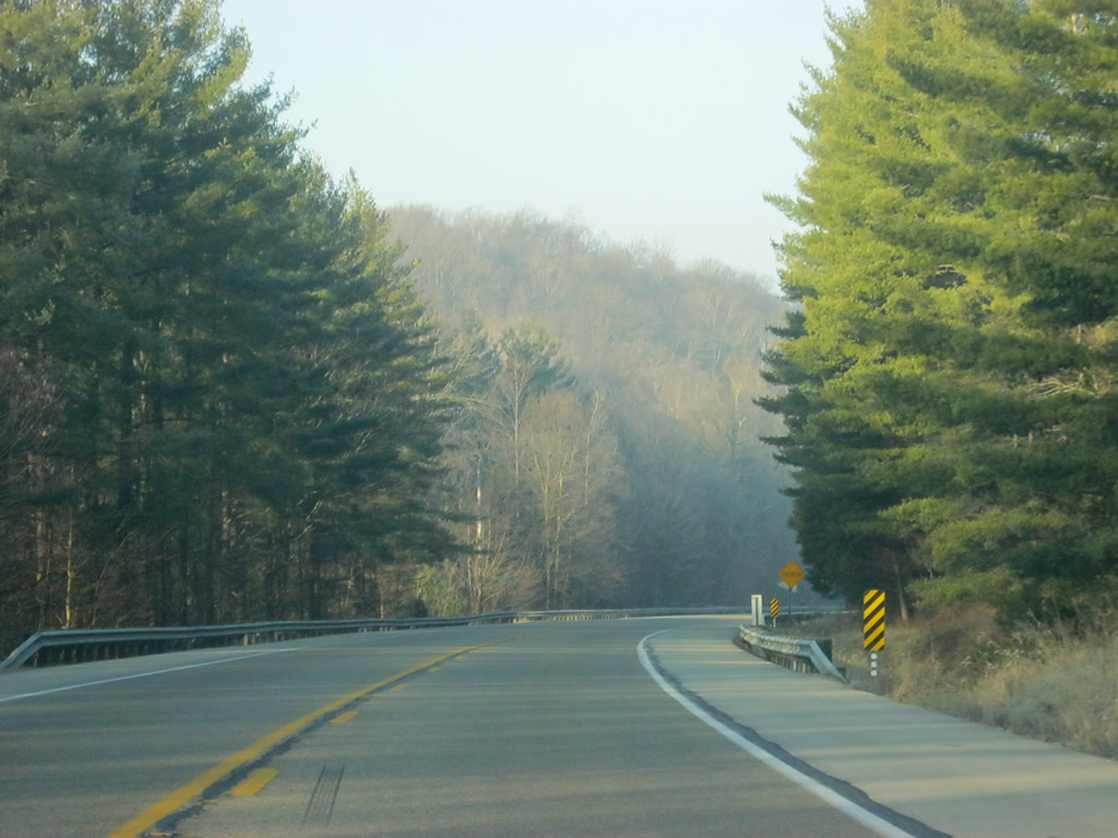
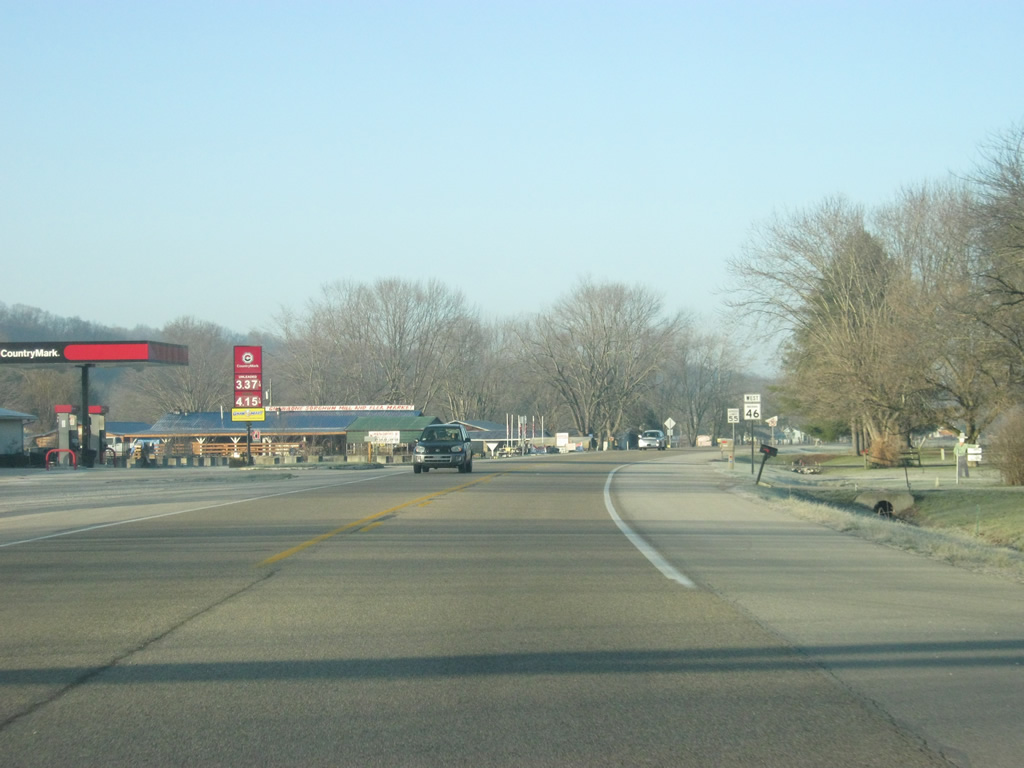
Henderson Creek valley widens out at Clarksdale, yielding to agricultural areas along the south side of SR 46. Green Valley, fed by the waters of Gnaw Bone Creek, stretches to the north.
12/17/11
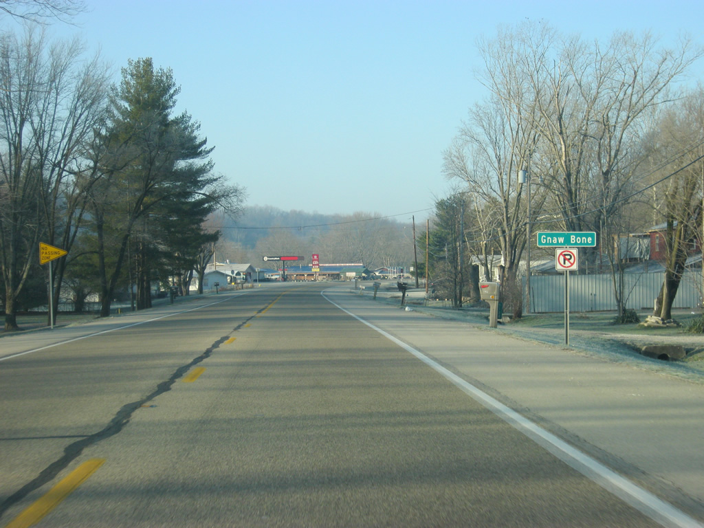
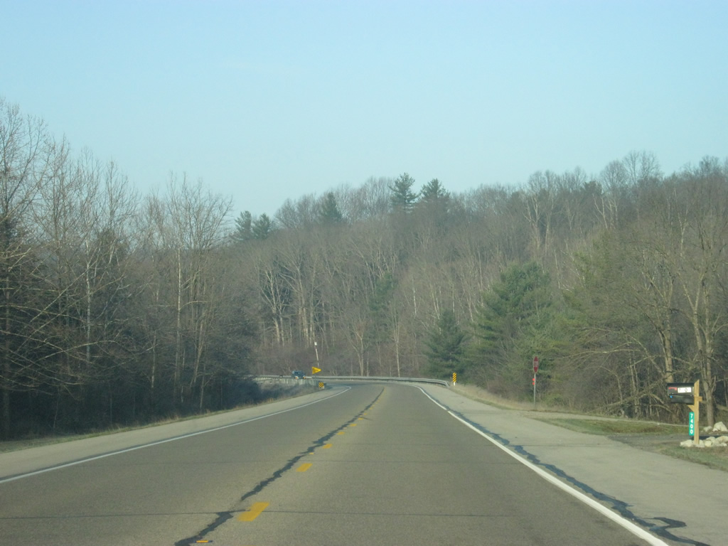
Among the more curious place names in the state, SR 46 enters the community of Gnaw Bone.
12/17/11
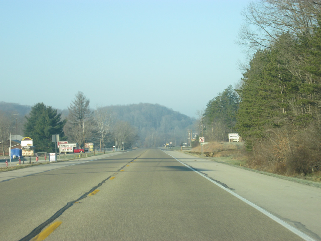
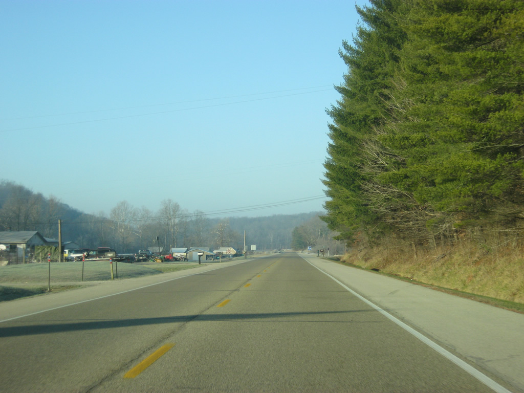
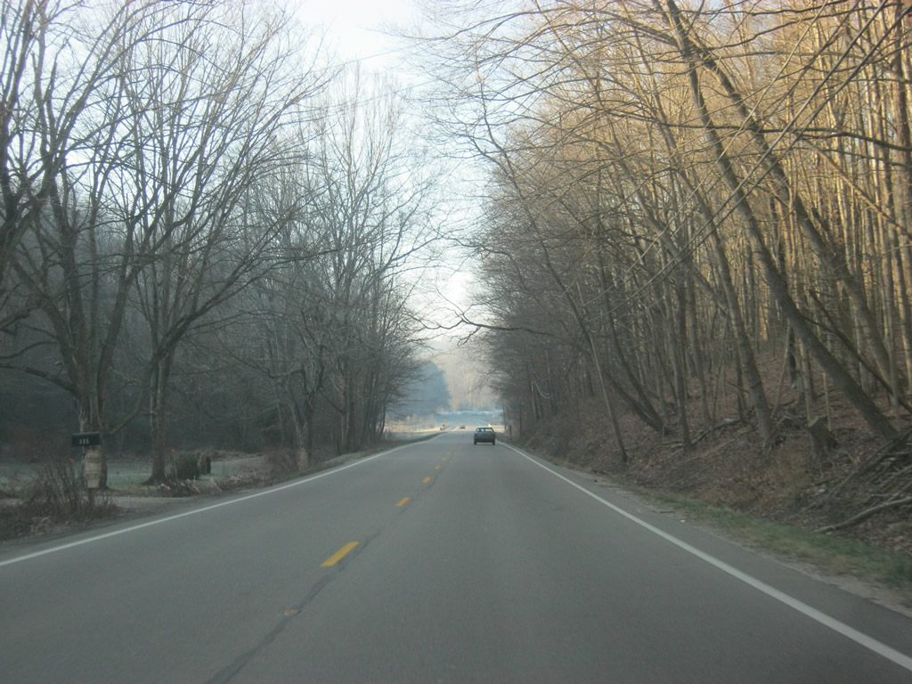
West of Gnaw Bone, SR 46 heads into the valley of Salt Creek. The next several miles for SR 46 are within the valley.
12/17/11
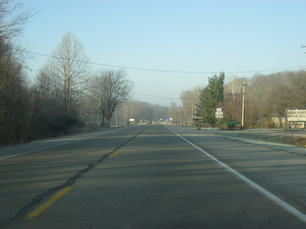
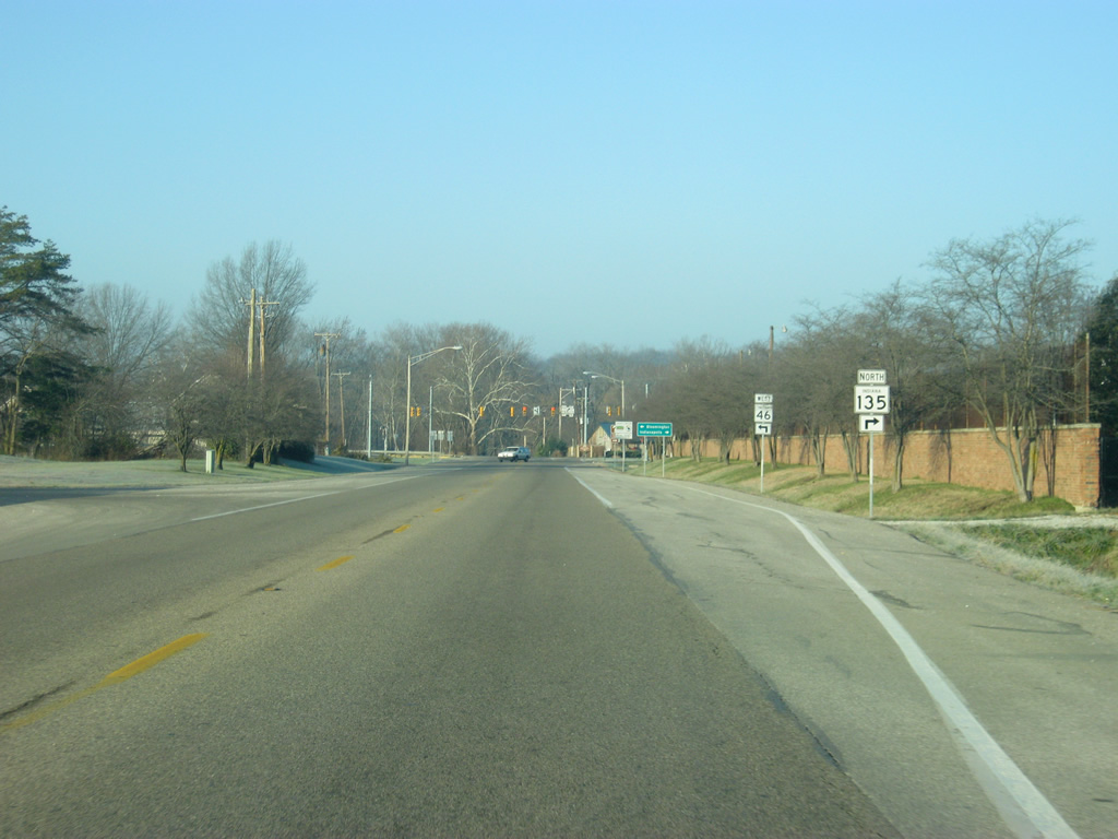
SR 46 approaches the intersection with SR 135 south. SR 135, originally SR 35, goes for nearly 139 miles from the Ohio River in Mauckport through Corydon, Salem, Brownstown and Nashville before heading north to its end in Indianapolis at U.S. 31.
12/17/11
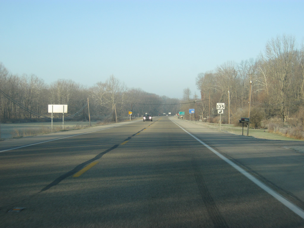
SR 135 heads to the south while the northbound part heads west along SR 46 for an overlap that will last for a few miles to Nashville.
12/17/11
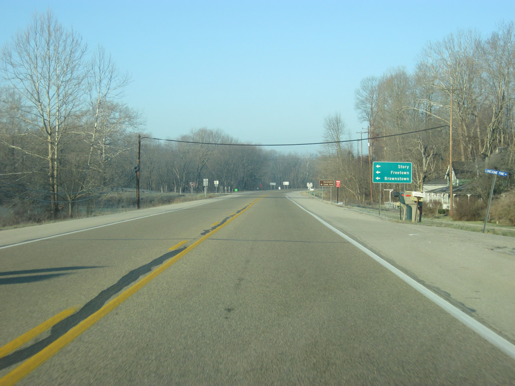
The small towns of Story and Freetown as well as the Jackson County seat of Brownstown can be reached via SR 135 to the south. The highway will curve many times as it heads through the heart of the Brown County hills to the south of SR 46. The Horseman's Camp Area for the Brown County State Park is also located south along SR 135.
12/17/11
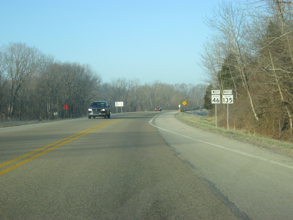
West of the junction with SR 135 south, SR 46 is now joined with SR 135 north.
12/17/11
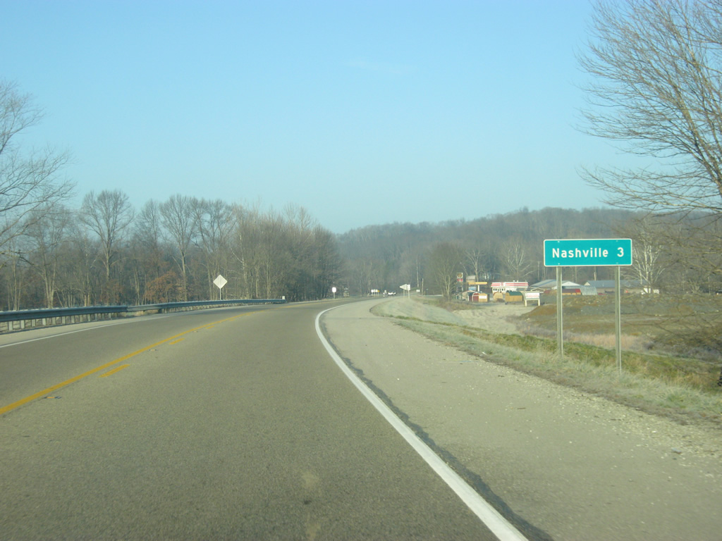
SR 46 west & 135 north continue three miles into Nashville.
12/17/11
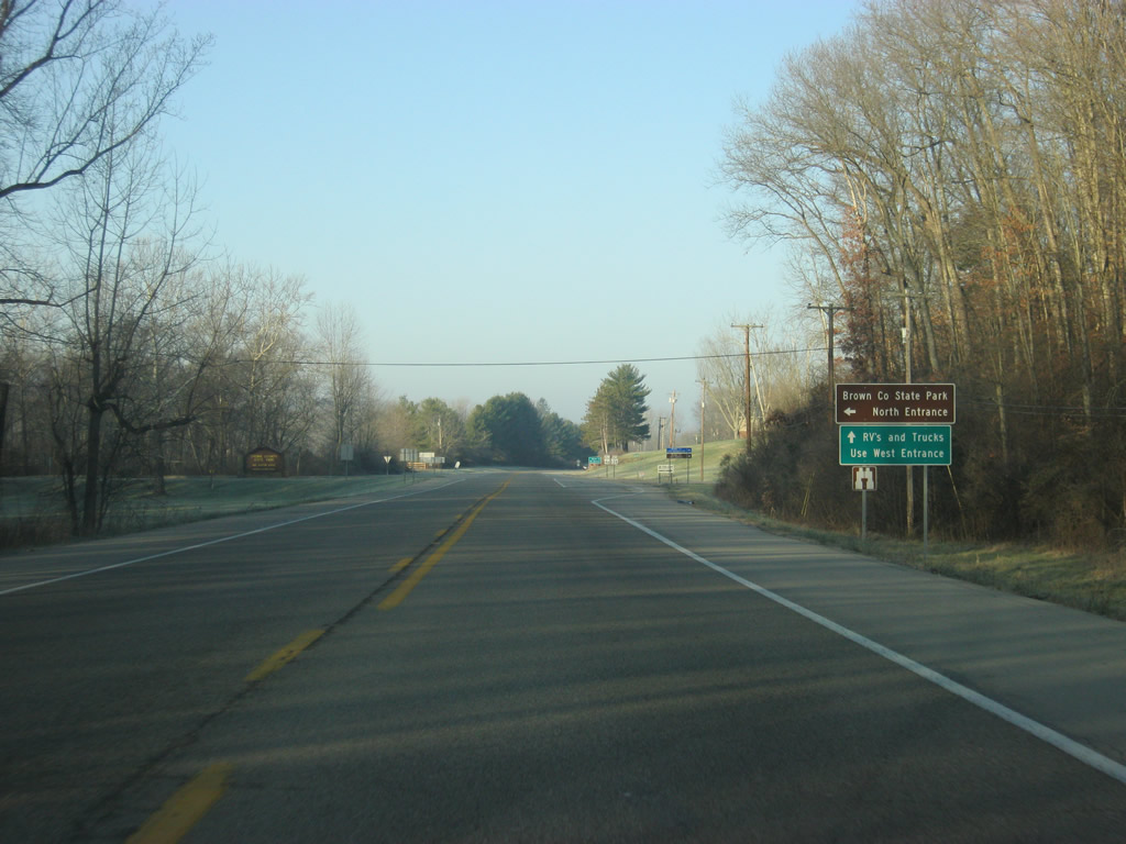
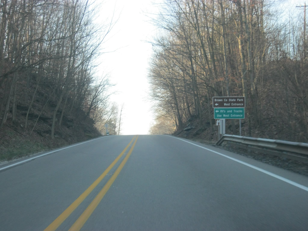
SR 46 west & 135 north come up to the North Entrance to Brown County State Park. At 15,776 acres, Brown County State Park is the largest state park in Indiana and by far the most-visited, bringing in one million visitors a year. The park is formed along the many ridges and valleys of the Knobstone Escarpment that forms the heart of the Brown County hill system. Those who are visiting with RVs and Trucks are directed to use the West Entrance into the park since the North Entrance has some clearance issues that might affect those vehicles. This is because of the Ramp Creek Covered Bridge that exists at the entrance.
12/17/11
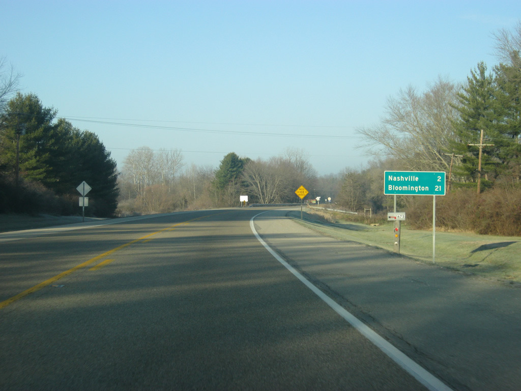
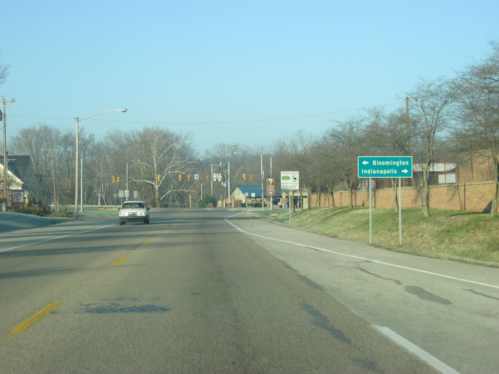
West of the North Entrance, Nashville is only two miles way while Bloomington is now 21 miles to the west.
12/17/11
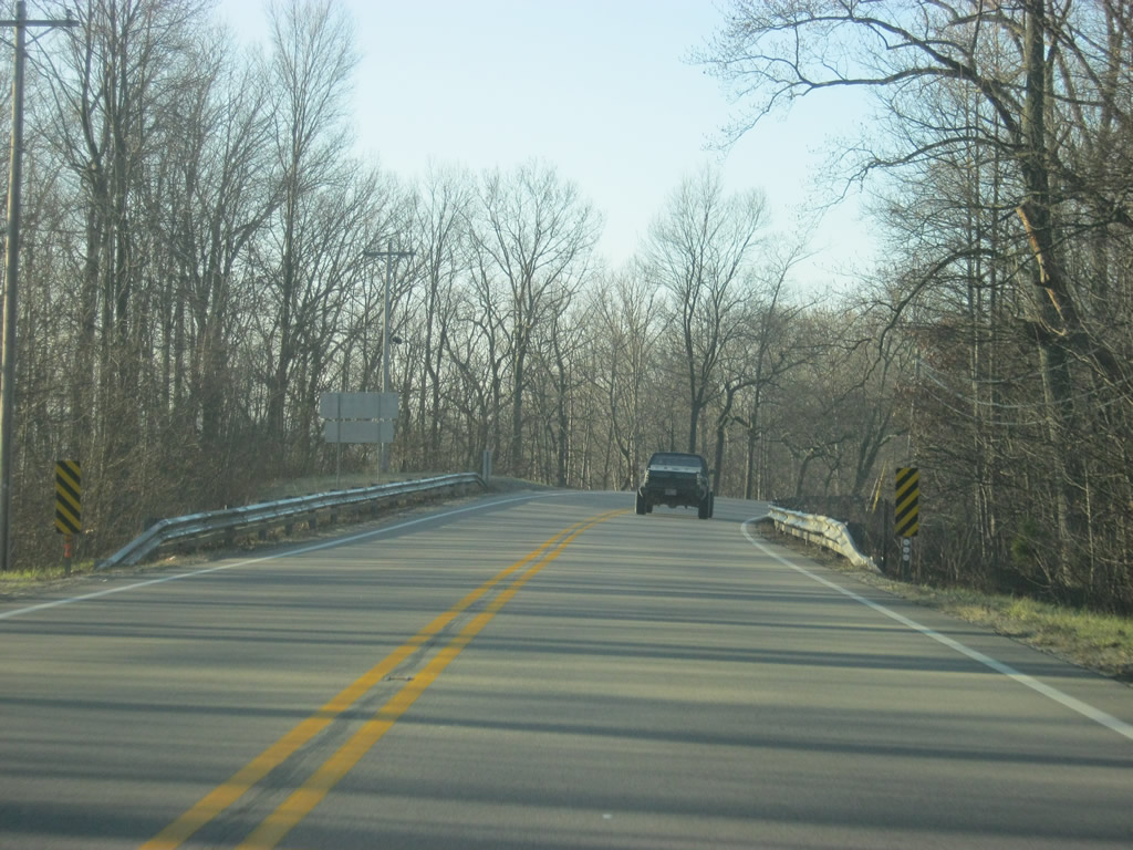
SR 46 east & 135 north rise up past some rock cuts as the highway spans the North Fork Salt Creek ahead of the Nashville area.
12/17/11
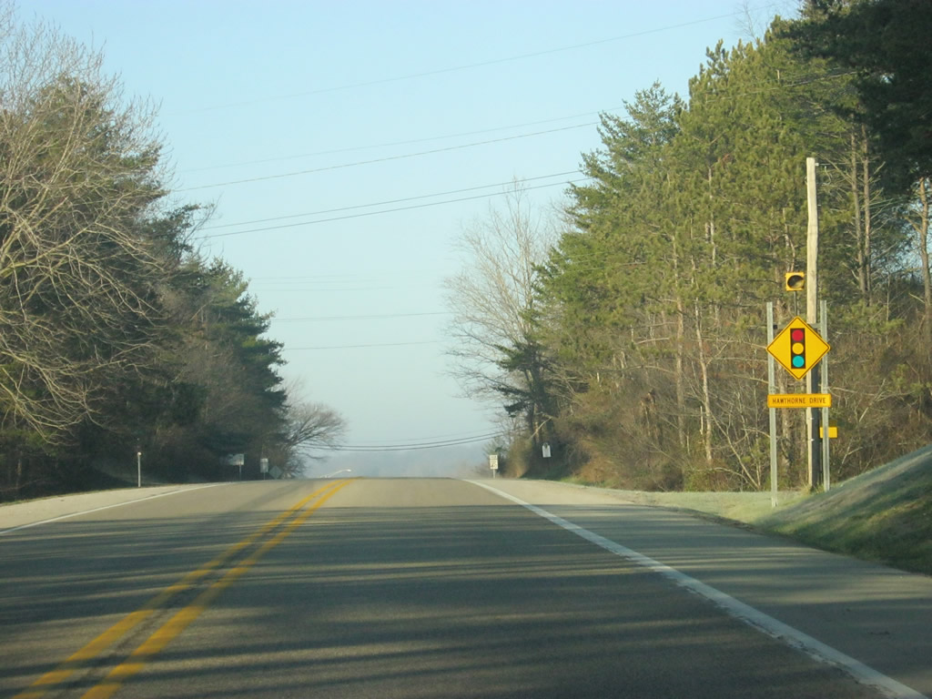
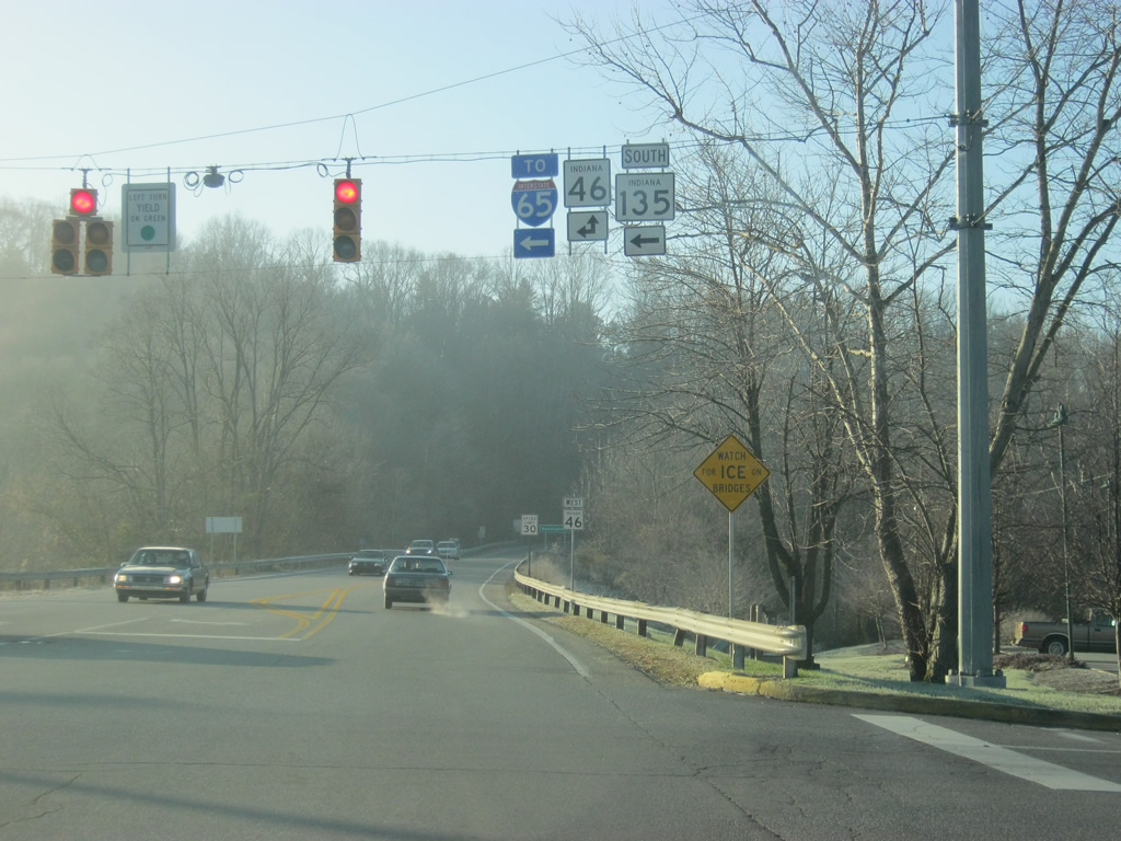
Now SR 46 & 135 approach the first stoplight since leaving Columbus, at Hawthorne Drive. Brown County has three stoplights total, two of them along SR 46, the other along SR 135 north in Downtown Nashville.
12/17/11
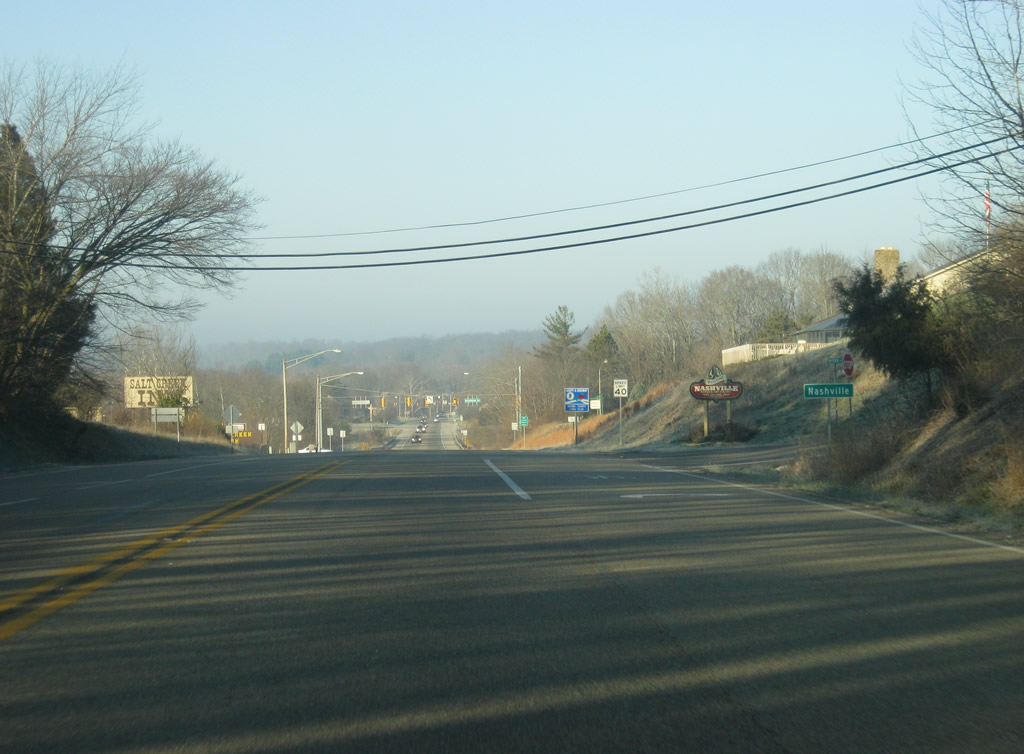
Coming up to the Hawthorne Drive intersection, SR 46 & 135 enters the city of Nashville (population 803). Nashville is Brown County's seat and largest community and is the center of the Brown County Art Colony. It is also among the most popular tourist attractions in the state with its many shops and restaurants that are around the Downtown.
12/17/11
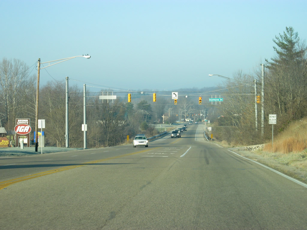
Now at the intersection between SR 46 west & 135 north and Hawthrone Drive. Hawthorne Drive serves Salt Creek Plaza. Brown County's only shopping center and McDonalds are among the attractions at the Salt Creek Plaza.
12/17/11
West of Hawthrone Drive, SR 46 bypasses the core of the town of Nashville to the south as it approaches the split with SR 135 north.
12/17/11
SR 135 continues north as Van Buren Street through the heart of Downtown Nashville. North of there, the road winds its way through the hills of the county past Beanblossom, Morgantown, Trafalgar, Bargersville, Greenwood and finally Indianapolis, which is the northern terminus for the highway.
12/17/11
Now looking south from SR 135 south (Van Buren Street) at the point where SR 46 continues west out of Nashville. At the signalized intersection between the two highways, SR 135 continues to the north while SR 46 heads to the southwest.
12/17/11

Now leaving Nashville, Bloomington is 16 miles away.
12/17/11
Leaving the Nashville area, SR 46 begins to climb its way up the ridge that spans the central part of Brown County, going through Brown County State Park which lies to the east and south of the highway.
12/17/11
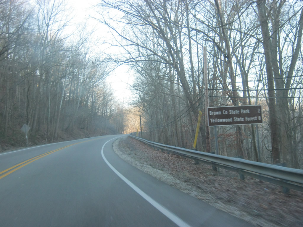
The West Entrance to Brown County State Park is two miles away while Yellowwood State Forest, a more primitive camping facility, is eight miles away.
12/17/11
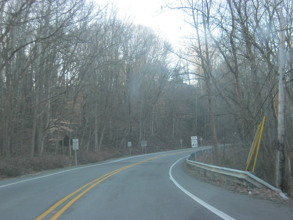
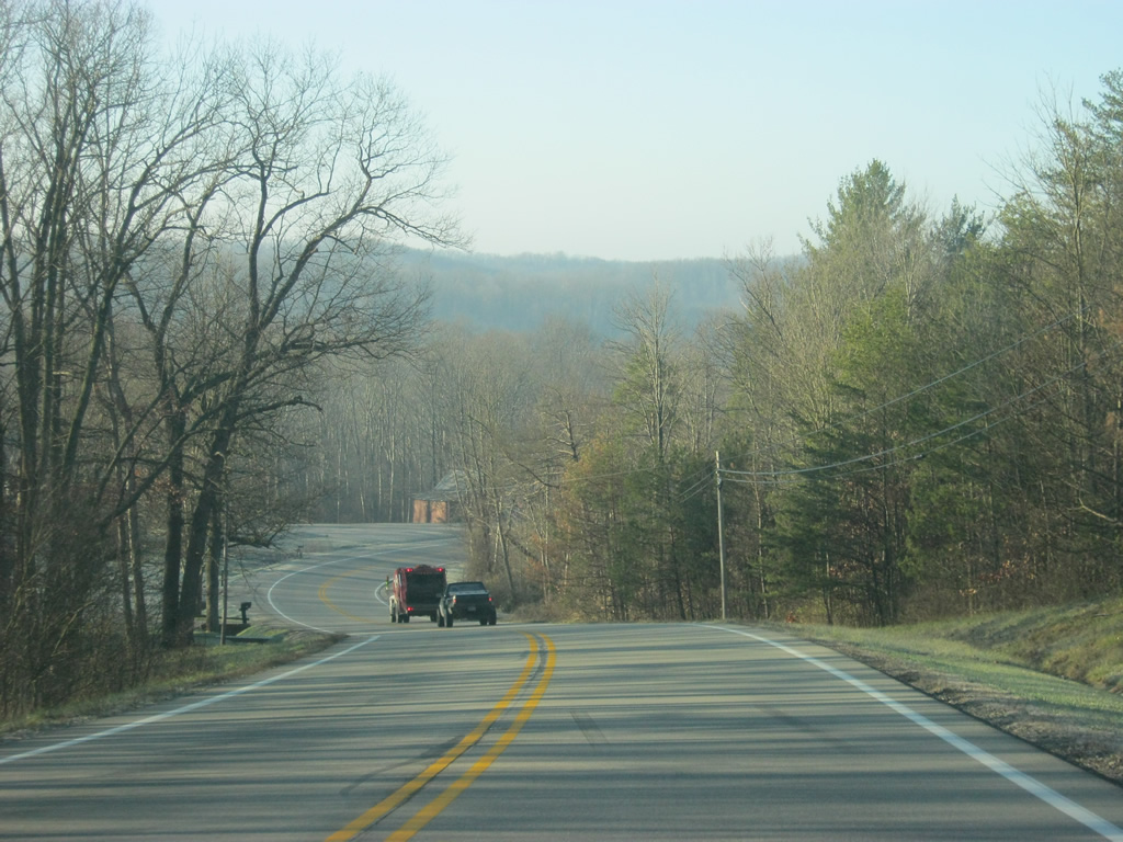
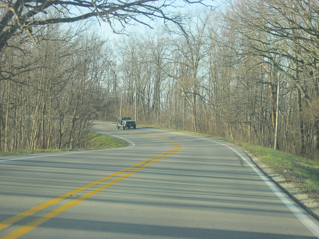
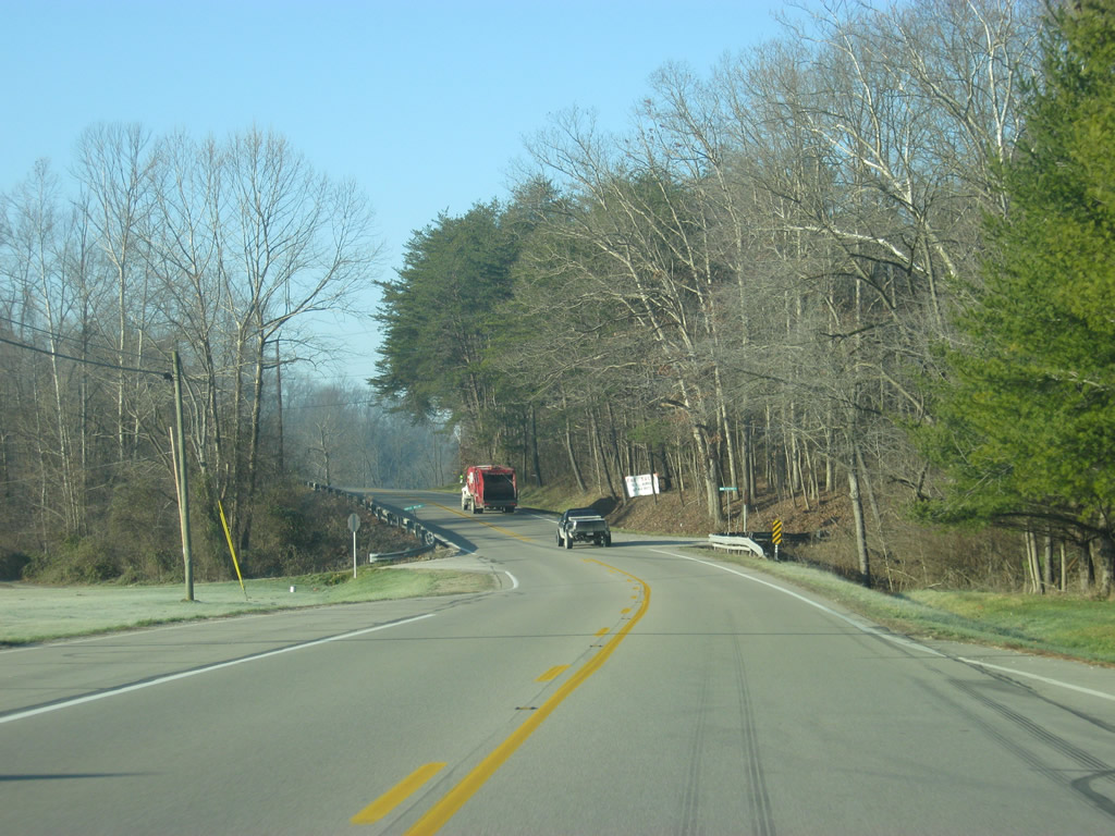
Views of SR 46 as it makes its way up the ridge en route to the West Entrance to Brown County State Park. The western segment of the highway across Brown County goes through more hills and valleys than the eastern segment.
12/17/11
Rising by Kelly Hill to the West Entrance of Brown County State Park, which as previously mentioned is the preferred entrance for RVs and Trucks.
12/17/11
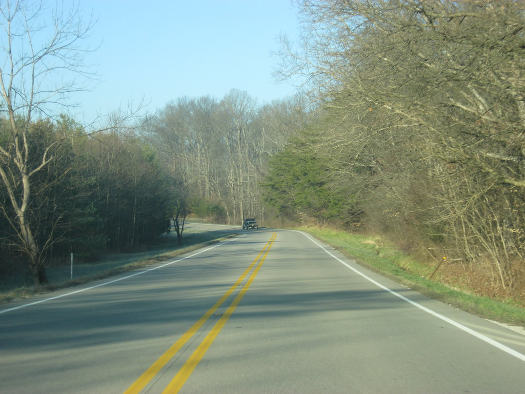
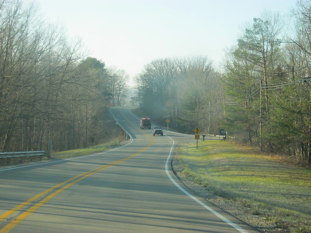
West of the West Entrance to Brown County State Park, SR 46 continues to wind its way through the hills and valleys of Brown County. The highway is generally rural with only a few homes located off the highway with several local, mainly gravel, roads connecting the highway into the deeper reaches of the county.
12/17/11
SR 46 lowers from the Gold Well Hollow area into a valley fed by Upper Schooner Creek.
12/17/11

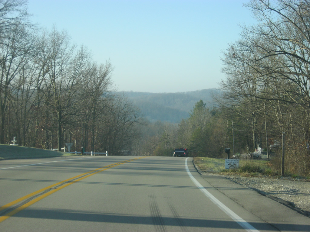
Now at the intersection with Yellowwood Road which leads to Yellowwood State Forest. The state forest offers primitive camping conditions for those who seek an alternative to the more modern Brown County State Park, as well as fishing along Yellowwood Lake.
12/17/11
A view of SR 46 to the west of the intersection with Yellowwood Road.
12/17/11
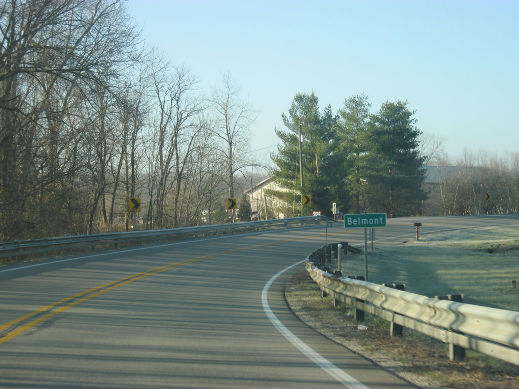
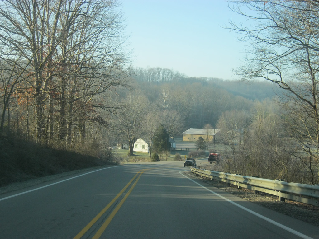
SR 46 enters the town of Belmont in western Brown County.
12/17/11
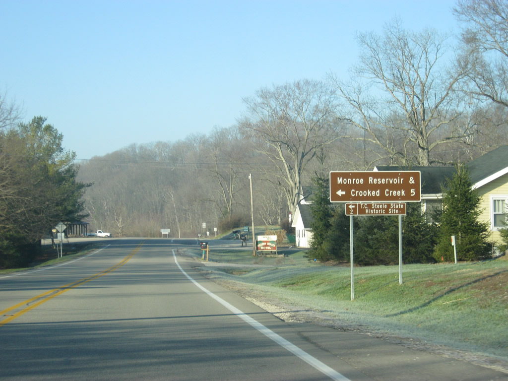
Within Belmont, SR 46 comes up to the intersection with T.C. Steele Road, which leads south to the T.C. Steel State Historic Site (two miles from here) and the eastern part of Monroe Reservoir and Crooked Creek Lake (five miles from here).
12/17/11
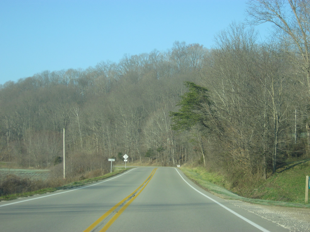
SR 46 hugs the southern slopes of Mill Ridge north of Monroe Reservoir to the county line.
12/17/11
SR 46 enters Monroe County (population 137,947). Monroe County is home to Bloomington and Indiana University and is the business and service hub for South central Indiana.
12/17/11

Photo Credits:
- Thomas Decker: 12/17/11
Page Updated Tuesday August 19, 2014.