
State Road 46 West - Monroe County

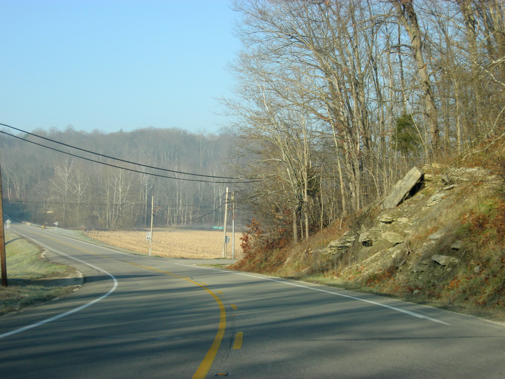
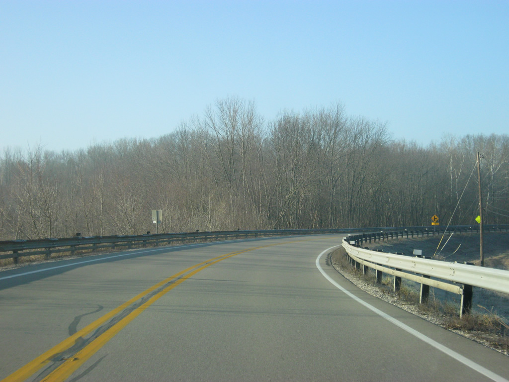
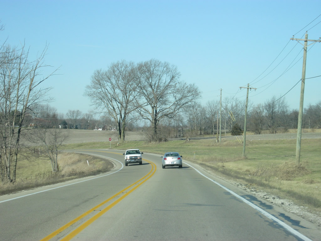
Despite crossing into Monroe County, the scenery for SR 46 does not change. The highway continues to curve and wind its way into valleys and hills as it heads for Bloomington.
12/17/11
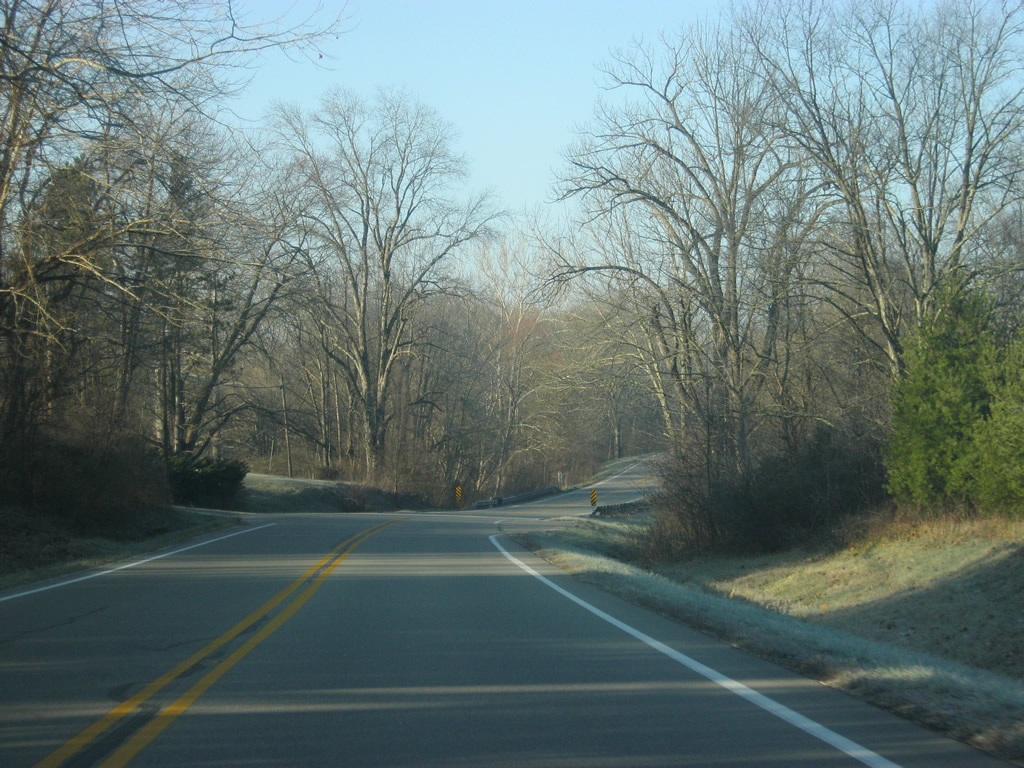
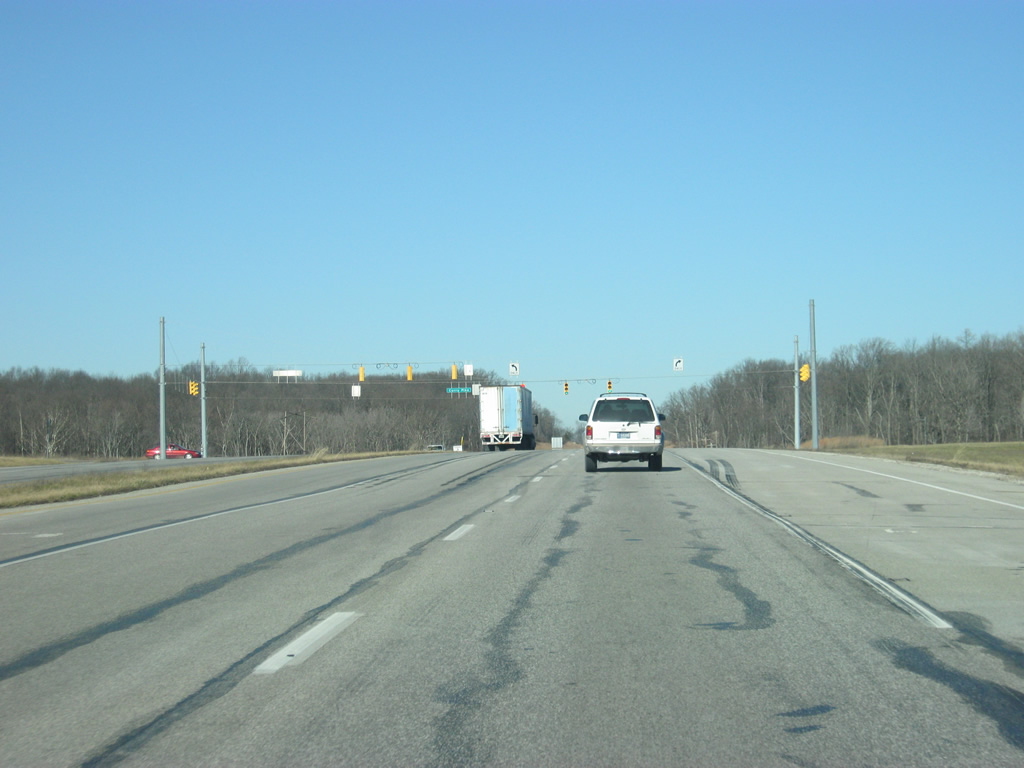
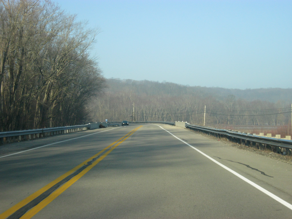
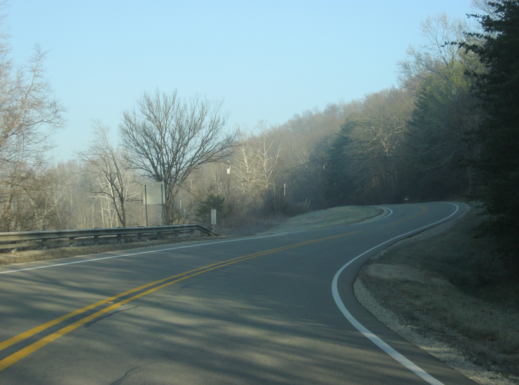
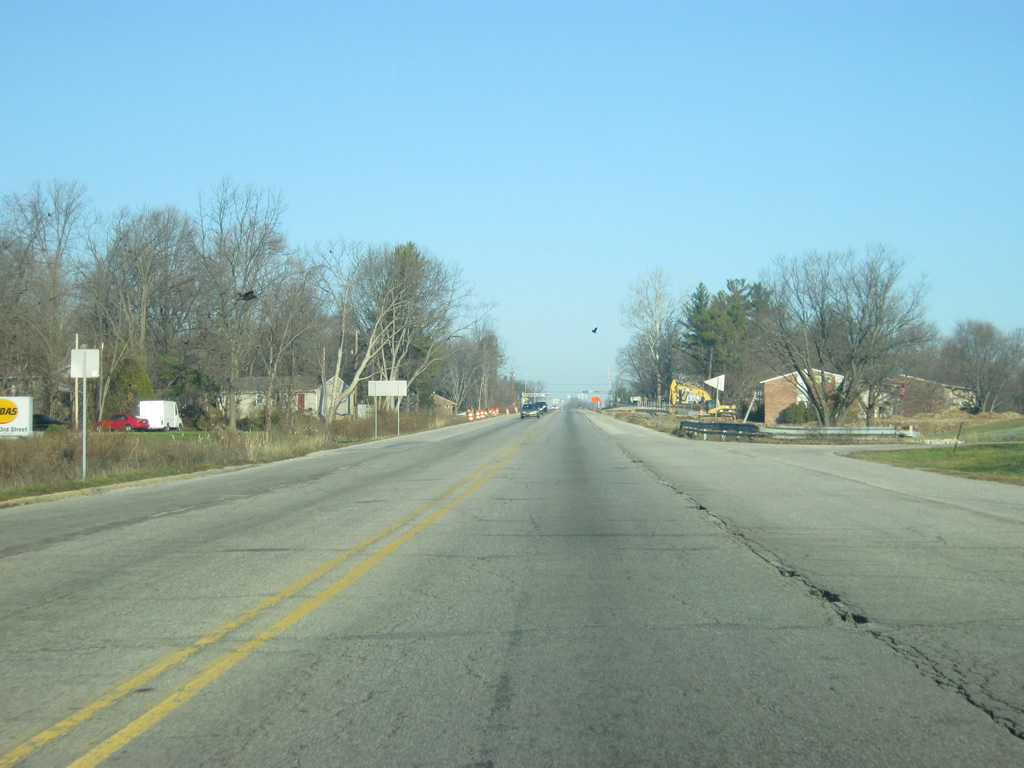
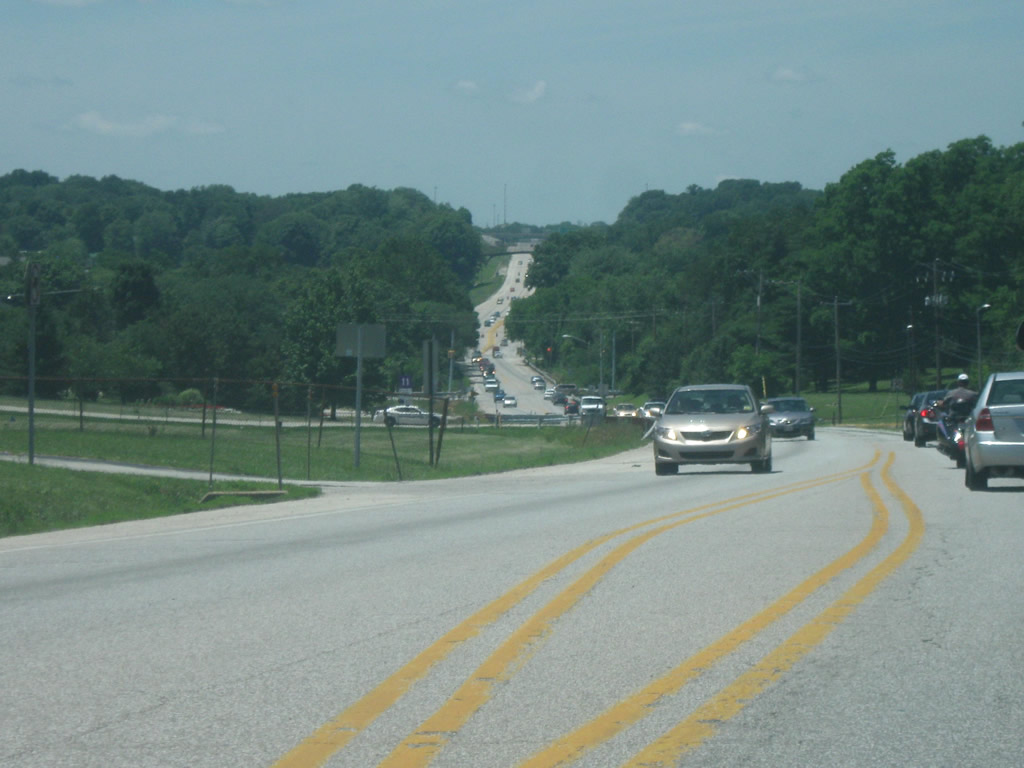
Encircling southern reaches of Brown Ridge, SR 46 curves northwest across a field ahead of Stephens Creek and the climb onto Pike Hill.
12/17/11
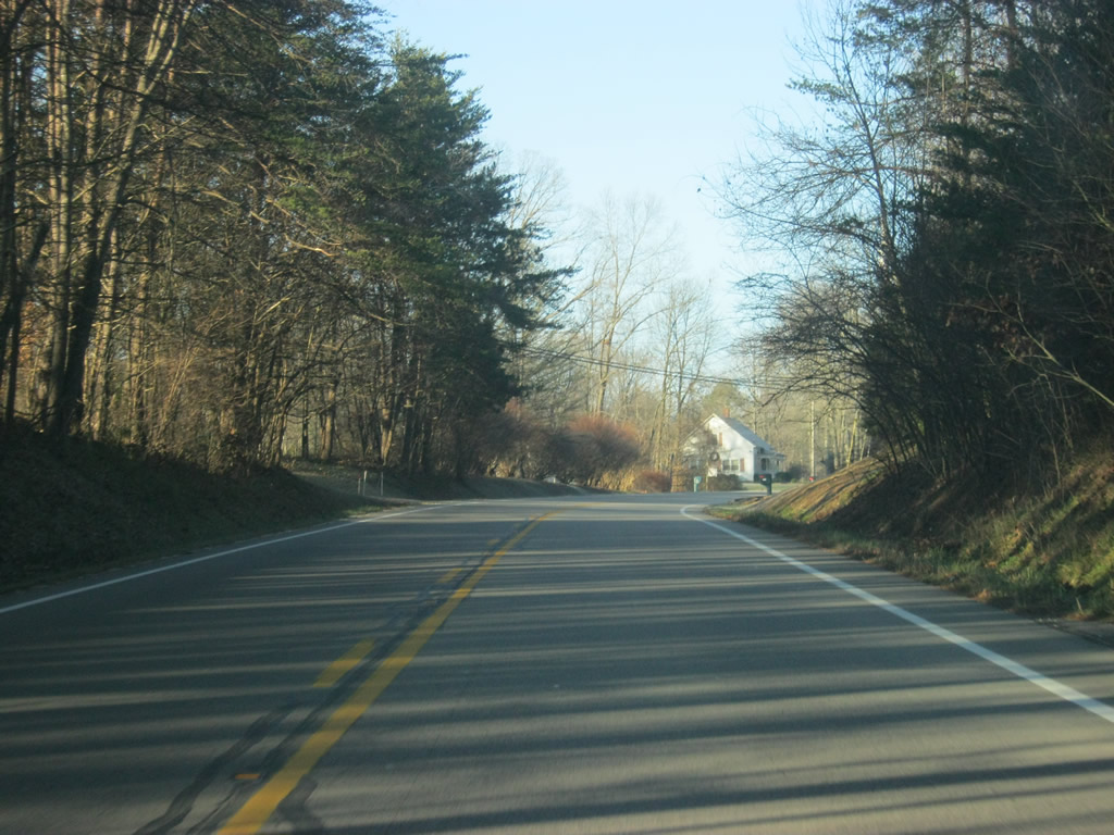
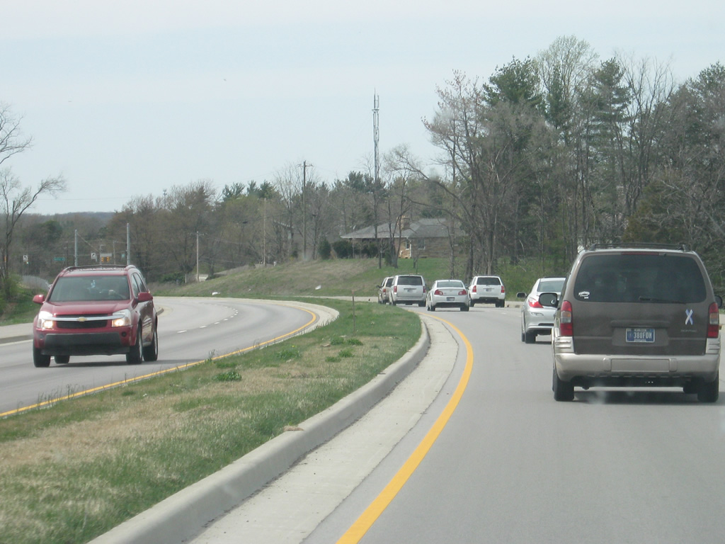
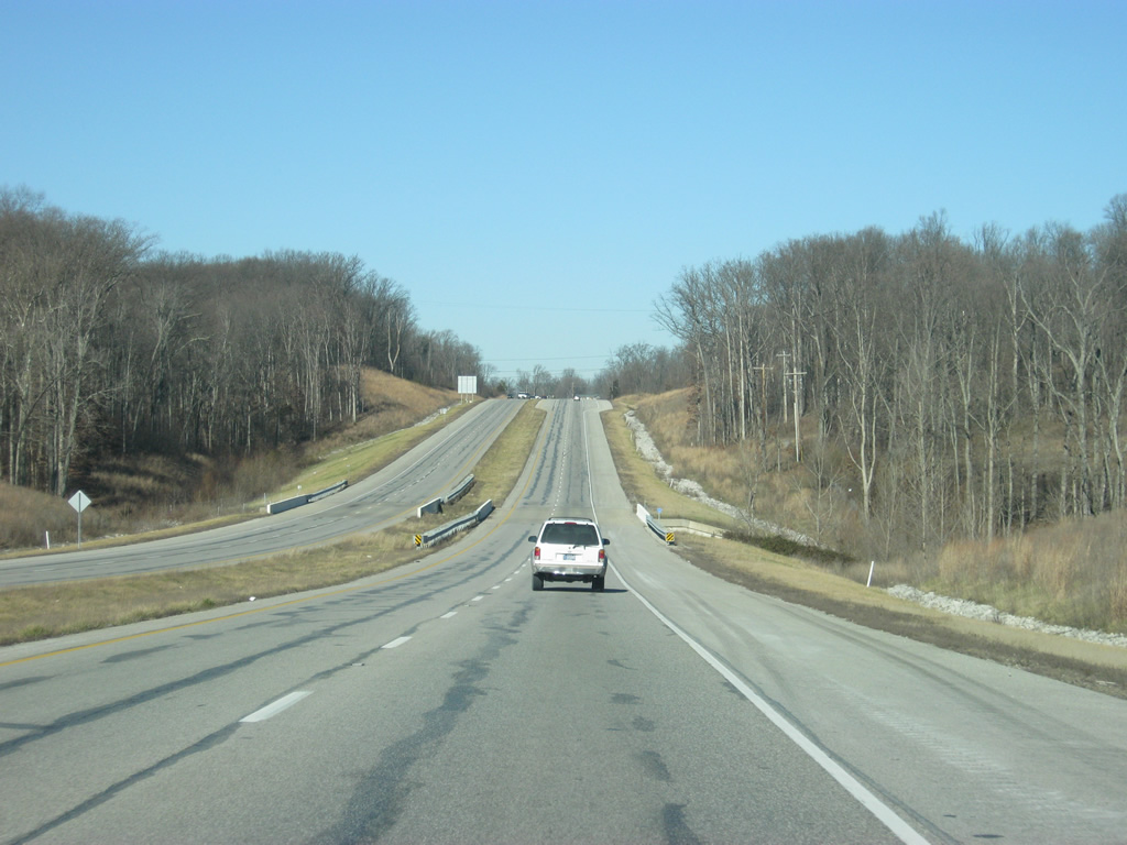
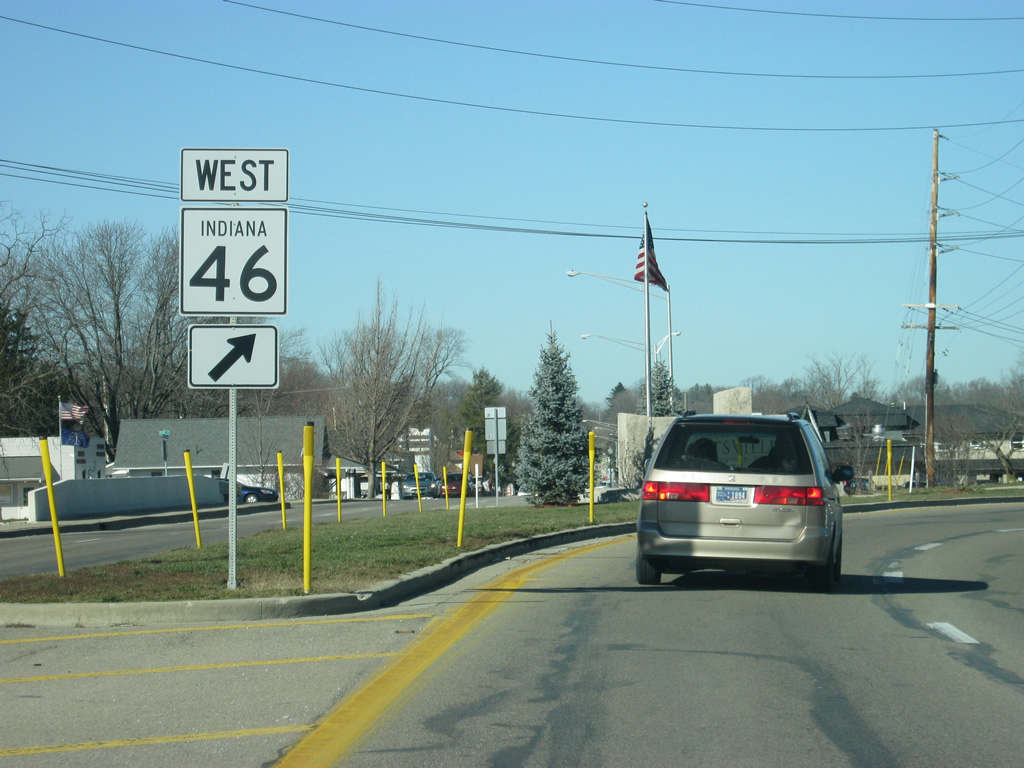
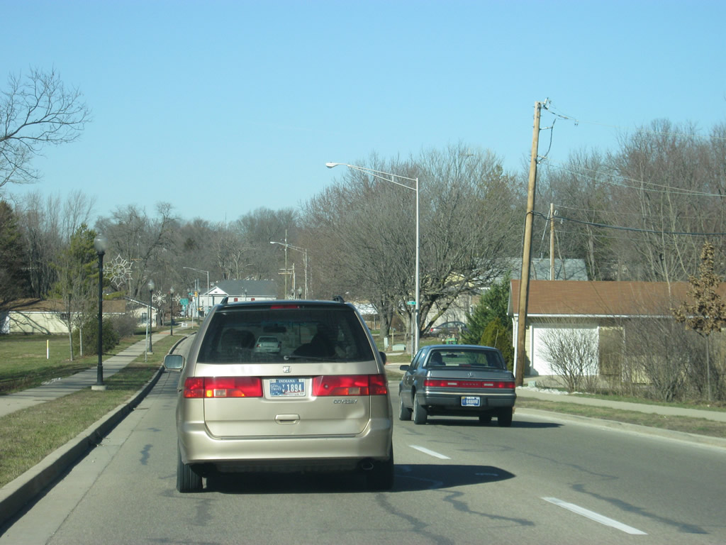
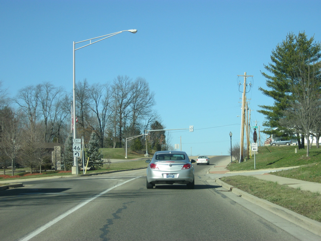
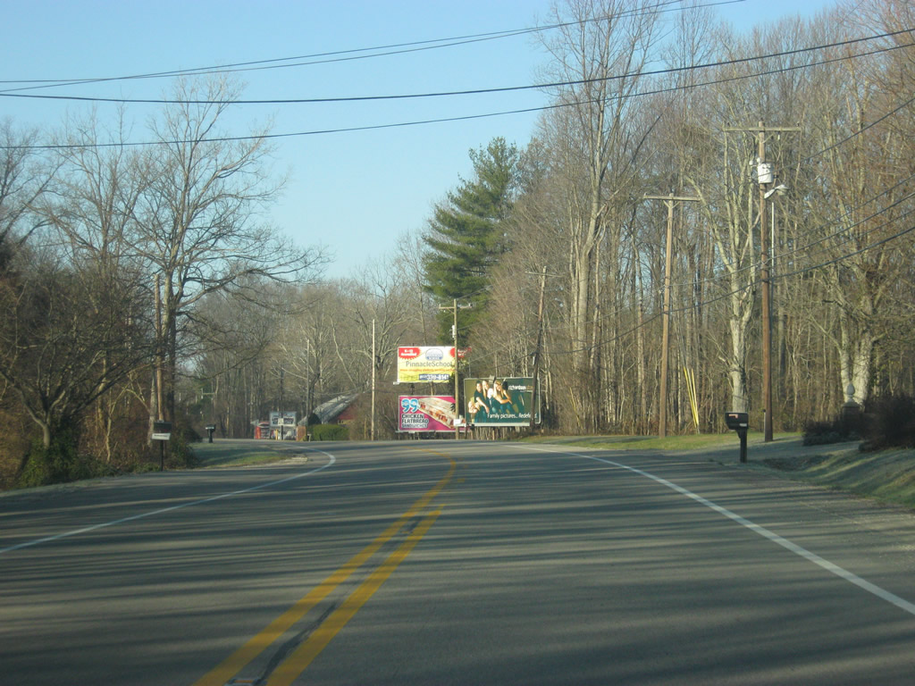
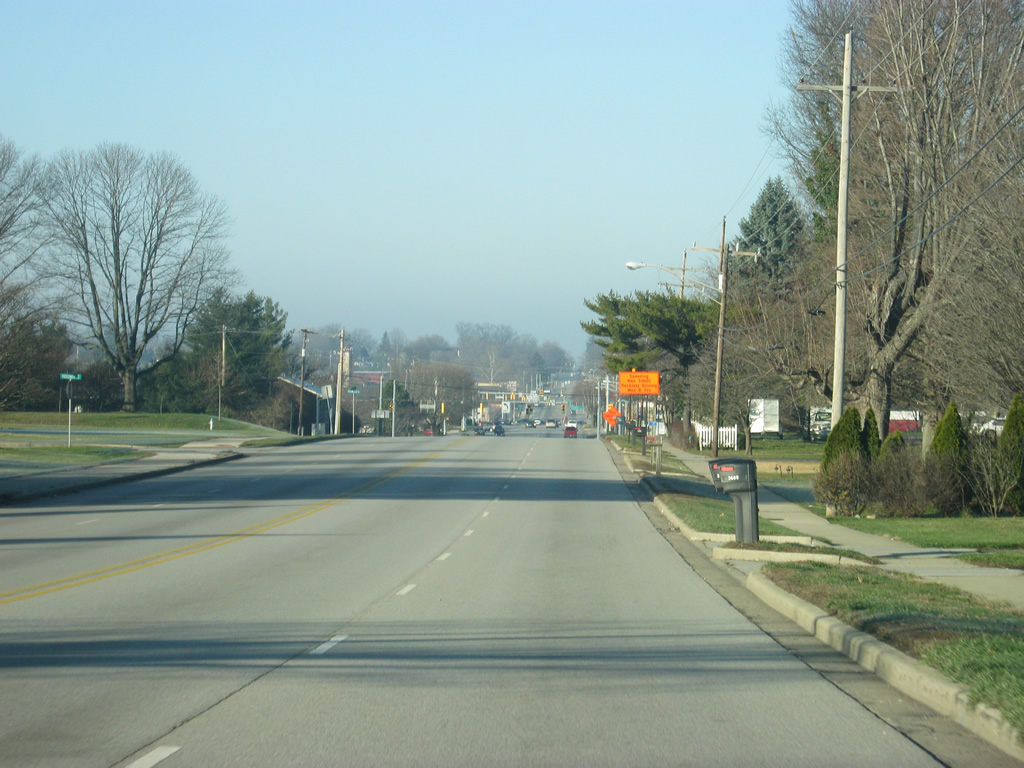
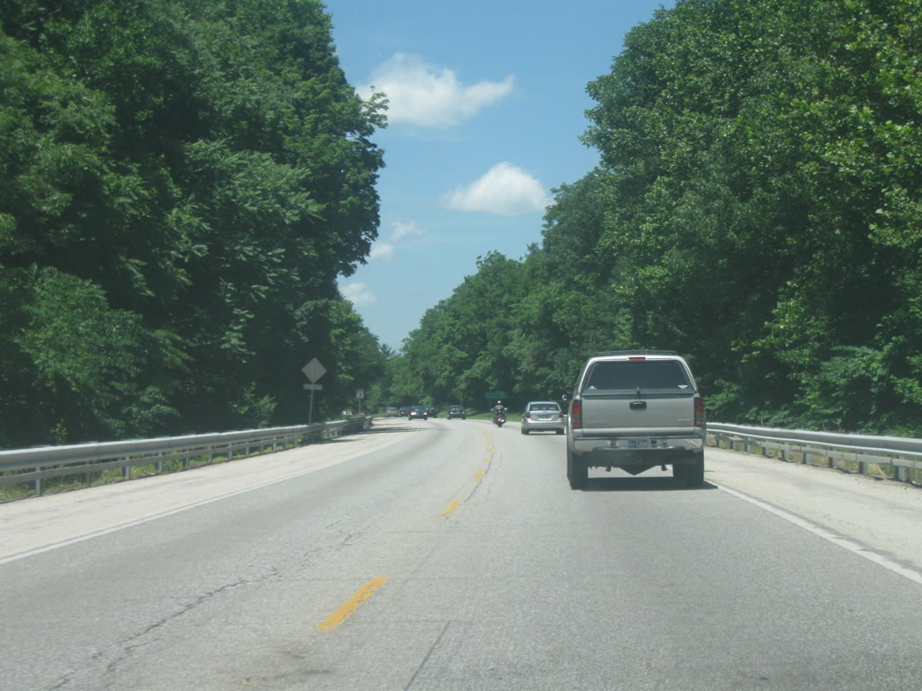
West from Bender Ridge, SR 46 progresses into a more suburban environment with several businesses and homes located on the side of the road.
12/17/11
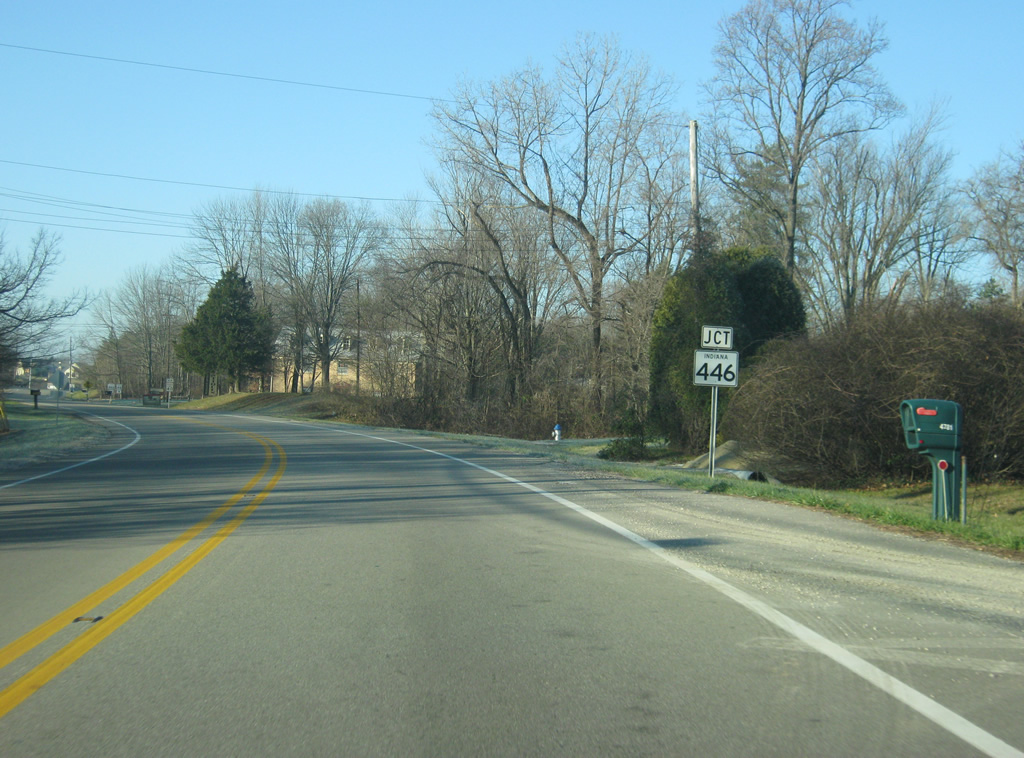
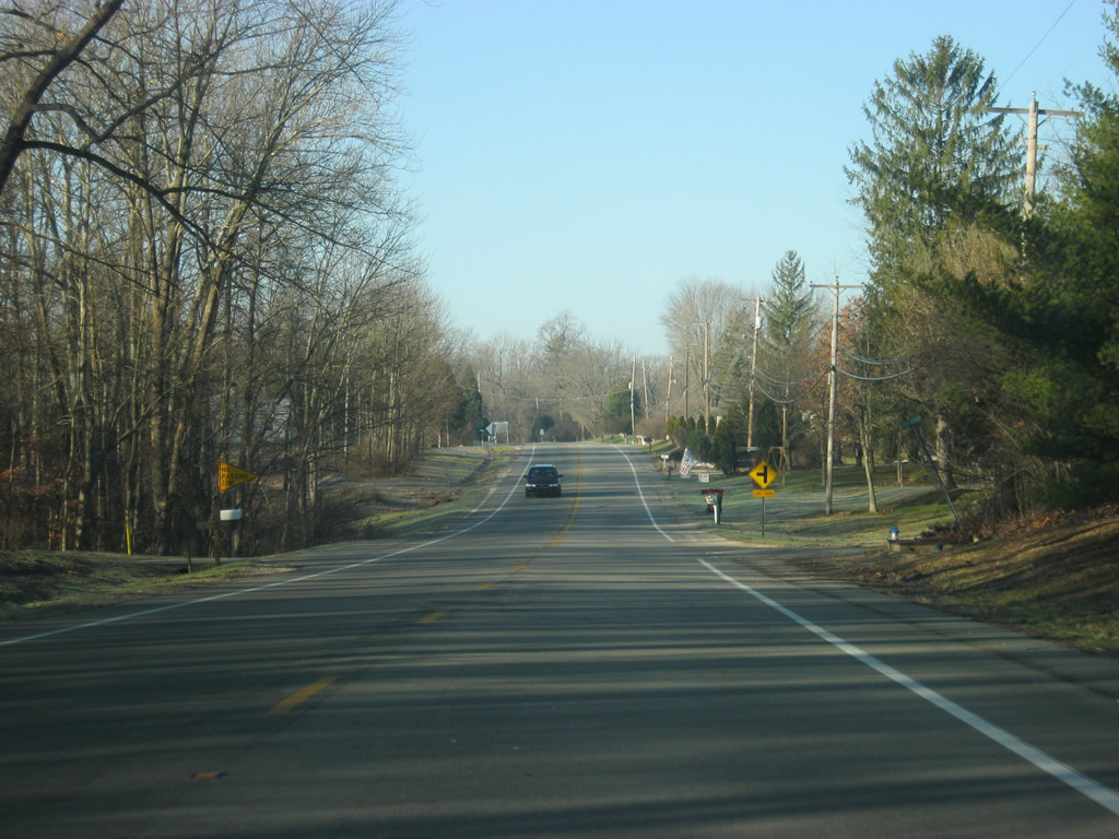
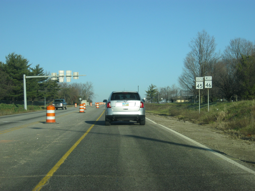
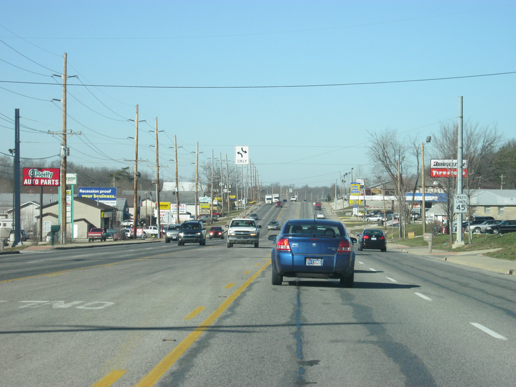
SR 46 begins its entrance into the Bloomington area. Up first is the signalized intersection with SR 446. Despite being called an east-west highway, SR 446 goes from north to south for 23.5 miles across southeastern Monroe County and into Lawrence County before ending at U.S. 50 east of Bedford.
12/17/11
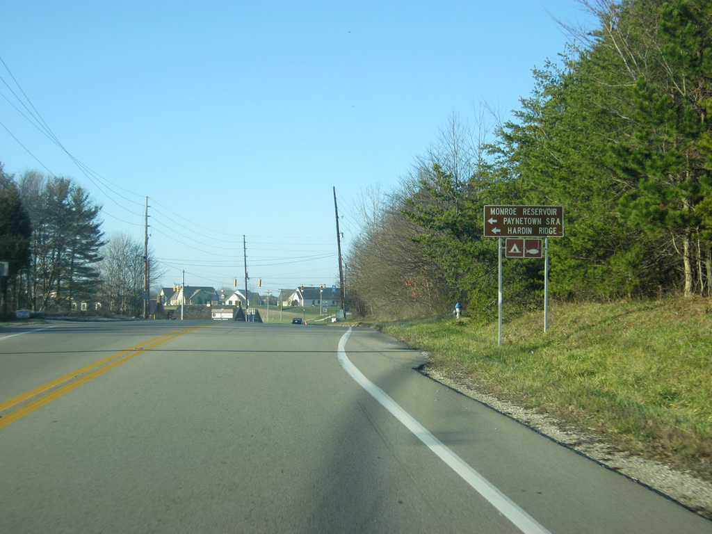
Monroe Reservoir, the largest lake in Indiana, can be reached via SR 446 to the south. Paynetown State Recreational Area can be accessed from SR 446 about ten miles to the south. SR 446 also provides a link into the Hoosier National Forest and the Hardin Ridge Recreational Area, which is along the shores of Lake Monroe. The Charles C. Deam Wilderness Area, a part of the Hoosier National Forest, is also reached from SR 446.
12/17/11
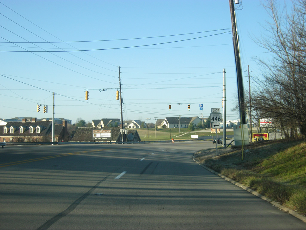
SR 46 at the intersection with SR 446 east. Here, SR 46 expands to four lanes as it heads west into the urbanized part of Bloomington as 3rd Street. Bloomington (population 80,405) is famous for the location of Indiana University and the athletic teams associated with them, the IU Hoosiers. The town is also best known for its appearance in the movie Breaking Away which features the Little 500 Bicycle Race. This bicycle culture is well known in the Bloomington area and the city itself is an oddball compared to most Hoosier cities. The politics of Bloomington are decidedly Democratic and progressive, which has helped to create an atmosphere that is hostile to the future Interstate 69.
12/17/11
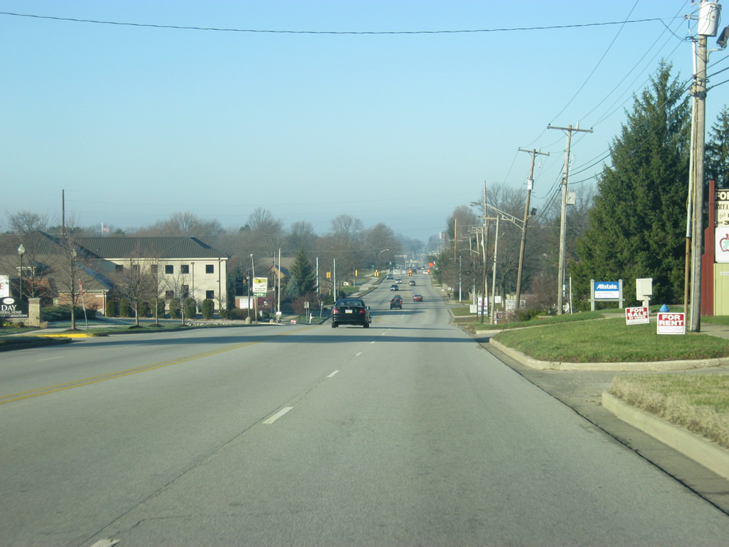
West of the SR 446 intersection, SR 46 (3rd Street) enters the east side of Bloomington via a four lane arterial that passes by mostly residential areas for the first mile into the city.
12/17/11
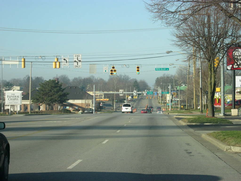
Now at the intersection with SR 46 (3rd Street) and Pete Ellis Drive. SR 46 (3rd Street) goes through a couple of stoplights ahead as it passes by several shopping centers, including College Mall, the retail hub of the region.
12/17/11

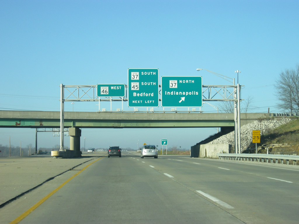
Now coming up to the intersection with College Mall Road to the south and 3rd Street to the west. SR 46 is directed to turn right to follow the SR 46 Bypass to the northwest around the Indiana University campus. Traffic bound for IU's Memorial Union and for Downtown Bloomington are advised to continue straight on 3rd Street while traffic bound for IU's sports facilities (Assembly Hall and Memorial Stadium) should use the bypass.
12/17/11
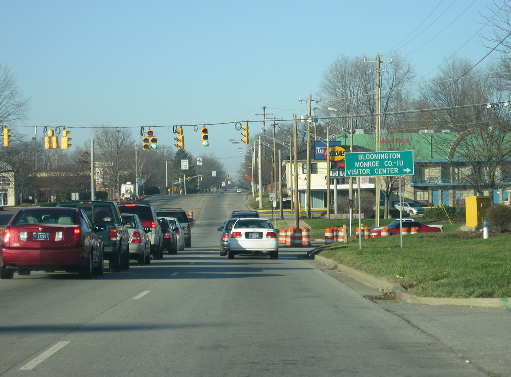
Now up at the intersection with College Mall Road south and 3rd Street west. College Mall Road is a four lane boulevard that passes by more shopping centers on the western edge of College Mall. South of Moores Pike it becomes Sare Road which becomes somewhat of a southeastern bypass as the road winds southwestward toward Rhorer Road. The Bloomington-IU Visitor's Center can be reached by continuing on the SR 46 Bypass to the northwest to Walnut Street (Old SR 37).
12/17/11
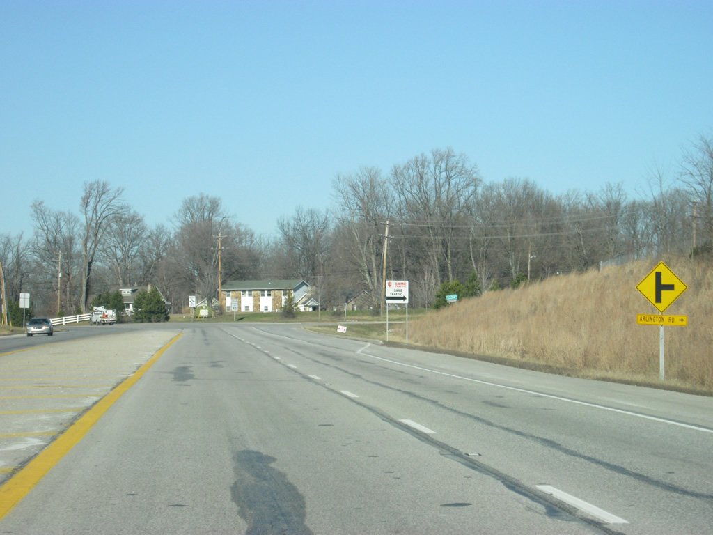
SR 46 heads in a northwesterly direction from the intersection with 3rd Street and College Mall Road. The bypass was first built in the 1970s to reroute SR 46 outside of the heart of Bloomington. Originally, the highway followed 3rd Street into Downtown and then followed Walnut Street (then SR 37) north to 17th Street. From there, it followed 17th Street to the west where it became Arlington Road, which headed to the northwest out of Bloomington.
Construction turned the formerly two lane bypass into a four lane boulevard-style highway in 2012. The first picture shows the original view of the highway.
04/14/13
12/17/11
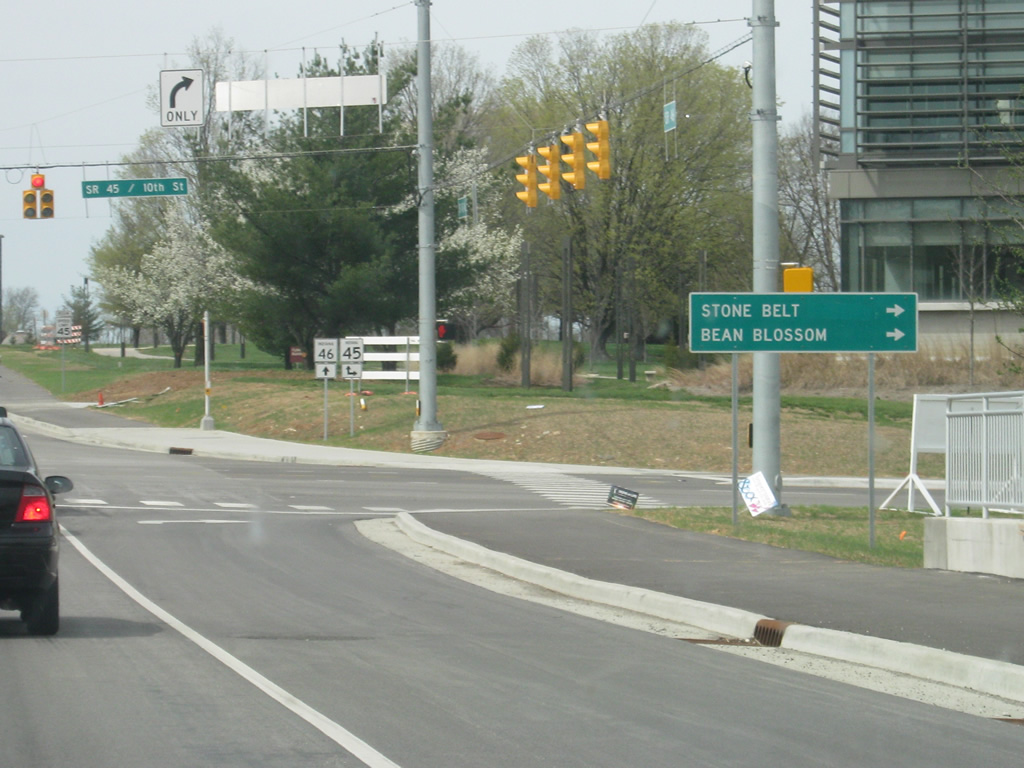
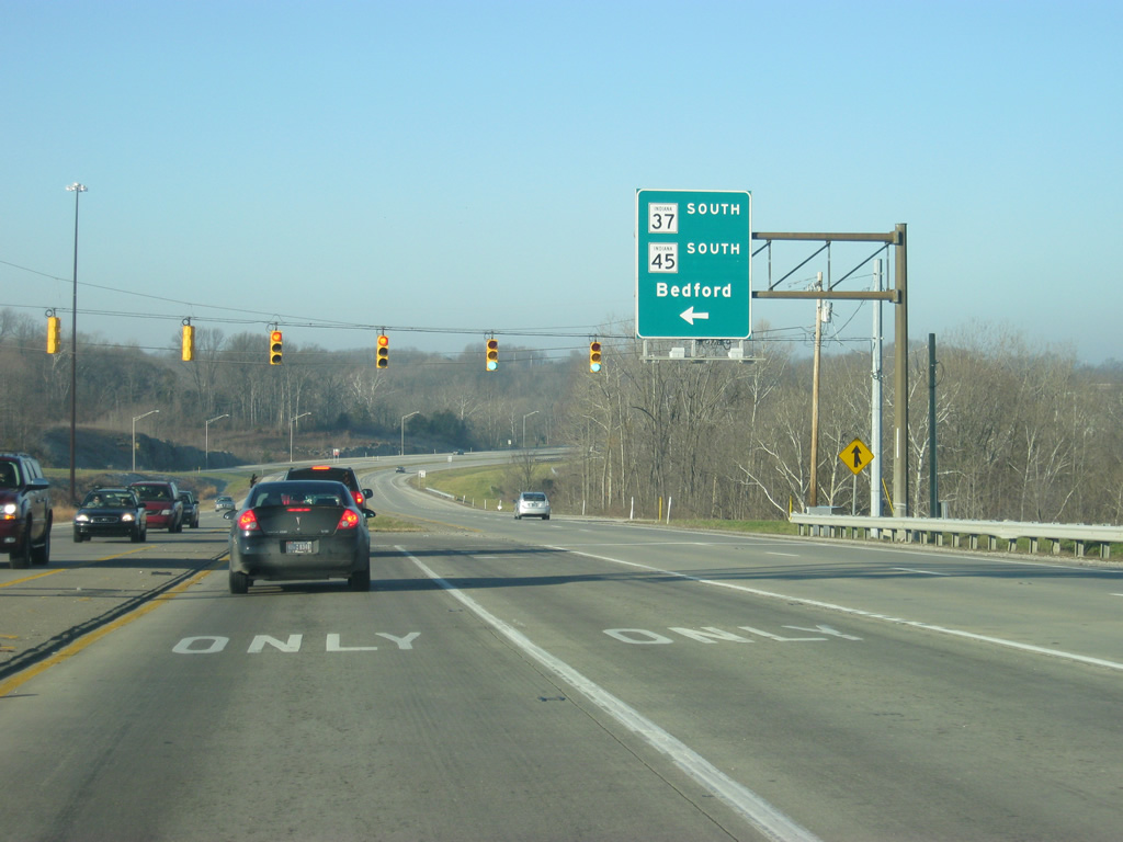
Passing a newly-built side street as SR 46 approaches the Indiana Railroad crossing and the SR 45 east (10th Street) intersection. The second picture shows roughly the same view as it appeared on the former bypass in 2009. In town, this highway is usually referred to as either the 45/46 Bypass or simply the Bypass.
04/14/13
06/20/09
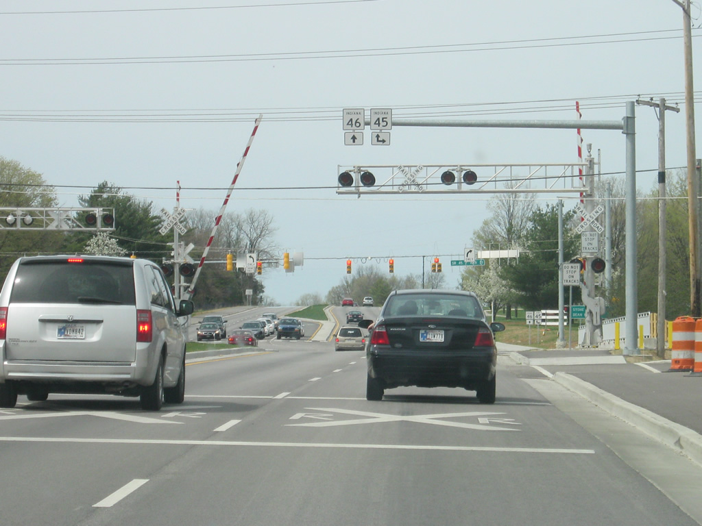
SR 46 crosses the Indiana Railroad as it comes up to the junction with SR 45 east (10th Street). SR 45 travels for 55.6 miles from U.S. 231/SR 58 near Crane to the northeast toward Bloomington and up to Beanblossom at SR 135. The second picture shows this intersection as it appeared in 2009 with thru traffic being forced onto the right lane through the intersection.
04/14/13
06/20/09
Now at the intersection with 10th Street, where SR 45 joins SR 46 for the bypass around Bloomington. To the right, the highway takes a northeasterly track toward Beanblossom and SR 135, via a 19 mile journey along a curvy two lane highway through eastern Monroe County and western Brown County. 10th Street runs west across the heart of the Indiana University campus toward the central part of Bloomington.
04/14/13
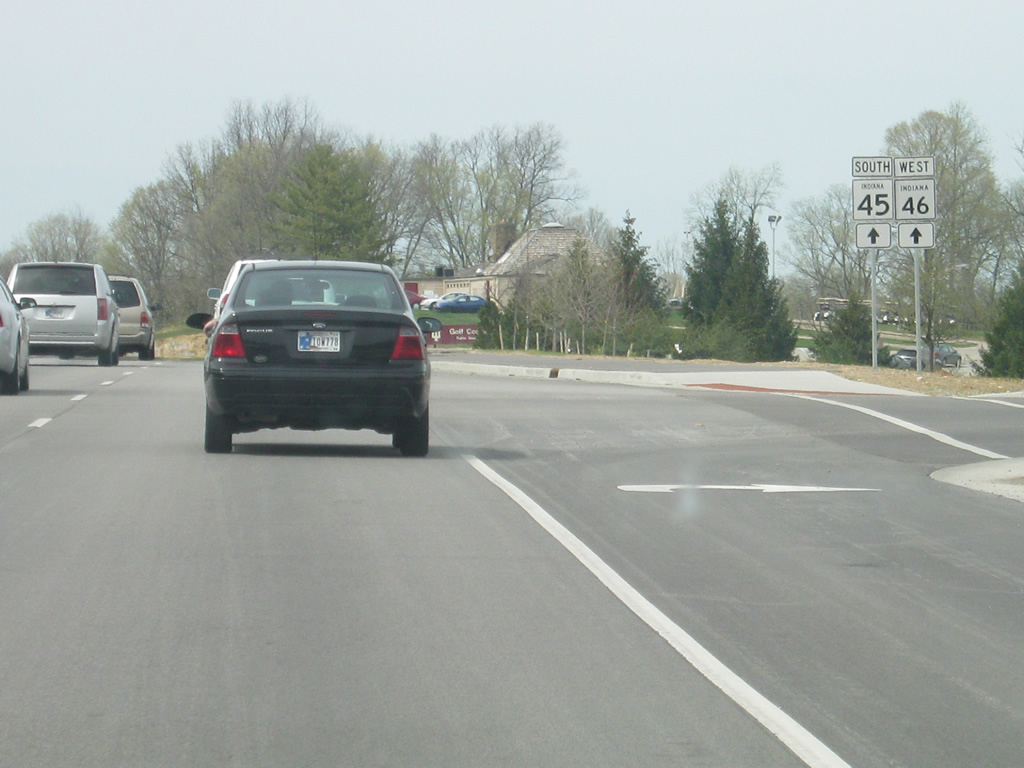
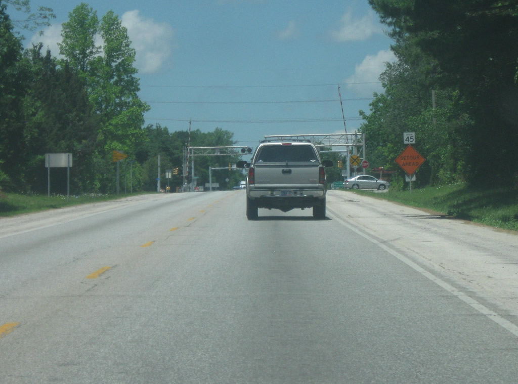
SR 45 is now multiplexed with SR 46 for the remainder of the bypass to the interchange with SR 37 (future Interstate 69). SR 45 will follow SR 37 (future Interstate 69) to the south to the southwest side of town where it resumes its trip toward Crane and Interstate 69. The second picture shows the highway prior to the bypass widening in 2012.
04/14/13
12/17/11
The expanded bypass project included this new stoplight intersection with 17th Street, which runs to the west across the northern part of the Indiana University campus.
04/14/13
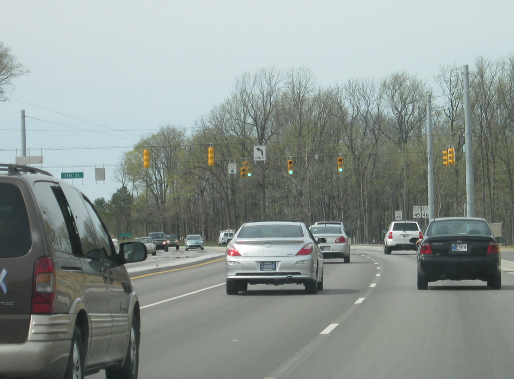
Heading north from the 17th Street intersection, SR 45 & 46 follows a four lane boulevard bypass around the Indiana University campus, with its final stage opening in late 2012. The expanded bypass replaced a two lane highway that was often congested with university traffic at peak times. The second picture shows the former bypass in roughly the same location as it was in 2009.
04/14/13
06/20/09
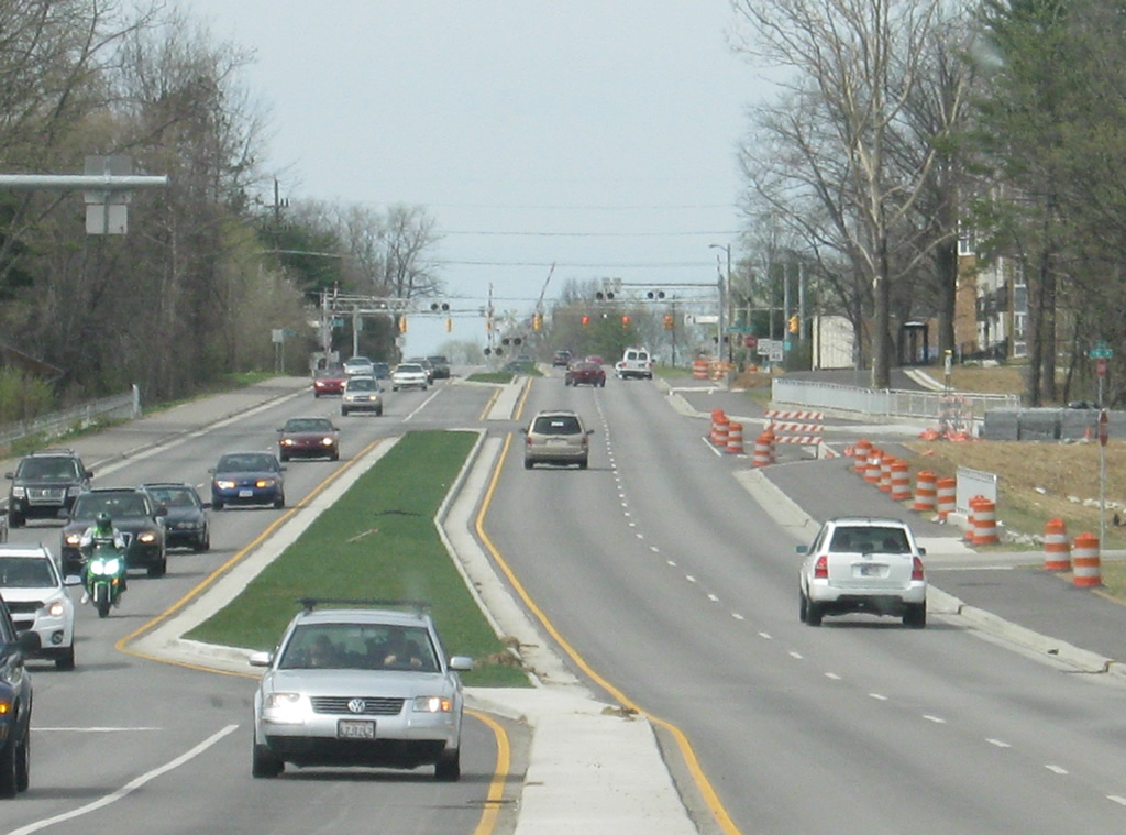
SR 45 & 46 passes by the Indiana University Golf Course along the expanded bypass. Pedestrian/bicycle trails were added on both sides of the highway to accommodate Bloomington's considerable pedestrian/bicyclist community.
04/14/13
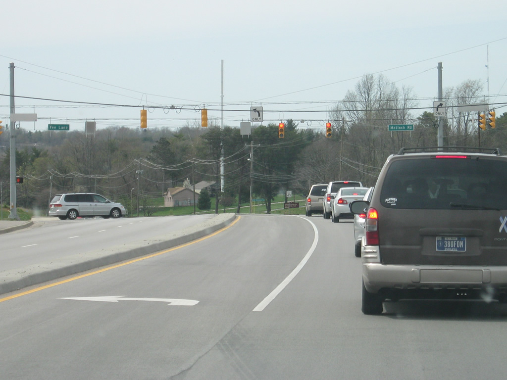
The next stoplight along SR 45 & 46 is with Fee Lane and Matlock Road. The former runs south to 10th Street and serves mostly residential neighborhoods near Indiana University. Matlock Road runs east toward the Griffy Lake area.
04/14/13
A view of new reassurance shields for both SR 45 and SR 46 to the west of the Fee Lane intersection along the Bypass. Forthcoming Dunn Street serves interests to both Memorial Stadium (home to IU Football) and Assembly Hall (home to IU Basketball).
12/17/11
SR 45 & 46 passes to the north of Indiana University's Memorial Stadium and Assembly Hall as the bypass enters the Griffy Creek valley. The interchange with SR 37 (future Interstate 69) can be viewed in the far distance along the expanded bypass as it now heads west across the north side of Bloomington. The second picture shows roughly the same view with the former two lane bypass as it appeared in 2009.
04/14/13
Now coming up to the intersection between the SR 45 & 46 Bypass and Walnut Street (old SR 37). To the south, Walnut Street breaks into the one way couplet of College Avenue for southbound traffic into Downtown Bloomington and Walnut Street for northbound traffic back toward the north. North of the bypass, the road is simply Walnut Street, though some maps will give it the name of Business SR 37. The intersection was rebuilt with two left turn lanes in each direction.
12/17/11
Moving past the Kinser Pike intersection (the next one west of Walnut Street), the SR 45 & 46 Bypass approaches the interchange with the SR 37 expressway. This is also the point where SR 45 will turn to the south to follow SR 37 around the west side of Bloomington. The stretch of highway from SR 37 east to Walnut Street had been four lanes for a lot longer than the newly-widened stretches and received only a repaving job in 2011.
12/17/11
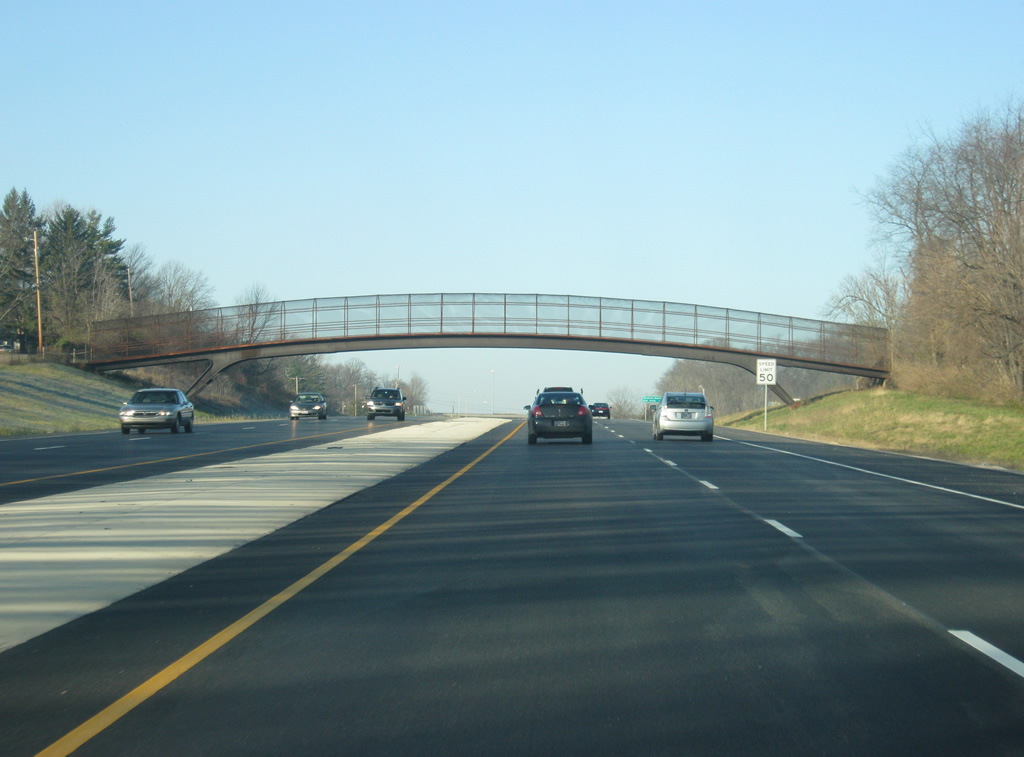
A pedestrian bridge spans the SR 45 & 46 Bypass to connect north side neighborhoods with Arlington Heights Elementary School.
12/17/11
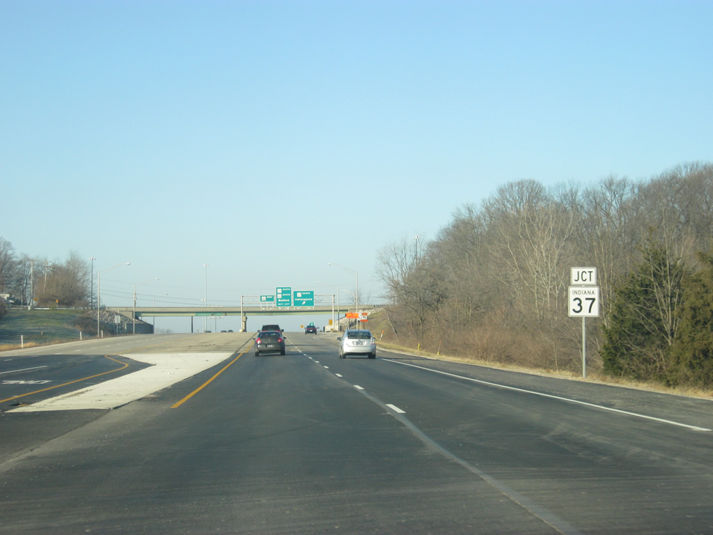
SR 37 (future Interstate 69) goes for 236 miles in two segments; the first is a small segment northeast of Fort Wayne. The second goes for 216 miles from Marion to the southwest past Noblesville, Indianapolis, Martinsville, Bloomington, Bedford, Paoli, English and Tell City.
12/17/11
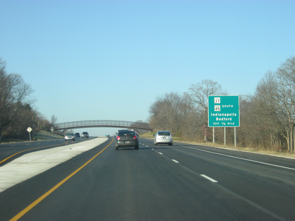
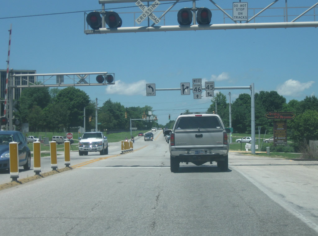
A guide sign directs traffic heading north toward Martinsville and Indianapolis. The stretch of SR 37 between Bloomington and Indianapolis is a heavily traveled highway and in the future is slated to become part of the new Interstate 69. Interstate 69 is currently a freeway from Evansville to Crane with an extension to Bloomington under construction. From Bloomington, the new intestate will follow SR 37's route to Martinsville and Indianapolis. Traffic bound for SR 37 to the south and SR 45 to the west are advised to take the next left up ahead.
12/17/11
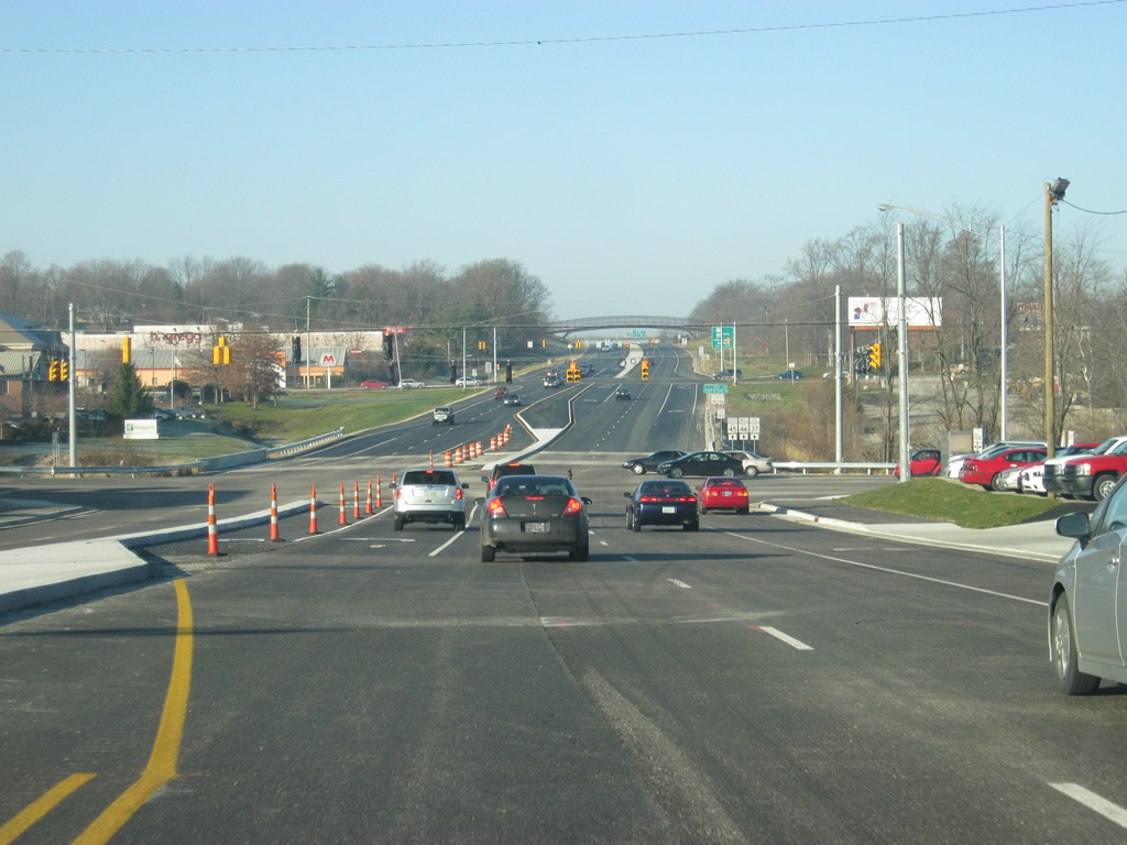
Having crossed the SR 37 expressway, two left turn lanes take traffic onto the four lane highway. SR 45 traffic exits here to join SR 37 (future Interstate 69) around the west side of Bloomington before it turns off toward the southwest en route to Crane.
12/17/11
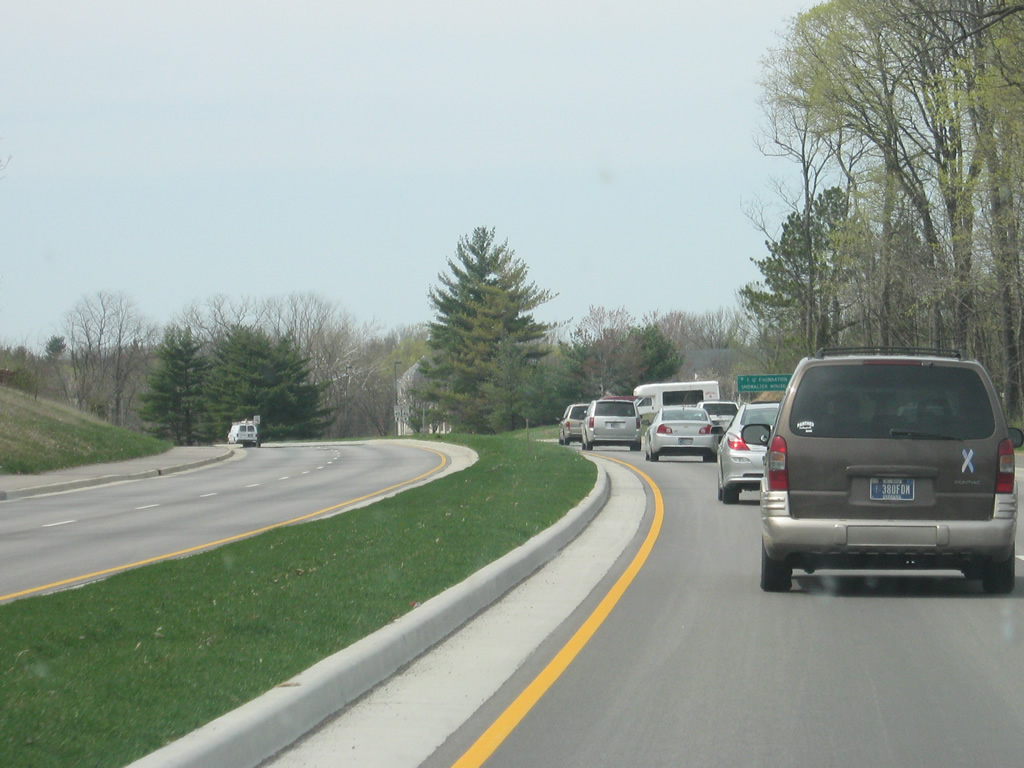
West of the interchange with SR 37 and 45 west, SR 46 is all by itself once again.
12/29/11
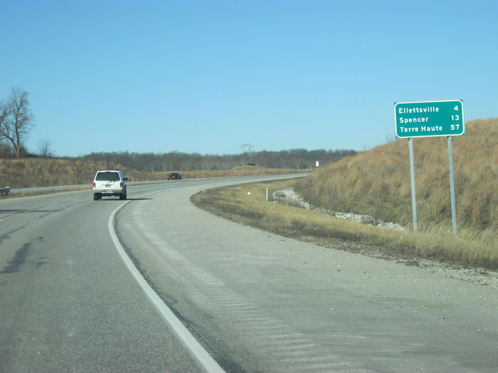
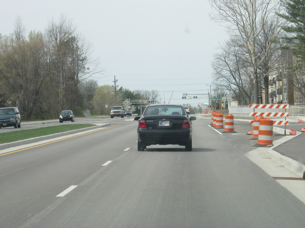
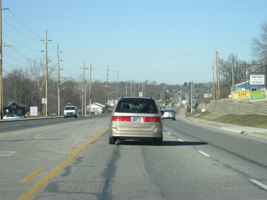
Leaving Bloomington now, Ellettsville is four miles away, while Spencer, the county seat of Owen County is 13 miles away. Terre Haute, the ultimate control city and western terminus for SR 46 is 57 miles down the road.
12/29/11
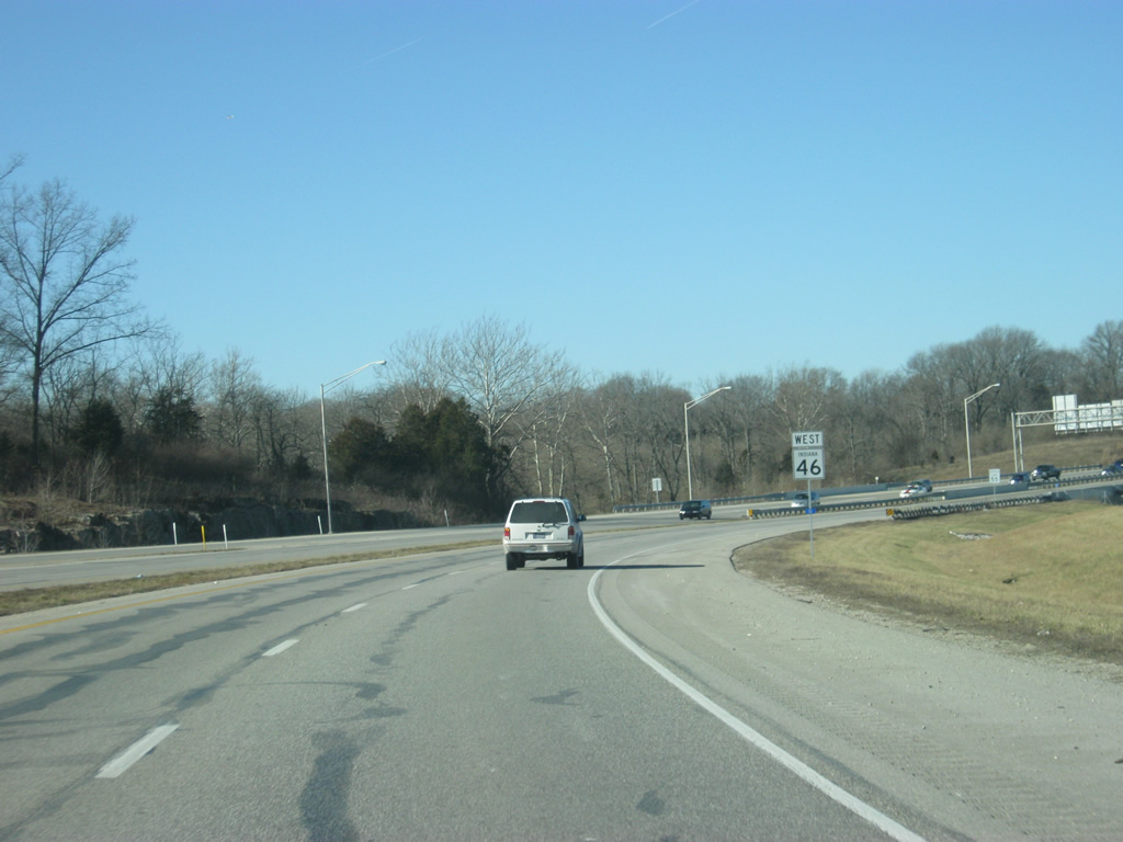
Heading northwest of the SR 37 interchange, SR 46 is a four lane expressway. Originally, the state highway was routed along Arlington Road, to the east of the new expressway. Arlington Road continued into Bloomington whereas SR 46 was directed onto a slip ramp onto SR 37. SR 46 westbound traffic had to turn right onto SR 37 north at a stoplight and head north for a short distance to the slip ramp back onto Arlington Road (former SR 46). Today, all movements between SR 46 and SR 37 have been directed to the new parclo interchange, completed in 2002. Up ahead is the intersection with Curry Pike.
12/29/11
A view of the SR 46 expressway to the northwest of the Curry Pike intersection. SR 46 was rebuilt from the SR 37 interchange north through the city of Ellettsville as part of the same project that rebuilt the interchange with SR 37.
12/29/11
Now at the Arlington Road intersection, marking where the old SR 46 meets up with the current alignment. From here, SR 46 follows its original path to Ellettsville, albeit as a four lane highway.
12/29/11
West of the Arlington Road intersection. SR 46 enters the town of Ellettsville (population 5,078). In town, the highway carries the name of Temperance Street, with one exception up ahead. For the next couple of miles, SR 46 (Temperance Street) forms the main commercial corridor for the community of Ellettsville, which has become the primary suburb for Bloomington and as a result the town has grown to the southeast toward Bloomington along SR 46 (Temperance Street).
12/29/11
Within the heart of Ellettsville, SR 46 is split into a couplet of one way streets. Originally, SR 46 was routed along Temperance Street through the heart of Ellettsville. When SR 46 was widened to four lanes from Ellettsville to Bloomington, the eastbound lanes were directed to Temperance Street while the westbound lanes followed a new alignment along Main Street to the north. Here, SR 46 westbound traffic is routed onto that new alignment.
12/29/11
Now following SR 46 (Main Street) along a new alignment that bypasses the heart of the community along Temperance Street. While Main Street had existed before the rerouting of SR 46 through the town, there was originally no connection between SR 46 to the southeast and Main Street. When the highway was redesigned, that connection was made and Main Street was turned into a one way street northbound.
12/29/11
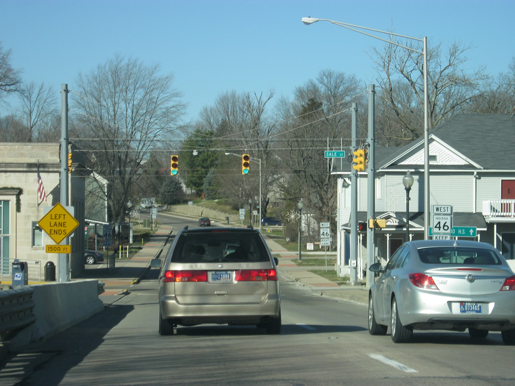
Now coming up to the intersection with SR 46 west (Main Street) and Sale Street. Sale Street leads into the small downtown of Ellettsville, situated at its intersection with SR 46 east (Temperance Street).
12/29/11
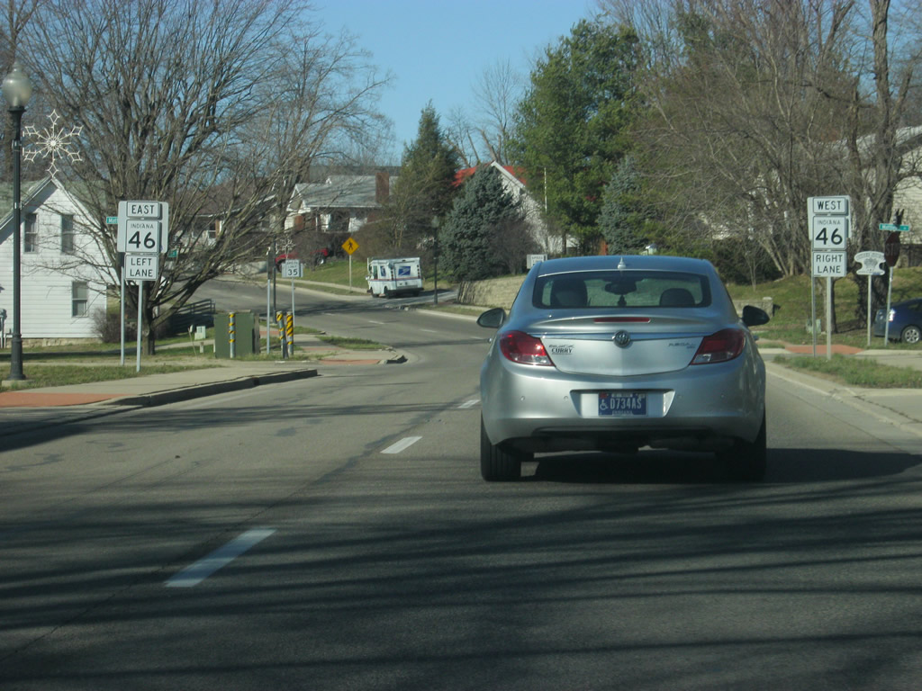
West of the Sale Street intersection, SR 46 west (Main Street) approaches the western end of the one way couplet with Temperance Street. Traffic wanting to continue west along SR 46 must use the right lane while traffic wanting to loop back around to follow Temperance Street to the east must use the left lane.
12/29/11
Now at the point where the one way couplet with Main and Temperance Streets ends. SR 46 flows back into its original routing as the left lane loops back to follow SR 46 east (Temperance Street).
12/29/11
Now to the west of the heart of Ellettsville, SR 46 transitions from a town environment to a rural environment as it heads toward the far northwestern stretches of Monroe County.
12/29/11
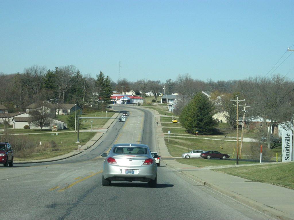
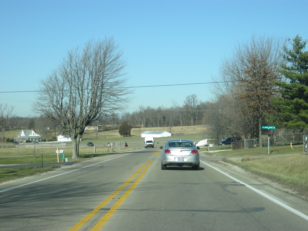
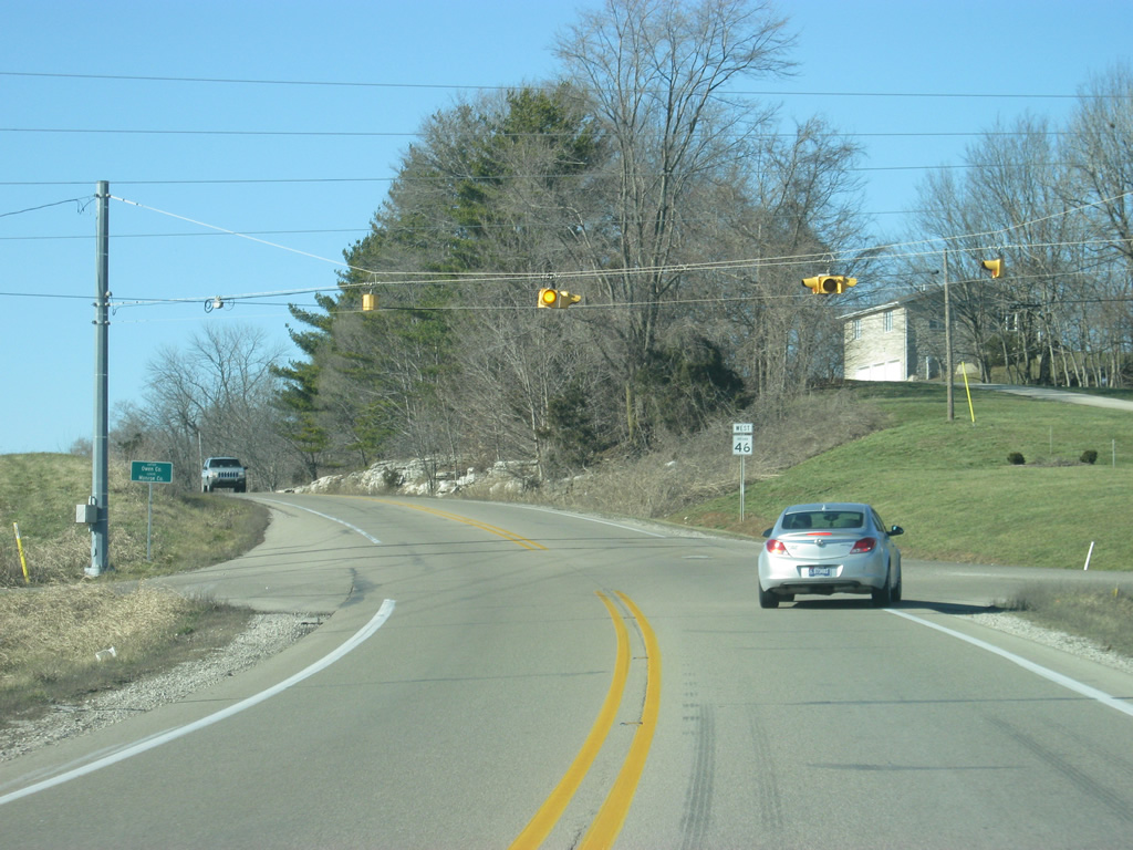
Views of SR 46 to the outside of Ellettsville as it heads for the boundary with Owen County. The highway remains relatively busy as it serves as the primary corridor between the Owen County seat of Spencer and Bloomington.
12/29/11
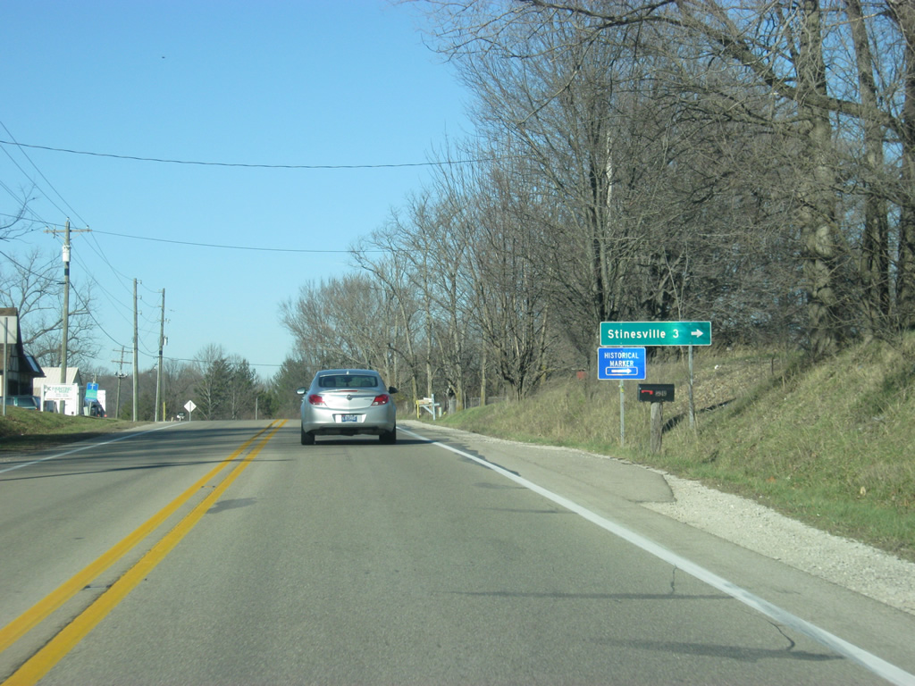
Coming up to the intersection with Stinesville Road and SR 46. As the name suggests, Stinesville Road leads to the community of Stinesville three miles to the north.
12/29/11
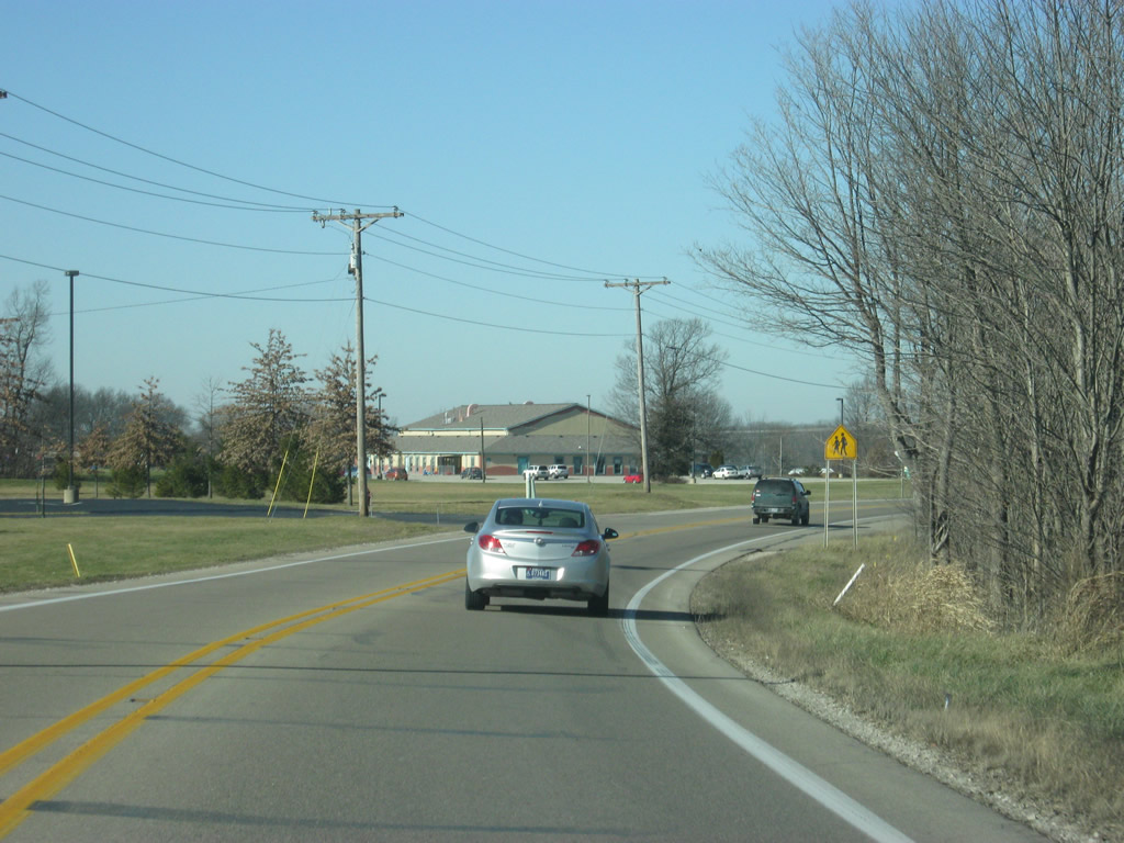
A view of SR 46 to the west of Stinesville Road.
12/29/11
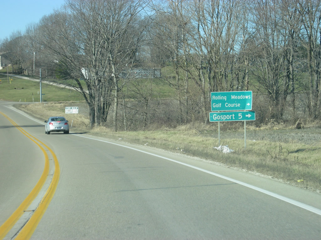
Now coming up to the intersection with County Line Road, which provides access the Rolling Meadows Golf Course and the town of Gosport in northeastern Owen County.
12/29/11
At the flashing light intersection with County Line Road, SR 46 enters Owen County (population 21,575).
12/29/11

Photo Credits:
- Thomas Decker: 06/20/09, 12/17/11, 12/29/11, 04/14/13
Connect with:
Page Updated Tuesday August 19, 2014.