
Highway 4

Kansas Highway 4 stretches 340.49 miles across the Sunflower State from U.S. 83, north of Scott City, to U.S. 59 outside Nortonville. K-4 runs between the parallel K-96 corridor and I-70/U.S. 40 east to the Rush County seat of La Crosse and K-14 north of Lyons. The eastern half of K-4 continues from an overlap with Interstate 135 at Lindsborg to Topeka, and from I-70 and U.S. 40 at the capital city northeast to Valley Falls.
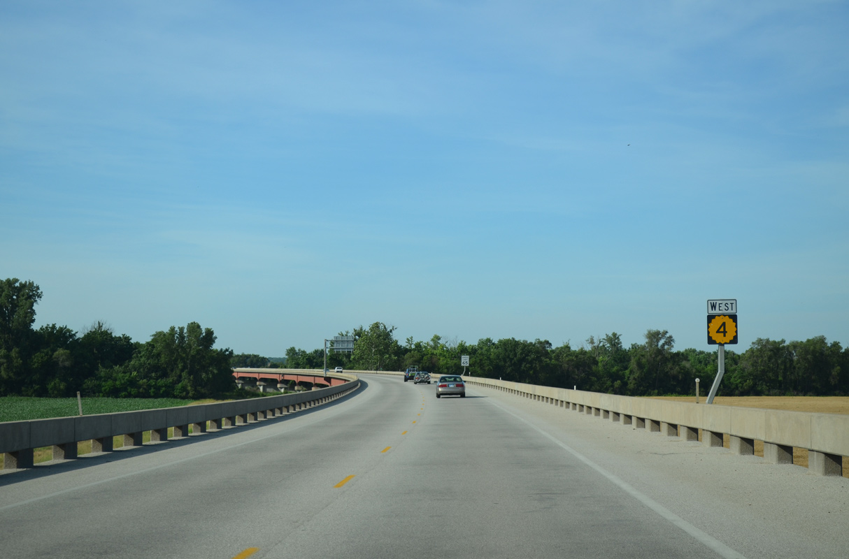
K-4 was realigned onto Interstate 70 from Auburn Road east here to the Westgate bridge (former U.S. 75 Bypass) by 1962.1
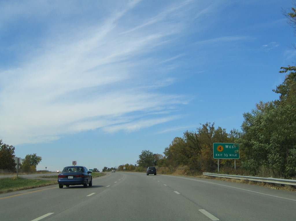
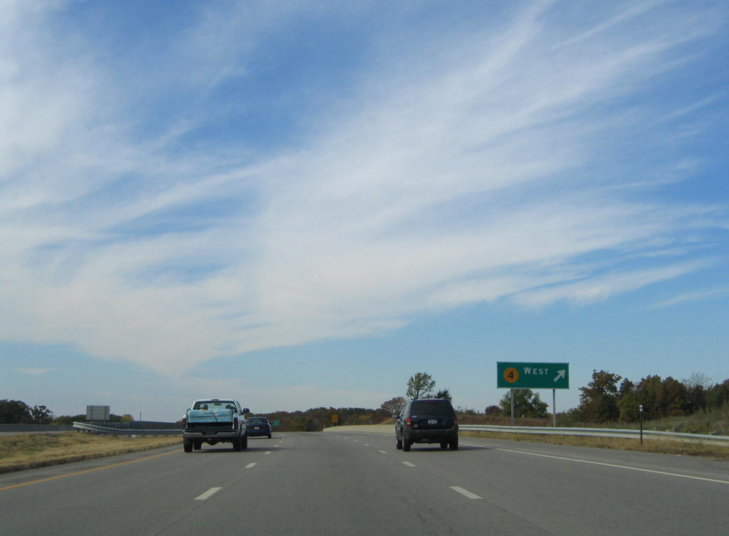
06/18/15
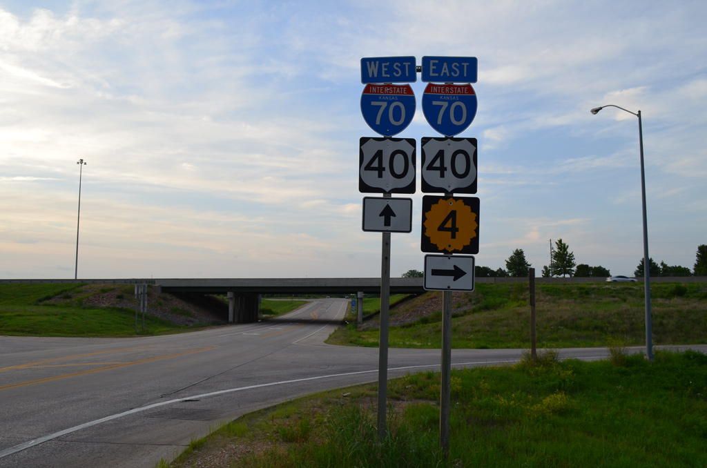
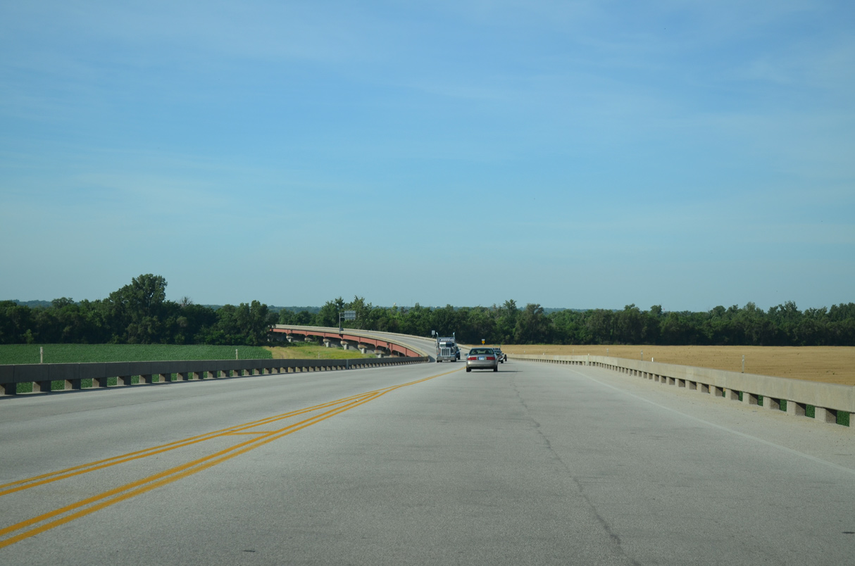
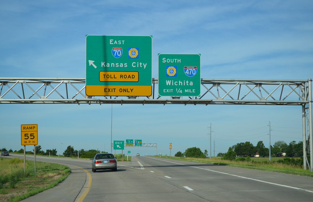
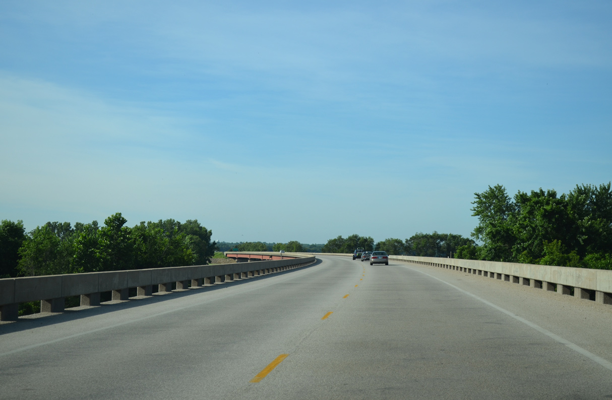
I-70/U.S. 40 overlap west from K-4 outside Topeka to Oakley in the High Plains.
10/17/04

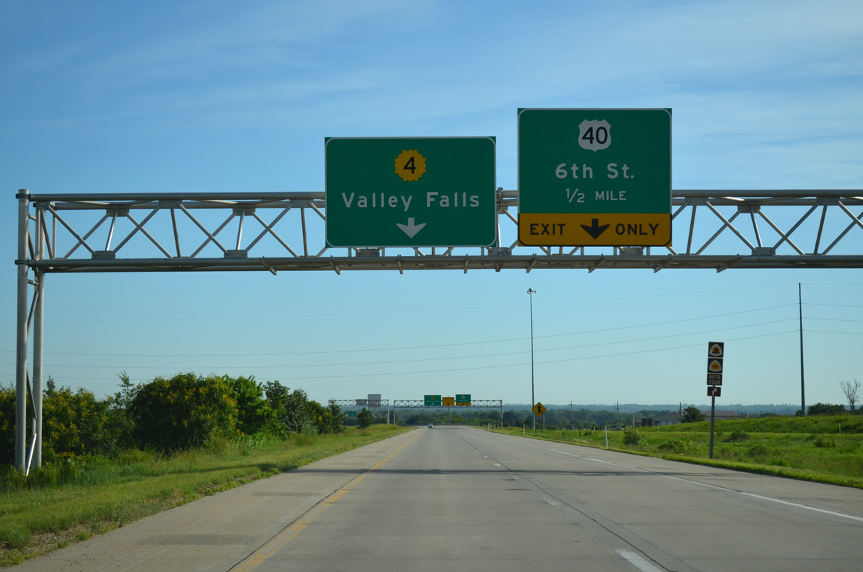
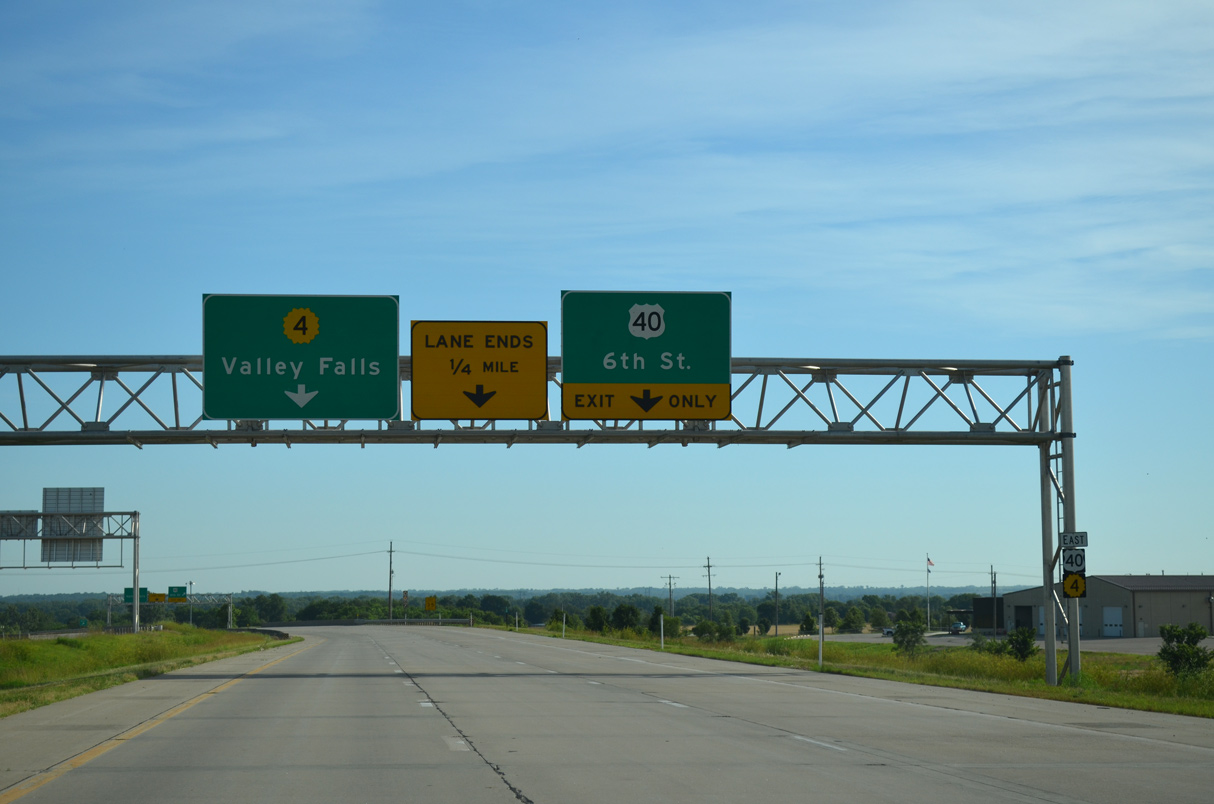
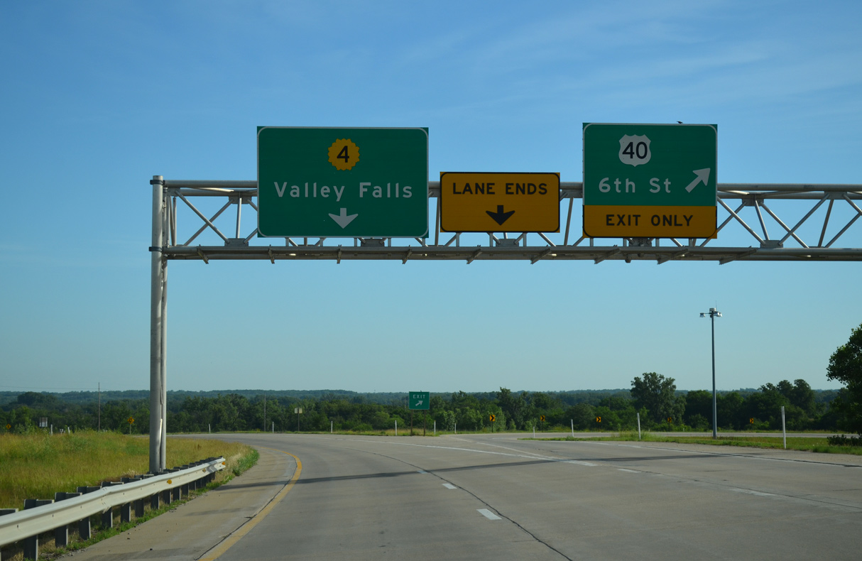
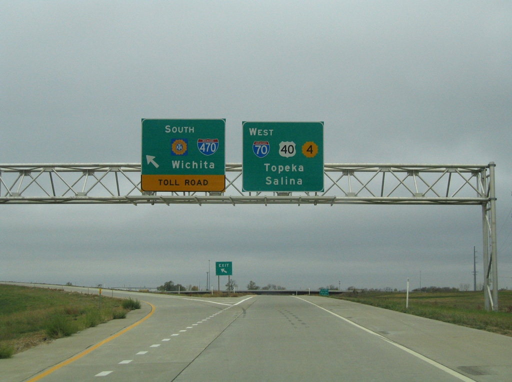
U.S. 40/K-4 shift north from I-70 onto the Oakland Expressway 0.69 miles to their separation at SE 6th Avenue.
06/19/15
U.S. 40 follows SE 6th Avenue east from the Oakland Expressway into the community of Tecumseh en route to Lawrence.
06/19/15
West from the folded diamond interchange with K-4, SE 6th Avenue to Deer Creek Trafficway was part of U.S. 40 until 2001.1
06/19/15
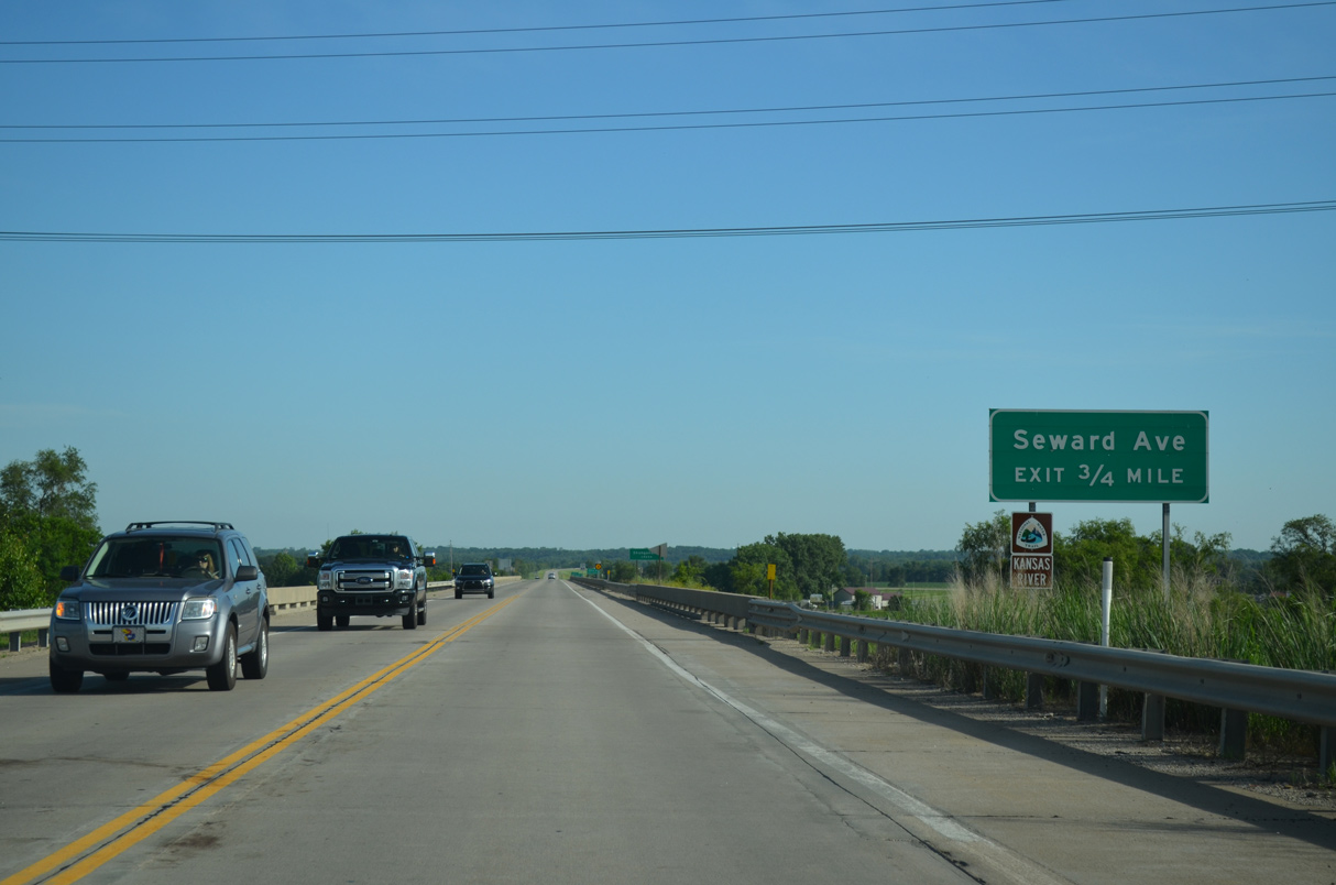
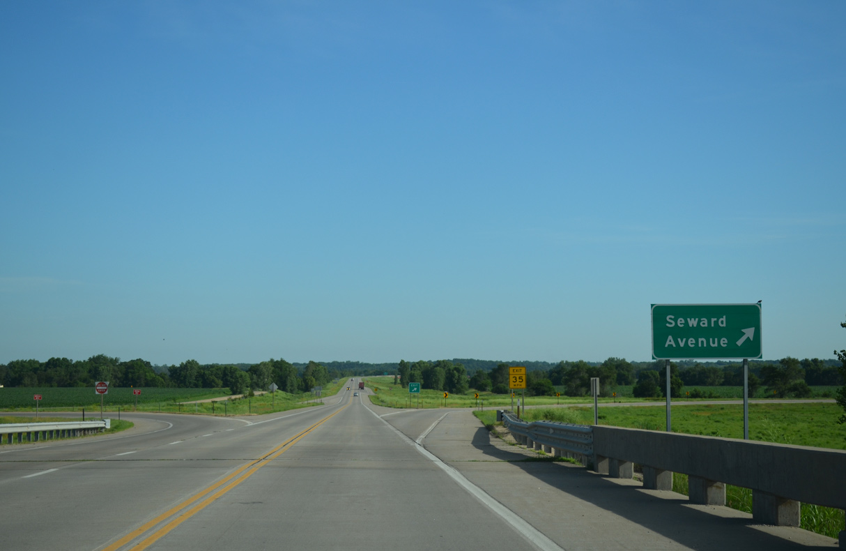
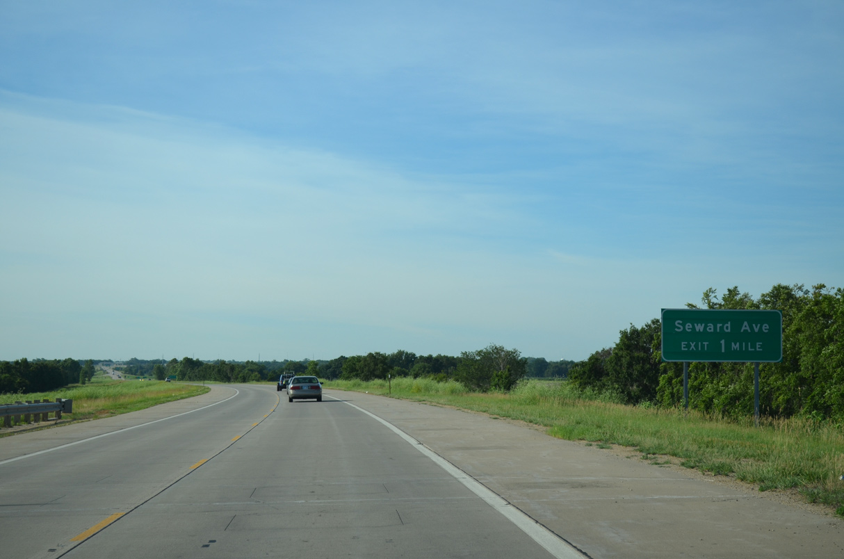
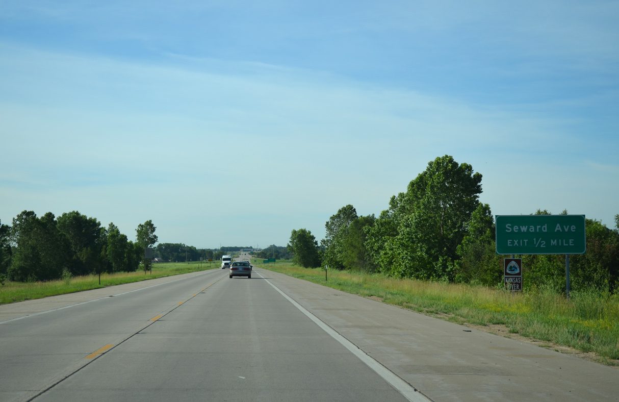
K-4 continues north along the Oakland Expressway to Seward Avenue near Philip Billard Airport (TOP).
06/19/15
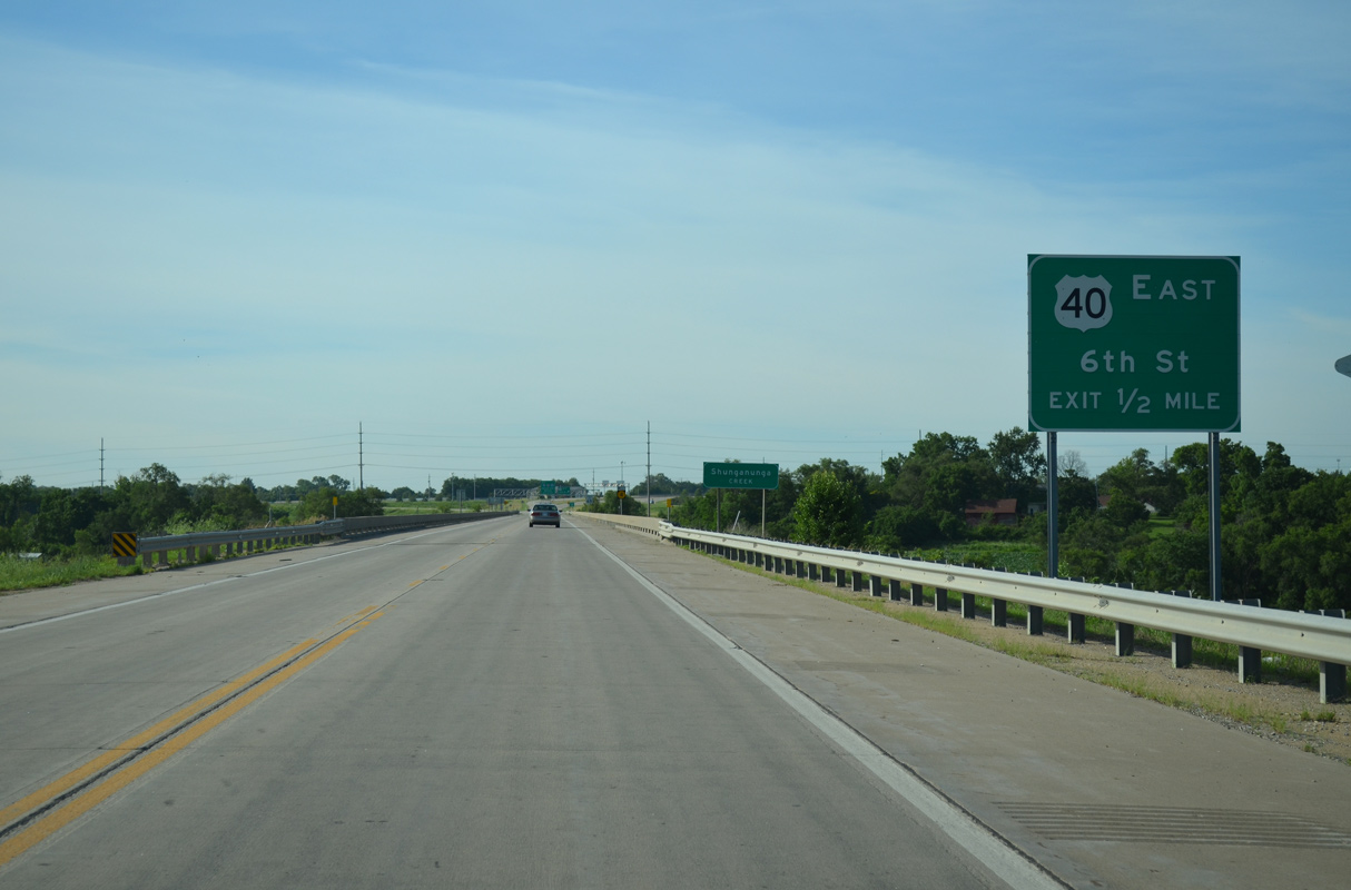
A 1,230.7 foot long bridge2 spans both Shunganunga Creek and a BNSF Railroad along K-4 eastbound ahead of mile marker 333.
06/19/15
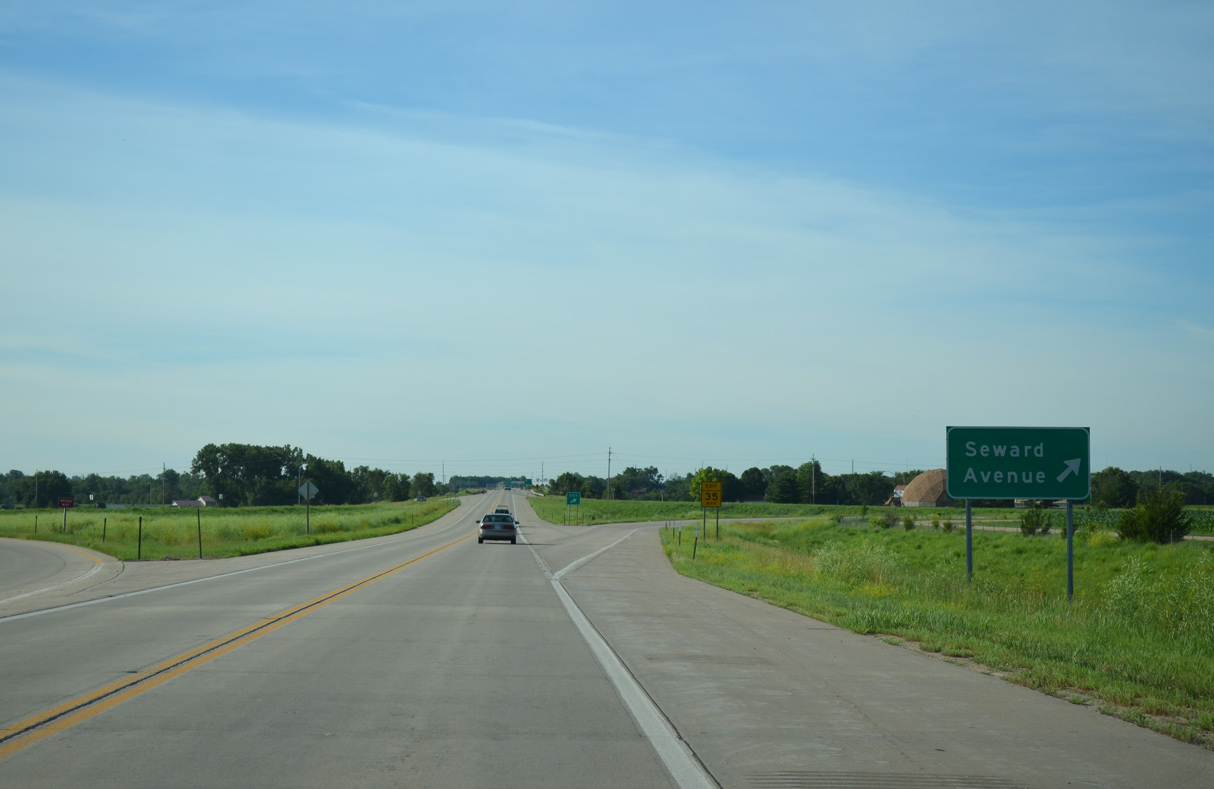
Seward Avenue leads west from the Oakland Expressway to the Eastend and Oakland neighborhoods in Topeka.
06/19/15
East from the folded diamond interchange with K-4, Seward Avenue leaves the Topeka city limits, becoming Goodell Road south toward Tecumseh.
06/19/15
Continuing north, K-4 crosses Old Channel east of Philip Billard Airport (TOP).
06/19/15
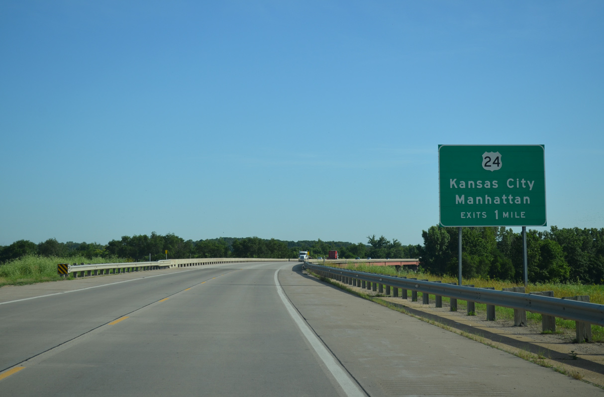
K-4 converges with the expressway along U.S. 24 in one mile.
06/19/15
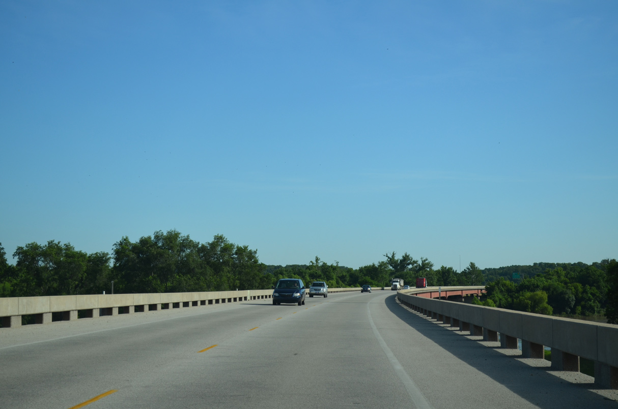
K-4 arcs northwards across the Kansas River over a 5,534.7 foot long bridge completed in 1998.3
06/19/15
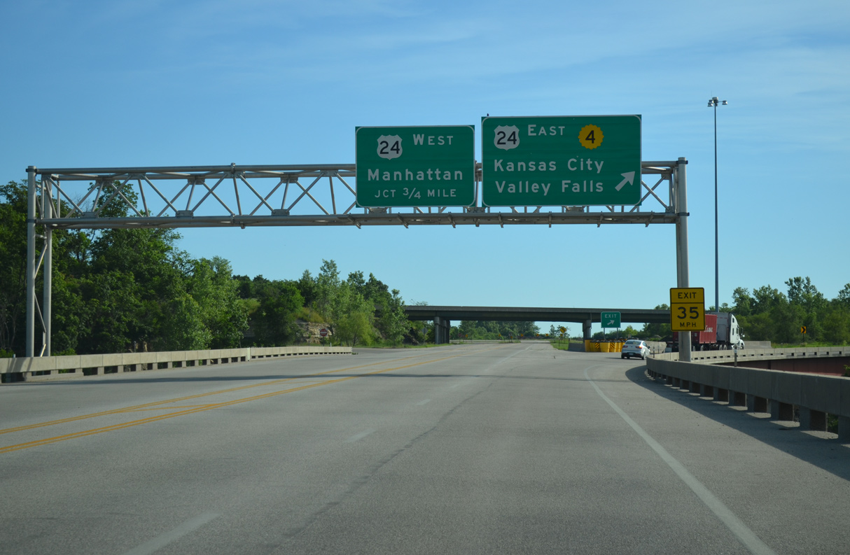
K-4 combines with U.S. 24 east for 0.65 miles. U.S. 24 west leads to North Topeka.
06/19/15
Grading remains at the trumpet interchange with U.S. 24 for an unbuilt extension of the Oakland Expressway north.
06/19/15
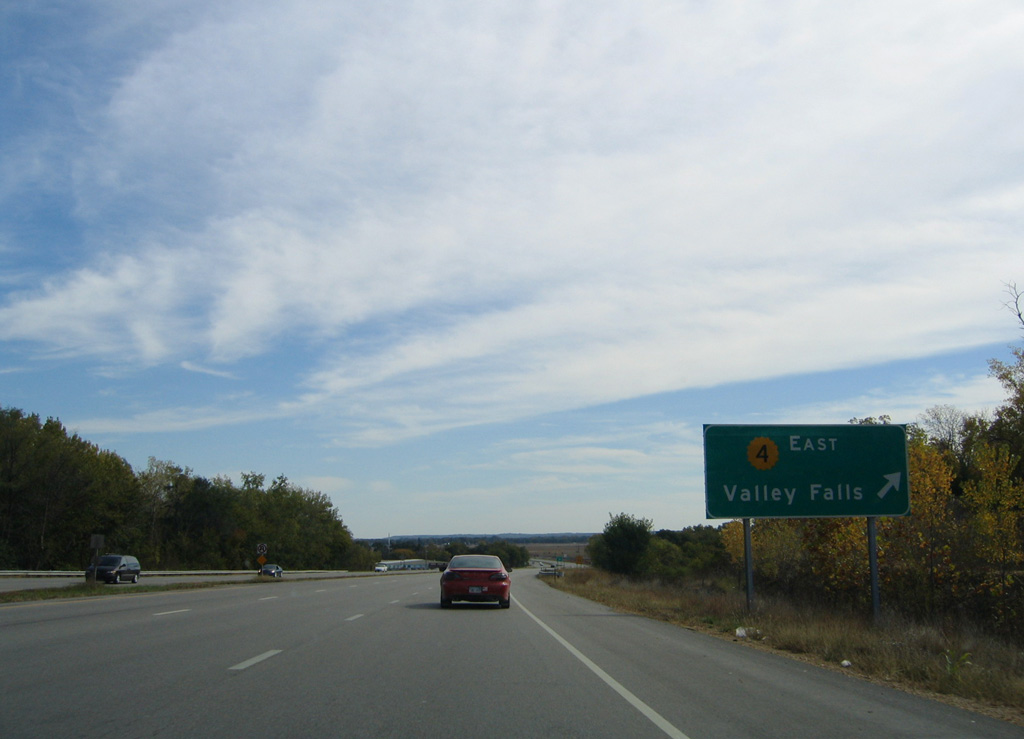
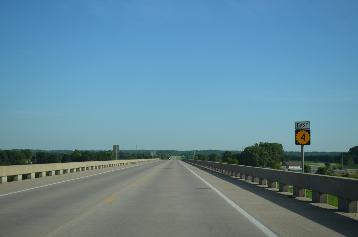
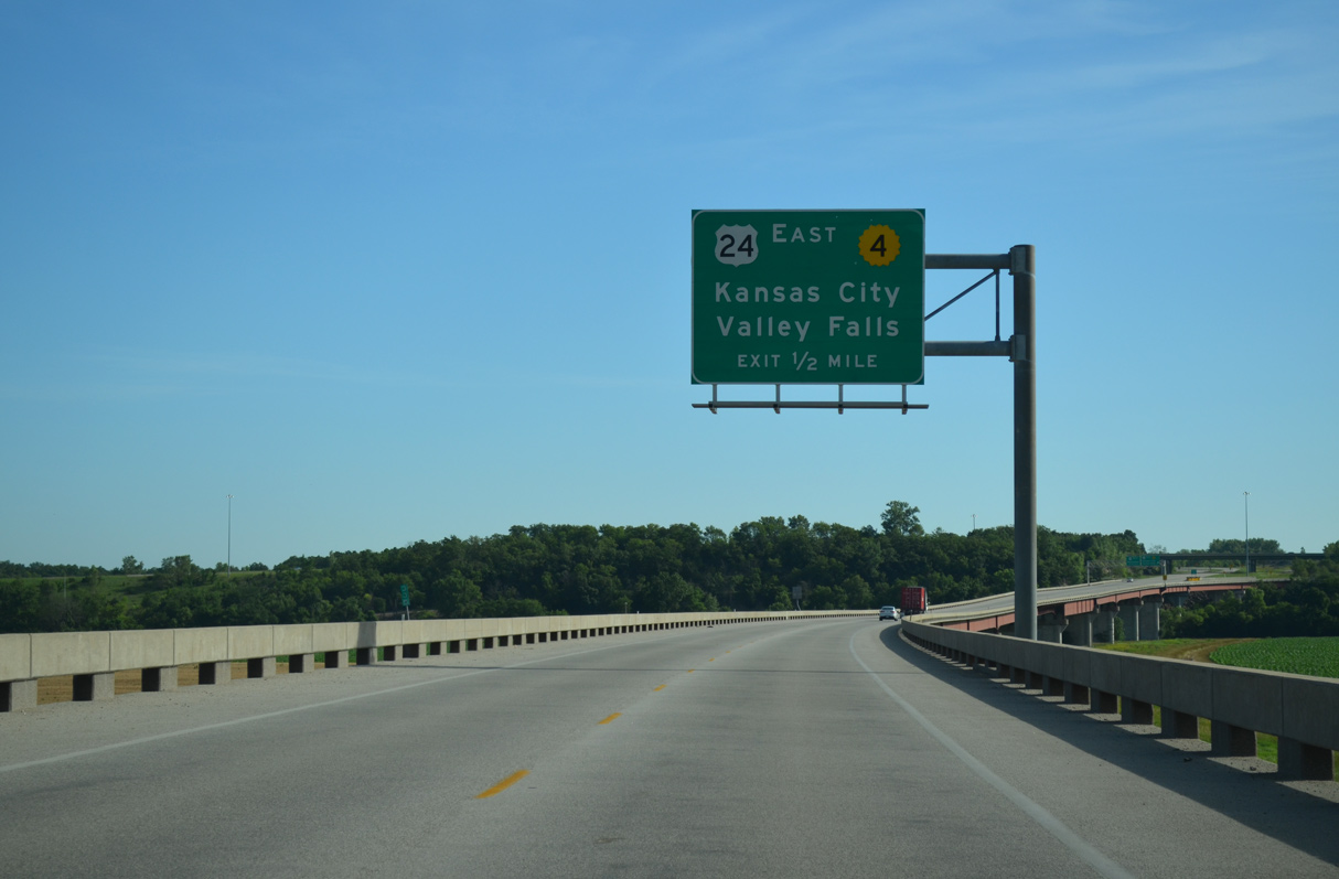
K-4 turns north toward Valley Falls from U.S. 24 at a diamond interchange just east of the Oakland Expressway.
10/17/04
K-4 dog legs west alongside U.S. 24 for 0.65 miles from a diamond interchange at Calhoun Bluff Road (old U.S. 24) to the Oakland Expressway.
10/17/04
K-4 turns south onto the Oakland Expressway at a trumpet interchange with a graded loop ramp for the unbuilt continuation of the two lane freeway north.
10/17/04
The Oakland Expressway leads K-4 south 4.25 miles to the East Topeka Interchange joining I-70, I-470 and the Kansas Turnpike.
10/17/04
The overpasses for U.S. 24 at the exchange with K-4 were built to accommodate a separate roadway for the Oakland Expressway northbound.
06/19/15
K-4 (Oakland Expressway) proceeds south over Calhoun Bluff Road and a Union Pacific Railroad.
06/19/15
A 5,534.7 foot long bridge3 extends south to the Kansas River along the Oakland Expressway.
06/19/15
Philip Billard Airport (TOP) lies just west of the Oakland Expressway and north of Seward Avenue.
06/19/15
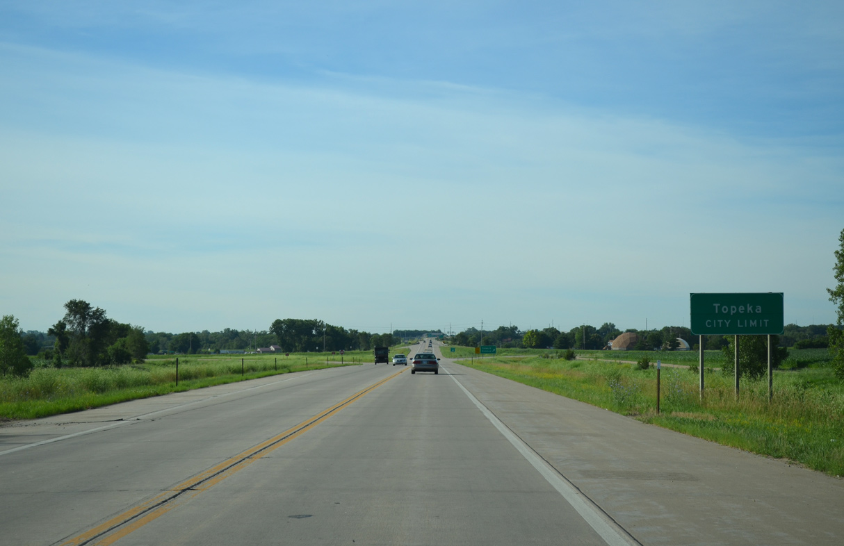
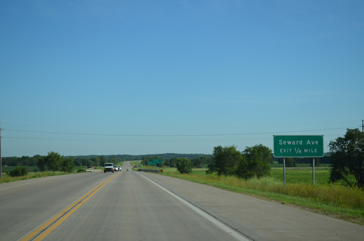
K-4 enters the Topeka city limits ahead of the folded diamond interchange with Seward Avenue.
06/19/15
Seward Avenue runs west to the Oakland and Eastend neighborhoods in Topeka and east toward Tecumseh.
06/19/15
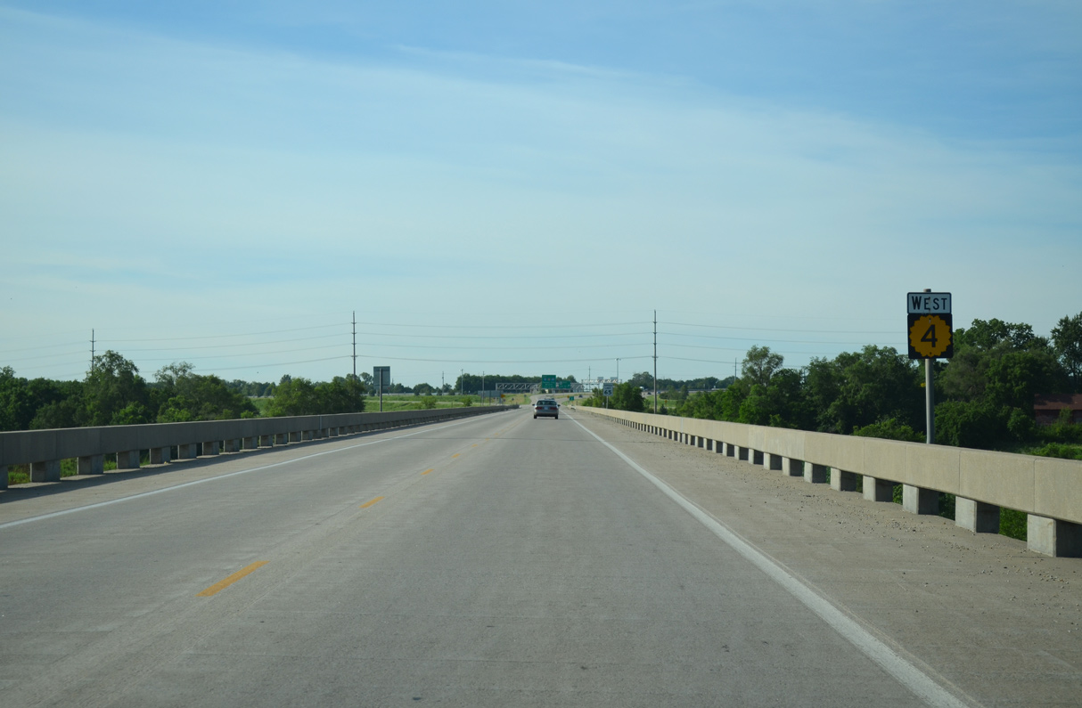
K-4 (Oakland Expressway) converges with U.S. 40 (SE 6th Avenue) west in a half mile.
06/19/15
K-4 spans a BSNF Railroad line and Shunganunga Creek ahead of the folded diamond interchange with U.S. 40 (SE 6th Avenue).
06/19/15
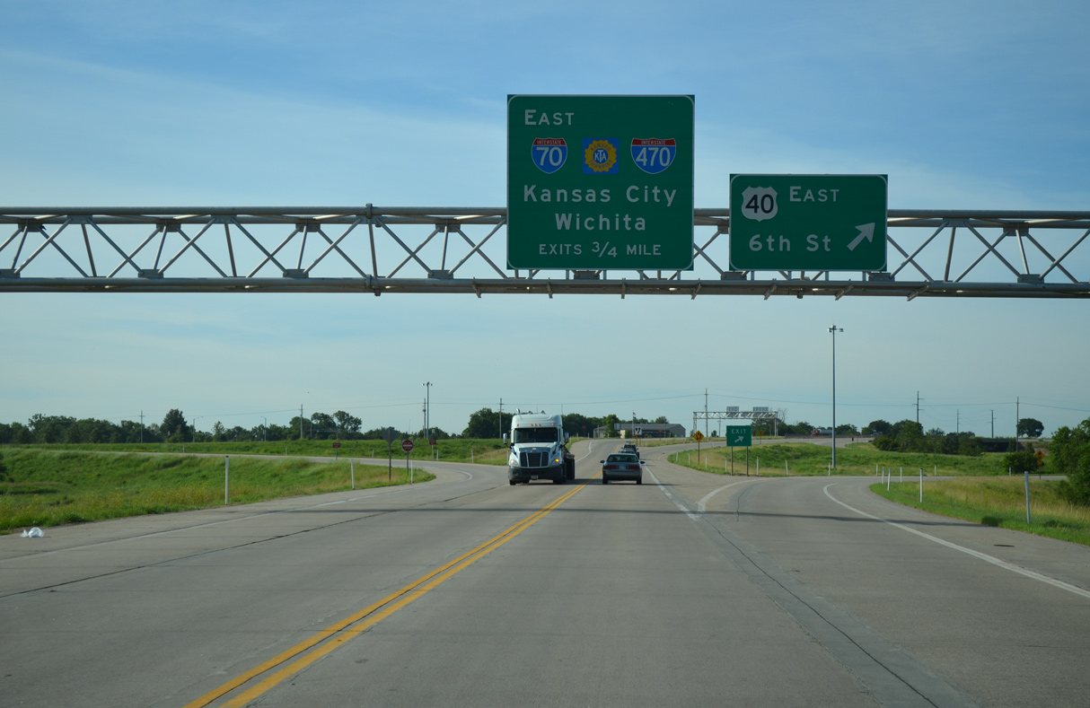
U.S. 40 combines with K-4 (Oakland Expressway) from Tecumseh to Interstate 70 west across the capital city.
06/19/15
Completed in 2001, the East Topeka Interchange joins the south end of the Oakland Expressway with I-70 west to Downtown Topeka, I-70 (Kansas Turnpike) east to Lawrence and I-470 west to south Topeka.
06/19/15
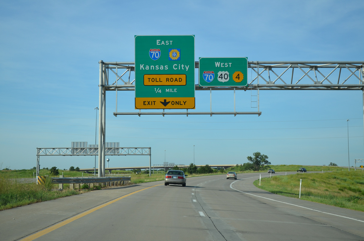
Interstate 70 east overtakes the tolled Kansas Turnpike from I-470 to U.S. 24-40-73/K-7 at Bonner Springs.
06/19/15
The Kansas Turnpike continues southwest from U.S. 40/K-4 (Oakland Expressway) as I-470 to I-335 at south Topeka en route to Emporia and Wichita.
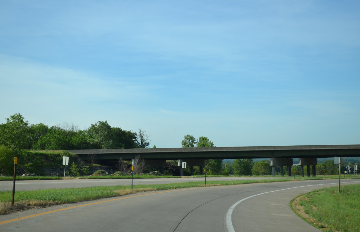
11/04/03
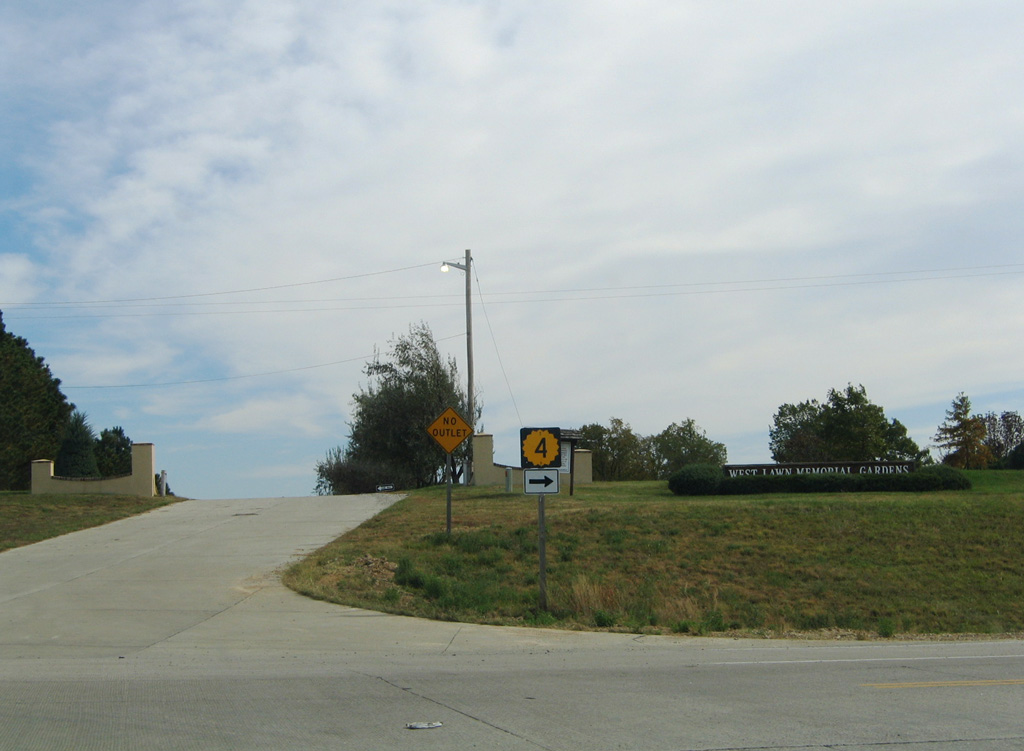
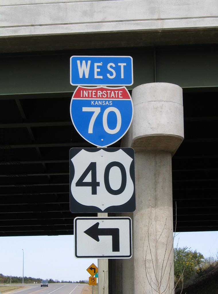
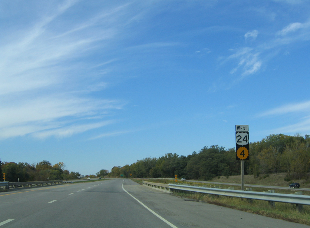
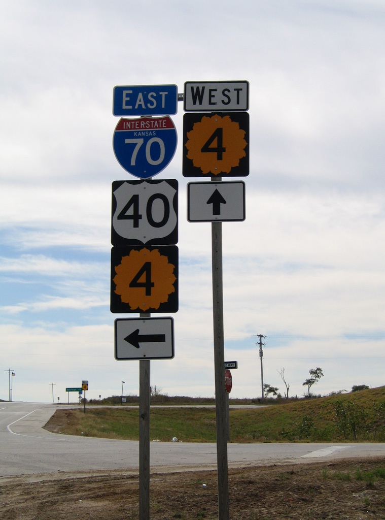
K-4 parts ways with I-70/U.S. 40 at a parclo interchange (Exit 353) west of Topeka. K-4 follows Auburn Road south from I-70 and West Lawn Memorial Gardens.
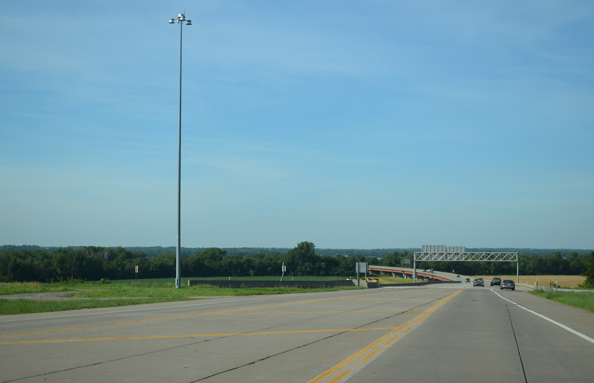
10/17/04
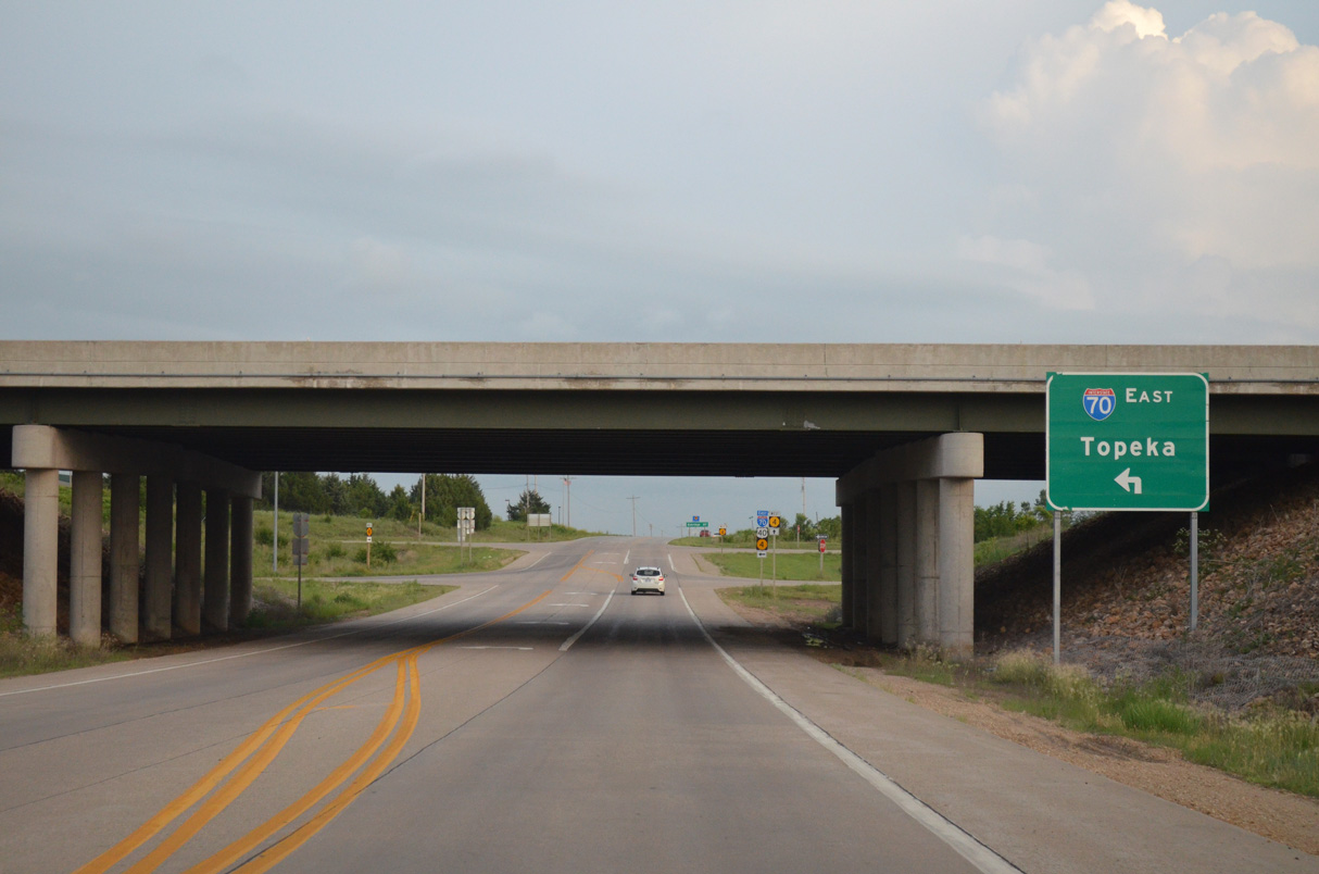
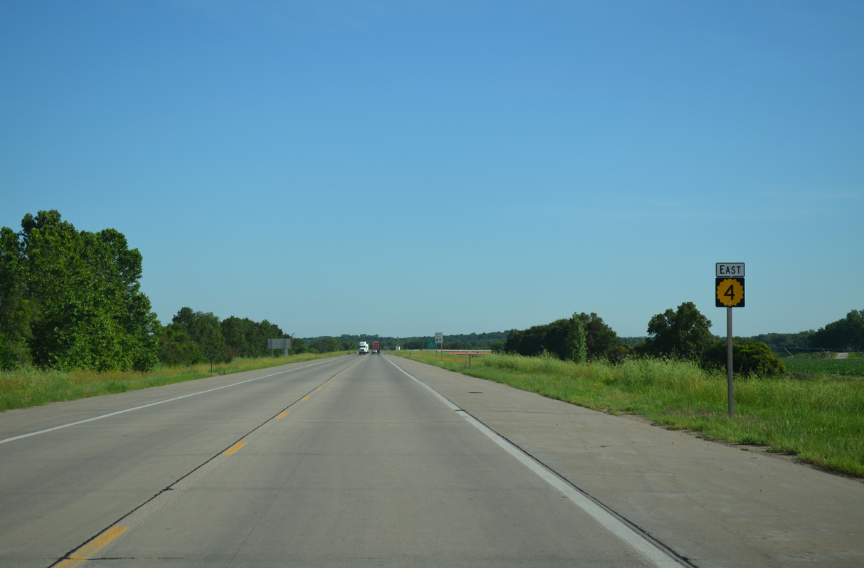
South from Interstate 70 and U.S. 40, K-4 lines Auburn Road 2.02 miles before turning west toward Dover.
10/18/15
10/17/04
References:
- Kansas Highway 4. Richie Kennedy - route56.com.
- K-4 Hwy over Shunganunga CR & RR, Shawnee County, Kansas. BridgeReports.com.
- K-4 Hwy over KS Riv/RR/Calholn Bluf, Shawnee County, Kansas. BridgeReports.com.
Photo Credits:
- ABRoads: 06/18/15, 06/19/15, 10/18/15
- AARoads: 10/17/04
- Justin Cozart: 11/04/03
Connect with:


Page Updated Friday November 05, 2021.