
Highway 96

K-96 is a part of a multi state highway extending 300.20 miles east from Colorado to U.S. 54/400 in Wichita. K-96 enters the Sunflower State west of Tribune in Greeley County. The rural highway bee lines east to the county seats of Leoti, Scott City and Dighton. Shifting slightly southward, K-96 continues to the Ness County seat of Ness City.
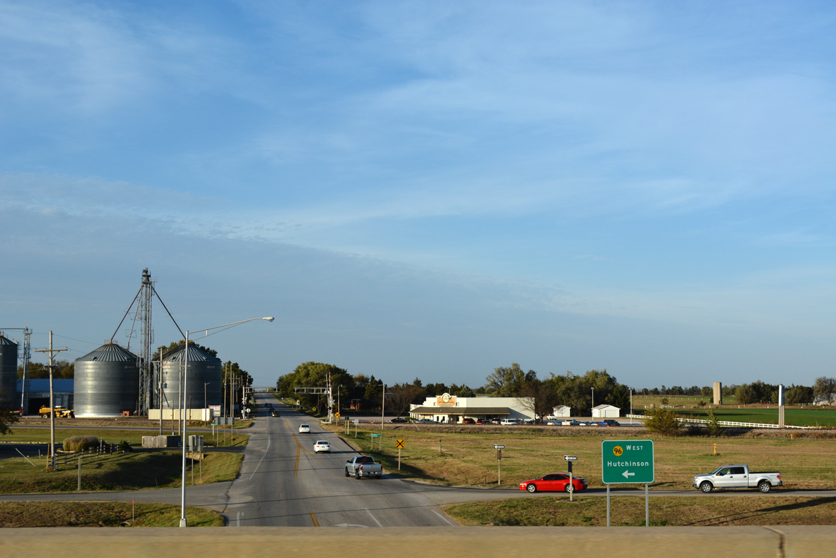
K-96 converges with U.S. 56 in the city of Great Bend. The two overlap east to Ellinwood, Chase and Lyons. U.S. 56 remains east to McPherson while K-96 joins K-14 south from Lyons to Sterling, Nickerson and Hutchinson. The two routes combine with U.S. 50 at South Hutchinson before turning south and parting ways.
Southeast from Hutchinson to the northwest suburbs of Wichita at Maize, K-96 comprises a controlled access at-grade expressway. The state highway upgrades to a freeway leading into the city, where it overlaps with I-235 east to I-135/U.S. 81 near Park City. Following a brief overlap with I-135 south, K-96 turns east along a belt freeway between northeast Wichita and Bel Aire. The route concludes just south of the Kansas Turnpike at U.S. 54/400 near Andover.
Kansas Highway 96 Guides
East - Wichita - 49 photos
West - Northeast Wichita - 42 photos
West - Northwest Wichita to Mt Hope - 44 photos
West - Haven to Hutchinson - 32 photos
A diamond interchange joins Yoder Road with the expressway along K-96 at the unincorporated community of Yoder in Reno County.
10/31/16
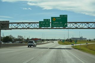
A half diamond interchange joins Hydraulic Avenue with K-96 adjacent to the ramps connecting the freeway with I-135-U.S. 81/K-15 in Wichita.
10/05/21

Rock Road leads north from the Cottonwood Village neighborhood in Wichita to a diamond interchange with K-96.
10/05/21
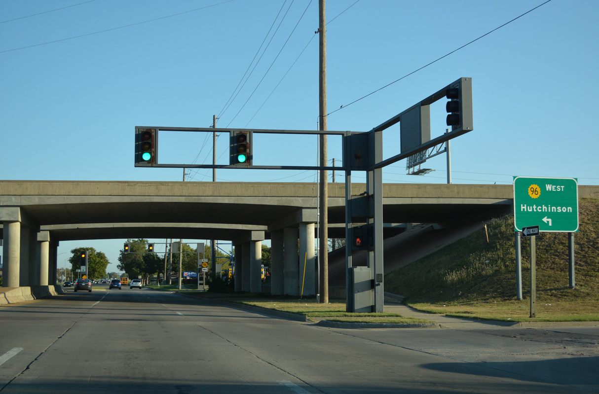
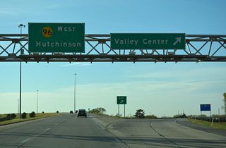
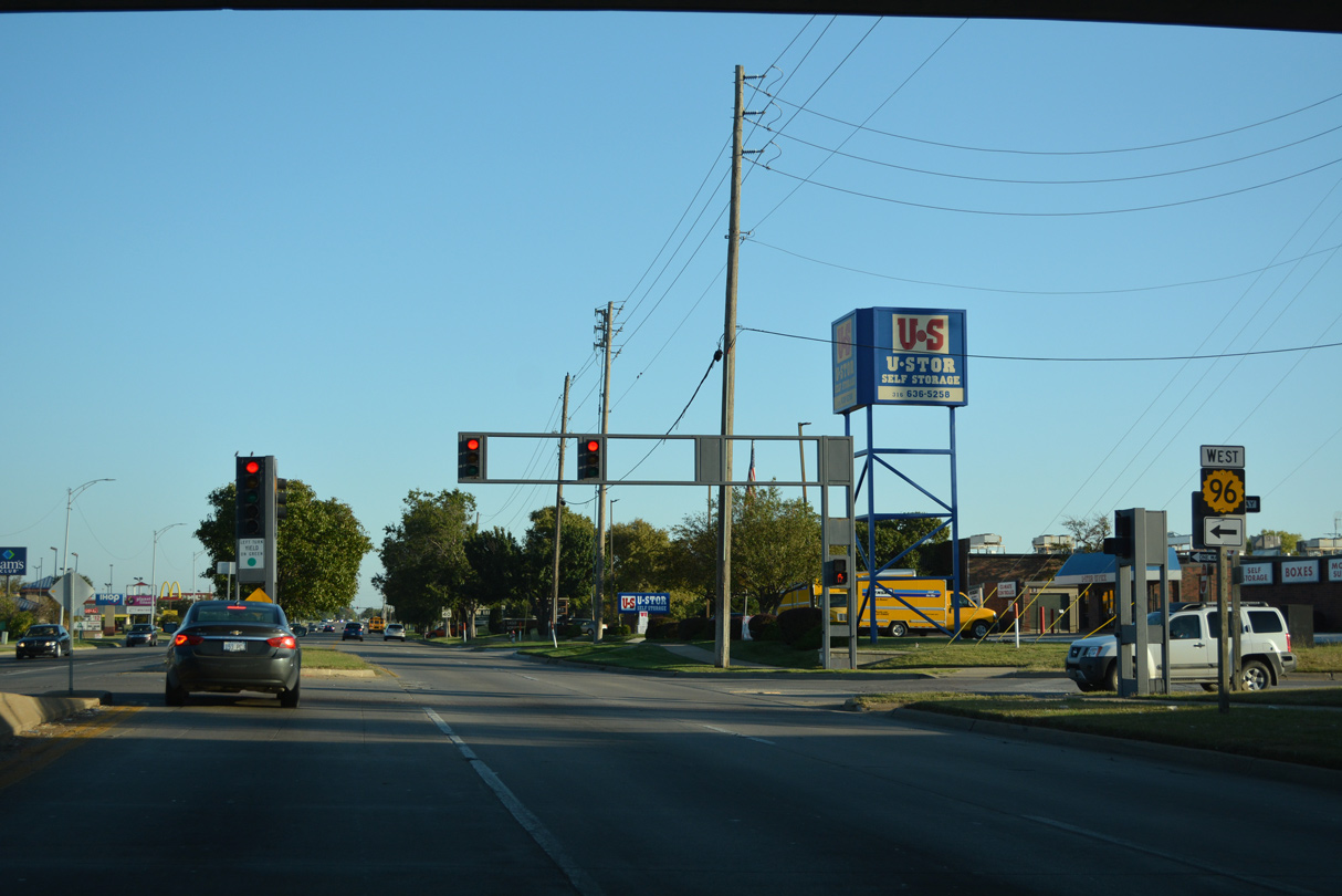
Guide signs for the westbound entrance ramp to K-96 reference Hutchinson, the Reno County seat located along K-96 at U.S. 50 and K-14.
10/05/21
K-96 leads west from Rock Road to Interstate 135 by K-96 Fishing Lake and Hydraulic Avenue.
10/05/21
Rock Road constitutes a commercial arterial leading south to K-96 in northeast Wichita.
10/05/21
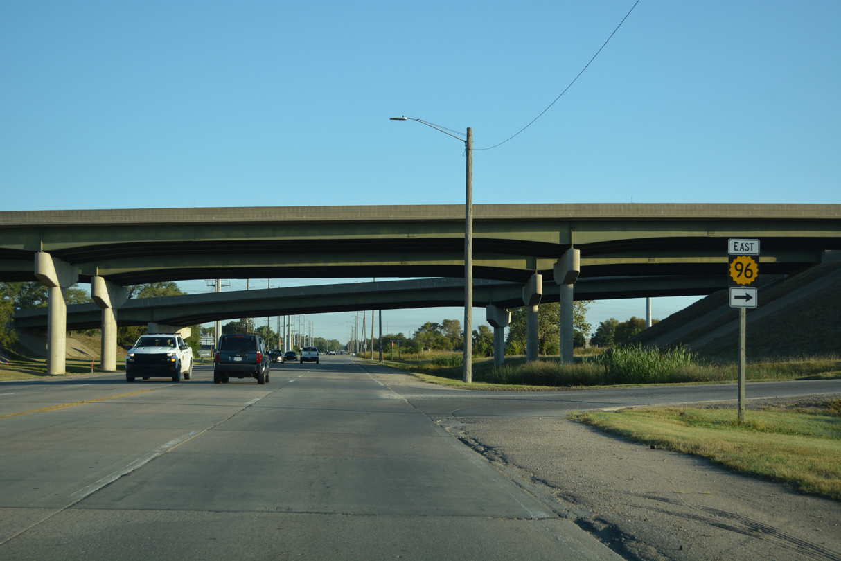
A diamond interchange joins Rock Road with K-96 east toward Andover and west to I-135.
10/05/21
K-96 comprises a freeway northwest from U.S. 54/400 to Rock Road by the Cottonwood Village community in Wichita and I-135 west of Northeast Heights.
10/05/21
Photo Credits:
- Alex Nitzman, JP Nasiatka: 10/31/16
- ABRoads: 10/05/21
Connect with:
Page Updated Wednesday October 13, 2021.