
La Cienega Boulevard
Although many freeways currently crisscross the greater Los Angeles region, plenty of additional freeways were contemplated yet never constructed. One of these was the Laurel Canyon Freeway, a proposed north-south freeway planned to be signed as California 170. The Laurel Canyon Freeway would have begun at Interstate 405 and La Cienega Boulevard and traveled north along a corridor generally defined along La Cienega Boulevard, Fairfax Avenue, and Laurel Canyon Boulevard. The freeway would then link to U.S. 101 and California 170 at or near the Hollywood Split, which is the interchange between the Ventura Freeway and Hollywood Freeway (or between U.S. 101, California 134, and California 170). None of the Laurel Canyon Freeway was built except for the freeway portions of La Cienega Boulevard through Baldwin Hills. The rest of the route encountered local opposition, especially through western Los Angeles, the city of West Hollywood, and the city of Los Angeles community of Laurel Canyon. Today, this freeway is dead and won't be built.
The photos below profile the segments of La Cienega Boulevard that were constructed to freeway or expressway standards by Los Angeles County. The freeway segments of the boulevard through the Baldwin Hills is maintained by the county since the Baldwin Hills are largely unincorporated.
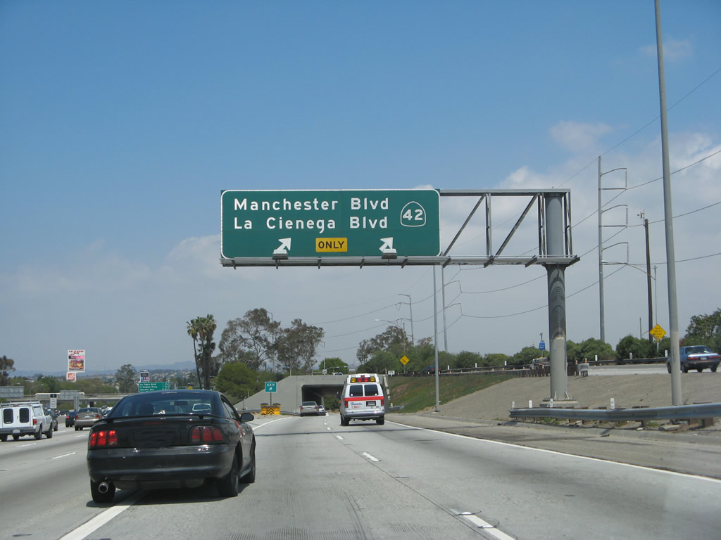
Although not part of the state highway system, this series of photos profiles La Cienega Boulevard as it leads north from Interstate 405 toward Interstate 10. In this photo, La Cienega Boulevard splits off Interstate 405 (San Diego Freeway) at the California 42/Manchester Boulevard interchange.
04/21/07
Once on the off-ramp to La Cienega Boulevard and Manchester Boulevard, stay left to follow La Cienega Boulevard. This interchange was configured as a freeway-to-freeway interchange, even though the freeway to La Cienega Boulevard was never built.
04/21/07
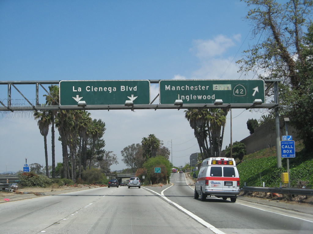
The off-ramp eventually splits between La Cienega Boulevard and Manchester Boulevard (Exit 47, former California 42).
04/21/07
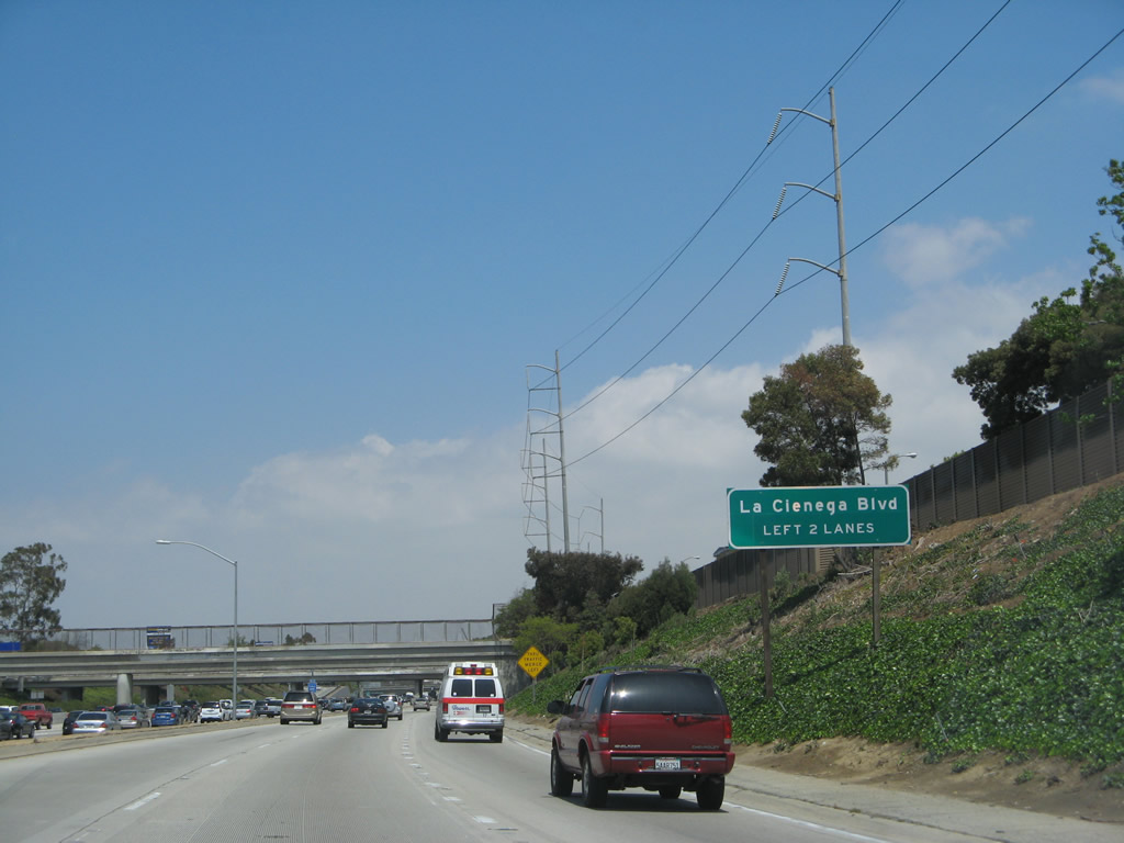
Now on its own alignment parallel to Interstate 405, northbound La Cienega Boulevard avoids most cross streets starting with Manchester Boulevard, which crosses overhead.
04/21/07
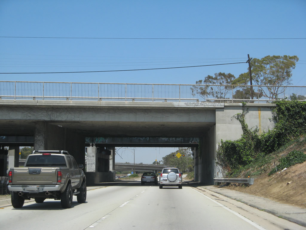
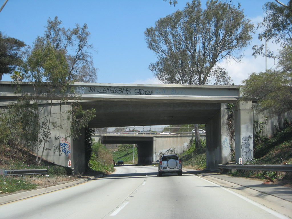
Another bridge carries Florence Avenue over La Cienega Boulevard. Here the freeway is still within the footprint of nearby Interstate 405.
04/21/07
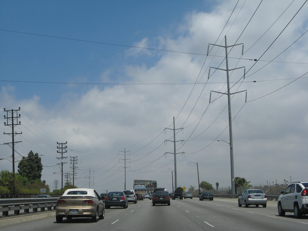
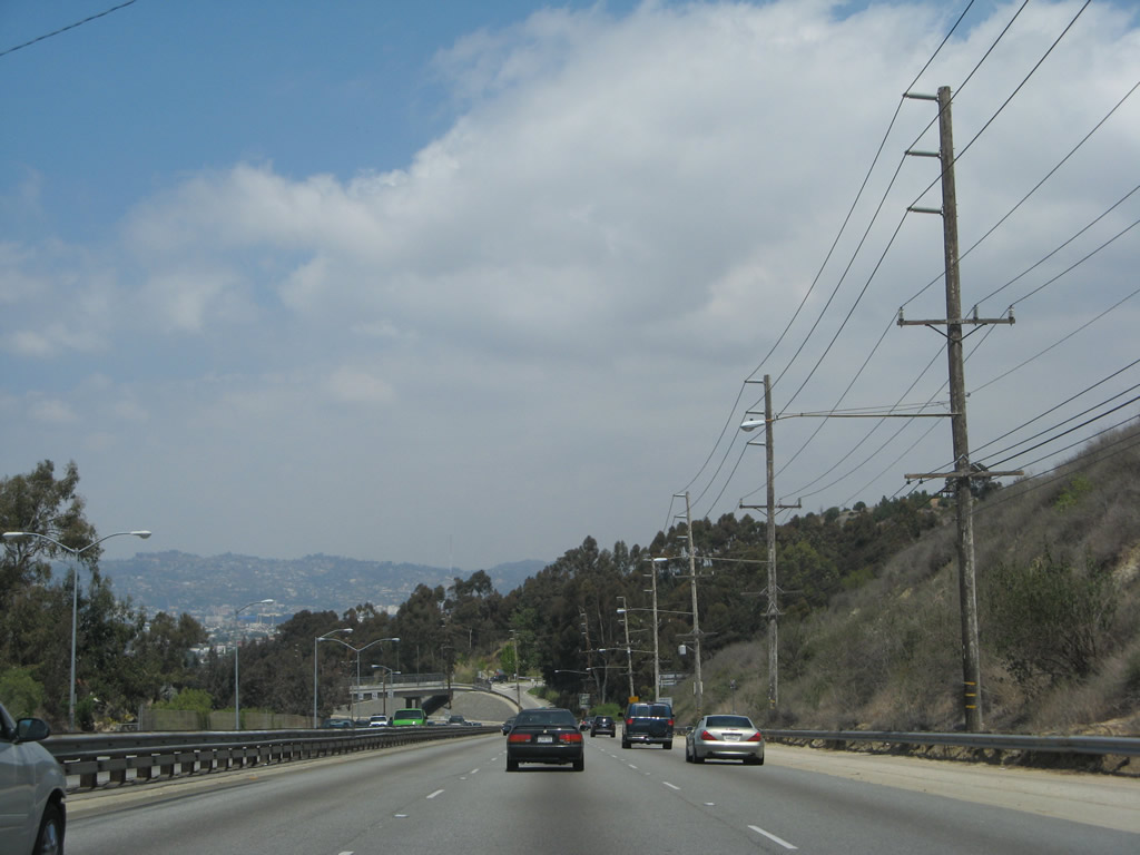
After the Florence Avenue overpass, northbound La Cienega Boulevard pulls away from Interstate 405 and shifts onto its own alignment. The highway carries four to six lanes and has traffic signals and cross traffic between here and Slauson Avenue.
04/21/07
La Cienega Boulevard is maintained by the city of Los Angeles.
04/21/07
This is a very busy roadway, with limited sidewalks to start and power lines hanging over the travel lanes. There are several approaching side streets, so watch for turning traffic.
04/21/07
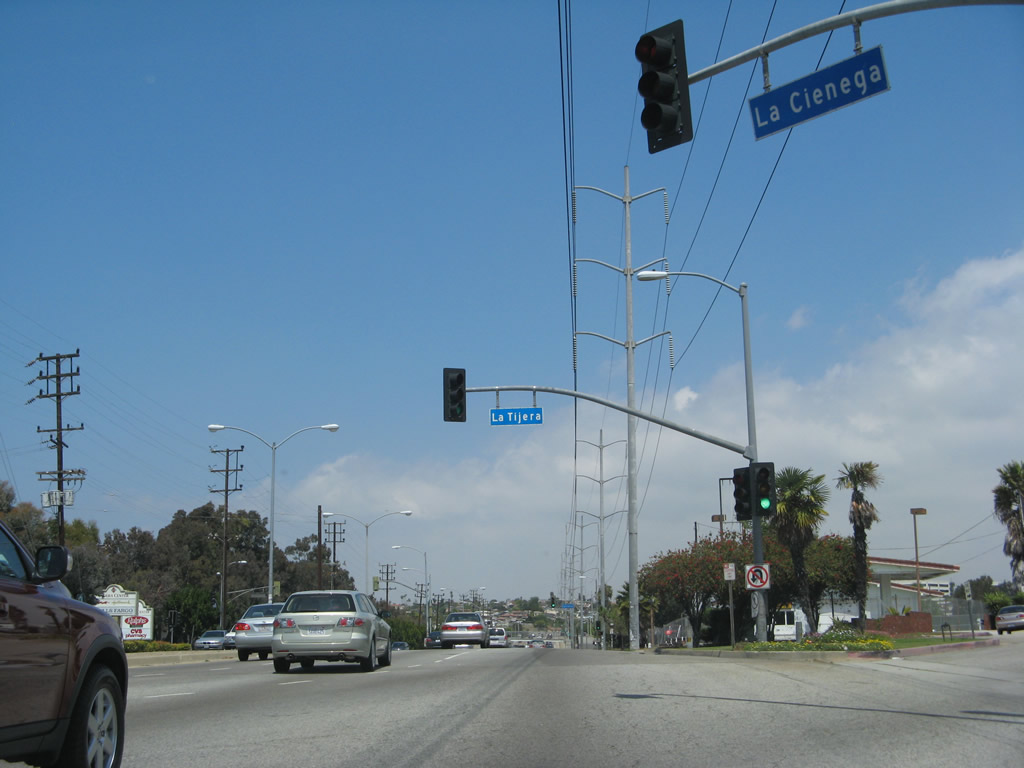
Northbound La Cienega Boulevard meets La Tijera Boulevard at this traffic signal.
04/21/07
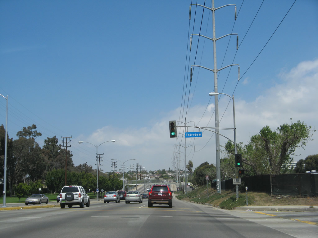
Immediately thereafter, northbound La Cienega Boulevard meets Fairview Boulevard at this traffic signal.
04/21/07
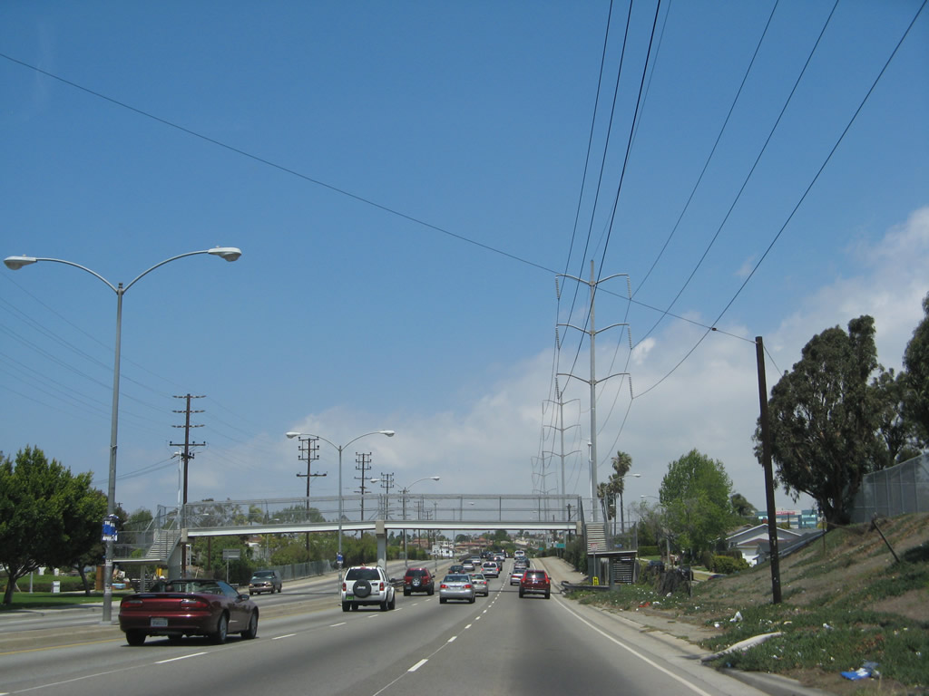
A pedestrian bridge crosses La Cienega Boulevard to allow residential access to a school on the east side of La Cienega Boulevard.
04/21/07
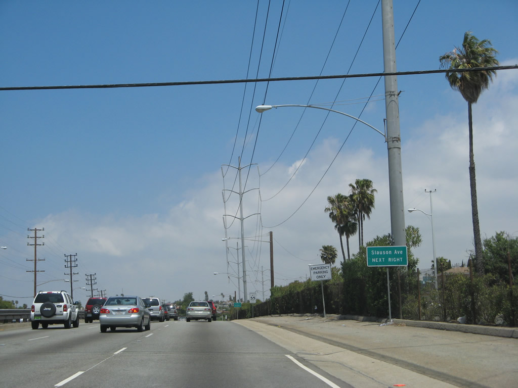
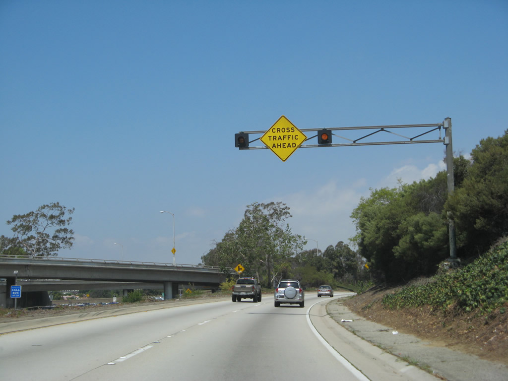
Beginning its freeway segment, the first exit along northbound La Cienega Boulevard is with Slauson Avenue (next right). This freeway segment would likely have been incorporated into California 170/Laurel Canyon Freeway had it been constructed as originally envisioned.
04/21/07
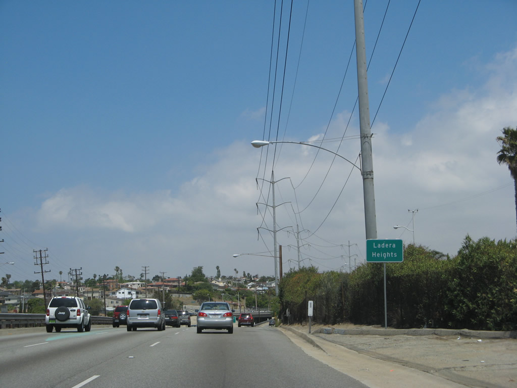
La Cienega Boulevard enters the community of Ladera Heights.
04/21/07
Northbound La Cienega Boulevard meets the off-ramp to Slauson Avenue, which is the planned alignment for California 90 should it ever be extended east of the Marina Freeway segment.
04/21/07
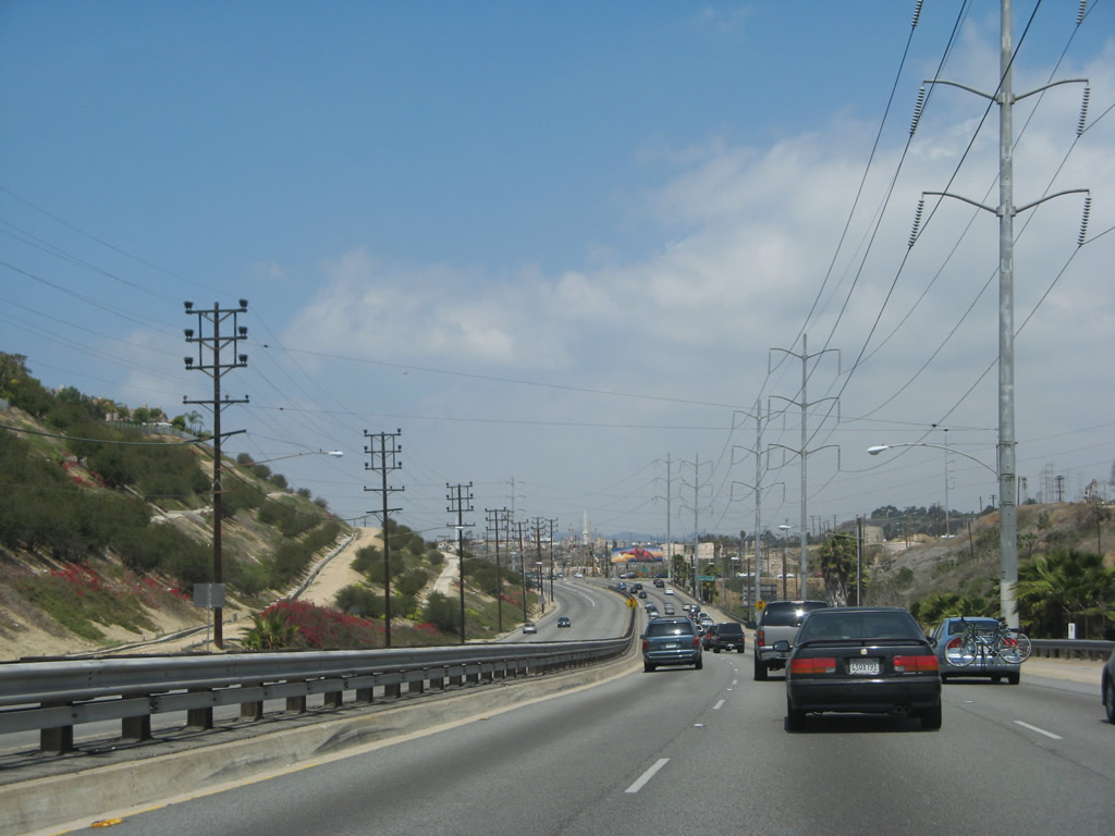
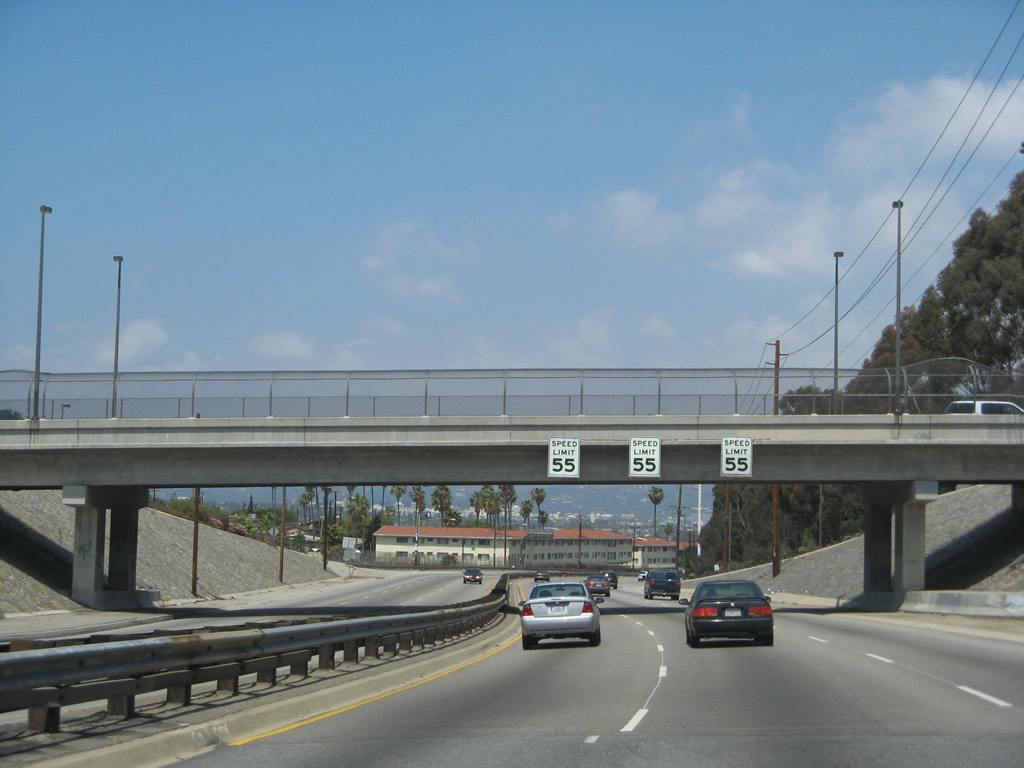
Built in the 1940s, La Cienega Boulevard features an older look to its freeway segment. Concrete banks line both sides of the freeway as it descends to pass under Slauson Avenue.
04/21/07
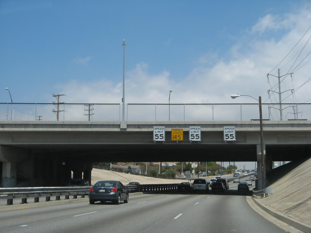
Somewhat unusual was an experiment to have different speed limits in each lane of La Cienega Boulevard, using the concept that the left lane would have faster vehicles and the right lane would have slower vehicles. The experiment called for the left lane to have a faster speed limit than the right lane, and speed limit signs were posted on overpasses along La Cienega Boulevard back when the study was conducted. As one could imagine, the various speed limits did not work, and now there are three speed limit signs, each with the same speed limit, posted over each lane of northbound La Cienega at Slauson Avenue.
04/21/07
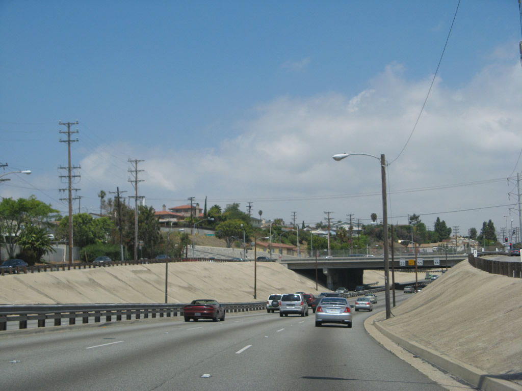
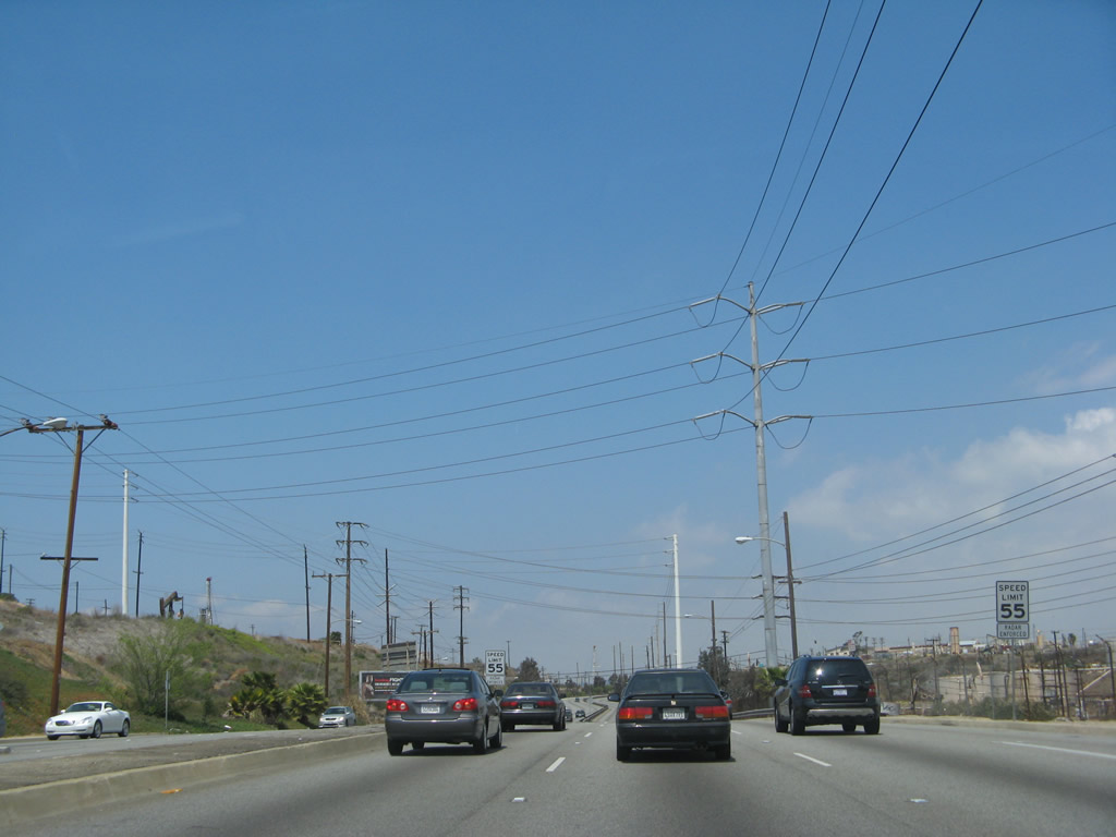
As a new lane joins northbound La Cienega Boulevard after the Slauson Avenue interchange, the freeway now has four northbound lanes ... but not for long.
04/21/07
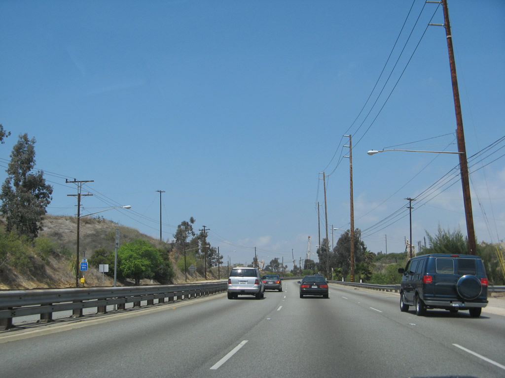
La Cienega Boulevard skirts the western edge of the Baldwin Hills, which have been tapped for oil and gas for decades.
04/21/07
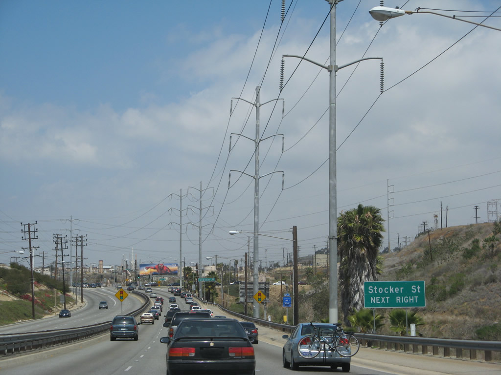
The next traffic signal along La Cienega Boulevard north is with Stocker Street (next right). Yes, the freeway (briefly) ends ahead.
04/21/07
Use the right lane to connect from La Cienega Boulevard north to Stocker Street east.
04/21/07
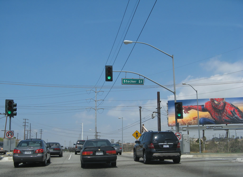
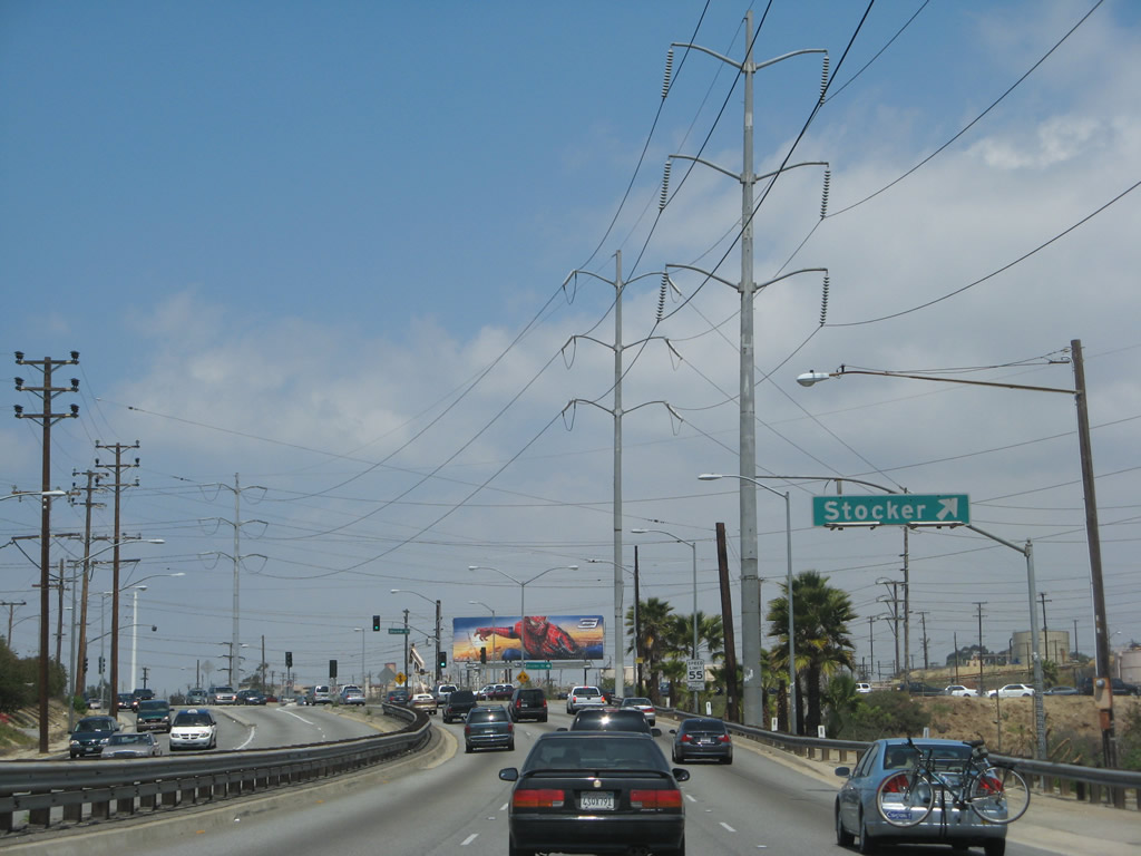
Northbound La Cienega Boulevard meets Stocker Street at this traffic signal. The freeway resumes ahead.
04/21/07
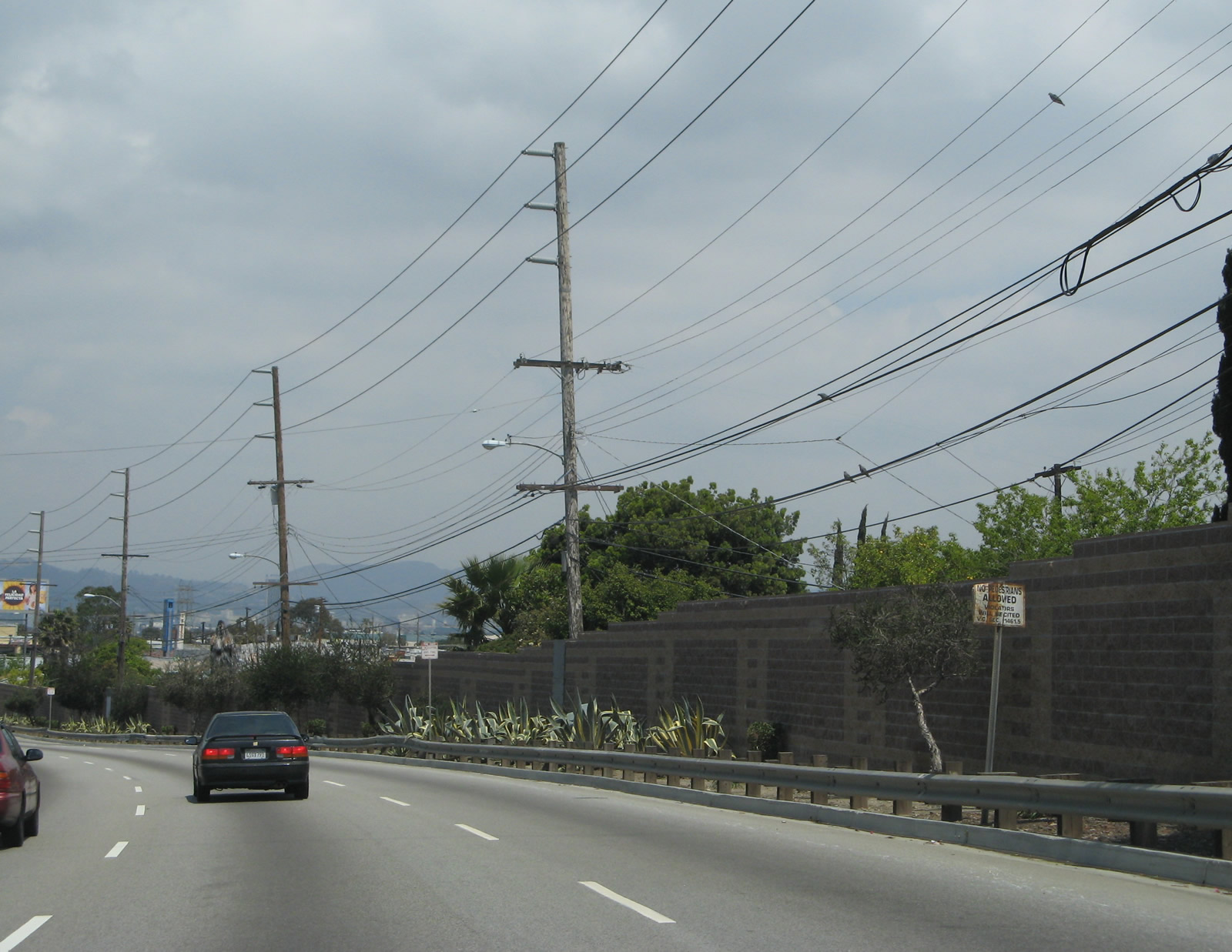
The tall power lines that have lined La Cienega Boulevard since leaving Interstate 405 finally split away after the Stocker Street intersection.
04/21/07
La Cienega Boulevard continues through the industrial Baldwin Hills area. Look for oil derricks and other oil-related plants nearby.
04/21/07
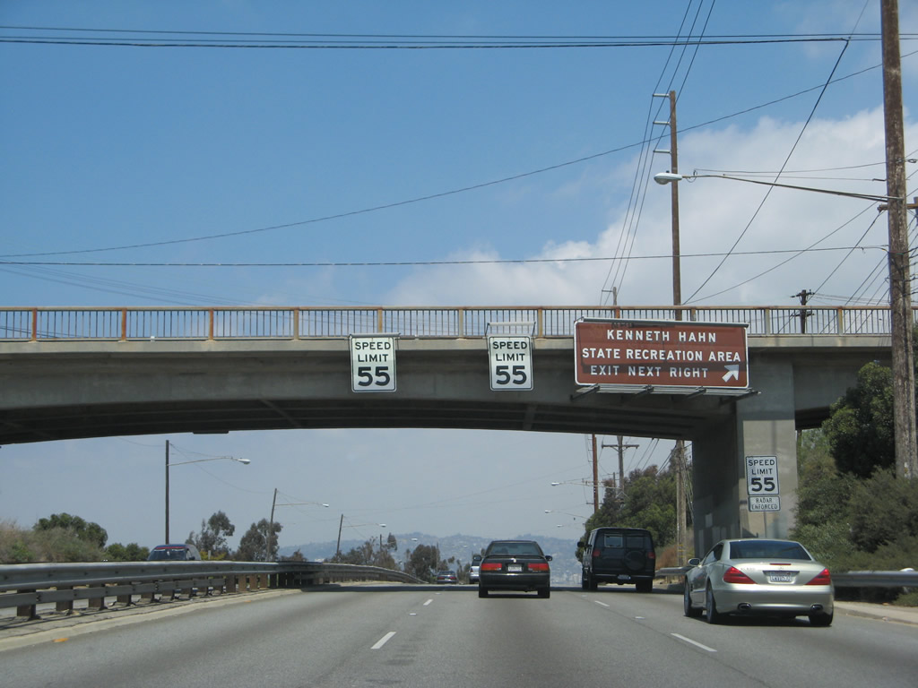
The next (and final) exit along La Cienega Boulevard is with Kenneth Hahn State Recreation Area Drive in Baldwin Hills (next right).
04/21/07
This view looks north along La Cienega Boulevard in the Baldwin Hills toward the Kenneth Hahn State Recreation Area Drive interchange.
04/21/07
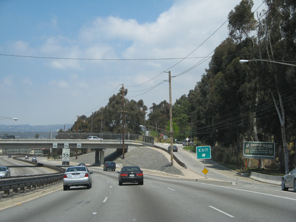
Northbound La Cienega Boulevard meets the off-ramp to Kenneth Hahn State Recreation Area Drive in Baldwin Hills.
04/21/07
Passing under Kenneth Hahn State Recreation Area Drive is another triple speed limit sign assembly. We've not seen this arrangement with speed limit signs anywhere else in Southern California. The three different speed limit signs are posted here because at one point an experiment was conducted where each lane had a separate speed limit, with rates faster to the left and slower to the right.
04/21/07
A very old sign warns that pedestrians are prohibited along La Cienega Boulevard north of Kenneth Hahn State Recreation Area Drive.
04/21/07
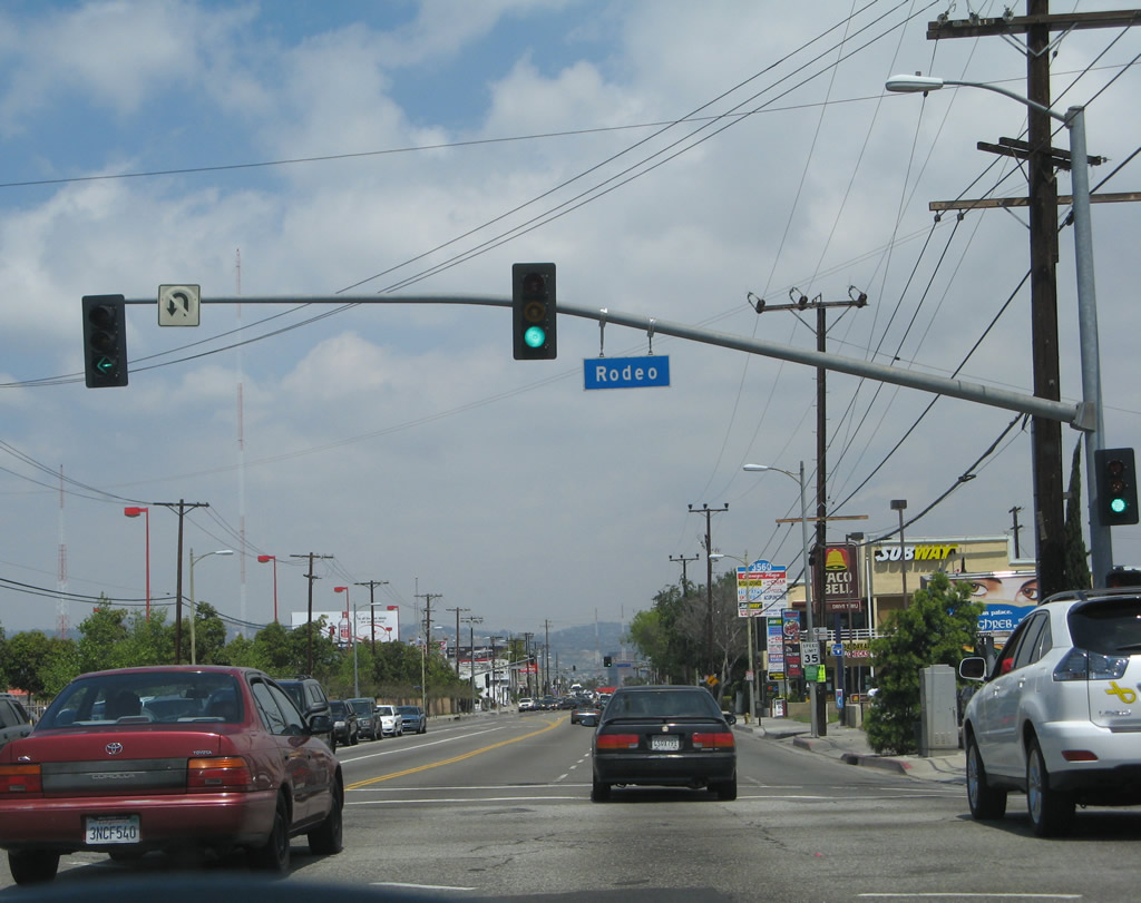
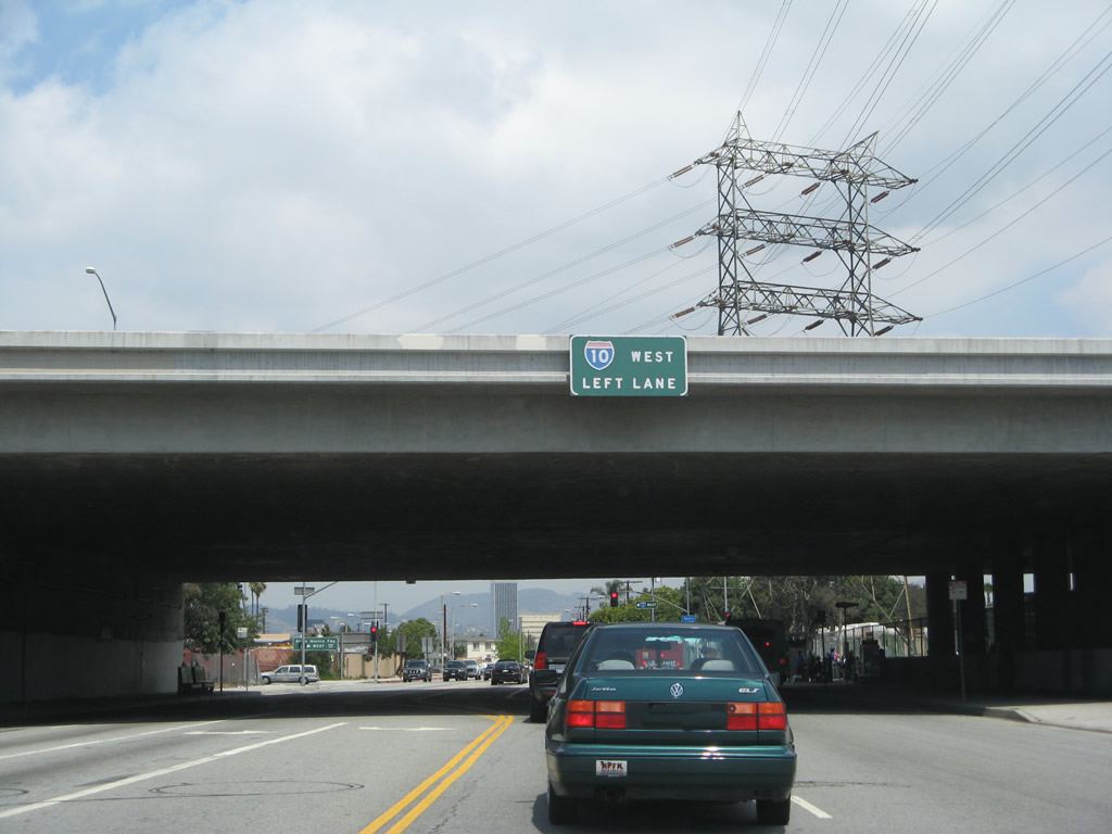
The freeway ends as La Cienega Boulevard approaches and meets Rodeo Road. The rest of La Cienega Boulevard north is a standard city street, including its interchange with Interstate 10 (Santa Monica Freeway).
04/21/07
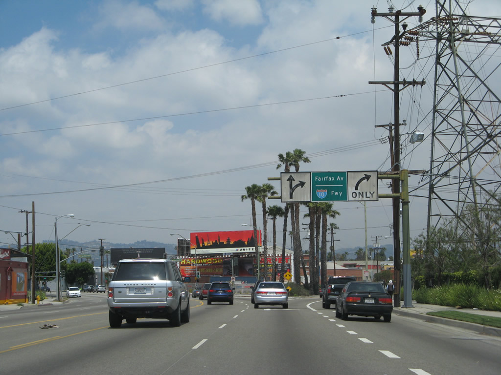
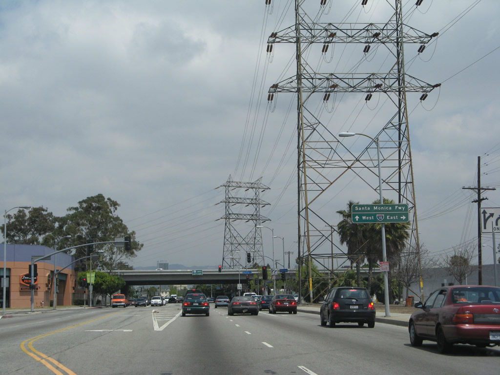
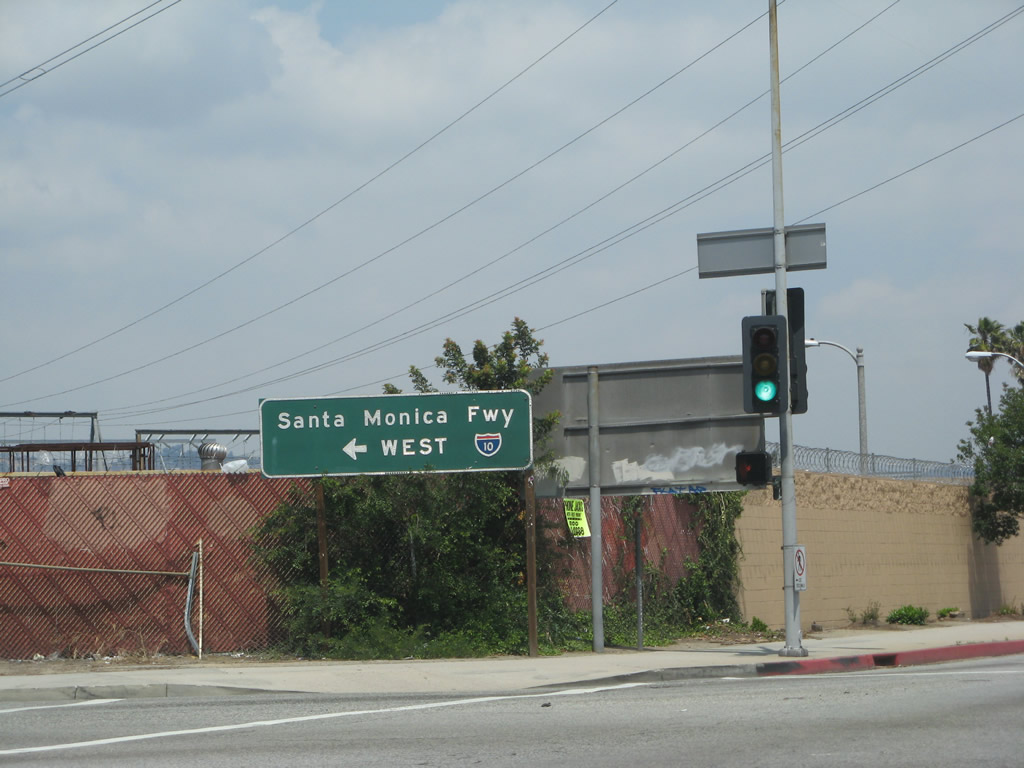
After passing the intersection with Jefferson Boulevard, northbound La Cienega Boulevard prepares to split with Fairfax Avenue. Stay left for La Cienega Boulevard to California 187 (Venice Boulevard) or right for Fairfax Avenue to Interstate 10 (Santa Monica Freeway).
04/21/07
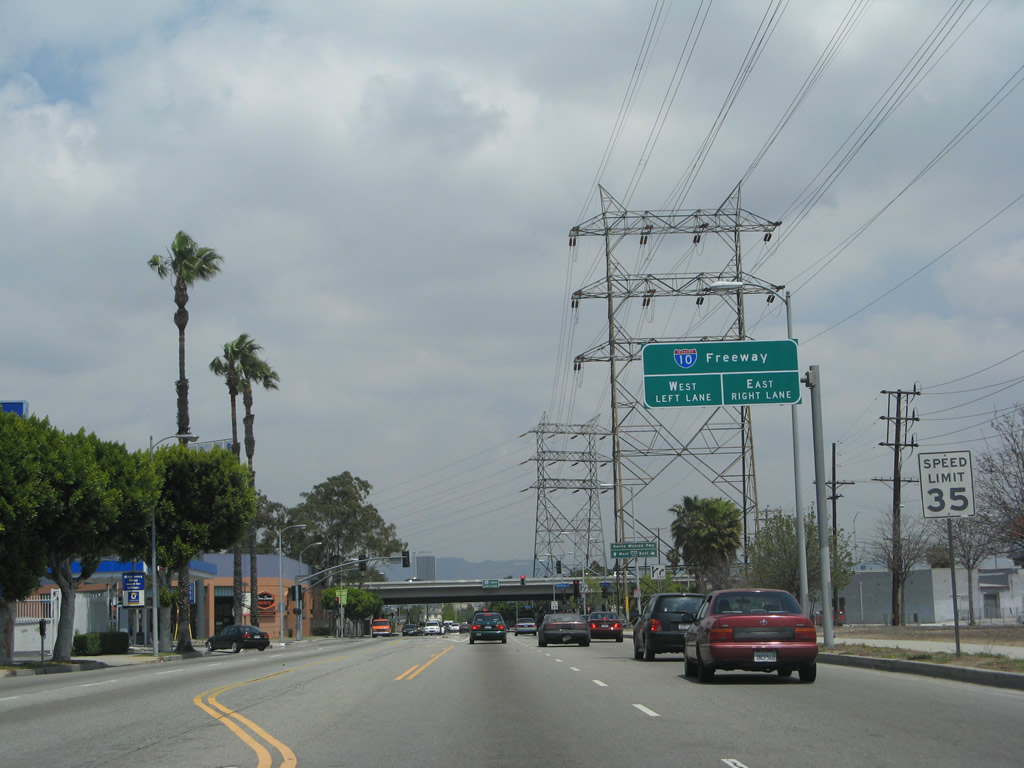
Fairfax Avenue branches northeast from La Cienega Boulevard in Los Angeles to Washington Boulevard at Interstate 10 (Santa Monica Freeway).
04/21/07
Photo Credits:
- Andy Field: 04/21/07
Connect with:
Page Updated Monday April 11, 2011.