
Route 19
Maryland Route 19 is a rural highway in Queen Annes County connecting the town of Church Hill with the unincorporated community of Ingleside. 8.60 miles in length, MD 19 follows Roberts Station Road west from MD 313 (Goldsboro Road) ahead of Ingleside to U.S. 301 and MD 405 (Price Station Road).
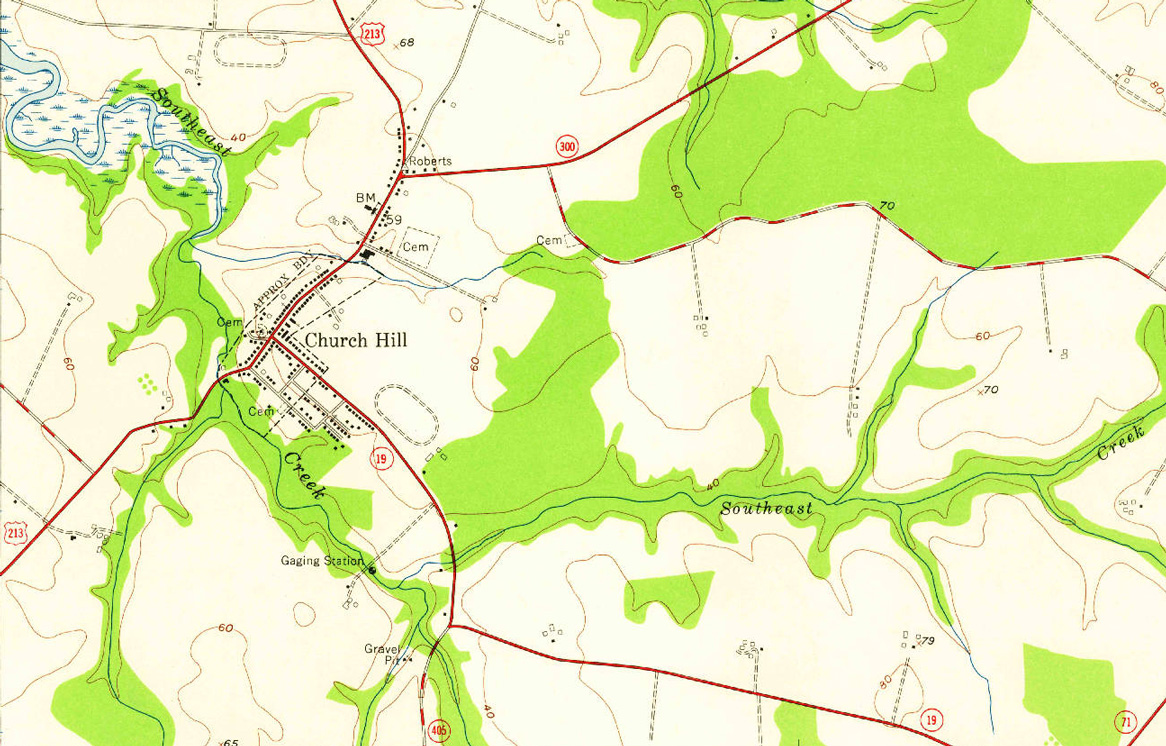
The 1959 USGS Quadrangle map showing U.S. 213 routed through Church Hill on what is now MD 19 and MD 19A.
MD 19 turns north onto Walnut Street at MD 405 one mile to Main Street in Church Hill. Main Street is the historic alignment of U.S. 213. MD 19 follows Main Street north 1.05 miles to MD 213 (Church Hill Road) beyond MD 300 (Sudlersville Road). Main Street south from Walnut Street 0.49 miles to MD 212 is unsigned MD 19A.
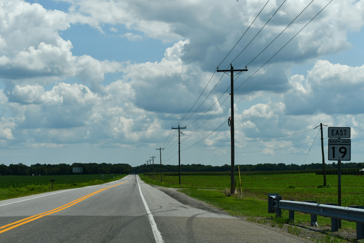
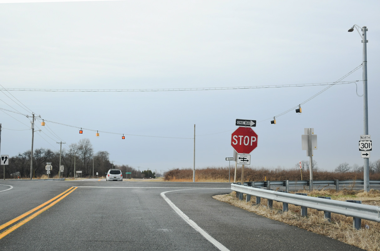
Leading away from the intersection with U.S. 301 on MD 19 (Roberts Station Road) eastbound.
07/27/24
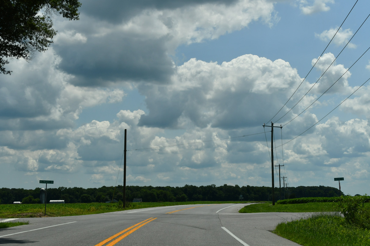
Carter Road north and Big Woods Road south come together at MD 19 midway between Roberts and Ingleside.
07/27/24
MD 19 (Roberts Station Road) continues southeast into the unincorporated community of Ingleside.
07/27/24
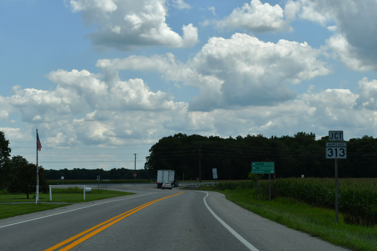
Turning east at Ingleside, MD 19 (Roberts Station Road) advances to MD 313 (Goldsboro Road) across from Ingleside Road.
07/27/24
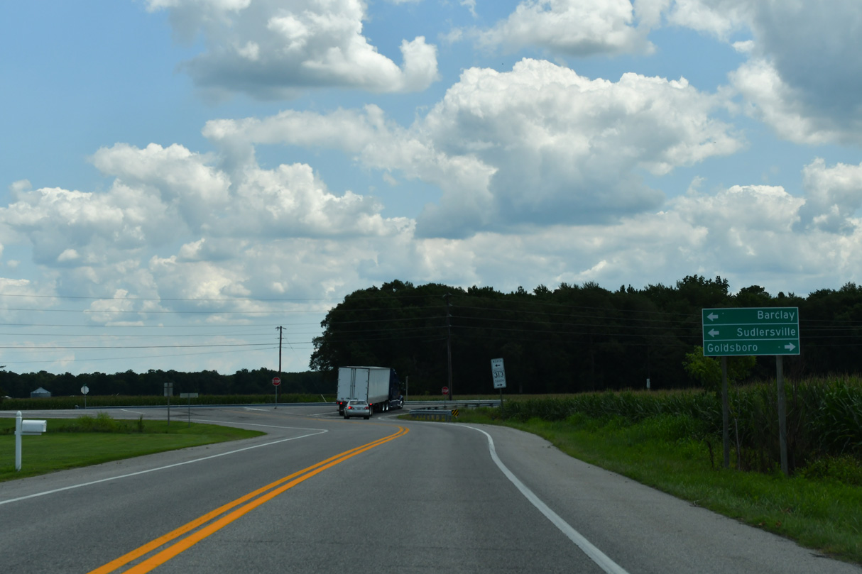
MD 313 (Goldsboro Road) heads north to the towns of Barclay, Sudlersville and Millington.
07/27/24
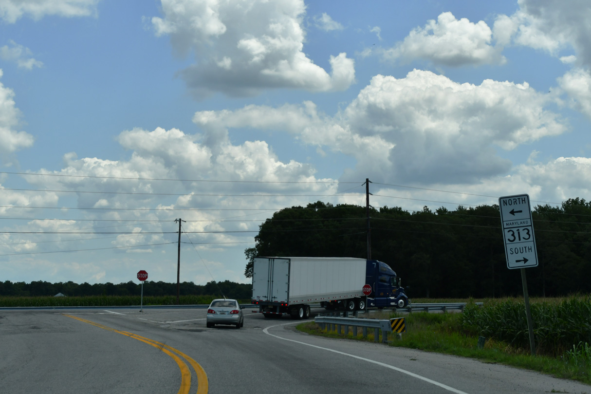
South from MD 19 (Roberts Station Road), MD 313 (Goldsboro Road) leads to MD 312 at Baltimore Corner and the town of Goldsboro.
07/27/24
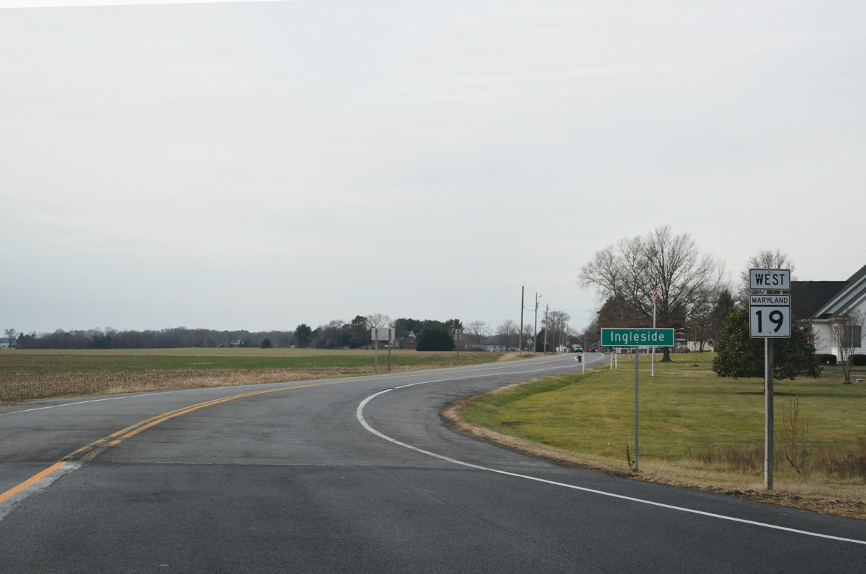
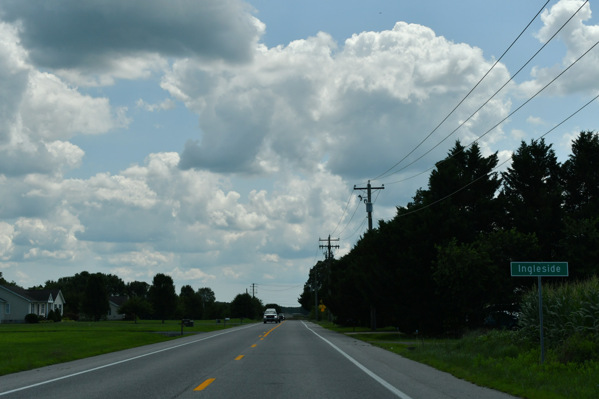
MD 19 (Roberts Station Road) enters the unincorporated community of Ingleside just west of MD 313 (Goldsboro Road).
12/24/24
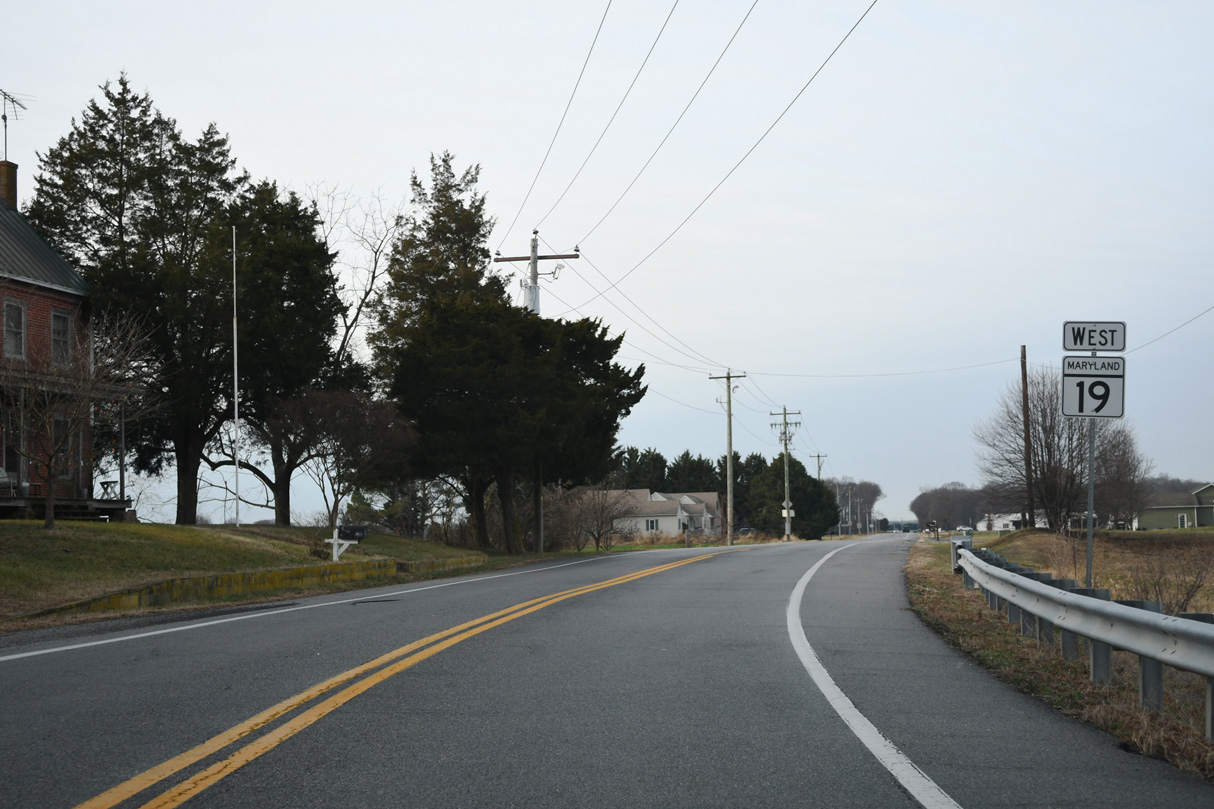
MD 19 (Roberts Station Road) crosses Beaverdam Ditch ahead of Roe Ingleside Road south at Ingleside.
12/24/24
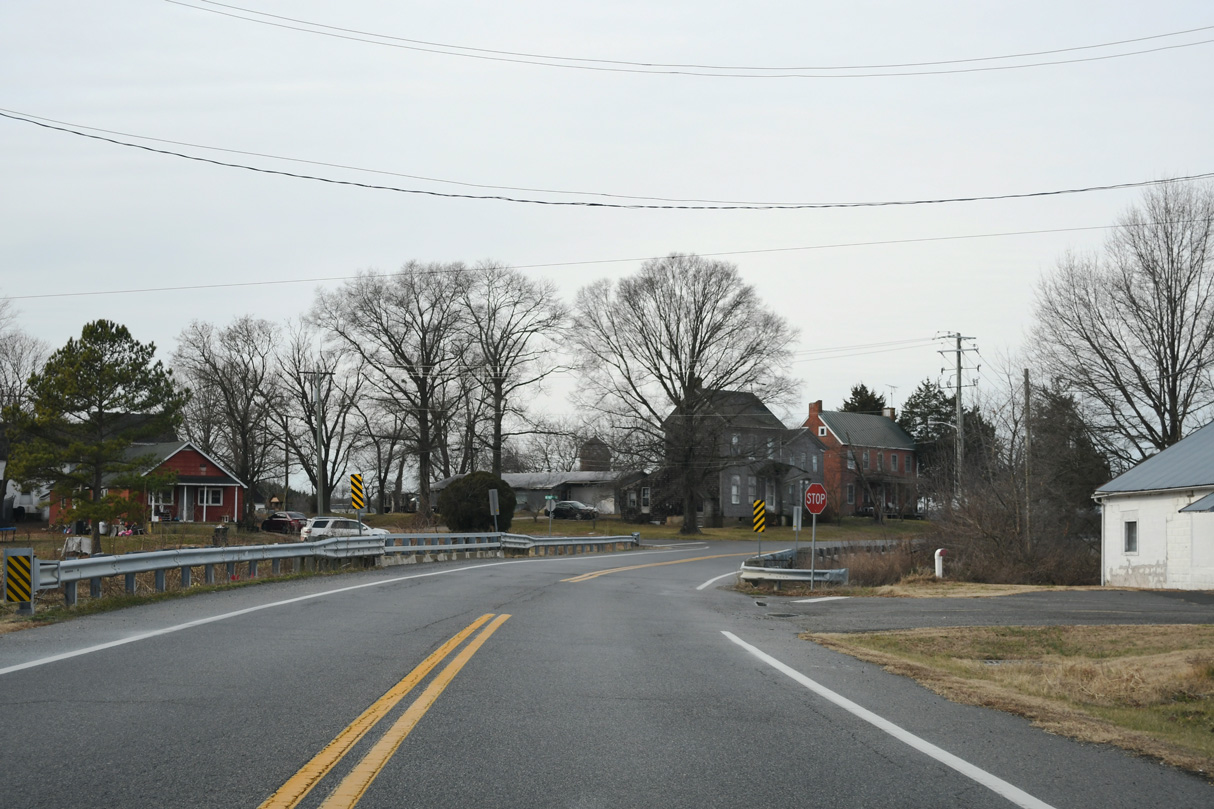
Reassurance marker posted along Roberts Station Road northwest of Roe Ingleside Road.
12/24/24
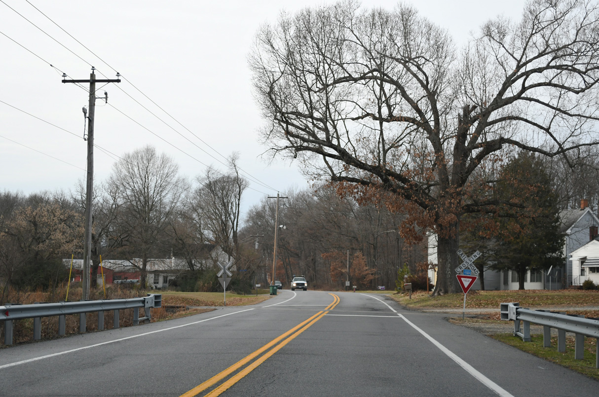
MD 19 west at the at-grade crossing with the MDOT Railroad line at Roberts.
12/24/24
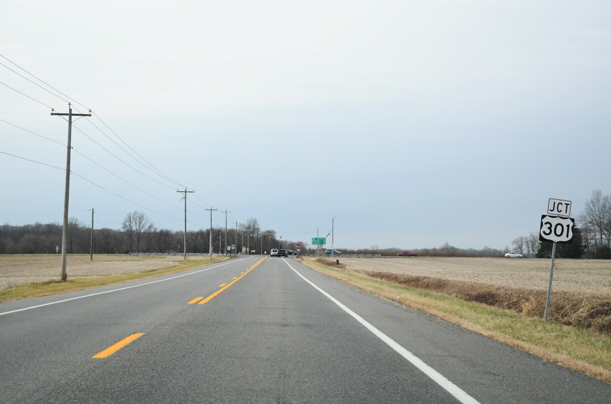
Advancing west across agricultural areas from Roberts, MD 19 (Roberts Station Road) next intersects U.S. 301.
12/24/24
U.S. 301 is a controlled access expressway joining the Eastern Shore of Maryland with U.S. 50 west to the Chesapeake Bay Bridge and the First Responders Memorial Highway toll road at Middletown, Delaware.
12/24/24
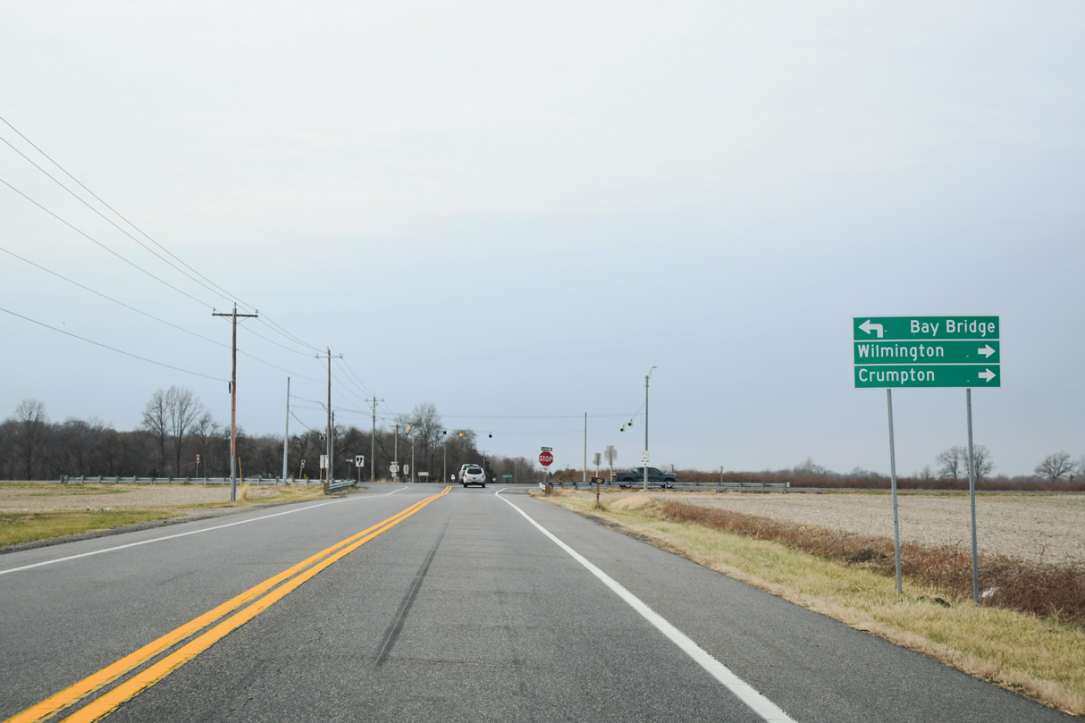
U.S. 301 travels southwest to Centreville and north past Millington and Galena.
12/24/24
Photo Credits:
- Brent Ivy: 07/27/24
- Alex Nitzman: 12/24/24
Connect with:
Page Updated Friday December 05, 2025.