
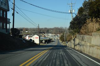
Route 213
Linking the communities of Cecilton and Chesapeake City with Elkton, Cherry Hill and Fair Hill, MD 213 is the main north-south route in Cecil County. The state route travels 68.25 miles overall from MD 662 at Wye Mills to the state line at PA 841.
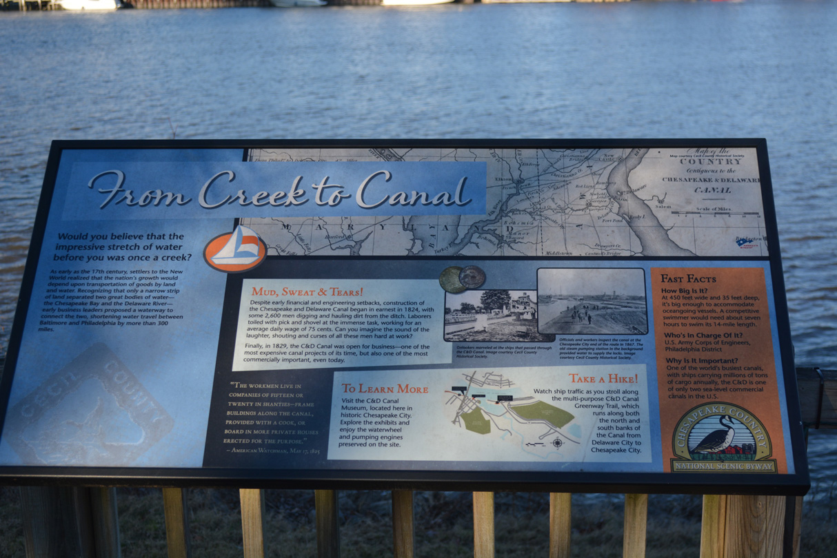
Per a historical information sign located in south Chesapeake City, Maryland, representing one of only two sea-level commercial canals in the United States, the 14 mile long C & D Canal is 450 feet wide and 35 feet deep. The first proposals for a waterway linking Chesapeake Bay and the Delaware River originated in the 17th century. Construction on the C & D Canal got underway in 1824, with around 2,600 laborers working on the project. It was completed in 1829.
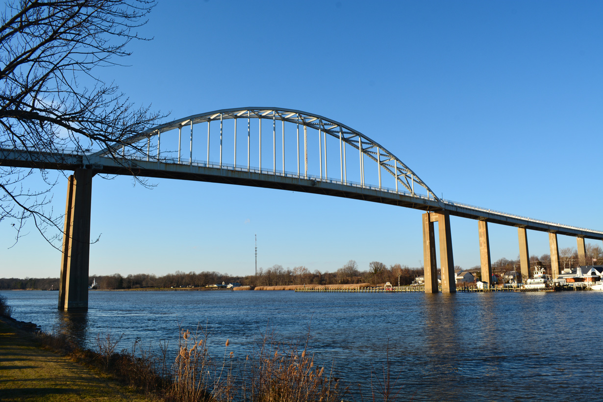
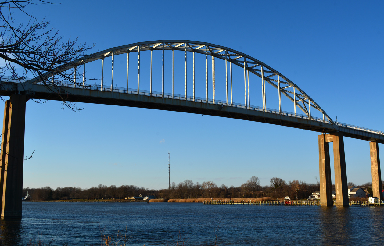
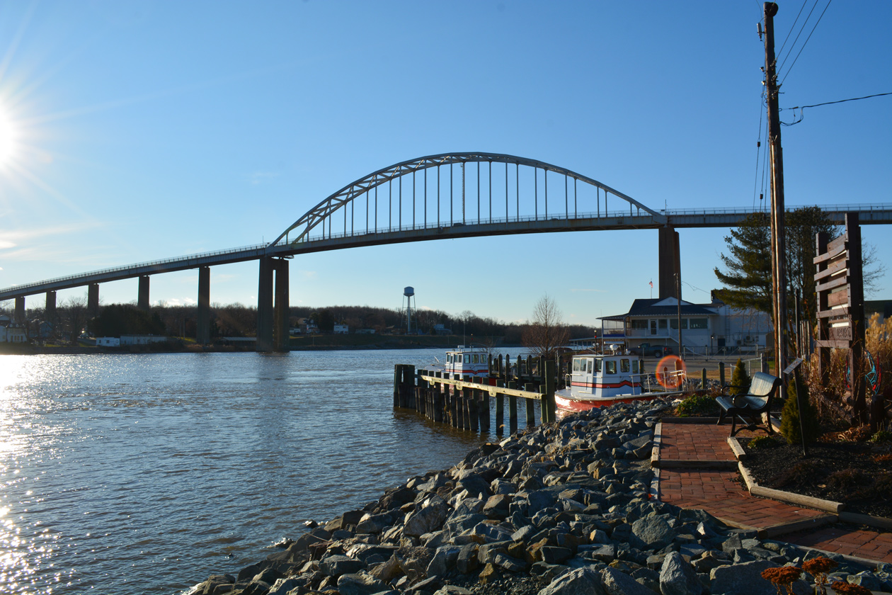
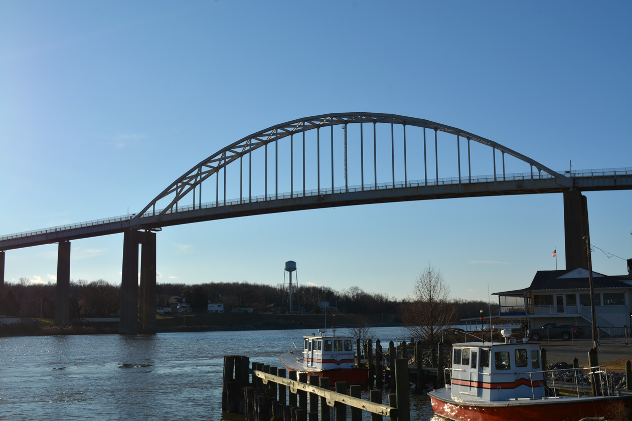
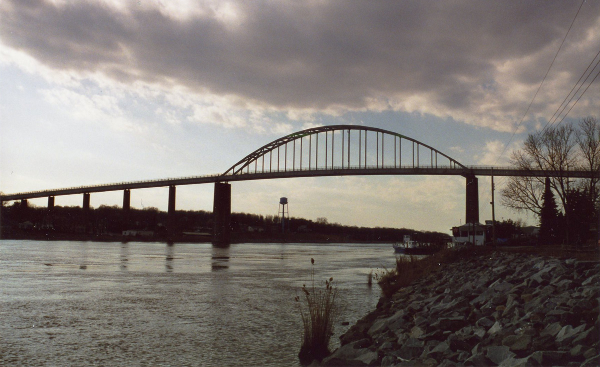
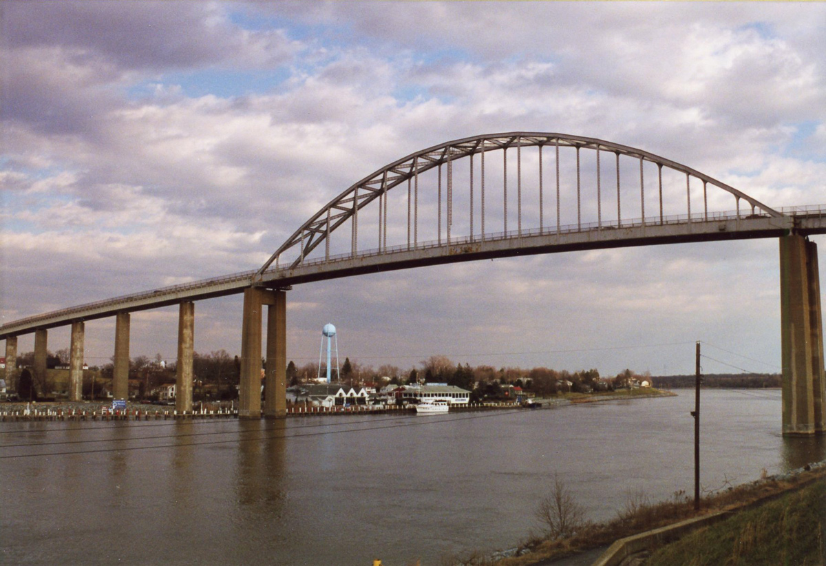
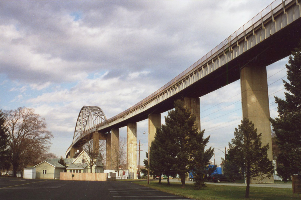
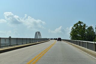
The Chesapeake City Bridge (Maryland 213) joins North and South Chesapeake City in Cecil County. The two-lane steel arch bridge opened to traffic in 1949, replacing a vertical lift bridge previously built in 1927. On July 28, 1942, the tanker Franz Klasen struck the original span, resulting in its destruction (Chesapeake City Chamber of Commerce, n.d.). Similarly a ship collision also destroyed the St. Georges vertical lift bridge (U.S. Army Corp of Engineers, n.d.).
Maryland Route 213 Guides
MD 213 between U.S. 40 and U.S. 50 is former U.S. 213. Once the main route for the entire Eastern Shore of Maryland, U.S. 213 ran south from Elkton to Chestertown, Centreville, Easton, Cambridge, Salisbury and Ocean City. Approved by the American Association of State Highway Officials (AASHO) on November 1, 1948, the extension of U.S. 50 east from Annapolis to Ocean City coincided with the truncation of U.S. 213 south of Wye Mills. U.S. 50 overtook U.S. 213 south to Cambridge and Salisbury and east to Ocean City.
The route was decommissioned following a recommendation from the Maryland State Highway Administration on September 9, 1971. The application submitted to the AASHO gave the following reason for the requested elimination:The elimination of this route is requested to conform with Policy #5 wherein U.S. routes less than three hundred (300)miles in length .... located in one State shall be eliminated ....... as rapidly as the State Highway Department and the Executive Committee of A.A.S.H.O. can reach agreement.
The AASHO U.S. Route Numbering Subcommittee approved the elimination of U.S. Route 213 on December 4, 1971. Furthermore the AASHO Executive Directory A.E. Johnson described the request as a "Good Action".
U.S. 213 never extended north of U.S. 40 at Elkton, that route was previously Maryland Route 280. MD 213 replaced MD 280 north from Bridge Street in Elkton to Fair Hill and the Pennsylvania state line by 1978. The renumbering from PA 841 southward provided route continuity with MD 213.
MD 213 - Cecil County Average Annual Daily Traffic (AADT)
- 5,240 - Kent County line to MD 282
- 6,183 - MD 282 to MD 310
- 10,318 - MD 310 to MD 286/537
- 14,090 - Chesapeake City Bridge
- 17,020 - MD 285 at U.S. 40
- 17,890 - U.S. 40 to Howard Street in Elkton
- 15,830 - Main Street in Elkton to MD 545
- 11,820 - MD 545 to MD 279
- 7,000 - MD 545 to I-95
- 8,203 - I-95 and Leeds Road
- 5,140 - Leeds Road to MD 273
- 4,320 - MD 273 to Pennsylvania line
Source: Maryland Department of Transportation (MDOT) - 2016 Traffic Volume Maps by County
 scenes
The intersection of Glebe Road and MD 213 (Augustine Herman Highway) in southern Cecil County. Glebe Road loops north from MD 282 (Crystal Beach Road) and Earleville to Hack Point and MD 213 at the Bohemia River.
08/10/04
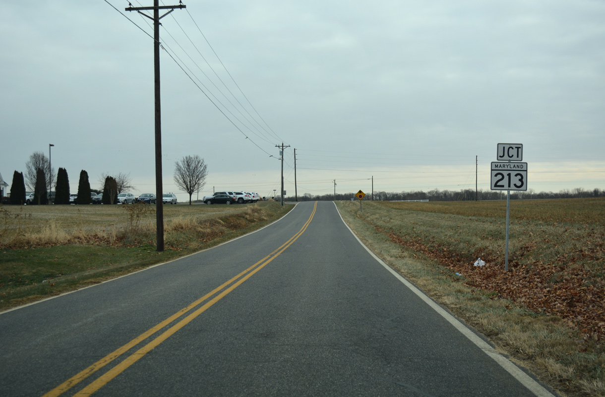
Still Pond Road (former MD 292) south at MD 213 (Augustine Herman Highway) in rural Kent County.
12/29/17
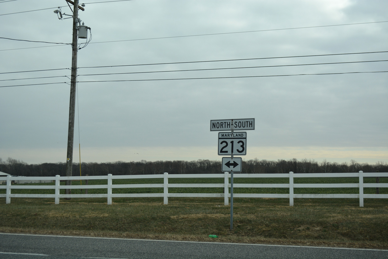
MD 213 angles northeast from Still Pond Road to Kennedyville and south by Urieville Lake to Chestertown.
12/29/17
References:
Chesapeake City Chamber of Commerce. (n.d.) About Chesapeake City. Retrieved from http://www.chesapeakecity.com/about.htm
The Chesapeake & Delaware Canal. http://www.nap.usace.army.mil/sb/c&d.htm
Photo Credits:
- Alex Nitzman: 08/10/04, 12/29/17
Connect with:
Page Updated Friday November 04, 2022.