
Route 213 North
 North
North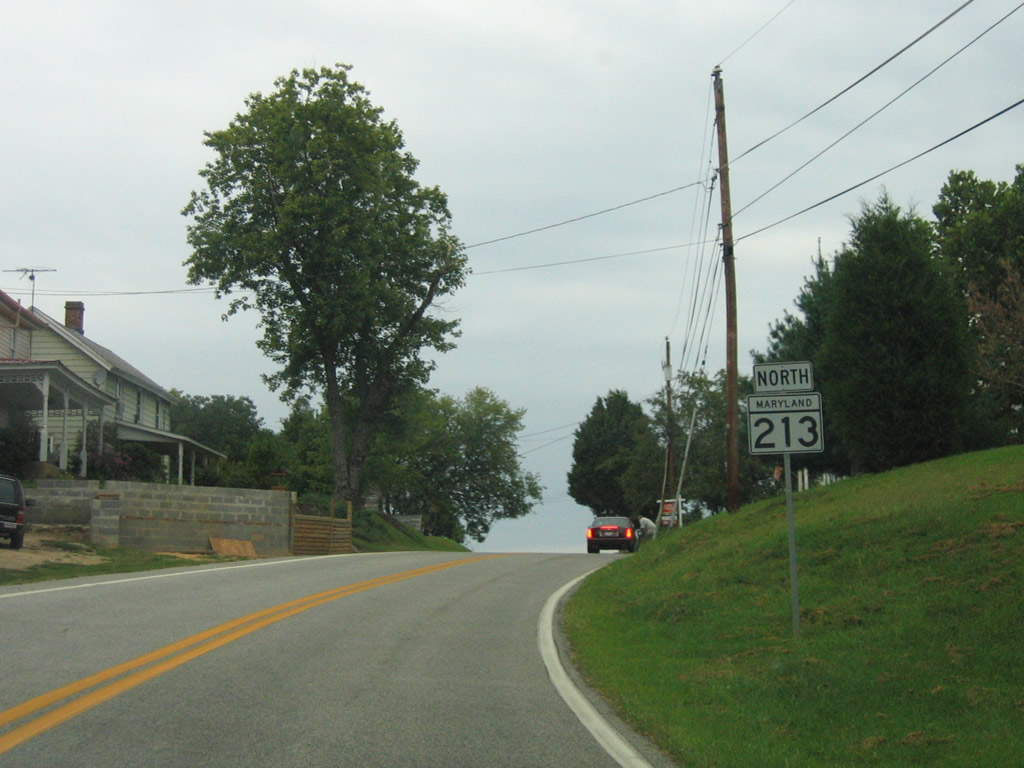
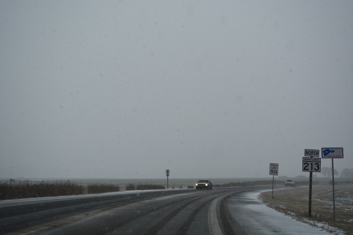
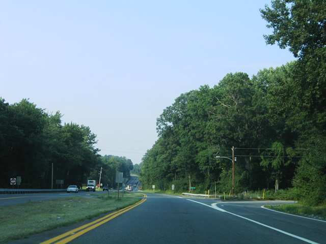
MD 213 begins at the intersection of Wye Mills Road (MD 662) and College Drive at Wye Mills. The first northbound shield is pictured here.
08/27/05
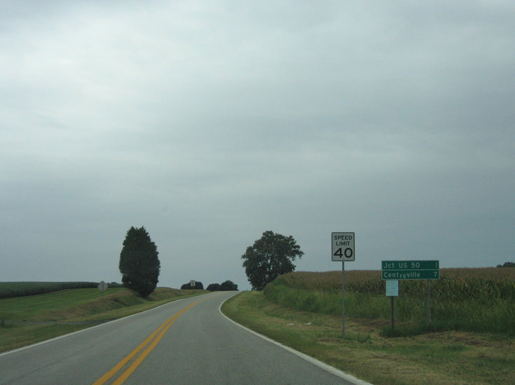
MD 213 (College Drive) leads northeast from Wye Mills to U.S. 50. The Queen Annes County seat of Centreville follows in seven miles.
08/27/05
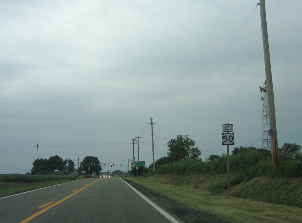
U.S. 50 (Ocean Gateway) originally followed MD 662 (Wye Mills Road) south into Wye Mills. The highway was rerouted onto a four lane bypass around 1950.
08/27/05
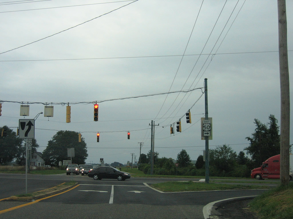
A split-phase traffic light operates at MD 213 (College Drive / Centreville Road) and U.S. 50 (Ocean Gateway). U.S. 50 leads west three miles to combine with U.S. 301 along a freeway to the Chesapeake Bay Bridge. Southward, Ocean Gateway continues 20 miles to the city of Easton.
08/27/05
Grange Hall Road intersects MD 213 (Centreville Road) just north of U.S. 50 (Ocean Gateway). Grange Hall Road arcs northeast to MD 309 at Starr.
08/27/05

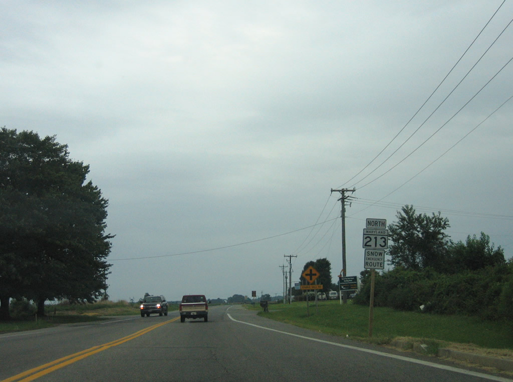
One quarter mile south of the parclo interchange with U.S. 301 (Blue Star Memorial Highway) along MD 213 (Centreville Road) north.
08/27/05
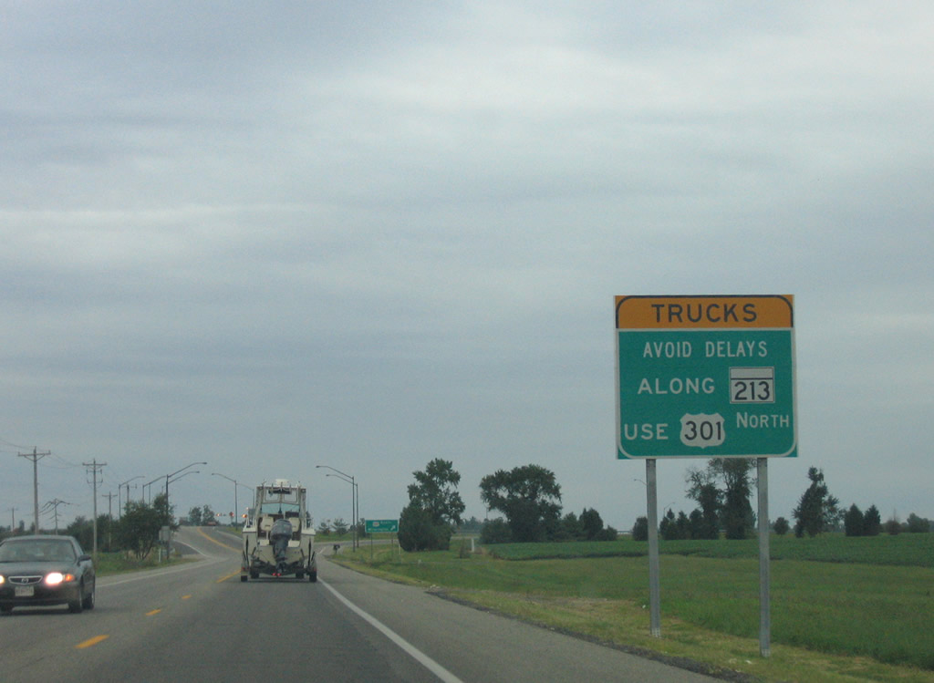
U.S. 301 travels along a four lane expressway to the Delaware state line east of MD 213. The highway is the favored route for trucking interests through Queen Annes and Kent Counties in lieu of MD 213.
08/27/05
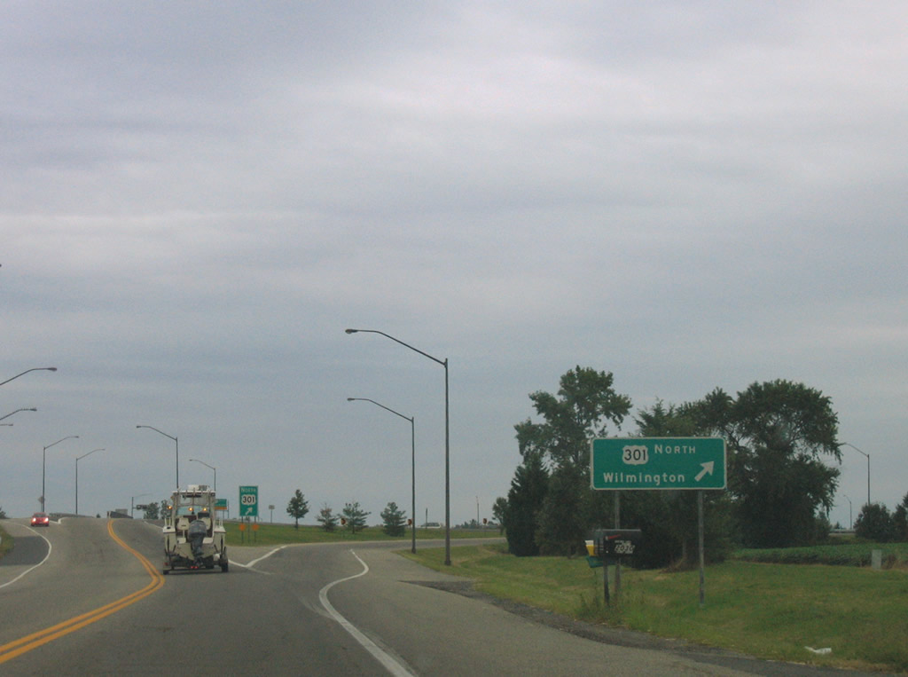
MD 213 northbound at the entrance ramp to U.S. 301 for Middletown and Wilmington, Delaware. U.S. 301 replaced MD 71 along the expressway between Queenstown and the state line.
08/27/05
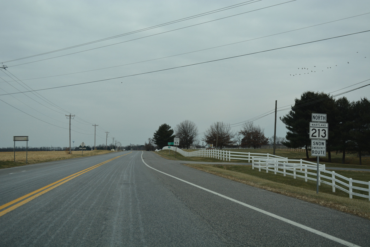
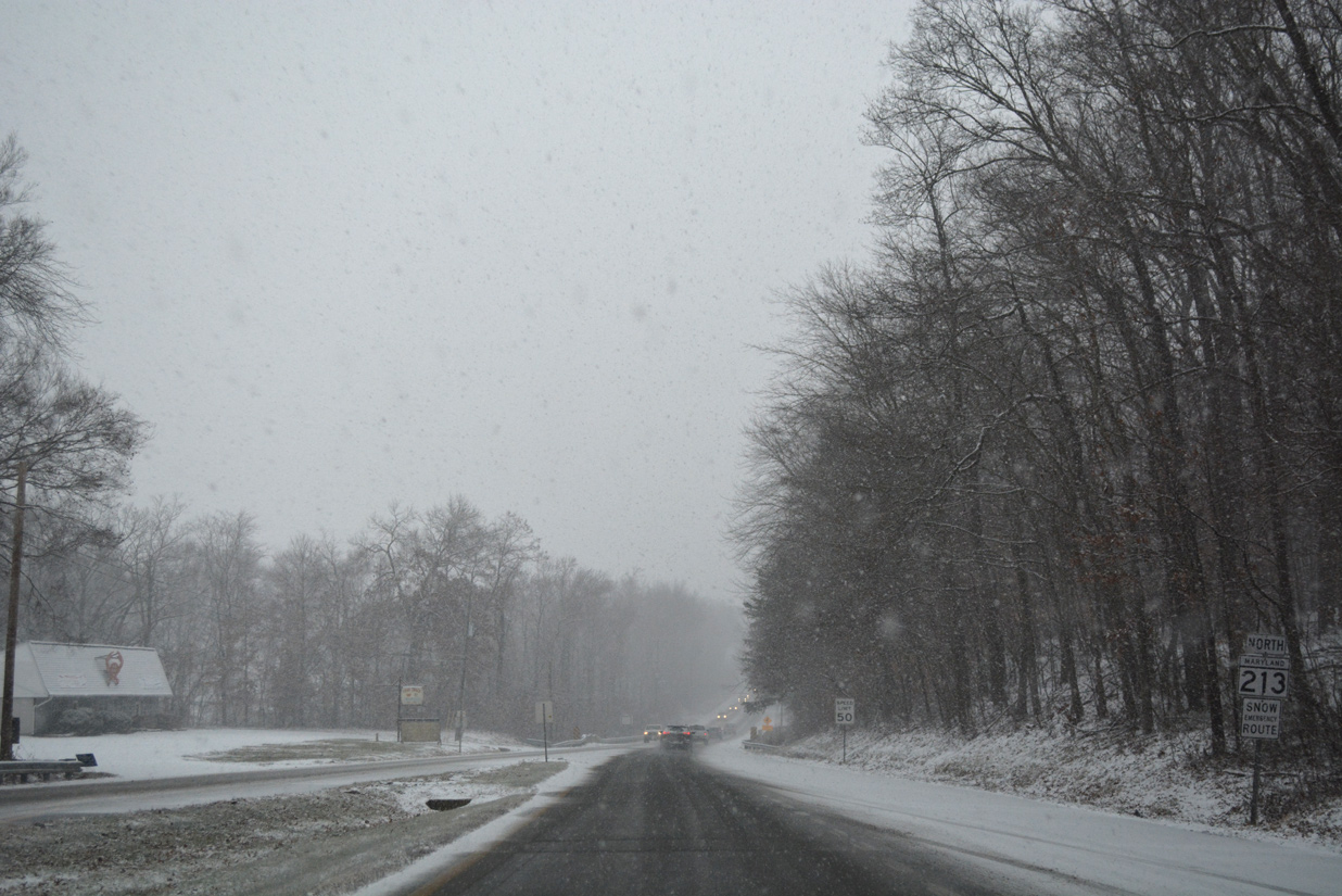
Reassurance marker posted north of Still Pond Road and Urieville Lake in Kent County. Still Pond Road was formerly a part of MD 292 south of MD 298. MD 292 remains along Still Pond Road northward to the town of Betterton.
12/29/17
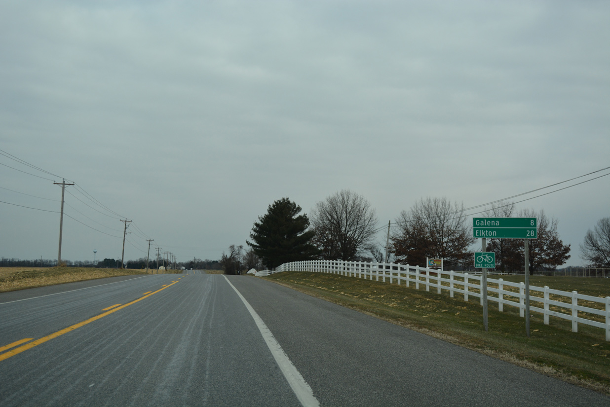
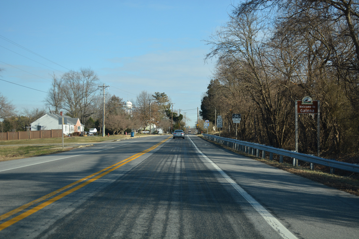
MD 213 (Augustine Herman Highway) continues eight miles northeast from Still Pond Road (old MD 292) to the town of Galena.
12/29/17
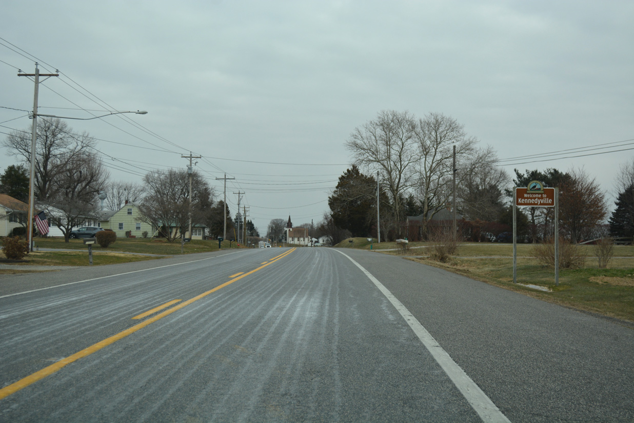
Motorists along MD 213 northbound next enter the unincorporated community of Kennedyville.
12/29/17
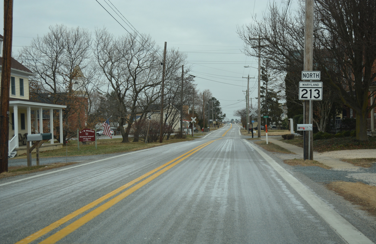
Kennedyville Road (former MD 448 / MD 885) intersects MD 213 ahead of this reassurance marker in Kennedyville.
12/29/17

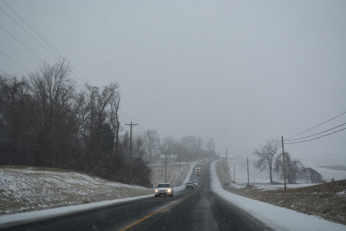
A wide swath of farmland opens to the northeast of Kennedyville along MD 213 (Augustine Herman Highway).
12/29/17
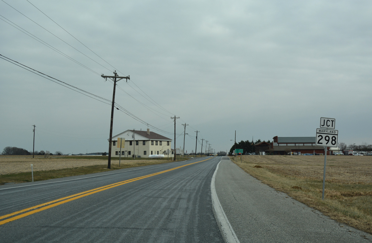
MD 298 (Lambs Meadow Road) converges with MD 213 east from Butlertown and Still Pond at the ensuing intersection.
12/29/17
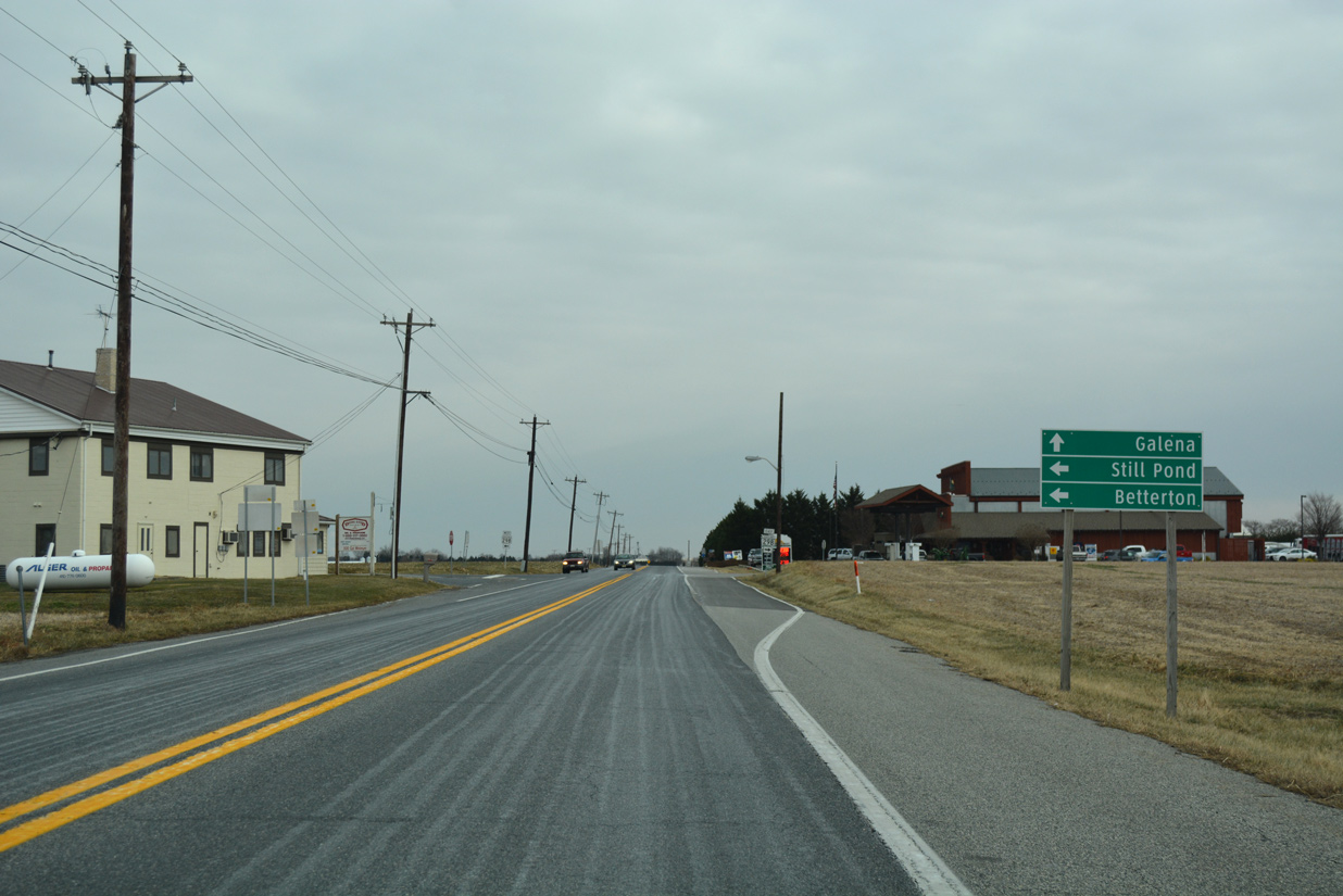
MD 298 (Lambs Meadow Road) west to MD 566 and 292 (Still Pond Road) leads drivers north to Betterton. Betterton lies along the south banks of the Sassasfras River off Chesapeake Bay.
12/29/17
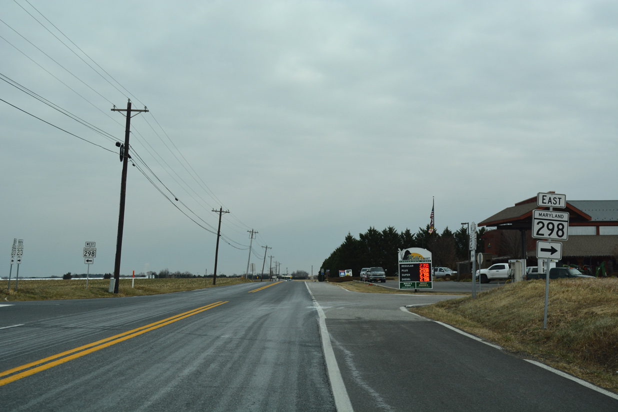
A 12.31 mile long route, MD 298 overall arcs eastward from MD 20 (Rock Hall Road) near Fairlee to MD 291 (River Road) south of Chesterville.
12/29/17
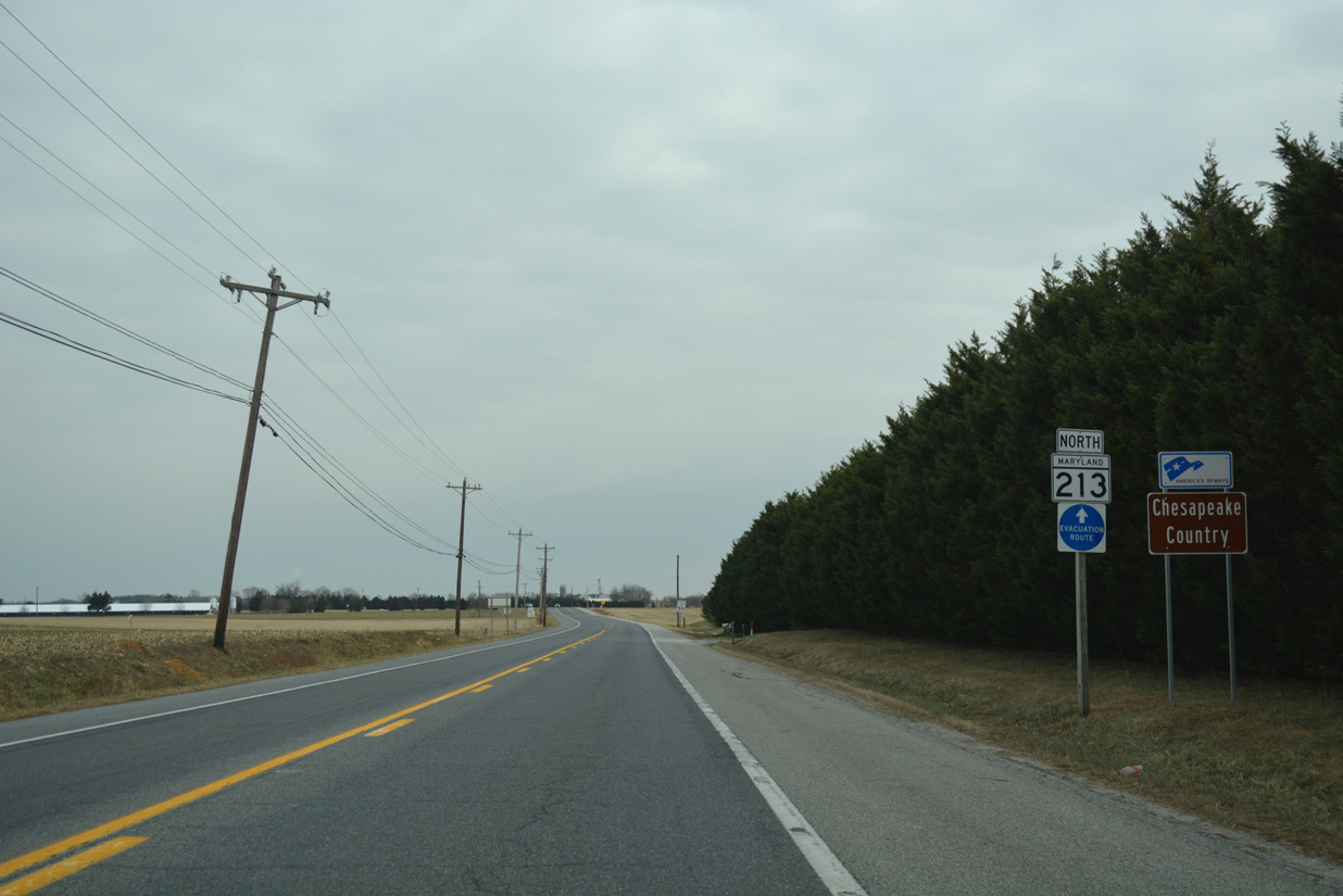
Advancing east from MD 298, MD 213 continues as part of the Chesapeake Country Scenic Byway, an 85.5 mile network of state routes on Maryland's Eastern Shore.
12/29/17
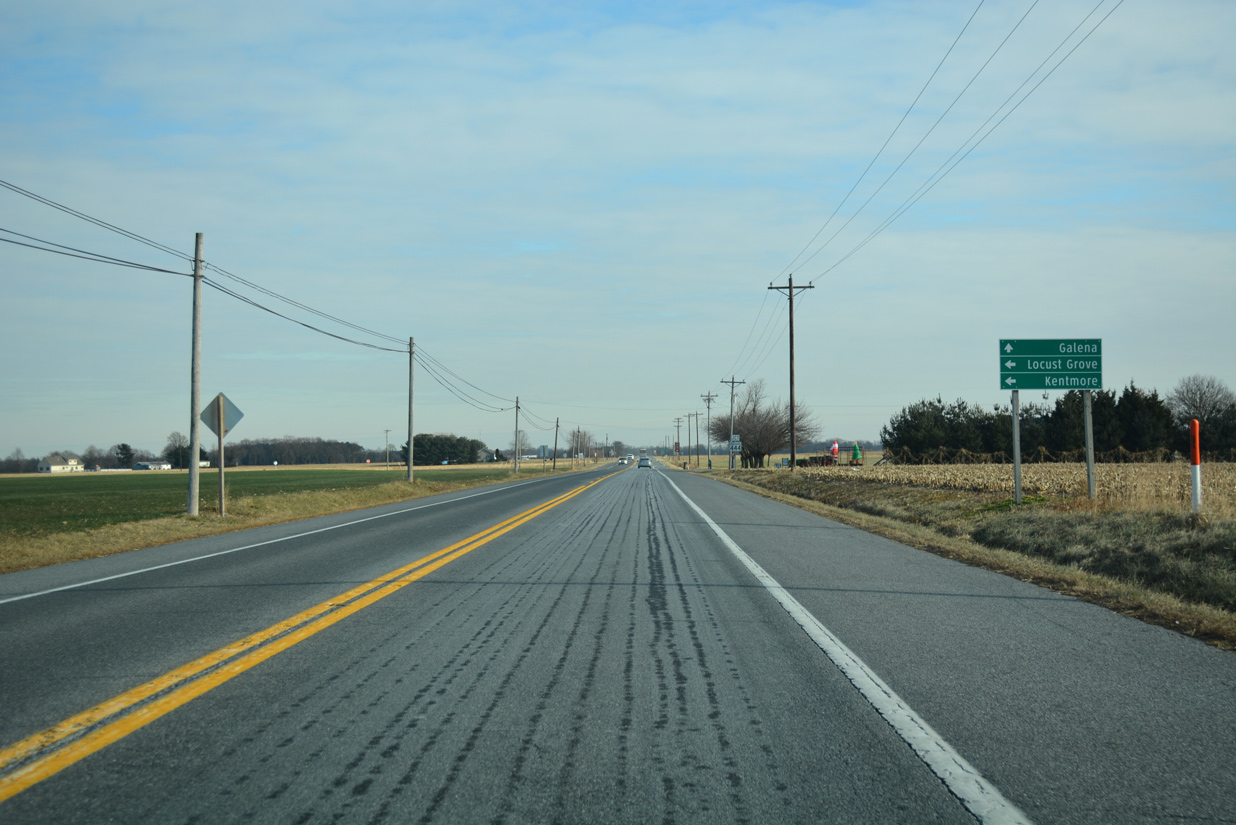
Turning more toward the east, MD 213 approaches Shallcross Wharf Road (unsigned MD 449) and MD 444 (Kentmore Park Road) north to Kentmore Park.
12/29/17
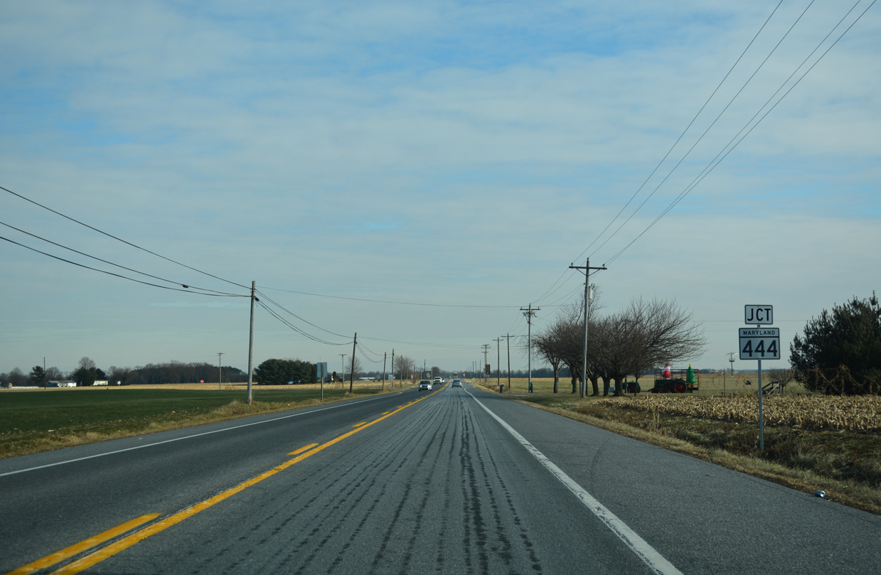
MD 444 comprises a 7.29 mile long route from MD 290 at Chesterville to Belchester Road along the Sassafras River.
12/29/17
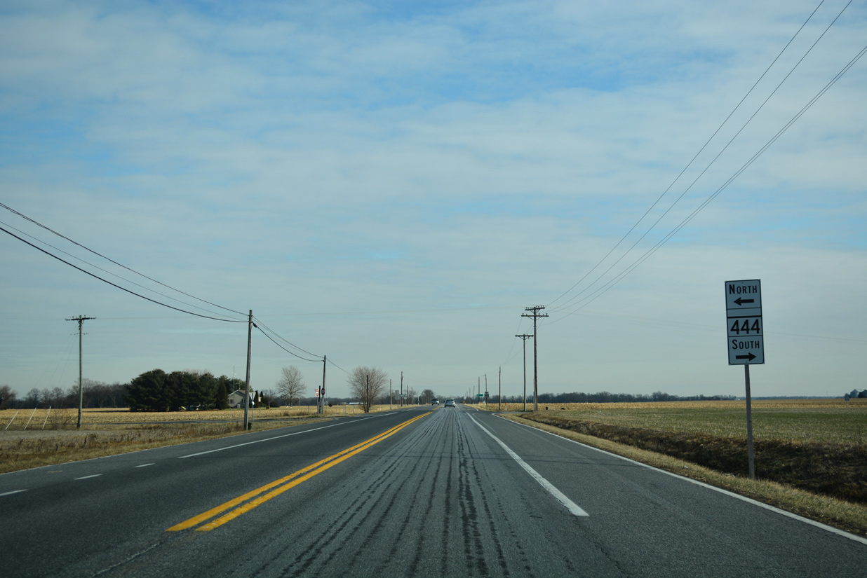
Kentmore Park Road leads MD 444 northward along Shrewsbury Neck. The settlement of Locust Grove lies just to the northeast along Shallcross Wharf Road (old MD 444).
12/29/17
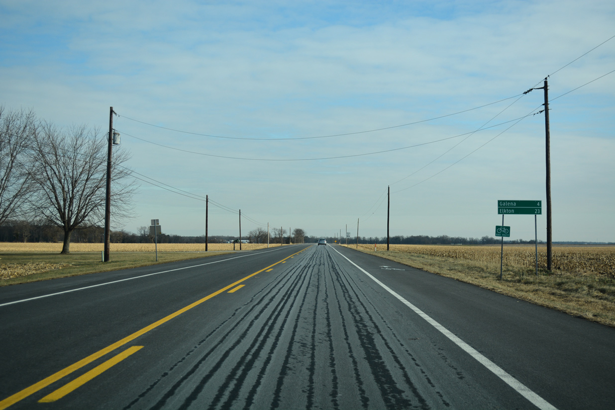
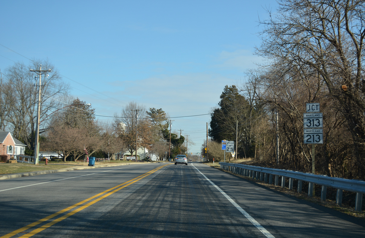
MD 213 makes a sweeping S-curve eastward from Locust Grove on the four mile drive to Galena.
12/29/17

Traversing a wooded valley, MD 213 lowers to cross Woodland Creek by Daves Hill.
12/29/17
Progressing east from Dyer Creek, MD 213 enters Galena along Cross Street.
12/29/17
MD 313 north and MD 290 west converge with MD 213 at Cross and Main Streets in the Galena business district. MD 290 extends Cross Street east to Galena Sassafras Road and U.S. 301.
12/29/17
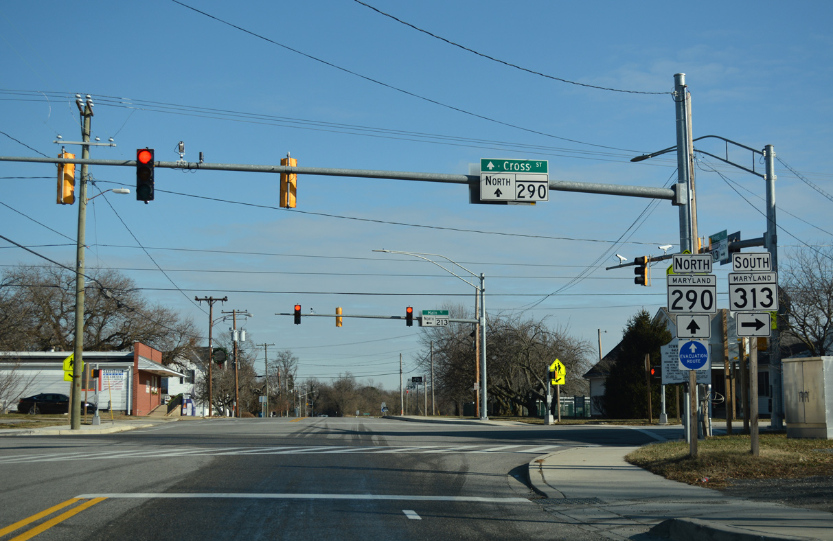
MD 290 & 313 overlap southward along South Main Street for 0.72 miles to Chesterville Road. MD 290 branches southwest from there to Chesterville while MD 313 angles southeast to Massey.
12/29/17
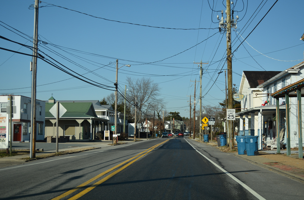
MD 213 turns northward along North Main Street in Galena. Missing along this stretch is a confirming marker.
12/29/17
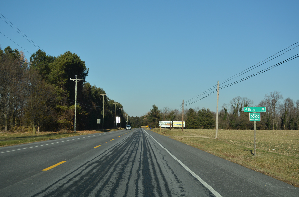
Leaving Galena, MD 213 (Augustine Herman Highway) travels 19 miles to the Cecil County seat of Elkton.
12/29/17
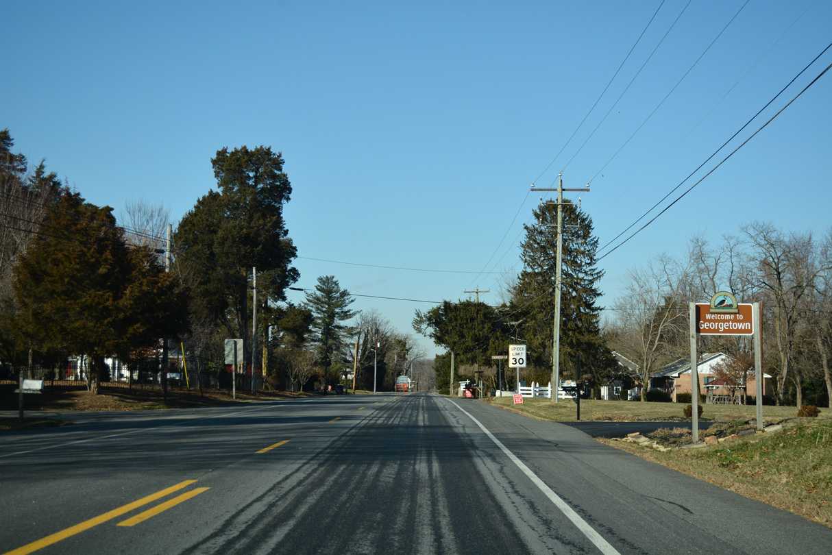
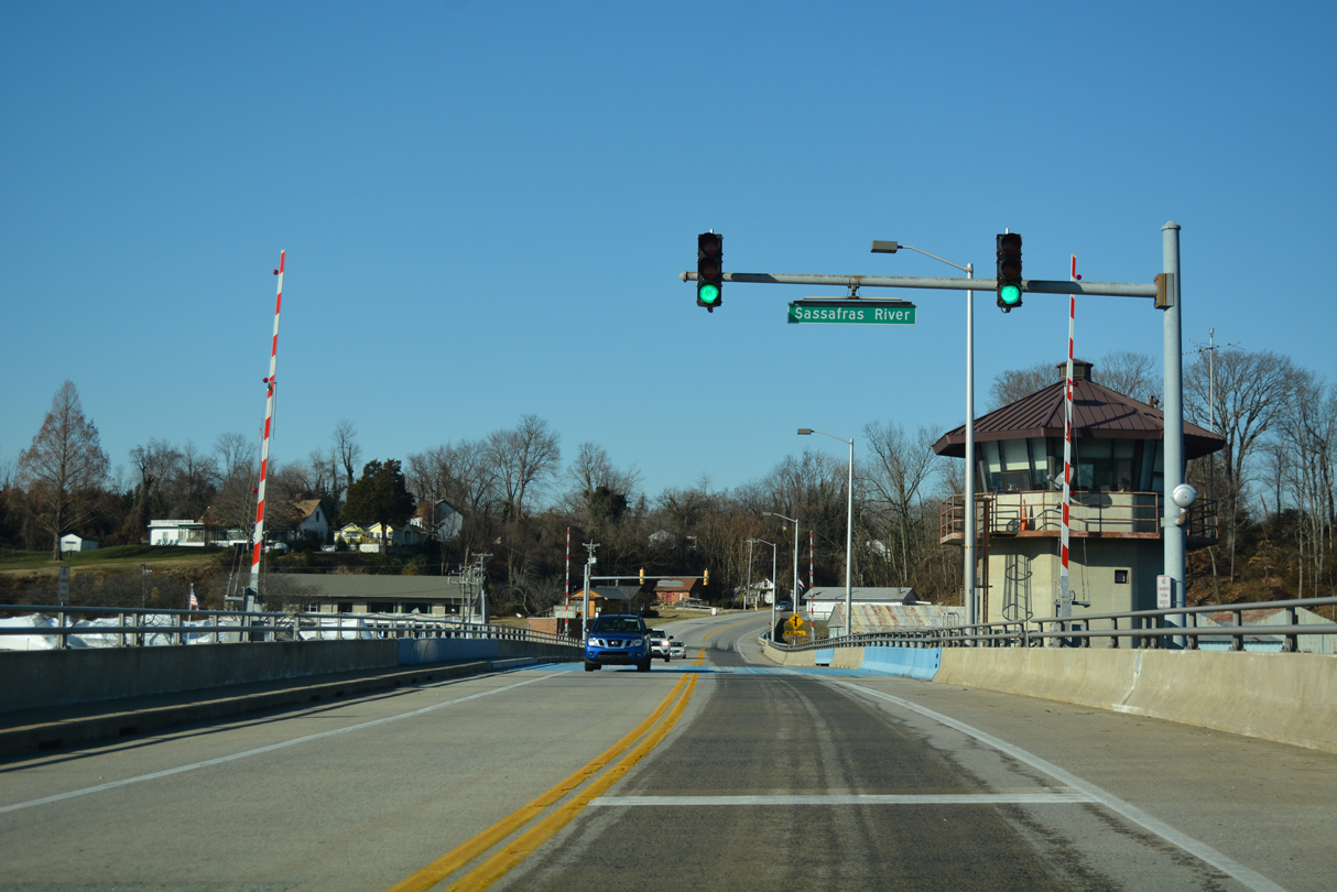
Running just west of Mill Creek, MD 213 north reaches the riverside community of Georgetown.
12/29/17
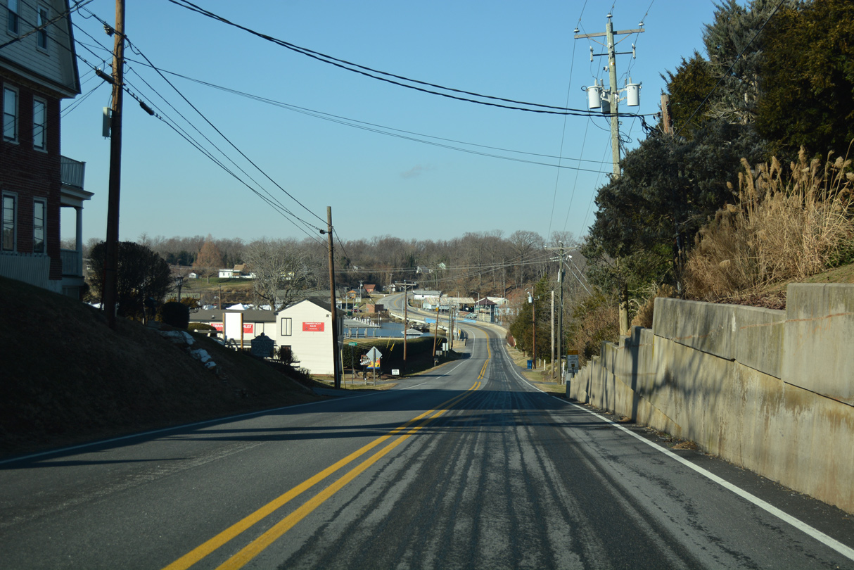
MD 213 drops from 66 to seven feet above sea level through Georgetown.
12/29/17
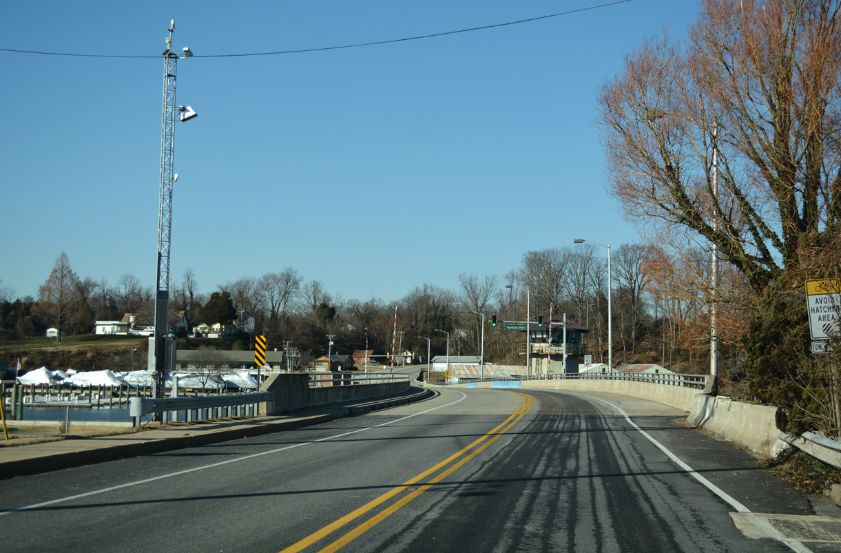
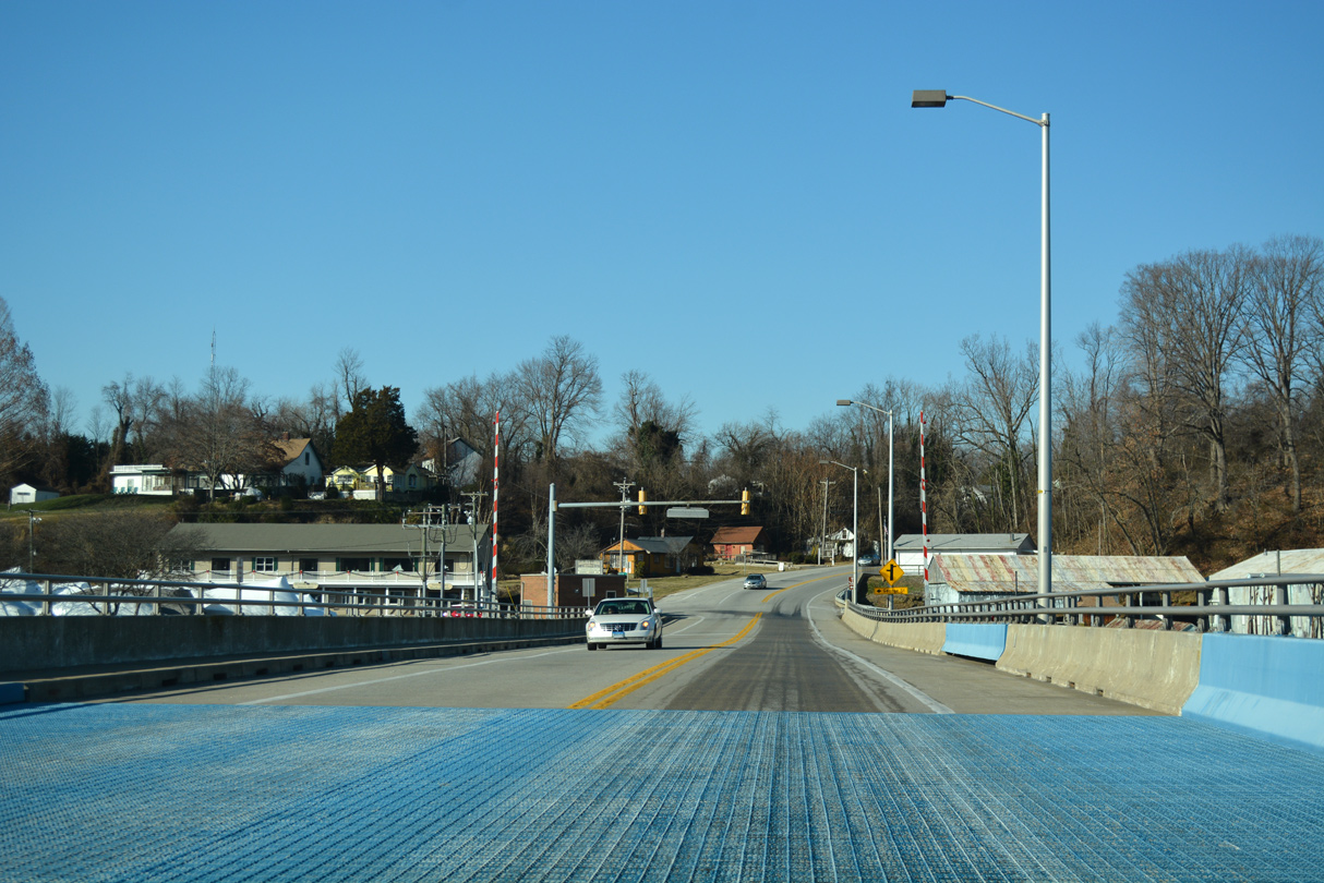
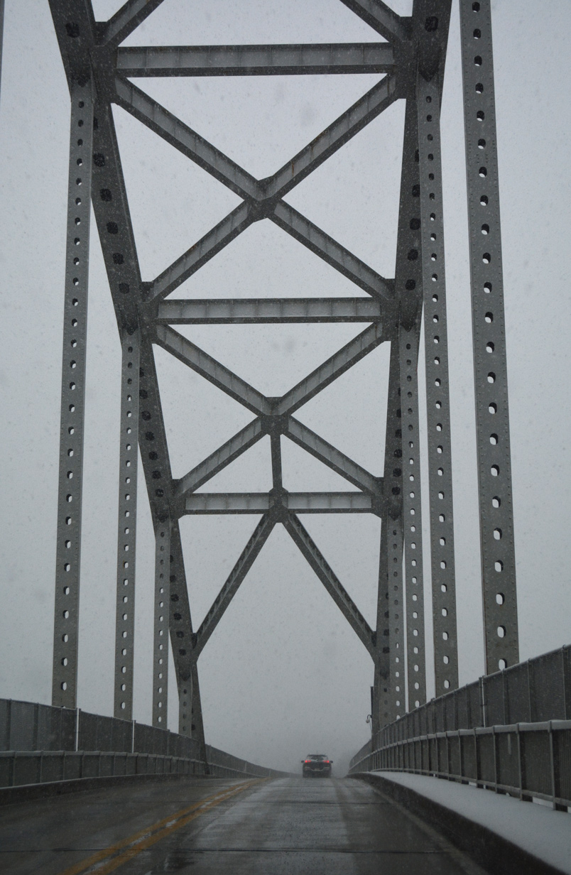
A bascule bridge carries MD 213 across the Sassafras River. Built in 1985, the 751 foot long span travels just 6.9 feet above the waterway.1
12/29/17
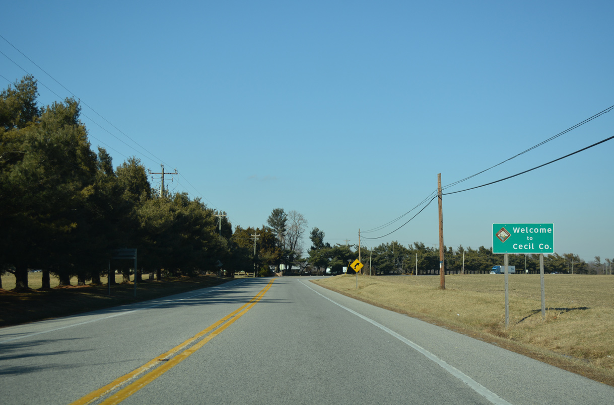
The 17.87 mile route of MD 213 through Kent County concludes midway across the Sassafras River as the state route enters Cecil County.
12/29/17
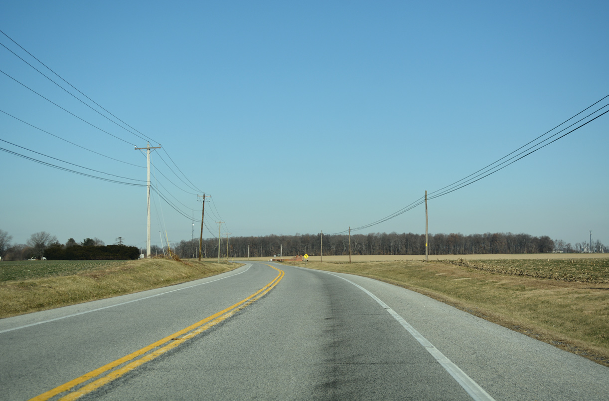
Climbing back to around 60 feet above sea level, MD 213 leaves Fredericktown across open farm land.
12/29/17
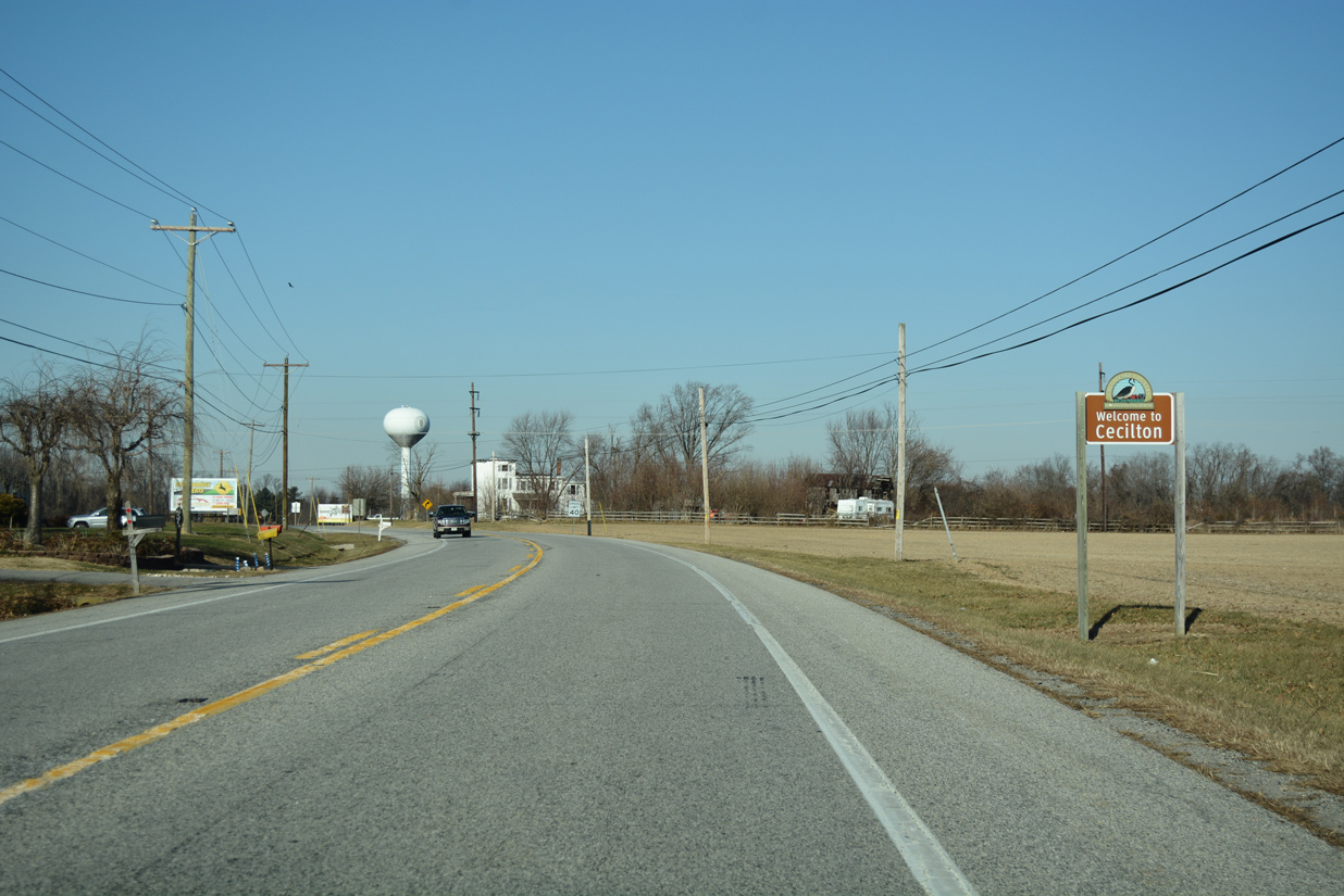
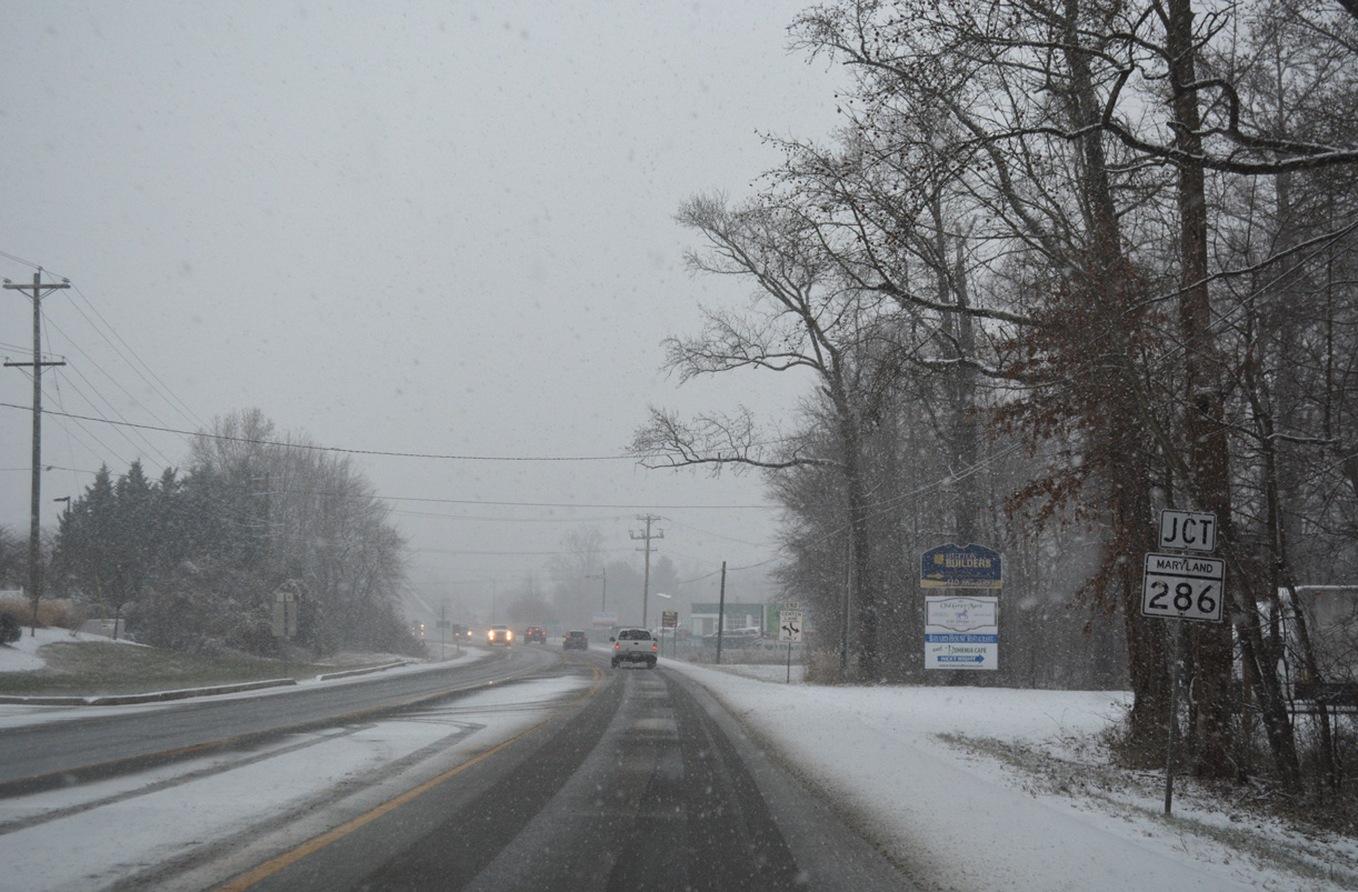
MD 213 next reaches the rural town of Cecilton along Bohemia Avenue.
12/29/17
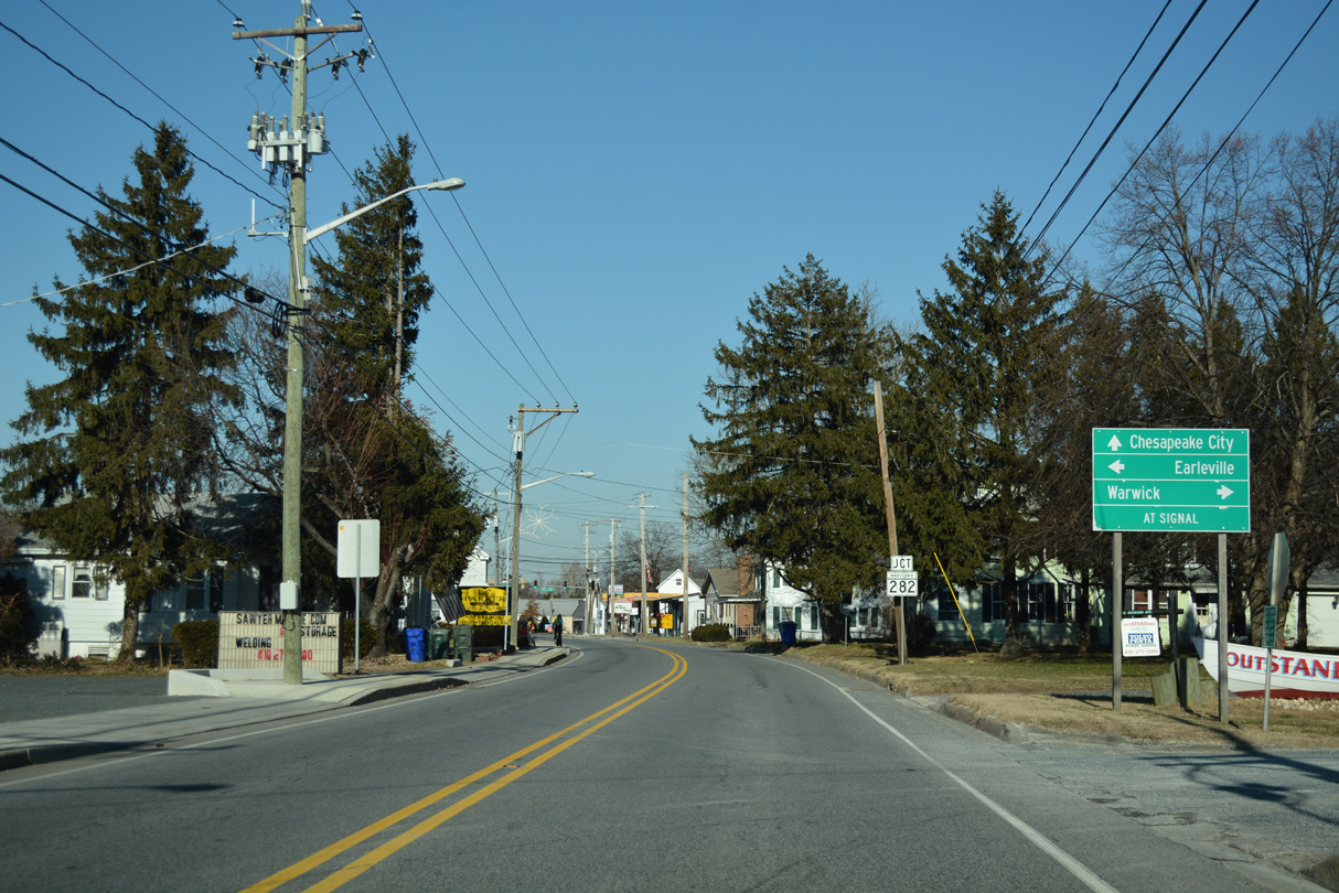
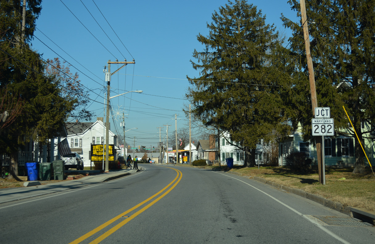
Forthcoming Main Street leads MD 282 across Cecilton between the unincorporated communities of Earleville and Warwick.
12/29/17
Extending northwest across Sassafras and Pearce Necks, MD 282 constitutes a 12.43 mile long route to White Crystal Beach Road outside the community of Crystal Beach.
12/29/17
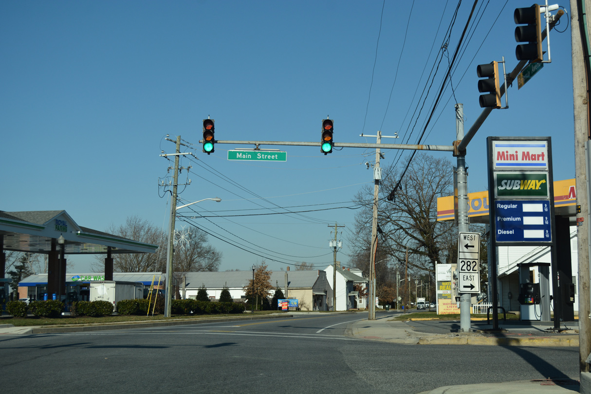
Cecilton Warwick Road leads MD 282 east toward Main Street through Warwick and the state line at SR 299 near Middletown.
12/29/17
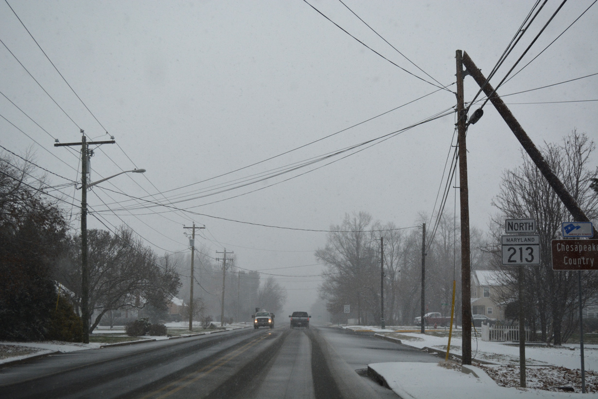
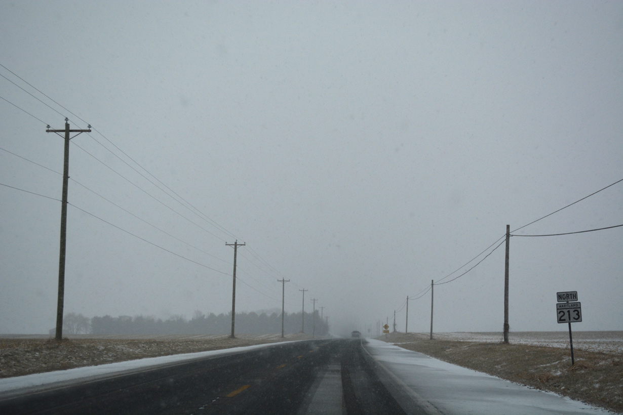
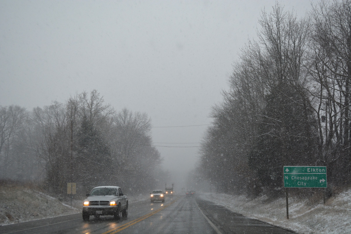
The Chesapeake Country Scenic Byway overlays MD 213 (Augustine Herman Highway) nine miles northward from Cecilton to Chesapeake City.
12/15/17
Maryland reassurance marker posted after Mill Lane west to Earlville Wildlife Management Area.
12/15/17
Continuing north from Sassafras Neck, MD 213 (Augustine Herman Highway) plies across farmland to the Bohemia River west of Free School Point.
12/15/17
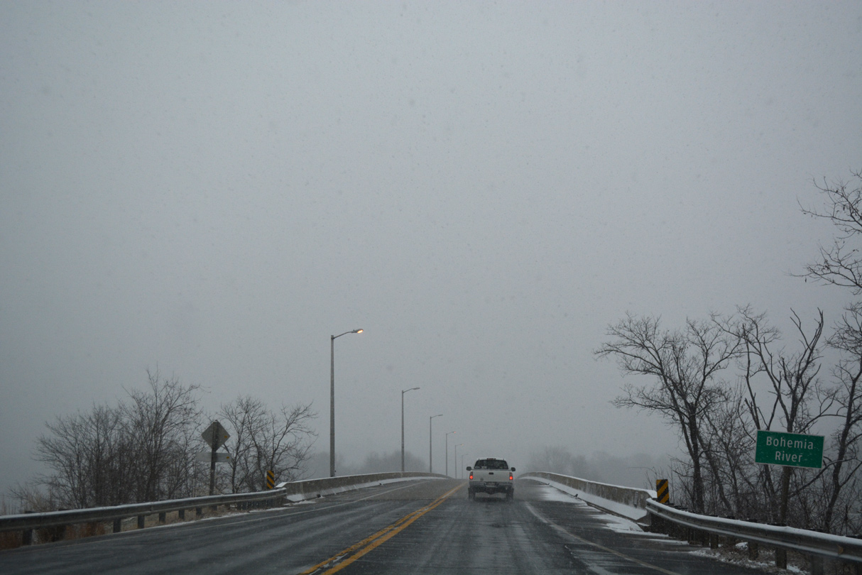
MD 213 crosses the Bohemia River east of the Hack Point community. Built in 1988, the 1,188 foot long bridge spans the waterway at a height of 29.9 feet.2
12/15/17
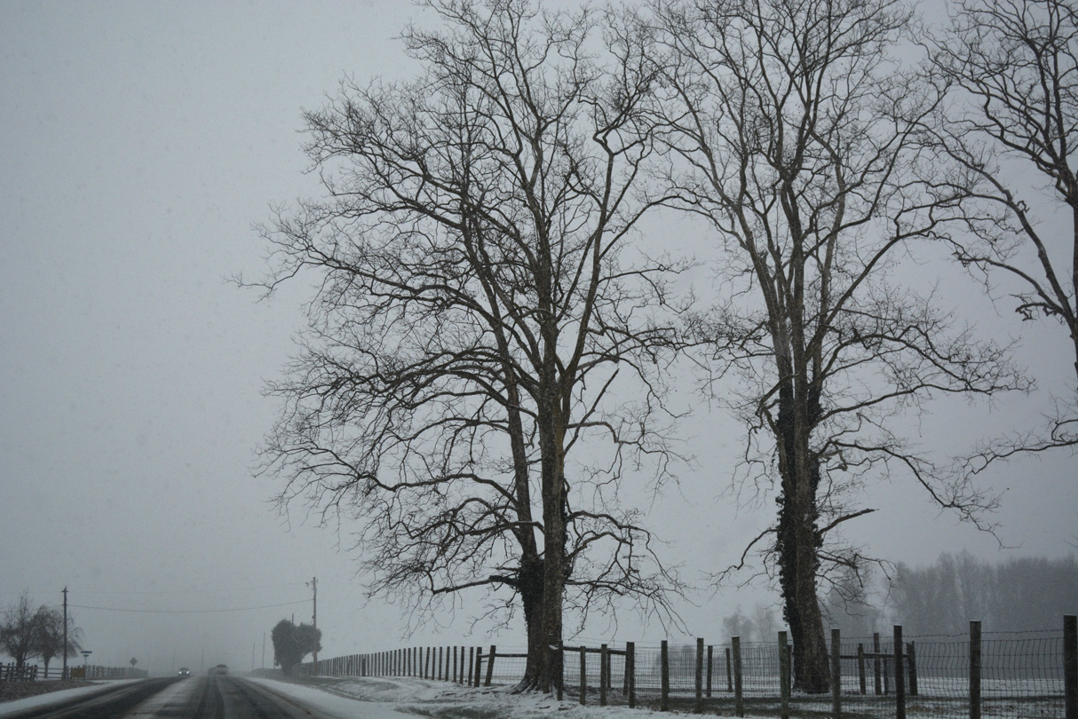
Shifting northeast from the Bohemia River, MD 213 rises along a hill across farmland between Manor and Burkalaw Creeks.
12/15/17
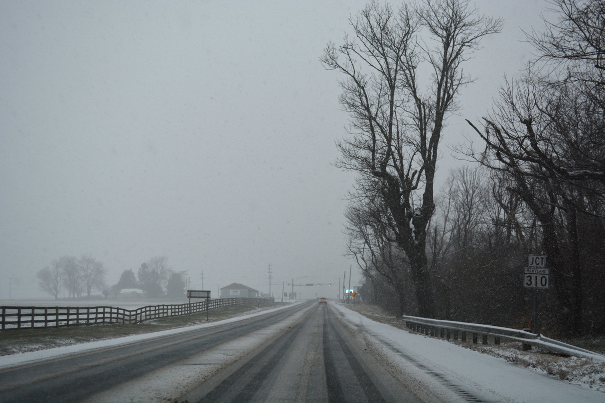
MD 213 (Augustine Herman Highway) heads northward to the crossroads with MD 310 (Cayots Corner Road) east and Town Point Road west at Cayots.
12/15/17
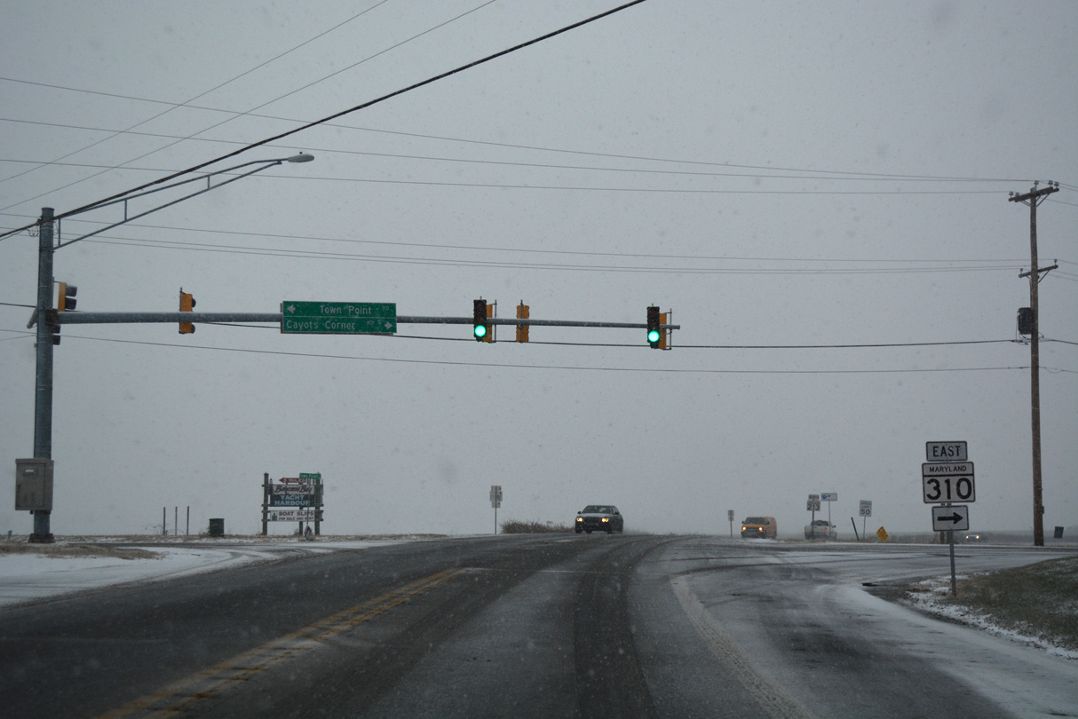
MD 310 (Cayots Corner Road) travels 2.16 miles east to MD 342 (St. Augustine Road) and Mittin Road at St. Augustine. Town Point Road extends 4.2 miles west to the Chesapeake Bay near Town Point and Two Rivers.
12/15/17
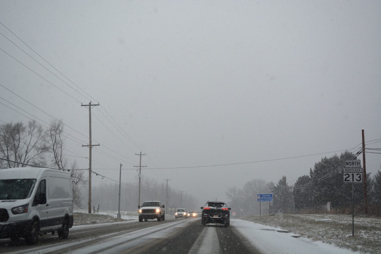
Continuing northbound on MD 213 between Cayots and South Chesapeake City. Speed limits increase to 55 miles per hour on the 3.12 mile drive to George Street and MD 286.
12/15/17
Advancing northeast, MD 213 (Augustine Herman Highway) enters the town of Chesapeake City at MD 286 (George Street).
12/15/17
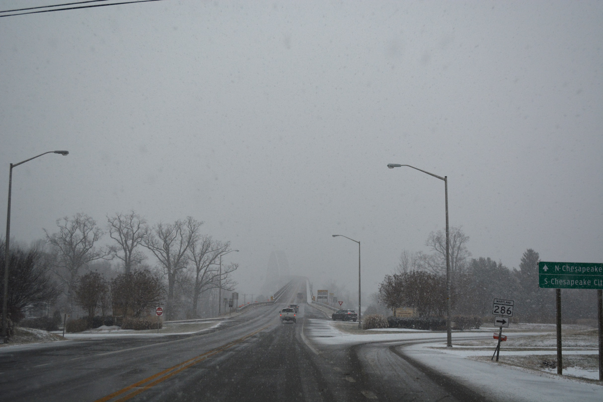
A folded diamond interchange connects MD 213 with Basil Avenue (unsigned MD 537) to the west, North Street east to MD 342 (St. Augustine Road) south and George Street (MD 286) at the foot of the Chesapeake City Bridge.
12/15/17
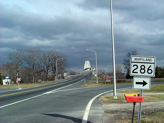
MD 286 branches northeast along George Street to 2nd Street through South Chesapeake City. The multi state route heads 2.09 miles east from George Street to SR 286 ahead of Summit Bridge.
12/21/01
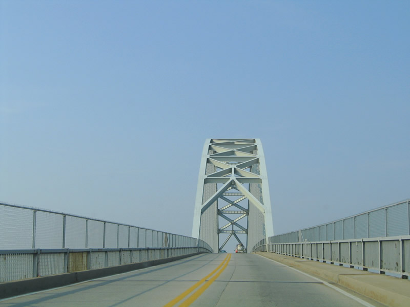
The Chesapeake City Bridge is a steel through arch span connecting South and North Chesapeake City across the Chesapeake and Delaware Canal. Accommodating just two lanes, the 3,955.2 foot long bridge has a 29.9 foot wide deck.3
12/15/17
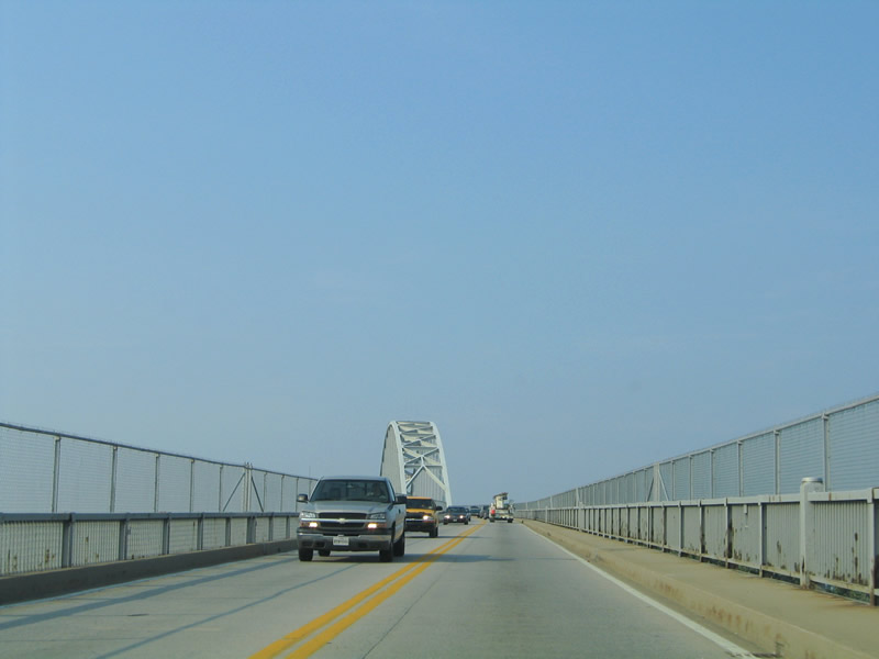
Opened in 1949, the Chesapeake City Bridge replaced a vertical lift bridge constructed in 1924. The previous crossing was destroyed on July 28, 1942 by a tanker collision with the "Franz Klasen".4
08/10/04
12/15/17
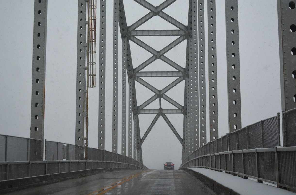
The Chesapeake City Bridge crests at 134.5 feet above the Chesapeake & Delaware Canal. The arch bridge was rehabilitated in 1978.3
12/15/17
08/10/04
MD 213 (Augustine Herman Highway) touches back down ahead of MD 285 at North Chesapeake City. MD 213 is named after the 17th century Dutch surveyor and map maker Augustine Herrman.
12/15/17
MD 285 winds southward from MD 213 along Lock Street into North Chesapeake City. The state route turns east along Biddle Street toward New Castle County, Delaware.
12/15/17
MD 285 is unmarked at the MD 213 northbound turn off for the North Chesapeake City. The urban collector splits with MD 284 (Hemphill Street) in 0.29 miles. Traveling east along the C & D Canal to the Delaware state line, overall MD 285 measures 2.43 miles.
08/10/04
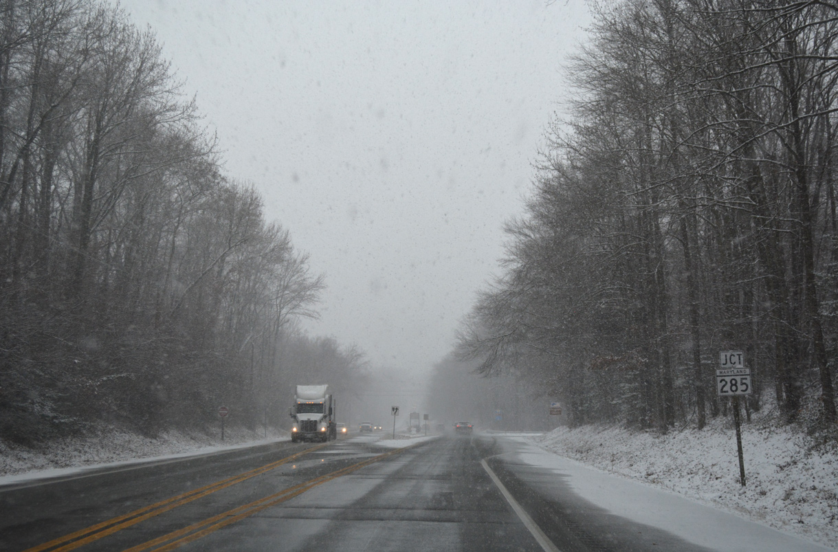
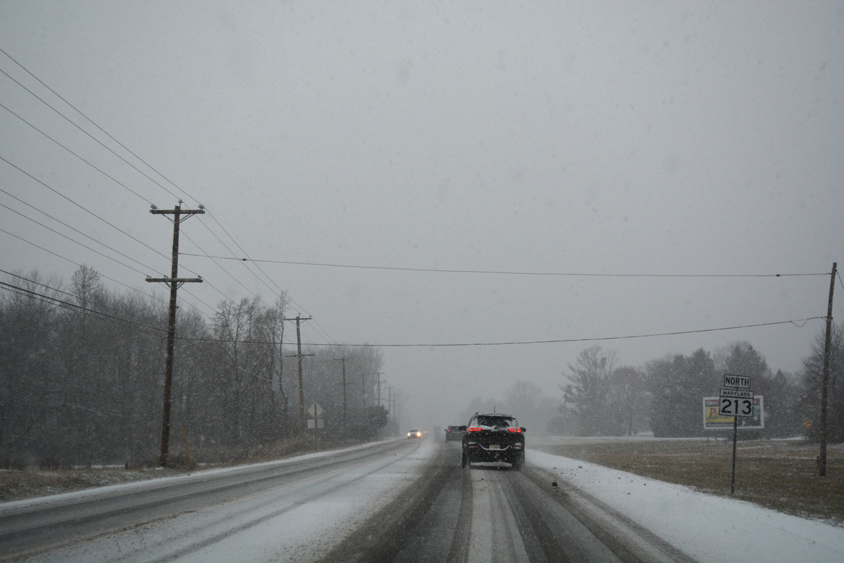
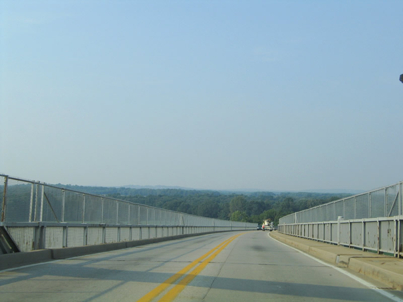
Leaving North Chesapeake City, MD 213 (Augustine Herman Highway) maintains a 55 mph speed limit into the greater Elkton area.
12/15/17
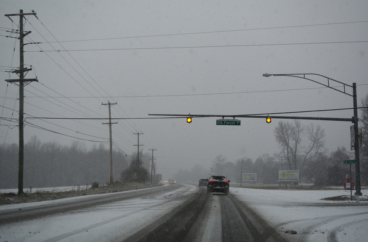
Elk Forest Road, a historic alignment of U.S. 213 south to Spears Hill Road, intersects MD 213 at a set of flashers west of the Brantwood subdivision.
12/15/17
Reassurance marker posted north of Elk Forest Road. Adjacent Knights Corner Road to the Brantwood development represents another segment of old U.S. 213.
12/15/17
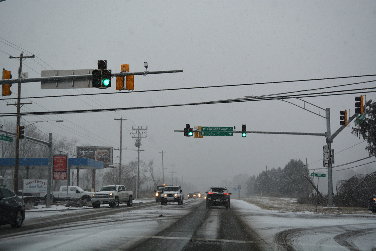
Locust Point Road east and Williams Road west come together at a signalized intersection with MD 213. Williams Road heads east to become Old County Road at the Delaware state line to Glasgow.
12/15/17
MD 213 runs along the west side of the former Brantwood Golf Course at Williams Road. The golf course closed in 2014. It was subsequently purchased by Cecil County with Program Open Space funds in October 2017 for reuse as a 121 acre county park.5
12/15/17
Frenchtown Road branches southwest from U.S. 40 (Pulaski Highway) at Glasgow, Delaware to rural areas south of Elkton. A $2.6 million project started in July 2017 widened MD 213 at Frenchtown Road with turn lanes and bike lanes. Additionally the Park-N-Ride located at the southeast corner with Frenchtown Road was relocated a third of a mile northward.6
12/15/17

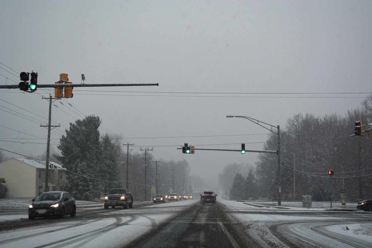
Continuing into the town of Elkton, MD 213 (Augustine Herman Highway) passes between portions of the Holly Hall Terrace neighborhood to U.S. 40 (Pulaski Highway).
12/15/17
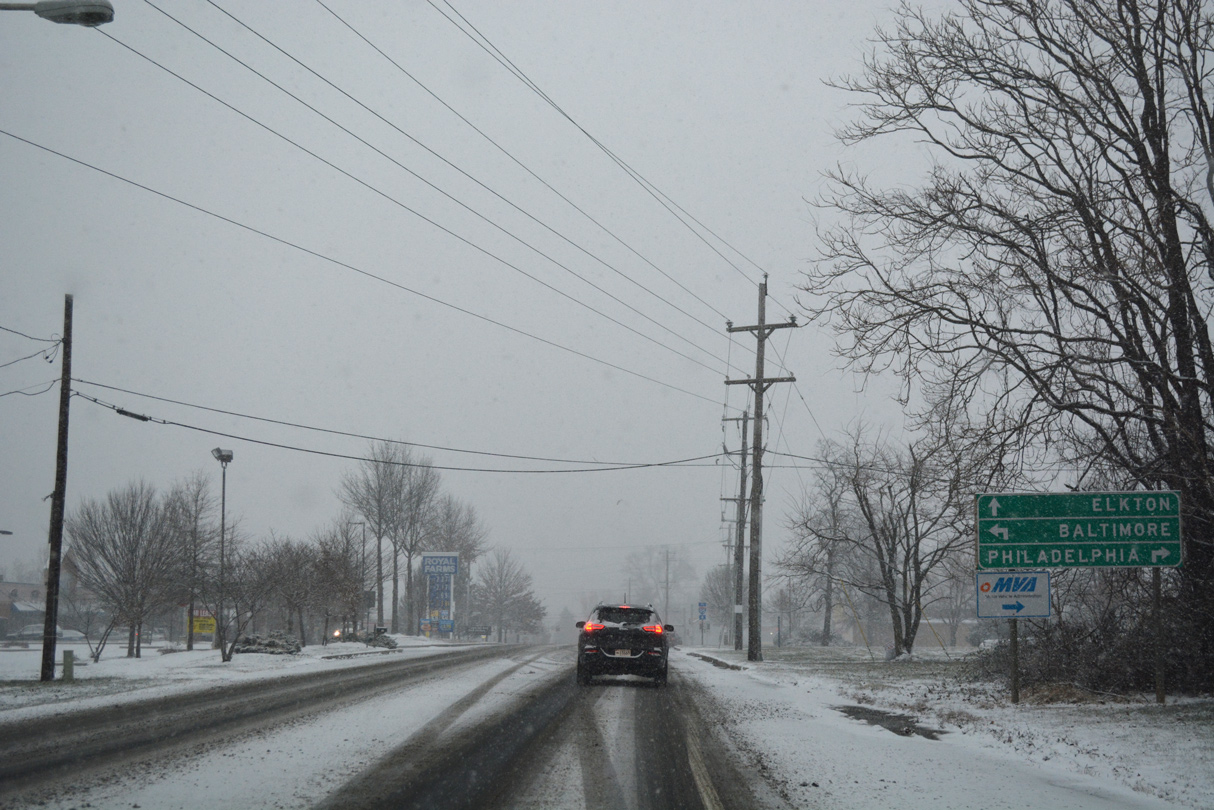
Guide sign for U.S. 40 (Pulaski Highway) on MD 213 (Augustine Herman Highway) northbound. Philadelphia, Pennsylvania remains as a control city despite U.S. 40's diminished role as a suburban arterial from Elkton to Glasgow and Bear, Delaware.
12/15/17

An I-95 trailblazer references the MD 279 (Elkton Road) interchange to the northeast.
12/15/17

U.S. 40 (Pulaski Highway) represents the main commercial arterial across Elkton. Generally serving local traffic, the US highway joins the county seat with North East and Perryville to the west.
12/15/17
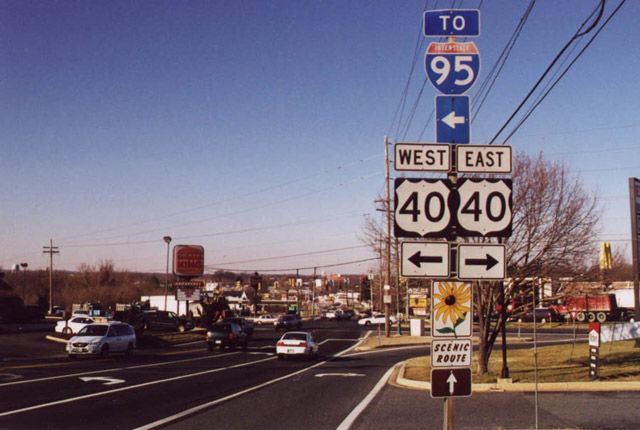
Replaced shield assembly at MD 213 (Augustine Herman Highway) and U.S. 40 (Pulaski Highway). U.S. 213 north and MD 280 (Bridge Street) south ended here until 1978. MD 213 replaced MD 280 northward to the Pennsylvania state line.
01/15/00
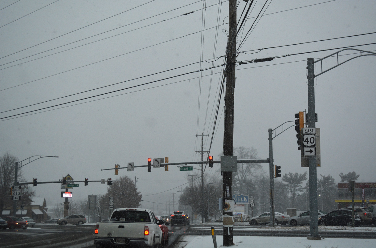
Traffic lights on MD 213 (Augustine Herman Highway / Bridge Street) at U.S. 40 operate in a split phase. U.S. 40 mirrors the I-95 corridor across Northeastern Maryland and New Castle County, Delaware.
12/15/17
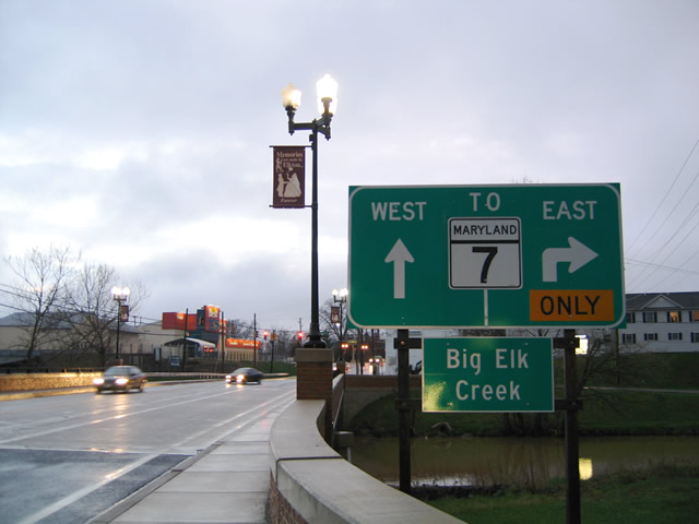
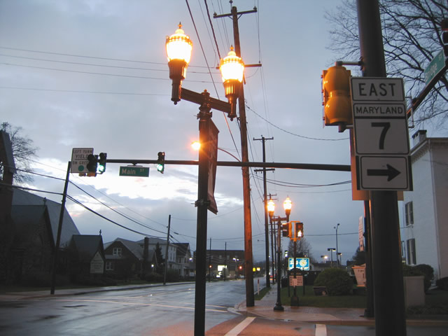
MD 213 (Bridge Street) spans Big Elk Creek 0.42 miles north of U.S. 40 (Pulaski Highway). Just beyond the span is the former couplet of MD 7 along Howard Street (westbound) and Main Street (eastbound). MD 7 was decommissioned through Downtown Elkton in 2012.
04/13/04
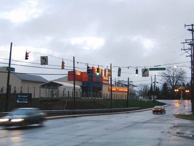
Howard Street runs one block south of the Elkton business district, linking MD 213 (Bridge Street) with Eder Park and the remaining segment of MD 7 along Delaware Avenue.
04/13/04

MD 213 north and MD 7 previously overlapped one block north from Howard Street to Main Street. Until 2010, the state route followed Main Street to Jeffers Street and U.S. 40 (Pulaski Highway) to the west.
04/13/04
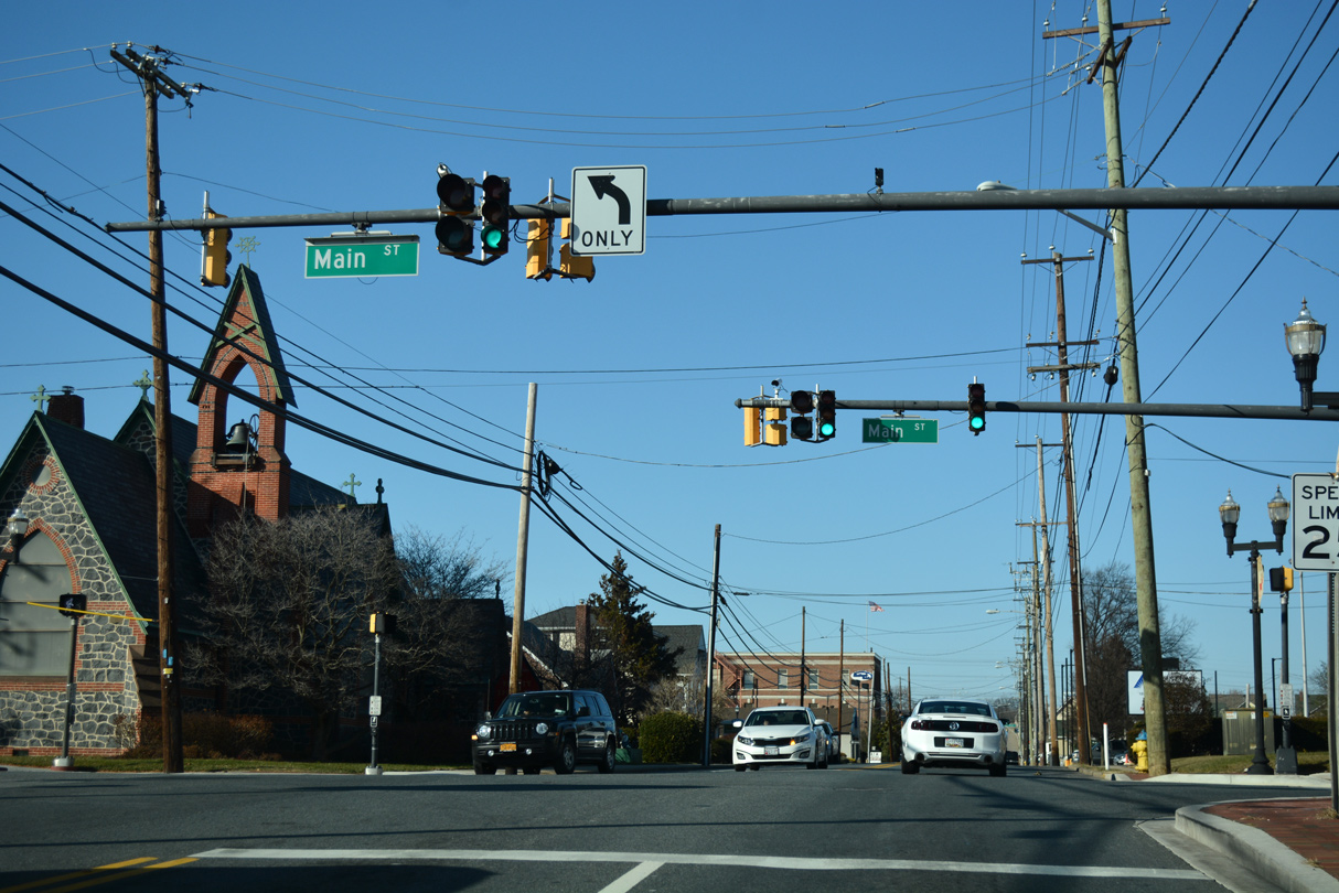
Main Street (former MD 7) east through Downtown connects with MD 268 (North Street) and MD 281 east to Iron Hill, Delaware.
12/16/17
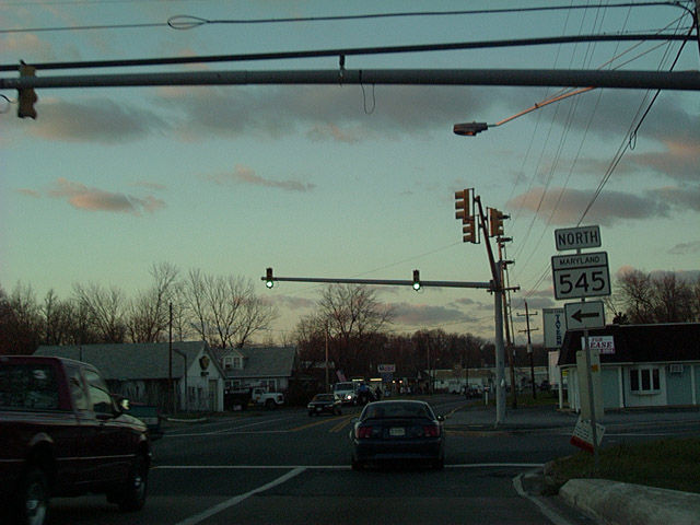
Bridge Street leaves Downtown Elkton across the AMTRAK Northeast Corridor. Lowering from the railroad span, MD 213 intersects MD 545 (Elkton Boulevard) north at the Elkton Heights community. MD 545 spurs 5.92 miles northwest from Elkton toward the rural community of Blue Ball.
12/21/01
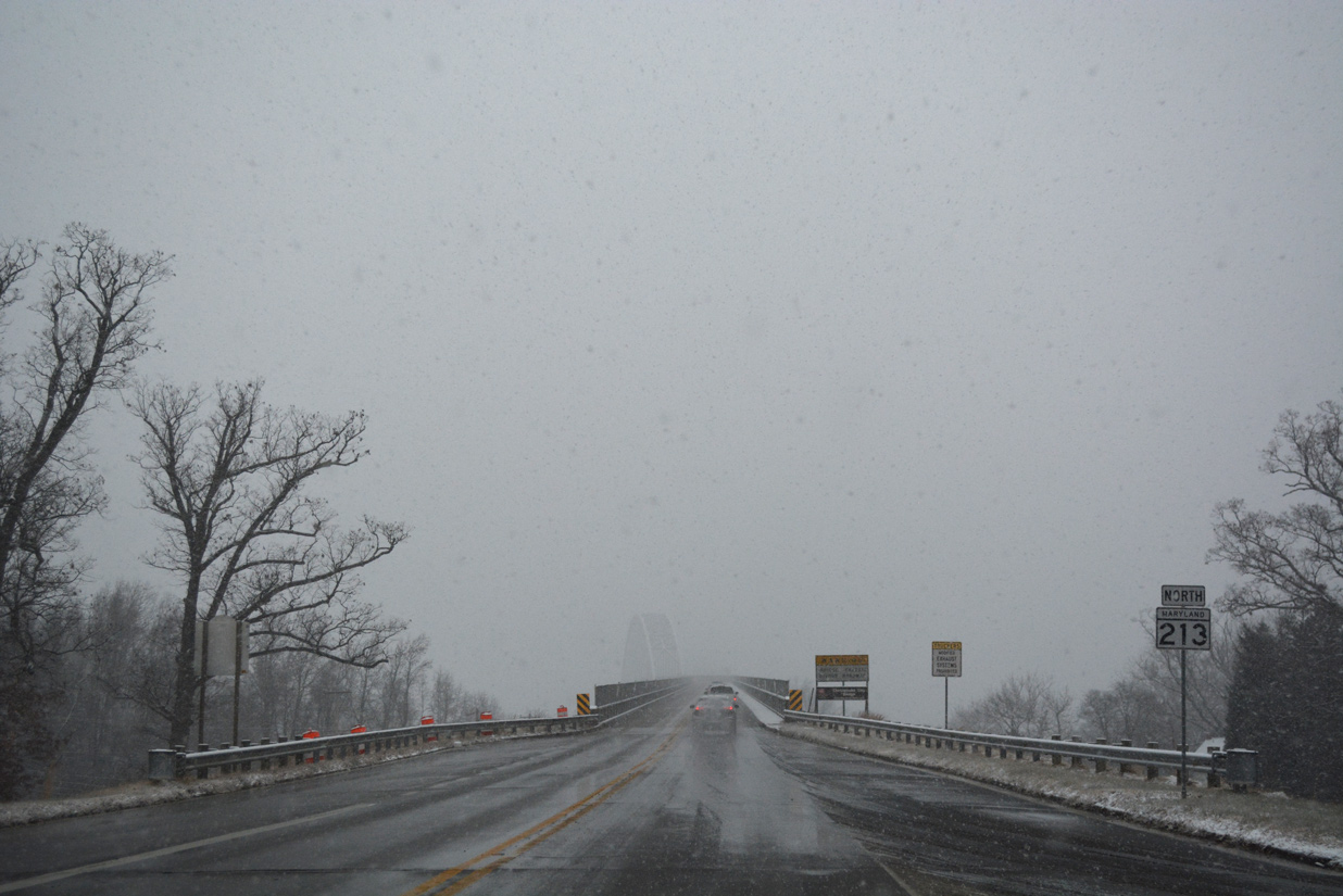
MD 213 winds north from Fair Hill to the Pennsylvania state line at Lewisville. PA 841 (Chesterville Road) takes over and immediately intersects PA 472 (Lewisville Road) north to Hickory Hill.
08/11/05
References:
- Sassafras River Bridge. http://bridgehunter.com/md/kent/100000140006010/ Bridgehunter.com
- MD 213 over BOHEMIA RIVER, Cecil County, Maryland. http://bridgereports.com/1240495 BridgeReports.com
- MD RT 213 over C&D CANAL, Cecil County, Maryland. http://bridgereports.com/1244618 BridgeReports.com.
- Chesapeake City Bridge, Chesapeake City, DE. John A. Weeks III.
- "State approves funds for purchase of former golf course for park." Cecil Whig (Elkton, MD), October 5, 2017.
- "MDOT SHA Improves Safety and Access on MD 272 and MD 213 in Cecil County." Maryland Department of Transportation (MDOT), news release. July 24, 2017.
Photo Credits:
- AARoads: 08/27/05
- Alex Nitzman: 01/15/00, 12/21/01, 04/13/04, 08/10/04, 08/11/05, 12/16/17, 12/29/17
- ABRoads: 12/15/17
Connect with:
Page Updated Tuesday December 11, 2018.