
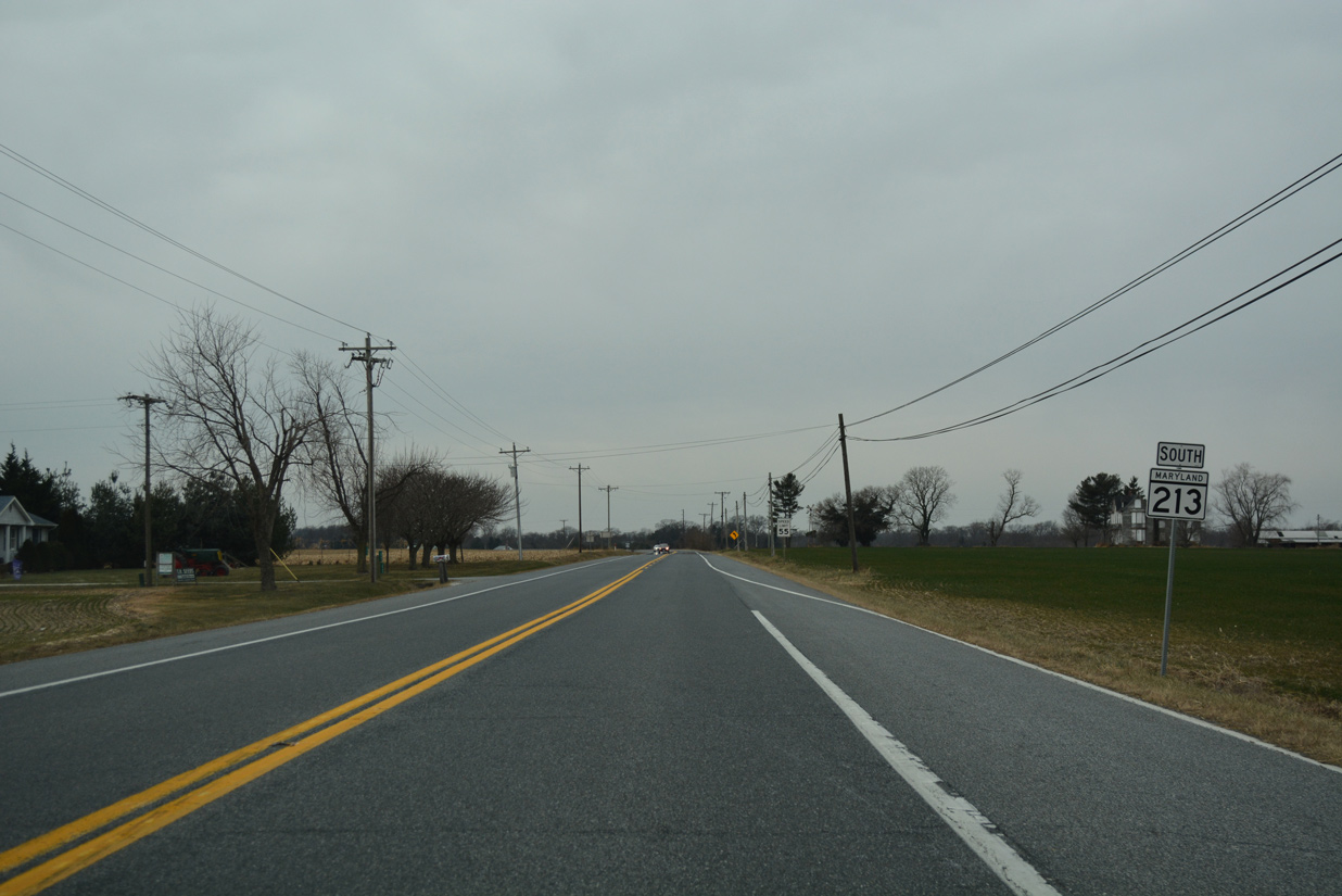
Route 213 South
 South
South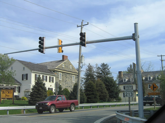
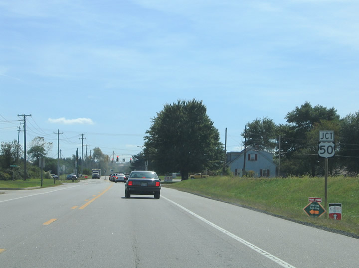
MD 213 (Lewisville Road) travels 1.54 miles south from the state line at Lewisville to intersect MD 273 (Telegraph Road) at Fair Hill. MD 273 forms a multi state route with SR 273 through Newark, Delaware to the east. MD 273 west leads Blueball and Rising Sun.
04/24/04
Advancing south from Fair Hill, MD 213 (Fair Hill Road) continues to the communities of Andora and Cherry Hill. Entering the Lanzi Roundabout, MD 213 meets Leeds Road east to MD 277 and Elk Mills and west to MD 545 (Blue Ball Road) at Leeds. Memorializing Maryland State Trooper Joseph T. Lanzi, the roundabout with Leeds Road was constructed in 1996. Lanzi died in a traffic accident on October 28, 1995 while responding to a call along MD 213.
07/31/04
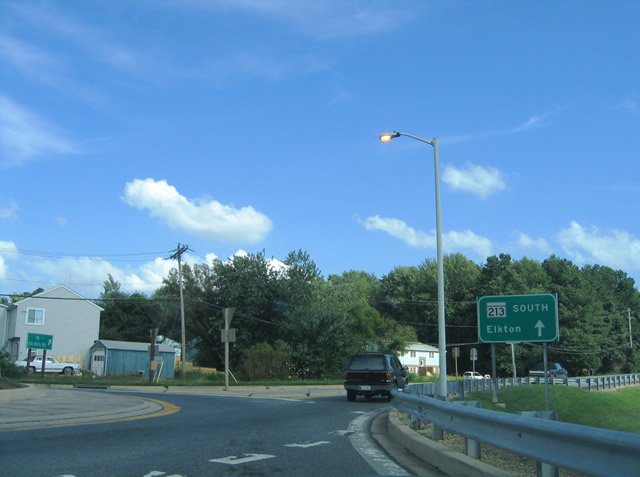
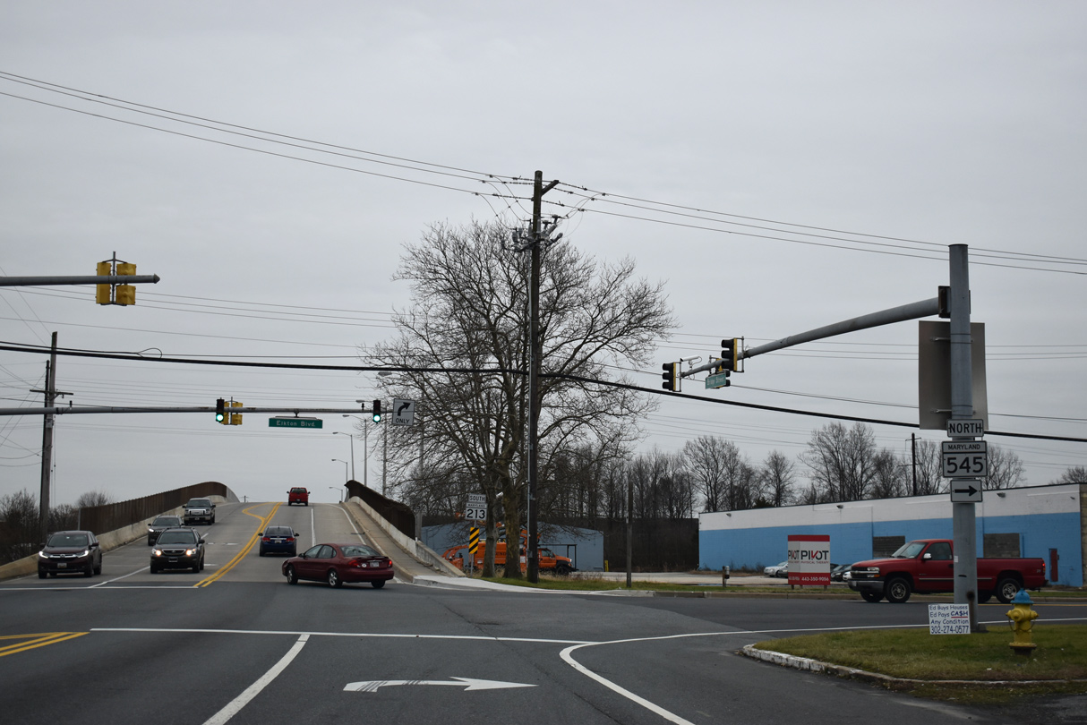
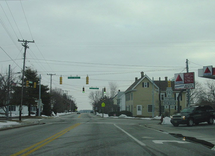
Progressing south from I-95 overpass, MD 213 enters the town of Elkton. The state route intersects MD 545 north at Elkton Boulevard and the Elkton Heights community.
01/02/19
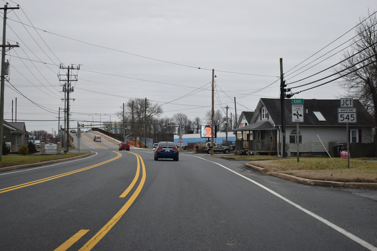
MD 545 dog legs west along Elkton Boulevard to Blue Ball Road north. The state route spurs 5.92 miles to Warburton Road at Pleasant Hill.
01/02/19
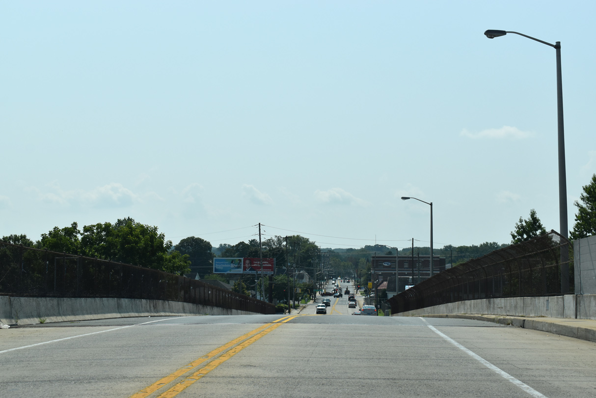
MD 213 (Bridge Street) rises south of MD 545 (Elkton Boulevard) on a bridge spanning the AMTRAK Northeast Corridor.
08/27/21
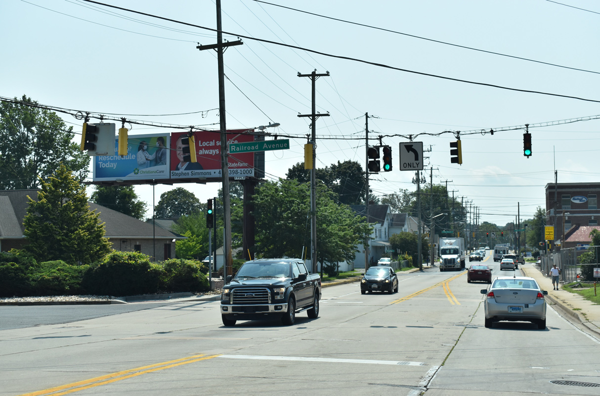
Railroad Avenue stems 0.27 miles east from MD 213 (Bridge Street) to MD 268 (North Street).
08/27/21
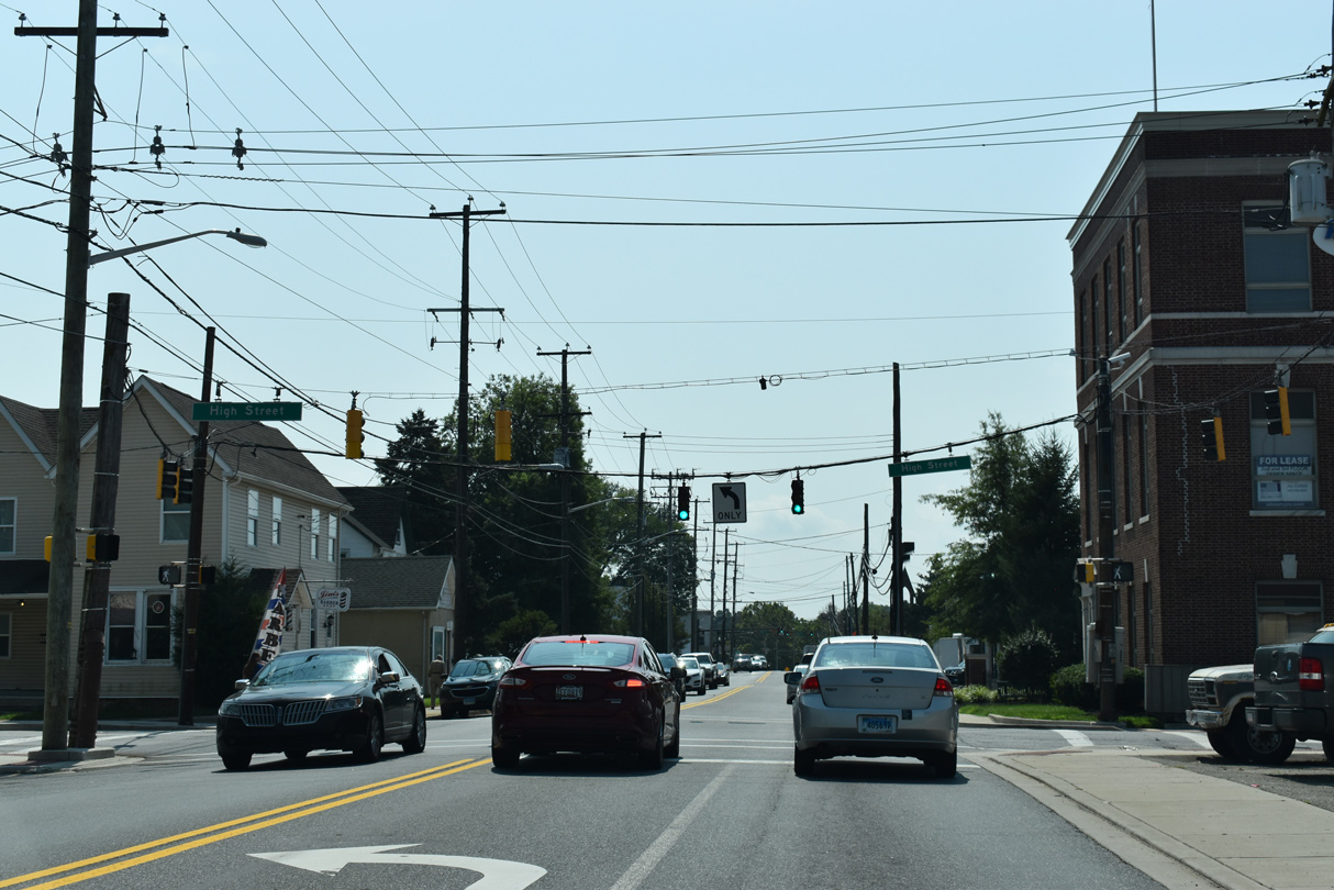
High Street runs north of Downtown Elkton by ChristianaCare Union Hospital.
08/27/21
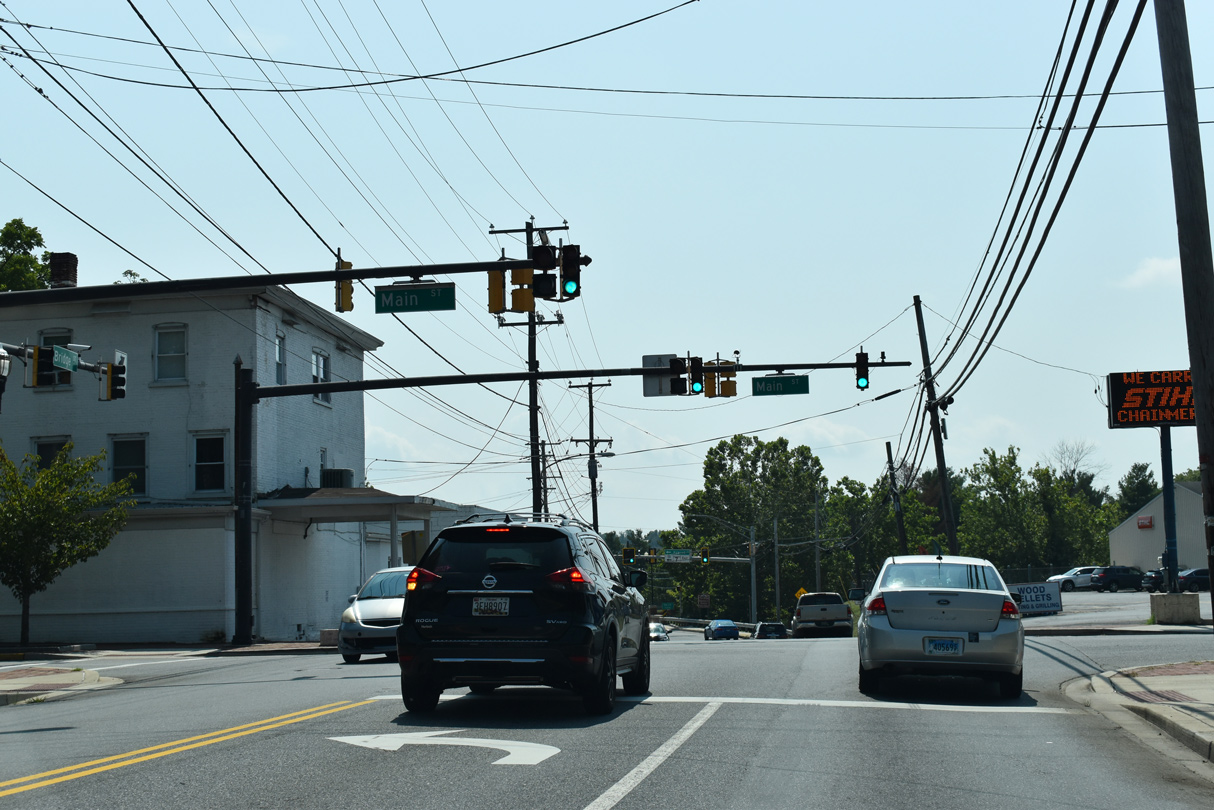
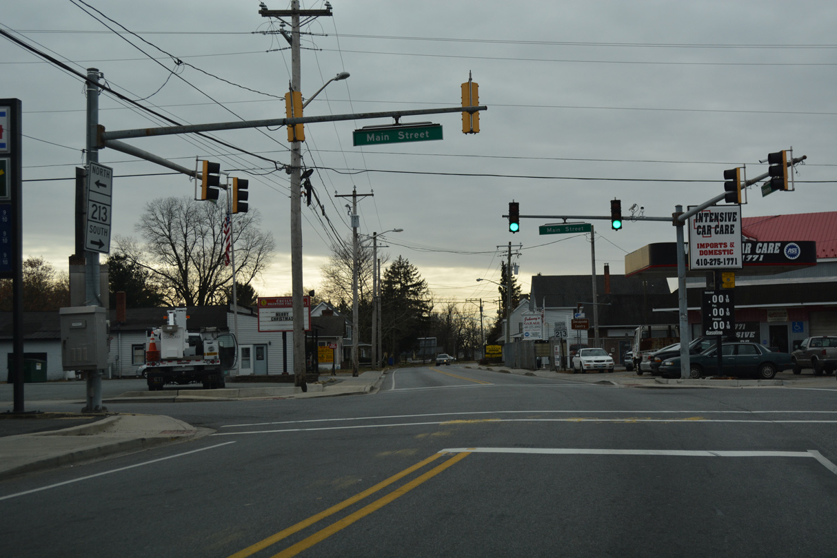
MD 213 (Bridge Street) intersects Main Street (former MD 7) along the west side of Downtown Elkton.
08/27/21
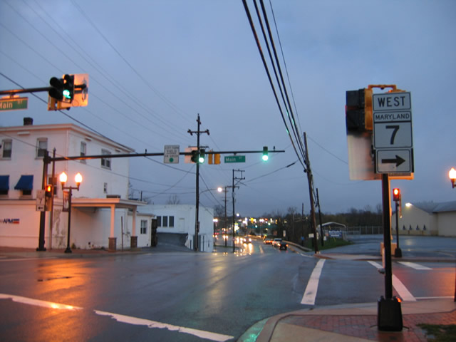
MD 7 along Main Street through central Elkton was relinquished from the state to the town of Elkton west of Bridge Street in 2010 and to the east in 2012.
04/13/04
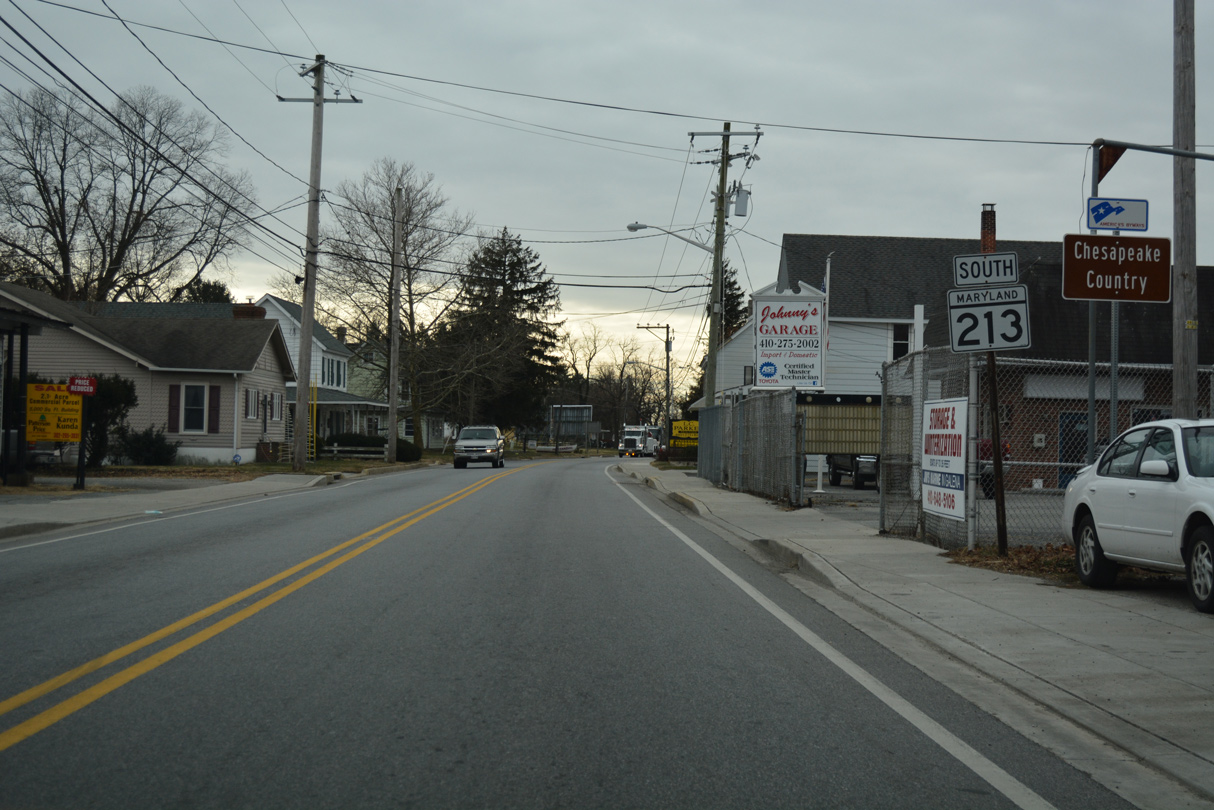
MD 213 (S Bridge Street) converges with U.S. 40, 0.53 miles south of Main Street (old MD 7).
08/27/21
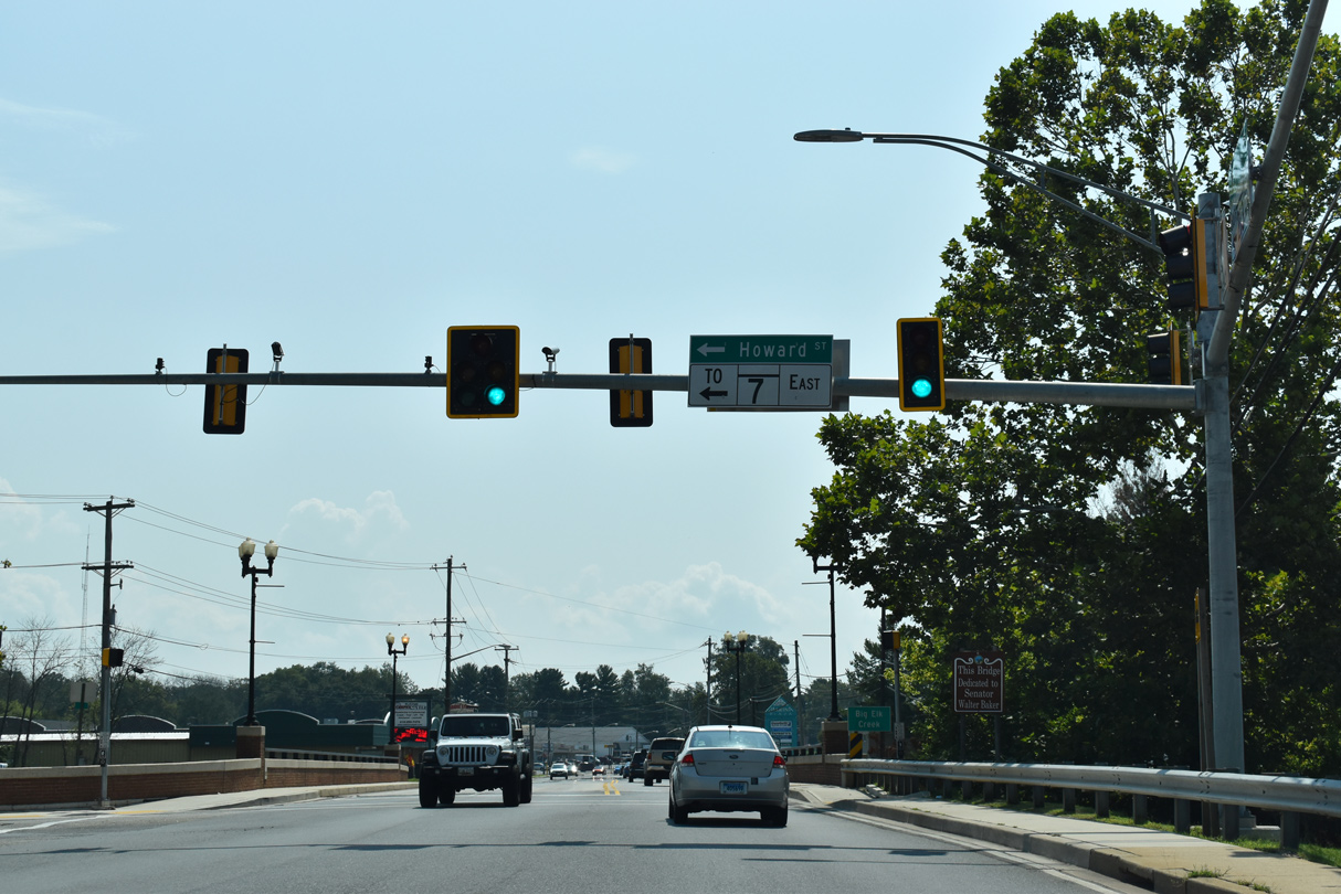
Howard Street is a major collector leading 0.59 miles east past Downtown Elkton to MD 7 on Delaware Avenue.
08/27/21
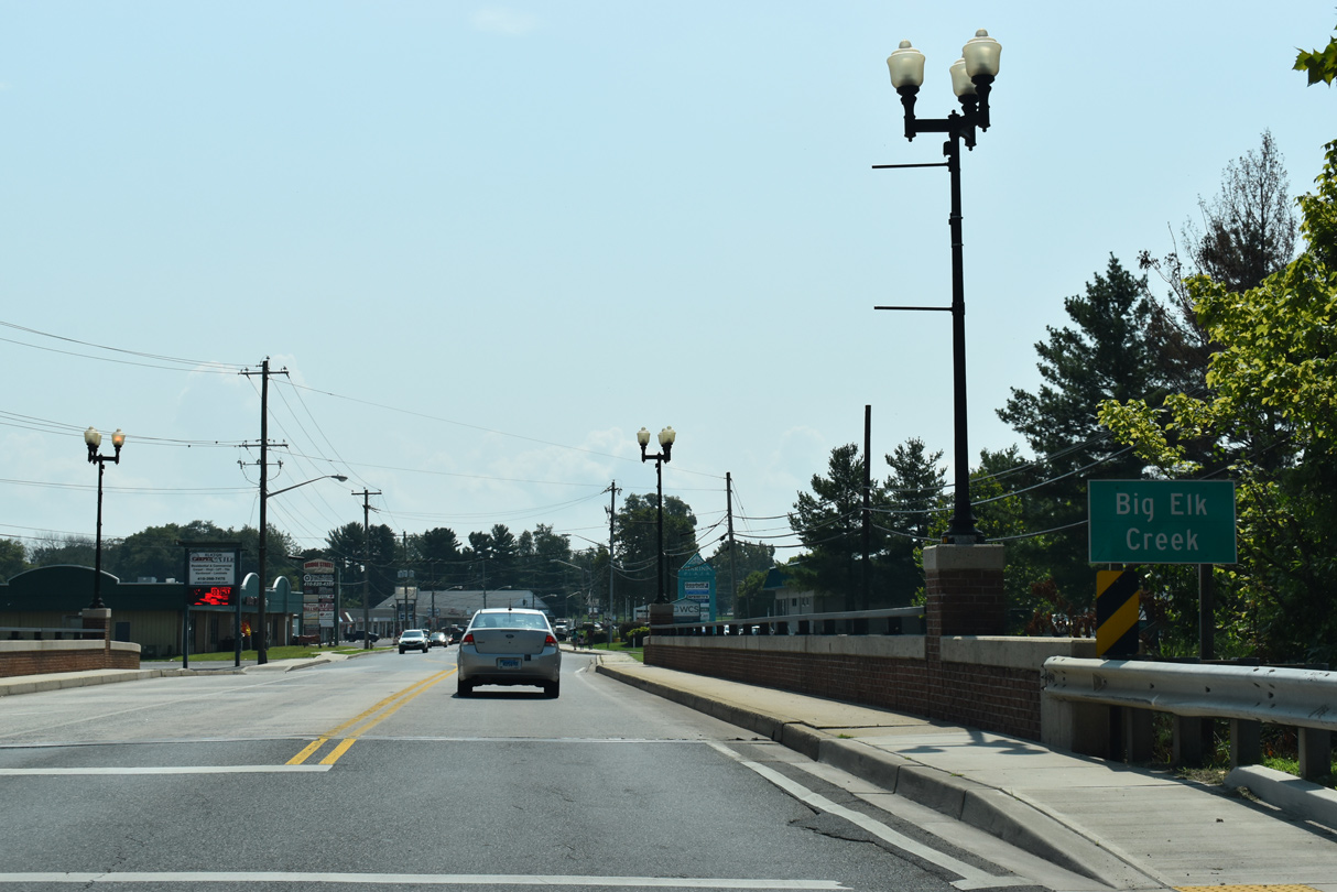
MD 213 (S Bridge Street) crosses Big Elk Creek ahead of several strip malls.
08/27/21
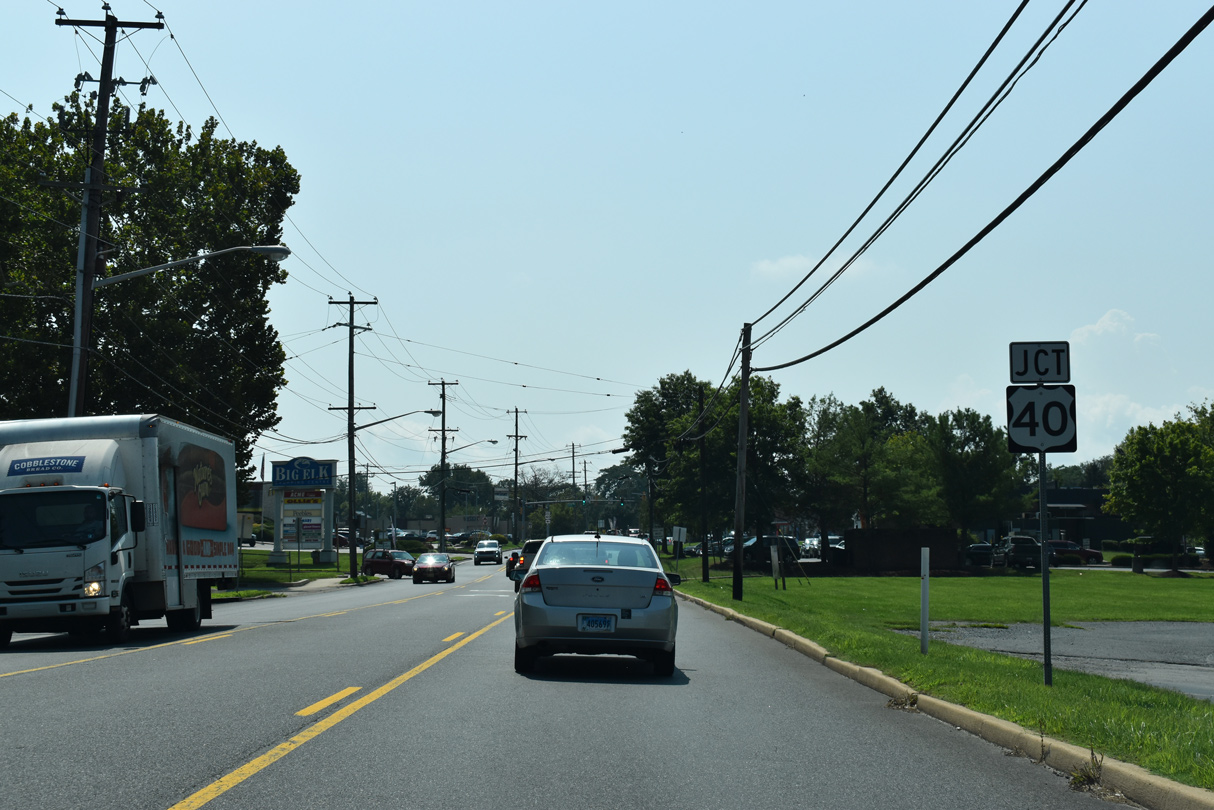
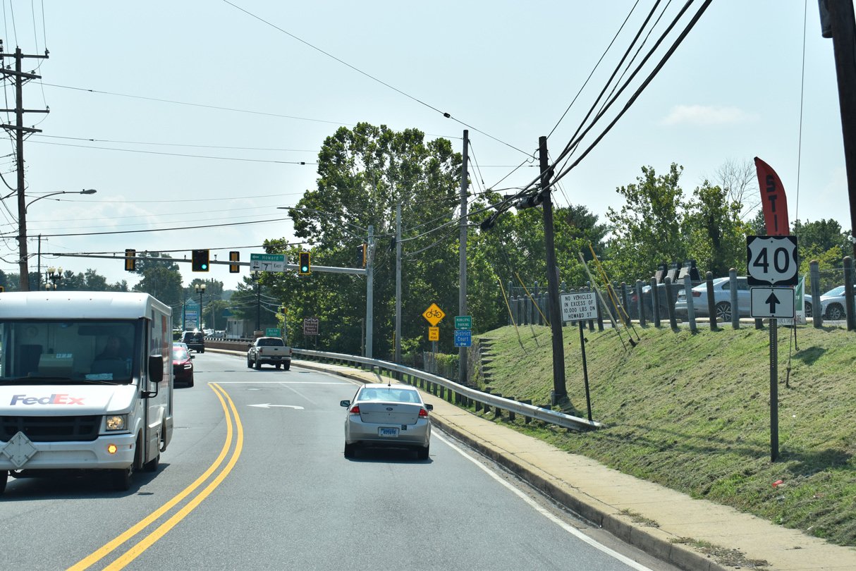
U.S. 40 (Pulaski Highway) meets MD 213 (S Bridge Street) along a commercial strip by Big Elk Shopping Centre.
08/27/21
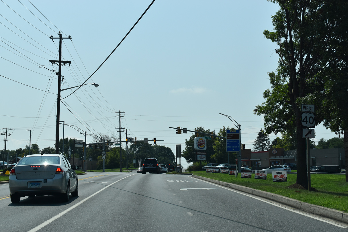
U.S. 40 (Pulaski Highway) travels west from Elkton to North East and Perryville and east to Glasgow and Bear, Delaware. The intersection of U.S. 40 and MD 213 represents the historic north end of U.S. 213.
08/27/21
U.S. 213 followed MD 213 south from Elkton to the Kent County seat of Chestertown. The U.S. route was decommissioned in 1971.
08/27/21
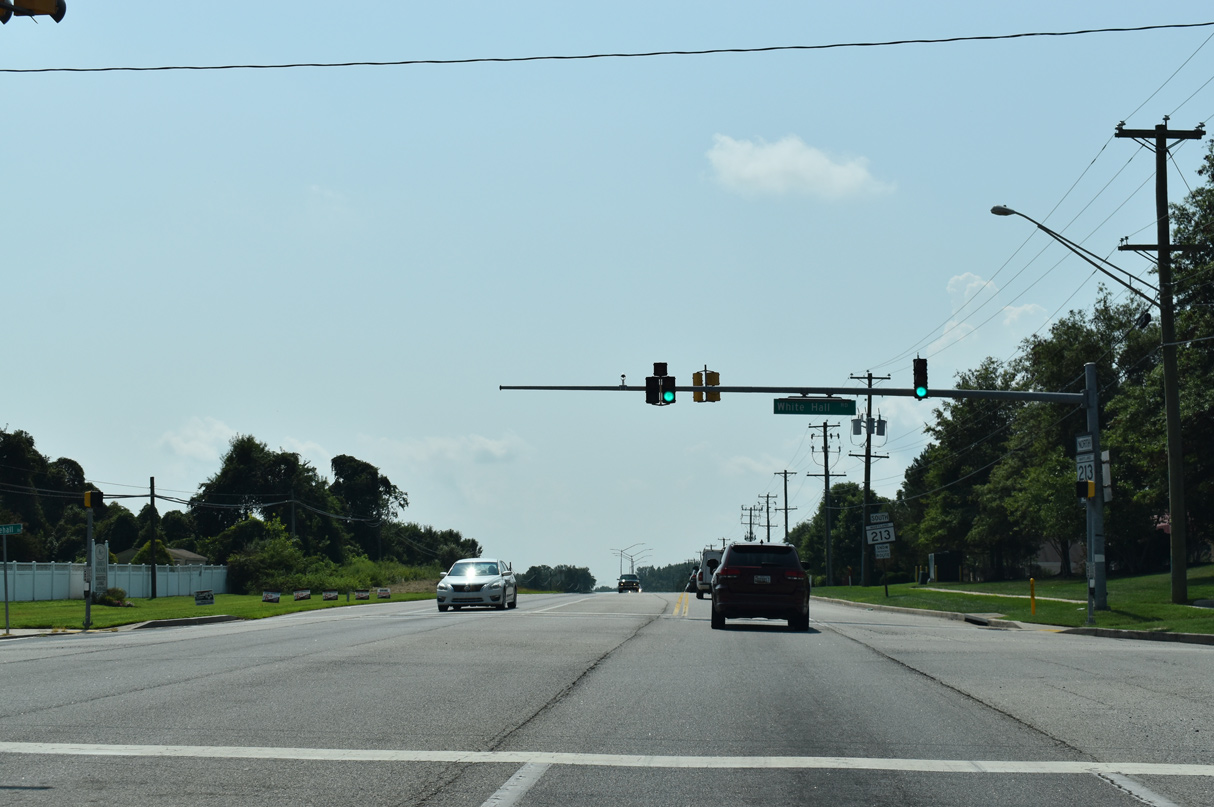
White Hall Road angles 1.07 miles southwest from MD 7 (Delaware Avenue) to the succeeding traffic light on MD 213 south. White Hall Road spurs 0.91 miles west to the Kensington Courts On the Elk River subdivision near White Hall Point along the Elk River.
08/27/21
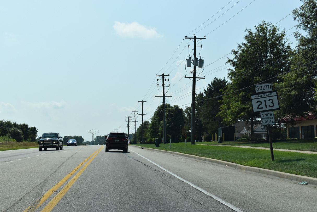
MD 213 remains within the town limits of Elkton south from White Hall Road to Frenchtown Road.
08/27/21
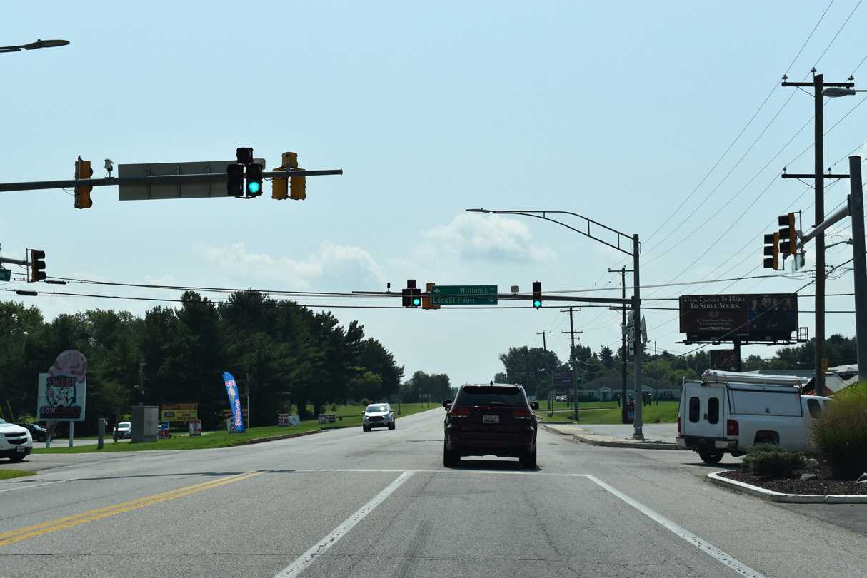
Williams Road connects MD 213 (Augustine Herman Highway) with Glasgow, Delaware to the northeast. Locust Point Road extends the road 2.25 miles west from the signal at MD 213 to Locust Point along the Elk River.
08/27/21
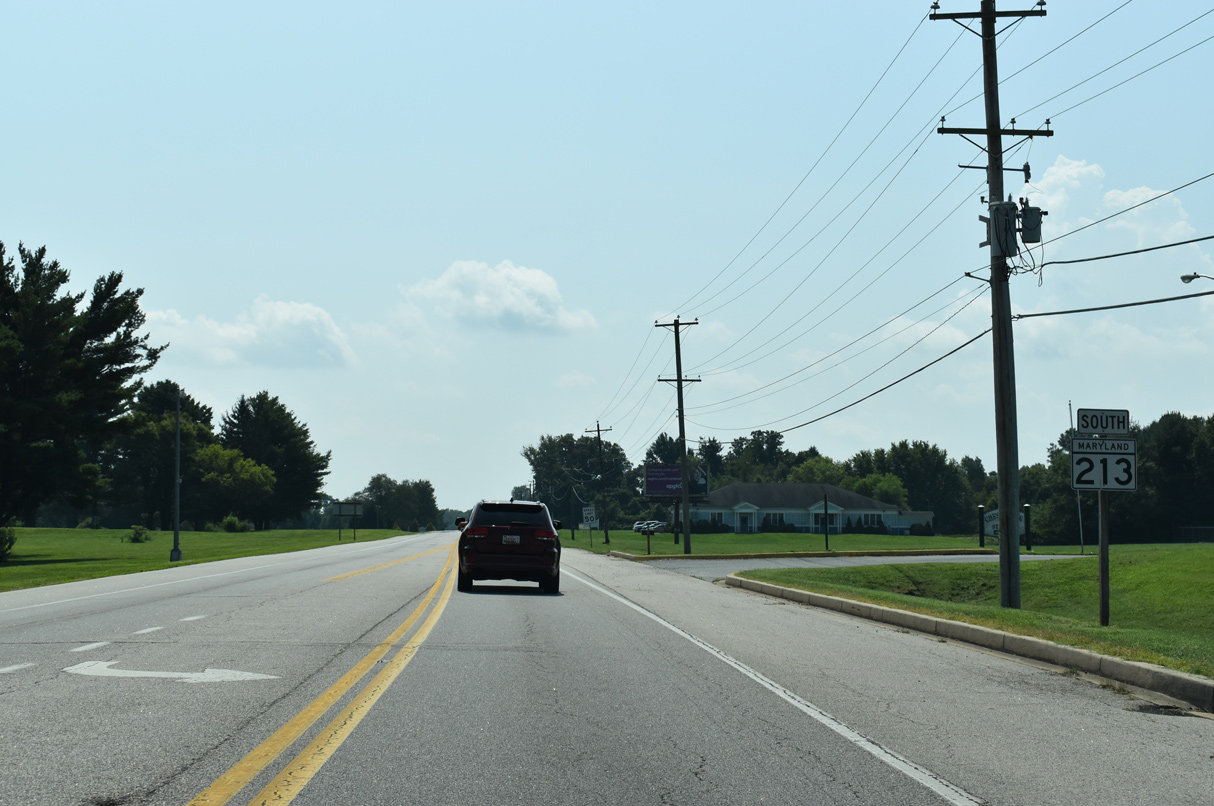
Reassurance marker posted south of Locus Point and Williams Roads. The former Brantwood Golf Course along the east side of MD 213 here was acquired by Cecil County in 2017 for a new county park.
08/27/21
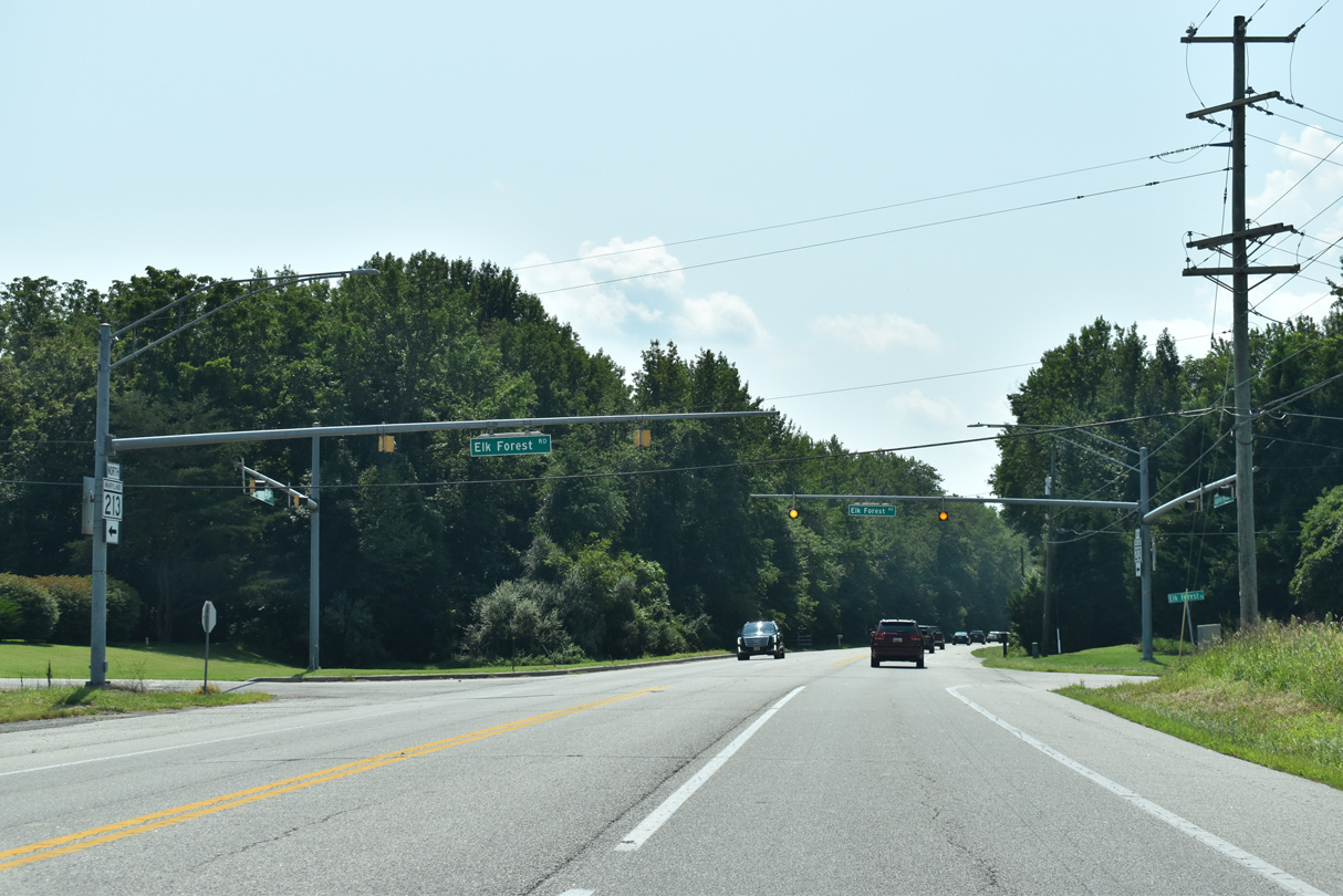
Connecting with Spears Hill Road (old U.S. 213) nearby, Elk Forest Road spurs 4.21 miles west from MD 213 onto Back Creek Neck. The Brantwood subdivision lies just 0.05 miles to the east.
08/27/21
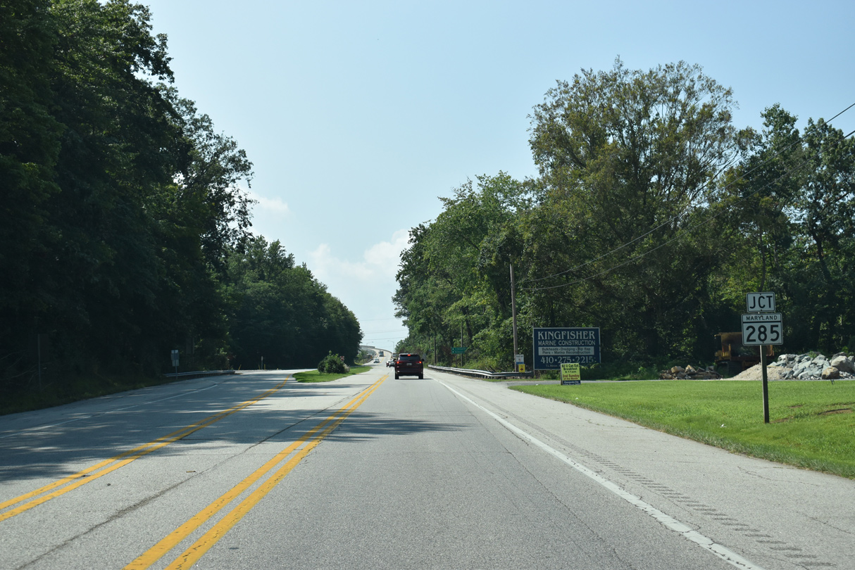
MD 213 (Augustine Herman Highway) navigates along a sweeping curve southwest across Long Creek to MD 285 (Lock Street) and North Chesapeake City.
08/27/21
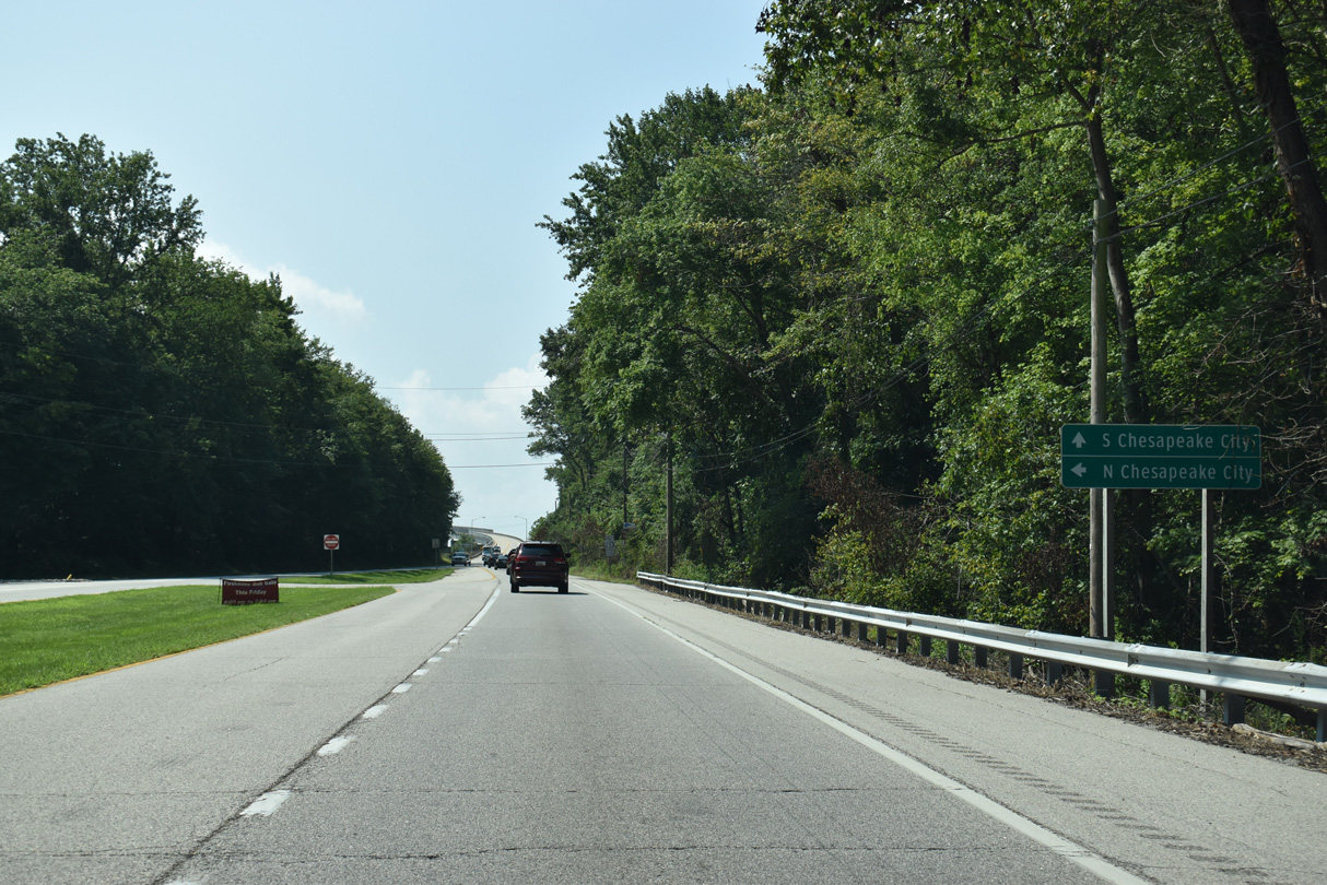
MD 285 links MD 213 with Chesapeake City along Lock and Biddle Streets. The state route runs along the north side of the Chesapeake & Delaware (C & D) Canal 1.67 miles east to the Delaware state line ahead of Summit Bridge.
08/27/21
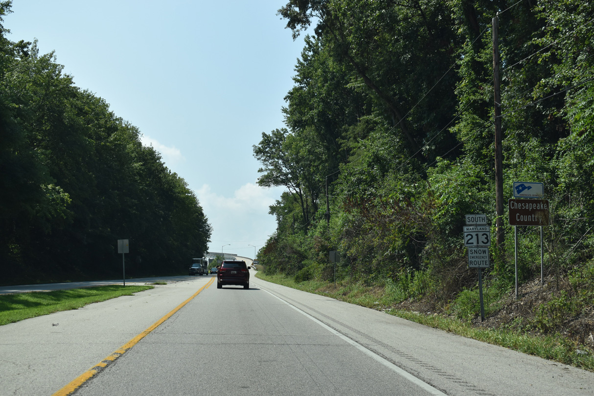
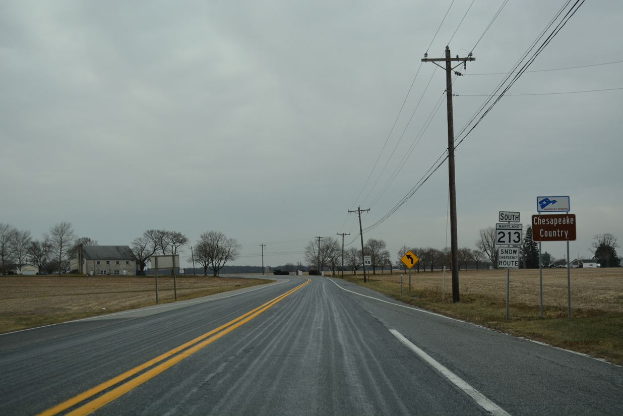
The Chesapeake Country Scenic Byway overlays MD 213 southward from Chesapeake City to Centerville.
08/27/21
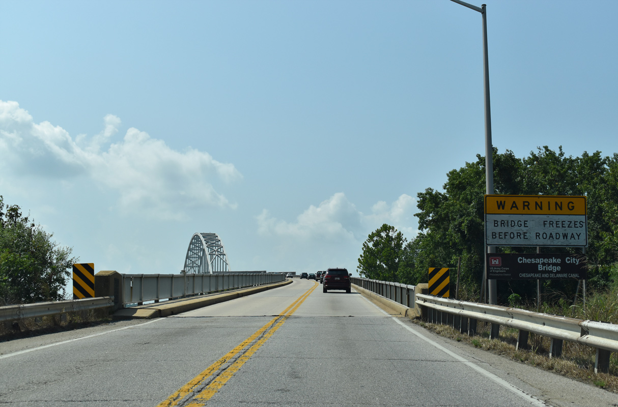
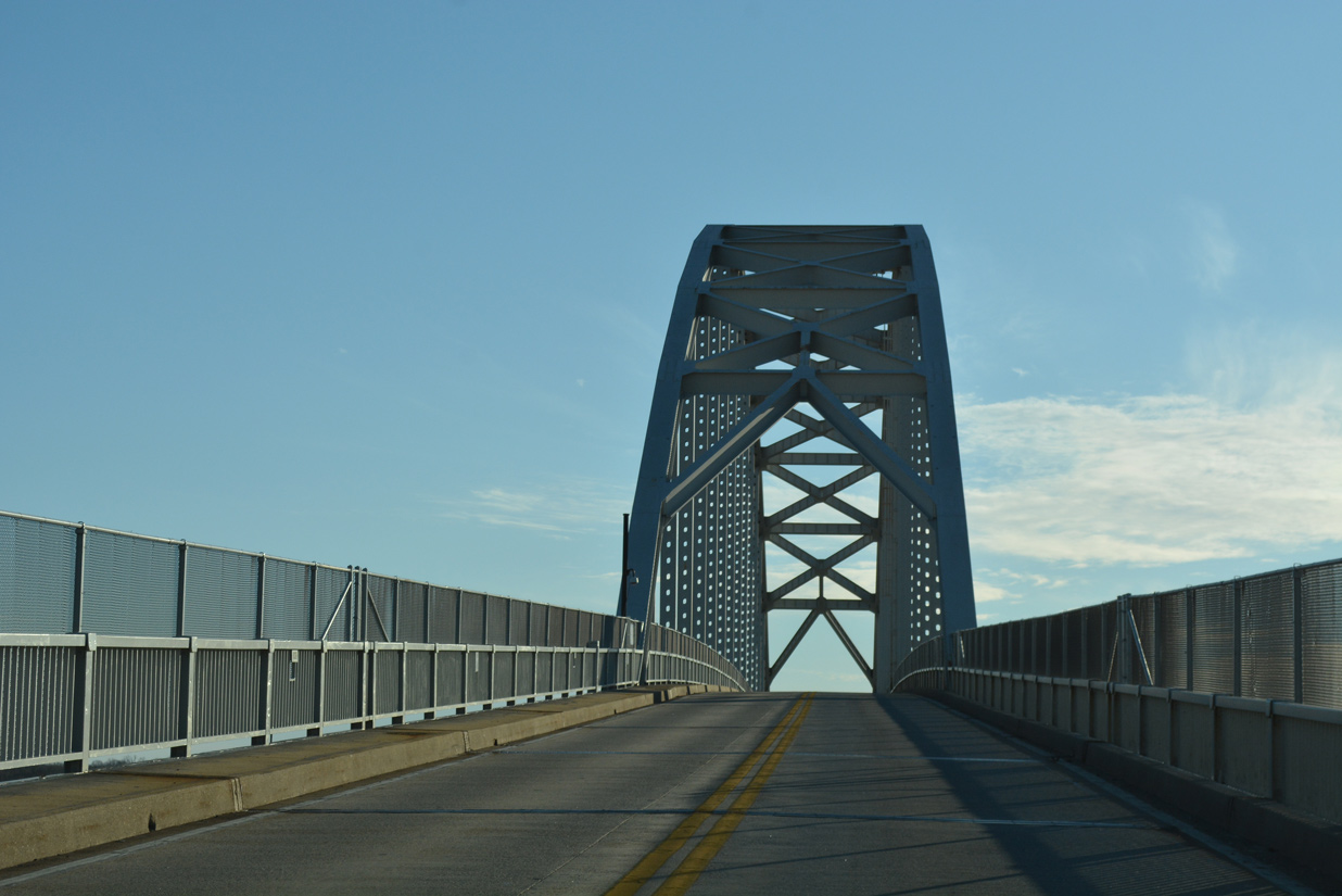
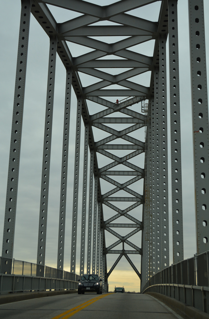
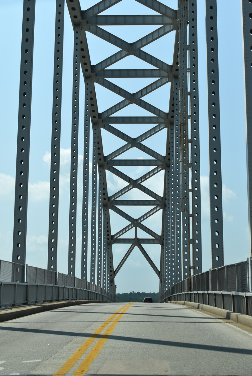
Maintained by the Army Core of Engineers, the Chesapeake City Bridge spans the C & D Canal between MD 285 and MD 286 (George Street).
08/27/21
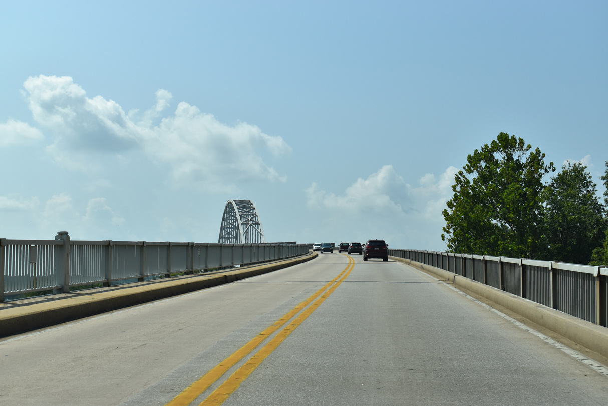
The Chesapeake City Bridge rises to a height of 134.5 feet. The two lane crossing measures 3,955 feet in length with a 29.9 foot wide deck (Baughn, n.d.a).
08/27/21
12/26/17
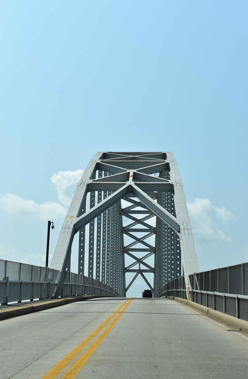
The Chesapeake City Bridge was constructed from 1946 to 1949 by the Army Core of Engineers. One of only two tied-arch bridges in the state (the other being the Blue Bridge in Cumberland), the crossing replaced a lift bridge built in 1927 that was destroyed following a freight collision in 1942 (MDSHA, 2011).
08/27/21
12/29/17
A pedestrian walkway runs along the northbound side of the Chesapeake City Bridge.
12/26/17
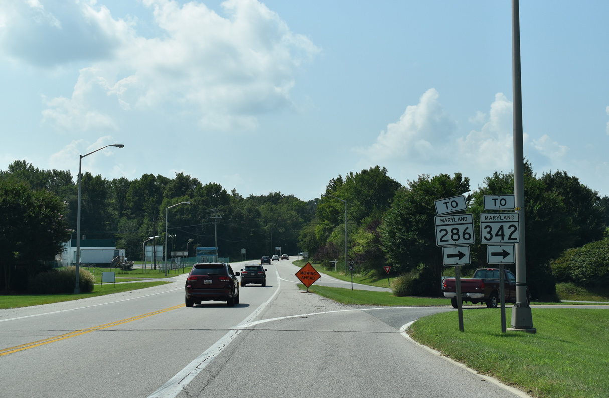
Right in right out (RIRO) ramps connect MD 213 (Augustine Herman Highway) with Basil Avenue (unsigned MD 537) north to MD 286 (George Street) and Chesapeake City and MD 342 (St. Augustine Road) south to St. Augustine.
08/27/21
Basil Avenue (historic U.S. 213) parallels MD 213 (Augustine Herman Highway) south out of Chesapeake City.
12/29/17
Reassurance marker posted between the signalized entrance to Bohemia Manor High School and Herring Creek.
12/29/17
Approaching MD 310 east on MD 213 (Augustine Herman Highway) south at the settlement of Cayots.
12/29/17
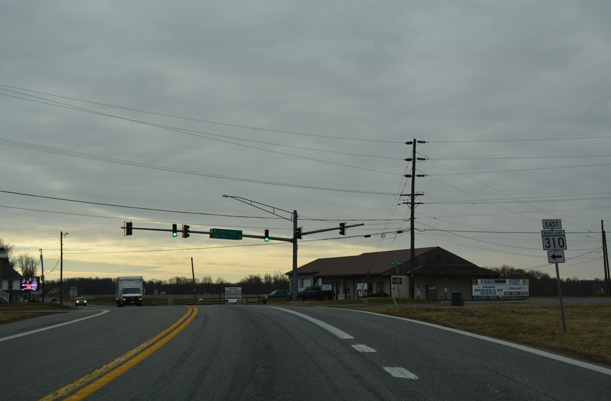
MD 310 (Cayots Corner Road) runs 3.96 miles east from MD 213 to the state line. Churchtown Road extends the roadway from there to SR 71/896 at Mount Pleasant.
12/29/17
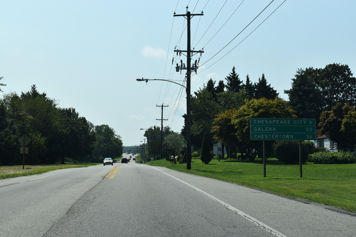
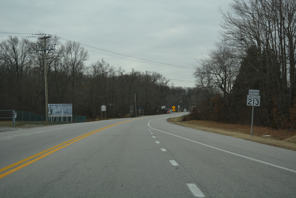
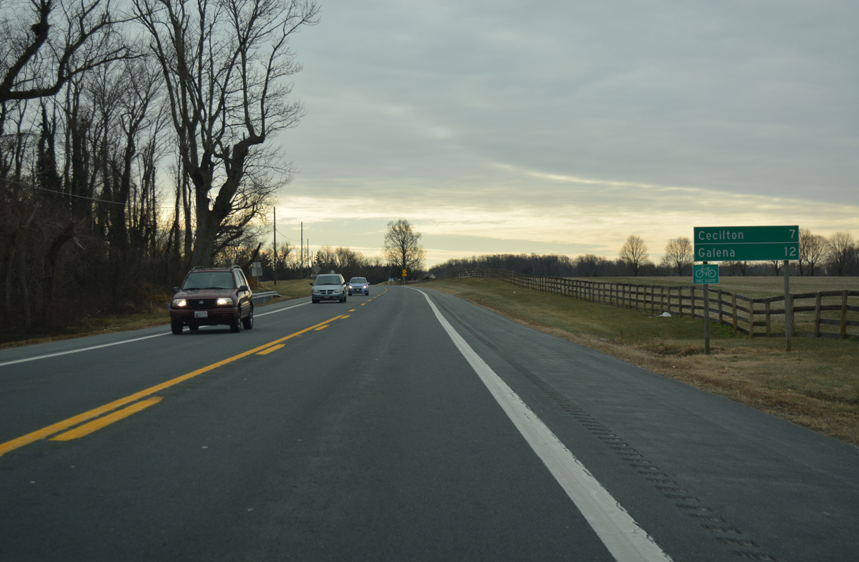
MD 213 (Augustine Herman Highway) advances seven miles south from Cayots to Cecilton and 12 miles to Galena.
12/29/17
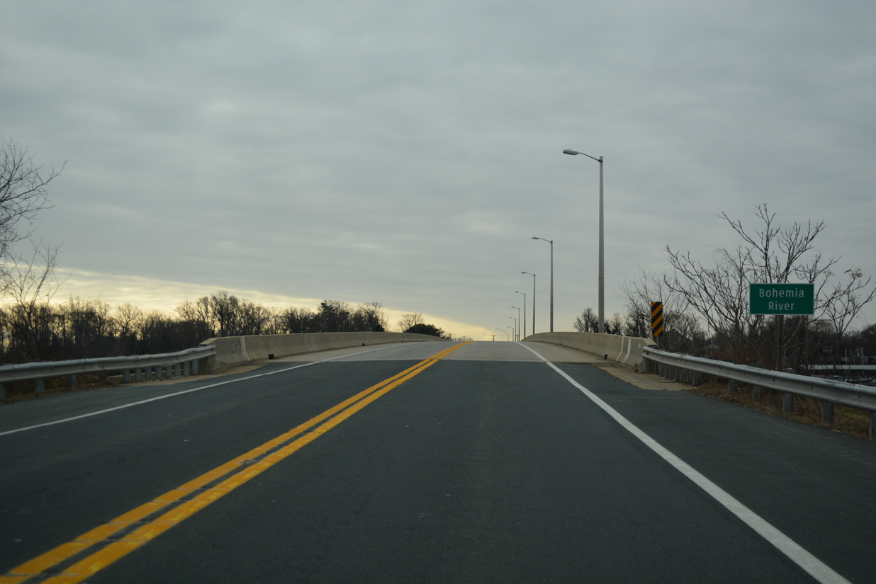
MD 213 crosses the Bohemia River on a 1,188 foot long bridge built in 1988 (Baughn, n.d.b).
12/29/17
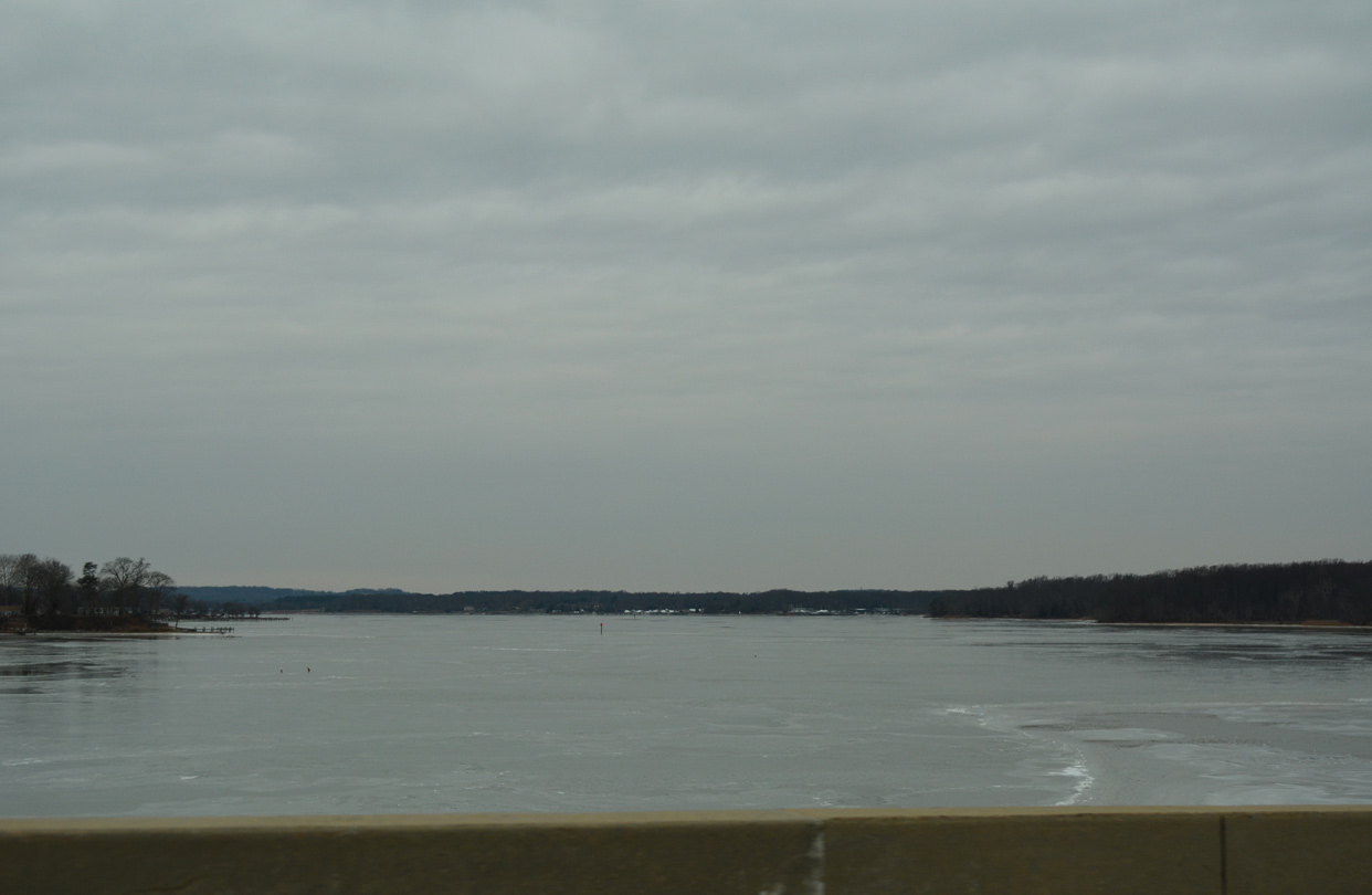
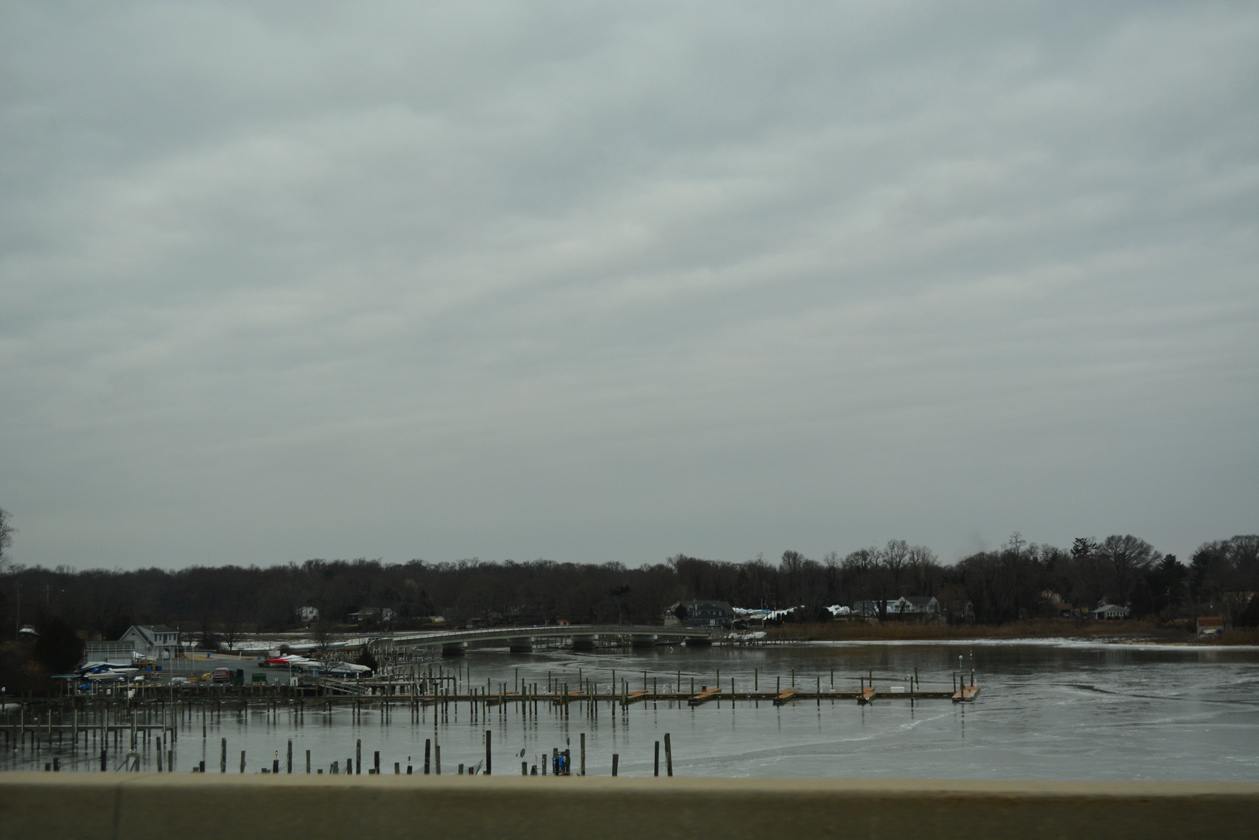
The Bohemia River widens westward between Veazey and Town Point Necks into the Elk River.
12/29/17
Glebe Road spans Scotchman Creek just west of MD 213 to the riverside community of Hack Point.
12/29/17
MD 213 (Augustine Herman Highway) plies across agricultural areas west of Black Duck Creek and ahead of Bohemia Church Road east.
12/29/17
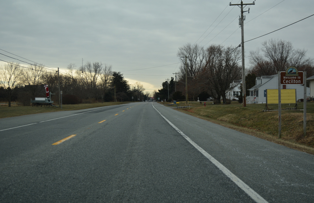
Trending westward, MD 213 enters the town of Cecilton across Sassafras Neck.
12/29/17
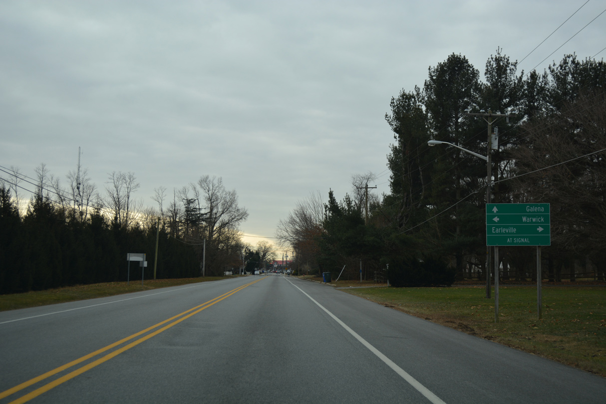
The lone traffic light in Cecilton operates along MD 213 (Bohemia Avenue) at MD 282 (Main Street). MD 282 heads 2.9 miles west to Earleville and five miles to unincorporated Warwick.
12/29/17
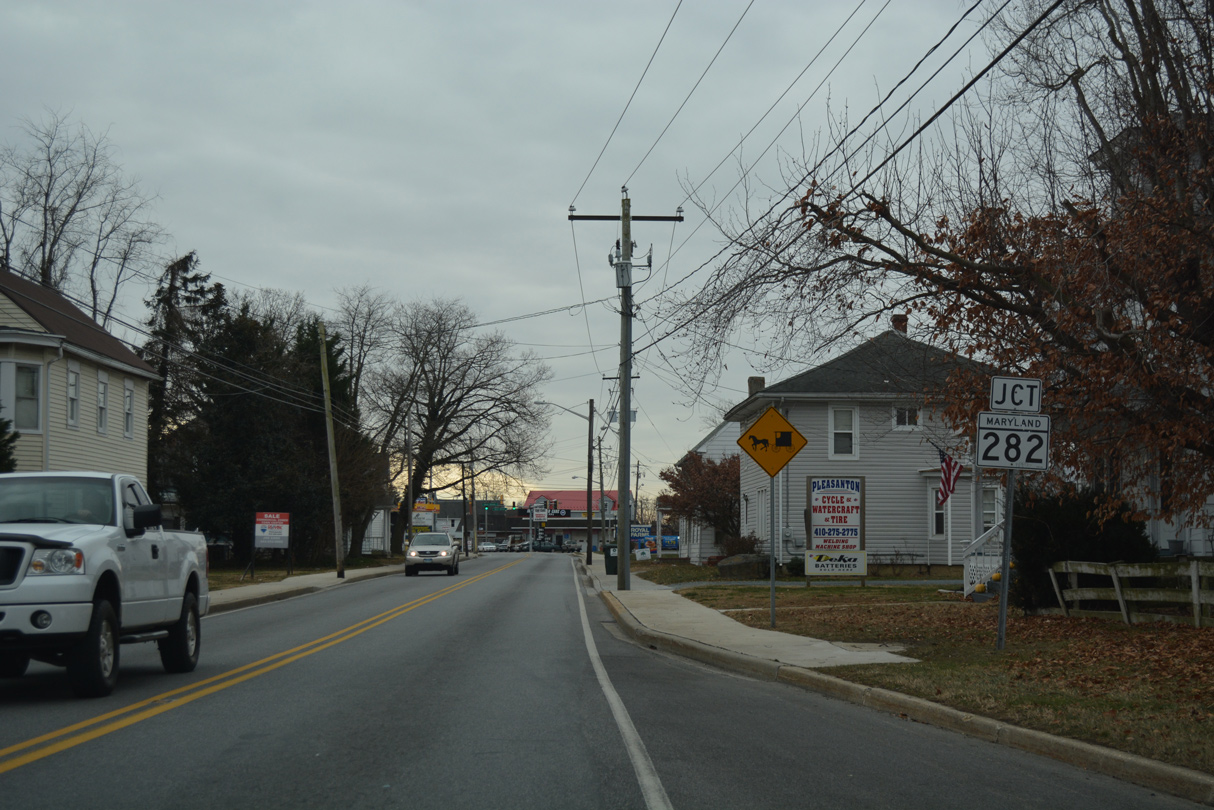
A 12.43 mile long route, MD 282 spurs northwest onto Pearce Neck to Crystal Beach. SR 299 connects with the east end from Middletown, Delaware.
12/29/17
MD 282 is unmarked on MD 213 (Bohemia Avenue) south at the intersection with Main Street.
12/29/17
Bohemia Avenue navigates along an S-curve south from the Cecilton business district.
12/29/17
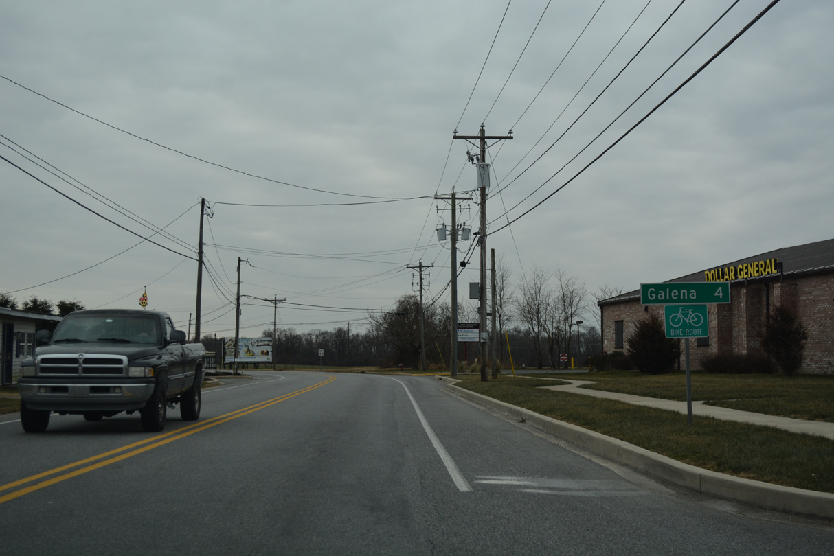
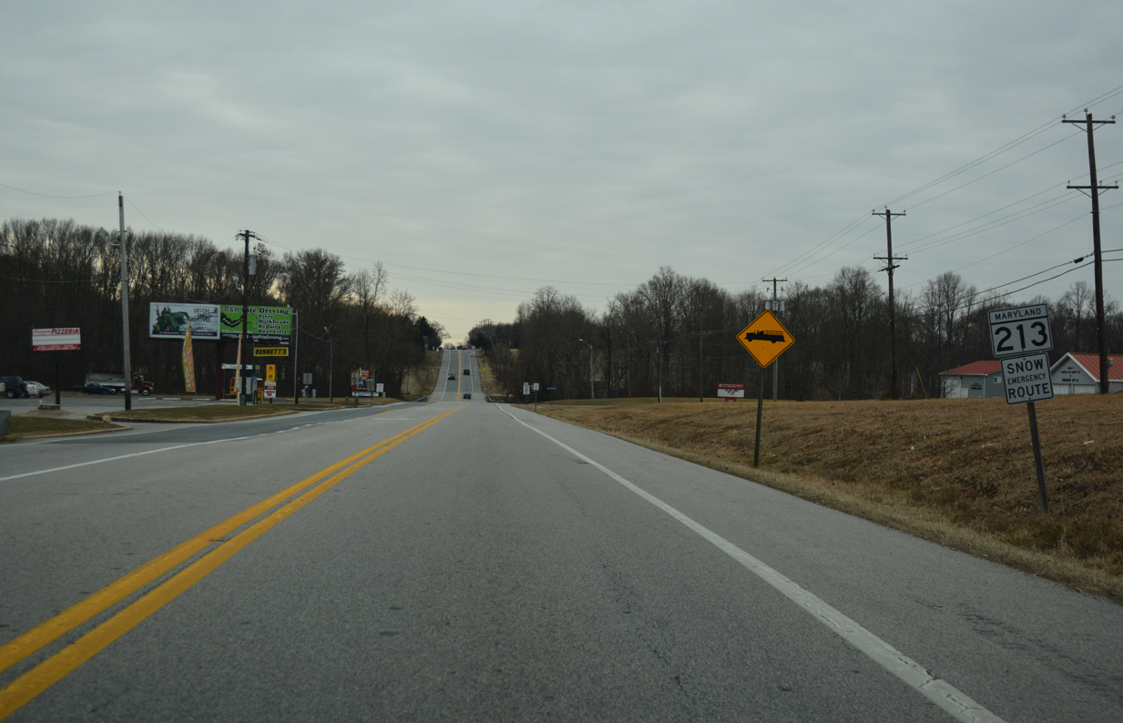
The Kent County town of Galena lies four miles south of Cecilton.
12/29/17
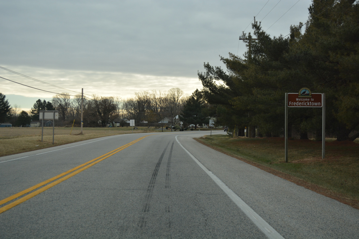
Fredericktown lines the north banks of the Sassafras River along MD 213 (Augustine Herman Highway).
12/29/17
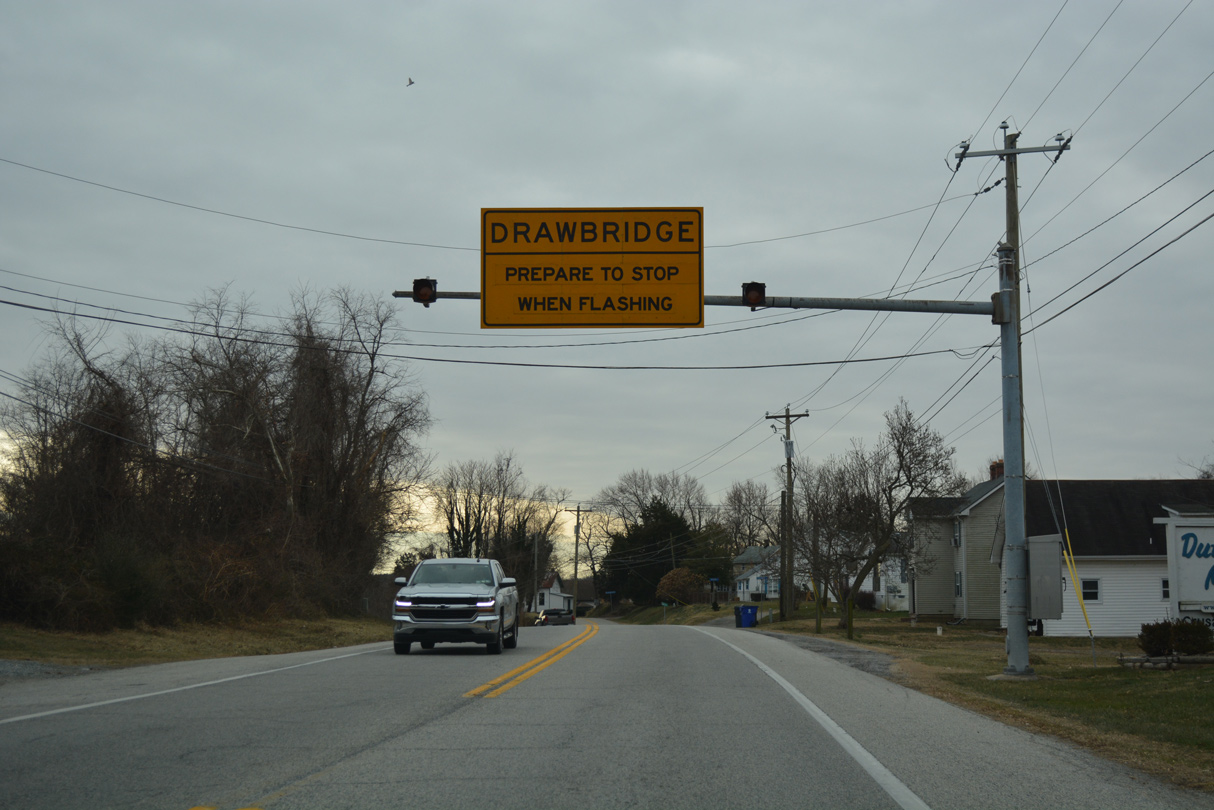
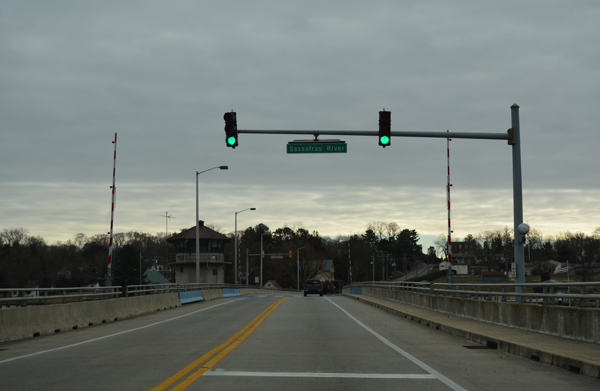
MD 213 drops 56 feet in elevation from this advisory sign to the draw bridge across the Sassafras River.
12/29/17
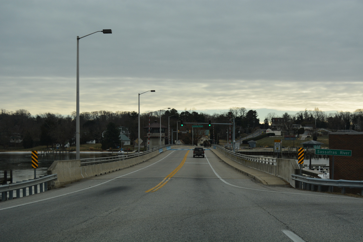
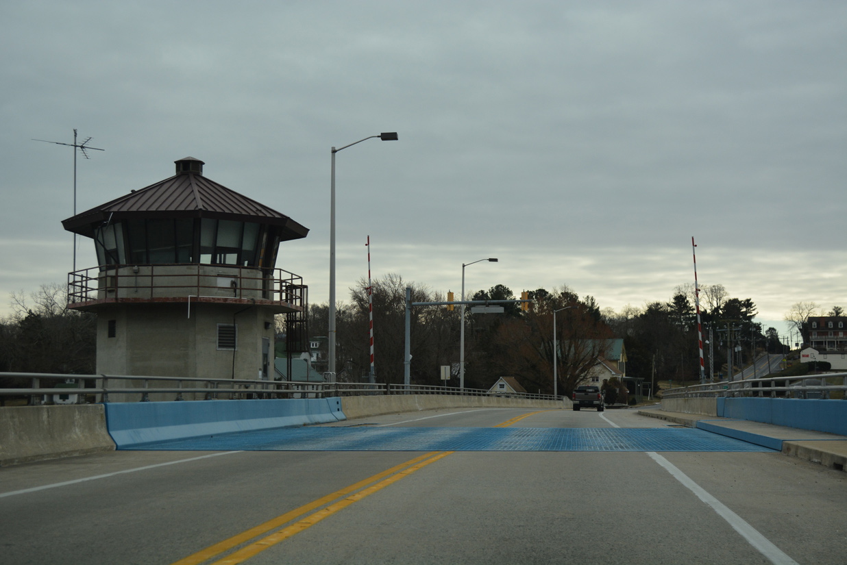
Crossing the Sassafras River along MD 213 (Augustine Herman Highway) south. The 751 foot long bascule bridge was built in 1985 (Baughn, n.d.c).
12/29/17
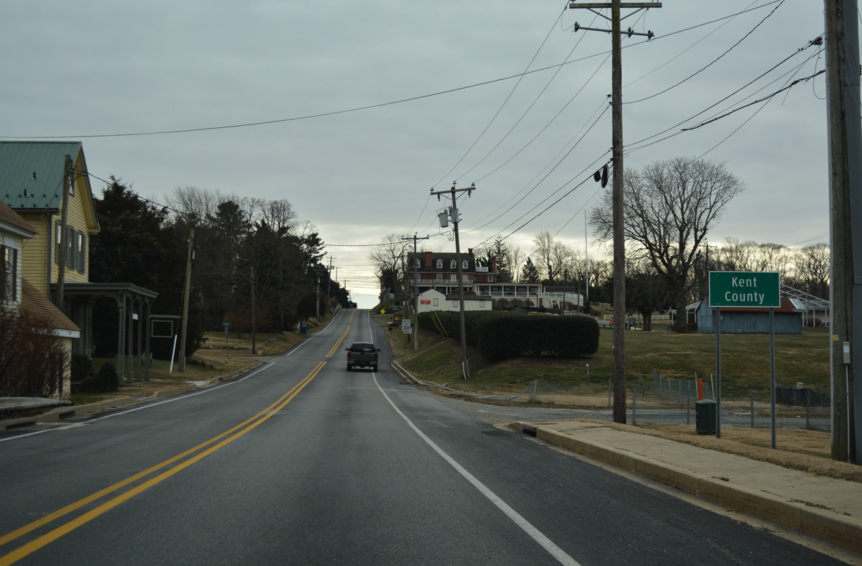
Climbing 60 feet in elevation, MD 213 passes through the Kent County community of Georgetown.
12/29/17
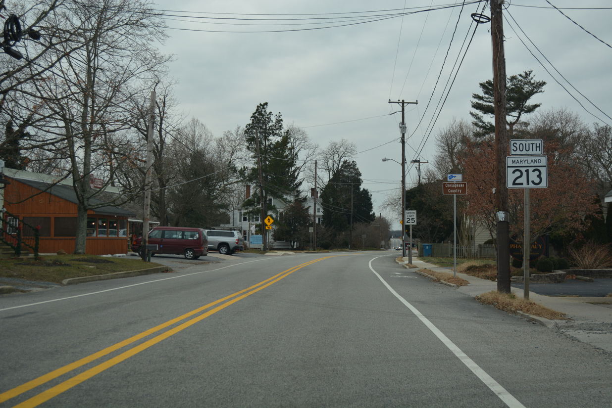
MD 213 next enters Galena along North Main Street.
12/29/17

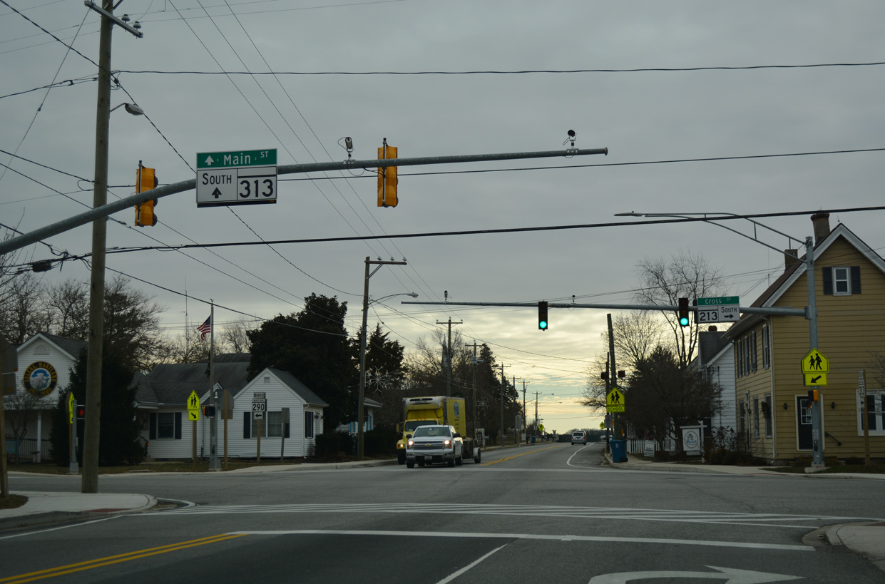
MD 290 south and MD 313 north converge with MD 213 ahead at Main and Cross Streets in the Galena business district.
12/29/17
MD 313 extends Main Street southward from MD 213 to Galena Road and a J-turn intersection with U.S. 301. The state route travels 76 miles from Galena to U.S. 50 at Mardela Springs in Wicomico County.
03/02/04
MD 290 enters Galena 4.44 miles west from MD 299 near Sassfras. Although not acknowledged here, the state route combines with MD 313 south to Chesterville Road.
12/29/17
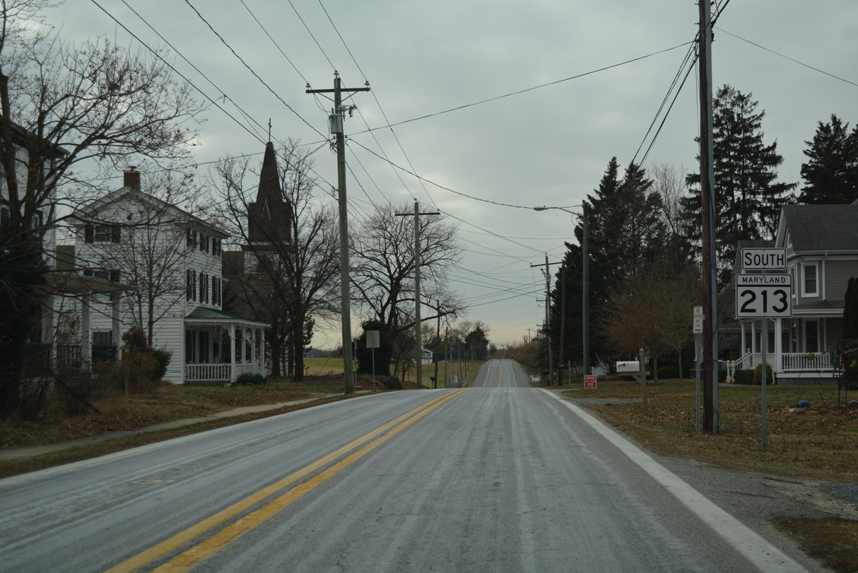
MD 213 (Main Street) turns westward from Galena to Kennedyville.
12/29/17
Vacating the town limits of Galena, MD 213 undulates across Dyer Creek.
12/29/17
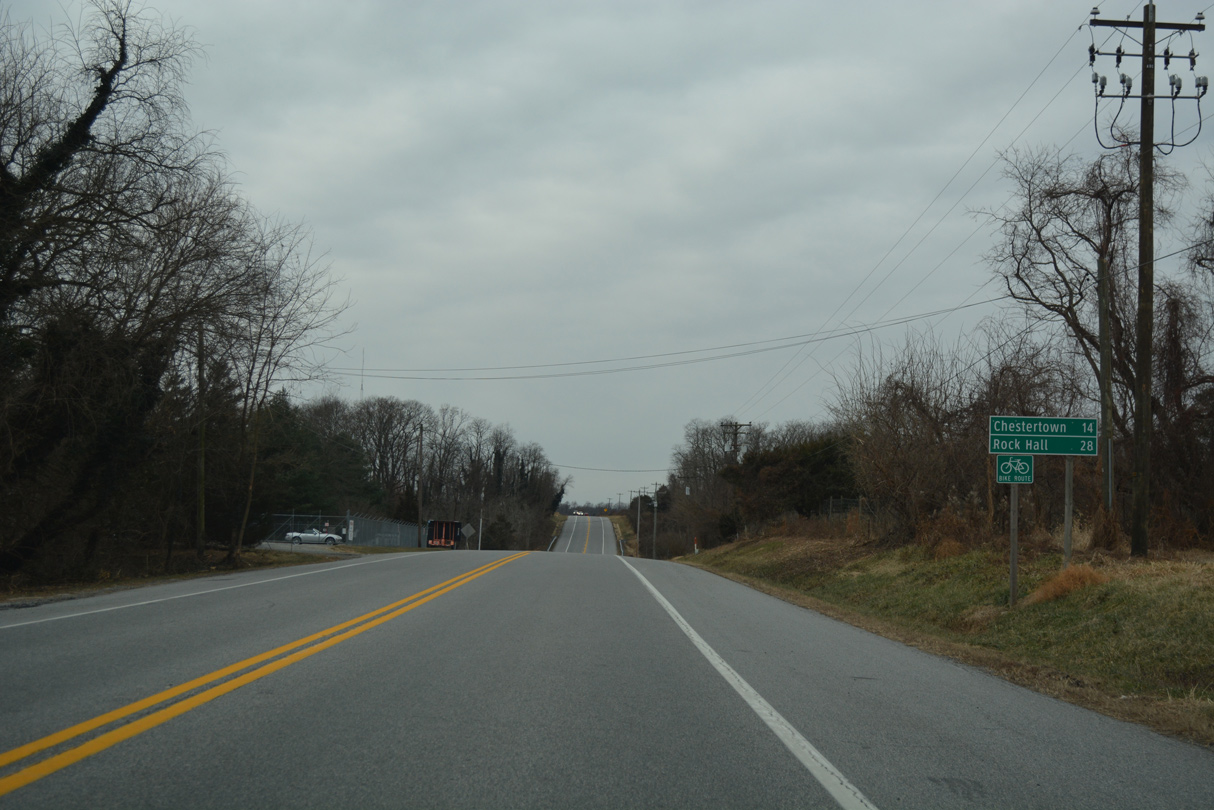
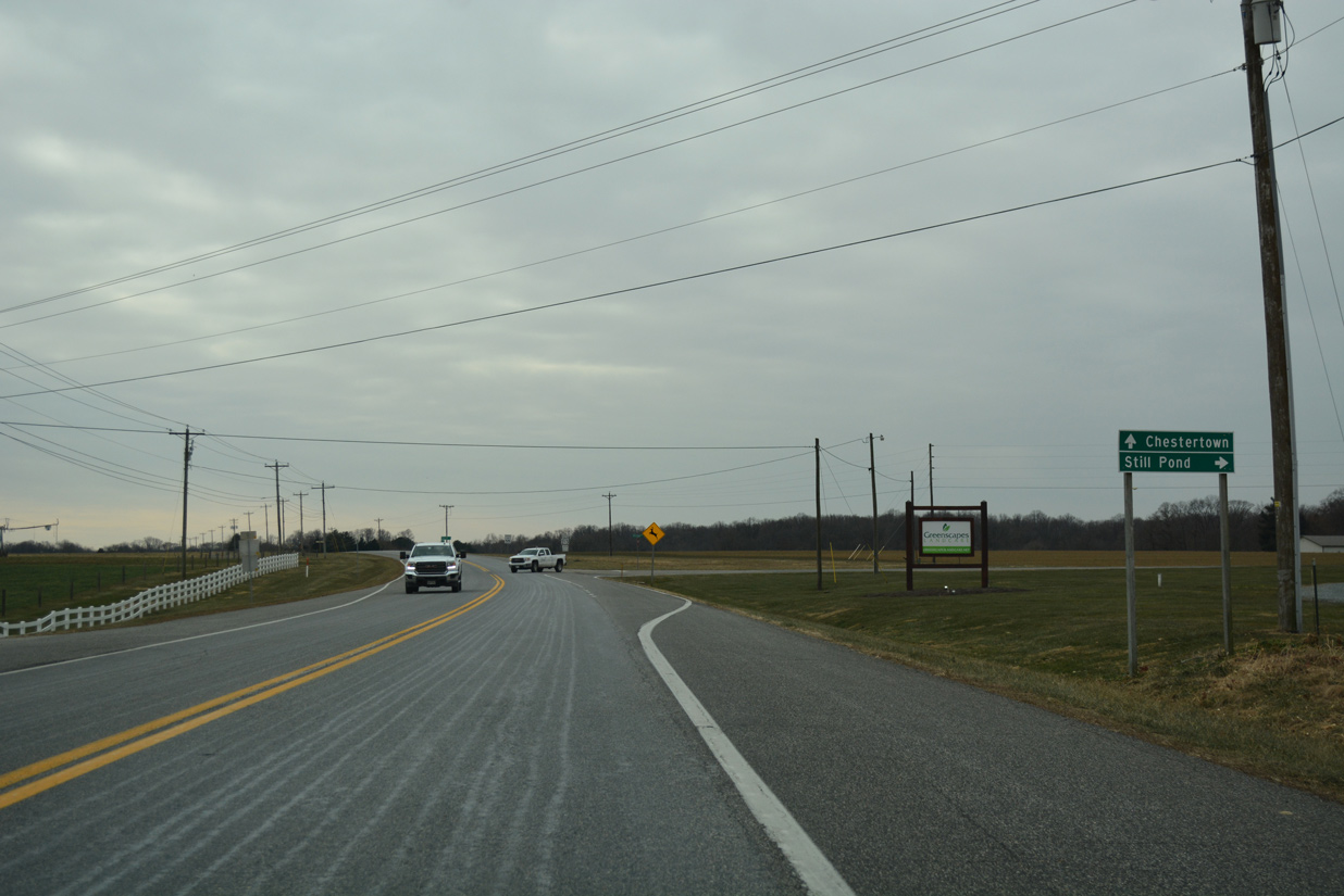
Chestertown, a town of over 5,000, lies 14 miles to the southwest along MD 213 (Augustine Herman Highway). Rock Hall is located 28 miles away via MD 20 on the Kent County peninsula into Chesapeake Bay.
12/29/17
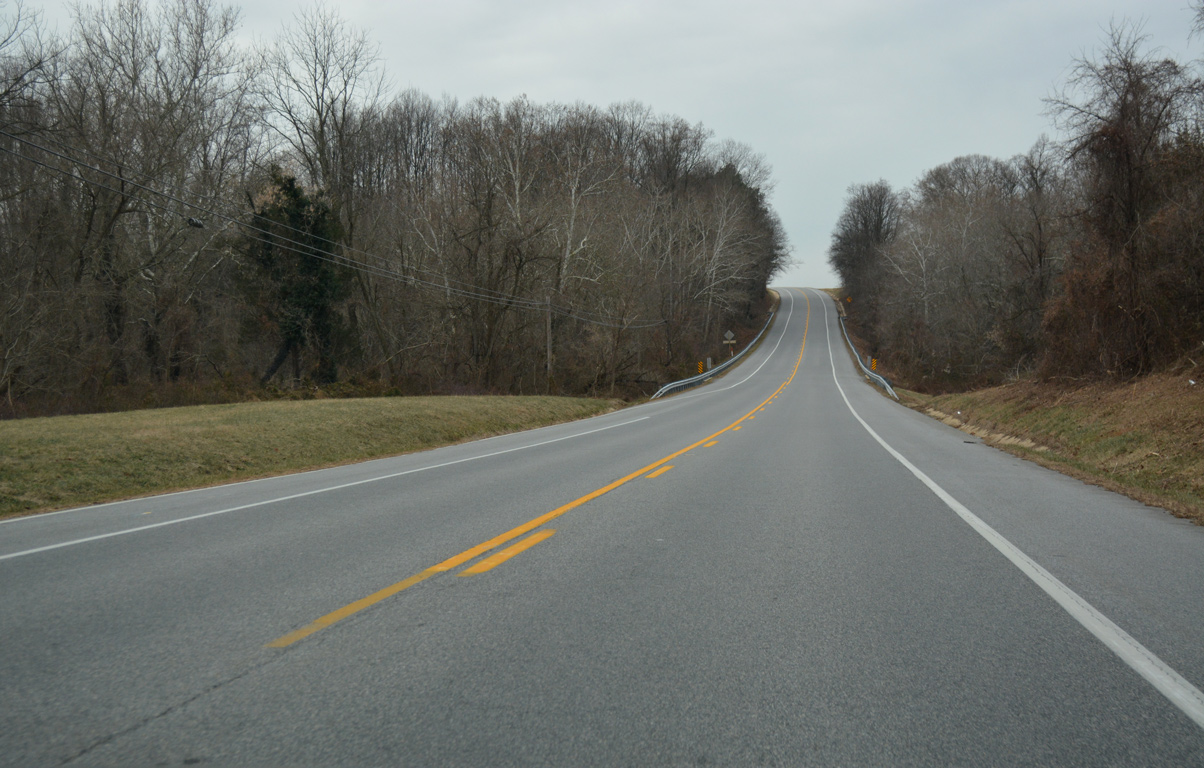
Traversing a wooded area at Woodland Creek along MD 213 southbound.
12/29/17
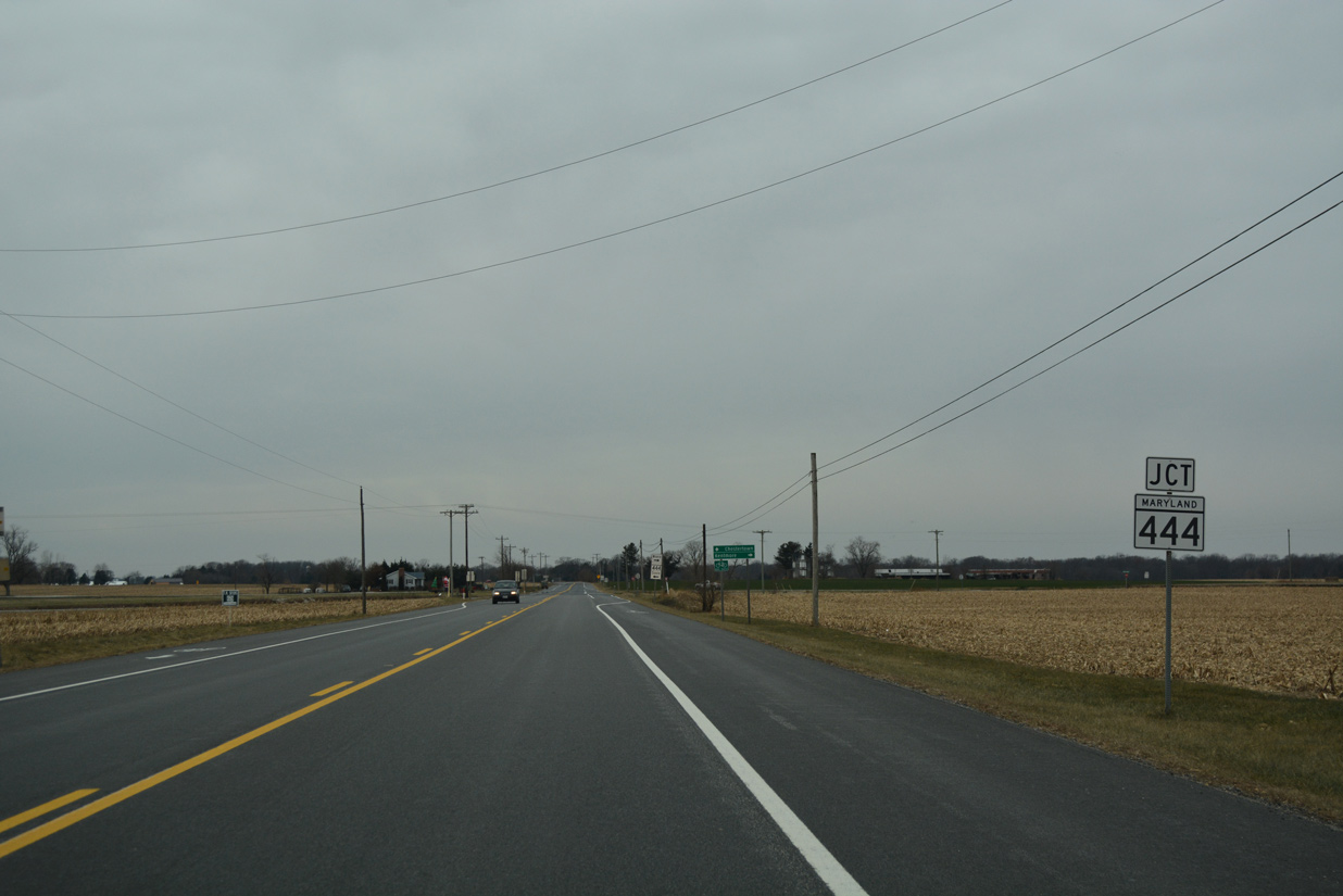
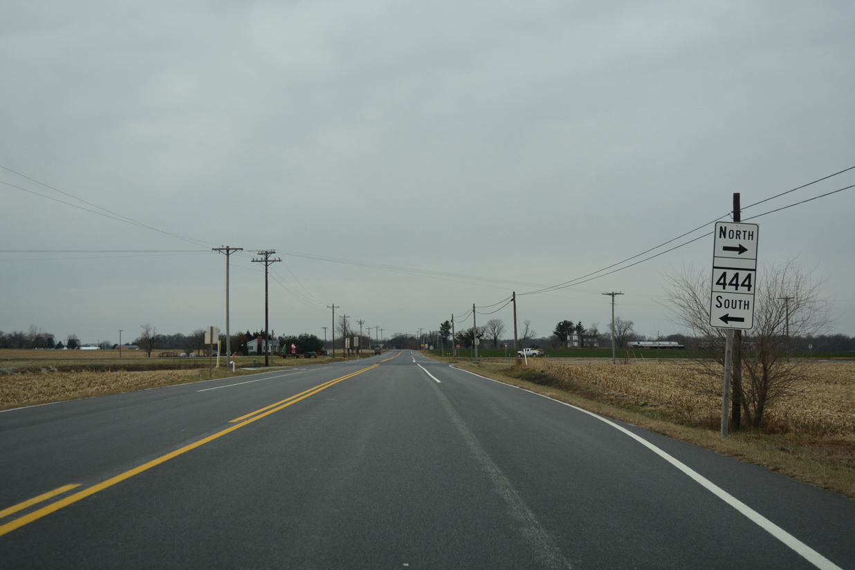
Winding westward from Woodland Creek, MD 213 approaches MD 444 near the rural settlement of Locust Grove.
12/29/17
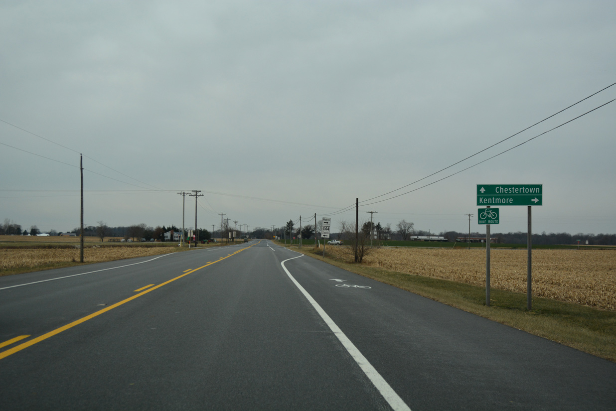
MD 444 spurs northward along Shrewsbury Neck to Kentmore Park along the Sassafras River.
12/29/17
Following Locust Grove Road, MD 444 travels 4.20 miles south to MD 290 near unincorporated Chesterville.
12/29/17
Confirming marker posted west of MD 444 (Kentmore Park Road) and Shallcross Wharf Road (unsigned MD 449).
12/29/17
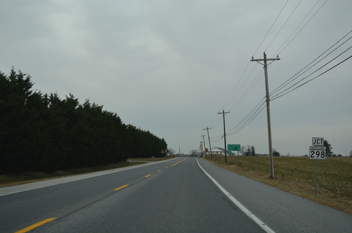
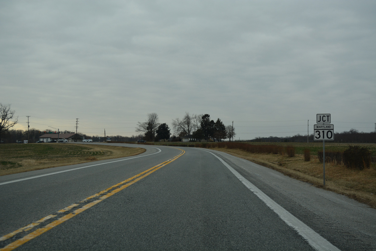
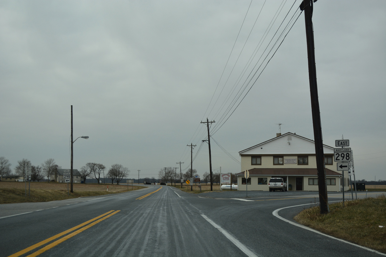
MD 213 proceeds 1.6 miles west from Shallcross Wharf Road to MD 298.
12/29/17
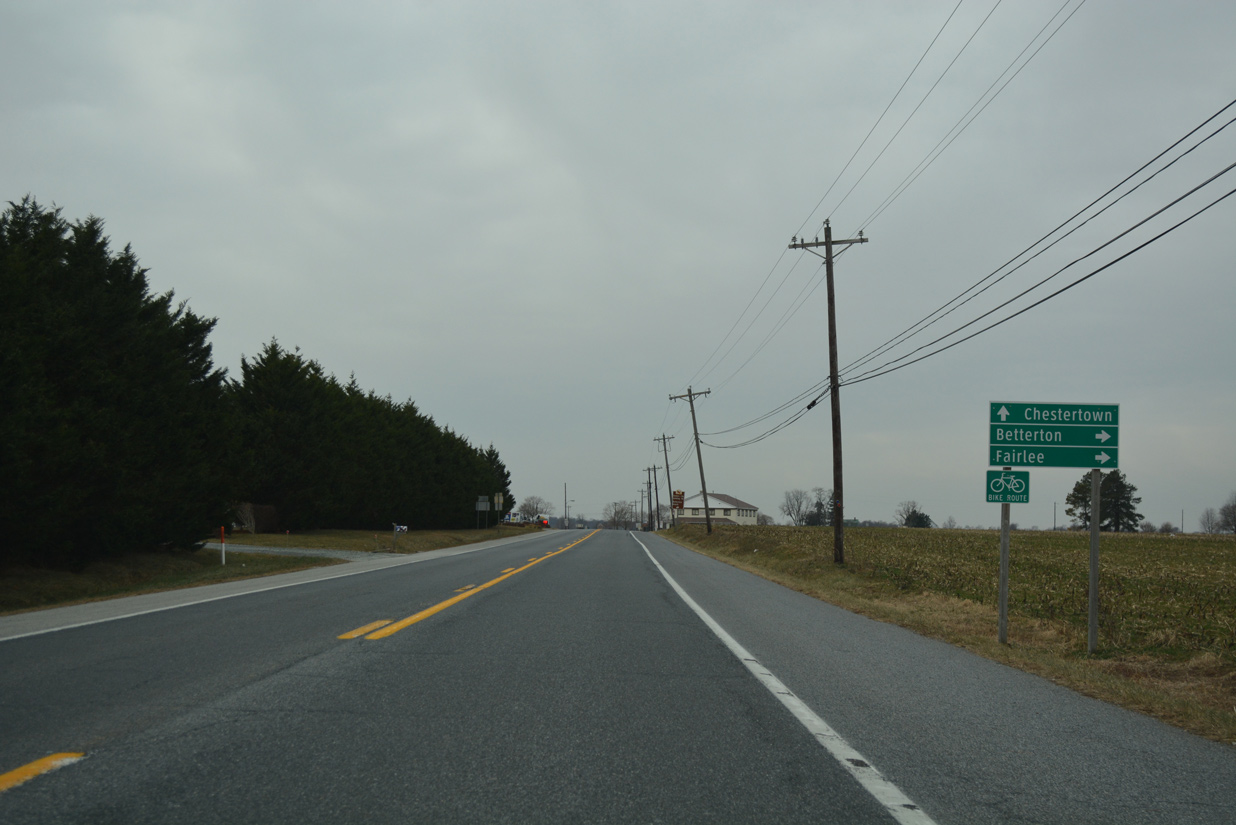
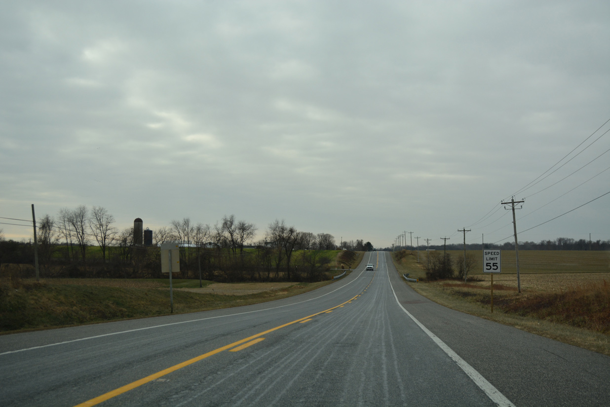
MD 298 meanders 14.1 miles southwest through agricultural areas to Fairlee. Lambs Meadow Road leads MD 298 west 2.5 miles to MD 566 for Still Pond and MD 292 north to Betterton.
12/29/17
MD 298 (Browntown Road) takes a stair stepped route 5.23 miles south from Augustine Herman Highway to MD 291 (River Road).
12/29/17
Confirming marker and sign for Chesapeake Country Scenic Byway after MD 298. The 85.5 mile long scenic byway system includes branches along MD 445 to Rock Hall and MD 18 west to Stevensville.
12/29/17
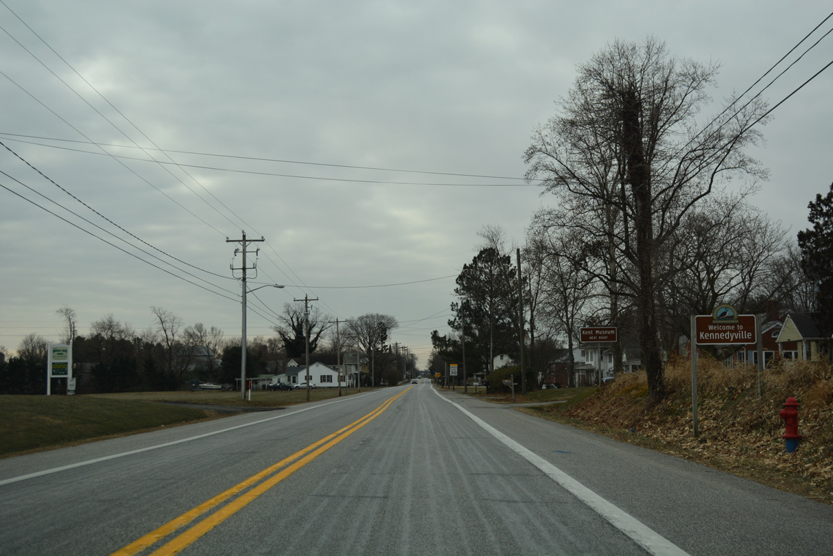
Angling southwest, MD 213 reaches the rural community of Kennedyville.
12/29/17
A reassurance stands south of Kennedyville Road (old MD 448 north / old MD 855 south) in Kennedyville.
12/29/17
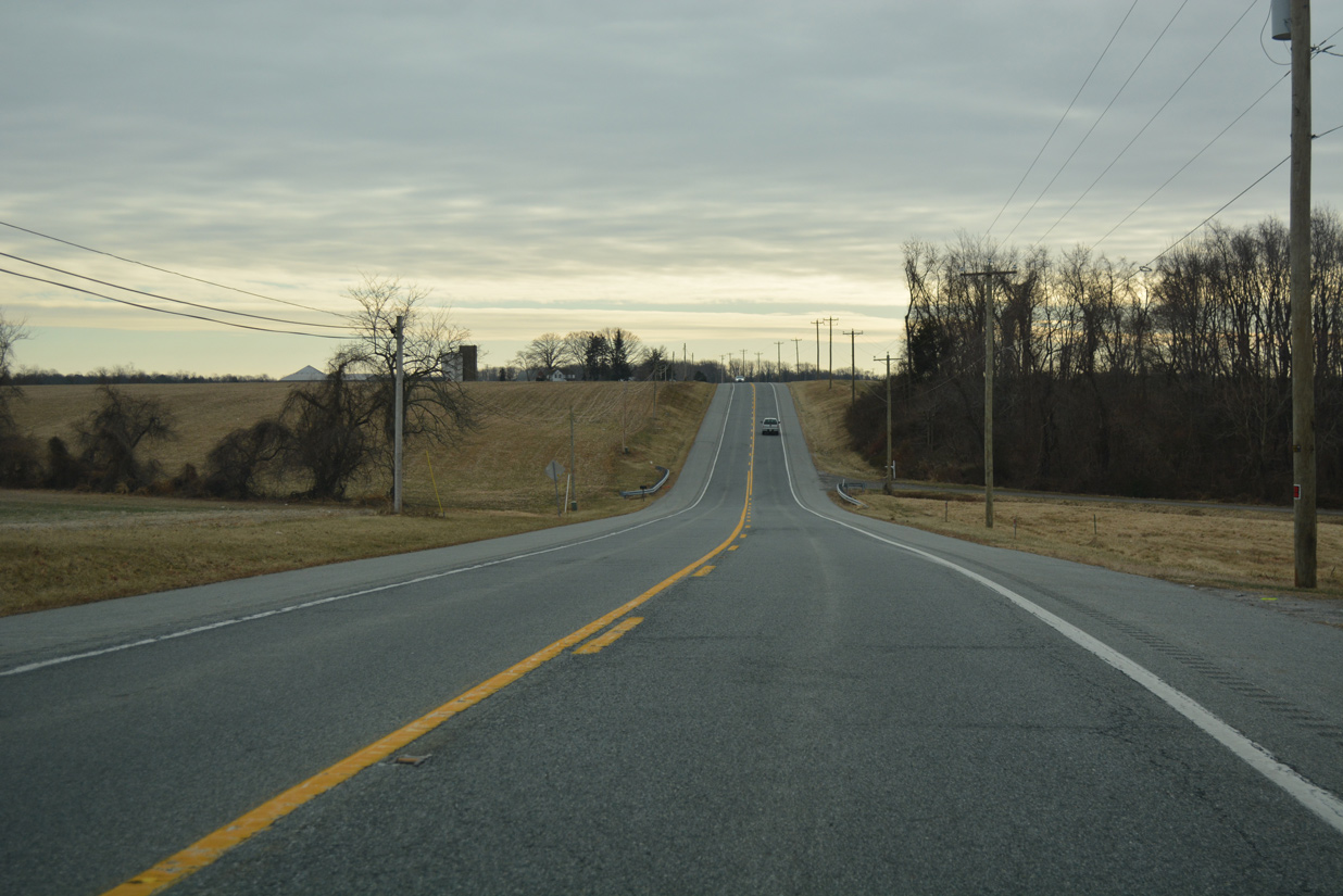
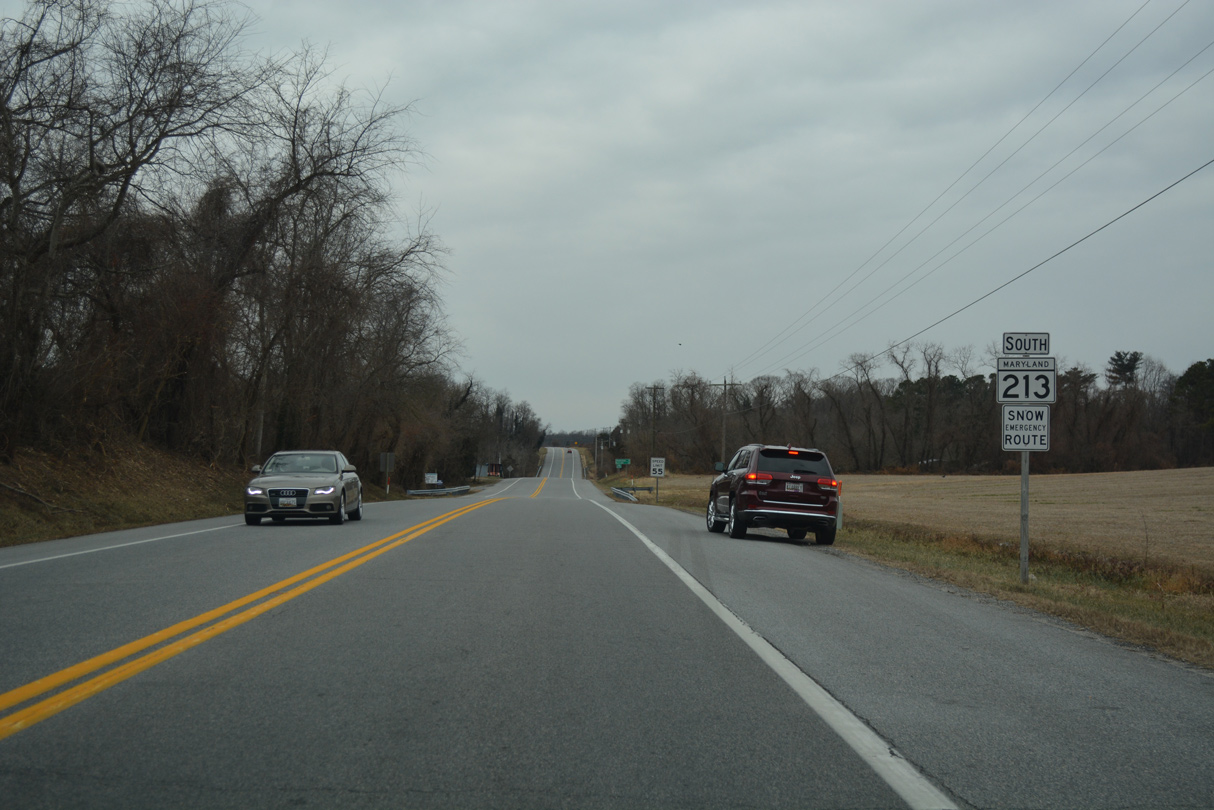
MD 213 (Augustine Herman Highway) runs along a ridge paralleling Morgan Creek beyond Kennedyville.
12/29/17
A guide sign alludes to the former status of Still Pond Road north as MD 292. MD 292 was decommissioned south of MD 298 (Lambs Meadow Road).
12/29/17
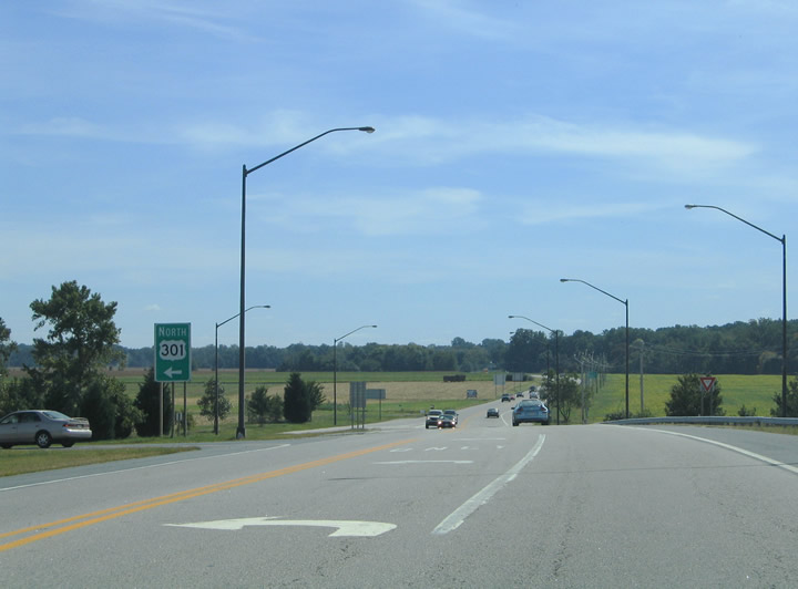
MD 213 (Centreville Road) meets U.S. 301 (Blue Star Memorial Highway) at a parclo interchange with in central Queen Annes County. Completed in the early 1990s, the exchange replaced an at-grade intersection.
09/25/04
MD 213 (Centerville Road) provides a cutoff south from U.S. 301 (Blue Star Memorial Highway) to U.S. 50 east of the separation with U.S. 301 at Queenstown.
09/25/04
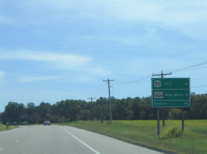
Freeway style distance sign along MD 213 (Centerville Road) southbound listing the distance to U.S. 50 (Ocean Gateway), MD 404 (Queen Anne Highway) and Easton. MD 213 ends just north of MD 404 at MD 662 (Wye Mills Road) in Wye Mills.
09/25/04
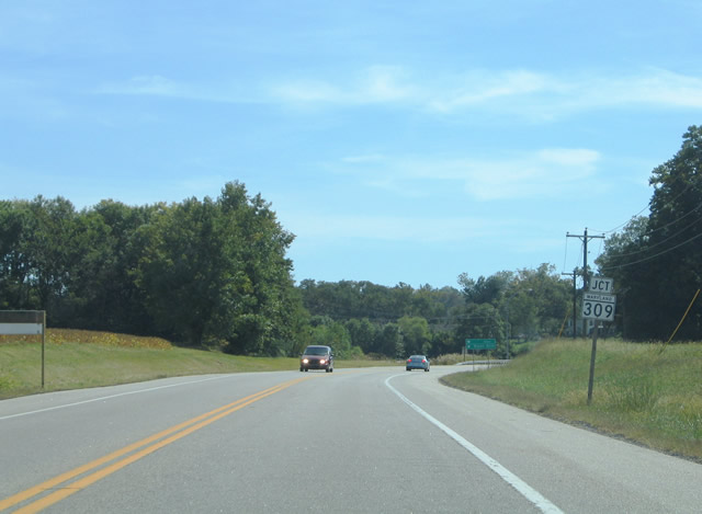
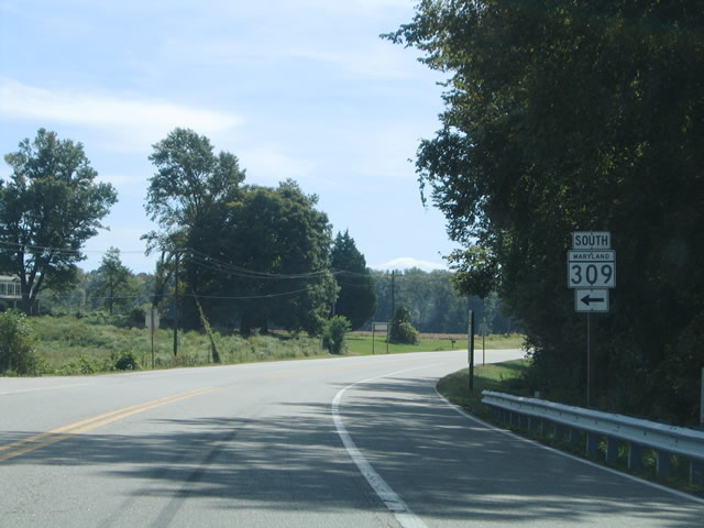
MD 213 (Centreville Road) southbound next meets MD 309 (Starr Road) east. Starr Road angles southeast three miles to Starr and nine miles to MD 404 (Queen Anne Highway) outside the town of Queen Anne.
09/25/04
MD 309 overall travels 18.50 miles in a arc between MD 213 and U.S. 50 near Easton.
09/25/04
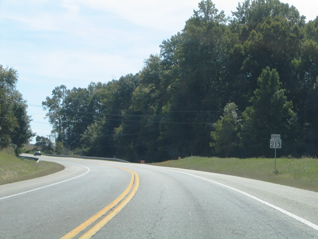
Continuing from MD 309 (Starr Road), MD 213 navigates along a series of sweeping S-curves on the 3.3 mile drive to U.S. 50 (Ocean Gateway).
09/25/04
A regional highway connecting the greater Washington and Baltimore metropolitan areas with Ocean City and the Atlantic Coast, U.S. 50 (Ocean Gateway) branches three miles southward from U.S. 301 to meet MD 213 (Centerville Road) at the ensuing intersection.
09/25/04
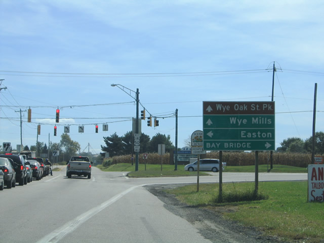
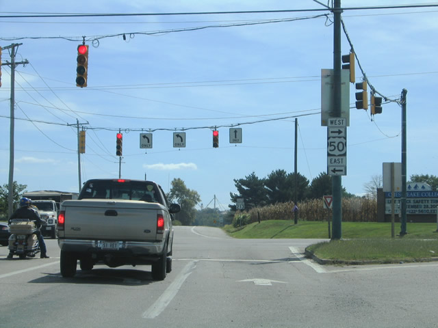
MD 213 (Centreville Road) south at U.S. 50 (Ocean Gateway). U.S. 50/301 travel ten miles west along a freeway from Queenstown to the Chesapeake Bay Bridge. Beyond there the two continue to Annapolis and Bowie. MD 213 continues south one mile to MD 662 (Wye Mills Road), the original U.S. 50 alignment. Wye Oak State Park lies just south of Wye Mills via MD 662.
09/25/04
U.S. 50 turns southward to Easton, Cambridge and Salisbury. Historically U.S. 213 extended from Wye Mills southward to Ocean City along the route.
09/25/04
References:
Baughn, J. (n.d.). MD RT 213 over C&D CANAL, Cecil County, Maryland. BridgeReports.com. https://bridgereports.com/1244618
Maryland State Highway Administration (MDSHA). (2011, September). Historic Context of Maryland Highway Bridges Built Between 1948 and 1960. MDSHA. https://www.roads.maryland.gov/OPPEN/MDBridgeSurvey.pdf
Baughn, J. (n.d.). MD 213 over BOHEMIA RIVER, Cecil County, Maryland. BridgeReports.com. https://bridgereports.com/1240495
Baughn, J. (n.d.). Sassafras River Bridge. Bridgehunter.com. https://bridgehunter.com/md/kent/100000140006010/
Photo Credits:
- Alex Nitzman: 04/13/04, 04/24/04, 07/31/04, 09/25/04, 12/26/17, 12/29/17, 01/02/19, 08/27/21
- Adam Froehlig: 03/02/04
Connect with:
Page Updated Friday November 04, 2022.