
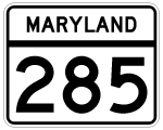
Route 285
MD 285 extends 2.43 miles west from Chesapeake City Road in Delaware to north Chesapeake City. Chesapeake City Road originates at Delaware Route 71 near Summit Bridge and Lums Pond.
Within north Chesapeake City, MD 285 doglegs west along Biddle Street and north along Lock Street while MD 284 provides a cutoff on Hemphill Street. The route ends at MD 213 (Augustine Herman Highway), just north of the Chesapeake City Bridge.
Maryland Route 285 - Average Annual Daily Traffic (AADT)
- 1,112 - between MD 284 and the Delaware line
Source: Maryland Department of Transportation (MDOT) - 2016 Traffic Volume Maps by County
MD 285 (Lock Street) stems east from MD 213 to Hemphill Street through a wooded area south of Long Creek.
12/26/17
Lock Street turns south at Hemphiill Street, the historic alignment of U.S. 213. Hemphill Street diverges from MD 285 southward as MD 284 from the ensuing intersection.
12/26/17
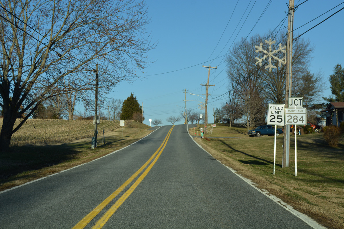
MD 284 comprises just a 0.25 mile route along Hemphill Street in north Chesapeake City between Lock and Biddle Streets along MD 285.
12/26/17
The Chesapeake and Delaware (C & D) Canal comes into view as MD 285 turns east from Lock Street (old U.S. 213) to Biddle Street.
12/26/17
Biddle Street leads MD 285 east along the C & D Canal front to the Chesapeake City town line.
12/26/17
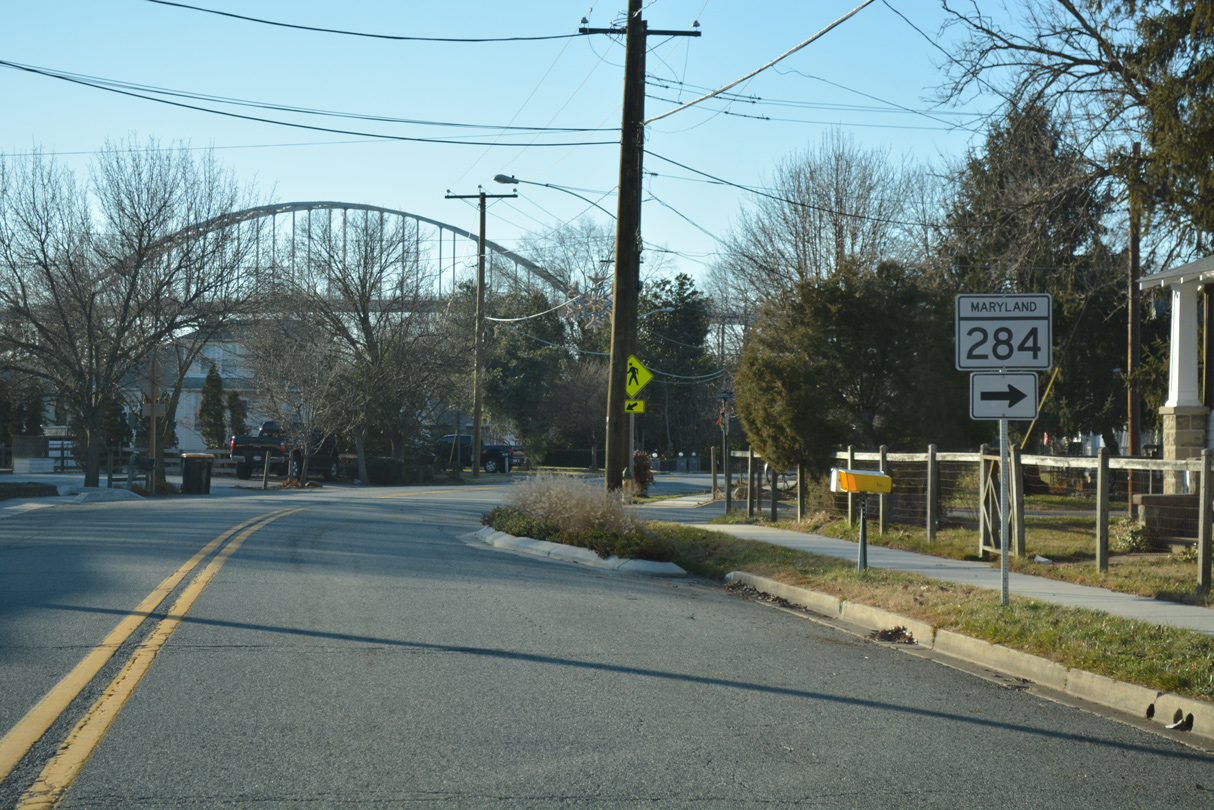
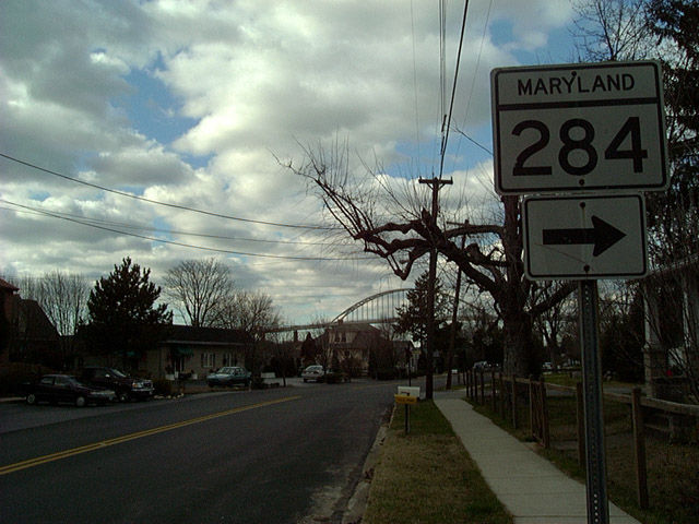
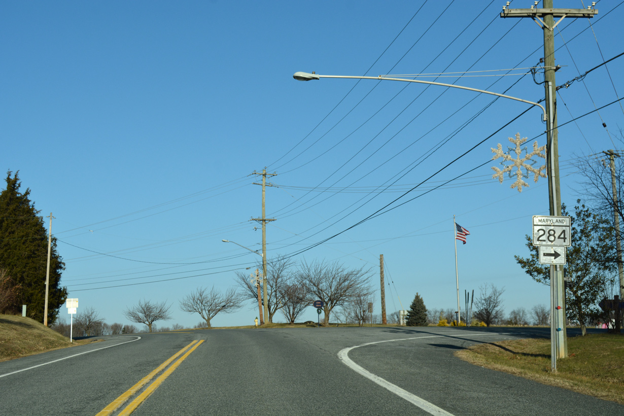
MD 284 (Hemphill Street) south concludes at an unmarked intersection with MD 285 (Biddle Street).
12/26/17
MD 285 (Biddle Street) leaves the Chesapeake City street grid beyond this traffic island and Lewis Street.
12/26/17
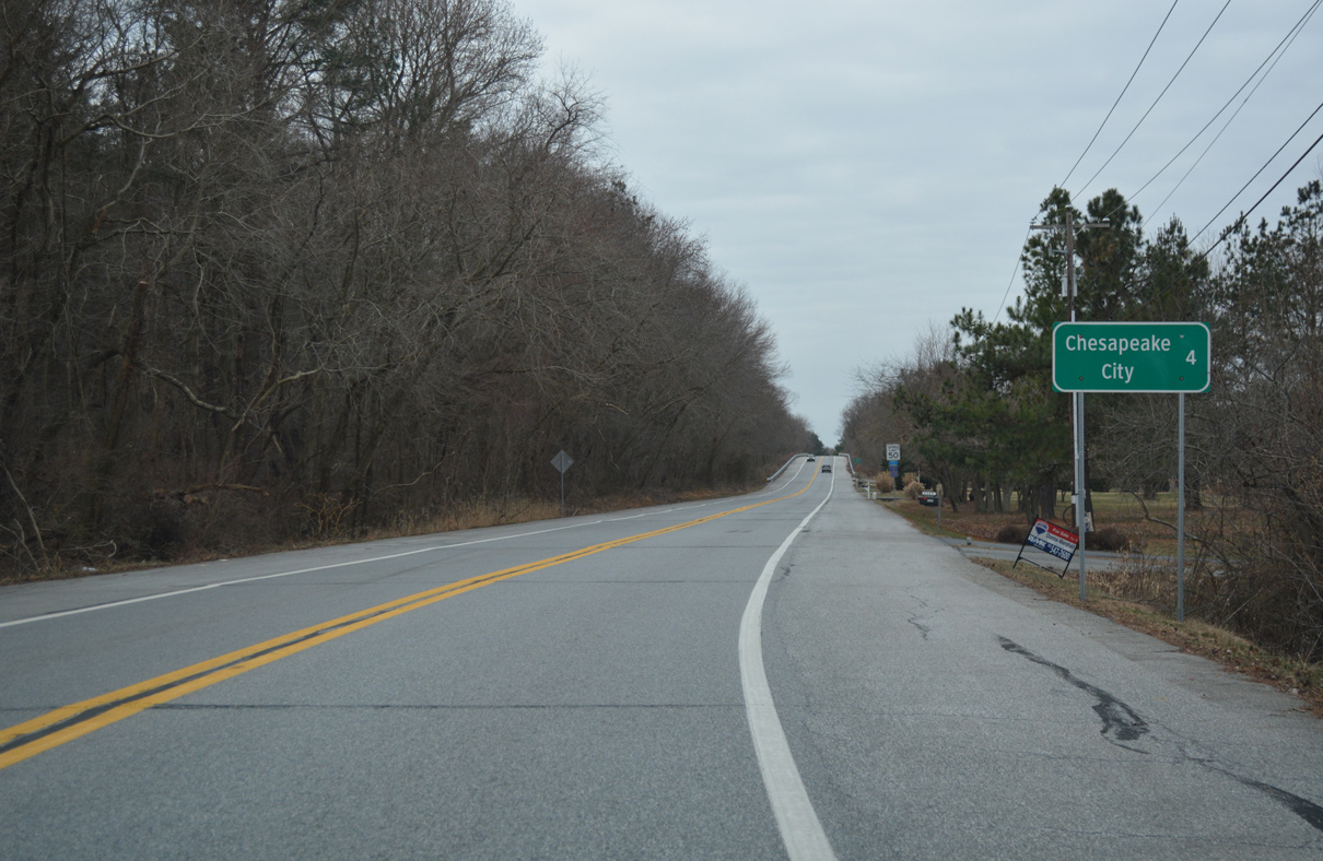
Chesapeake City Road (Road 399) originates at SR 71 (Red Lion Road) by Lums Pond State Park. Together with MD 285, Chesapeake City Road leads motorists four miles west to the town of Chesapeake City.
12/29/17
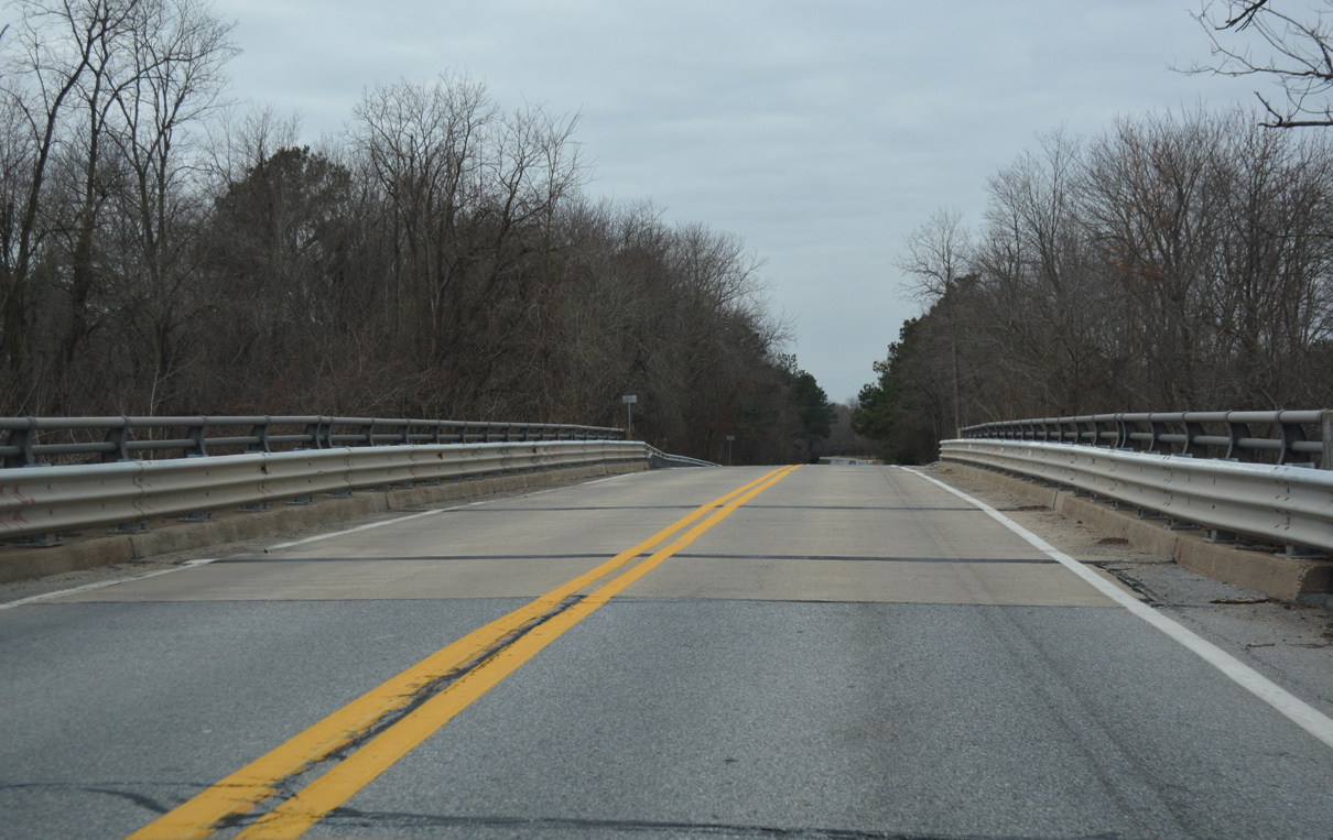
A grade separation takes Chesapeake City Road (Road 399) across the north approach of the Summit Bridge (SR 71/896).
12/29/17
The 2.68 mile route of Chesapeake City Road in Delaware concludes just west of Steele Road (Road 398) at the Maryland state line.
12/29/17
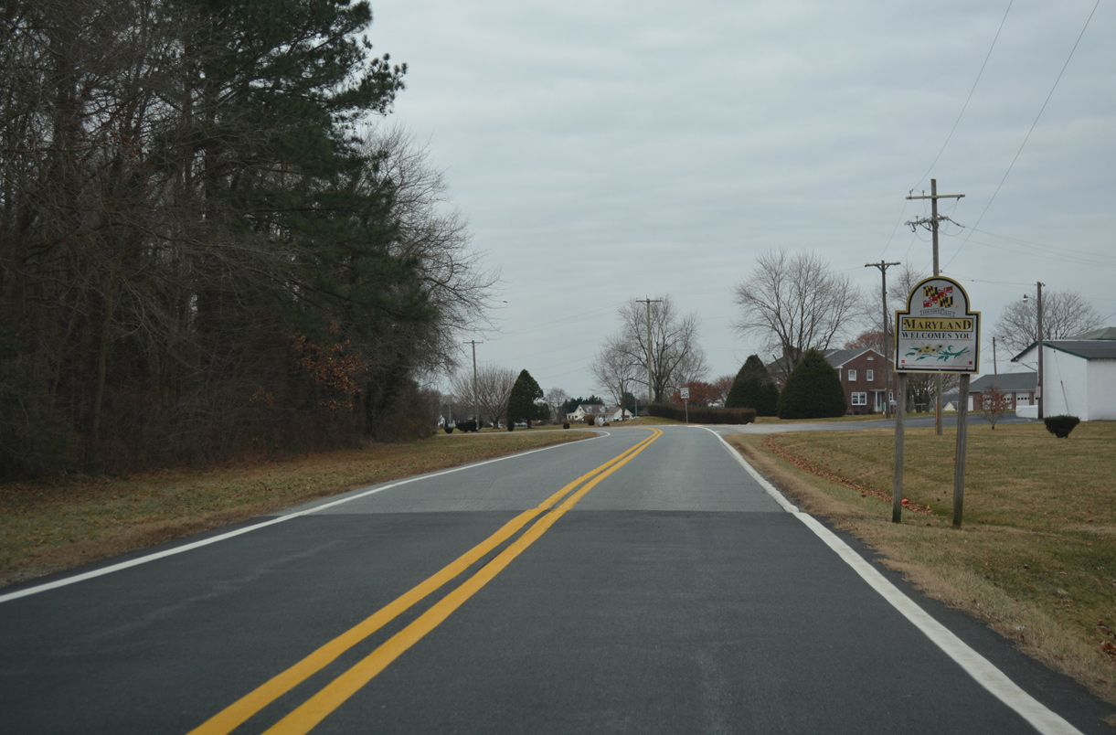
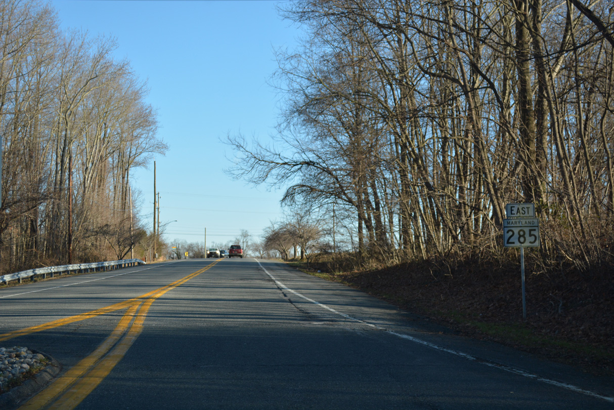
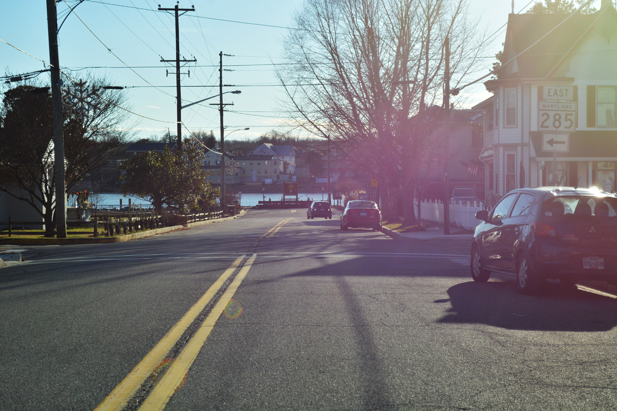
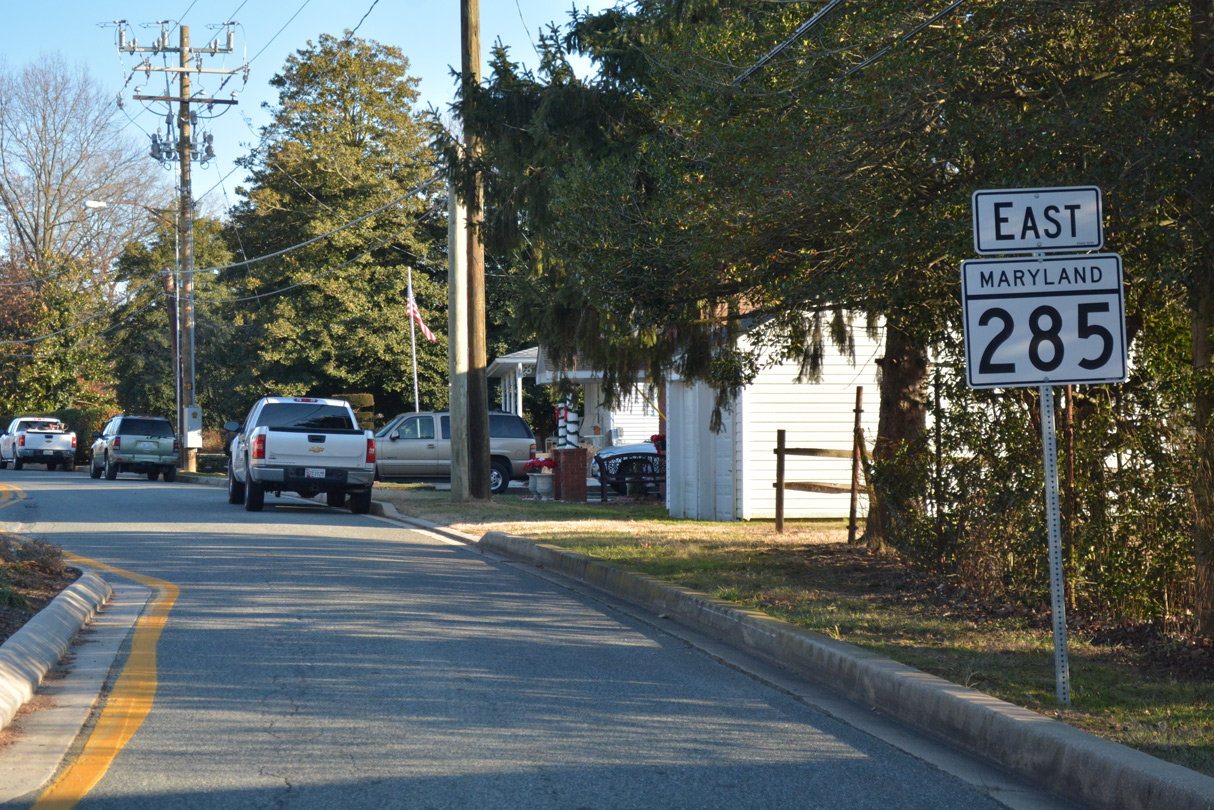
MD 285 (Biddle Street) begins from the Delaware line and travels 1.17 miles west to the Chesapeake City corporate limits. Knights Corner Road ties into Biddle Street ahead from MD 213 and Elk Forest Road to the northwest.
12/29/17
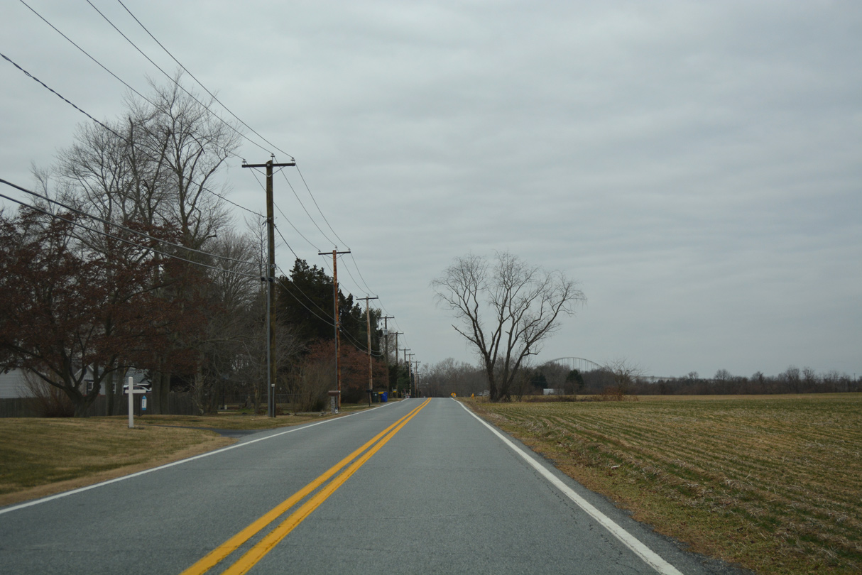
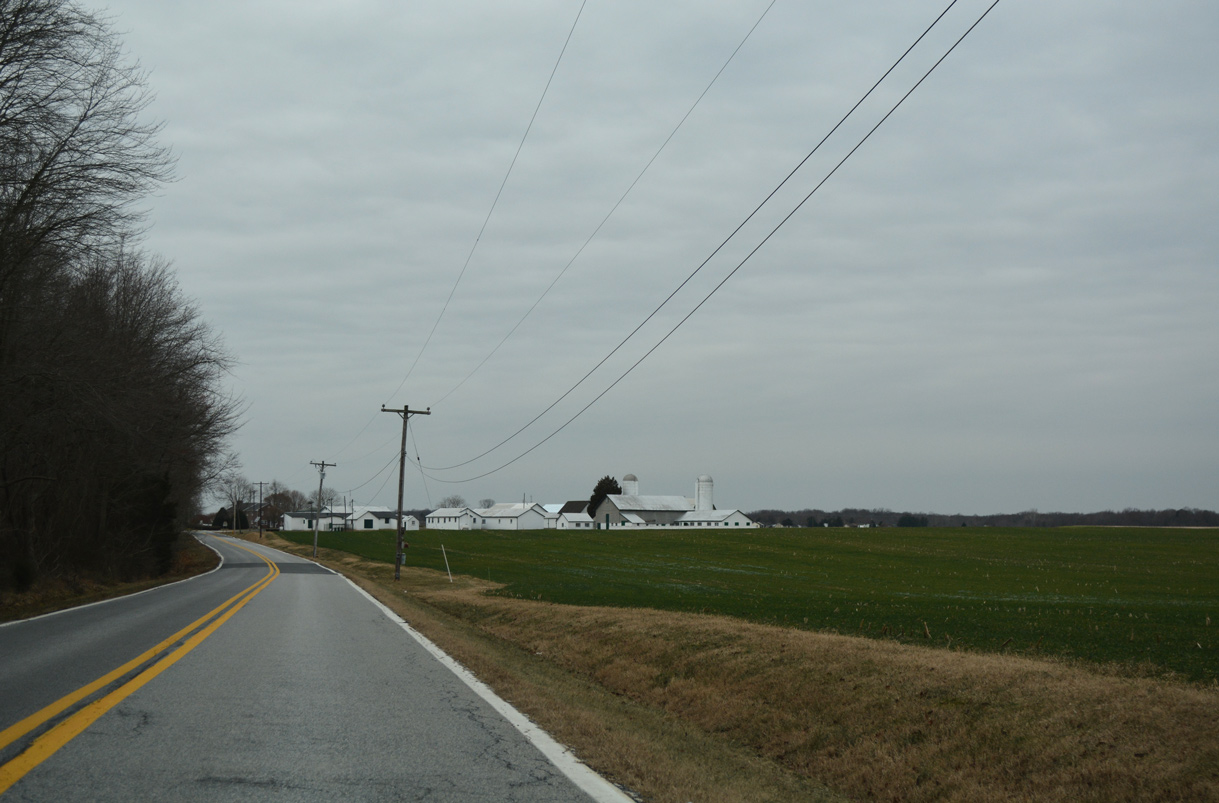
MD 285 straddles farm land to the north and residential lots facing the Chesapeake and Delaware (C & D) Canal to the south.
12/29/17
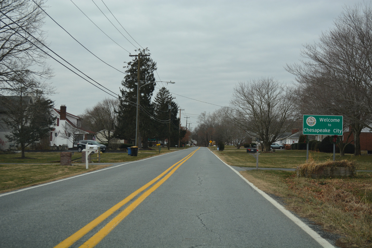
Biddle Street enters the town of Chesapeake City just west of Foard Lane.
12/29/17
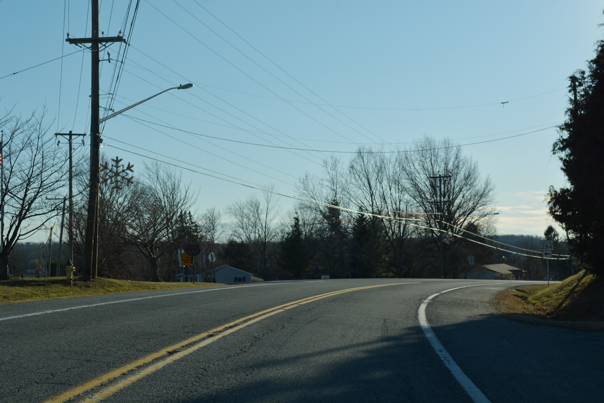
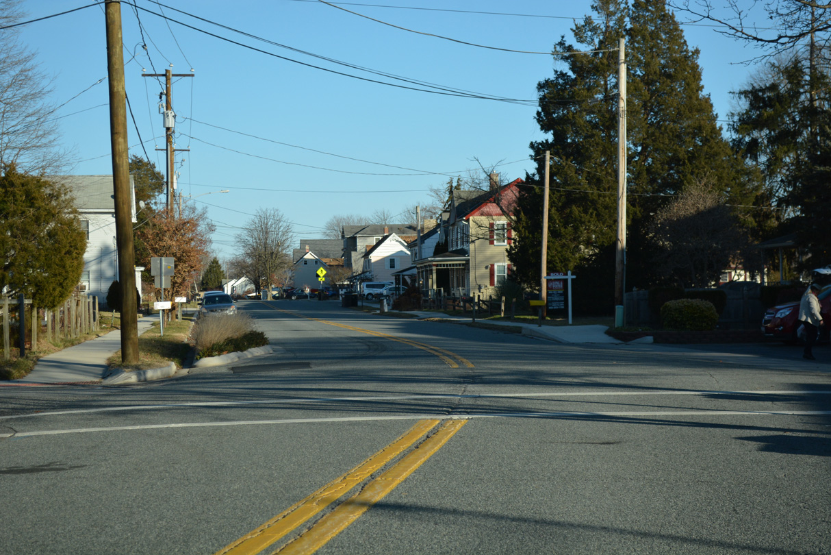
Continuing through the Chesapeake City residential street grid, MD 285 intersects the south end of MD 284 (Hemphill Street).
12/29/17
Traffic islands and chicanes were added along MD 285 (Biddle Street) between Lewis Street and MD 284 (Hemphill Street) in Chesapeake City. This view looks at Biddle Street prior to the streetscaping project.
12/21/01
MD 285 turns north onto Lock Street at this trailblazer for MD 213. MD 213 spans the C & D Canal in the background across the Chesapeake City Bridge.
12/26/17
MD 285 (Lock Street) north at Cecil Street. Lock Street is the pre-1949 alignment of U.S. 213. Opening then was the Chesapeake City Bridge.
12/26/17
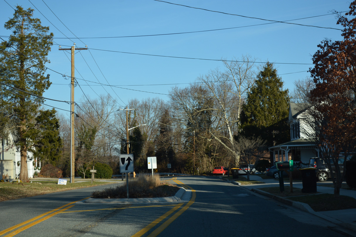
MD 285 (Lock Street) converges with the north end of MD 284 (Hemphill Street) 0.15 miles beyond Moss Street.
12/26/17
Lock Street (MD 285) overtakes Hemphill Street for 0.14 miles from the north end of MD 284.
12/26/17
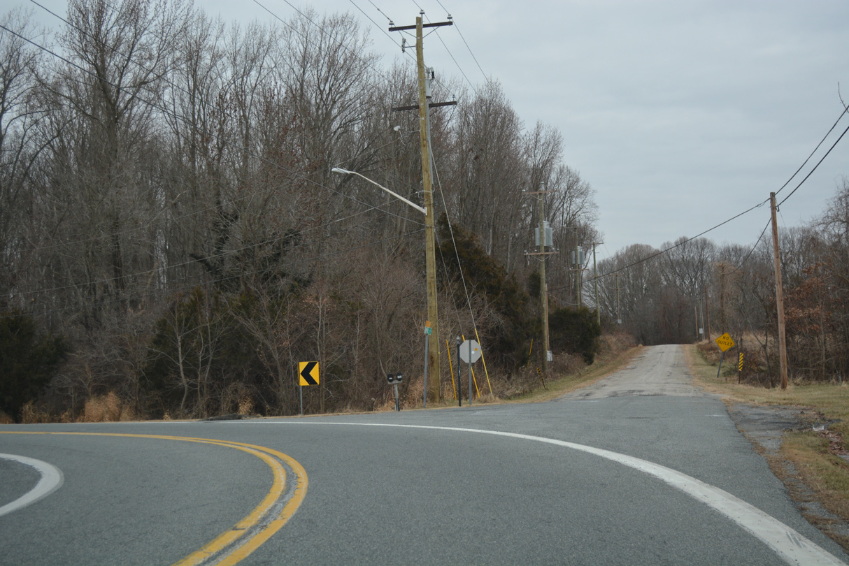
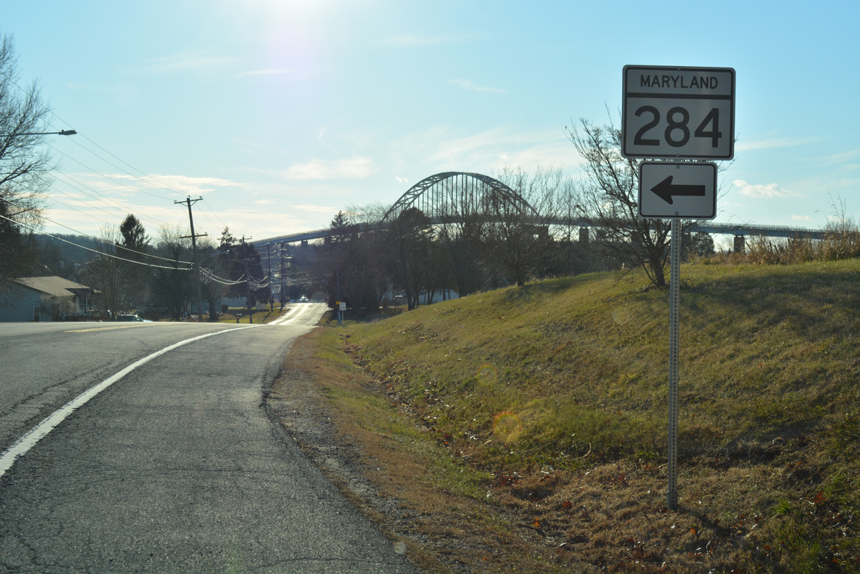
MD 285 bends west to connect with MD 213 (Augustine Herman Highway) from a local section of Hemphill Street (old U.S. 213).
12/29/17
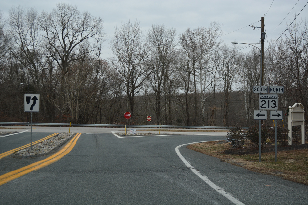
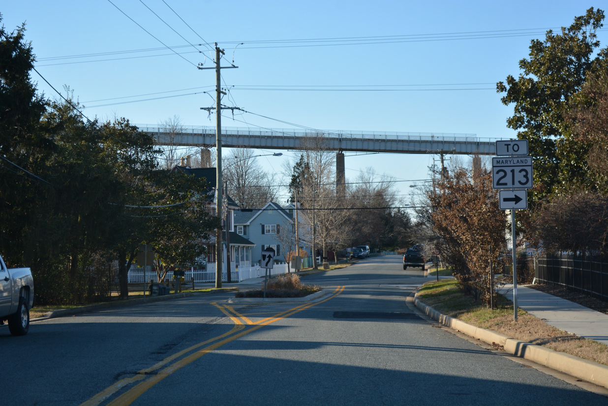
MD 285 concludes at MD 213 (Augustine Herman Highway) just north of the Chesapeake City Bridge. MD 213 leads four miles north to Elkton and ten miles south to Cecilton.
12/29/17
Photo Credits:
- Alex Nitzman: 12/21/01, 12/26/17, 12/29/17
Connect with:
Page Updated Wednesday December 12, 2018.