
State Route 116

Maine State Route 116 travels 56.39 miles north from SR 16 in Old Town to SR 11 & SR 157 in Medway. The rural route mostly parallels the Penobscott River serving the towns of Howland and Lincoln along the way.
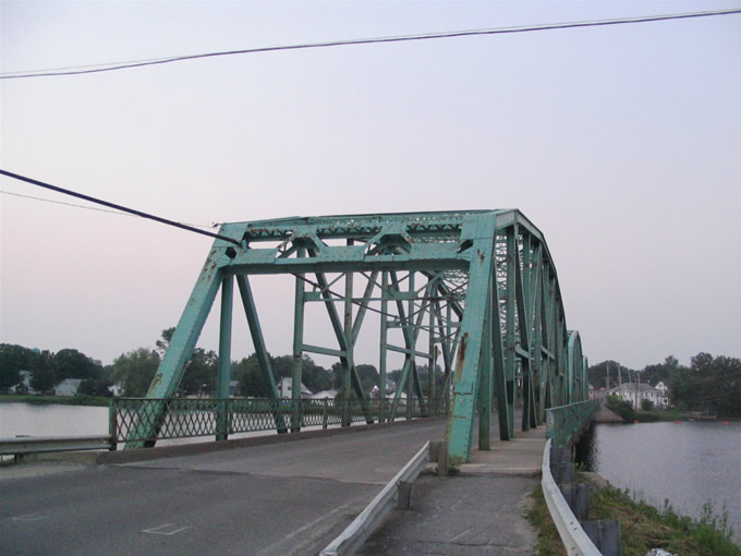
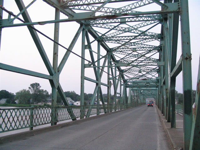
Until 2012, Maine 116 spanned the Piscataquis River along a two lane truss bridge in Howland. Completed in 1929 by the American Bridge Company, the span carried Coffin Street north from Maine 6 & 155 (Lagrange Road) to Water Street. A new nondescript deck girder bridge was constructed just to the east.
06/27/05
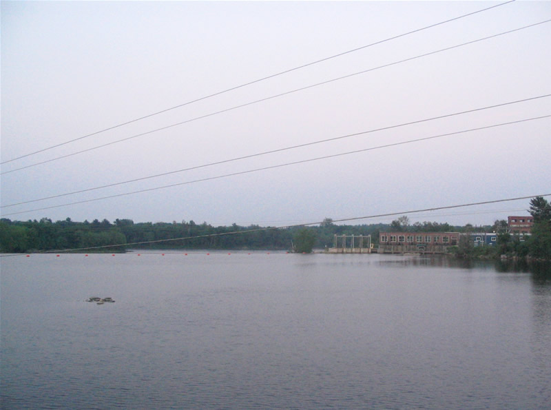
Looking east at the mouth of the Piscataquis River from the Maine 116 (Coffin Street) bridge. Howland Dam divides the Piscataquis from the larger Penobscot River.
06/27/05

Peering upriver from Maine 116 at the Piscataquis in Howland. Local roads parallel both banks of the water to Medford and Medford Center respectively.
06/27/05
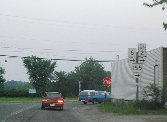
SR 6/155 (Lagrange Road) travel 11.4 miles from Lagrange to Howland. SR 116 (Coffin Street) joins the two for 0.4 miles through Howland. SR 116 straddles the Penobscot River from the Old Town vicinity northward to Chester. SR 6/155 continue to their split at U.S. 2 in West Enfield.
The at-grade intersection here was replaced with a roundabout in 2012. The building to the right was demolished during the project.
06/27/05

SR 6-116-155 follow a short overlap southeast to the Penobscot River where they split to West Enfield (SR 6/155 east) and Argyle (SR 116 south). I-95 (Exit 217) lies 0.75 miles to the west.
This at-grade intersection was replaced with a roundabout in 2012 as part of the new Piscataquis River bridge for SR 116.
06/27/05
Maine 116 (Southgate Road) turns west away from the Penobscot River to straddle northern reaches of Stillwater River to Pea Cove and Maine 16 (Bennoch Road).
04/03/14
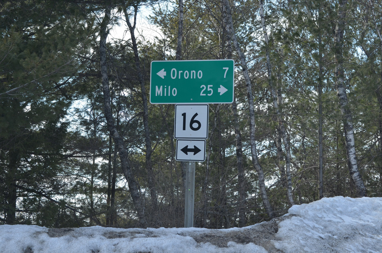
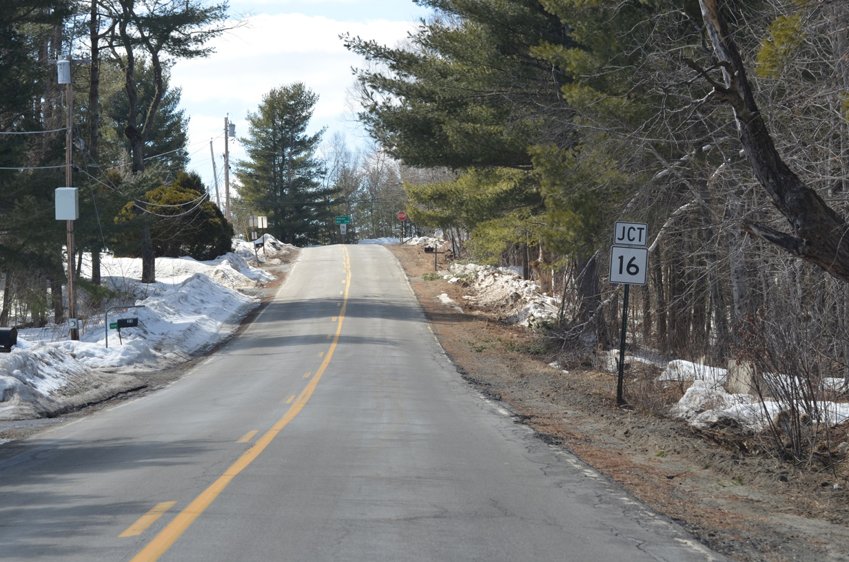
Maine 16 (Bennoch Road) leads south from Old Town and the end of Maine 116 seven miles to Orono and north 25 miles to Milo. A half diamond interchange lies nearby with access to I-95 south.
04/03/14
Photo Credits:
- Alex Nitzman, Carter Buchanan: 06/27/05
- I.C. Ligget: 04/03/14
Connect with:
Page Updated Monday February 02, 2015.