
Maine Road & Highway Photo Guides

Sitemap to road and highway photo guides for the Pine Tree State.
Interstates
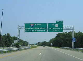
 Interstate 95
412 photos
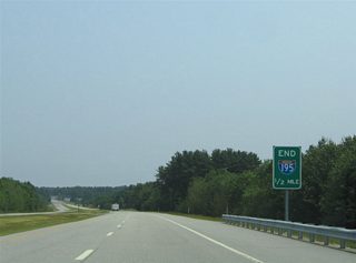
 Interstate 195
26 photos
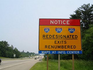
 Interstate 295
143 photos
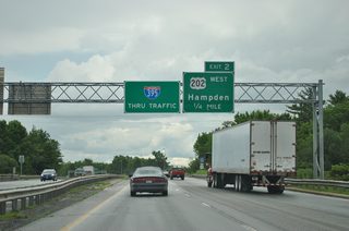
 Interstate 395
40 photos
 Interstate 495 - Falmouth Spur
16 photos
U.S. Highways

 U.S. 1 Bypass - Portsmouth / Kittery
14 photos
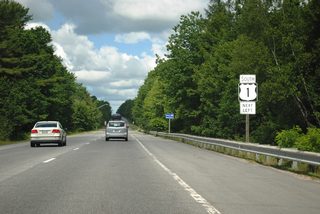
 U.S. 1
83 photos
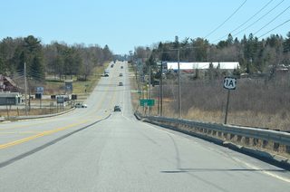
 U.S. 1A
24 photos
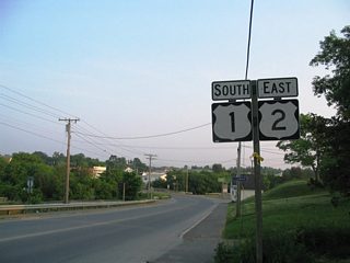
 U.S. 2
35 photos
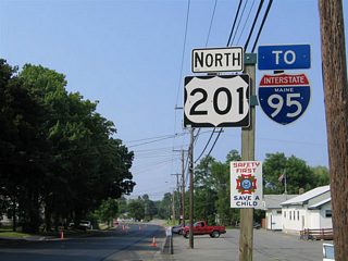
 U.S. 201
11 photos
 U.S. 202
33 photos
State Routes
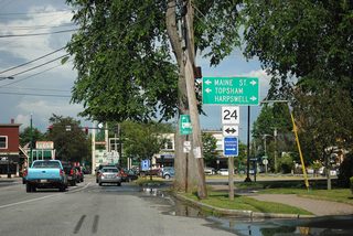
 State Route 24
11 photos
 State Route 116
9 photos
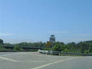
 State Route 196
13 photos
 State Route 197
29 photos
Photo Coverage of Roads and Highways in Maine
AARoads documents highways and roads across Maine with route-by-route photo guides organized by direction of travel. Coverage includes Interstate Highways, U.S. Routes and Maine State Routes.
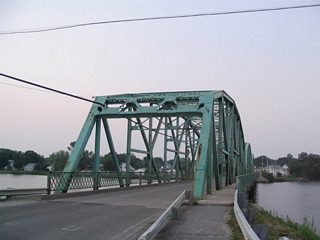
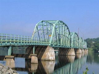
Photo guides focus on highway signage, interchanges, route markers, city limit signs, county lines, and notable points of interest along each route. The Maine Turnpike guides feature extensive interchange and exit coverage, while rural routes emphasize bridges, shield assemblies and intersection signage.
New and updated photos for Maine routes are added periodically and cataloged on the updates page.
Photographic Contributors
Contributions and photography for the Maine guides from Alex Nitzman, Andy Field, Carter Buchanan and Ian Ligget.
Last updated: Friday December 31, 2021