
Highway 184 - Prentiss

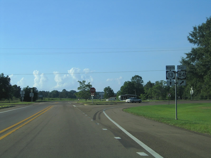
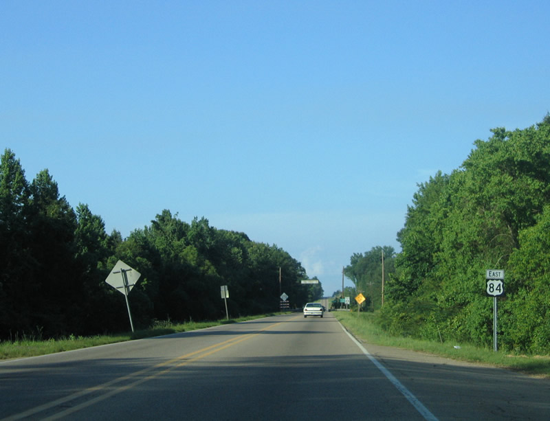
Highway 184 through the Jefferson Davis County seat of Prentiss is a 4.21 mile long route south of U.S. 84. U.S. 84 bypasses the town to the north along a controlled access bypass with an interchange at Highway 13.
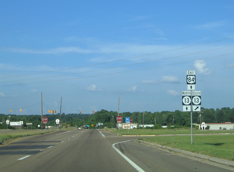
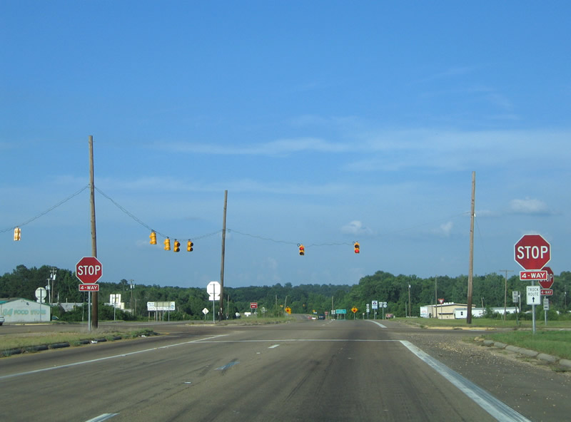
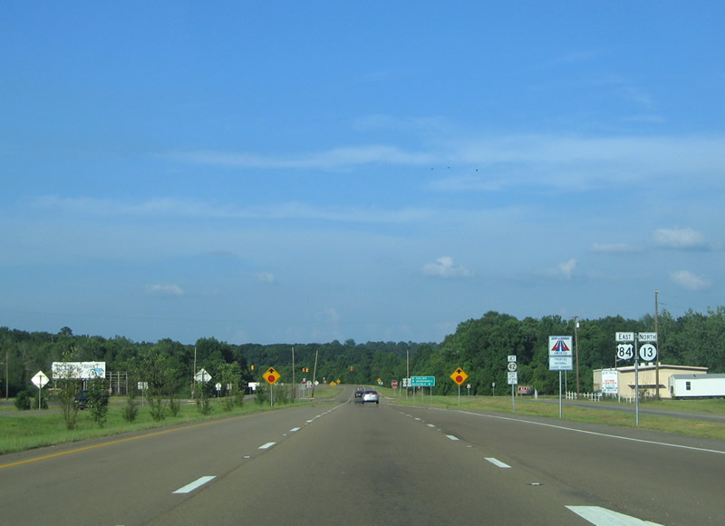
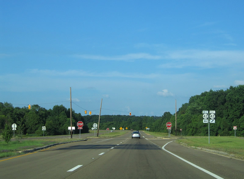
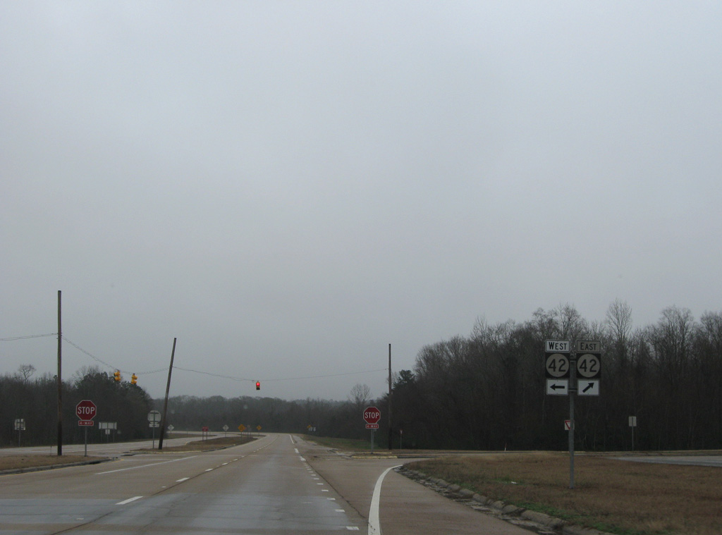
MS 184 branches 1.39 miles east from U.S. 84 to the intersection of MS 13 and Columbia Avenue (unsigned MS 937). Columbia Avenue represents the former alignment of both MS 13 and U.S. 84 to the Prentiss business district. MS 13/184 combine along an older bypass for 2.10 miles to the north end of Columbia Avenue.
An implied overlap returns MS 184 to U.S. 84 via MS 13. The original route northeast across White Sand Creek to U.S. 84 near Granby Road is discontinuous. However the 0.79-mile long section is still inventoried by MDOT as MS Highway 184.
2.10 mile long overlap with Highway 13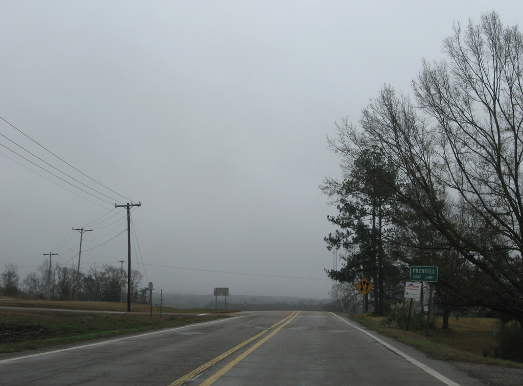
01/05/09
01/05/09
06/12/04
01/05/09

06/12/04
01/05/09
01/05/09
06/12/04
06/12/04
References:
Cochran, H. (2025, June 25). Whitesand bridge at Granby Road now open for travel. The Prentiss Headlight. https://prentissheadlight.com/2025/06/25/whitesand-bridge-at-granby-road-now-open-for-travel/
Photo Credits:
- ABRoads: 01/05/09
- Alex Nitzman, Justin Cozart: 06/12/04
- Alex Nitzman: 06/12/04
Connect with:
Page Updated Thursday October 09, 2025.