Montana Secondary Highway 311 comprises a 25.93 mile long loop north from S-311, north of Custer, to Myers and Interstate 94, south of Hysham. Generally paralleling the Yellowstone River, S-311 follows Pease Bottom Road 4.80 miles east to the Yellowstone / Treasure County line. Continuing north, S-311 serves agricultural areas along Pease Bottom.
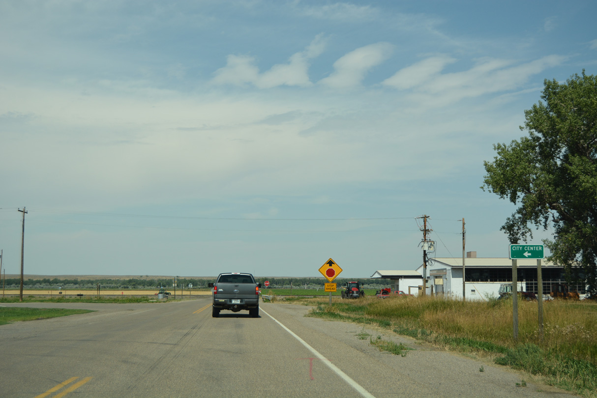
Myers Road leads S-311 east from Sumatra Hysham Road to the bridge spanning the Yellowstone River southeast to the unincorporated community of Myers. S-311 angles northeast across farmland along Old U.S. 10/312 from Buckingham Coulee to the Treasure County seat of Hysham.
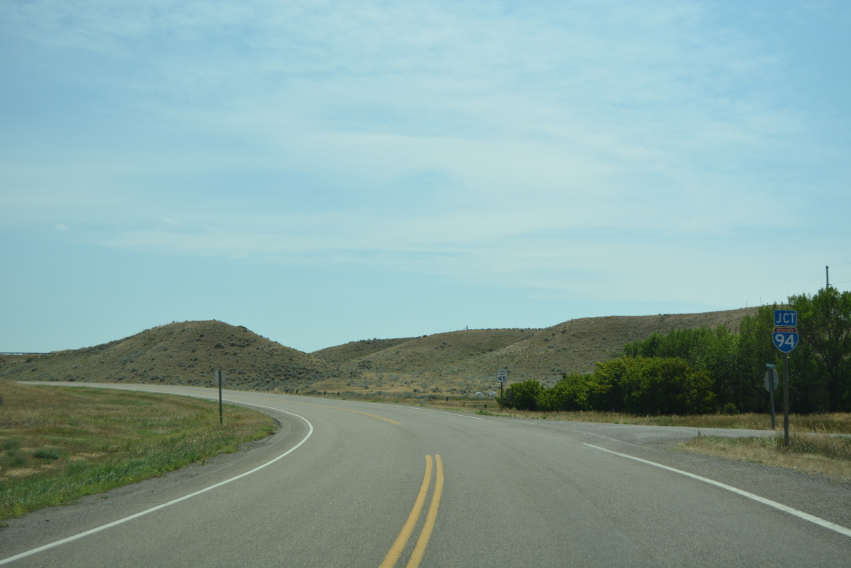
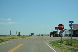
S-311 turns south from Old U.S. 10/312 (Pioneer Avenue) onto Buford Street as the highway encircles Hysham. The 2.52 mile leg south from Old Highway 10 to Interstate 94 at Exit 67 was formerly Business Spur I-94.

East
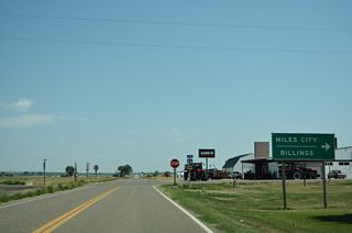
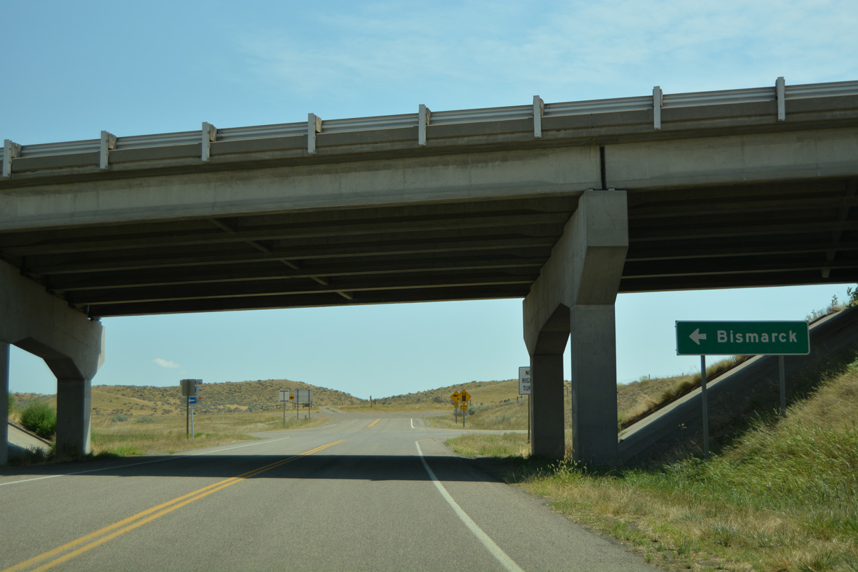
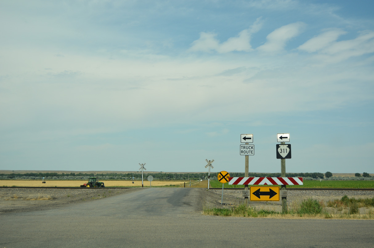
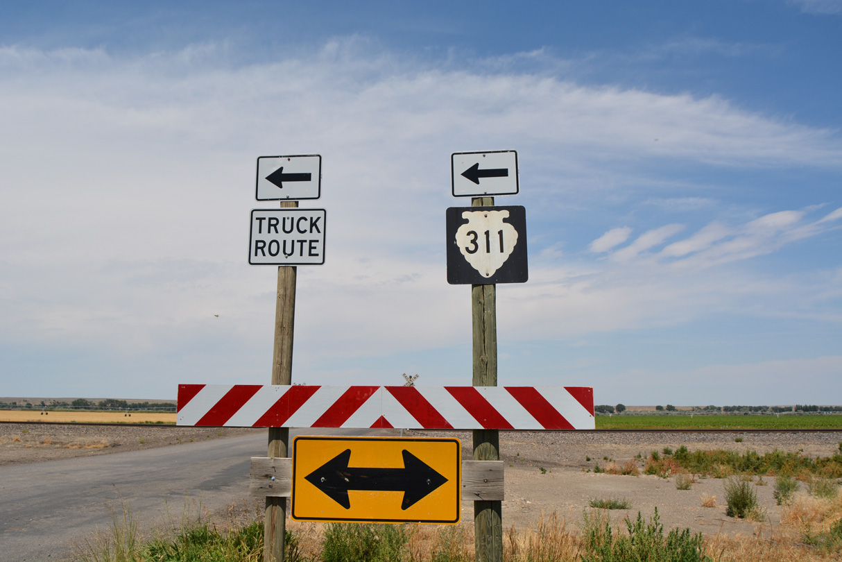
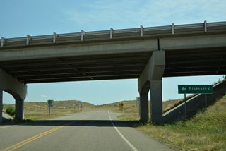
S-311 turns south from Pioneer Avenue (Old U.S. 10/312) onto Buford Street at th northeastern corner of Hysham. The guide sign referencing I-94 destinations was removed after 2021 due to construction of a business.
08/07/16
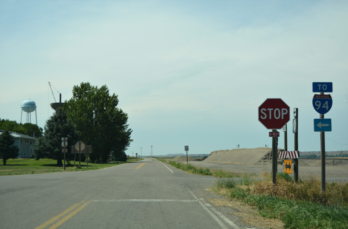
S-311 heads 2.52 miles south from Pioneer Avenue to Interstate 94.
08/07/16

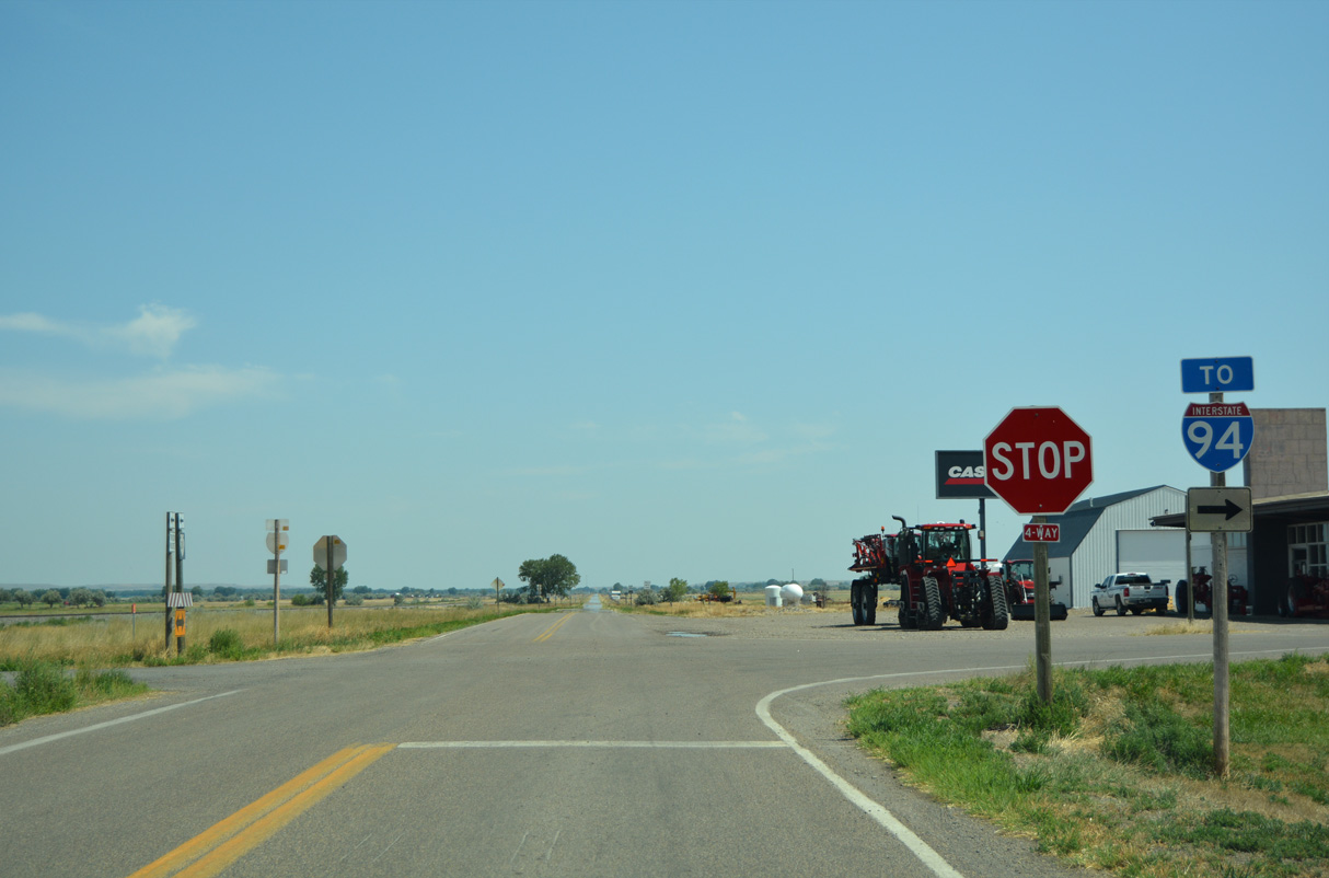
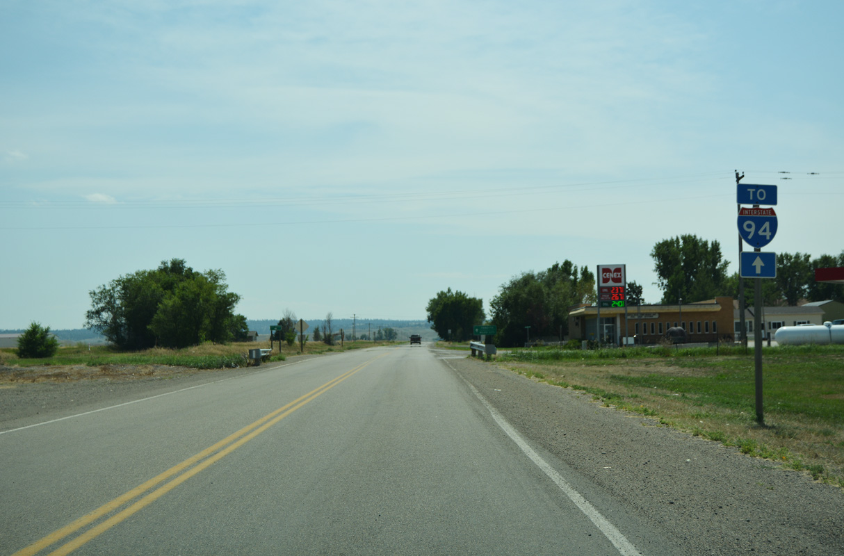
The unsigned leg of S-311 south from Hysham to Interstate 94 was formerly Business Spur I-94.
08/07/16

The unsigned leg of S-311 south from Hysham to Interstate 94 was formerly Business Spur I-94.
08/07/16
M-311 leaves Hysham south beyond Lions Club Park and 7th Avenue.
08/07/16

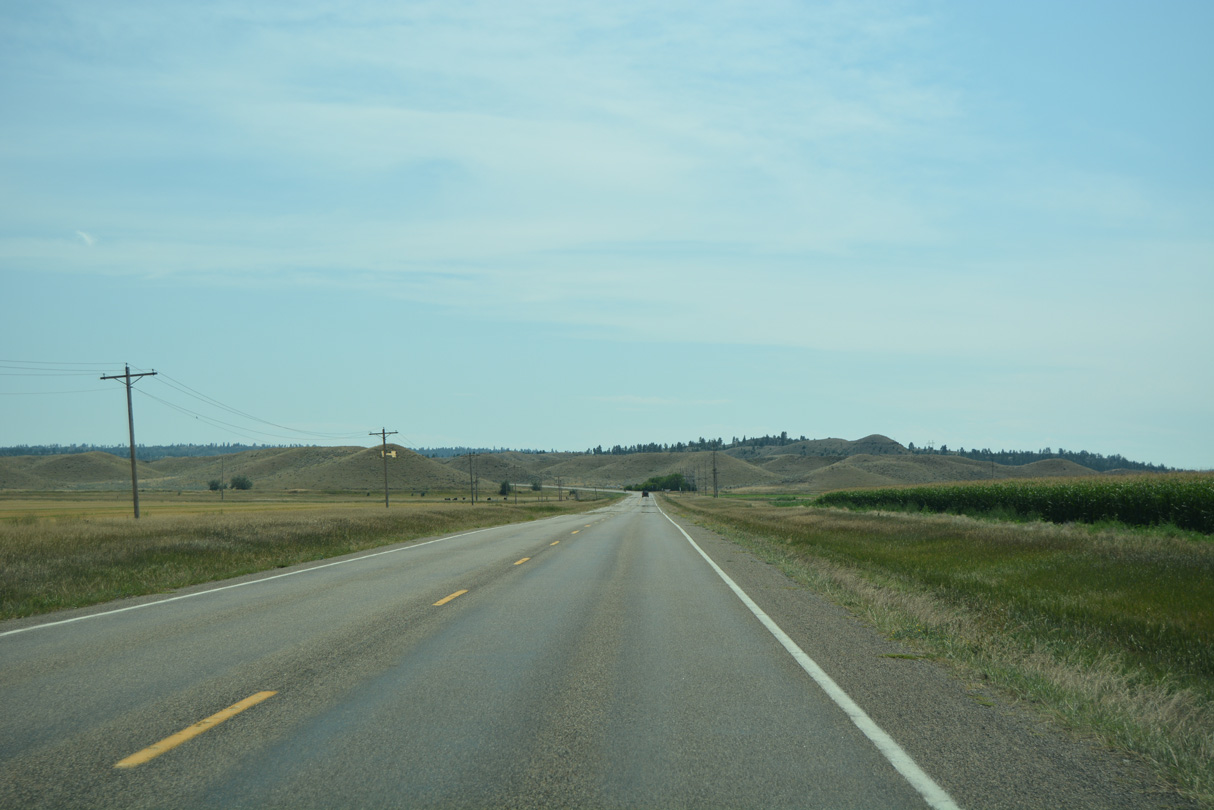
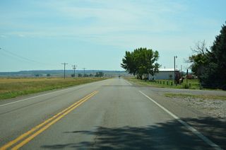
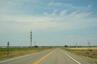
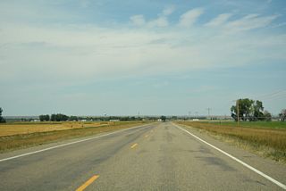
Advancing south across farmland, S-311 shifts southeast to meet Interstate 94 on bluffs west of Miller Coulee.
08/07/16
Advancing south across farmland, S-311 shifts southeast to meet Interstate 94 on bluffs west of Miller Coulee.
08/07/16
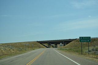
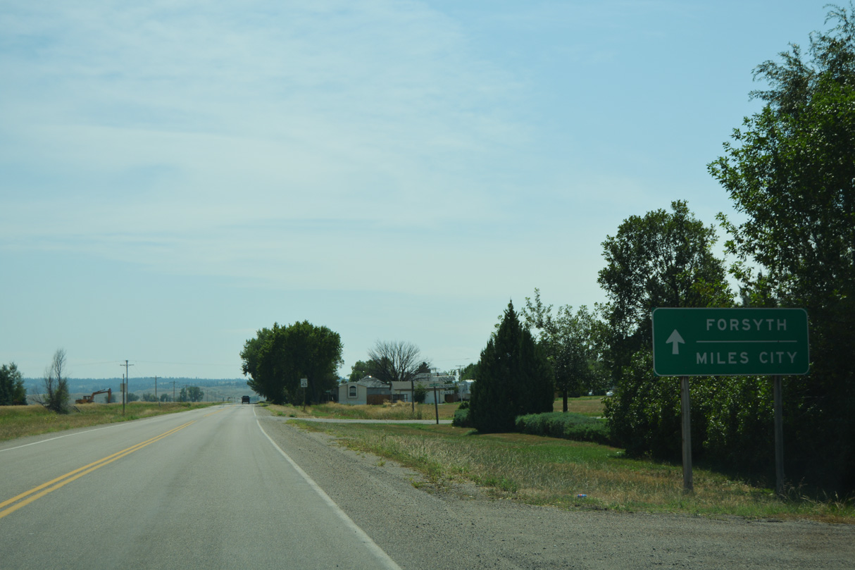
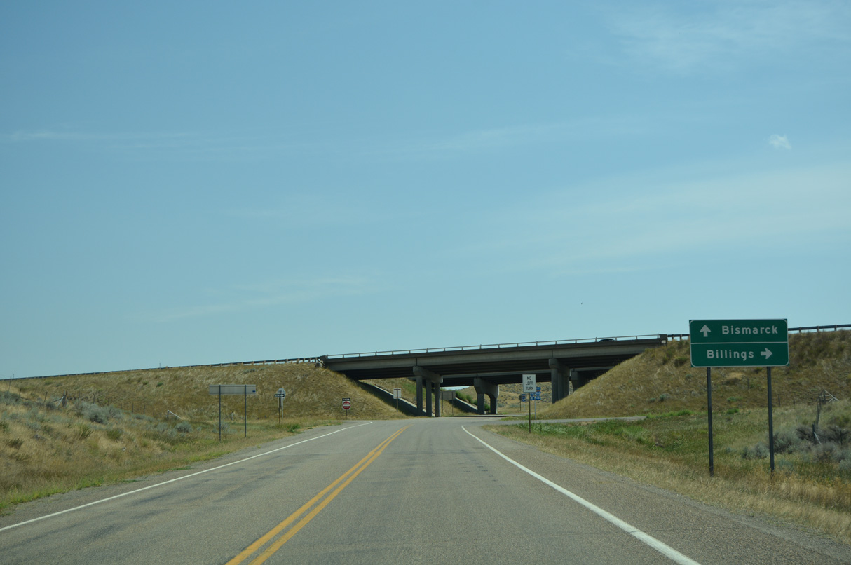
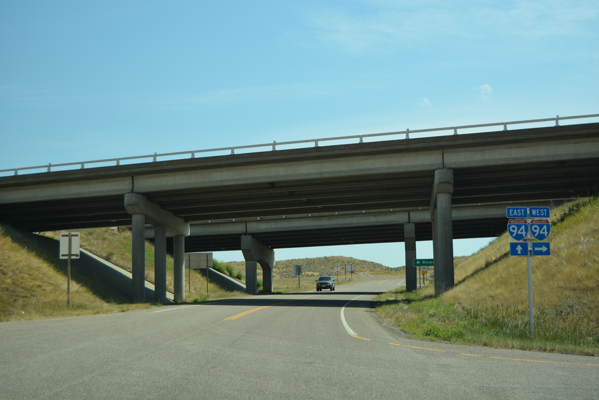
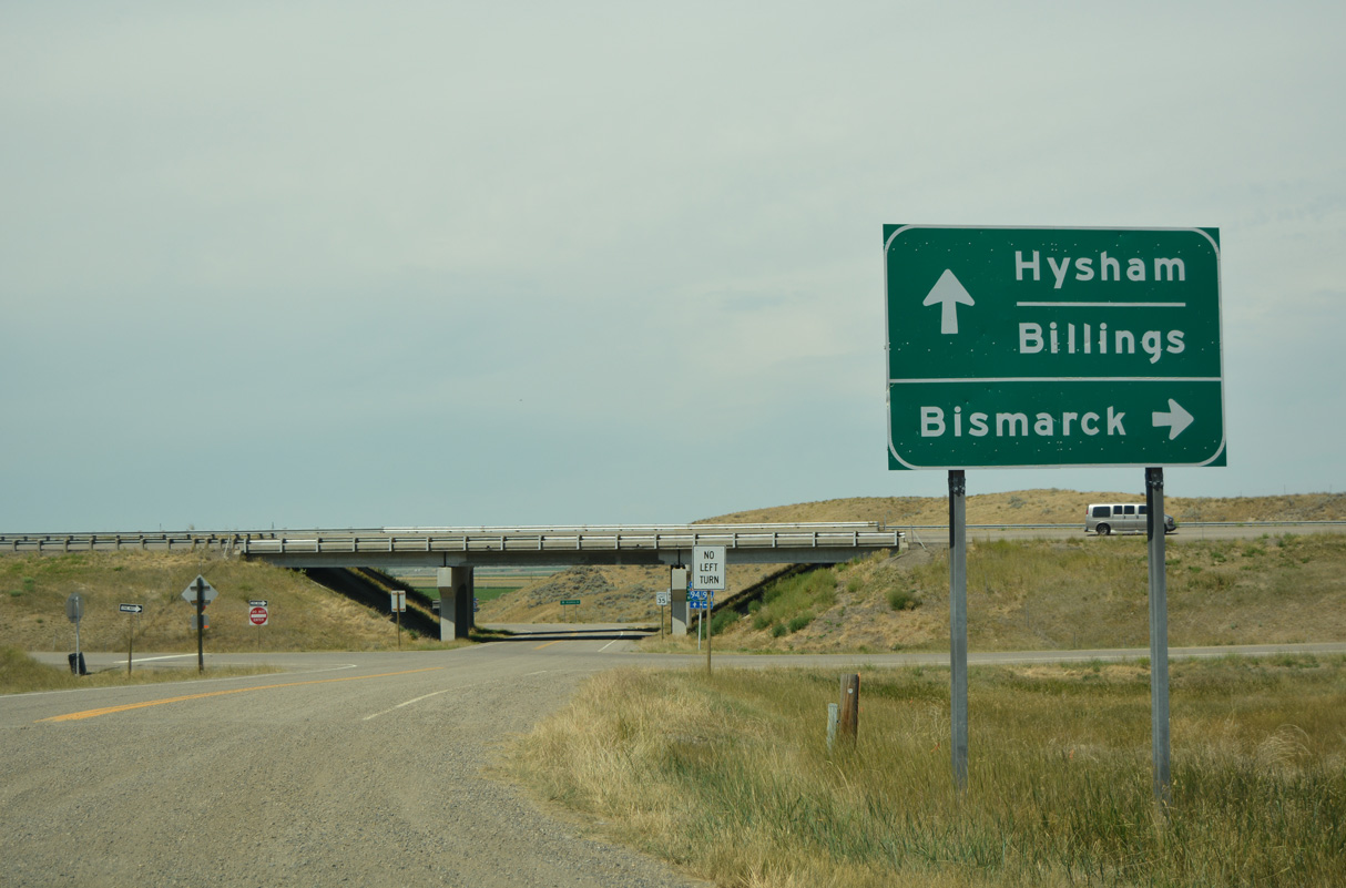
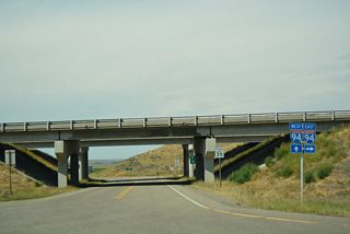
The standard control points for Interstate 94 in Montana are Bismarck, North Dakota for eastbound and Billings for westbound. Forsyth and Miles City are to the east of Hysham.
08/07/16
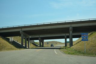
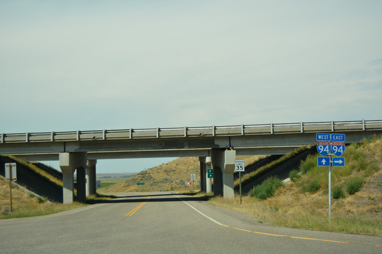
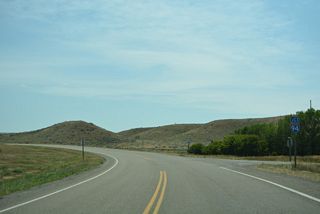
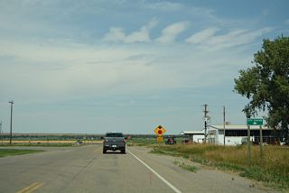
S-311 ends south at a diamond interchange (Exit 67) with Interstate 94.
08/07/16
S-311 ends south at a diamond interchange (Exit 67) with Interstate 94.
08/07/16
West
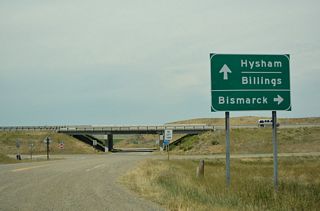
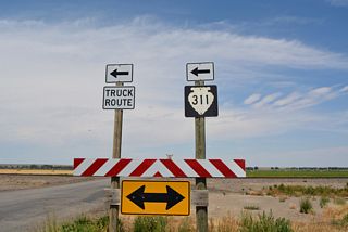
Gumbo Hill Road ties into the diamond interchange (Exit 67) joining Interstate 94 with S-311 from the south and east.
08/07/16
Interstate 94 passes south of Hysham east en route to Forsyth and Miles City.
08/07/16
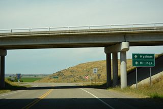
Interstate 94 travels southwest from S-311 to Custer, Ballantine and Lockwood.
08/07/16
S-311 is unsigned leading north from Interstate 94 to the town of Hysham.
08/07/16
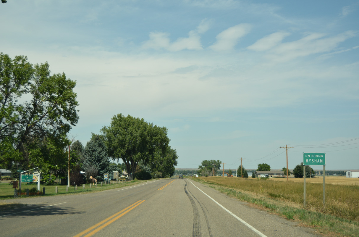
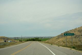
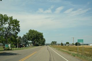
S-311 runs north across farm land from Cut Across Road to Hysham.
08/07/16
S-311 runs north across farm land from Cut Across Road to Hysham.
08/07/16
S-311 north reaches the southeast corner of the Hysham town limits ahead of 7th Avenue.
08/07/16
Elliot Avenue heads west from S-311 (Buford Street) to the Hysham business district.
08/07/16

S-311 turns west onto Pioneer Avenue at Old Highway 10.
08/07/16
S-311 turns west onto Pioneer Avenue at Old Highway 10.
08/07/16

Old Highway 10 (Old U.S. 10/312) west at S-311 (Buford Street) and the northeastern corner of Hysham.
08/07/16
Page Updated Friday January 23, 2026.