
Highway 11

North Carolina Highway 11 follows a 196 mile course from Columbus County, west of Wilmington, northeast to Kinston, Greenville and Murfreesboro toward the Virginia state line.
The first shield for NC 11 north stands just beyond U.S. 74/76 at Freeman.
06/24/10
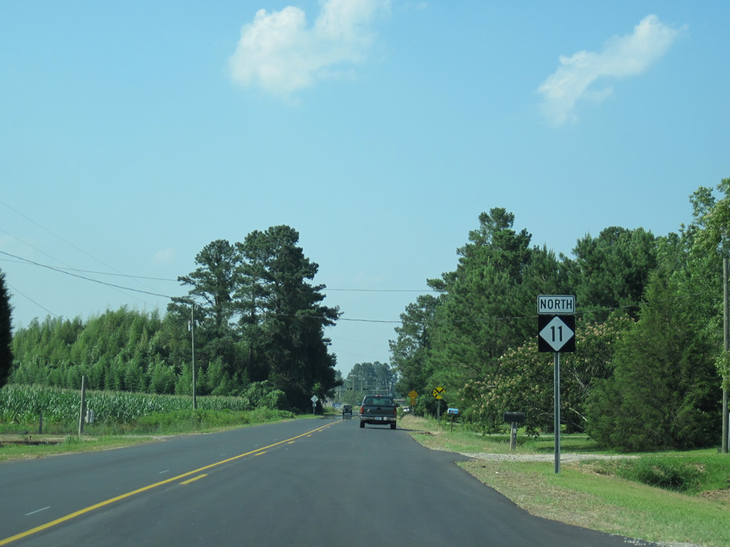
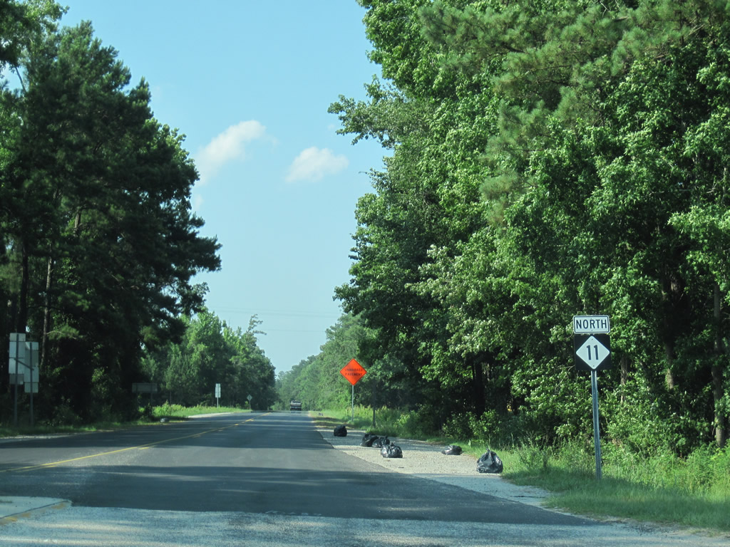
Reassurance marker posted after the intersection with Old Lake Road (SR 1740), which leads east to Armour and west to Ricefield.
06/24/10
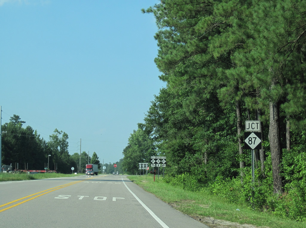
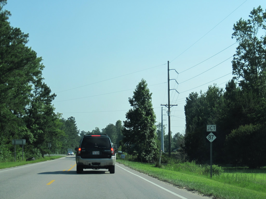
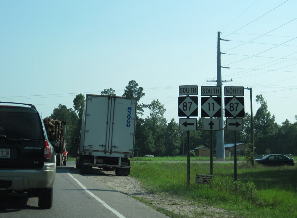
NC 11 crosses Weyman Creek ahead of the intersection with NC 87.
06/24/10
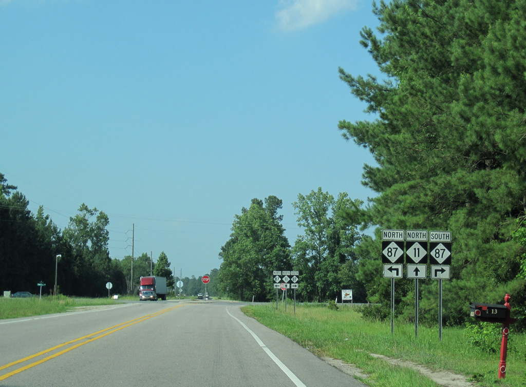
Stretching 237 miles across the state, NC 87 travels southeast four miles to Riegelwood and six miles to Delco and an overlap with U.S. 74/76.
06/24/10
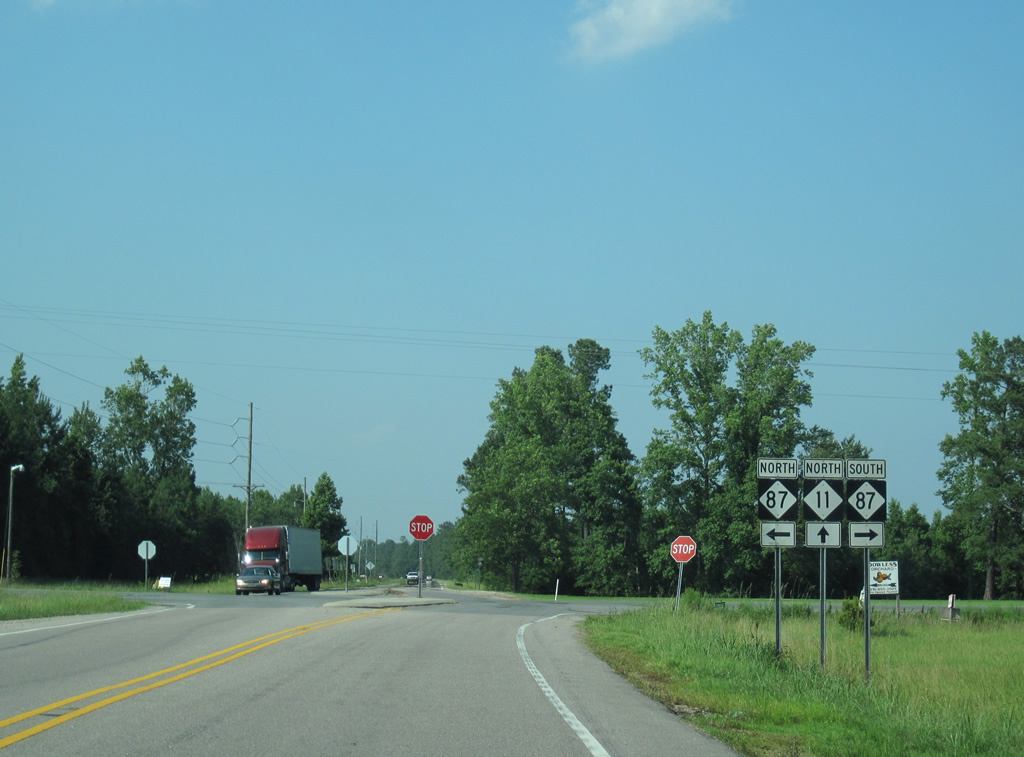
Northwest from NC 11, NC 87 continues ten miles to Carvers and 27 miles to Elizabethtown. NC 87 continues in Virginia as SR 87 between Eden and Martinsville.
06/24/10
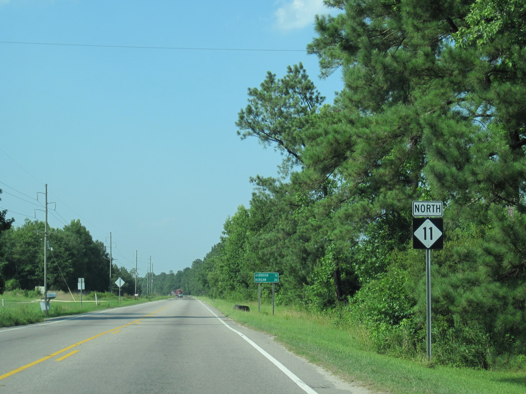
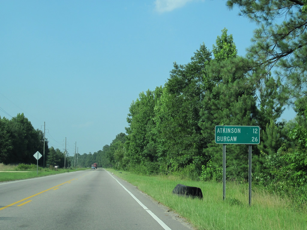
Advancing north from NC 87, rural NC 11 continues 12 miles to Atkinson and 26 miles to the Pender County seat of Burgaw.
06/24/10
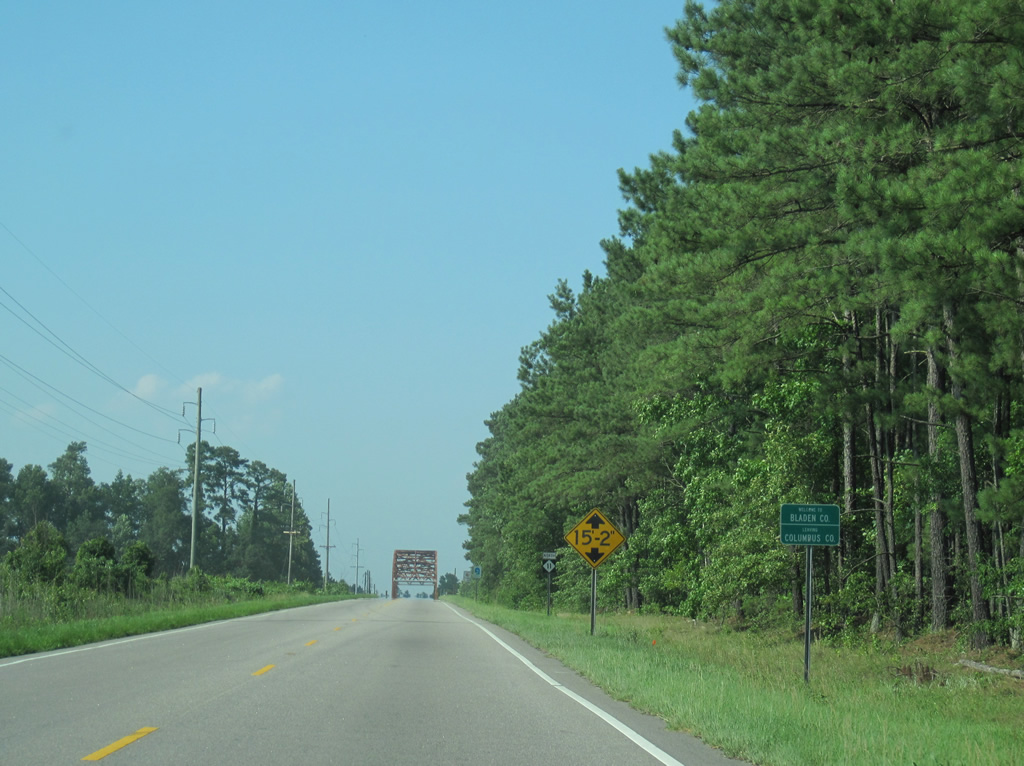
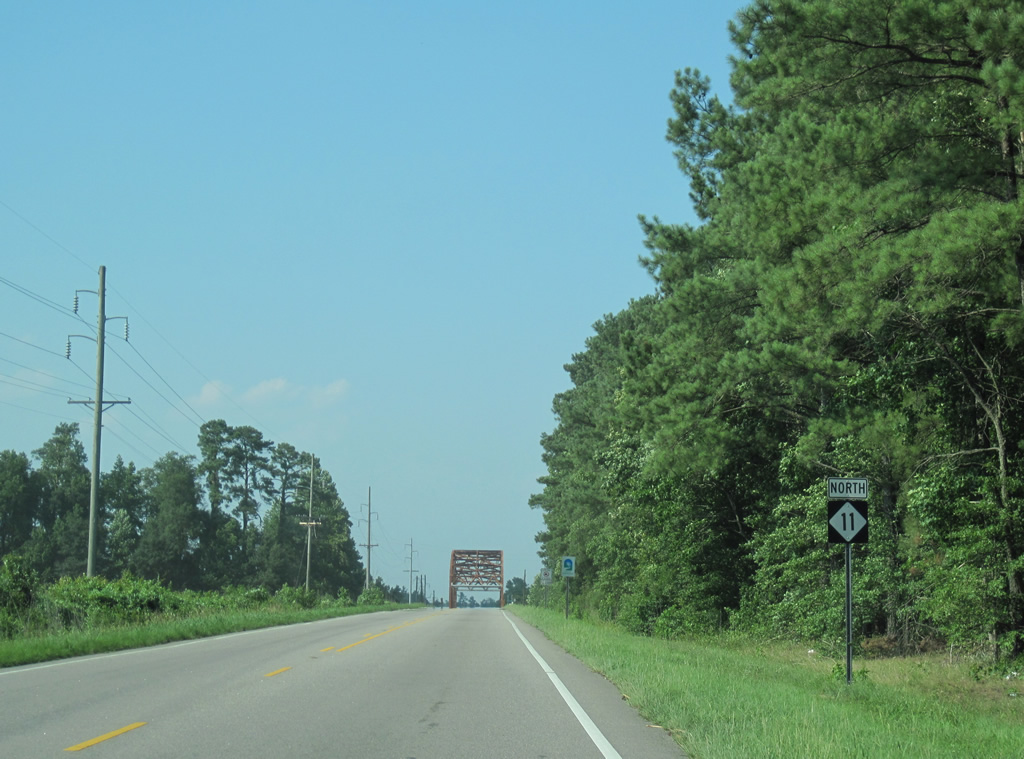
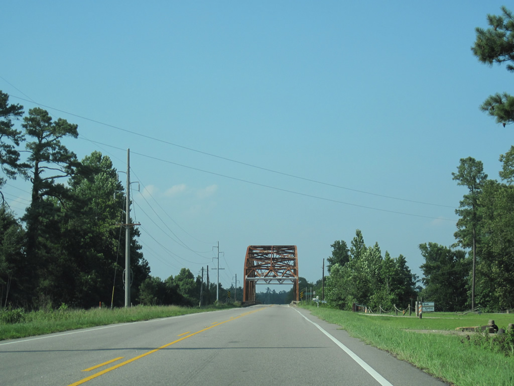
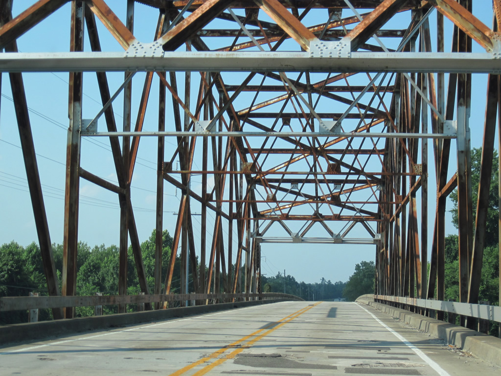
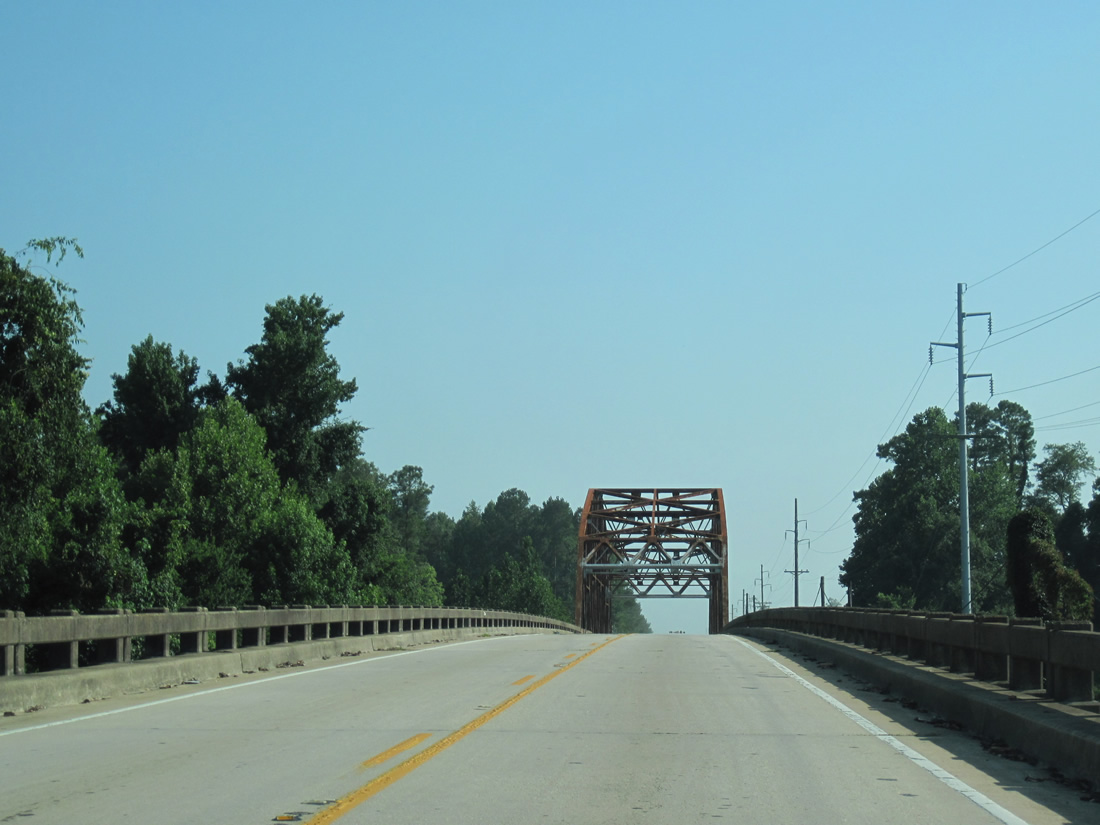
NC 11 enters Bladen County north ahead of a truss bridge across the Cape Fear River.
06/24/10
A reassurance shield follows the Columbus County line.
06/24/10
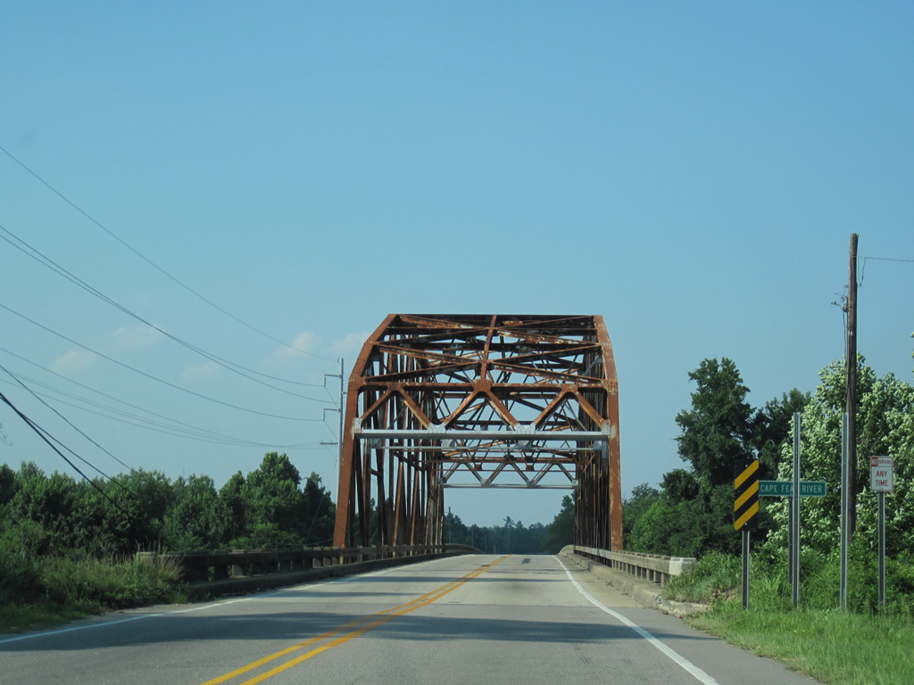
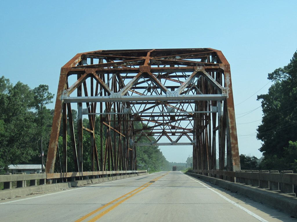
The two lane truss bridge along NC 11 extends from a bluff south of the Cape Fear River to an area of wetlands.
06/24/10
The Cape Fear River flows 202 miles southeast from the confluence of the Deep and Haw Rivers to the Atlantic Ocean at Cape Fear. The Deep and Haw Rivers originate northwest of Greensboro in the North Carolina Piedmont.
06/24/10
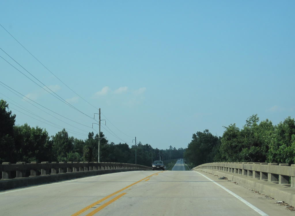
NC 11 traverses an area of wetlands ahead of the Cape Fear River southwest of White Oak Canal.
06/24/10
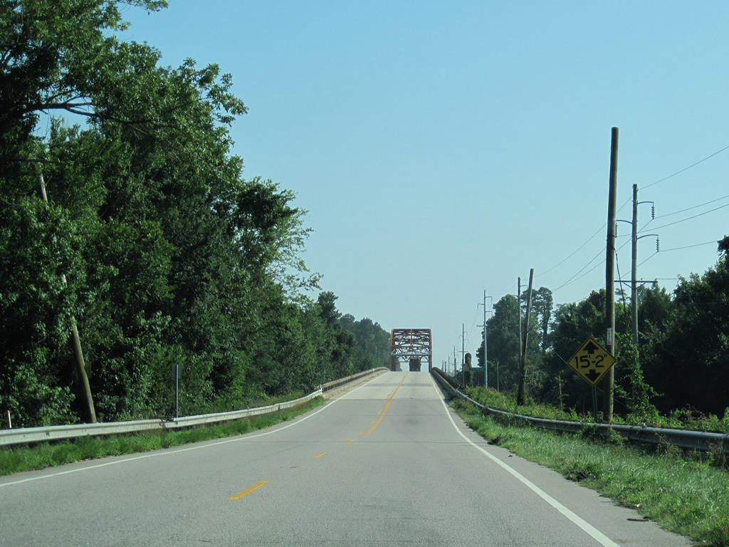
Rising onto a two lane truss bridge to span the Cape Fear River on NC 11 south.
06/24/10
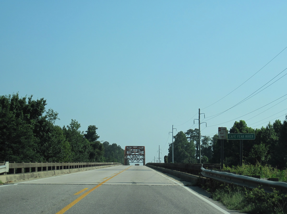
NC 11 crosses the Cape Fear River onto a bluff on the south side of the river. The waterway southeast of the state highway forms the southeastern boundary of Bladen County to the Black River.
06/24/10
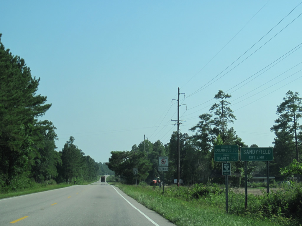
The Bladen and Columbus County lines diverge from the Cape Fear River southwest by East Arcadia. NC 11 formally enters the county and the town of Sandyfield just south of the river.
06/24/10
Sandyfield lines the west side of NC 11 to the intersection with NC 87 (Old Stage Road).
06/24/10
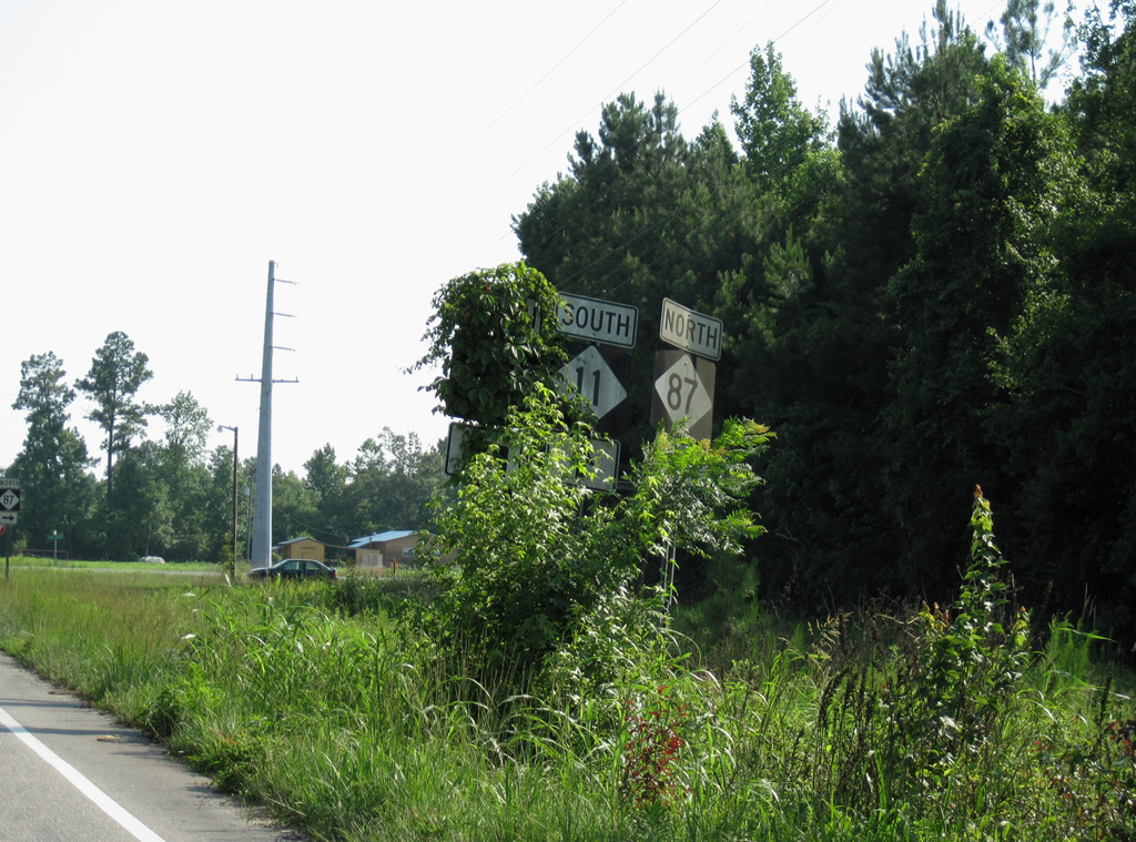
Vegetation shrouded the shield assembly for NC 11 and 87 ahead of the two-way stop.
06/24/10
NC 87 joins Fayetteville and Elizabethtown to the northwest with Wilmington and Southport at its south end.
06/24/10
Photo Credits:
- ABRoads: 06/24/10
Connect with:

Page Updated Monday January 28, 2013.