
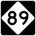
Highway 89
North Carolina Highway 89 constitutes a multi state highway with Virginia Route 89, south of Galax, to U.S. 311 at Walnut Grove. The 61.40 mile long route runs east from Lowgap, Mount Airy and Stokes County from Westfield. NC 89 turns southward to Hanging Rock State Park, Danbury and U.S. 311.
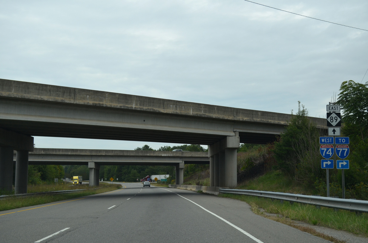
NC 89 (Pine Street) comprises a four lane divided highway between folded diamond interchanges with I-77 and I-74. Pictured here are the I-74 overpasses along Pine Street east.
09/23/14

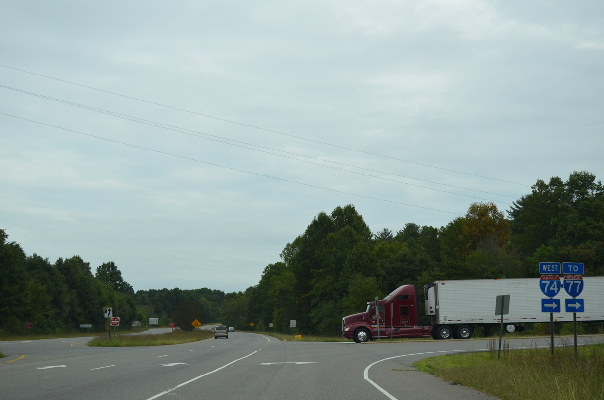
The I-74 control cities are Wytheville for I-77 north and Statesville for I-77 south. The freeway meets I-77 to the immediate west at a three-wye interchange.
09/23/14
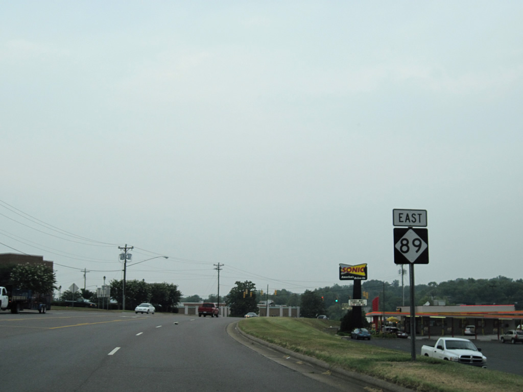
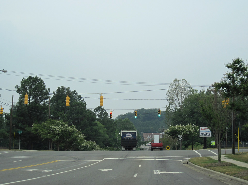
Interstate 74 west merges onto Interstate 77 north before ending in five miles at the Virginia state line. NC 89 (Pine Street) meanwhile advances east to rural Pine Ridge and Toast.
09/23/14
NC 89 turns northward onto Independence Boulevard to bypass the central business district of Mt. Airy from U.S. 52 Bypass (Andy Griffith Parkway) to Renfro Street (U.S. 52 Business). This shield appears between Pine and Frederick Streets.
07/09/10
Intersecting South Street, just east of Lovills Creek on NC 89 (Independence Boulevard) east.
07/09/10
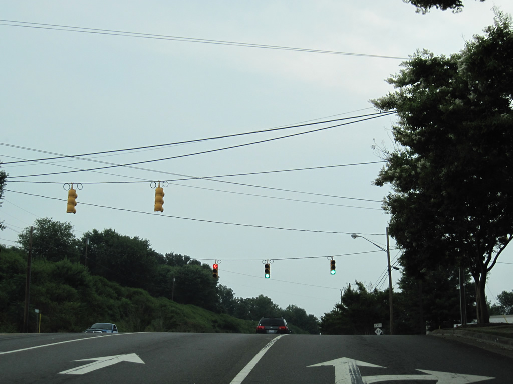
Independence Boulevard continues with four overall lanes between South and Willow Streets.
07/09/10
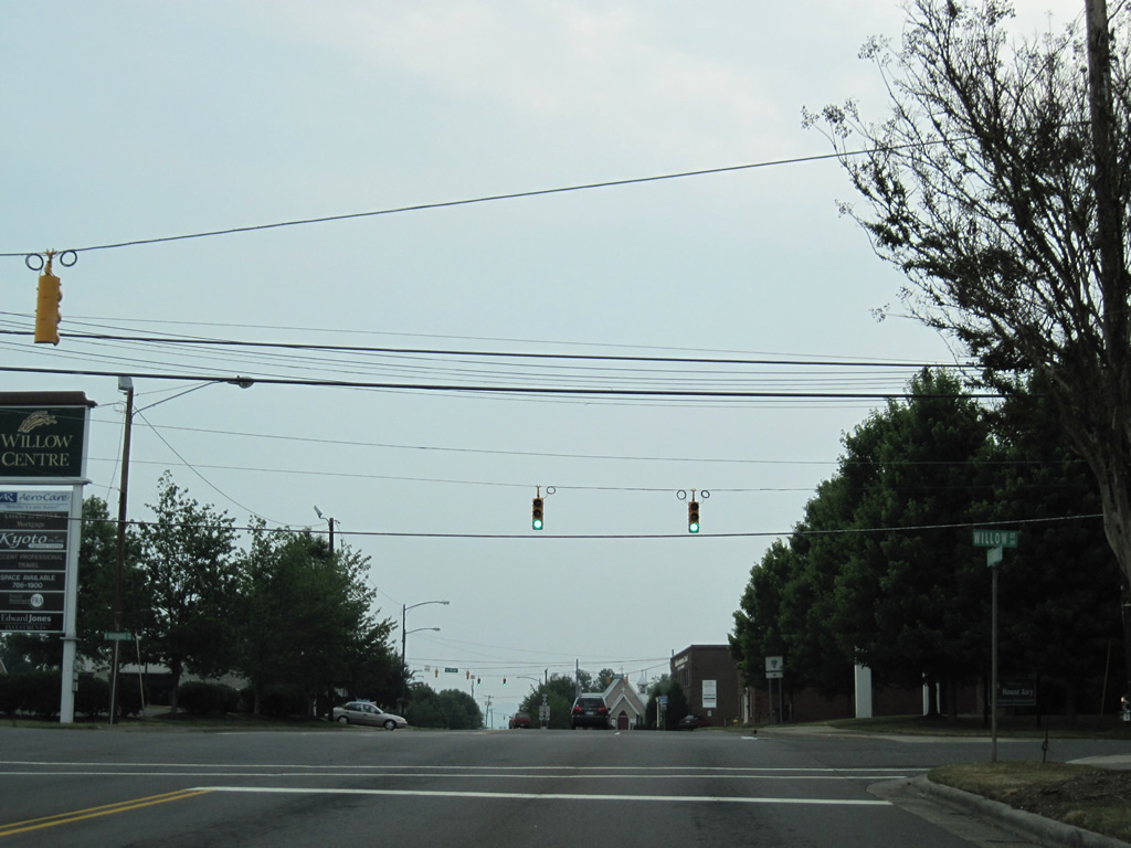
Willow Street branches south from U.S. 52 Business (Lebanon Street) to intersect NC 89 outside Downtown Mount Airy.
07/09/10
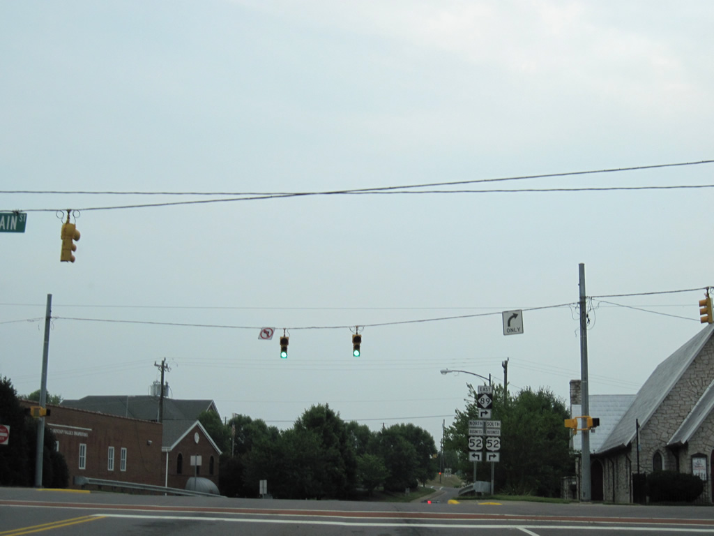
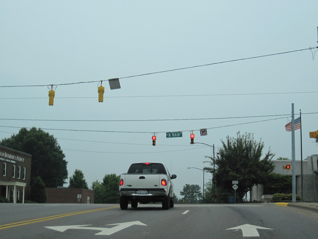
Main Street passes through Downtown Mt. Airy between NC 89 (Independence Boulevard) and Pine Street.
07/09/10
NC 89 turns miles southward alongside U.S. 52 Business (Renfro Street). U.S. 52 Business loops through Mt. Airy from Boones Hill and Bannertown to the southeast and along Lebanon Street northwest.
07/09/10
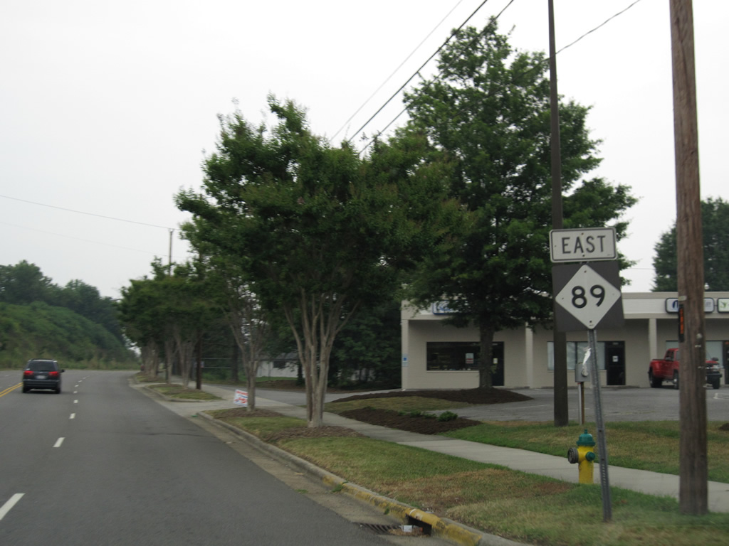
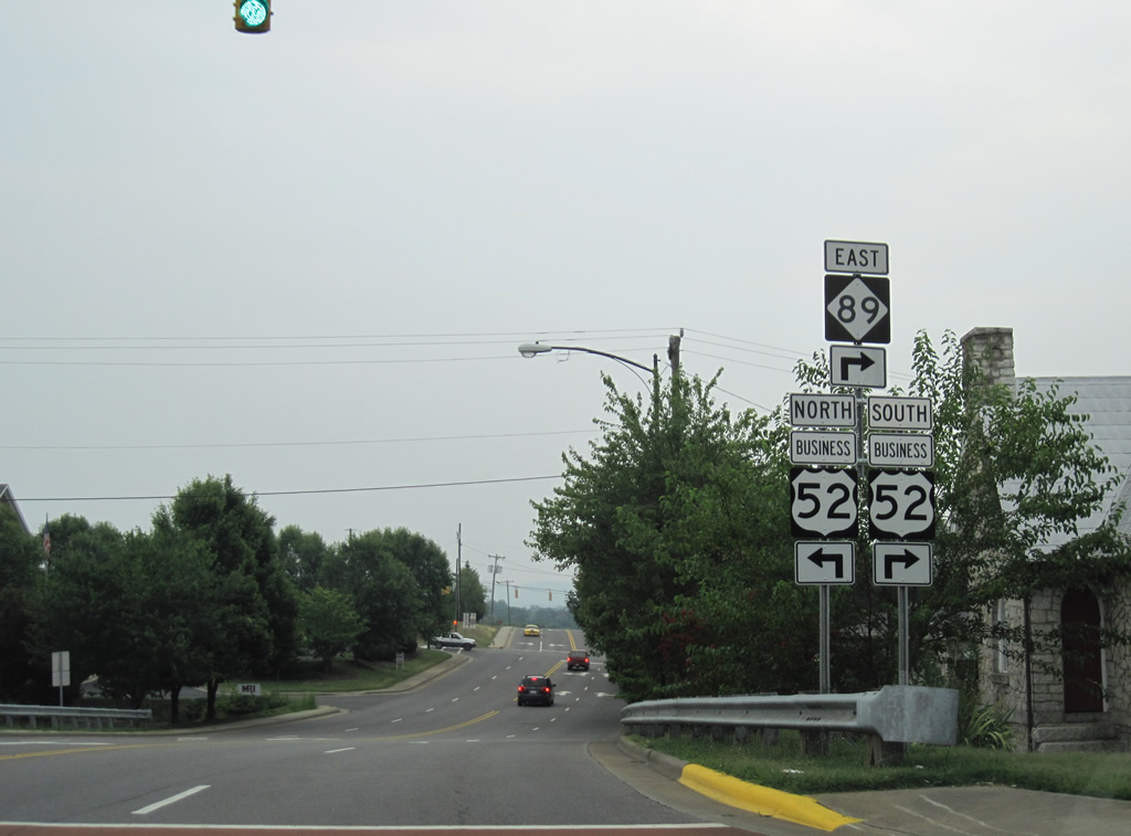
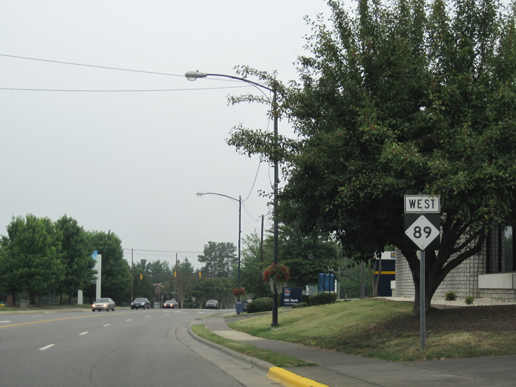
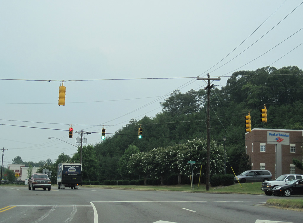
Independence Boulevard extends east a short distance to NC 104 (Riverside Drive), just north of NC 103 (Pine Street). U.S. 52 Business and NC 89 combine 1.6 miles southeast to Westfield Road. There NC 89 turns east to Westfield and Danbury.
07/09/10
 North
North 
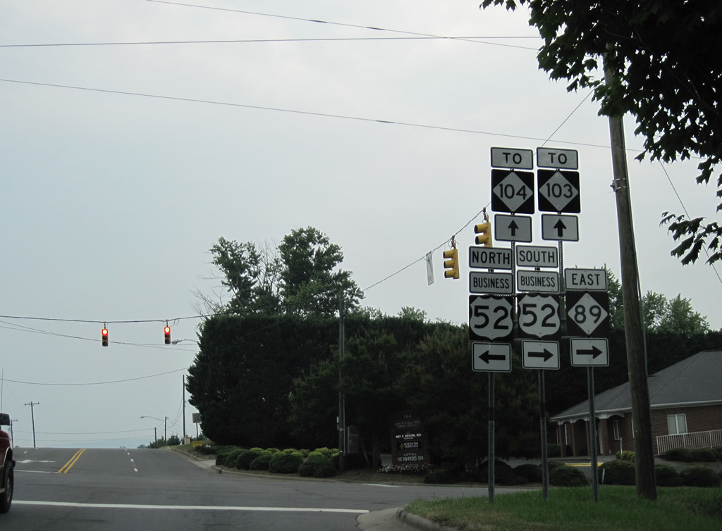
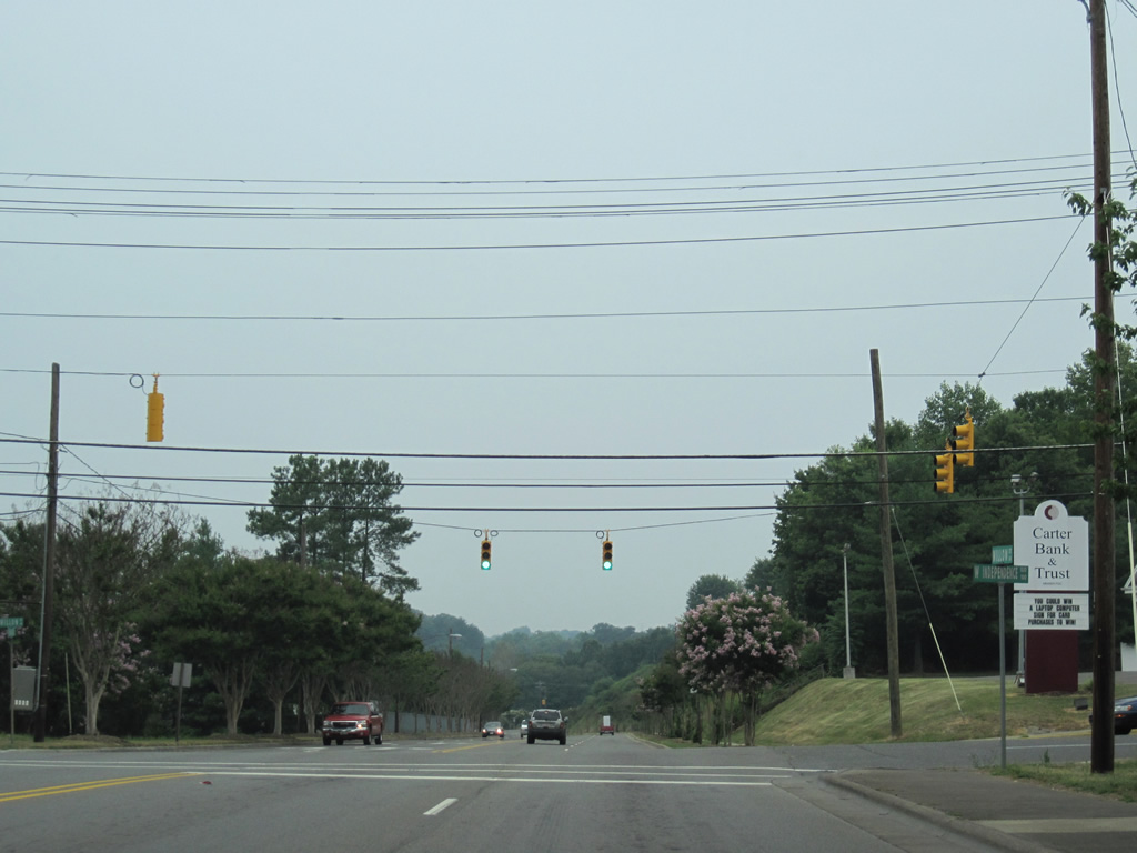
Heading north from the west end of NC 103 (Pine Street), U.S. 52 Business and NC 89 intersect Oak Street on the east side of the Mt. Airy central business district.
07/09/10
NC 89 turns west from U.S. 52 Business (Renfro Street) onto Independence Boulevard.
07/09/10
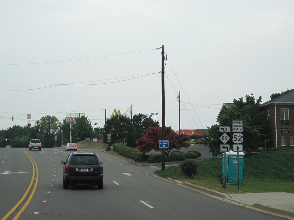
Independence Boulevard provides a bypass of Downtown Mt. Airy for NC 89 west to Pine Street at U.S. 52 Bypass.
07/09/10
Westbound shield for NC 89 posted between U.S. 52 Business (Renfro Street) and Main Streets.
07/09/10
Willow Street lines the west side of downtown Mt. Airy from Pine Street northward to Independence Boulevard at this signal. The street becomes residential northward to U.S. 52 Business (Lebanon Street).
07/09/10
Lowering toward the intersection with South Street on NC 89 west.
07/09/10
Beyond South Street, NC 89 crosses a Yadkin Valley Railroad line and Lovills Creek.
07/09/10
Frederick Street links NC 89 (Independence Boulevard) at a shopping center with U.S. 52 Bypass (Andy Griffith Parkway) opposite Merita Street.
07/09/10
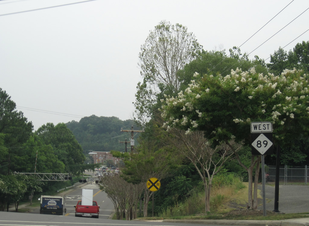
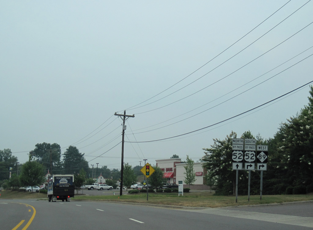
NC 89 intersects Pine Street across from the northbound entrance ramp for U.S. 52 Bypass to Fancy Gap, Virginia.
07/09/10
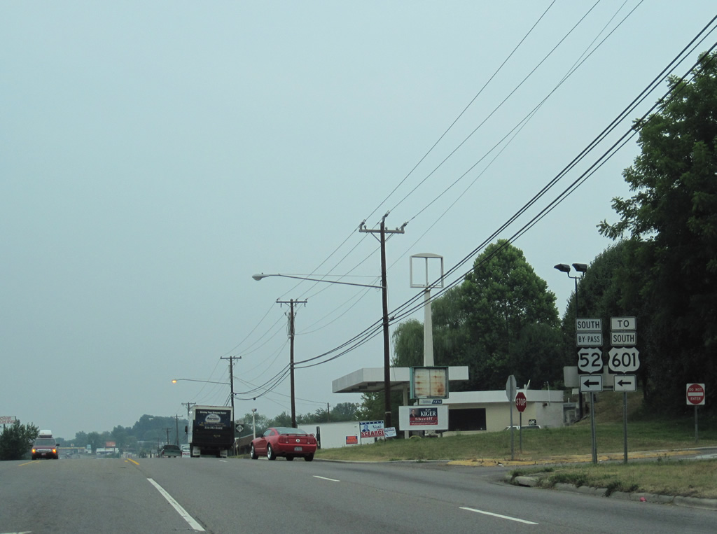
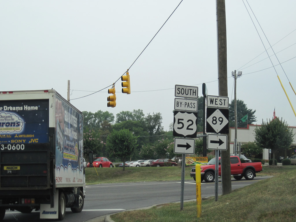
NC 89 passes under Andy Griffith Parkway ahead of the southbound ramp to Winston-Salem. U.S. 52 south meets the north end of U.S. 601 in 1.2 miles.
07/09/10
Photo Credits:
- ABRoads: 09/23/14
- Alex Nitzman: 07/09/10
Connect with:


Page Updated Tuesday October 20, 2015.