
Nipton Road
Nipton Road branches east from Interstate 15 by the Clark Mountain Range to Nevada 164 in San Bernardino County. Totaling 13.0 miles, Nipton Road follows a linear route east from Exit 286 of I-15 into Ivanpah Valley. The settlement of Nipton lies at the crossroads with the Union Pacific Railroad line along an otherwise remote drive through the Mojave National Preserve. Nevada 164 extends Nipton Road east through a Joshua tree forest to U.S. 95 in Searchlight.
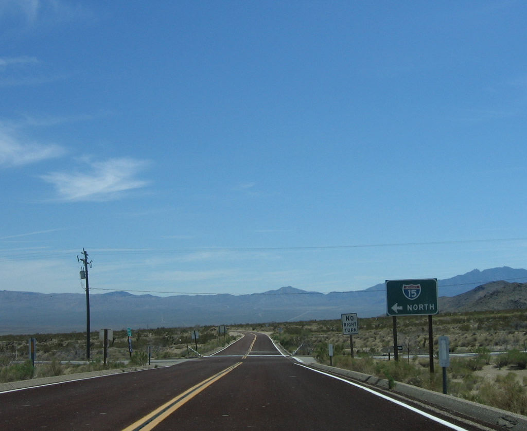
Nipton Road spurs east from the diamond interchange (Exit 286) with Interstate 15, located 9.8 miles south of the Nevada state line at Primm.
04/02/06
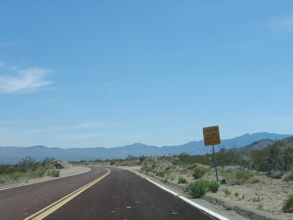
Especially during the summer monsoon season, Nipton Road may see some flash flooding.
04/02/06

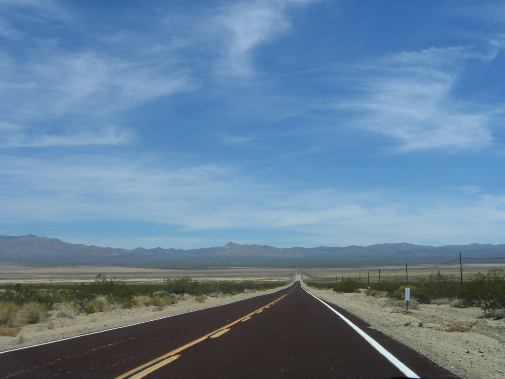
Passing north of the Ivanpah Mountain foothills, the initial few miles of Nipton Road encounters some dips until the terrain flattens out.
04/02/06
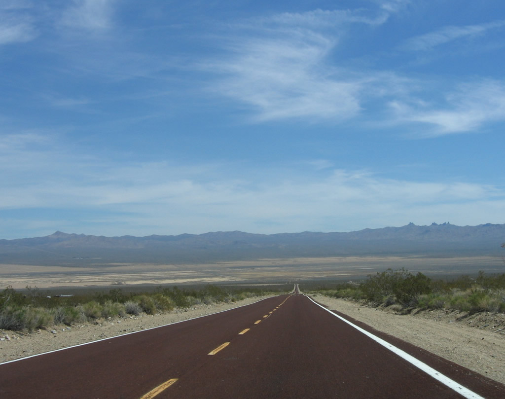
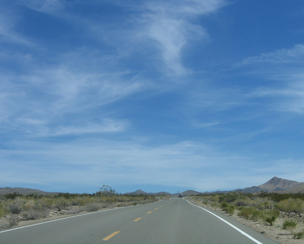
Nipton Road descends into the pervasive Ivanpah Valley, which spreads north toward Primm, Nevada, and south toward Cima and Kelso in the Mojave Desert.
04/02/06
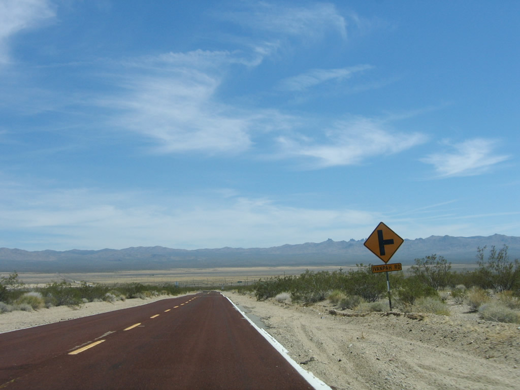
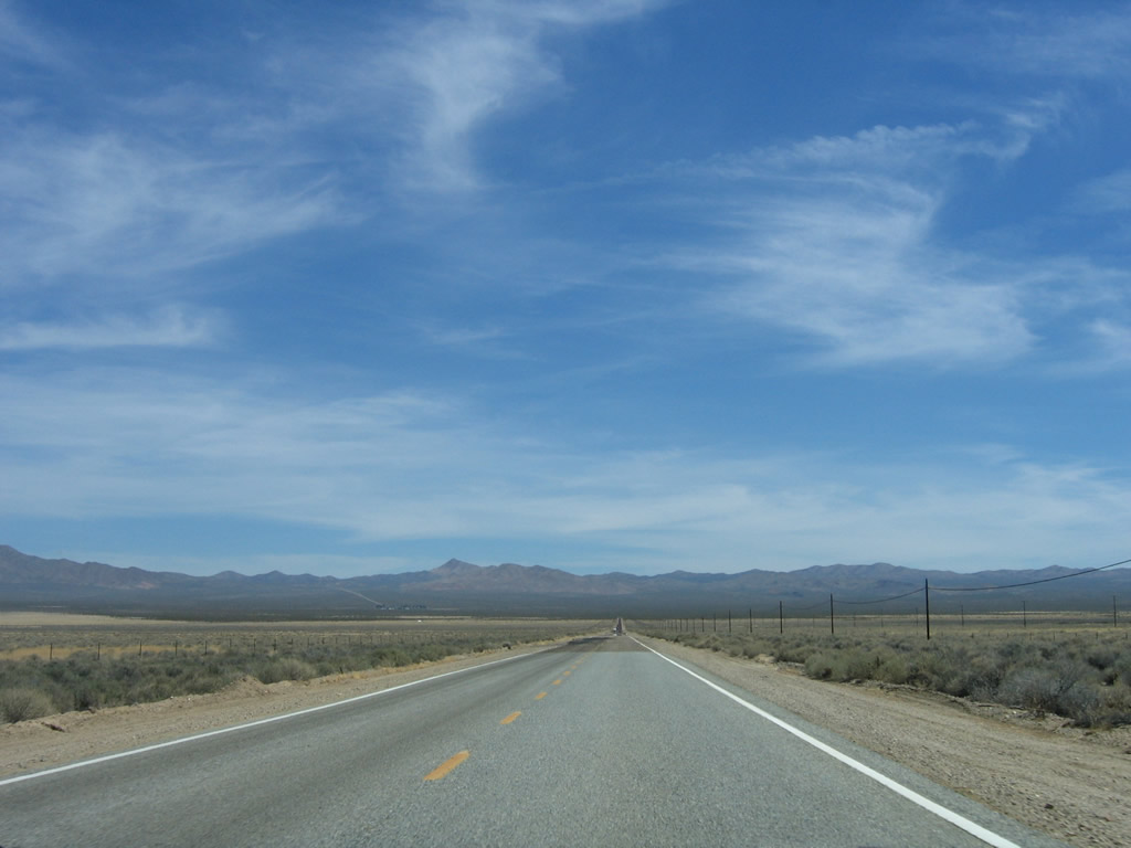
Eastbound Nipton Road approaches Ivanpah Road, which travels southeast toward the site of Ivanpah. A branch via Morning Star Mine Road leads south to Cima and Kelso.
04/02/06
Nipton Road continues its descent toward the Ivanpah Valley.
04/02/06
Flattening out, Nipton Road passes by Murphy Well and begins to gain elevation toward Crescent Peak, which sits between the McCullough Mountains to the north and New York Mountains to the south.
04/02/06
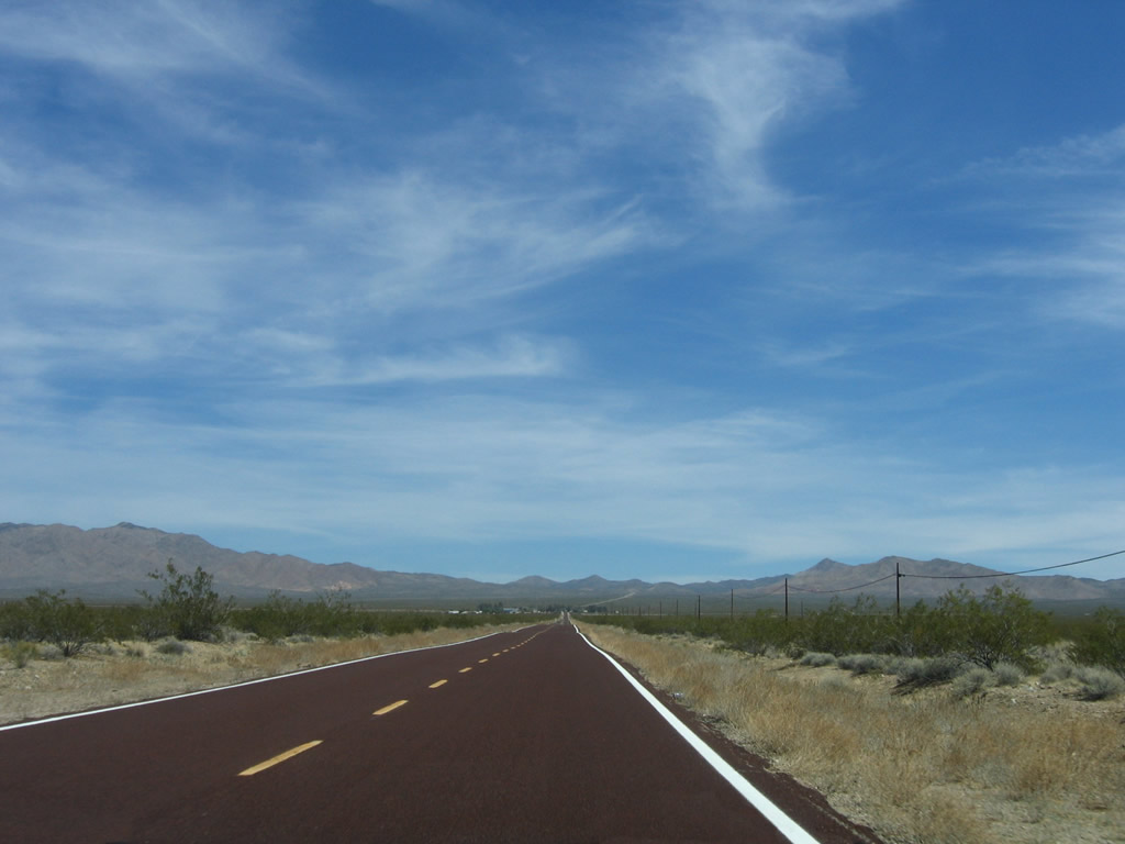
Gaining elevation, Nipton Road approaches the settlement of Nipton in the distance ahead.
04/02/06
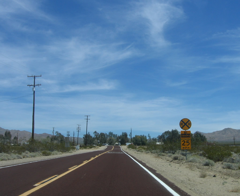
Nipton Road crosses the Union Pacific Railroad tracks ahead, which lead south to San Bernardino and north to Las Vegas. The railroad joins the Interstate 15 corridor near Primm, Nevada, and proceeds north through Jean toward Las Vegas.
04/02/06
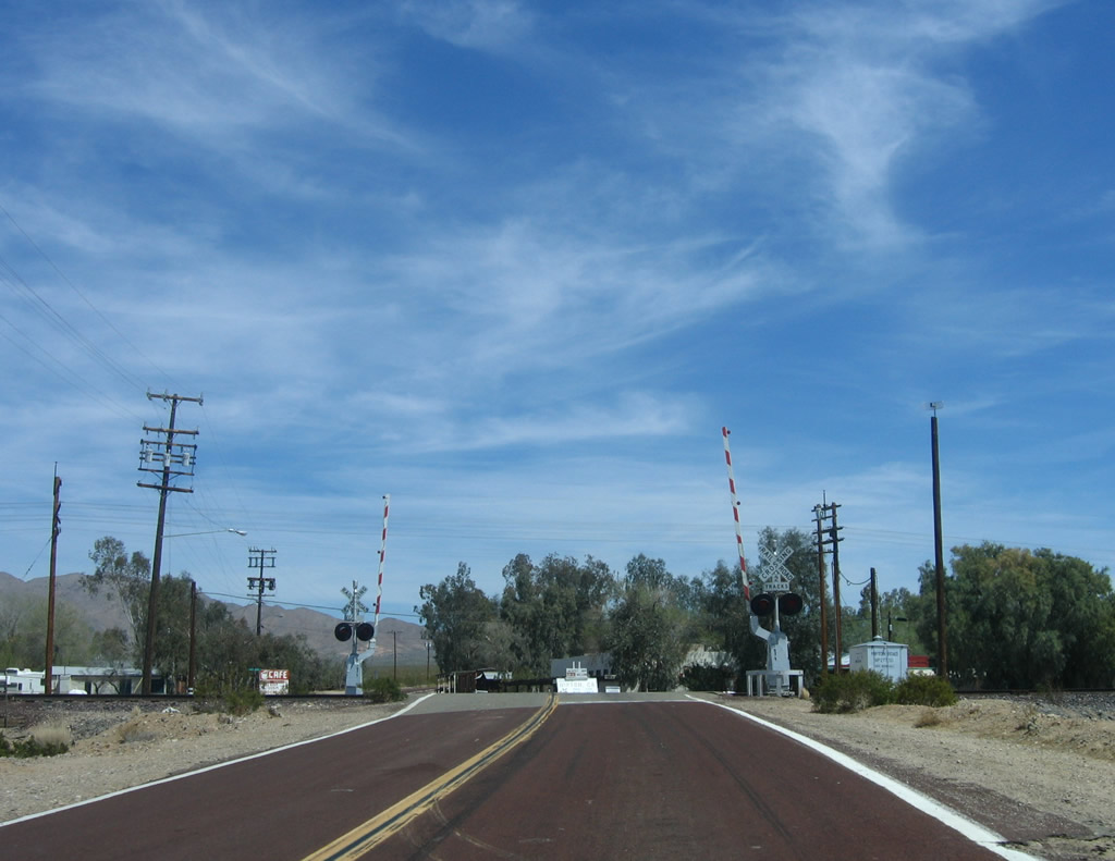
Nipton Road enters the unincorporated community of Nipton, gateway to the Mojave National Preserve, beyond the UP Railroad.
04/02/06
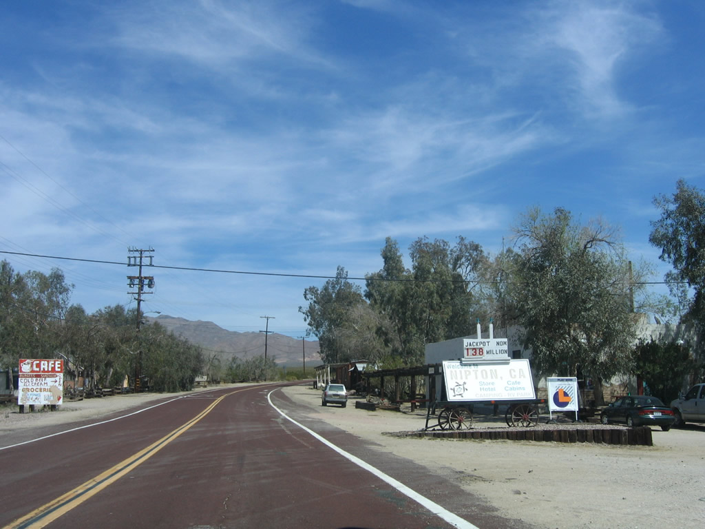
Nipton is a tiny community, with a small motel and cafe. Originally built as the San Pedro, Los Angeles and Salt Lake Railroad in 1905 until consolidation with the Union Pacific Railroad in 1910, Nipton initially functioned as a railroad town.
04/02/06
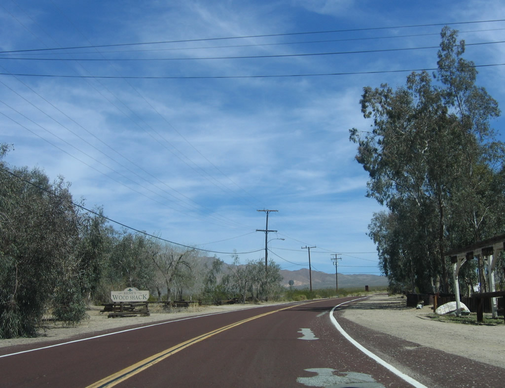
Leaving town, Nipton Road continues its ascent toward Crescent, Nevada.
04/02/06
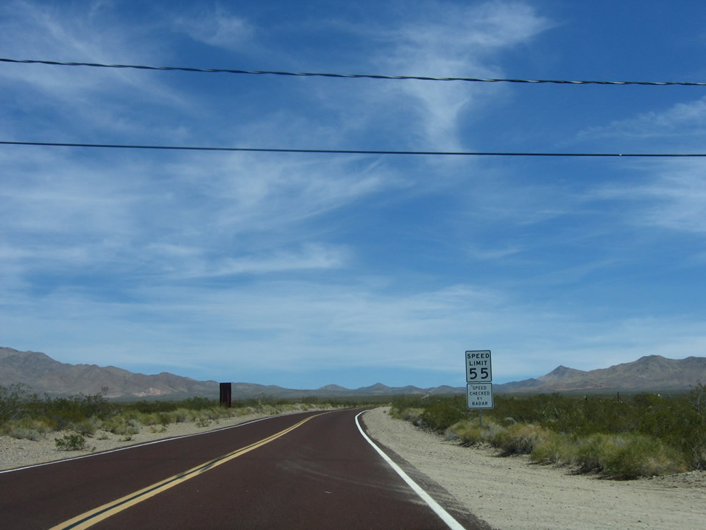
The speed limit remains 55 miles per hour for the rest of the route to the California-Nevada state line.
04/02/06
Nipton Road bee lines 2.5 miles east northeast toward the Nevada state line. The Mc Cullough Range rises along the horizon.
04/02/06
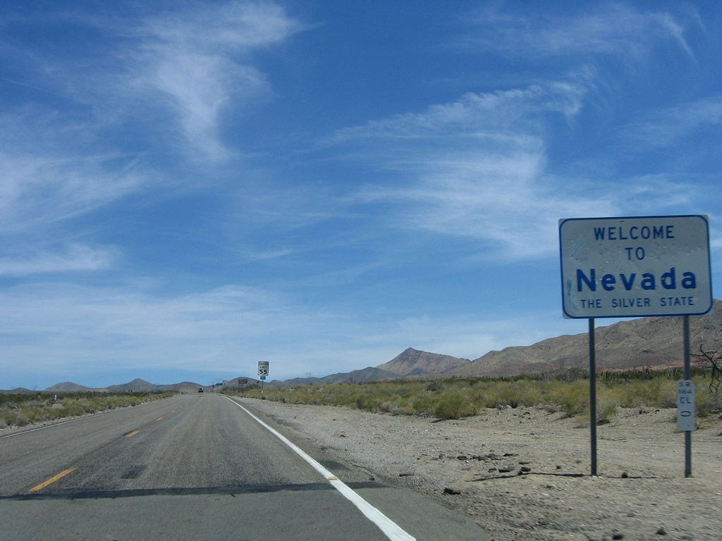
Eastbound Nipton Road reaches the state line, where the San Bernardino County-maintained highway transitions directly onto Nevada 164. Nevada 164 (Joshua Tree Highway) continues the road east 18.6 miles to Searchlight via the site of Crescent.
04/02/06
Photo Credits:
- Andy Field: 04/02/06
Connect with:
Page Updated Thursday August 17, 2017.