
Route 440 North
 North
North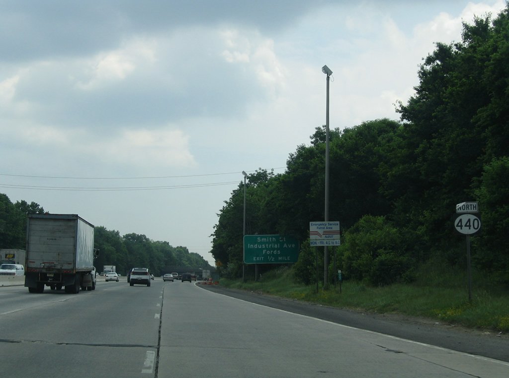
Leading away from the directional cloverleaf interchange with the New Jersey Turnpike and County Route 514 (Woodbridge Avenue), drivers pass by the first reassurance marker for Route 440 north.
06/13/05
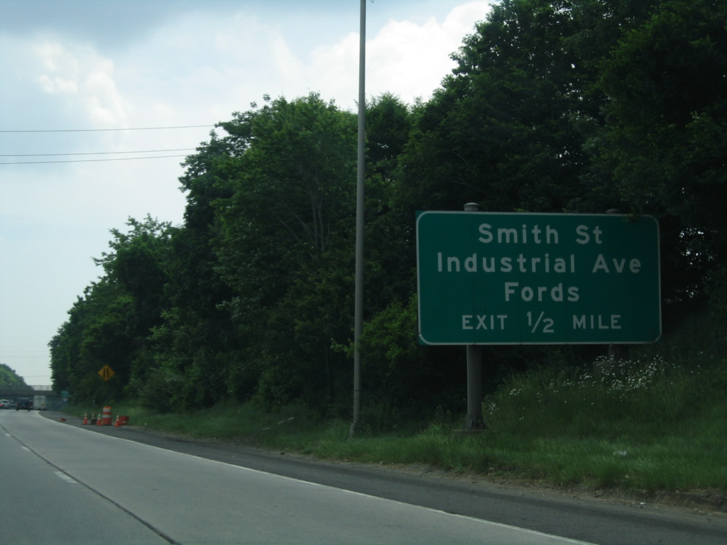
A parclo interchange lies a half mile ahead with Riverside Drive west, Crows Mill Road (CR 656 north) and Smith Street (CR 656 east) at the community of Fords.
06/13/05
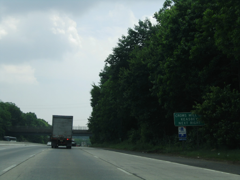
Crows Mill Road winds northeast from Riverside Drive and Route 440 to CR 501 (King George Road) through the Fords residential street grid, Smith Street branches southeast from the road to the industrial area of Keasbey.
06/13/05
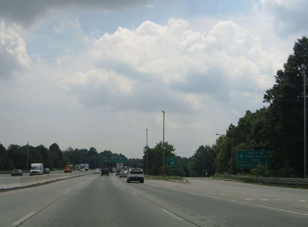
The exit for Fords and Keasbey carries all motorists in unison from Route 440 north to Riverside Drive west, Smith Street (CR 656) east and Crows Mill Road (CR 656) north.
06/13/05
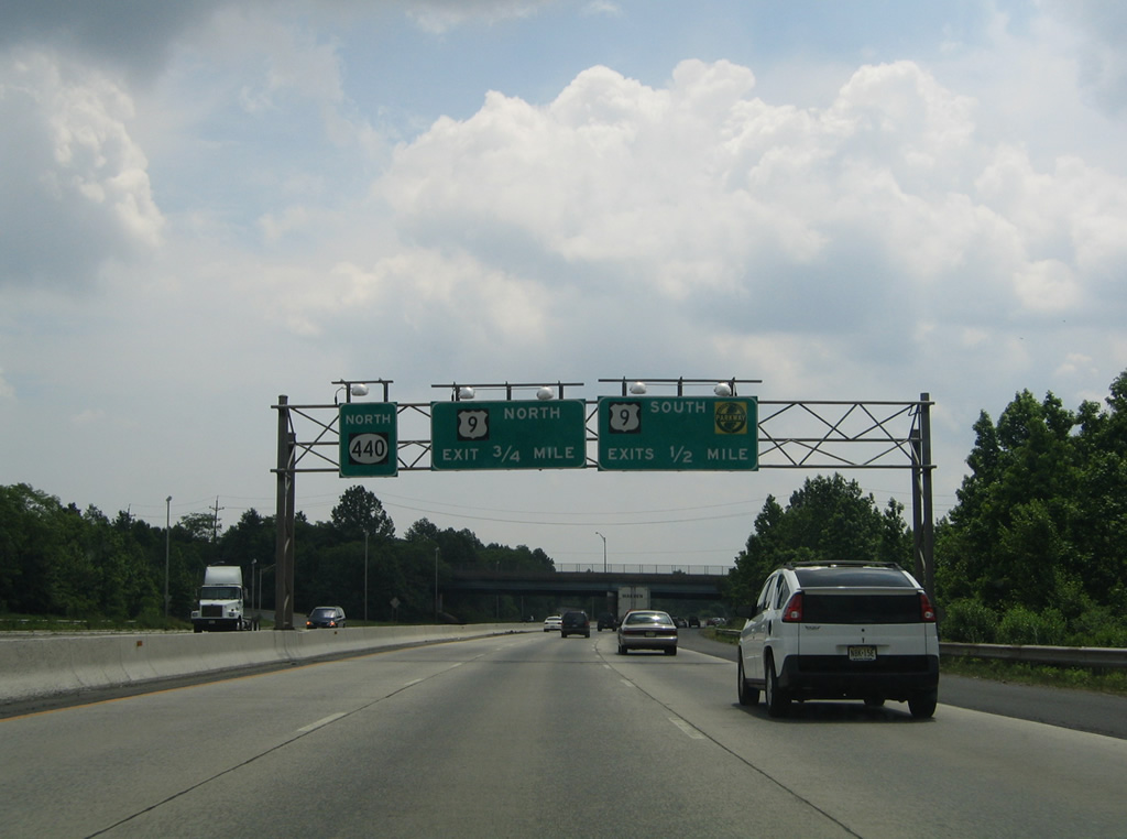
A loop ramp follows in one half mile onto Riverside Drive east ahead of its merge onto U.S. 9 south to the Edison Bridge across the Raritan River.
06/13/05
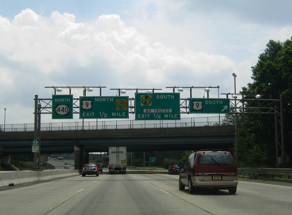
U.S. 9 parallels the Garden State Parkway south from Woodbridge township into the borough of Sayerville and city of South Amboy. The two commingle southward to Cape May.
06/13/05
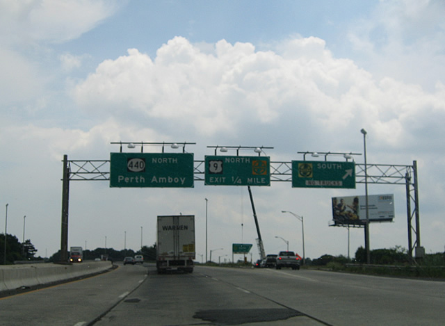
A direct ramp connects Route 440 north with the Garden State Parkway south to Matawan, Middletown and Atlantic City. A 15-lane bridge along the Parkway spans the Raritan River just south of Keasbey. Trucks are restricted from the toll road south through Exit 105.
06/13/05
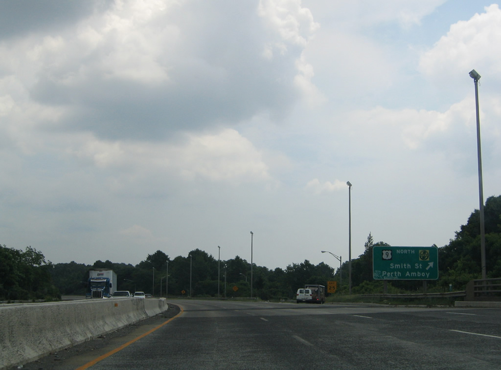
A loop ramp joins U.S. 9 north while a second ramp provides access to Smith Street (CR 656) west via the Ford Street Connector. U.S. 9 parts ways with the Garden State Parkway north nearby to a more eastern route to U.S. 1 at Avenel. The 167 mile route through New Jersey starts at the Cape May-Lewes Ferry and ends alongside U.S. 1-46 and I-95 across the George Washington Bridge.
06/13/05
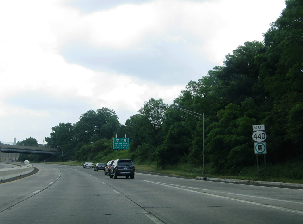
Route 440 winds northeast into the city of Perth Amboy ahead of the ramps for Route 184 (Harding Avenue) to Route 35 (Convery Boulevard).
06/13/05
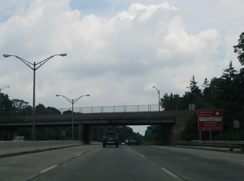
An on-ramp joins Route 440 north from adjacent CR 655 (Florida Grove Road) as motorists are alerted to the hazardous materials and wide load restrictions for the upcoming Outerbridge Crossing.
06/13/05
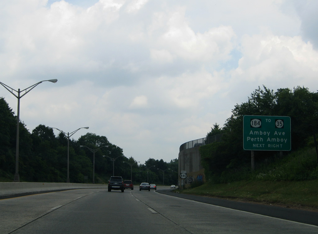
The approaching off-ramp meets Route 184 (Pfeiffer Boulevard) east at Harding Avenue. A service road leads east from the ramp end to Grove Street east at Amboy Avenue while Route 184 follows Harding Avenue two blocks to end at Route 35 (Convery Boulevard).
06/13/05
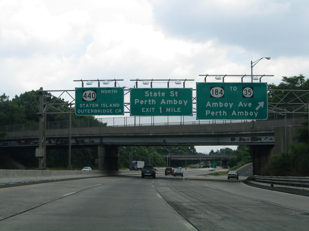
Carlock Avenue passes over Route 440 north at the Route 184 off-ramp. Route 184, a 1.37 mile route, provides a link between Route 35 and the Garden State Parkway. Route 35 travels south through Perth Amboy to Sayreville and South Amboy and north through Woodbridge township to end at Route 27 in Rahway.
06/13/05
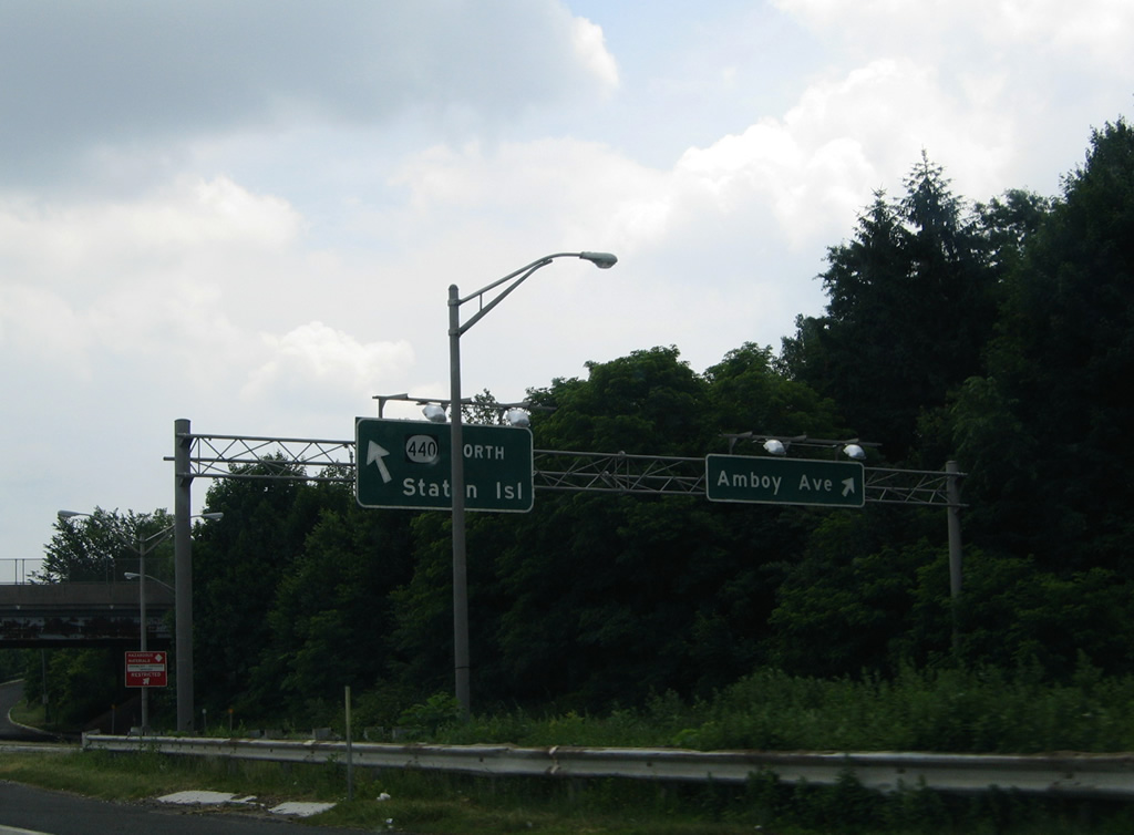
The aforementioned service road splits into a return ramp for Route 440 north from Route 184 east and Amboy Avenue (CR 653).
06/13/05
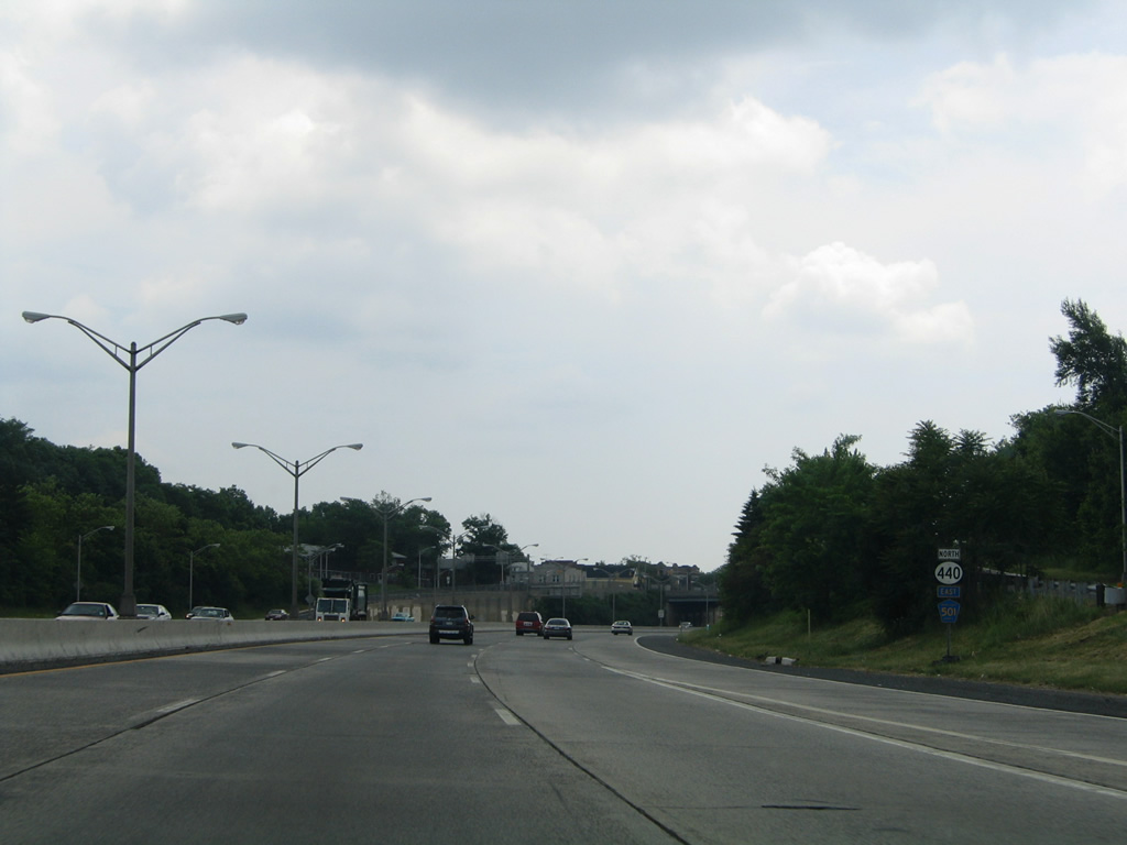
A Middlesex County 501 pentagon appears below a Route 440 north reassurance marker at the Route 184 on-ramp. CR 501 overlaps with both Route 184 and 440 east from the Garden State Parkway to the Outerbridge Crossing.
06/13/05
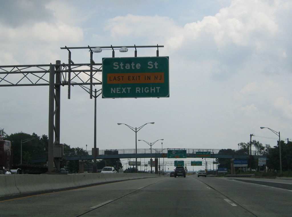
A wye interchange departs next as the final New Jersey exit for State Street (CR 611) and High Street.
06/13/05
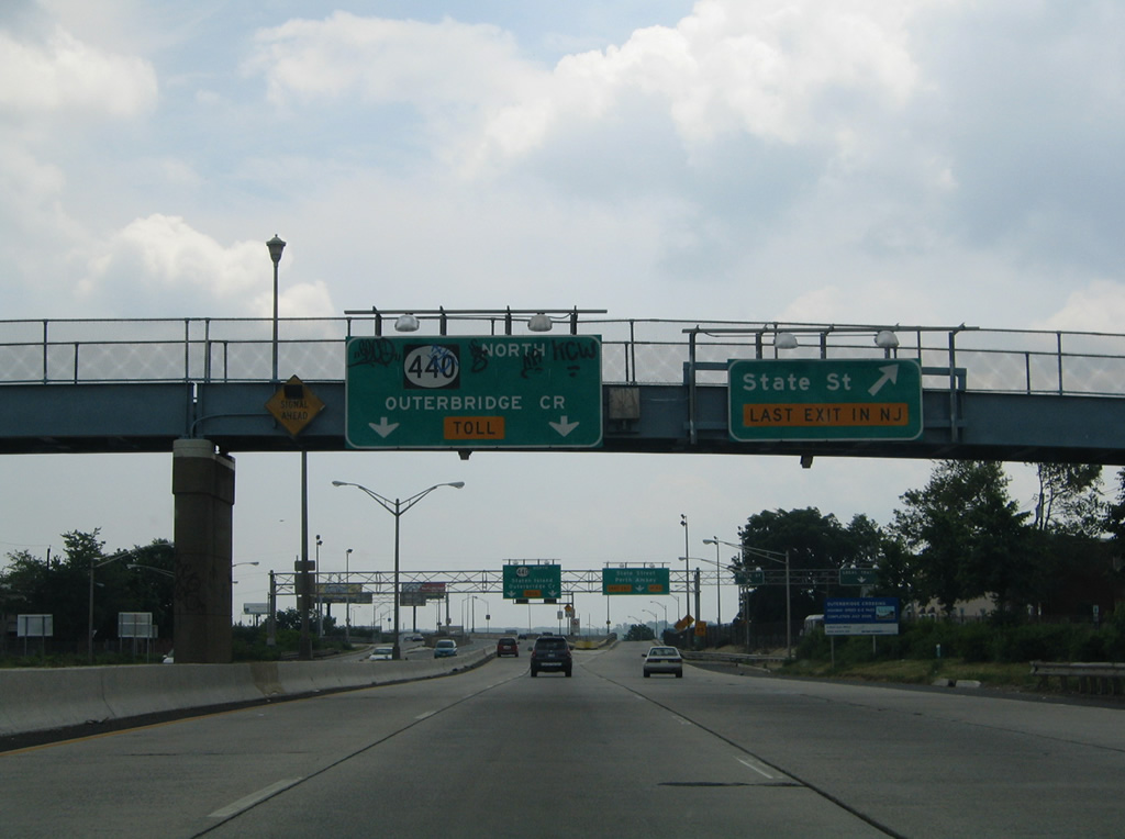
The right lane peels away from Route 440 north for State and High Streets. Modifications to the wye for CR 611 were completed on February 19, 2009. Work expanded the exit to include ramps with High Street, a multi-lane boulevard looping east from CR 611 to Habortown. Construction on the $21 million Route 440-High Street Connector project commenced in April 2007.1
06/13/05
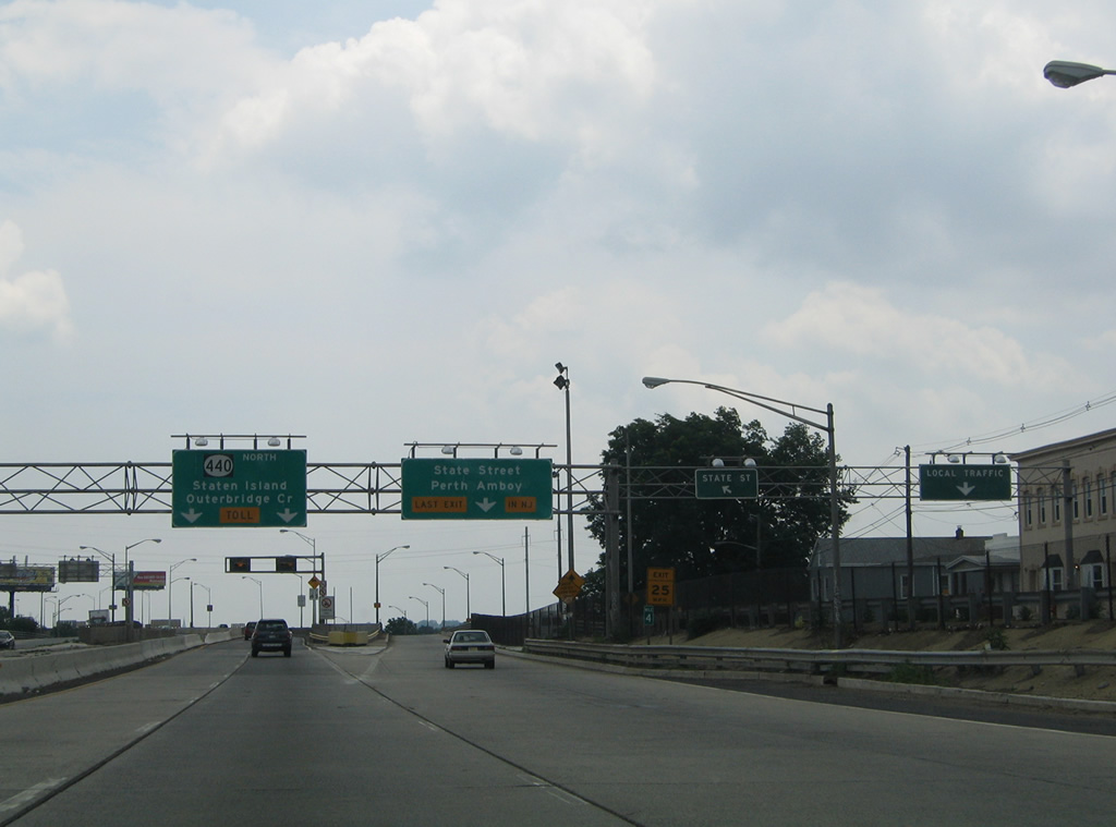
Parallel Grove Street includes a slip ramp onto the State and High Street flyover ramp as Route 440 prepares to elevate onto the Outerbridge Crossing into Staten Island, New York.
06/13/05
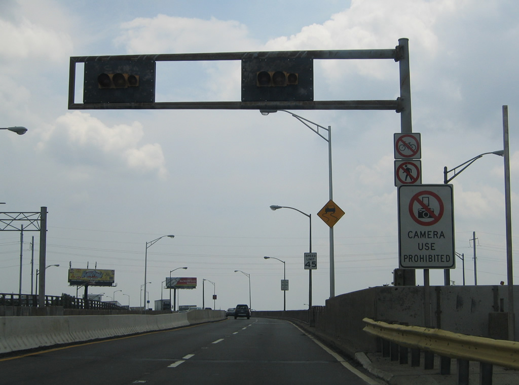
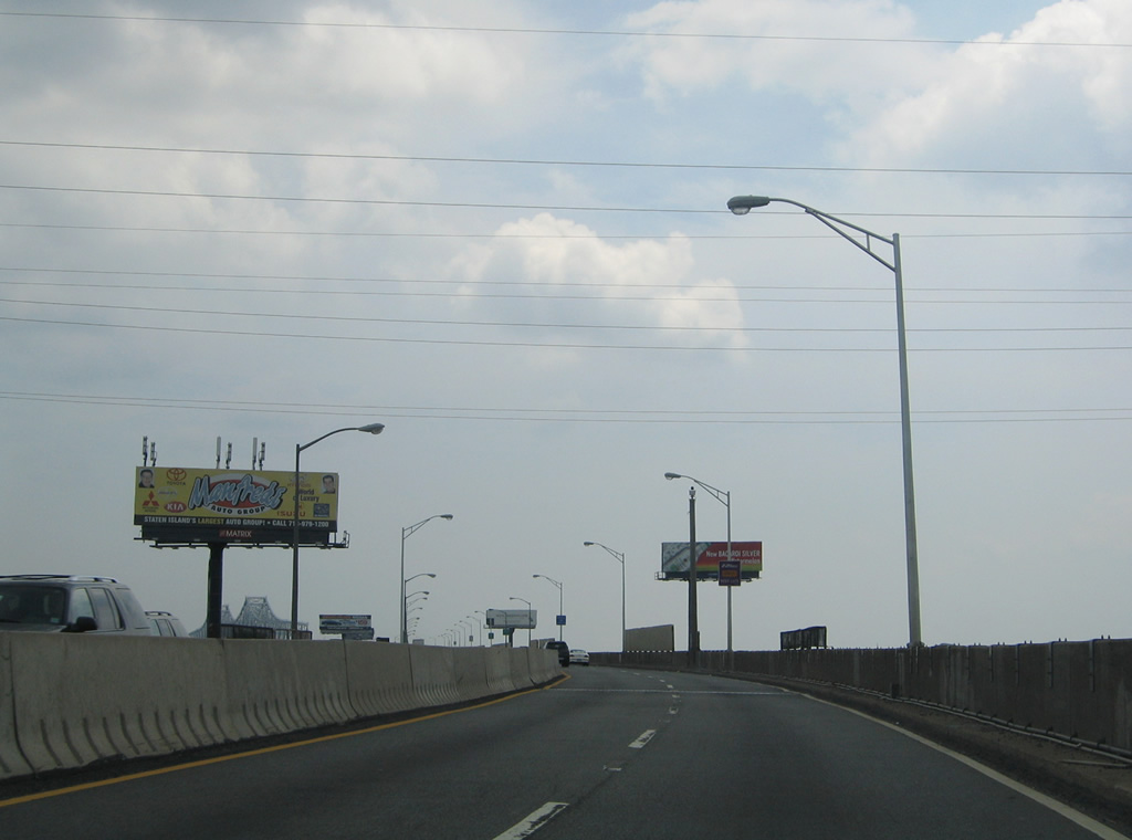
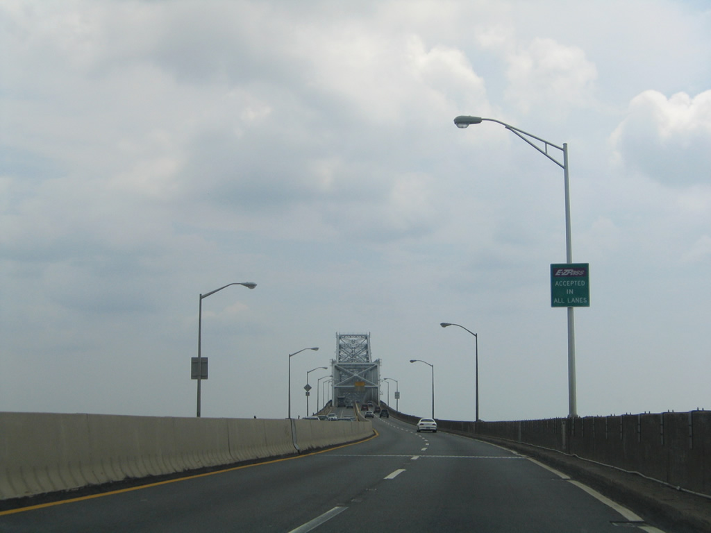
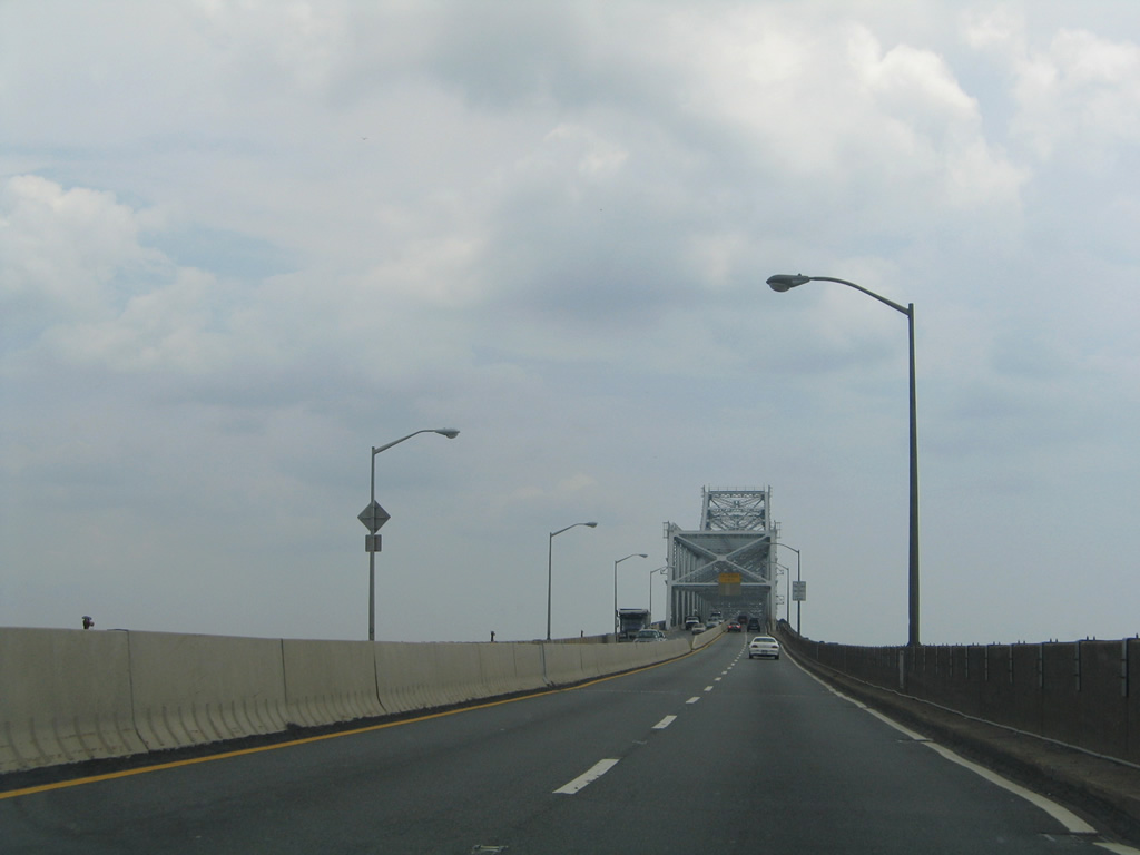
Route 440 north elevates from West End Avenue and State Street onto the Outerbridge Crossing at Ploughshare Point on the Arthur Kill. The cantilever bridge varies with a 42 to 50 feet roadway.2 Speed limits are set at just 45 miles per hour due to the narrow width and lack of shoulders.
06/13/05
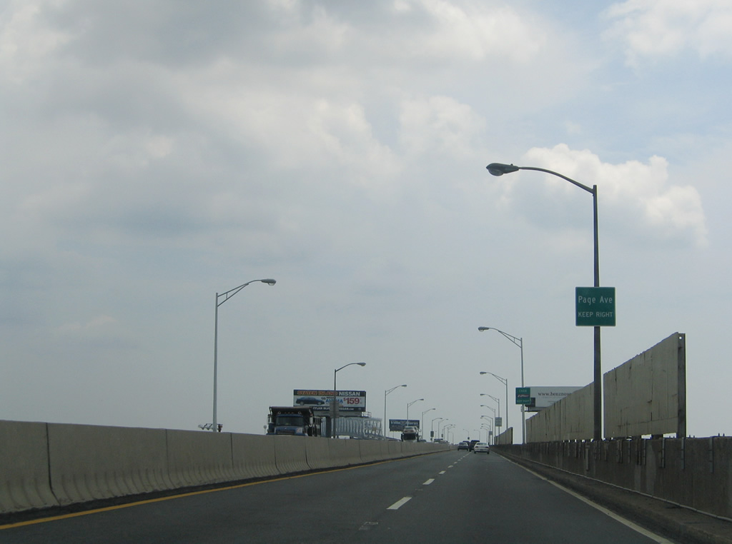
A small guide sign advises travelers of the first Staten Island exit for Page Avenue south to Tottenville.
06/13/05
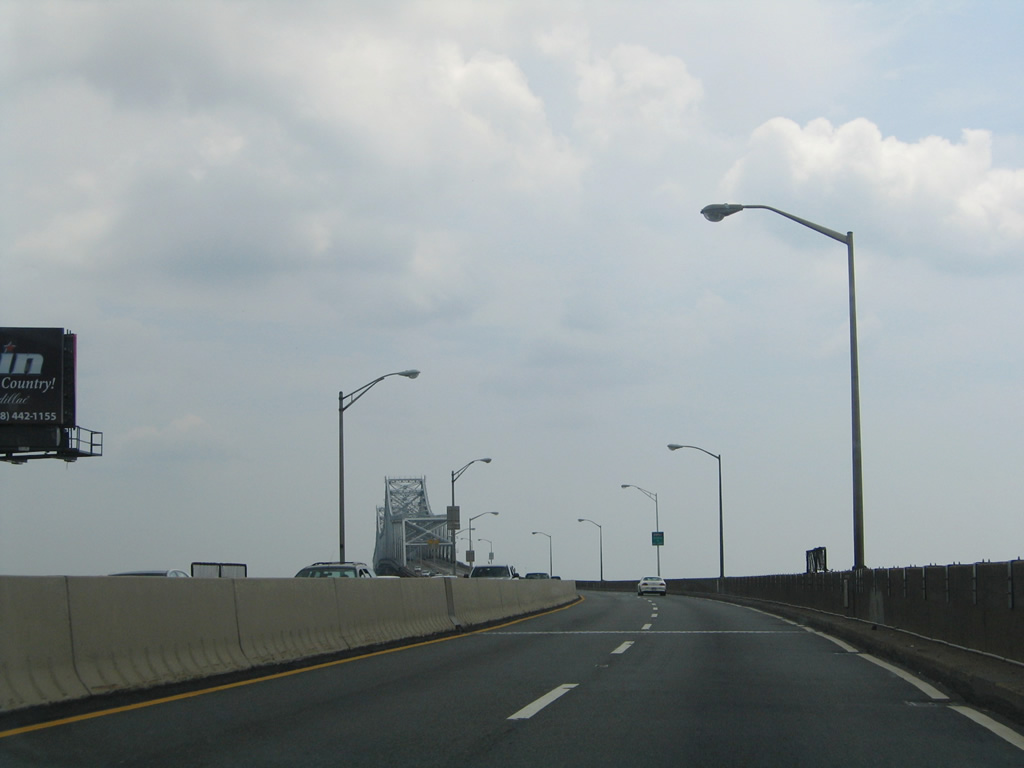
A curved section of the Outerbridge Crossing precedes the Arthur Kill. The bridge crests with a 750 foot long center span at 143 feet above the channel below.2
06/13/05


References:
- "High Street connector to Route 440 opens." Thursday, 19 February 2009 17:11 Notices, city of Perth Amboy.
- Facts & Info - Outerbridge Crossing - The Port Authority of NY & NJ, The Port Authority of New York & New Jersey.
Photo Credits:
- Alex Nitzman, Justin Cozart: 06/13/05
Connect with:

Page Updated Monday April 28, 2014.