
State Route 158
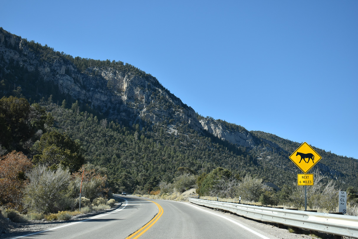
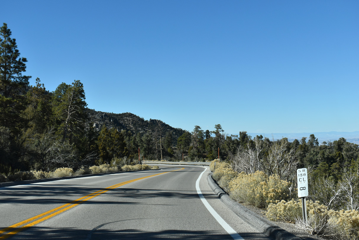
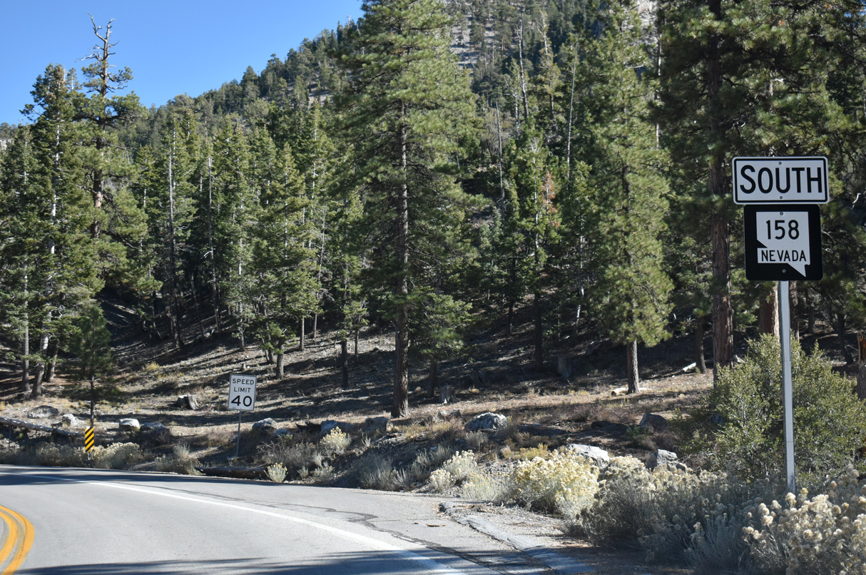
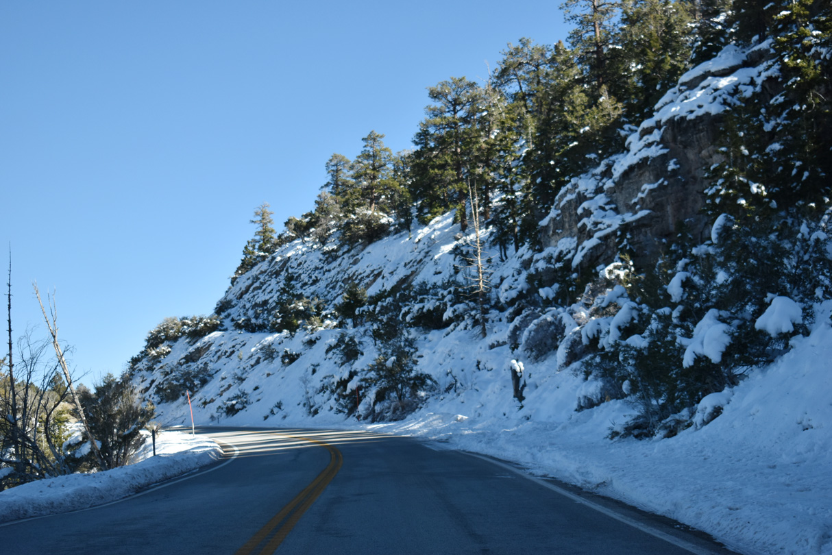
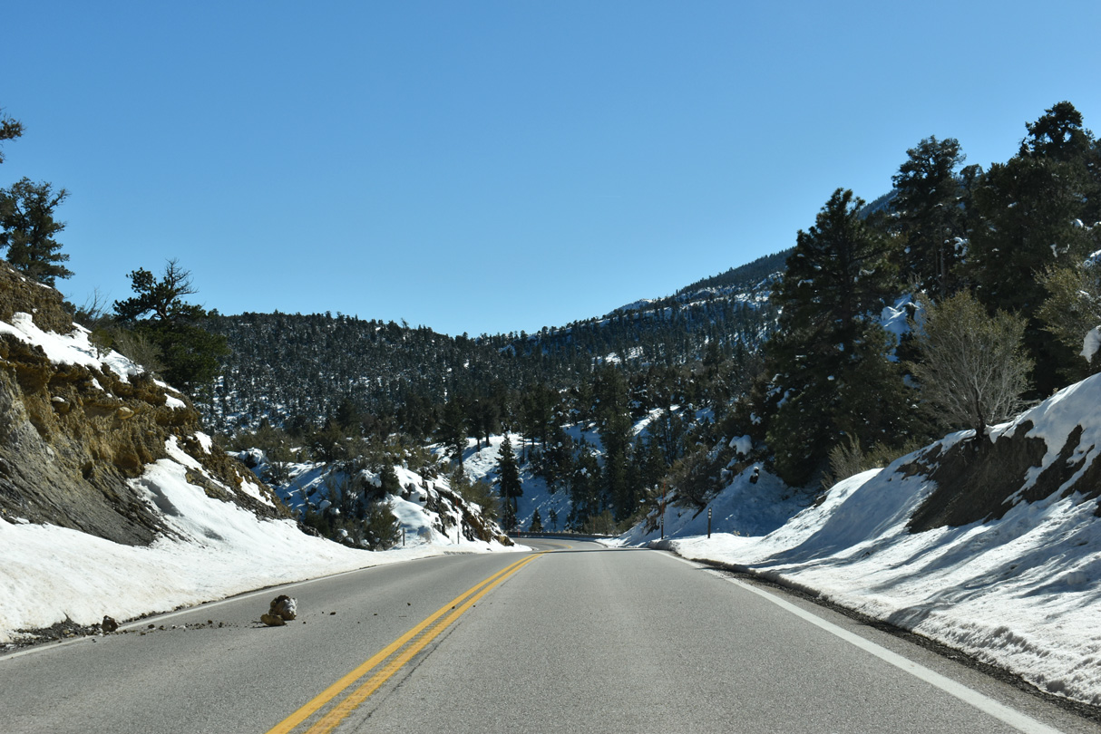
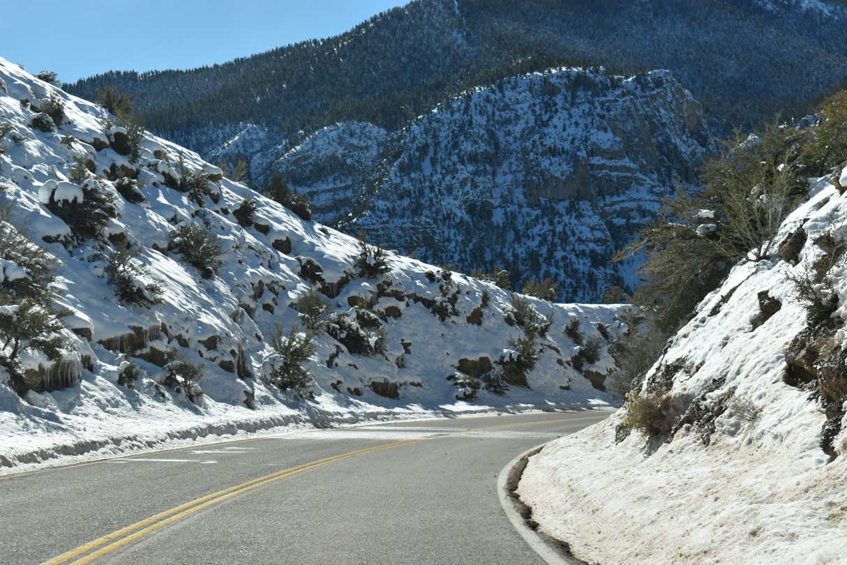
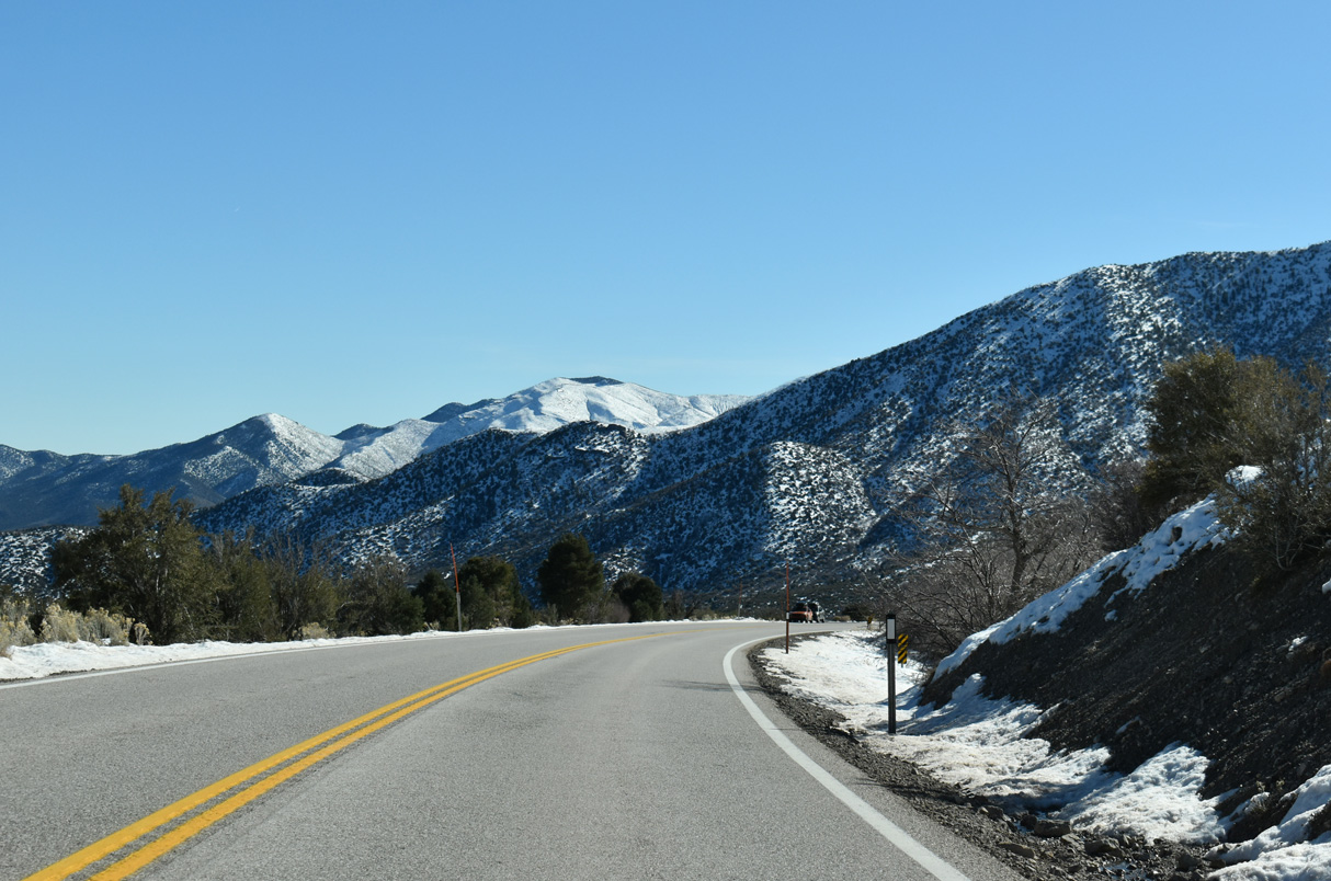
Nevada State Route 158 follows Deer Creek Road near Mount Charleston, joining SR 156 (Lee Canyon Road) with SR 157 (Kyle Canyon Road). The two lane road winds along an 8.853-mile course between Fletcher and Angel Peaks within Humboldt-Toiyabe National Forest.
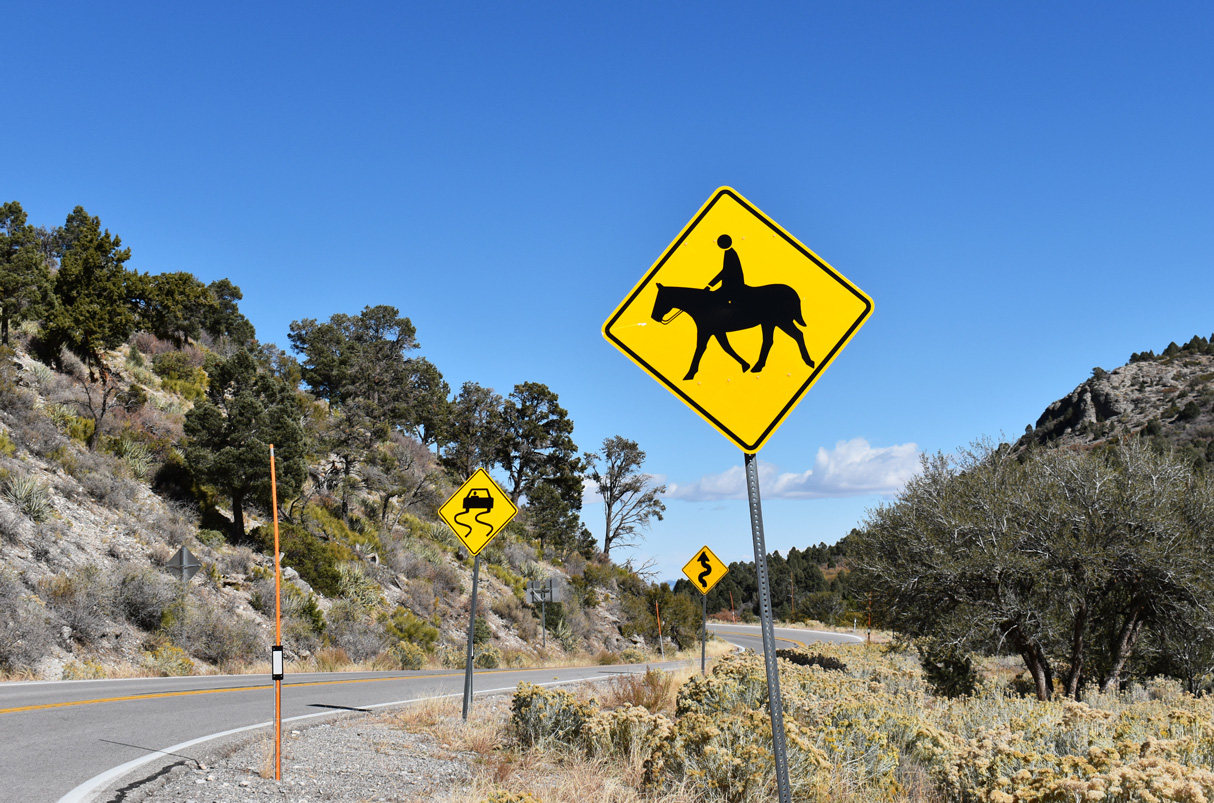
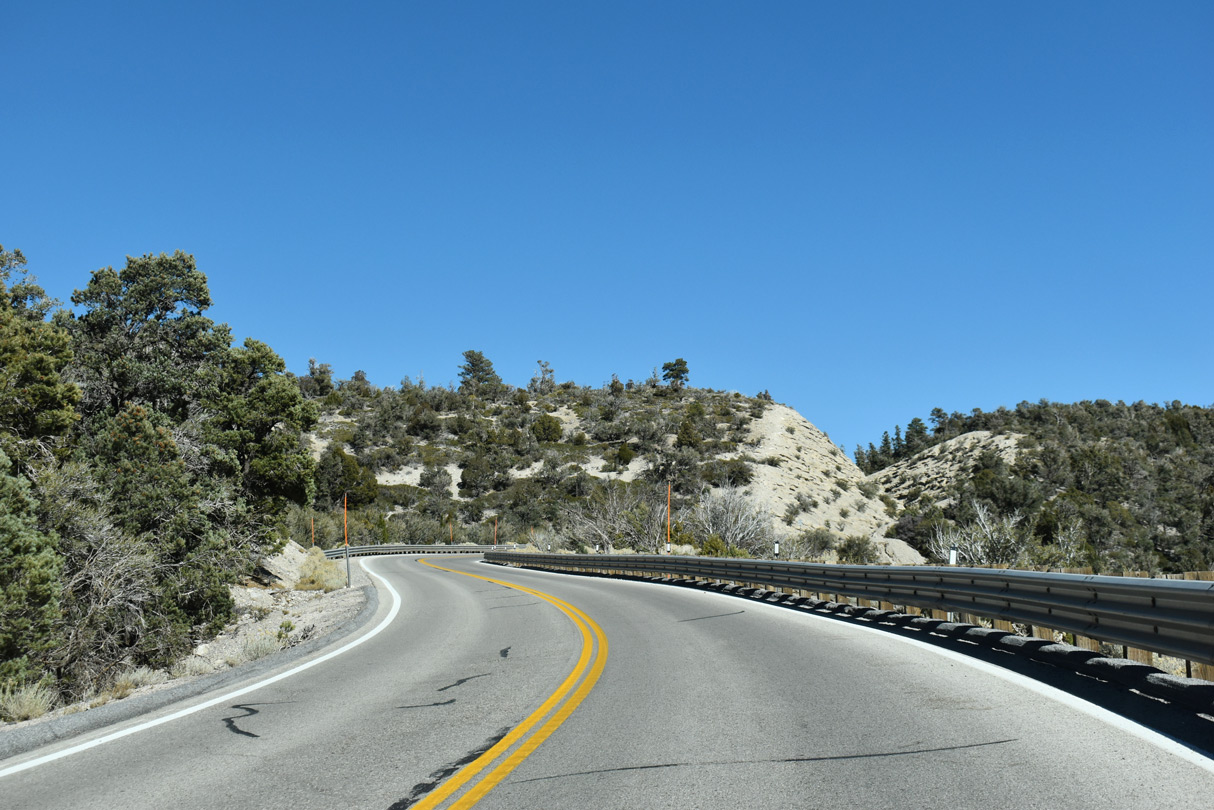
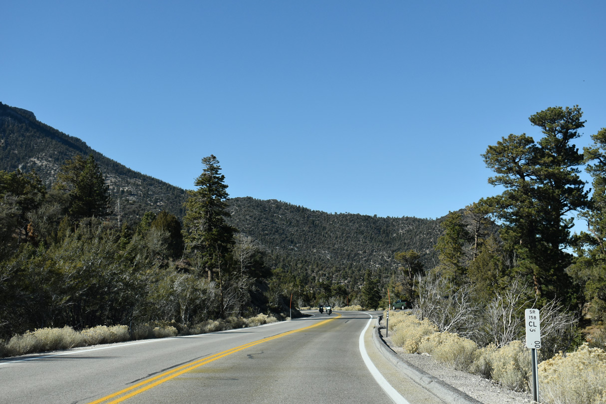
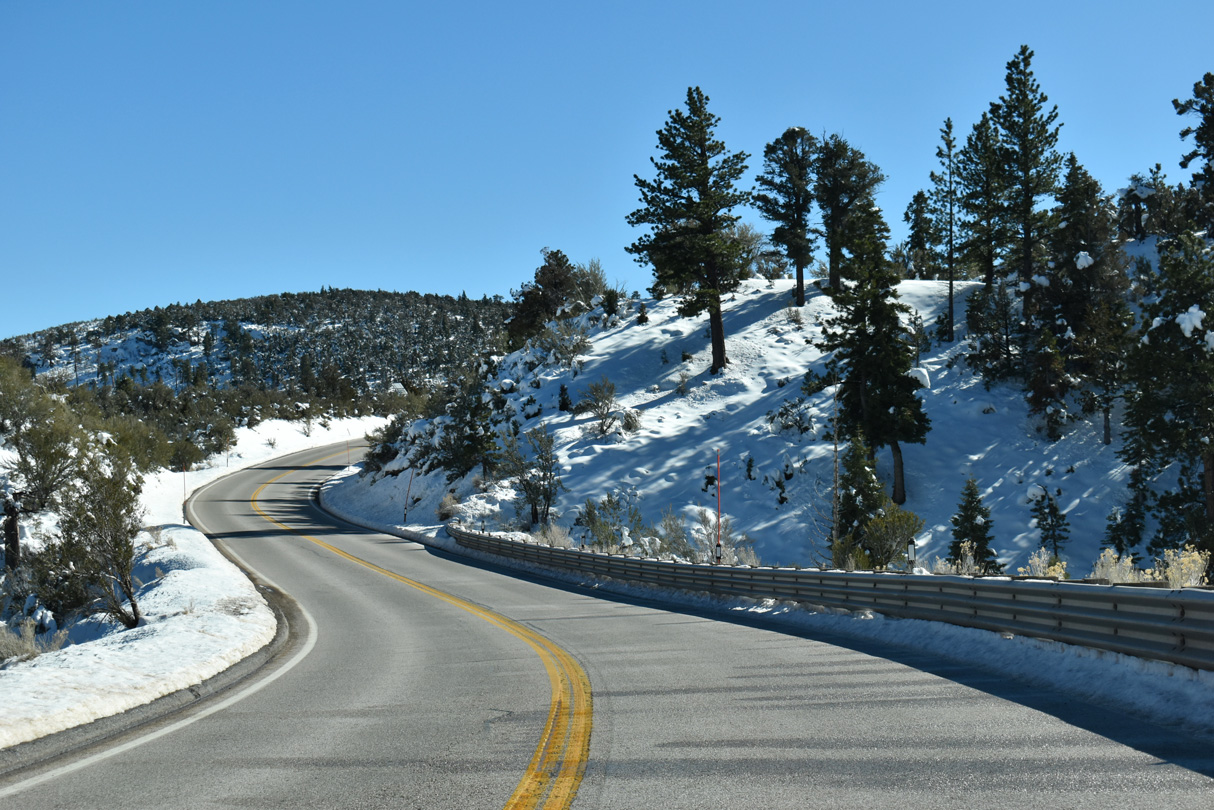
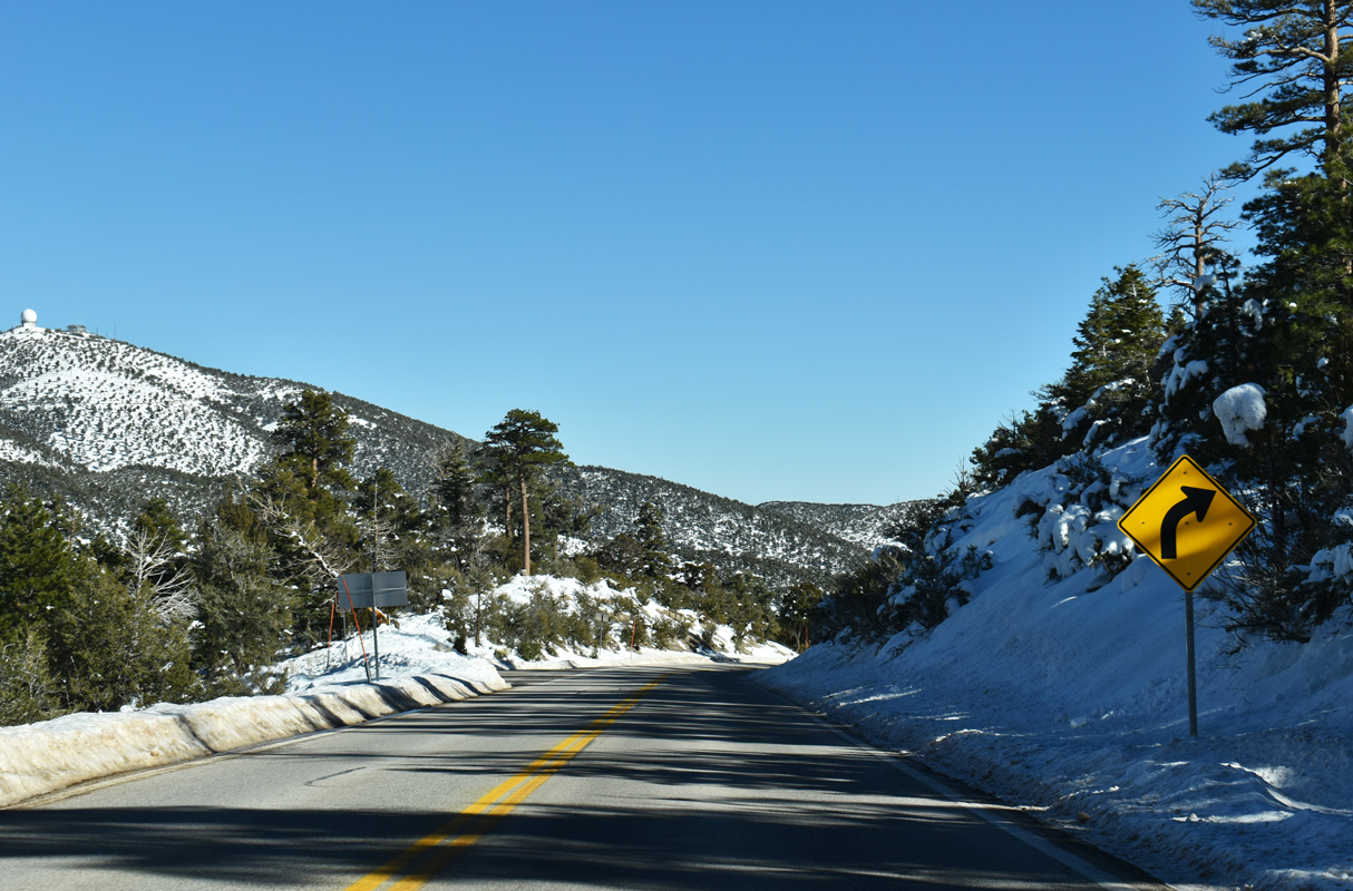
SR 158 follows Deer Creek Road along a windy course north from SR 157 (Kyle Canyon Road) east of Fletcher Canyon.
10/23/25
10/23/25
10/23/25
10/23/25
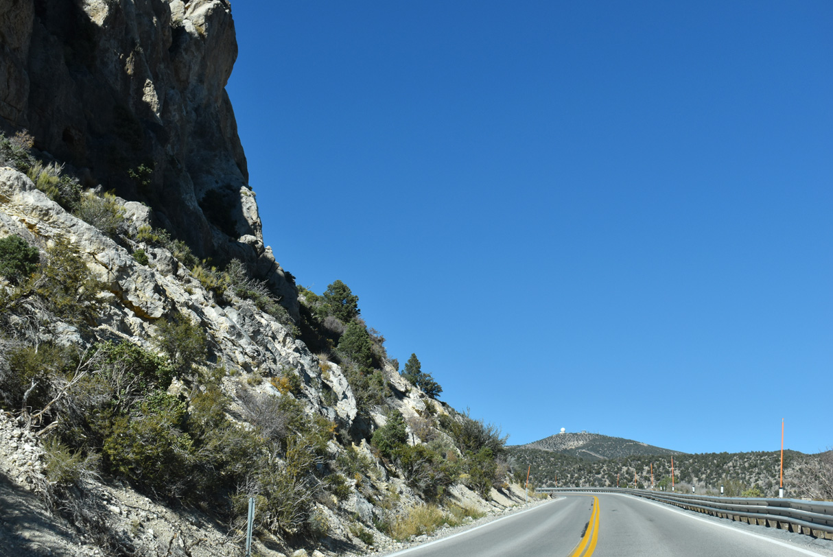
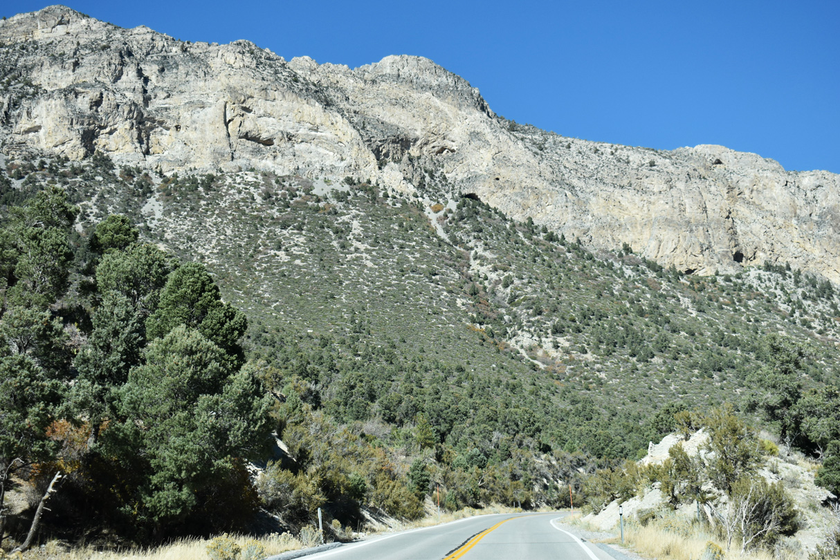
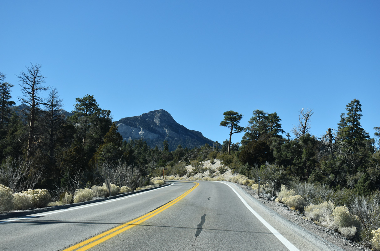
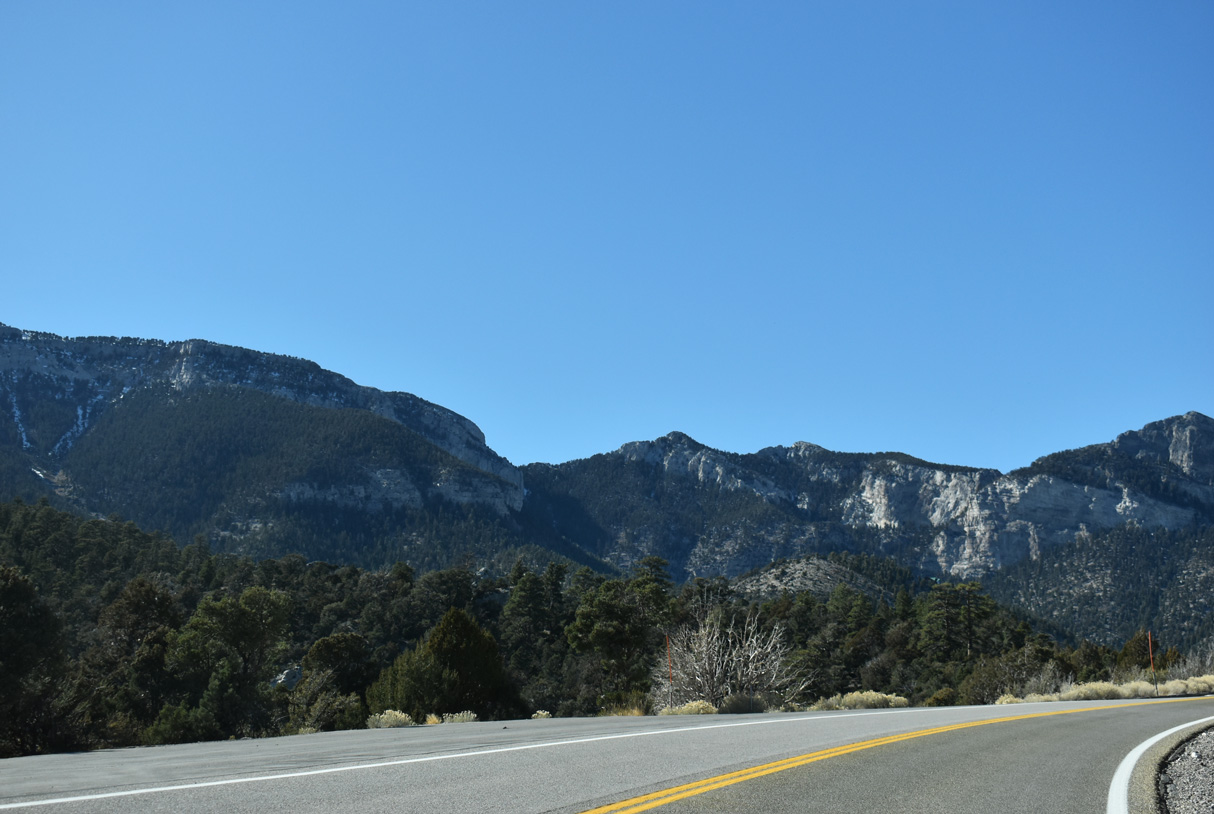
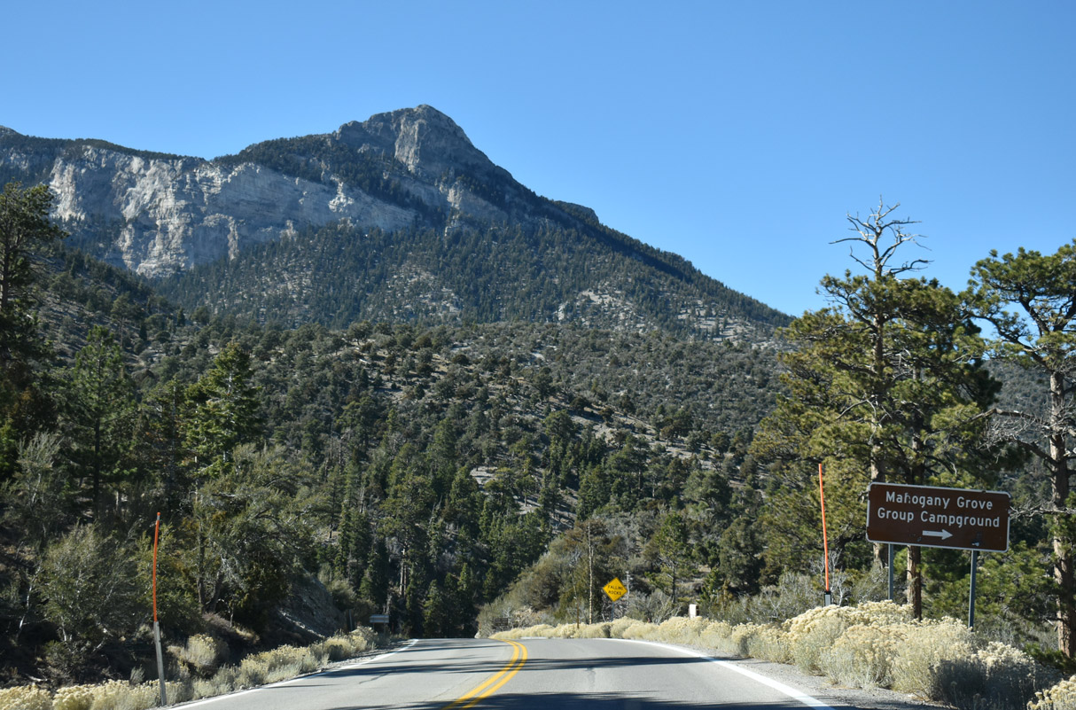
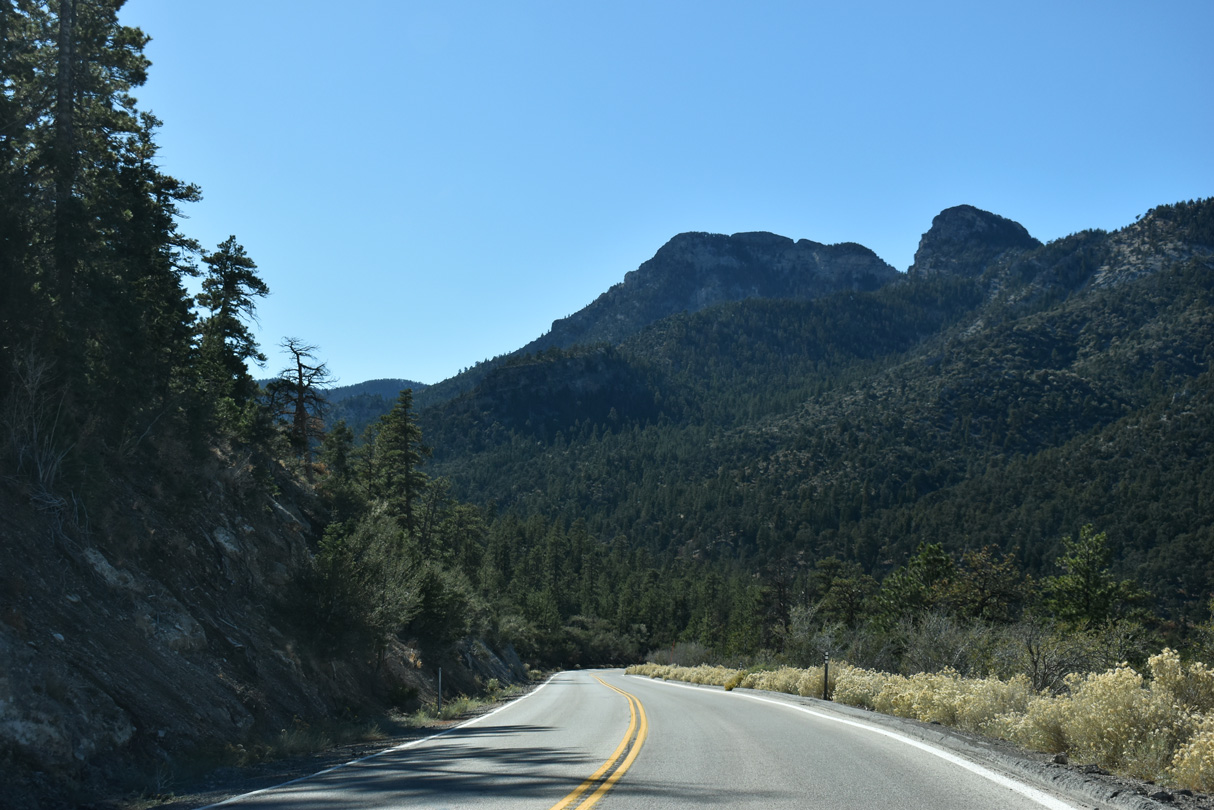
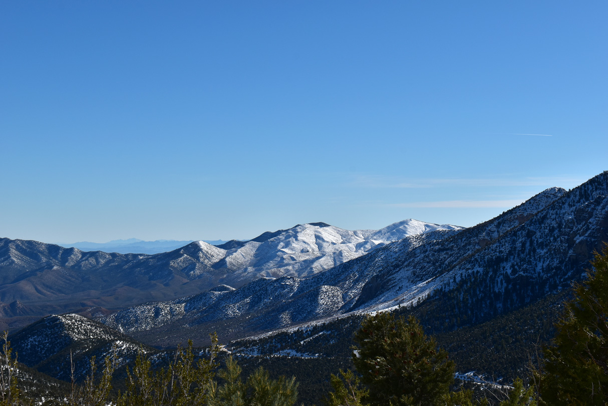
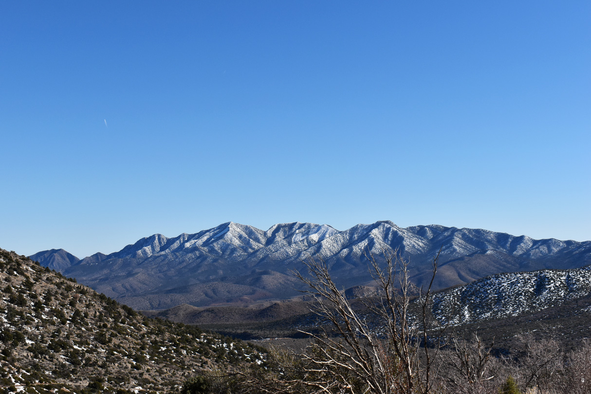
Angel Peak (8,881 feet) rises in the distance as SR 158 (Deer Creek Road) advances northerly through the Spring Mountains.
10/23/25
10/23/25
10/23/25

10/23/25
10/23/25
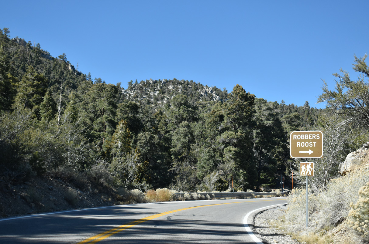
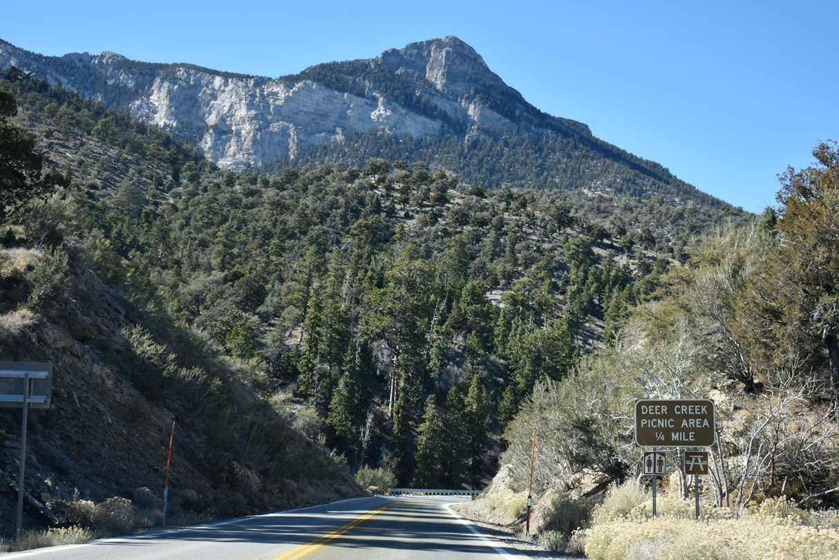
Robber's Roost Trail is a 0.2 mile hiking trail adjacent to Deer Creek Road that leads to caves with rock climbing options.
10/23/25
10/23/25
10/23/25
10/23/25
10/23/25
10/23/25
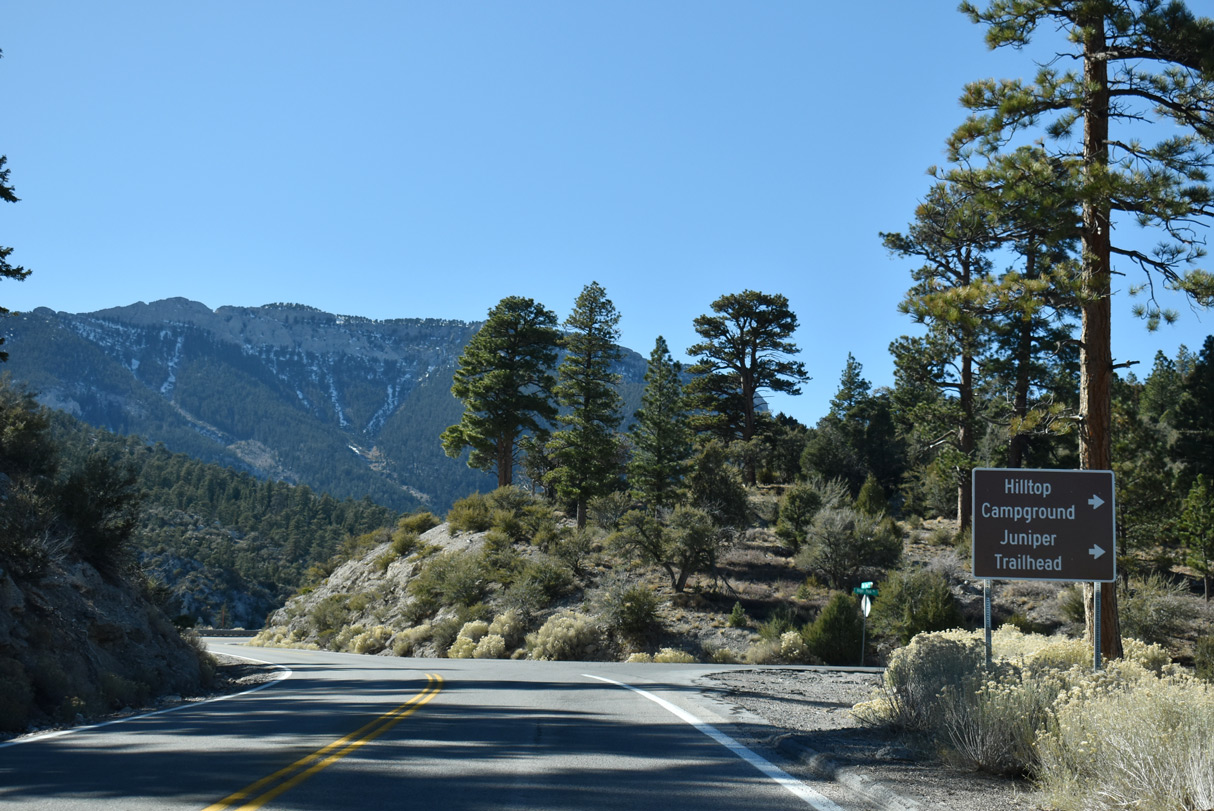
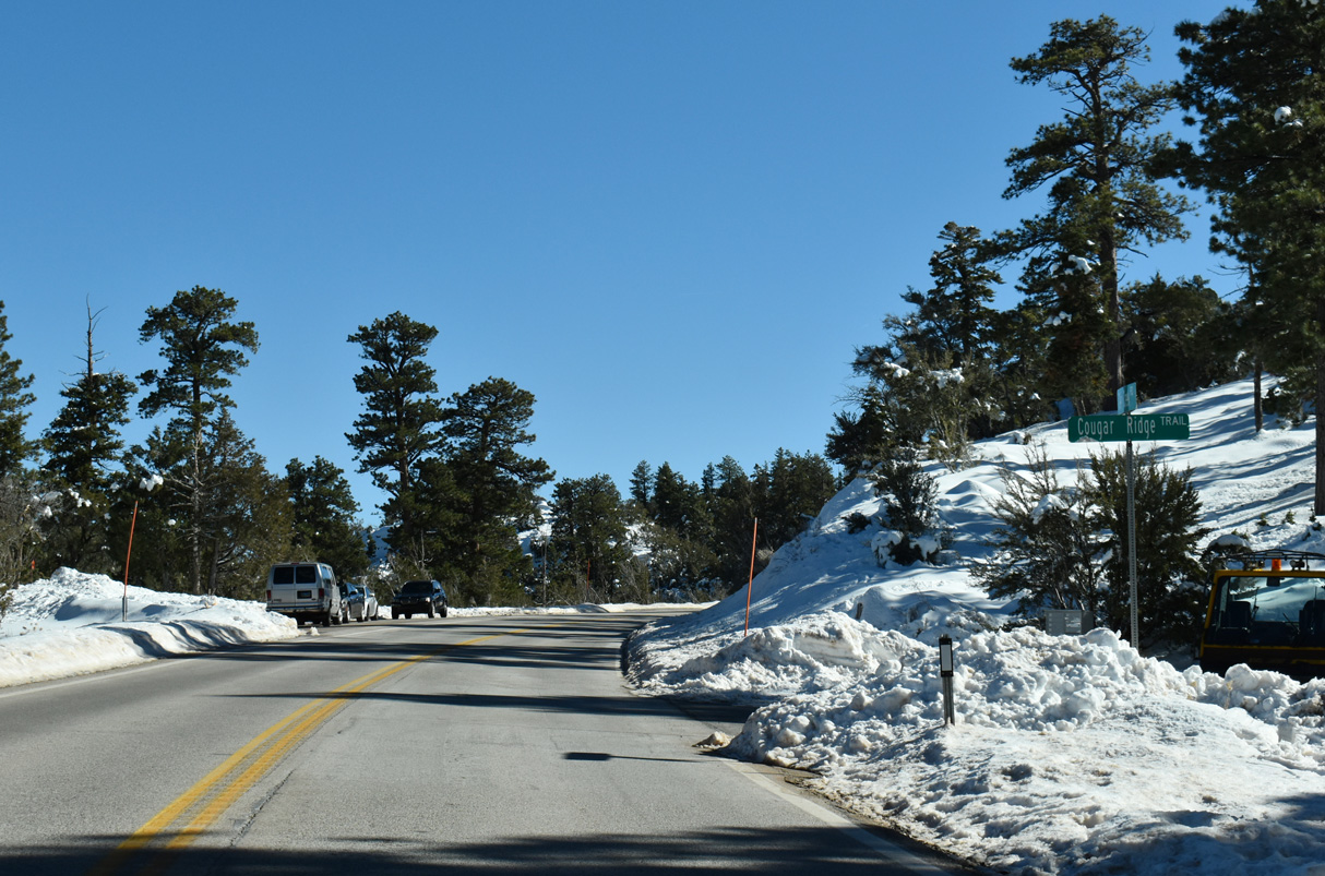
Angel Peak Road spurs north to the Hilltop Campground in addition to a junior and high school.
10/23/25
10/23/25
10/23/25
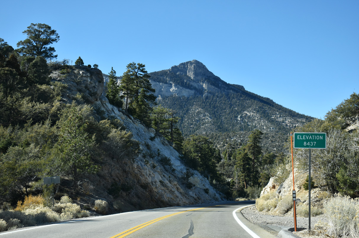
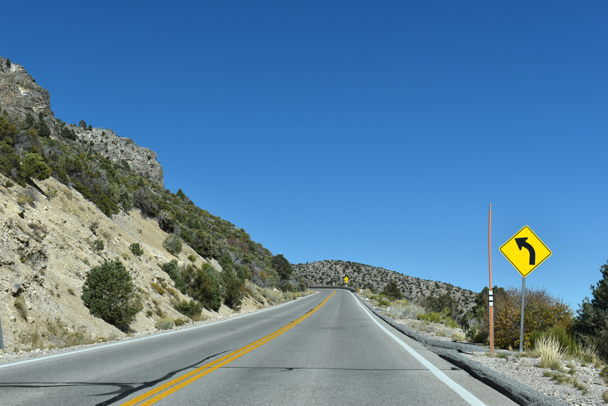
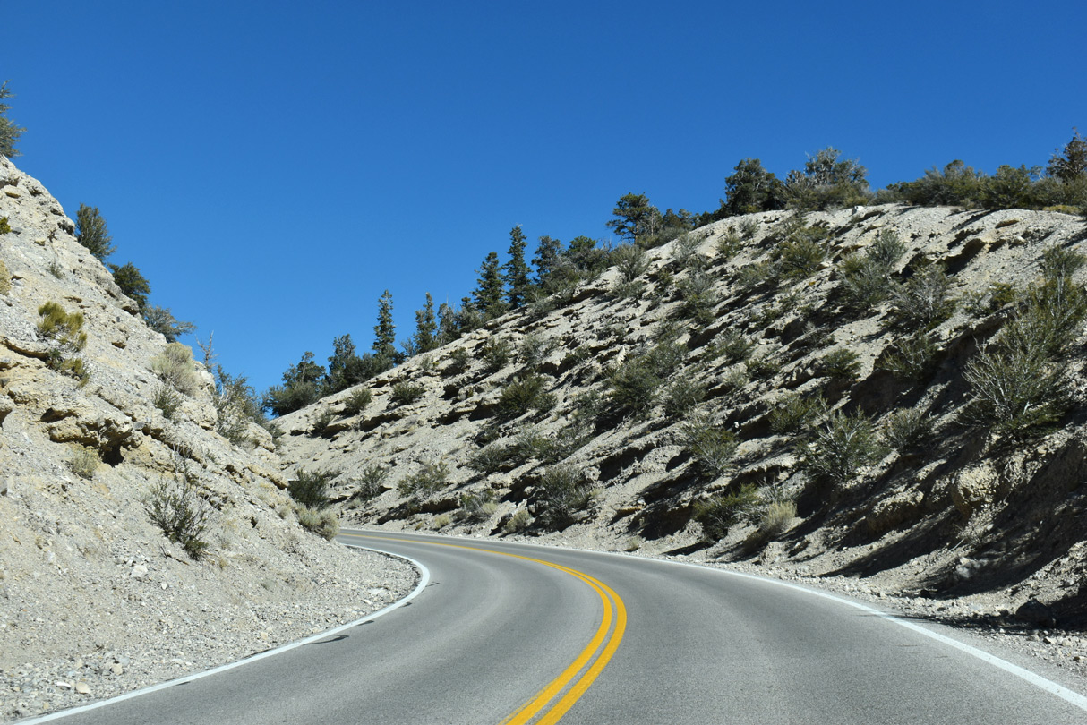
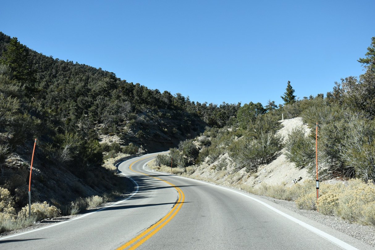
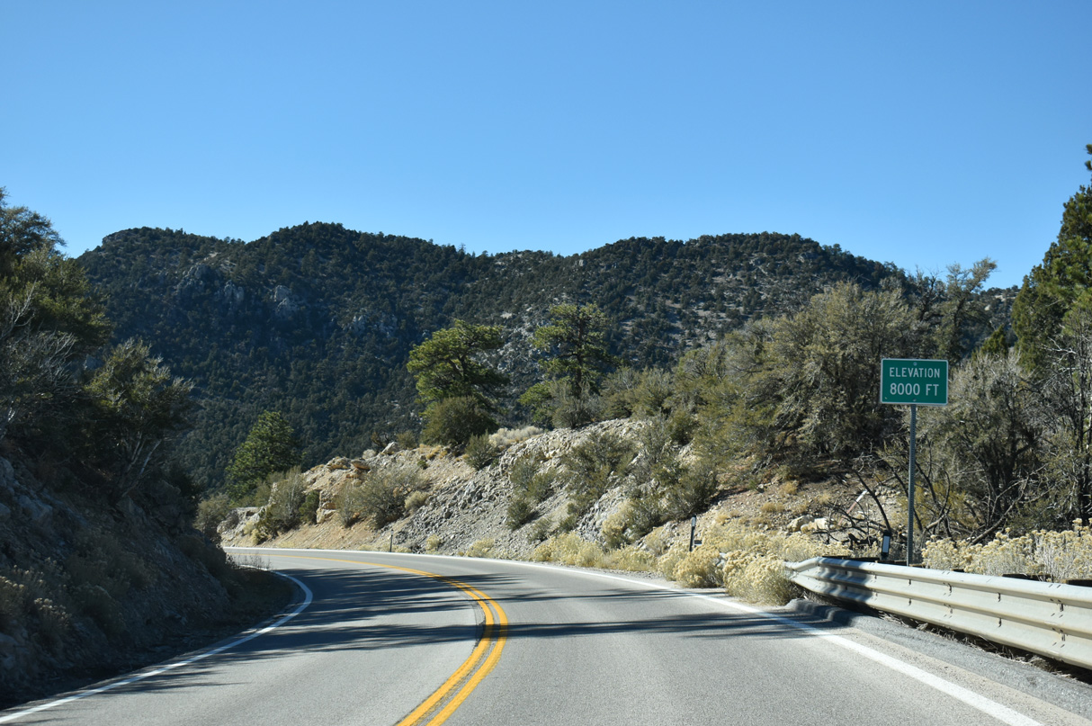
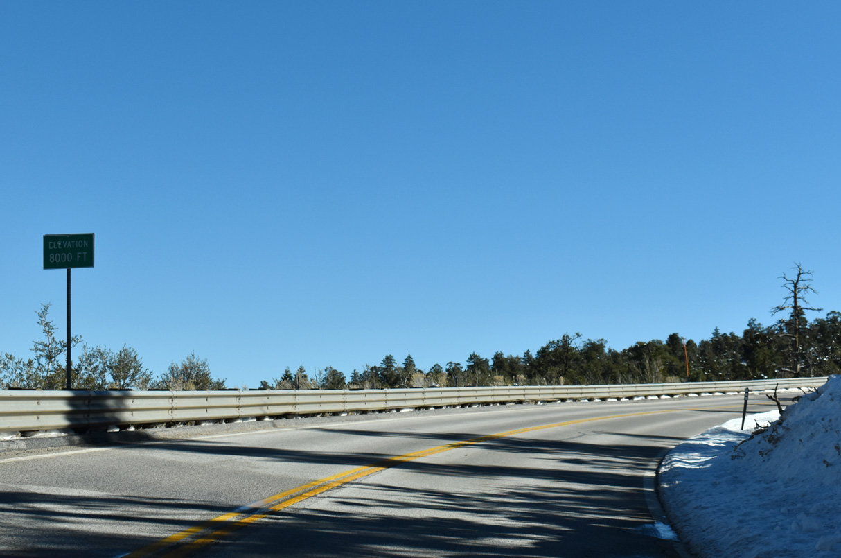
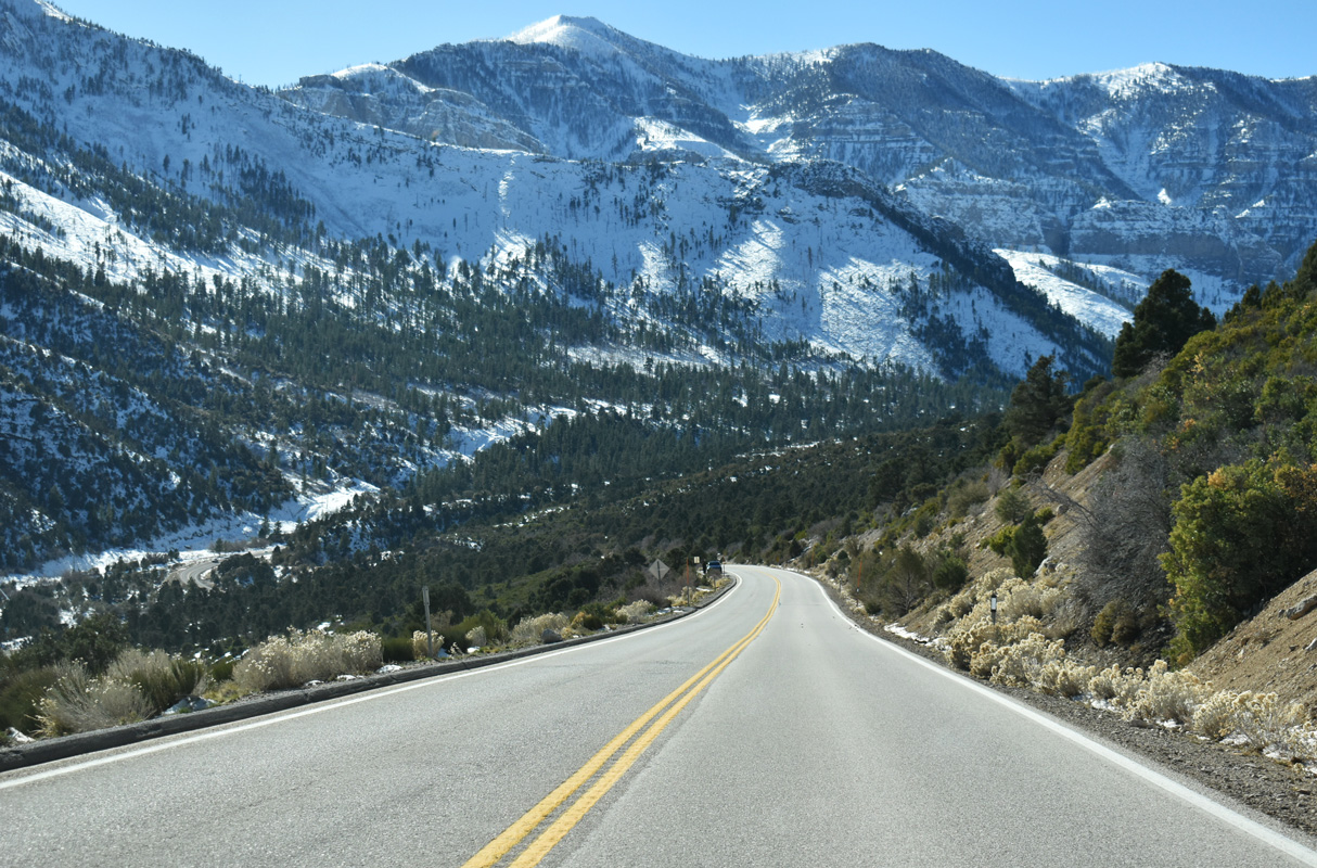
SR 158 north reaches its highest point at 8,437 feet west of Angel Peak Road.
10/23/25
10/23/25
10/23/25
10/23/25
10/23/25
10/23/25
10/23/25
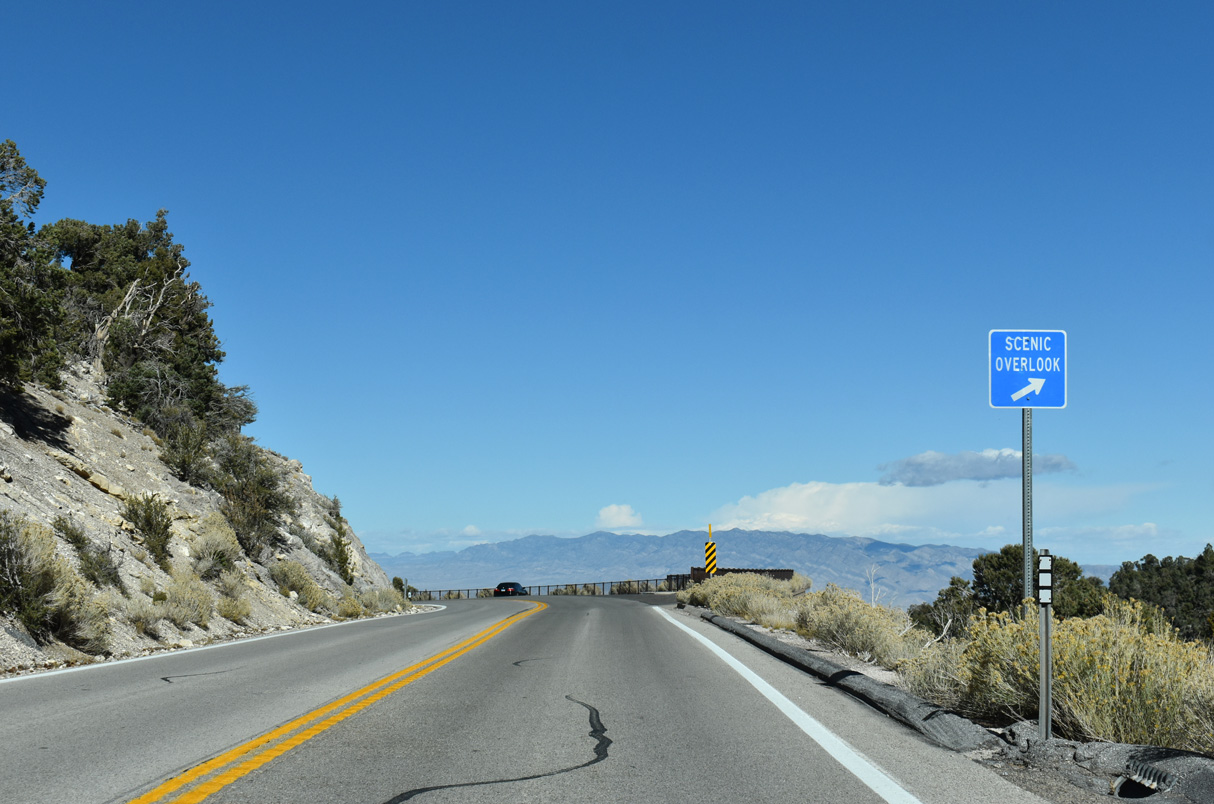
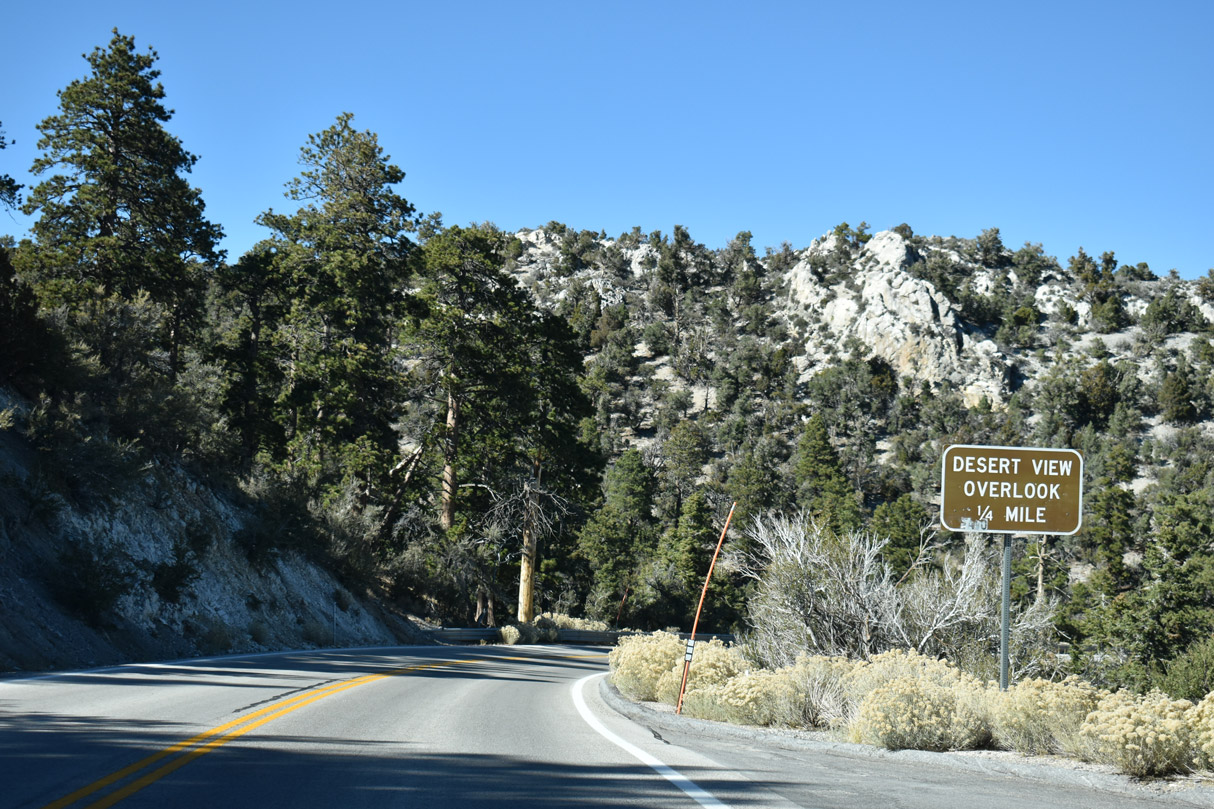
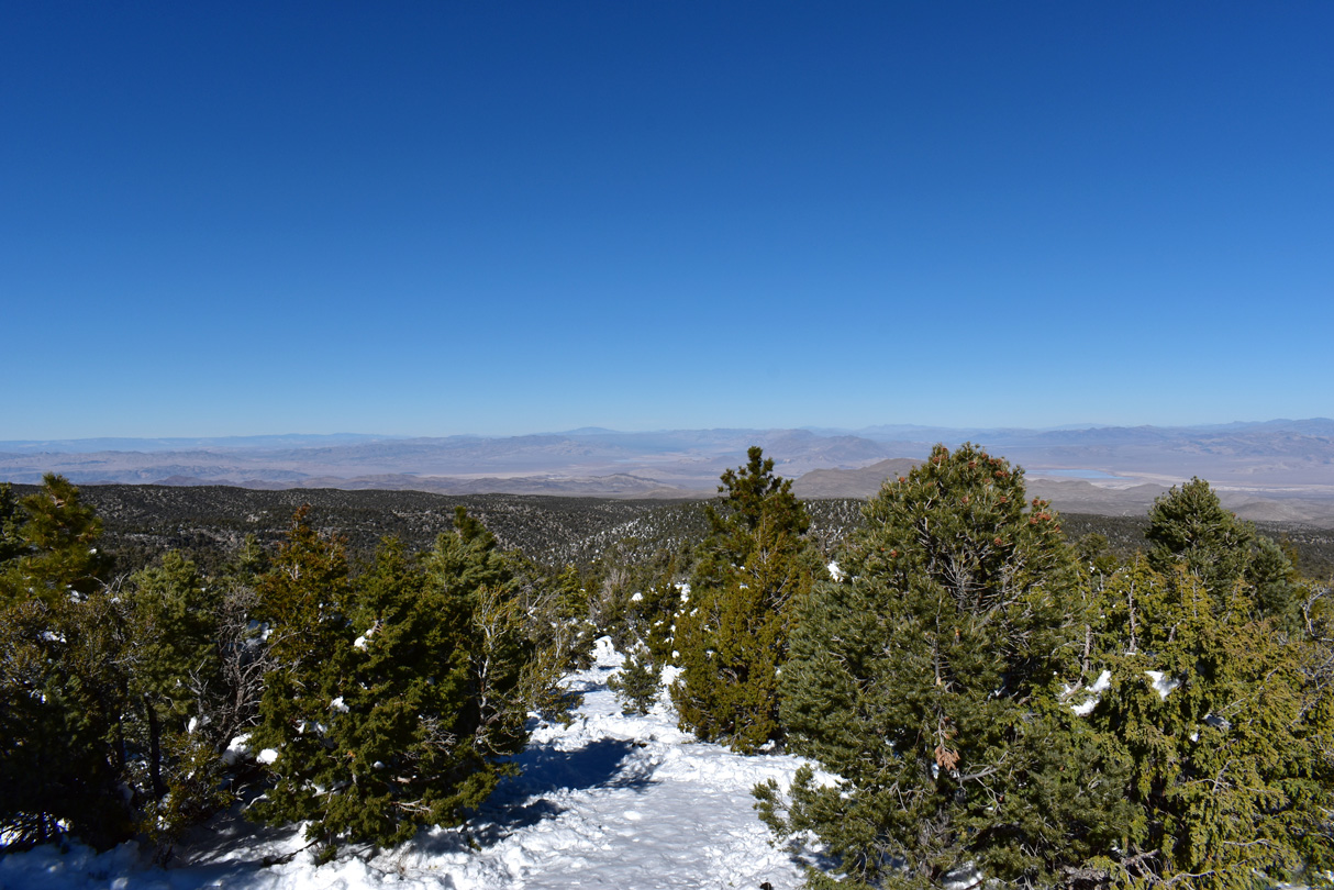
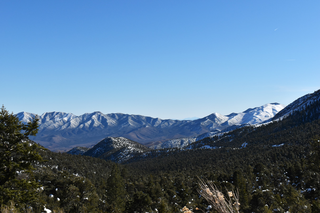
The Desert View Overlook along Deer Creek Road (SR 158) north.
10/23/25
10/23/25
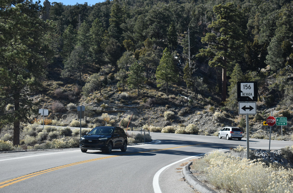
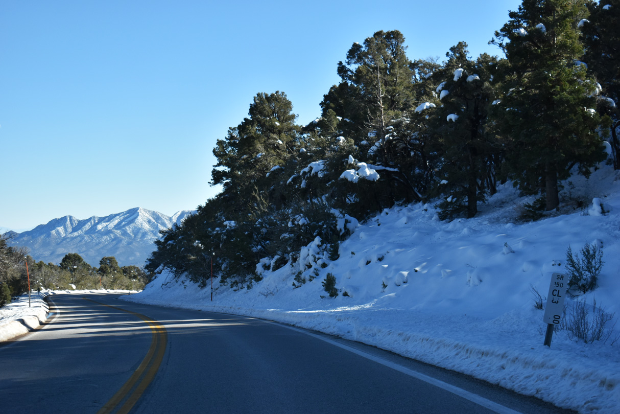
Less than one mile remains along SR 158 (Deer Creek Road) north. The state route ends 0.85 miles ahead at SR 156 (Lee Canyon Road) to U.S. 95.
10/23/25
10/23/25
10/23/25
10/23/25
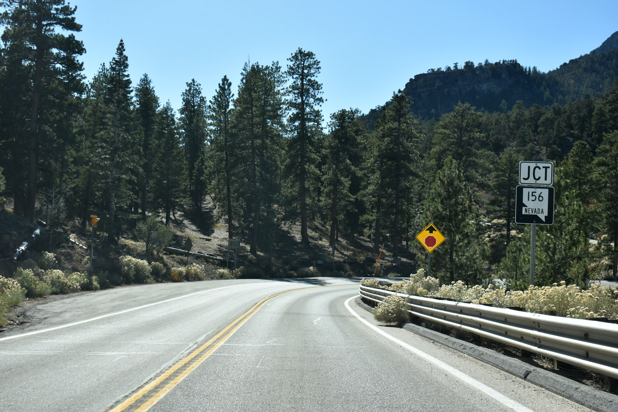
SR 156 travels from the Lee Canyon ski area 17.544 miles to U.S. 95 between Corn Creek and Indian Springs.
10/23/25
10/23/25
SR 156 lowers nearly 4,500 feet in elevation on the 14.1 mile course northeast to U.S. 95.
10/23/25
10/23/25
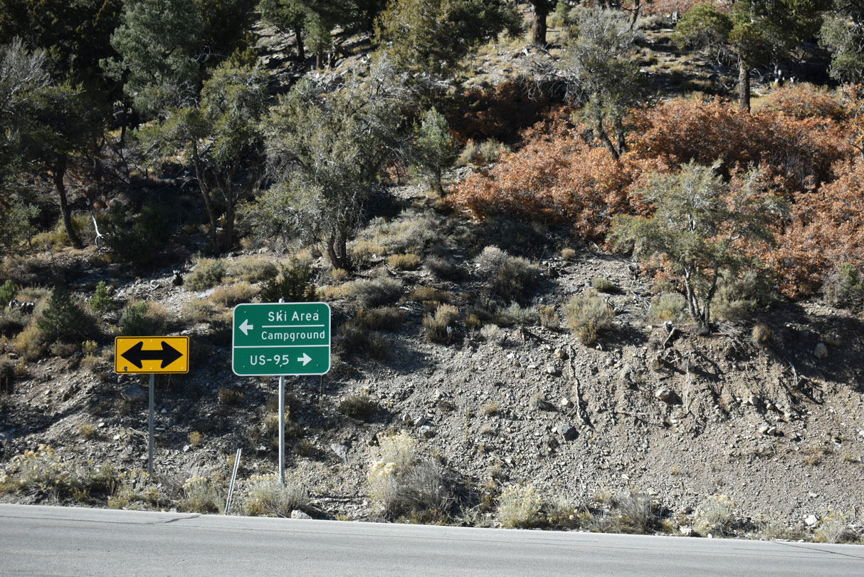
Lee Canyon is the only ski facility on Mount Charleston. The ski area is located 3.4 miles to the southwest.
10/23/25
10/23/25
State Route 158 angles 8.85 miles southeast along Deer Creek Road from SR 156 northeast of Lee Canyon on Mount Charleston.
10/23/25
10/23/25
10/23/25
11/24/25
11/24/25
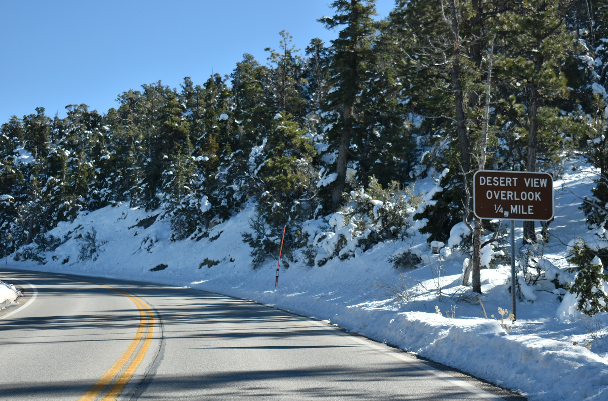
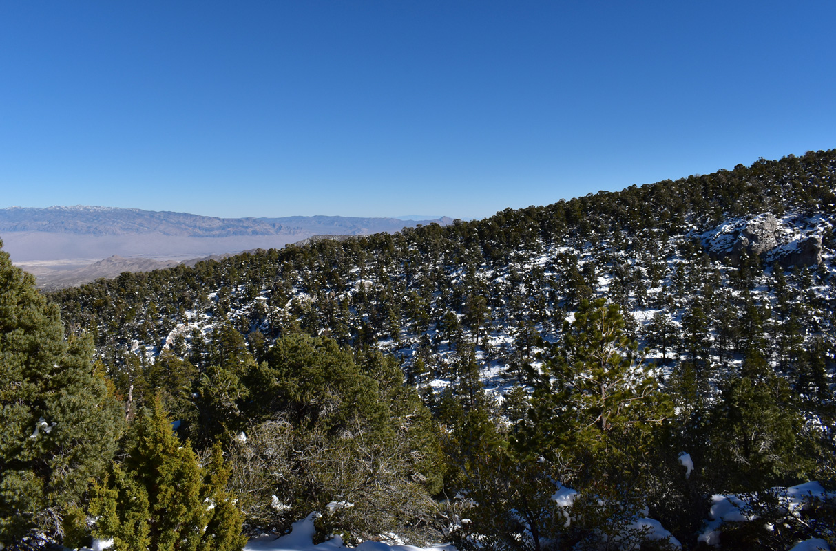
The Desert View Overlook is located along SR 158 between mileposts 8 and 7.
11/24/25
11/24/25
11/24/25
A winding footpath leads down from the parking area at the overlook to an observation area.
11/24/25
11/24/25
11/24/25
11/24/25
11/24/25
11/24/25
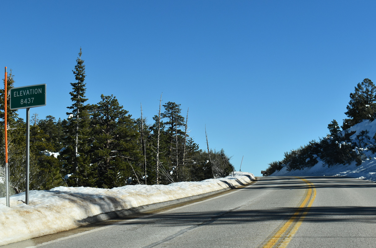
SR 158 (Deer Creek Road) peaks at an elevation of 8,437 feet above sea level.
11/24/25
11/24/25
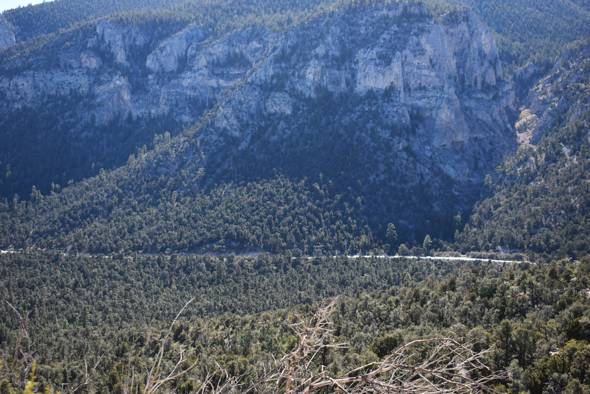
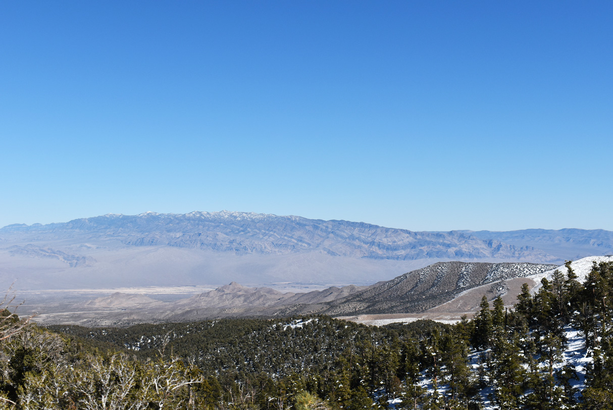
Fletcher Peak rises to the south of Deer Creek Road, topping out at 10,319 feet.
11/24/25
11/24/25
Angel Peak Road winds northeast from SR 158 (Deer Creek Road) to Spring Mountain Junior and Senior High School and a Federal Aviation Administration (FAA) radar station.
11/24/25
11/24/25
11/24/25
11/24/25
11/24/25
11/24/25
11/24/25
11/24/25
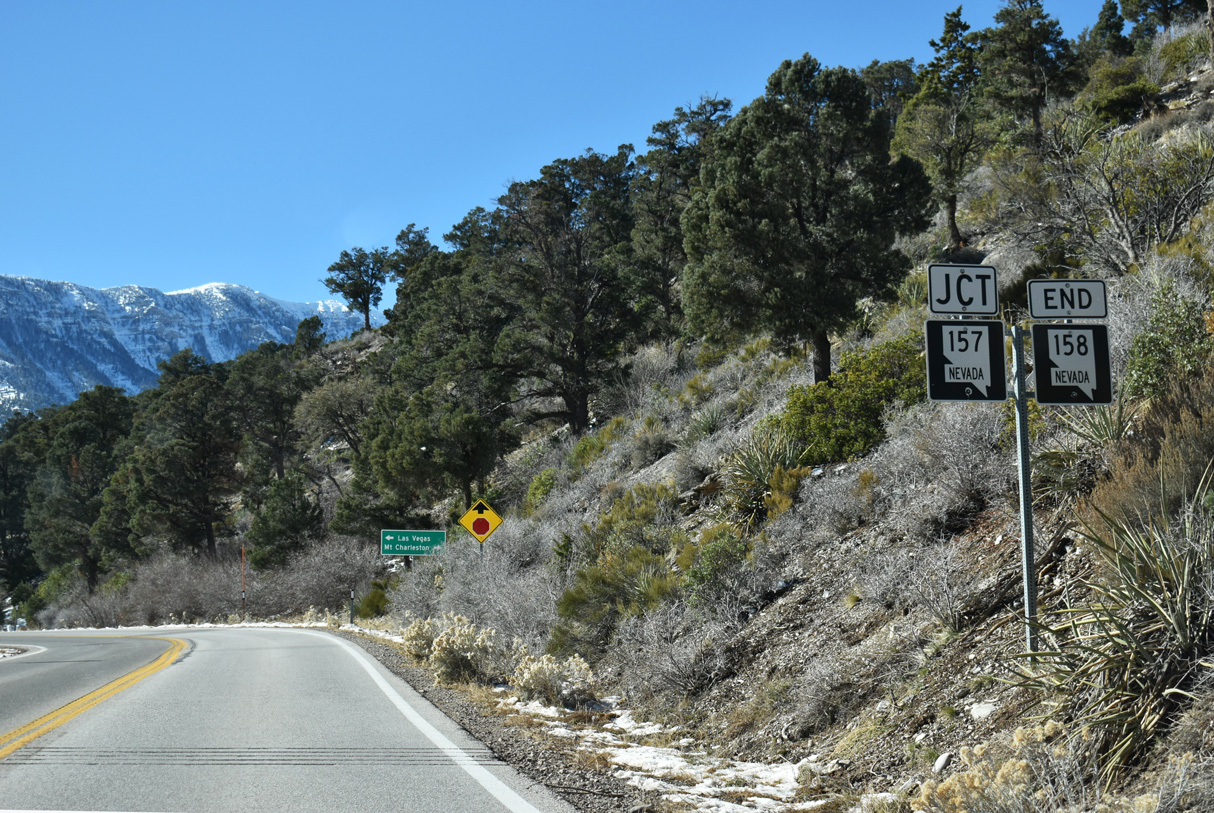
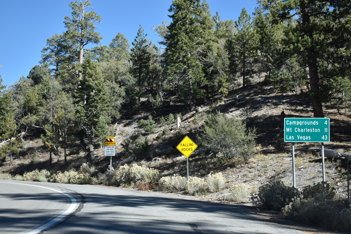
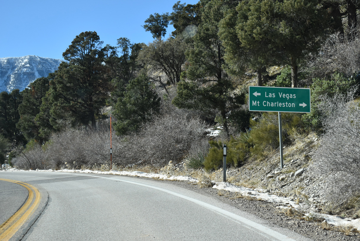
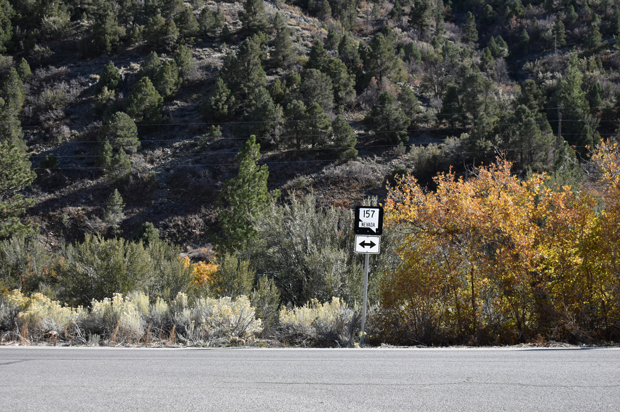
SR 157 (Kyle Canyon Road) joins SR 158 with Mount Charleston to the west and Las Vegas to the east via I-11/U.S. 95.
11/24/25
11/24/25
Mount Charleston is an unincorporated town located near the base of Charleston Peak (11,916 feet), the tallest mountain within Clark County.
11/24/25
11/24/25
SR 157 travels Kyle Canyon Road northeast 17.5 miles to an interchange with I-11/U.S. 95 at the northernmost urban limits of Las Vegas.
10/23/25
10/23/25
Photo Credits:
- ABRoads: 10/23/25
- Brent Ivy: 11/24/25
Page Updated Sunday December 14, 2025.