
State Route 207 West

Leading away from SR 756 (Centerville Road) near Gardnerville, Waterloo Lane advances west toward SR 88 in the Carson Valley.
09/05/09
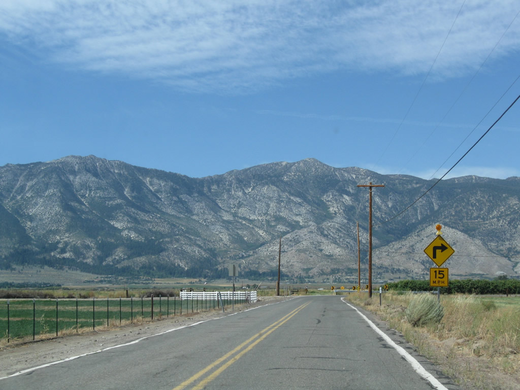
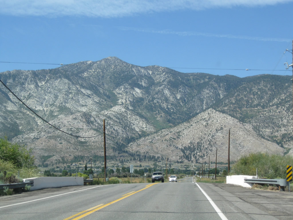
Despite two 90 degree turns, the narrow, two-lane Waterloo Lane is part of the fastest route from U.S. 395 to SR 207 over Kingsbury Grade.
09/05/09

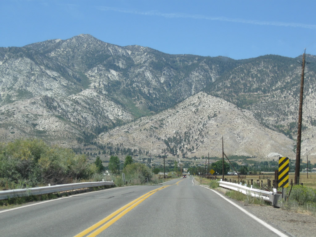
Waterloo Lane turns west again after Henningson Slough.
09/05/09
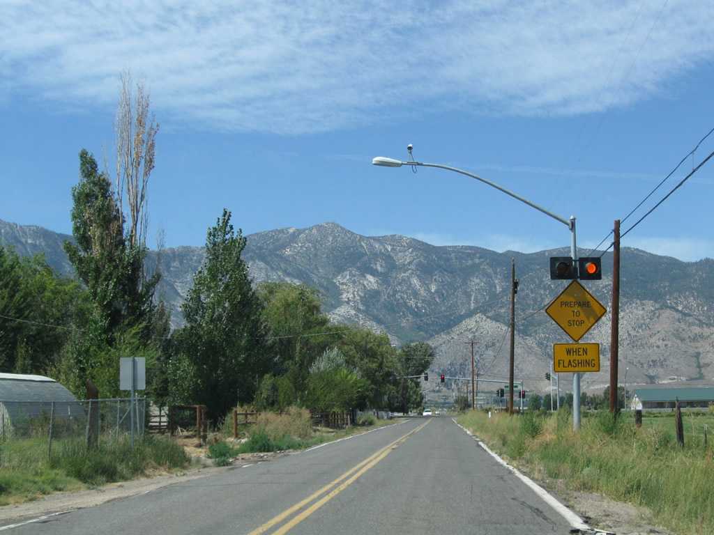
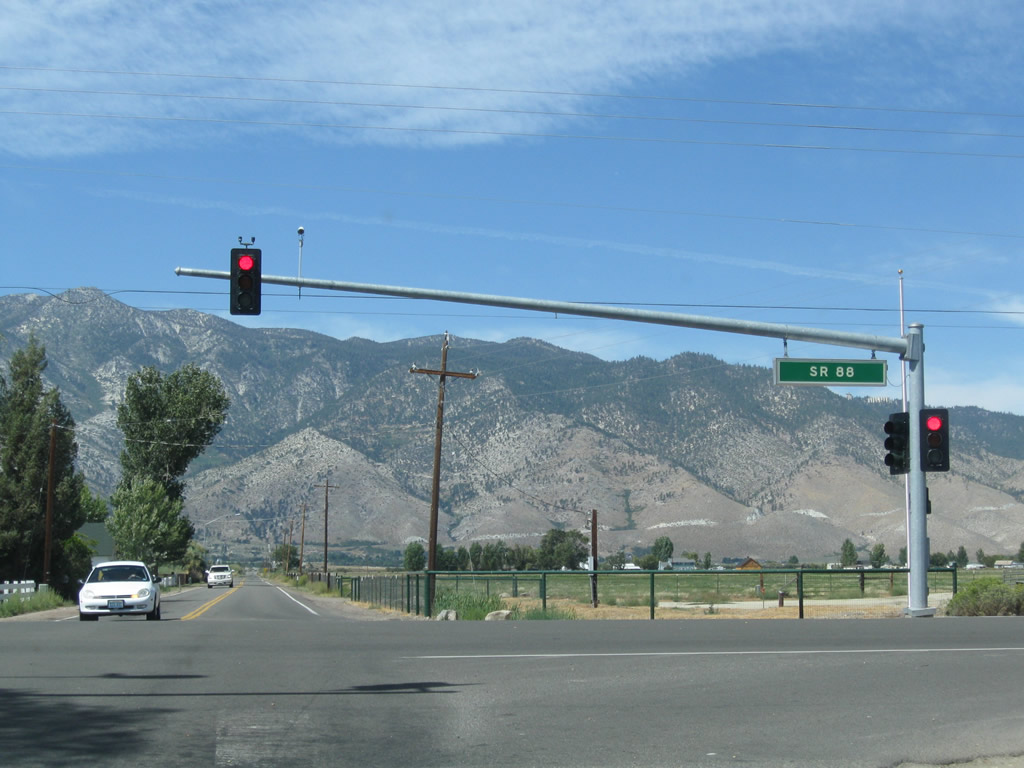
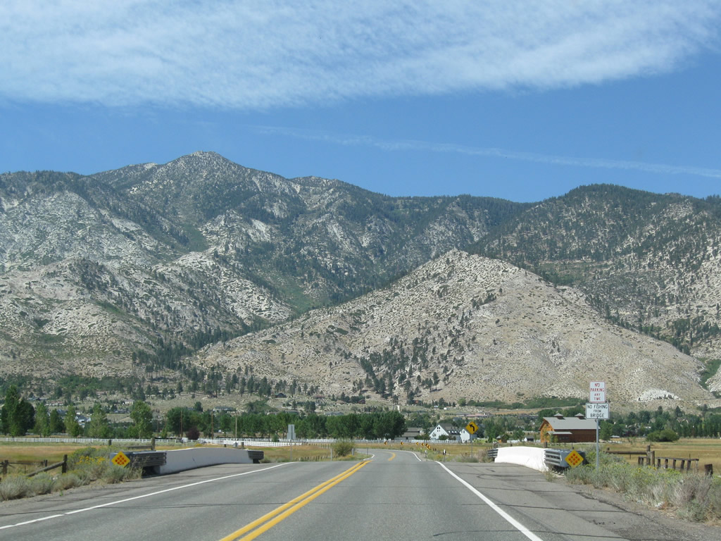
Like many highways that cross the Carson Valley, Waterloo Lane serves local ranches and farms. A signalized intersection joins Waterloo Lane west with SR 88 across from Mottsville Lane.
09/05/09
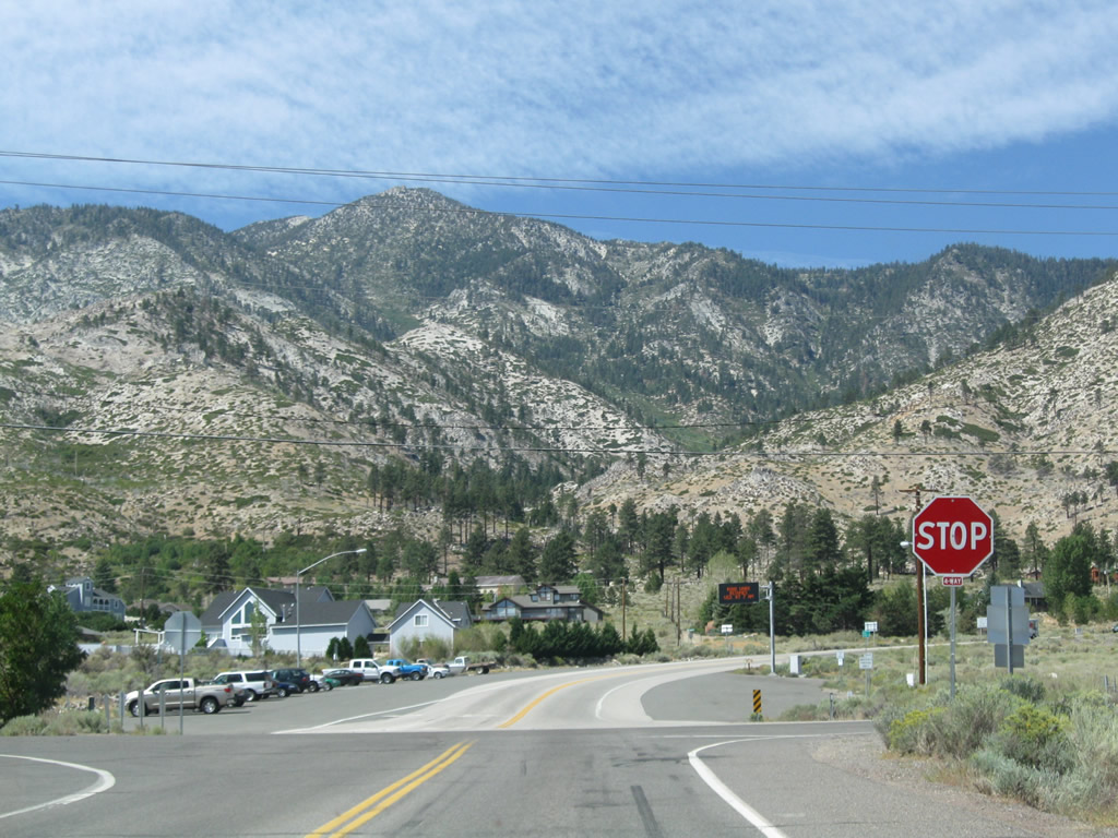
Mottsville Lane, formerly part of SR 207, runs west from Waterloo Lane and SR 88 to the unincorporated community of Mottsville.
09/05/09

Mottsville Lane crosses areas of ranchland and agricultural areas west from SR 88 (Woodfords Road).
09/05/09
Mottsville Lane crossing the West Fork of the Carson River.
09/05/09
Advancing west toward Mottsville and the Carson Range, Mottsville Lane crosses Brockliss Slough.
09/05/09
Beyond Johnson Slough, Mottsville Lane shifts southward into the unincorporated community of Mottsville.
09/05/09
Mottsville Lane ties into the intersection joining the east end of SR 207 (Kingsbury Grade) and SR 206 (Foothill Road).
09/05/09
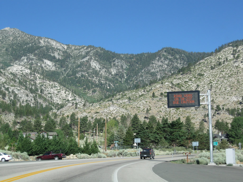
Upon leaving the intersection with Nevada 206 (Foothill Road), westbound Nevada 207 (Kingsbury Grade) passes under a variable message sign to warn of any traffic, weather conditions, or construction activities that might cause delays over Daggett Pass.
07/21/09
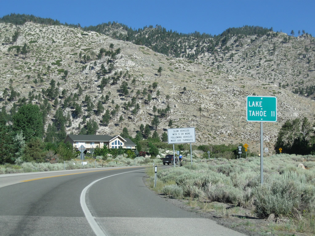
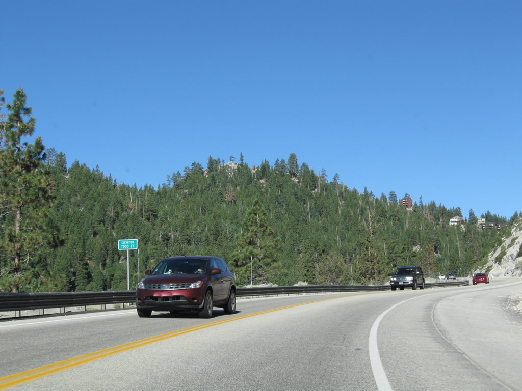
The main purpose of SR 207 (Kingsbury Grade) is to connect the Carson Valley with Lake Tahoe via Daggett Pass. SR 207 travels 11.07 miles west from SR 206 to U.S. 50 at the South Lake Tahoe-Stateline area.
07/21/09
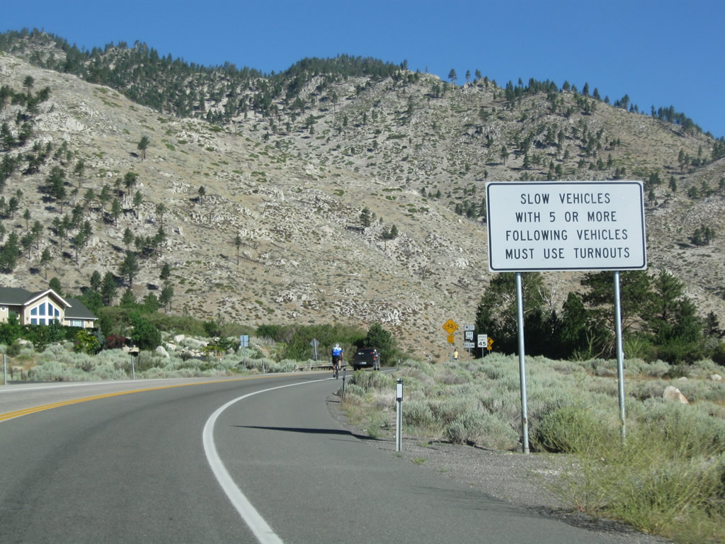
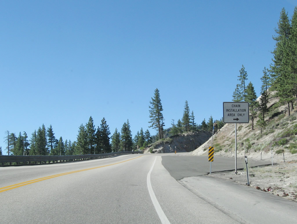
Slower vehicles on Nevada 207 (Kingsbury Grade) must use turnouts when followed by five or more vehicles.
07/21/09
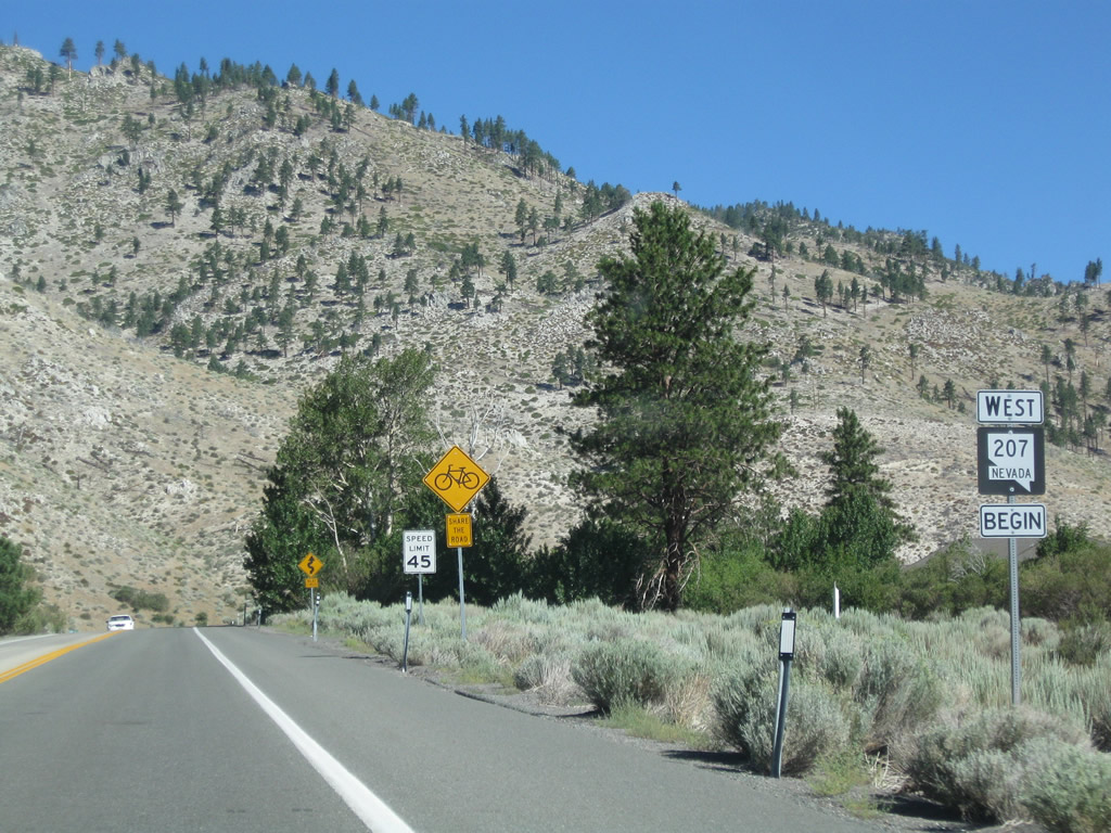
A begin west Nevada 207 shield precedes the northward turn on Kingsbury Grade to Taylor Canyon.
07/22/09
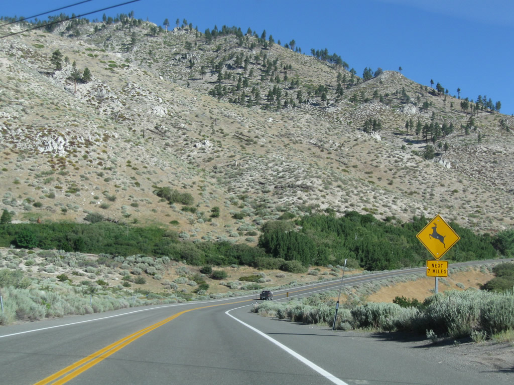
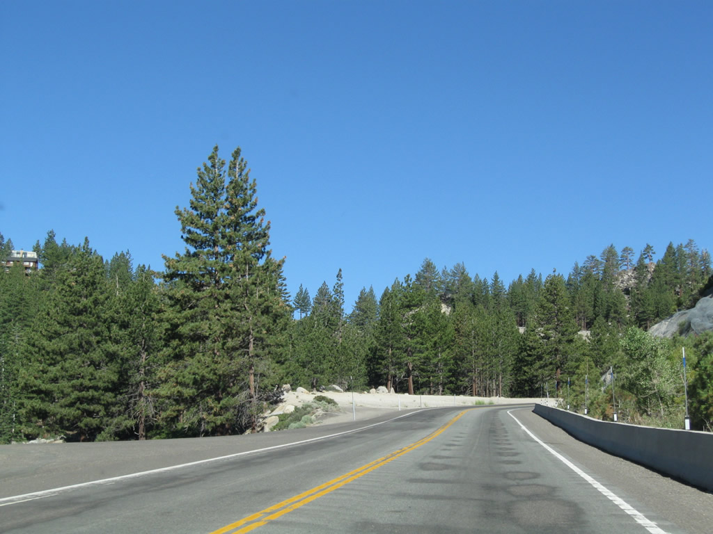
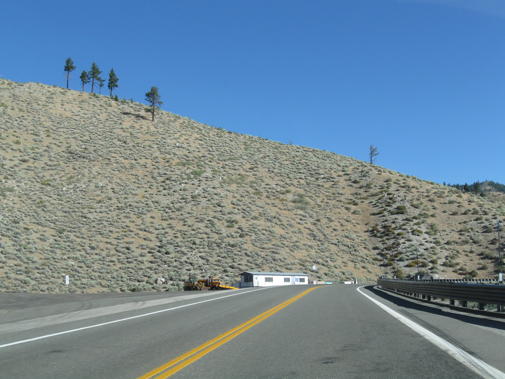
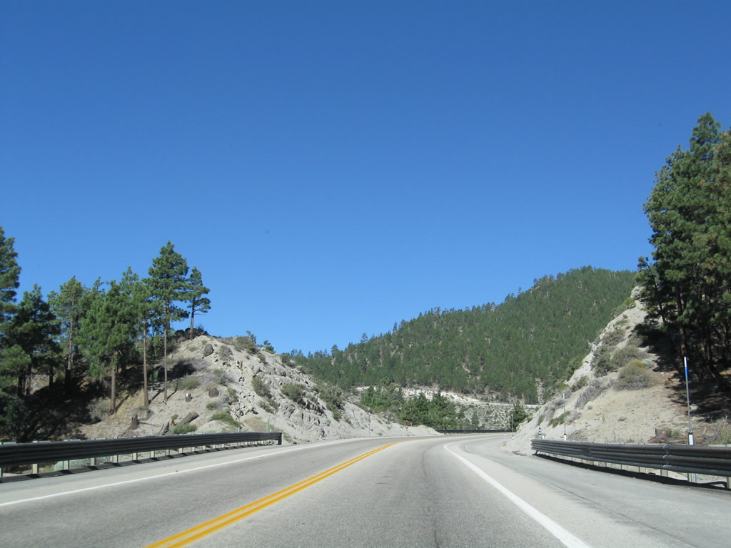
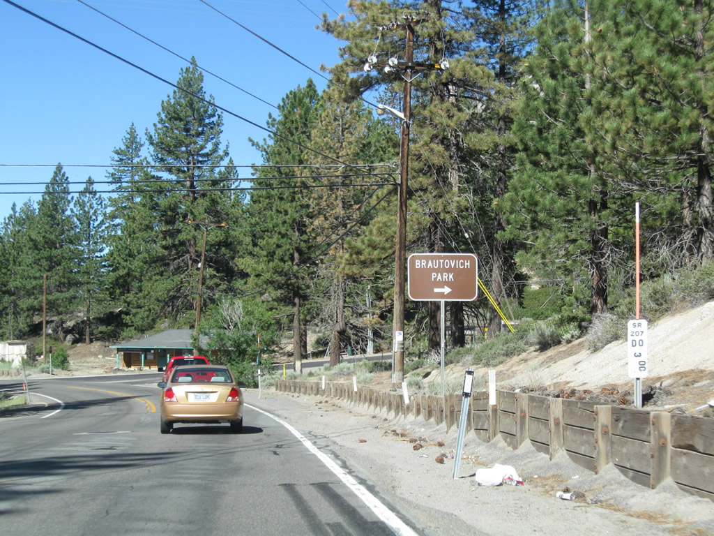
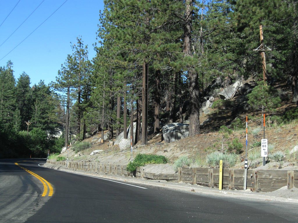
Nevada 207 (Kingsbury Grade) soon enters the Humboldt-Toiyabe National Forest, and deer and other animals may be found along the roadway, especially at dawn and dusk.
07/21/09
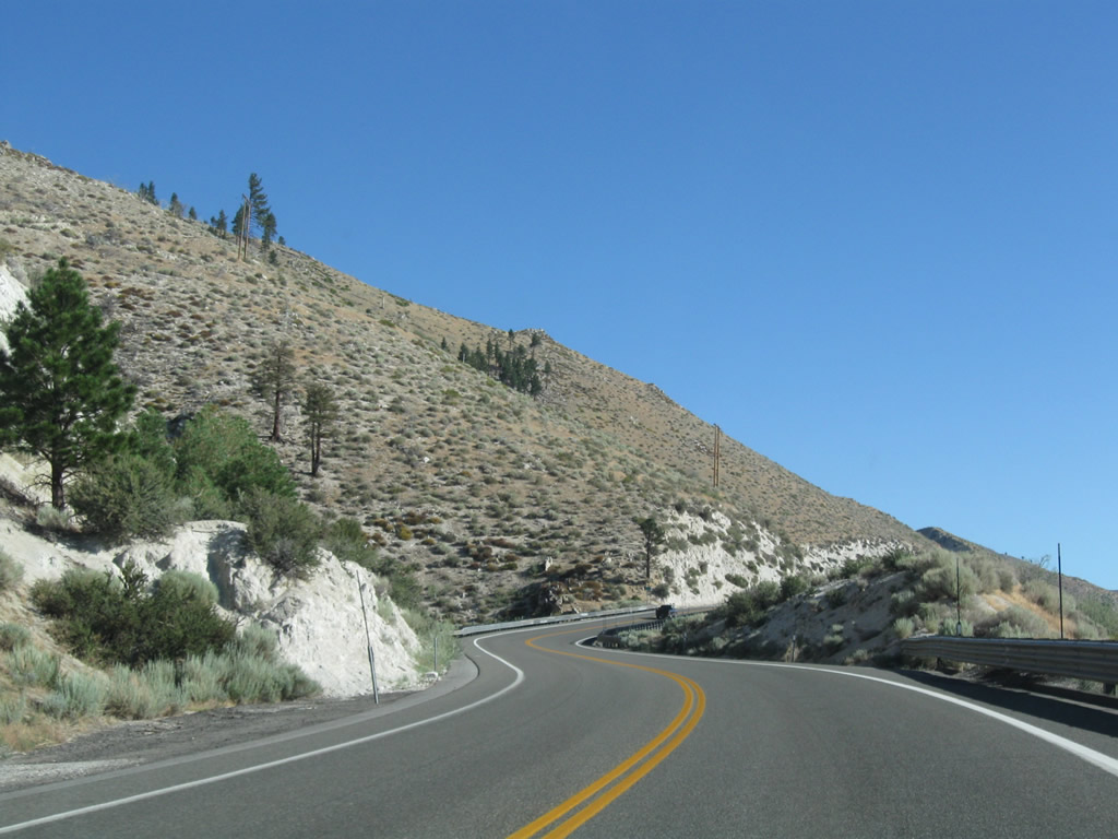
Kingsbury Grade ascends northward across Taylor Canyon.
07/21/09
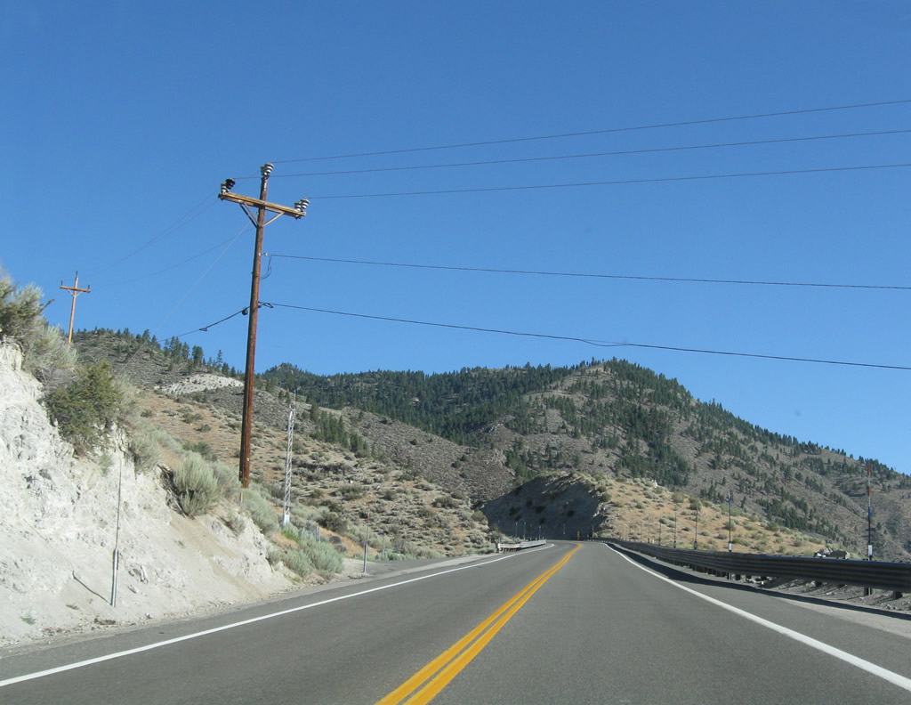
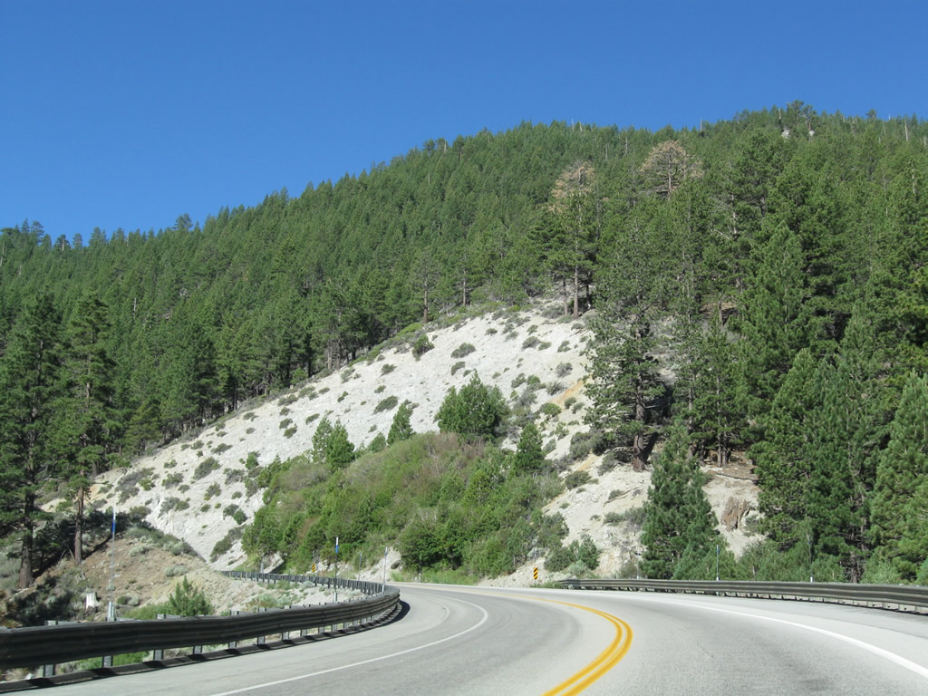
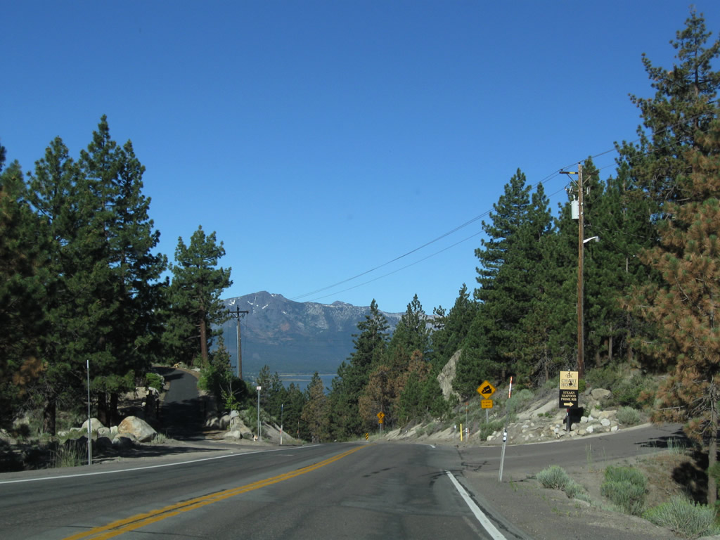
Overlooking Carson Valley to the east, SR 207 climbs to 5,500 feet above sea level before curving west to Haines Canyon.
07/21/09
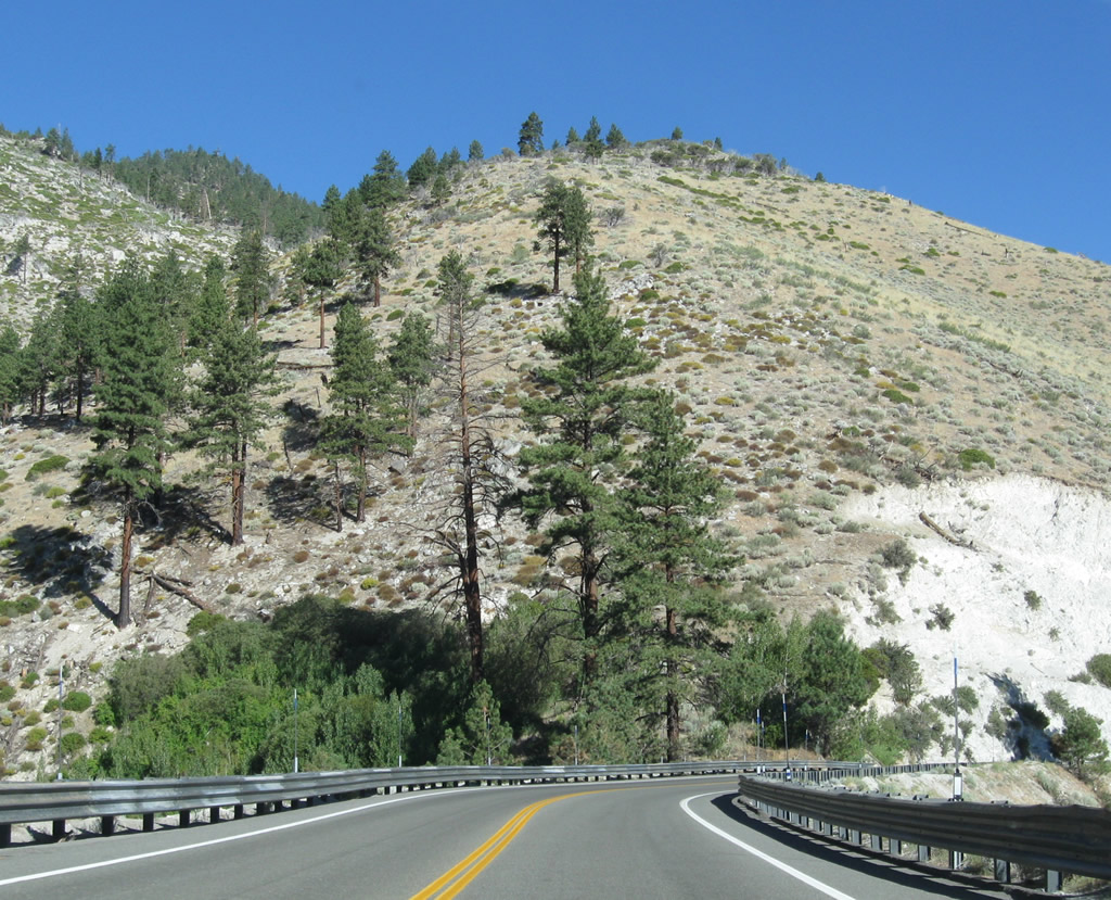
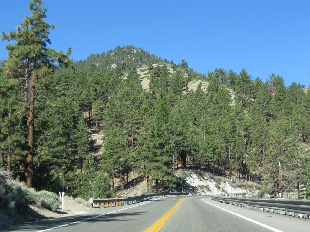
Kingsbury Grade curves northward, traversing Haines Canyon and rising to 6,000 feet in elevation.
07/21/09

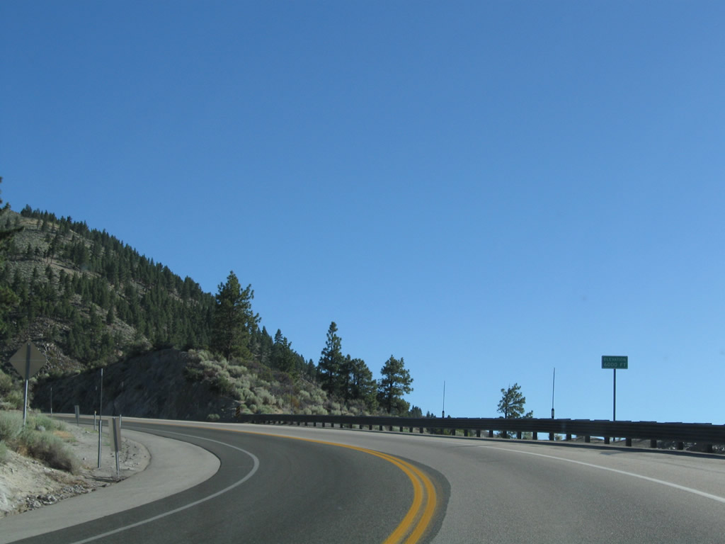
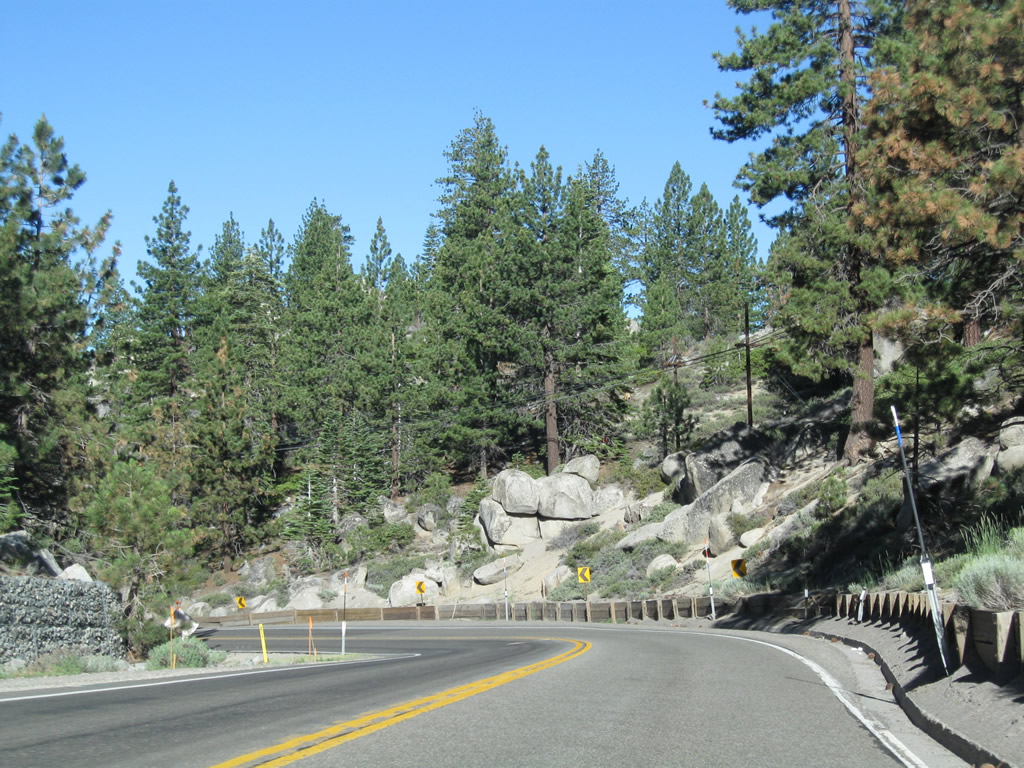
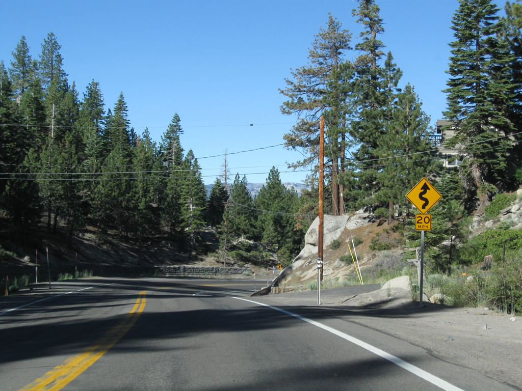
SR 207 navigates through two 180 degree curves northward around Pine Basin.
07/21/09
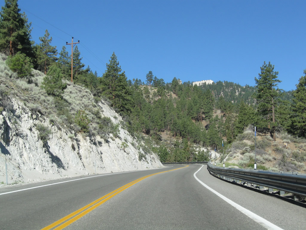
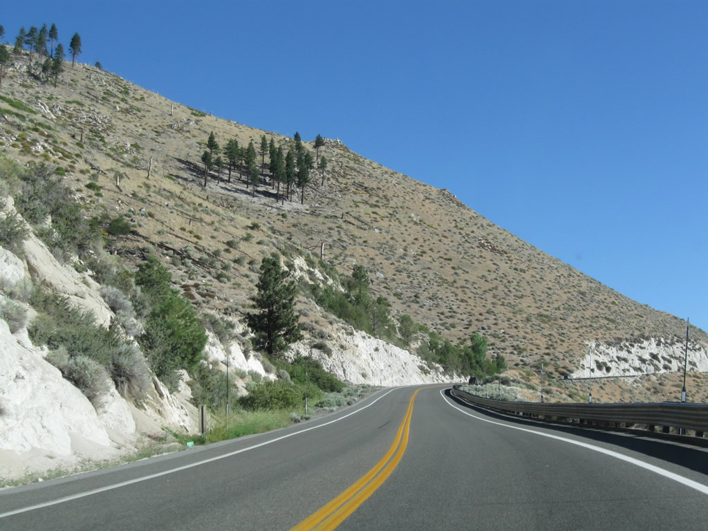
SR 207 (Kingsbury Grade) travels above Haines Canyon west toward Kingsbury at Daggett Pass.
07/21/09
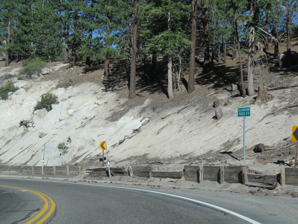
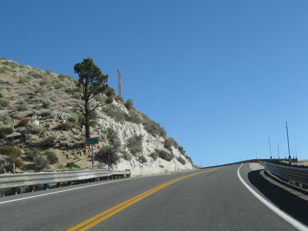
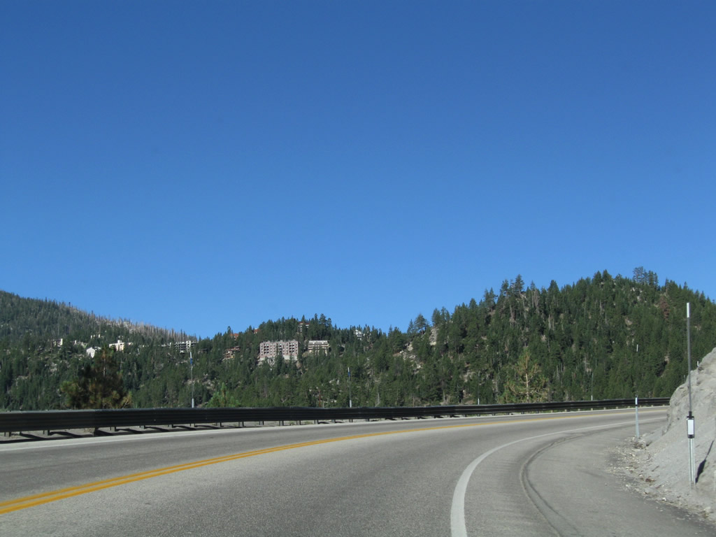
Ascending past 7,000 feet above sea level, Nevada 207 (Kingsbury Grade) advances to Heavenly North and Tahoe Ridge. A turnoff to the resort development lies ahead.
07/21/09
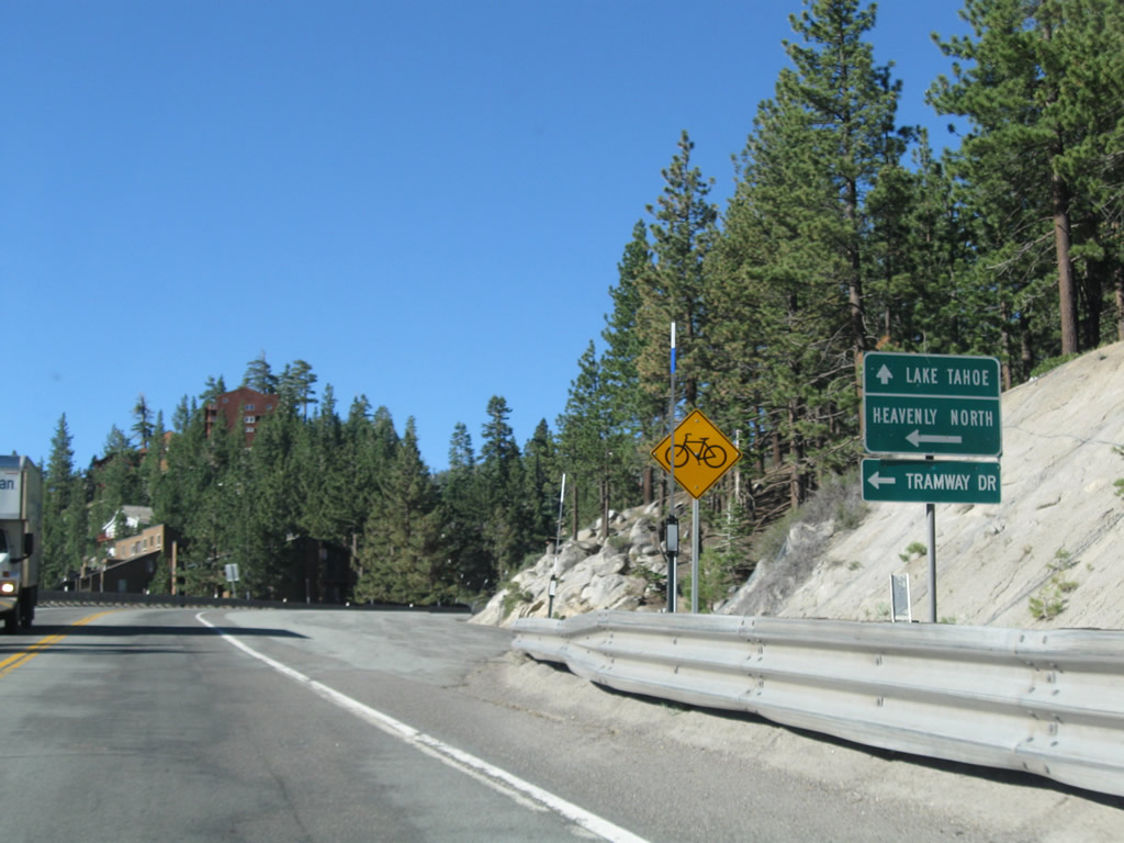
The next left from Nevada 207 (Kingsbury Grade) connects to Tramway Drive to Heavenly North and Tahoe Ridge.
07/21/09
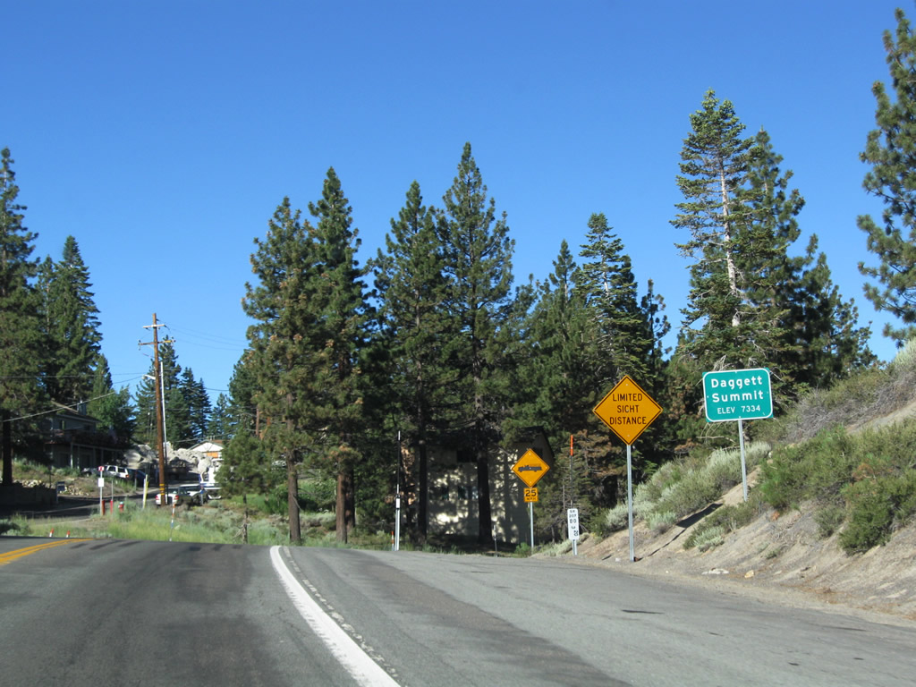
Nevada 207 (Kingsbury Grade) meets Tramway Drive at the top of Daggett Pass (elevation 7,334 feet above sea level).
07/21/09
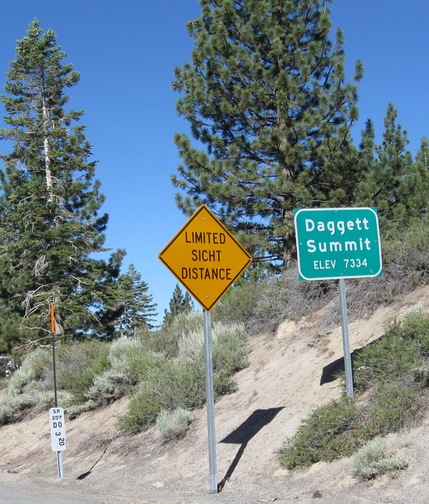
Milepost 3.20 for SR 207 is posted at Kingsbury Grade and Tramway Drive.
07/21/09

Nevada 207 (Kingsbury Grade) lowers from Daggett Pass, Tahoe Ridge, and Heavenly North toward Lake Tahoe.
07/21/09
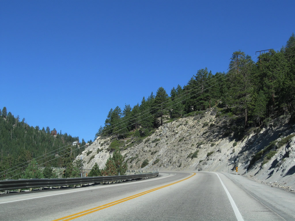
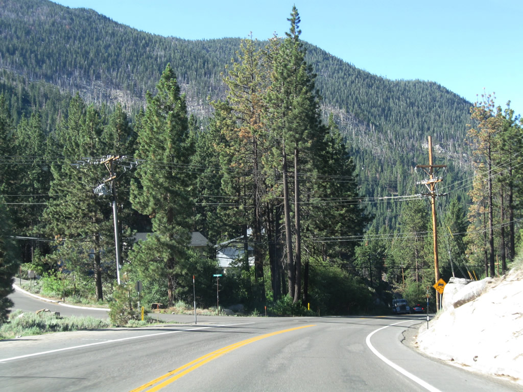
Descending through the unincorporated community of Kingsbury, development increases along both sides of SR 207 (Kingsbury Grade). Lake Tahoe briefly comes into view, but generally it is not clearly visible from SR 207.
07/21/09
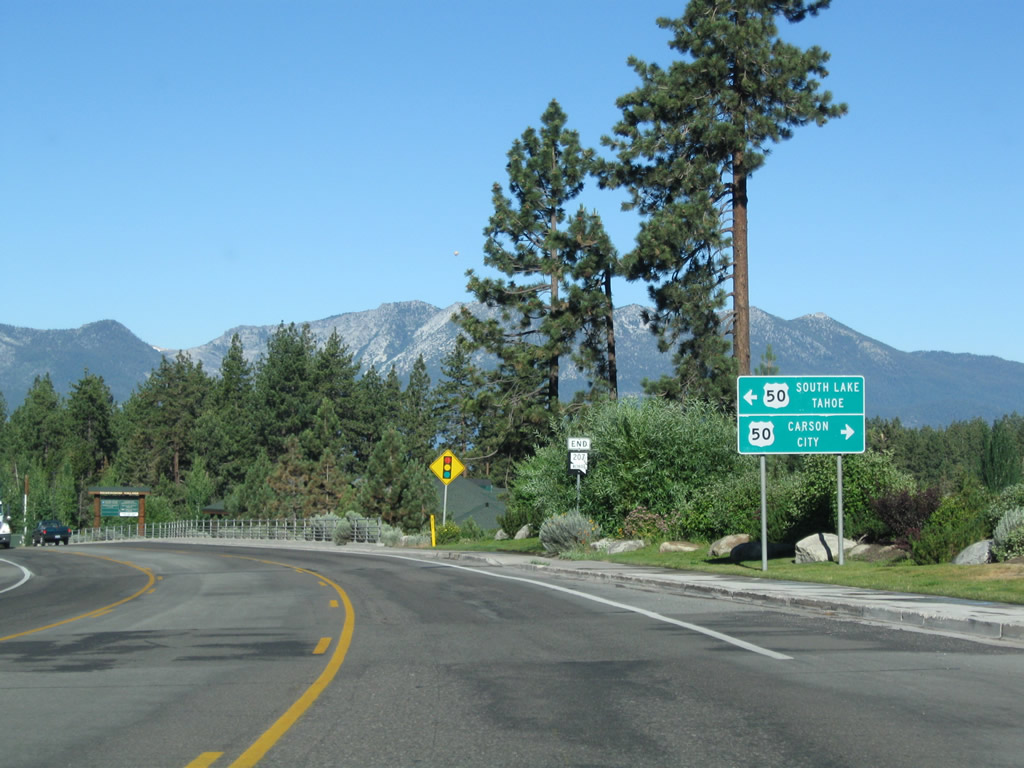
Westbound Nevada 207 converges with U.S. 50 at the bottom of the Kingsbury Grade. U.S. 50 west continues to Stateline, South Lake Tahoe, and SR 89 north to Emerald Bay.
07/21/09
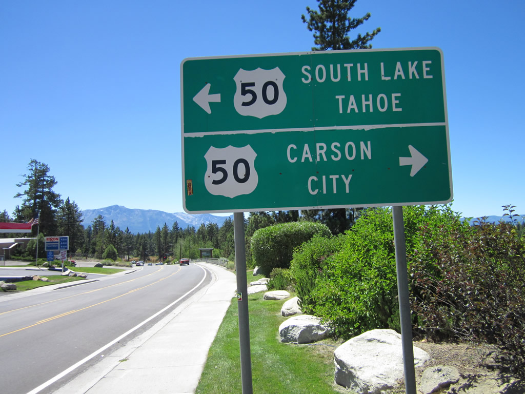
Northeast from SR 207, U.S. 50 follows the shore of Lake Tahoe to Zephyr Cove, Cave Rock, Lake Tahoe Nevada State Park, Spooner Junction, and SR 28 north to Incline Village.
07/31/12
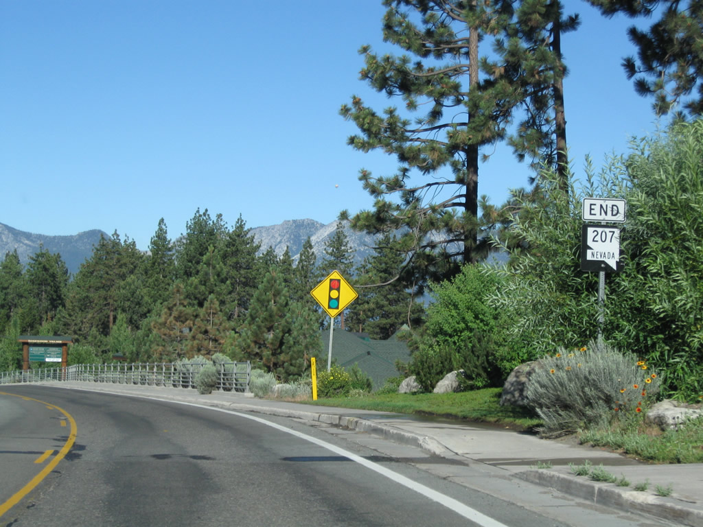
An end SR 207 shield assembly was posted prior to the traffic signal intersection with U.S. 50; it was replaced by a new assembly closer to the U.S. 50 intersection by 2012.
07/21/09
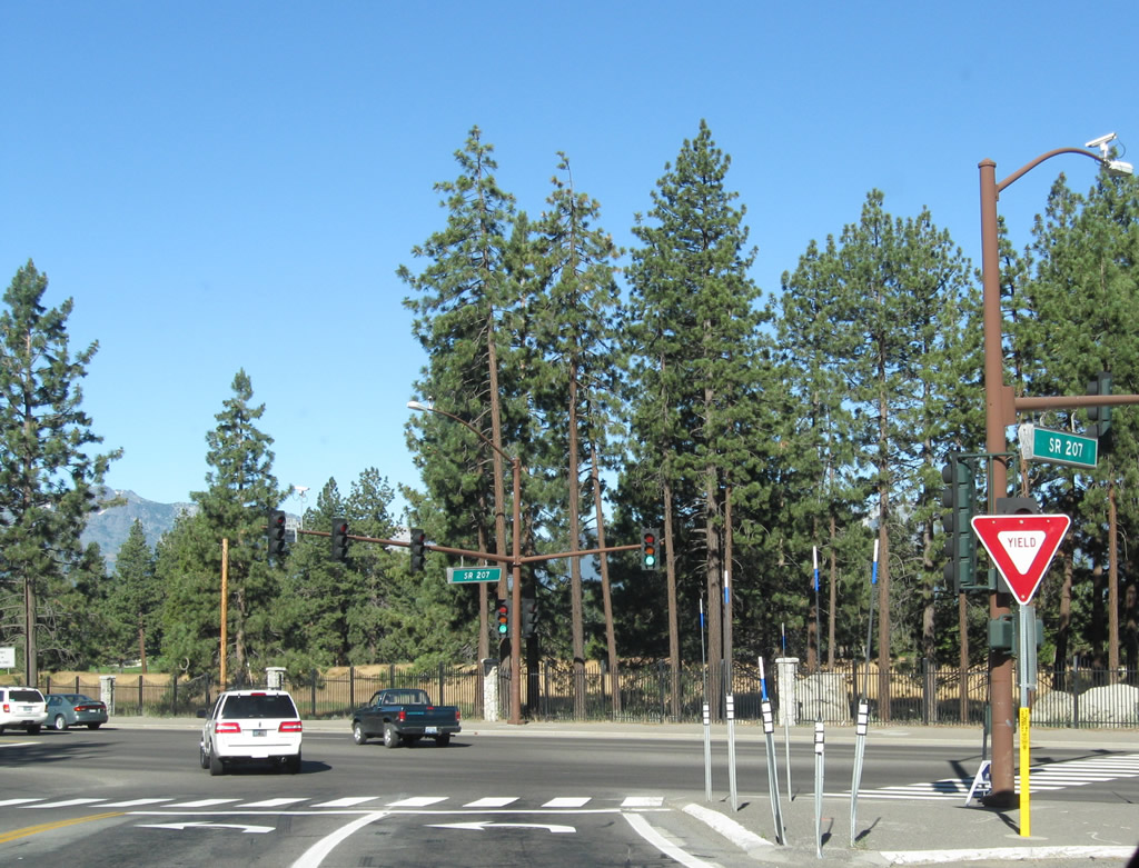
Westbound Nevada 207 meets U.S. 50 at this traffic signal.
07/21/09
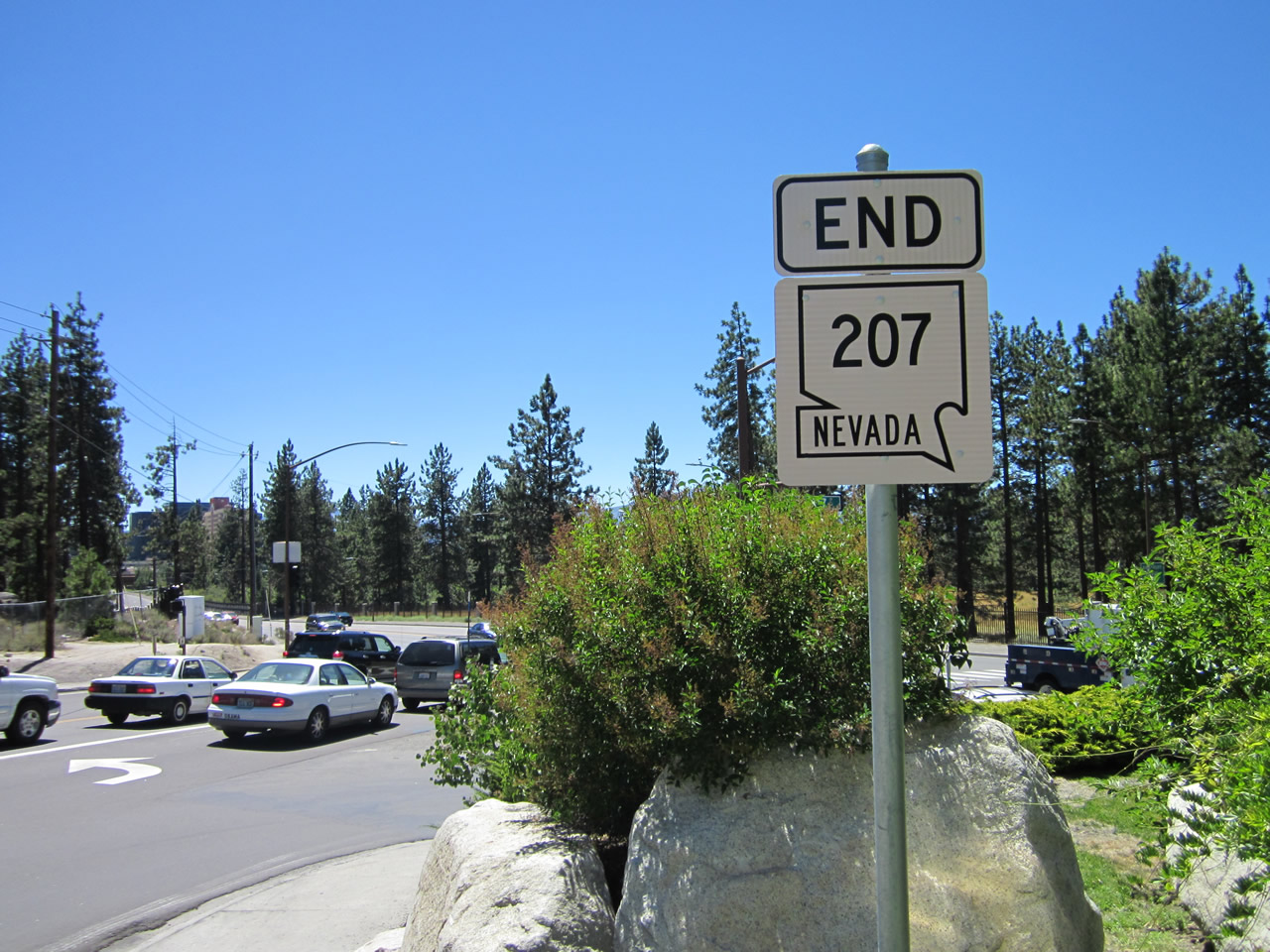
A new end Nevada 207 route marker was added by 2012 at a location closer to the U.S. 50 intersection.
07/31/12

The zero milepost for Nevada 207 is located at the U.S. 50 intersection.
07/31/12
Photo Credits:
- Andy Field: 07/21/09, 07/22/09, 09/05/09, 07/31/12
Connect with:
Page Updated Tuesday July 31, 2012.