
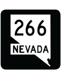
State Route 266
Nevada State Route 264 is a remote highway extending 40.1 miles from California State Route 264 in Fish Lake Valley to U.S. 95 in Lida Valley. Traversing sparsely populated desert areas, SR 264 winds east from the Golden State alongside Palmetto Wash to the site of Palmetto and Lida Summit. Crossing the Palmetto Mountains, SR 264 navigates through a valley separating Palmetto and Magruder Mountains to the ghost town of Lida.
A winding course takes SR 264 out of the Palmetto Mountains through Lida Canyon. The state route straightens out and bee lines east across the vast open desert of Lida Valley. Continuing through Lida Valley, SR 264 makes a gradual northeastern arc, circumventing Mount Jackson Ridge to U.S. 95 at Lida Junction.
 East
East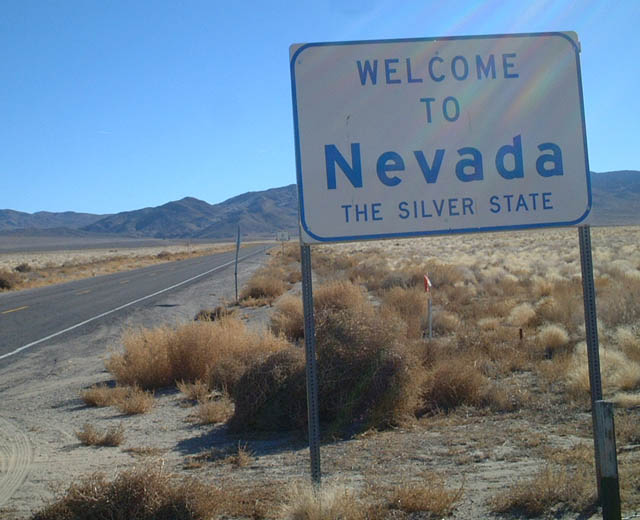
A previous welcome sign posted at the state line where California State Route 266 becomes Nevada State Route 266. SR 266 trends southward toward a hill line preceding the Palmetto Mountains.
01/19/02
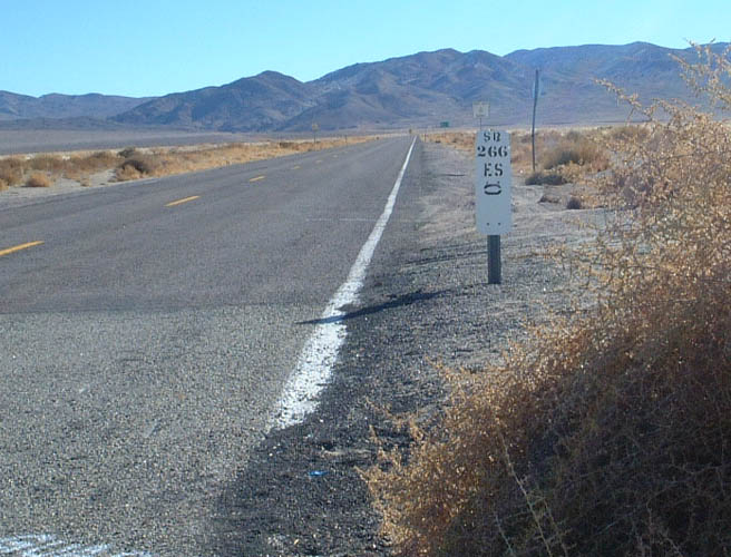
Postmile 0.00 for SR 266 at the California state line. Esmeralda County is one of the least populated counties in the Silver State. The lone connection along the 40 mile route to U.S. 95 is SR 774, a secondary route south to Gold Point.
01/19/02
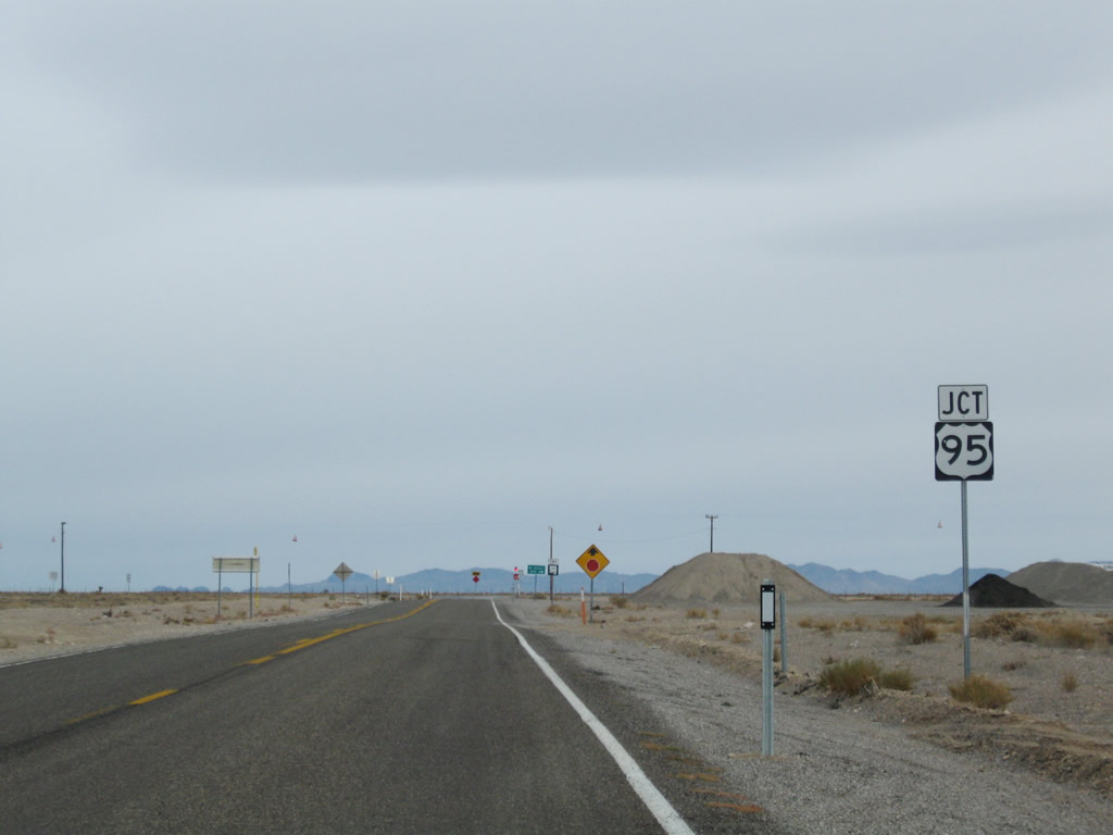
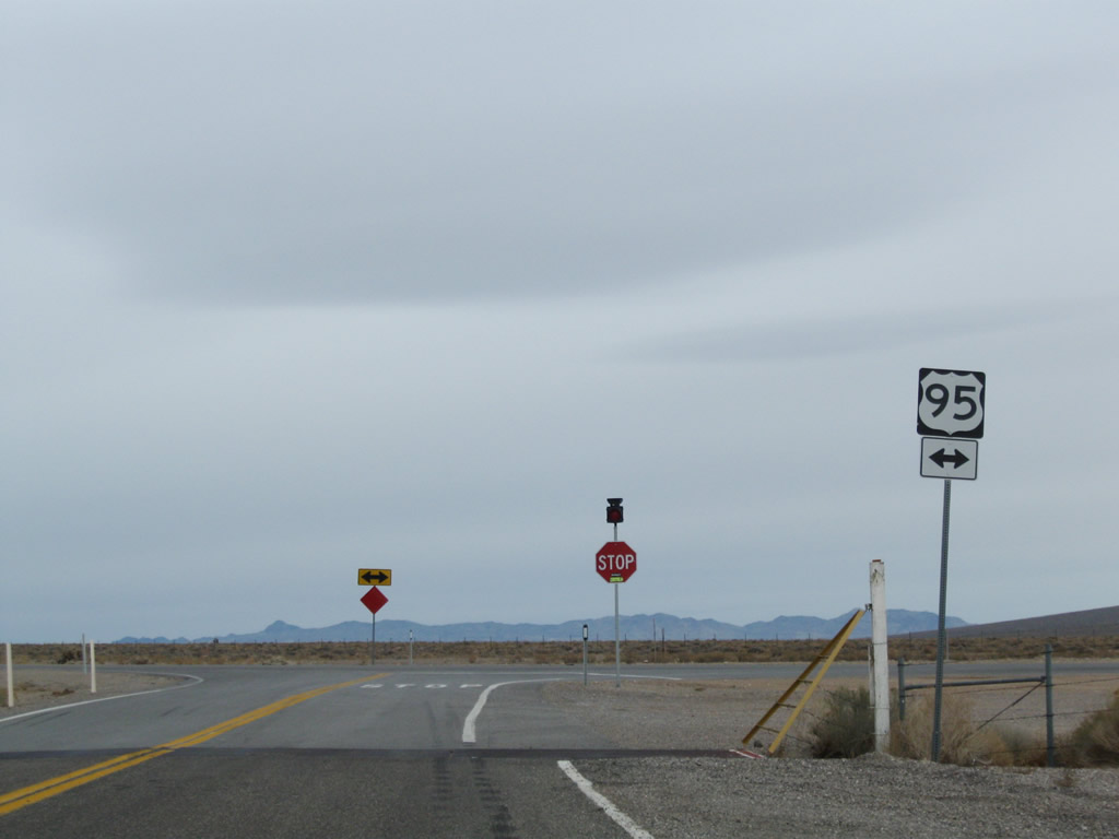
SR 266 advances 7.2 miles northeast from SR 774 through Lida Valley to U.S. 95 at Lida Junction.
11/11/08
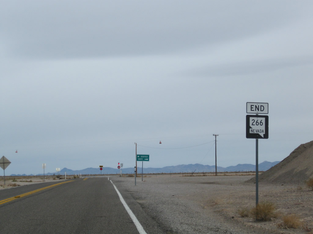
An end shield precedes U.S. 95 along SR 266 eastbound. This is common NDOT signing practice for marking the terminus of rural state routes.
11/11/08

U.S. 95 travels 14 miles north across the Goldfield Mountains to the Esmeralda County seat of Goldfield. The unincorporated town of Beatty lies 51 miles to the south via U.S. 95 in Nye County.
11/11/08
 West
West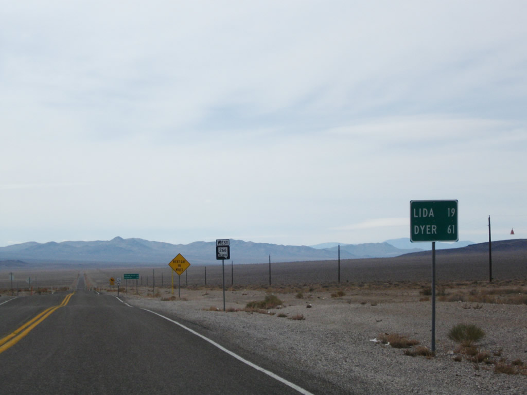
Leading away from U.S. 95 at Lida Junction, SR 266 commences a 19 mile drive to the ghost town of Lida. Dyer lies 61 miles to the northwest, via California State Route 266 and SR 264 through Fish Lake Valley.
11/11/08
The first confirming marker for SR 266 west stands in Lida Junction.
11/11/08
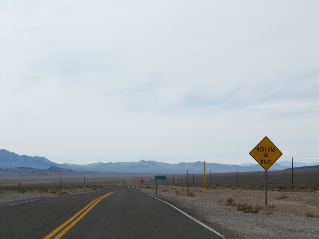
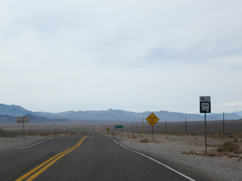
The next gas station accessible west from Lida Junction via SR 266 is located in Dyer.
11/11/08
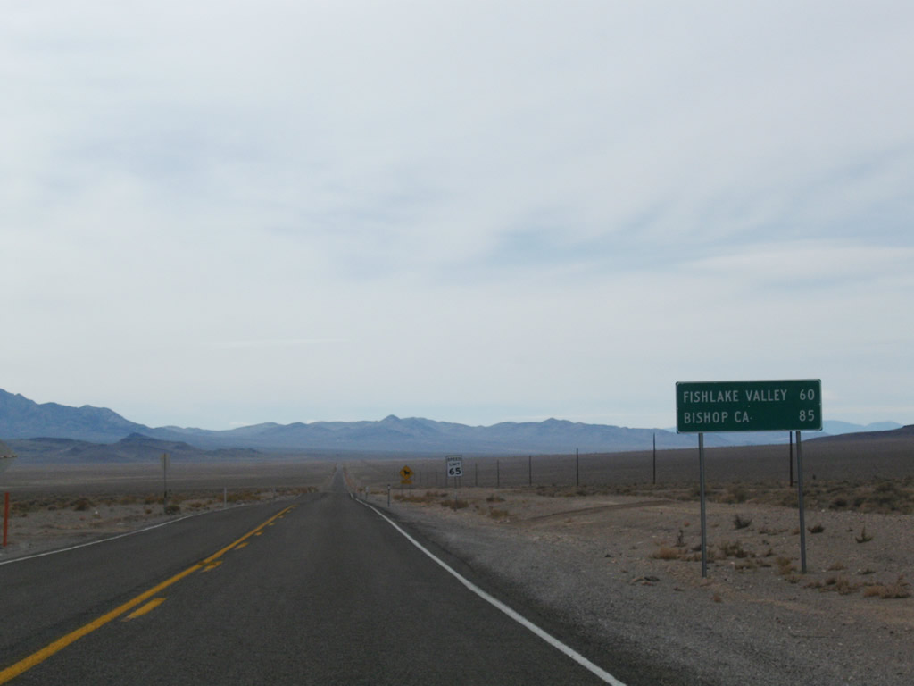
A second distance sign along SR 266 west at Lida Junction references Fishlake Valley and Bishop, California (via California State Route 168 southwest). Fish Lake Valley is the broad area of desert sandwiched between the Palmetto and White Mountains.
11/11/08
Photo Credits:
- Andy Field: 01/19/02
- AARoads: 11/11/08
Connect with:
Page Updated Tuesday June 26, 2018.