
State Route 338 - Sweetwater Road
Travelng wholly within Toiyabe National Forest, Nevada State Route 338 connects SR 182 in California with SR 208 near Smith. The 30.87 mile course winds northward from the state line around Bald Mountain, and along Sweetwater Flat to Sweetwater Summit. The state route continues through Dalzell Canyon to the site of Sulfur before lowering into agricultural areas of Smith Valley.
 South
South
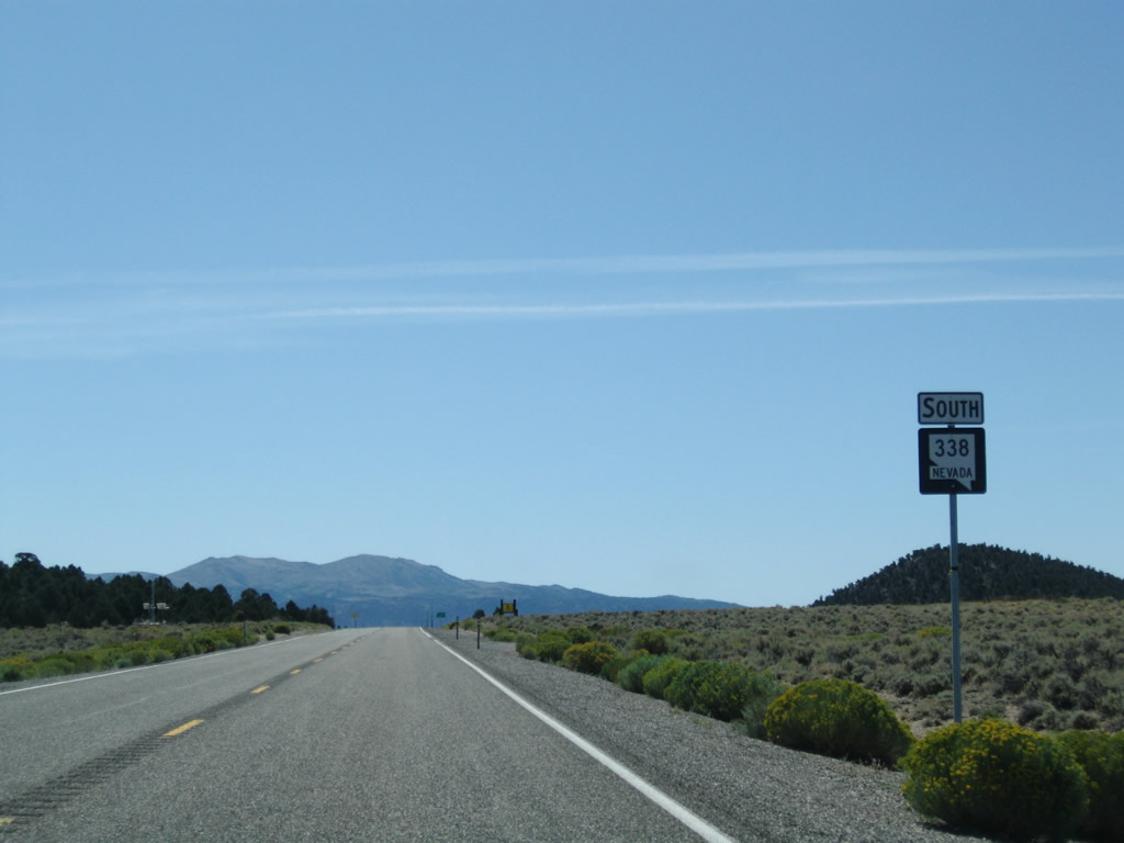
SR 338 converges with SR 829 (Wellington Cutoff) ahead of this confirming marker in Smith Valley.
09/07/09
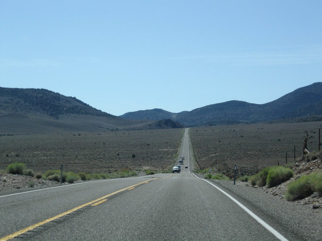
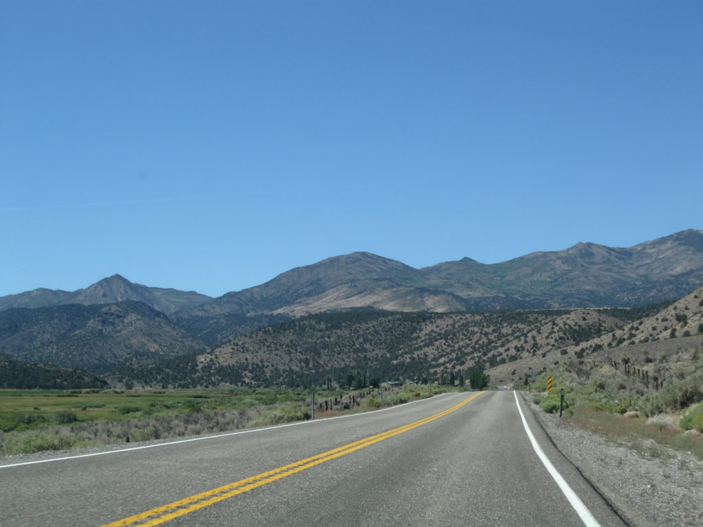
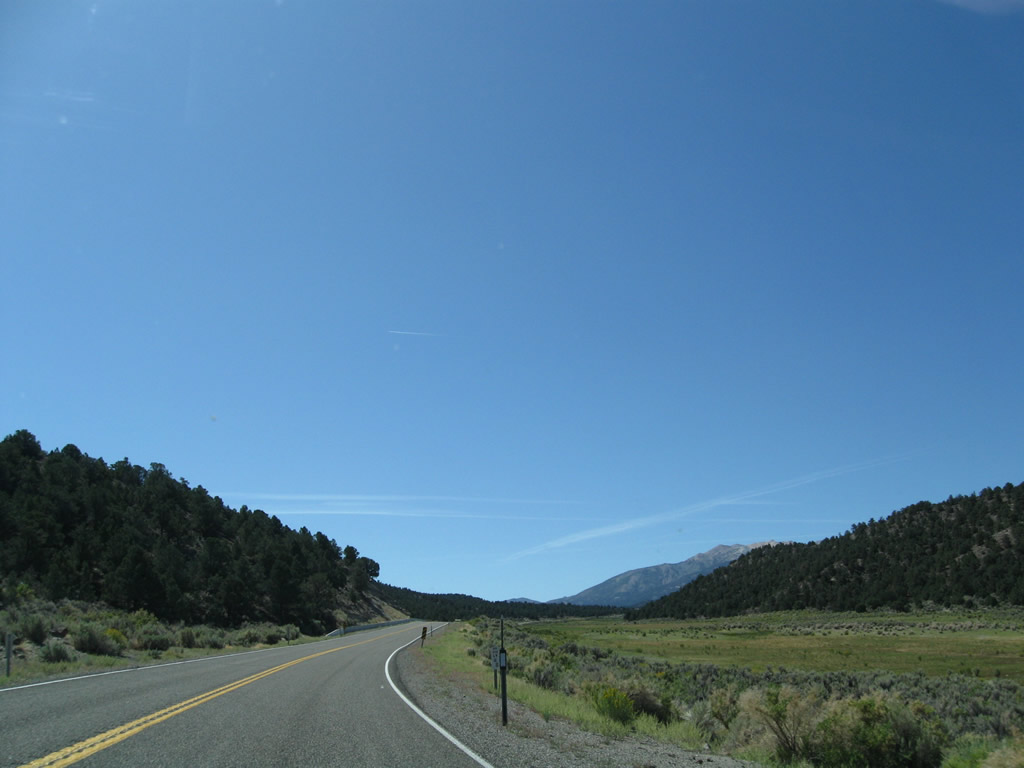
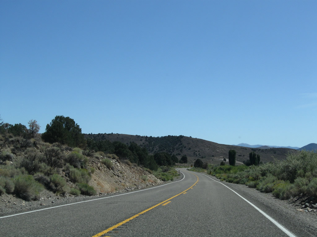
Gaining over 700 feet in elevation from SR 829, SR 338 rises into Dalzell Canyon from Smith Valley.
09/07/09
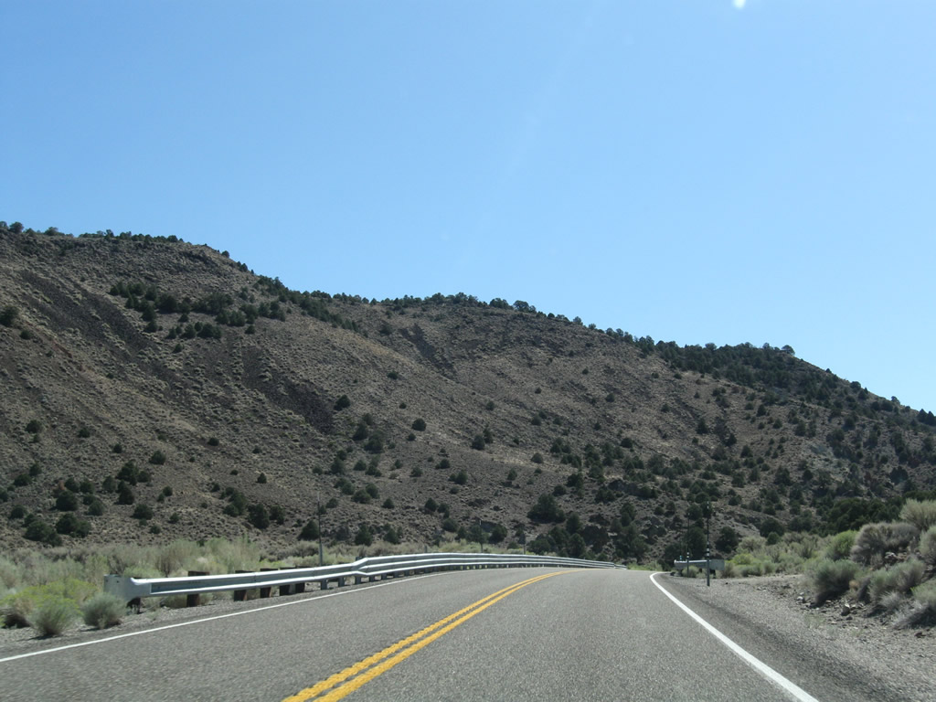
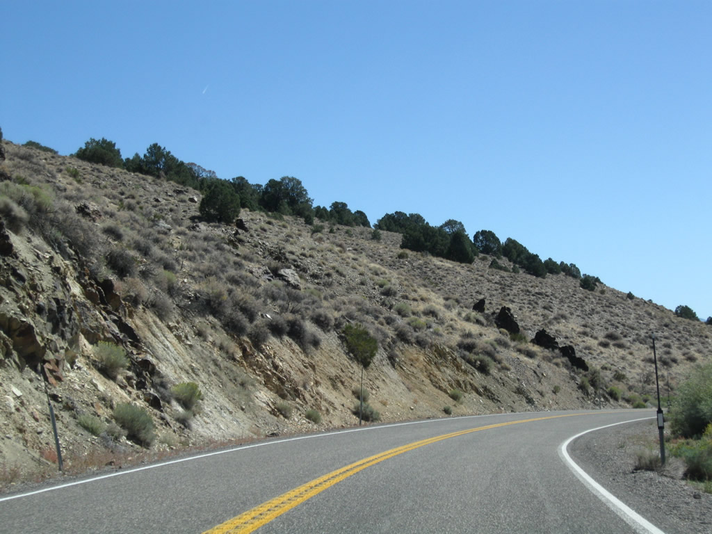
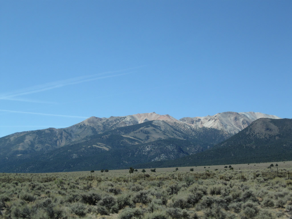
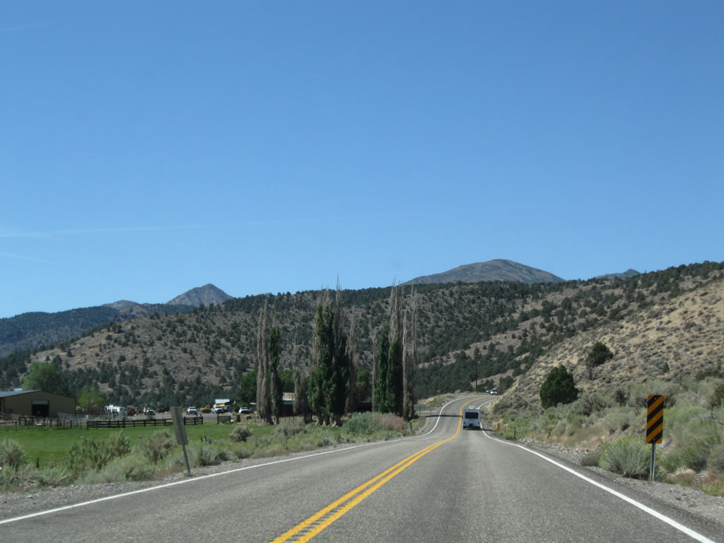
The scenic drive through Dalzell Canyon takes SR 338 south between the Desert Creek Mountains and Pine Grove Hills. Sweetwater Road climbs to over 6,500 feet above sea level at the south end of the canyon.
09/07/09
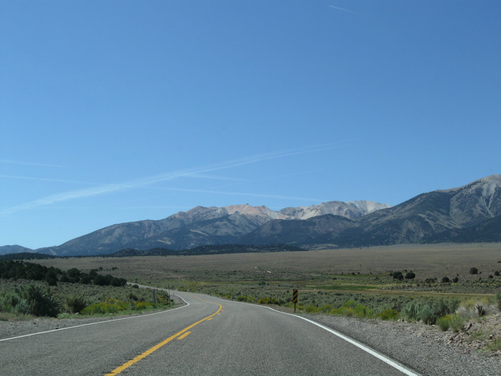
SR 338 crests at Sweetwater Summit (el. 6,812 ft) west of Bald Mountain.
09/07/09
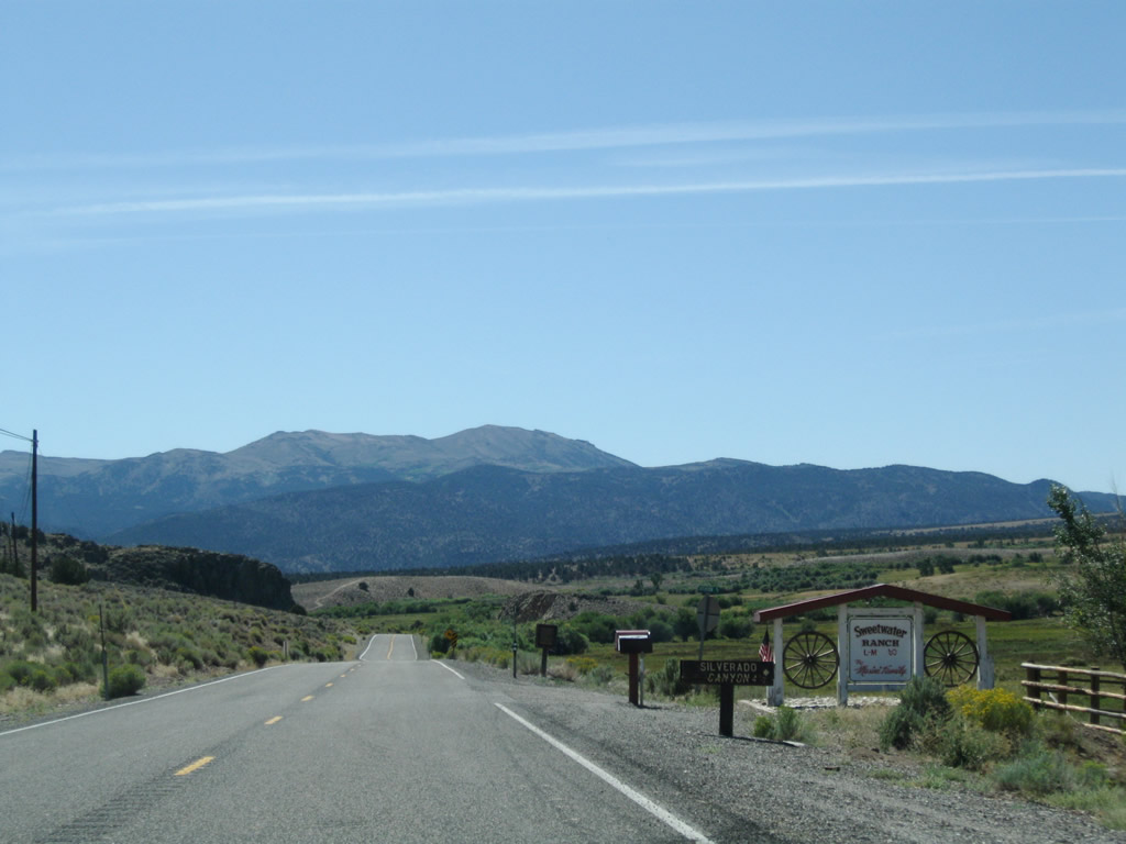
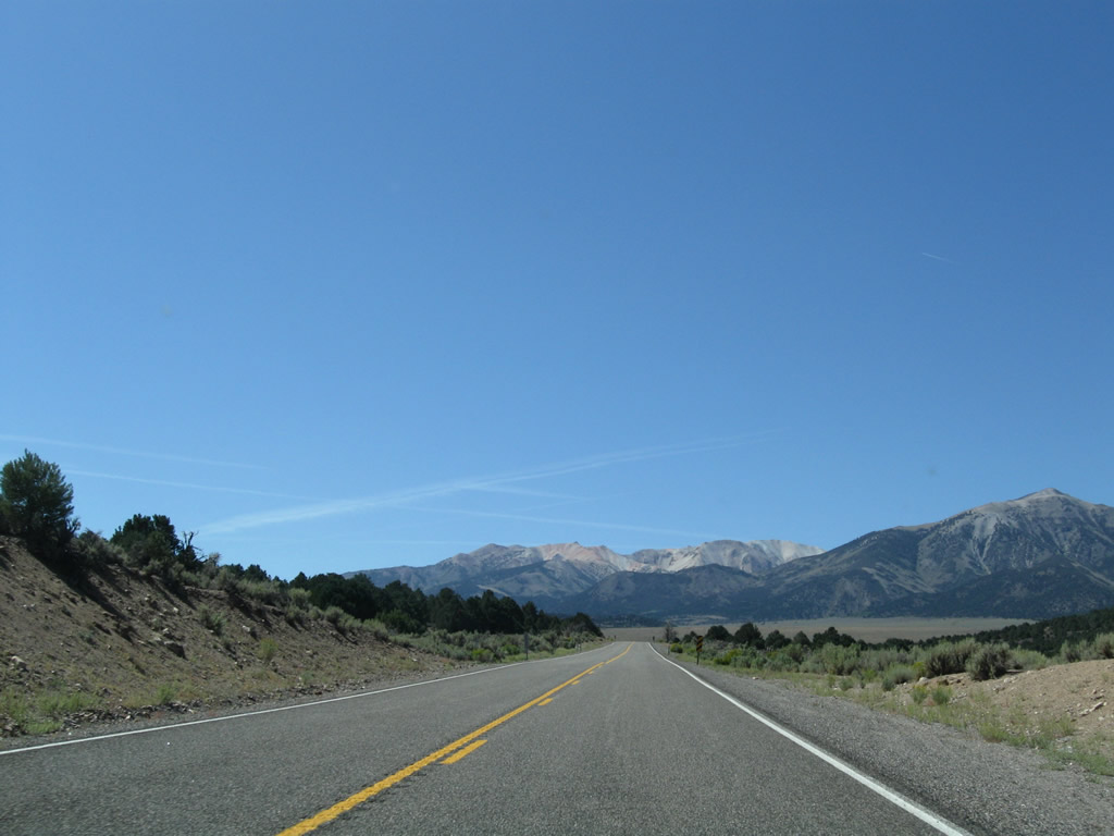
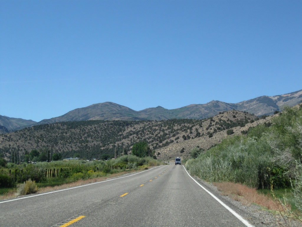
Descending from Sweetwater Summit, SR 338 proceeds through Sweetwater Ranch before reaching Sweetwater.
09/07/09
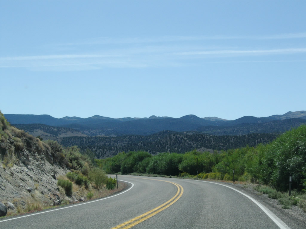
Paralleling Sweetwater Creek, SR 338 lowers 400 feet in elevation from Sweetwater Flat around the periphery of Bald Mountain.
09/07/09
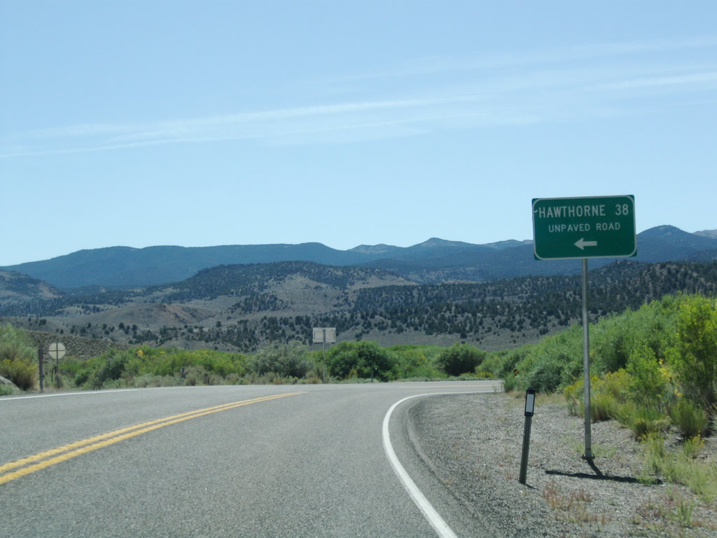
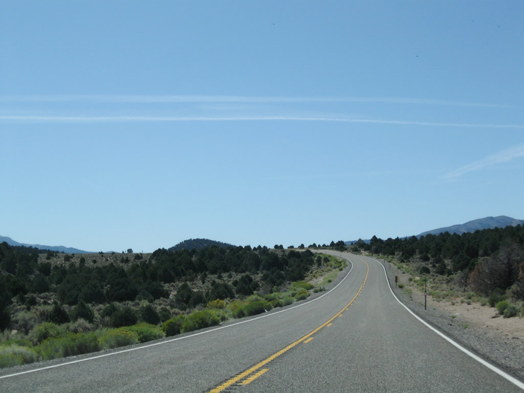
Entering Sweetwater, southbound SR 338 intersects National Forest Service Road 028, which travels east along a mostly unpaved highway via Lucky Boy Pass to meet SR 359 near Hawthorne.
09/07/09
Turning southwest, SR 338 runs along the East Walker River to the settlement of Sweetwater.
09/07/09
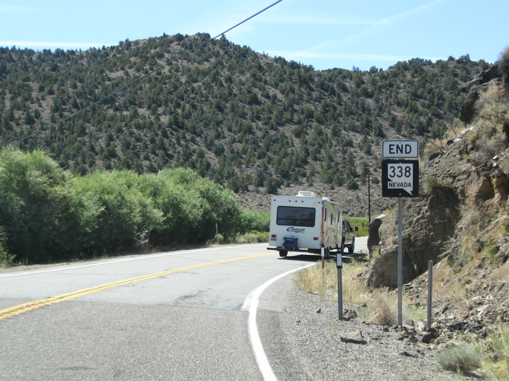
SR 338 transitions to California State Route 182 ahead of Water Canyon in the Sweetwater Mountains. SR 182 extends the road south to Bridgeport Reservoir and U.S. 395 at Bridgeport.
09/07/09
Photo Credits:
- Andy Field: 09/07/09
Connect with:
Page Updated Friday April 19, 2019.