
State Route 341
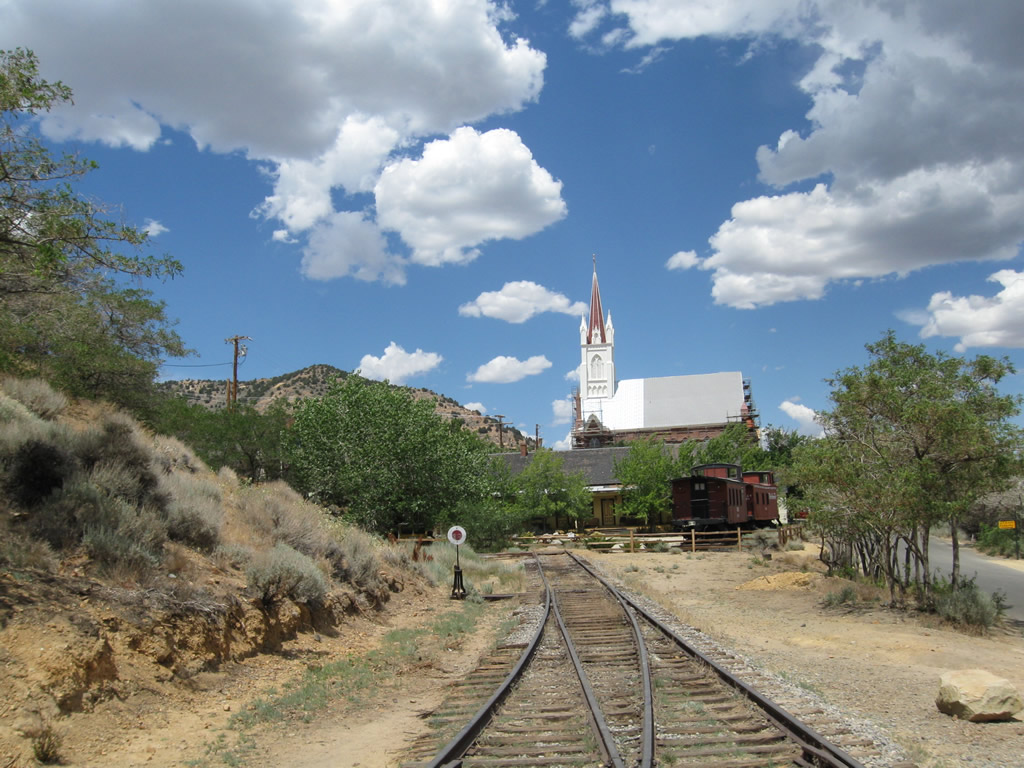
The Virginia & Truckee Railroad spurs into Virginia City, concluding near the heart of town. This view looks north toward the Catholic Church. - 07/23/2009
Nevada 341 connects U.S. 50 east of Carson City with Virginia City, then travels to U.S. 395 ALT and Nevada 431 at Mount Rose Junction. A section of old alignment via Silver City is designated as Nevada 342.
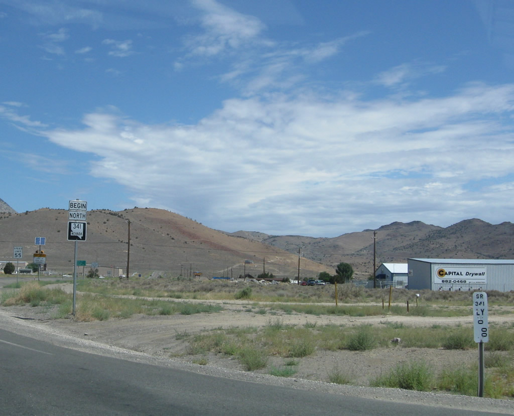
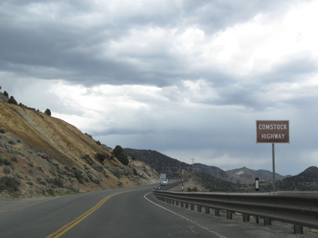
Nevada 341 (Comstock Highway) commences north toward Virginia City from the intersection with U.S. 50 midway between Carson City and Dayton. A zero milepost is referenced at the U.S. 50 and Nevada 341 intersection in Lyon County.
07/23/09
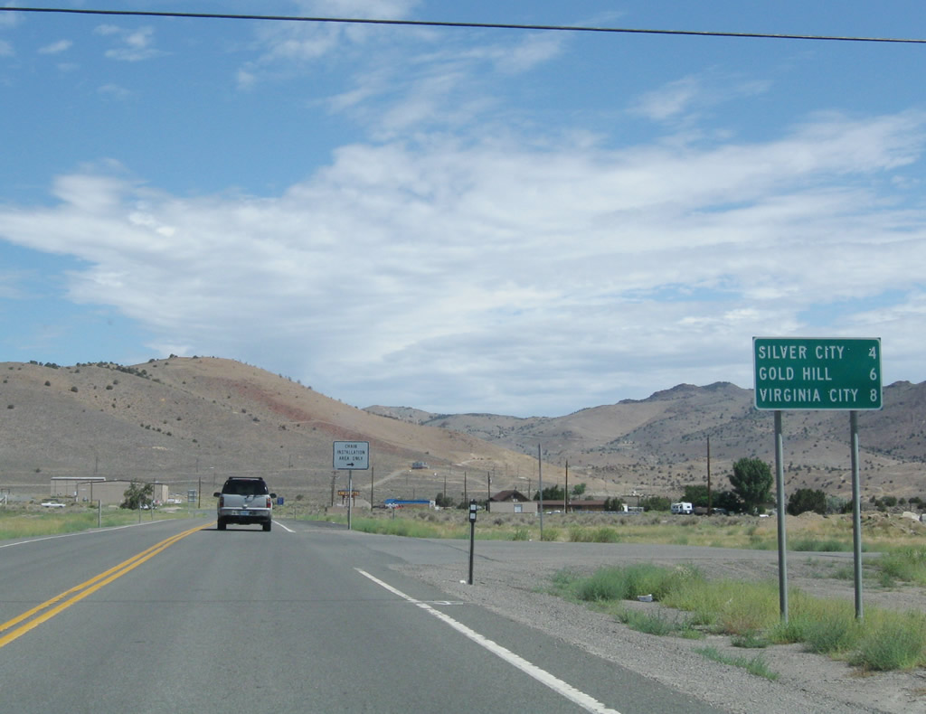
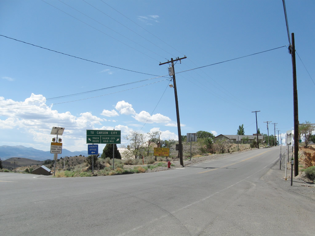
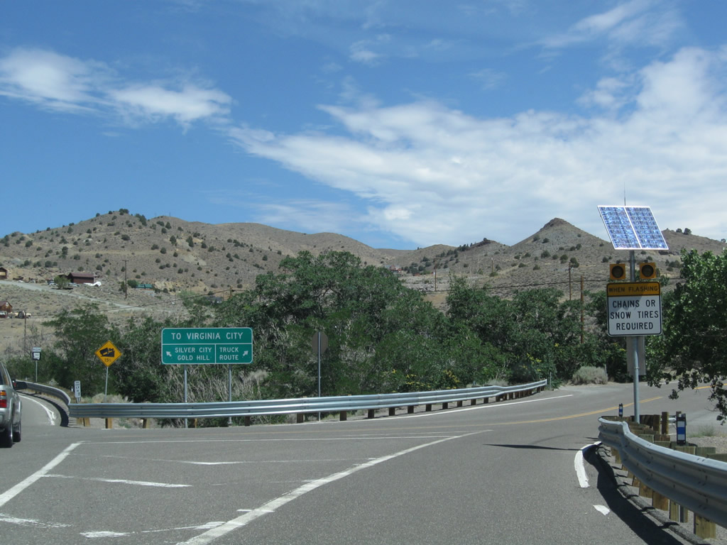
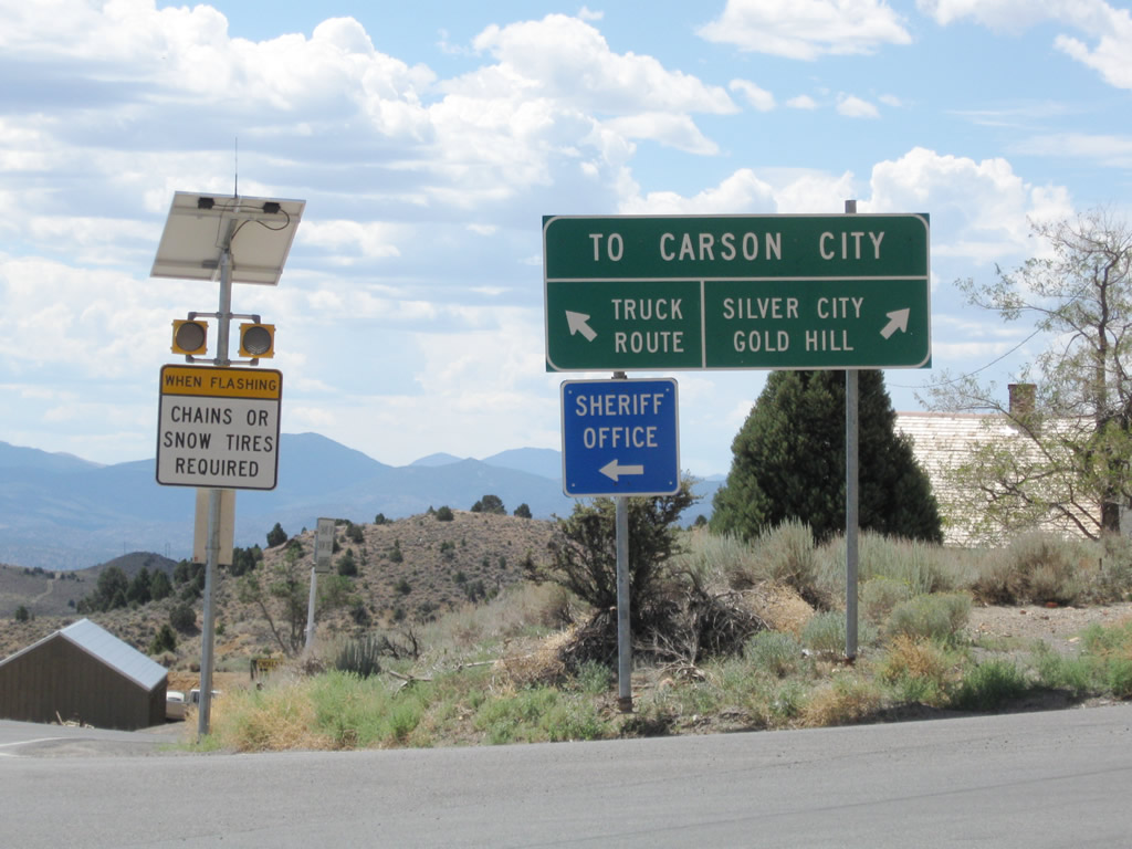
Nevada 341 (Comstock Highway) north distance sign for Silver City (four miles), Gold Hill (six miles), and Virginia City (eight miles).
07/23/09
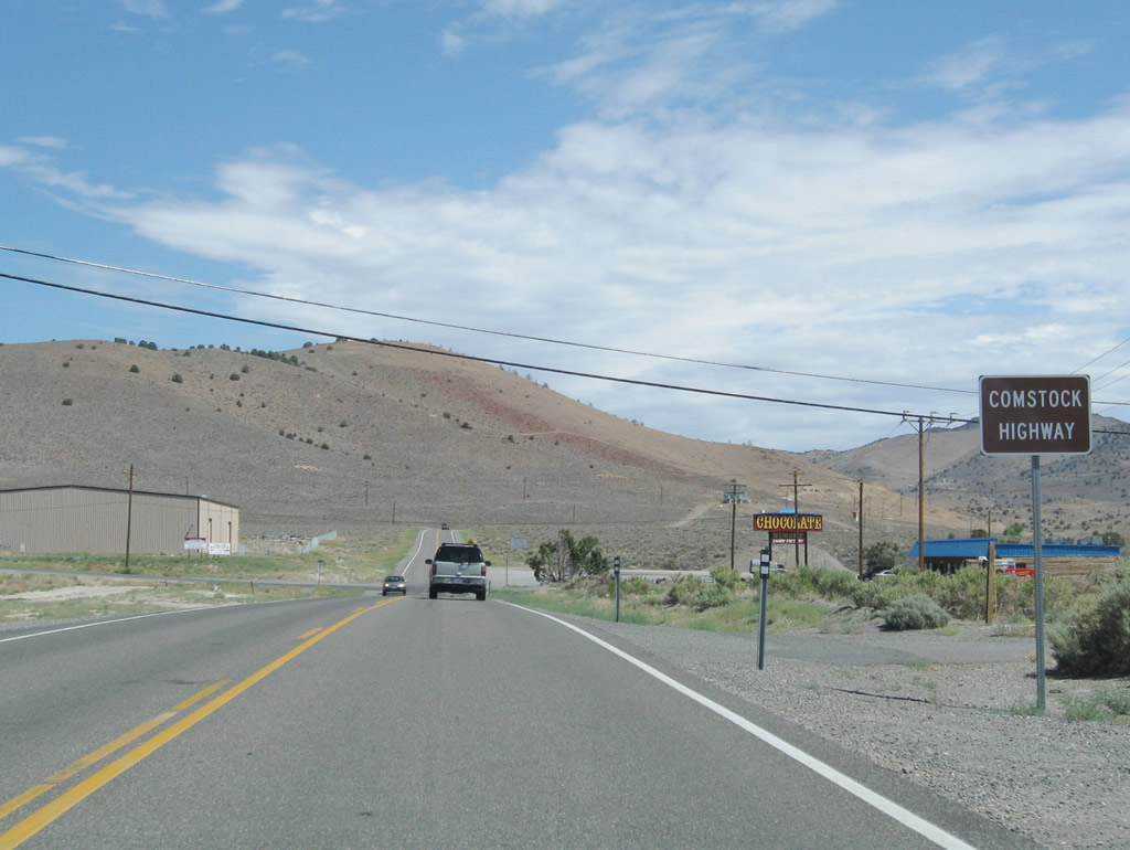
Nevada 341 is known as the Comstock Highway in honor of the Comstock Lode. The lode, which was one of the largest deposits of silver in the United States, was first discovered in 1859. The lode is primarily under Virginia City and Mount Davidson.
07/23/09
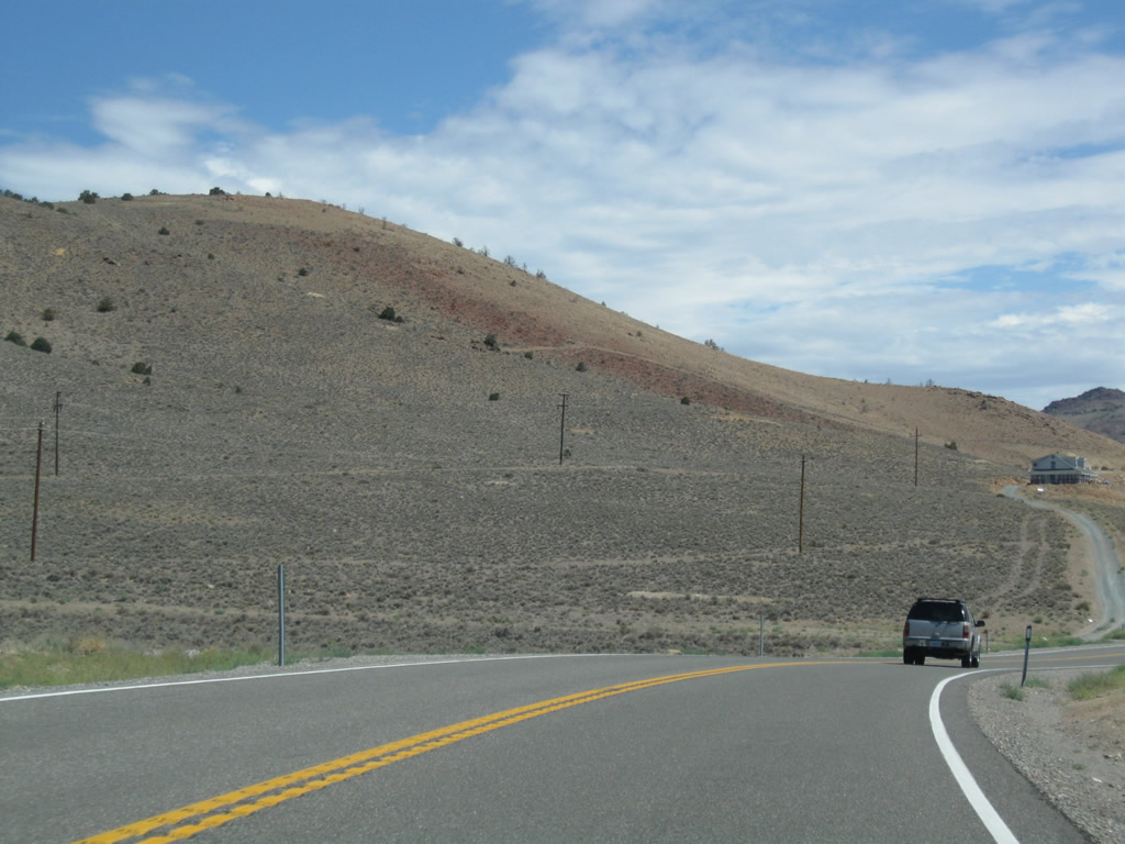
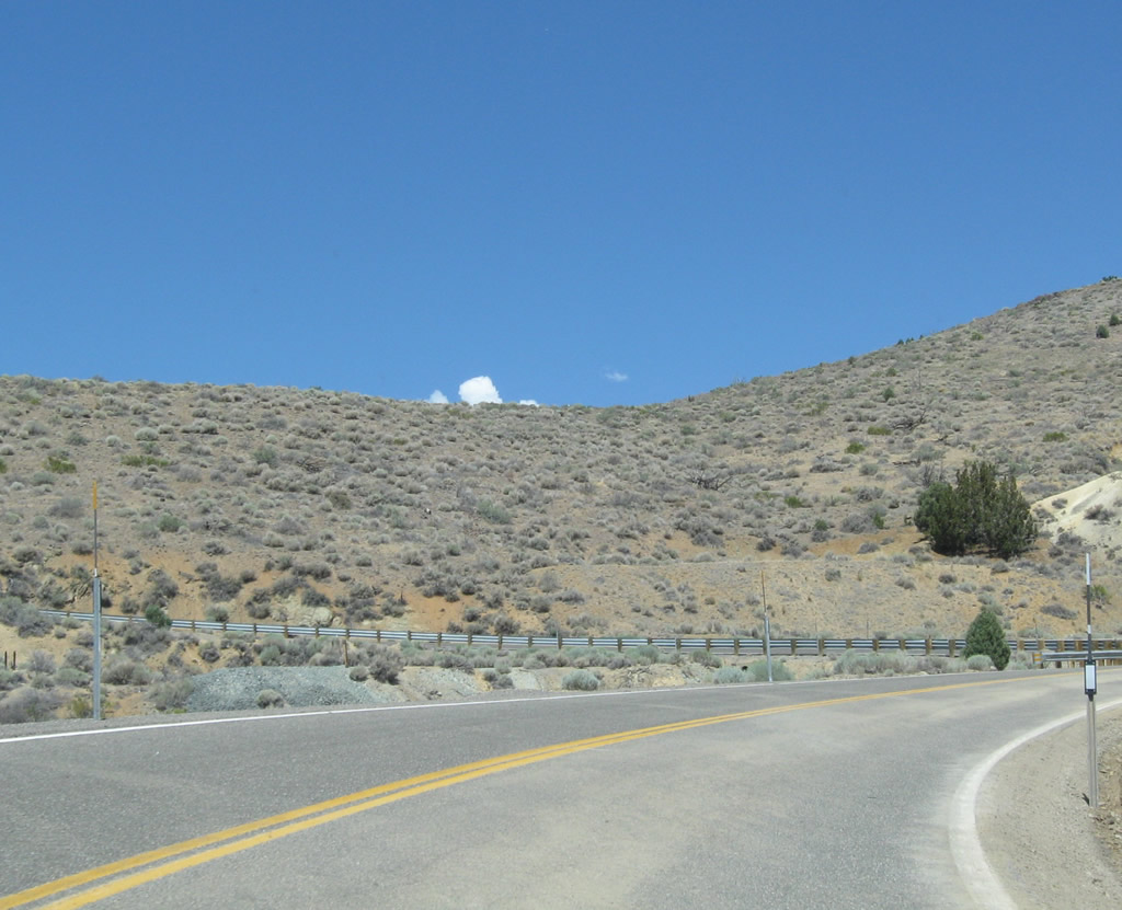
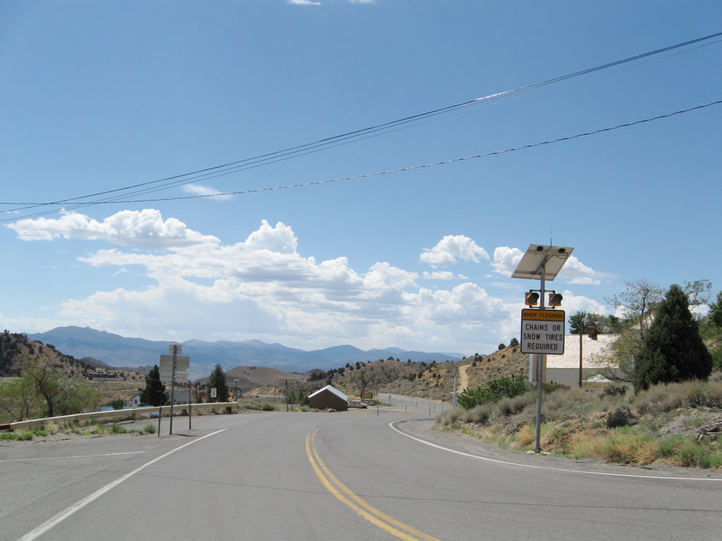
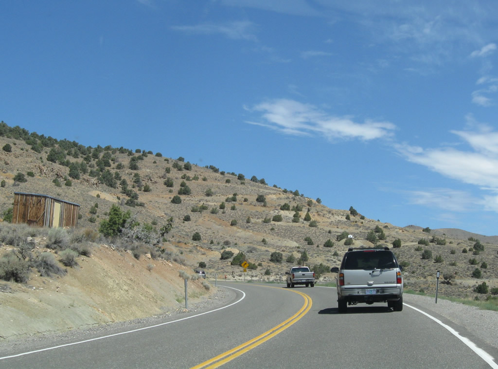
Nevada 341 (Comstock Highway) passes through the high desert lands east of Carson City and travels gradually uphill toward Virginia City.
07/23/09
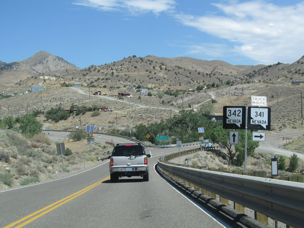
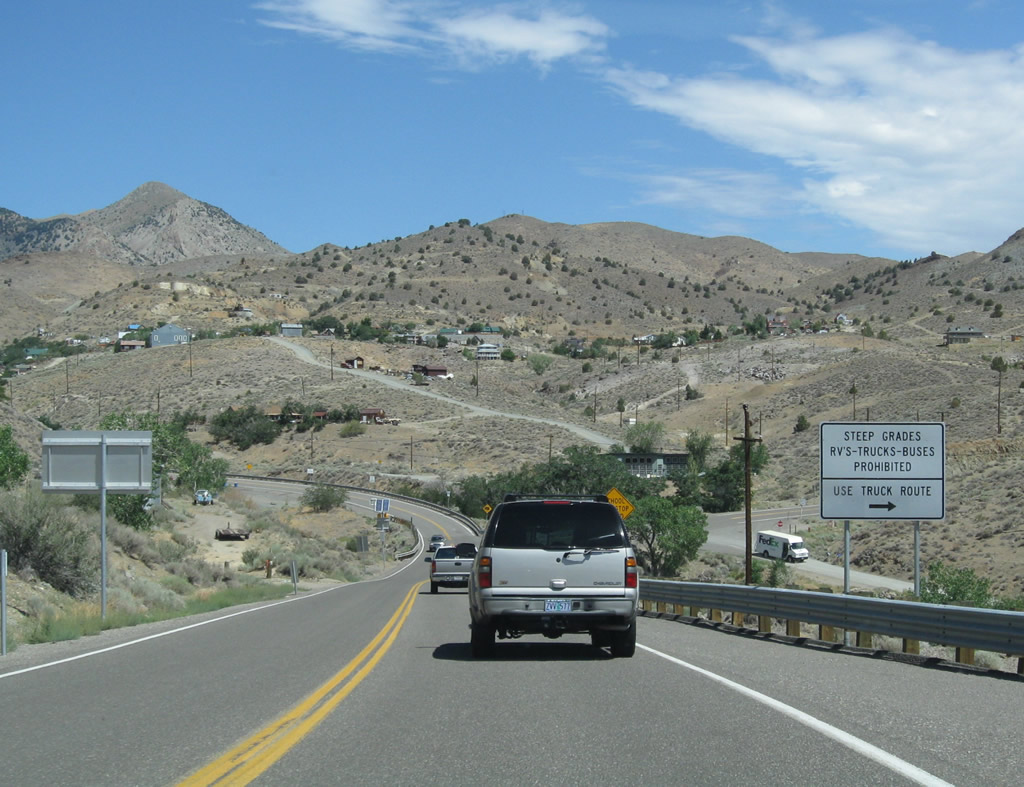
Nevada 342 follows the older road through Silver City and Gold Hill while Nevada 341 shifts east onto the truck route north to Virginia City.
07/23/09
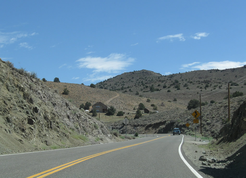
Known as the Occidental Grade, Nevada 341 bypasses Silver City and Gold Hill.
07/23/09
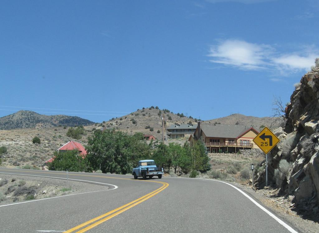
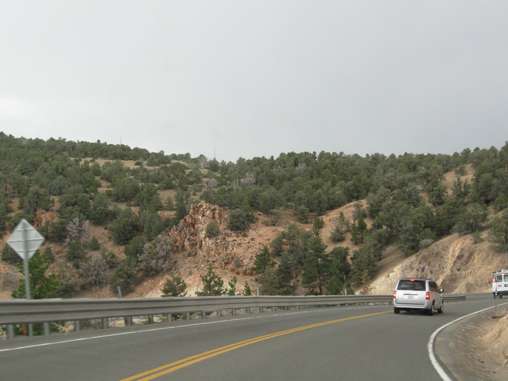
Proceeding north on the Occidental Grade, Nevada 341 is a winding road with less severe grades and curves than older Nevada 342. Prior to 1976, Nevada 341 was designated as Nevada 17, while Nevada 342 was signed as Nevada 80. The renumbering resulted in the present configuration of Nevada 341 and Nevada 342.
07/23/09
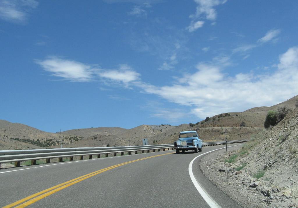
Nevada 341 continues north along the Occidental Grade.
07/23/09
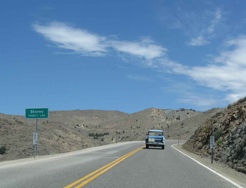
Nevada 341 leaves Lyon County and enters Storey County. The county was home to 3,399 as of the 2000 Census and 4,104 as of the 2020 Census.
07/23/09
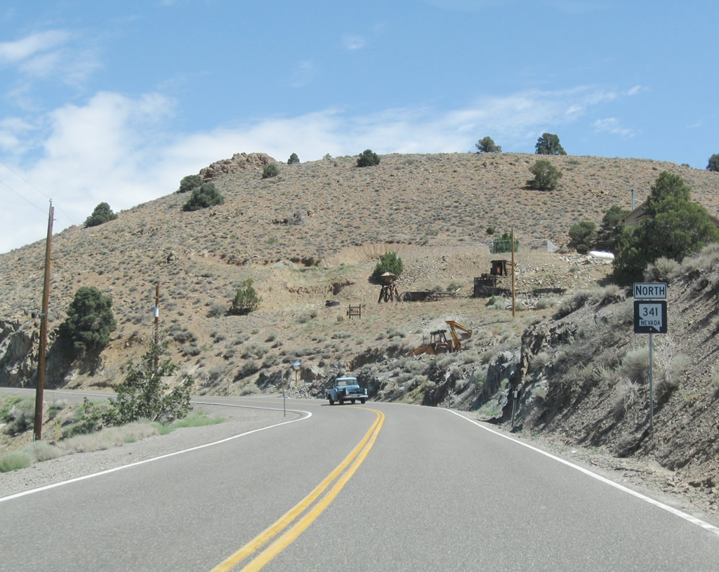
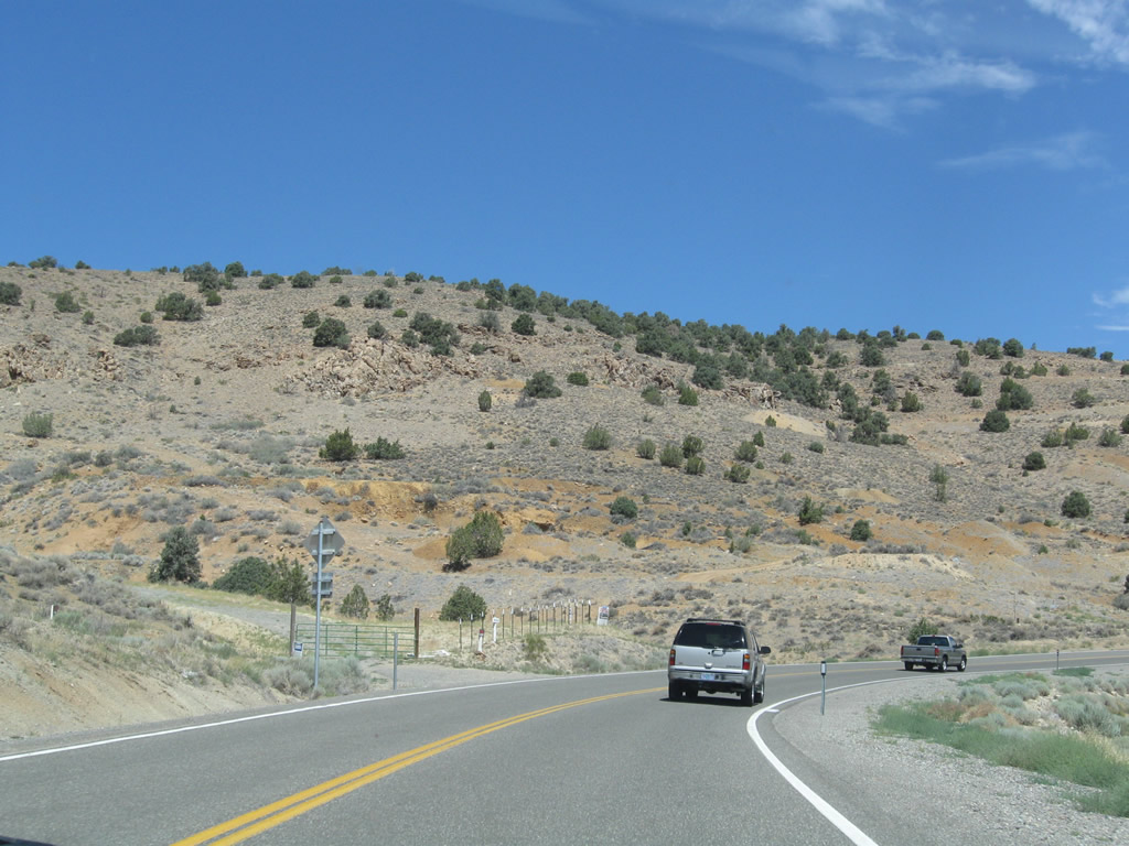
Nevada 341 continues to gain elevation en route to Virginia City. Evidence of prior mining activity can be seen throughout this area from very old and more recent claims.
07/23/09
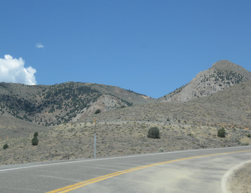
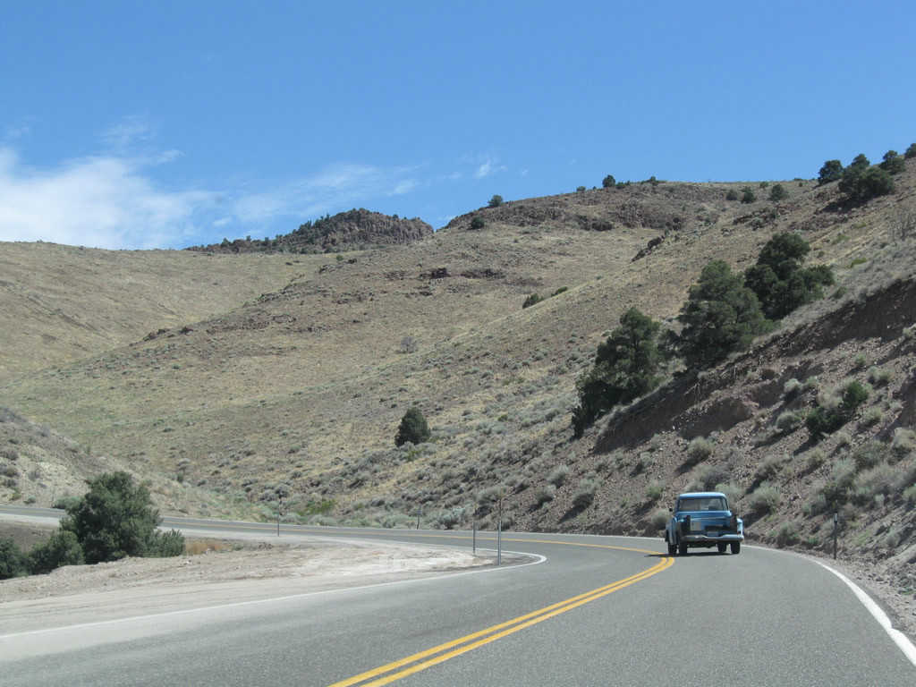
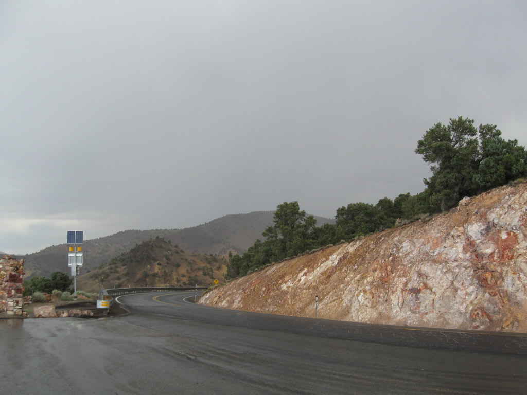
Switchbacks such as this are common along Nevada 341 on the Occidental Grade.
07/23/09
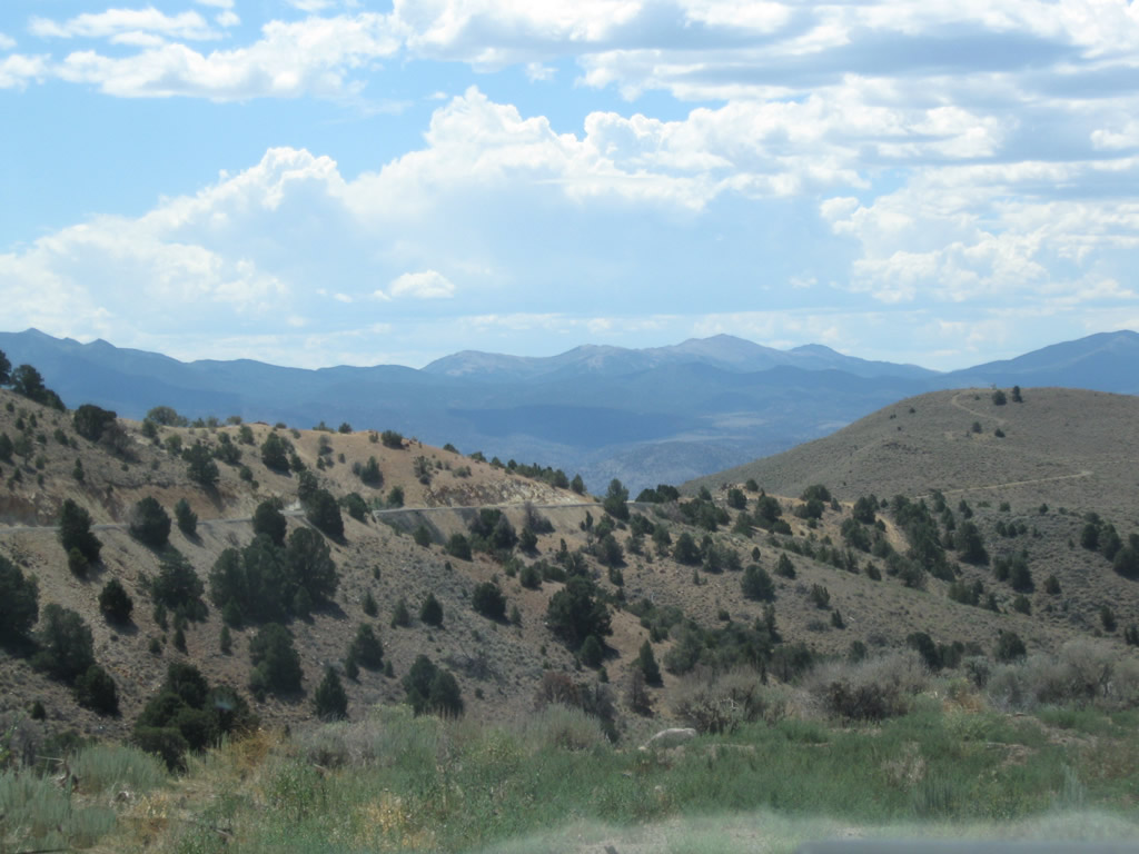
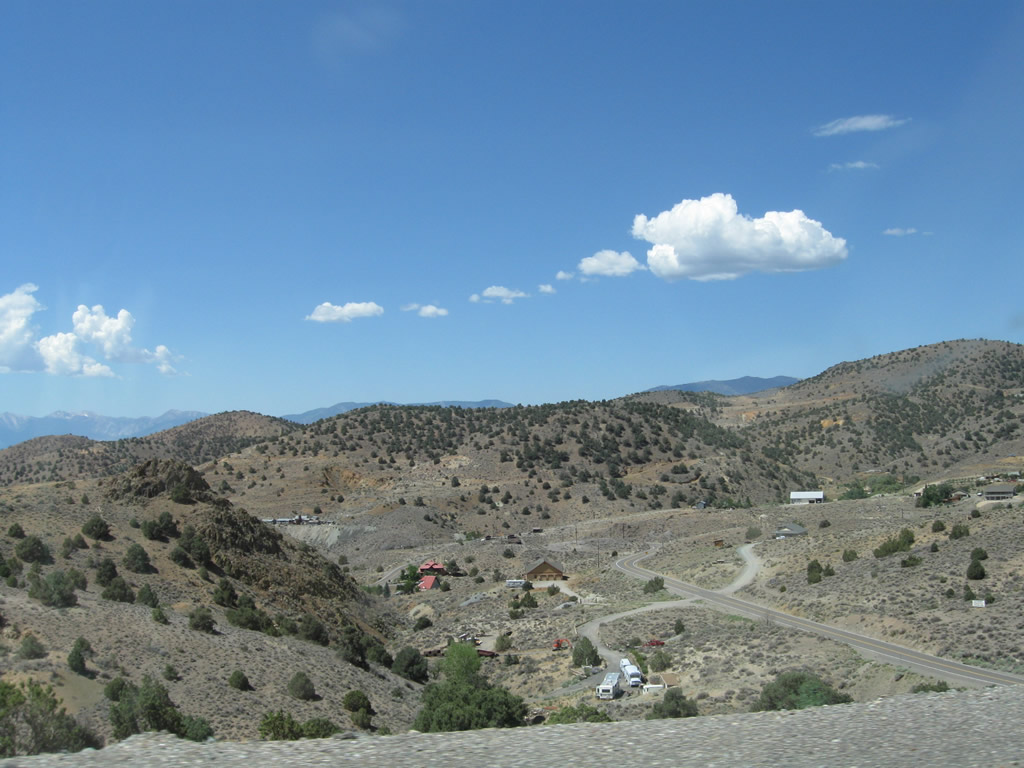
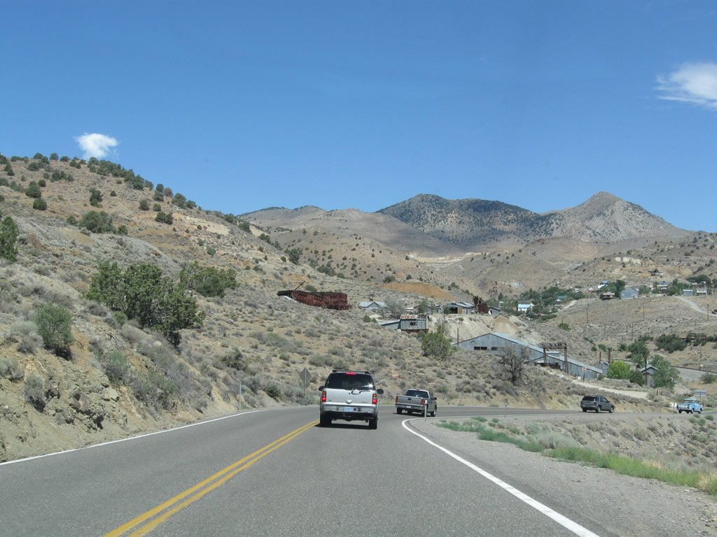
Nevada 341 (Occidental Grade) turns toward the northwest. Views of Gold Hill to the west and back toward Silver City are afforded by looking south and west from the highway.
07/23/09
Nevada 341 crosses over the Virginia & Truckee (V&T) Railroad. This railroad operates a tourist train that connects Virginia City with Gold Hill.
07/23/09
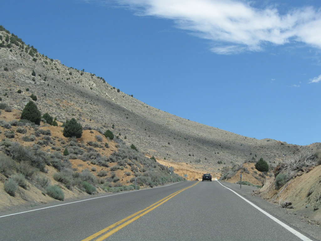
Nevada 341 makes a final push uphill to Virginia City.
07/23/09
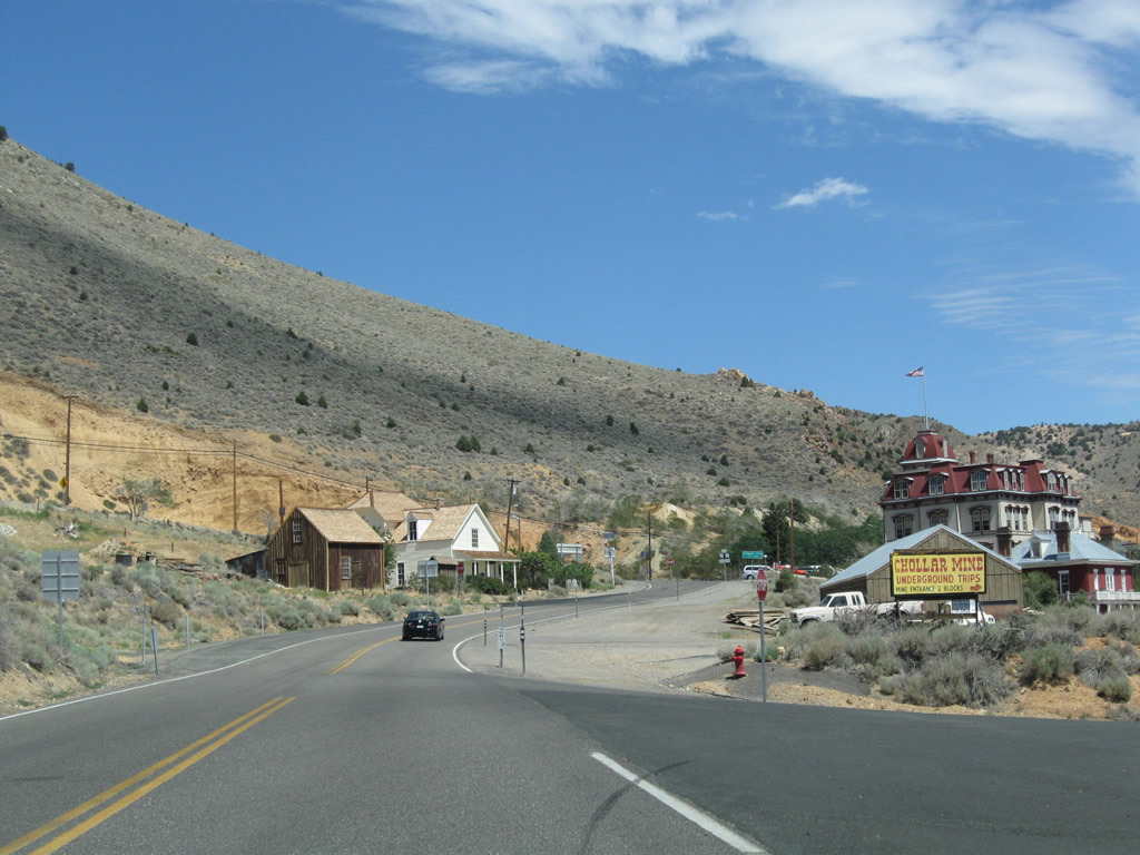
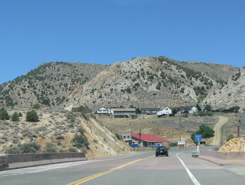
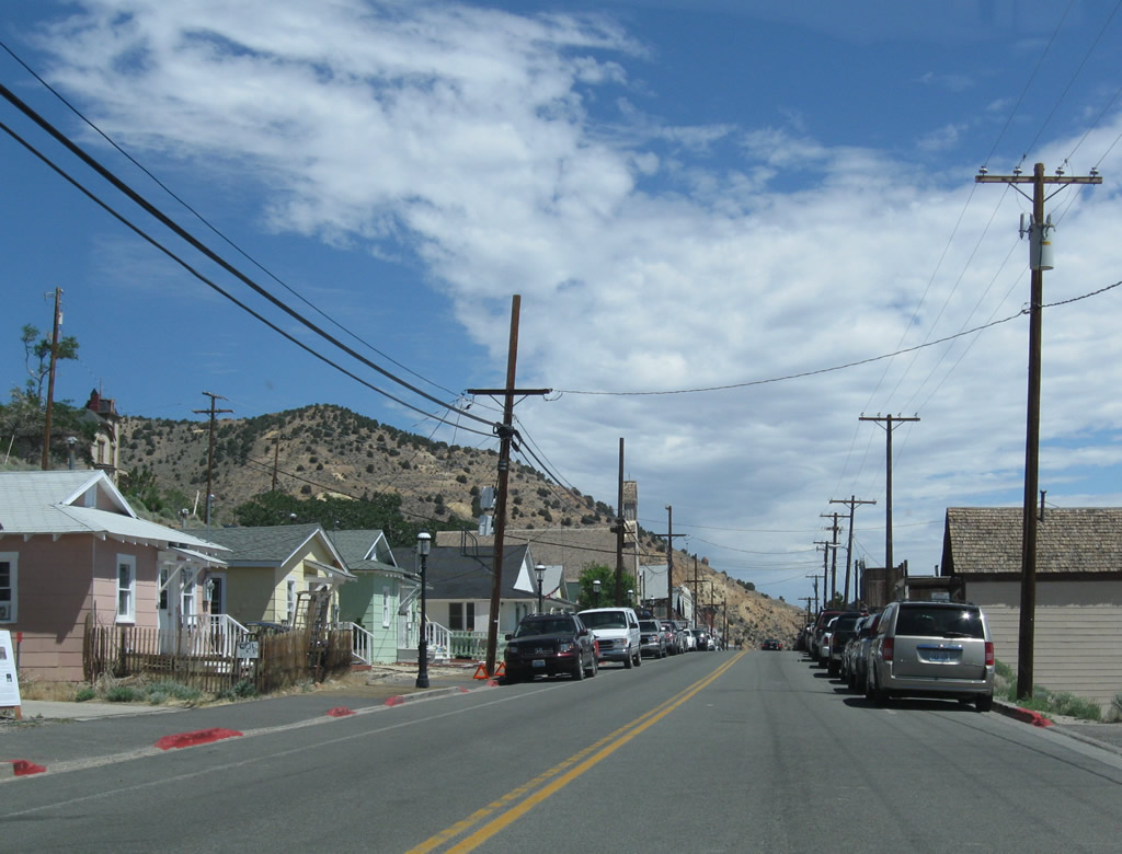
Virginia City comes into view along Nevada 341 at F Street north. F Street parallels Nevada 341 through Virginia City and provides an alternate route through town.
07/23/09
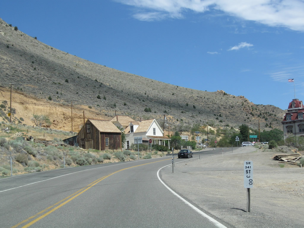
Post mile 3.00 for Nevada 341 stands north of F Street.
07/23/09
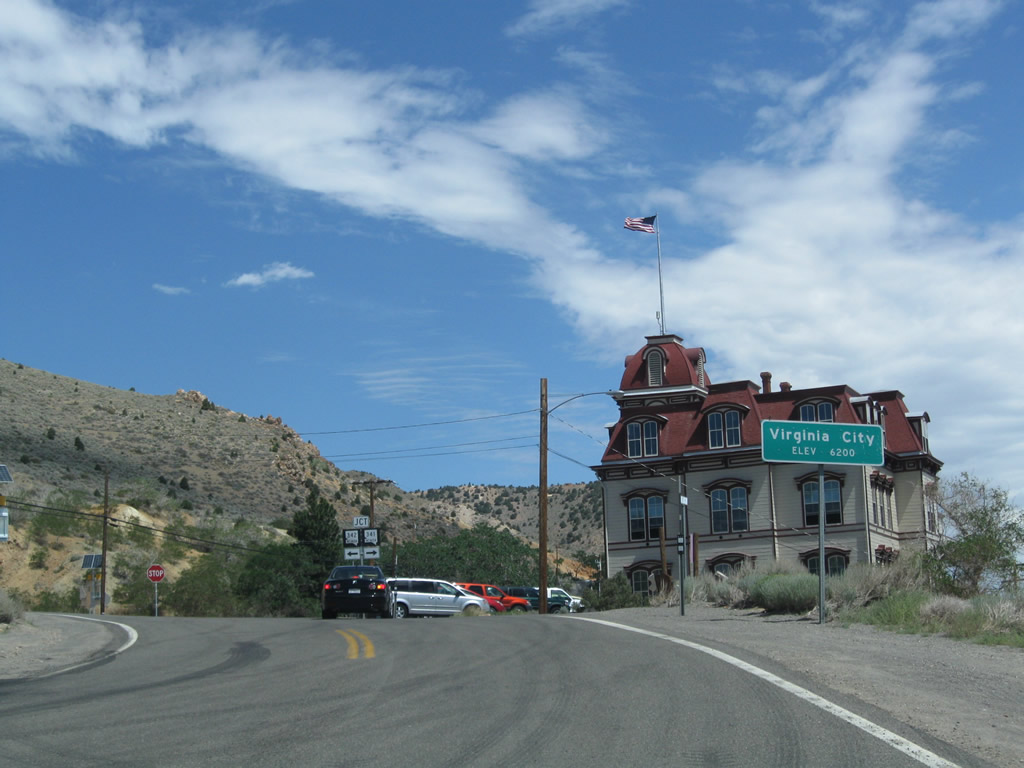
Seat of Storey County, Virginia City sits at an elevation of 6,200 feet above sea level, which is some 1,500 feet higher than Carson City (elevation 4,730 feet above sea level). A visitors center located in the center of town provides information on tours and attractions in this historic city.
07/23/09
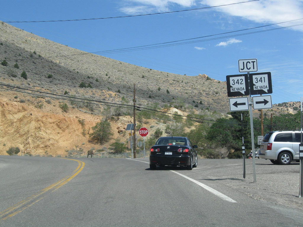
Nevada 342 returns to Nevada 341 along C Street. Nevada 342 heads south back to Gold Hill and Silver City while Nevada 341 overtakes C Street north through Virginia Cityen route to Geiger Grade, Mount Rose Junction and Reno.
07/23/09
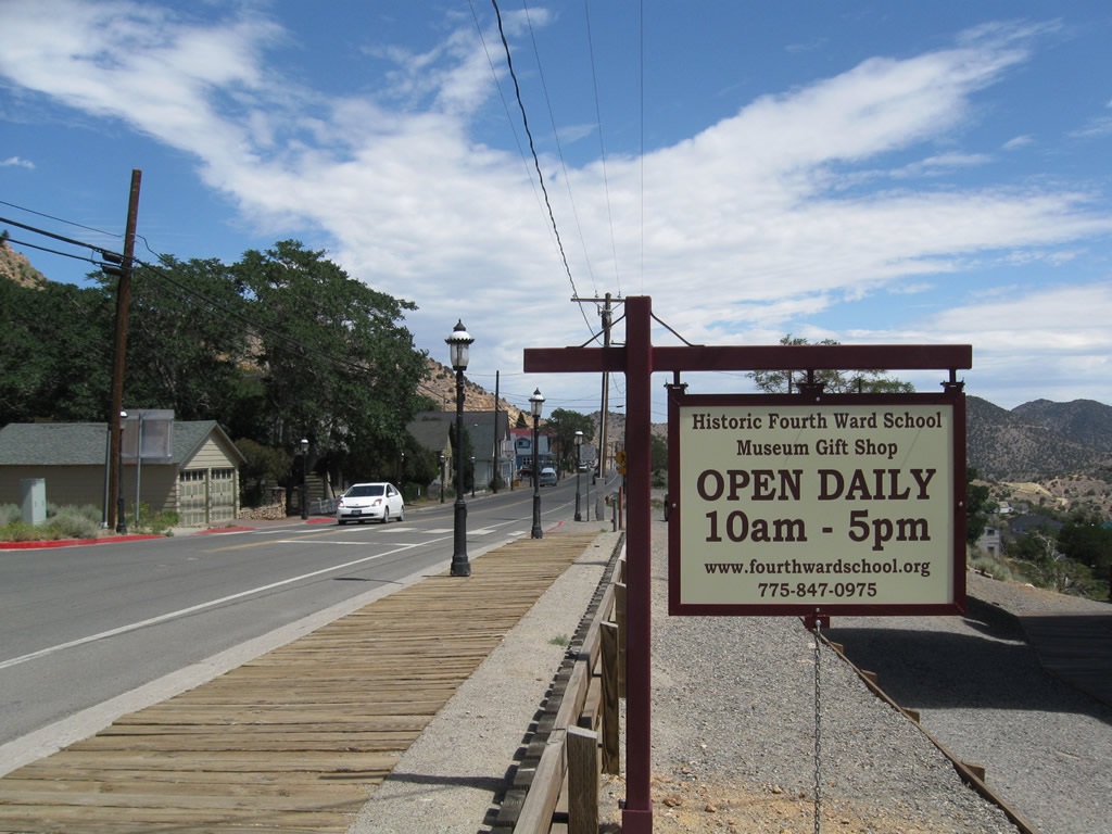
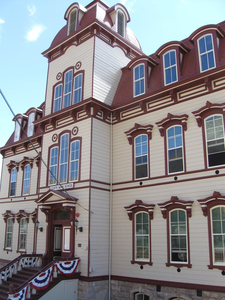
The historic building at the intersection of Nevada 341 and Nevada 342 is the Historic Fourth Ward School. This school turned into a museum is considered to be one of the top attractions of Virginia City.
07/23/09
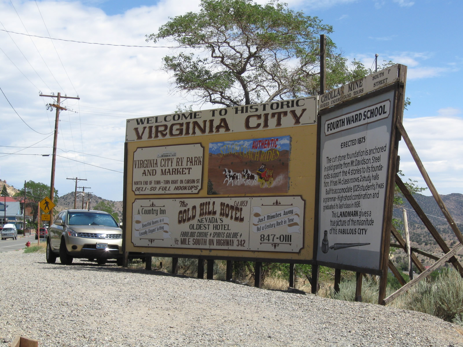
A billboard style welcome sign for Virginia City references some of the tourist attractions, such as the adjacent Fourth Ward School and Gold Hill Hotel.
07/23/09
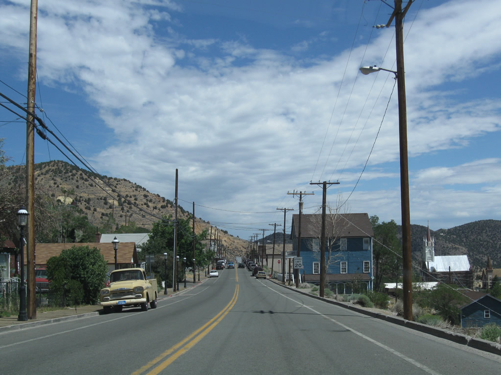
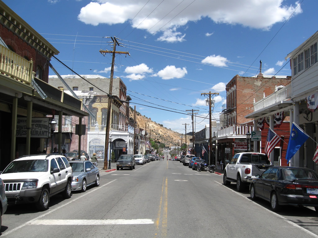
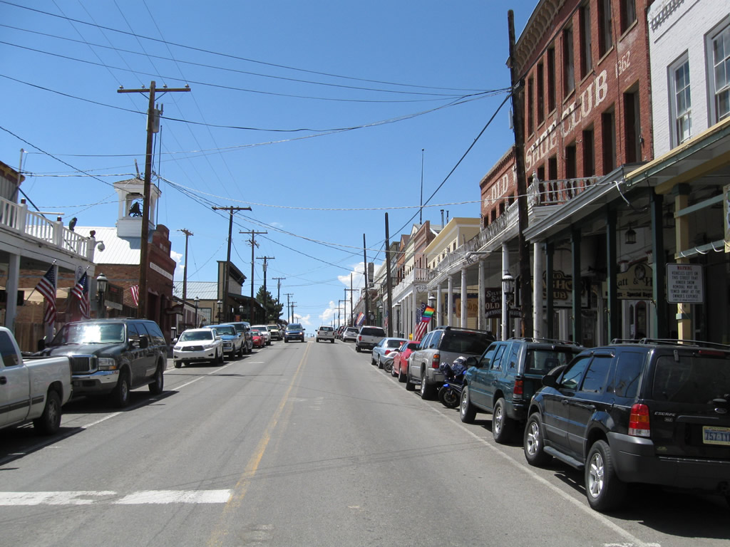
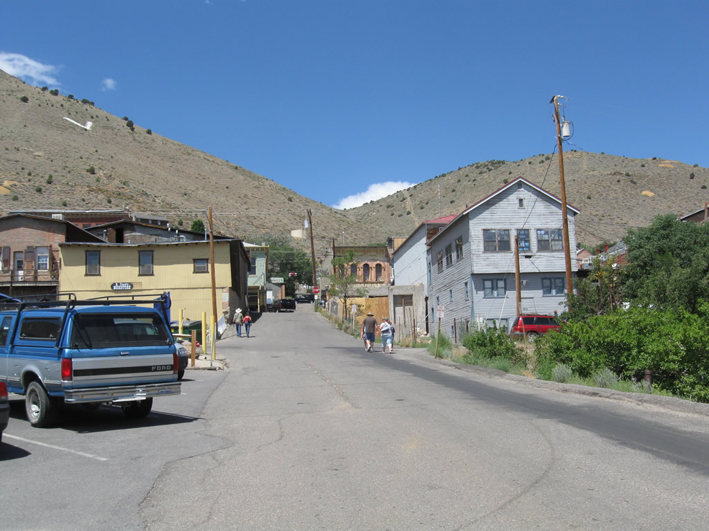
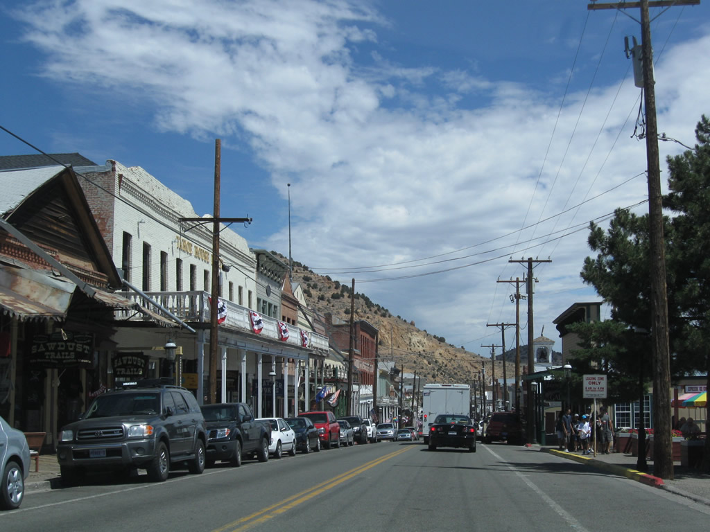
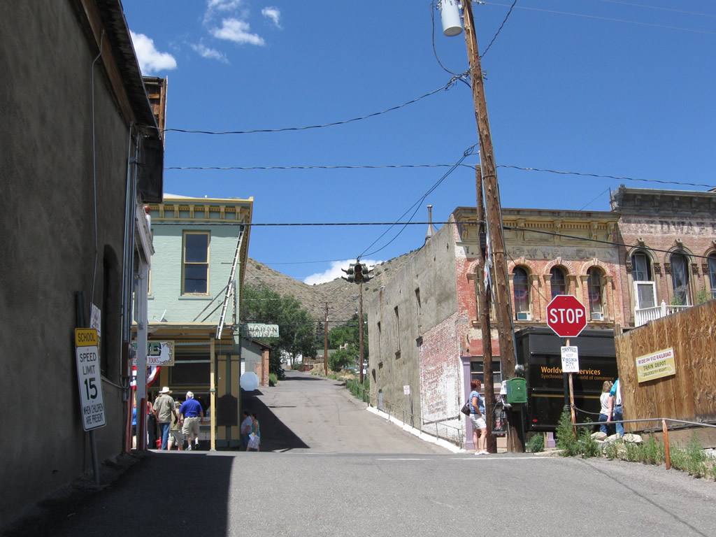
Advancing to Downtown Virginia City, northbound Nevada 341 follows C Street past increasingly historic buildings, many of which date to the mining town's heyday in the 19th century.
07/23/09
A flashing beacon operates at the intersection of Nevada 341 (C Street) and Taylor Street in Downtown Virginia City.
07/23/09
Northbound C Street (Nevada 341) meets Union Street at this intersection.
07/23/09
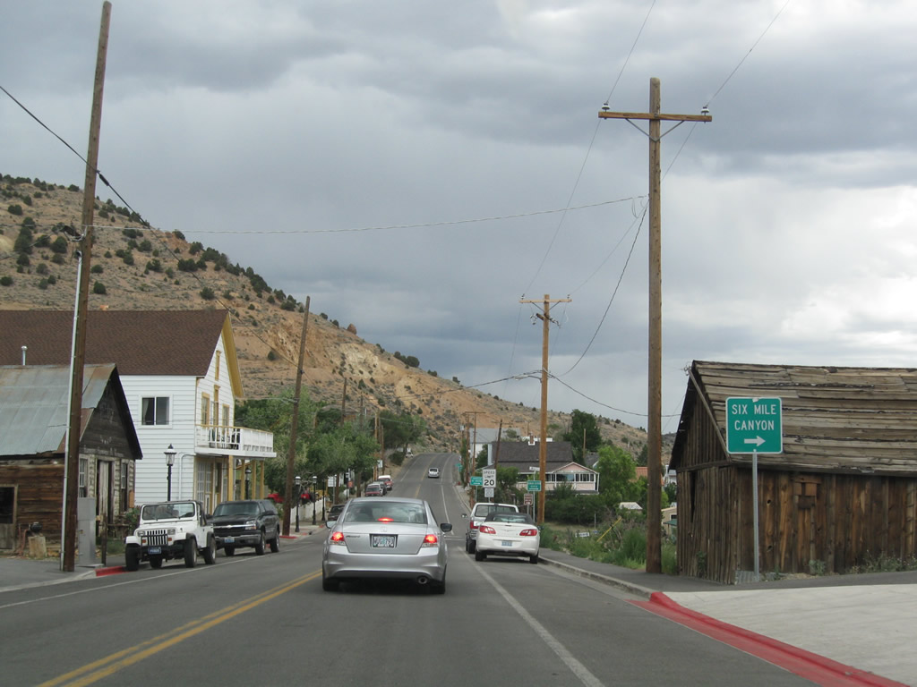
Formerly Nevada Route 79, Mill Street (Six Mile Canyon Road) stems east from Nevada 341 to U.S. 50 near Dayton. The highway was relinquished by the state around 1976.
07/23/09
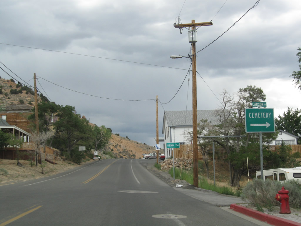
Northbound Nevada 341 meets Carson Street just ahead of a distance sign for Reno via Nevada 341 (Geiger Grade) to I-580/U.S. 395 north.
07/23/09
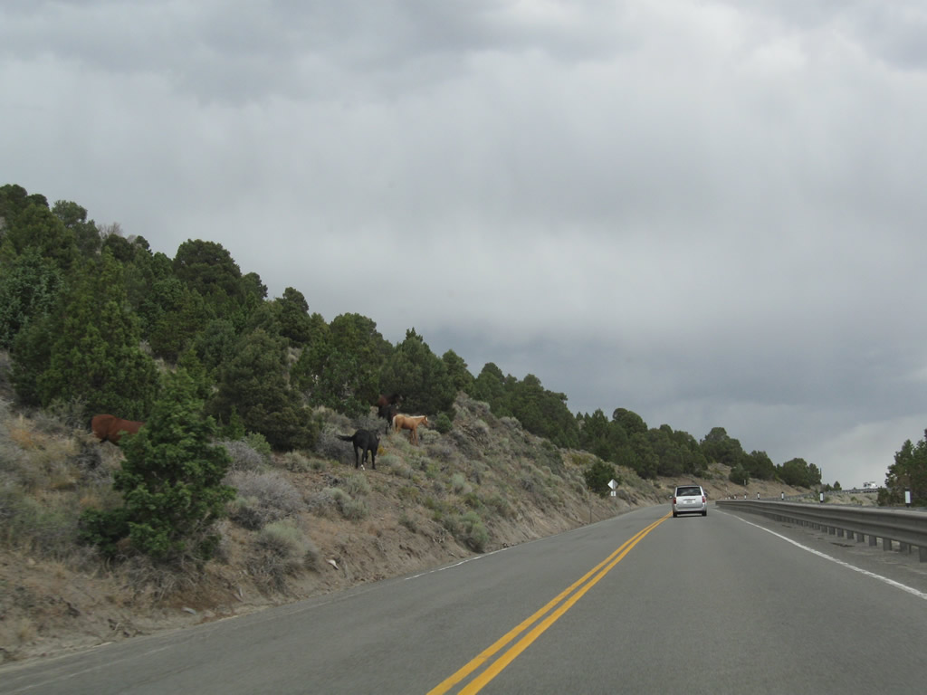
Northward from Virginia City, Nevada 341 (Comstock Highway) climbs to Geiger Summit. Wild horses may appear alongside the state route on this stretch.
07/23/09
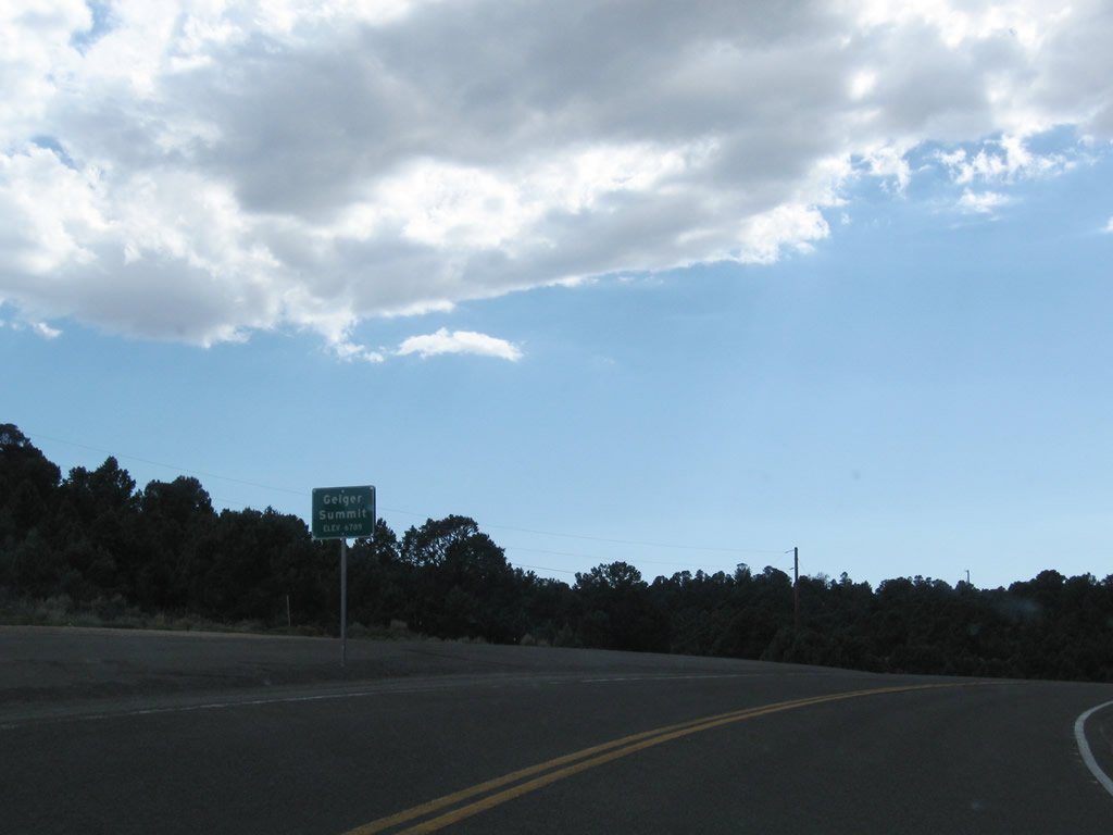
Nevada 341 (Comstock Highway) tops out at 6,789 feet above sea level across Geiger Summit.
07/23/09
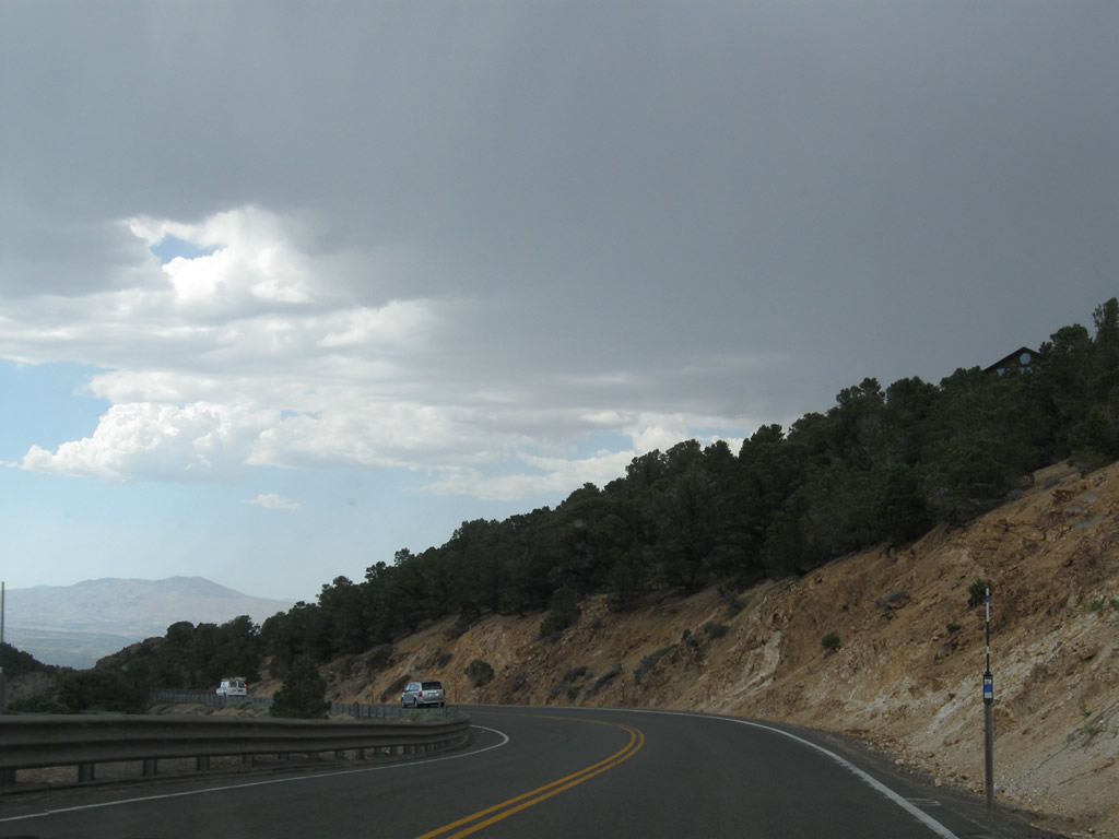
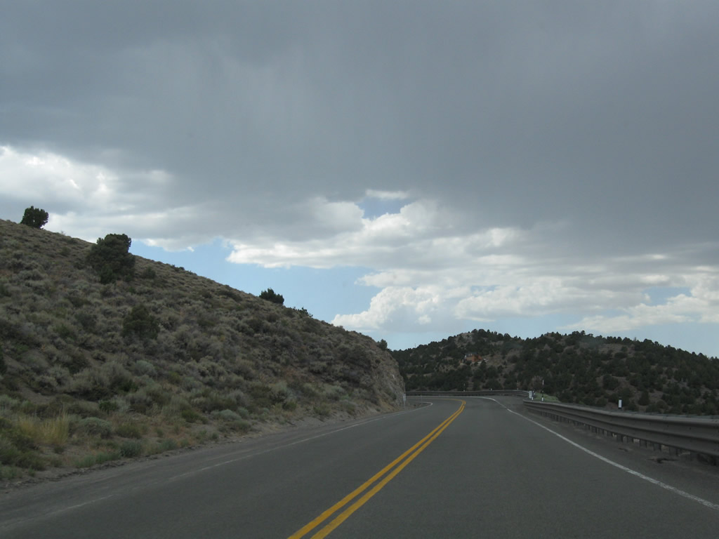
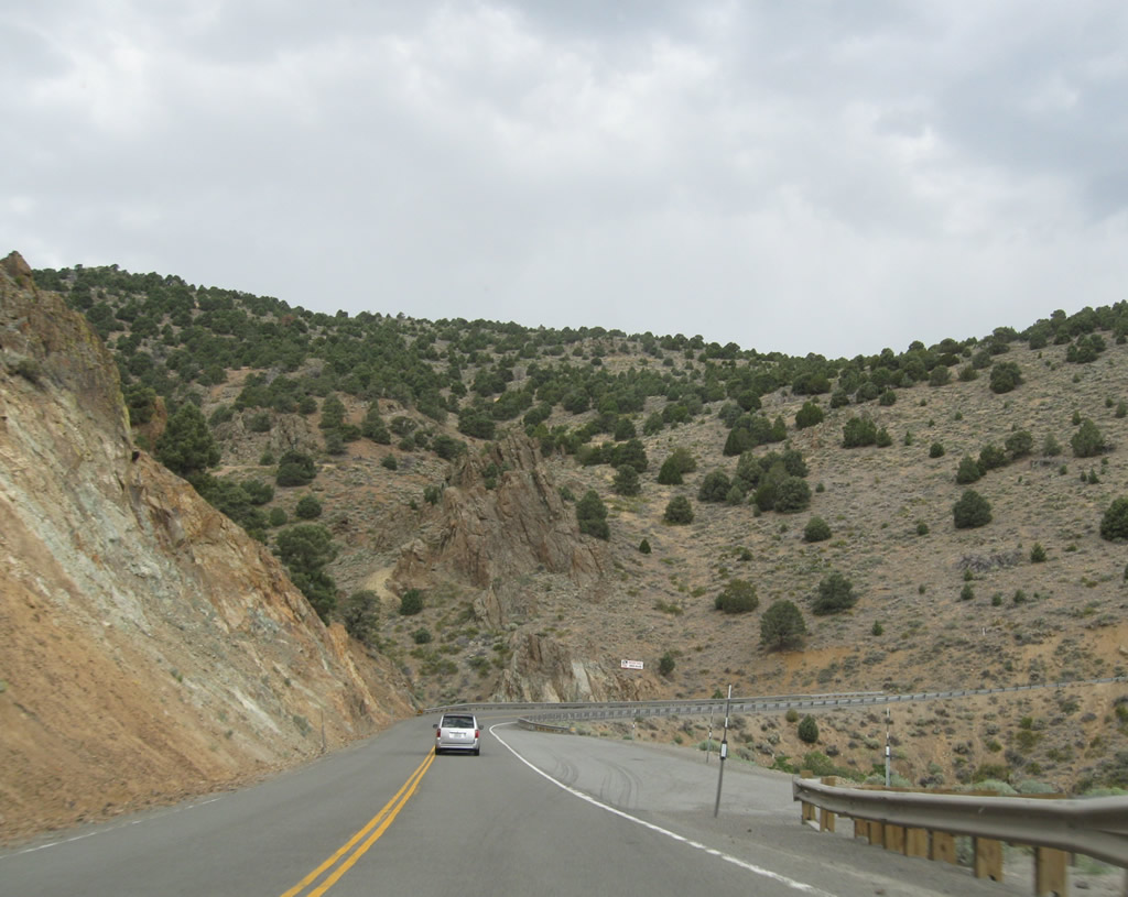
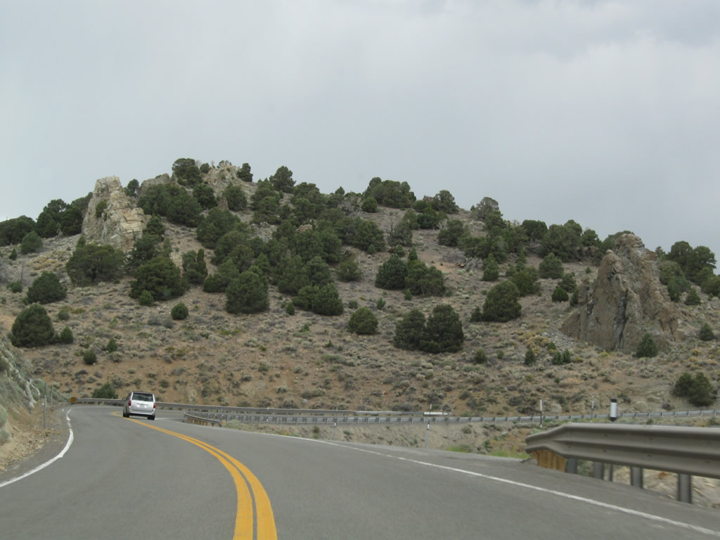
Like the companion route of Nevada 431, Nevada 341 (Comstock Highway) takes a very significant and steep descent into Mount Rose Junction.
07/23/09
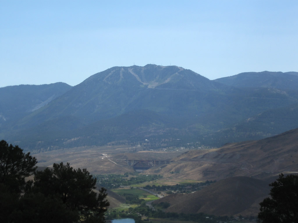
A view to the west looks toward Mount Rose and the Interstate 580 Galena Creek Arch Bridge.
07/23/09
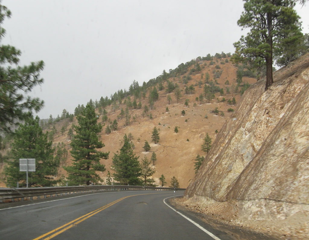
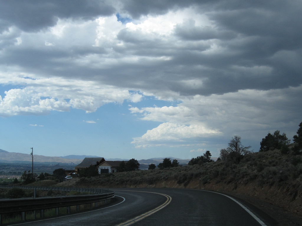
Continuing west across the Virginia Range, Nevada 341 (Geiger Grade) enters Washoe County ahead of suburban areas in south Reno.
07/23/09
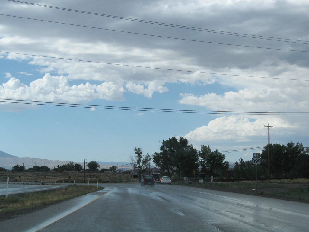
Reaching the bottom of the Geiger Grade in a thunderstorm, northbound Nevada 341 converges with U.S. 395 ALT (Virginia Street) and Nevada 431.
07/23/09
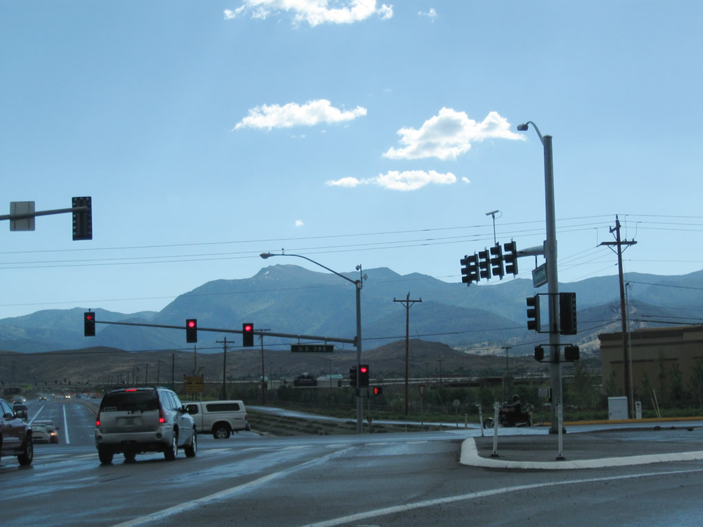
Nevada 341 ends at a signalized intersection with U.S. 395 ALT (Virginia Street) and Nevada 431 (Mount Rose Highway) southwest to Galena and Incline Village. U.S. 395 ALT parallels I-580/U.S. 395 south to Steamboat Valley while the freeway leads to Washoe City and Carson City. U.S. 395 ALT north links Nevada 341 with I-580/U.S. 395 north toward Downtown Reno and Sparks.
07/23/09
Nevada 341 (C Street) south of Taylor Street in Downtown Virginia City.
07/23/09
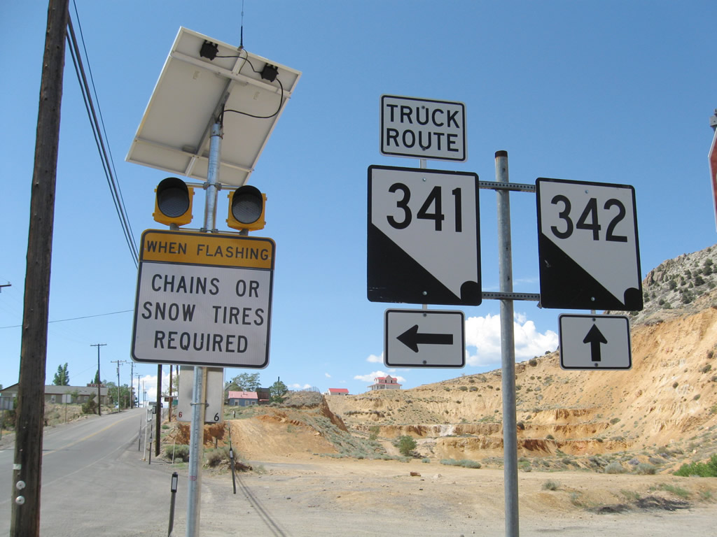
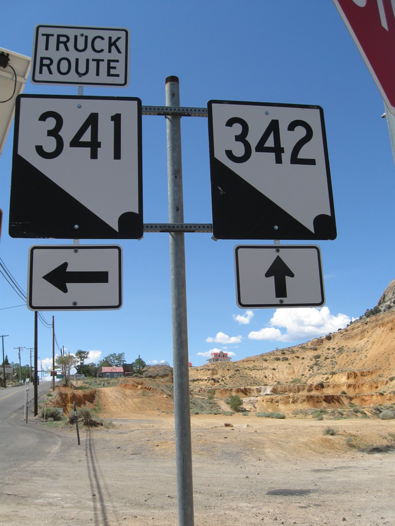
Southbound Nevada 341 (C Street) splits with Nevada 342 adjacent to the Fourth Ward School in Virginia City. Following Occidental Grade, Nevada 341 is the designated truck route south to U.S. 50.
07/23/09
Steeper grades and curves are found on the older roadway taken by Nevada 342 through Gold Hill while Nevada 341 is less steep running beteen Long Canyon and Flowery Ridge.
07/23/09
Nevada 341 proceeds south from Virginia City along the Occidental Grade toward Silver City and U.S. 50.
07/23/09
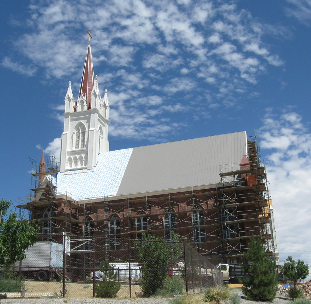
One of the historic buildings found around Virginia City is St. Mary's in the Mountains Catholic Church, which was built around 1875.
07/23/09
Taylor Street leads west to intersect C Street (Nevada 341) in Downtown Virginia City.
07/23/09
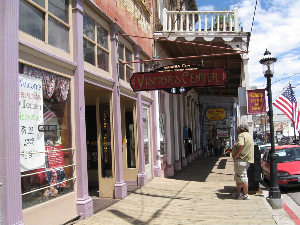
The Virginia City Convention and Visitors Bureau is located at the northwest corner of the intersection between C Street (Nevada 341) and Taylor Street.
07/23/09
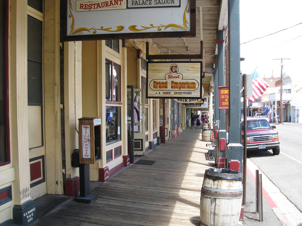
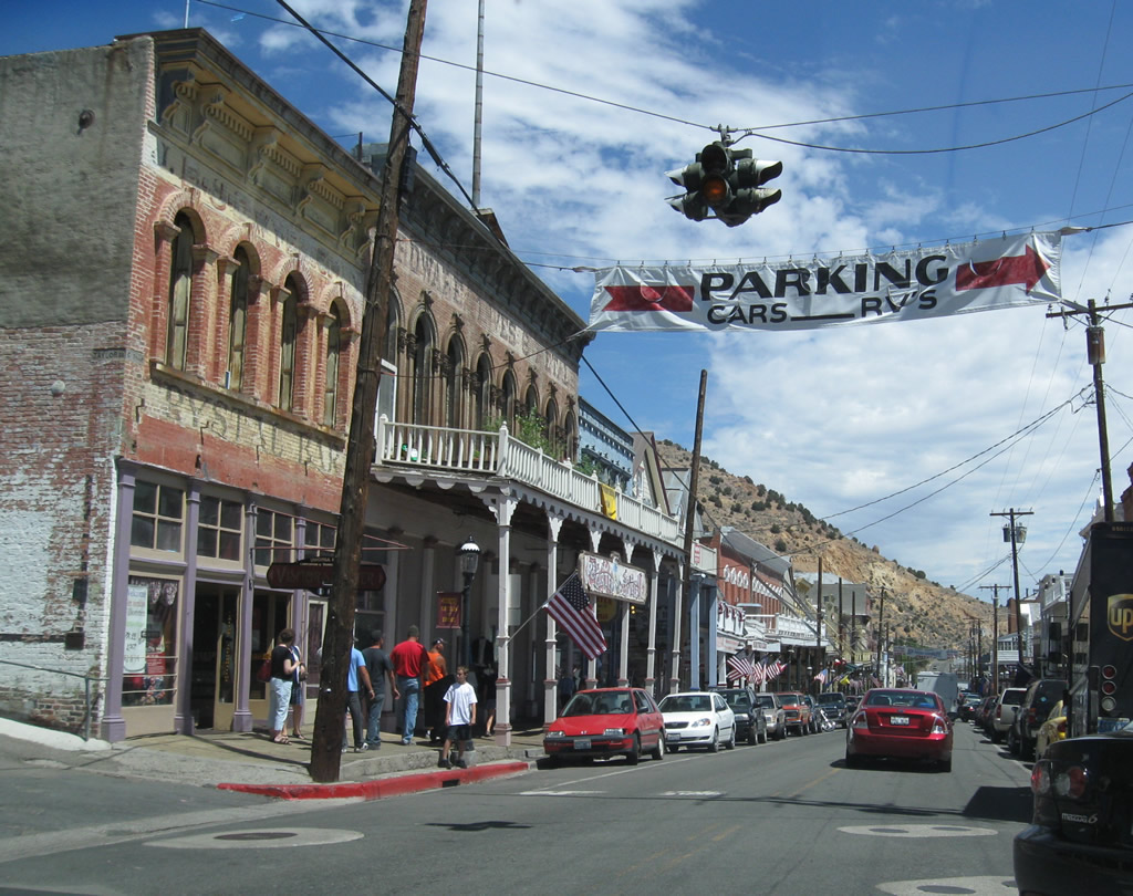
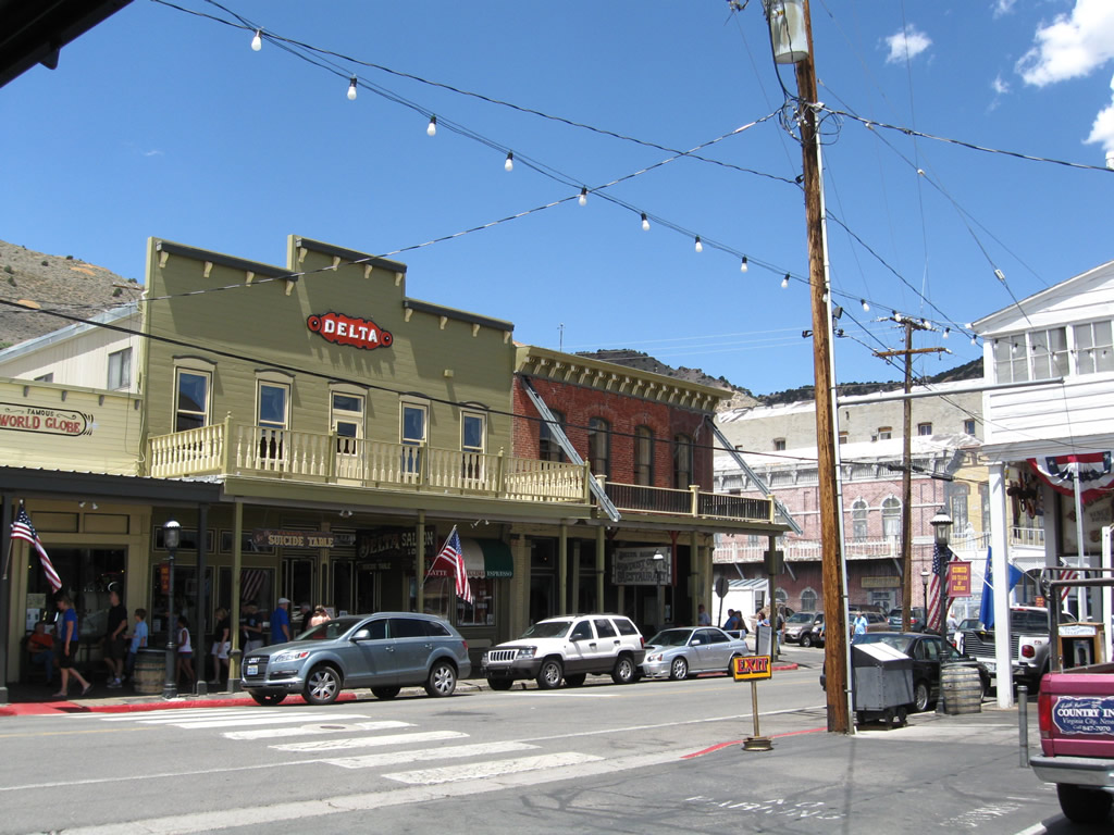
A variety of shops, restaurants, hotels, and casinos are linked by authentic covered wooden walkways along C Street.
07/23/09
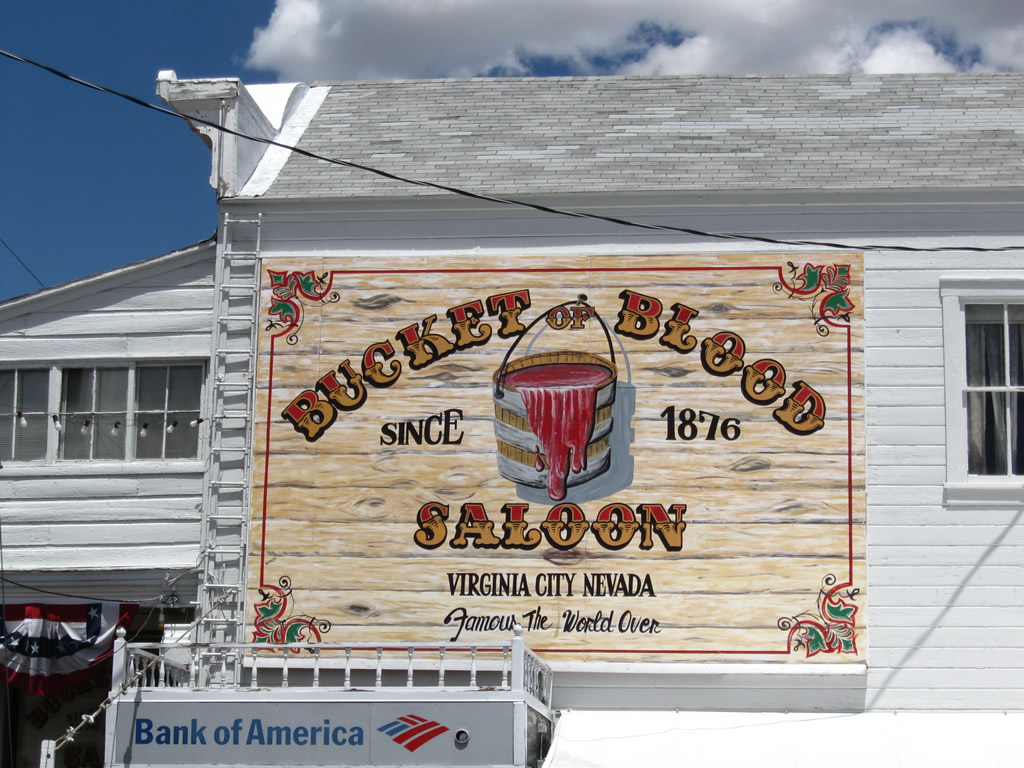
The Bucket of Blood Saloon is advertised around Virginia City and has a unique history that led to its naming. This photo was taken in a parking lot near the intersection of C Street and Union Street.
07/23/09
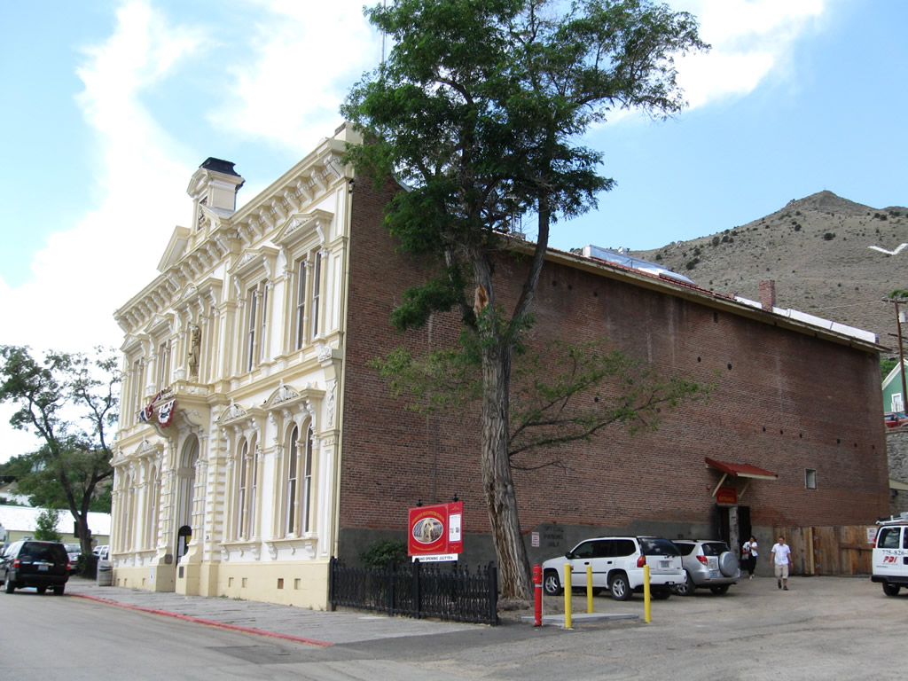
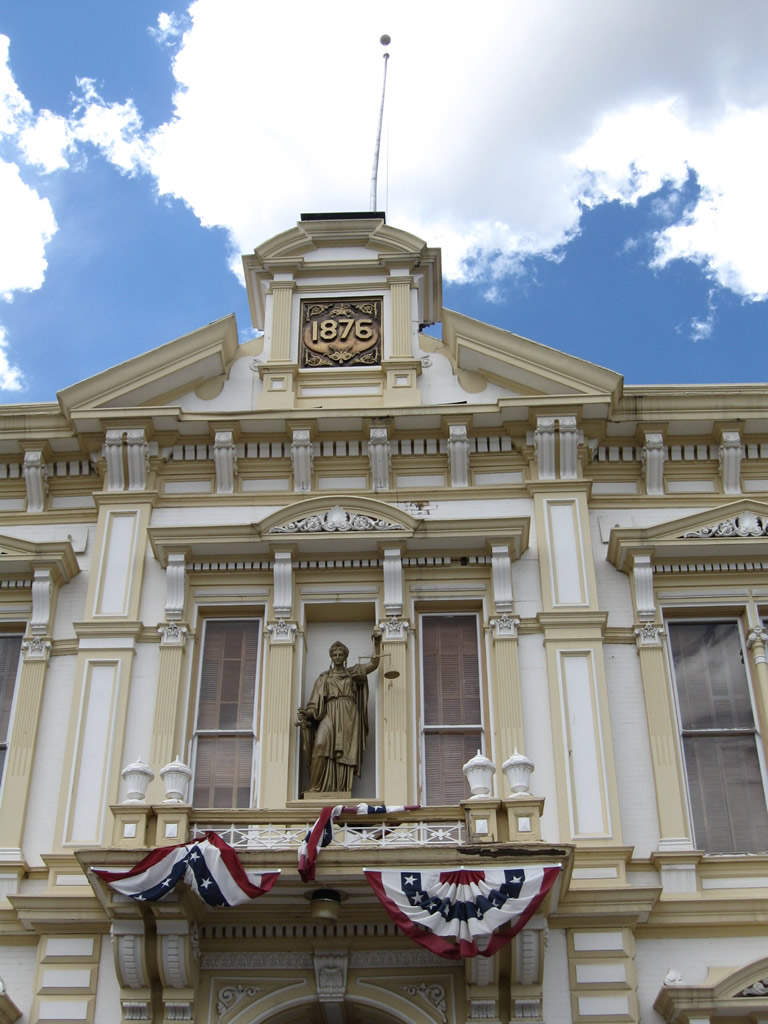
Located at the southwest corner of the intersection of B Street and Union Street, the Storey County Courthouse was built in 1876.
07/23/09
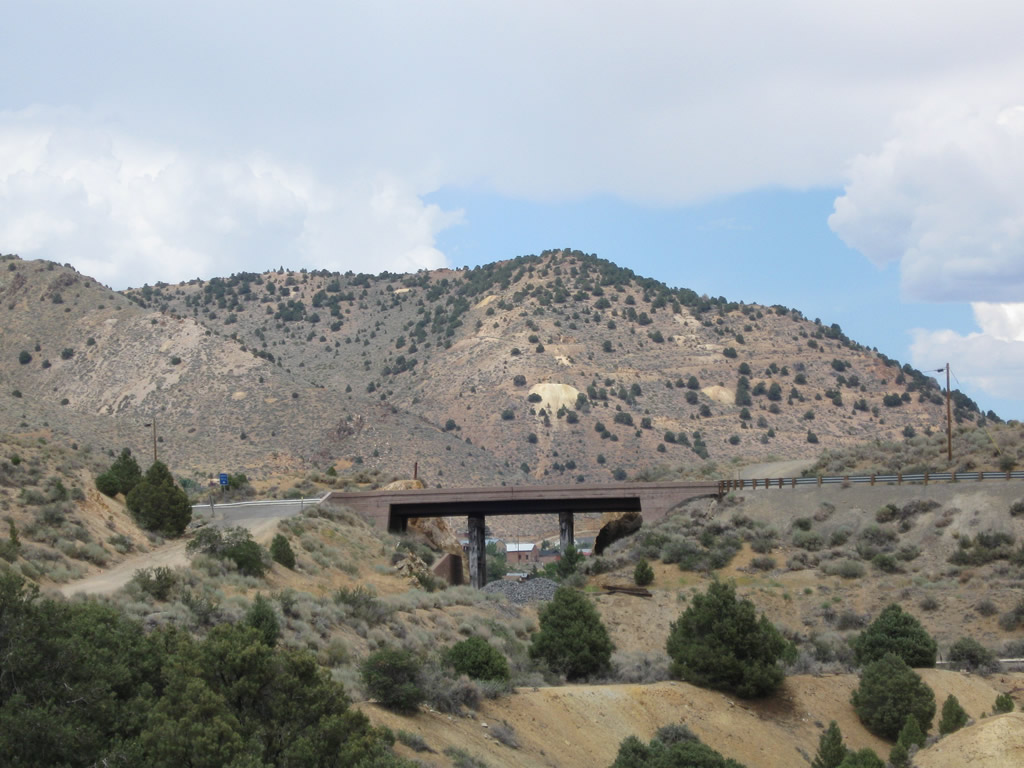
This view looks north at the Nevada 341 (Occidental Grade) bridge over the Virginia & Truckee Railroad in southern Virginia City.
07/23/09
Photo Credits:
- Andy Field: 07/23/09
Connect with:
Page Updated Saturday July 14, 2012.