
Former State Route 512
Nevada State Route 512 once followed a number of west Carson City streets on a 2.282 mile long alignment from Kings Canyon Creek, connecting the state capital with nearby Kings Canyon Waterfalls site. The state route was turned over to local control by January 2010.1
Beginning at Kings Canyon Creek, SR 512 traveled along a 1.38 mile section of Kings Canyon Road easterly to the limits of Carson City and former SR 516 (West Ormsby Boulevard). West King Street continued the state route east 0.59 miles to South Division Street where it stair-stepped four blocks south to West 5th Street. SR 512 then followed W 5th Street 0.14 miles east to end at S Carson Street (former U.S. 395 Business).
Historically SR 512 along West King Street and Kings Canyon Road represented a portion of the Lincoln Highway and dates back to the mid 1800s.2
 East
East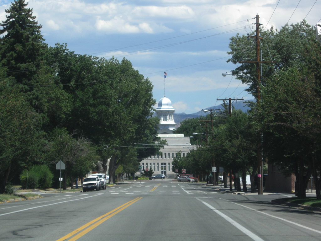
West King Street (former SR 512) intersects Thompson Street along a linear course across several city blocks within Carson City.
07/19/09
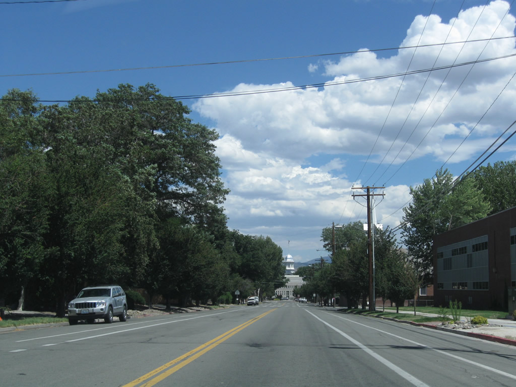
Thompson Street stems south from West King Street through residential neighborhoods of the capital city.
07/19/09
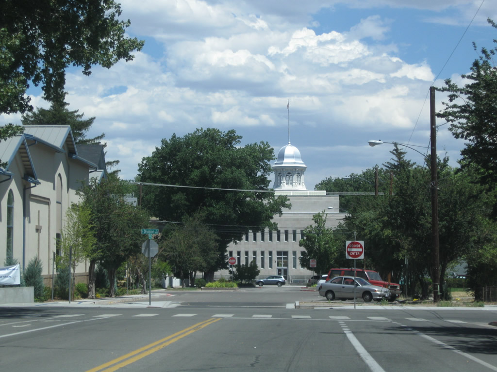
Three blocks west of the state capital complex, former SR 512 (West King Street) turned south along Division Street for a four city block run to West 5th Street.
07/19/09
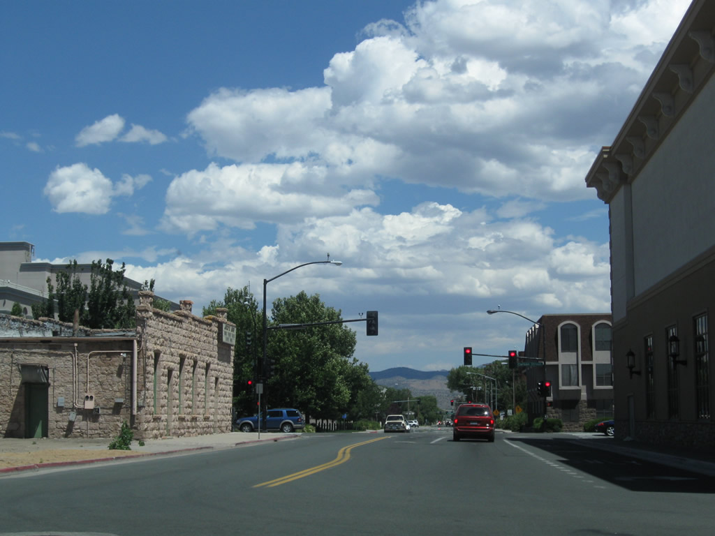
West 5th Street previously carried SR 512 east from Division Street three blocks to an end at Carson Street.
07/19/09
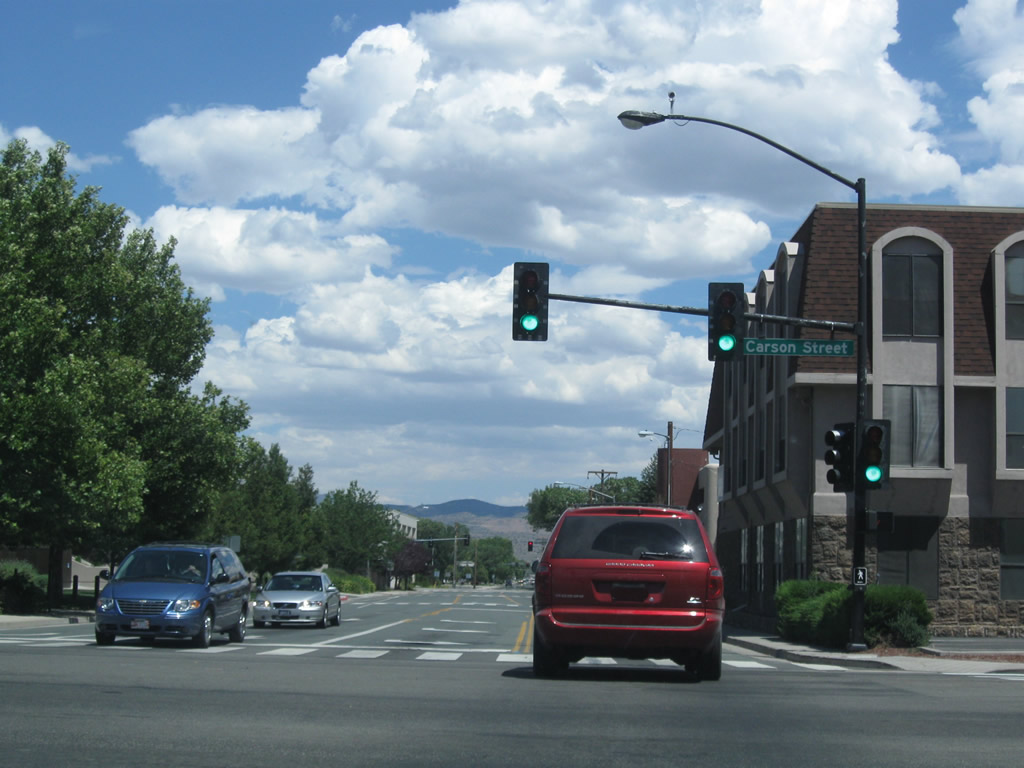
Historic end of SR 512 east at Carson Street in downtown. Carson Street represents the former alignment of U.S. 395 prior to the opening of the Carson City Bypass (I-580).
SR 513 previously continued east from this intersection on a 2.2 mile long course to Fairview Drive. The state route was removed by 2011.
07/19/09
References:
- State Maintained Highways of Nevada Descriptions and Maps - January 2010, Nevada Department of Transportation
- Nevada State Route 512, Wikipedia
Photo Credits:
- Andy Field: 07/19/09
Page Updated Monday July 02, 2018.