
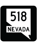
State Route 518 - Snyder Avenue
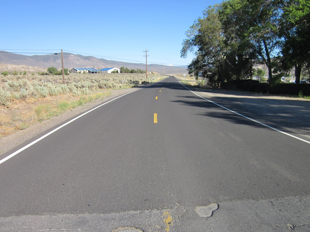
Nevada State Route 518 is a collector applied to a 1.104 mile segment of Snyder Avenue angling southeast from U.S. 395 Business (South Carson Street) in Carson City to the State of Nevada Stewart Facility. Snyder Avenue extends east from the state maintained section to a number of residential streets.
 East
East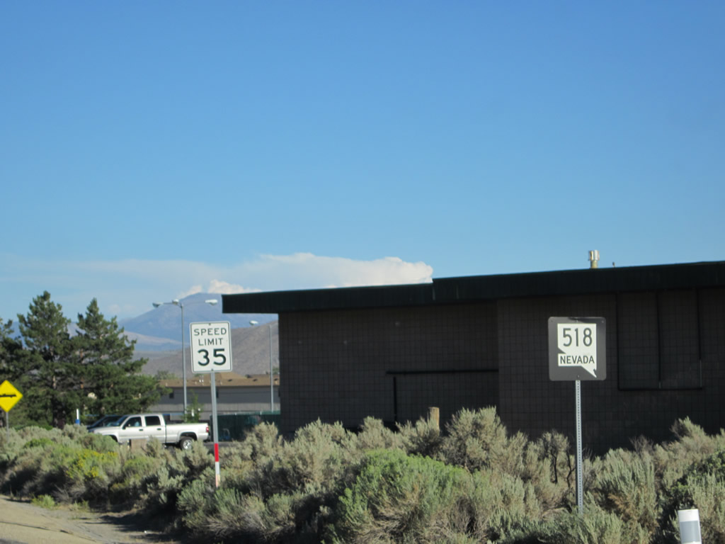
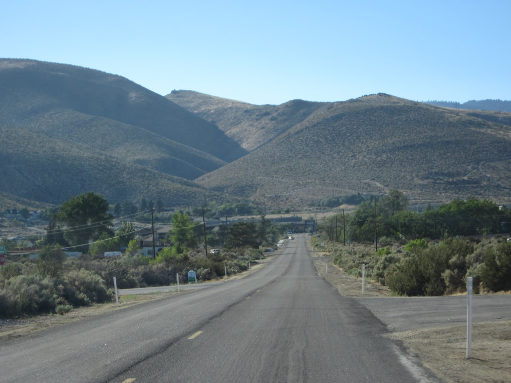
A confirming marker for SR 518 east stands just beyond the Snyder Avenue intersection with the east side frontage road of U.S. 395 Business (South Carson Street).
07/31/12
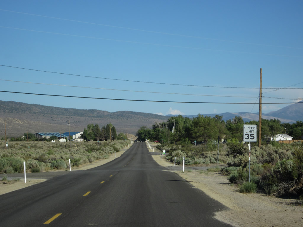
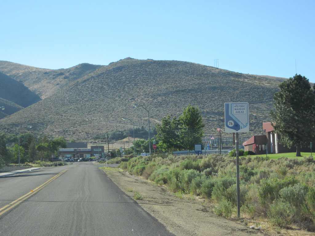
Snyder Avenue proceeds past a fire station and two historical markers en route to the Stewart Facility. Historic Marker #76 for Eagle Valley is located on the north side of SR 518.
07/31/12
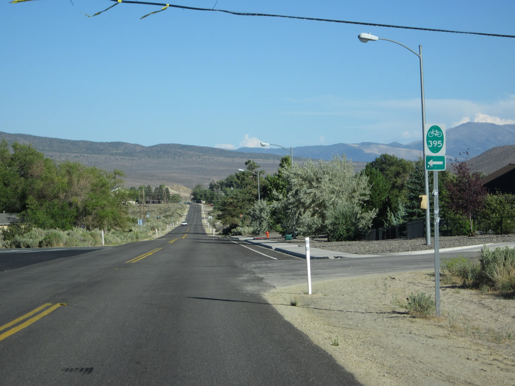
Bike Route 395 turns north onto Oak Street from SR 518 (Snyder Avenue) eastbound.
07/31/12
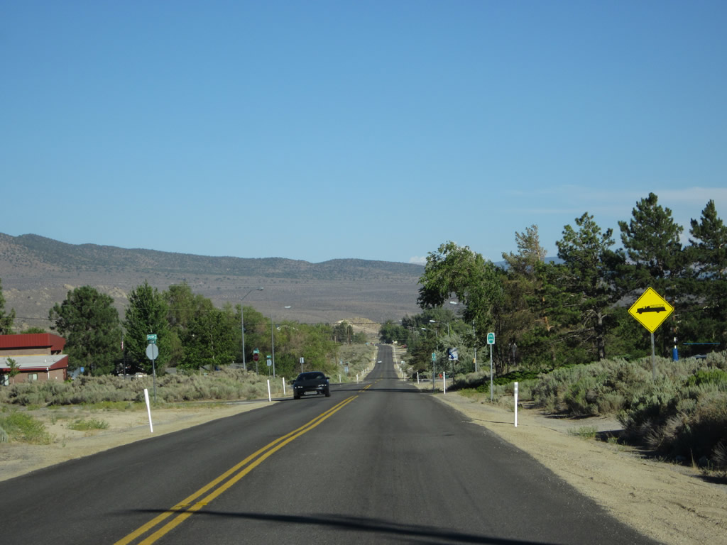
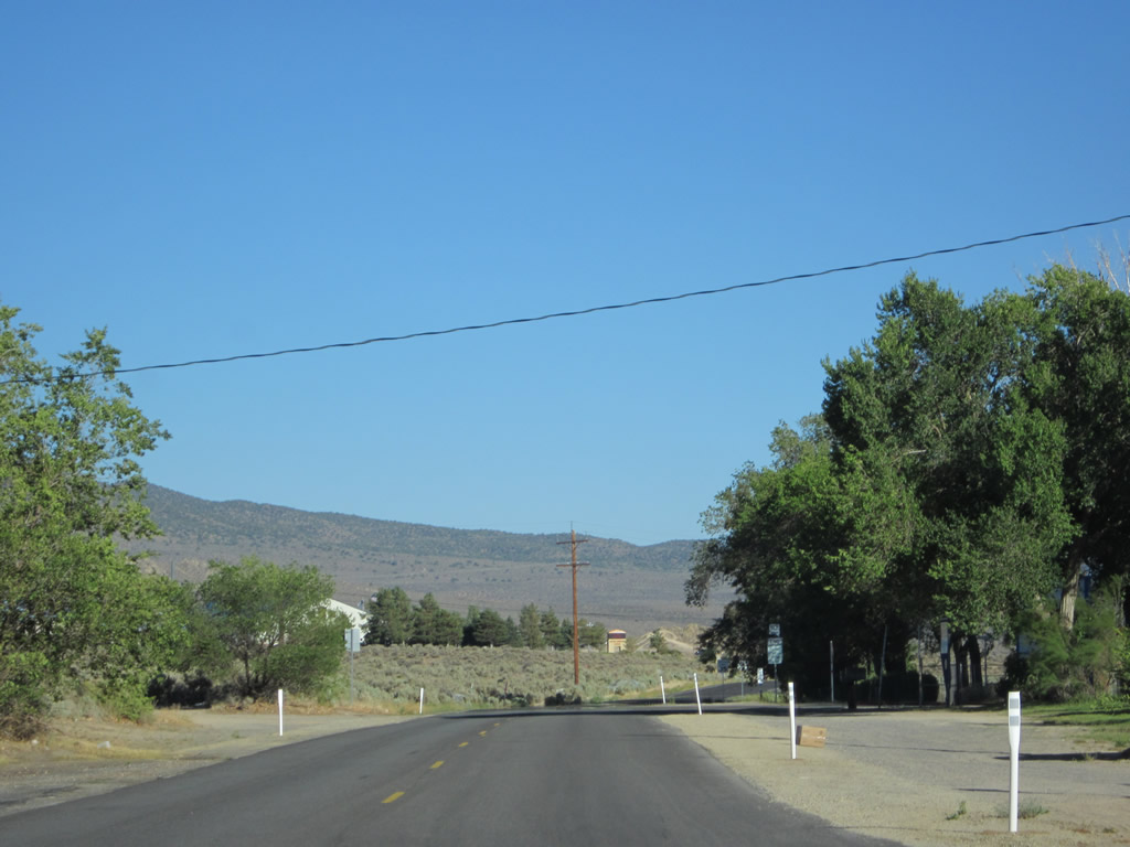
This scene along Snyder Avenue east at Silver Sage Drive changed with construction of Interstate 580. Phase 2B-2 of the Carson City Freeway built an overpass for SR 518 here across the new freeway between early 2013 and Summer 2014.
07/31/12
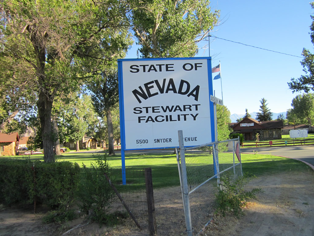
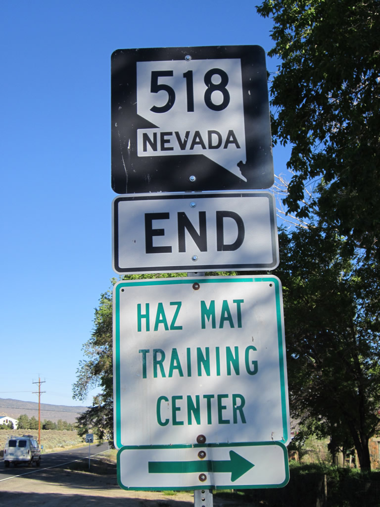
Eastbound SR 518 (Snyder Avenue) reaches Jacobsen Way, the entrance road for the Stewart Facility. Several Nevada state offices and a training complex are located within the facility.
07/31/12
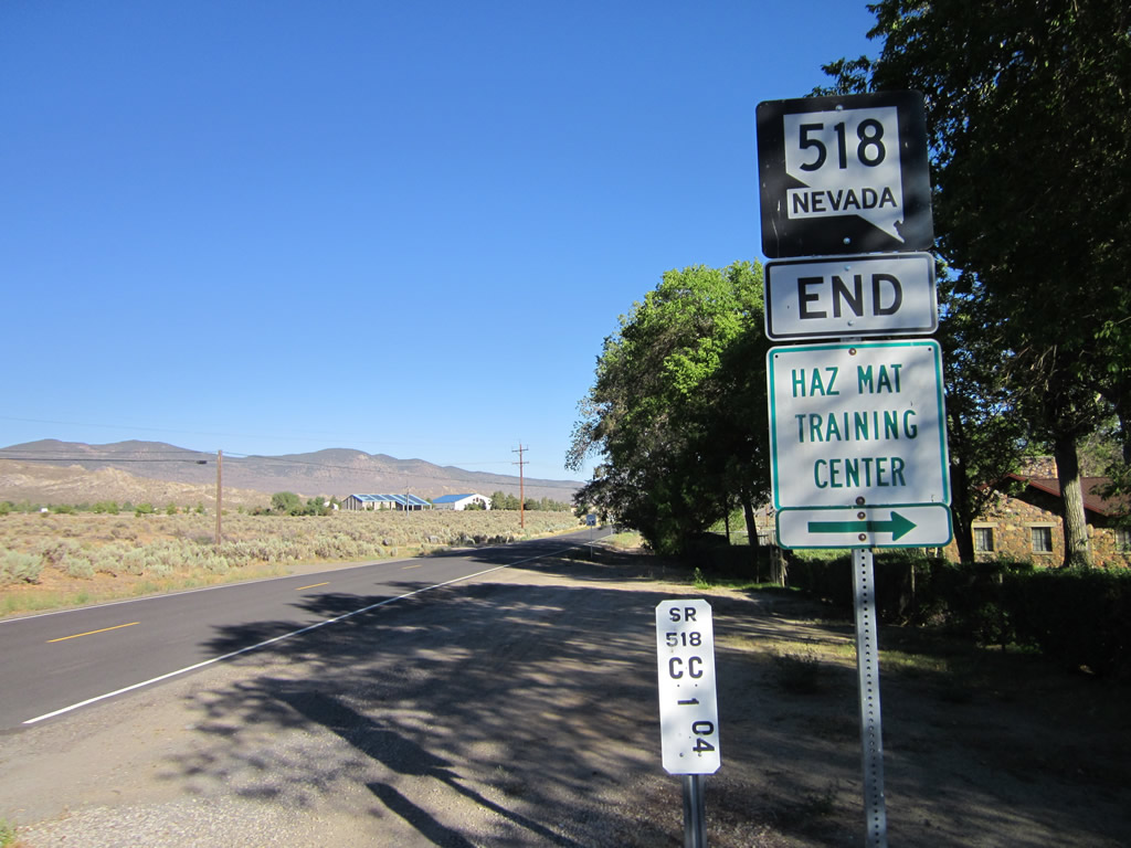
An end shield for SR 518 appears just beyond Jacobson Way along Snyder Avenue east.
07/31/12
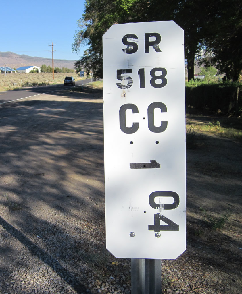
The last milepost for SR 518 accompanies the end marker. State Route 518 officially concludes 459 feet east of Jacobson Way.
07/31/12
Bigelow Drive branches south from the adjacent intersection along Snyder Avenue to suburban development south of Clear Creek. Snyder Avenue turns south from Gentry Lane to run between Prison Hill and the Northern Nevada Correctional Center in 0.9 miles.
07/31/12
West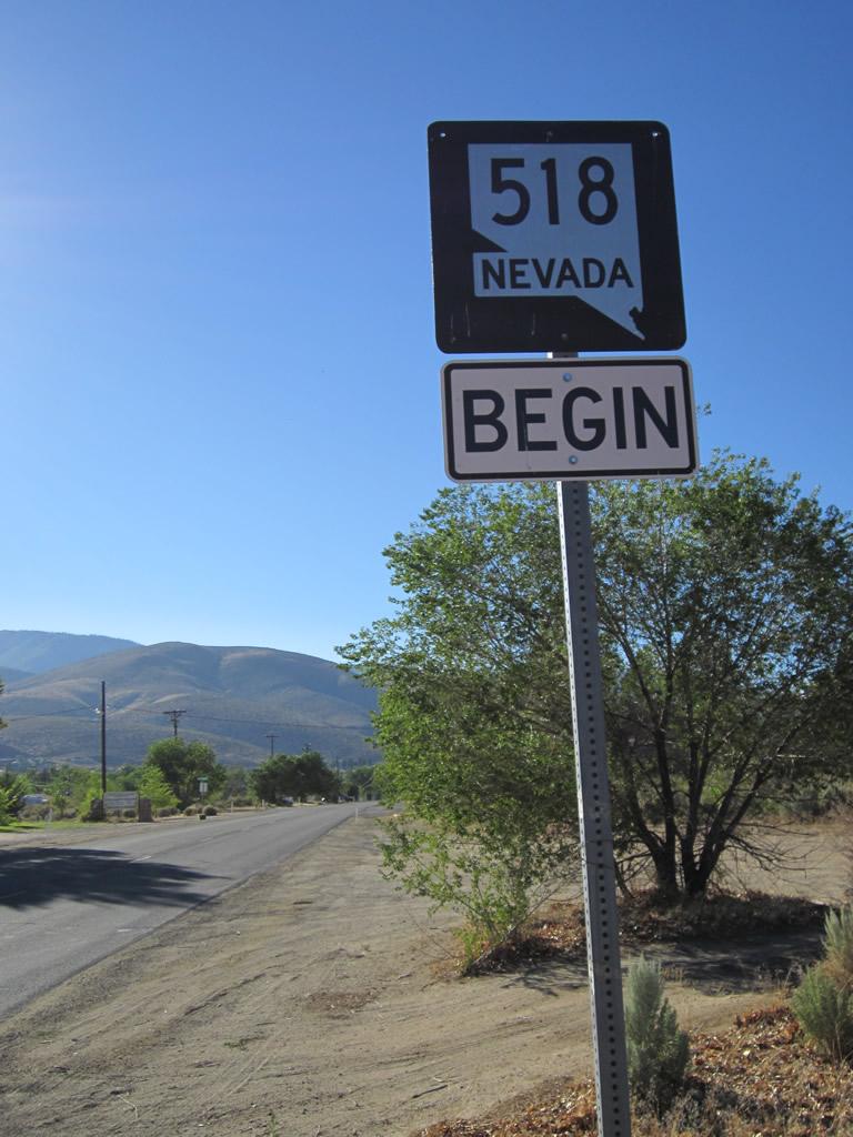
Snyder Avenue becomes SR 518 west of Bigelow Drive and the Stewart Facility.
07/31/12
SR 518 (Snyder Avenue) bee lines northwest to U.S. 395 Business (South Carson Street). An overpass, completed by summer 2014, takes the state route across I-580 & U.S. 50-395 on the initial stretch.
07/31/12
Historic Marker #76 for Eagle Valley stands along the north side of Snyder Avenue ahead of Ross Gold Park.
07/31/12
Bike Route 395 overlays Snyder Avenue west from Oak Street to U.S. 395 Business (South Carson Street) south.
07/31/12
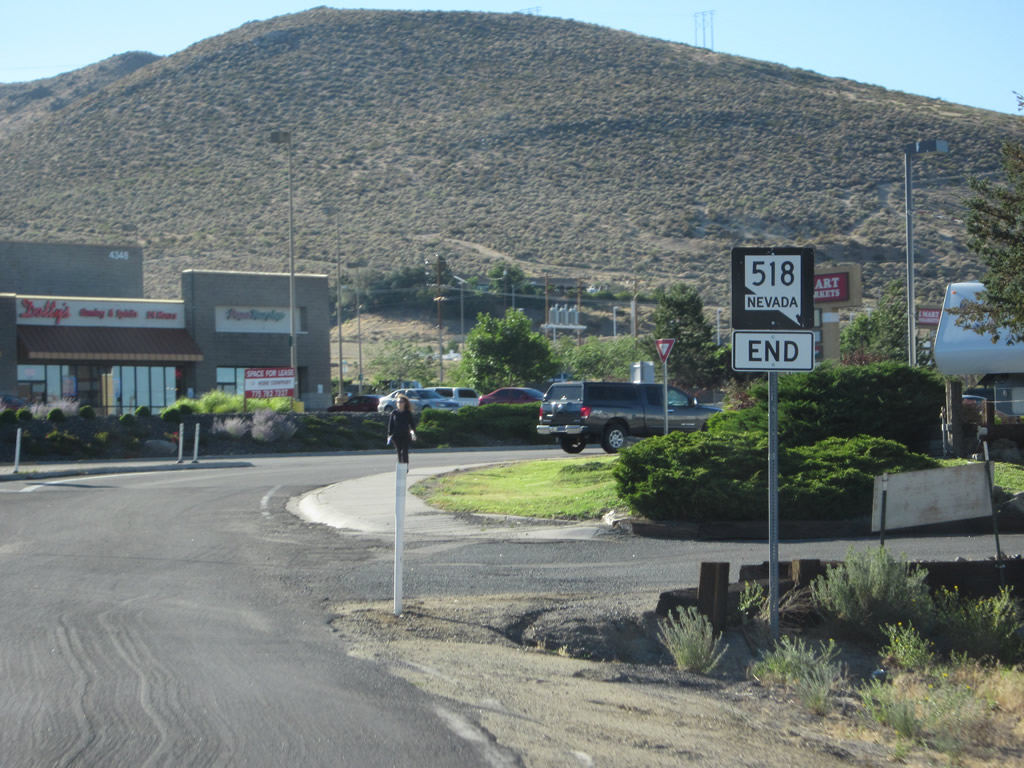
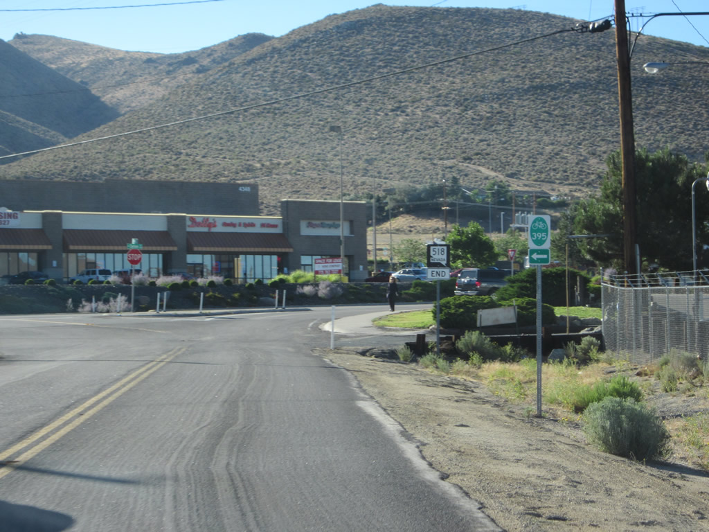
SR 518 concludes at a six lane commercial stretch of South Carson Street. U.S. 395 Business leads south to I-580, U.S. 50 and U.S. 395 and north to Downtown Carson City.
07/31/12
Photo Credits:
- Andy Field: 07/31/12
Connect with:
Page Updated Wednesday July 19, 2017.