
State Route 573 - Craig Road

Nevada State Route 573 overlays two segments of Craig Road across the north side of the Las Vegas metropolitan area. Measuring 2.268 miles, the western section connects I-11/U.S. 95 (Oran K. Gragson Freeway) in Las Vegas with SR 599 (Rancho Road) and Decatur Road at the North Las Vegas city line. The 3.091 mile long eastern segment originates at Frehner Road, just west of I-15 in North Las Vegas, and extends east to SR 610 (Lamb Boulevard) and SR 604 (Las Vegas Boulevard) near Nellis Air Force Base.

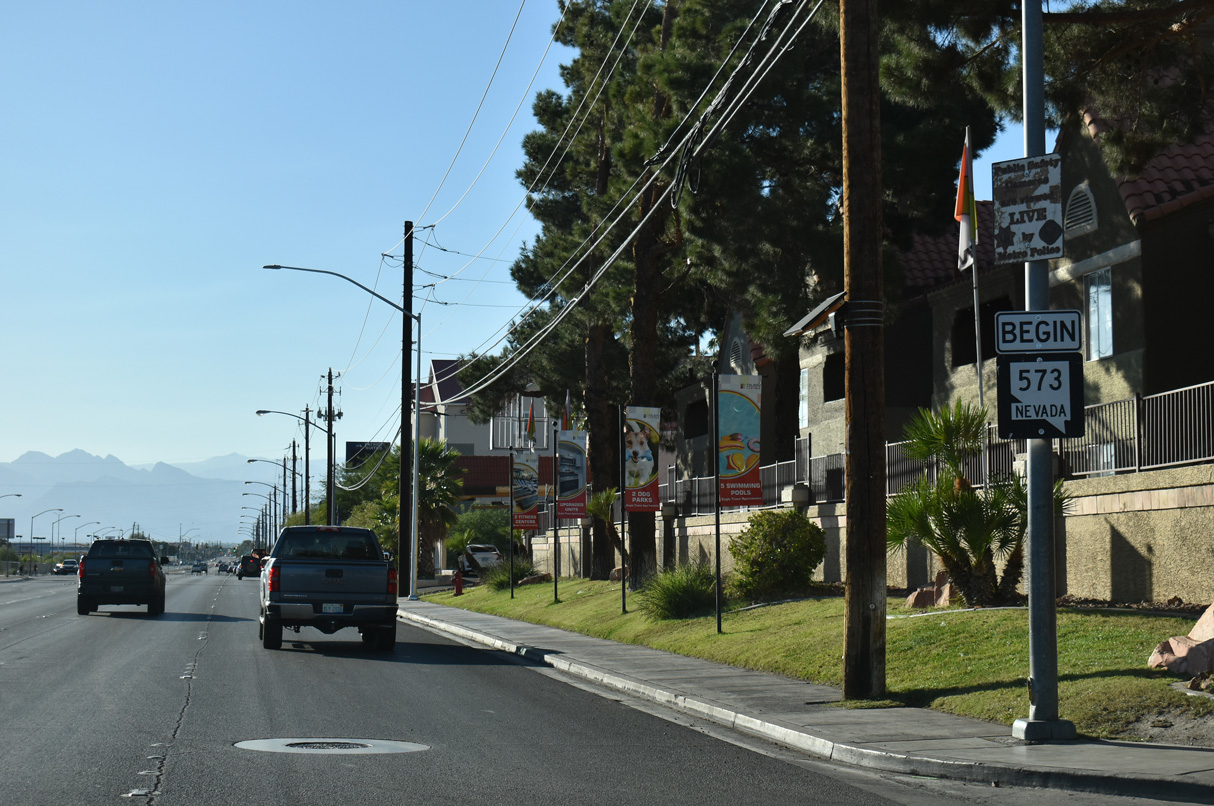
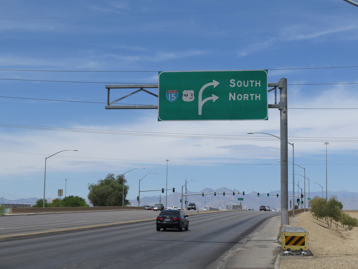
The western section of SR 573 commences along Craig Road at the diamond interchange (Exit 85) with I-11/U.S. 95 (Oran K. Gragson Freeway).
10/23/25

Interstate 11 overlaps with U.S. 95 north near Boulder to SR 157 (Kyle Canyon Road) in northwest Las Vegas.
10/23/25
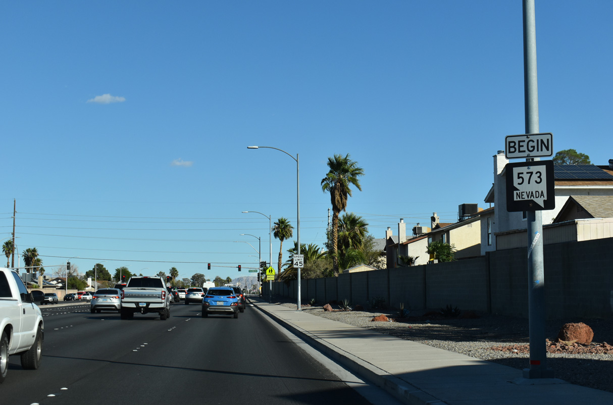
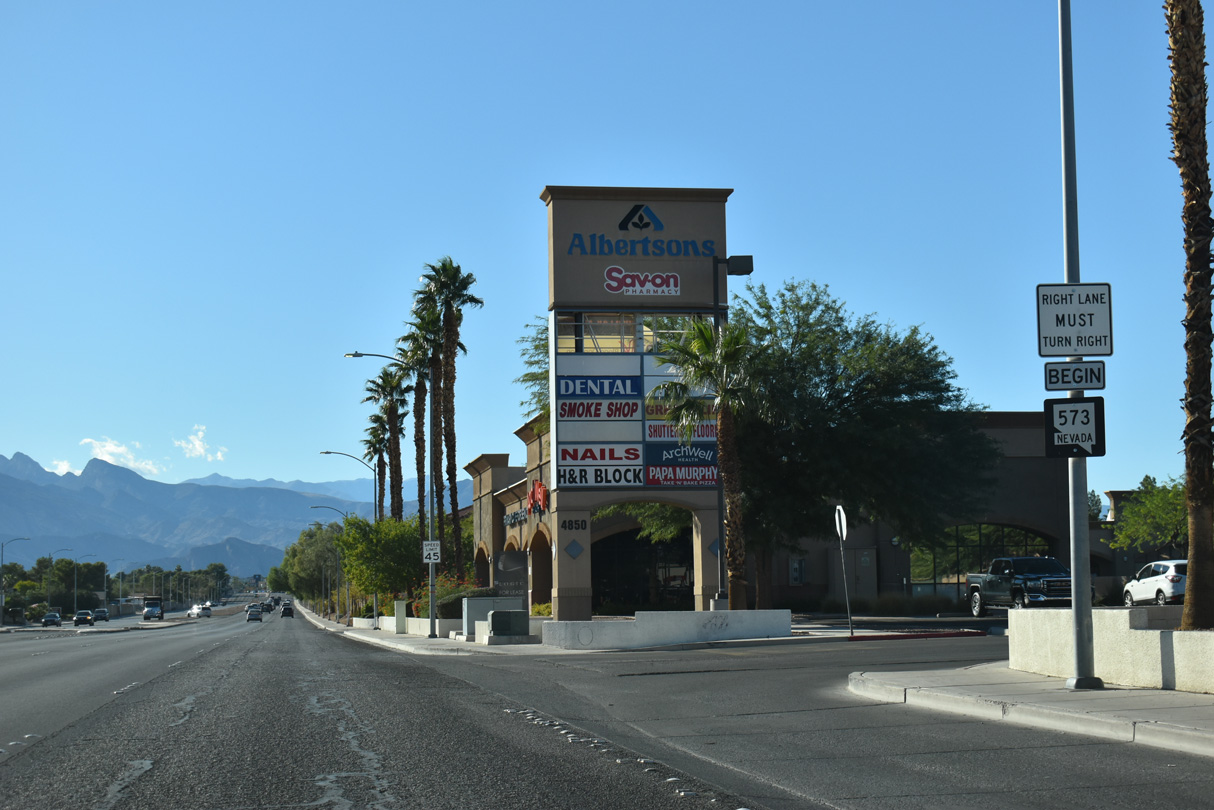
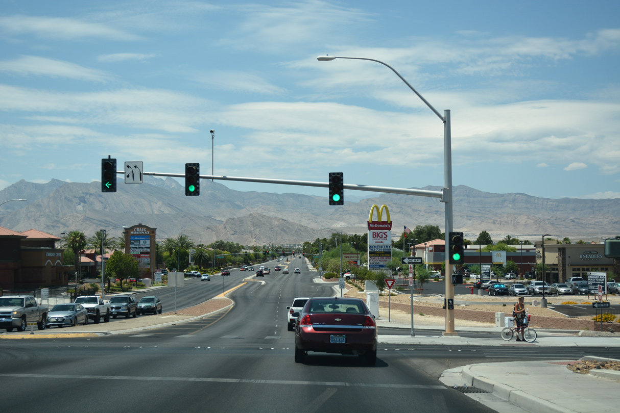
A begin shield for SR 573 appears along Craig Road beyond I-11/U.S. 95. The state route proceeds east along a six lane arterial to Rancho Drive (SR 599).
10/23/25
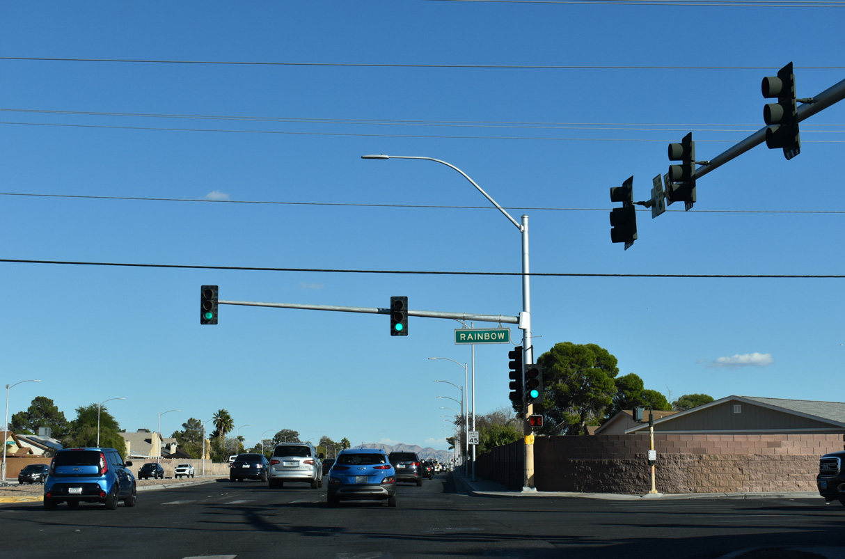
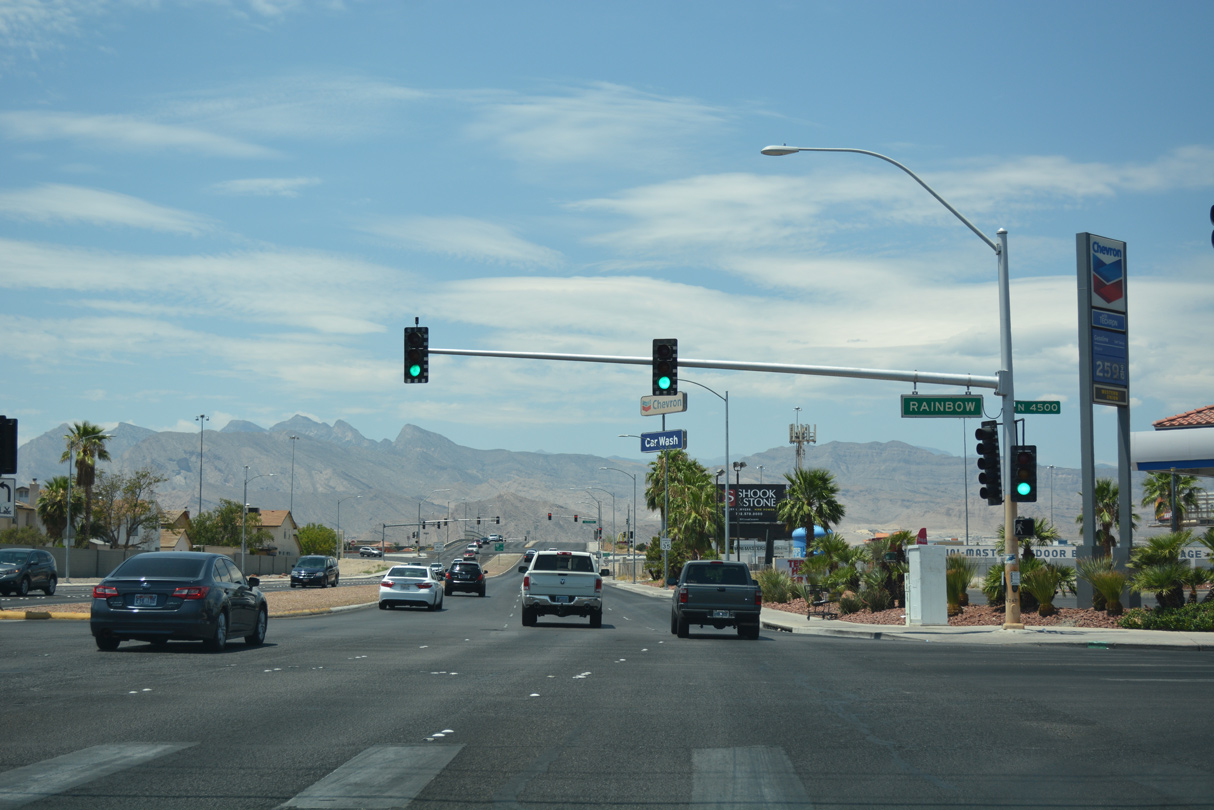
Rainbow Boulevard stems south from Lone Mountain Road to meet I-11/U.S. 95 and Summerlin Parkway (SR 613) at the Rainbow Curve exchange en route to Spring Valley. Locally, Rainbow Boulevard joins Craig Road with the Bedford Village West and Jade Park neighborhoods.
10/23/25
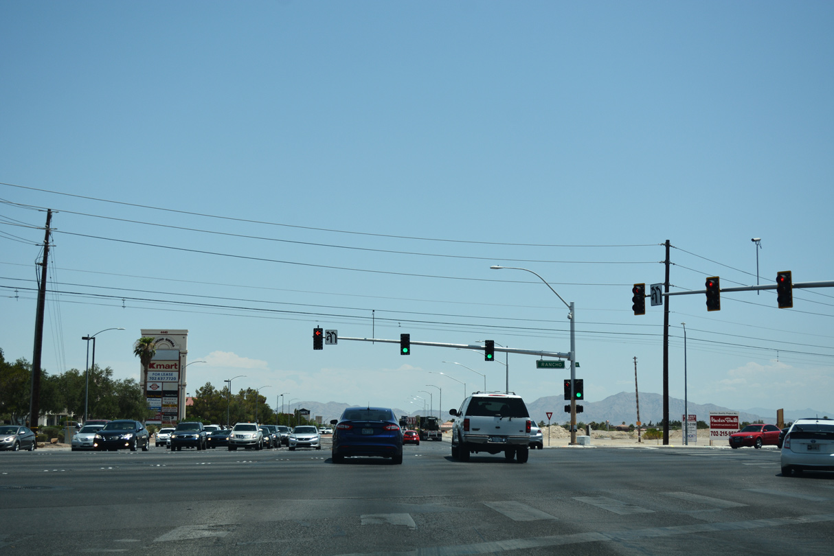
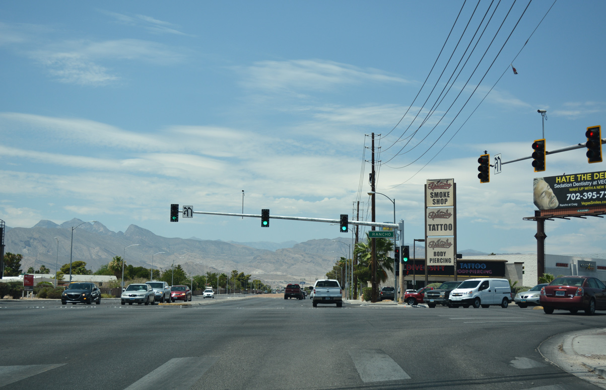
SR 573 (Craig Road) east meets SR 599 (Rancho Drive) at a signalized intersection by the Rancho Sierra shopping center. SR 599 overlays Rancho Drive for 6.78 miles from Mesquite Avenue to I-11/U.S. 95 north beyond Rainbow Boulevard.
10/23/25
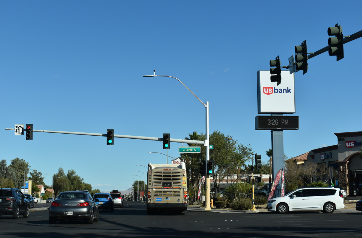
The northern section of Jones Boulevard intersects Craig Road 0.4 miles north of Rancho Drive (SR 599) at Alexander Road.
10/23/25

The succeeding traffic light on Craig Road east is at Ivory Circle south and Camino Del Oro north into the Rancho Alta Mira development.
10/23/25
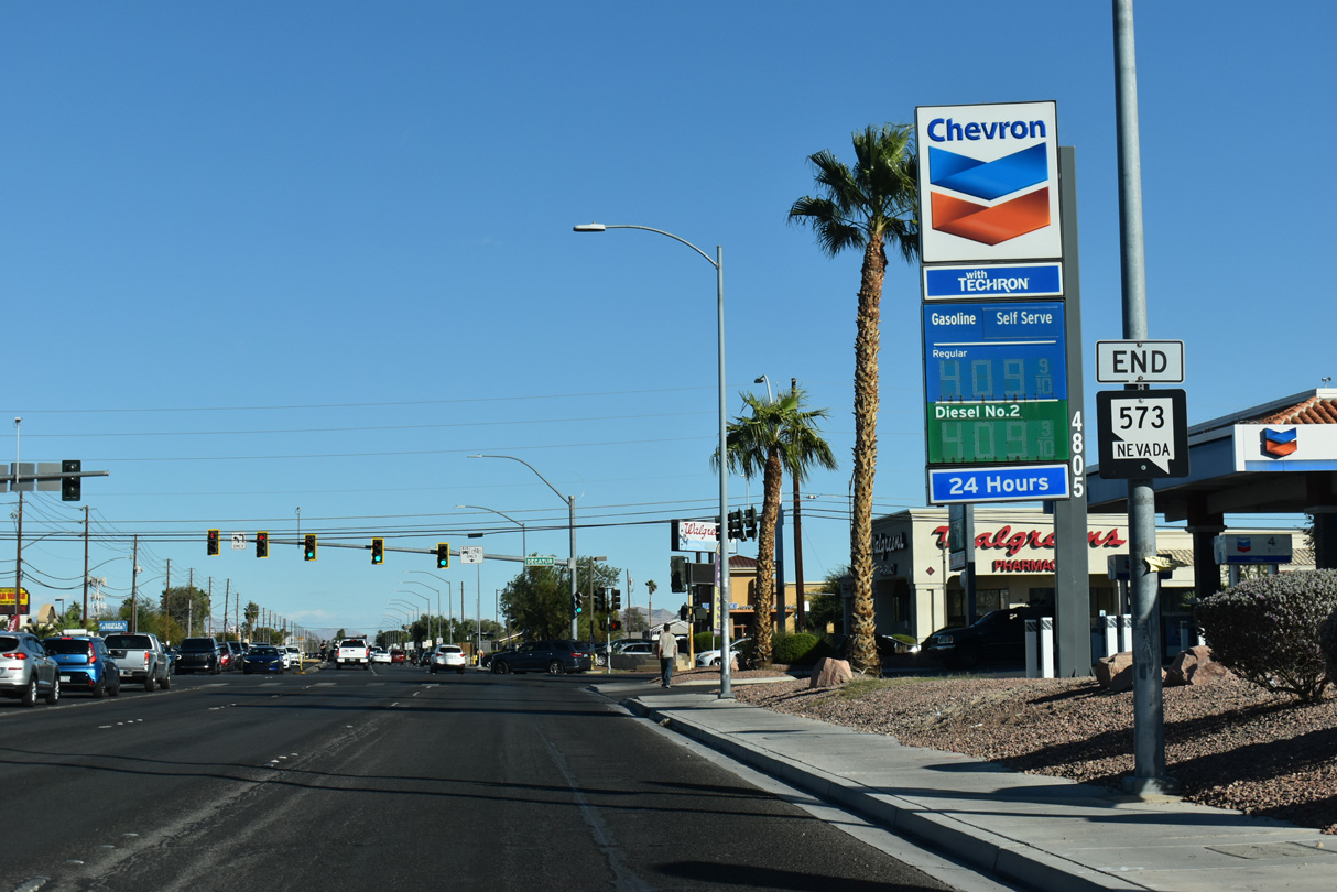
SR 573 concludes 1.4 miles east of SR 599 (Rancho Drive) at Decatur Boulevard and the North Las Vegas city line.
10/23/25
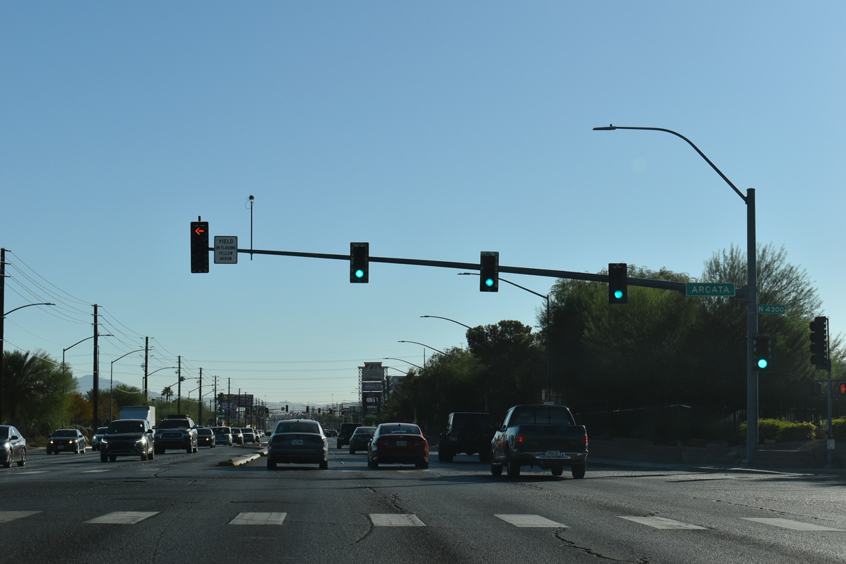
Arcata Way heads south from Craig Road at Bruce Street to an industrial area populated by warehouses and distribution centers.
10/24/25
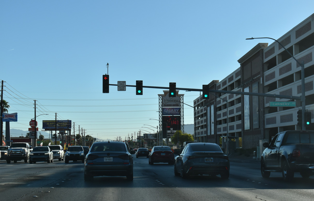
The succeeding traffic light on Craig Road east of Arcata Way operates at the Cannery Road to Cannery Casino & Hotel and Lawrence Street north.
10/24/25

Losee Road intersects Craig Road adjacent to big box stores and other retail.
10/24/25
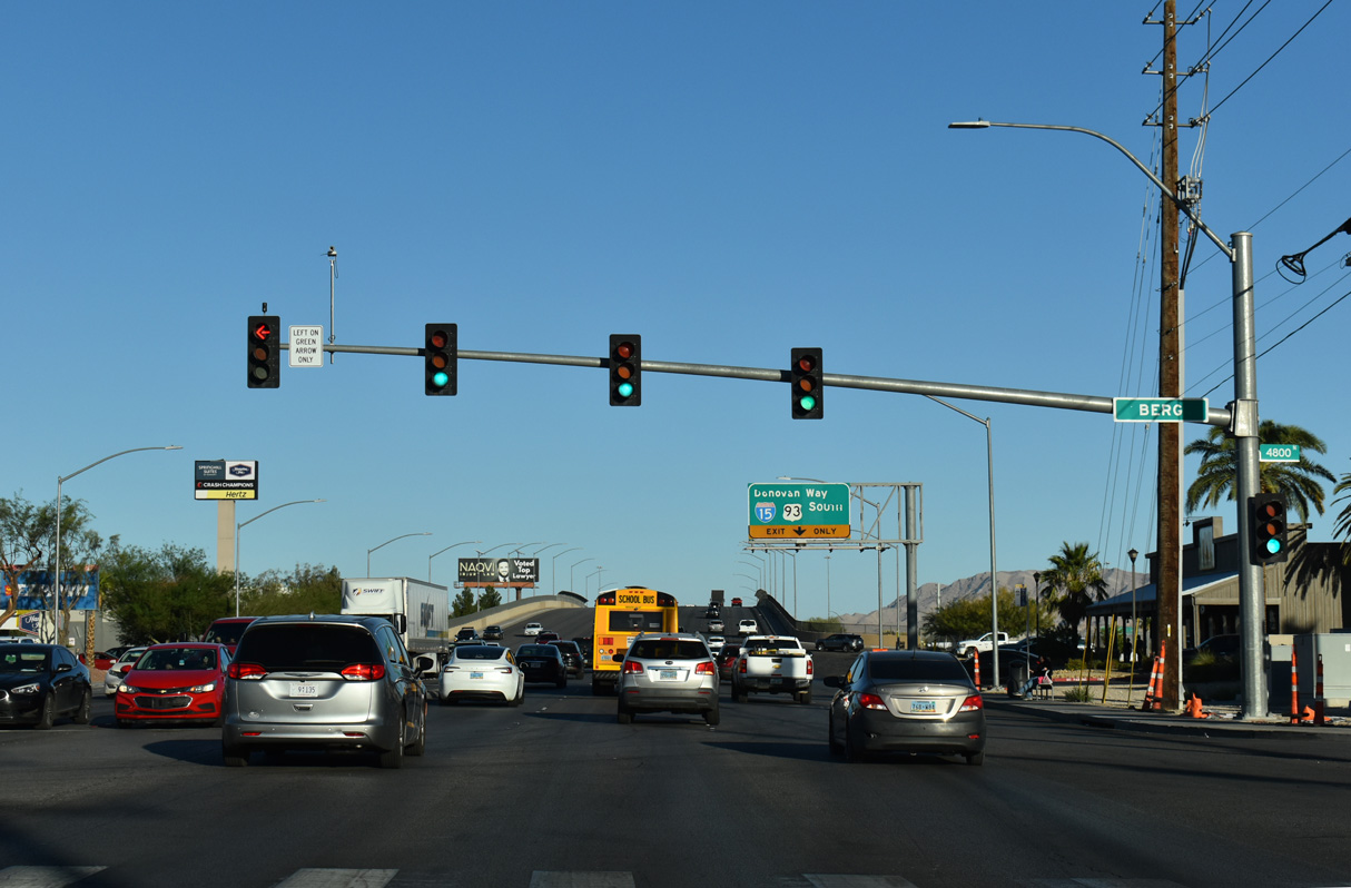
Craig Road spans Upper Las Vegas Wash east leading into the intersection with Berg Street.
10/20/25
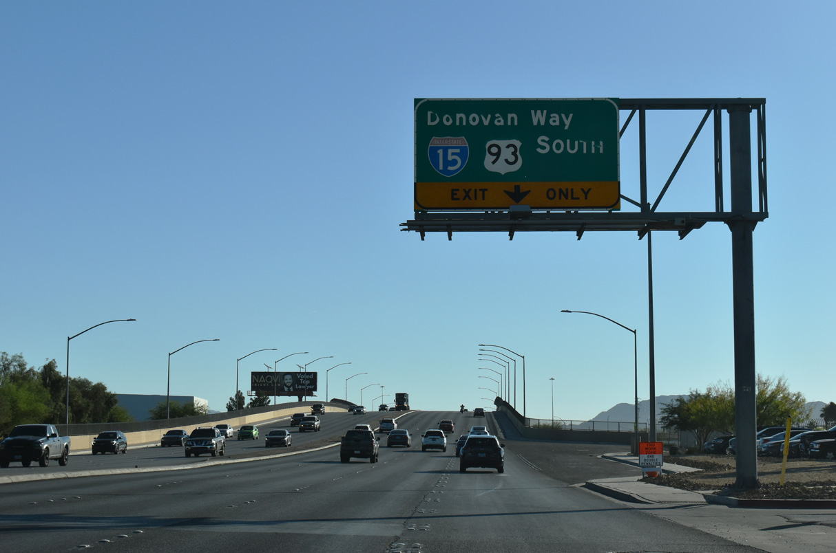
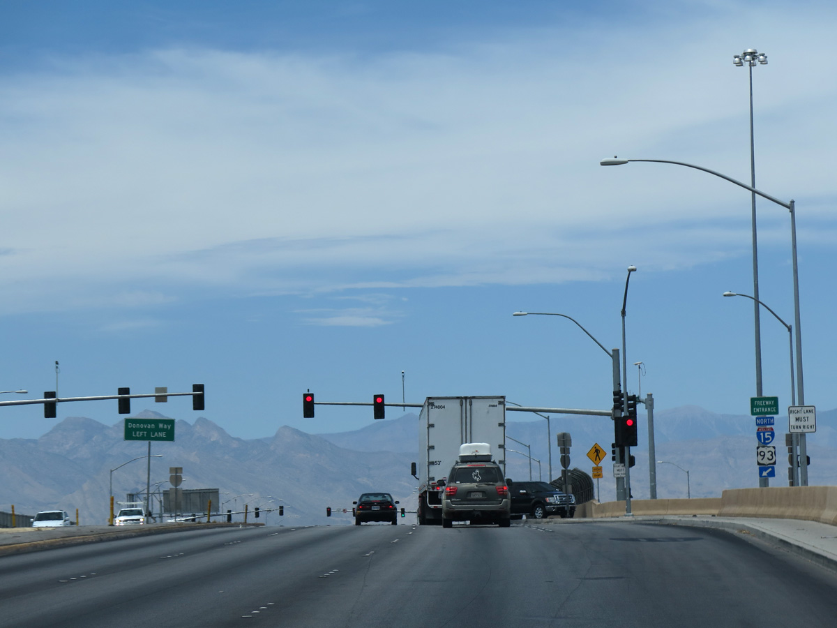
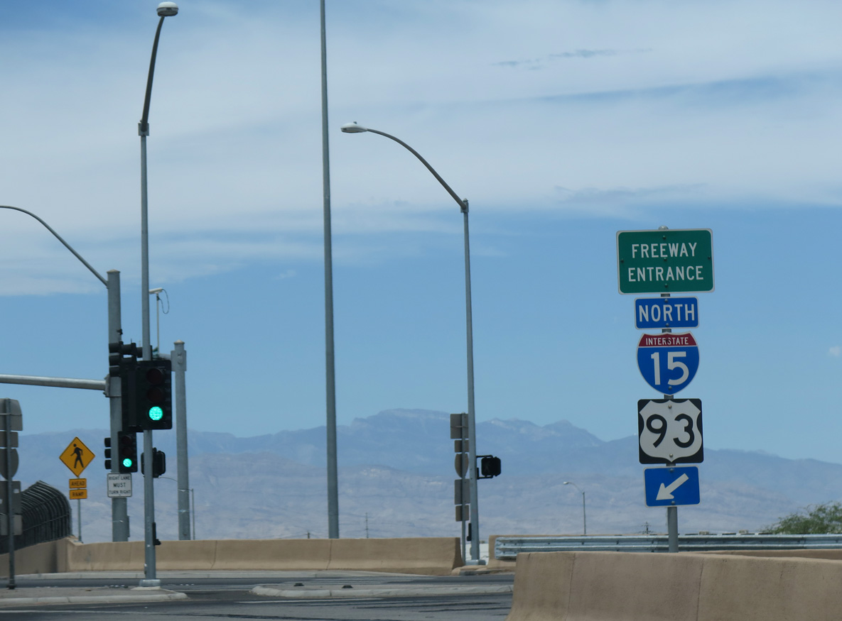
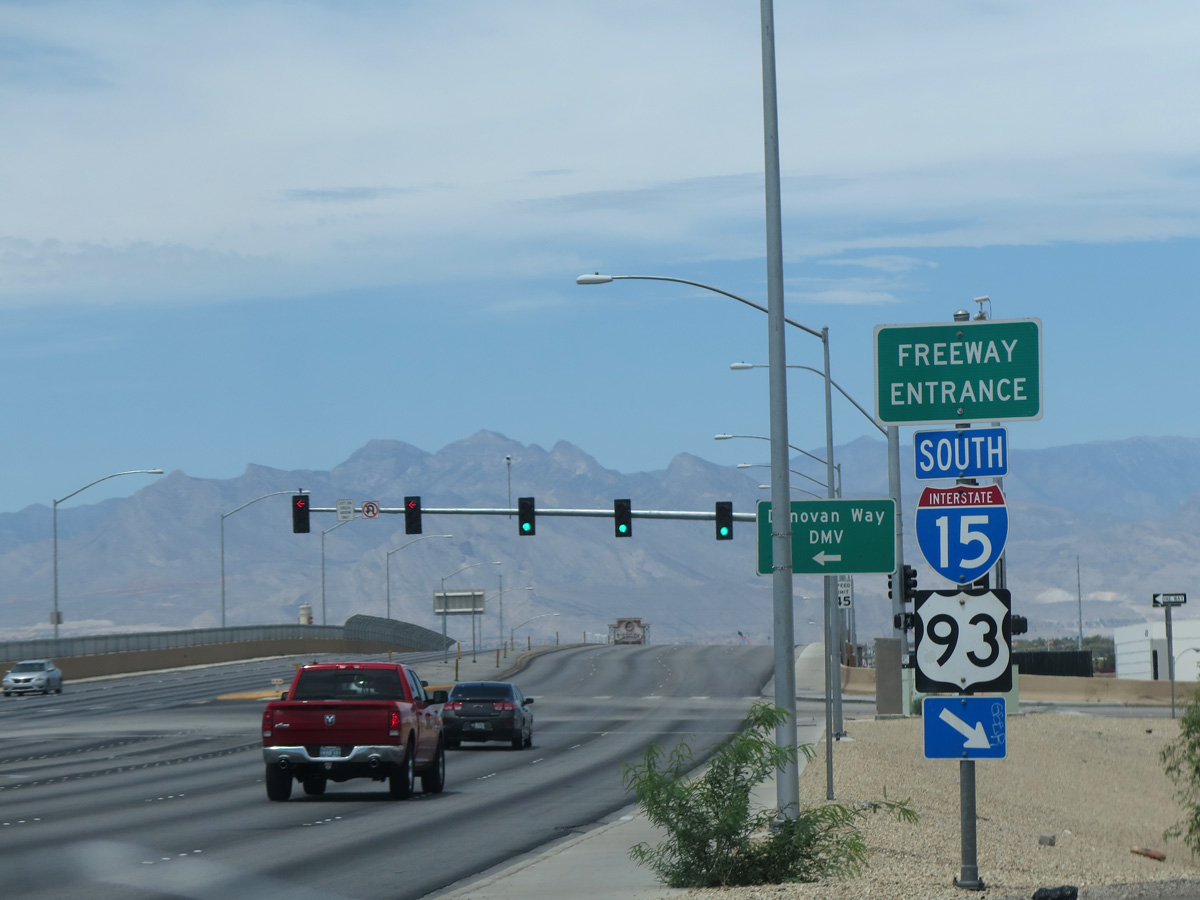
SR 573 resumes along Craig Road 0.15 miles east of Berg Street. The elevated roadway spans a Union Pacific Railroad and Donovan Way ahead of the parclo interchange with I-15/U.S. 93.
10/24/25
10/20/25
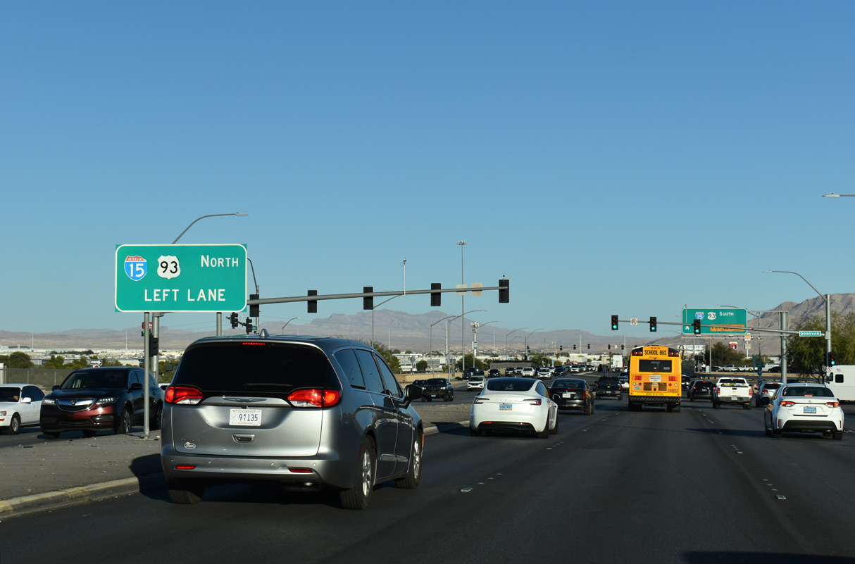
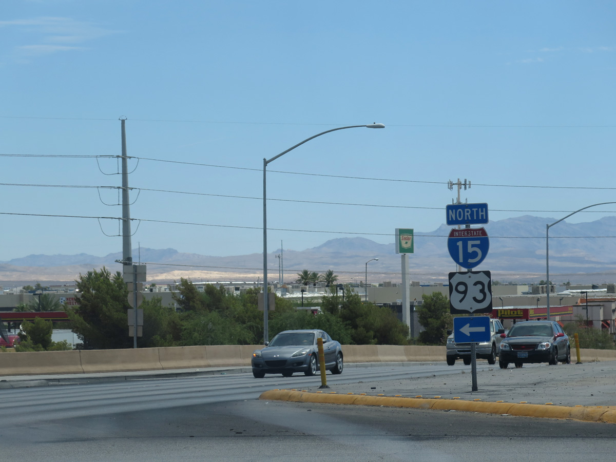
Dual turn lanes link SR 573 (Craig Road) east with I-15/U.S. 93 north to Mesquite and Caliente respectively.
10/20/25
Donovan Way parallels the Union Pacific Railroad northeast by distribution centers and other industrial businesses to Tropical Parkway.
10/24/25
SR 573 (Craig Road) east at the southbound entrance ramp for I-15/U.S. 93 to Downtown Las Vegas.
10/20/25
10/24/25

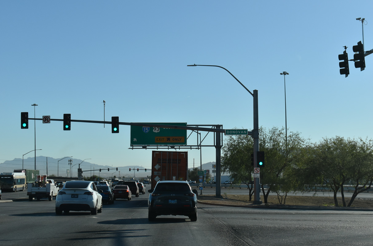
Crossing over the freeway, SR 573 intersects the northbound on-ramp for I-15/U.S. 93 to Salt Lake City, Utah and Ely.
10/20/25
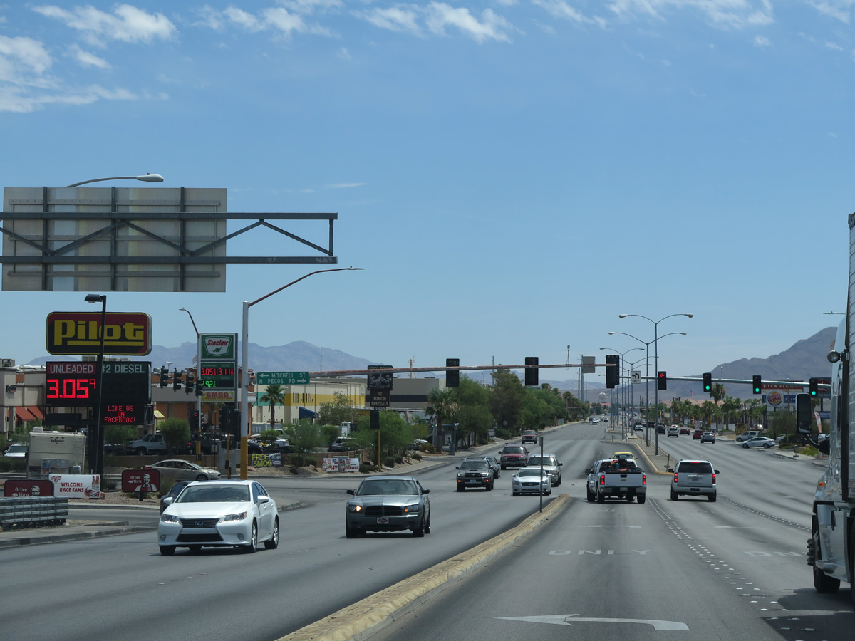
Pecos Road north and Mitchell Street south come together at SR 573 (Craig Road) by an array of business and industrial parks just east of Interstate 15.
10/20/25
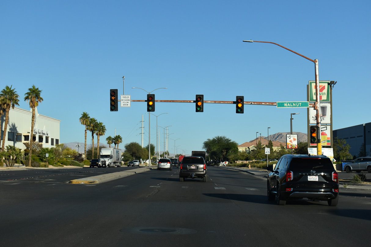
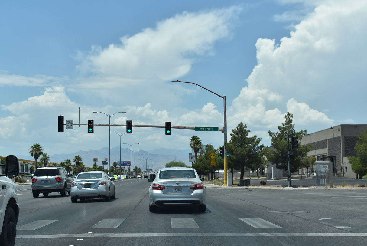
Walnut Road angles southeast from Mitchell Street through an industrial area to SR 573. South from Craig Road, Walnut Road is a residential boulevard.
10/20/25
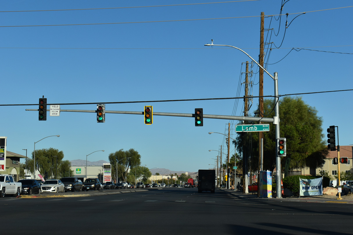
Lamb Boulevard extends north from Desert Inn Road at Paradise through Las Vegas and North Las Vegas.
10/20/25
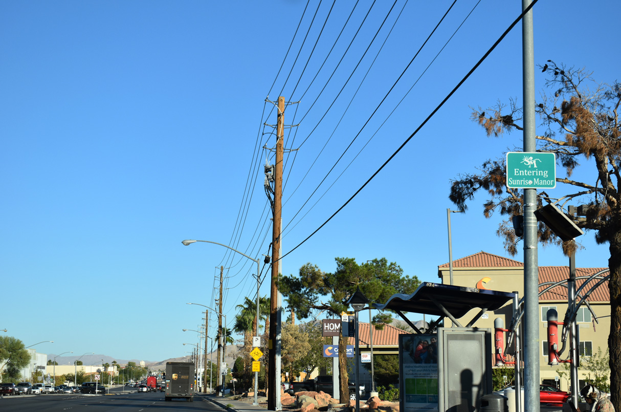
Craig Road leaves the city of North Las Vegas at Lamb Boulevard and proceeds east into the unincorporated community of Sunrise Manor.
10/20/25
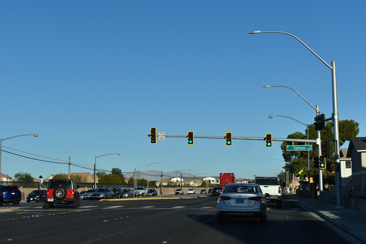
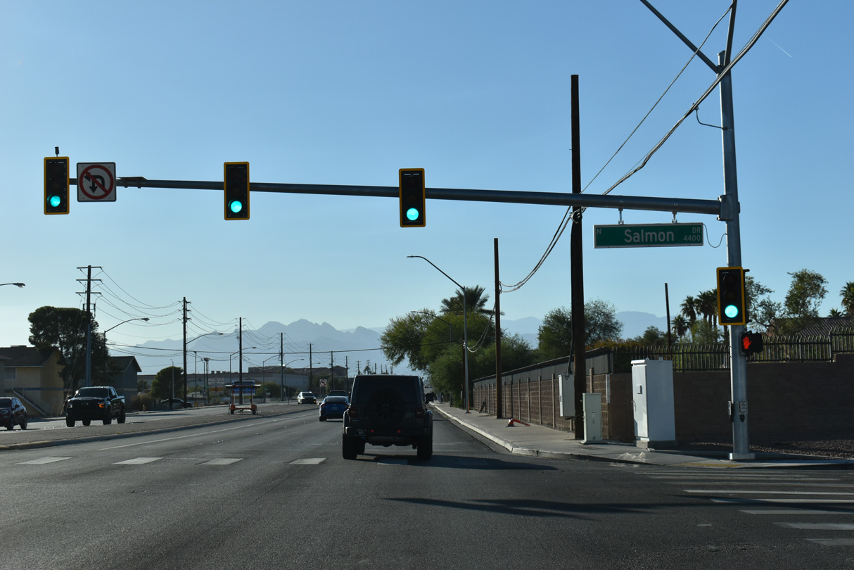
Salmon Drive intersects Craig Road south from the entrance to Nellis Family Housing, residences for Nellis AFB.
10/20/25
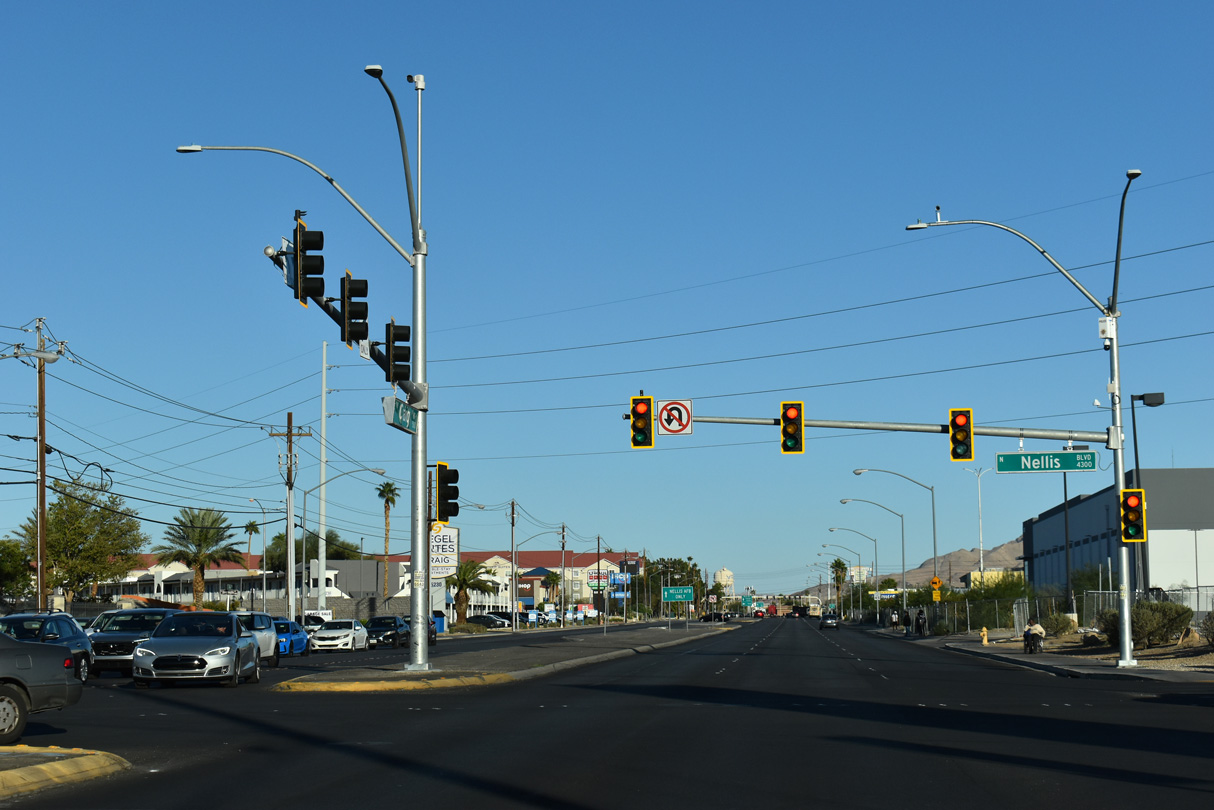
The north end of Nellis Boulevard ties into SR 573 (Craig Road). Nellis Boulevard south from SR 604 (Las Vegas Boulevard) to SR 593 (Tropicana Road) is SR 612.
10/20/25
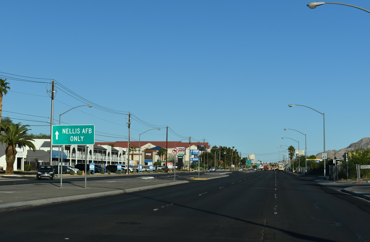
Craig Road continues 0.4 miles east from Nellis Boulevard to Las Vegas Boulevard across from the entrance to Nellis Air Force Base.
10/20/25
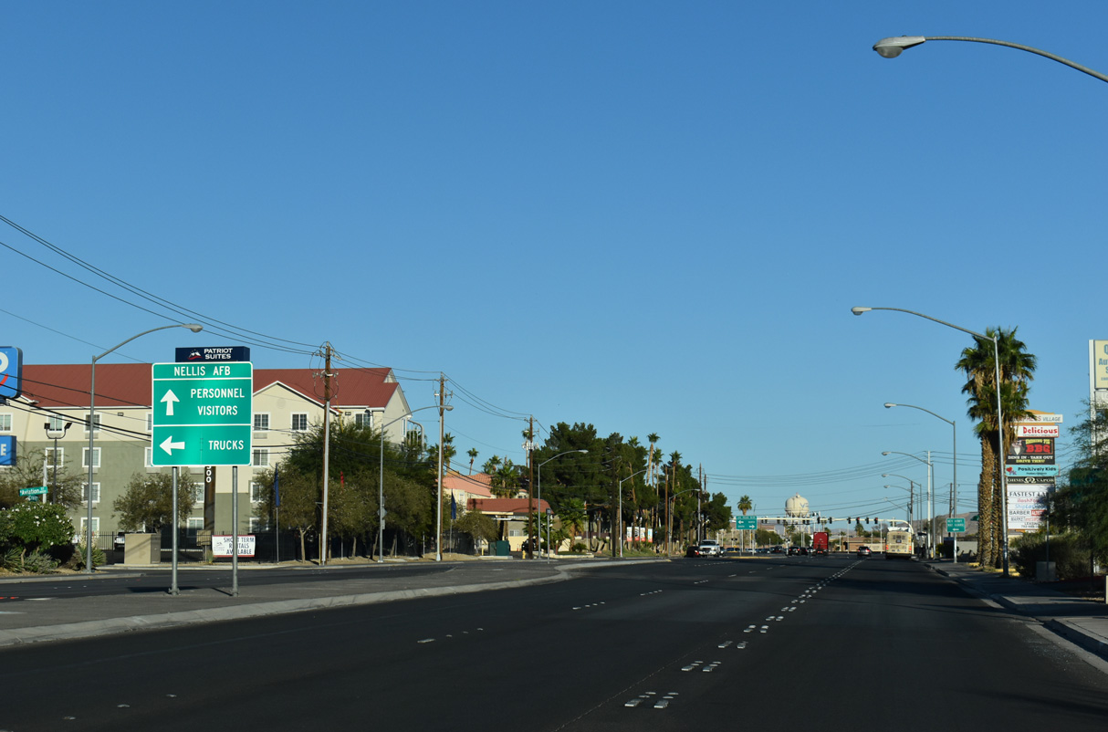
The gate along Fitzgerald Boulevard east from Craig Road at Las Vegas Boulevard (SR 604) is the main entrance into Nellis AFB.
10/20/25

Las Vegas Boulevard through North Las Vegas and Sunrise Manor is SR 604 and the historic route of U.S. 91/93.
10/20/25

The lone shield for SR 573 eastbound along the eastern section on Craig Road is the end assembly at Las Vegas Boulevard (SR 604).
10/20/25
A begin shield is posted for SR 573 west of SR 604 (Las Vegas Boulevard).
10/20/25

Nellis Boulevard stems south from the first traffic light on SR 573 (Craig Road) west.
10/20/25
Craig Road continues west to Salmon Drive at the Nellis Family Housing complex.
10/20/25
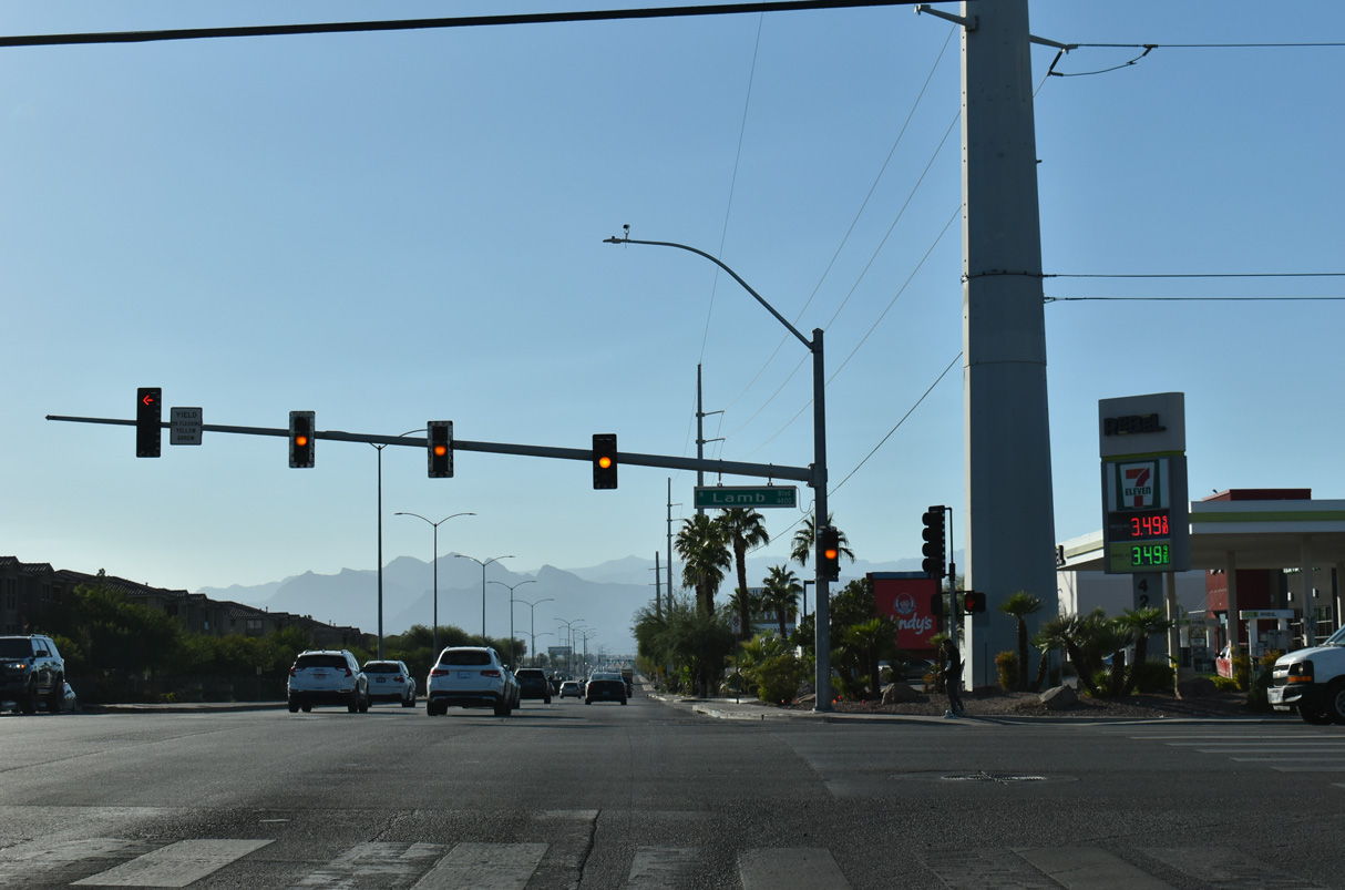
Lamb Boulevard is SR 610 south to SR 604 (Las Vegas Boulevard) and north to I-15/U.S. 93 at Exit 50.
10/20/25
The succeeding traffic light west of SR 610 (Lamb Boulevard) along SR 573 (Craig Road) is at Walnut Road.
07/14/18
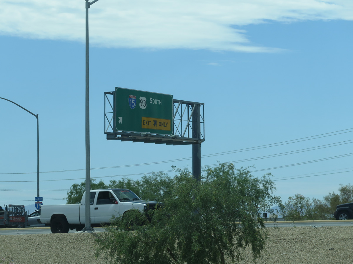
SR 573 (Craig Road) meets I-15/U.S. 93 at a parclo interchange just west of Pecos Road.
07/14/18
Freeway entrance assembly for the northbound on-ramp to I-15 for St. George and Salt Lake City, Utah and U.S. 93 north to Ely.
07/12/15
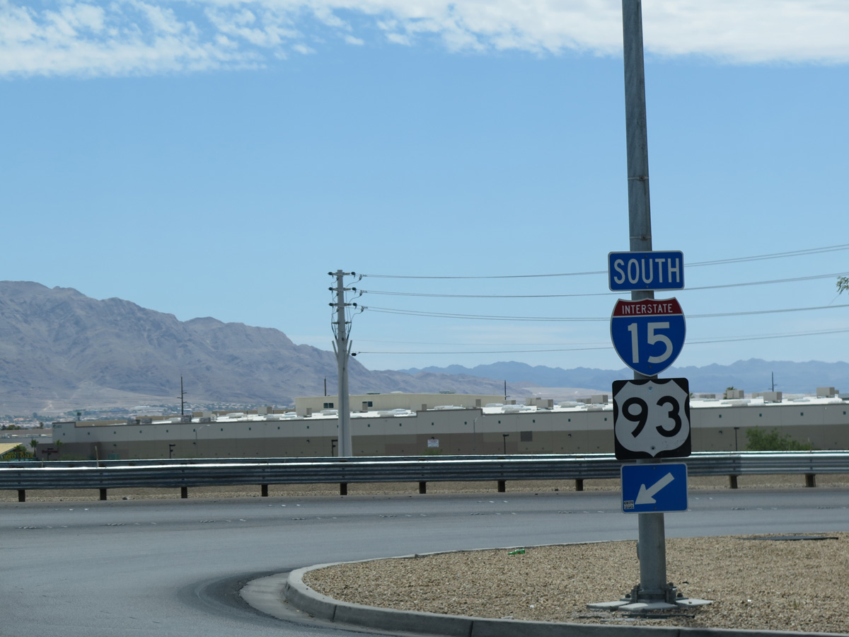
A two lane loop ramp lowers from Craig Road west to I-15/U.S. 93 south into Las Vegas.
07/12/15
I-15/U.S. 93 angle southwest 5.5 miles from SR 573 (Craig Road) to separate at the Spaghetti Bowl interchange with I-11/U.S. 95.
07/12/15
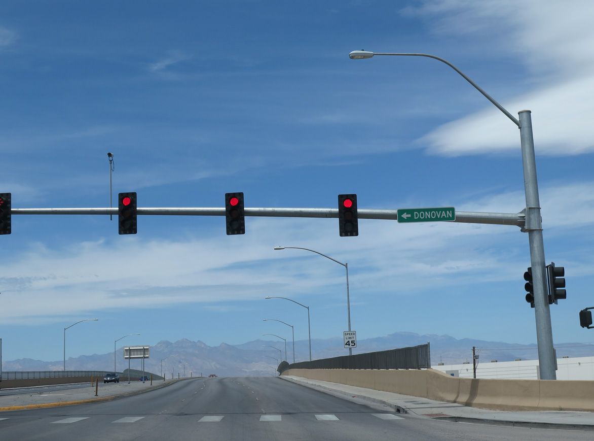
An access road stems south from SR 573 (Craig Road) and the I-15 southbound off-ramp to Donovan Way. Donovan Way parallels a railroad line below Craig Road, serving several industrial businesses.
07/12/15

The eastern segment of SR 573 ends just ahead of Berg Street along the viaduct spanning Donovan Way and the Union Pacific Railroad.
10/20/25

Craig Road intersects Berg Road across from Upper Las Vegas Wash.
10/20/25

Losee Road intersects Craig Road west at the succeeding traffic light beyond Berg Street.
10/24/25
SR 573 resumes along Craig Road west from Decatur Boulevard 2.32 miles to I-11/U.S. 95.
10/23/25
Craig Road west ahead of Bradley Road south. The Spring Mountains line the western horizon.
10/23/25

Camino Del Oro weaves south from Lone Mountain Road through the Rancho Alta Mira neighborhood to intersect Craig Road across from Ivory Circle.
10/23/25

Jones Boulevard provides a cut off from Craig Road west to Rancho Drive (SR 599) south. The four lane boulevard runs 2.5 miles north to CC-215 at Exit 40.
10/23/25
Rancho Drive (SR 599) represents a former alignment of U.S. 95 prior to the opening of the Oran K. Gragson Freeway. U.S. 95 Business follows SR 599 and Rancho Drive on a linear course between central and northwest Las Vegas.
10/23/25
Rainbow Boulevard precedes the west end of SR 573 (Craig Road). Rainbow Boulevard extends north one half mile to Lone Mountain Road and south to I-11/U.S. 95 (Oran K. Gragson Freeway).
07/22/17
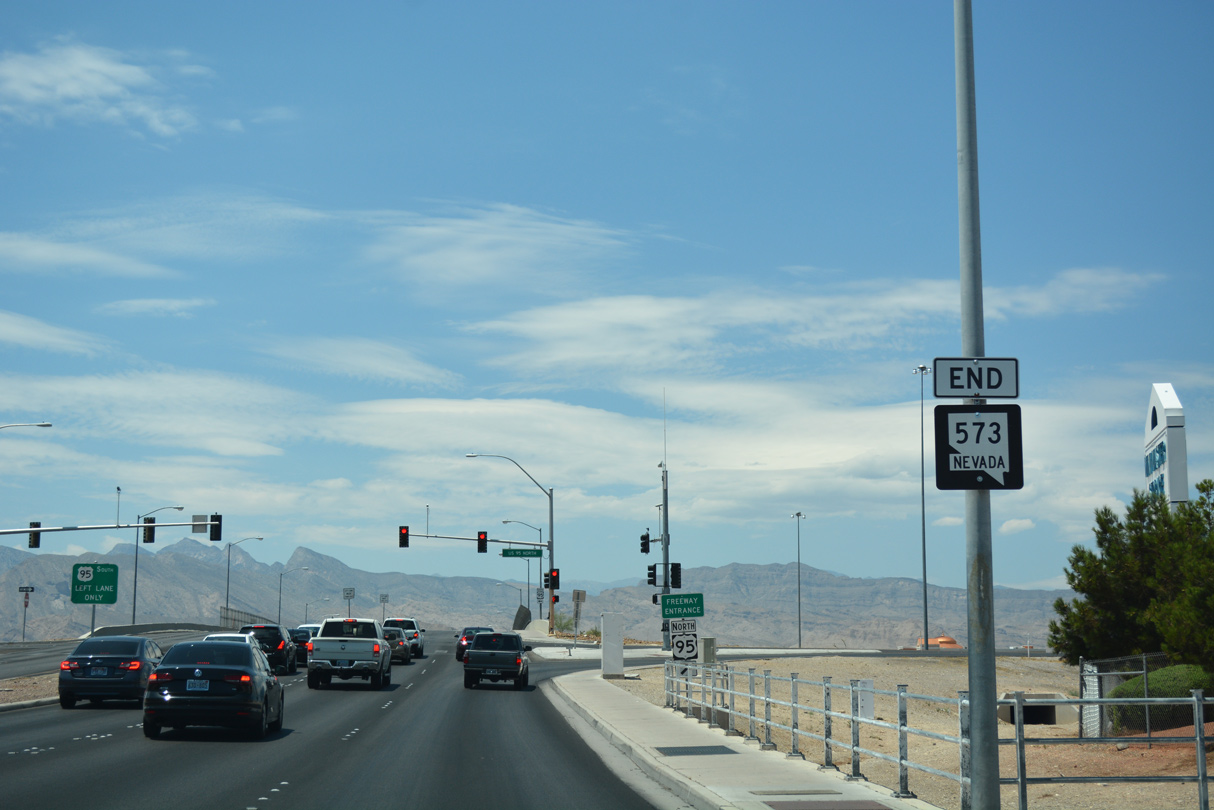
SR 573 (Craig Road) west concludes at a diamond interchange with I-11/U.S. 95 (Oran K. Gragson Freeway). U.S. 95 continues through the northwest suburbs of Las Vegas en route to Beatty and Tonopah.
07/22/17
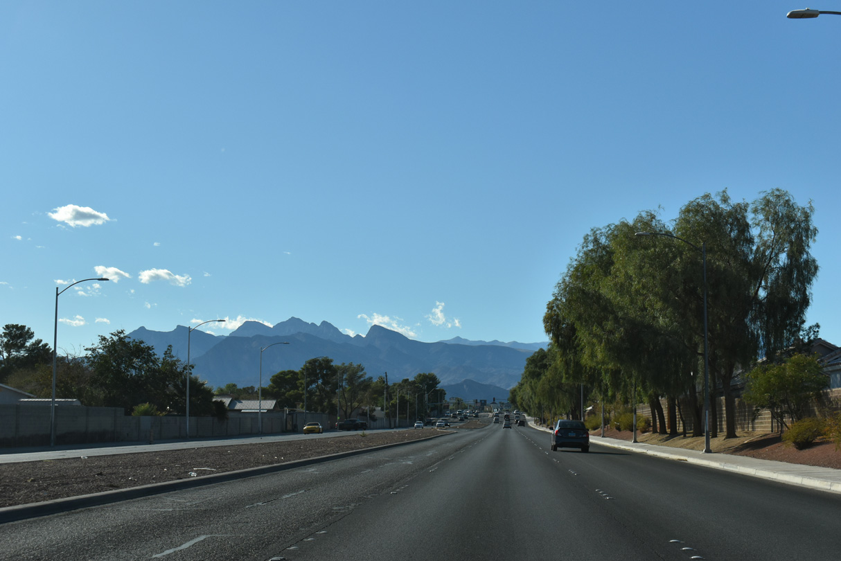
I-11/U.S. 95 travel south and east along the Oran K. Gragson Freeway to Downtown Las Vegas and Henderson. Craig Road extends another 3.4 miles from the west side freeway ramps to Jensen Street at Lone Mountain Regional Park.
07/22/17
Photo Credits:
- ABRoads: 07/14/18, 10/20/25, 10/23/25, 10/24/25
- Andy Field: 07/12/15
- Brent Ivy: 07/22/17
Connect with:
Page Updated Tuesday October 28, 2025.