
Route 99 South - Grants Pass
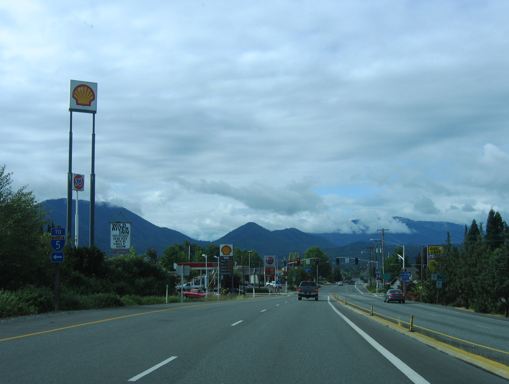
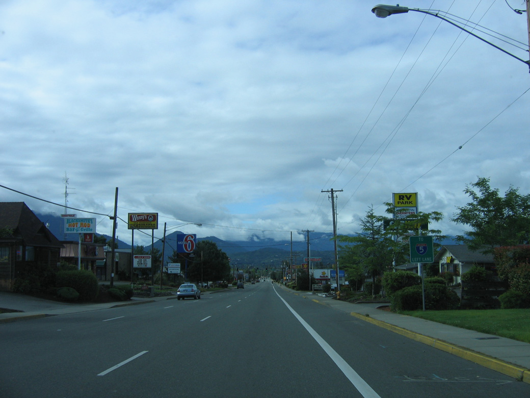
Scoville Road south becomes OR 99 at the ramps (Exit 58) with Interstate 5. OR 99 partitions into the couplet of NW 6th Street south and NW 7th Street ahead of Morgan Lane in Grants Pass.
05/28/06
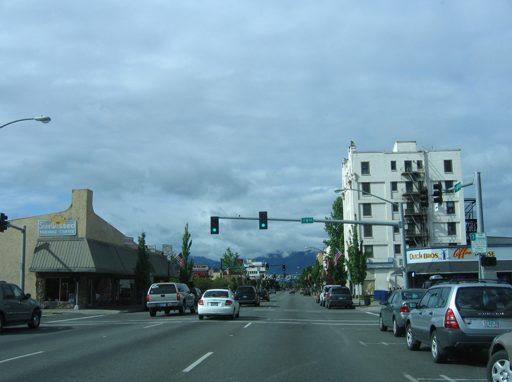
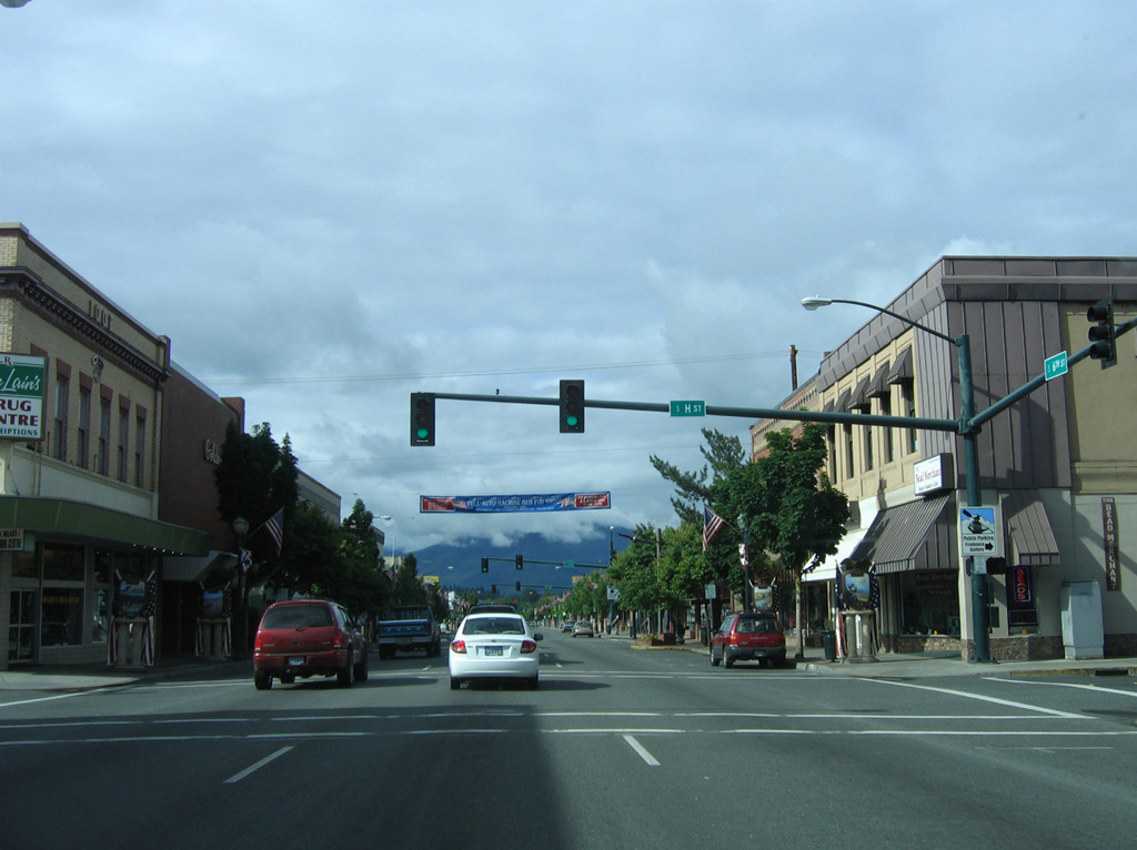
Motorist services such as gas stations, restaurants and hotels line both directions of OR 99 along 6th and 7th Streets through north Grants Pass. Morgan Lane east leads directly onto the entrance ramp for I-5 south.
05/28/06
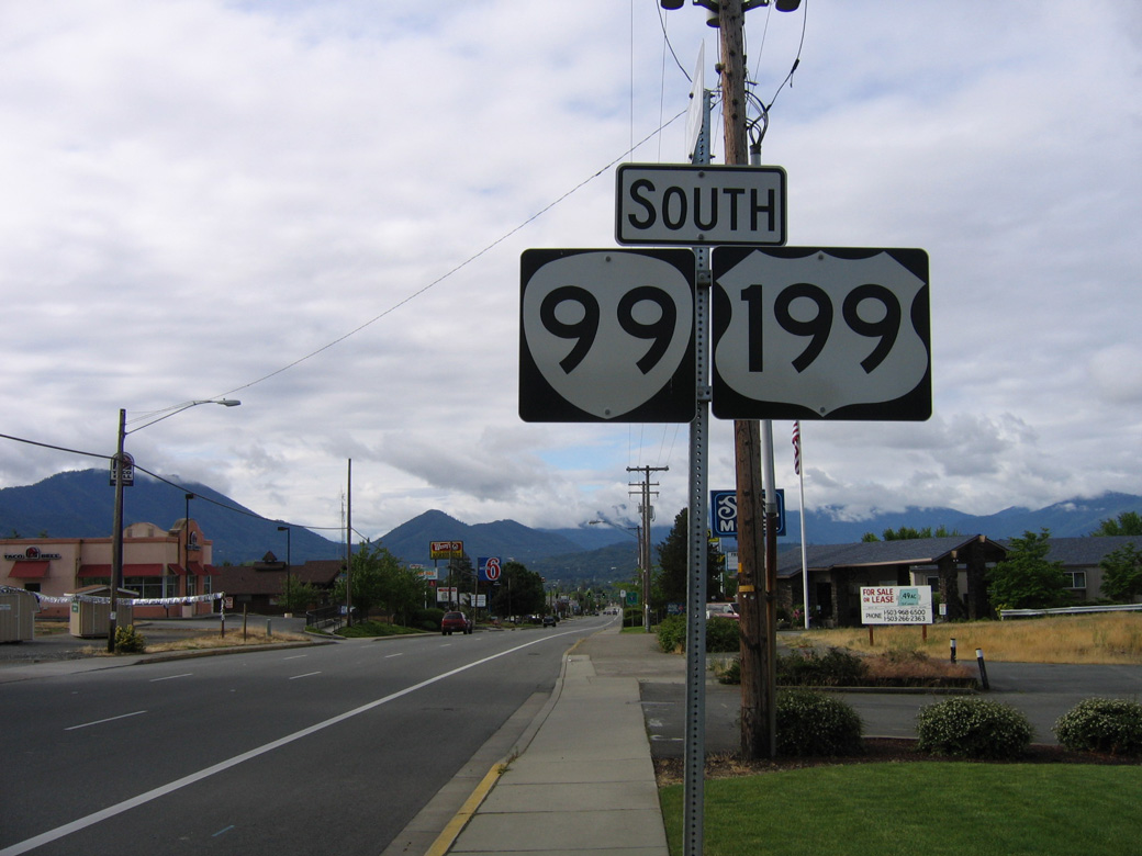
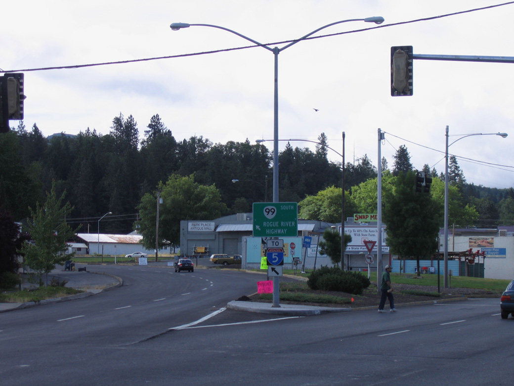
Posted south of where Vine Street (Historic U.S. 99) merges onto 6th Street, the U.S. 199 shield was removed from the replacement of this OR 99 sign assembly south of Vine Street by 2012.
05/28/06
Forthcoming Hillcrest Drive is the next through street linking OR 99 on 6th and 7th Streets.
05/28/06
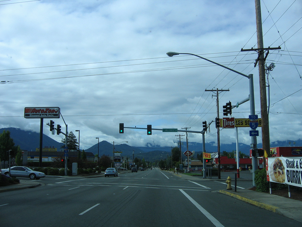
Hillcrest Drive stems east from Hawthorne Avenue at Gilbert Creek Park to a neighborhood east of Interstate 5 by Beacon Hill.
05/28/06
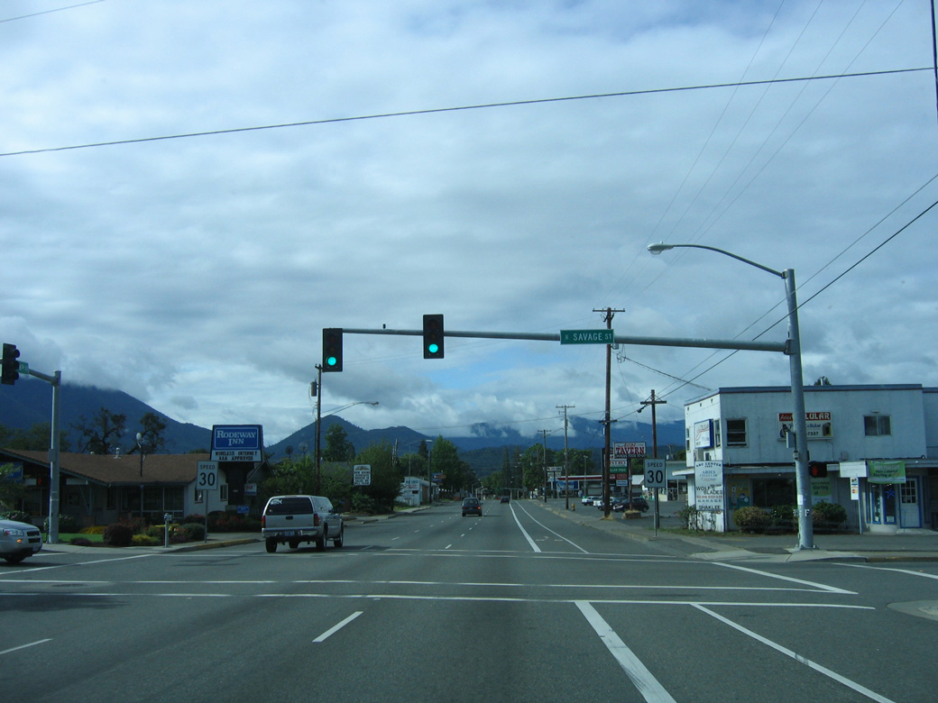
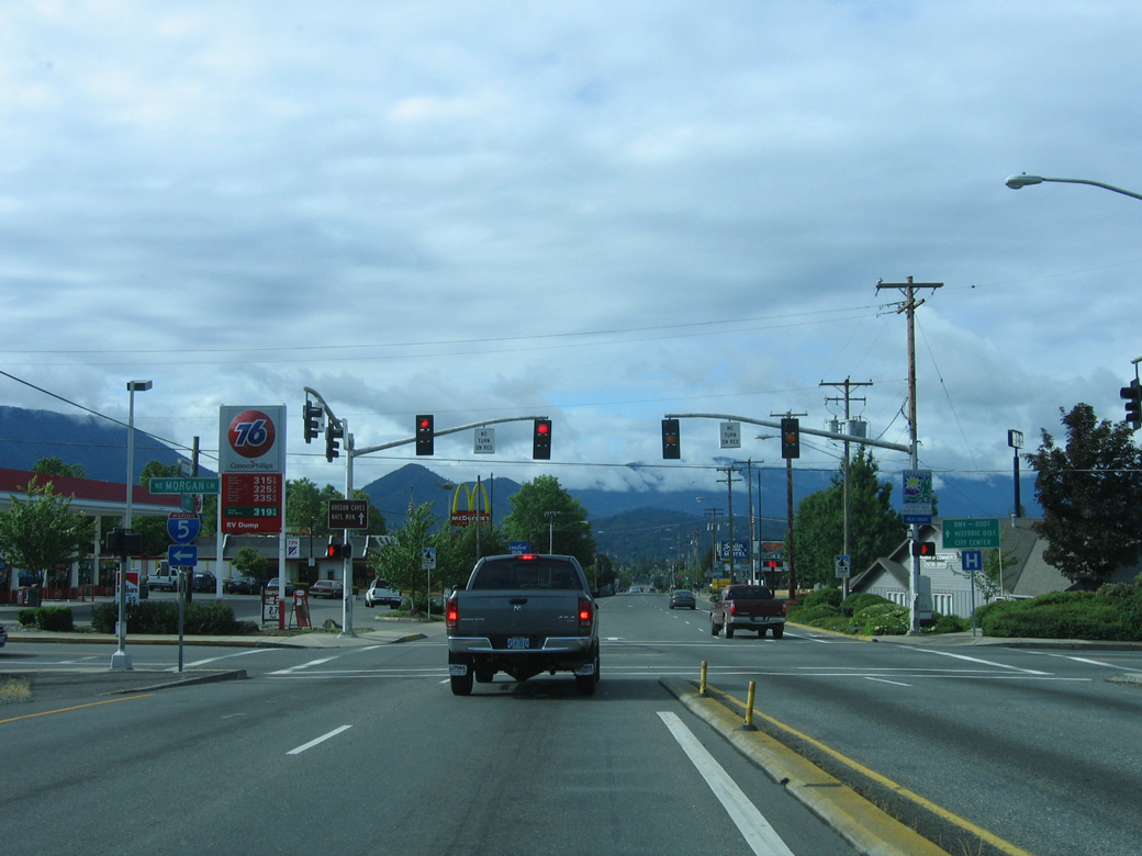
The succeeding traffic signal on SR 99 (6th Street) south is with Savage Street. Savage Street leads west to Hawthorne Avenue and east to Beacon Drive.
05/28/06
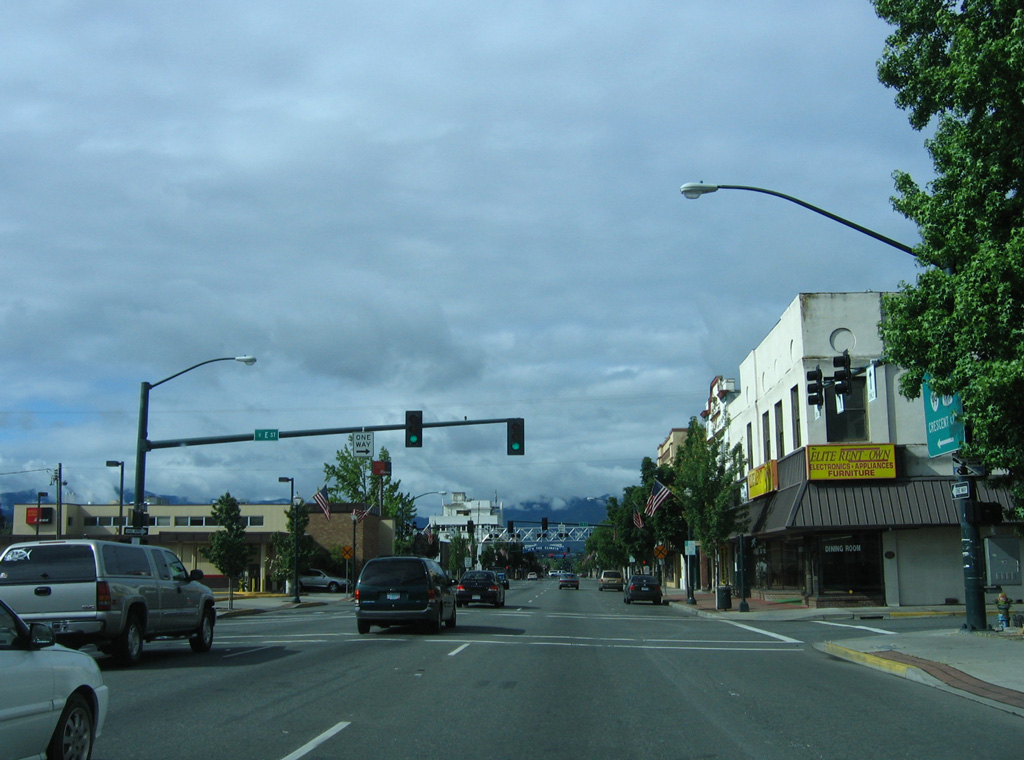
The shield assemblies referencing both U.S. 199 and OR 99 along 6th Street south of Manzanita Avenue were replaced by 2012 to no longer include the U.S. Highway.
05/28/06
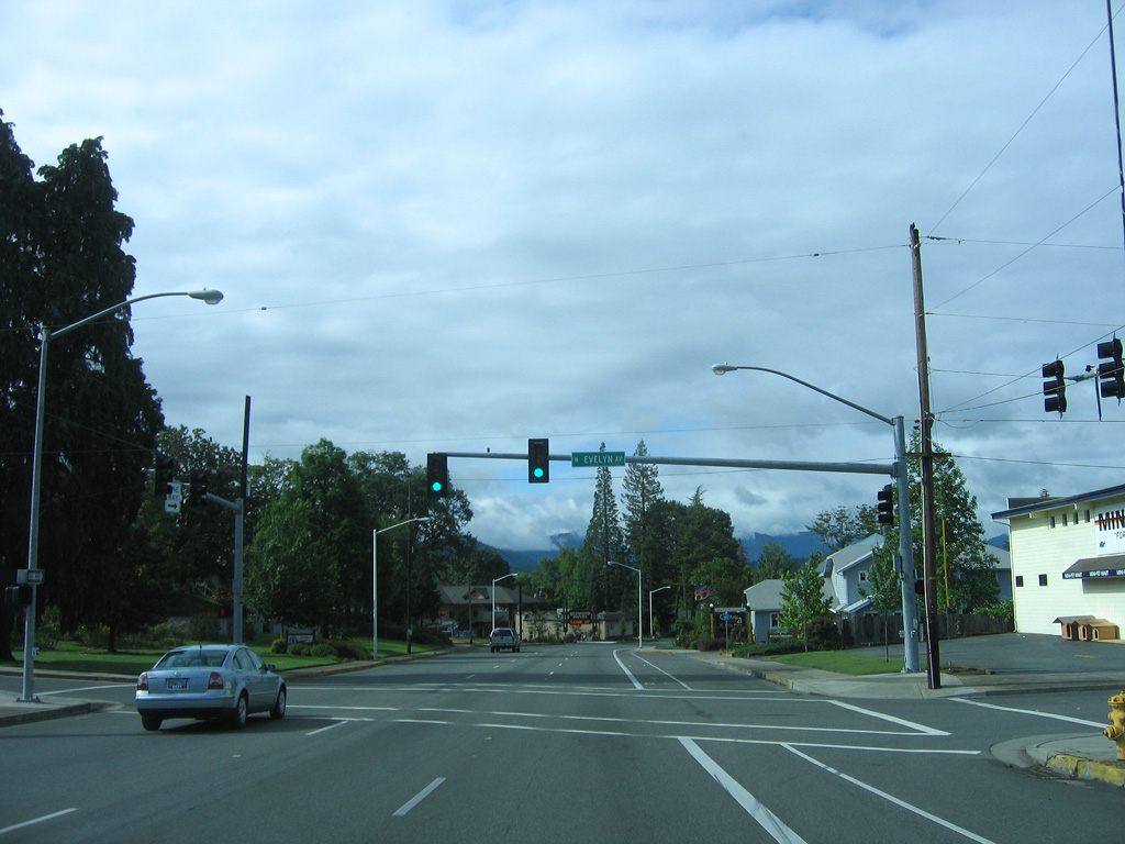
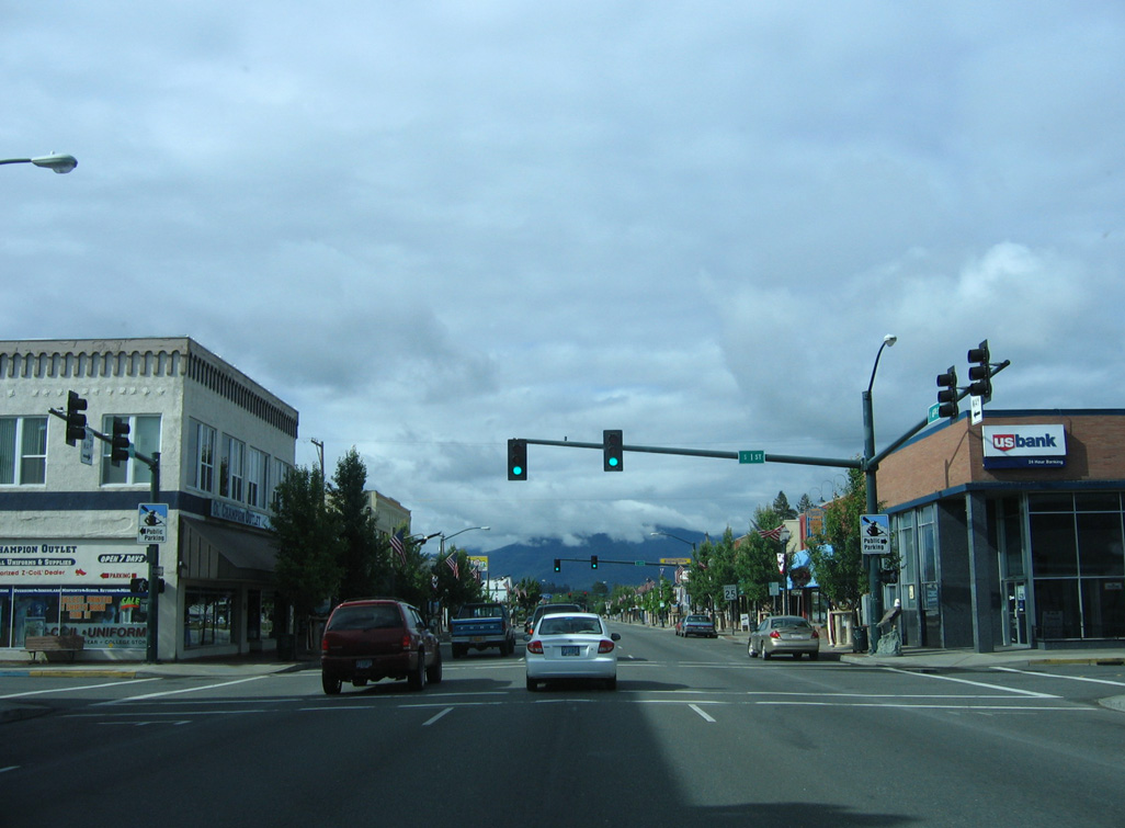
6th Street shifts southwest beyond the signalized intersection with Evelyn Avenue.
05/28/06
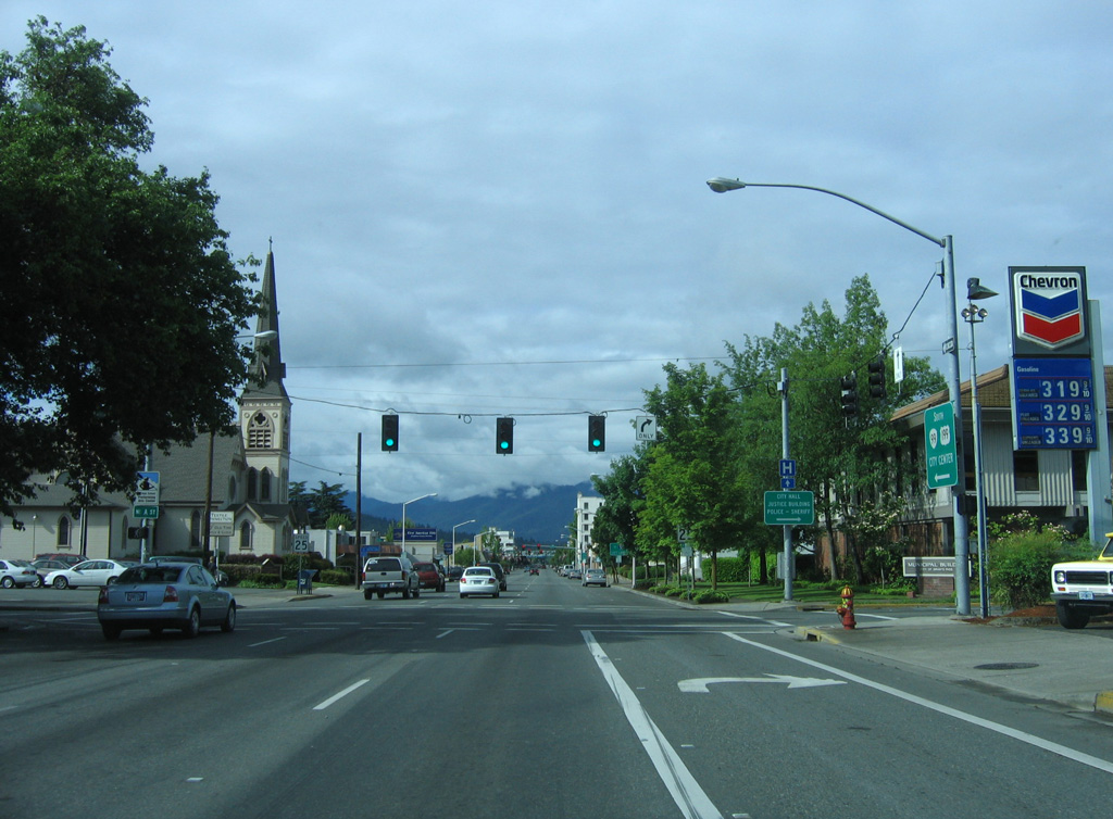
A Street extends west from Foothill Boulevard to meet OR 99 (6th Street) at the next southbound traffic light. City Hall for Grants Pass, "Where the Rogue River Runs" is one of the city's mottos, is at the southwest corner of 6th and A Streets.
05/28/06
The Josephine County Courthouse lines the west side of OR 99 (6th Street) between B and C Streets.
05/28/06
Shields for U.S. 199/OR 99 preceding C Street on 6th Street southbound were replaced by 2012. U.S. 199 was dropped, and the shield on the left was subsequently removed by 2024 with a guide sign for I-5 posted nearby instead.
05/28/06
Entering Downtown Grants Pass along OR 99 (6th Street) south at D Street.
05/28/06
Historically U.S. 199 followed the couplet of E Street west and F Street east into Downtown Grants Pass from the east side of the city. A remnant from that route is a guide sign referencing the turn of U.S. 199 south onto OR 99 at 6th Street.
05/28/06
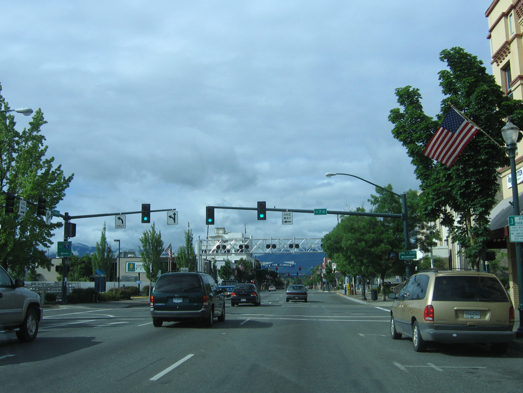
Southbound OR 99 (6th Street) intersects F Street just ahead of a Central Oregon & Pacific Railroad crossing. U.S. 199 formerly took F Street east from OR 99 (7th Street) to a point ahead of Beacon Drive.
05/28/06
A confirming marker for OR 99 stands along 6th Street southbound beyond the Central Oregon & Pacific Railroad at-grade crossing. U.S. 199 was removed from the assembly by 2012.
05/28/06
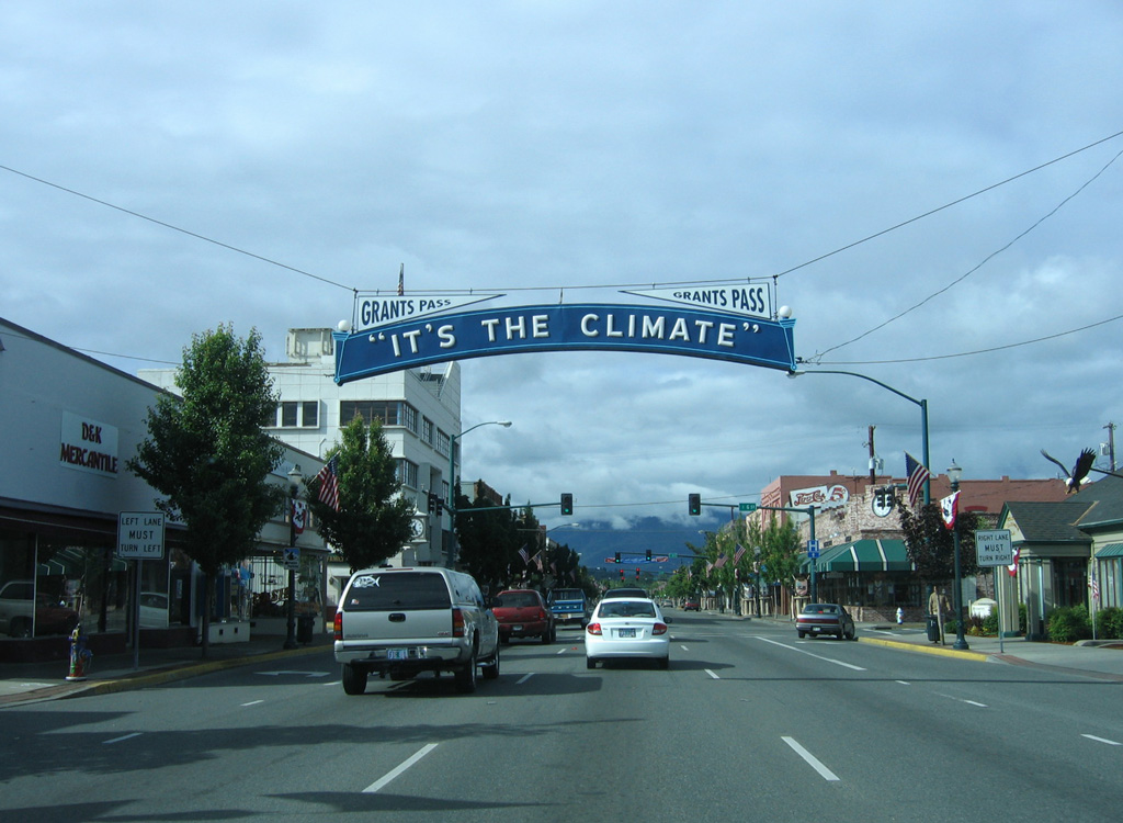
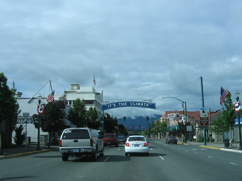
A decorative overhead sign preceding G Street on 6th Street welcomes all to Grants Pass: "It's the Climate."
05/28/06
6th Street meets G Street at this intersection in Downtown Grants Pass.
05/28/06
S 6th Street south at H Street.
05/28/06
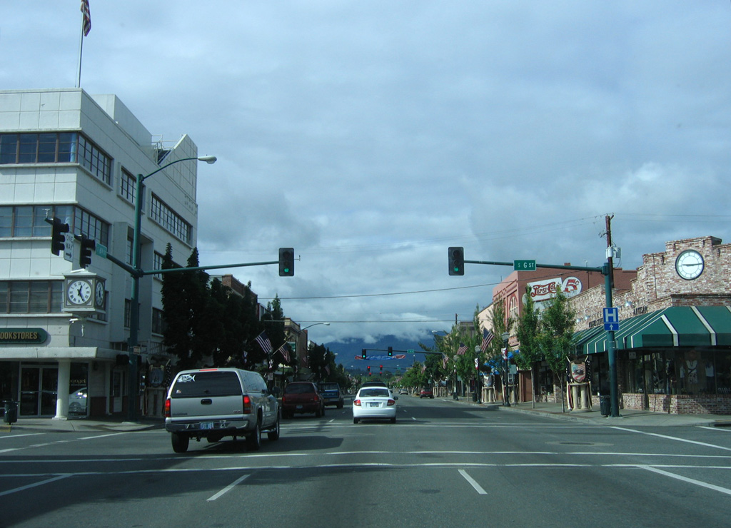
OR 99 (6th Street) south at I Street.
05/28/06
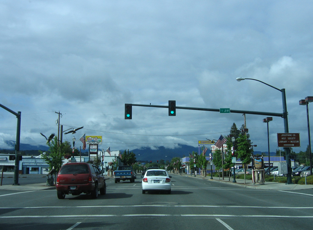
J Street leads west to the Josephine County Library, Historical Society, and Museum.
05/28/06
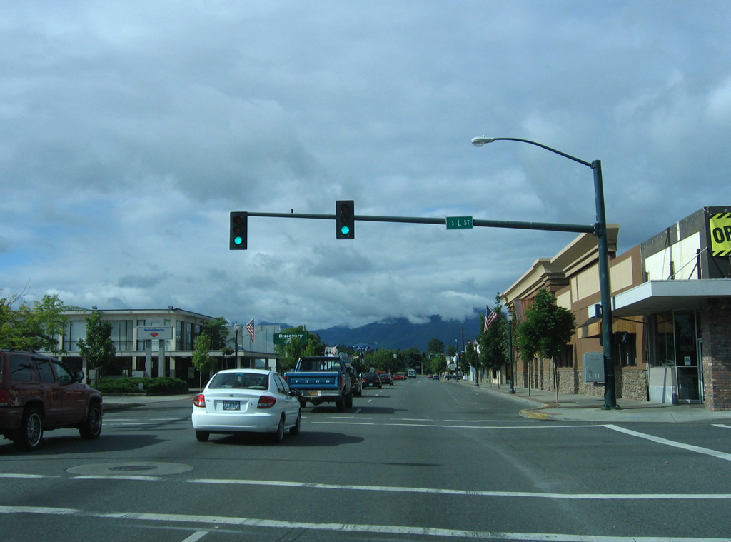
The next traffic signal is for L Street, which is part of the Downtown Grants Pass street grid.
05/28/06
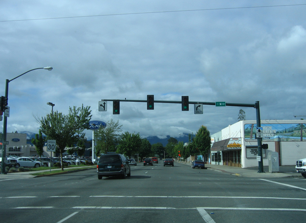
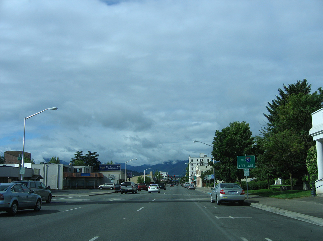
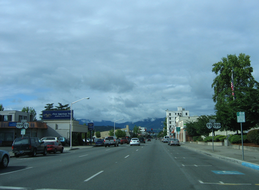
M Street runs southeast from Bridge Street to an industrial area of east Grants Pass at U.S. 199 (Redwood Highway).
05/28/06
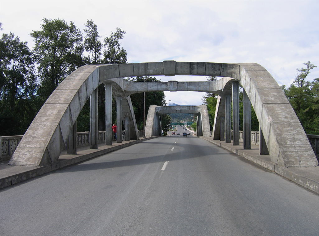
OR 99 (6th Street) reduces to two southbound lanes ahead of the Caveman Bridge crossing the Rogue River.
05/28/06
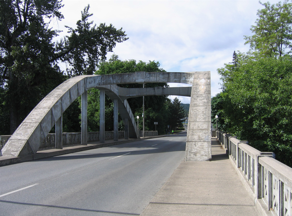
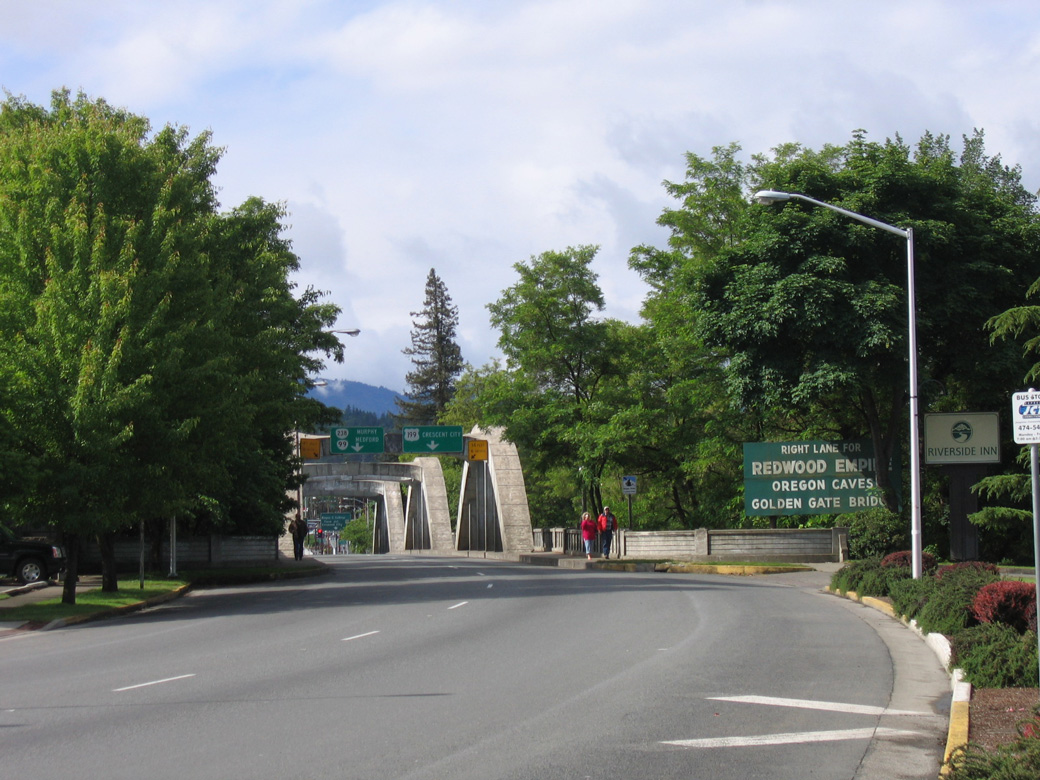
The concrete through arch bridge taking OR 99 south over the Rogue River comes into view.
05/28/06
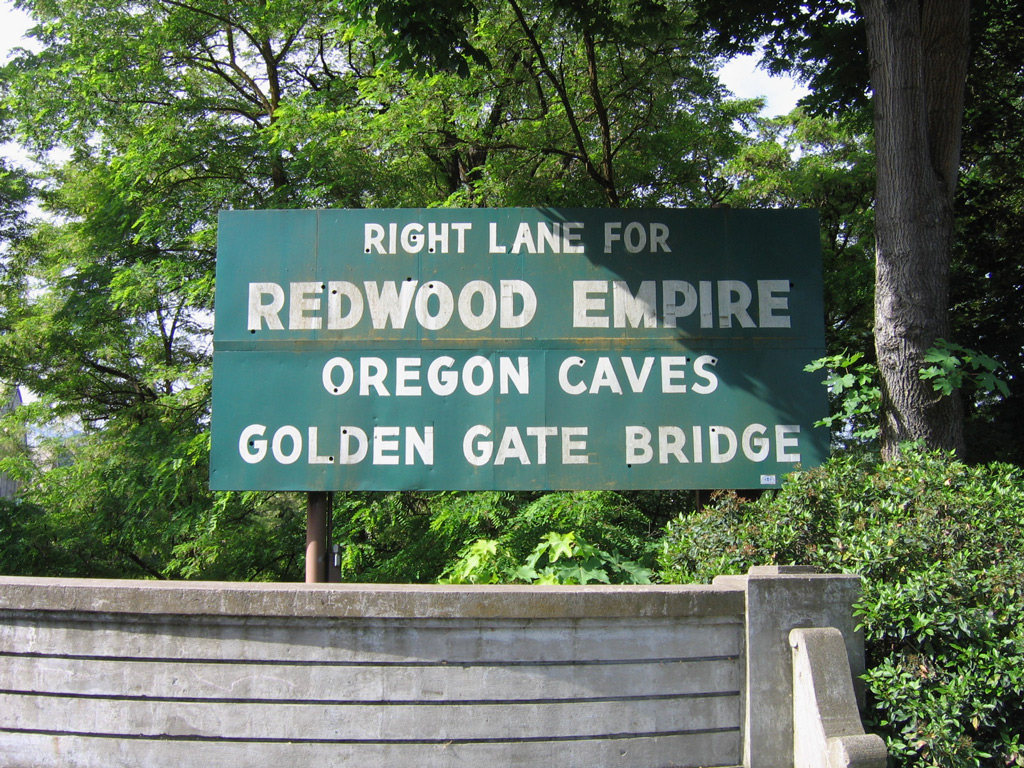
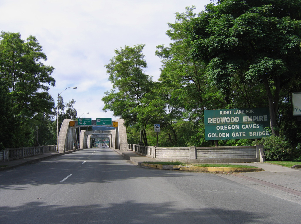
A vintage art deco sign at the Caveman Bridge references the destinations along the Redwood Highway, including the Redwood Empire, Oregon Caves National Monument, and the Golden Gate Bridge.
05/28/06
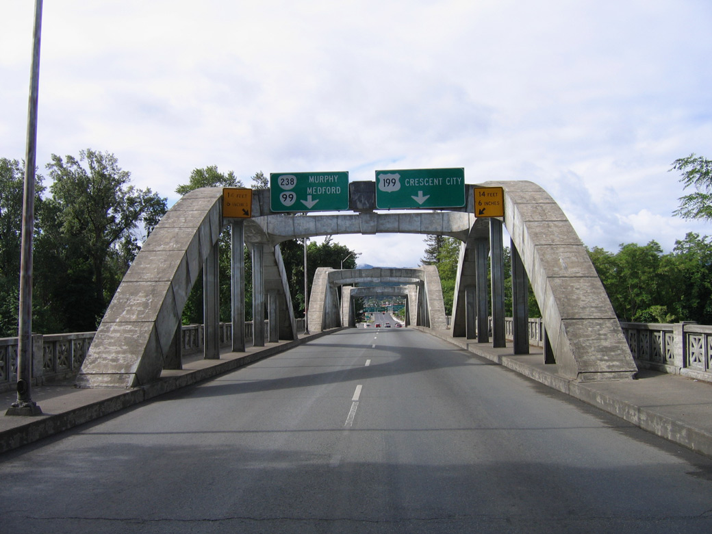
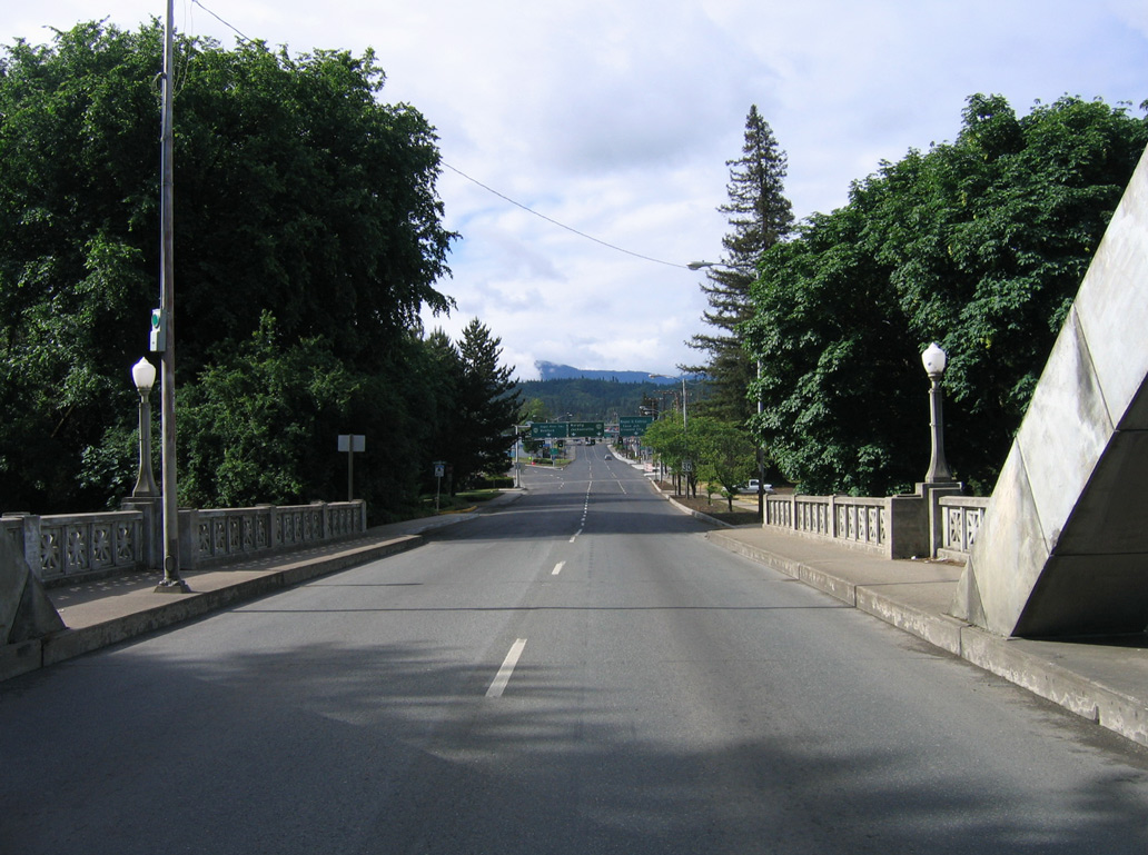
Beyond the south end of the Caveman Bridge, OR 99 separates with SW 6th Street for Rogue River Highway ahead of U.S. 199 (Redwood Highway) and OR 238 (Williams Highway).
05/28/06
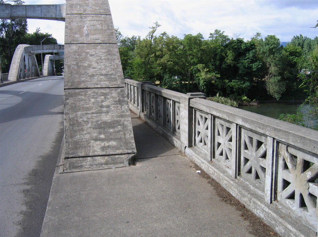
Like many bridges of its era, the Caveman Bridge has ornate concrete guardrail.
05/28/06
The Caveman Bridge was built in 1931.
05/28/06
The Caveman Bridge spans a portion of Riverside Park ahead of the signalized intersection joining OR 99 (6th Street) with Park Street.
05/28/06
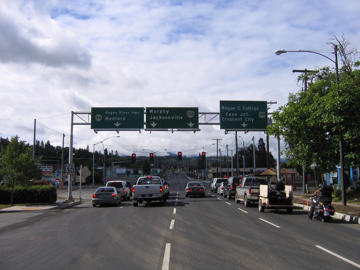
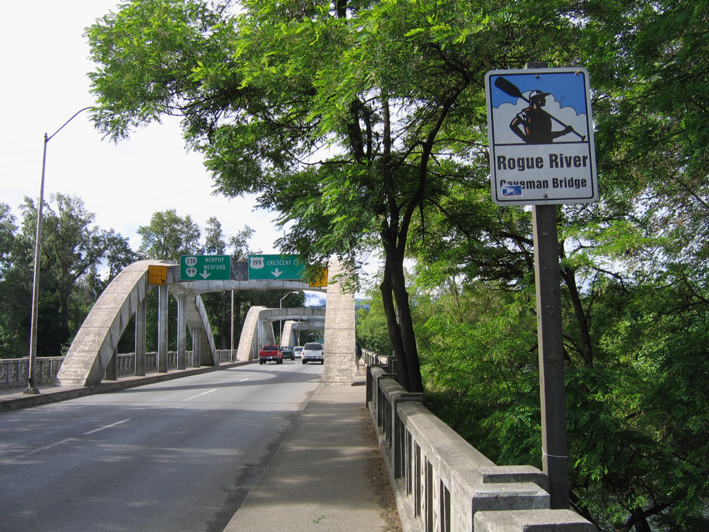
OR 99 continues with two lanes southeast onto Rogue River Highway while 6th Street extends south with three lanes to U.S. 199 (Redwood Highway) at OR 238 (Williams Highway). U.S. 199 travels southwest from Grants Pass to Cave Junction and Crescent City, California. OR 238 loops south to Medford via Murphy and Jacksonville.
05/28/06
OR 99 follows Rogue River Highway east from U.S. 199 (Redwood Highway) to Gold Hill. The northernmost section of U.S. 199 passes through an area of big box retail in east Grants Pass before concluding at Interstate 5.
05/28/06
6th Street proceeds south to connect OR 99 with U.S. 199 (Redwood Highway) and the eastbound beginning of OR 238. There are no advance shields posted for either route.
05/28/06
U.S. 199 formerly turned west onto Redwood Highway from 6th Street. This later was part of a business route for U.S. 199, with a Bypass route designated along the continuation of Redwood Highway east to Interstate 5.
05/28/06
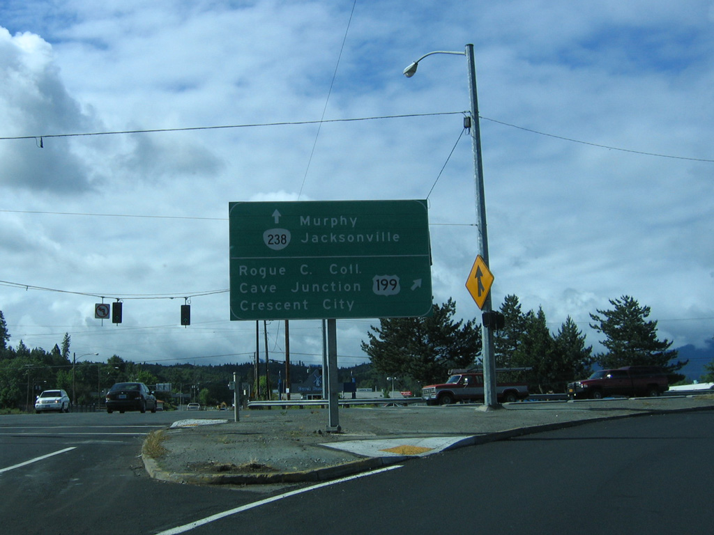
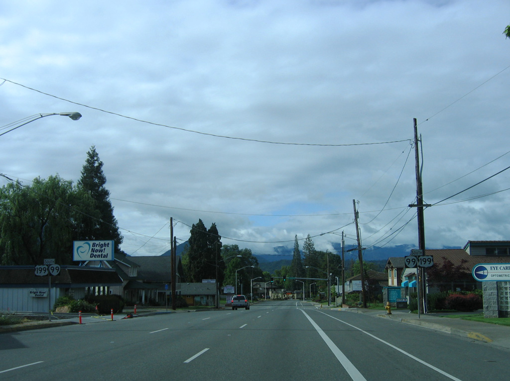
OR 238 (Jacksonville Highway) comprises a 38.75 mile long loop south between U.S. 199 at Grants Pass and OR 62/99 in Medford. Southwest from Grants Pass, U.S. 199 leads to Rogue Community College, Cave Junction, Oregon Caves National Monument, and U.S. 101 at Crescent City, California.
05/28/06
Photo Credits:
- Andy Field, Joel Windmiller: 05/28/06
Connect with:
Page Updated Sunday August 17, 2025.