
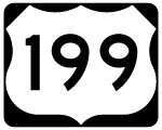
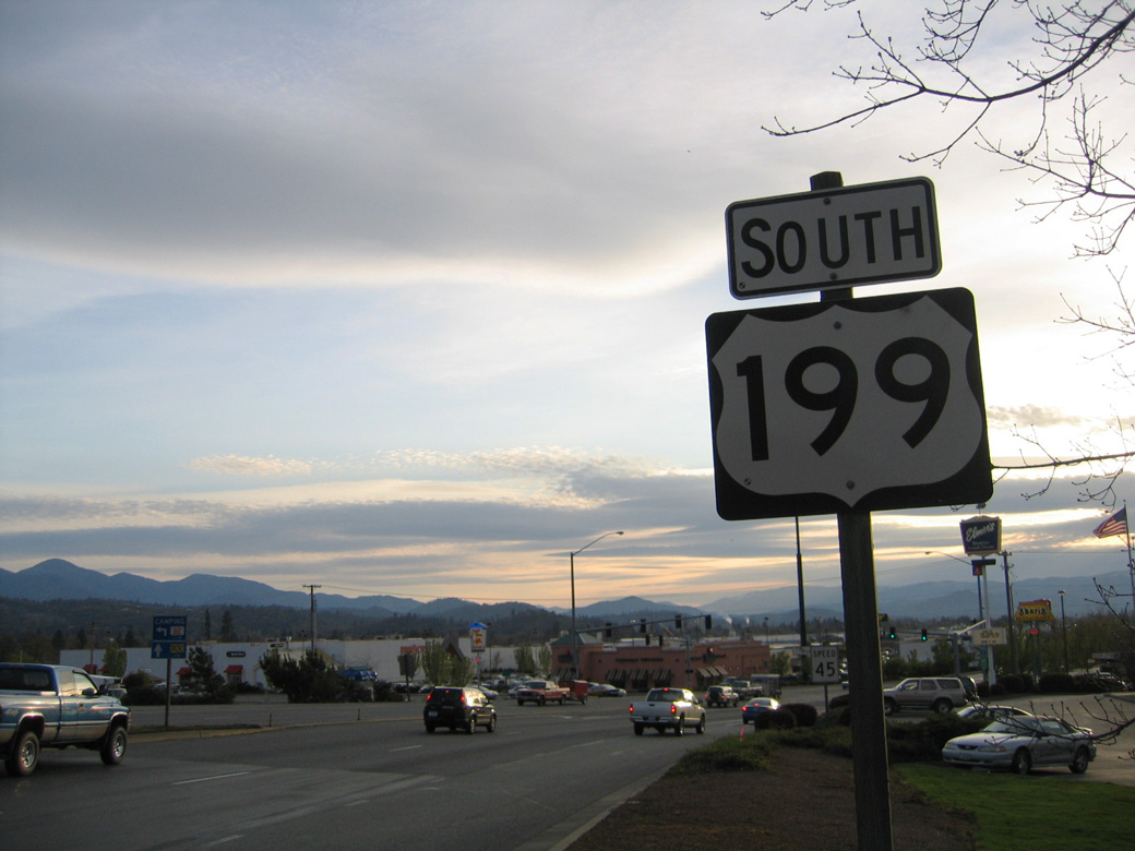
U.S. 199
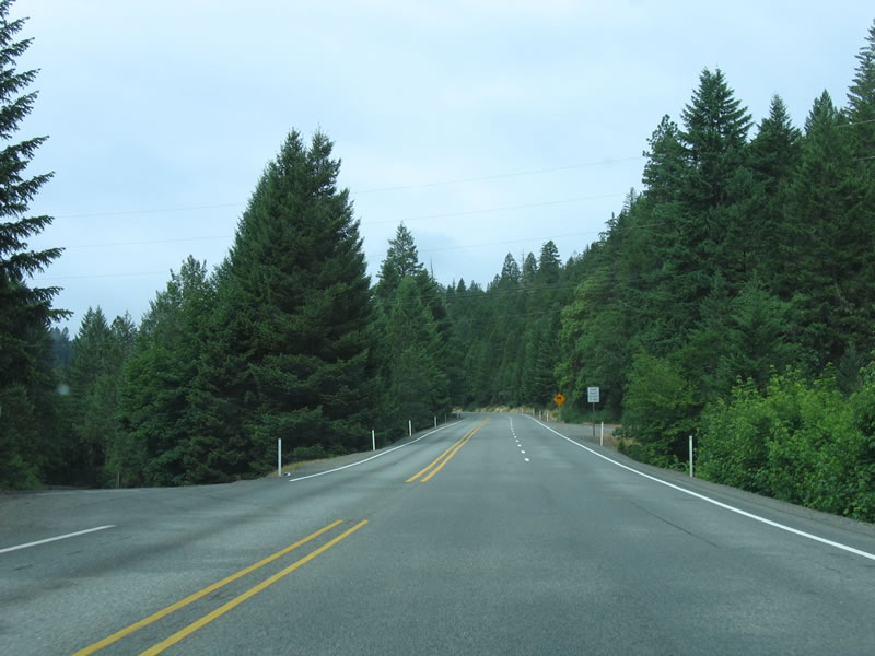
While U.S. 99 was decommissioned 1972, U.S. 199 remains within the system connecting Crescent City, California with Grants Pass, Oregon. 80 miles in length, U.S. 199 passes through Gasquet, California en route to O'Brien, Cave Junction and Selma, Oregon. It follows the northernmost segment of the Redwood Highway, which follows U.S. 101 from San Francisco to Crescent City and U.S. 199 from there north to Grants Pass. Most of U.S. 199 in Oregon is a two lane highway, passing from the foothills of Oregon Mountain north to Grants Pass.
The city of Grants Pass began in 1865 as the site of a stage station and post office. The site was named "Grant" in honor of Union General Ulysses S. Grant, however that would quickly be changed as another Grant, Oregon already existed at the time. At the same time a new roadway linking the area with Merlin to the north was constructed. Crews working on the project suggested calling the road over the pass of Merlin Hill, Grant's Pass. The name caught on and eventually encompassed the post office. In 1883 the Southern Pacific Railroad line entered the valley and the community of Grants Pass grew. Expansion of Grants Pass followed as the town prospered as a shipping center. Incorporation followed in 1885 at the same time Grants Pass became the seat of government for Josephine County.
Grant's Pass motto is "It's the Climate." Annual rainfall in 2005 was 37.92 inches, with average July temperatures in the low 90s and average January temperatures in the upper 40s. Nevertheless, rain has caused flooding in Grants Pass, with flooding events along the Rogue River in 1997 and 1964. Excessive rain in those years both resulted in widespread flooding and related damage in southern Oregon and northwest California.
Within Grants Pass, U.S. 199 bypasses Downtown along a four lane controlled access arterial to the east. The original alignment of U.S. 199 overlapped with OR 99 north from Redwood Highway along the couplet of 6th/7th Streets into Downtown. U.S. 199 then partitioned along the couplet of E/F Streets east, where it joins the current alignment west ahead of Beacon Drive.
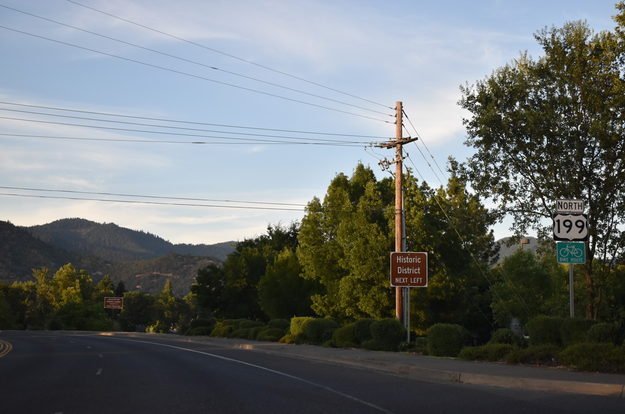
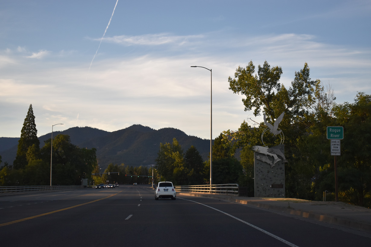
 Redwood Highway - North
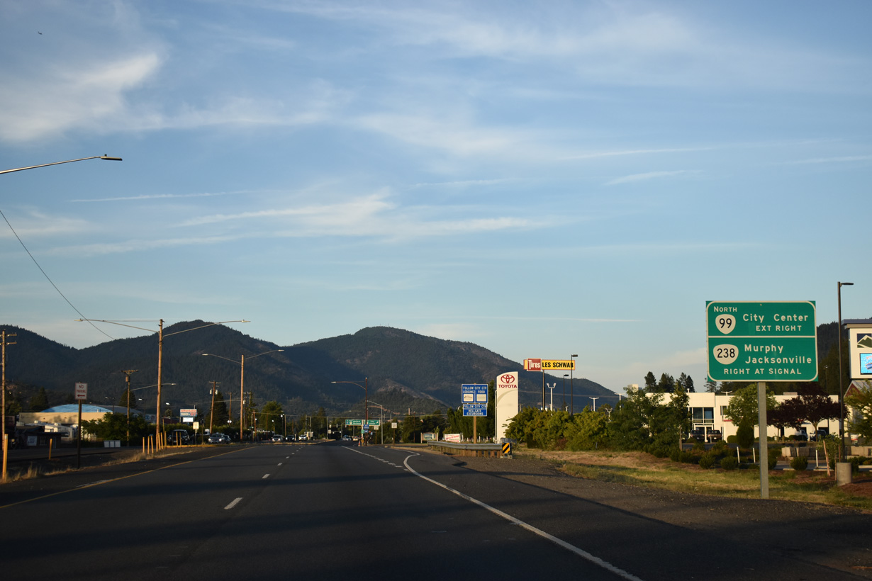
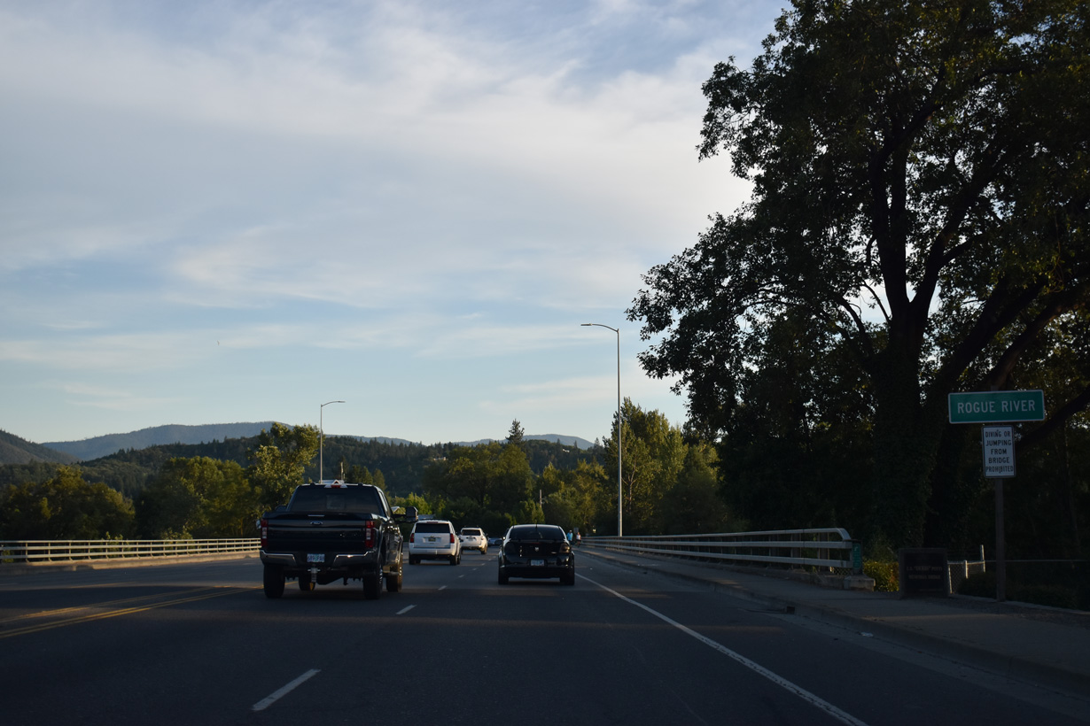
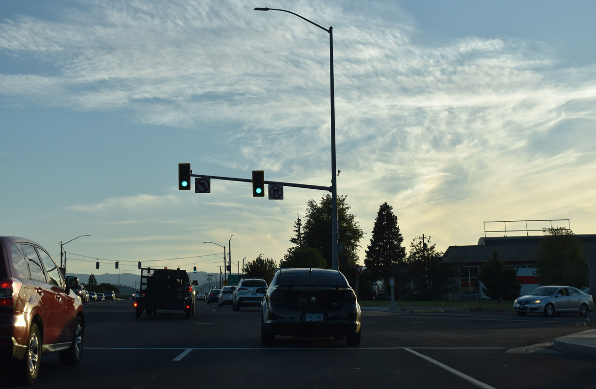
U.S. 199 (Redwood Highway) converges with OR 238 (Williams Highway) and OR 99 (Rogue River Highway) at a grade separated intersection in Grants Pass.
07/15/23
A high-speed ramp links U.S. 199 northbound with OR 99 north along 7th Street to Downtown Grants Pass.
07/15/23
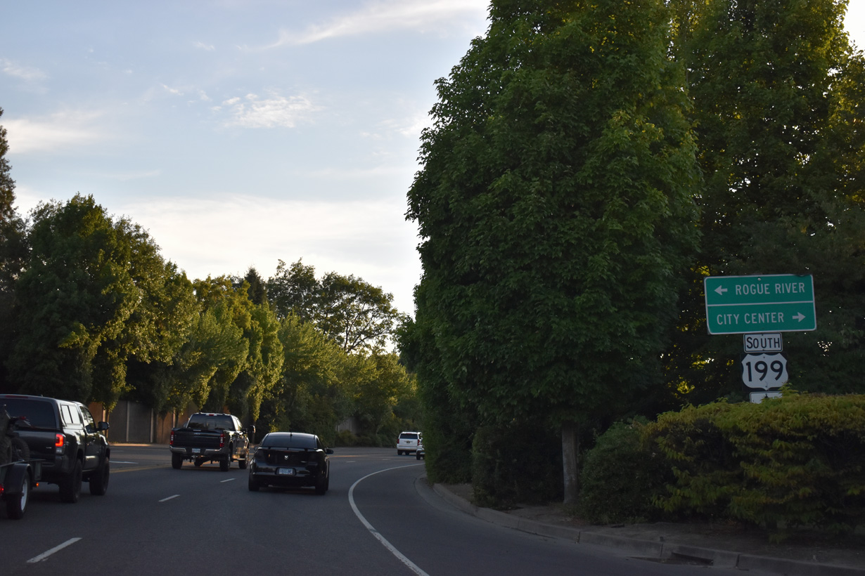
OR 238 (Williams Highway) begins south from SW 6th Street (OR 99) and U.S. 199. Measuring 38.75 miles in length, OR 238 loops south to Murphy and Jacksonville between Grants Pass and OR 62/99 in Medford.
07/15/23
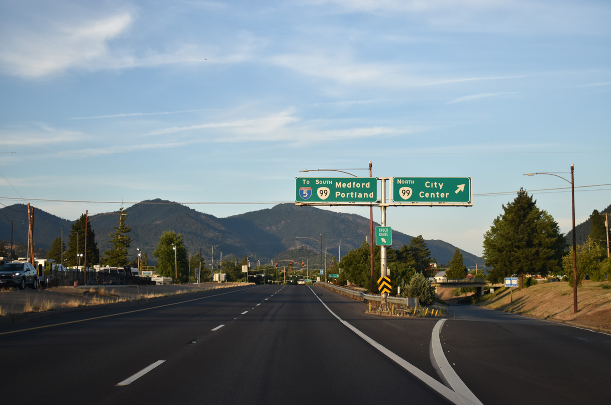
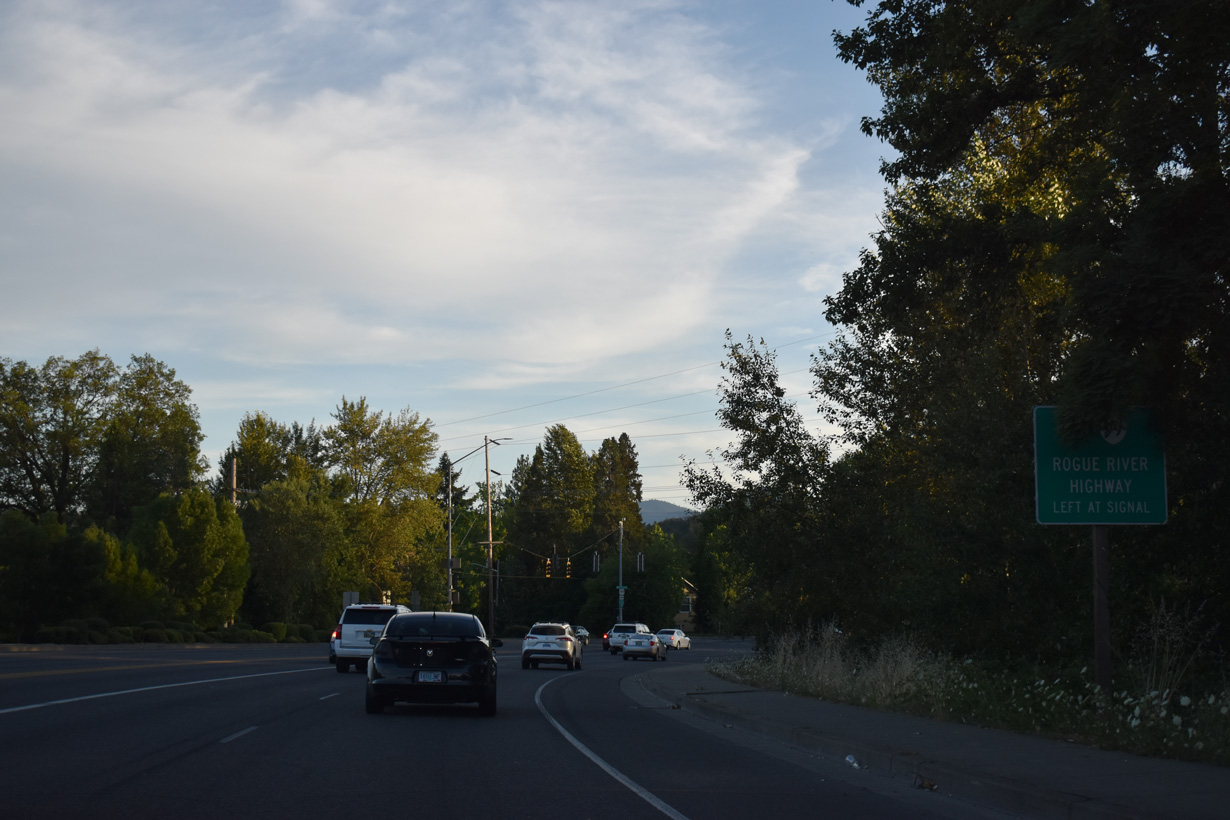
Intersecting U.S. 199 above the ramp from Redwood Highway to OR 99 northbound, OR 99 curves southeast onto Rogue River Highway from SW 6th Street. The former route of U.S. 99 travels east to Rogue River and Rock Point.
07/15/23
OR 99 (Rogue River Highway) northbound intersects U.S. 199 at the succeeding signal. The state route crosses the Rogue River at Riverside Park and proceeds north through the Grants Pass city center along the couplet of 6th/7th Streets.
07/15/23
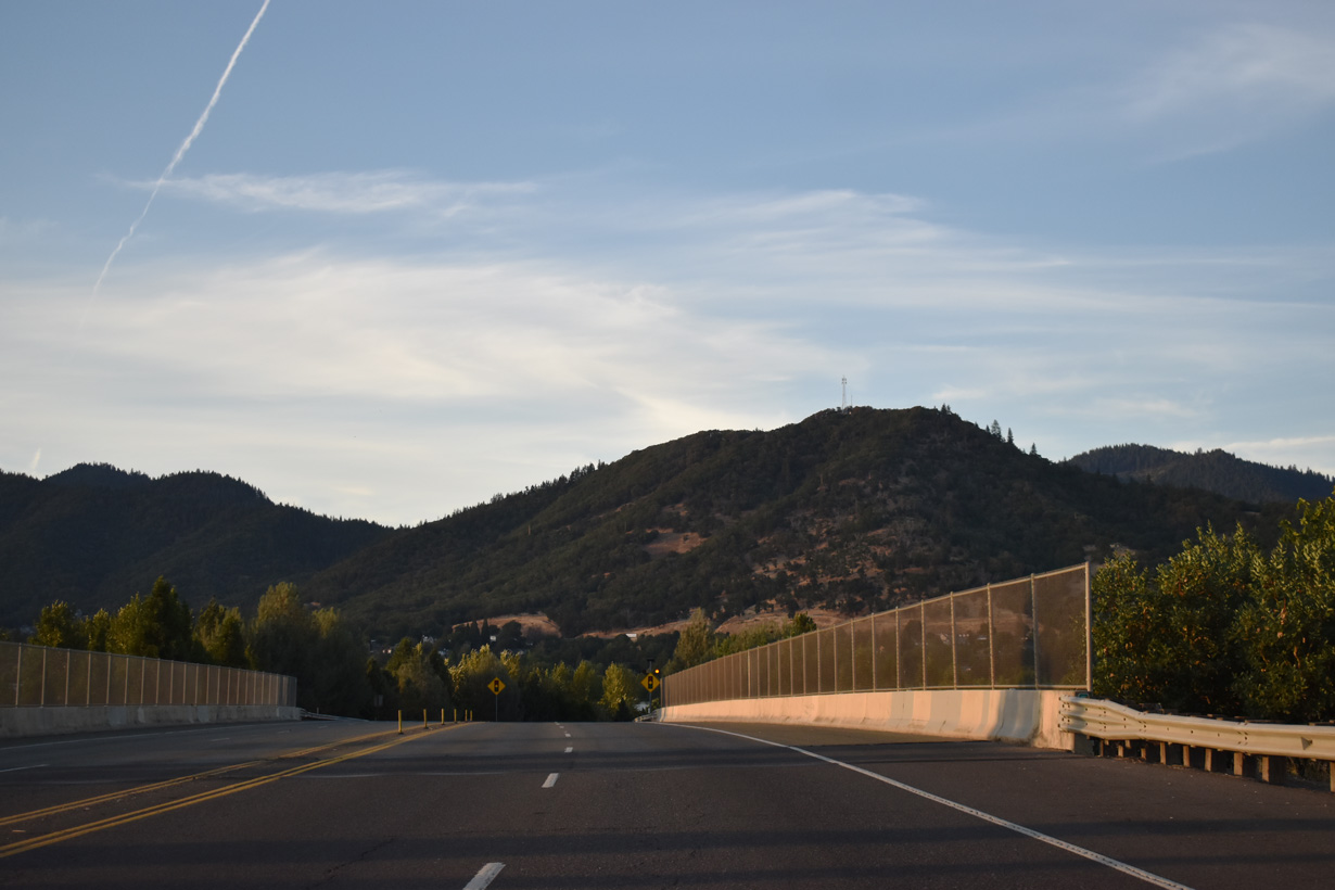
Grants Pass Parkway - North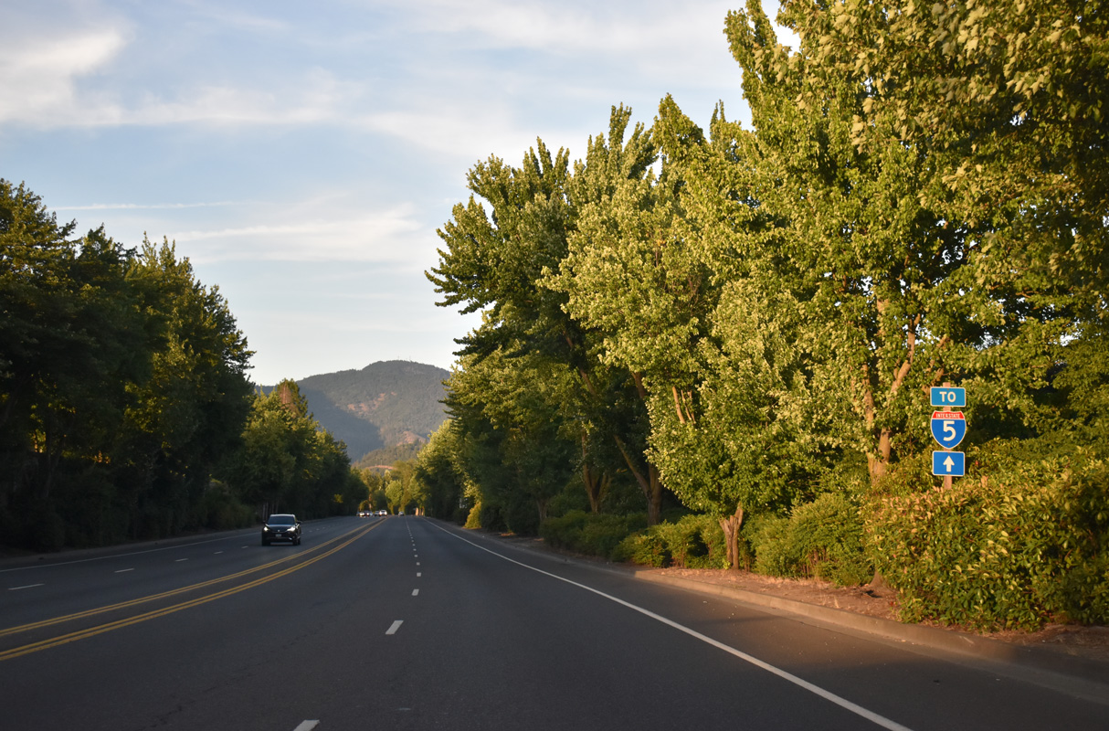
East of OR 99 (Rogue River Highway), U.S. 199 follows Grants Pass Parkway, a controlled access arterial northeast to Interstate 5.
07/15/23
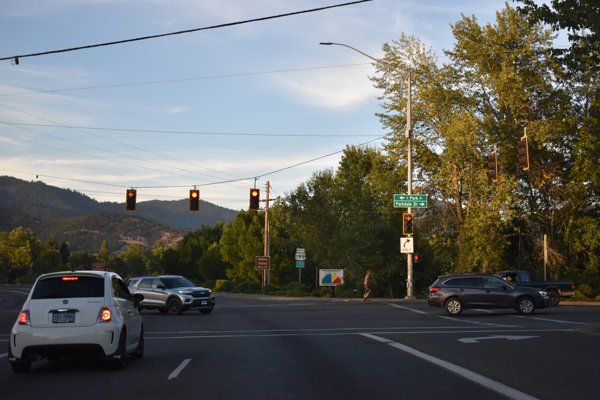
Park Street east from Riverside Park intersects U.S. 199 (Grants Pass Parkway) across from Parkdale Drive north from OR 99 (Rogue River Highway).
07/15/23
U.S. 199 curves north from Parkdale Drive alongside Baker Park.
07/15/23
Grants Pass Parkway continues north across the Rogue River.
07/15/23
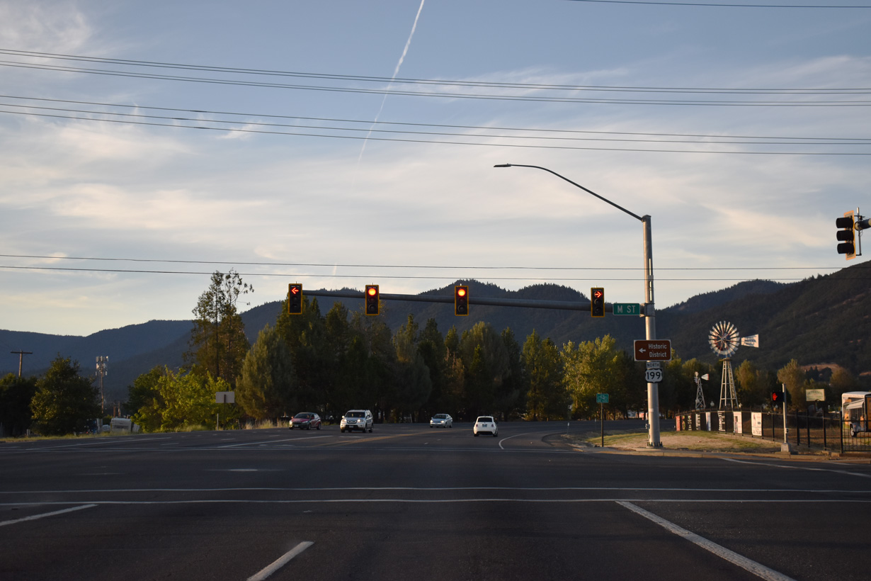
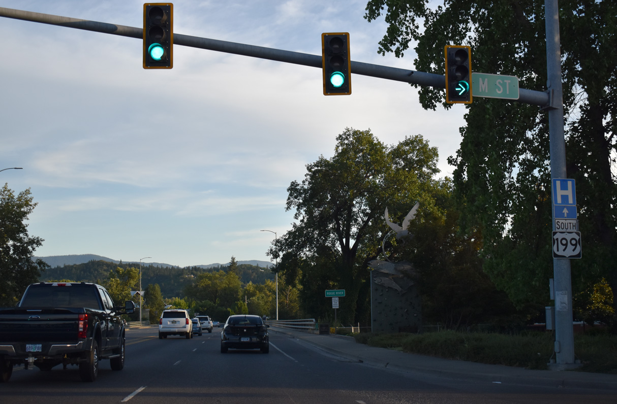
M Street separates residential areas to the south from an industrial area to the north.
07/15/23
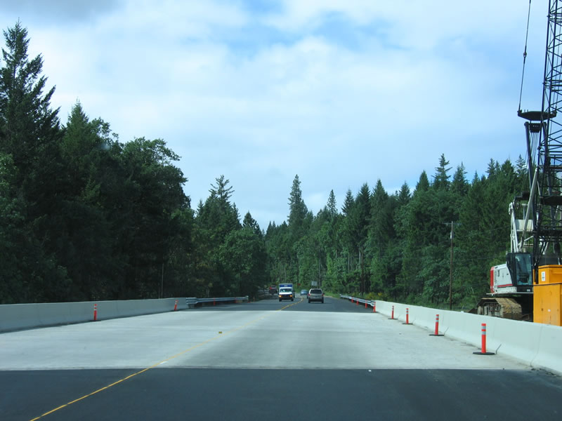
The realignment of U.S. 199 along Grants Pass Parkway bypasses the Grants Pass city center to the southeast. The four lane arterial includes a bridge above the Central Oregon & Pacific Railroad.
07/15/23
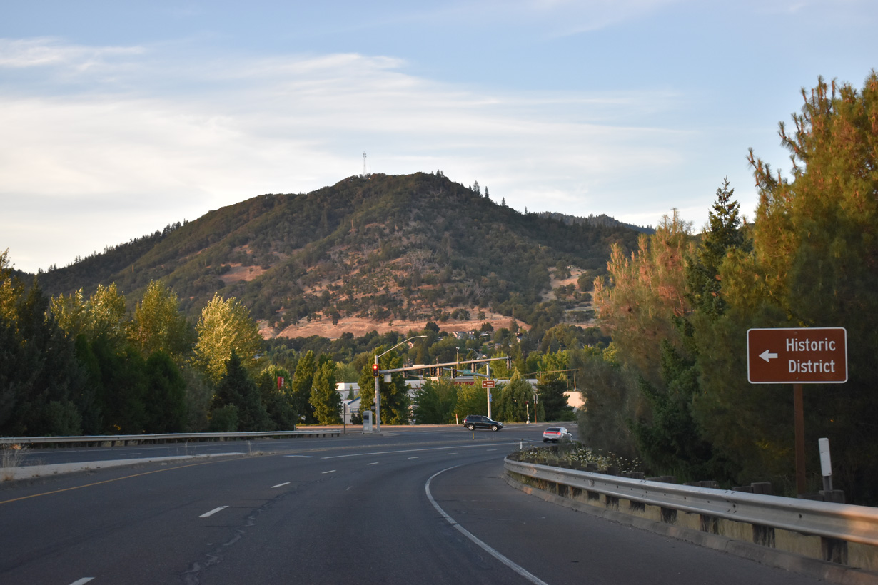
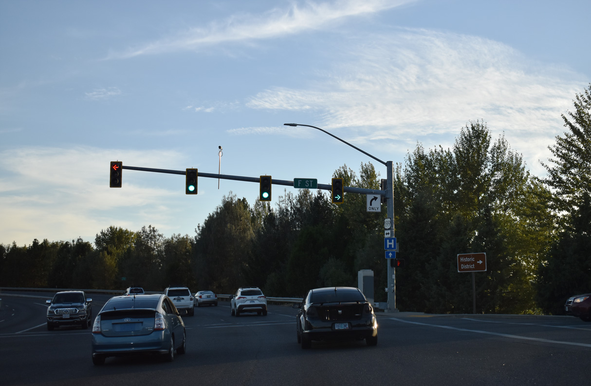
F Street west to Downtown Grants Pass is the historic route of U.S. 199 to OR 99 (6th/7th Streets).
07/15/23
F Street continues southeast from U.S. 199 (Grants Pass Parkway) between big box retail and industrial areas along the Central Oregon & Pacific Railroad.
07/15/23
The final reassurance marker for U.S. 199 north appears at Beacon Drive.
07/15/23
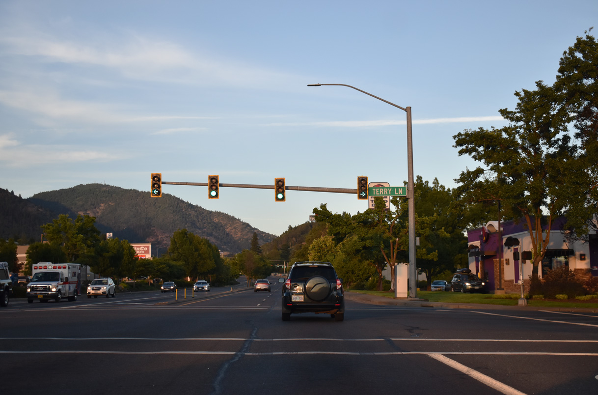
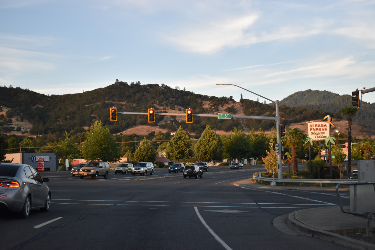
Terry Lane intersects U.S. 199 adjacent to retail areas between D and F Streets.
07/15/23
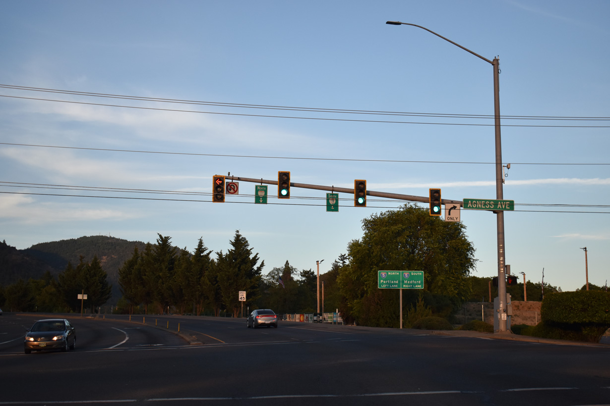
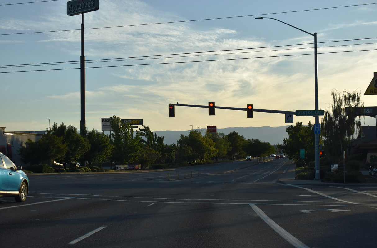
Agness Avenue links sections of Foothill Boulevard disconnected by the original construction of the exchange joining U.S. 199 with Interstate 5.
07/15/23
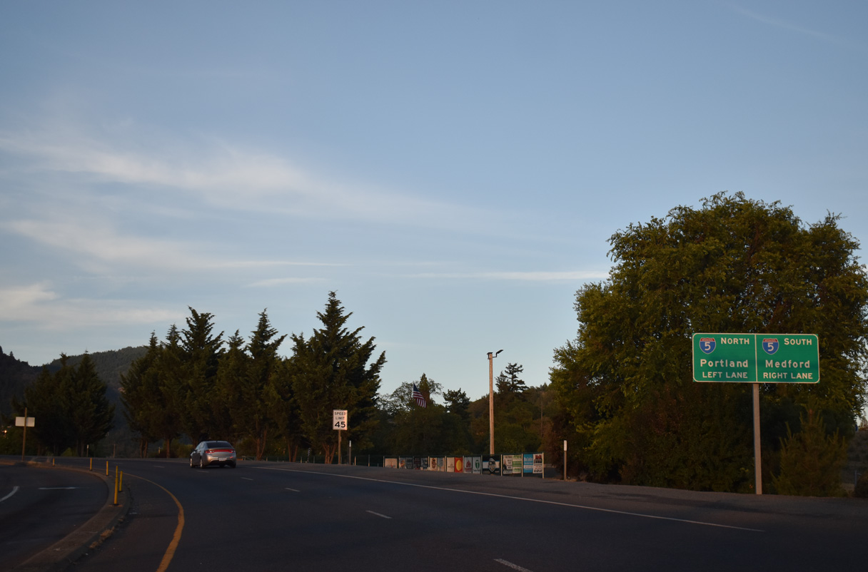
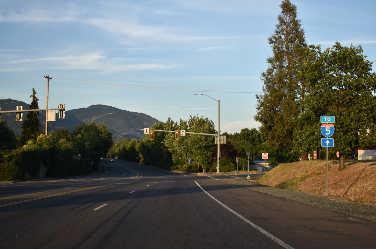
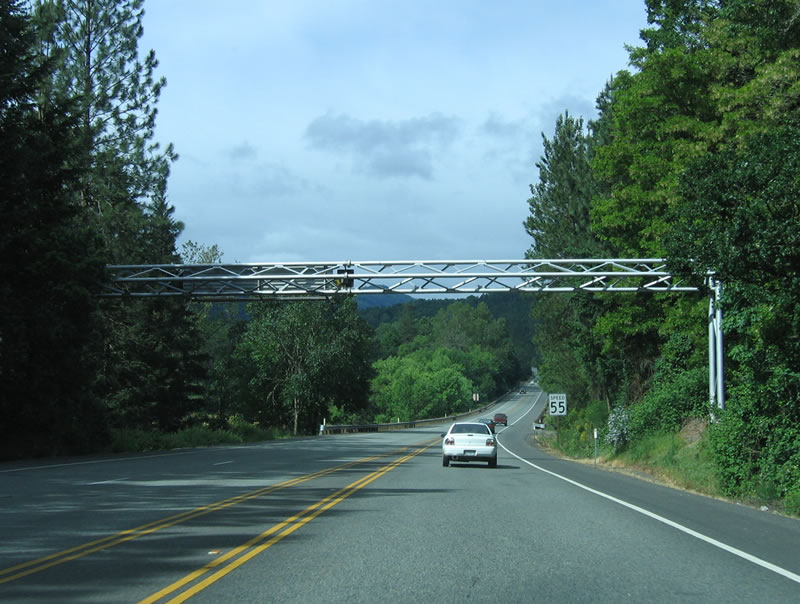
U.S. 199 ties into Interstate 5 at a trumpet interchange (Exit 55) east of Agness Avenue.
07/15/23
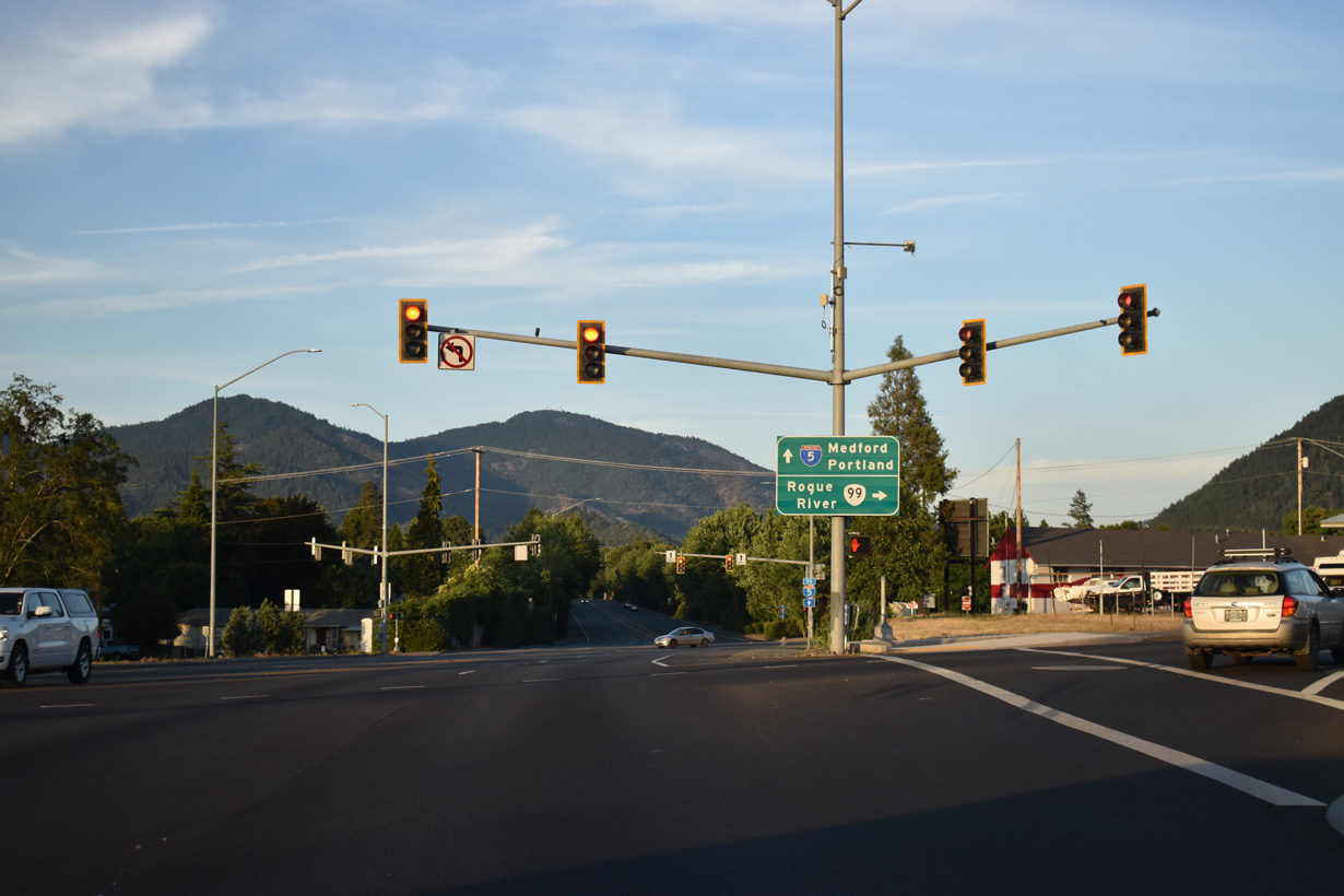
U.S. 199 concludes where entrance ramps separate for I-5 south to Medford and I-5 north to Eugene, Salem and Portland.
07/15/23
Grants Pass Parkway - South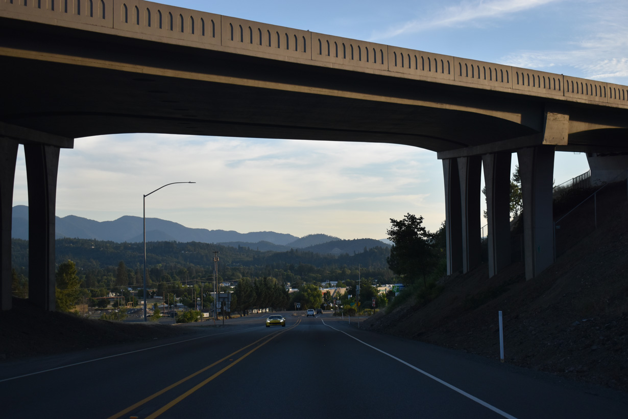
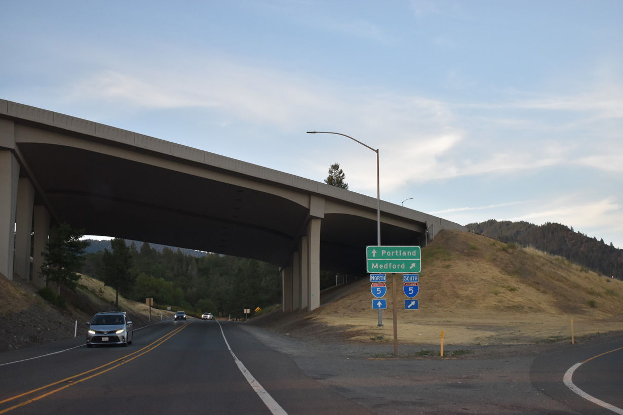
Southbound U.S. 199 (Redwood Highway) begins at a trumpet interchange (Exit 55) with Interstate 5.
07/15/23

Forthcoming Agness Avenue provides connections from U.S. 199 (Grants Pass Parkway) to Foothill Boulevard, a parallel roadway to I-5 from Grants Pass east to Rogue River. Foothill Boulevard became discontinuous with the construction of the exchange joining I-5/U.S. 199.
07/15/23
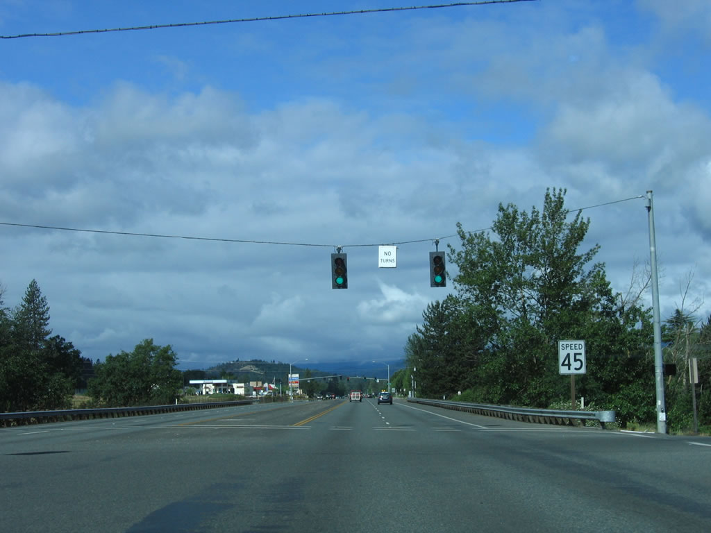
The first reassurance marker for U.S. 199 south precedes Agness Avenue along Grants Pass Highway westbound. U.S. 199 bypasses Downtown Grants Pass to the southeast between Beacon Drive and OR 99 (Rogue River Highway).
03/31/05
Foothill Boulevard extends from Agness Avenue at nearby Fairview Avenue. Agness Avenue south intersects the continuation of Foothill Boulevard east at F Street.
07/15/23
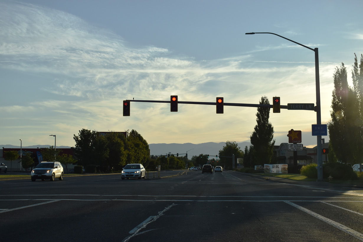
Grants Pass Parkway advances west from Agness Avenue through a large area of shopping centers, fast food restaurants and other businesses. The succeeding traffic light on U.S. 199 southbound operates at Terry Lane.
07/15/23
U.S. 199 (Grants Pass Parkway) southbound at Beacon Drive.
07/15/23
F Street leads west to Downtown Grants Pass. U.S. 199 used to follow F Street west to an overlap with OR 99 south on 6th Street.
07/15/23
Turning south through an S-curve, U.S. 199 spans the Central Oregon & Pacific Railroad ahead of M Street.
07/15/23
U.S. 199 crosses the Rogue River south between M Street and Baker Park.
07/15/23
Parkdale Drive provides a cut off from U.S. 199 (Redwood Highway) to OR 99 southbound along Rogue River Highway.
07/15/23
Park Street parallels U.S. 199 west from Parkdale Drive to OR 99 (7th Street) north at Riverside Park.
07/15/23
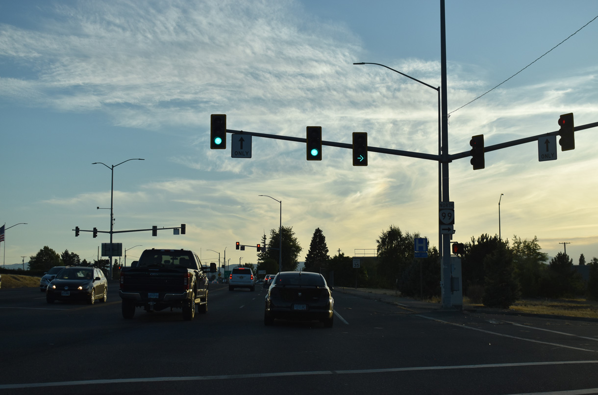
U.S. 199 intersects OR 99 (Rogue River Highway) northbound directly. The state route separates along the couplet of 6th/7th Streets through Downtown Grants Pass.
07/15/23
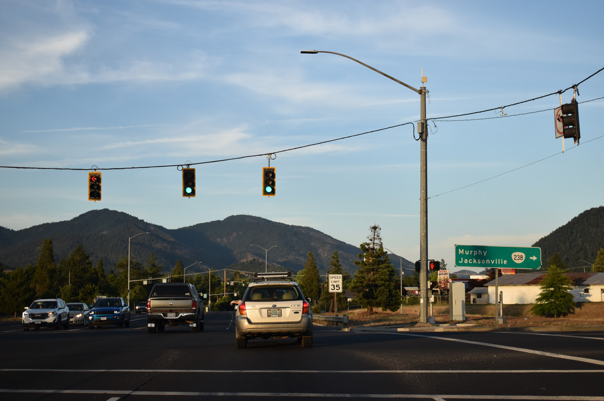
Passing below the signalized intersection along U.S. 199 south at OR 99 (Rogue River Highway) southbound, ramps connect U.S. 199 north and OR 238 (Williams Highway) north with OR 99 (7th Street) northbound at Park Street.
07/15/23

SR 238 (Williams Highway) begins south from U.S. 199 at 6th Street. The state route follows the Applegate River southeast from Murphy to Applegate before turning northeast to Jacksonville and Medford.
07/15/23
Redwood Highway - South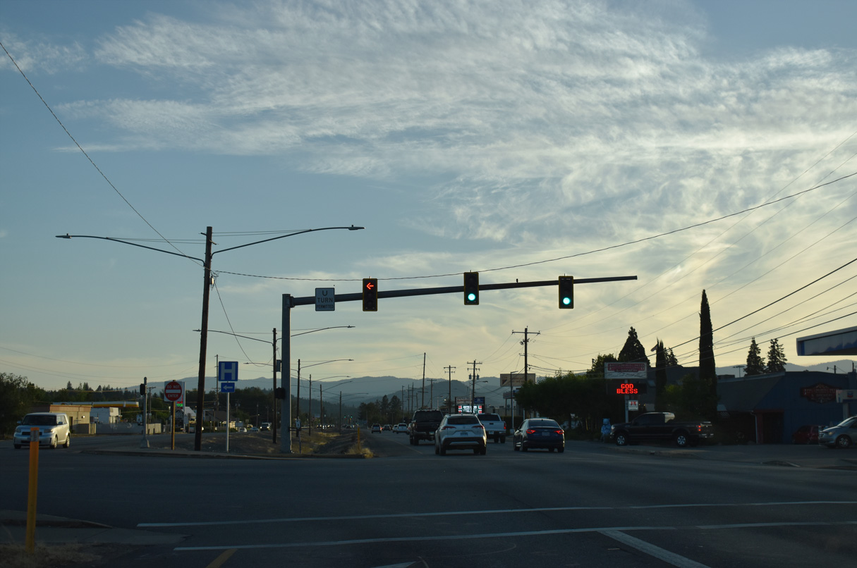
U.S. 199 (Redwood Highway) intersects Ringuette Street south of the Josephone County Public Works complex.
07/15/23
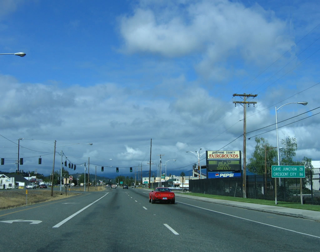
The signalized intersection for the Josephine County Fairgrounds following this distance sign for Cave Junction was modified to eliminate the traffic light and cross traffic by 2017.
05/28/06
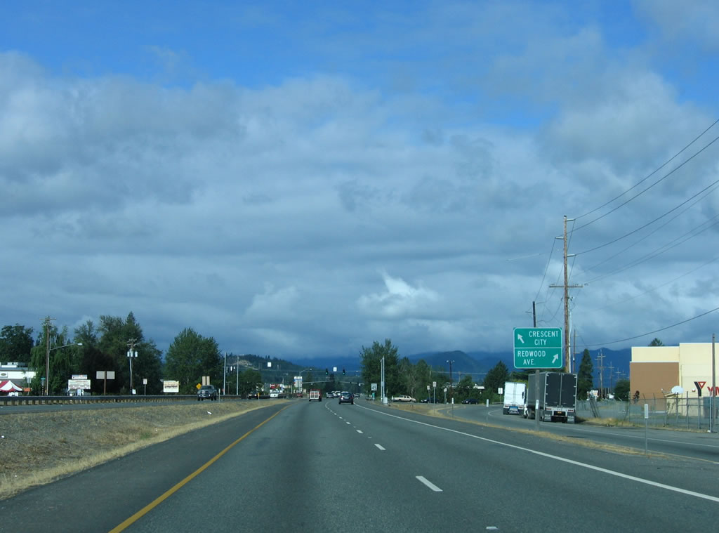
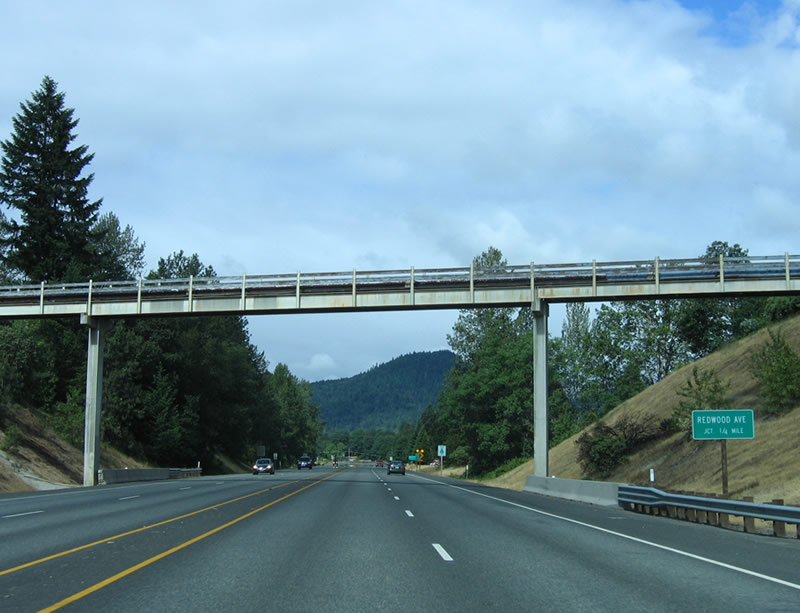
An old alignment of U.S. 199 branches due west along Redwood Avenue near milepost 1, while Redwood Highway remains southwest. Redwood Avenue returns to U.S. 199 beyond milepost 5.
05/28/06
A traffic signal operates where Redwood Avenue (old U.S. 199) east converges with U.S. 199.
05/28/06

A signalized intersection joins U.S. 199 (Redwood Highway) adjacent to a shopping center.
05/28/06
Brookings is 101 miles away via U.S. 101 north from Crescent City, California.
05/28/06
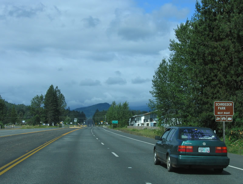
U.S. 199 south meets Willow Lane after the traffic signal with Dowell Road. UWillow Lane north leads to Schroeder Park, which provides access to the Rogue River (boat ramp), picnic areas, and other day use activities.
05/28/06
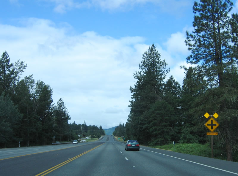
U.S. 199 continues south as an undivided expressway. The next three intersections are Hubbard Lane, Dawn Drive and Midway Avenue. This expressway segment has a painted median and is built on a level route. Redwood Avenue, the old U.S. 199 alignment, remains to the north.
05/28/06
Redwood Avenue (Old U.S. 199) shifts to the south of U.S. 199. A flue crosses over the highway at this point as well (it is not a highway overpass).
05/28/06
The next three intersections along the expressway on U.S. 199 south are at Robinson Road, Applegate Avenue and Helms Road.
05/28/06
Helms Road links U.S. 199 with Redwood Avenue (Old U.S. 199) back to the east.
05/28/06
Beyond Helms Road, U.S. 199 reverts to a two lane rural highway. The speed limit is 55 miles per hour.
05/28/06
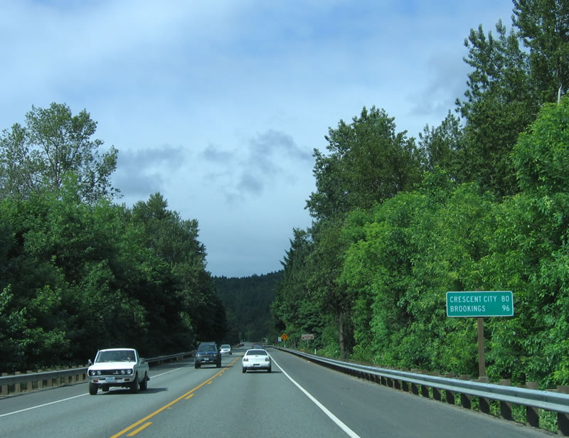
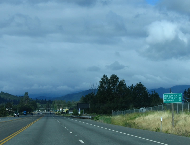
Distance sign referencing Crescent City, California (80 miles) and Brookings (96 miles), with Cave Junction omitted.
05/28/06
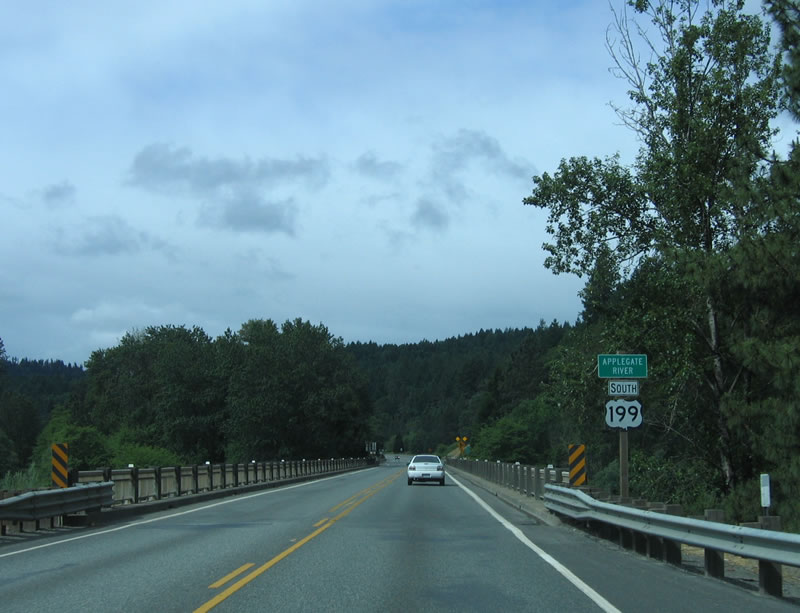
U.S. 199 reassurance shield formerly posted at the Applegate River.
05/28/06
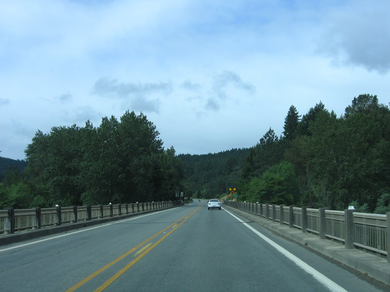
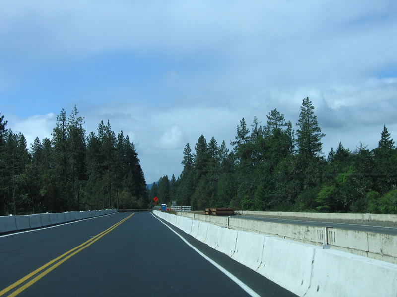
The bridge taking U.S. 199 across the Applegate River was replaced by 2015. The older guardrail on the previous span was typical of that era of highway bridge. OR 260 (Rogue River Loop) ties into U.S. 199 just west of the river
05/28/06
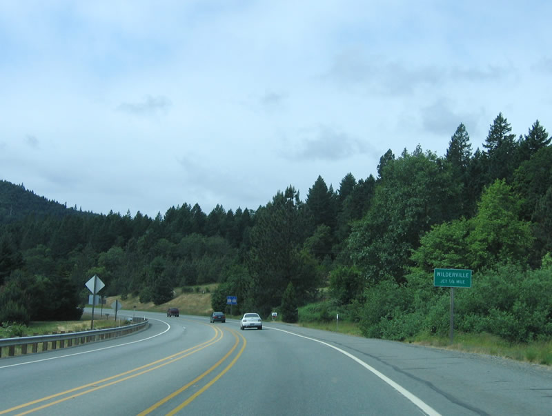
Old Redwood Highway separates from U.S. 199 south in a quarter mile to Wilderville.
05/28/06

Old Redwood Highway is a former alignment of U.S. 199.
05/28/06
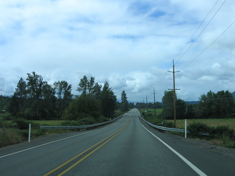
Continuing southwest from old alignment of U.S. 199, U.S. 199 climbs a grade before entering Illinois Valley.
05/28/06
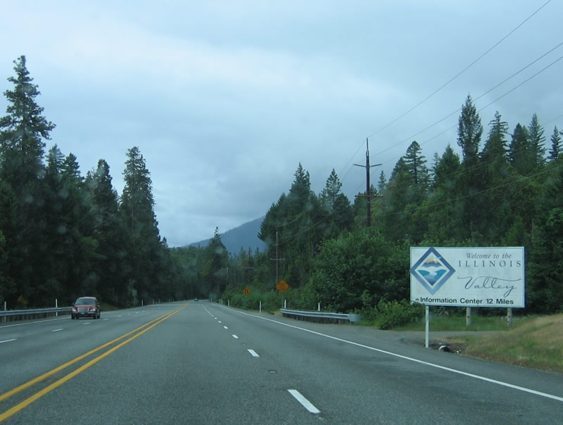
Turning south toward Selma and Cave Junction, U.S. 199 enters Illinois Valley.
05/28/06
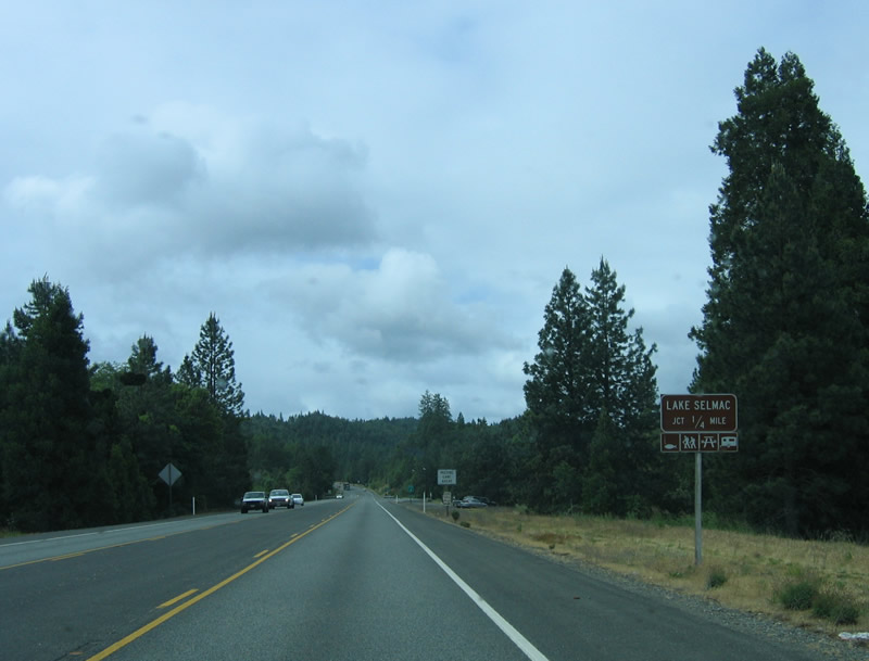
Continuing south on U.S. 199 at the turn off for Lake Selmac. Fishing, hiking, and picnicking are among the activities at the lake.
05/28/06
Passing through a mixture of forested and flat areas, U.S. 199 advances south to Selma.
05/28/06

Southbound U.S. 199 enters unincorporated Selma.
05/28/06
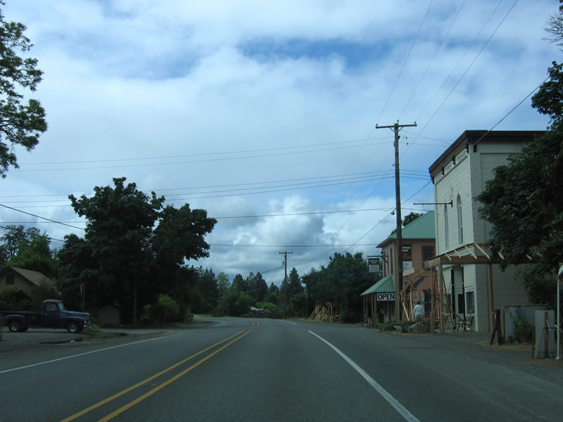
A few shops line U.S. 199 (Redwood Highway) through the rural community of Selma.
05/28/06

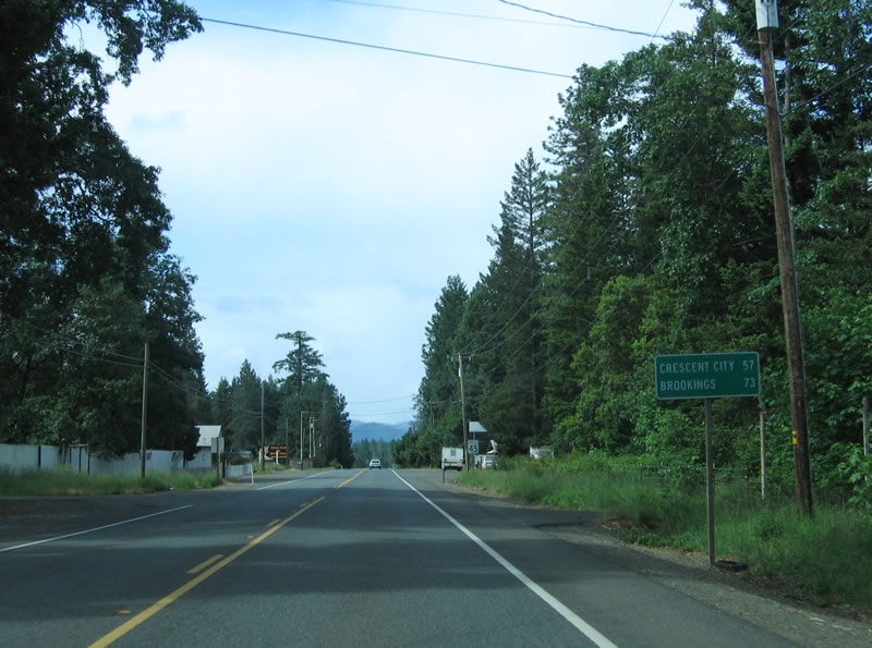
Cave Junction lies two miles beyond Selma, while Crescent City is 60 miles away.
05/28/06
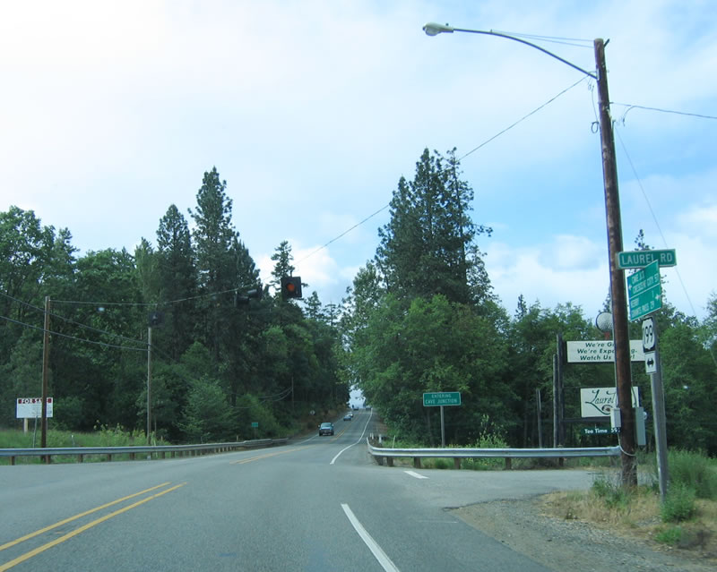
A flashing beacon operates at U.S. 199 and Laurel Road.
05/28/06
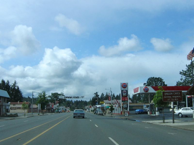
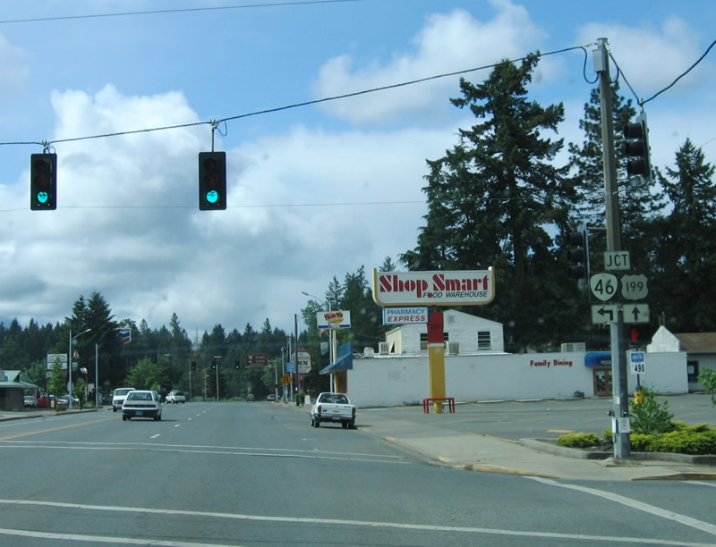
The main intersection along U.S. 199 (Redwood Highway) at Cave Junction is with OR 46 east to Oregon Caves National Monument.
05/28/06
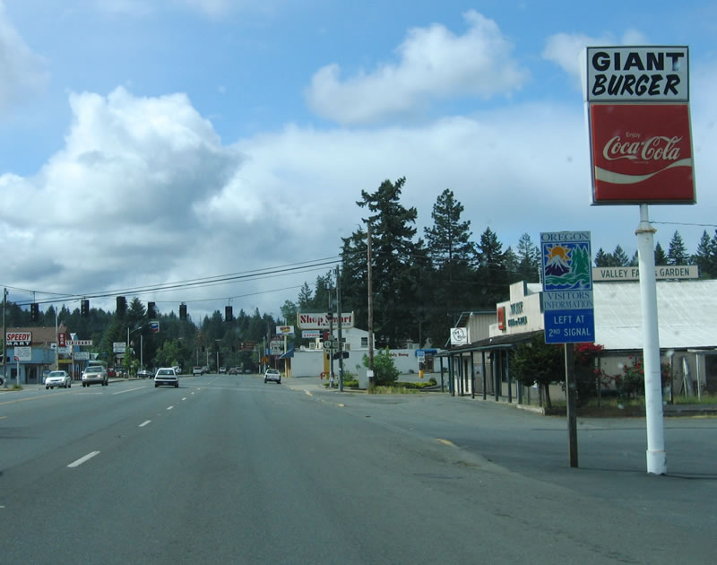
An Oregon Visitors Center is located at the intersection of U.S. 199 and OR 46.
05/28/06
Southbound U.S. 199 (Redwood Highway) meets Watkins Street at this signalized intersection just ahead of OR 46.
05/28/06
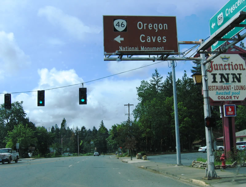
OR 46 (Caves Highway) travels east to Oregon Caves National Monument. OR 46 ends at the national monument and does not connect with other state routes.
05/28/06
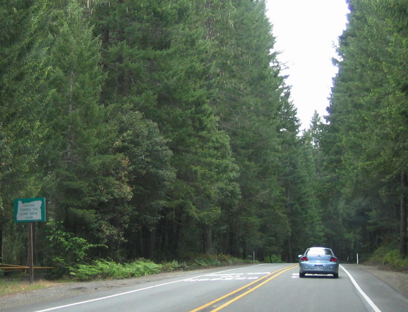
U.S. 199 leaves Cave Junction south en route through national forest land toward California. Limited services are available until reaching Gasquet or Crescent City.
05/28/06
Several bridge replacement projects were underway in 2006 along U.S. 199 in southern Oregon. For these replacements, a temporary bridge was erected next to the old bridge, and the old bridge was upgraded to current state standards.
05/28/06
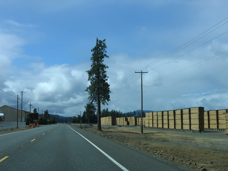
Stacks of lumber line the highway as U.S. 199 travels south through the lumber producing forests of southwestern Oregon.
05/28/06
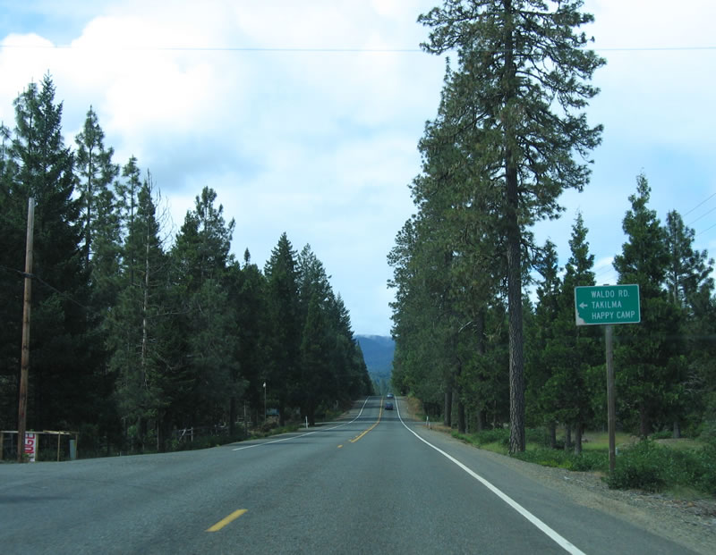
Southbound U.S. 199 (Redwood Highway) meets Waldo Road at this intersection. Waldo Road travels to Takilma and Happy Camp.
05/28/06
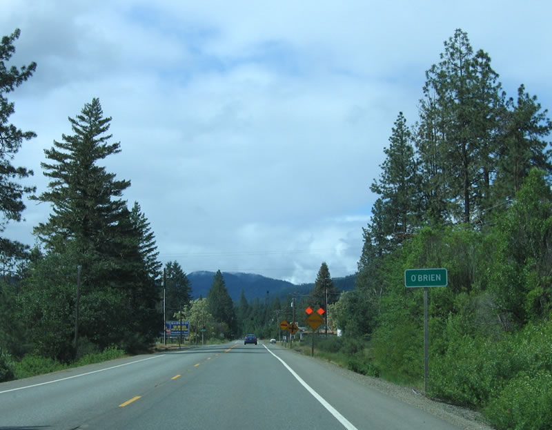
Entering unincorporated O'Brien, U.S. 199 approaches O'Brien Road and a single gas station on the right (west) side of the highway.
05/28/06
A bridge completed in 2006 carries U.S. 199 south.
05/28/06

A few miles further south, U.S. 199 uses an older bridge to cross Elk Creek. This is the last reassurance shield for U.S. 199 within the state of Oregon.
05/28/06
Southbound U.S. 199 (Redwood Highway) enters the Golden State of California.
05/28/06
Photo Credits:
- Brent Ivy: 07/15/23
- AARoads: 03/31/05
- Andy Field, Joel Windmiller: 05/28/06
Connect with:
Page Updated Monday August 18, 2025.