
Route 126 East

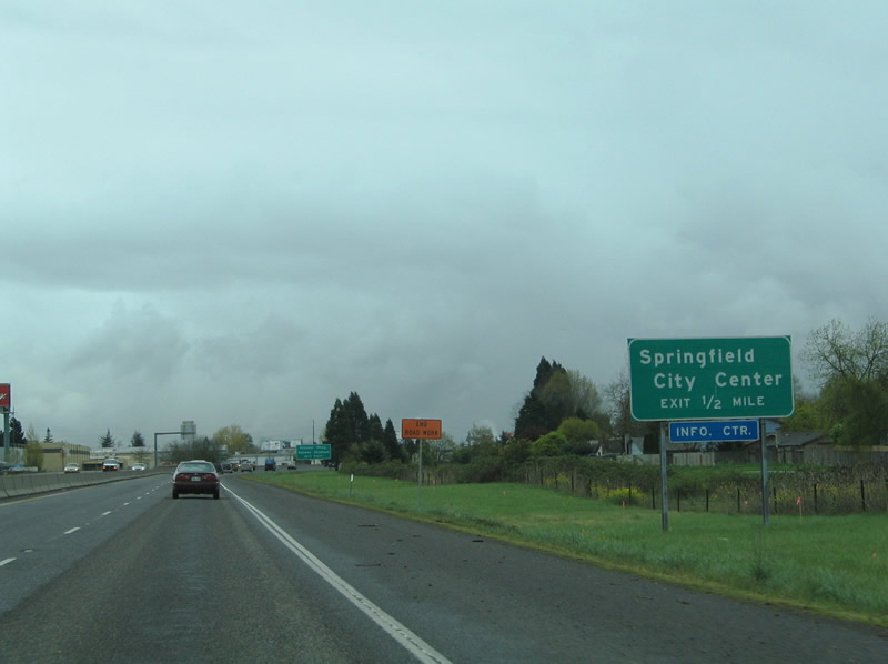
OR 126 continues east from the exchange with I-5/105 into the city of Springfield.
04/01/05
Pioneer Parkway meets OR 126 at the succeeding exit east of Interstate 5. The north to south arterial serves Downtown Springfield.
04/01/05
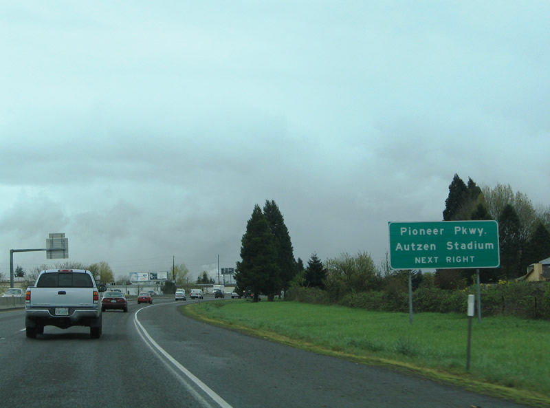
Pioneer Parkway south to Centennial Boulevard west provides an alternate route to Autzen Stadium in Eugene. Centennial Boulevard travels west from 28th Street in Springfield to Coburg Road in Eugene.
04/01/05
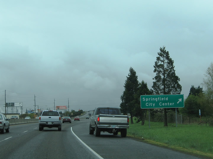
Eastbound at the modified diamond interchange with Pioneer Parkway on OR 126. Pioneer Parkway partitions into a couplet upon entering Downtown Springfield. The road ends at OR 126 Business (Main Street) and S 2nd Street. Northward the road ends at Hayden Bridge Way within one half mile.
04/01/05
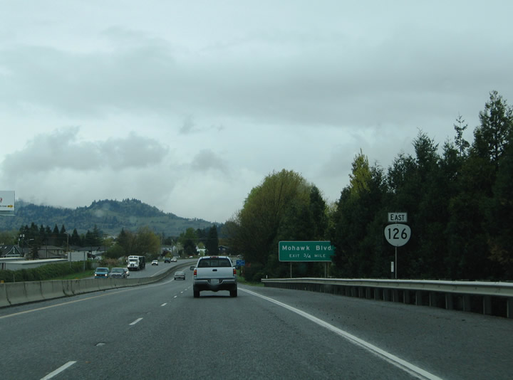
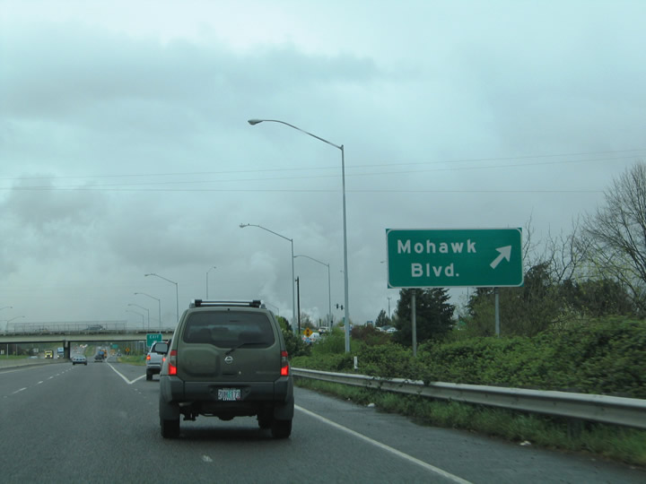
OR 126 continues one half mile east to the diamond interchange with Mohawk Boulevard. Mohawk Boulevard angles northeast from the intersection of 14th and G Streets to the freeway at 19th Street.
04/01/05
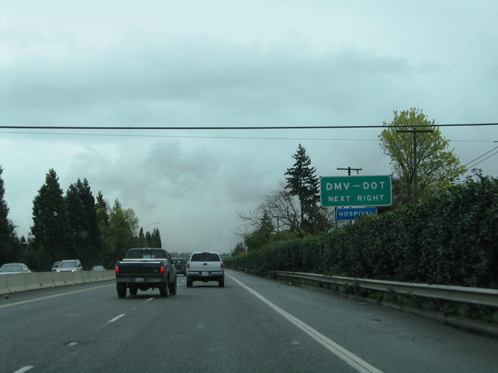
OR 126 advances east to Mohawk Boulevard. Oregon signs exits that serve division of motor vehicles and department of transportation facilities well.
04/01/05
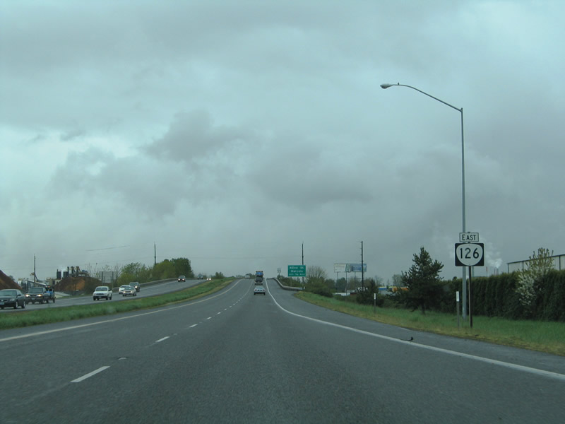
Mohawk Boulevard travels 1.5 miles from G Street to 28th Street and Marcola Road. 19th Street ties into the road from Hayden Bridge Way and Yolanda Avenue to the north.
04/01/05
OR 126 reassurance marker preceding the 28th Street and Union Pacific Railroad under crossing.
04/01/05
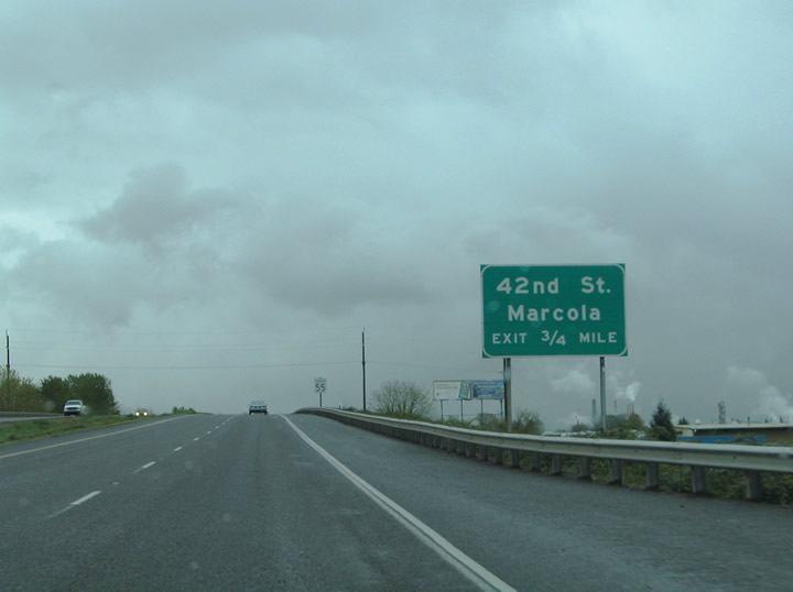
A folded diamond interchange link OR 126 east next with 42nd Street. 42nd Street runs 2.4 miles north from Jasper Road to Marcola Road in east Springfield.
04/01/05
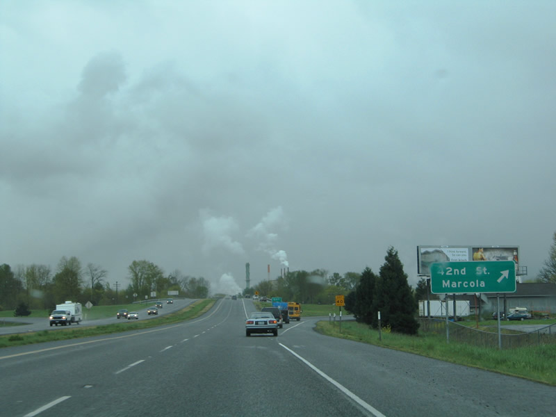
Olympic Street intersects 42nd Street on the south side of OR 126. Marcola Road extends east from Mohawk Boulevard at 28th Street to 42nd Street. Ten miles north of 42nd Street is the community Marcola via Marcola Road.
04/01/05
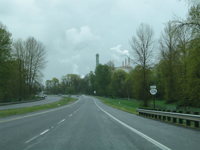
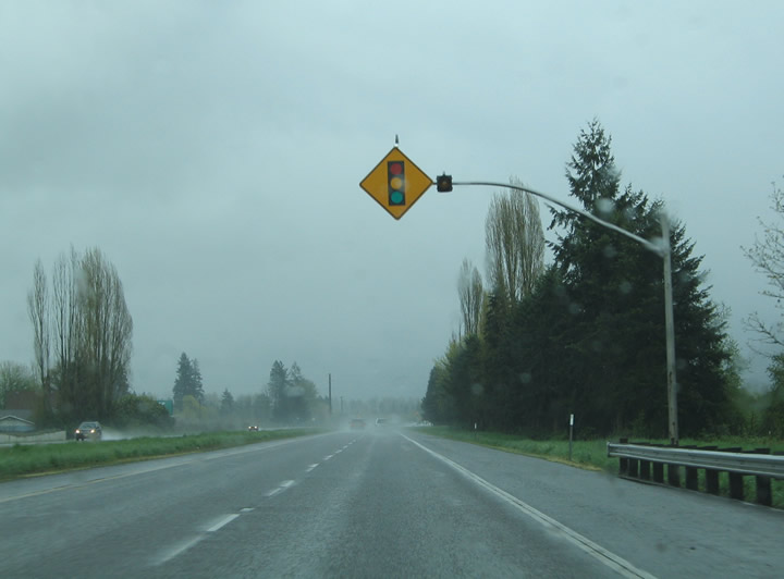
OR 126 straddles the McKenzie River and Log Pond between 42nd and 52nd Streets.
04/01/05
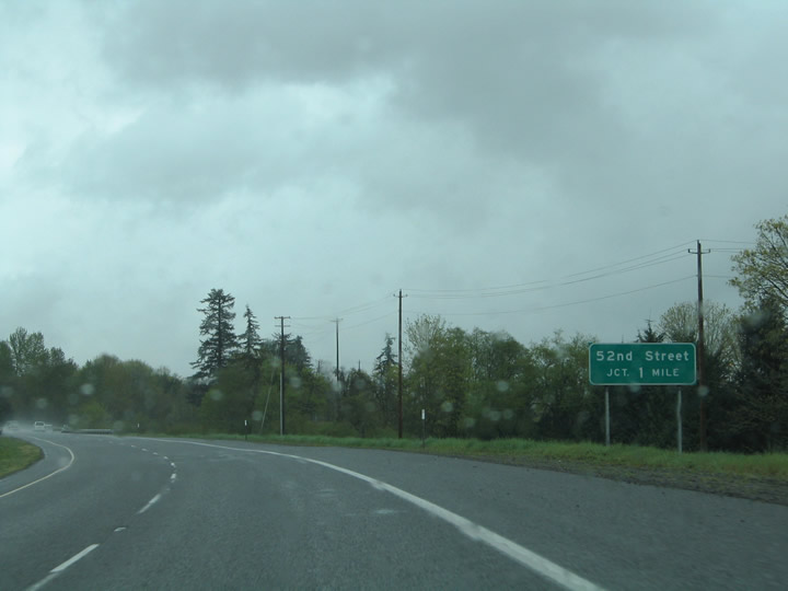
The freeway along OR 126 ends at 52nd Street. Many maps incorrectly show a grade separation at 52nd Street and the freeway continuing to OR 126 Business (Main Street).
04/01/05
A signalized intersection joins OR 126 east with 52nd Street south to G Street and north to Highbanks Road. OR 126 turns southward from here to OR 126 Business (Main Street).
04/01/05
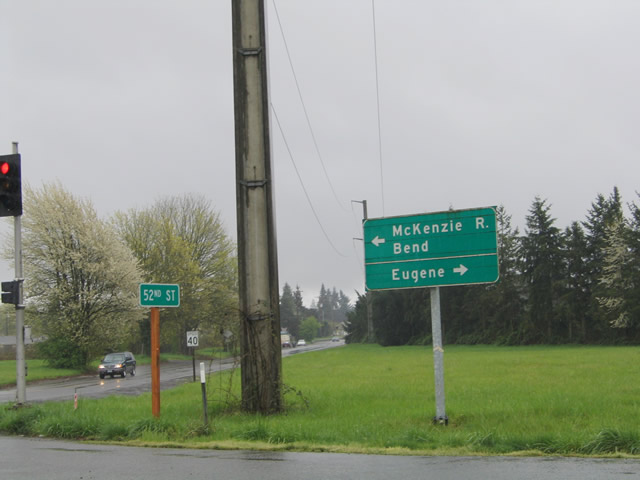
A button copy guide sign posted at 52nd Street and OR 126 in east Springfield. OR 126 leaves the Springfield area along McKenzie Highway, named for the parallel river in which the road travels. OR 126, in conjunction with U.S. 20, leads east to Bend.
04/01/05
Photo Credits:
- AARoads: 04/01/05
Connect with:
Page Updated Wednesday November 17, 2010.