
Route 340

Traveling 30.1 miles, PA 340 mirrors the route of U.S. 30 east from Lancaster to Thorndale. The state route follows Old Philadelphia Pike through Lancaster County and Kings Highway through most of Chester County. Communities along the way include Smoketown, Bird in Hand, Intercourse, White Horse, Compass and Wagontown. The state route ends at PA 462 (Lincoln Highway) in Lancaster to the west and at U.S. 30 Business (Lincoln Highway) in Thornburg to the east.
Historically, PA 340 extended west from Lancaster along PA 23 (Marietta Avenue) to PA 441 at Marietta.
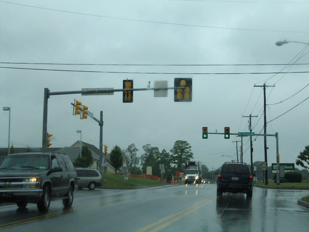
Advancing one half mile west from PA 896 (Eastbrook Road), PA 340 (Old Philadelphia Pike) meets Mt. Sidney Road. Mt. Sidney Road (SR 1005) leads north to Witmer and Horseshoe Road (SR 1003) at Hartman Station Road.
06/03/05
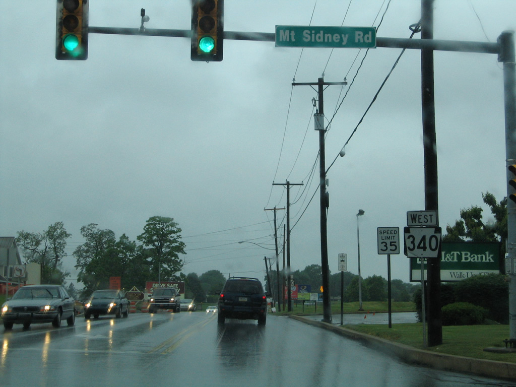
Reassurance marker for PA 340 west posted at Mt. Sidney Road. A number of businesses and residences line Old Philadelphia Pike west toward Lancaster.
06/03/05
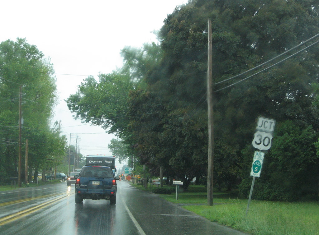
A three quarter diamond interchange joins PA 340 (Old Philadelphia Pike) with the freeway along U.S. 30.
06/03/05
PA 340 meets U.S. 30, 1.4 miles ahead of PA 462 at Lancaster. U.S. 30 splits from Lincoln Highway 0.75 miles to the south for a freeway bypass around Lancaster. An older freeway, it underwent major reconstruction around 2000.
06/03/05
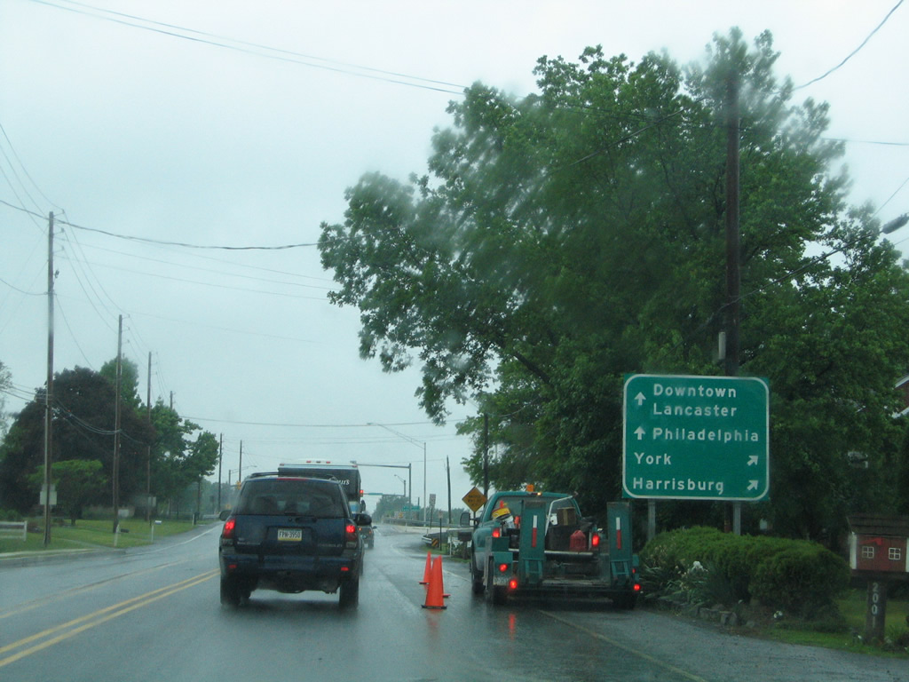
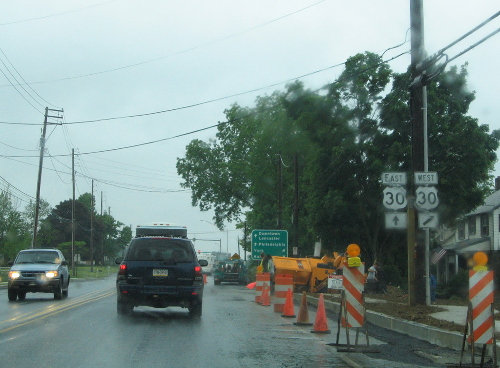
The westbound entrance ramp for U.S. 30 for York and PA 283 west to Harrisburg departs PA 340 west.
06/03/05
Photo Credits:
- Alex Nitzman: 06/03/05
Connect with:


Page Updated Monday May 20, 2013.