
Route 611

PA 611 joins Philadelphia with Easton, Stroudsburg and Tobyhanna in eastern Pennsylvania. The state route replaced U.S. 611, which was decommissioned in 1972 and formerly extended northwest to Scranton. Through Philadelphia PA 611 follows Broad Street, a major urban boulevard from I-95 at the Girard Point Bridge to South Philadelphia, City Hall and the north city line by Melrose Park.
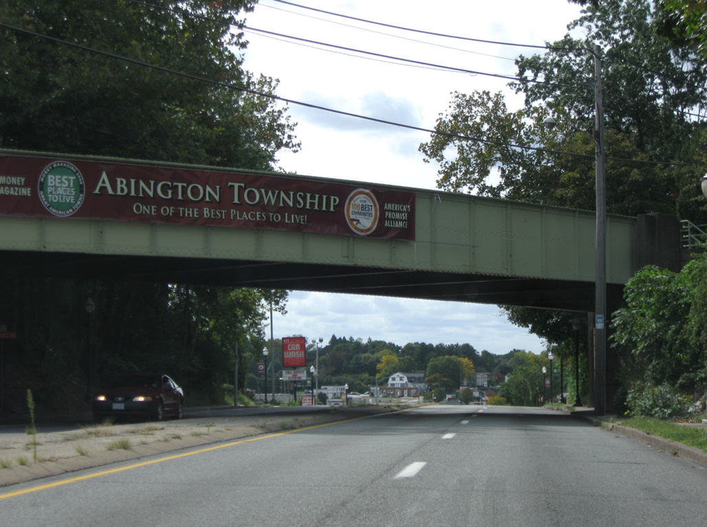
PA 611 heads north into the Montgomery County suburbs as a heavily traveled arterial route to Jenkintown, Abington, Willow Grove and Horsham. North into Bucks County, PA 611 shifts onto the Doylestown Bypass, and older freeway encircling the borough of Doylestown. The state route continues from there along Easton Road to Riegelsville along the Delaware River.
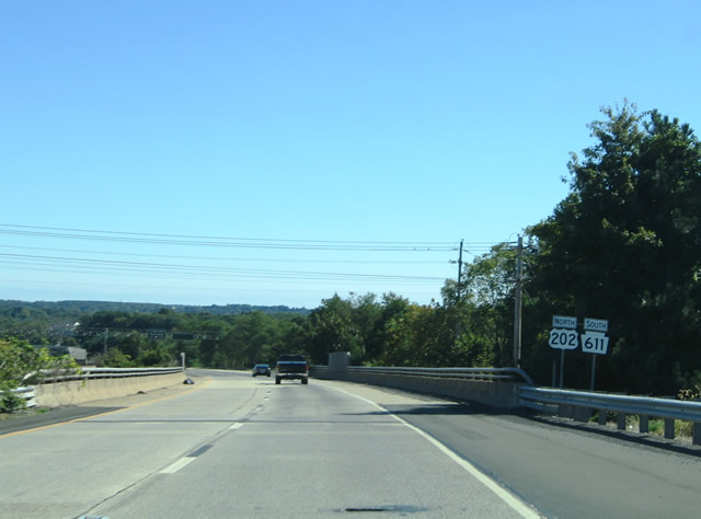
Paralleling the Delaware River and New Jersey state line, PA 611 winds northward into Easton, then northeast to Portland. U.S. 611 formerly crossed the Delaware River to Columbia, New Jersey. PA 611 stays to the west en route to Delaware Water Gap and East Stroudsburg.
Interstate 80 parallels PA 611 west to Stroudsburg and Pocono township. The state route separates from the corridor along Jonas Road north to Mt. Pocono. PA 611 then parallels I-380 north to Coolbaugh township, where the freeway replaces it. PA 435 (Drinker Turnpike) north to Covington township, Moscow and Dumore represents the northern extent of historic U.S. 611.
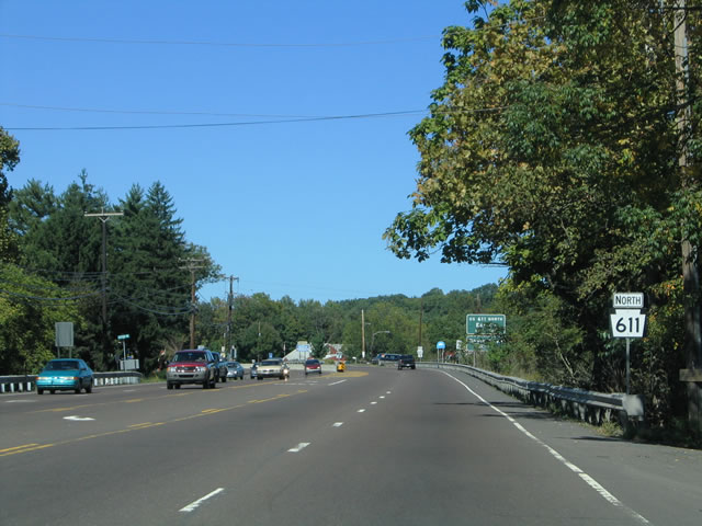
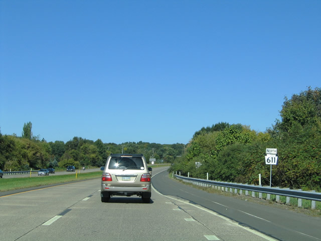
Reassurance marker formerly posted north of Edison Furlong Road (SR 2079) along Easton Road in Doylestown township.
10/03/04
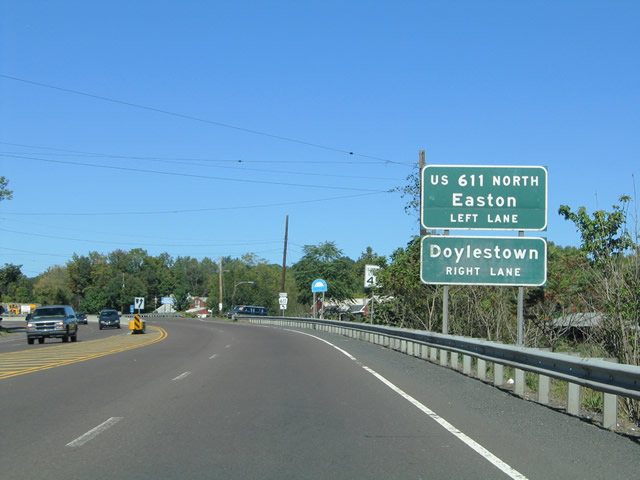
PA 611 splits with Easton Road for the Doylestown Bypass, a four lane freeway encircling Doylestown to the west.
10/03/04
Easton Road (SR 1001) heads north into Doylestown as Main Street to Downtown. Easton Road and Main Street represent the historic route of U.S. 611.
10/03/04
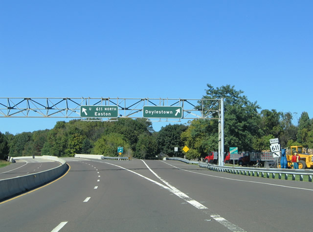
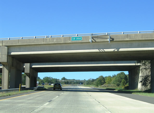
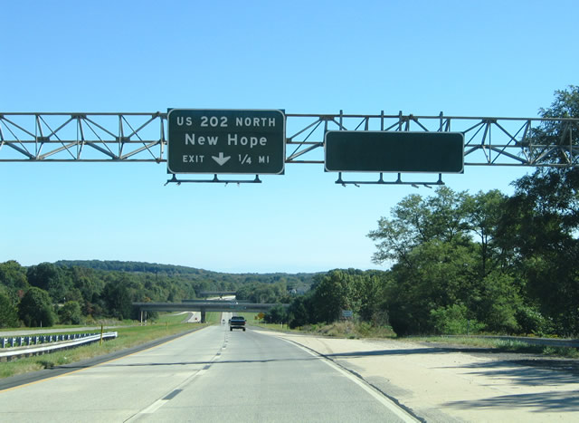
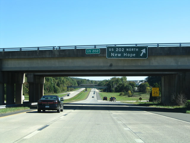
PA 611 (Doylestown Bypass) meets U.S. 202 at a cloverleaf interchange one quarter mile from the split with Easton Road.
10/03/04
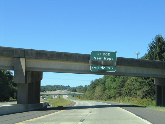
U.S. 202 bypasses Doylestown to the south along a limited access bypass from PA 611 to E State Street (SR 3002) en route to Buckingham, New Hope and Lambertville, New Jersey.
10/03/04
U.S. 202 continues south from PA 611 (Doylestown Bypass) on a controlled access two lane parkway to Montgomeryville. The Route 202 Parkway opened to traffic on December 3, 2012.
10/03/04

Prior to the completion of Route 202 Parkway, U.S. 202 south overlapped with PA 611 (Doylestown Bypass) north to W State Street.
10/03/04
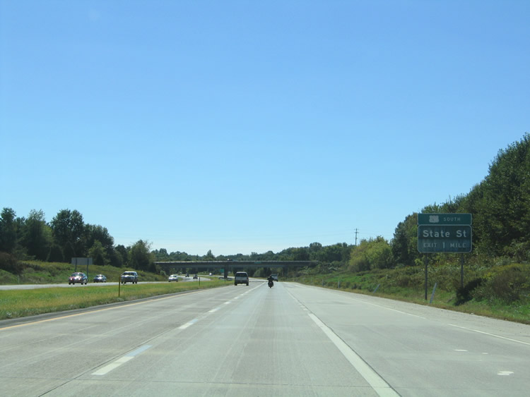
The succeeding exit from PA 611 north connects with U.S. 202 Business (State Street) south to New Britain and Chalfont and north into Doylestown.
10/03/04

A parclo B2 interchange joins PA 611 (Doylestown Bypass) with U.S. 202 Business (State Street) near Delaware Valley University.
10/03/04
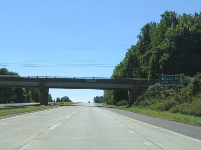
Curving northeast, PA 611 continues one mile to a diamond interchange with Broad Street.
10/03/04
PA 611 crosses Cooks Run beyond this shield assembly posted after the State Street entrance ramp.
10/03/04
The forthcoming exchange was expanded with ramps to the south of Broad Street after the original completion of the Doylestown Bypass.
10/03/04
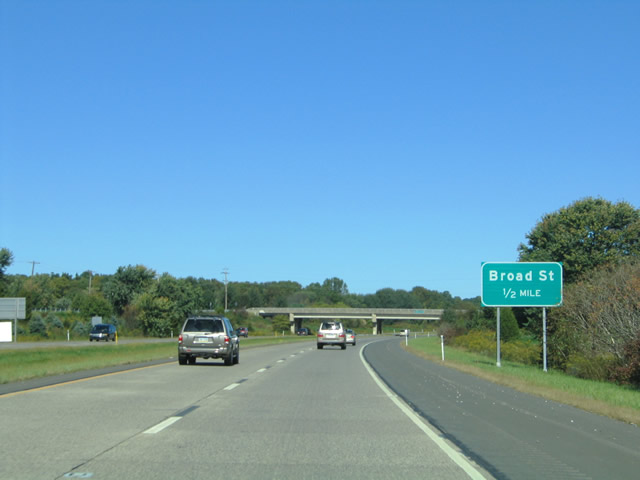
Broad Street stems northwest from U.S. 202 Business (State Street) to PA 611 and parallel Sandy Ridge Road just outside Doylestown.
10/03/04
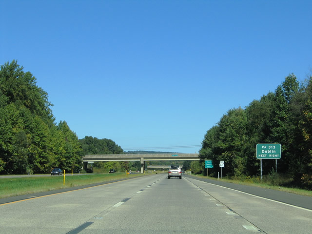
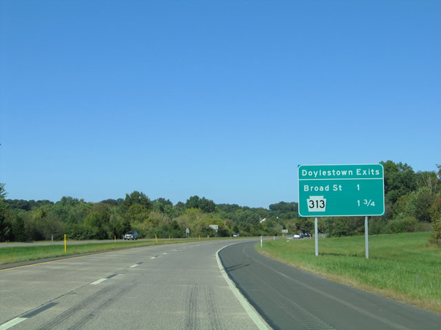
Meeting PA 611 next, PA 313 (Swamp Road) runs across the north side of Doylestown to Dublin.
10/03/04
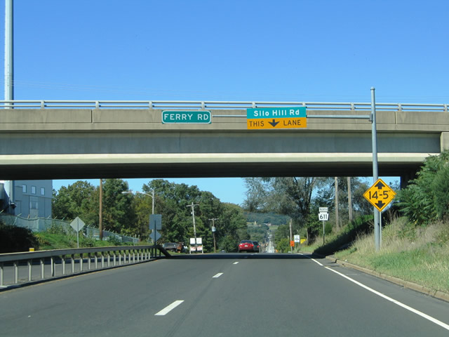
PA 611 rejoins Easton Road north at a wye interchange. The state route proceeds from the merge to a grade separation with Ferry Road / Point Pleasant Road (SR 1006). A turn off for Silo Hill Road follows.
10/03/04

PA 611 (Easton Road) widens to four lanes from the Ferry Road / Point Pleasant Pike overpass to the Doylestown Bypass.
10/03/04
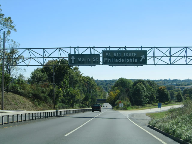
PA 611 shifts onto the freeway bypass of Doylestown to the west while Easton Road (SR 1001) branches south toward Main Street and Downtown Doylestown.
10/03/04

N Easton Road links PA 611 with PA 313 (Swamp Road). A half diamond interchange joins the two state routes in 0.8 miles.
10/03/04
The succeeding exits join PA 611 with the borough of Doylestown via Broad Street and U.S. 202 Business (State Street).
10/03/04

PA 611 crosses Swam Mill Road one mile north of the diamond interchange with Broad Street in Doylestown.
10/03/04
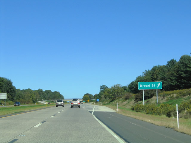
Broad Street runs south from adjacent Sandy Ridge Road to N Main Street (old U.S. 611) and State Street (U.S. 202 Business) outside Downtown Doylestown.
10/03/04
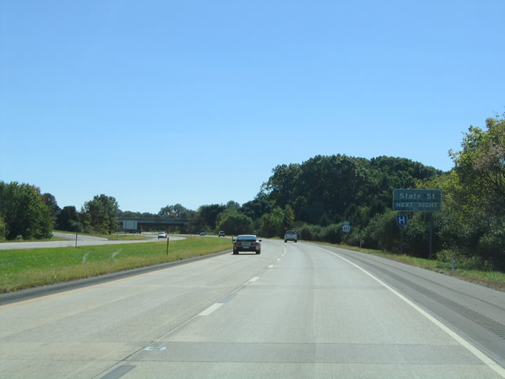
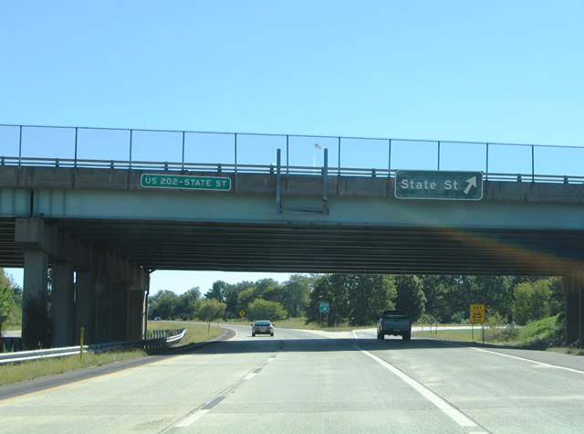
PA 611 (Doylestown Bypass) advances south to a parclo B2 interchange with U.S. 202 Business (State Street).
10/03/04
State Street leads U.S. 202 Business east to Downtown Doylestown and west to Delaware Valley University and Butler Avenue in the borough of New Britain.
10/03/04
Prior to 2012, U.S. 202 followed State Street west from PA 611 toward Chalfton and Montgomeryville. U.S. 202 also combined with PA 611 to the south leg of the Doylestown Bypass at the succeeding interchange.
10/03/04
U.S. 202 was realigned south from PA 611 onto Route 202 Parkway. The 8.4 mile long limited access parkway south to Montgomeryville opened to traffic on December 3, 2012.
10/03/04
The cloverleaf interchange linking PA 611 with U.S. 202 was partially unused until Route 202 Parkway was constructed. The parkway was built in place of a previously planned four lane expressway.
10/03/04
U.S. 202 extends from Route 202 Parkway along the Doylestown Bypass to State Street and PA 313 (Swamp Road) on the east side of Doylestown. The route continues northeast to New Hope and Flemington, New Jersey.
10/03/04

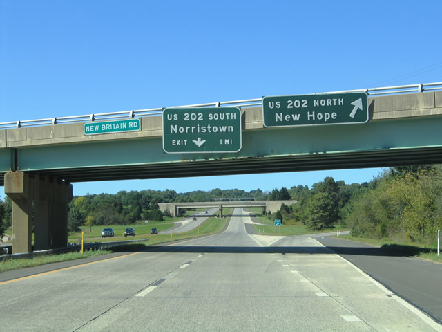
PA 611 (Doylestown Bypass) converges with S Easton Road (SR 1001) at a wye interchange beyond the New Britain Road overpass.
10/03/04
PA 611 (Easton Road) transitions onto a five lane boulevard south from the Doylestown Bypass.
10/03/04
PA 611 (Easton Road) south enters the village of Edison ahead of Edison Furlong Road (SR 2079).
10/03/04
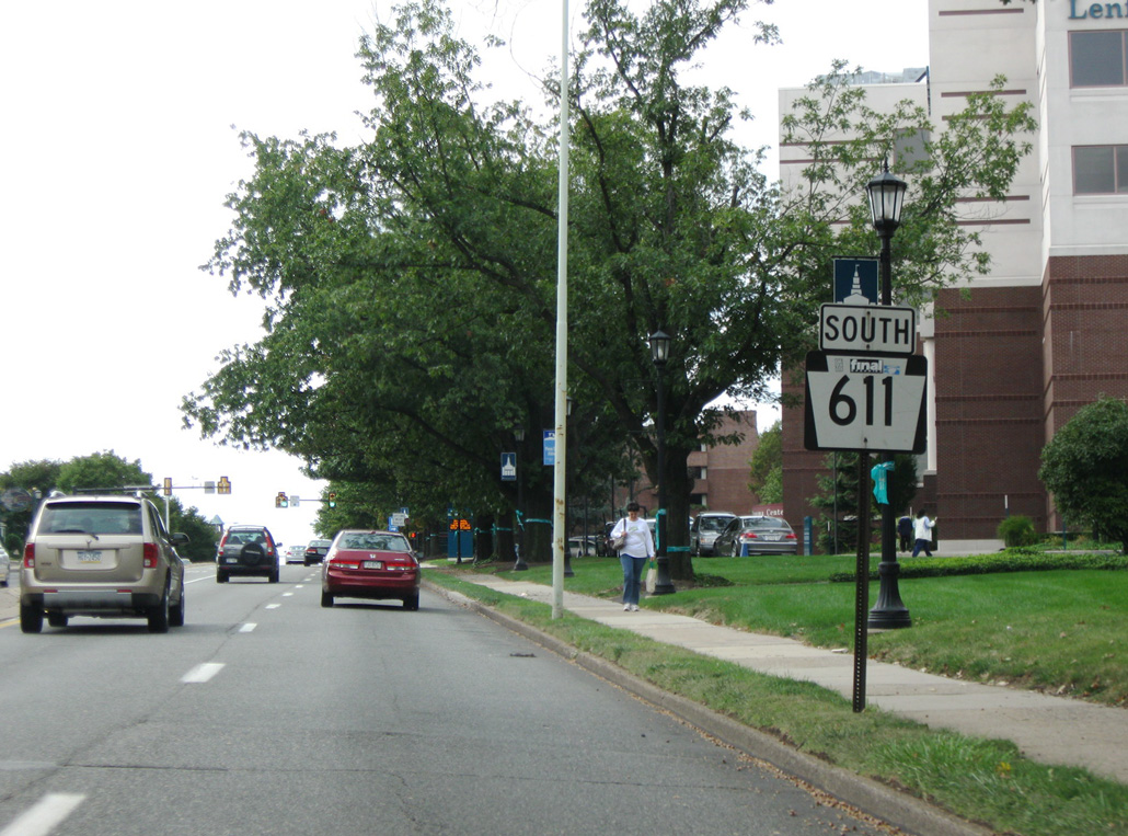
Edge Hill Road (SR 2034) spans PA 611 (Old York Road) west from PA 63 (Old Welsh Road) in Abingdon township.
09/26/09
This reassurance marker posted along Old York Road south of Keith Road by Abington Memorial Hospital was removed by 2016.
09/26/09
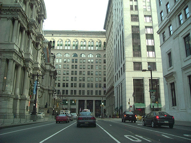
PA 611 ties into Penn Square encircling Philadelphia City Hall from Broad Street. Broad Street resumes south from Penn Square and the historic end of U.S. 611 to South Philadelphia.
12/23/01
Photo Credits:
- Alex Nitzman: 12/23/01, 10/03/04
- Brent Ivy: 09/26/09
Connect with:
Page Updated Sunday January 03, 2021.