
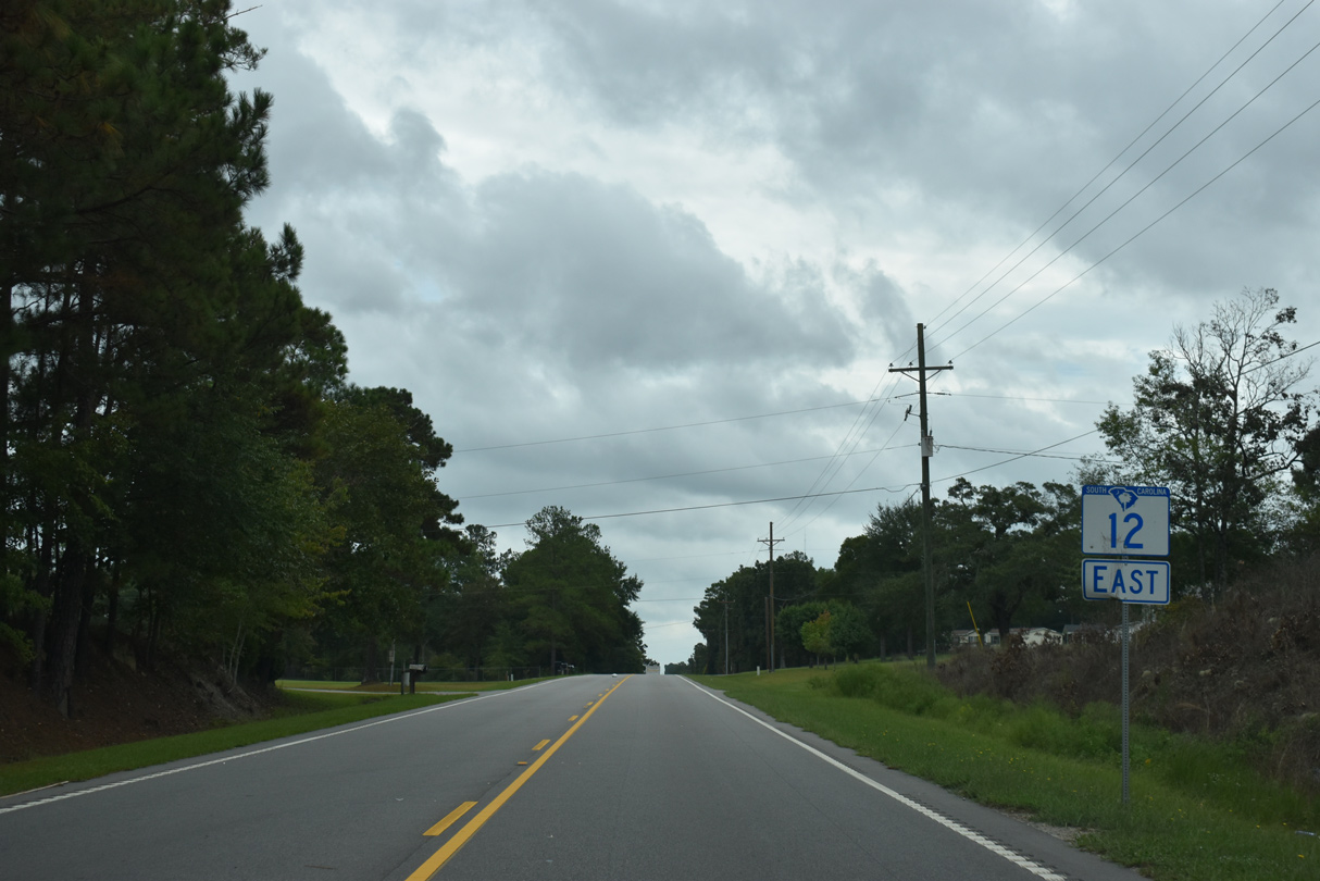
Highway 12 East

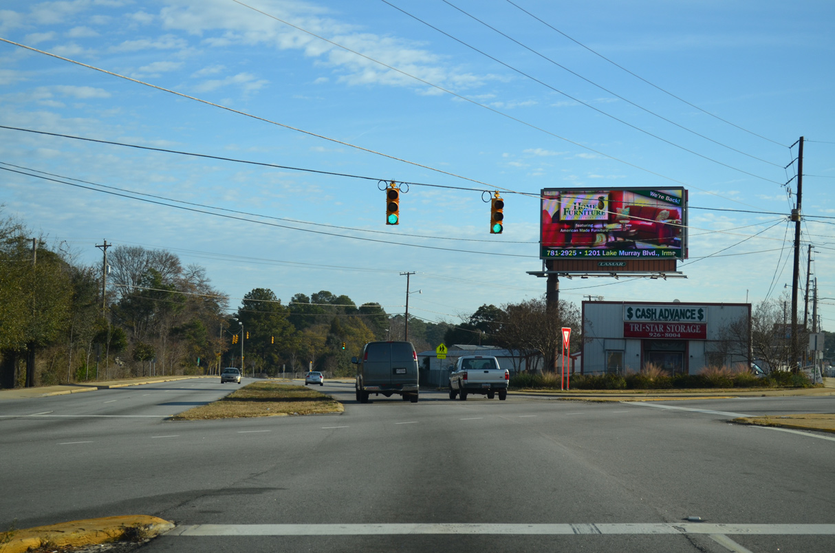
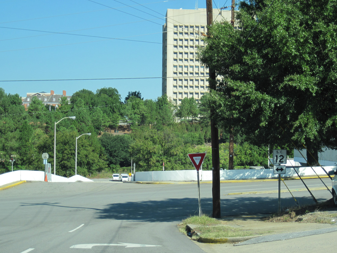
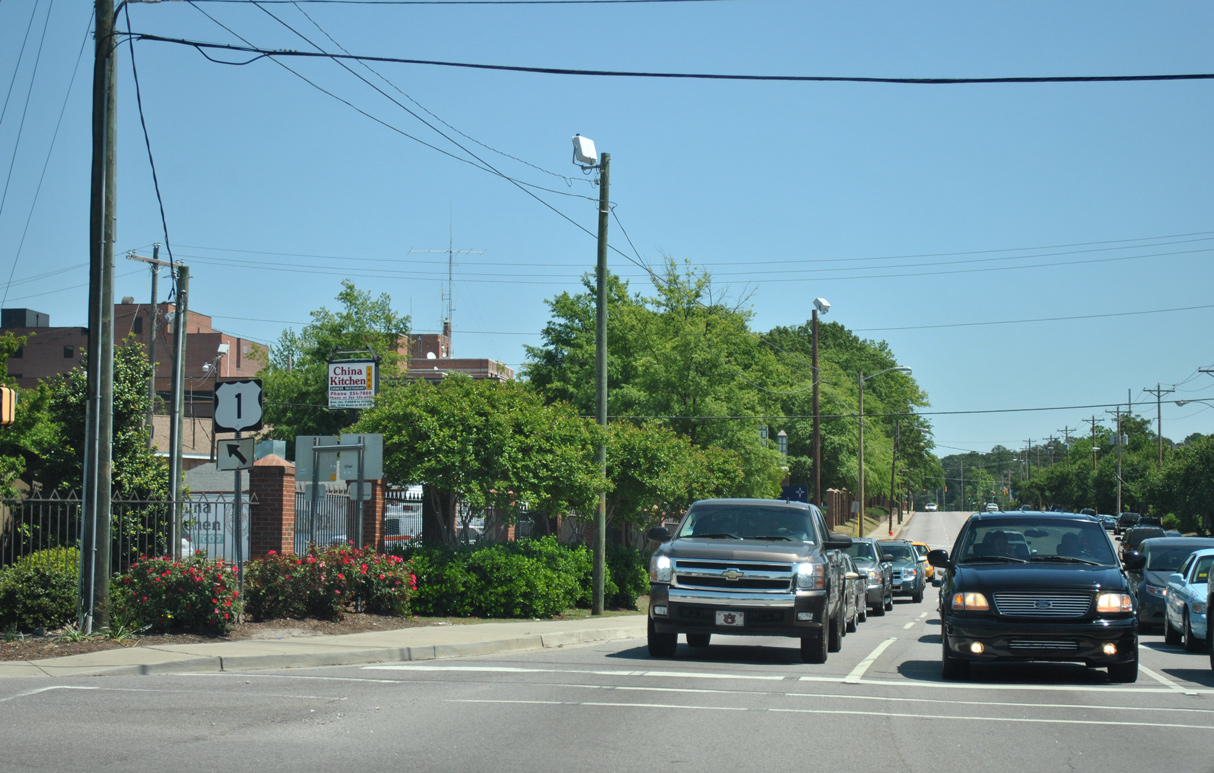
S.C. 12 (Jarvis Klapman Boulevard) separates from U.S. 1 (Augusta Road) northbound at a wye intersection.
12/31/12
12/31/12
S.C. 12 (Jarvis Klapman Boulevard) intersects Hook Avenue (Road 285) just 0.17 miles beyond U.S. 1.
12/31/12
12/31/12
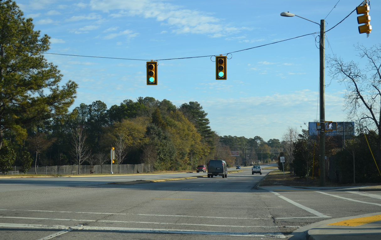
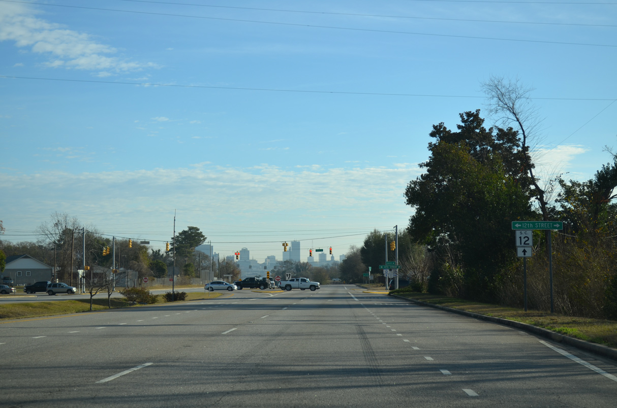
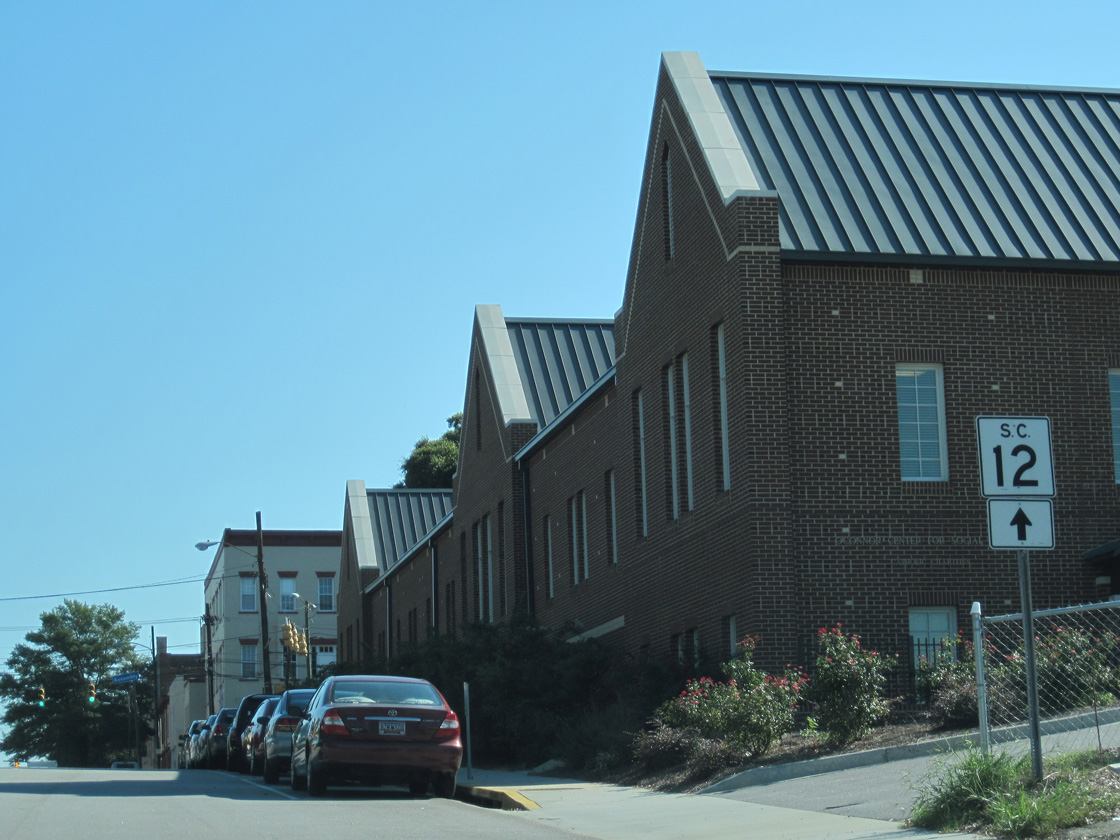
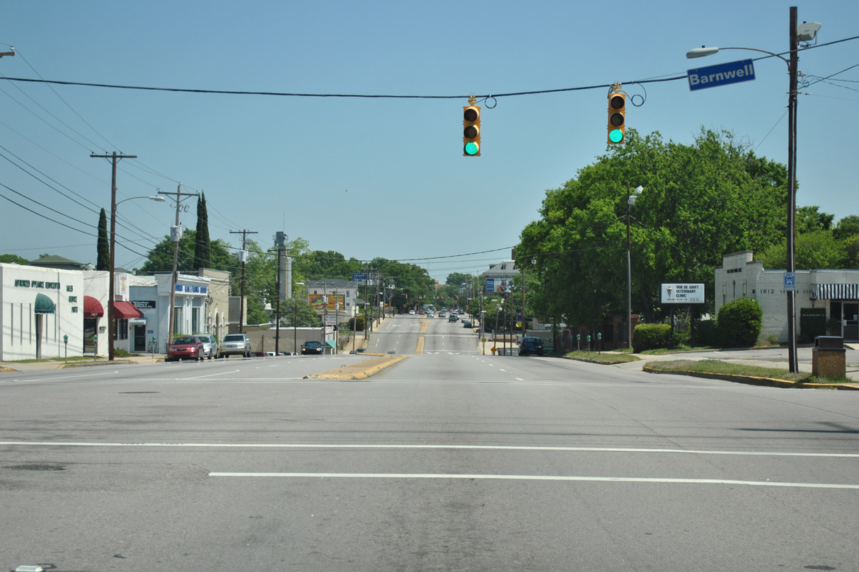
Brown Street (Road 313) is the succeeding traffic light on S.C. 12 east.
12/31/12
12/31/12
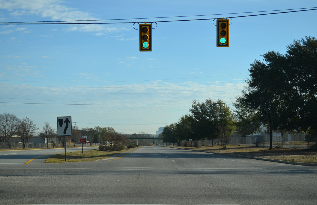
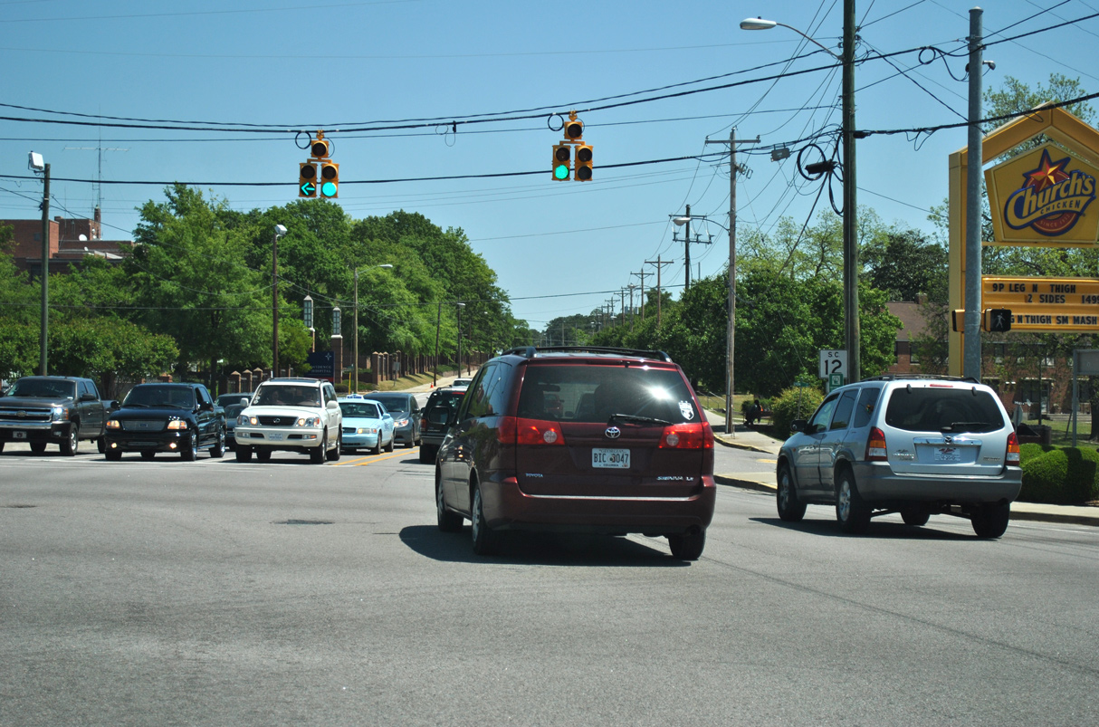
S.C. 35 stems 0.52 miles south from U.S. 378 (Sunset Boulevard) at Seminole Drive to a signalized intersection with S.C. 12.
12/31/12
12/31/12
12/31/12
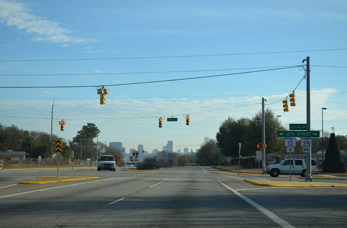
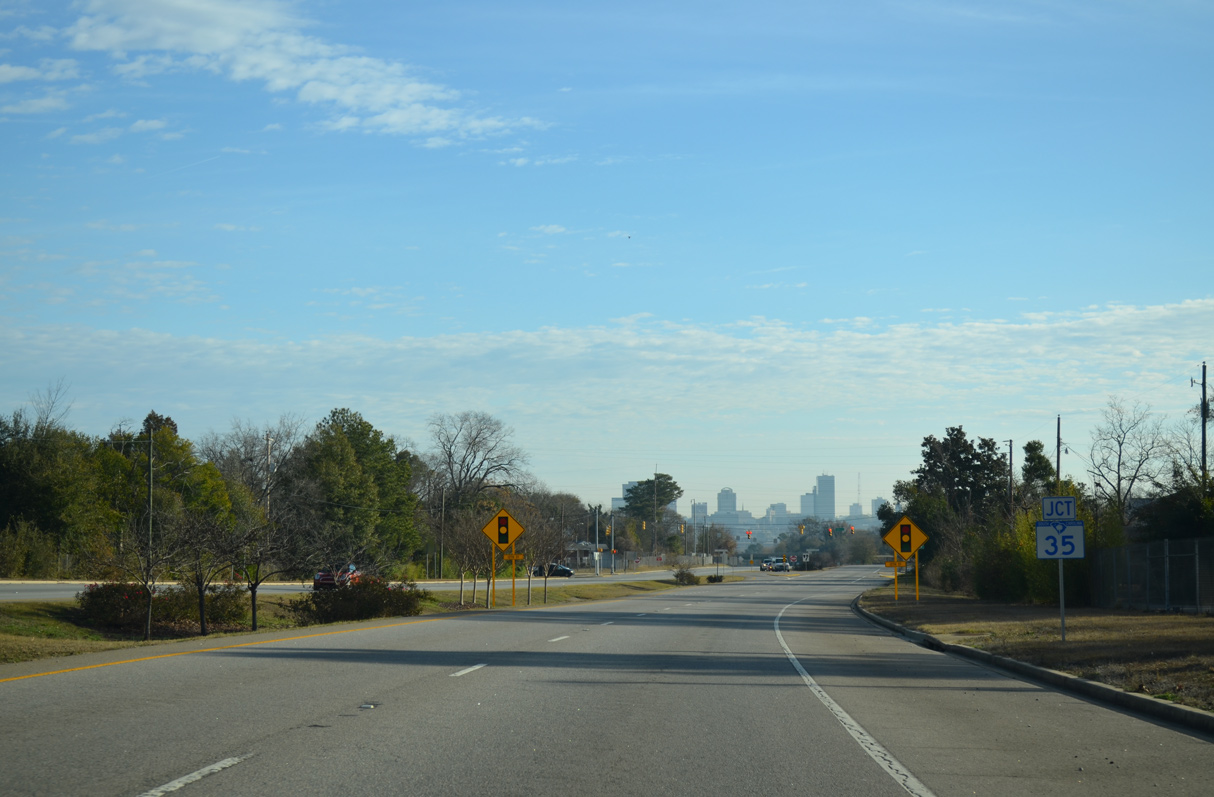
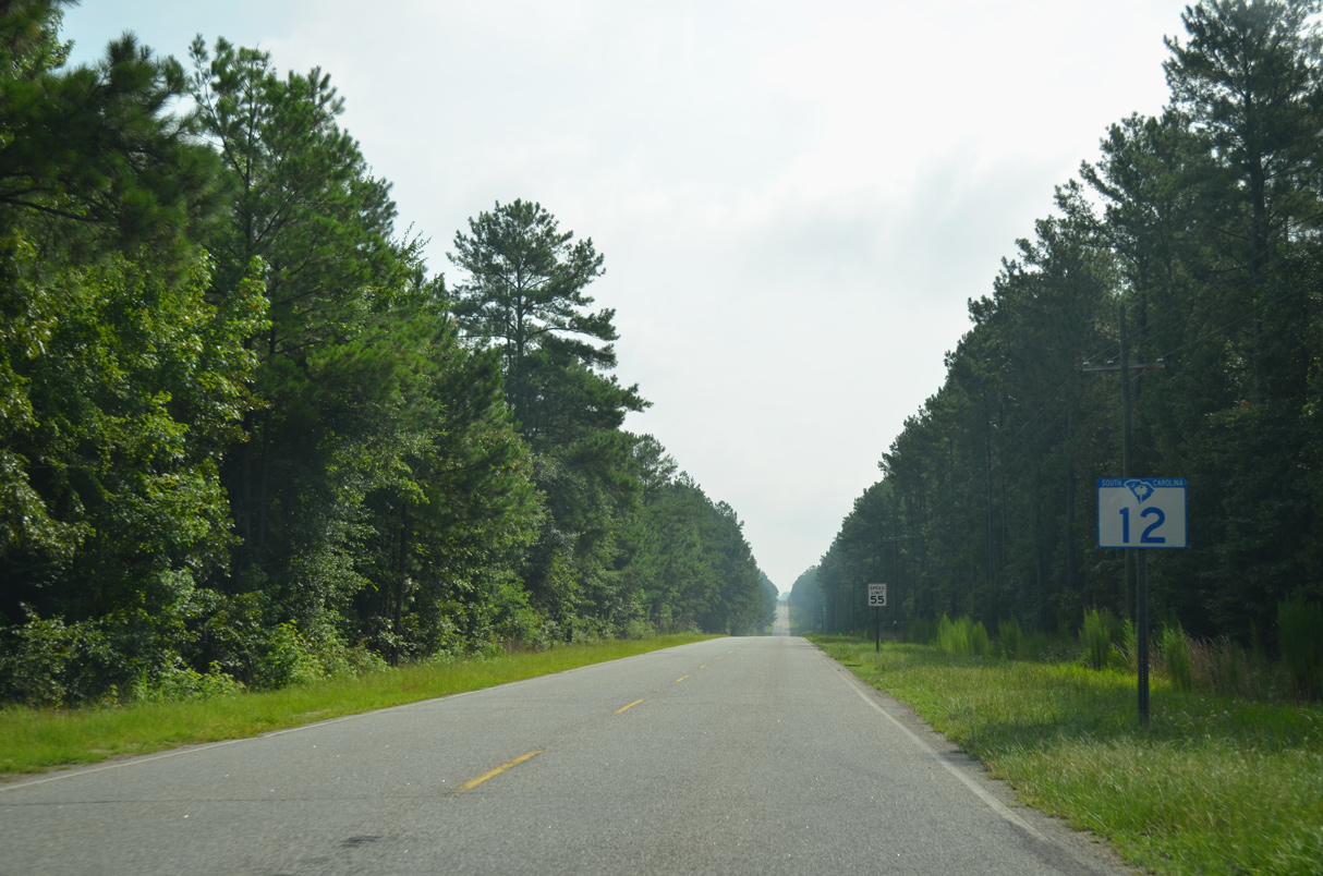
S.C. 35 (12th Street) continues 5.09 miles south from Jarvis Chapman Boulevard to Interstate 77 in the city of Caycee.
12/31/12
12/31/12
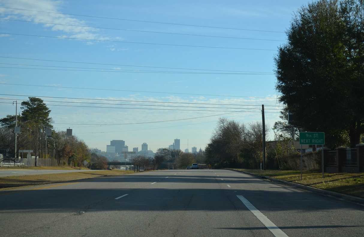
S.C. 12 upgrades to a freeway east from 12th Street and ahead of a diamond interchange with 9th Street (Road 12).
12/31/12
12/31/12
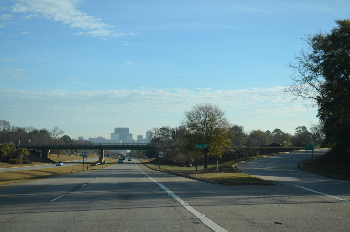
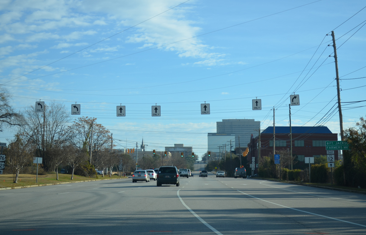
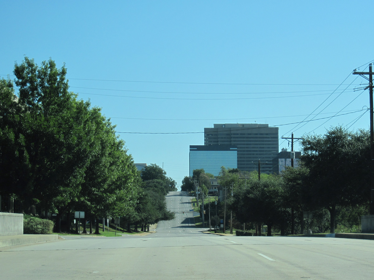
The Downtown Columbia skyline comes into view at the exchange with 9th Street. 9th Street links S.C. 12 with U.S. 378 (Sunset Boulevard) and U.S. 1 (Meeting Street) nearby.
12/31/12
12/31/12
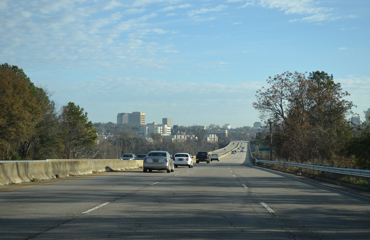
A loop ramp joins U.S. 378 (Sunset Boulevard) east with S.C. 12 (Jarvis Chapman Boulevard) ahead of the Congaree River.
12/31/12
12/31/12
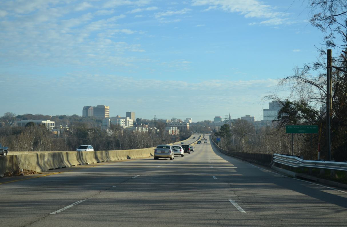
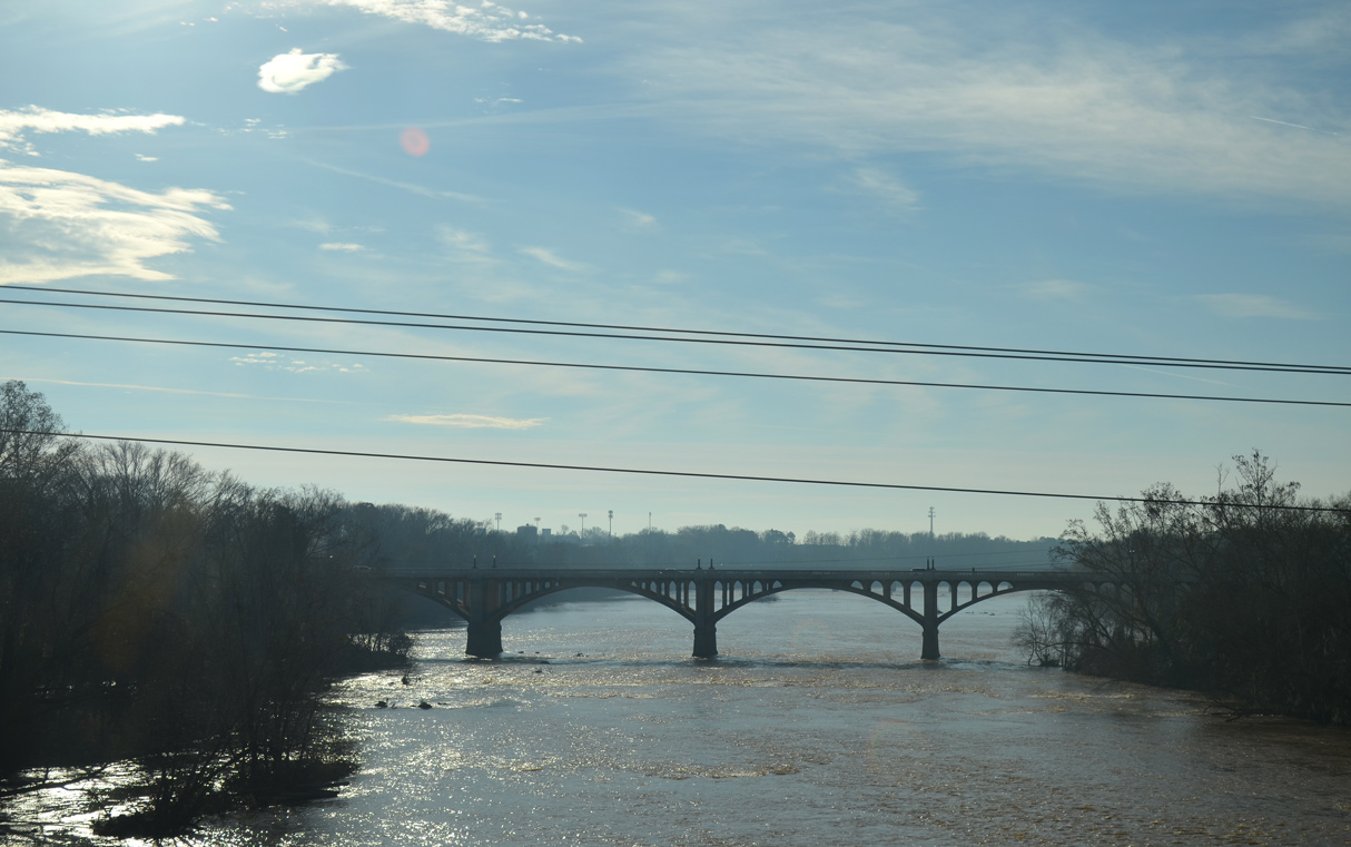
S.C. 12 crosses the Congaree River over the Jefferson Davis McMahan Bridge.
12/31/12
12/31/12
The six lane span for S.C. 12 across the Congaree River was built in 1976.
12/31/12
12/31/12
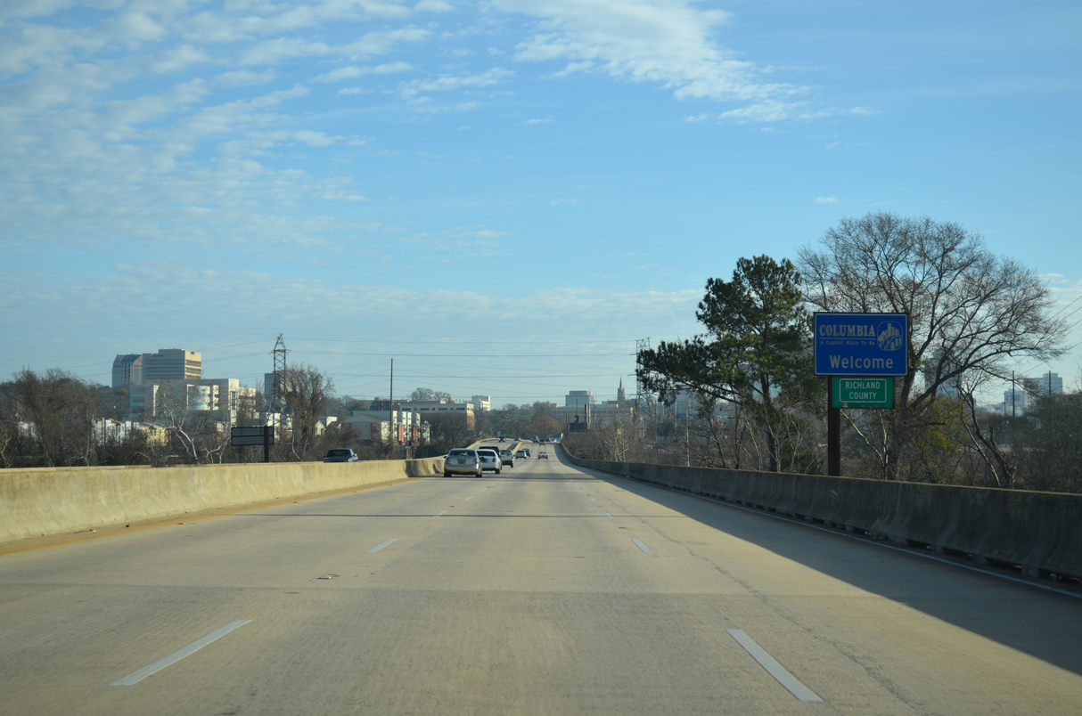
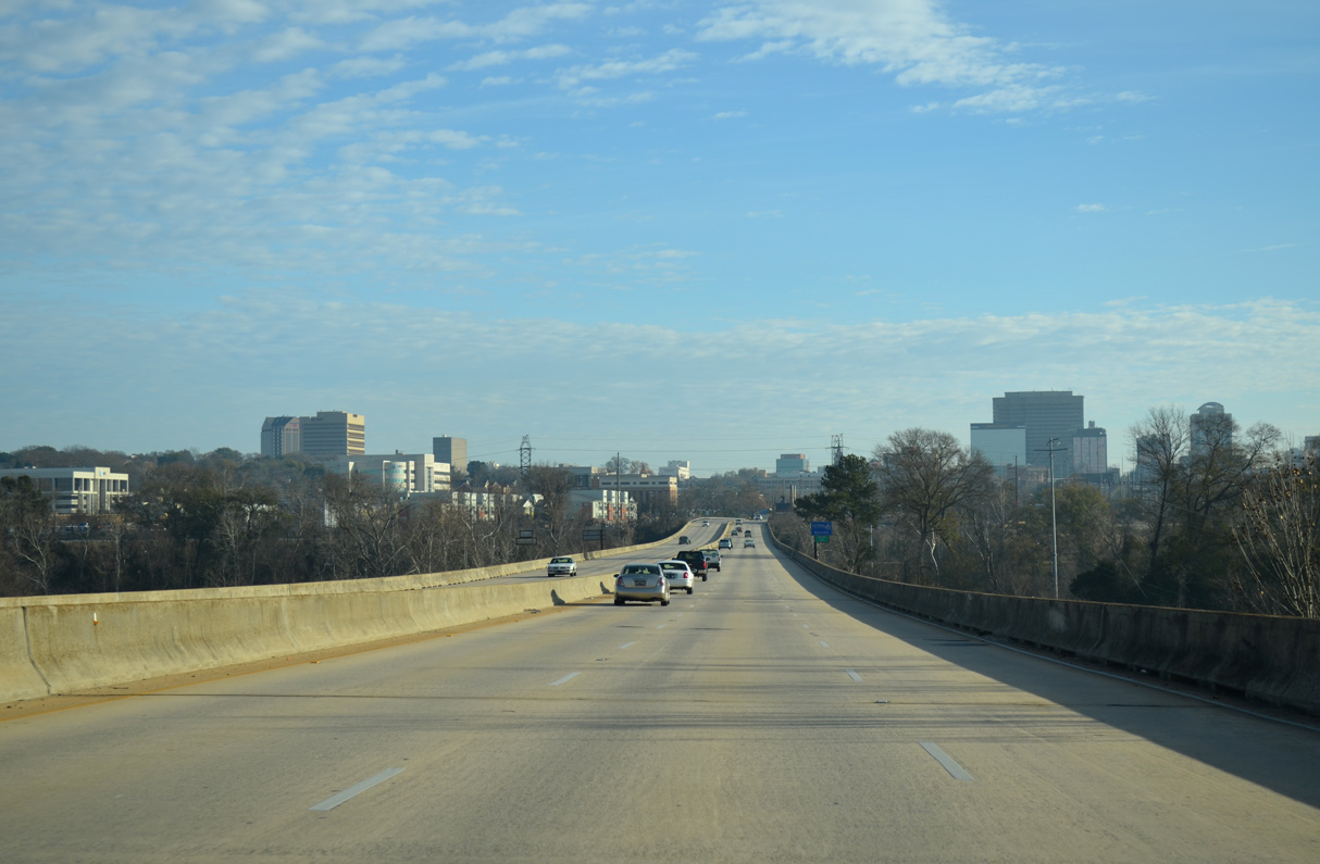
S.C. 12 east enters the city of Columbia and Richland County midway across the Congaree River.
12/31/12
12/31/12
U.S. 1/378 spans the Congaree River just south of S.C. 12 across the Gervais Street Bridge.
12/31/12
12/31/12
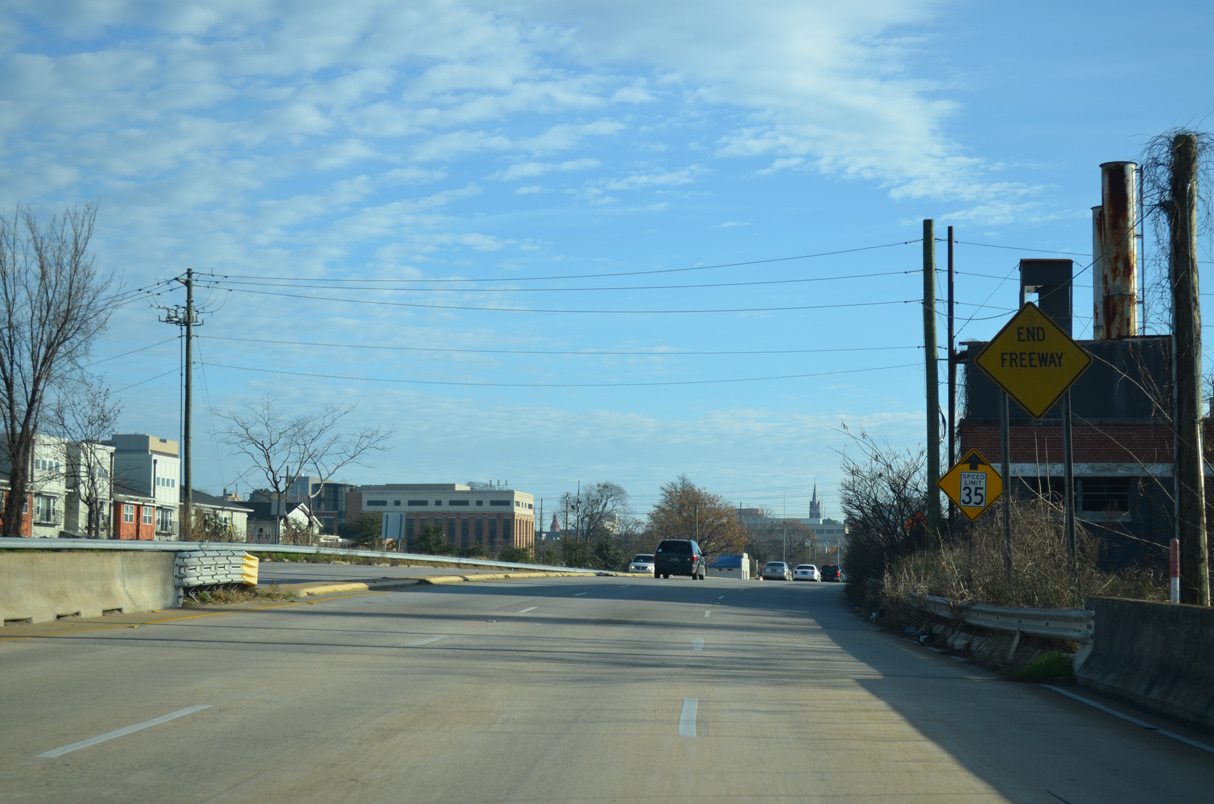
The freeway along S.C. 12 east concludes just beyond the Columbia Canal at Williams Street.
12/31/12
12/31/12
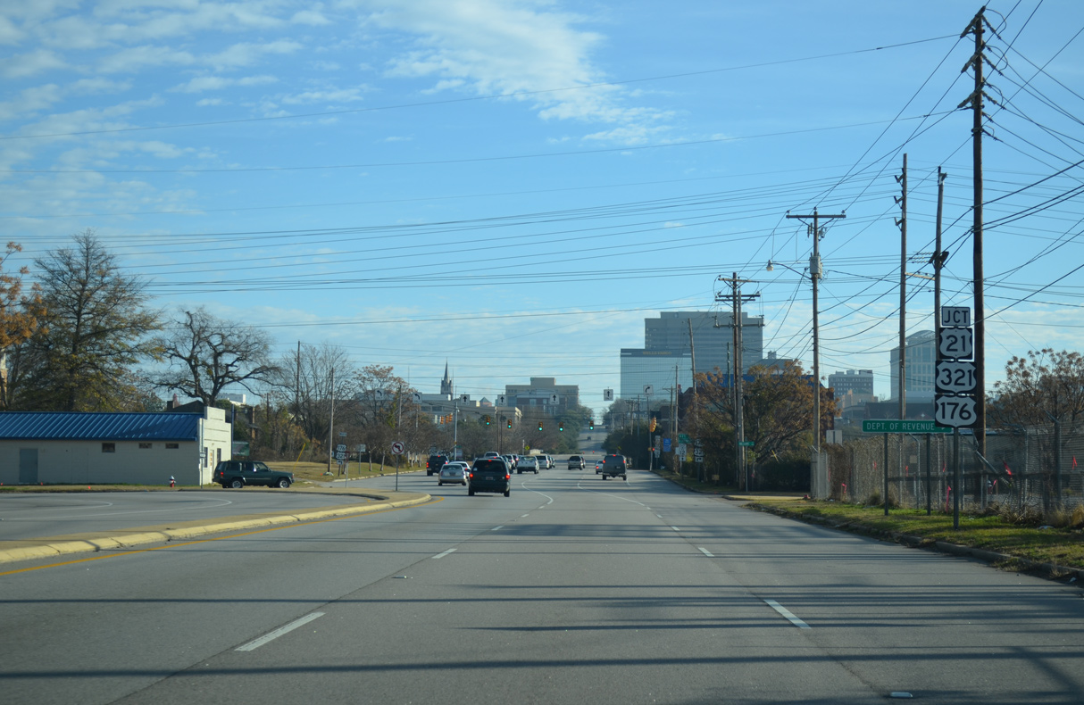
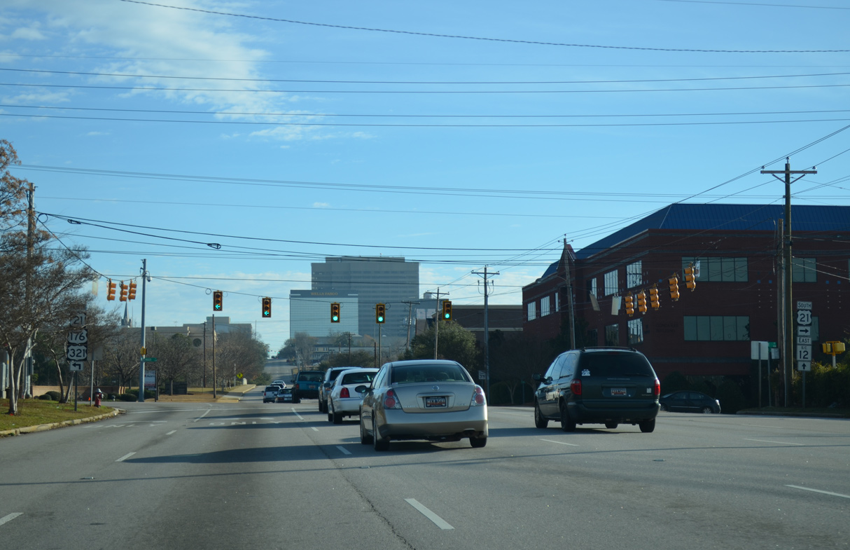
S.C. 12 shifts onto Hampton Street eastbound ahead of U.S. 21/176/321 (Huger Street).
12/31/12
12/31/12
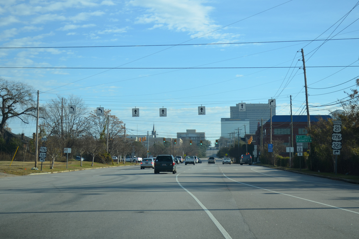
U.S. 21/176/321 overlap 0.94 miles south along Huger Street to Blossom Street (U.S. 21 Connector) near the University of South Carolina (USC) campus.
12/31/12
12/31/12
Hampton Street continues east with one way traffic five blocks from U.S. 21/176/321 (Huger Street) as part of S.C. 12 to Fort Jackson.
12/31/12
12/31/12
12/31/12
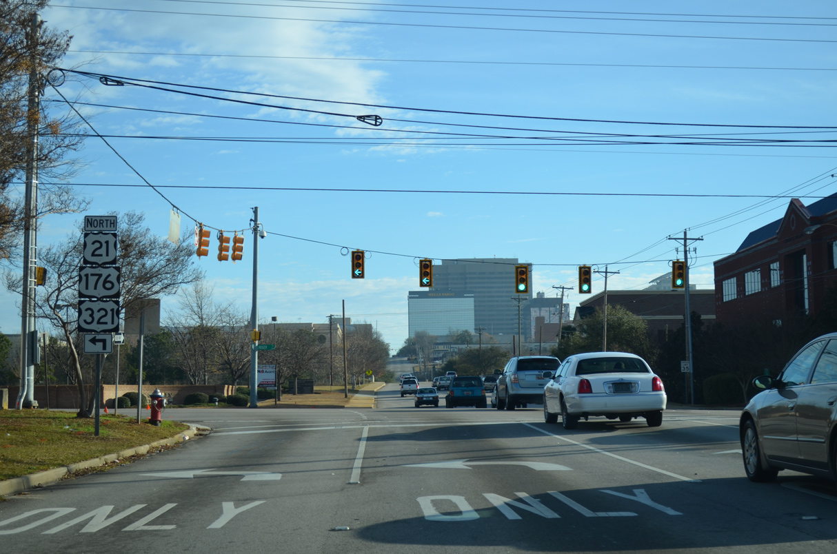
U.S. 21/176/321 (Huger Street) continue 0.77 miles north to Interstate 126 and U.S. 76 at Elmwood Avenue.
12/31/12
12/31/12
Hampton Street spans a CSX Railroad line between Pulaski Street and Wayne Street ahead of Downtown Columbia.
10/03/10
10/03/10
10/03/10
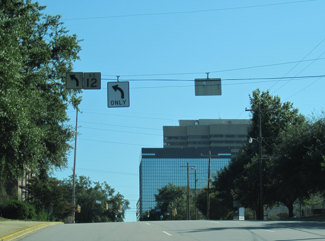
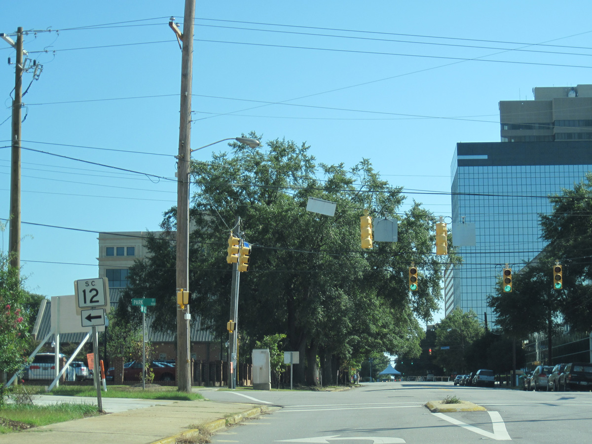
The eastbound direction of S.C. 12 turns north onto Park Street to rejoin westbound along Taylor Street.
10/03/10
10/03/10
10/03/10
Park Street north at Taylor Street.
10/03/10
10/03/10
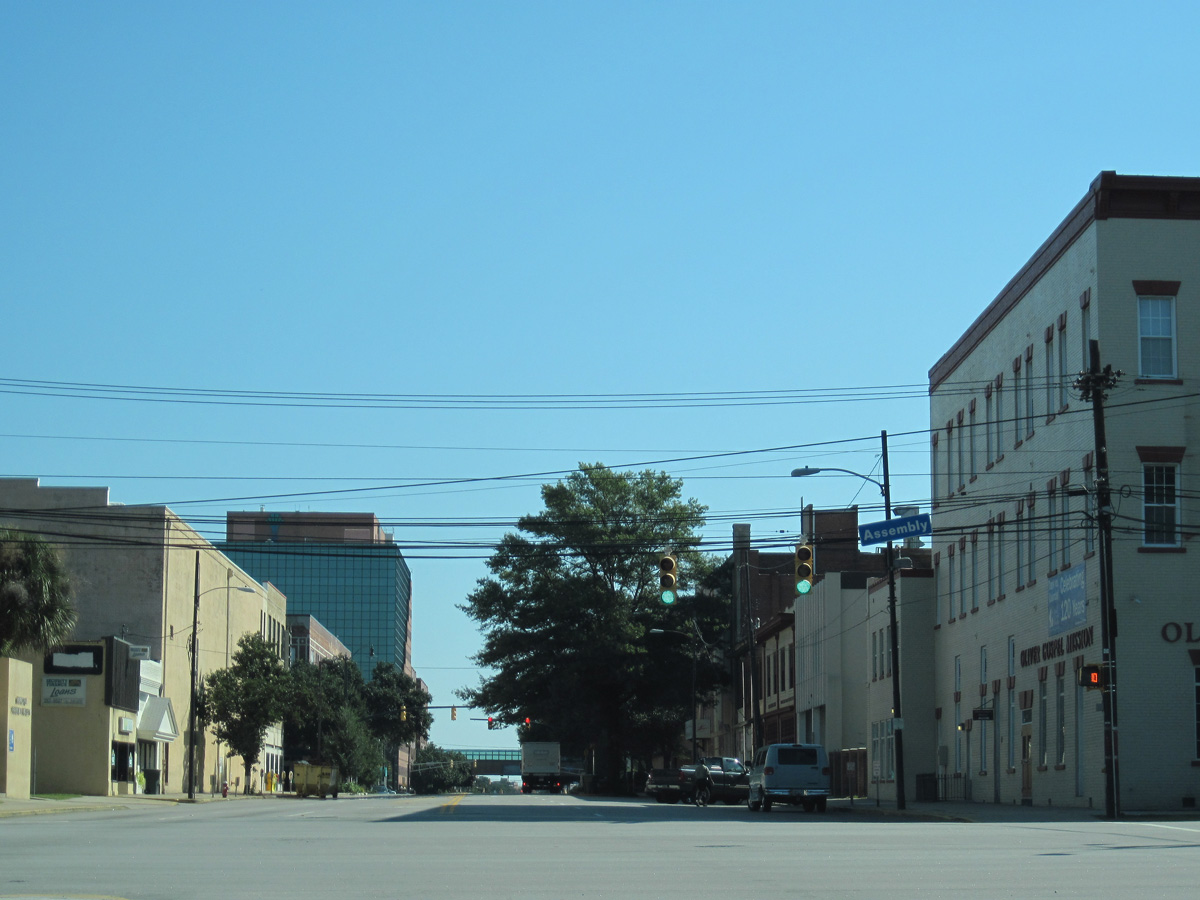
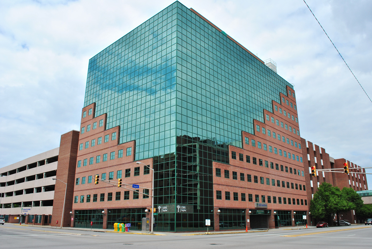
S.C. 12 lines Taylor Street east into the Main Street District at Downtown Columbia.
10/03/10
10/03/10
S.C. 12 advances one block east from Park Street to Assembly Street (S.C. 48).
10/03/10
10/03/10
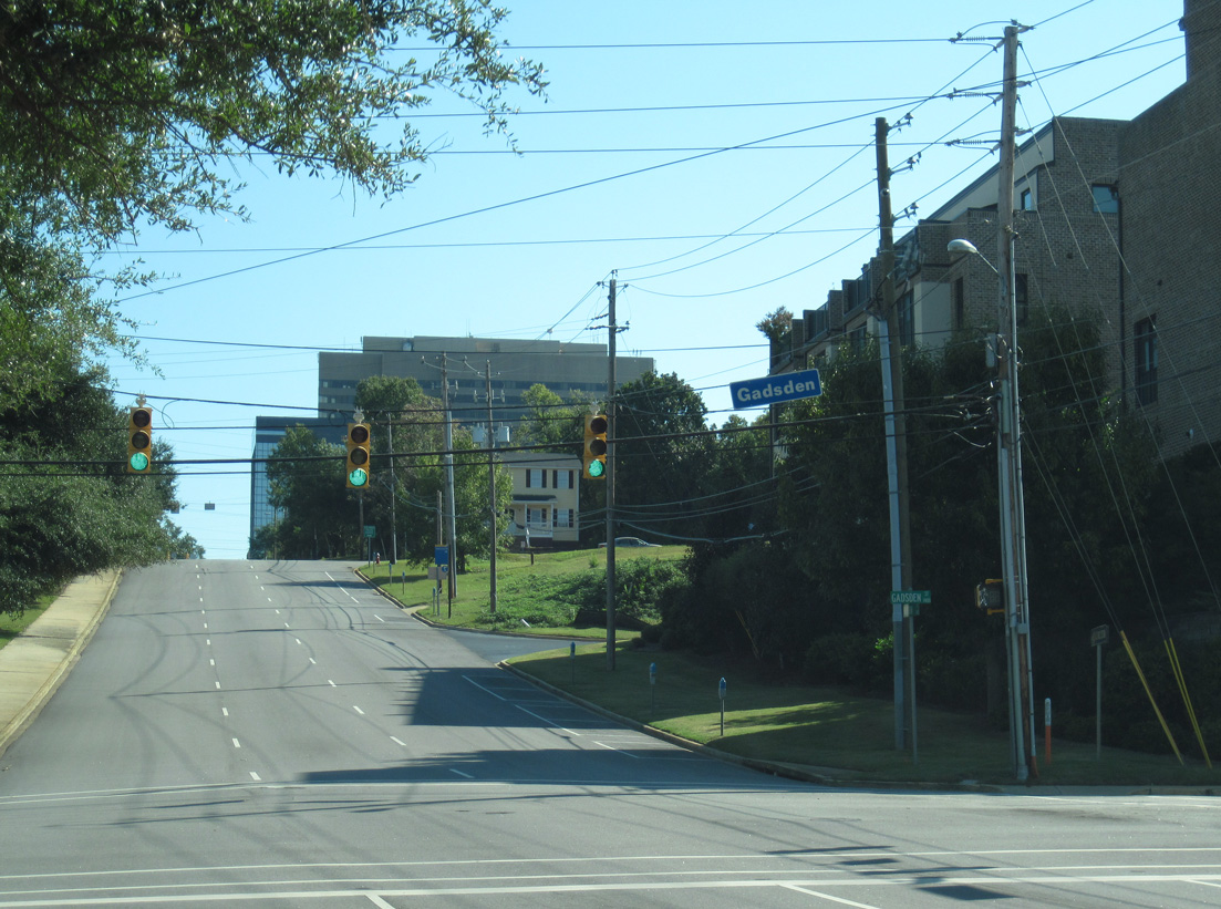
Unmarked on S.C. 12 (Taylor Street), S.C. 48 originates 0.49 miles to the north at U.S. 21/76/176/321 (Elmwood Avenue) and leads south to USC, Williams Brice Stadium and Gadsden.
10/03/10
10/03/10
04/15/12
04/15/12
04/15/12
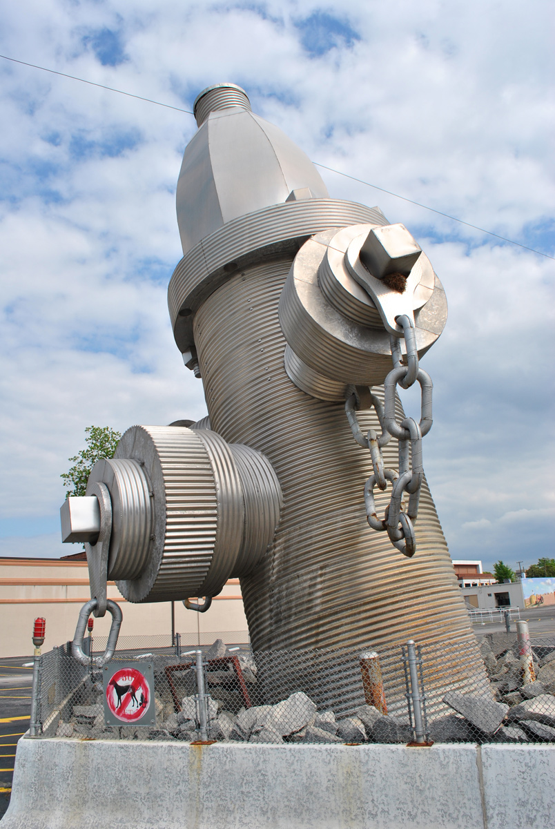
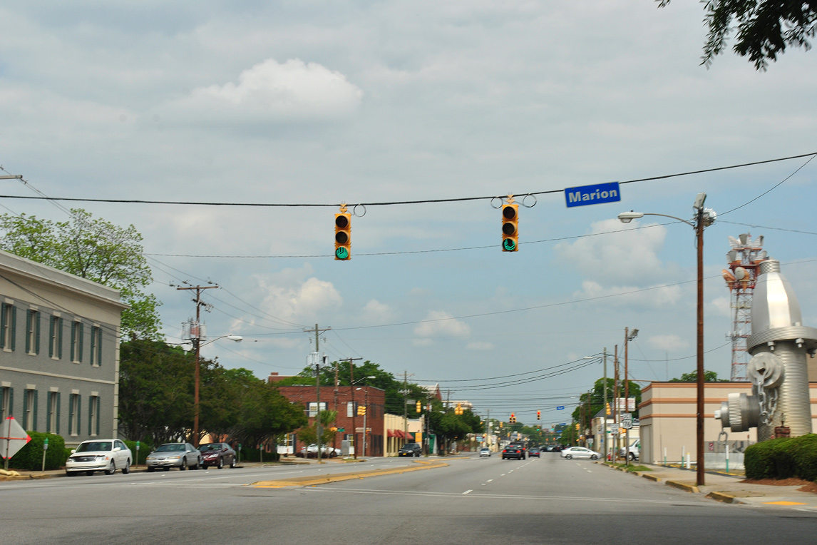
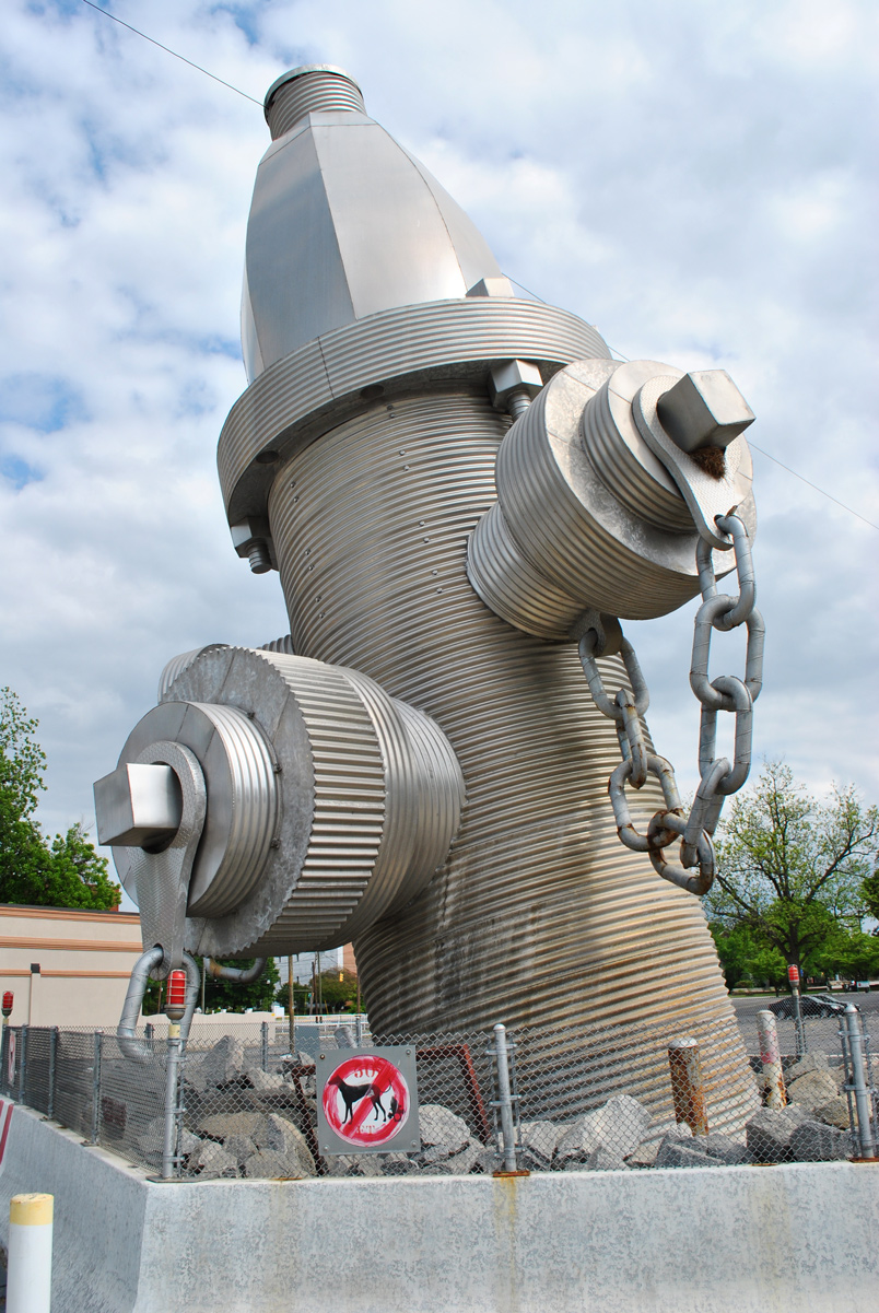
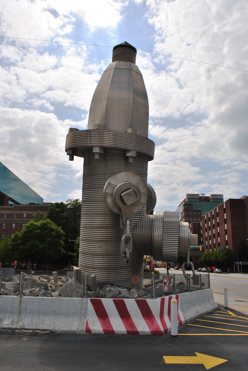
The World's Largest Hydrant is a 40 feet tall concrete, steel and aluminum sculpture along the south side of Taylor Street east of Marion Street.1
04/15/12
04/15/12
04/15/12
04/15/12
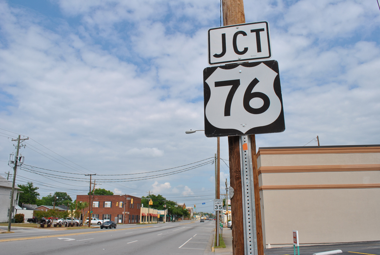
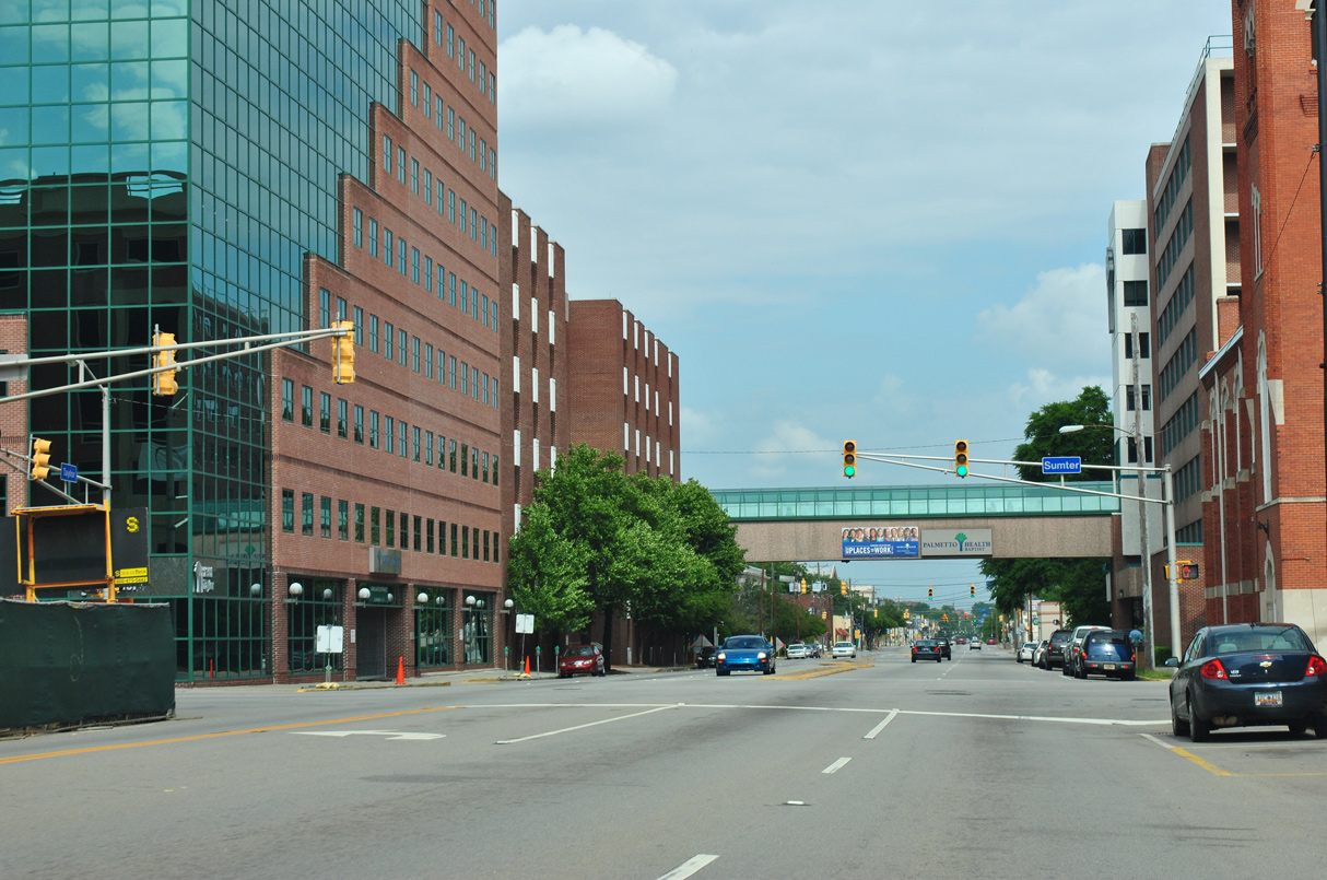
U.S. 76 follows Bull Street for nine blocks between parallel U.S. 1/378 (Gervais Street) and S.C. 277 at Elmwood Avenue.
04/15/12
04/15/12

04/15/12
04/14/12
04/14/12
04/14/12
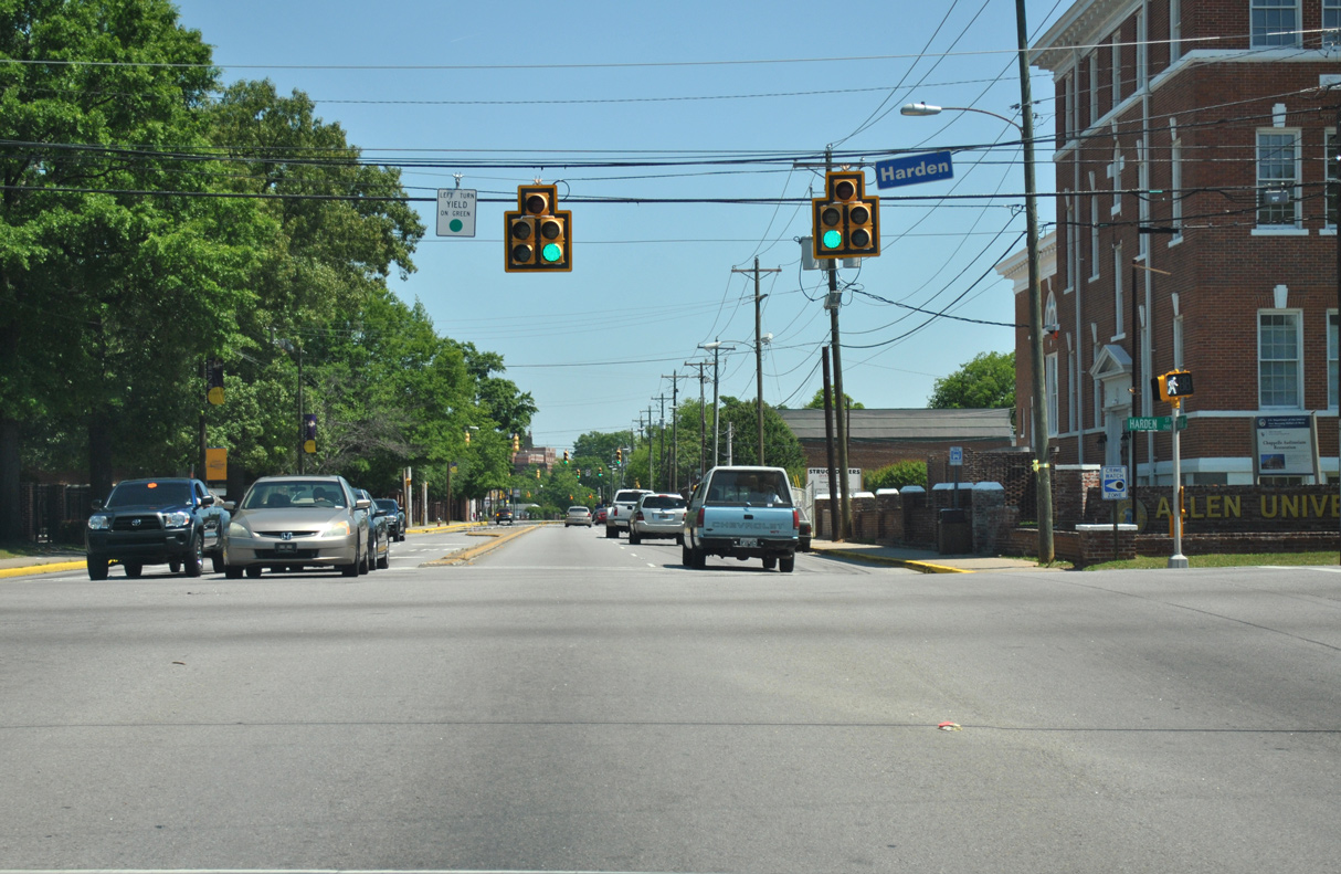
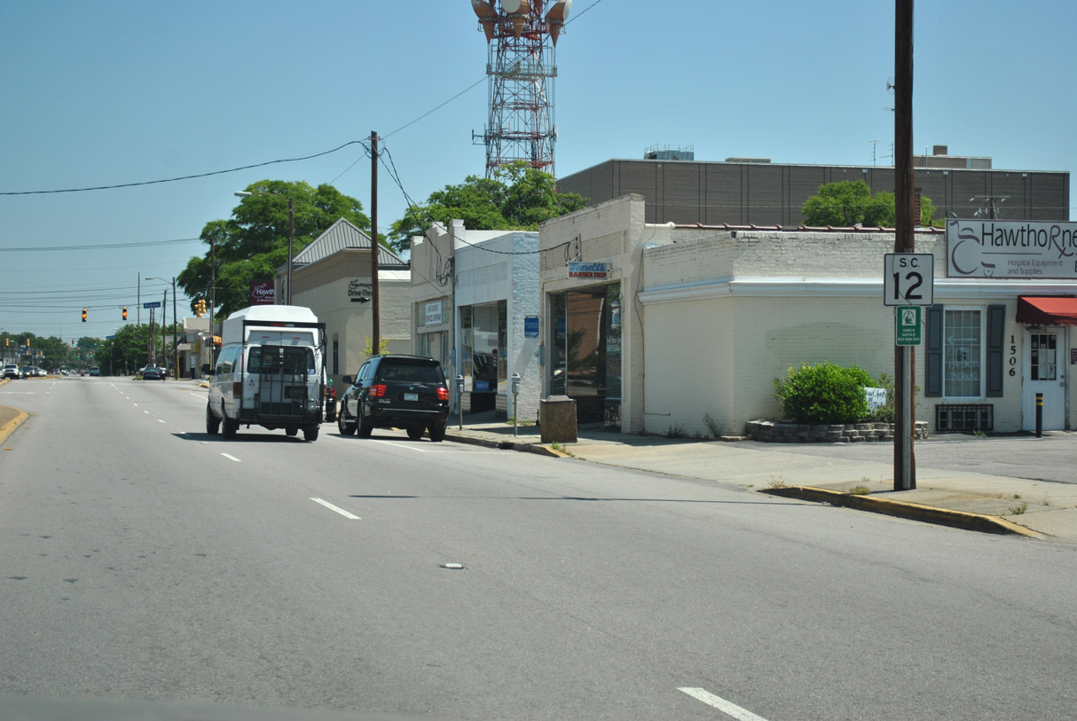
The south end of S.C. 555 on Harden Street is unmarked on S.C. 12 (Taylor Street).
04/14/12
04/14/12
04/14/12
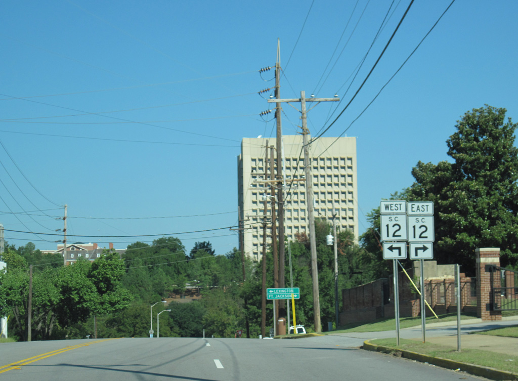
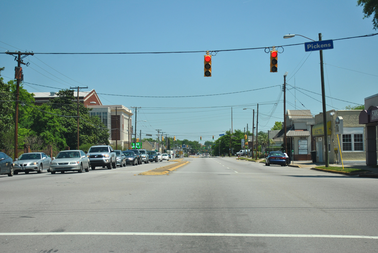
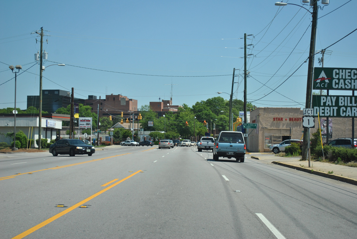
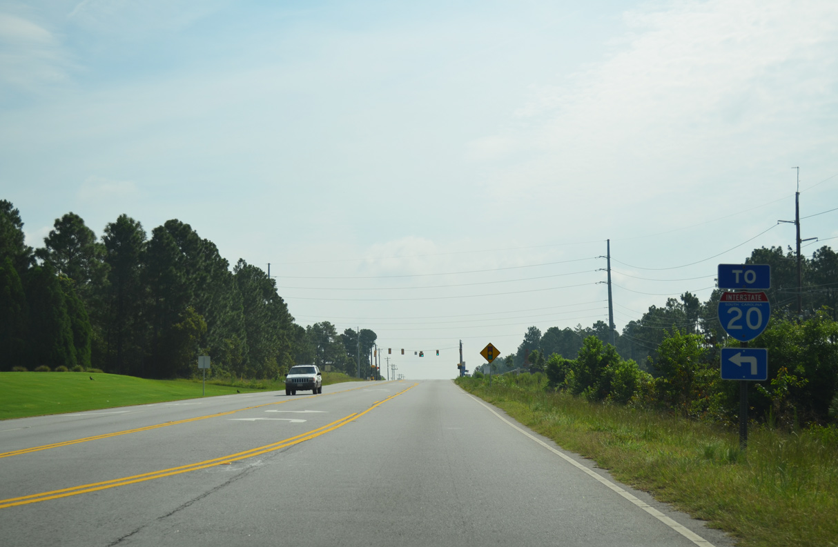
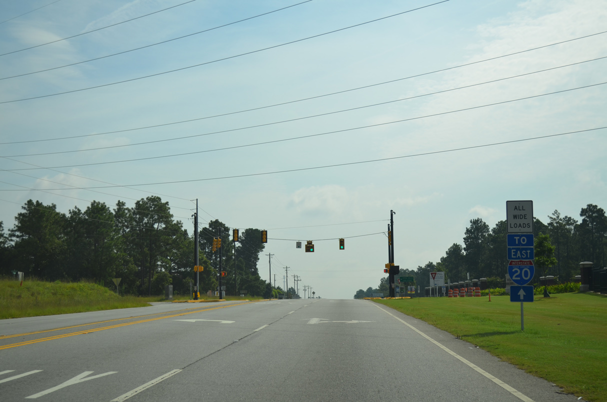
U.S. 1 turns north from U.S. 76/378 (Gervais Street) onto Millwood Avenue to S.C. 12. The route continues northeast along Two Notch Road to Dentsville and Pontiac.
04/14/12
04/14/12
04/14/12
Clemson Road (Road 52) links S.C. 12 (Pervical Road) with Interstate 20 at a diamond interchange (Exit 80) just 0.23 miles to the north.
07/28/13
07/28/13
07/28/13
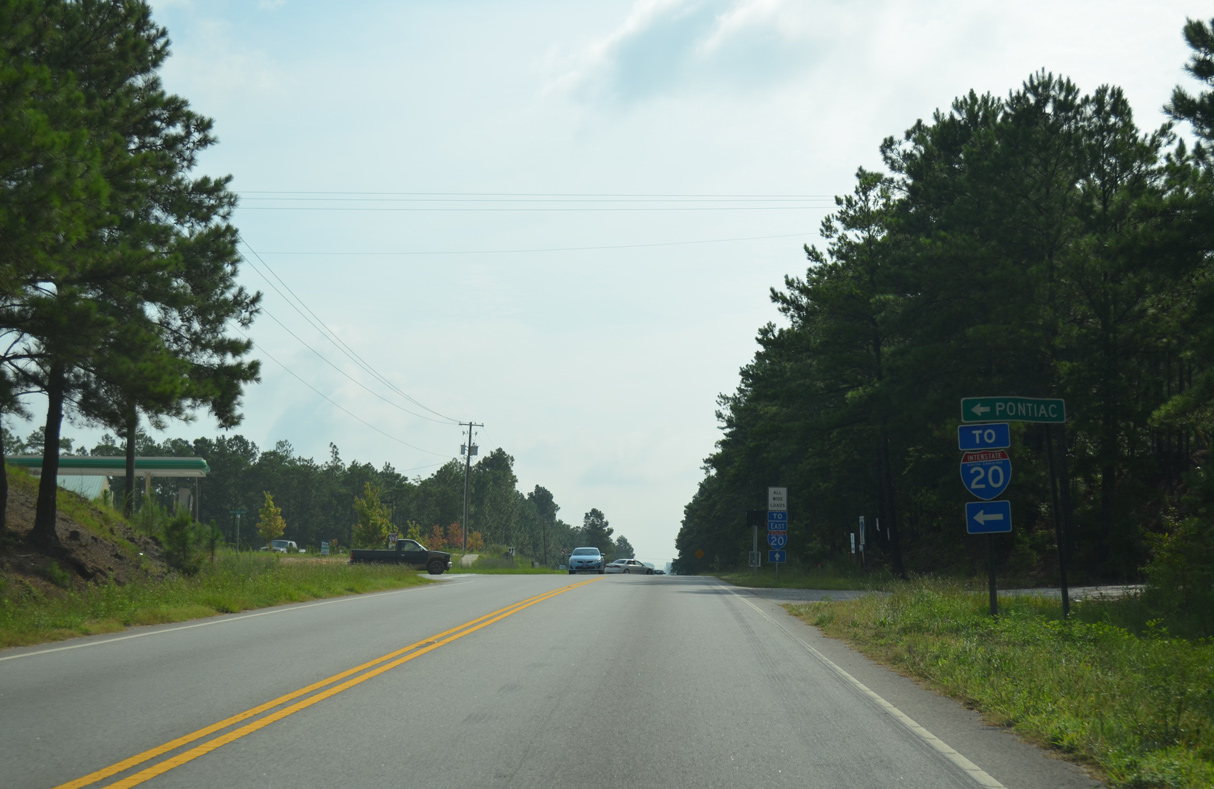
Spears Creek Church Road (Road 53) heads 2.54 miles north from S.C. 12 (Percival Road) to adjacent I-20 and U.S. 1 (Two Notch Road) at Pontiac.
07/28/13
07/28/13
07/28/13
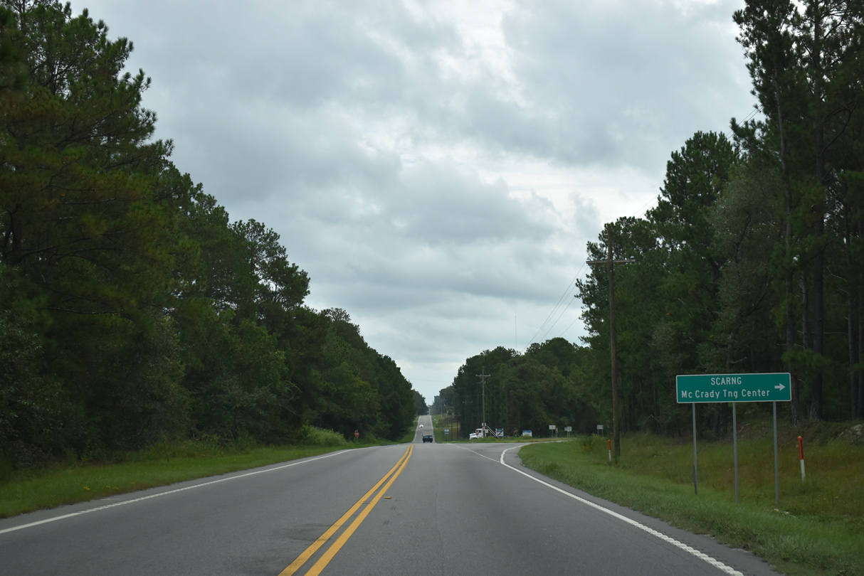
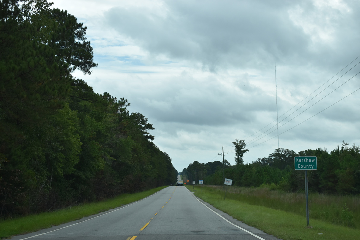
Screaming Eagle Road (Road 268) runs along the eastern boundary of Fort Jackson 7.74 miles from S.C. 12 to U.S. 601,
09/20/21
09/20/21
Reassurance marker posted east of the wye intersection with Screaming Eagle Road (Road 268).
09/20/21
09/20/21
09/20/21
09/20/21
07/28/13
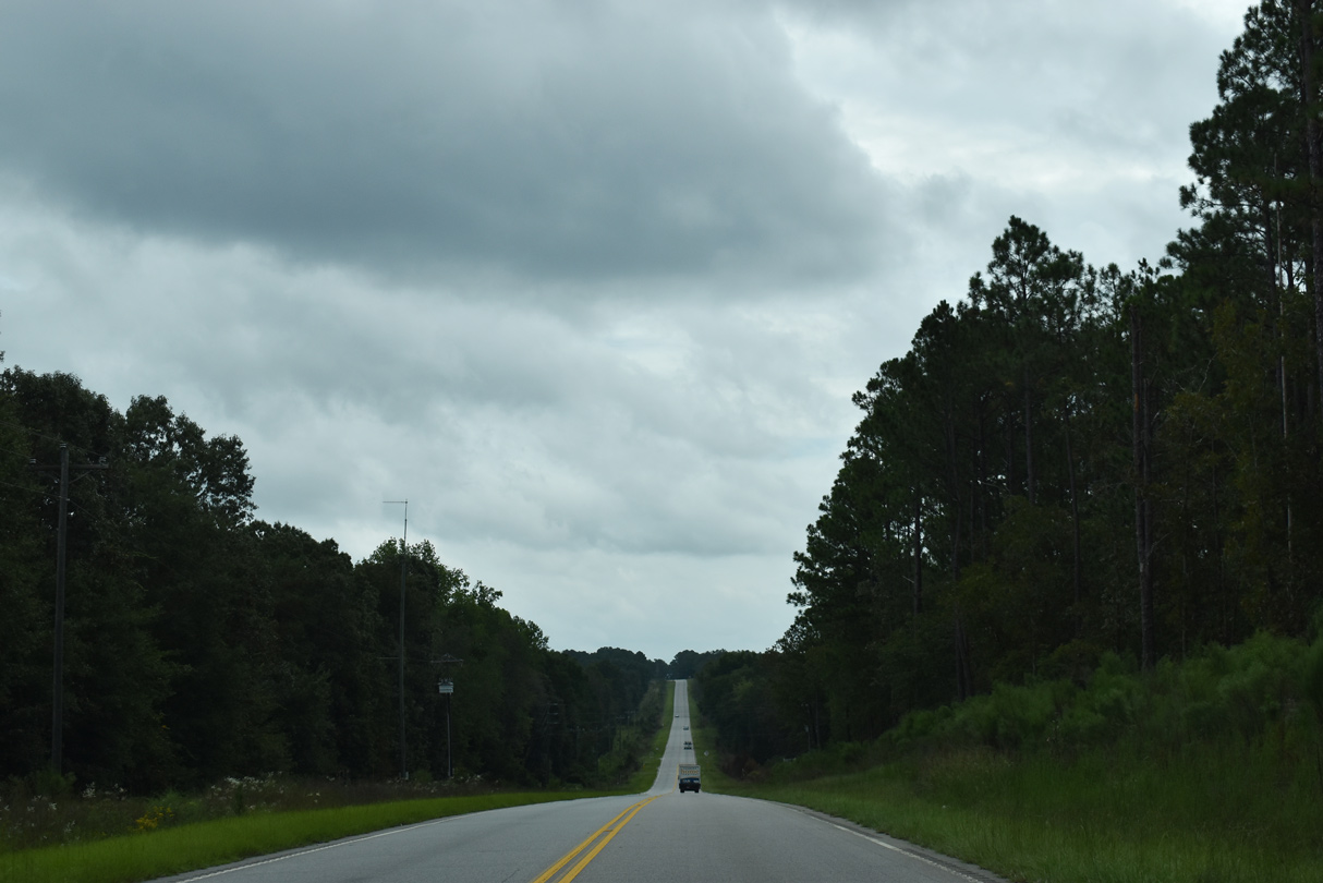
S.C. 12 (Fort Jackson Road) lowers to cross Spears Creek beyond Tower Road (Road 906) south.
09/20/21
09/20/21
07/28/13
White Pond Road (Road 47) runs 3.67 miles north from S.C. 12 (Fort Jackson Road) to Church Street in the town of Elgin. A small guide sign formerly referenced Elgin at four miles here.
09/20/21
09/20/21
Jordan Road (Road 628) stems 1.58 miles south from S.C. 12 to Kennedy Road (Road 627).
09/20/21
09/20/21
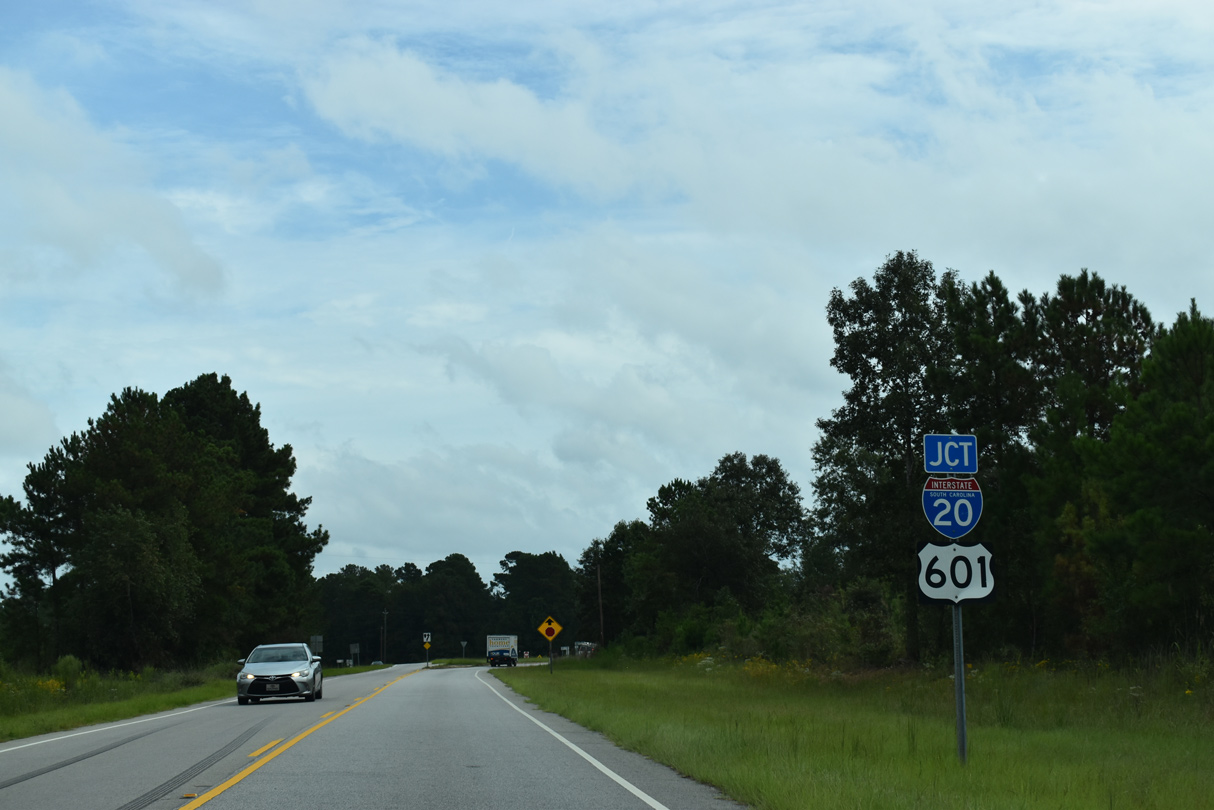
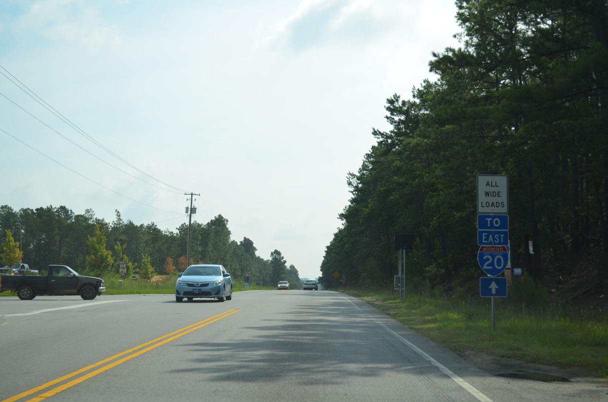
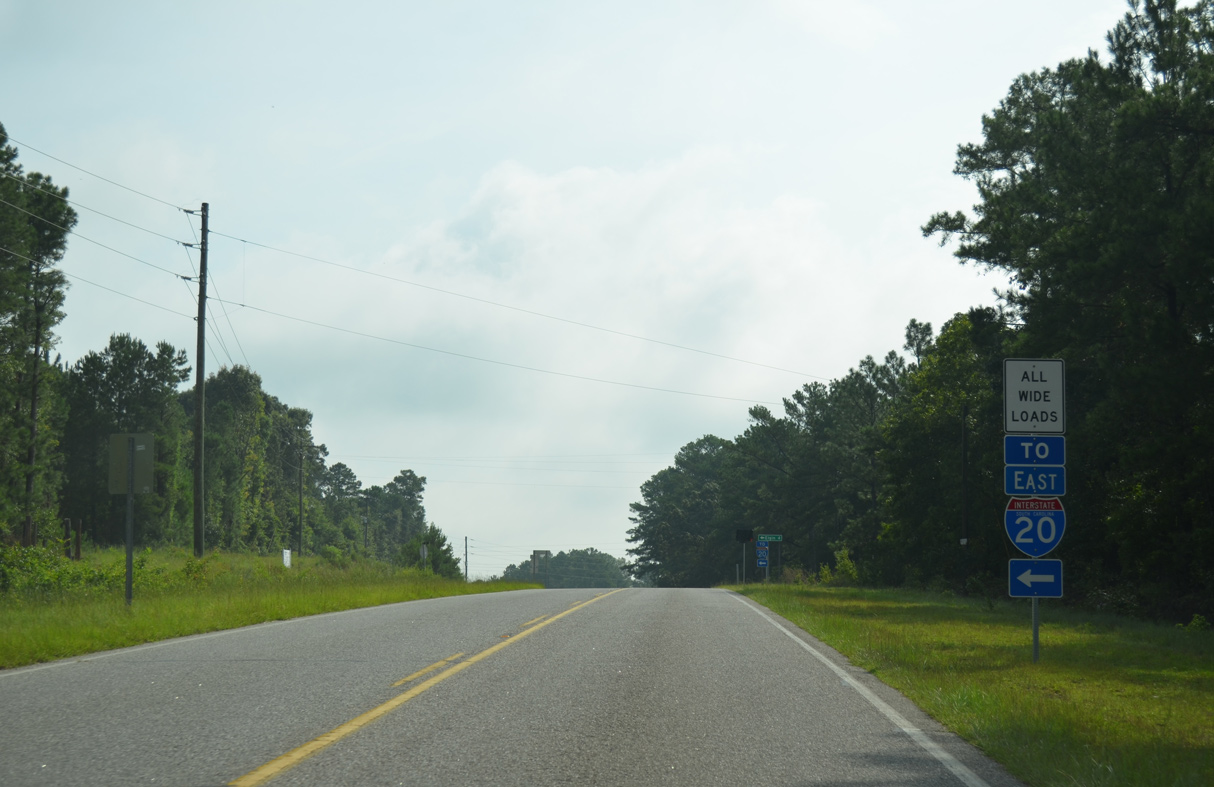
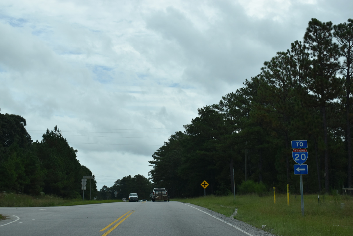
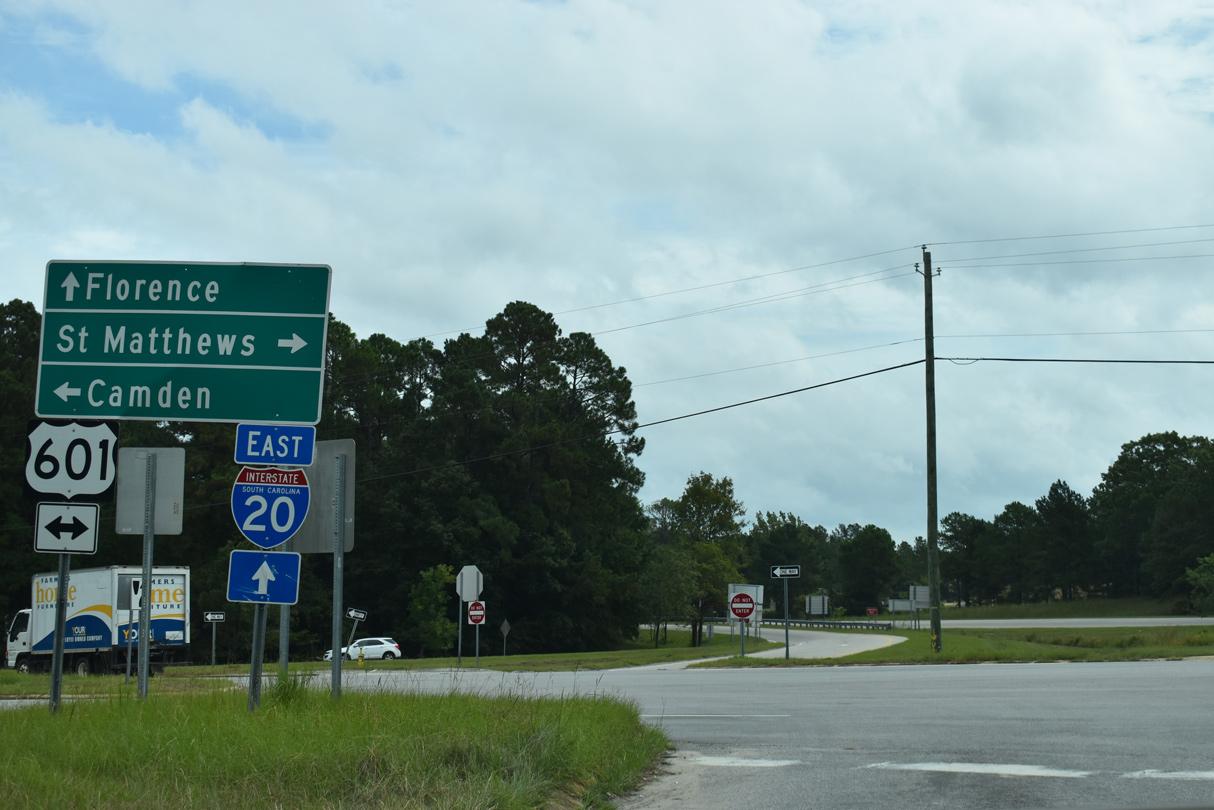
S.C. 12 (Fort Jackson Road) ties into U.S. 601 at ramps with Interstate 20 eastbound.
09/20/21
09/20/21
09/20/21

07/28/13
Photo Credits:
- Alex Nitzman: 12/31/12
- ABRoads: 10/03/10, 04/14/12, 04/15/12
- AARoads: 07/28/13
- Brent Ivy: 09/20/21
Page Updated Thursday December 30, 2021.